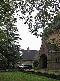
Tag:landuse=churchyard
Jump to navigation
Jump to search
| Description |
|---|
| Area surrounding a church or chapel — Deprecated: consider landuse=religious instead. |
| Group: landuse |
| Used on these elements |
| Useful combination |
| See also |
| Status: deprecated |
| Tools for this tag |
|
Used to map the area surrounding a Christian church or chapel, particularly when this does not contain a graveyard. The churchyard may include a number of ancillary buildings and facilities, such as a church hall, schoolroom and vicarage (manse, priest's house).
| Use of this tag is no longer recommended (see below). Consider using landuse=religious (together with religion=christian if appropriate) to avoid the ambiguity of this tag. |
This tag is problematic as it duplicates more common ways to map such objects and conflicts with some uses of this word[1].
See also landuse=religious, a more general tag with the same purpose, but not related to a specific religion. Note that this tag is suitable also in cases where grounds include no longer visible (and therefore unmappable) underground traces of a former cemetery.
See amenity=grave_yard for a graveyard associated with a church
External links
References
- ↑ Cambridge Dictionary (UK) - "an area of land around a church, where dead bodies are buried ", Merriam-Webster (US): "a yard that belongs to a church and is often used as a burial ground.", The Oxford Dictionary (UK) - "an area of land around a church, often used for burying people" https://lists.openstreetmap.org/pipermail/tagging/2019-December/049875.html and https://lists.openstreetmap.org/pipermail/tagging/2019-December/049882.html
