Tag:natural=isthmus
Jump to navigation
Jump to search
 |
| Description |
|---|
| A narrow strip of land, bordered by water on both sides and connecting two larger land masses |
| Group: natural |
| Used on these elements |
| Requires |
|
|
| See also |
| Status: approved |
| Tools for this tag |
The tag natural=isthmus is used to tag a named isthmus: a narrow strip of land, bordered by water on both sides and connecting two larger land masses. This tag can also be used for tombolos, which are isthmuses consisting of sand.
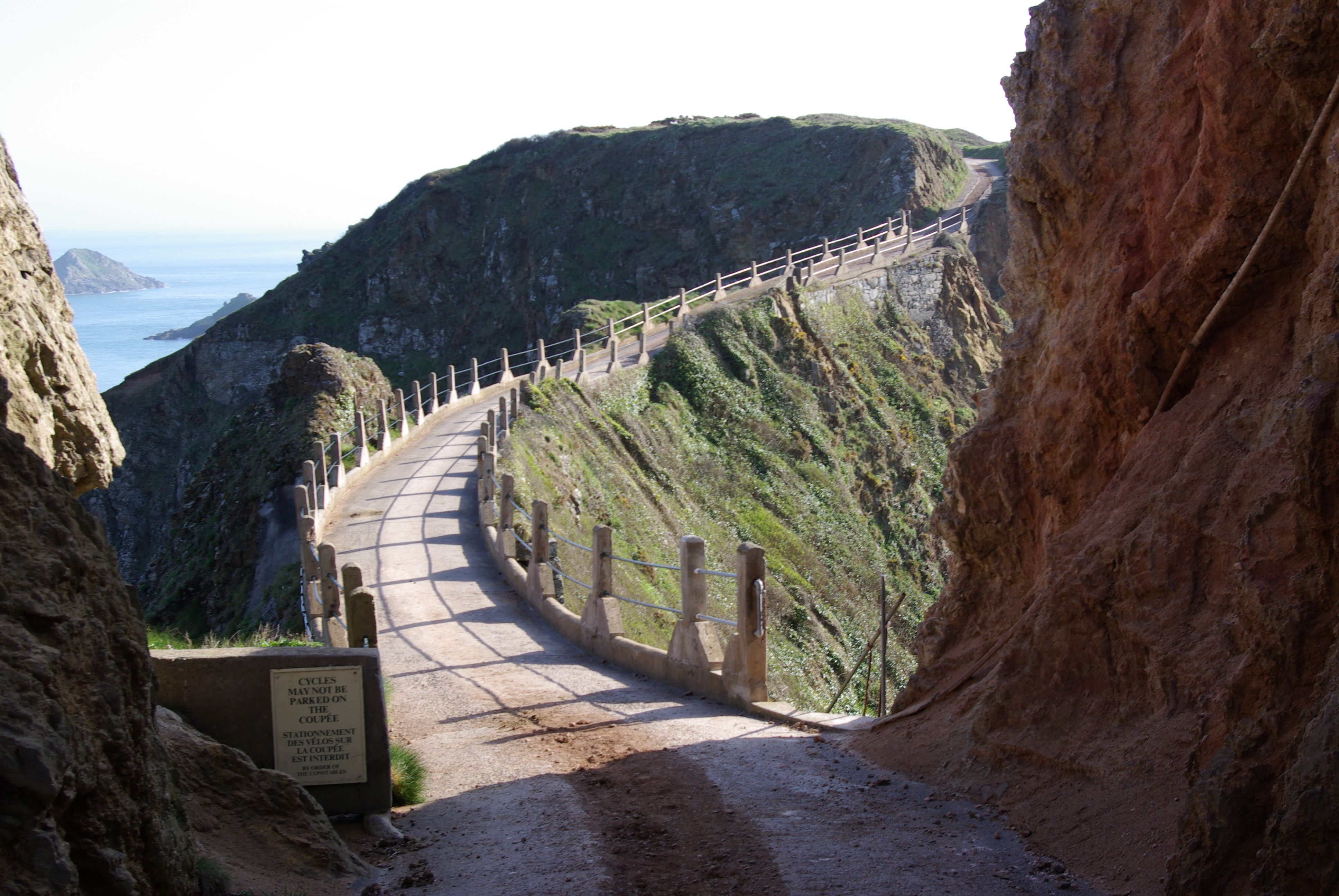
An isthmus is a natural feature and thus natural=isthmus is not intended to be used for embankments, e.g. Hindenburgdamm (attention: non-standard usage of man_made=embankment in example). However, it is possible that an isthmus has been reinforced with embankments, e.g. La Coupée (location).
How to map
Set a node ![]() in the center of the isthmus or draw an area
in the center of the isthmus or draw an area ![]() encompassing the isthmus and add
encompassing the isthmus and add natural=isthmus + name=*.