Talk:ViaAlpina
Hi, please write here in English, Italian or French! Ecrivez ici en français, italien ou anglais! Scrivete qua in italiano, francese o inglese!
How to map
Below are (very draft) guidelines on how to have a coherent tagging and organisation of relations on the 5 routes of the Via Alpina. (Do not hesitate to discuss it in the Discussion page and to improve this page). Originally based on Mayeul commenting this: http://www.openstreetmap.org/browse/relation/2632354
A major reference is: http://wiki.openstreetmap.org/wiki/Walking_Routes
Hierarchy of relations
Currently, the Via Alpina is already split into three levels. This may seem a bit confusing at first, but works very efficient. The reference map http://hiking.waymarkedtrails.org knows exactly what to do. At each level, slightly different tags will provide full information.
Top level
- Via Alpina
type = superroute
[Actually this level is not a superroute but a network of routes. Should be type = network? --Highlander (talk) 15:01, 30 December 2020 (UTC)]
route = hiking
name = Via Alpina
network = iwn
operator = via-alpina.org
description = Hiking route from Trieste to Monaco
symbol = Two curves form an uppercase V in front of an A-shaped gray triangle)
symbol:de = Zwei den Buchstaben "V" formende Bögen vor einem Dreieck in A-Form
symbol:it = Due curve fanno una V maiusculo di fronte ad un triangolo grigio a forma di A
symbol:fr = Deux courbes font un V majuscule devant un triangle gris en forme de A

osmc:symbol = black:red:white_triangle:V:blue
[The red background is wrong. A better approximation is: red::gray_triangle:V:blue. Actually waymarkedtrails.org does recognize gray_triangle even if its not on their list. Why use black as route color? waymarkedtrails.org ignores this anyway, but uses red for international routes. --Highlander (talk) 15:01, 30 December 2020 (UTC)]
Second level
 - Via Alpina Red
 - Via Alpina Blue
 - Via Alpina Purple
 - Via Alpina Yellow
 - Via Alpina Green
type = superroute
route = hiking
name = Via Alpina Red
name:de = Via Alpina Rot
name:fr = Via Alpina Rouge
name:it = Via Alpina Rosso
network = iwn
operator = via-alpina.org
description = Stages R1 - R161, Trieste - Monaco
symbol = Two curves form an uppercase V in front of an A-shaped gray triangle
etc.
osmc:symbol = black:red:white_triangle:V:blue
Third level
   - Via Alpina Red R161
   - Via Alpina Blue D1
   - Via Alpina Purple A1
   - Via Alpina Yellow B1
   - Via Alpina Green C1
   - etc.
type = route
route = hiking
name = Via Alpina Red R161
operator = via-alpina.org
network = iwn
description = Peillon - Monaco - Place du Palais
website=http://www.via-alpina.org/en/stage/341
ref = VA-R161
symbol = Two curves form an uppercase V in front of an A-shaped gray triangle
Etc.
osmc:symbol = black:red:white_triangle:V:blue
Fourth level
This is used for two reasons. One is that a hiking route can be used for several marked footpaths. For instance both Via Alpina and Alta Via dei Monti Liguri. The second reason is to add alternative routes to a stage, for instance access path to hut, alternative in bad weather, etc.
     - (xxxxxx)
       This means that the relation has no name. Instead, put a note for mappers: Part of Via Alpina Red R161
type = route
route = hiking
note = Part of Via Alpina Red R161
operator = via-alpina.org
network = iwn
description = Alternative ... - ...
--Traildino 19:20, 17 December 2012 (UTC)
symbol
osmc:symbol = black:red:white_triangle:V:blue
ref
ref=VA-R157 As seen at: http://www.via-alpina.org/en/stage/337 Beware, BLUE is "D", yellow is "B"... Purple is "A" so I think the following is wrong: http://www.openstreetmap.org/browse/relation/1665395 (Wrong letter should be fixed now Abi12563 21.12.2012)
I'm not 100% satisfied with this, but the fact is that there is no widely common known ref. system for the VA. While if you say "GR20" to any casual hiker in France, they know it's in Corsica (there was even a large fiction movie about it). So we somehow need to choose ourselves what is the best, and it is how the Via ALpina organisation calls it. Mayeul 17:33, 17 December 2012 (UTC)
hyperlink
http://wiki.openstreetmap.org/wiki/Key:website website=http://www.via-alpina.org/en/stage/337 In addition to being useful to the users, whatever the language code ("en") we use, this gives us an "id" which may be useful for systematic/automatic editing in the future. Mayeul 17:33, 17 December 2012 (UTC)
note and description
On this: http://www.openstreetmap.org/browse/relation/2634991 instead of note=Part of Via Alpina Itinéraire Rouge I would stick to a single language in the "note". Mayeul 17:33, 17 December 2012 (UTC) You might want to use: "description" for that instead (which is meant for users, while "note" is for fellow mapers) But the relation already says it. Mayeul 17:33, 17 December 2012 (UTC)
Description is useful for levels 1 - 3. Note is useful for level 4, because this level has no name. --Traildino 19:43, 17 December 2012 (UTC)
name
Not sure the words "Via Alpina" should be repeated at all levels (all relations/ways); probably it is somehow useful, it would be good to know exactly when. Mayeul 17:33, 17 December 2012 (UTC)
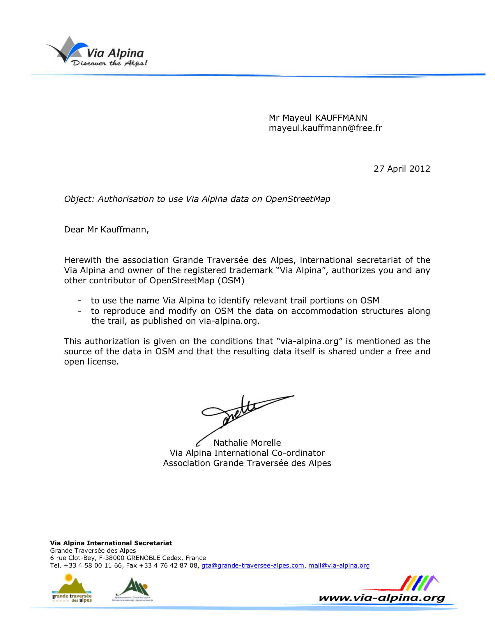
legal
In addition to the letter the Via Alpina organisation wrote (http://wiki.openstreetmap.org/w/images/9/98/Authorisation_ViaAlpina_OSM_accomodation.png) they assure us via email that the tagging proposal is okay: "I [N. Morelle, Via Alpina International Co-ordinator] had a look at the link below [link to this page] and I can’t see any problem with it. The hierarchy seems logical to me and yes of course the OSM community is allowed to use the stage reference numbers (R161, A23 etc.) as well as the “Via Alpina” name. No problem either in using the name of the start and end locations, which is purely factual, we claim no ownership on that!". (--Traildino 22:26, 9 January 2013 (UTC))
Comprehensive redesign of the Via Alpina in 2022 and 2024: How can this be implemented in OSM?
As described on the page Via Alpina the Via Alpina has no longer five trails. There is only one that reuses stages from the red and green trails and three from Grande traverse du Mercantour. I have created a table to find out whether there is a one-to-one relationship between old an new stages. No, it isn't. There are exceptions that are not described at Via Alpina. These are:
- New stage 58: sequence of C1 and C2.
- C8 was splitted into new stages 65 and 66.
- R108 to R113 were shortened to the new stage 79.
- The new stages 112 to 114 correspond to three stages of the 'Grande traverse du Mercantour'.
How could this be implemented in OSM?
- First of all, we would not need three relation levels but only two, because there are no longer the coloured trials.
- Shall the relations for stages from the red and green trials which have been adopted unchanged in the new Via Alpina be modified or should new relations be created?
- Shall the relations of the old and no longer used stages be deleted?
- We need a volunteer to walk and map the new stage 79.
To do list
- chair mapper avec Bing + PCN
There may be better aerial photography than Bing in many regions: eg. for South Tyrol use the South Tyrol Orthofoto 2014/-15/-17/-18 WMS layers. http://geoservices.buergernetz.bz.it/mapproxy/ows?SERVICE=WMS&request=getCapabilities Resolution up to 20cm and licensed CC0-1.0. --Highlander (talk) 15:28, 30 December 2020 (UTC)
- clarify Copyright issues with the Via Alpina foundation. For example: can we use there references (eg: "R160 Sospel » Peillon") ? Copy of a letter clarifying some issues http://wiki.openstreetmap.org/w/images/9/98/Authorisation_ViaAlpina_OSM_accomodation.png
data collecting method
Nous voulons cartographier avec photo+GPS+Bing.
Pour les photos nous voulons aussi l'orientation 3D (pan, tilt, roll), et le GPS avec toutes les informations permettant d'estimer nous-même la précision (en enregistrant des extraits du flux NMEA). Idéalement avec OS GNU/Linux. (note: Anroid n'est pas "une distrib GNU/Linux"; pourraît être un second choix).
L'appareil doit aussi servir de GPSr d'orientation.
Pour l'instant 2 candidats: - Openmoko GTA04 (e.g. Debian / LXDE) avec option camera. (818 euros!). Cf. http://www.handheld-linux.com/wiki.php?page=GTA04 - Nokia N900
Quelqu'un a réussi à enregistrer des extraits du flux NMEA et les info d'orientation 3D des capteurs sur ces appareils ou similaires?
Cartographie le soir sur EEEPC linux (env. 300 euros).
Upload au pire tous les 2 ou 3 jours (quand il y aura du réseau. Problème de durée de session? de conflits?). Besoin d'un forfait, sur 3 pays. QUel forfait le plus adapté?
Instead of buying an expensive GPS camera, use the camera of your mobile, even if it has no GPS. Use it together with your GPS receiver. Synchronise the clock of your mobile with the clock of your GPS receiver. The time you take a picture is saved in the exif information of the jpeg. In JOSM, you can import your pictures and use the exact time in the exif to link it with the track of your GPS receiver. This may work even better than using a camera with built in GPS. Drawback is that you won't save information about the azimuth of your picture. A simple solution is to apply your own convention: take a landscape picture for things in front of you, and take a portrait picture when looking backwards. --Traildino 19:53, 17 December 2012 (UTC)
An Android device with GPS works very well for carthography. Install OsmAnd and let it record a GPX trace all the time. That way your GPS unit will be always on and the pictures you take will reliably have GPS info embedded. Alternatively there is a Mapillary App that records the orientation too if you have a device with compass. You should upload your pics to Mapillary anyway for other people to use. --Highlander (talk) 15:19, 30 December 2020 (UTC)