User:Memch
About
My WMS / Tileserver
Initial position

After traveling through morocco in 2008 i spent some tracks to OSM.
Before travel i took lots of out-of-coyright-maps and prepared them for navigation. These maps are despite the age still enough precise, since most roads and villages never gets moved. See details of this georeference here: http://domain/memch/gpspilot/gpspilot.html#Kartendateien_auf_dem_VFS
See:
http://wiki.openstreetmap.org/wiki/Out-of-copyright_maps#Old_maps_found_elsewhere_on_the_web
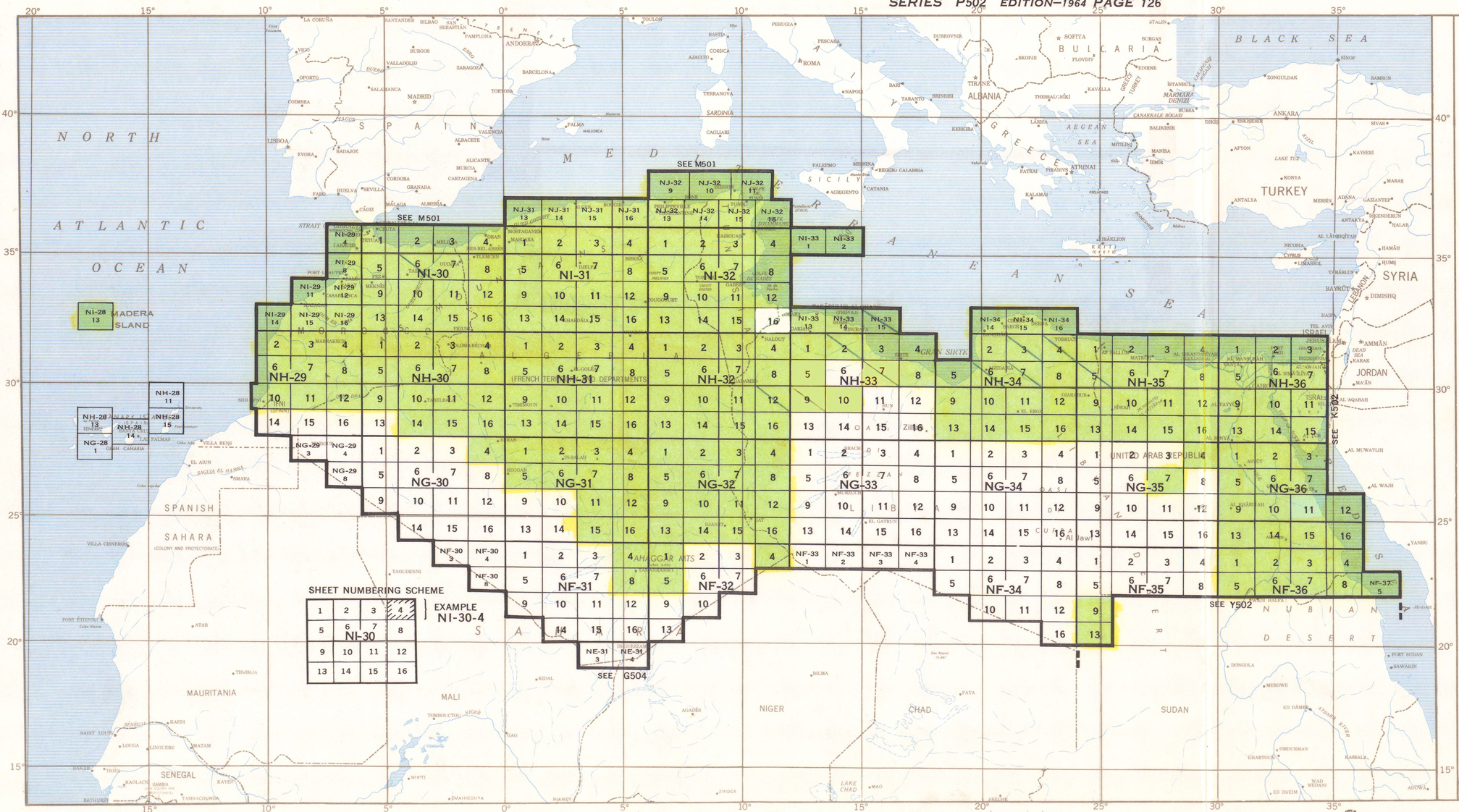
http://www.lib.utexas.edu/maps/ams/north_africa/ (http://www.lib.utexas.edu/maps/ams/north_africa/txu-oclc-6949452-index.jpg)
http://mapy.mk.cvut.cz/list/data/Maroko-Morocco
and others ..
Implementation
Online Tools, such as http://labs.metacarta.com/rectifier/ needs recalibration again, so this is not useful here.
So i implemtented my own own Webservice for WMS (http://de.wikipedia.org/wiki/Web_Map_Service) Openlayers Tileserver (http://openlayers.org/), which uses direct georeferences from the Navigationtool GPSPilot.
All prepared Maps can be used as tiles or WMS. Keep in mind that the services is still hosted on a ADSL account with just 600 kBits upload.
Tiles: http://domain/app/openlayers.html?zoom=6&lat=28.30438&lon=-8.9209&layers=B0000000FFFT
WMS: http://domain/app/tile.php?layer=rus500&bbox=-8.3,31.4,-7.6,31.9&width=640&height=480
Usage
Actually there are following layers to use (see url parameter: layer=xxxxxxxx):
rus500: full coverage, good precisicon, cyrillic, Coverage: http://domain/app/openlayers.html?zoom=6&lat=28.30438&lon=-8.9209&layers=B0000000FFFT
rus200: partial coverage (nord east), good precisicon, cyrillic. Coverage: http://domain/app/openlayers.html?zoom=6&lat=28.30438&lon=-8.9209&layers=0B000000FFFT
rus100: few coverage, good precisicon, cyrillic. Coverage: http://domain/app/openlayers.html?zoom=6&lat=28.30438&lon=-8.9209&layers=00B00000FFFT
ams250: full coverage, less precise, latin letters, older. Coverage: http://domain/app/openlayers.html?zoom=6&lat=28.30438&lon=-8.9209&layers=000B0000FFFT
Use following templates for JOSM WMS-Plugin and Potlatch:
JOSM WMS Plugin: http://domain/app/tile.php?layer=xxxxxxxx&
Potlatch Custom Background: "http://domain/app/tile.php?layer=xxxxxxx&z=!&x=!&y=!"
Fill parameter "layer=" with correct value, see above.
If you have copyright - compatible maps, and need a tile server or wms, feel free to contact me here: http://www.openstreetmap.org/message/new/memch
Example use
Russian 100k
The only "rus100" map covers that area: http://domain/app/openlayers.html?zoom=11&lat=31.16619&lon=-7.7391&layers=00B00000TFFF
So your help could start here: Potlatch with "layer=rus100" as custom background

Russian 200k
The nine "rus200" map covers that area: http://domain/app/openlayers.html?zoom=8&lat=34.71962&lon=-4.94368&layers=0B000000TFFF
So your help could start here: Potlatch with "layer=rus200" as custom background
Full coverage of Russian 500k and American Mapping service 250k
Or in the "Jebel M'Goun" area, center http://domain/app/openlayers.html?zoom=10&lat=31.50988&lon=-6.44426&layers=B0000000TFFF:
Edit with "rus500": Potlatch with "layer=rus500" as custom background
Edit with "ams250" (American Mapping service): Potlatch with "layer=ams250" as custom background
