User:Snoozingnewt/Comanche County
On 3/21/2023, I started mapping Comanche County.
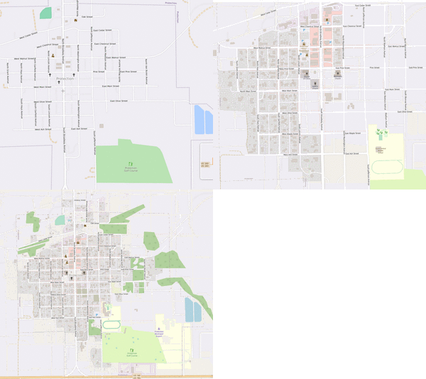
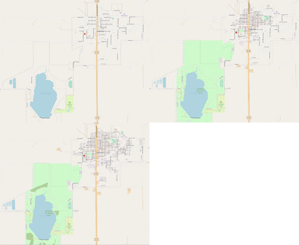
Here is the progress since my first changeset:
Timeline
3/21/2023: Mapping Starts
3/23/2023: Building/Landuse mapping of Protection, Kansas has finished.

3/25/2023: Building/Landuse mapping of Coldwater, Kansas has finished.
3/28/2023: Building/Landuse mapping of Wilmore, Kansas has finished. The OSMUS Buildings project is posted.
3/30/2023: The addition of address data of all three incorporated towns in the county has finished.

4/01/2023: Buildings have been finished, minus minor validation issues, which will be fixed soon. Roads project is posted.
4/03/2023: Roads project is 20% done.
5/05/2023: Roads project is 45% done. Address tasking manager has been created
Progress Report
| Place | Roads | Buildings | Addresses | Waterways | Landuse |
|---|---|---|---|---|---|
| Protection | Yes | Yes | Yes | Yes | Yes |
| Coldwater | Yes | Yes | Yes | Yes | Yes |
| Wilmore | Yes | Yes | Yes | Yes | Yes |
| Rural Areas | In progress | Virtually Done | In progress | In progress | In progress |
To Do (General)
- General Road Cleanup
- Road Alignment
- Fix silos --> storage tanks (potentially add tagging)
- Waterways/Bodies of water
- Double check all roads/add paving data/fix name data/road classification
- Landuse (farmland, farmyards, forests, grassland, other in that order)
- Any missing buildings
- Addresses (fix instances of address=unincorporated)
- Bridge paving data check
Links
OSMUS Comanche County Buildings Project