User:Wollschaf
I'm currently mapping Weinheim, Germany and the surrounding region (Bergstrasse) using a BU-303 USB GPS mouse + notebook for longer drives and a Geko 201 for everything else.
The geko is configured to record points by distance (2 m) which seems to be the best option for walking around and for driving. Auto modes record too few points for my taste, and logging points every second while walking is too much. The 2 m setting creates not-so smooth logs if moving with a speed of less than 2 m/s (walking), and naturally will record a point every second if moving faster (-> smooth log). Accuracy in the first case is still good, I had no problems tracing normal roads created with that setting. I got into trouble with small features, though. 2m resolution is just not enough for that.
I have also started mapping some tiny parts of Sardinia (Gulf of Orosei, ways to get there) with a lot of old data I collected while being there in October 2004. So it finally turns out I can use my tracklogs that I made just for fun [1] back then.

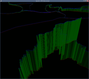
[1] I had plans to make a map and even wrote a crappy and very basic OpenGL application that displays the tracklogs in 3D... I even thought about having a wiki-like map-making community and how cool that would be. Never got around doing the real work for a project that big, of course. Now here it is :)
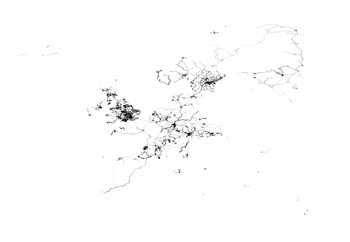
I recently wrote a simple c program to plot nodes of planet.osm into an image:
