User talk:Rainer042
Jump to navigation
Jump to search
Symbol legend available for map usage ?
Hello,
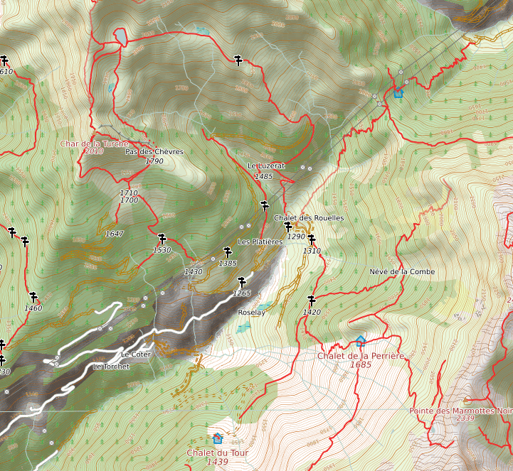
for hiking I started using OpenHikingMap. However I wonder what some of the symbols in this map mean and up to now I was unable to find a complete legend. Look eg at the map tile in this link
http://wiki.openstreetmap.org/w/images/2/2d/Demo-openhikingmap.png
What is the meaning of the unfilled brown double line with intersections visible in the upper left side of the png? What do red lines and white lines stand for? Is there a legend somewhere, that explains the symbols? Of course lines are probably ways or streets etc but which colour and contour stands for what kind of street/path?
Thanks a lot Rainer