2023 Libya Floods
| General Information | ||||||||||||||||||
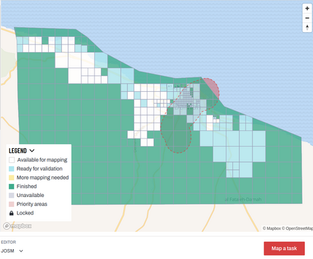
LIBYA FLOODS (STORM DANIEL) In response to the devastating impact of Storm Daniel in northeastern Libya, this project aims to provide crucial mapping support for disaster relief and recovery efforts in the affected areas. The storm, which made landfall on September 10, 2023, has caused widespread destruction, including heavy rainfall, flash floods, and significant damage to infrastructure and communities in several municipalities in the region. The affected municipalities include Albayda, Almarj, Al Owailia, Albayda, Benghazi, Derna, Shahhat, Sousa, Taknes, Talmeitha, Tobruk, and Toukra. To see the combined extents of the Tasking Manager projects, view this web map. | ||||||||||||||||||
For Aid Organizations
Map and Data Services

Where can you find the data?
See Downloading data for instructions on getting large scale map data, or see the focused exports below:
- OpenStreetMap data for Libya is available on the Humanitarian Data Exchange (HDX) and is updated every six hours - find the latest here.
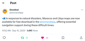
- The team behind OSMAnd have announced that Libya (and Morocco) maps are now available for free to download within the app - see the announcement here.
- This overpass query for 'Damage data' for Dernah covers the following tags: destroyed:highway=* | destroyed:building=* | destroyed:bridge=*
Using OSM data on mobile

The team behind OSMAnd has also made maps of Morocco and Libya freely downloadable to support teams in the field.
About OpenStreetMap
OpenStreetMap offers an online map (and spatial database) which is updated by the minute. Various tools and services allow data extracts for GIS specialists, Routable Garmin GPS data, Smartphone GPS navigation, and other device-compatible downloads. With an internet connection, regular syncing is possible with open access to the community contributed data as it comes in, with OpenStreetMap's bulk data downloads ideal for use offline. In addition, maps can also be printed to paper. Different map styles including an Humanitarian style can be selected on the right side, and some data may not render (appear) on the map, but could be exported from the underlying database (See export section below).
Exporting OpenStreetMap data
See Downloading data for instructions on getting large scale map data, or see the focused exports below:
- A custom export is available on the HOT Export Tool
- Regularly updated OpenStreetMap exports are available on the Humanitarian Data eXchange (HDX)
Mapping with Post Flood Imagery
OpenStreetMap contributors have been adding 'damage' and 'destroyed' tags to buildings and roads in Libya using post-flood satellite imagery (see post-flood Maxar imagery on OpenAerialMap). Thus far this has not been coordinated through HOT's Tasking Manager (instructions do not mention adding damage or destroyed tags). Use this Overpass query to see 'destroyed' tags across Libya: https://overpass-turbo.eu/s/1ANG
Use this Overpass query to show all buildings marked as destroyed or damaged and building=* (i.e. not damaged) in the zoomed area, this will give you an idea of the 'baseline' pre-event structures: https://overpass-turbo.eu/s/1B5z
- See Key:destroyed:*
- See Key:damage:*
Accessing MapSwipe Data
MapSwipe employs the contributions of volunteers to geospatial data projects. Volunteers can find, compare, or validate data. In so doing, partners are better equipped and informed to support communities globally, particularly as all MapSwipe data are opensource. This Libya floods building identification project is in collaboration with MapAction, providing a map of buildings that other settlement data sets can be compared against. Data can be downloaded in various formats from this page: https://mapswipe.org/en/projects/-Neo4oUxRUUNrAPxBVnx/.
About This Disaster Activation
About HOT

To learn more about the Humanitarian OpenStreetMap Team (HOT), explore more of our wiki-pages (root: HOT) or our website hotosm.org. HOT is a global community, mostly of volunteers, and it is a US registered nonprofit able to contract with organizations (email info at hotosm.org to contact our staff), we are also a 501(c)(3) charitable organization.
History of this Activation
OSM Community Activation
13 Sept, 2023 - Following the event, members of OSM Libya and staff from HOT agreed to launch an activation to support response efforts. Conversations with OSM Libya around the damage caused by the floods (especially the dams in Dernah), priorities for mapping, OSM Libya's capacity to coordinate and engage, and the technical aspects of Tasking Manager projects happened on a call.
Coordination
- Lead(s):
- ABDURAHMAN AL FURJANI (Coordination Lead)
- Pete Masters (HOT Activation Lead)
- Geoffrey Kateregga (HOT Tasking Manager support)
Activation conclusion
This activation is now concluded. Debrief and after action review can be found on this OSM diary
Data Quality
All contributions through HOT's Tasking Manager are tracked with a unique changeset comment tag: #LibyaFloods2023.
Validation
Validation permissions for Tasking Manager projects are restricted to particular Tasking Manager Teams / users to ensure high quality validation:
OSMCha - A specific OSMCha filter can be used to detect data quality issues across a wider area.
For Mappers
How You Can Contribute
Learn to Map
- Most of our volunteer needs are for remote OSM contributors, visit LearnOSM.org to get started.
- Add additional guidance for tagging in the DMP/Activation area here...
Mapping Priority
- Please choose from highest priority first
- Experienced mappers are also asked to participate in validating completed tasks. Information on validating can be found here
| Project | Priority | Name | What to map | Imagery Source | Task Mapping Status % | Task Validation Status % |
|---|---|---|---|---|---|---|
| ACTIVATION PROJECTS | ||||||
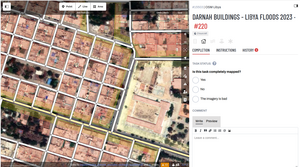
| 15503 | Archived | Darnah Buildings - Libya Floods 2023 | Buildings | Maxar (custom) | 100 | 100 |
| 15505 | Archived | Darnah Roads - Libya Floods 2023 | Roads | Maxar (custom) | 100 | 100 |
| 15527 | Archived | Susah Buildings - Libya Floods 2023 | Buildings | Maxar (custom) | 100 | 100 |
| 15528 | Archived | Susah Roads - Libya Floods 2023 | Roads | Maxar (custom) | 100 | 100 |
| 15550 | Urgent | Bayda Buildings - Libya Floods 2023 | Buildings | Maxar (custom) | 100 | 100 |
| 15553 | Archived | Bayda Roads - Libya Floods 2023 | Roads | Maxar (custom) | 100 | 100 |
| 15565 | Urgent | AlMarj Buildings - Libya Floods 2023 | Buildings | Bing | 100 | 97 |
Community Mapathons
| Date | Time | Lead Community | Country | Location/ Meeting Link/ Registration Link | Type | Status | Notes | Social Media Post |
|---|---|---|---|---|---|---|---|---|
| 2023-09-23 | 18:00 GMT+2 | OSM Libya | Libya and online | https://univ-lille-fr.zoom.us/meeting/register/tJ0ofu-gpj8rHNJ0E6IP5aAfnym_wCxQeieA#/registration | In-person and online | Done | twitter.com | |
| 2023-10-10 | 09:00 UTC | HOT | Virtual | https://osmcal.org/event/2369/ | Online only |
MapSwipe campaign
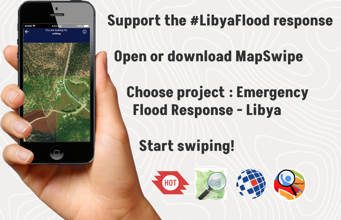
A MapSwipe campaign was launched on 20 September 2023 to pin down building locations for accurate field assessments from MapAction in their Libya response.
This Umap shows the MapSwipe campaign geographic coverage and status. Contributors are asked to tap image tiles where they see buildings. Missions 1 and 2 in this campaign utilize Esri World Imagery at zoom level 17. Missions 3 and 4 utilize Bing imagery at zoom level 18. All missions have been set with a 'verification number' of 3. This means that 3 people need to see every image tile before it is considered finished or 'fully swiped'. To access the MapSwipe data outputs search for Libya in the 'Explore the data' section of the MapSwipe website data page.

