AND Data/Import Marc
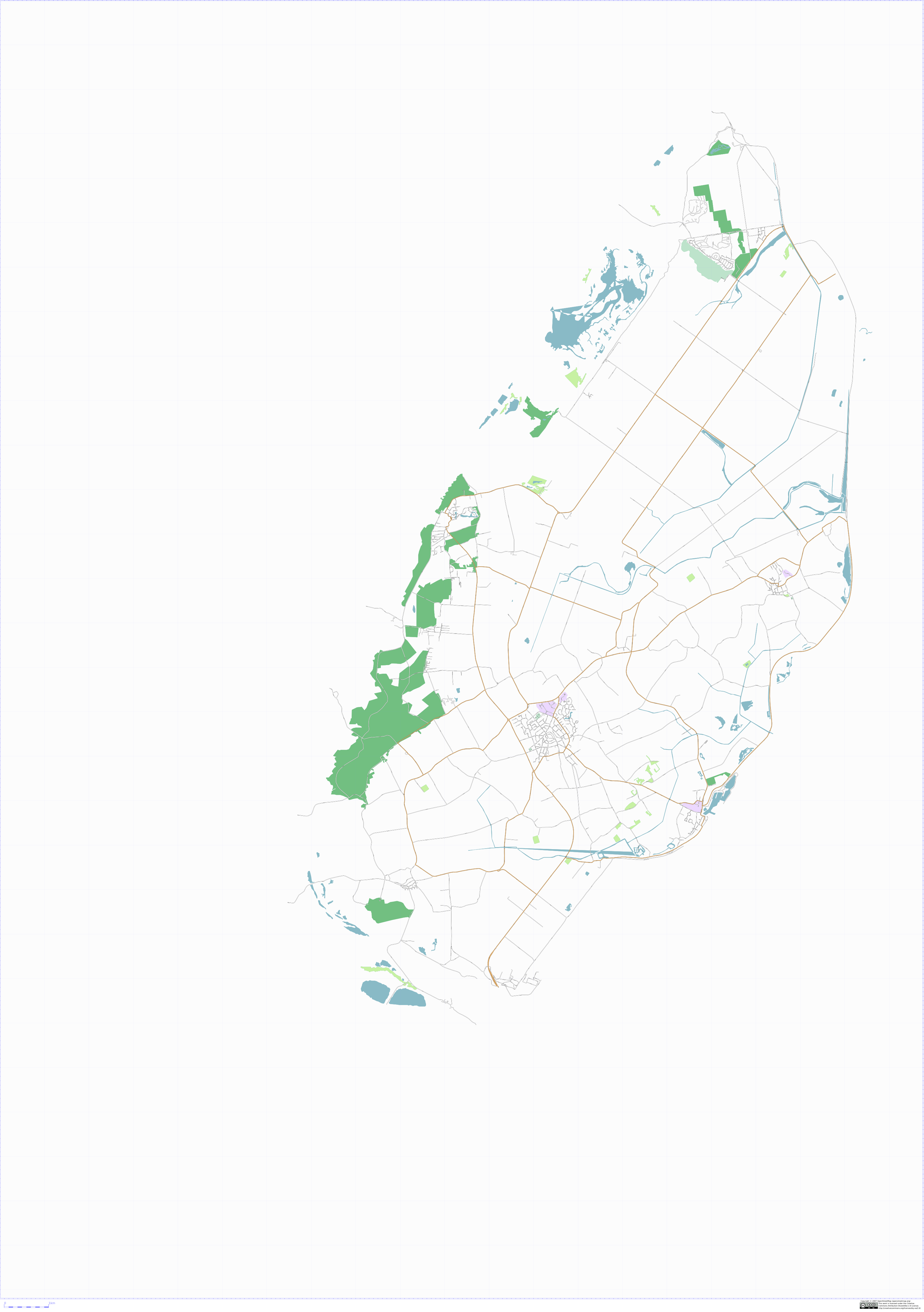
This conversion routine has been based on shapelib. A first result containg all data from Texel (sample data provided by AND), exlcuding files admin0, admin1 and 001_o (country border, province border and ocean border), can be found here: texel2.pdf or as image:

getting the source code
the latest version can now be found in svn:
svn.openstreetmap.org/applications/utils/import/and2osm
compiling
then run:
$ make
this will result in an executable 2AND. if it does not compile, you probably don't have shapelib installed.
using
run 2AND in the folder containing the AND data. On my pc, (AMD64, 3200+ with 2 GB ram) it takes about 7 minutes to process the complete dataset. Especially the amount of memory is relevant, since the program stores all nodes, segments and ways in memory. It consumes about 1.431.296.000 Bytes of memory (on a 64 bit system, could be a bit less on a 32 bit system).
please feel free to adjust this program! send patches to Marc osm at kessels dot name.
still to do
short term (in random order):
- split a way if it is a bridge and starts/stops at a junction.
- duplicate nodes in AND data
- example:
       <node id="-25" lat="51.06069" lon="5.86275" >
       <tag k="external-ID" v="AND=10020749" />
       <tag k="railway" v="station" />
       <tag k="name" v="Susteren" />
       <tag k="external-ID" v="AND=10000028" />
       <tag k="railway" v="station" />
       <tag k="name" v="Susteren" />
               <tag k="source" v="AND" />
               <tag k="source-ref" v="www.and.com" />
       </node>
- area's having a node-id in AND data,
- merging ways having the same tags (exluding branching ways)
- put housenumbers in the data (conflicts with the previous)
longer term
- reduce memory consumption