File:Blankenberge 36 12 kV sign.jpg
Jump to navigation
Jump to search


Size of this preview: 800 × 450 pixels. Other resolutions: 320 × 180 pixels | 640 × 360 pixels | 1,024 × 576 pixels | 1,280 × 720 pixels | 2,560 × 1,440 pixels | 3,840 × 2,160 pixels.
Original file (3,840 × 2,160 pixels, file size: 1.98 MB, MIME type: image/jpeg)
Summary
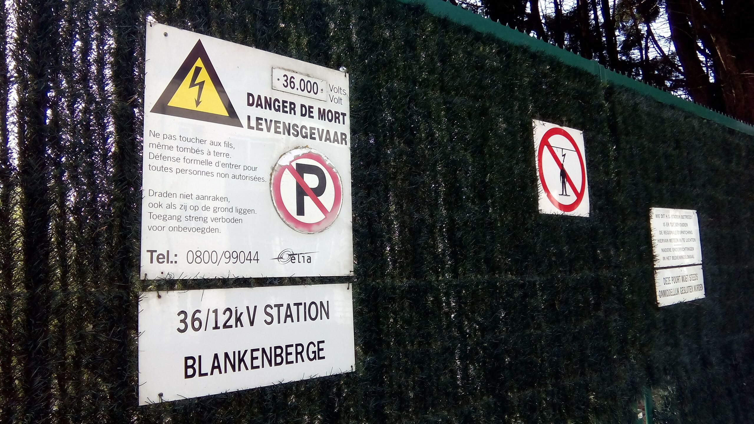
Access gate to Blankenberge substation at https://www.openstreetmap.org/?mlat=51.31491&mlon=3.13568
Licensing
![]()
![]()
![]()
This work is licensed under the Creative Commons Attribution-ShareAlike 4.0 License.
Attribution not specified as a parameter! THIS LICENSE ALWAYS REQUIRES ATTRIBUTION! Use {{CC-BY-SA-4.0|Attribution, typically name of author}} See Template:CC-BY-SA-4.0 for full description this template should be used.
Attribution not specified as a parameter! THIS LICENSE ALWAYS REQUIRES ATTRIBUTION! Use {{CC-BY-SA-4.0|Attribution, typically name of author}} See Template:CC-BY-SA-4.0 for full description this template should be used.
File history
Click on a date/time to view the file as it appeared at that time.
| Date/Time | Thumbnail | Dimensions | User | Comment | |
|---|---|---|---|---|---|
| current | 22:57, 31 January 2019 | | 3,840 × 2,160 (1.98 MB) | M!dgard (talk | contribs) | Access gate to Blankenberge substation at https://www.openstreetmap.org/?mlat=51.31491&mlon=3.13568 |
You cannot overwrite this file.
File usage
The following page uses this file: