File:Boating restrictions.jpg
Jump to navigation
Jump to search

Size of this preview: 600 × 600 pixels. Other resolutions: 240 × 240 pixels | 623 × 623 pixels.
Original file (623 × 623 pixels, file size: 116 KB, MIME type: image/jpeg)
Summary
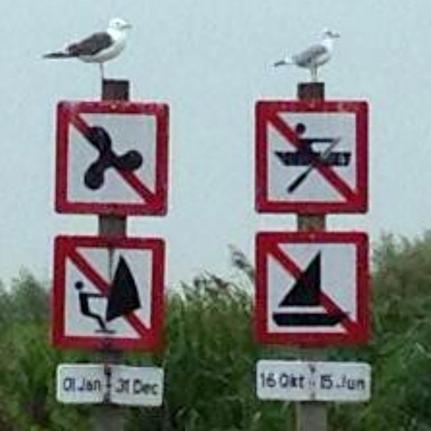
Different restrictions for different types of boat.
From image at from Mapillary, user @ gott_snack : https://www.mapillary.com/app/?pKey=761528471215018
Location: Maasland, the Netherlands
Licensing
![]()
![]()
![]()
This work is licensed under the Creative Commons Attribution-ShareAlike 4.0 License.
Attribution: gott_snack
Attribution: gott_snack
![]()
This file comes from Mapillary, a service for sharing geotagged photos. All photos are under a CC BY-SA 4.0 license meaning the individual photographer must be credited for each image.
This template does not indicate the copyright status of the attached work. A normal copyright template is still required, typically it will be {{CC-BY-SA-4.0|HERE PUT NAME OF IMAGE AUTHOR}}.
This template does not indicate the copyright status of the attached work. A normal copyright template is still required, typically it will be {{CC-BY-SA-4.0|HERE PUT NAME OF IMAGE AUTHOR}}.
File history
Click on a date/time to view the file as it appeared at that time.
| Date/Time | Thumbnail | Dimensions | User | Comment | |
|---|---|---|---|---|---|
| current | 11:36, 28 June 2020 | | 623 × 623 (116 KB) | Multimodaal (talk | contribs) | Different restrictions for different types of boat. From image at from Mapillary, user @ gott_snack https://www.mapillary.com/map/im/KW-waTZdDEFZMbVsS-FPVw Location: Maasland, the Netherlands |
You cannot overwrite this file.
File usage
The following 4 pages use this file: