File:BonnTopoKarte.png
Jump to navigation
Jump to search

No higher resolution available.
BonnTopoKarte.png (320 × 200 pixels, file size: 177 KB, MIME type: image/png)
Summary
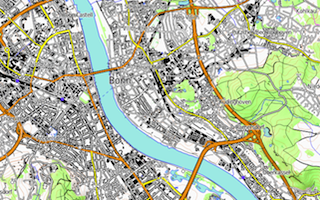
Bonn auf der topologischen Karte
Licensing
| Contains map data © OpenStreetMap contributors, made available under the terms of the Open Database License (ODbL).
The ODbL does not require any particular license for maps produced from ODbL data, produced maps may be subject also to other licences. |
File history
Click on a date/time to view the file as it appeared at that time.
| Date/Time | Thumbnail | Dimensions | User | Comment | |
|---|---|---|---|---|---|
| current | 06:44, 17 March 2013 | | 320 × 200 (177 KB) | User 5359 (talk | contribs) | Bonn auf topologischer Karte |
| 06:17, 17 March 2013 | 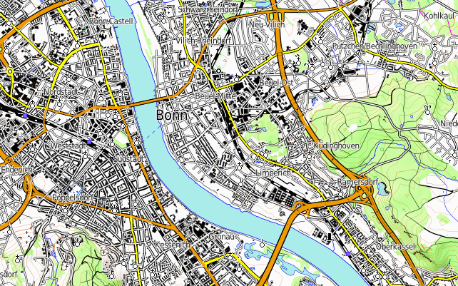 | 642 × 401 (500 KB) | User 5359 (talk | contribs) | Bonn auf der topologischen Karte |
You cannot overwrite this file.
File usage
The following page uses this file: