File:Building footprint and details.png
Building_footprint_and_details.png (544 × 517 pixels, file size: 581 KB, MIME type: image/png)
license of imagery is unknown
![]()
Files without licences marked with this template are listed in Category:Media without a license or one of its subcategories. If the file is without a known open licence: ask its uploader to clarify situation or find a replacement and mark this file with {{Superseded by Commons}} and replace its uses.
If uploader was notified this month: use {{No licence|subcategory=uploader notified 2024, April}} - to put media into Category:Media without a license - uploader notified 2024, April and mark image as one where uploader was notified.
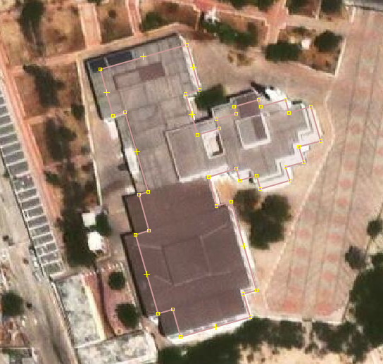
Summary
| Description | Map the building footprint at the exact footprint on the ground |
|---|---|
| Author | unknown |
| Source | unknown |
| Date | unknown |
Licensing
![]()
Please, please use more specific template such as {{PD-self}} / {{PD-creator}} / {{PD-shape}} / {{PD-USGov}} / {{PD-old}} / {{PD-RU-exempt}} ... This template is not making clear why this work is in the public domain.
![]()
![]()
![]()
Files without licences marked with this template are listed in Category:Media without a license or one of its subcategories. If the file is without a known open licence: ask its uploader to clarify situation or find a replacement and mark this file with {{Superseded by Commons}} and replace its uses.
If uploader was notified this month: use {{No licence|subcategory=uploader notified 2024, April}} - to put media into Category:Media without a license - uploader notified 2024, April and mark image as one where uploader was notified.
| Contains map data © OpenStreetMap contributors, made available under the terms of the Open Database License (ODbL).
The ODbL does not require any particular license for maps produced from ODbL data, produced maps may be subject also to other licences. |
File history
Click on a date/time to view the file as it appeared at that time.
| Date/Time | Thumbnail | Dimensions | User | Comment | |
|---|---|---|---|---|---|
| current | 10:41, 7 May 2021 | | 544 × 517 (581 KB) | Michael Montani (talk | contribs) | Map the building footprint at the exact footprint on the ground |
You cannot overwrite this file.
File usage
There are no pages that use this file.