File:CAPT emprise-micro-carto AptOuest.JPG
Jump to navigation
Jump to search

Size of this preview: 800 × 548 pixels. Other resolutions: 320 × 219 pixels | 640 × 438 pixels | 1,024 × 702 pixels | 1,359 × 931 pixels.
Original file (1,359 × 931 pixels, file size: 198 KB, MIME type: image/jpeg)
Summary
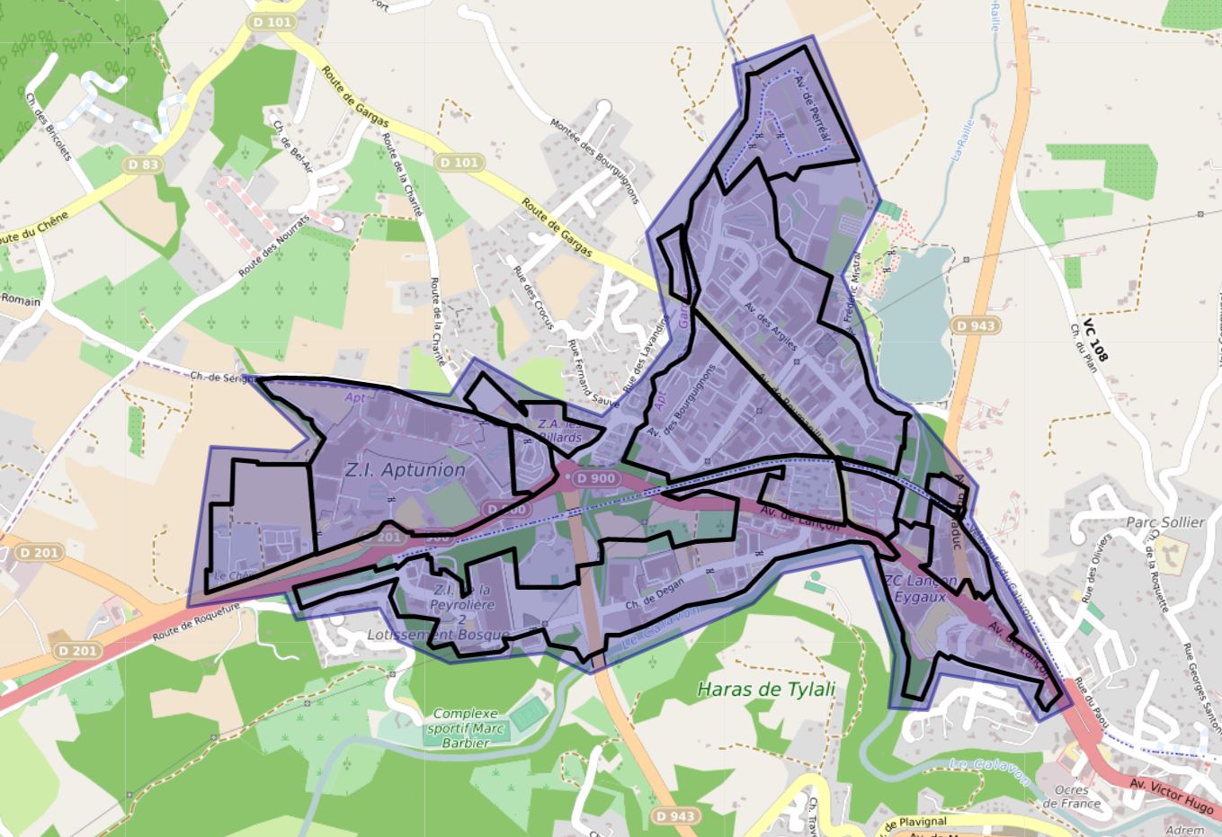
Emprise de la ZAE sur Apt ouest faisant l'objet du projet de micro-cartographie lors des Datadays2020.
Licensing
![]()
![]()
This work is licensed under the Creative Commons Attribution 4.0 License.
| Contains map data © OpenStreetMap contributors, made available under the terms of the Open Database License (ODbL).
The ODbL does not require any particular license for maps produced from ODbL data, produced maps may be subject also to other licences. |
File history
Click on a date/time to view the file as it appeared at that time.
| Date/Time | Thumbnail | Dimensions | User | Comment | |
|---|---|---|---|---|---|
| current | 18:18, 7 September 2021 | | 1,359 × 931 (198 KB) | J-Louis ZIMMERMANN (talk | contribs) | Emprise de la ZAE sur Apt ouest faisant l'objet du projet de micro-cartographie lors des Datadays2020. |
| 16:36, 7 September 2021 |  | 1,121 × 872 (163 KB) | J-Louis ZIMMERMANN (talk | contribs) | Emprise de la ZAR sur Apt ouest faisant l'objet du projet de micro-cartographie lors des Datadays2020. |
You cannot overwrite this file.
File usage
The following page uses this file: