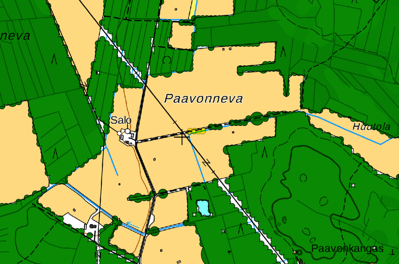
File:Clustered Forests.png
Jump to navigation
Jump to search

Size of this preview: 800 × 530 pixels. Other resolutions: 320 × 212 pixels | 640 × 424 pixels | 1,154 × 765 pixels.
Original file (1,154 × 765 pixels, file size: 430 KB, MIME type: image/png)
Clustered Forests Self-made-image, that part of work is CC0-licensed
Include data from National Land Survey of Finland (CC-BY-4.0) and OpenStreetMap ODBL
![]()
![]()
This work is licensed under the Creative Commons Attribution 4.0 License.
Attribution: National Land Survey of Finland
Attribution: National Land Survey of Finland
| Contains map data © OpenStreetMap contributors, made available under the terms of the Open Database License (ODbL).
The ODbL does not require any particular license for maps produced from ODbL data, produced maps may be subject also to other licences. |
File history
Click on a date/time to view the file as it appeared at that time.
| Date/Time | Thumbnail | Dimensions | User | Comment | |
|---|---|---|---|---|---|
| current | 14:04, 16 July 2019 | | 1,154 × 765 (430 KB) | Posiki (talk | contribs) |
You cannot overwrite this file.
File usage
The following page uses this file: