File:Faciliteiten.png
Jump to navigation
Jump to search


Size of this preview: 800 × 545 pixels. Other resolutions: 320 × 218 pixels | 640 × 436 pixels | 1,024 × 698 pixels | 1,280 × 873 pixels | 2,527 × 1,723 pixels.
Original file (2,527 × 1,723 pixels, file size: 5.43 MB, MIME type: image/png)
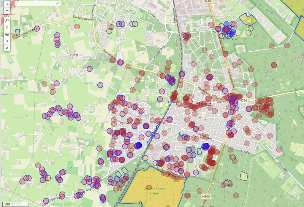
Plot faciliteiten op de kaart
| Contains map data © OpenStreetMap contributors, made available under the terms of the Open Database License (ODbL).
The ODbL does not require any particular license for maps produced from ODbL data, produced maps may be subject also to other licences. |
File history
Click on a date/time to view the file as it appeared at that time.
| Date/Time | Thumbnail | Dimensions | User | Comment | |
|---|---|---|---|---|---|
| current | 08:02, 15 September 2021 | | 2,527 × 1,723 (5.43 MB) | Tritter (talk | contribs) |
You cannot overwrite this file.
File usage
The following page uses this file: