File:Fugro tileserver.png
Jump to navigation
Jump to search

Size of this preview: 682 × 600 pixels. Other resolutions: 273 × 240 pixels | 546 × 480 pixels | 748 × 658 pixels.
Original file (748 × 658 pixels, file size: 669 KB, MIME type: image/png)
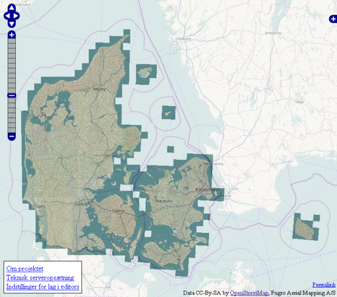
This image is a screendump from the tileserver, where it is possible to see the extent for the aerial photos shared by privat company Fugro. Link to map
File history
Click on a date/time to view the file as it appeared at that time.
| Date/Time | Thumbnail | Dimensions | User | Comment | |
|---|---|---|---|---|---|
| current | 02:32, 26 January 2011 | | 748 × 658 (669 KB) | Soeren gasch (talk | contribs) | New map image narrowed image |
| 09:15, 10 January 2011 | 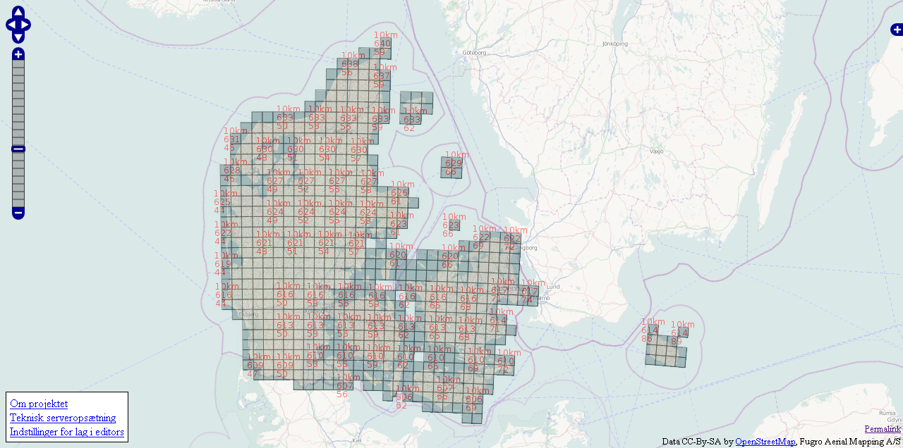 | 1,280 × 636 (673 KB) | Winbladh (talk | contribs) | This image is a screendump from the tileserver, where it is possible to see the extent for the aerial photos shared by privat company Fugro. |
You cannot overwrite this file.