File:Historical Coverage Europe.gif
Jump to navigation
Jump to search

No higher resolution available.
Historical_Coverage_Europe.gif (640 × 490 pixels, file size: 218 KB, MIME type: image/gif, 9 frames, 9.0 s)
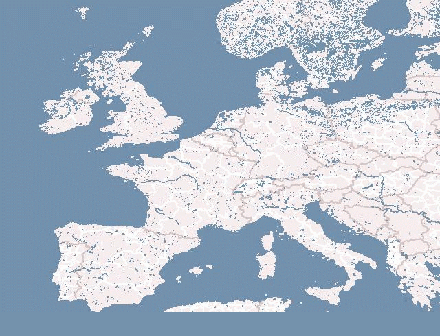
Historical Coverage - generated with using vmap0 and OSM data
Licensing
Geofabrik OSM History tool was released in Public domain by Frederik Ramm.
![]()
Contains map data © OpenStreetMap contributors, made available under the terms of the Creative Commons Attribution-ShareAlike 2.0 (CC-BY-SA-2.0).
File history
Click on a date/time to view the file as it appeared at that time.
| Date/Time | Thumbnail | Dimensions | User | Comment | |
|---|---|---|---|---|---|
| current | 12:05, 2 August 2007 | | 640 × 490 (218 KB) | Frederik Ramm (talk | contribs) | generated using vmap0 and OSM data |
You cannot overwrite this file.
File usage
The following page uses this file: