File:Hull.png
Jump to navigation
Jump to search

No higher resolution available.
Hull.png (500 × 500 pixels, file size: 147 KB, MIME type: image/png)
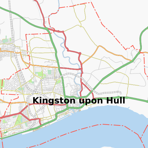
Map image on 22/03/08 of Kingston upon Hull
Licensing
![]()
Contains map data © OpenStreetMap contributors, made available under the terms of the Creative Commons Attribution-ShareAlike 2.0 (CC-BY-SA-2.0).
File history
Click on a date/time to view the file as it appeared at that time.
| Date/Time | Thumbnail | Dimensions | User | Comment | |
|---|---|---|---|---|---|
| current | 16:43, 22 March 2008 | | 500 × 500 (147 KB) | Chillly (talk | contribs) | Kingston Upon Hull on 22/03/08 |
| 16:39, 22 March 2008 | 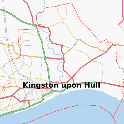 | 500 × 500 (103 KB) | Chillly (talk | contribs) | ||
| 12:19, 22 January 2008 | 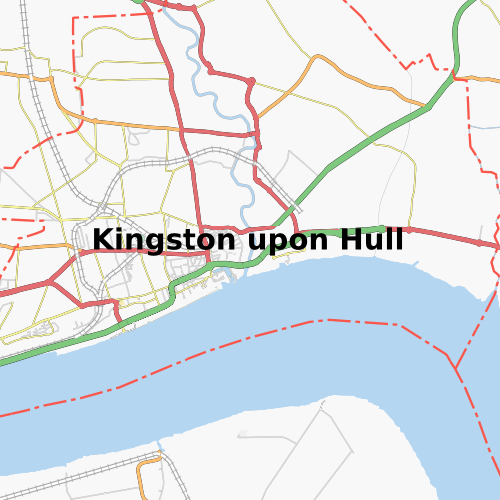 | 500 × 500 (112 KB) | Chillly (talk | contribs) | ||
| 12:15, 16 October 2007 |  | 500 × 500 (103 KB) | Chillly (talk | contribs) | Map image on 16/10/07 of Kingston upon Hull |
You cannot overwrite this file.
File usage
There are no pages that use this file.