File:India OpenStreetMap data loading in QGIS.gif
Jump to navigation
Jump to search


Size of this preview: 643 × 599 pixels. Other resolutions: 258 × 240 pixels | 515 × 480 pixels | 733 × 683 pixels.
Original file (733 × 683 pixels, file size: 11.72 MB, MIME type: image/gif, looped, 98 frames, 51 s)
Note: Due to technical limitations, thumbnails of high resolution GIF images such as this one will not be animated.
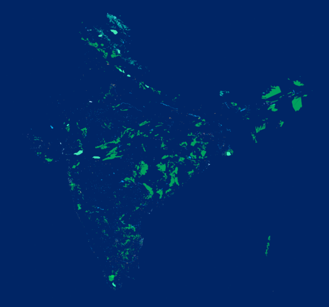
Animation showing the loading of OpenStreetMap data shapefiles of India from Geofabrik in QGIS
Licensing
| Contains map data © OpenStreetMap contributors, made available under the terms of the Open Database License (ODbL).
The ODbL does not require any particular license for maps produced from ODbL data, produced maps may be subject also to other licences. |
File history
Click on a date/time to view the file as it appeared at that time.
| Date/Time | Thumbnail | Dimensions | User | Comment | |
|---|---|---|---|---|---|
| current | 18:10, 10 November 2018 | | 733 × 683 (11.72 MB) | Planemad (talk | contribs) |
You cannot overwrite this file.
File usage
The following file is a duplicate of this file (more details):
- File:India OpenStreetMap data loading in QGIS.gif from Wikimedia Commons
There are no pages that use this file.