File:Karaikudi mapping.gif
Jump to navigation
Jump to search

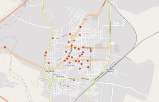
Size of this preview: 800 × 515 pixels. Other resolutions: 320 × 206 pixels | 640 × 412 pixels | 1,047 × 674 pixels.
Original file (1,047 × 674 pixels, file size: 1.14 MB, MIME type: image/gif, looped, 13 frames, 11 s)
Summary
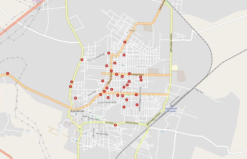
A short timelapse of armchair mapping improvements in a day around Karaikudi town, India
Licensing
![]()
![]()
This screenshot contains OpenStreetMap Carto rendering.
The OpenStreetMap Carto map style is made available under the Creative Commons CC-0 1.0 Universal Public Domain Dedication.
- Attribution to the map data:
| Contains map data © OpenStreetMap contributors, made available under the terms of the Open Database License (ODbL).
The ODbL does not require any particular license for maps produced from ODbL data, produced maps may be subject also to other licences. |
File history
Click on a date/time to view the file as it appeared at that time.
| Date/Time | Thumbnail | Dimensions | User | Comment | |
|---|---|---|---|---|---|
| current | 04:44, 17 August 2021 | | 1,047 × 674 (1.14 MB) | Planemad (talk | contribs) | A short timelapse of armchair mapping improvements in a day around Karaikudi town, India |
You cannot overwrite this file.
File usage
There are no pages that use this file.