File:Knooppuntnet Kartenbereich.png
Jump to navigation
Jump to search


Size of this preview: 800 × 452 pixels. Other resolutions: 320 × 181 pixels | 640 × 362 pixels | 1,024 × 579 pixels | 1,380 × 780 pixels.
Original file (1,380 × 780 pixels, file size: 671 KB, MIME type: image/png)
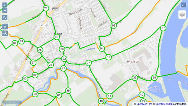
Kartenbereich des Routenplaners von Knooppuntnet
| Contains map data © OpenStreetMap contributors, made available under the terms of the Open Database License (ODbL).
The ODbL does not require any particular license for maps produced from ODbL data, produced maps may be subject also to other licences. |
File history
Click on a date/time to view the file as it appeared at that time.
| Date/Time | Thumbnail | Dimensions | User | Comment | |
|---|---|---|---|---|---|
| current | 10:07, 8 October 2022 | | 1,380 × 780 (671 KB) | Henry572 (talk | contribs) |
You cannot overwrite this file.
File usage
The following page uses this file: