File:Map29.jpg
Map29.jpg (668 × 500 pixels, file size: 166 KB, MIME type: image/jpeg)
Summary
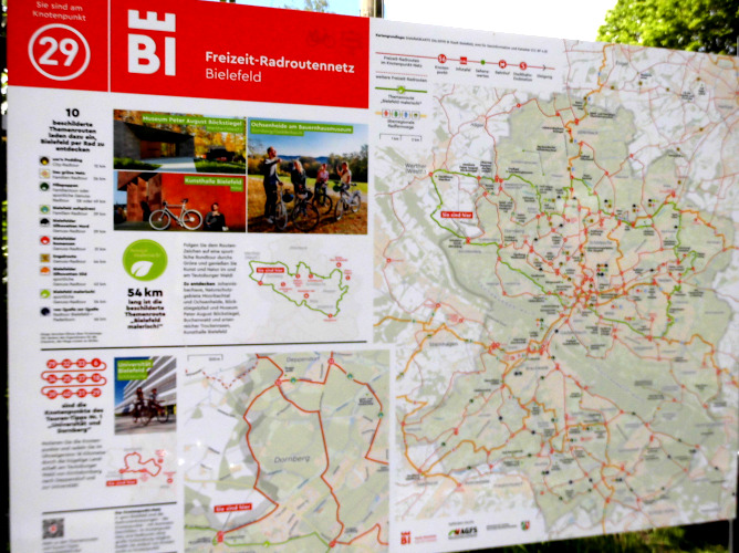
Beispiel einer Infotafel im Knotenpunktnetzwerk des Radverkehrsnetzes NRW, Knoten 29 in Bielefeld. Enthalten sind: Touristische Informationen zu einer benannten Themenroute, sowie zu einem Routenvorschlag über nummerierte Knotenpunkte, sowie eine Übersichtskarte des Knotenpunktnetzwerkes Bielefeld.
License
- This media file was uploaded by author of the work and its copyright holder.
![]()
![]()
The person who associated a work with this deed has dedicated the work to the public domain by waiving all of his or her rights to the work worldwide under copyright law, including all related and neighboring rights, to the extent allowed by law. You can copy, modify, distribute and perform the work, even for commercial purposes, all without asking permission.
File history
Click on a date/time to view the file as it appeared at that time.
| Date/Time | Thumbnail | Dimensions | User | Comment | |
|---|---|---|---|---|---|
| current | 17:03, 19 November 2021 | | 668 × 500 (166 KB) | Segubi (talk | contribs) | Anderes Bild mit mehr Features der Karten verwendet. |
| 21:43, 22 May 2021 | 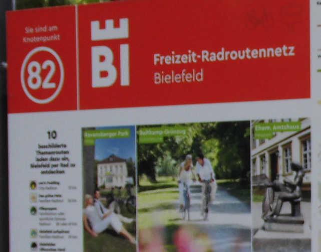 | 641 × 502 (41 KB) | Segubi (talk | contribs) | Beispiel einer Infotafel im Knotenpunktnetzwerk des Radverkehrsnetzes NRW, Knoten 82 in Bielefeld. (Ausschnitt) |
You cannot overwrite this file.
File usage
The following 2 pages use this file: