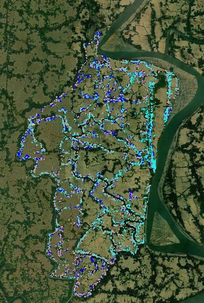
File:Mapping Hydrological Features in Polder 43-2B.jpg
Jump to navigation
Jump to search

Size of this preview: 404 × 600 pixels. Other resolutions: 162 × 240 pixels | 576 × 855 pixels.
Original file (576 × 855 pixels, file size: 133 KB, MIME type: image/jpeg)
Mapping Hydrological Features in Polder 43/2B
File history
Click on a date/time to view the file as it appeared at that time.
| Date/Time | Thumbnail | Dimensions | User | Comment | |
|---|---|---|---|---|---|
| current | 08:29, 1 February 2019 | | 576 × 855 (133 KB) | Sawan Shariar (talk | contribs) |
You cannot overwrite this file.
File usage
The following 2 pages use this file: