File:Mashhad History 2008-2011.gif
Jump to navigation
Jump to search

No higher resolution available.
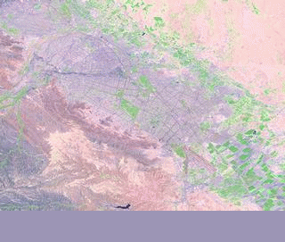
Mashhad_History_2008-2011.gif (320 × 271 pixels, file size: 122 KB, MIME type: image/gif, looped, 85 frames, 1 min 25 s)
Mashhad map history based on labs.geofabrik.de
![]()
Contains map data © OpenStreetMap contributors, made available under the terms of the Creative Commons Attribution-ShareAlike 2.0 (CC-BY-SA-2.0).
![]()
![]()
![]()
This work is licensed under the Creative Commons Attribution-ShareAlike 4.0 License.
Attribution: Kesler
Attribution: Kesler
File history
Click on a date/time to view the file as it appeared at that time.
| Date/Time | Thumbnail | Dimensions | User | Comment | |
|---|---|---|---|---|---|
| current | 11:45, 12 July 2011 | | 320 × 271 (122 KB) | Kesler (talk | contribs) | Mashhad map history based on labs.geofabrik.de |
You cannot overwrite this file.
File usage
The following 2 pages use this file: