File:Naya Raipur Capital Complex tracing .gif
Jump to navigation
Jump to search

Size of this preview: 699 × 600 pixels. Other resolutions: 280 × 240 pixels | 559 × 480 pixels | 747 × 641 pixels.
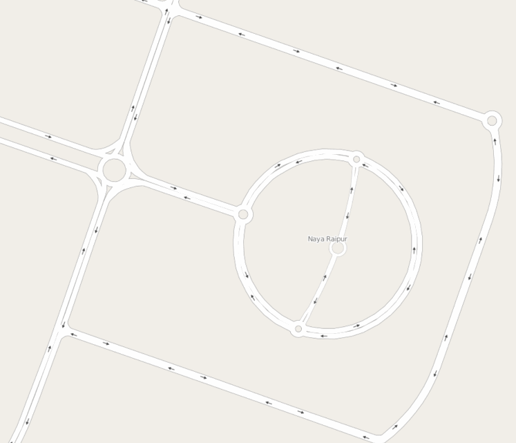
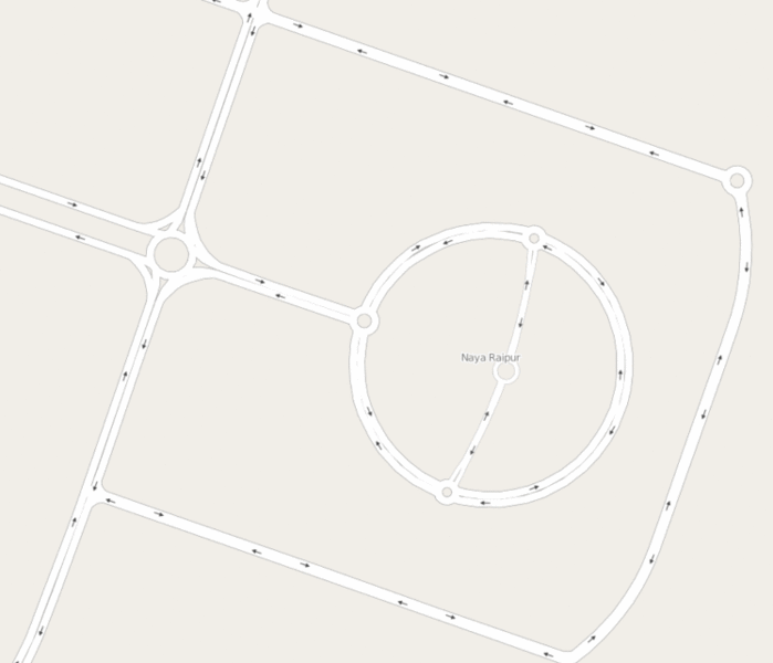
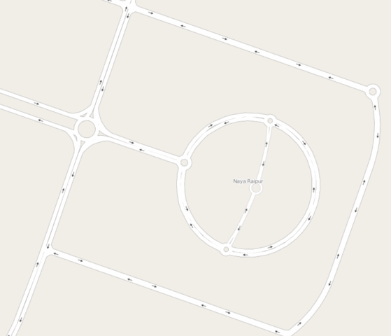
Original file (747 × 641 pixels, file size: 766 KB, MIME type: image/gif, looped, 25 frames, 8.7 s)
Summary
Tracing the Capital Complex area in Naya Raipur, India from Mapbox Satellite imagery.
Licensing
![]()
![]()
This screenshot contains OpenStreetMap Carto rendering.
The OpenStreetMap Carto map style is made available under the Creative Commons CC-0 1.0 Universal Public Domain Dedication.
- Attribution to the map data:
| Contains map data © OpenStreetMap contributors, made available under the terms of the Open Database License (ODbL).
The ODbL does not require any particular license for maps produced from ODbL data, produced maps may be subject also to other licences. |
File history
Click on a date/time to view the file as it appeared at that time.
| Date/Time | Thumbnail | Dimensions | User | Comment | |
|---|---|---|---|---|---|
| current | 19:37, 21 May 2016 | | 747 × 641 (766 KB) | Planemad (talk | contribs) | Tracing the Capital Complex area in Naya Raipur, India from Mapbox Satellite imagery. |
You cannot overwrite this file.
File usage
There are no pages that use this file.