File:Osmarender-copenhagen-04-oct-2006.GIF
Jump to navigation
Jump to search

Size of this preview: 607 × 600 pixels. Other resolutions: 243 × 240 pixels | 486 × 480 pixels | 778 × 768 pixels | 1,037 × 1,024 pixels | 2,073 × 2,048 pixels | 4,000 × 3,951 pixels.
Original file (4,000 × 3,951 pixels, file size: 657 KB, MIME type: image/gif, 0.1 s)
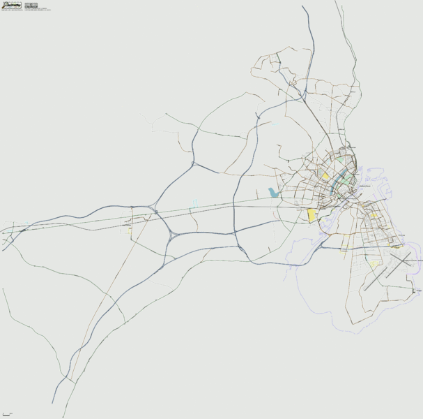
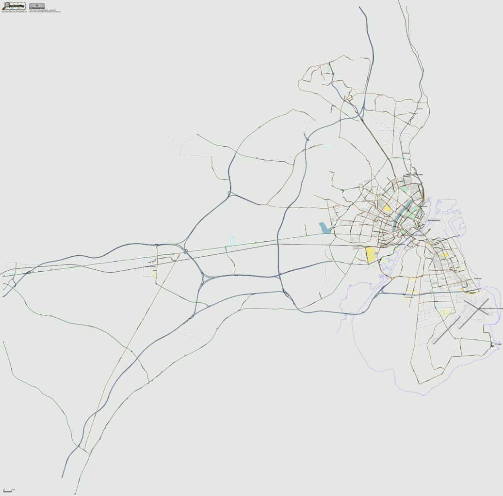
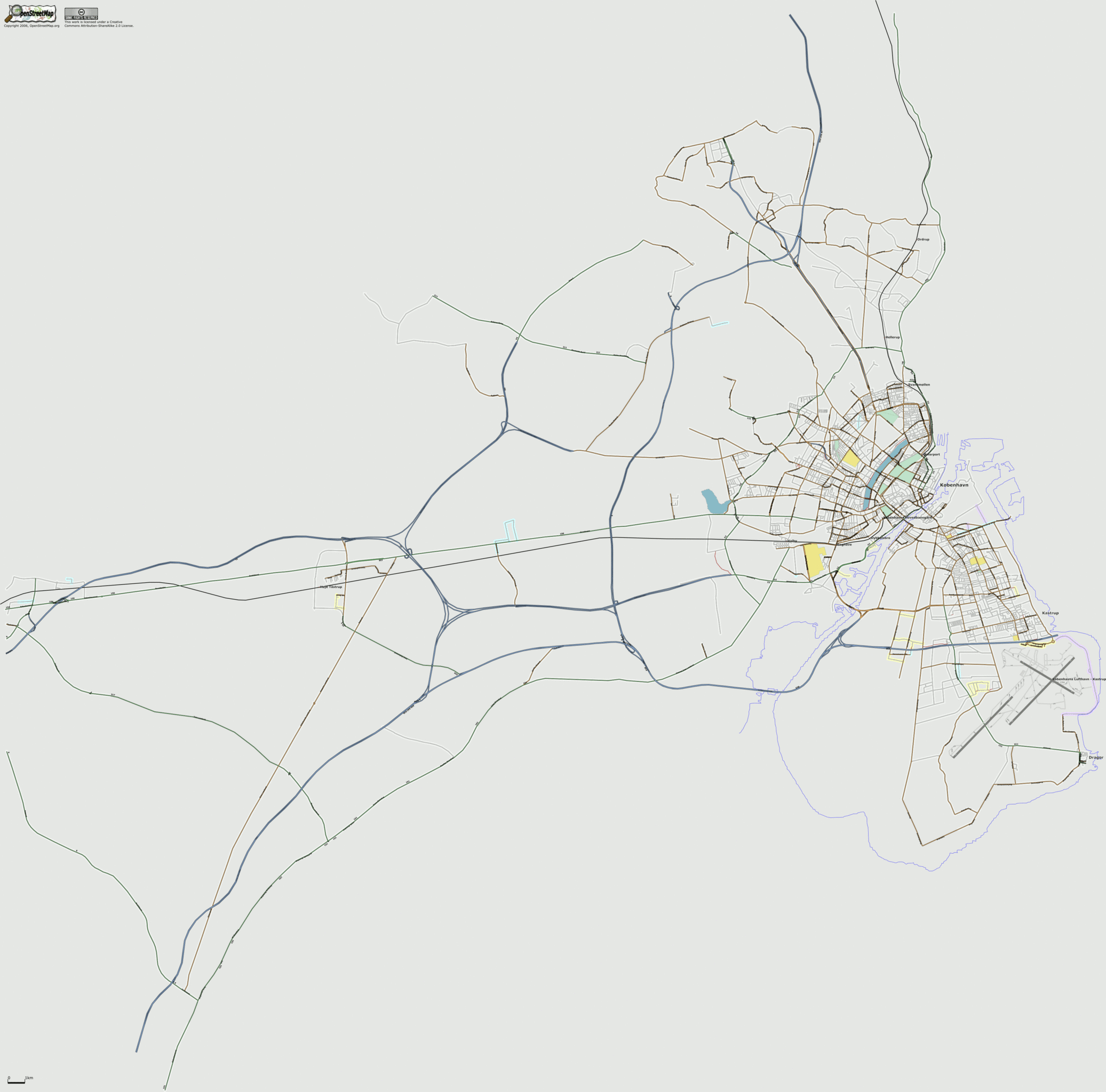
Osmarender of Greater Copenhagen coverage as of 04 October 2006
![]()
Contains map data © OpenStreetMap contributors, made available under the terms of the Creative Commons Attribution-ShareAlike 2.0 (CC-BY-SA-2.0).
File history
Click on a date/time to view the file as it appeared at that time.
| Date/Time | Thumbnail | Dimensions | User | Comment | |
|---|---|---|---|---|---|
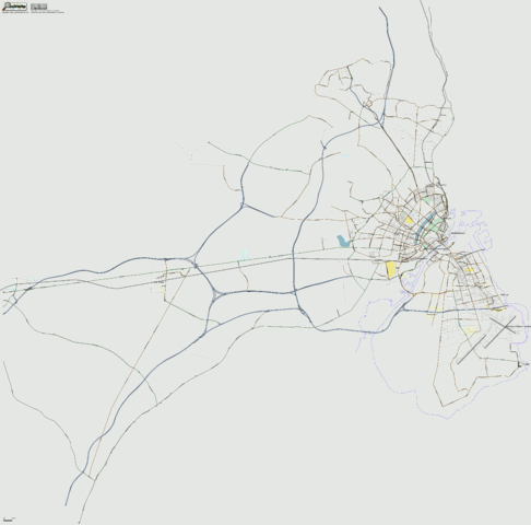
| current | 21:55, 6 October 2006 | | 4,000 × 3,951 (657 KB) | Dutch (talk | contribs) | |
| 17:22, 4 October 2006 |  | 4,000 × 3,951 (657 KB) | Dutch (talk | contribs) | Osmarender of Greater Copenhagen coverage as of 04 october 2006 |
You cannot overwrite this file.
File usage
The following 2 pages use this file: