File:Residential drc mapillary.jpg
Jump to navigation
Jump to search

Size of this preview: 800 × 600 pixels. Other resolutions: 320 × 240 pixels | 640 × 480 pixels | 1,024 × 768 pixels | 1,280 × 960 pixels | 2,048 × 1,536 pixels.
Original file (2,048 × 1,536 pixels, file size: 470 KB, MIME type: image/jpeg)
Summary
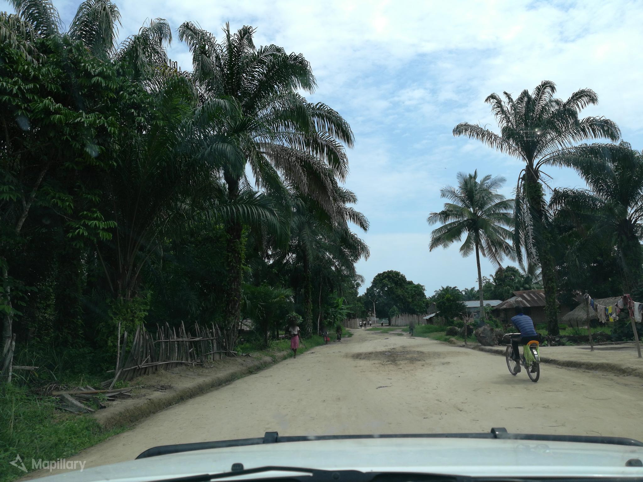
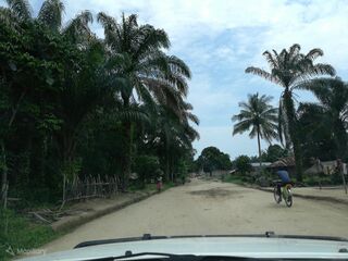
| Description | View of a residential road in Democratic Republic of Congo (DRC). Must be tag with "highway=residential". |
|---|---|
| Author | melly13 on Mapillary |
| Source | Mapillary |
| Date | unknown |
Licensing
![]()
This file comes from Mapillary, a service for sharing geotagged photos. All photos are under a CC BY-SA 4.0 license meaning the individual photographer must be credited for each image.
This template does not indicate the copyright status of the attached work. A normal copyright template is still required, typically it will be {{CC-BY-SA-4.0|HERE PUT NAME OF IMAGE AUTHOR}}.
This template does not indicate the copyright status of the attached work. A normal copyright template is still required, typically it will be {{CC-BY-SA-4.0|HERE PUT NAME OF IMAGE AUTHOR}}.
![]()
![]()
![]()
This work is licensed under the Creative Commons Attribution-ShareAlike 4.0 License.
Attribution: melly13 on Mapillary
Attribution: melly13 on Mapillary
File history
Click on a date/time to view the file as it appeared at that time.
| Date/Time | Thumbnail | Dimensions | User | Comment | |
|---|---|---|---|---|---|
| current | 14:19, 8 April 2020 | | 2,048 × 1,536 (470 KB) | Michael Montani (talk | contribs) | highway=residential in Democratic Republic of the Congo. Mapillary photo by melly13 https://www.mapillary.com/app/?lat=0.7812112000000001&lng=24.269996700002235&z=17&pKey=DNJikEtNd5GP4sJNpvwi2w&focus=photo&x=0.5097584375464693&y=0.5479604495827552&zoom=0 |
You cannot overwrite this file.
File usage
The following page uses this file: