File:The 4C just after the 3km viewpoint.jpg

Original file (4,128 × 3,096 pixels, file size: 1.65 MB, MIME type: image/jpeg)
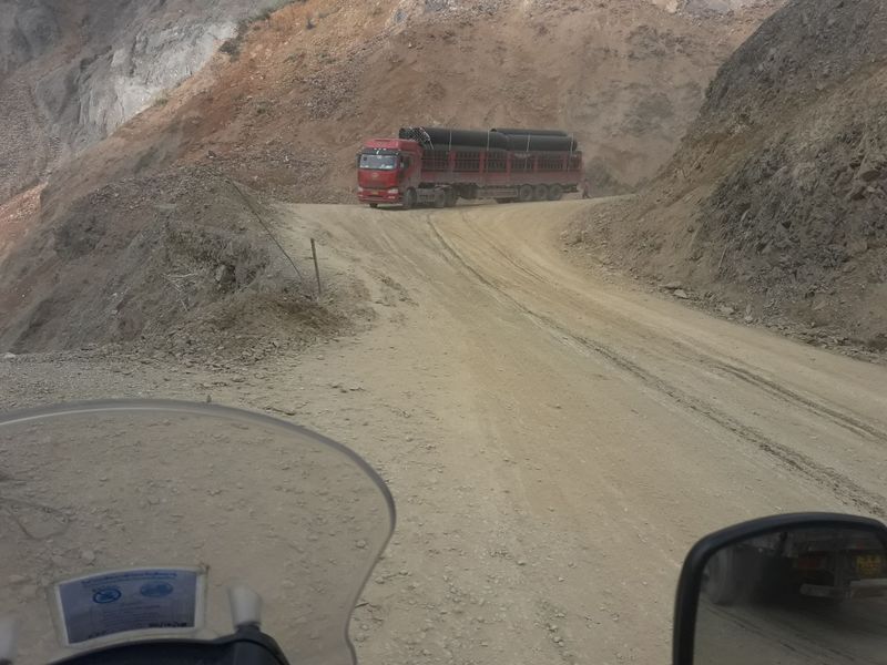
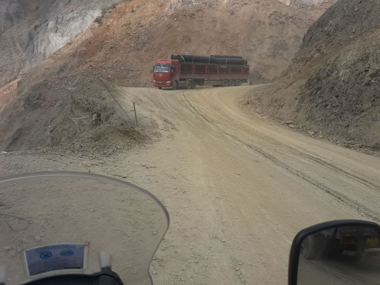
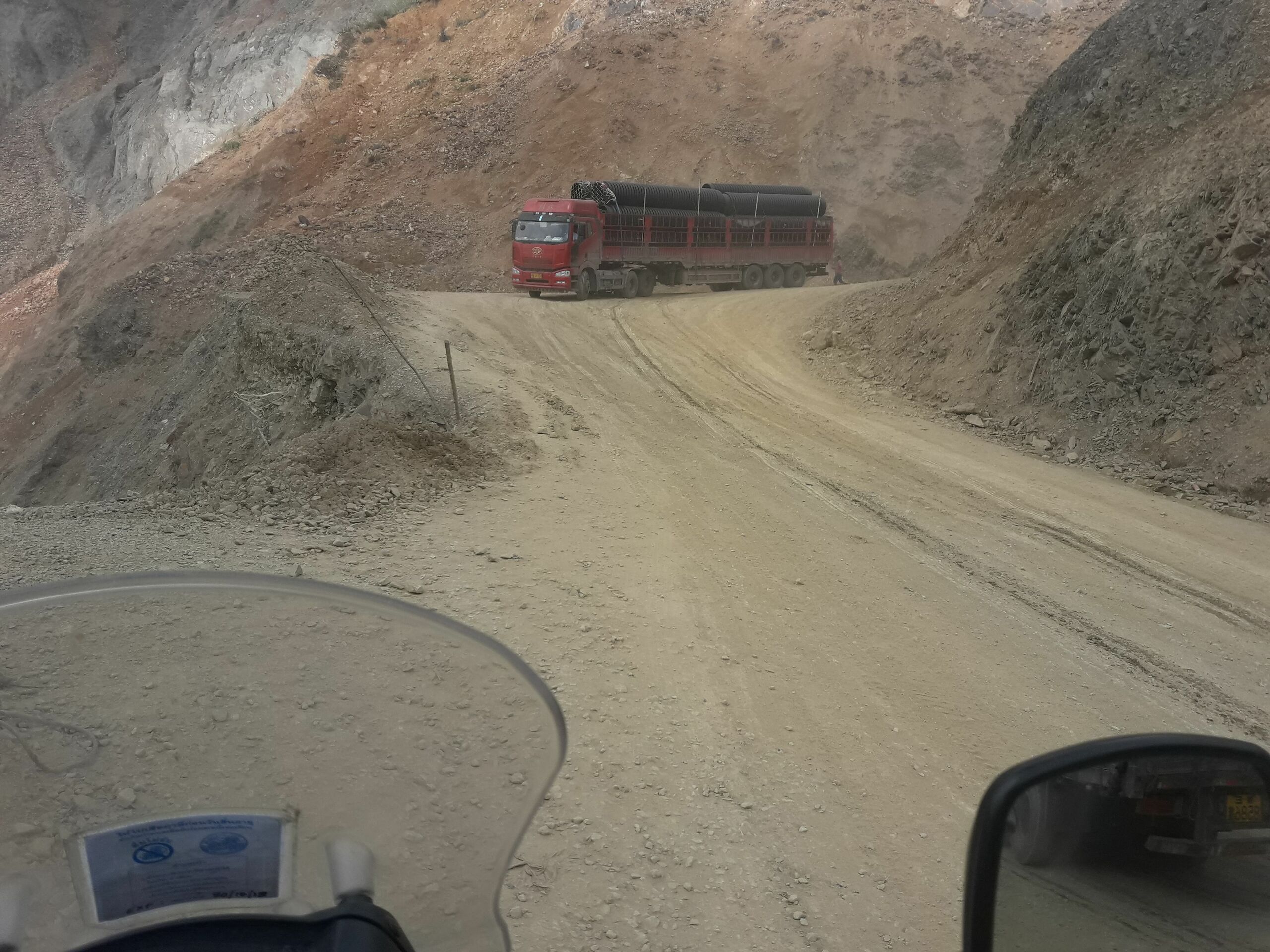
Taken in November 2018, this shows the poor condition of the Hwy 4C where erosion and landslides have removed the asphalt surface leaving a rutted loose dirt surface.
- This media file was uploaded by author of the work and its copyright holder.
![]()
![]()
The person who associated a work with this deed has dedicated the work to the public domain by waiving all of his or her rights to the work worldwide under copyright law, including all related and neighboring rights, to the extent allowed by law. You can copy, modify, distribute and perform the work, even for commercial purposes, all without asking permission.
File history
Click on a date/time to view the file as it appeared at that time.
| Date/Time | Thumbnail | Dimensions | User | Comment | |
|---|---|---|---|---|---|
| current | 06:27, 16 January 2019 | | 4,128 × 3,096 (1.65 MB) | Russ McD (talk | contribs) |
You cannot overwrite this file.
File usage
The following 2 pages use this file: