Kerala-MDR
Jump to navigation
Jump to search
Union territories: Andaman and Nicobar Islands (AN) · Chandigarh (CH) · Dadra and Nagar Haveli (DN) · Daman and Diu (DD) · Delhi (National Capital Territory) (DL) · Jammu and Kashmir (JK) · Ladakh (JK) · Lakshadweep (LD) · Puducherry (PY)

Kerala have a Major District Roads network of 27,469.950 km.
Tags for the relation
Each way making up any single Indian Highway route is added to a relation and that relation is given at least these tags:
Note: These tags are added to the relation and not the ways.
- Optional tags to include in the relation are
- Optional tags for the roads
Optionally, following tags may be added to the ways (road):
ref=MDRhighway=secondary(as according to India/Tags/Highway)lane_markings=*- For roads that are not given lane markings, use
lane_markings=noand omit thelanestag - For 2 lane roads (one lane to each direction) with marked lanes, use
lane_markings=yestogether withlanes=2
- For roads that are not given lane markings, use
Other commonly used road tags include: surface=asphalt, name=* & name:ml=*, road_marking=*, oneway=no, smoothness=*, etc.
District-wise sub-pages
The MDRs of Kerala are listed in the district-wise sub-pages. Online resources that may aid mapping MDRs are also given in the table.
| Code | District | PWD MDR list | PWD map | SPB map | Remarks |
|---|---|---|---|---|---|
| AL | Alappuzha | list | image | ||
| ER | Ernakulam | list | image | ||
| ID | Idukki | list | image | ||
| KN | Kannur | list | image | ||
| KS | Kasaragod | list | image | ||
| KL | Kollam | list | image | ||
| KT | Kottayam | list | image | ||
| KZ | Kozhikode | list | image | ||
| MA | Malappuram | Manjeri | image | ||
| PL | Palakkad | list | image | ||
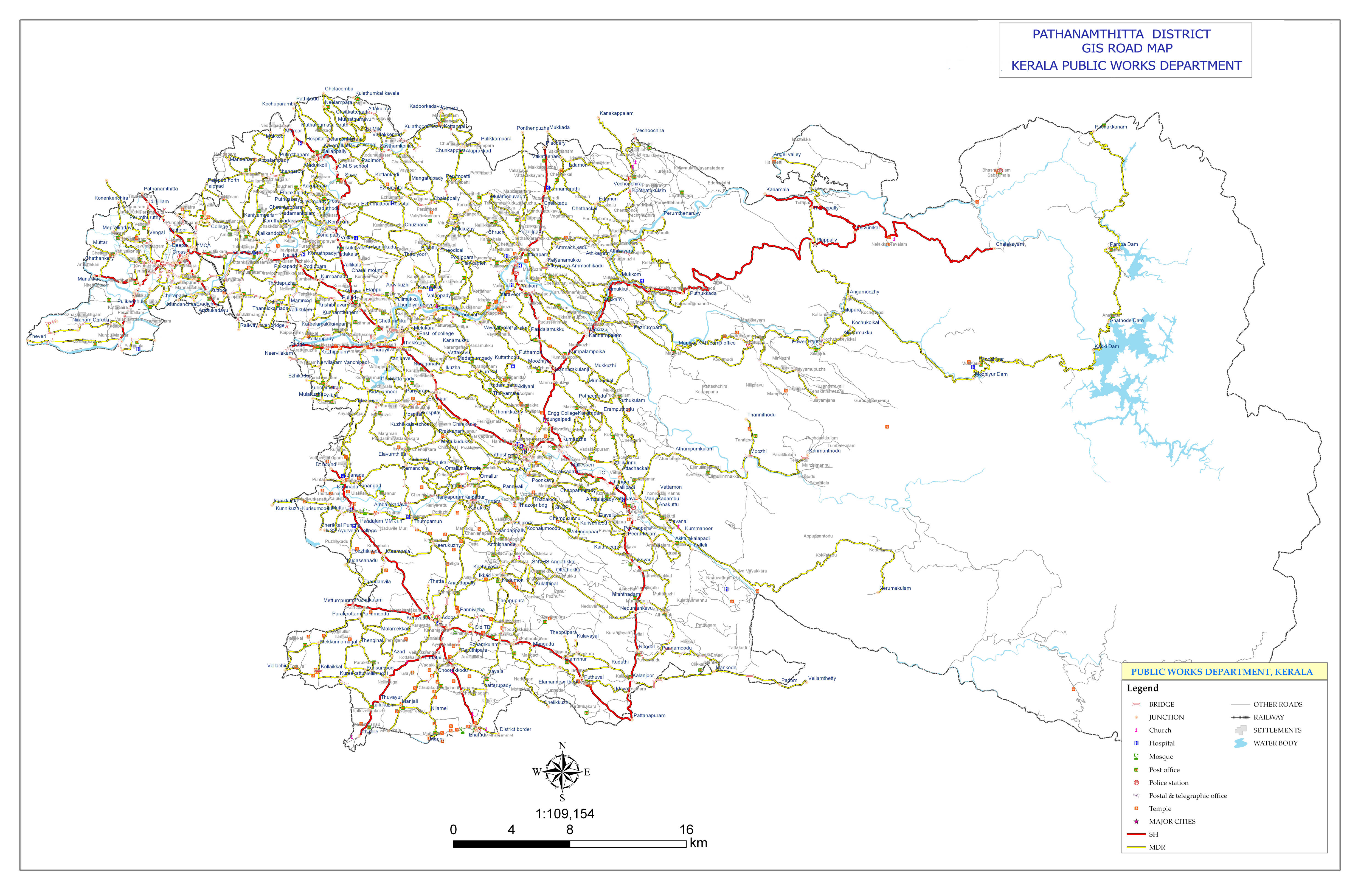
| PT | Pathanamthitta | list | image | ||
| TV | Thiruvananthapuram | list | image | ||
| TS | Thrissur | list | image | ||
| WA | Wayanad | list, Churam | image | ||
| Vadakara | |||||
| Muvattupuzha | list | image |
- Resources
- India/Tags/Highway#Road classification and tagging scheme for India (proposal)
- Kerala PWD Road network map
- http://spb.kerala.gov.in/images/er/er14/Chapter5/Appendix/5-2.pdf
- Overpass query

/*
This has been generated by the overpass-turbo wizard.
The original search was:
“"network"="IN:MDR:KL" in Kerala”
*/
[out:json][timeout:25];

area["name"="Kerala"]->.searchArea;
// gather results
(
  // query part for: “network="IN:SH:KL"”
  nwr["ref"~"^MDR"](area.searchArea);

);
// print results
out body;
>;
out skel qt;