Organised Editing/Activities/missing roundabouts France
Intro
Our team noticed that in some European countries there are problems with the mapping of roundabouts and the presence of tags in them. Missed roundabouts - part of the road where there's a roundabout sign, but the roundabout road with needed tags is absent.
Which items will be reviewed?
- Missed geometry of roundabout
- Roundabout without tag 'junction=roundabout/circular'
We will use #mapbox_roundabouts_France hashtag for edits we will make.
Background
As part of on-going work to improve the quality of OpenStreetMap data, we use internal Mapbox data validation jobs that search OSM data for errors for detecting issues related to road network data in Europe. In this project, we are going to review issues in 1 category. Our plan is to review all detected roundabout issues and fix it where possible in OpenStreetMap.
We use internal Mapbox data validation jobs that search OSM data for errors. The process is completely switched to automatic uploading and searching for data errors. Automation of the process was achieved with internal algorithm which detects mistakes on roundabout mapping and them tags. Our plan is to review a roundabout of the detected issues manually, and fix any valid issues with them.
Examples of missing roundabouts in OSM
Let's look at a couple of examples of what we will fix in this project:
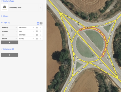
Junction=circular
We see that there is no junction=circular tag here, also circular exits are connected at one point. Here we put the tag junction=circular and fixed mapping of circular exits.

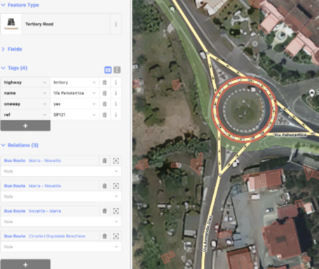
Junction=roundabout There is no proper junction=roundabout tag here, but of the roundabout exits is correct. Here we only put the tag junction=roundabout.

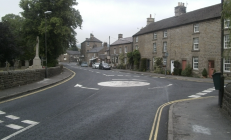
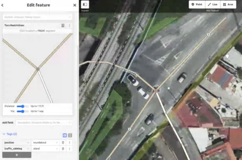
Also we put the tag Mini-roundabout:

and map circular geometry of Junction=roundabout + add traffic-calming island as a node

Timeframe
1st iteration (February 2023): We plan to start reviewing detected issues in the February 2023, and editing OpenStreetMap data to fix valid issues.
Tools
We will use existing OpenStreetMap editing tools Editor: iD Satellite Imagery: BDOrtho IGN, Bing, Maxar, Esri Street Level Imagery: Mapillary, Other open sources if available
Contact Person
We welcome feedback, suggestions, and insights from local mappers. If you have questions about this work, or a specific edit by our team, please reach out to Natallia (natallia.zhouner@mapbox.com). Also you can leave a comment in a changesets.