Rhode Island/RIGIS Aerial Photo
The Division of Statewide Planning (of Rhode Island) maintains a series of aerial photographs which are available to the general public for the purpose of viewing and/or reproducing. Environmental Data Center at University of Rhode Island hosts the aerial photo from 2018. 
License
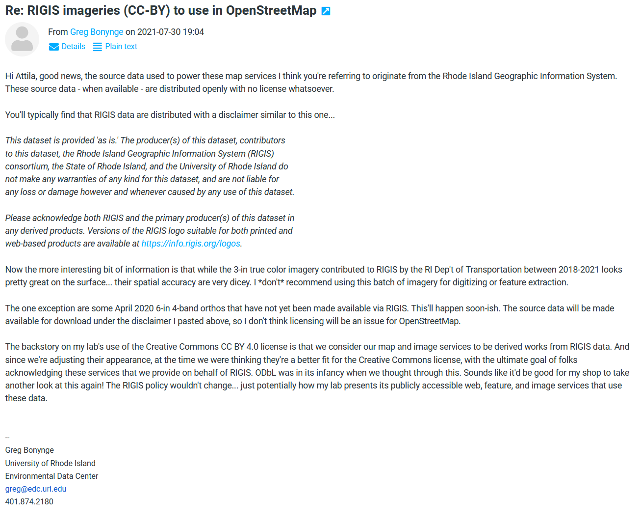
Terms: (Accessed on 10/25/2020): "Anyone can use open data from RIGIS at no cost. Download raw data and share your insights with your community or build new applications that serve specific users." Email from Greg Bonynge[note 1] - The RIGIS source data are distributed openly, without license.
Accuracy
RIGIS has noted that "While these aerial photographs are very detailed (3-in pixel resolution), they are not traditionally orthorectified. Their horizontal accuracy may vary throughout the state. Potential users are encouraged to carefully evaluate the suitability of these images before use"[note 2]. As a result. please use this imagery with caution.
Usage
RIGIS Aerial Photo has been included in iD since 2.20.2. If you wish to use this imagery out of iD, please follow the instruction at https://github.com/osmlab/editor-layer-index.
