Uploads by Aseerel4c26
Jump to navigation
Jump to search
This special page shows all uploaded files.
| Date | Name | Thumbnail | Size | Description | Versions |
|---|---|---|---|---|---|
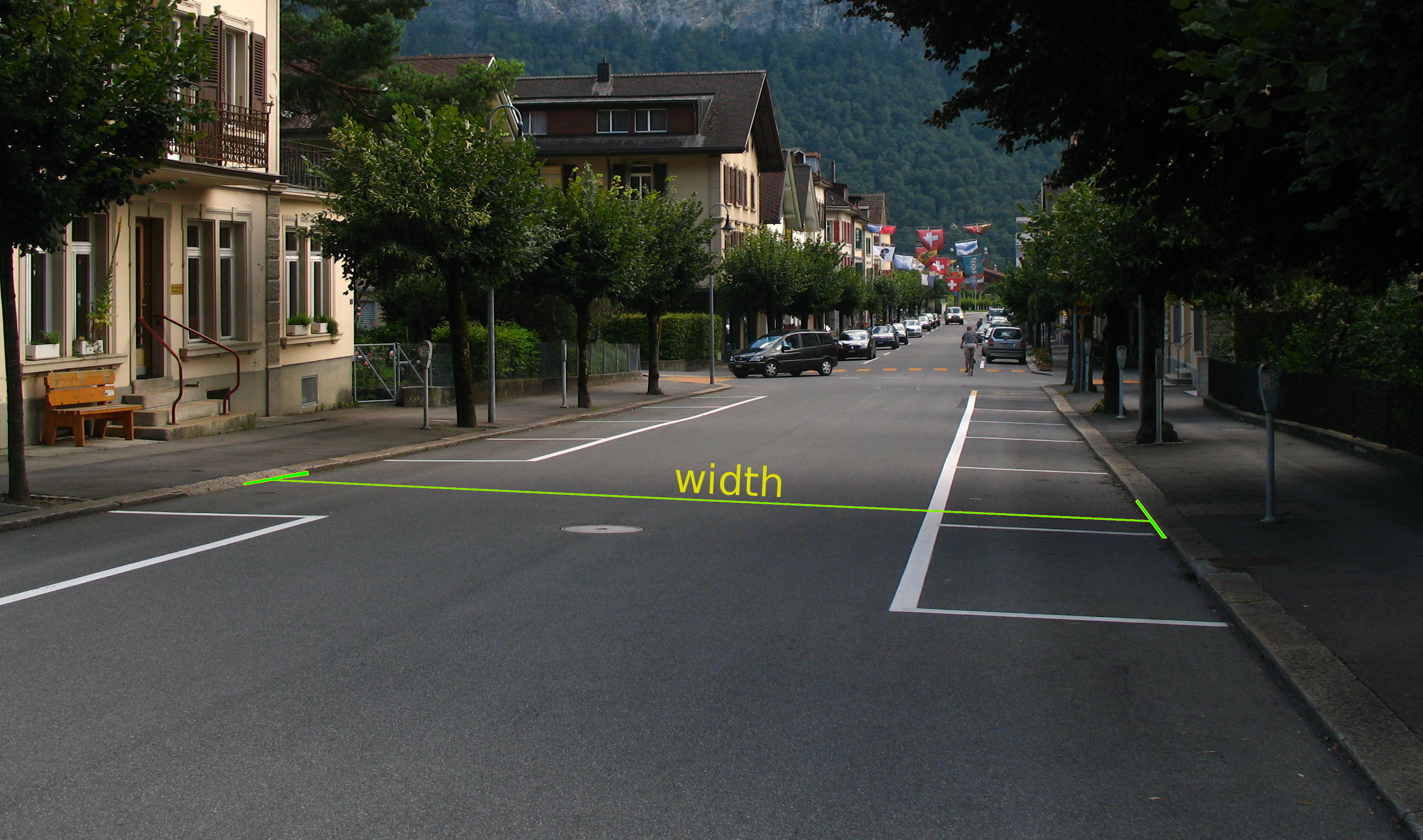
| 15:31, 9 April 2016 | Width at 6044 - Meiringen - Kirchgasse.jpg (file) |  |
3.23 MB | width measurement at streets, for https://help.openstreetmap.org/questions/49131/when-measuring-the-width-of-a-carriage-way-what-is-measures-on-street-parking-painted-islands location: {{Location|46|43|42.9|N|8|11|18.2|E|heading:SWbS}} == License ==... | 1 |
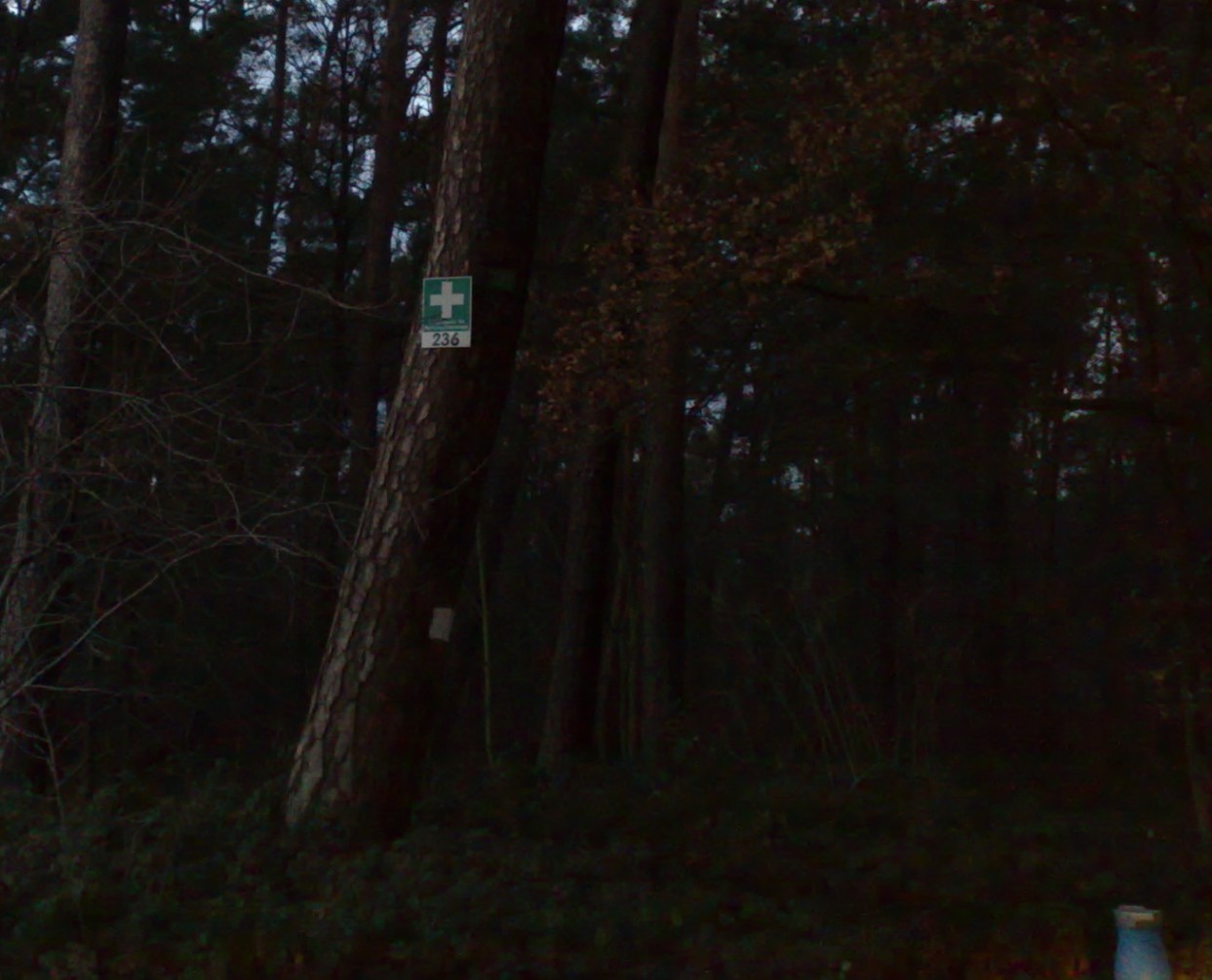
| 18:55, 30 December 2015 | Rettungspunkt Nummer 236 im Landkreis Offenbach.jpeg (file) |  |
153 KB | Rettungspunkt Nummer 236 im Landkreis Offenbach (der Systematik folgend müsste er mit OF-236 bezeichnet sein) | 1 |
| 12:53, 5 December 2015 | Osm help logo 6.png (file) | 6 KB | taken from https://help.openstreetmap.org/ . This is apparently based on File:Public-images-osm logo.svg + simple text. == Licensing == {{CC-by-sa-3.0}} Category:OSM logos | 1 | |
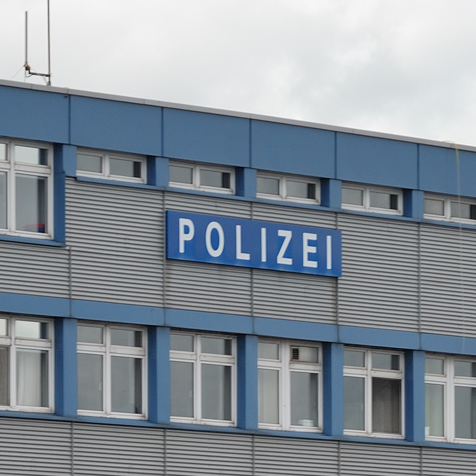
| 18:54, 15 February 2015 | 100px-Hamburg-090612-0049-DSC 8141-Polizeiboot.png (file) |  |
883 KB | re-cut (without reduced resolution) from the original File:Hamburg-090612-0049-DSC 8141-Polizeiboot.jpg (By Mbdortmund (Own work) GFDL 1.2 (1.2 only)) | 2 |
| 15:17, 21 December 2014 | Browsing-Adding a marker-en.png (file) |  |
49 KB | colour #e400d1 for the annotations to better separate it from the other annotated image in Browsing | 3 |
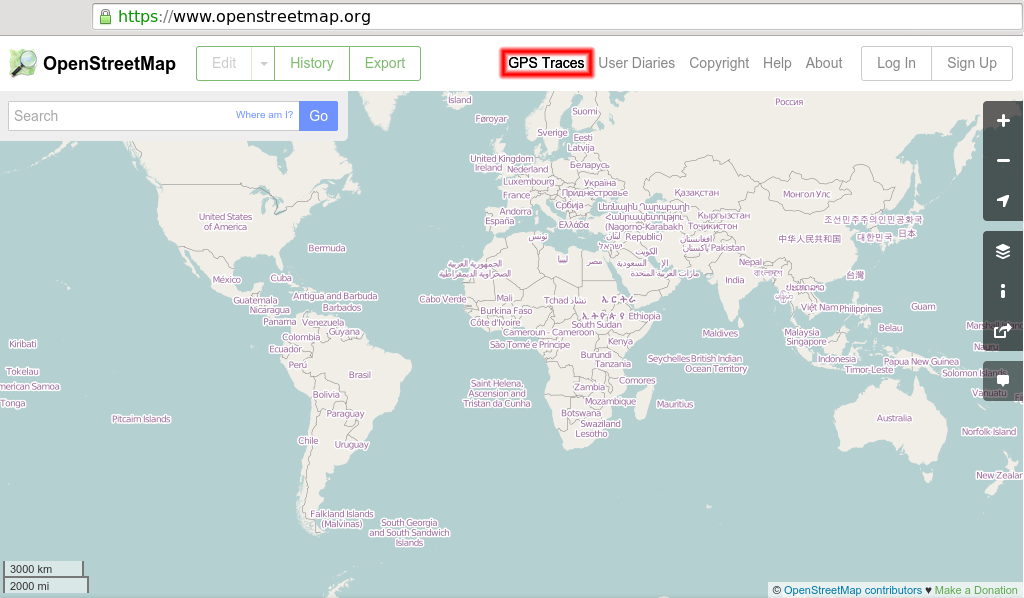
| 13:17, 21 October 2014 | GPS Traces tab.png (file) |  |
190 KB | new website layout | 3 |
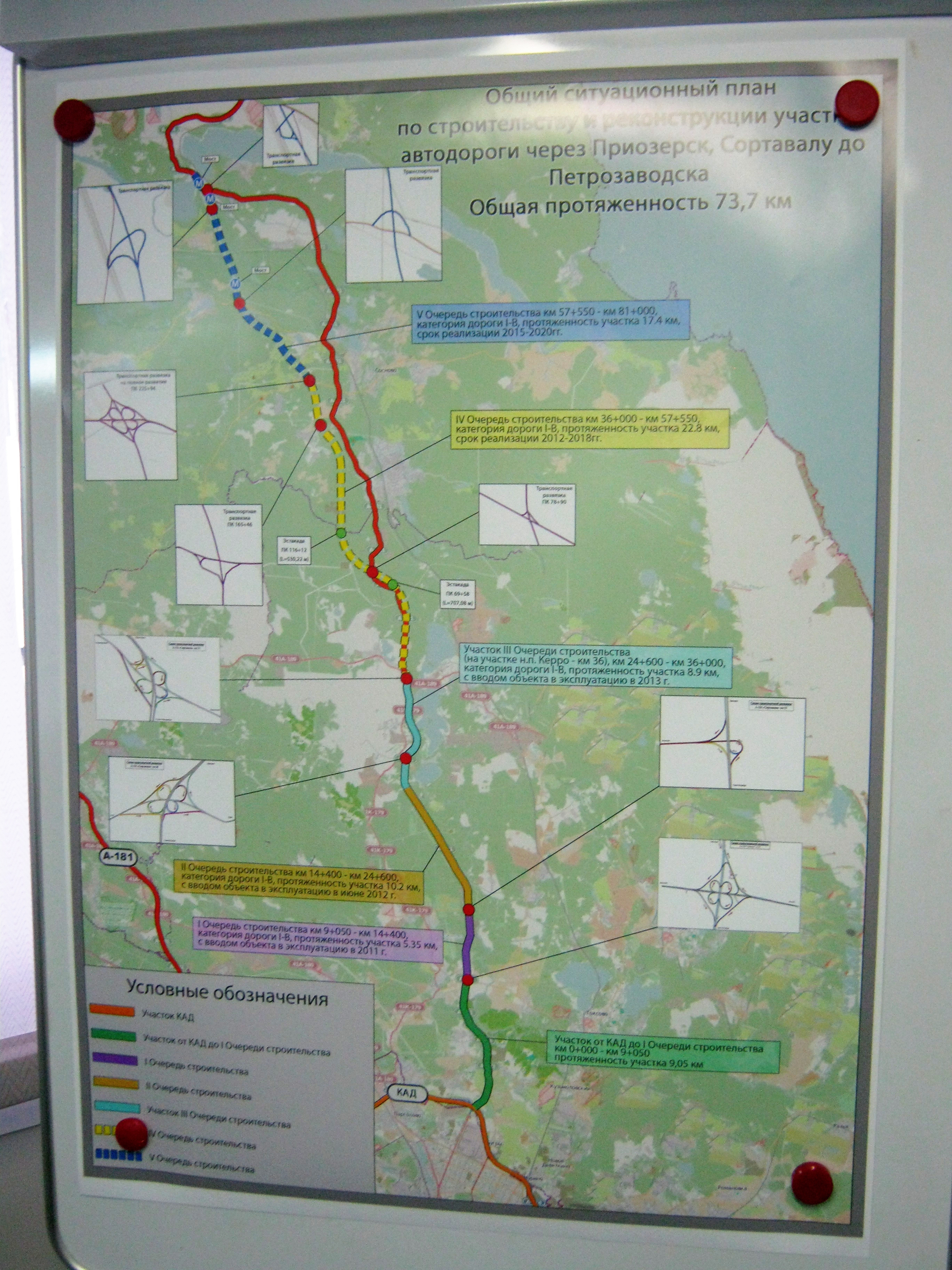
| 12:15, 12 March 2014 | Priozerka osm.jpeg (file) |  |
2.8 MB | improved colours | 2 |
| 14:06, 6 March 2014 | Rwk map area.png (file) |  |
12 KB | update with screenshot from map homepage, contrast enhanced | 2 |
| 20:16, 7 February 2014 | Retina zoom comparison.gif (file) |  |
485 KB | cut to remove white part, adjusted to be on exactly same position | 2 |
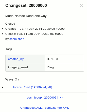
| 17:07, 6 February 2014 | 20million.png (file) |  |
8 KB | The [http://www.openstreetmap.org/changeset/20000000 20 millionth changeset] ([http://blog.openstreetmap.org/2014/02/03/20-million-edits/ story]) on the www.osm.org sidebar (with slightly modified interface for clarity) | 1 |
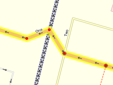
| 14:47, 27 November 2013 | Connected ways by shared nodes in p2.png (file) |  |
22 KB | Reading the image from top-left to bottom-right: * The street "One" is ''not'' connected with the railway line although it has a node right at the same position (no black circle around). * Street "One" and street "Two" are connected with a shared node ... | 1 |
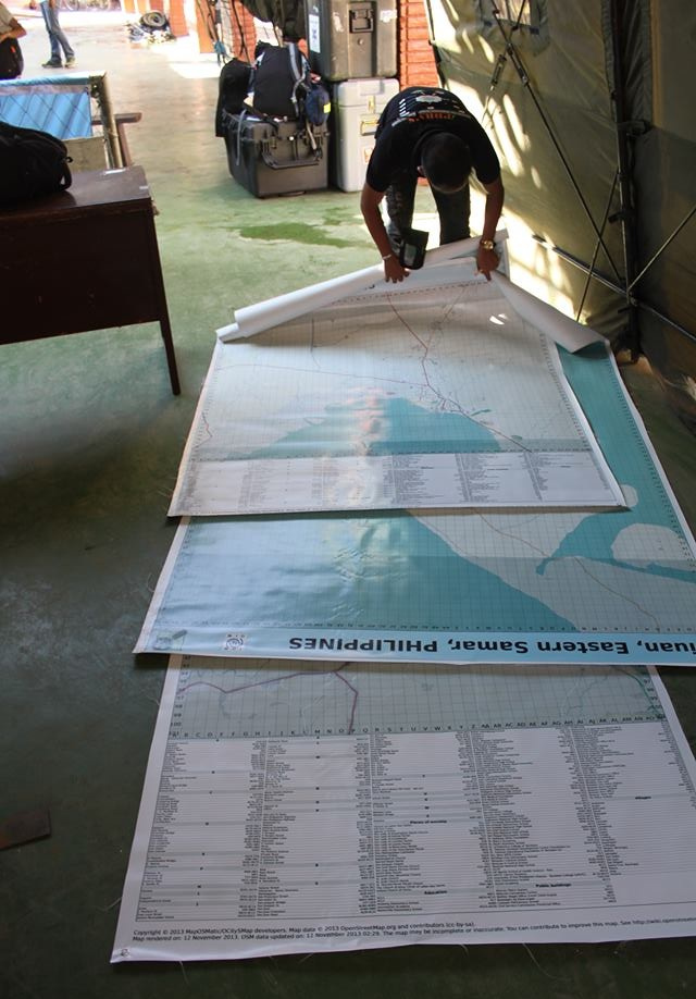
| 16:45, 25 November 2013 | Three large poster maps of Tacloban, Guiuan and Ormoc.jpg (file) |  |
198 KB | cropped the bottom a bit | 2 |
| 11:01, 29 October 2013 | Umap logo.png (file) | 4 KB | uMap logo Source: https://bitbucket.org/yohanboniface/umap/raw/4354ab090ba3e8c959c6250a0a5aaccefcaf0ec9/umap/static/umap/umap.png [https://bitbucket.org/yohanboniface/umap/src/4354ab090ba3e8c959c6250a0a5aaccefcaf0ec9/LICENSE?at=master WTFPL (DO W... | 1 | |
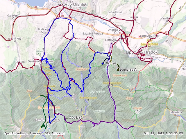
| 22:31, 22 October 2013 | Mapping party in Low Tatras 2013-10-13 traces.png (file) |  |
583 KB | GPS traces of a mapping party in Low Tatras, 12th and 13th October 2013 on the OSM-based Freemap map. Shown here: traces as of 13th, 1:32:30 PM. Source: still image of http://vimeo.com/77485518 | 1 |
| 10:34, 9 September 2013 | Sotm13 group photo CF.jpg (file) |  |
1.89 MB | State of The Map 2013 Group Photo [http://www.flickr.com/photos/chrisfleming/9698307143/ Original] By [http://www.flickr.com/photos/chrisfleming/ Chris Fleming]. Slightly cropped and scaled down (server restriction) version here. | 1 |
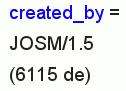
| 12:08, 19 August 2013 | Created by JOSM 15 6115 de.png (file) |  |
6 KB | make that half transparent, a bit too hard in the green info box | 2 |
| 13:39, 23 July 2013 | Mapeamento Colaborativo – Gestão Urbana SP 20130723 smaller.png (file) |  |
853 KB | thumbnails stay big anyway | 3 |
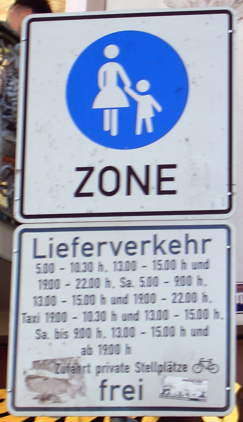
| 23:36, 21 July 2013 | Fussgaengerzone access.JPG (file) |  |
602 KB | weniger rot | 2 |
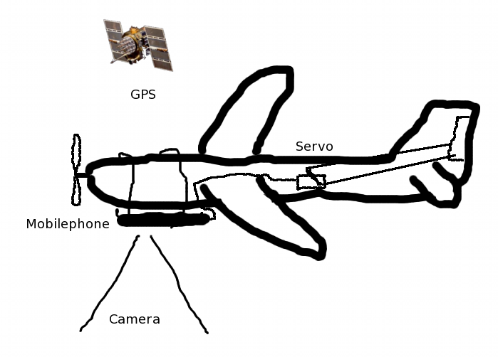
| 11:20, 23 June 2013 | Osm drohne.png (file) |  |
62 KB | Rand abgeschnitten | 2 |