State of the Map 2017/Call for venues/Fukushima
State Of The Map in Fukushima?
Welcome to the bid proposal page to host State of the Map 2017, in Aizu-Wakamatsu, Fukushima Prefecture, Japan. The Fukushima Prefecture is situated in the south of the "Tohoku" region in the Northern part of the Japanese main island of Honshu. The Fukushima Prefecture is 250 km north of Tokyo.
Five years ago, a huge earthquake and tsunami hit the region, causing major damage in Fukushima. The people living in Fukushima have mostly settled down to a normal life again. But, nearly 100,000 people who were evacuated still have to remain in temporary emergency housing. Although conditions were very bad right after the disaster, things have gradually been getting better. We are thankful for this.

Tsuruga-jo Castle (Aizuwakamatsu City)
Aizu-Wakamatsu City is located in western Fukushima Prefecture. About 125,000 people live in Aizu-Wakamatsu City. Aizu-Wakamatsu City has many places of natural beauty nearby, such as Mt Bandai and Lake Inawashiro. Aizu-Wakamatsu City is an historic city and currently one of the best sightseeing cities in the Tohoku. The University of Aizu is the first university dedicated to computer science engineering in Japan. Aizu-Wakamatsu City understands ICT (Information and Communication Technology). There are many startup companies in Aizu-Wakamatsu City. OpenStreetMap flourishes in Aizu-Wakamatsu City.
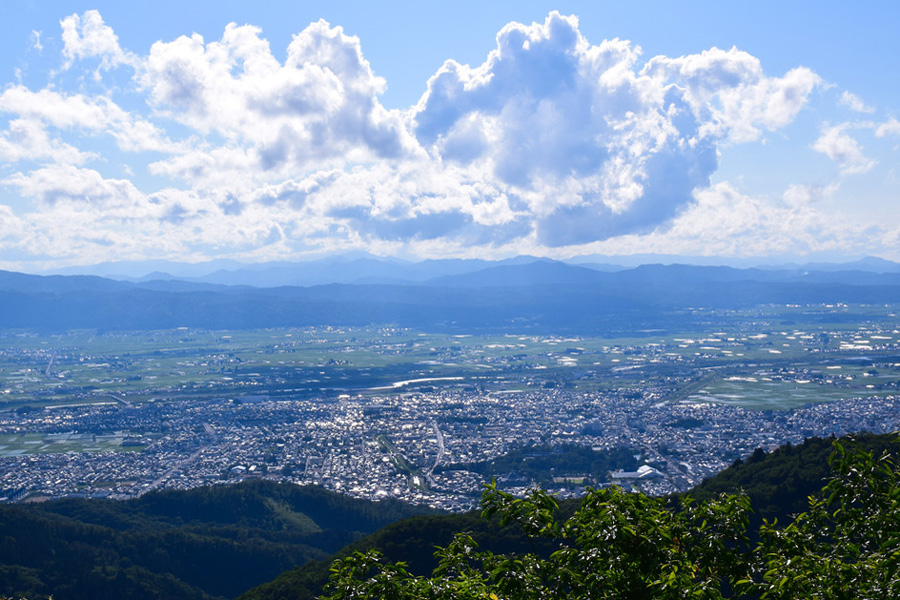
Aizu-Wakamatsu City (from Seaburi-Yama)
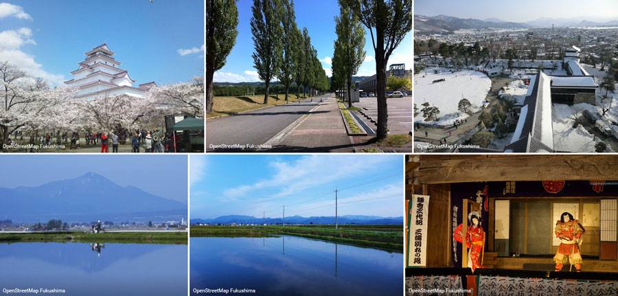
Landscape of Aizuwakamatsu City, Fukushima

Who's on the team?
Most of us are members of the OpenStreetMap Fukushima community.
Our team members are:
- Hirotaka Hayashi
- Jun Meguro (Aizuwakamatsu city officials)
- Kinya Inoue (OSMF Japan)
- Mariko Nozawa
- Mizue Murakami
- Takehiro Watanabe (OSMF Japan)
- Tatsuhiro Miyamori
Most members has experience organizing various conferences.
Transport
Train
With Bullet Train
- Narita International Airport/Haneda Airport – Tokyo – (Tohoku Shinkansen: 1 hr 20 mins) – Koriyama – (Ban-etsu West Line: 1 hr 10 mins) – Aizu Wakamatsu
- Asakusa – (Tobu Kinugawa Line: 2 hrs) – Kinugawa Onsen – (Yagan Railway & Aizu Railway: 2 hrs 10 mins) – Aizu Wakamatsu
- Shinjuku – (JR Kinugawa Line: 2 hrs) – Kinugawa Onsen – (Yagan Railway & Aizu Railway: 2 hrs 10 mins) – Aizu Wakamatsu
Airtravel (From Regional Airports)
- Fukushima Airport – (Transit bus: 40 mins) – Koriyama Station – (Ban-etsu West Line: 1 hr 10 mins) – Aizu Wakamatsu
Koriyama Station – (Highway bus: 1 hr 5 mins) – Aizu Wakamatsu Station
- Niigata Airport – (Transit bus: 30 mins) – Niigata Station – (Highway bus: 1 hr 50 mins) – Aizu Wakamatsu Station
- Sendai Airport – (Airport Railway & Tohoku Line: 17 mins) – Sendai Station, East Exit – (Highway bus: 2 hrs 25 mins) – Aizu Wakamatsu Station
Access to Fukushima
http://www.tif.ne.jp/lang/en/access.html
SAMURAI CITY Getting to Know Aizu Wakamatsu http://e.samurai-city.jp/
Where?
There are two candidate locations for SotM.
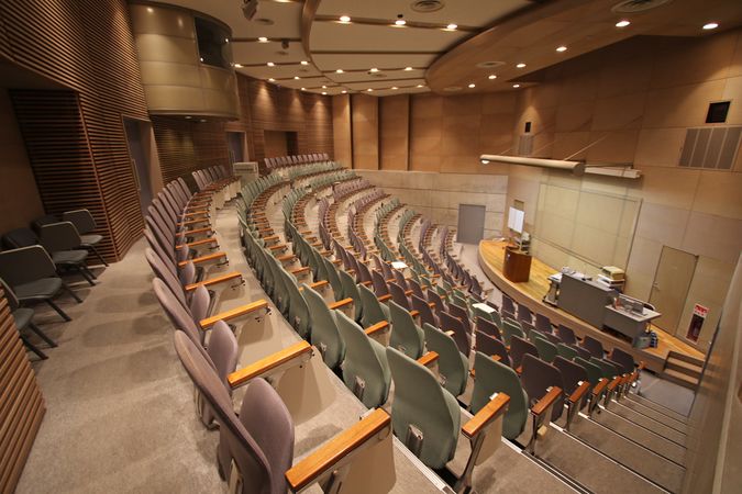
The University of Aizu
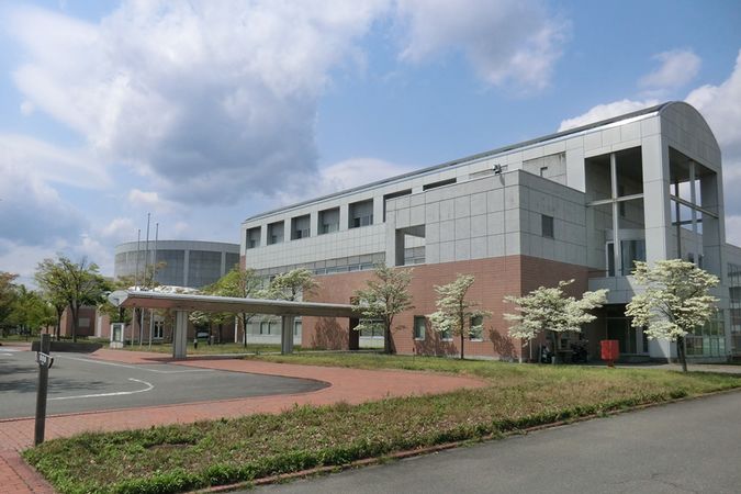
University building
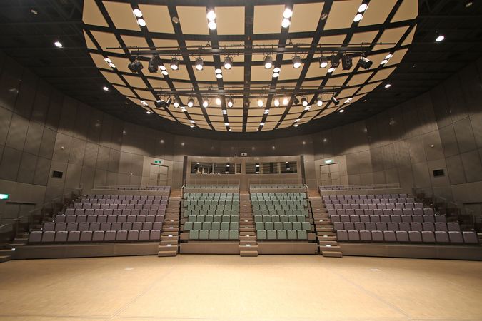
Auditorium: capacity 310 (max 460)
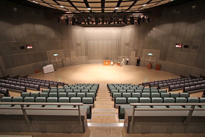
Auditorium
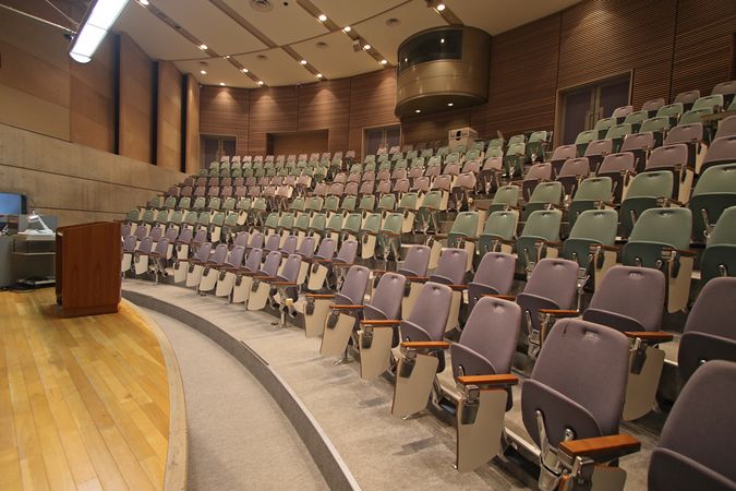
Lecture hall: capacity 240
Lecture hall

Classroom


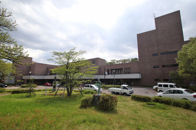
Aizu Wakamatsu City Culture Center
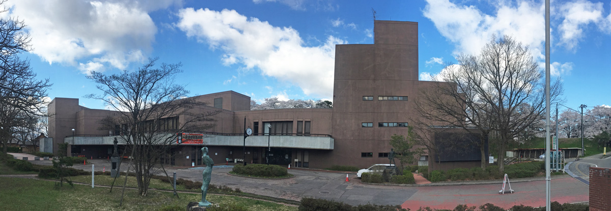
Aizu-Wakamatsu City Culture Center


When?
We are not sure about a date just yet. We are planning to hold SotM2017 in July - August. (3 Days)