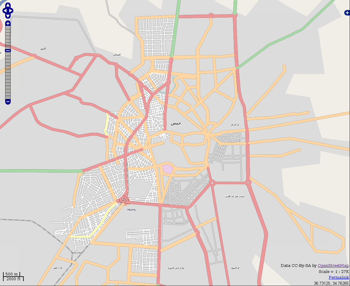
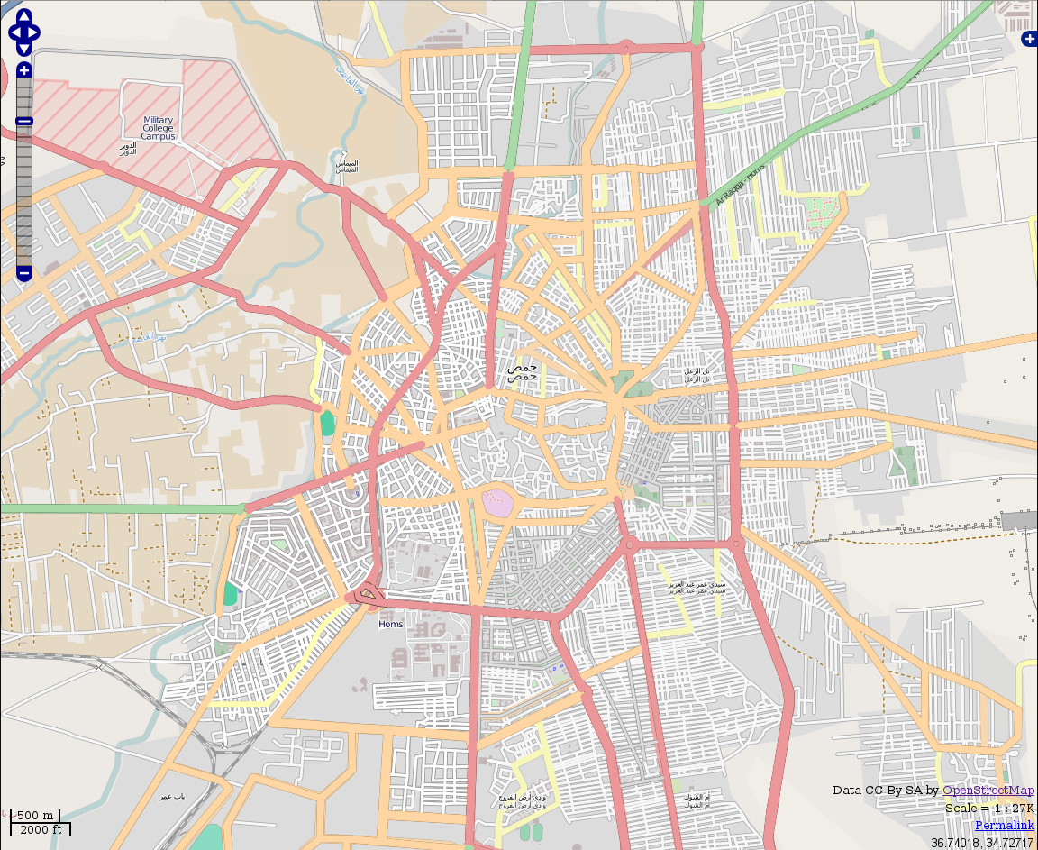
Impressive tracing occurred over Homs after high resolution Bing imagery of the area became available. Compare this snapshot taken on Saturday 2011-02-11, when the mobilization was just starting (with the "roads" in grey south west of the center):

to this one updated on Friday 2011-02-17:
