Tag:area:highway=trunk_link

From OpenStreetMap Wiki
Jump to navigation Jump to search
Public-images-osm logo.svg area:highway = trunk_link
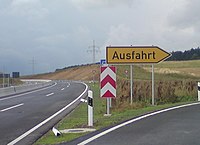
B 243 AS Steina.JPG
Description
The shape of a highway=trunk_link area. Show/edit corresponding data item.
Group: highways
Used on these elements
should not be used on nodesshould not be used on waysmay be used on areas (and multipolygon relations)should not be used on relations (except multipolygon relations)
Status: de facto

The shape of a highway=trunk_link area, optionally mapped in addition to highway=trunk_link.
See also

  • lanes=* - useful to map, doable with lower effort, can be used to guess road shape
  • width=* - for straight roads it is as good for mapping shape and is simpler to map