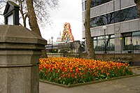
Tag:man_made=flowerbed
Jump to navigation
Jump to search
| Description |
|---|
| A flowerbed. |
| Group: man_made |
| Used on these elements |
| See also |
| Status: in use |
| Tools for this tag |
|
The tag man_made=flowerbed is used to map a flowerbed. Often these features are found within a leisure=park or leisure=garden or as part of street decor.
