Tag:seamark:type=separation_boundary
Jump to navigation
Jump to search
| Description |
|---|
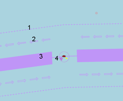
| The outer limit of a traffic lane part or a traffic separation scheme roundabout. |
| Group: marine navigation |
| Used on these elements |
| Status: in use |
| Tools for this tag |
|
The outer limit of a traffic lane part or a traffic separation scheme roundabout.
How to map
Draw a way ![]() an add
an add seamark:type=separation_boundary
