User:ConsEbt/Berry
Jump to navigation
Jump to search
Improve Berry
During a weekend away in Berry NSW I found myself with too little details in and around to just add POIs via OSMAND+. So I decided to improve the map.
The beginning
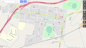
I started with the map looking like this, that was end of March 2019:

At that time the LPI NSW Satellite images where still from Feb 2012, but high resolution.
Current status
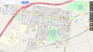
As off 2019-05-06 I have added most houses, half of them have address details:

I noticed that East of the David Berry Hospital the LPI NSW Satellite images are from 2018.
ToDo
There are many things still to improve. Some I'd like to tackle are:
- update Princess Highway and ramps once new images come available
- update main strip (Queen Street) of shops with neater buildings
- update train station
- tag historic buildings
and last, visit Berry again to add POIs :-)