User:Johnparis/sandbox/renderings
< User:Johnparis | sandbox
Jump to navigation
Jump to search
Some possible renderings
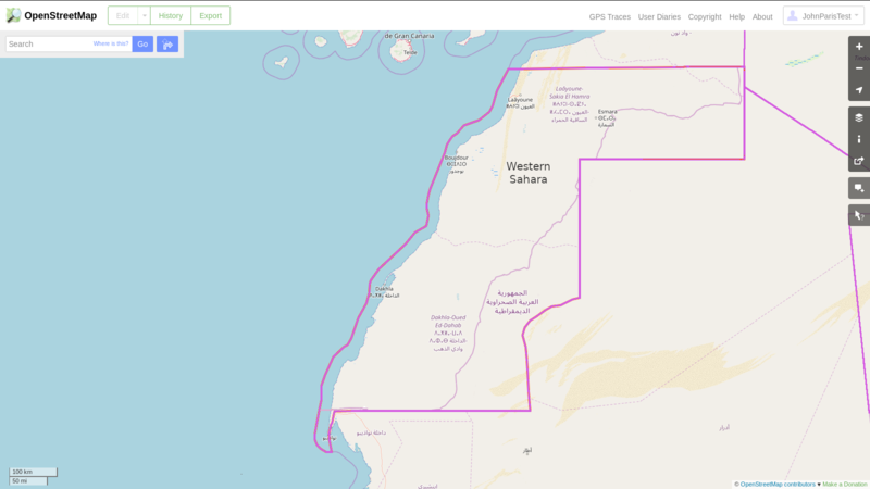
Zooming in to the Western Sahara area. These sample renderings assume no hatch marks. The default map would have dashed lines for the Lines of Control.
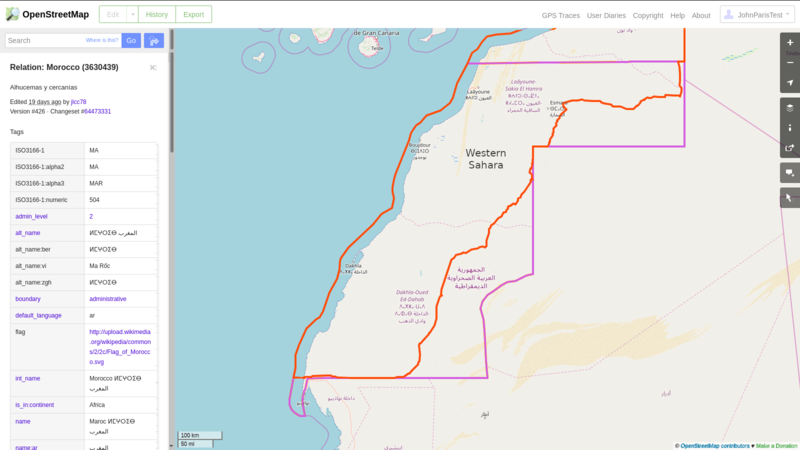
Note the Western Sahara tag and boundary (in the style of admin_level=2). Here is Morocco.
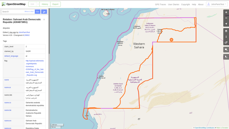
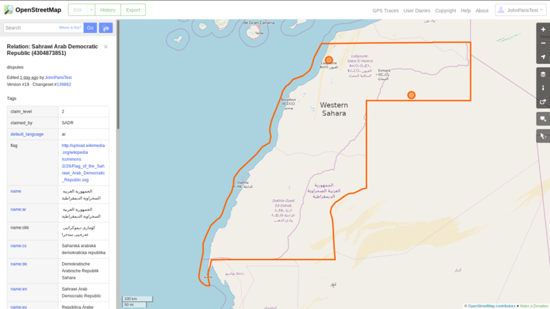
Here is Sahrawi Arab Democratic Republic.
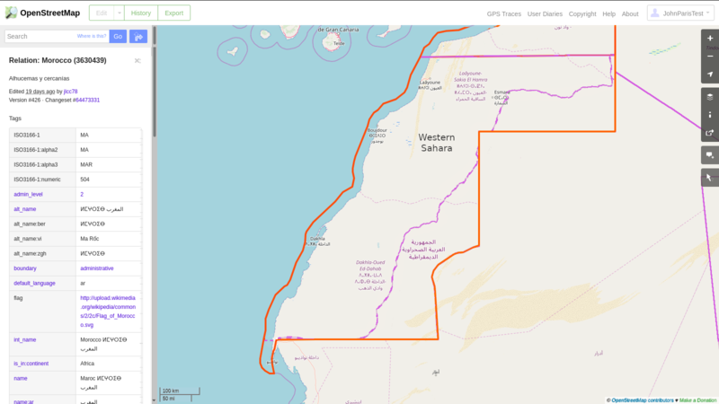
Morocco's Master Claim includes all of Western Sahara. This is how Morocco would portray itself.
SADR's Master Claim also includes all of Western Sahara. This is how SADR would portray itself. (SADR also has a de facto capital and claims Laayoune as its permanent capital.)
Guelmim-Oued Noun Province
Orange indicates Line of Control. Image created on JOSM by selecting relation 4304873848.
