User:Nikolaj
Hi, I'm Nikolaj :-)
I live in Nørrebro, Copenhagen, Denmark.
You can contact me at: im@niksbiks.dk - but you have to include the word osteklokke in the text, otherwise my spam filter will eat it...
I am currently mapping the North Copenhagen area on a bicycle. I am trying to systematically map areas so all streets get mapped. Initially I am mainly creating ways, incl names, in JOSM and upload that and the corresponding GPX traces.
Projects
Currently working on mapping:
- Dyrehaven
- Jærgersborg
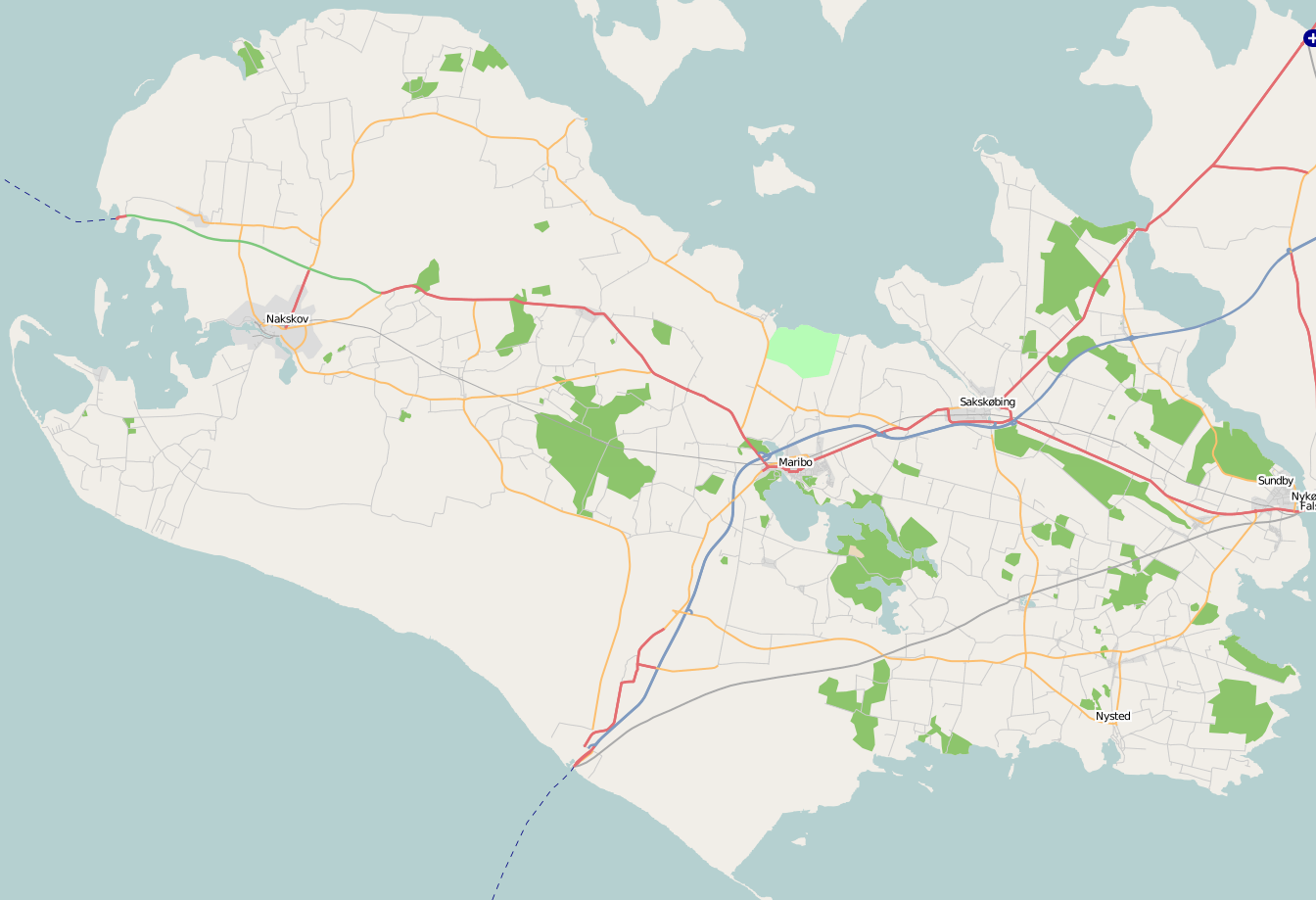
- Lolland (mostly around Maribo)
- Driving around randomly to map the bigger roads on Sjælland
In addition to this, I fix the minor inaccuracies I find in Nørrebro.
Lolland is getting there... After making lots of detours...

Future
When I reach the limit going North (about 15 km each way to the mapping area) I will probably start swinging Westward.
- Emdrup, Vangede, Søborg, Buddinge
- Møn?
Also, I will try to see if I can get any mapping done on business trips and holidays. Though I fear it will be too slow to do on foot.
- Don't worry about doing stuff on foot. Most of the Inner city of Copenhagen and all of Vesterbrogade+ sideroads to Istedgade was done on foot. Benefits are threefold : 1) You get excercise. 2) You get to see the architecture and the "hidden" pearls of a town. 3) You get to meet a lot of different interesting people. Dutch 17:20, 14 February 2007 (UTC)
Well, the problem is time. It is very limited how long you can walk in the odd hour (when you also have to get back), but I will try it out... Nikolaj 22:54, 14 February 2007 (UTC)
Done
- Costa Rica
- A few main roads
- Bits of La Fortuna
- Bits of Monteverde and the road to the Monteverde Cloud Forest Reserve
- Denmark
- Copenhagen
- Gentofte
- Completed Hellerup
- Klampenborg
- Ordrup
- Skovshoved
- Railways
- Lollandsbanen
- Nærumbanen
- Completed S-tog
- Copenhagen
- Finland
- Naantali Mostly done. Note that there is a great pedestrian and cycle network that someone could have a good time exploring this summer...
- India
- A few sightseeing roads around Lonavala
- Residential roads in Kalyani Nagar and Koregaon Park in Pune
- Nicaragua
- A few main roads
- Bits of Granada
- Ometepe island
- Bits of San Juan Del Sur
- Panama
- A few main roads
- Central Bocas del Toro
- Bits of Chitré
- A tiny bit of Panama City
- Spain
- Capileira and a few treks, including the Mulhacén peak.
- Córdoba tourist areas.
- Granada tourist areas.
- The Nerja-Almuñecar-Salobreña-Granada highway and bus stops.
- The Granada-Sierra Nevada highway and bus stops.
- The Granada-Córdoba highway.
- Sweden
- Malmö Only a tiny bit in the center of town.
- Sigtuna About 25% done, but not too accurately due to GPS problems...
- Skellefteå A few streets in the center.
- Rail from Copenhagen to Malmö
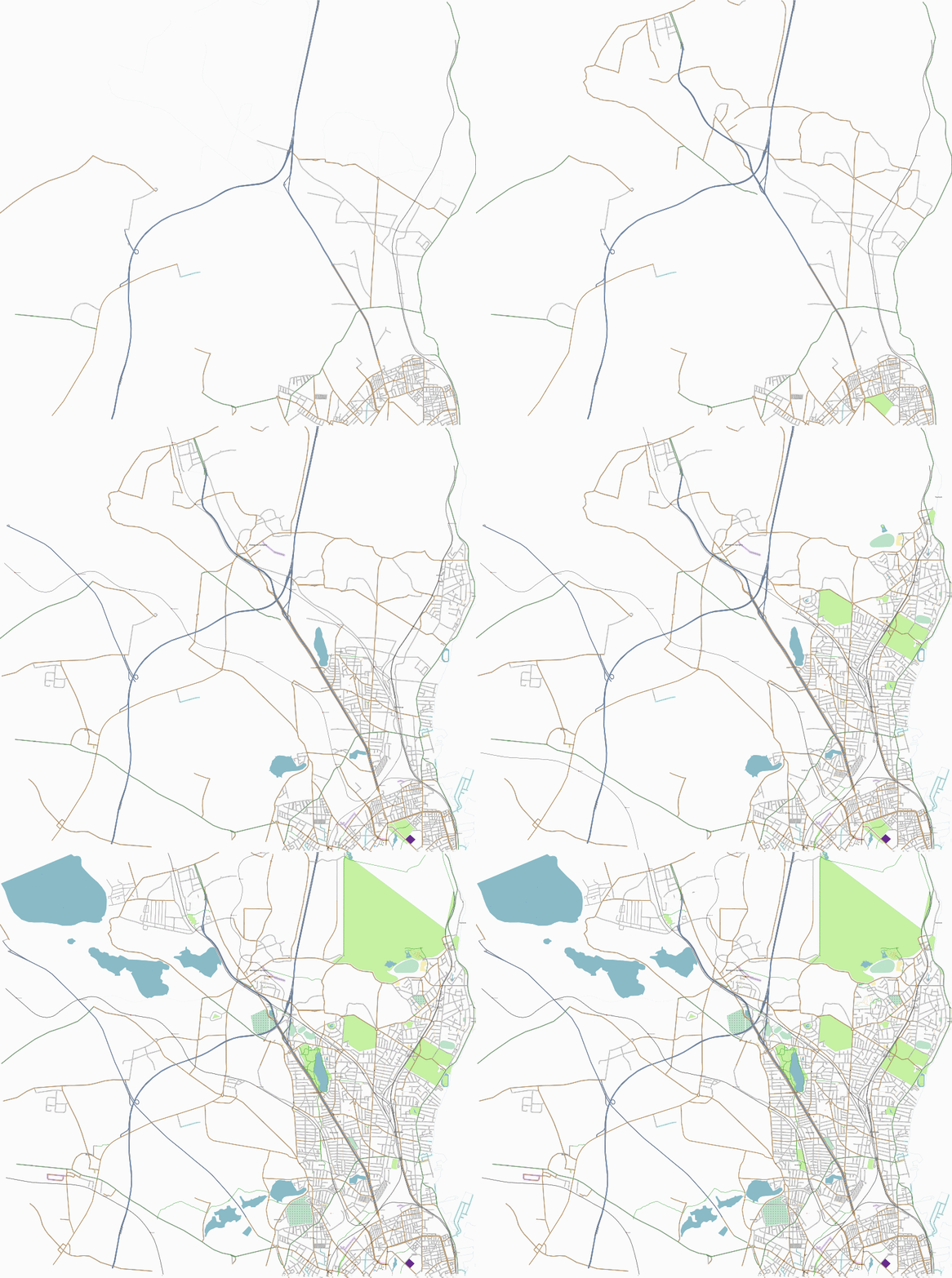
Timelaps image of northern Copenhagen from summer 2006 to spring 2007:

Note that I don't claim credit for all this work, this is just the area I spend most of my time.
Awards
 Nikolaj is awarded a MegaStar for uploading one million track points.