Vejmidte

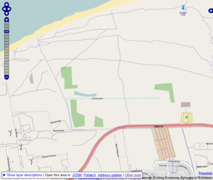
The Vejmidte (Danish for "road centre") layer is an aggregated data layer from different Danish municipalities' road centre themes from their GIS departments. They are available from a tile server.
Tile server
All the different data sets (in different formats and projections) have been collected and aggregated into a single service URL. This way the layer can be expanded with other municipalities over time.
Roads are drawn in black and paths (Frederikshavn, Frederikssund, Egedal, Herlev and Ballerup) and cycleway centres (Copenhagen) are drawn in blue.
JOSM
The layer is available as a default layer:
- Preferences (F12)
- WMS/TMS Imagery-tab in left side
- Find og select Vejmidte (Denmark) (under DK) in the menu left of the map
- If the layer isn't there please press the "Reload"-button to the right of the map
- Press the "Activate" arrow underneath
- Press "OK"
Potlatch2
- URL: http://tile.openstreetmap.dk/danmark/vejmidte/$z/$x/$y.png
Municipalities
- Stevns
- Kolding
- Copenhagen
- Frederikshavn
- Frederikssund
- Egedal
- Herlev
- Ballerup
Agreements
- Stevns: The Open Public License
- "Data ligger til gratis benyttelse under 'Den åbne offentlige licens'." (en: "Data is released for free under the Open Public License")
- Kolding: See Da:Kolding
- Copenhagen: The Open Public License
- "Vigtigt: når du henter nedenstående data, accepterer du samtidig vilkårene i den åbne offentlige licens." (en: "Important: When you download the following data, you accept the terms of the open public license.")
- Frederikshavn: Custom agreement for the purpose.
- Frederikssund, Egedal, Herlev and Ballerup: The Open Public License
For reference: "Den åbne offentlige licens" (en: The Open Public License) - a license created for the Danish government by legal professionals. The license is compatible with ODbL and CC.