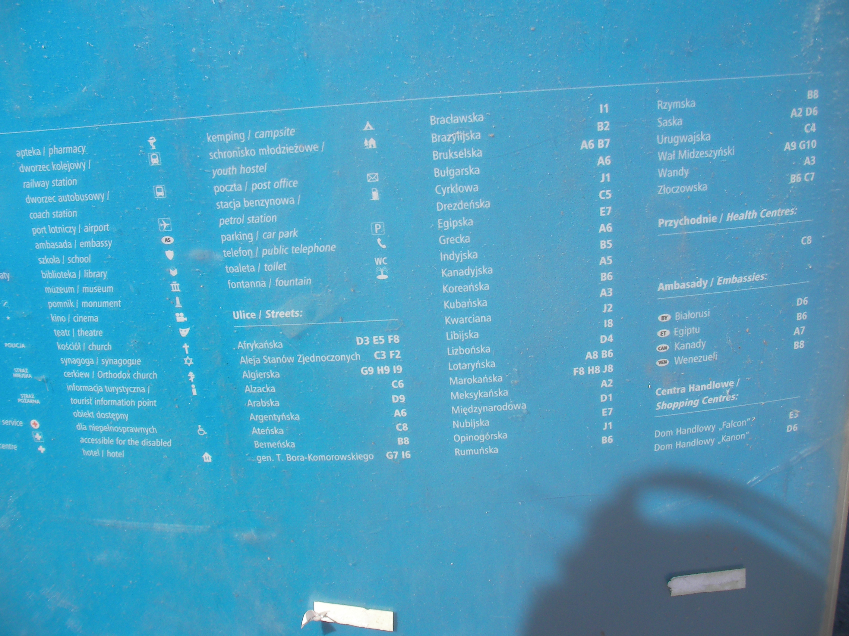
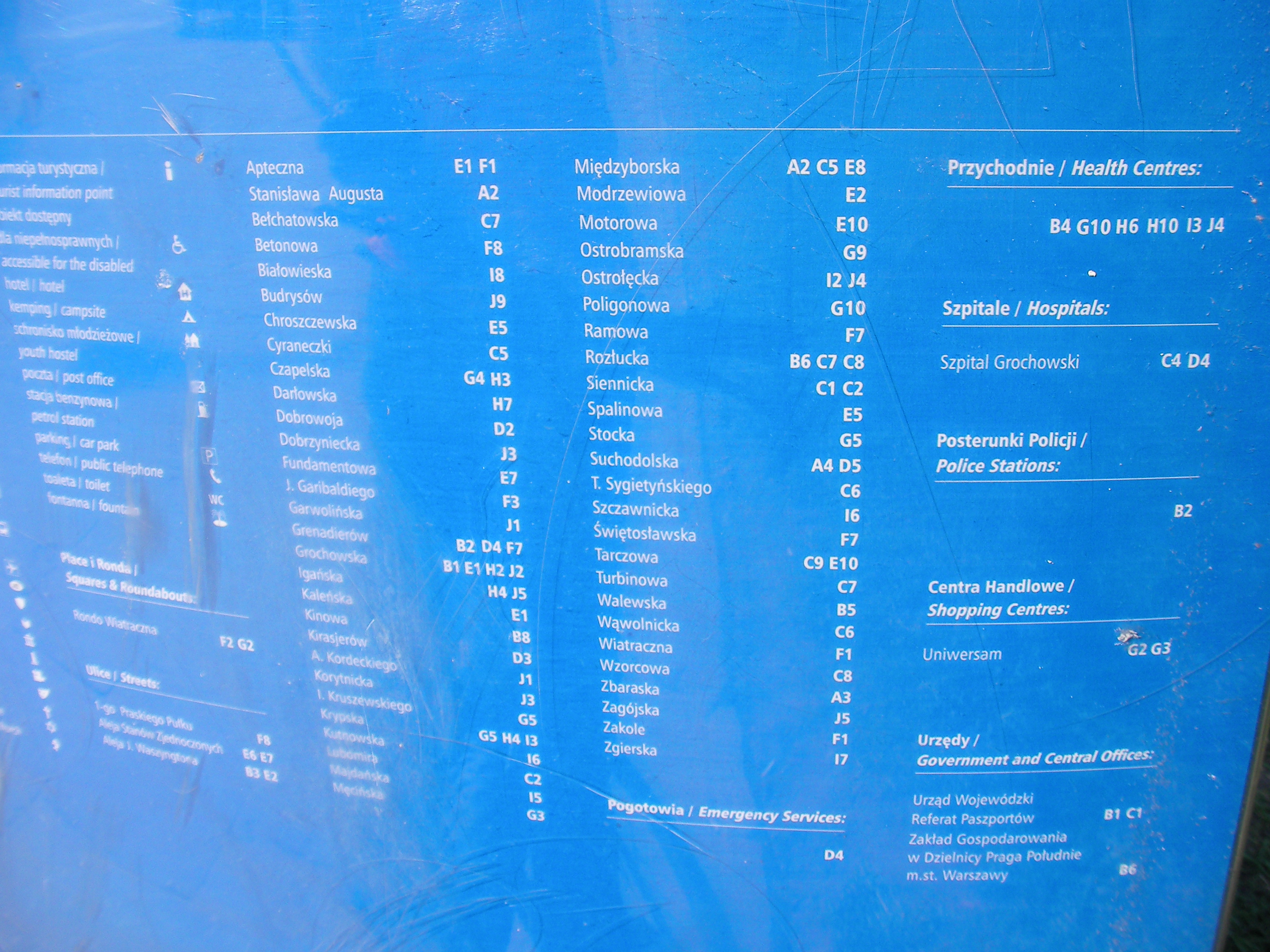
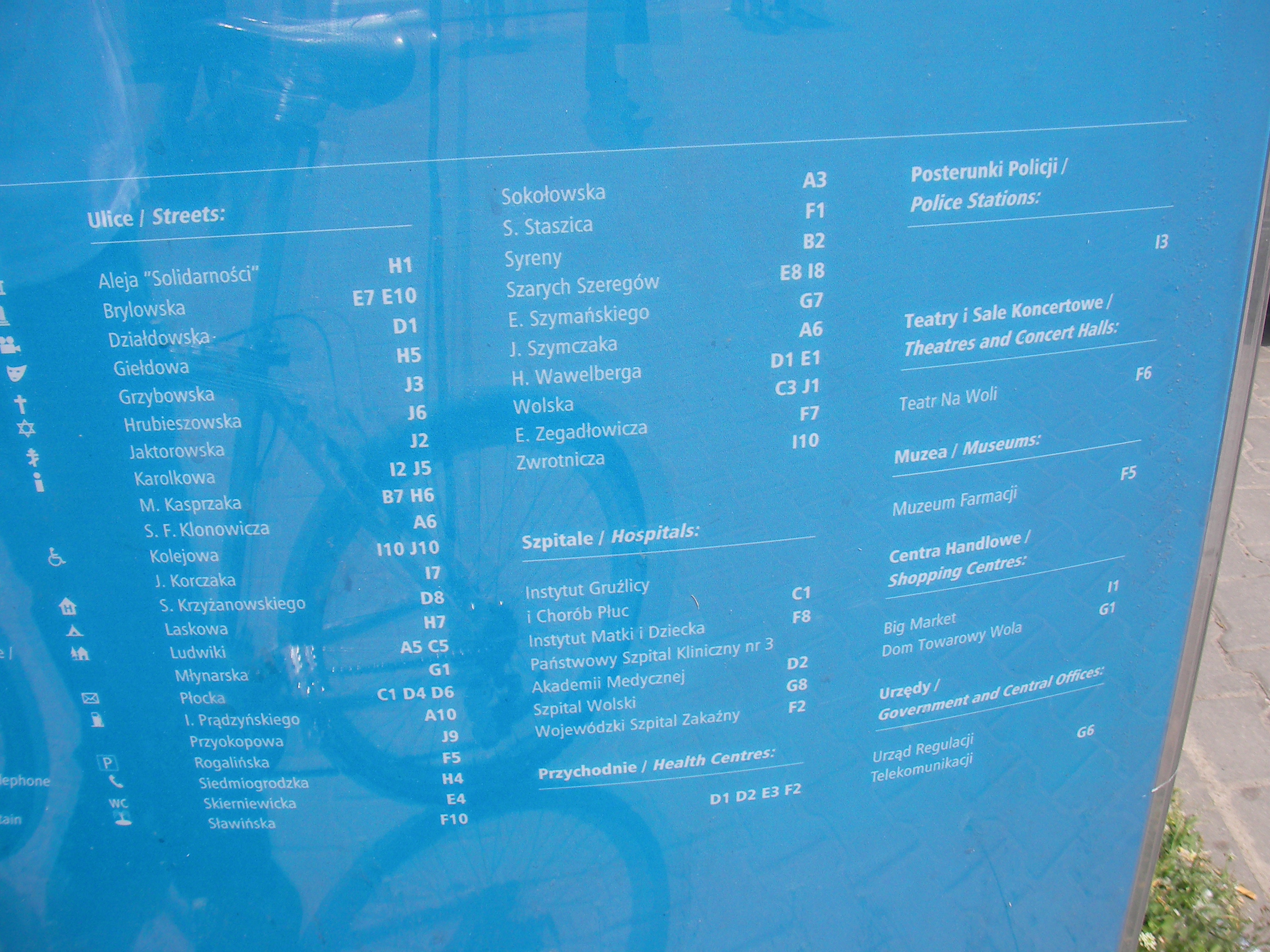
Warszawa/Źródła danych
As mentioned in Potential Datasources and Out-of-copyright maps we can use either electronic maps with compatible licenses or maps that for whatever reason are not copyrighted. It's winter in the northern hemisphere and surveying is less fun so any such sources are now more useful. Below I'll try to summarise all such sources known for Warsaw and surroundings so we can discuss the legality and access to them here, and have a single place to look for new data. Everyone is welcome to add new information, and everyone is welcome to take the data and just start mapping/importing it.
UMP
Status: can be used.
UMP is a community project like OSM that started making free maps of Poland earlier than OSM, targetting specifically the Garmin handhelds. Their license is compatible with CC-BY-SA and it seems that a lot of the data UMP had collected has already been imported for the region of Warsaw.
Unfortunately it is currently unclear whether data imported under the terms of CC-BY-SA (including UMP data) will be carried over the Open Data License switch.
Yahoo! Aerial Imagery
Yahoo has a detailed coverage of a weird-shaped region that includes Warsaw and nearby towns. It is as far as I can tell very well calibrated but the imagery is at least as old as year 2000. I encourage using Yahoo for tracing over the imagery in places that you know or where no more current data is present in OSM. It's especially useful for drawing buildings outlines.
There's the question of whether we want buildings on the map of Warsaw at all, since they're not very useful for automated navigation. The usages of OSM are not limited to automated navigation, it doesn't even seem to be the dominating idea right now. I'd say mapping buildings, especially combined with addressing information can be very useful. So far I've been drawing buildings in some districts of Warsaw but only in cases where I knew the address data or other interesting data about a building. This way it's easy to spot buildings that are still missing data (because they're visible on aerial photography and aren't on the map).
I guess any information that may be used for searching for a location (similar to the address search on Google Maps) will be useful to upload. See tags for address information and other attributes for buildings.
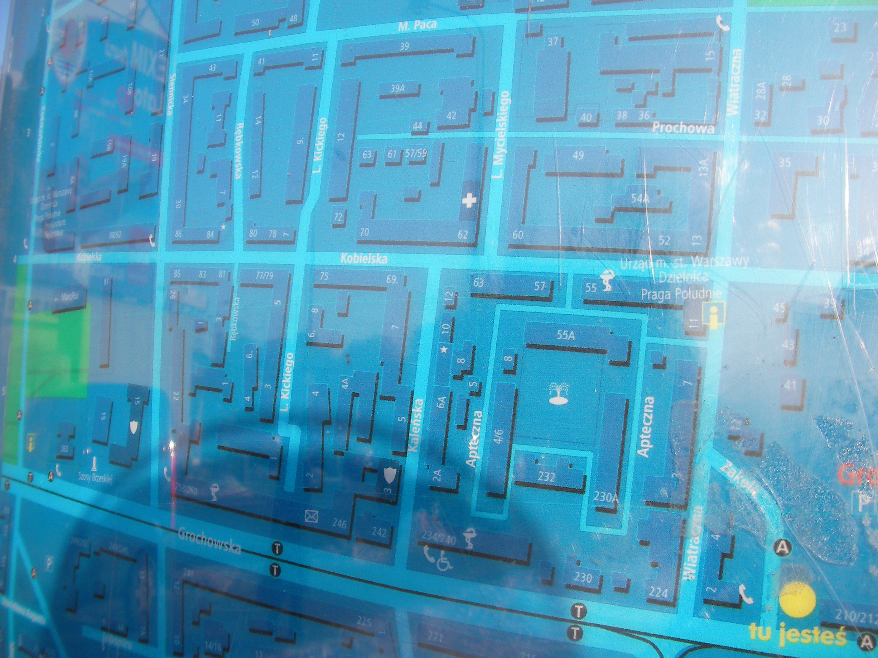
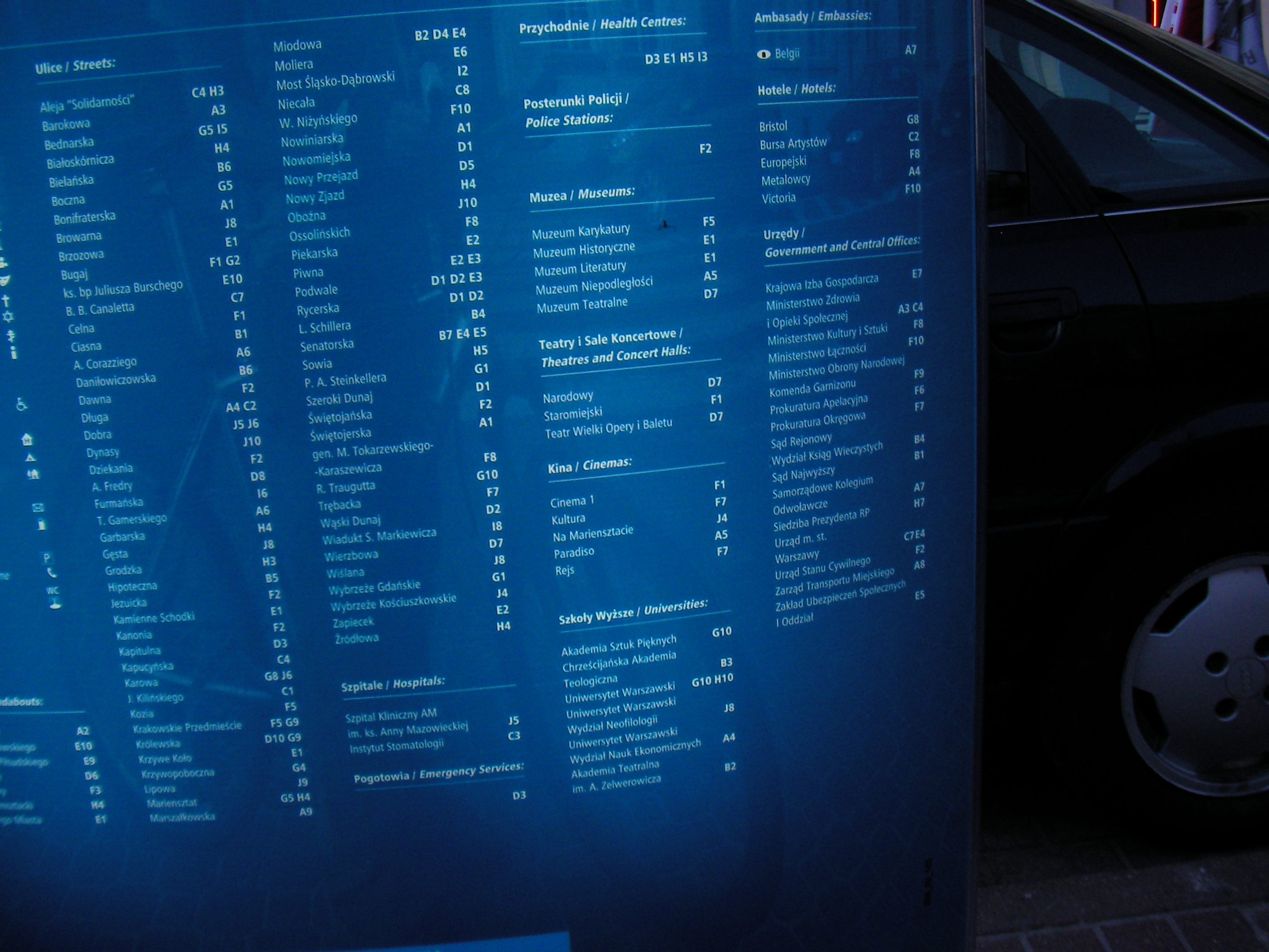
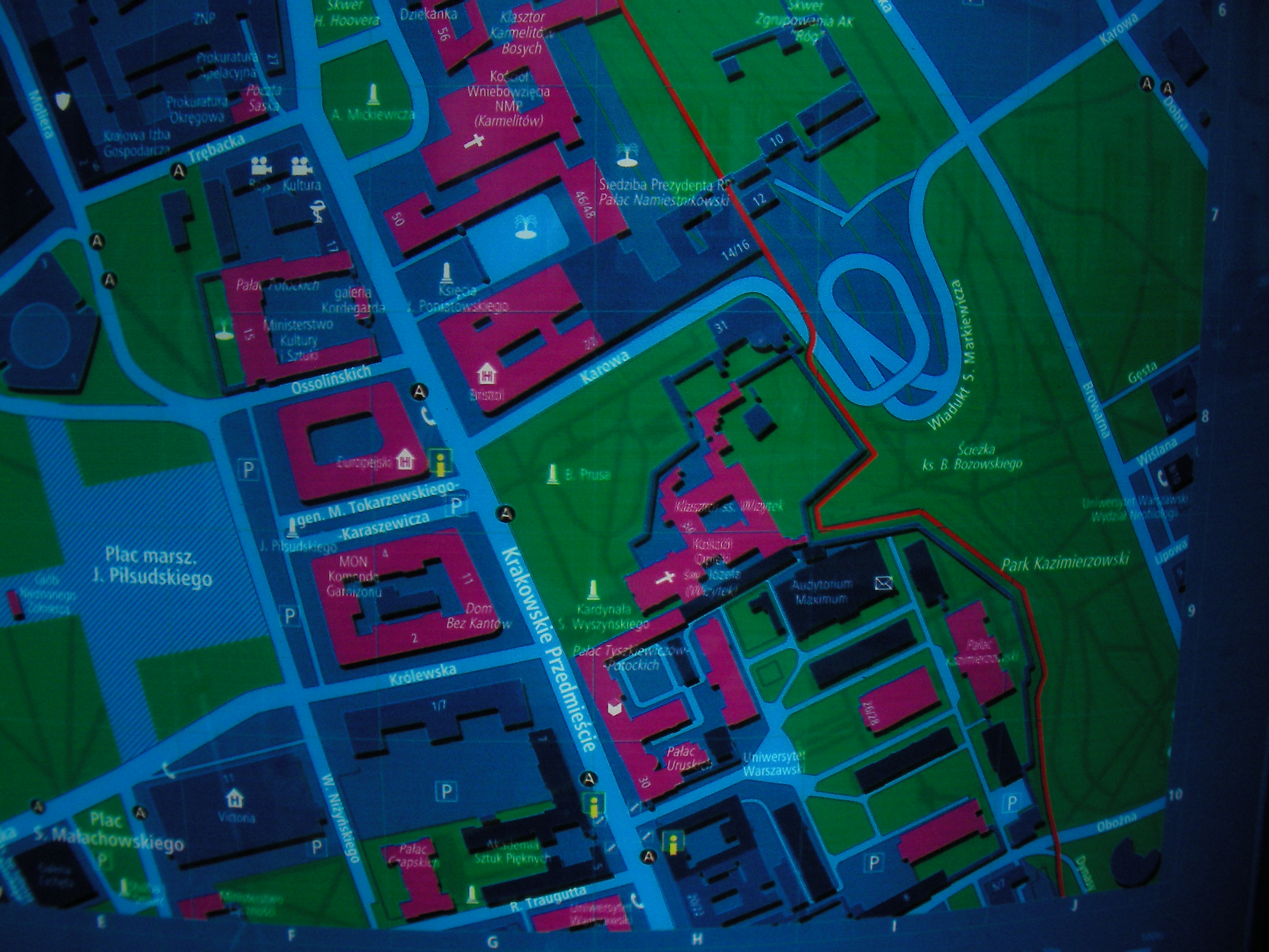
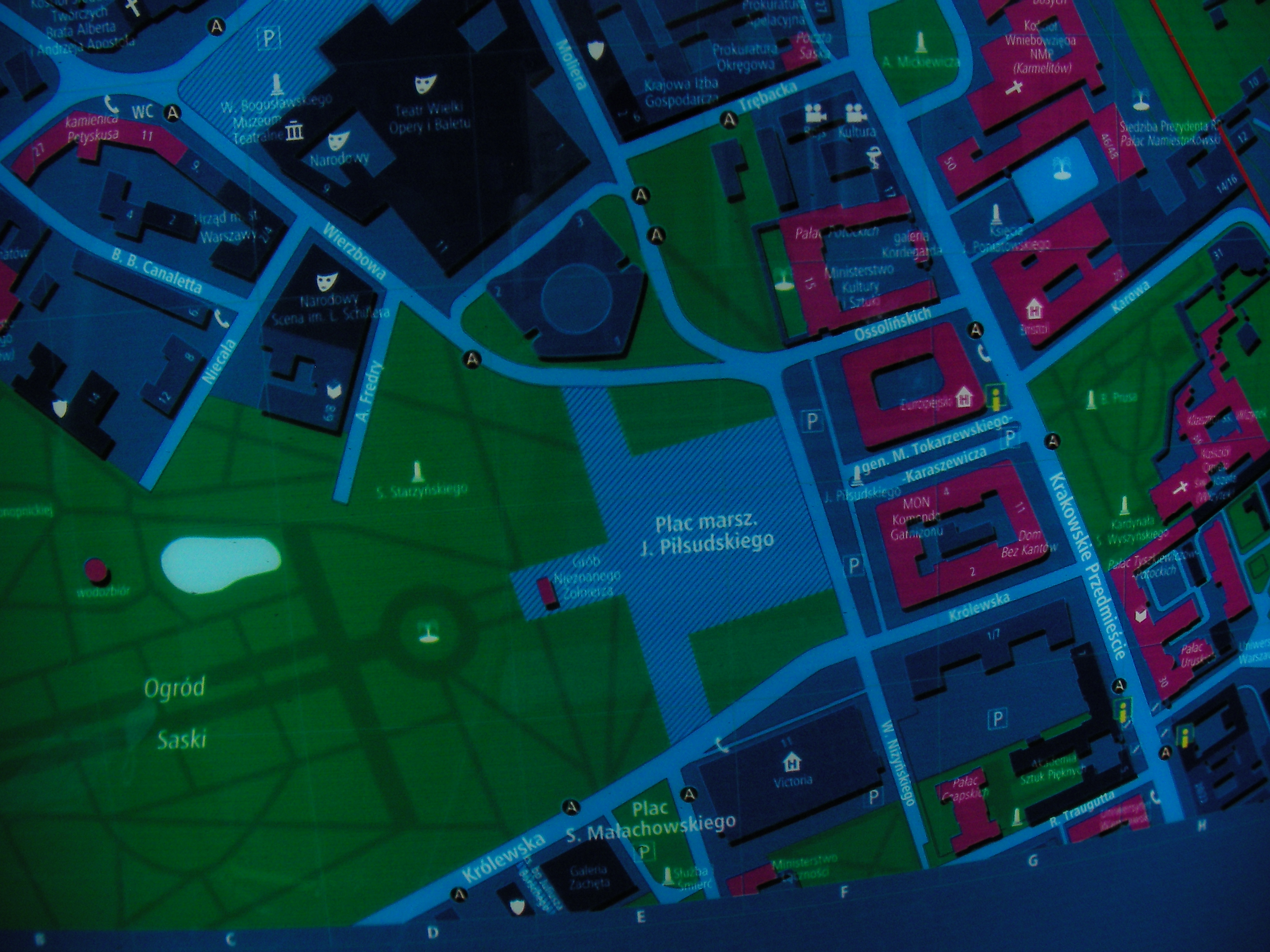
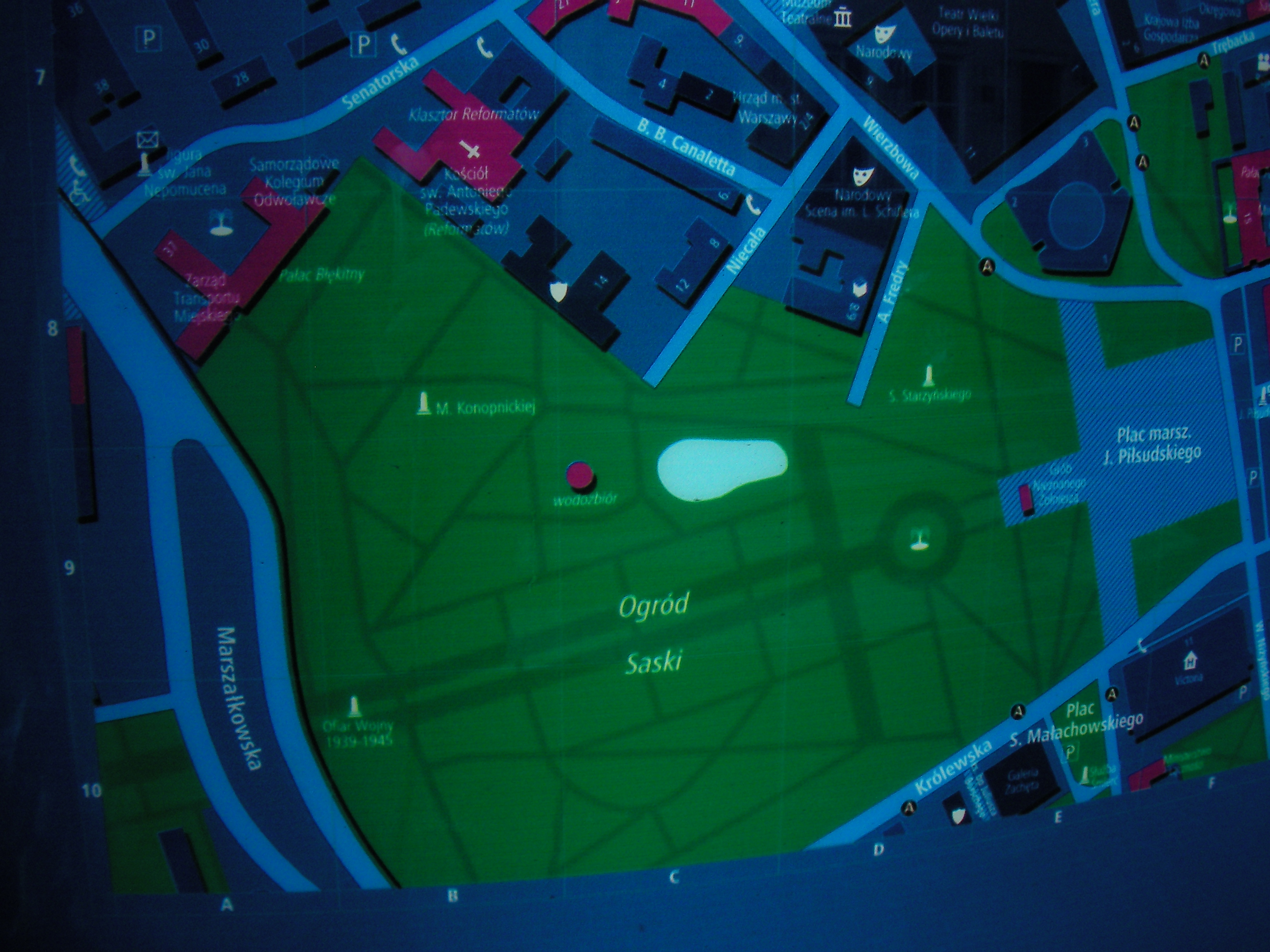
MSI and public maps
Status: can be used.
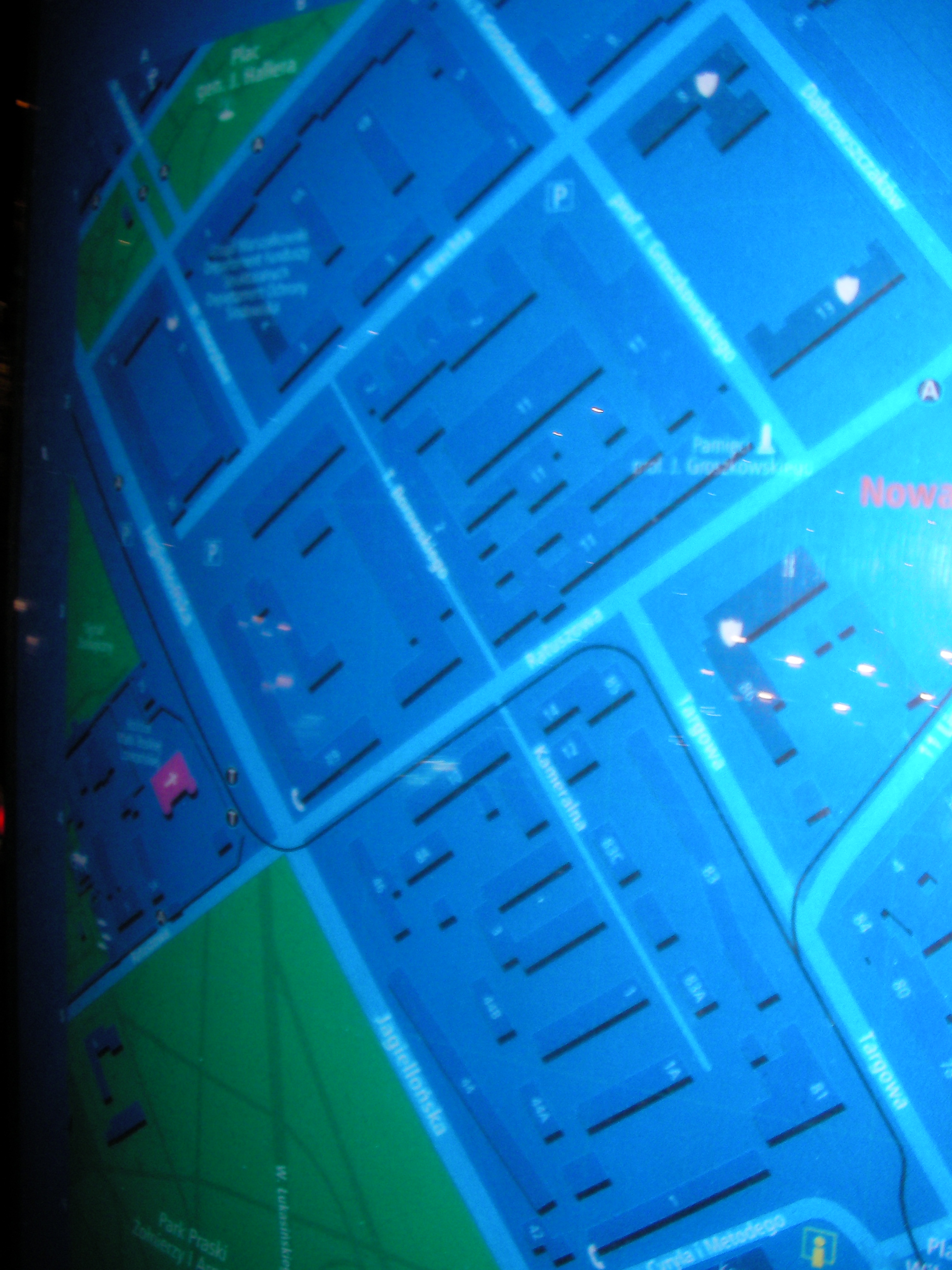
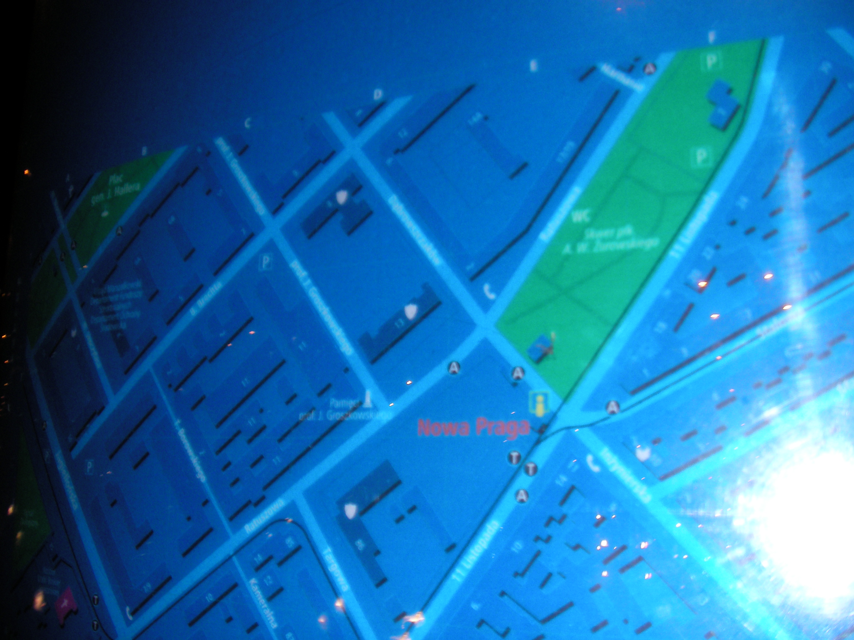
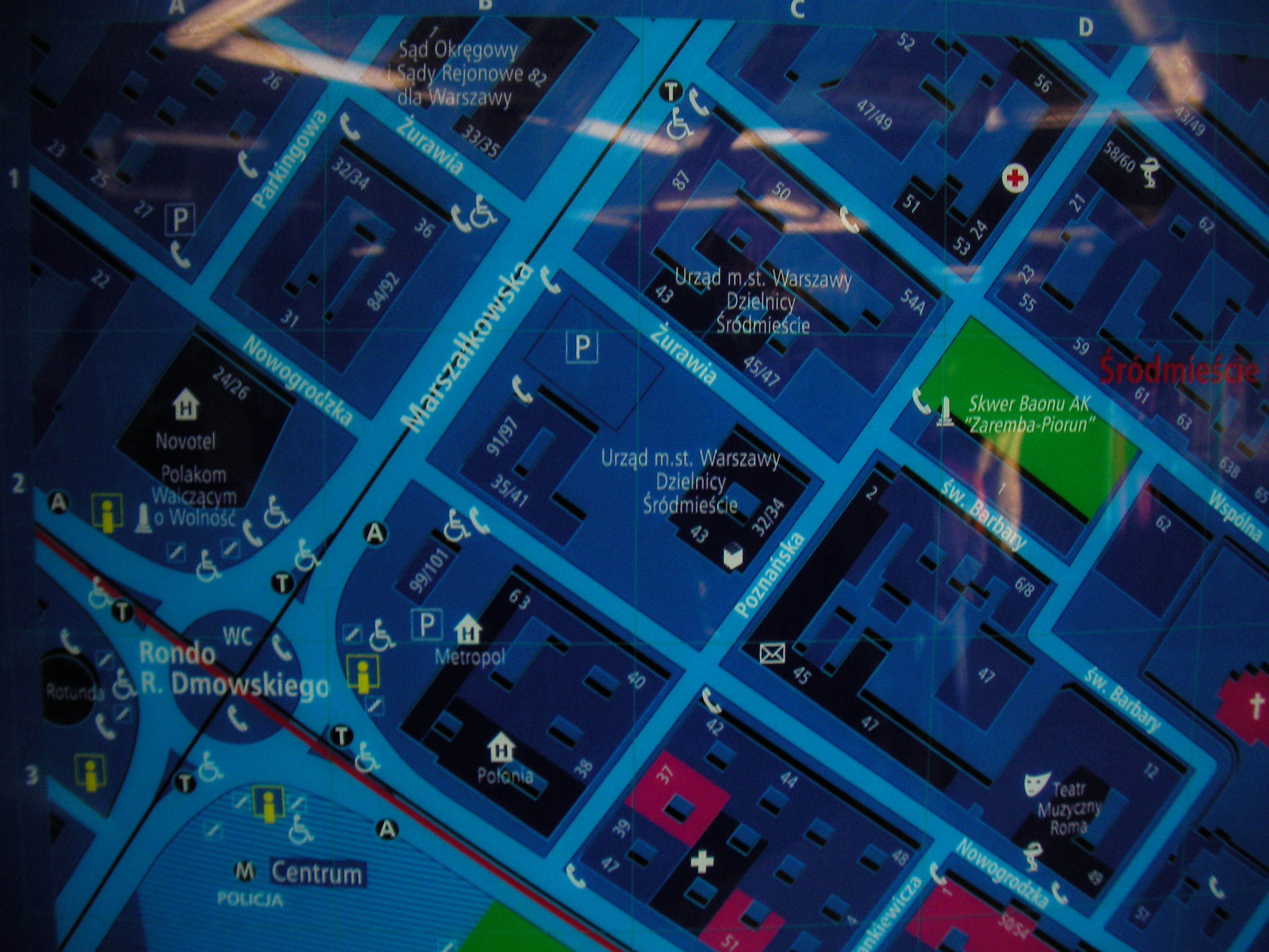
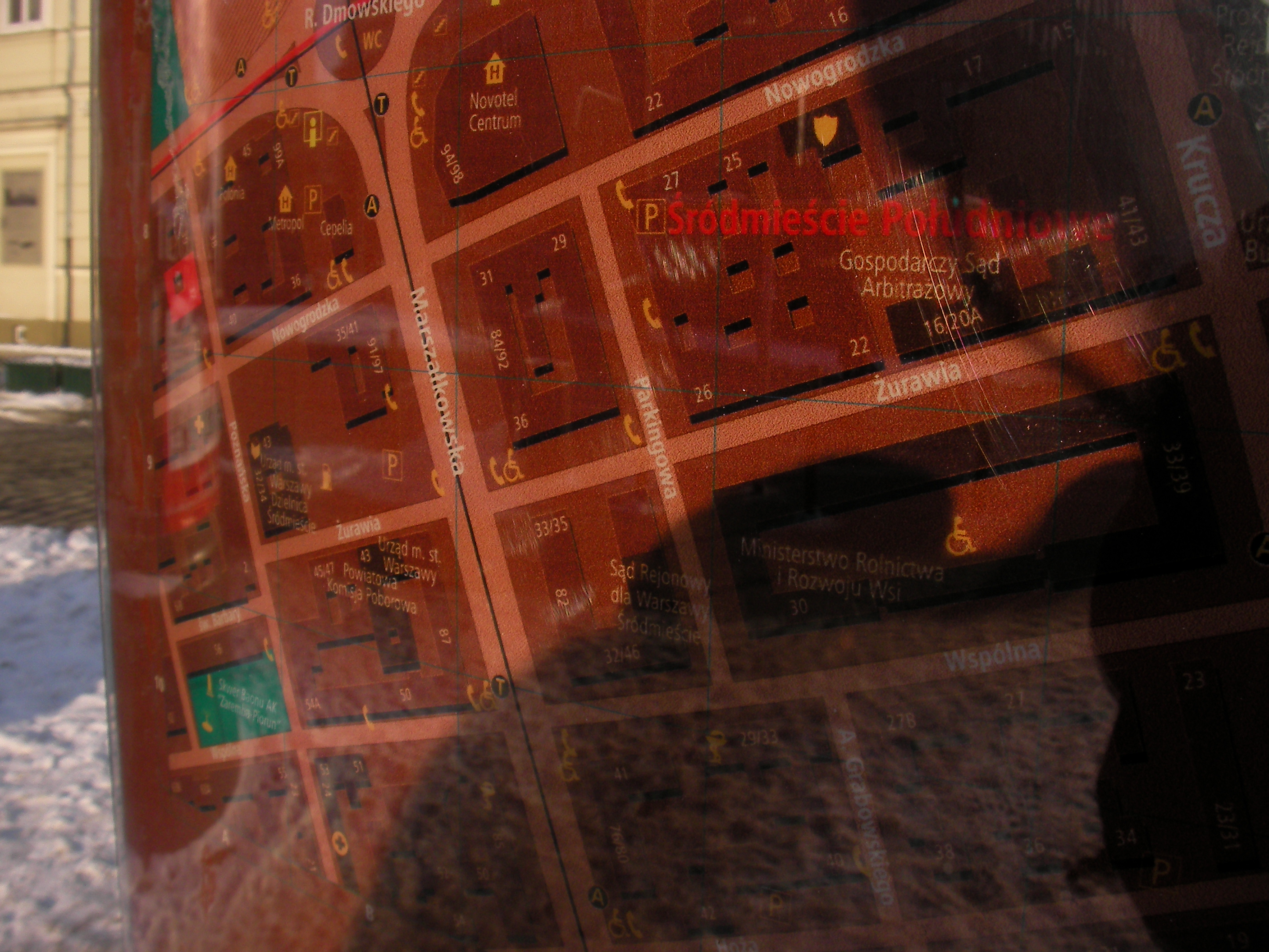
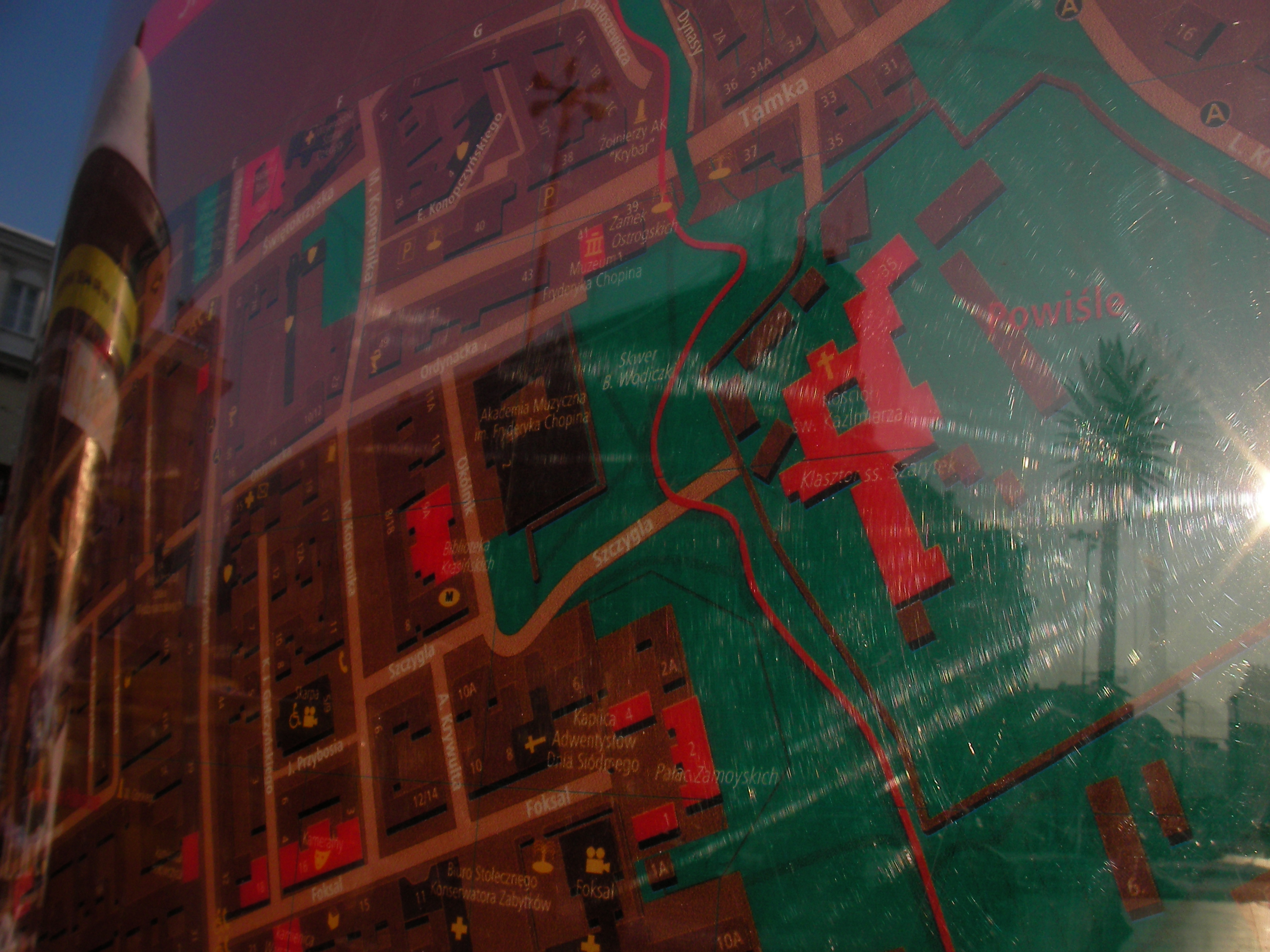
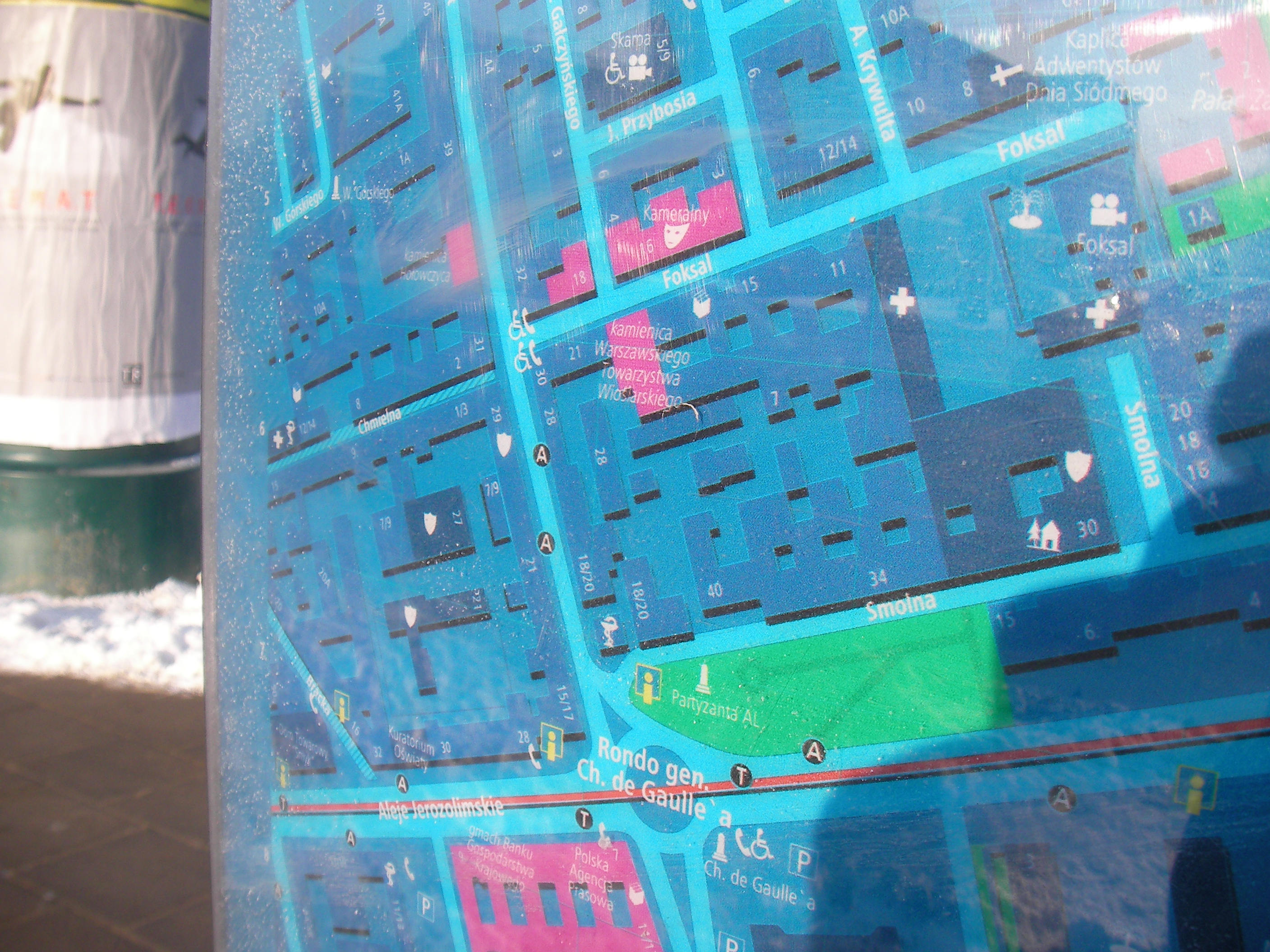
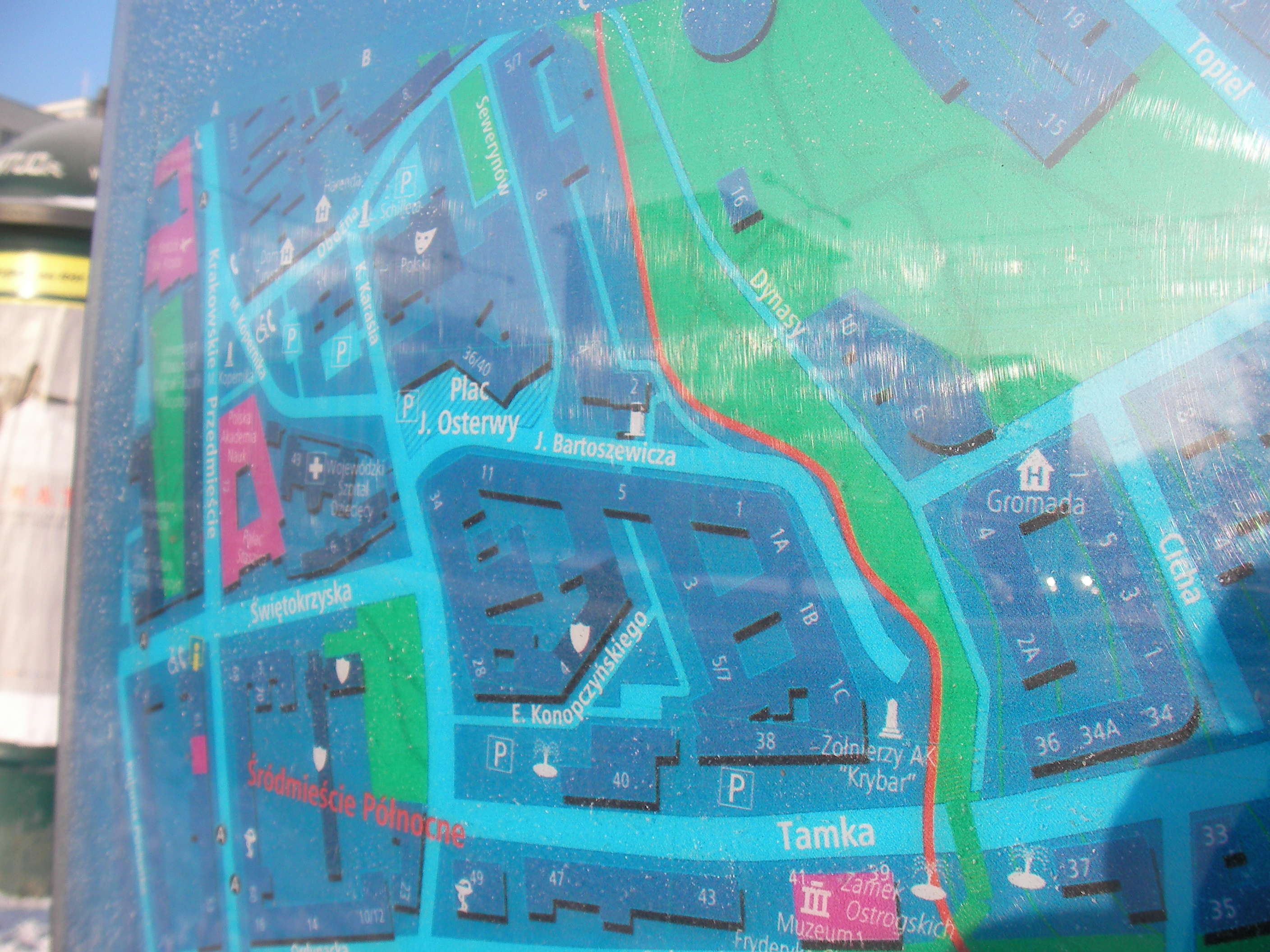
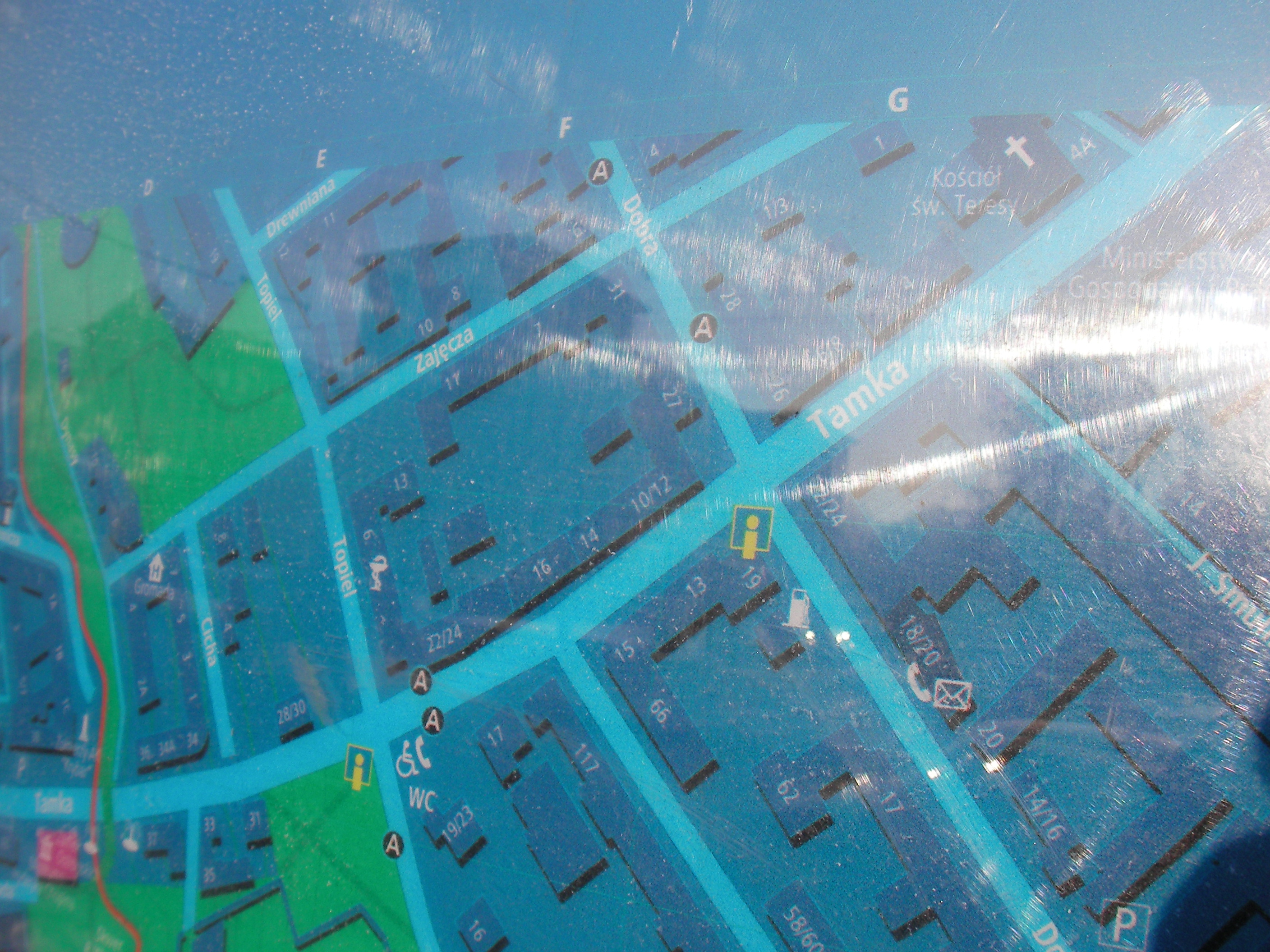
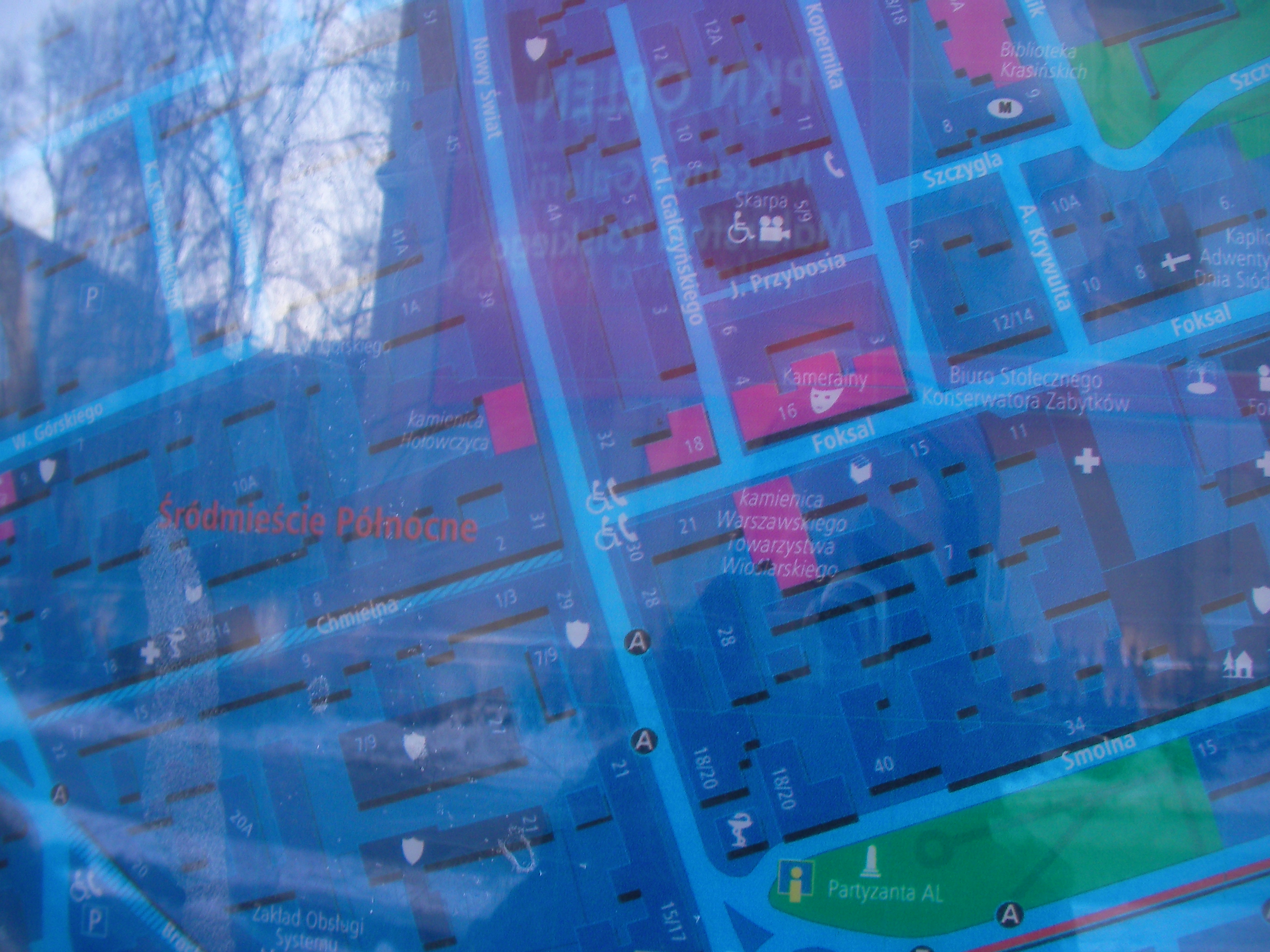
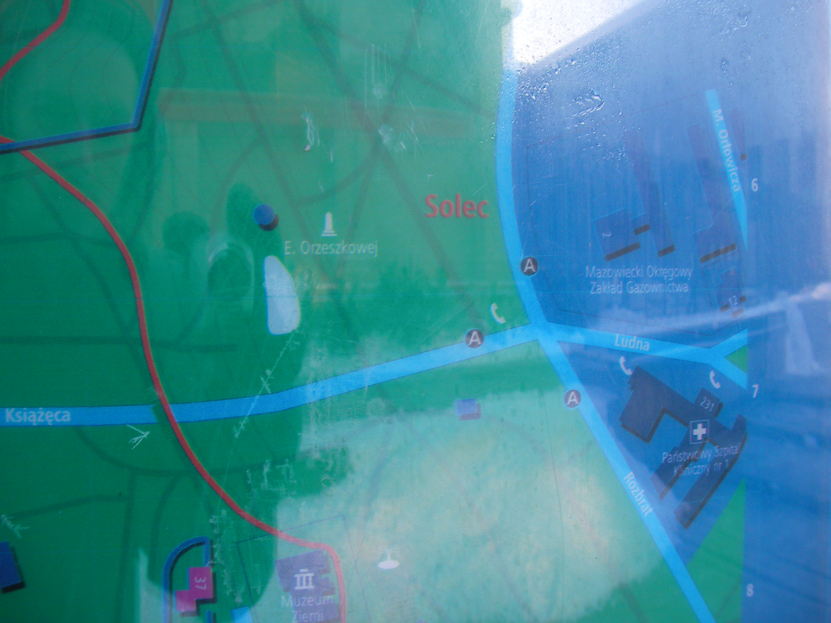
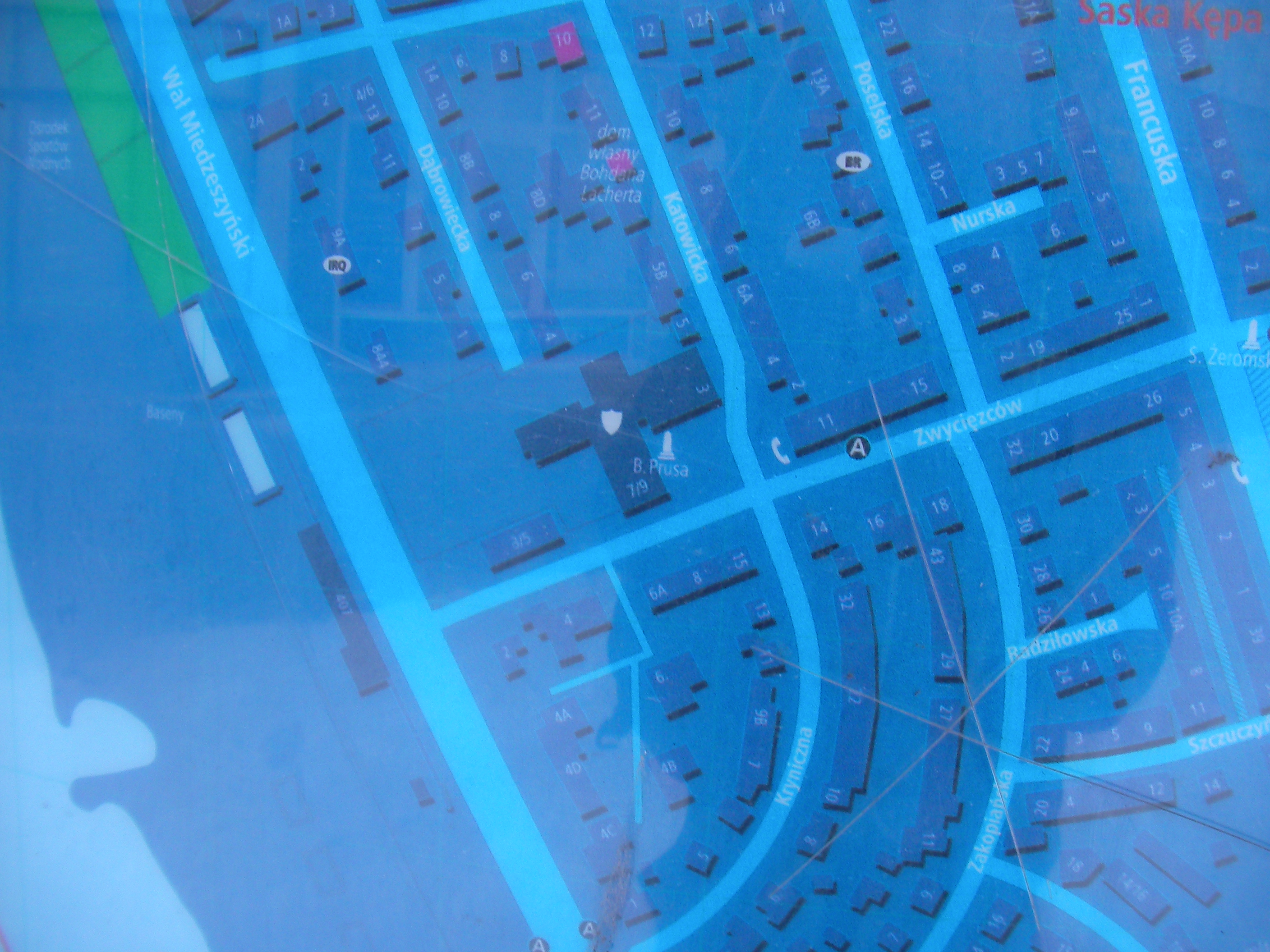
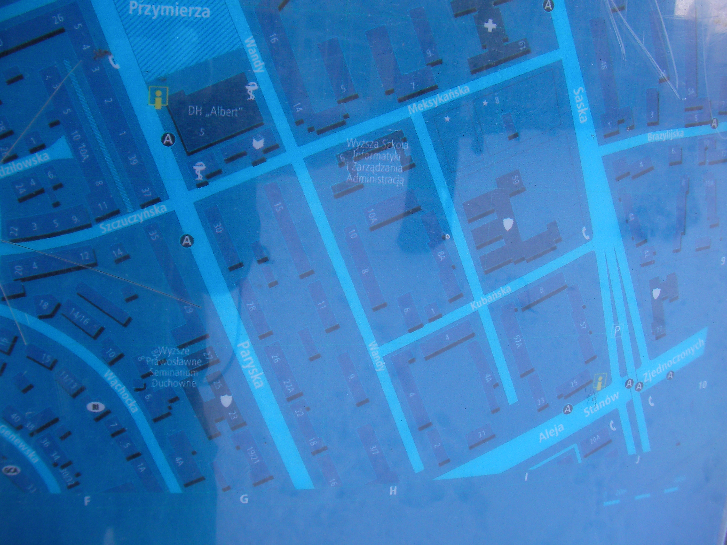
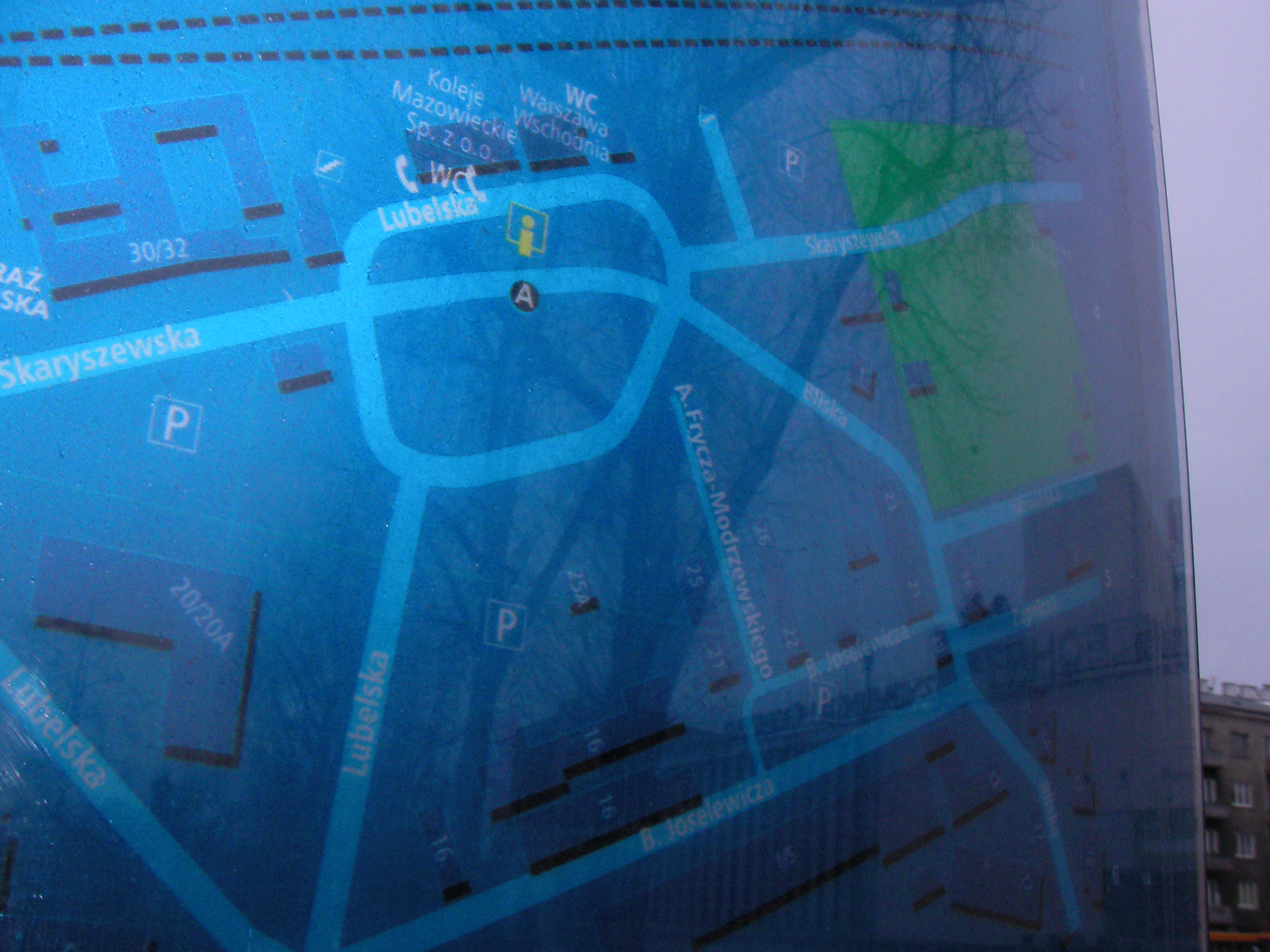
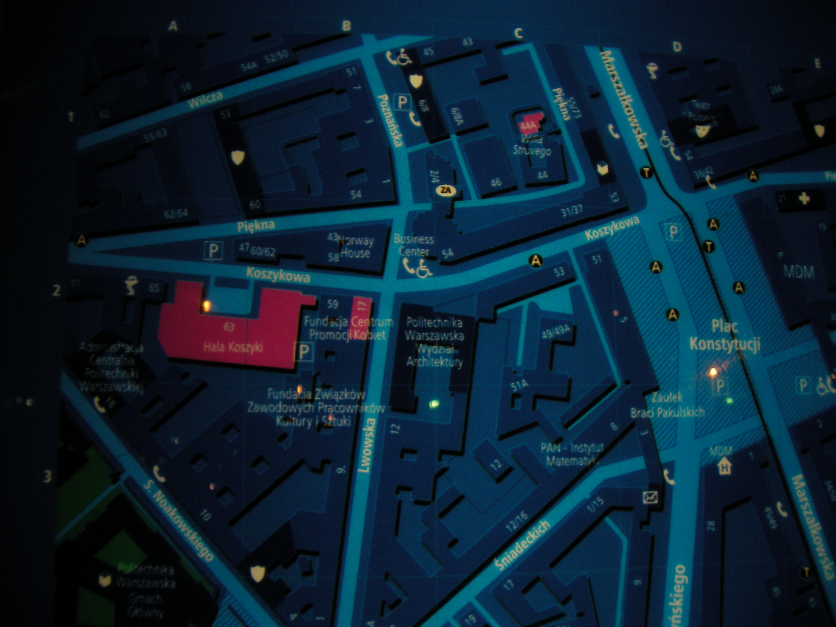
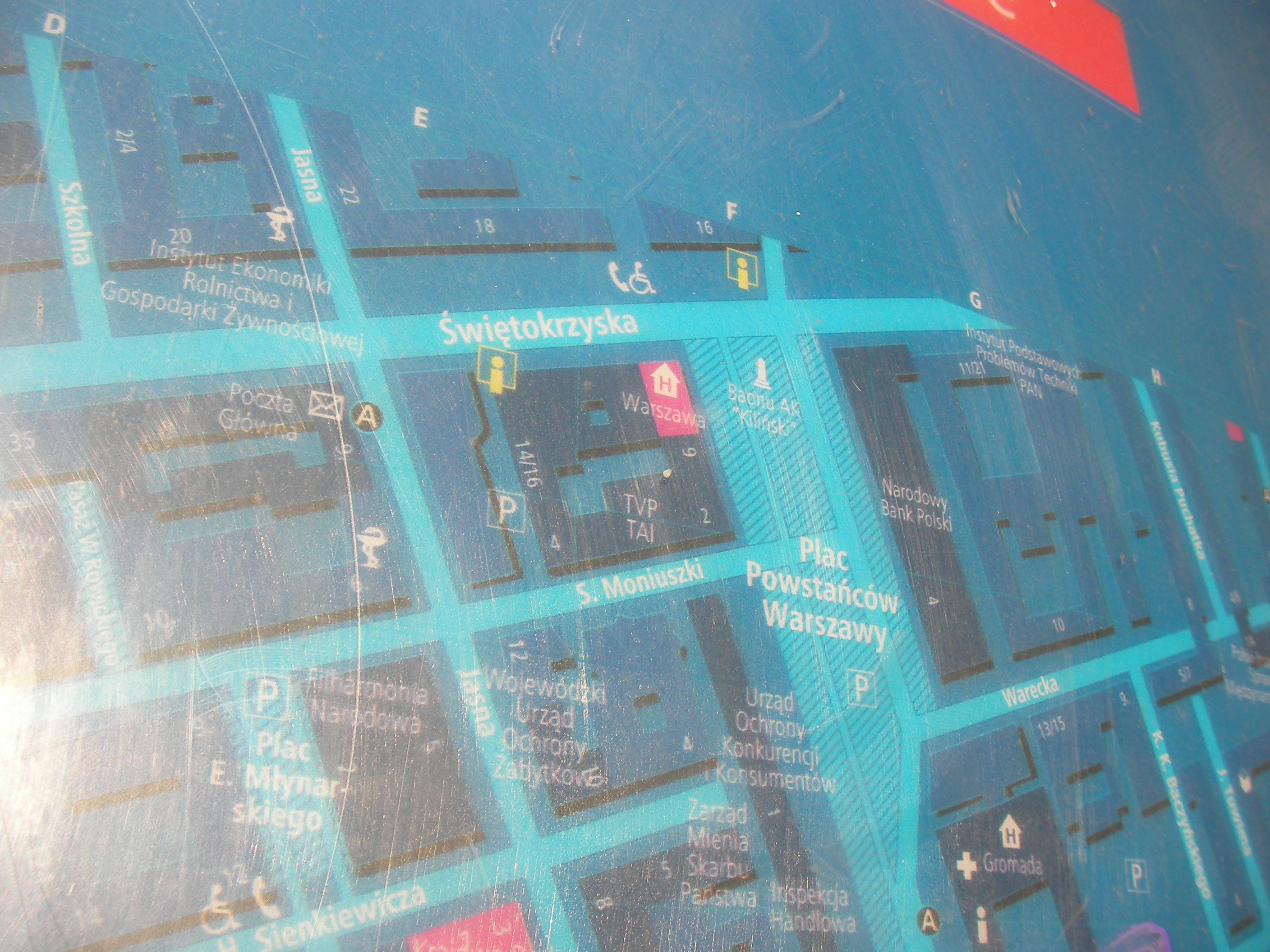
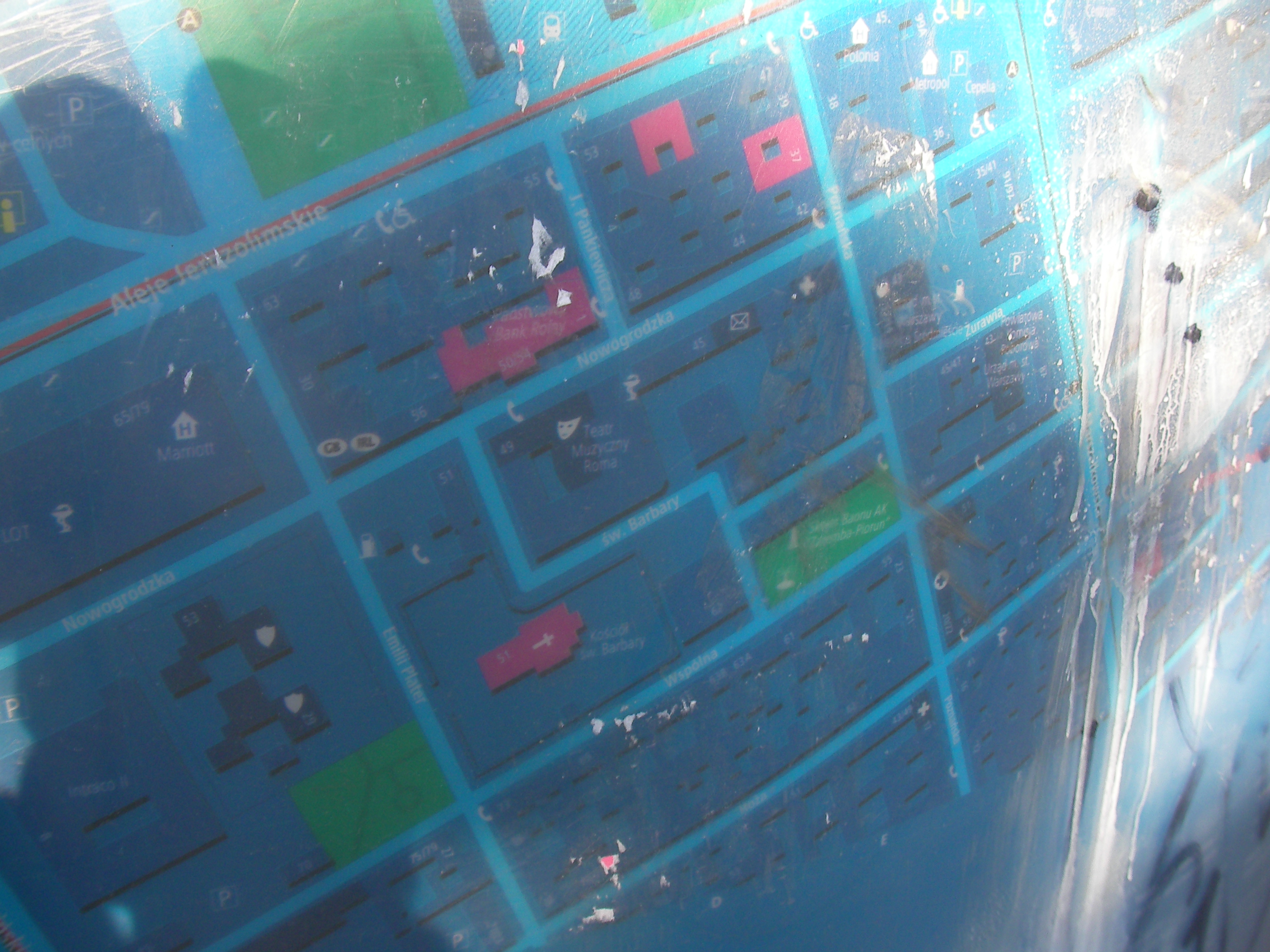
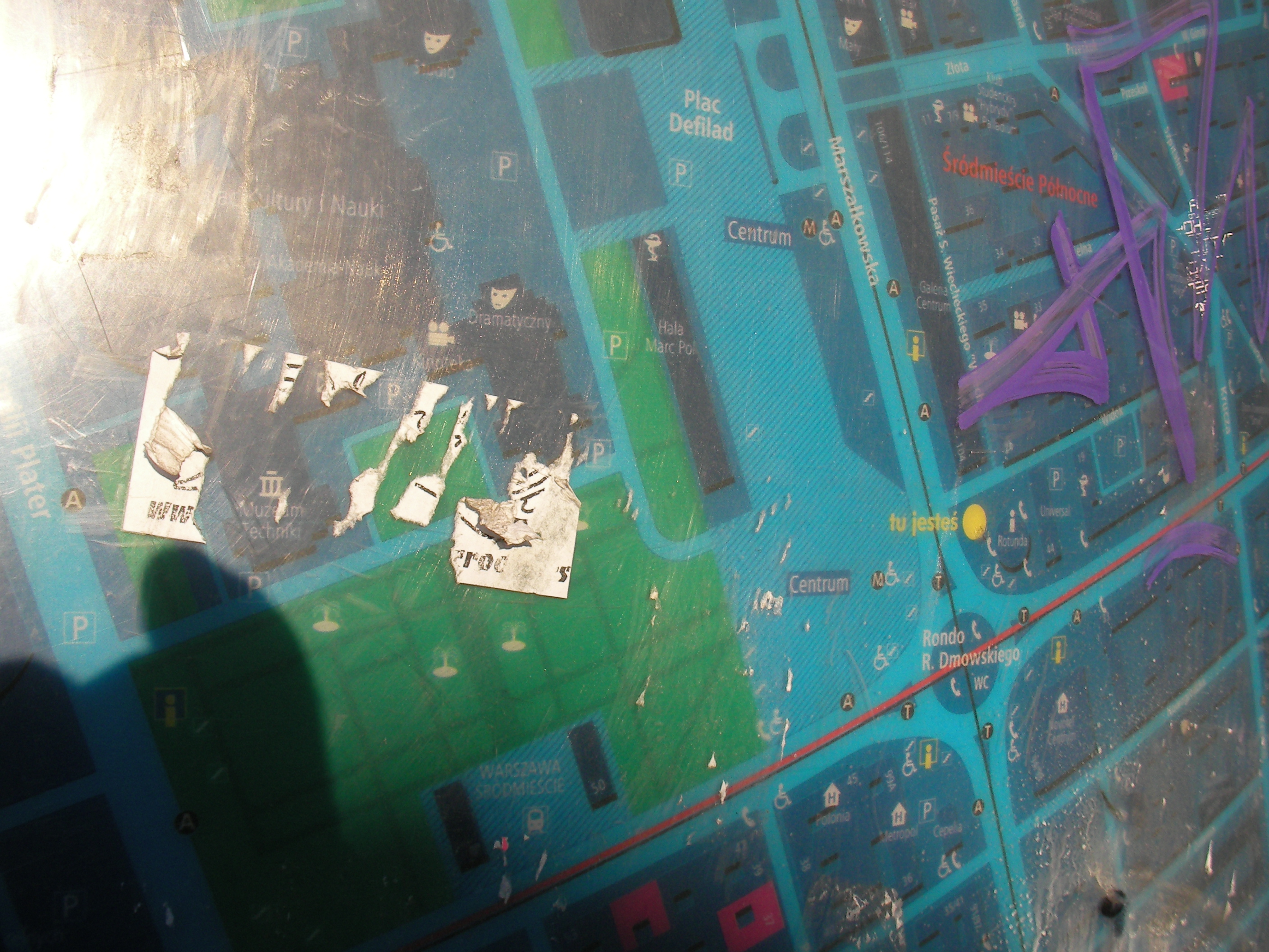
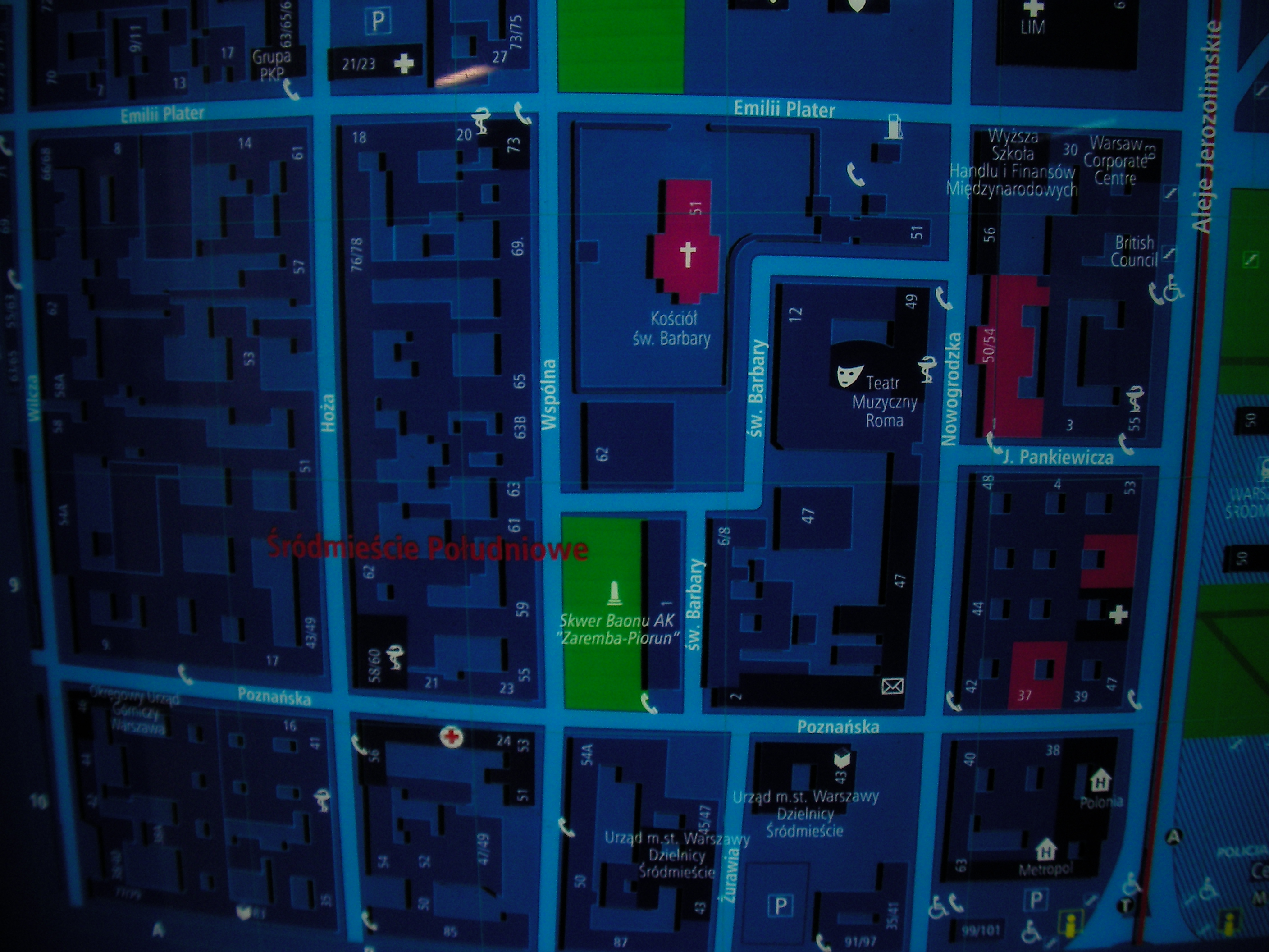
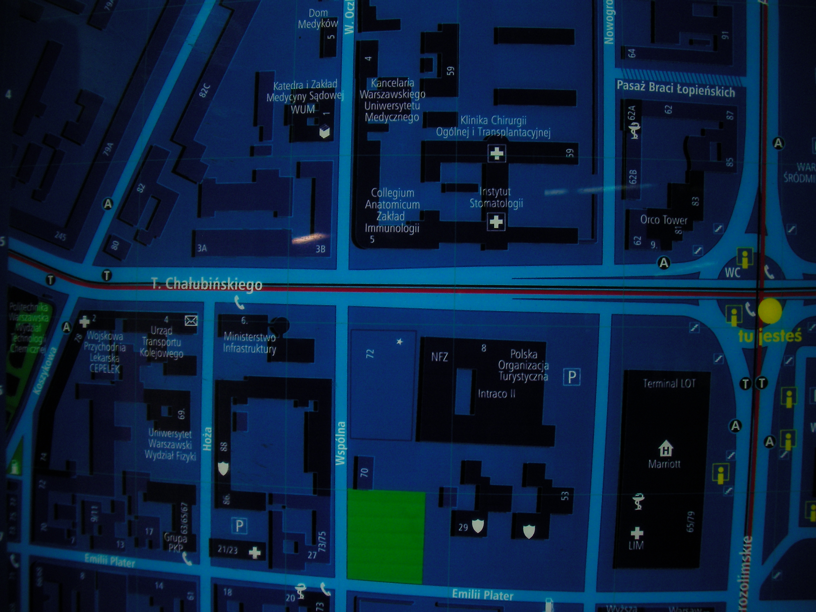
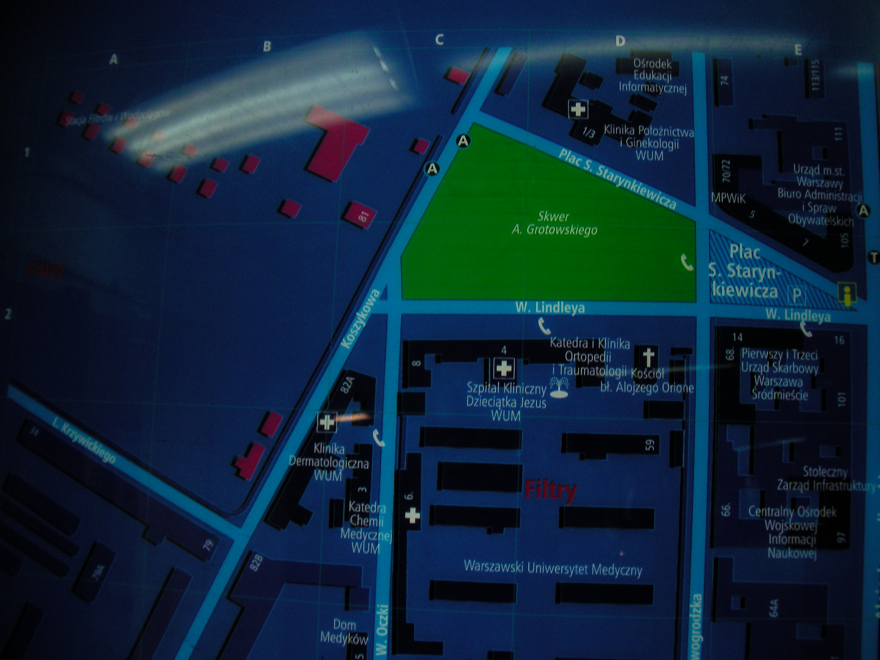
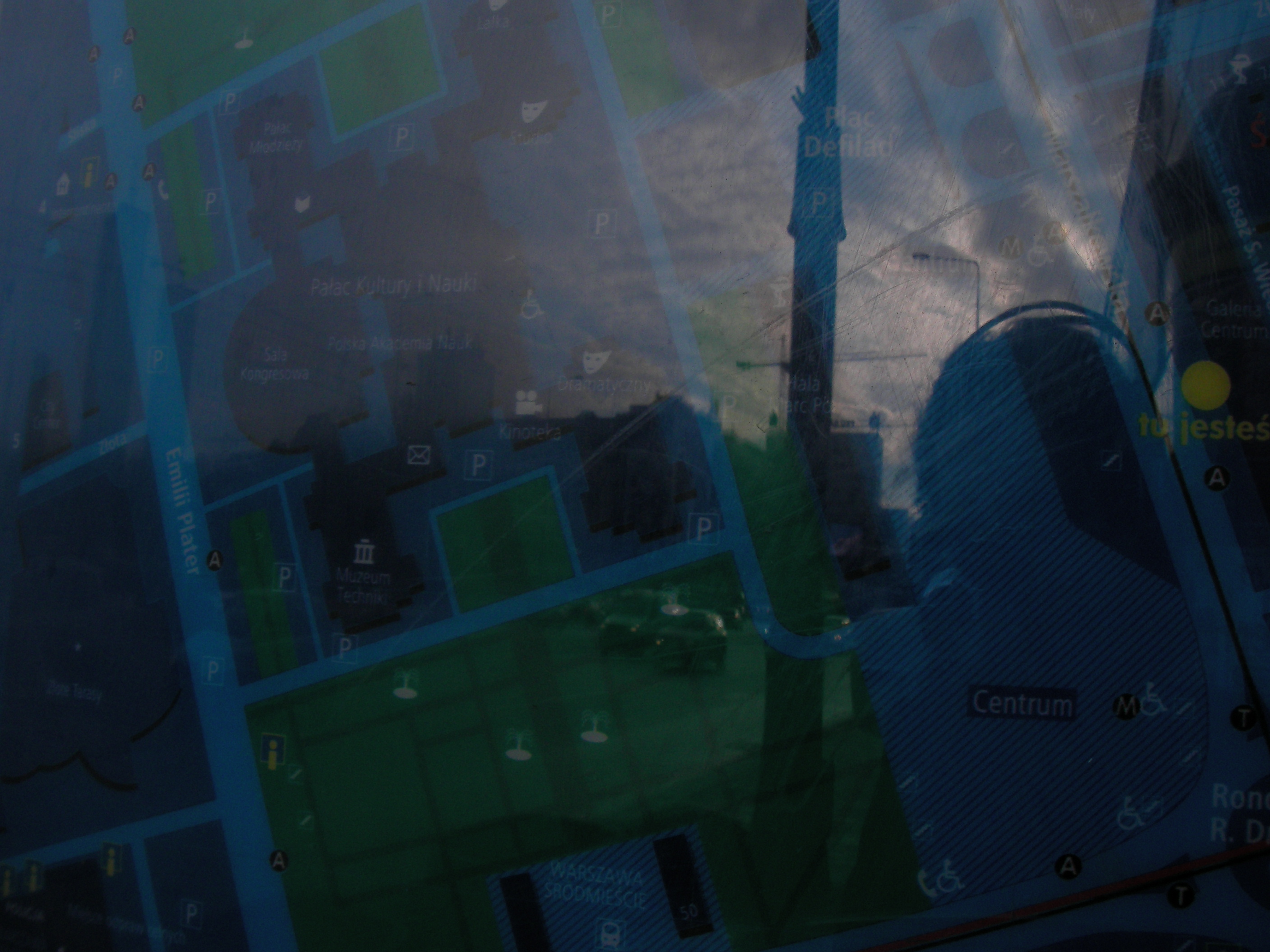
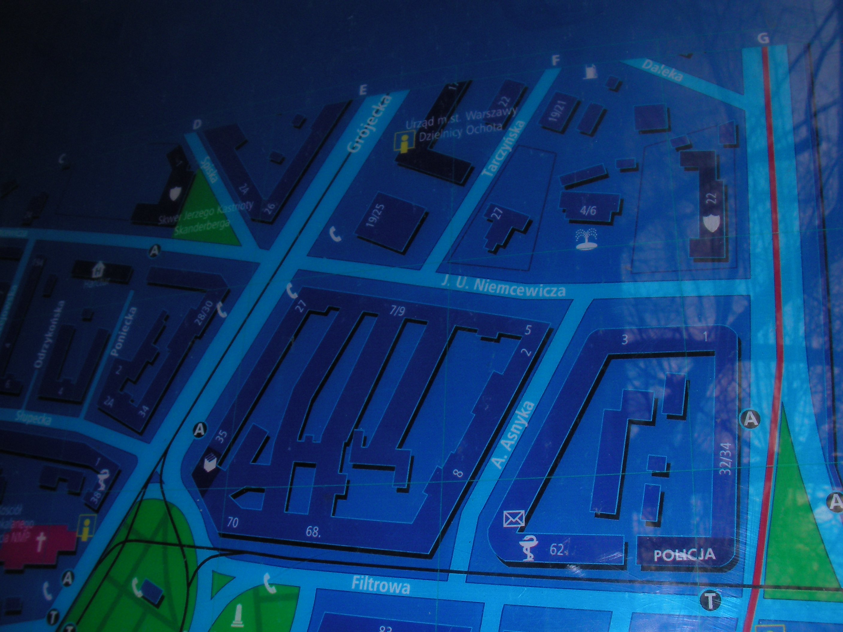
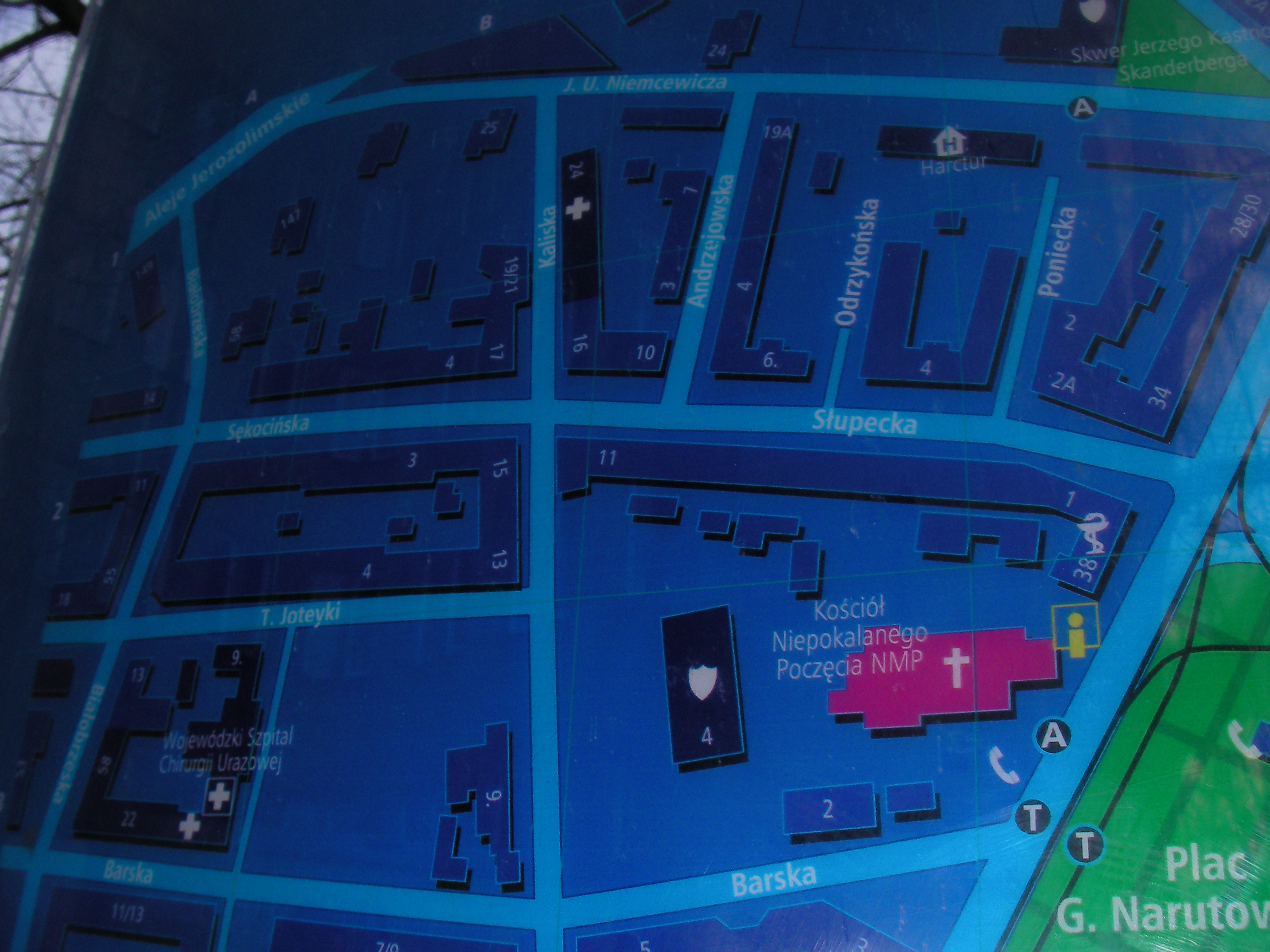
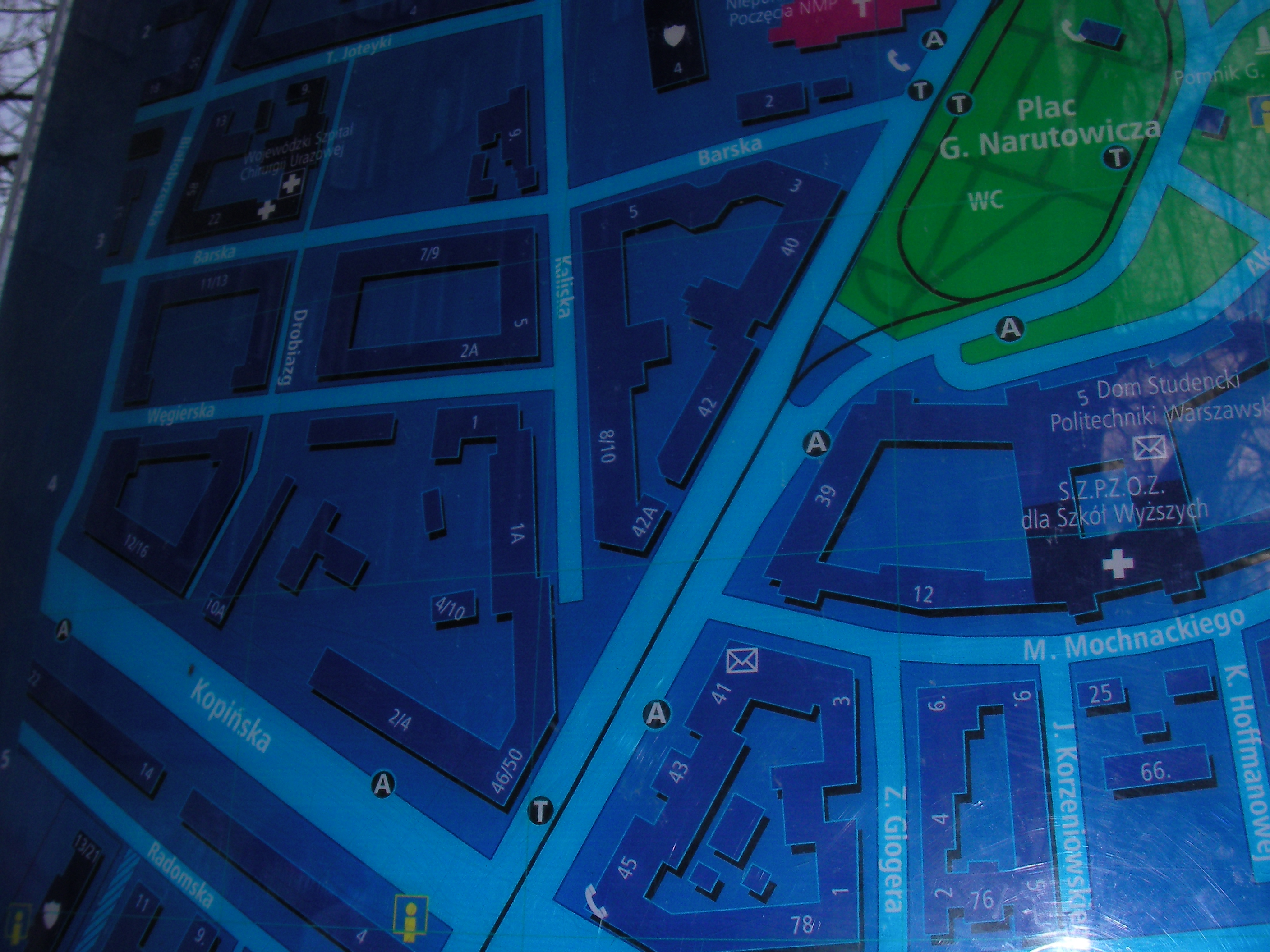
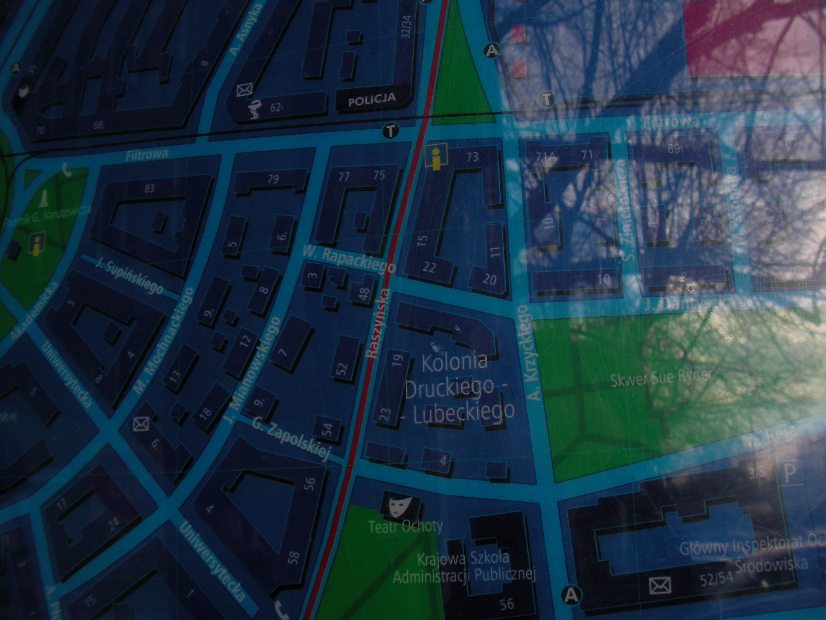
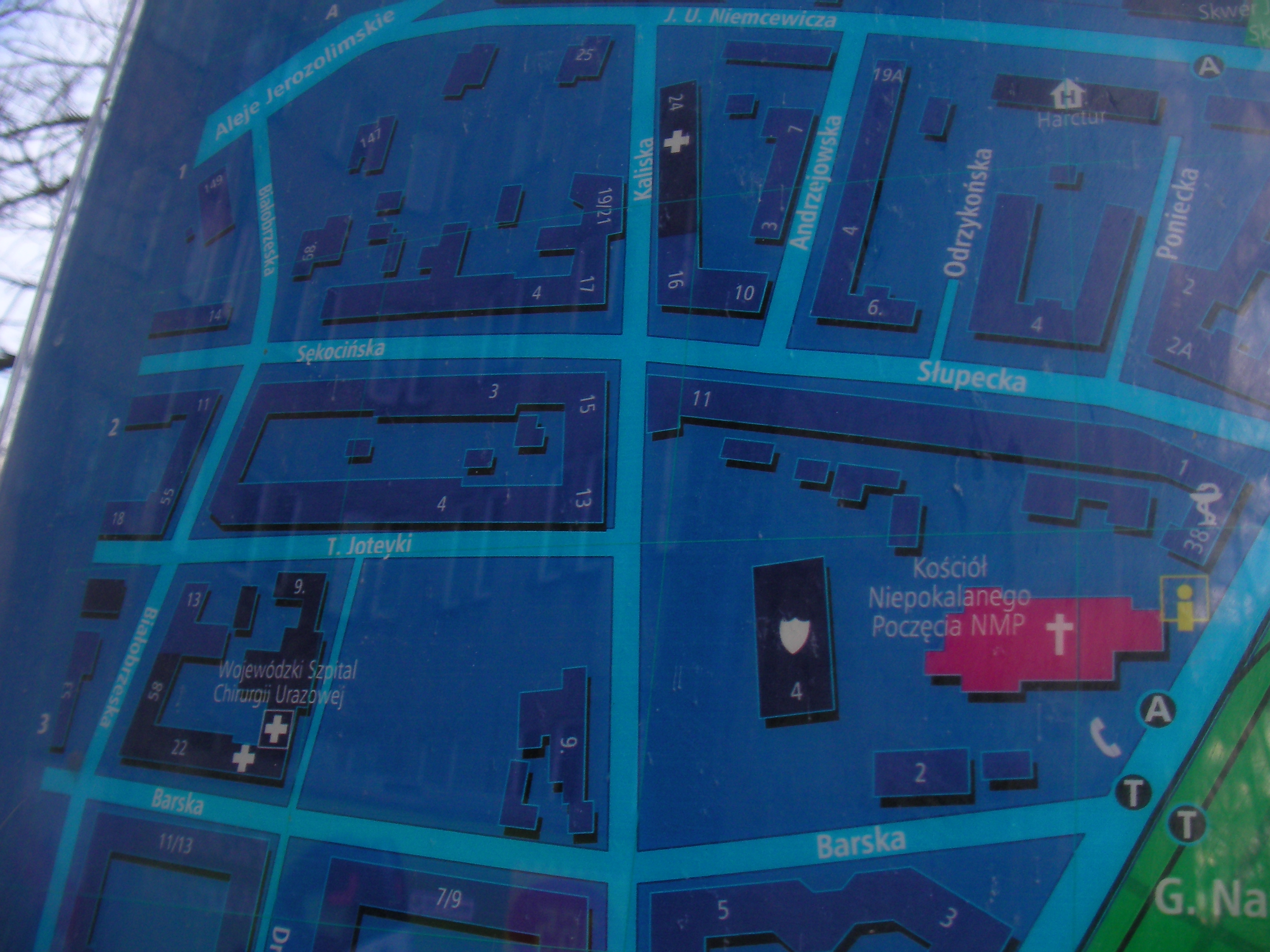
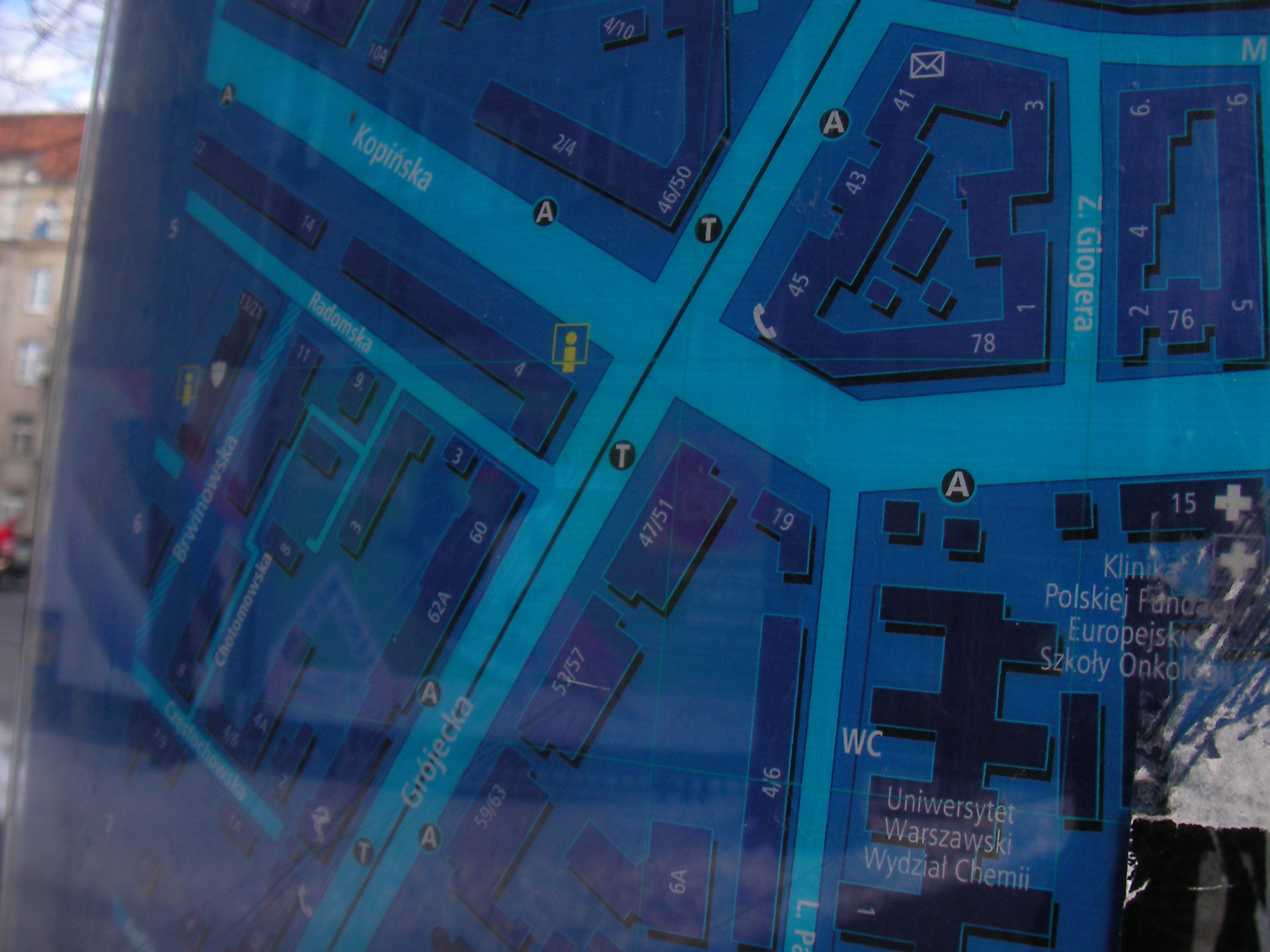
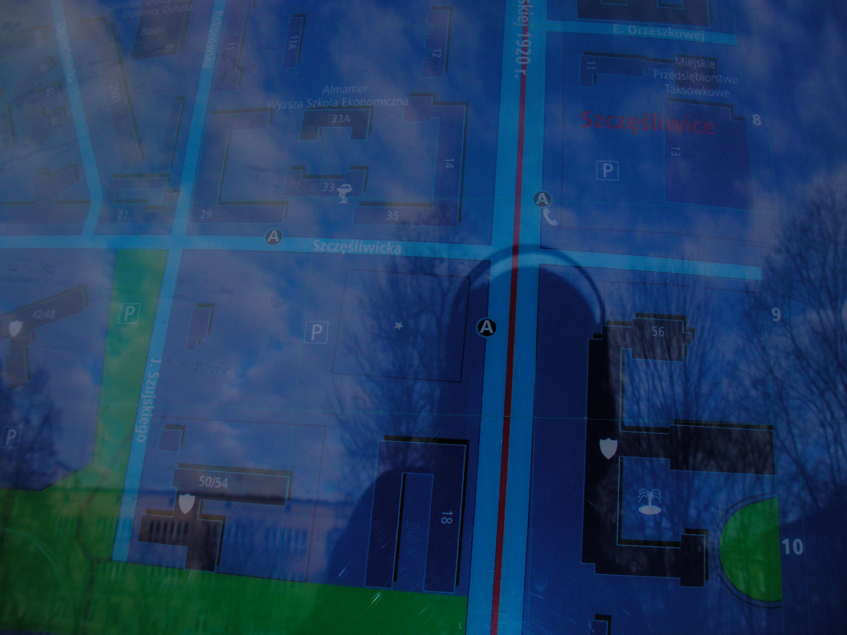
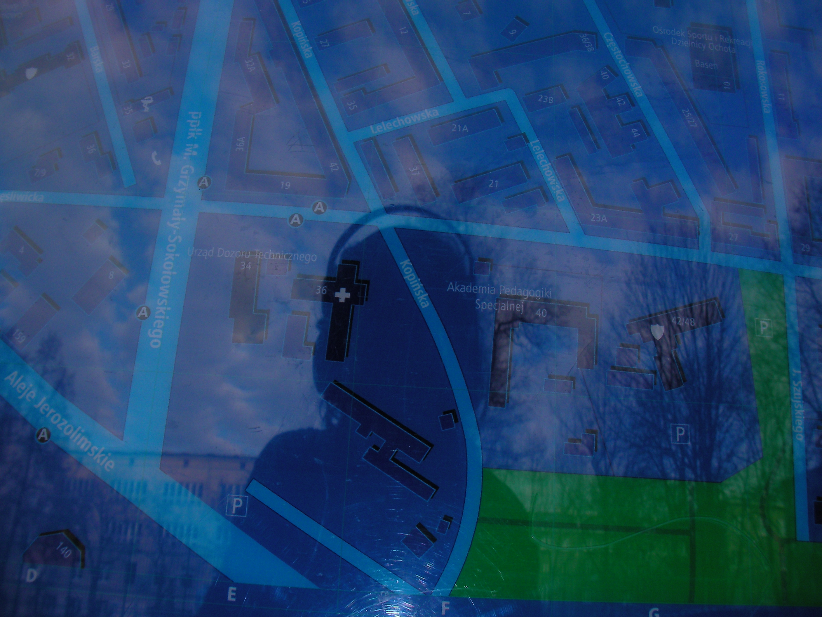
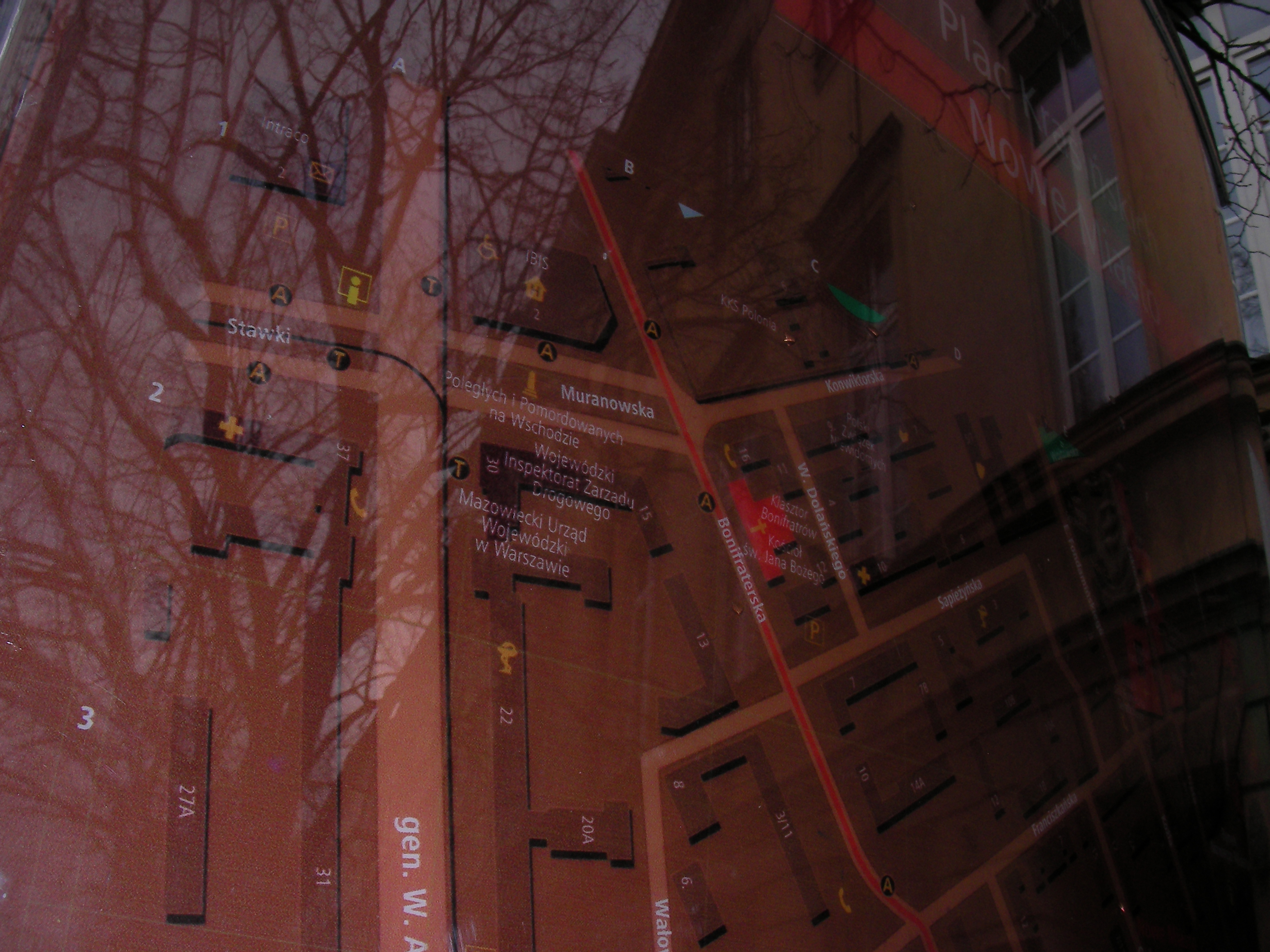
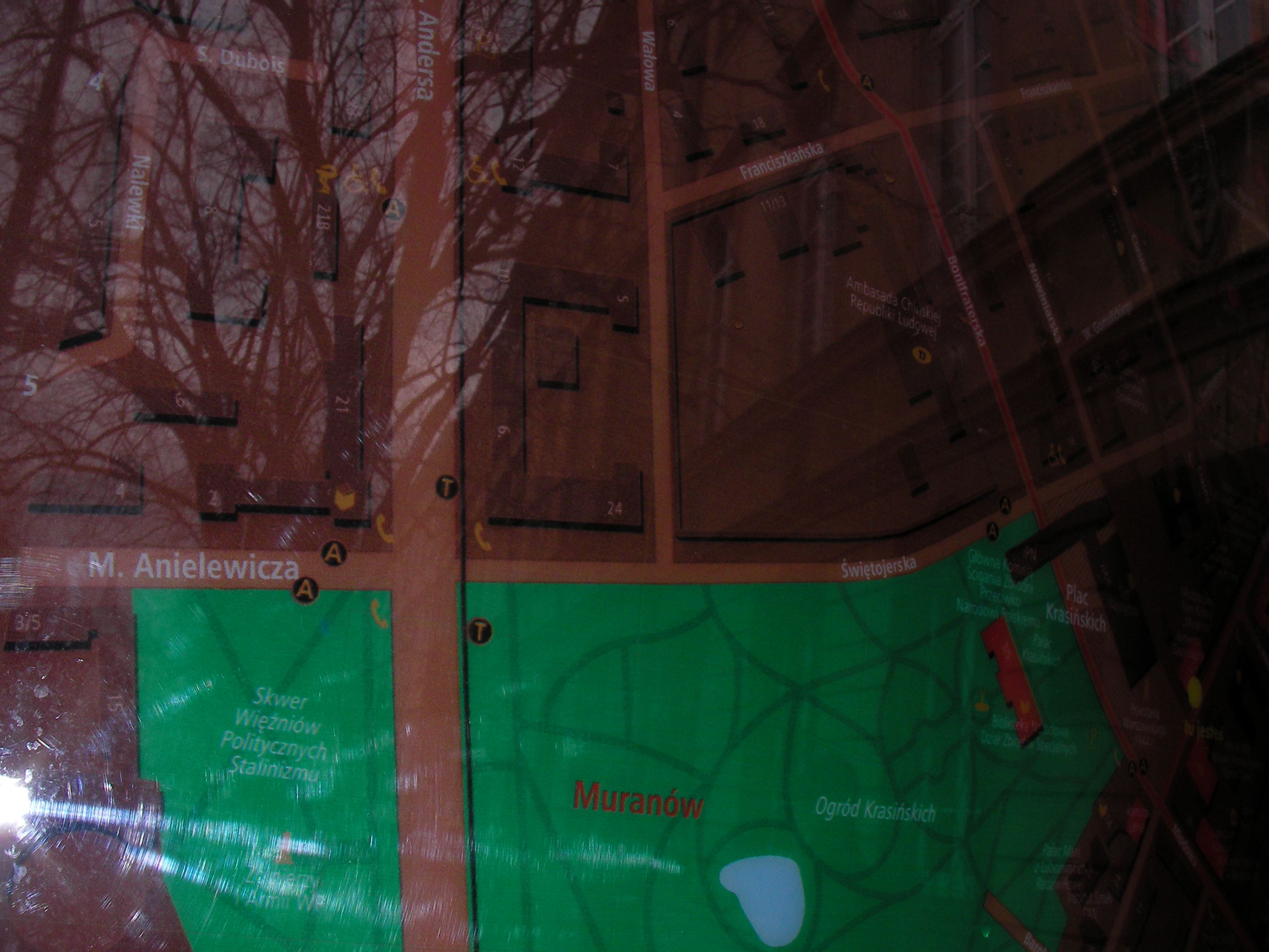
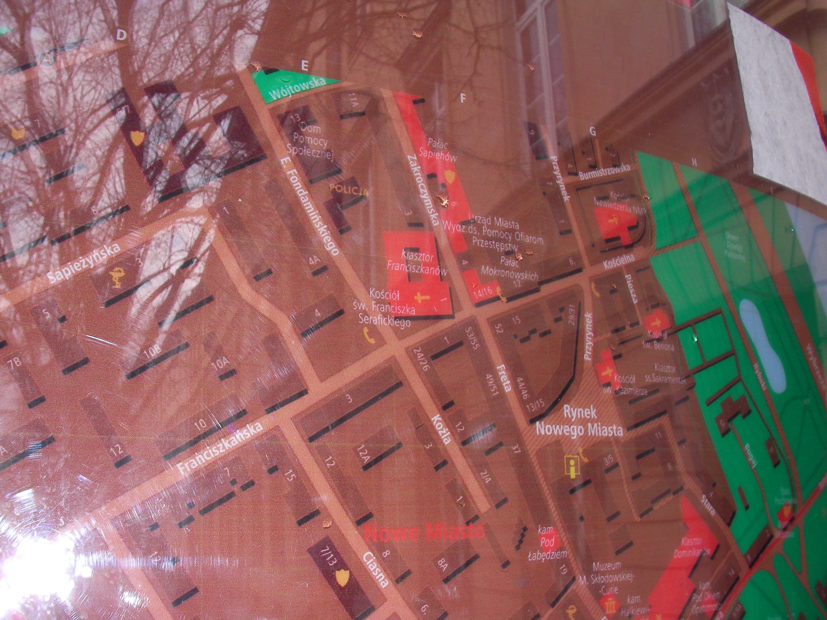
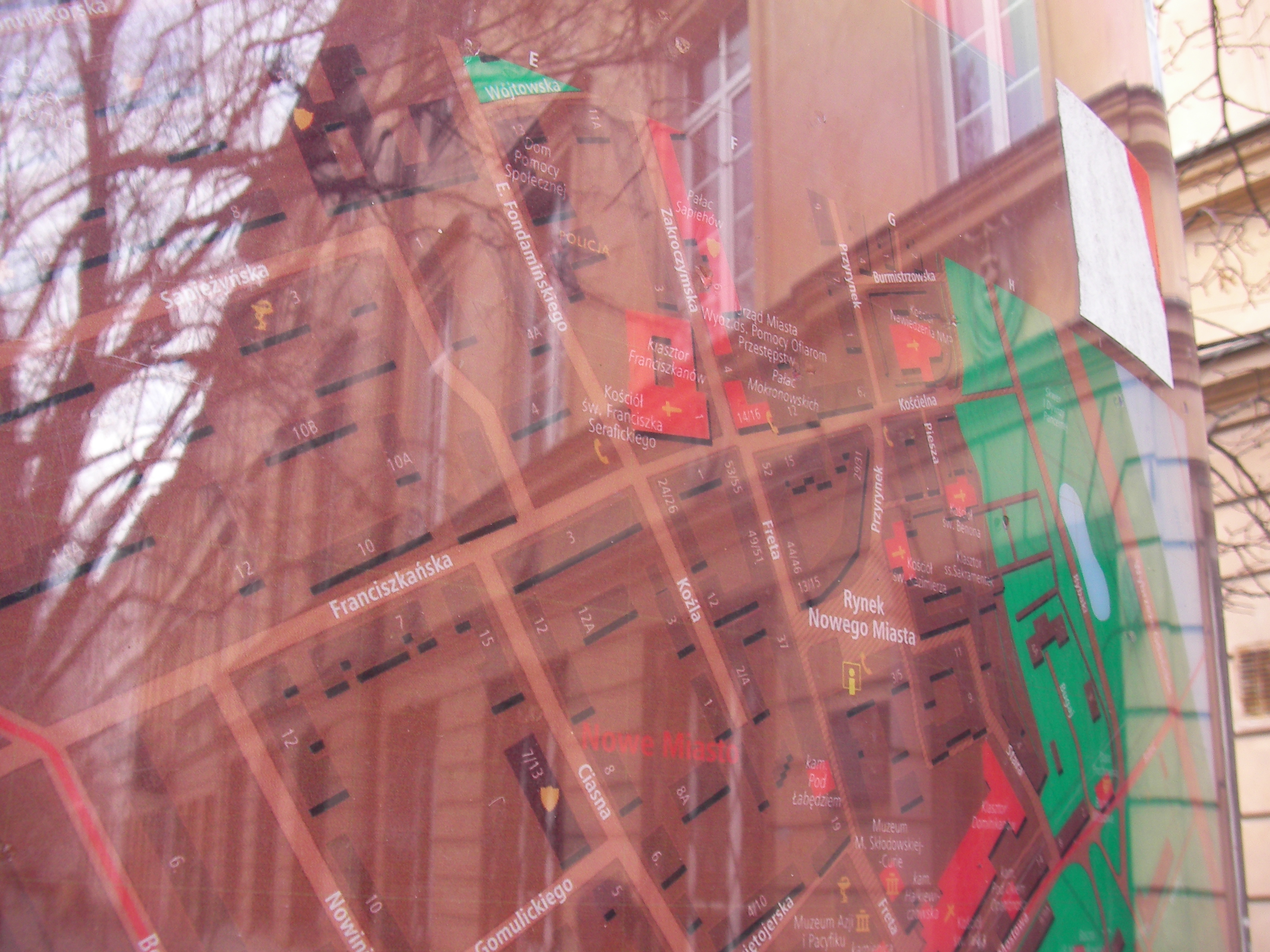
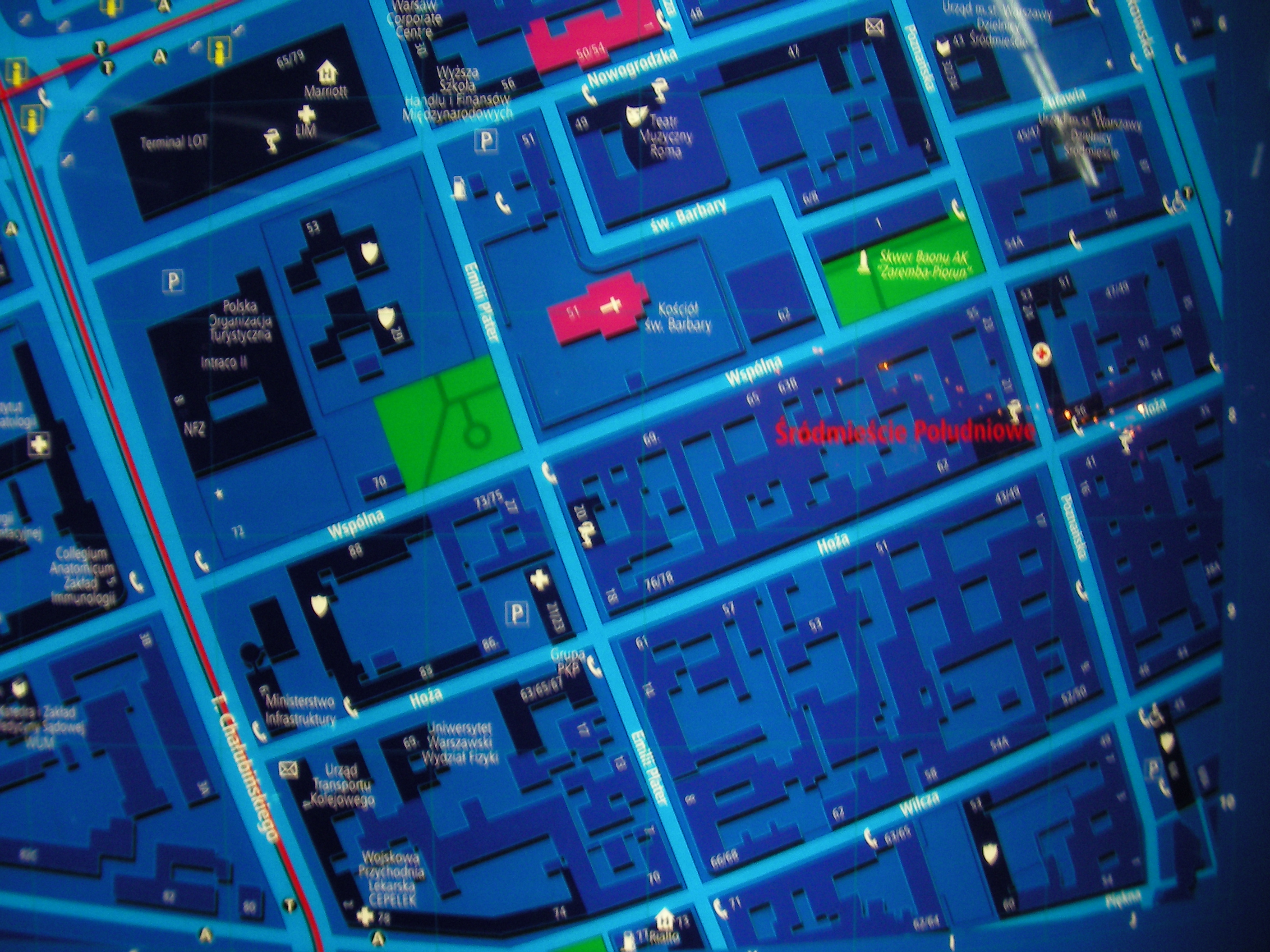
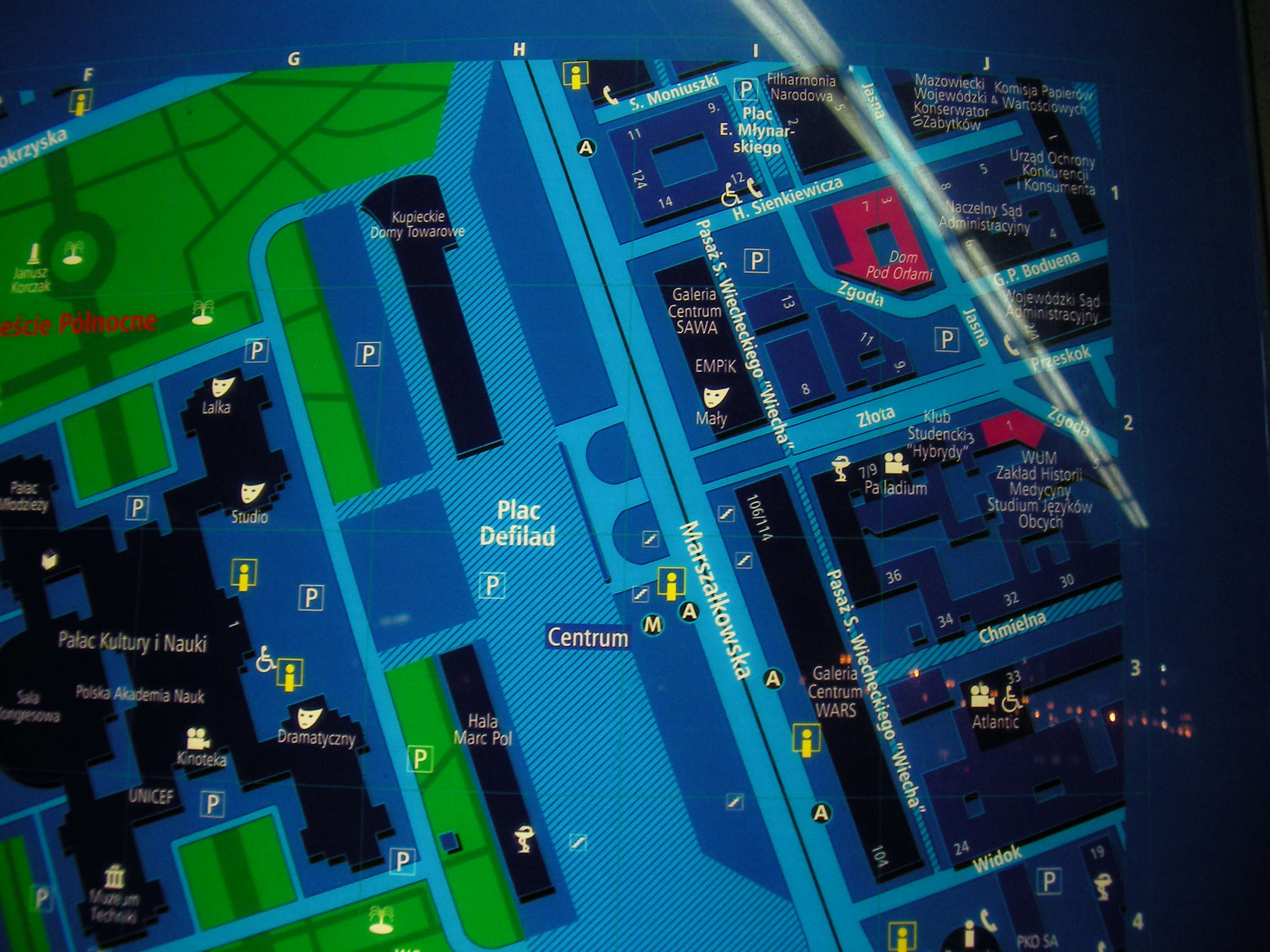
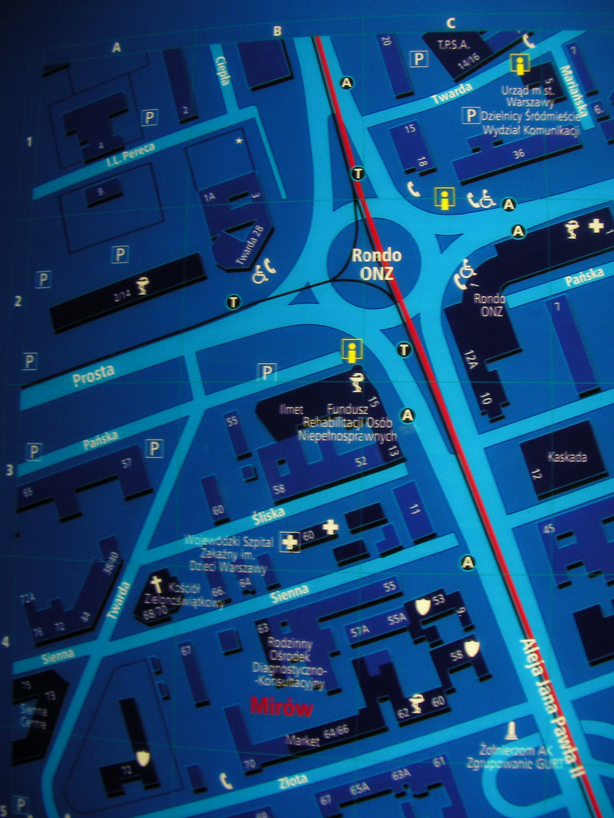
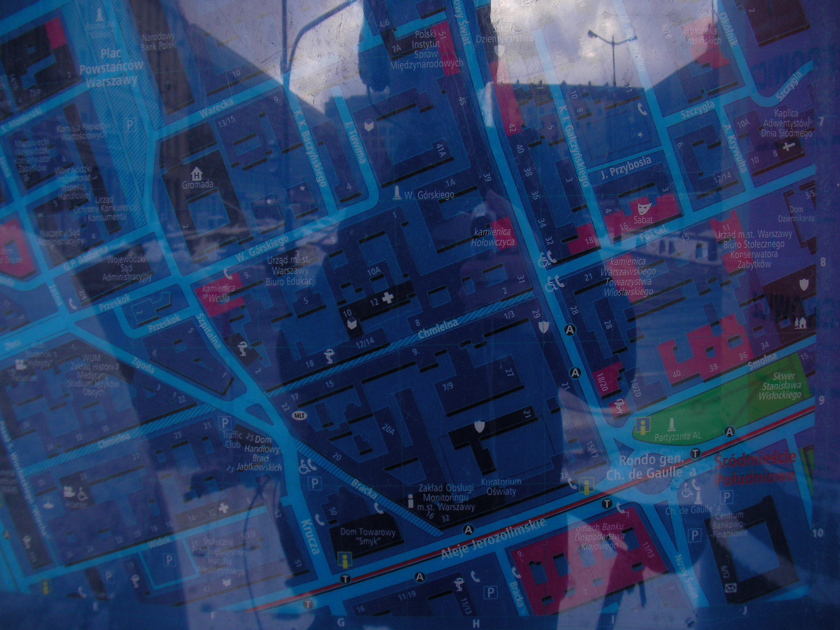
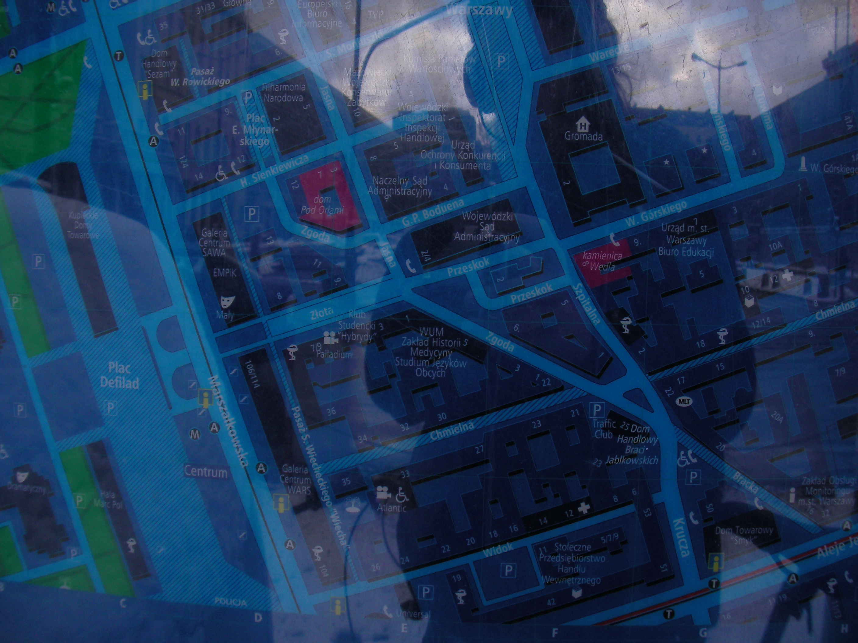
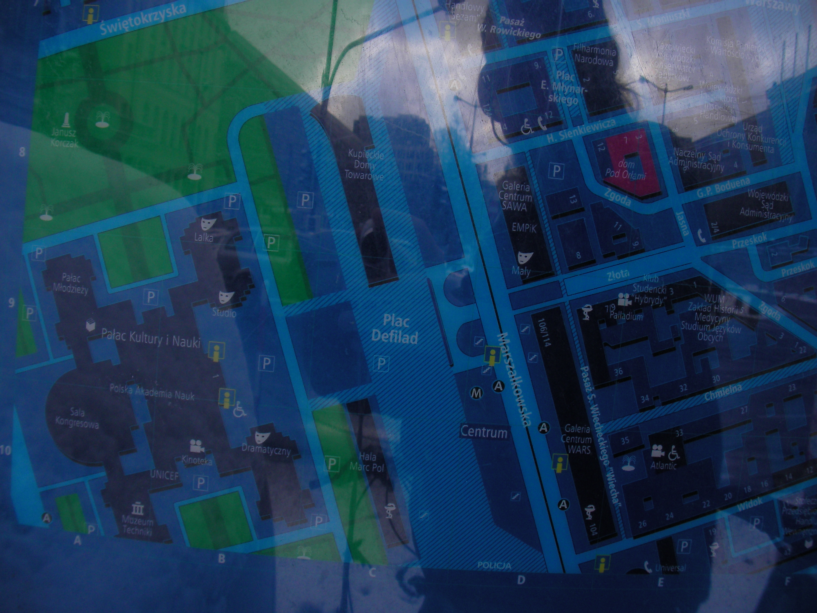
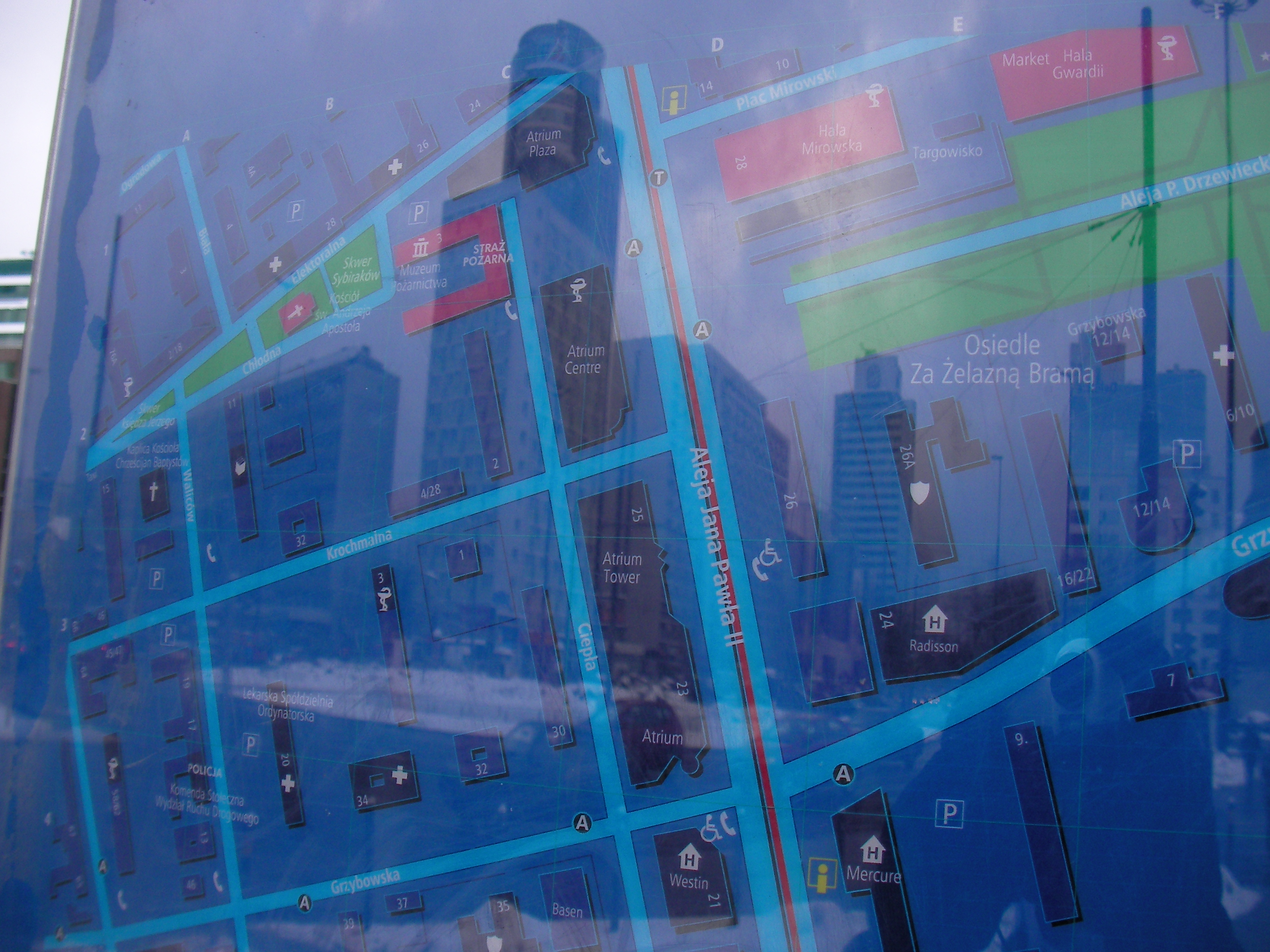
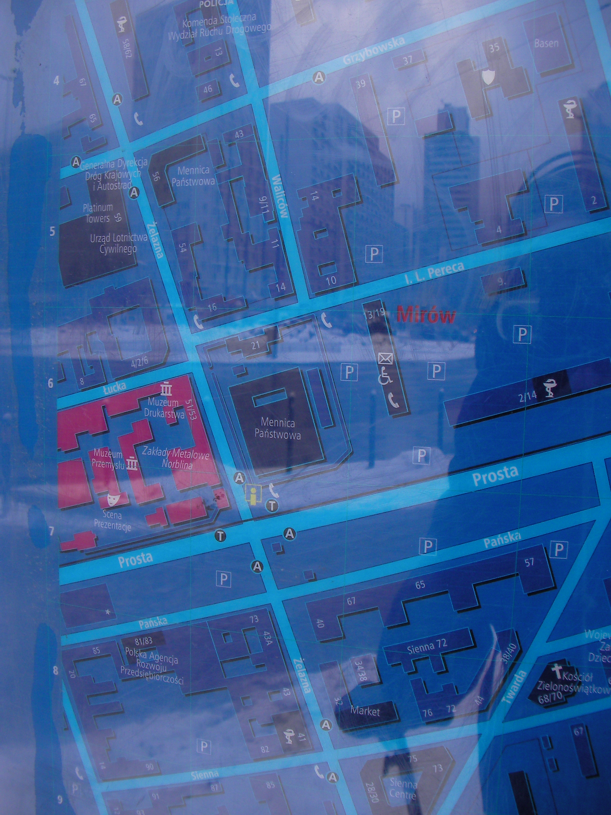
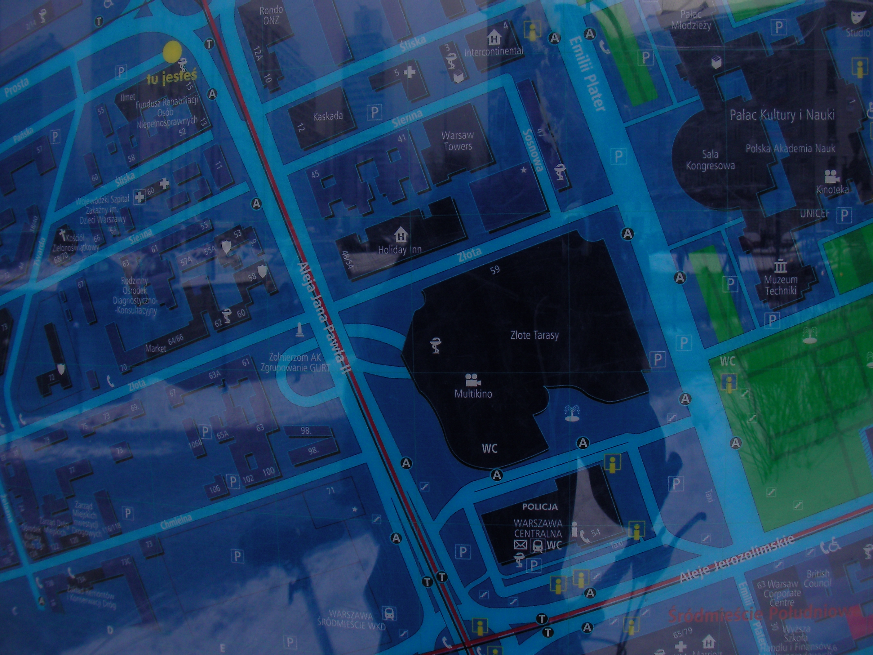
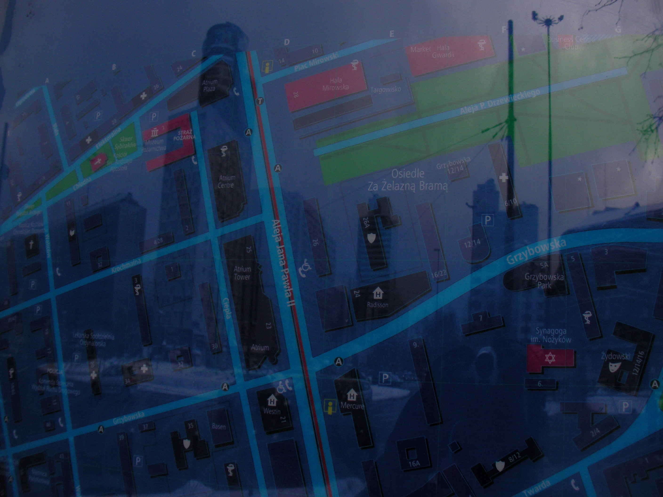
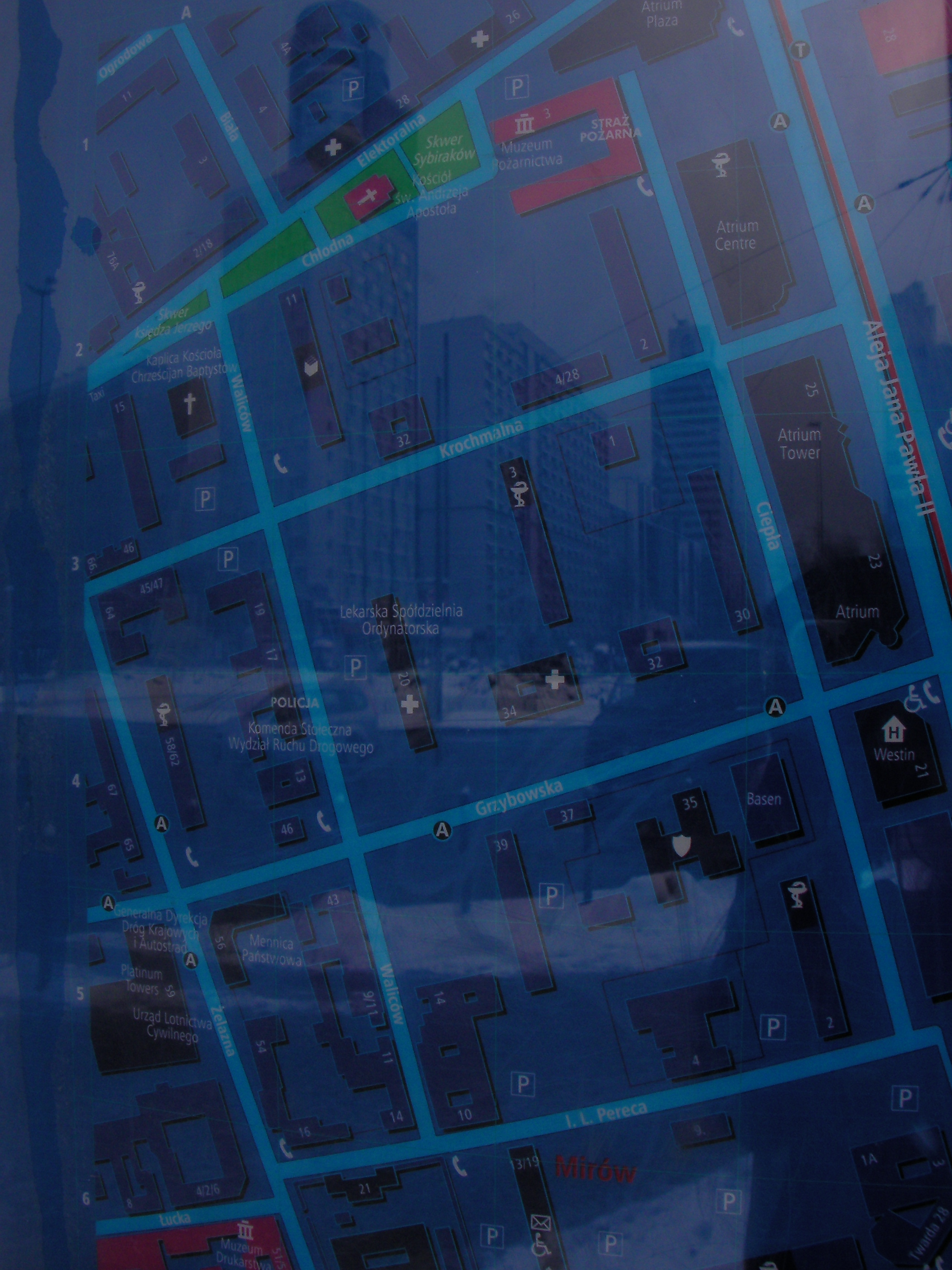
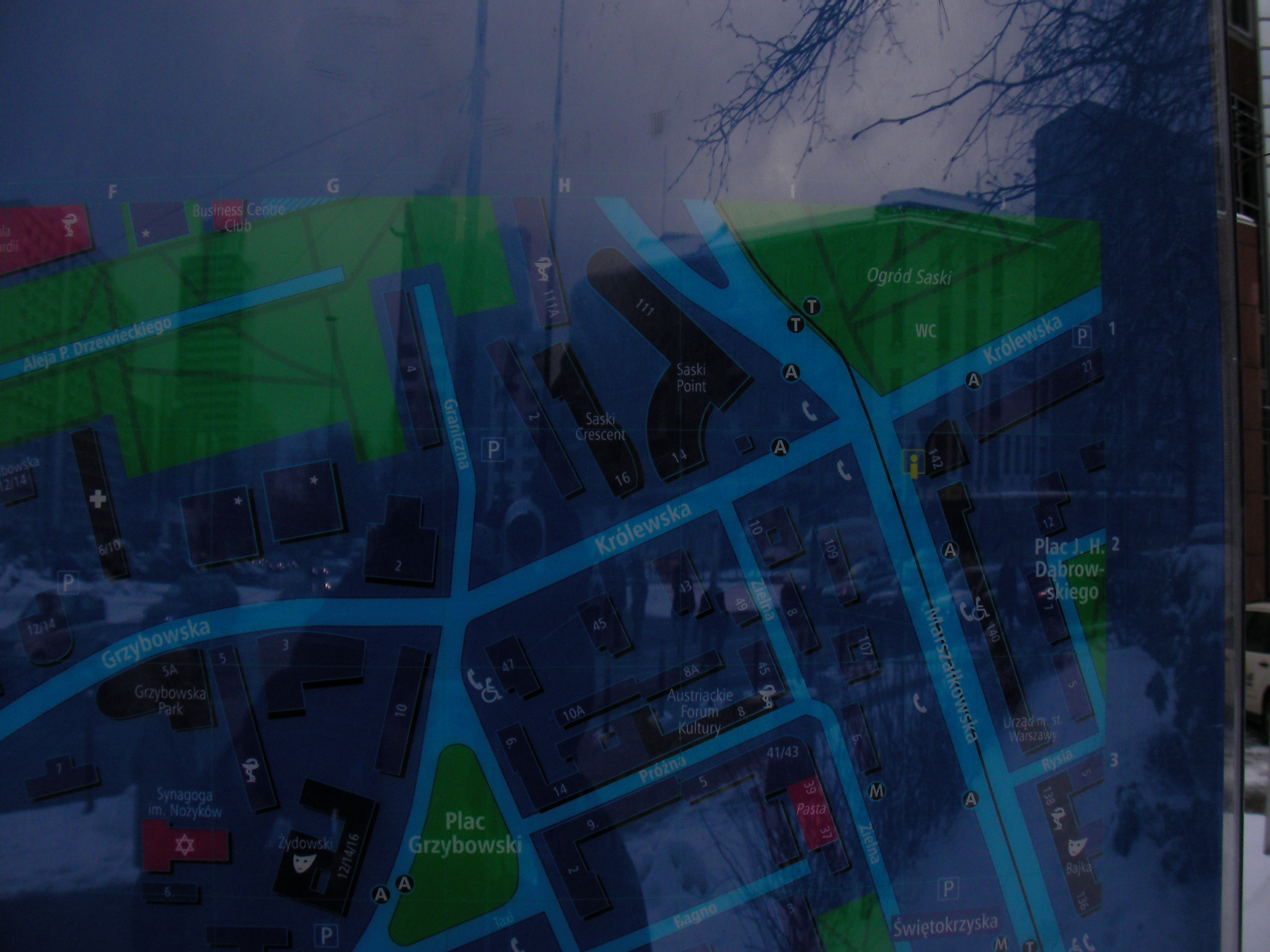
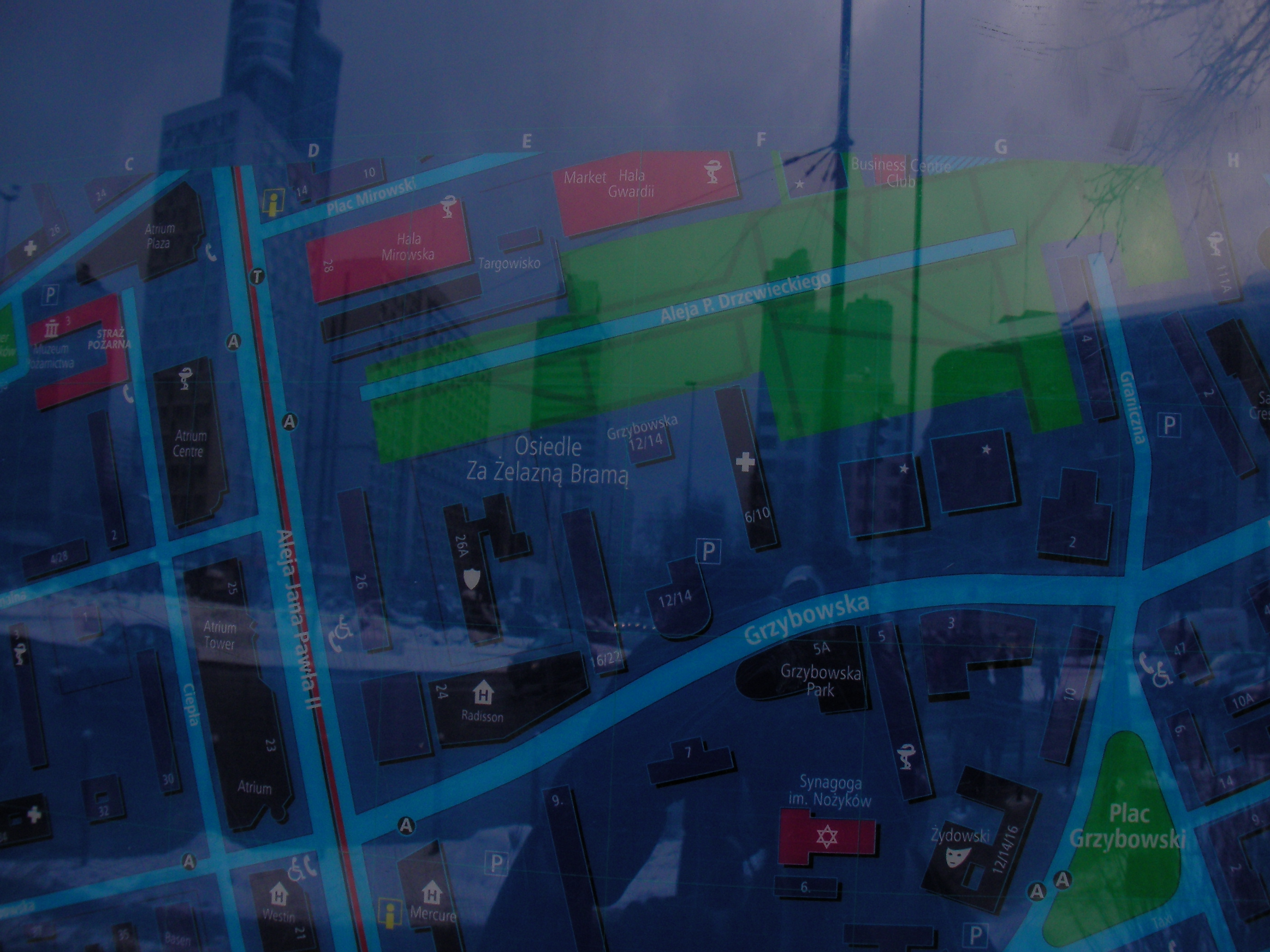
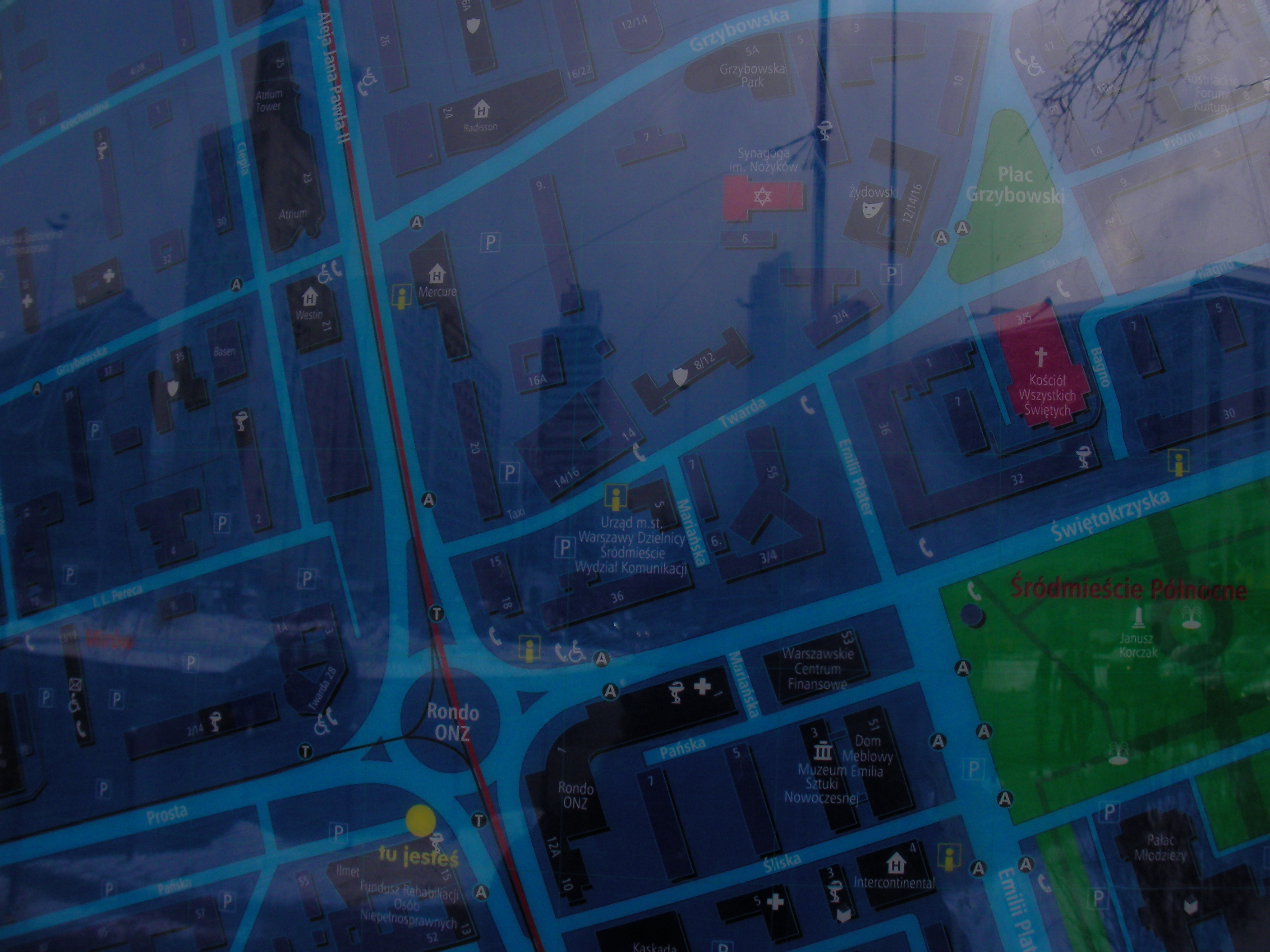
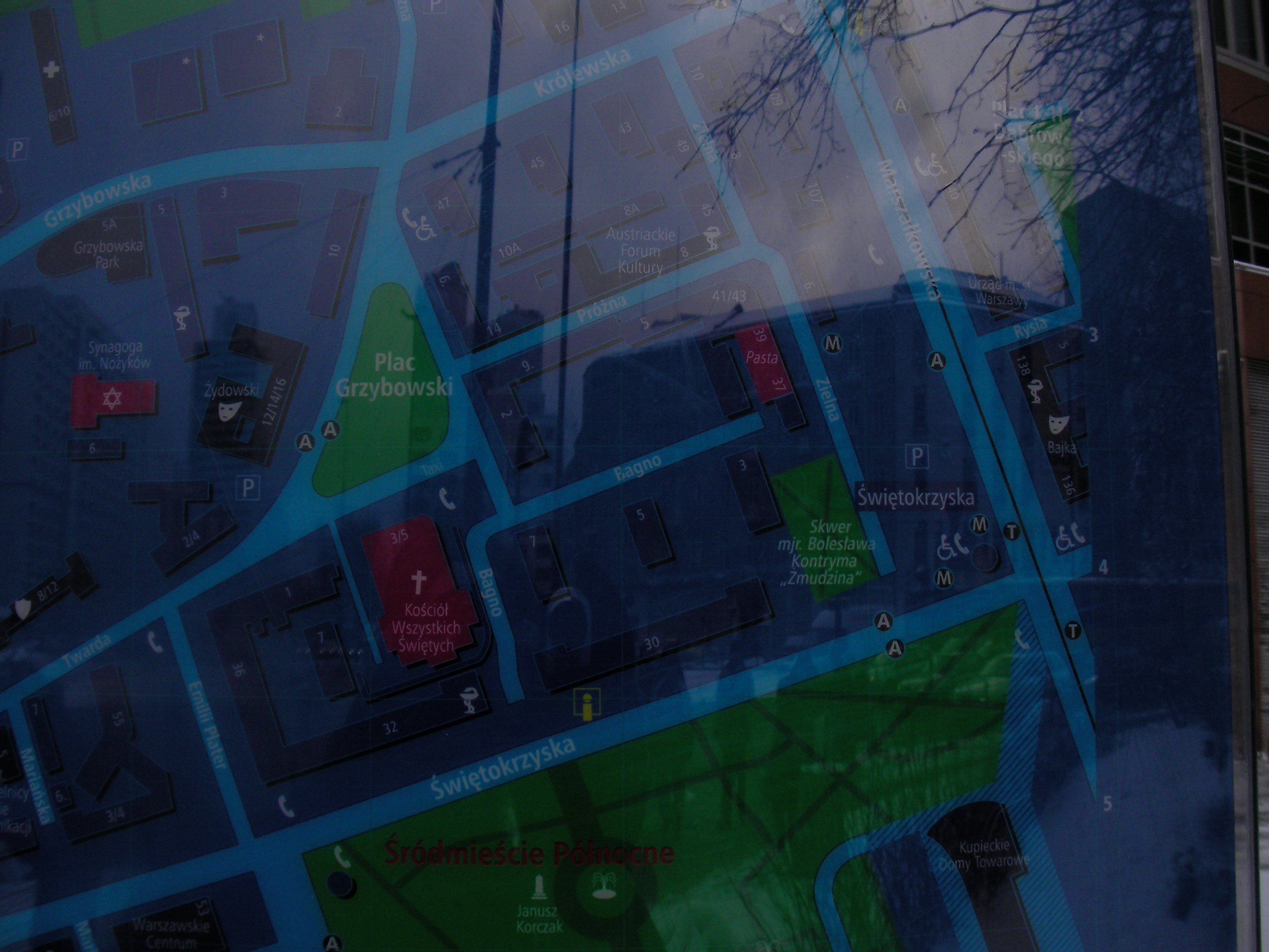
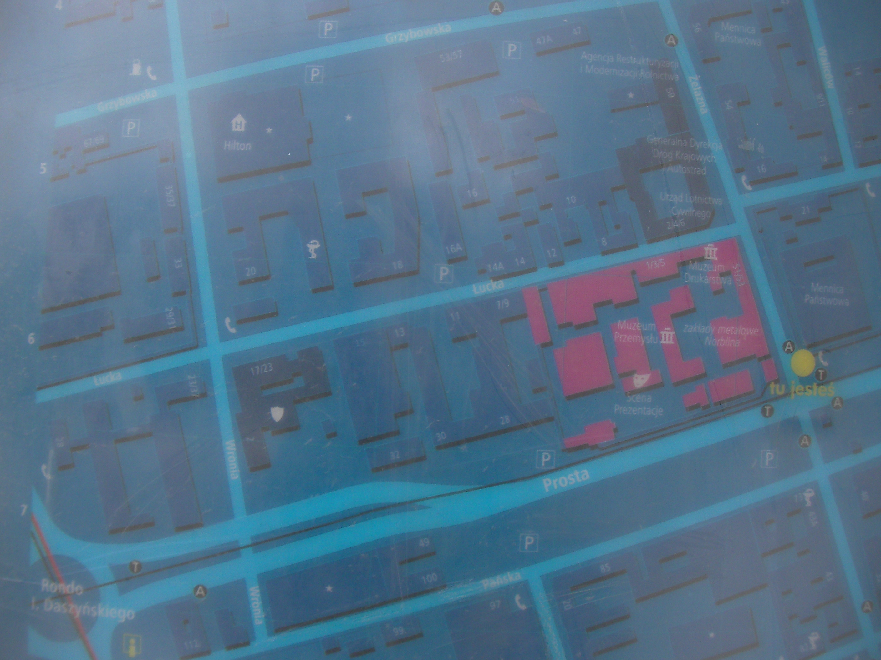
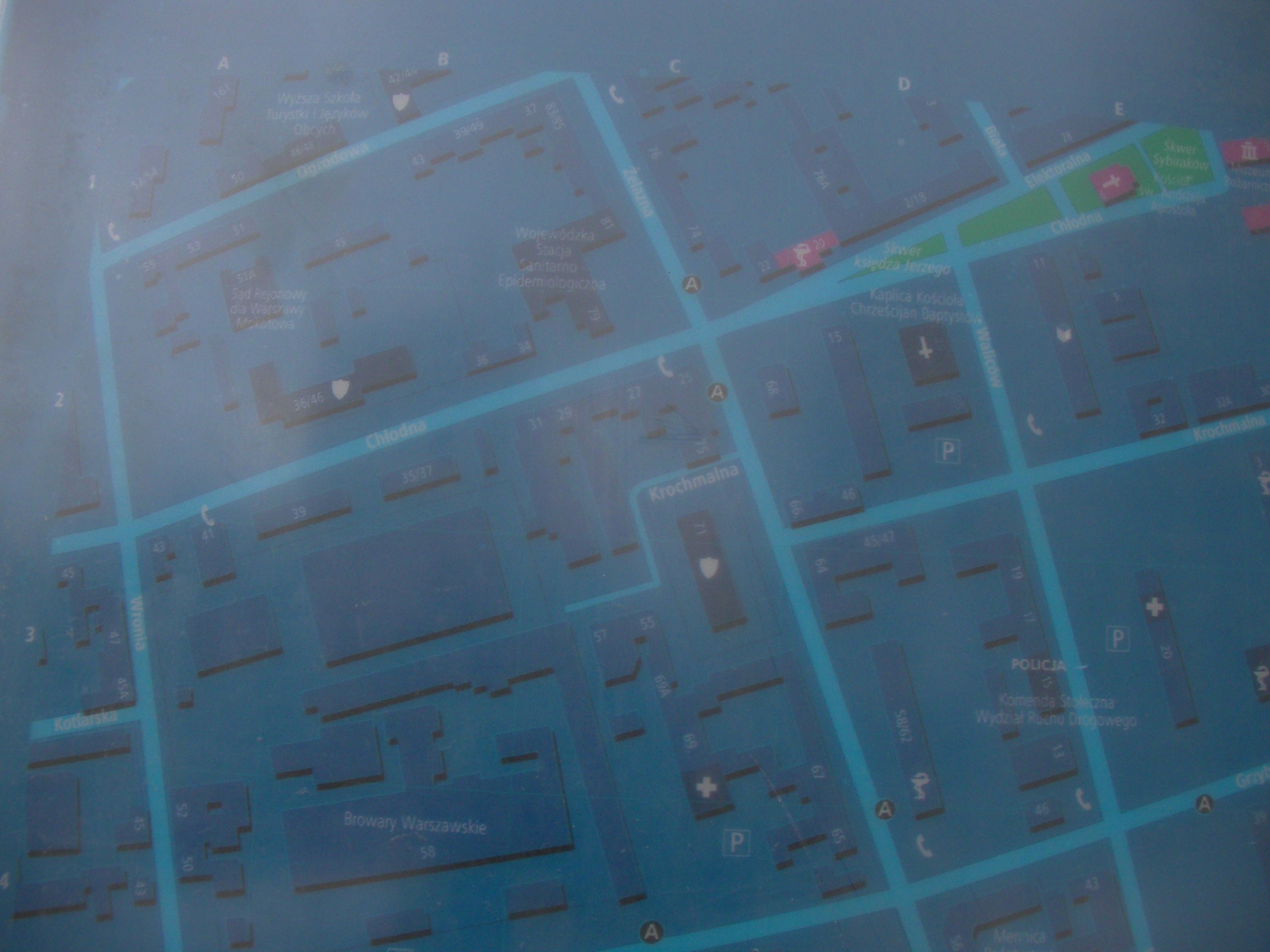
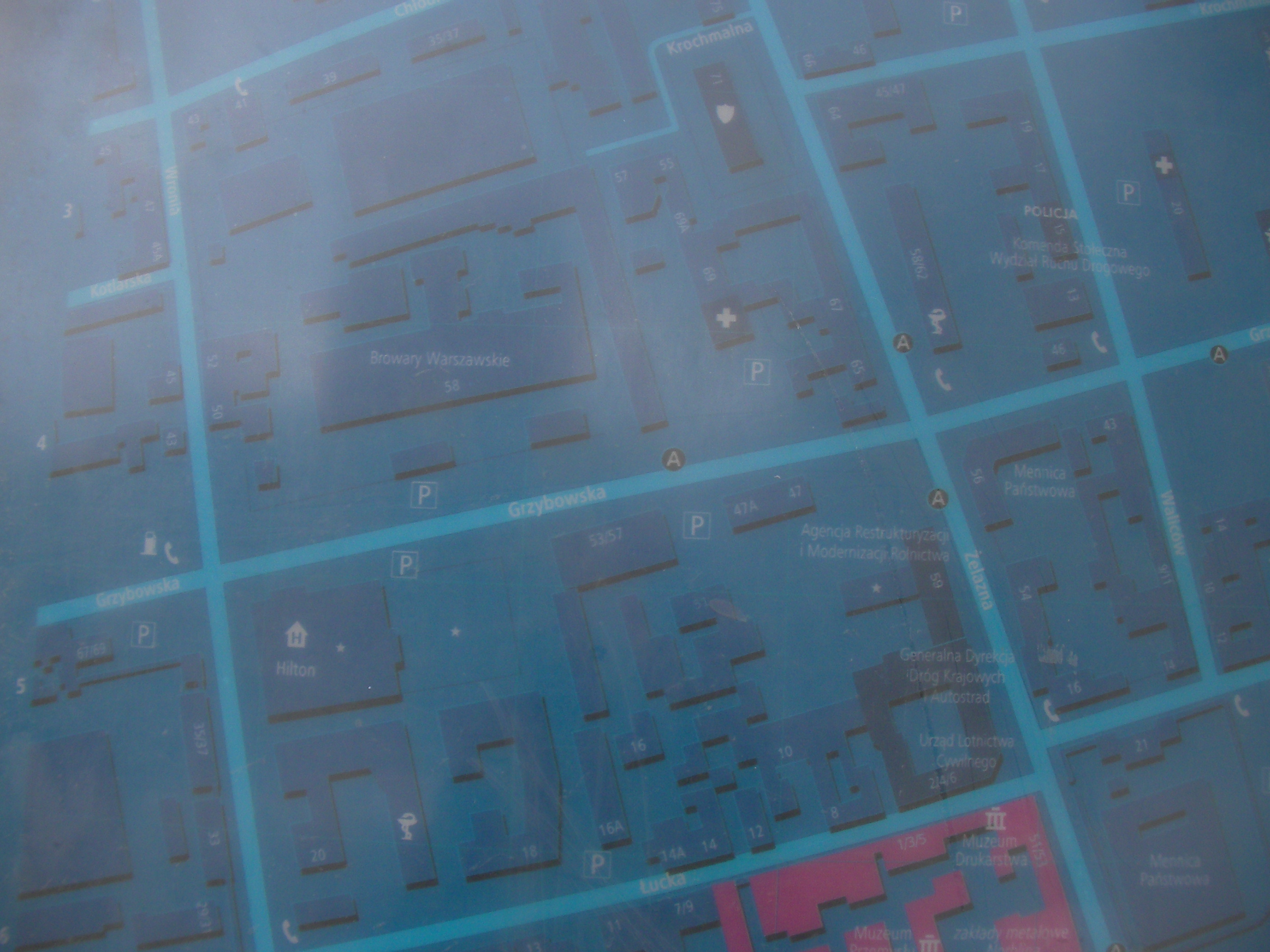
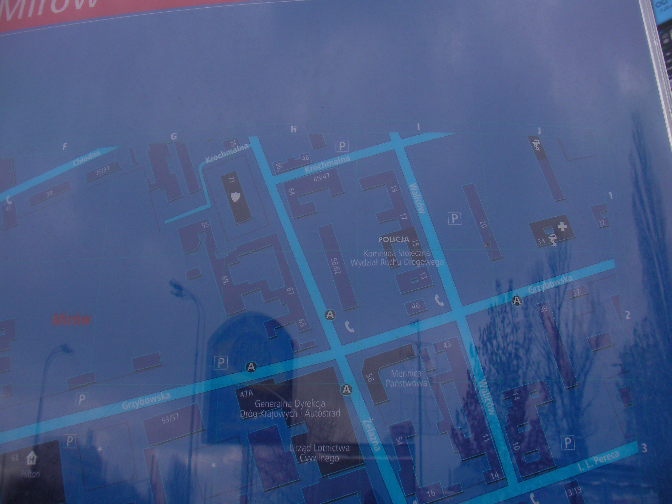
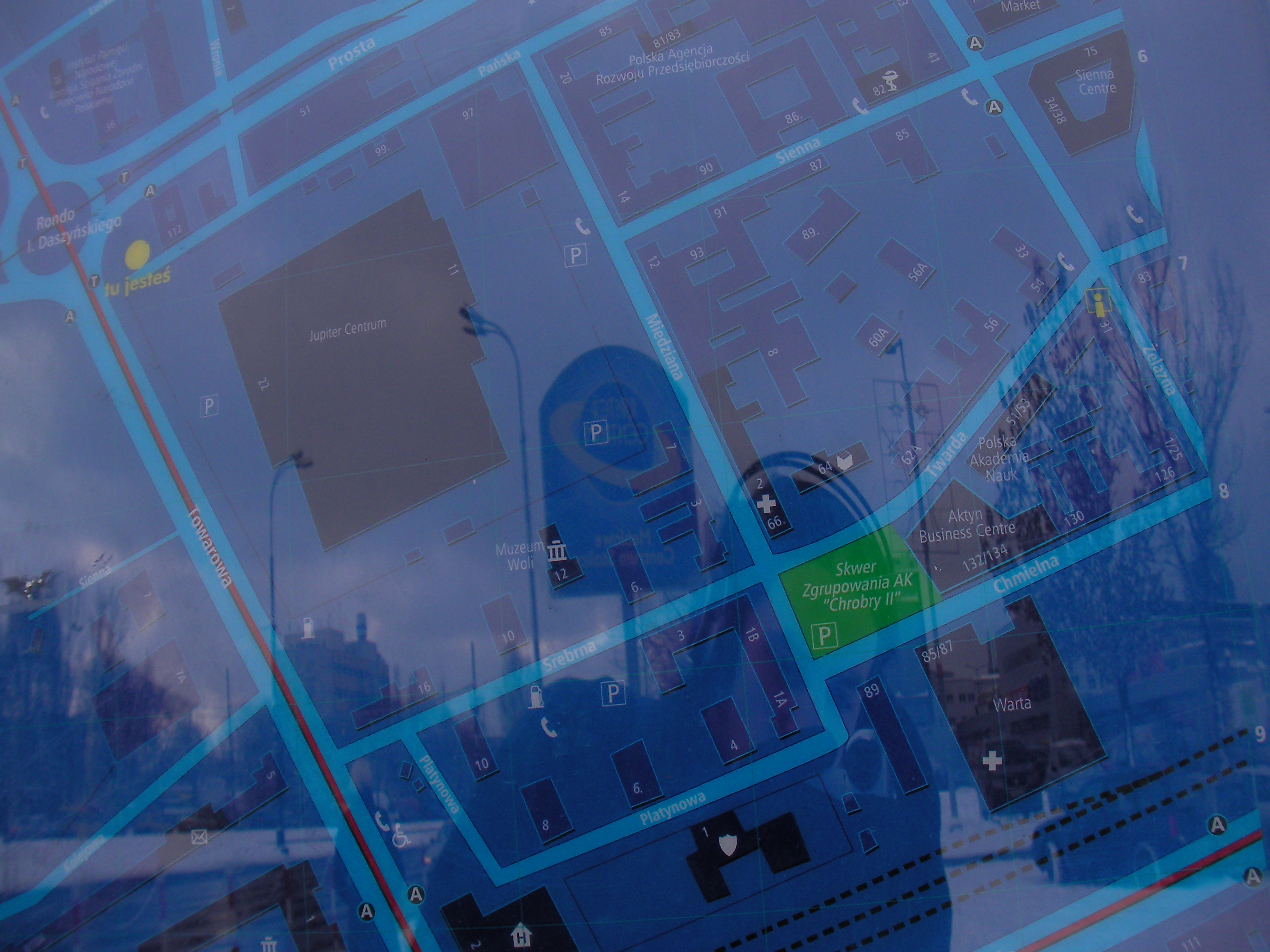
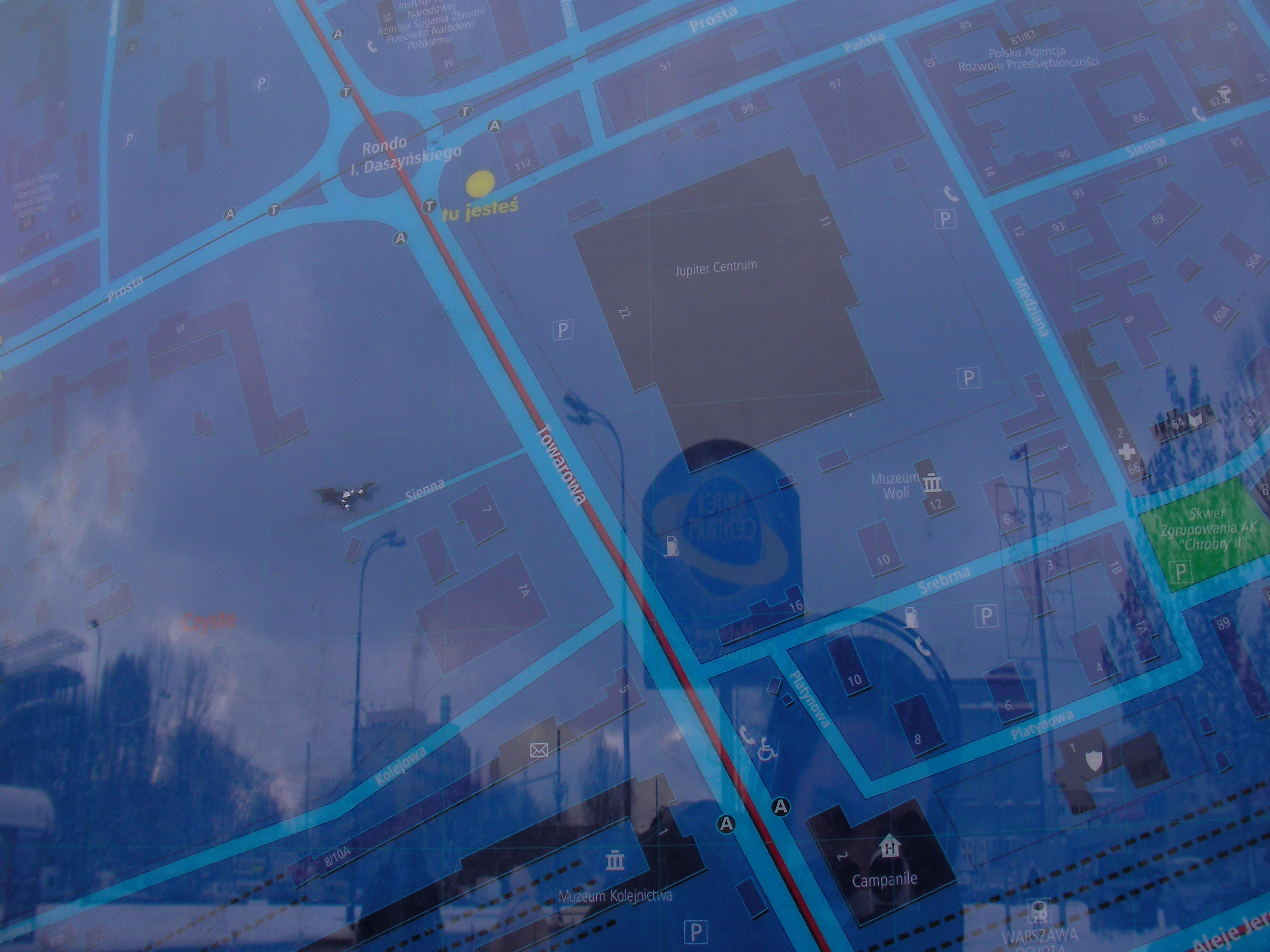
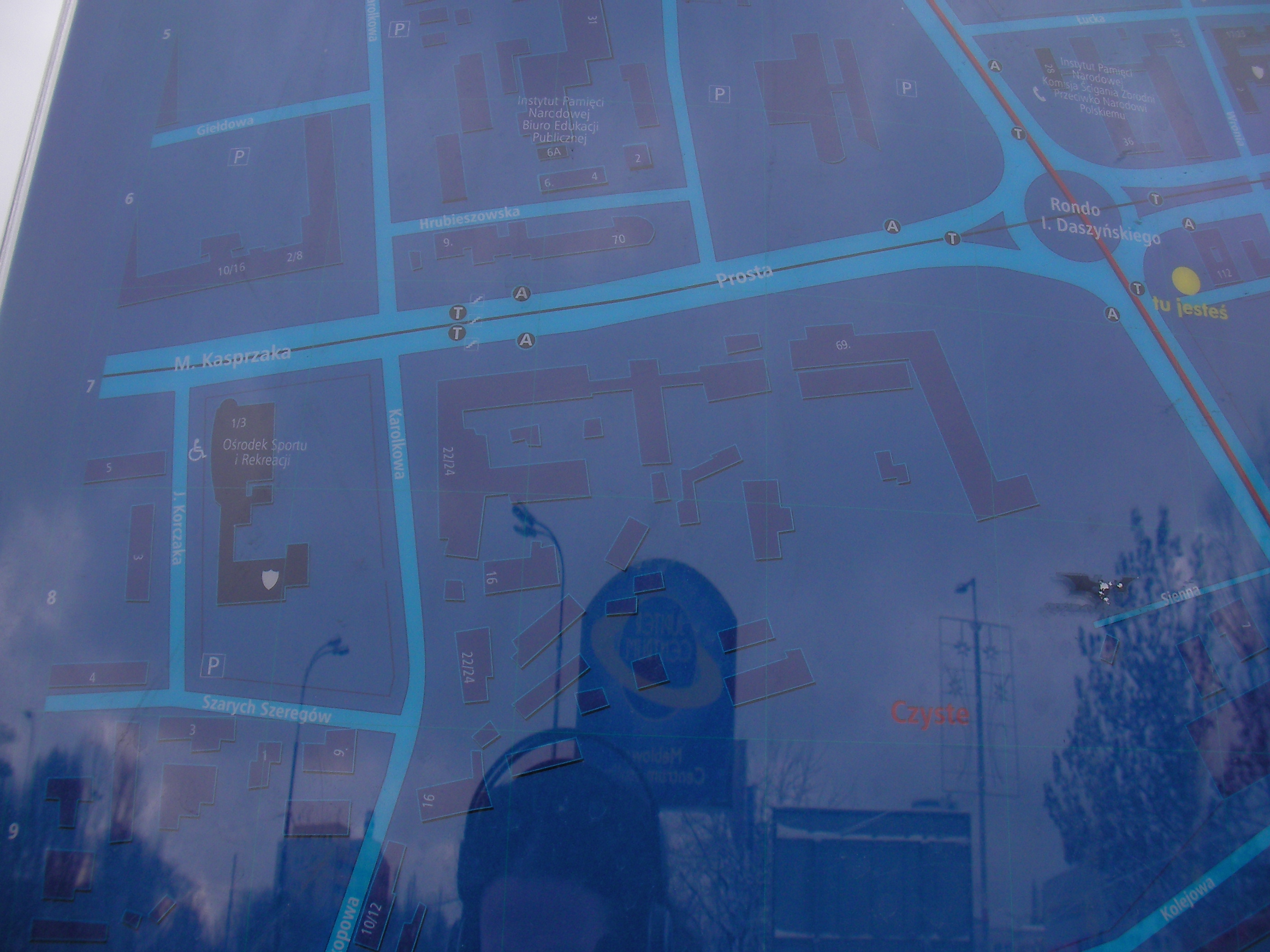
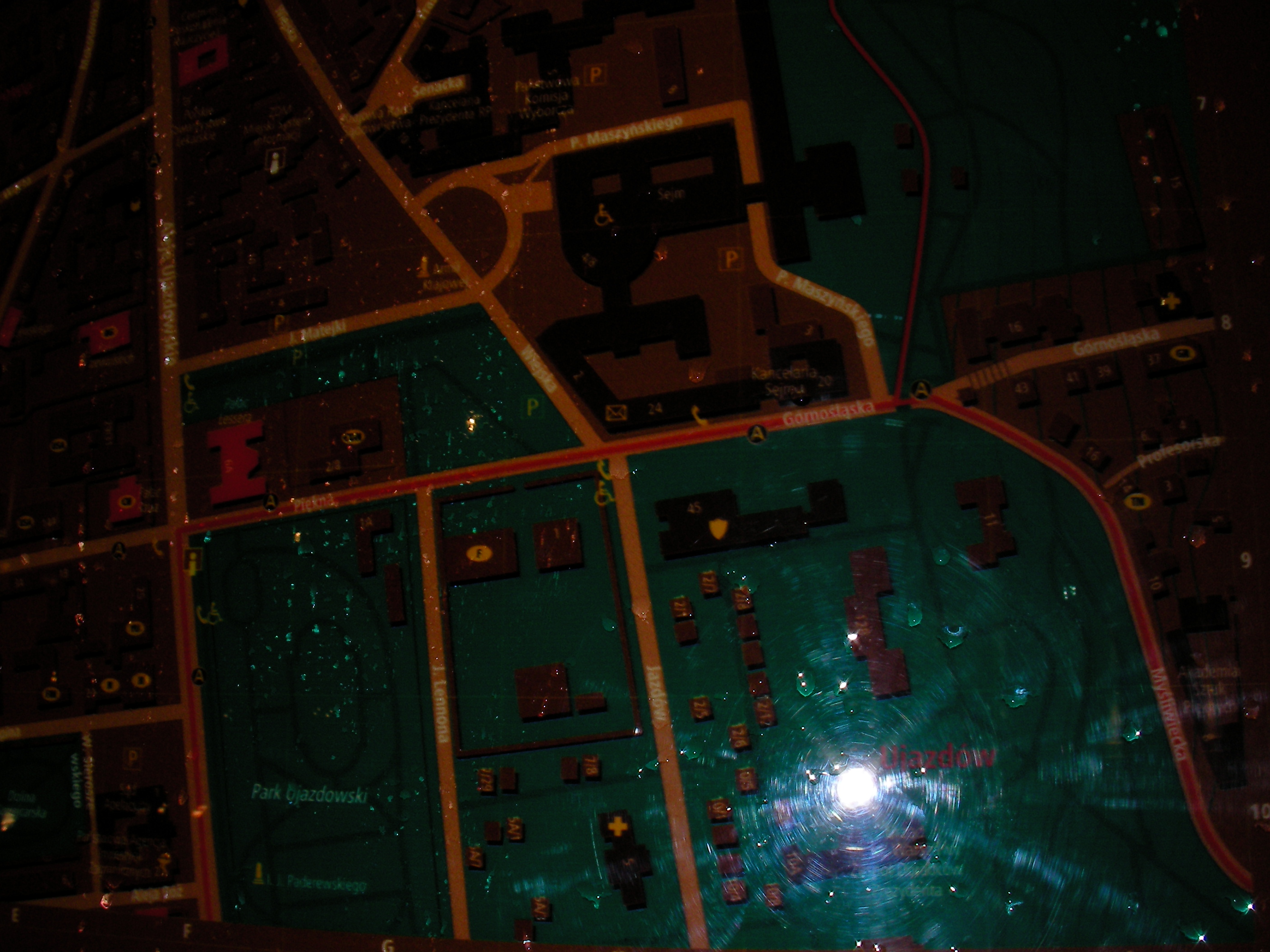
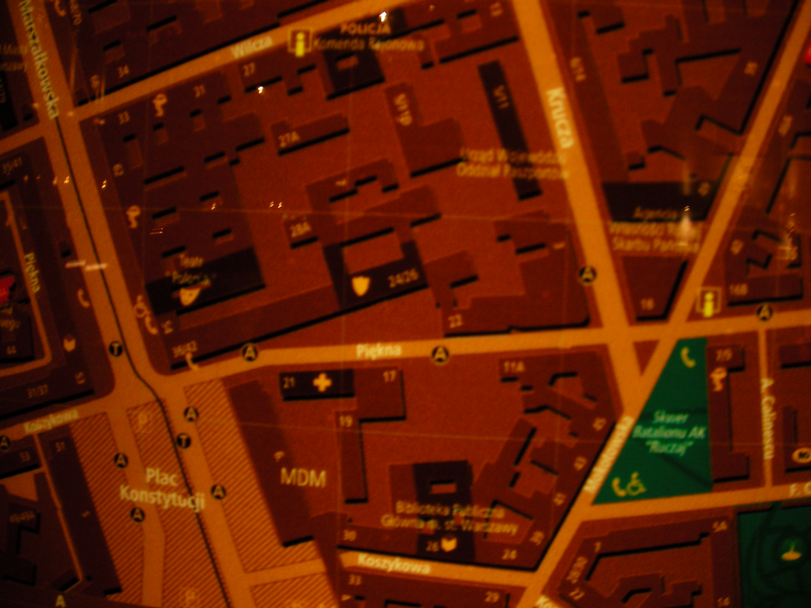
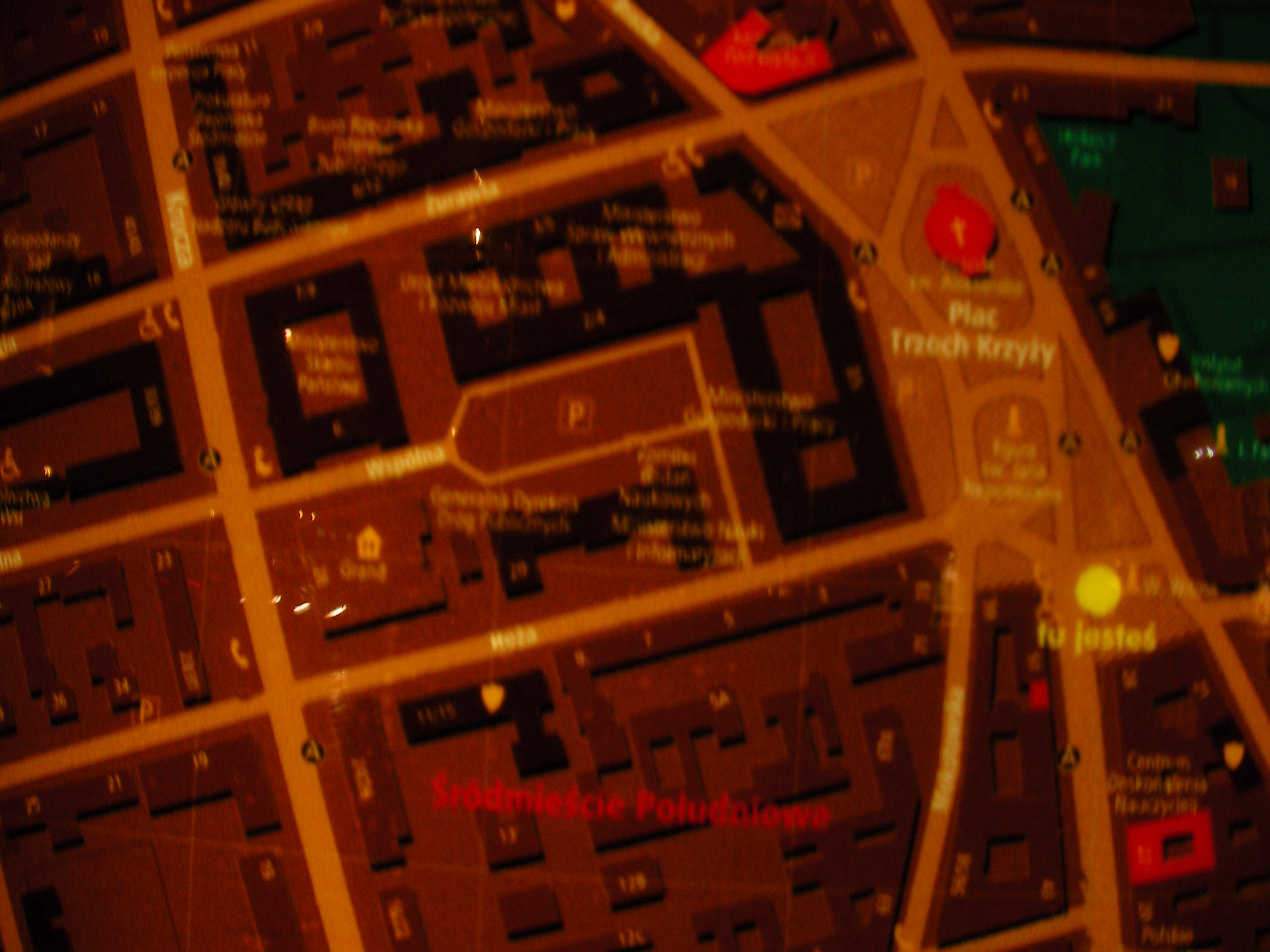
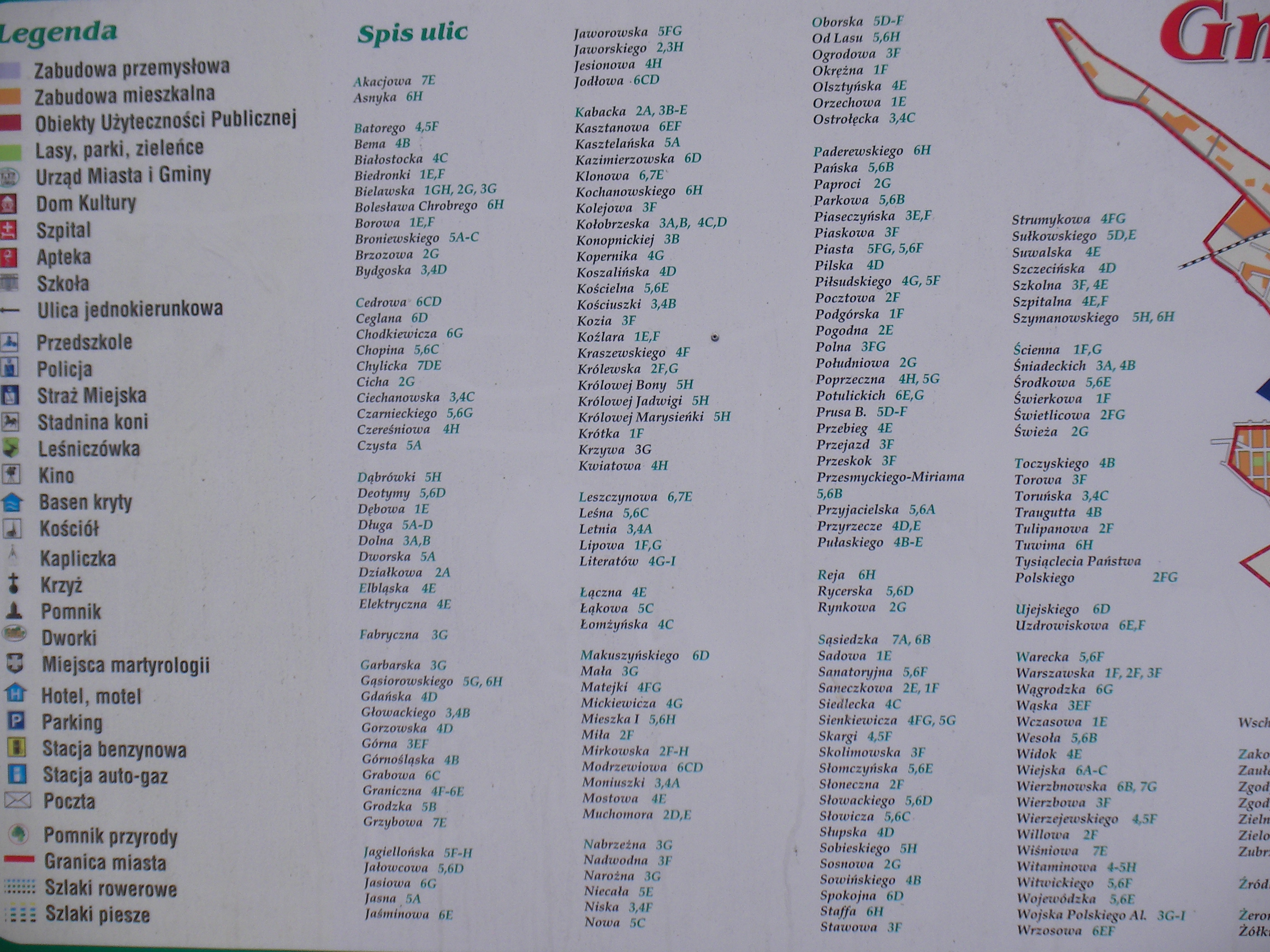
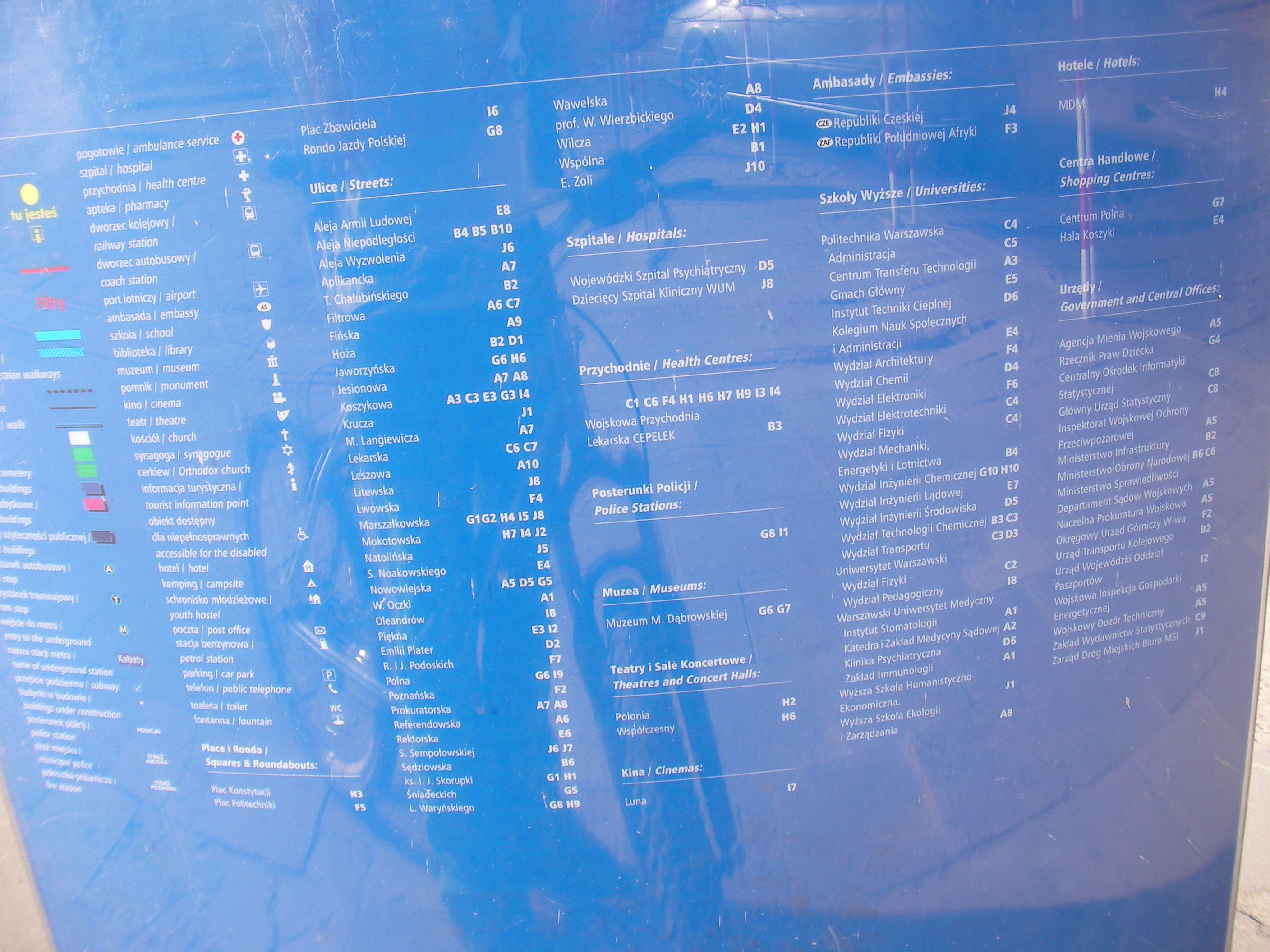
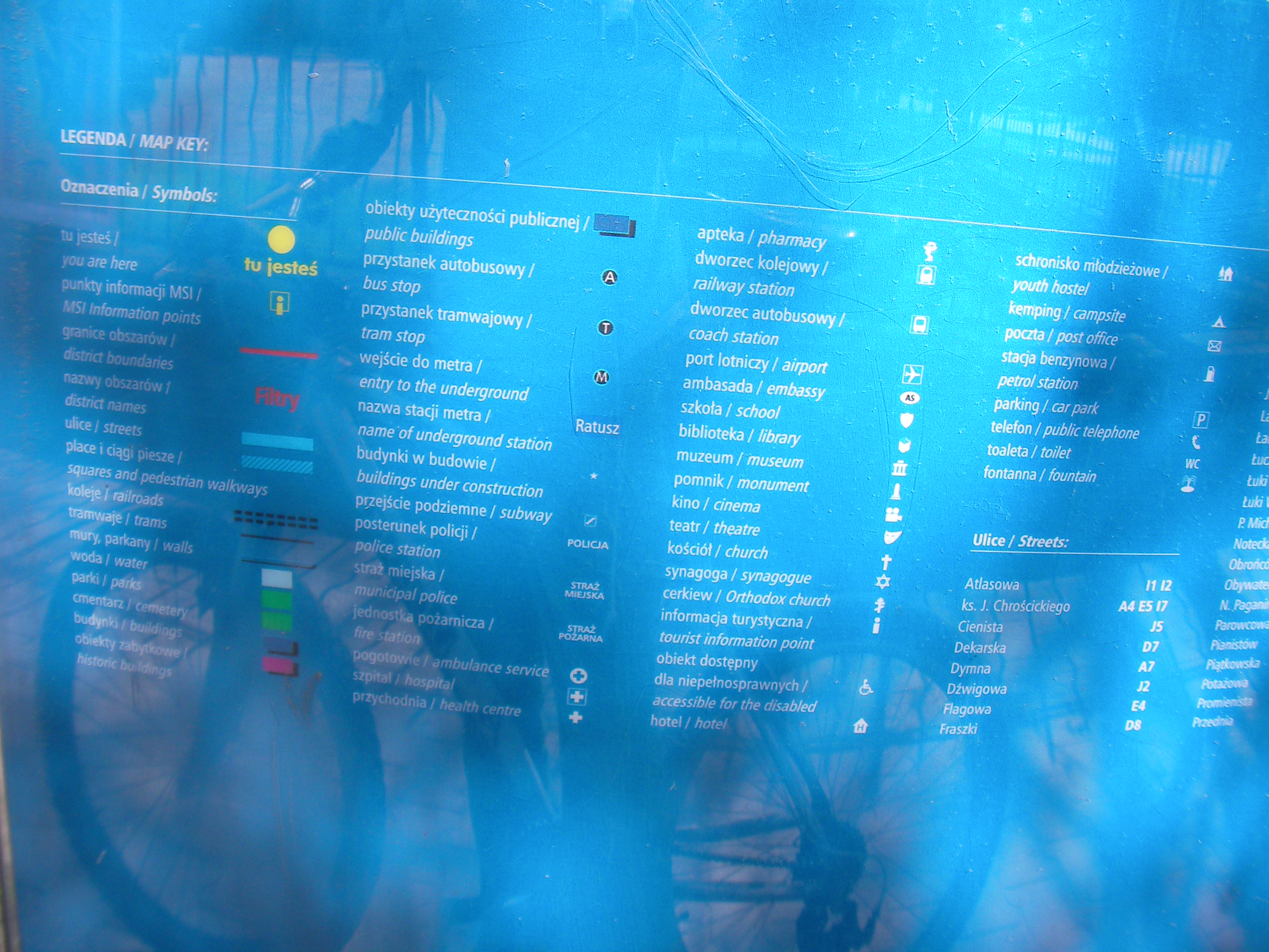
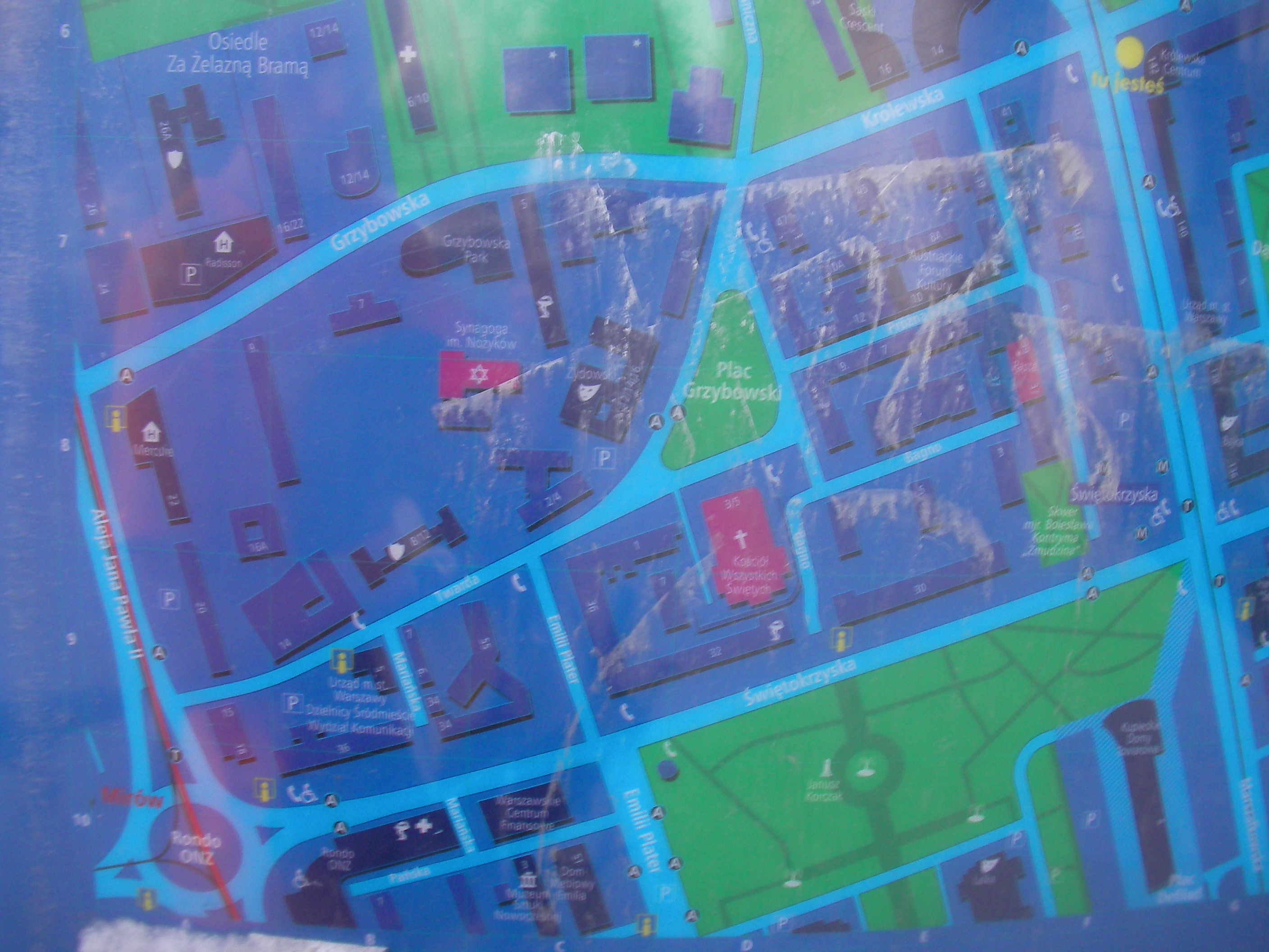
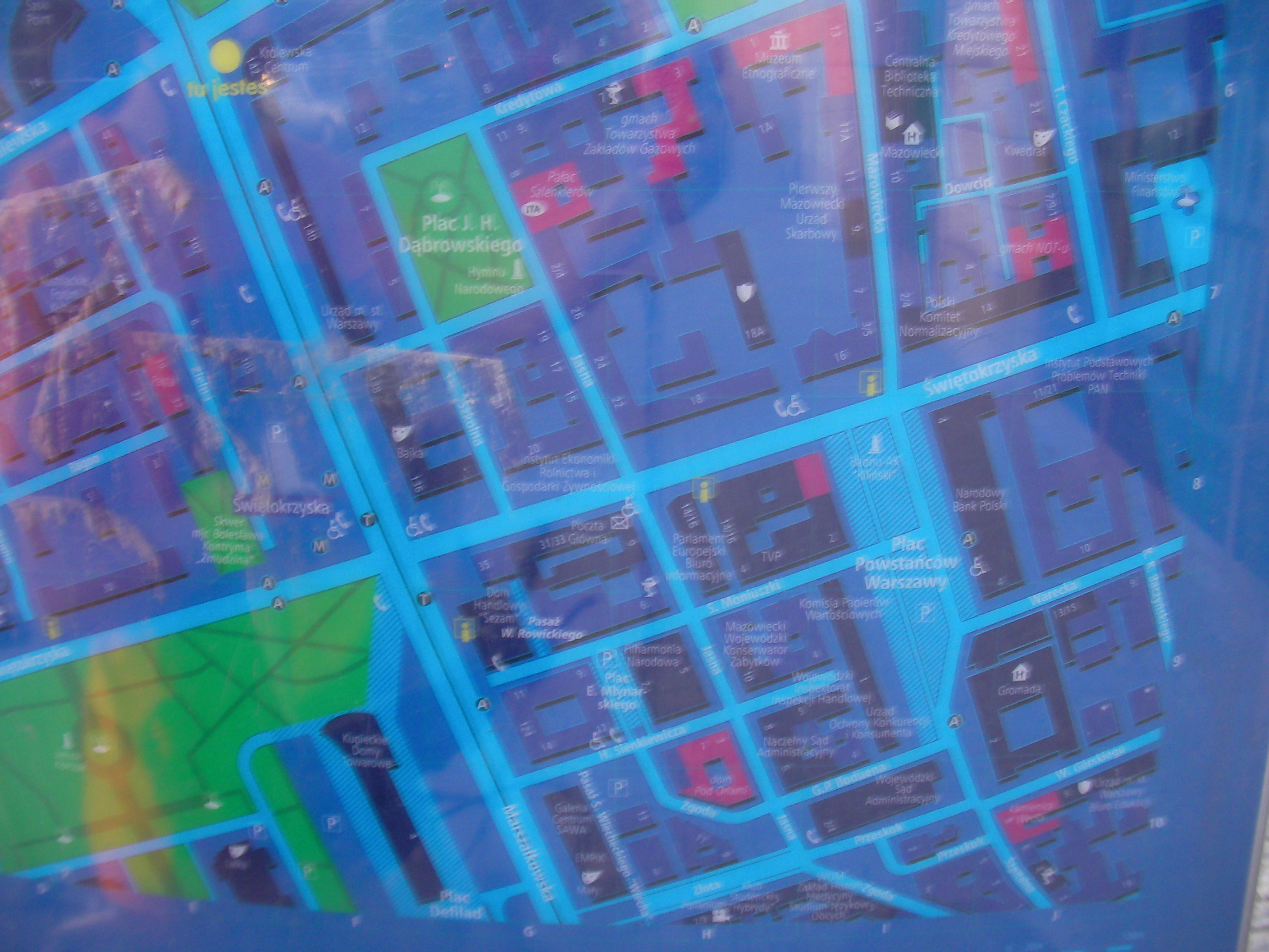
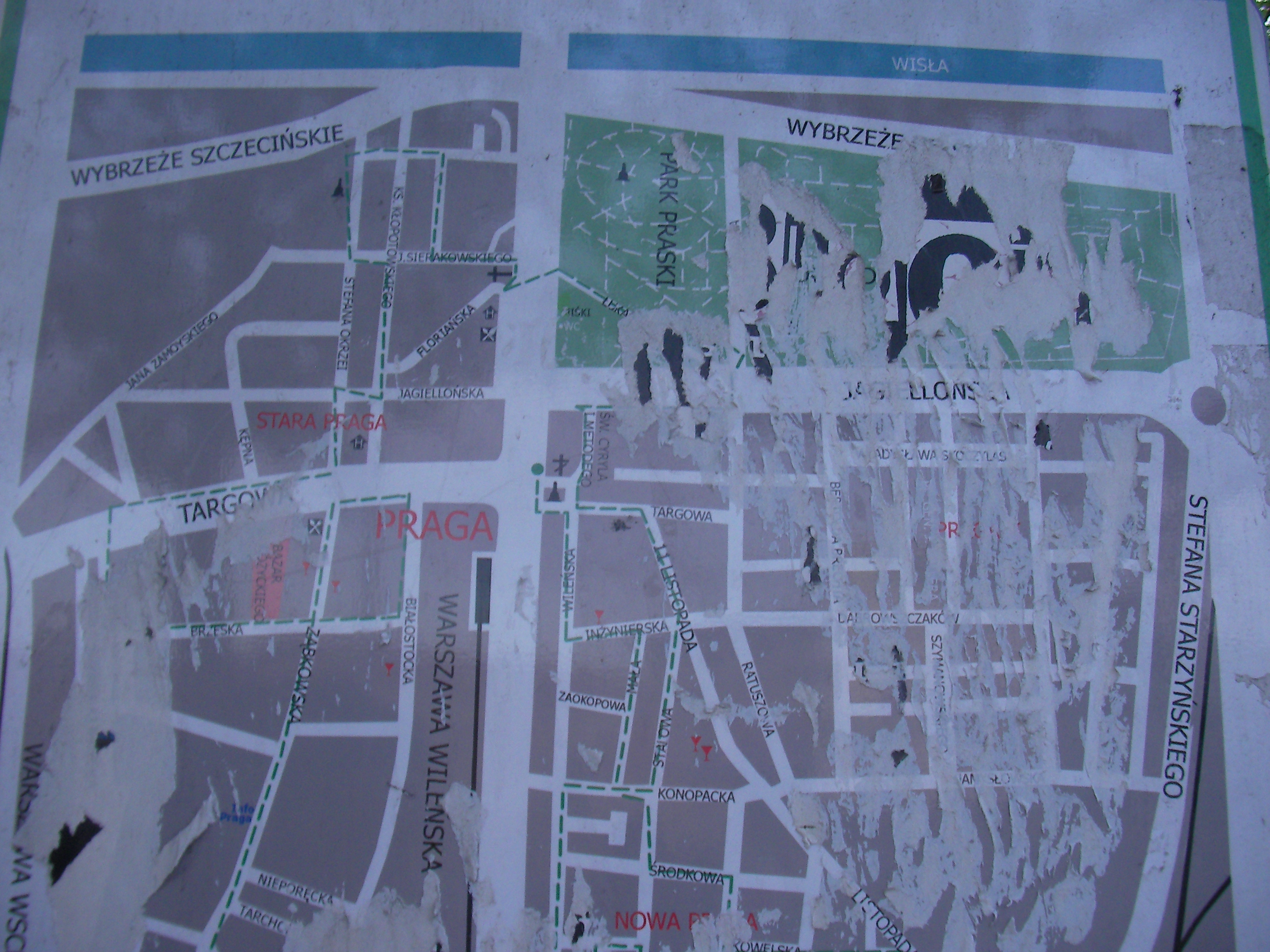
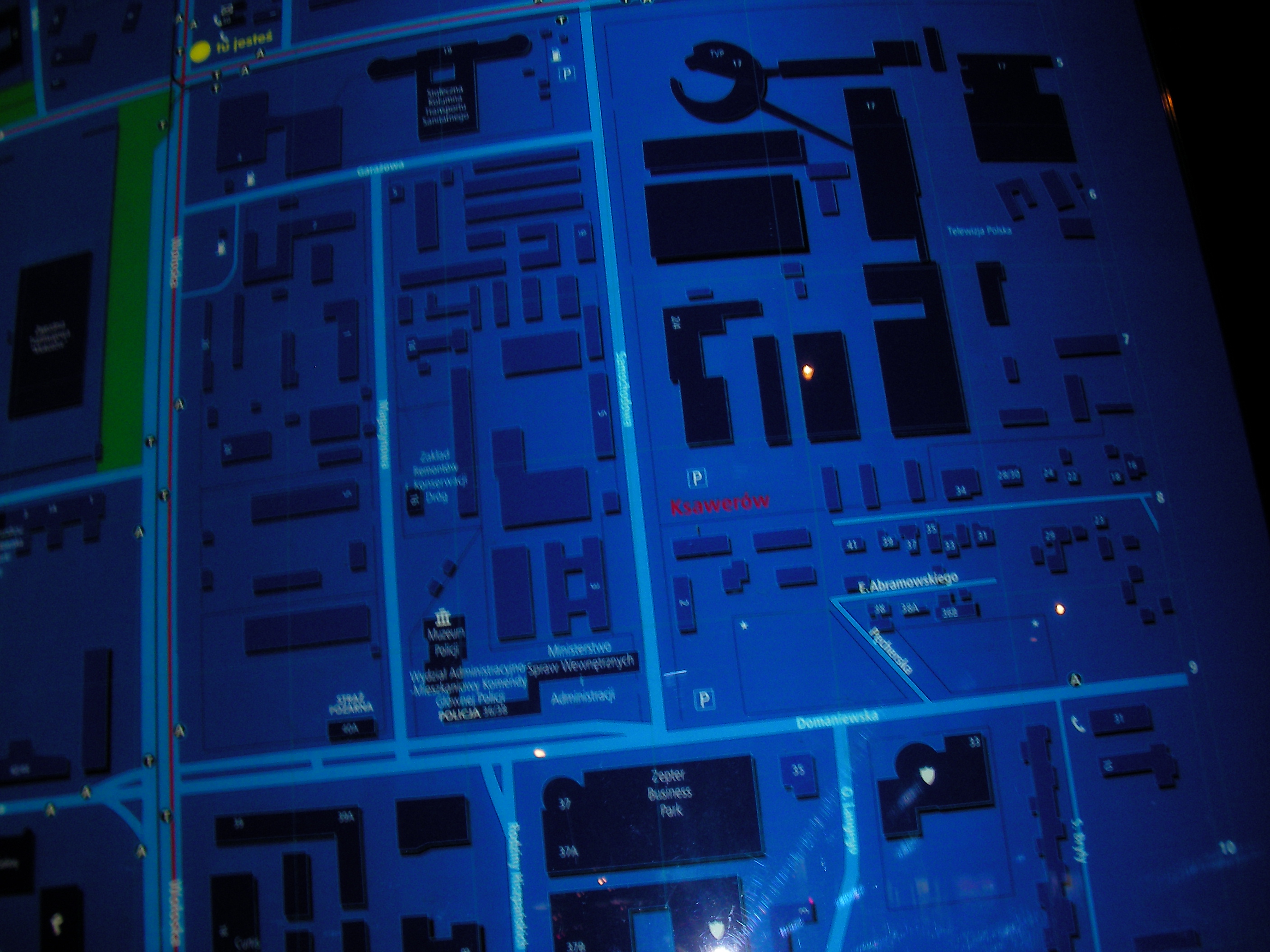
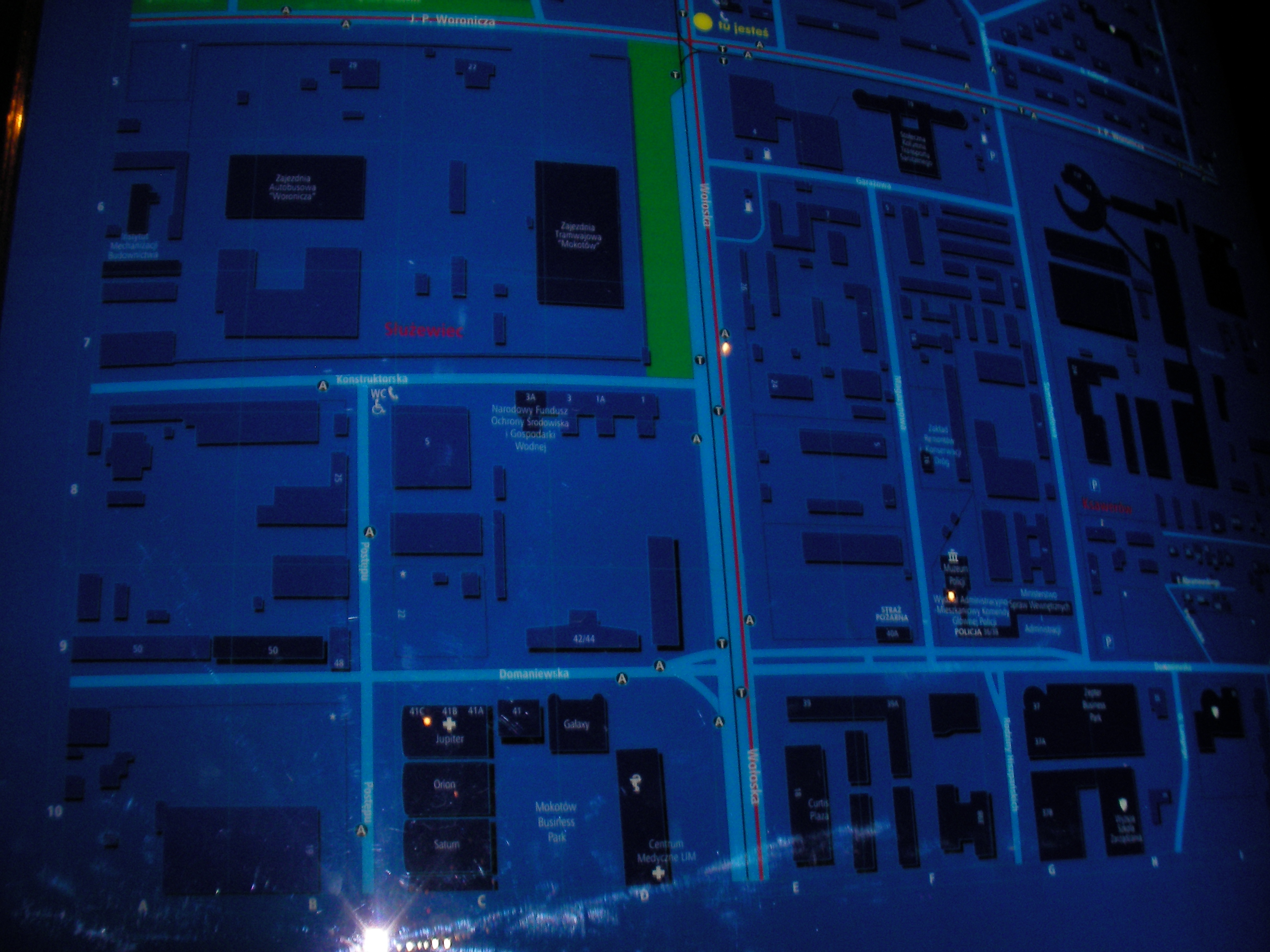
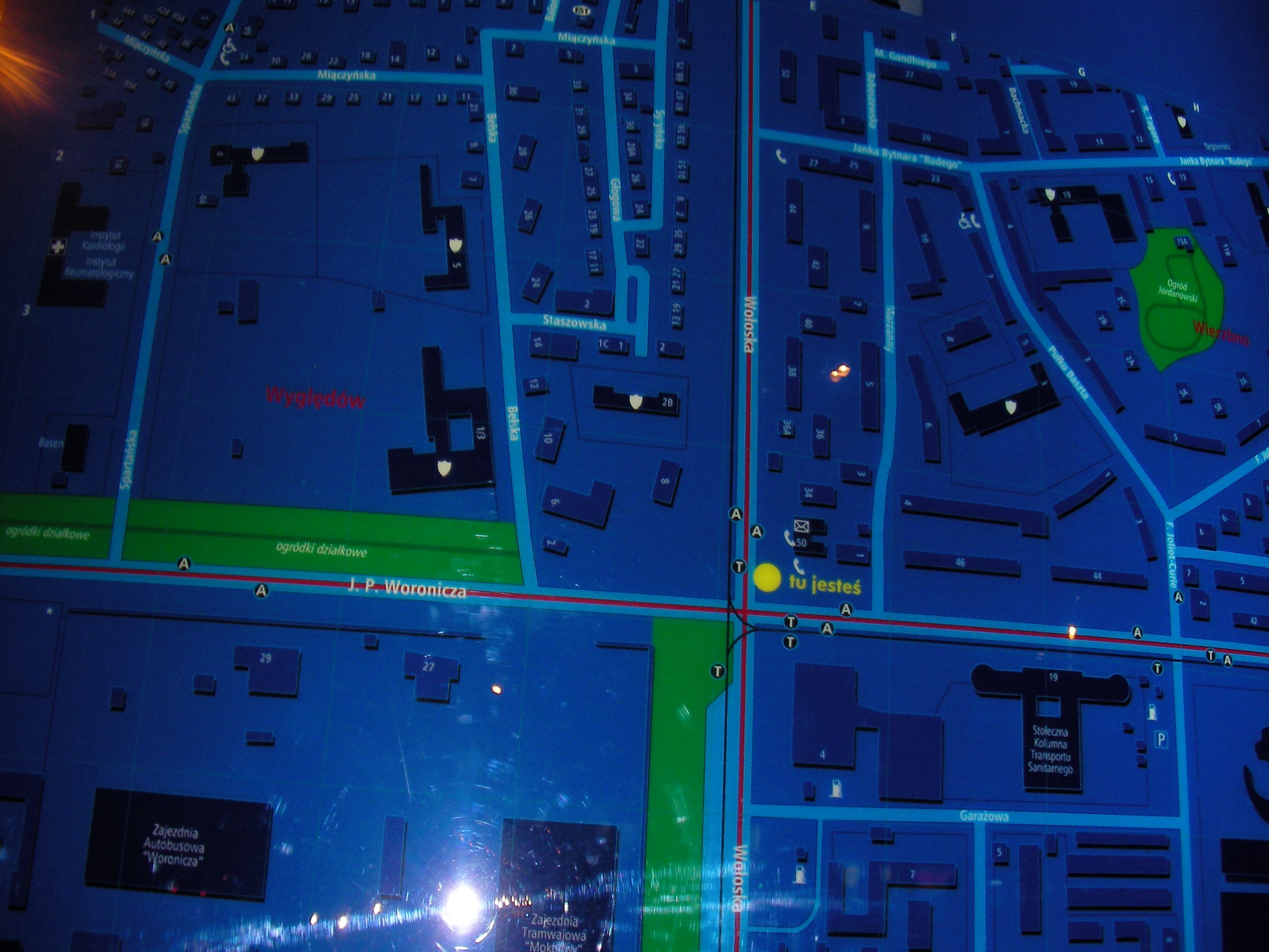
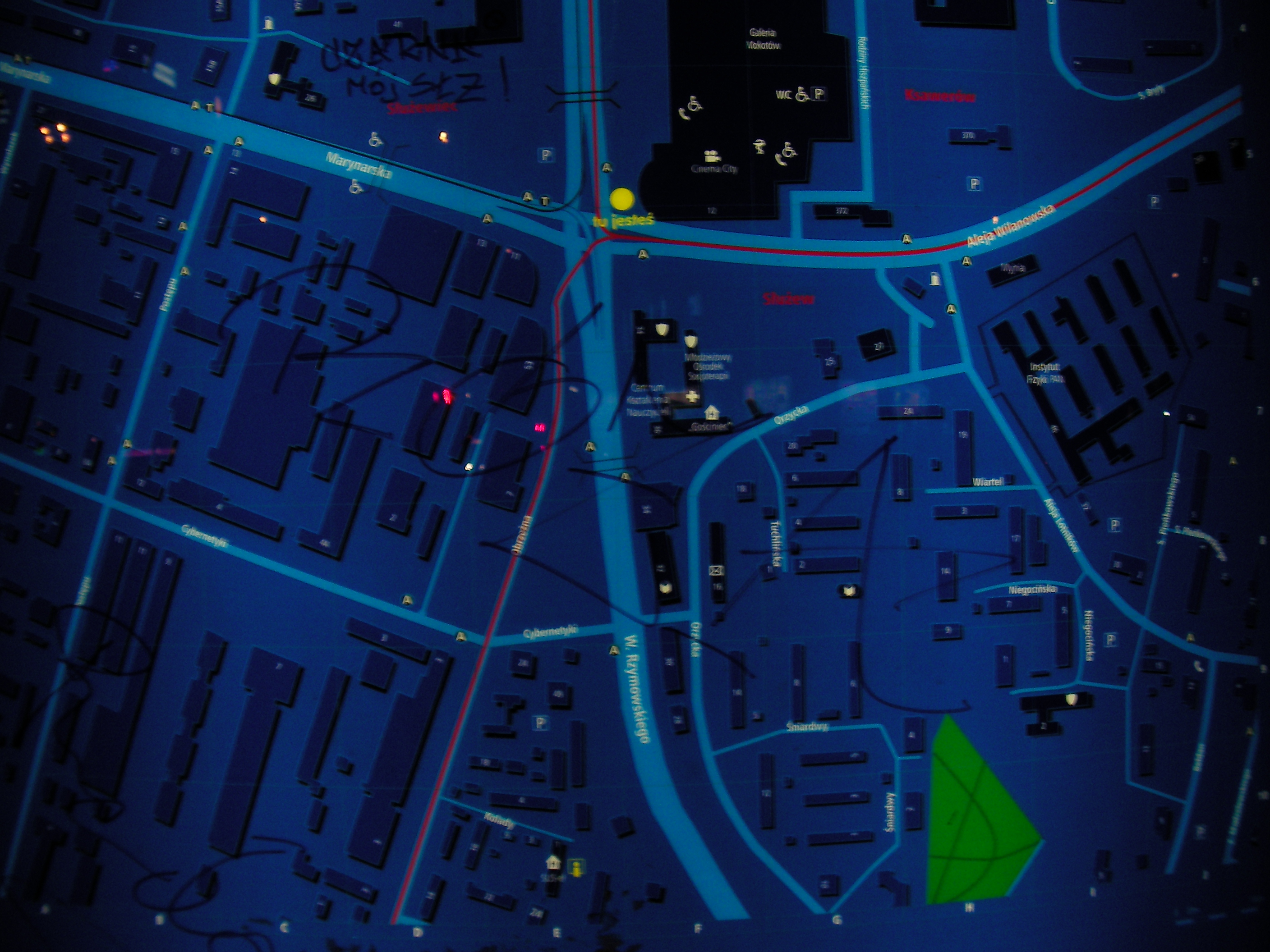
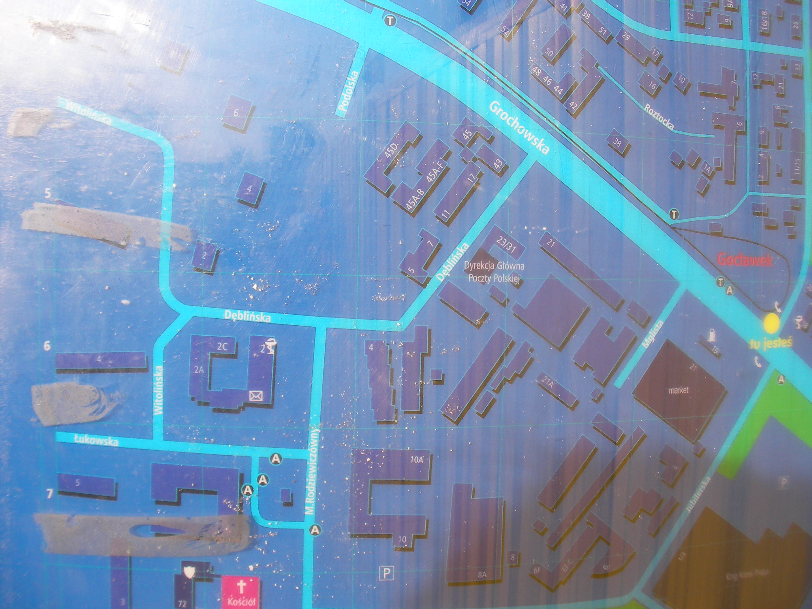
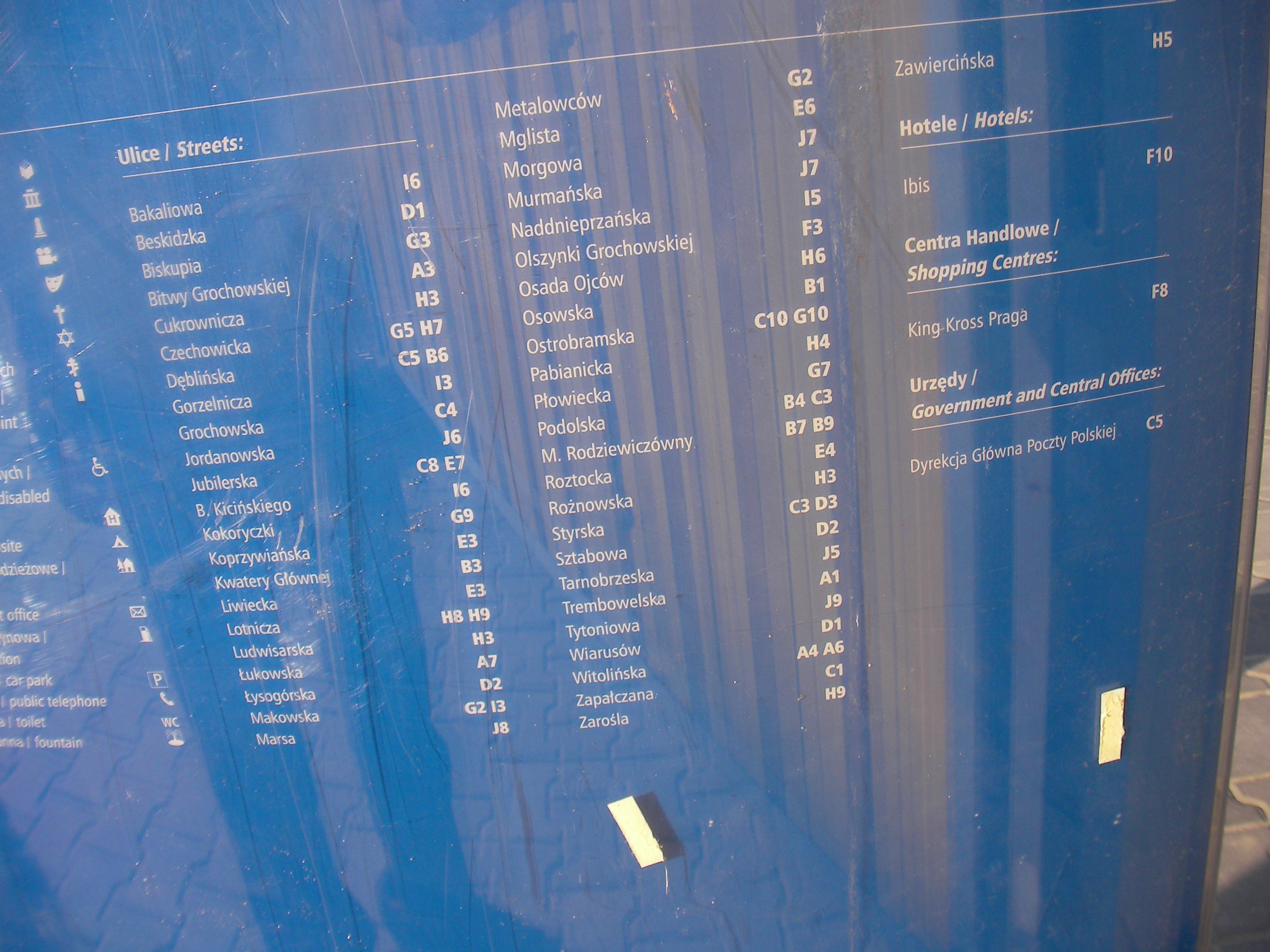
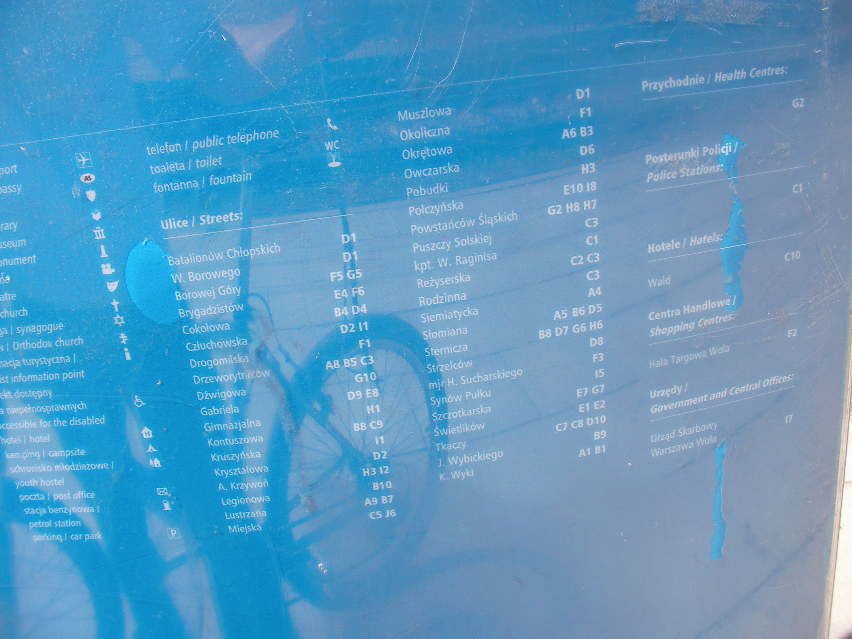
Warsaw MSI (Miejski System Informacji) is a set of signs with street names, house numbers and map posts installed throughout the city by the municipality.
Licensing
According to wikipedia (example) the point 1 of article 33 of Polish "copyright and related laws" states that copyright cannot be applied to creations / work posted permanently in publicly accessible streets, roads, squares or gardens.
By my interpretation that means quite clearly that the maps of districts installed by MSI in many places throughout Warsaw can be treated as in Public Domain and all information on them can be freely copied to OSM. I've not yet copied anything from them but I want to start doing that in a month or two if there isn't any new insight into the copyrighting. Comments are welcome. Balrog 14:19, 11 January 2009 (UTC)
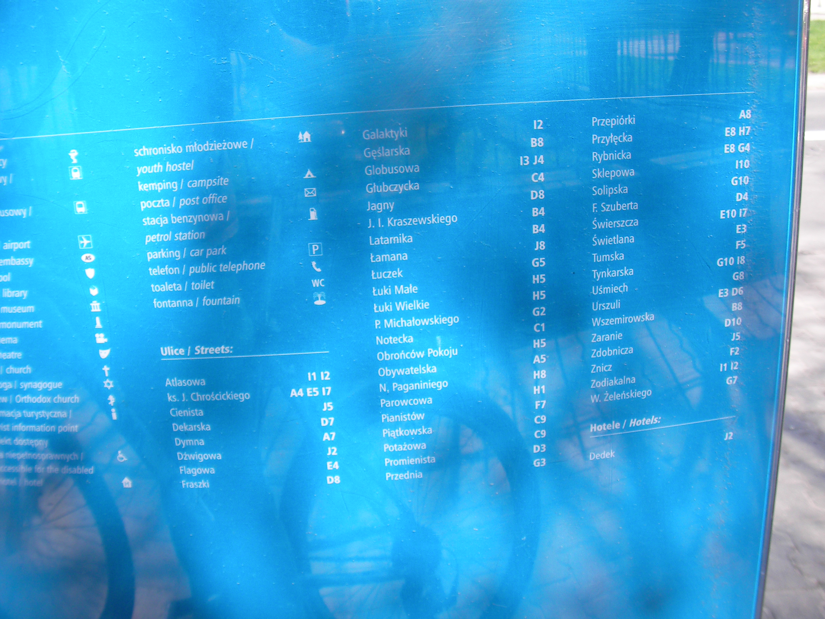
Contents
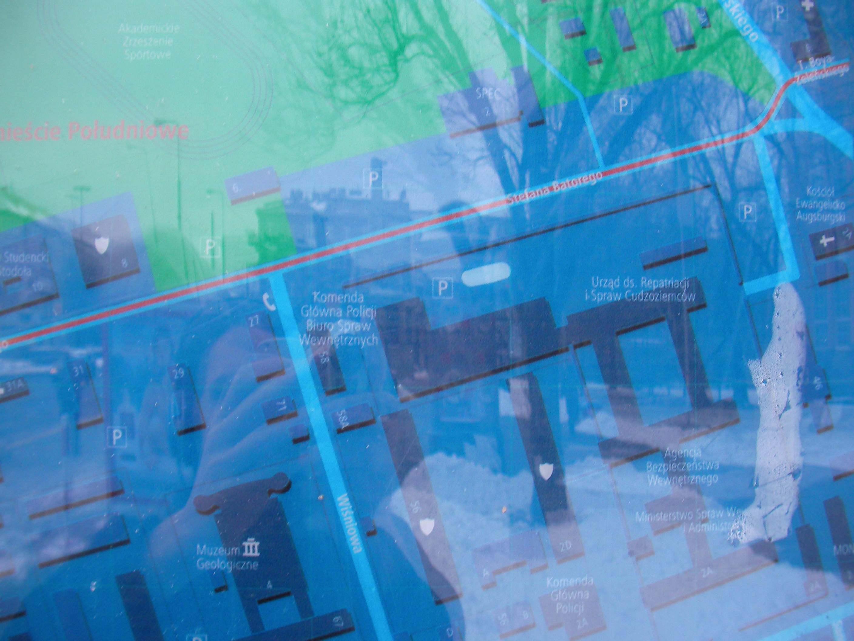
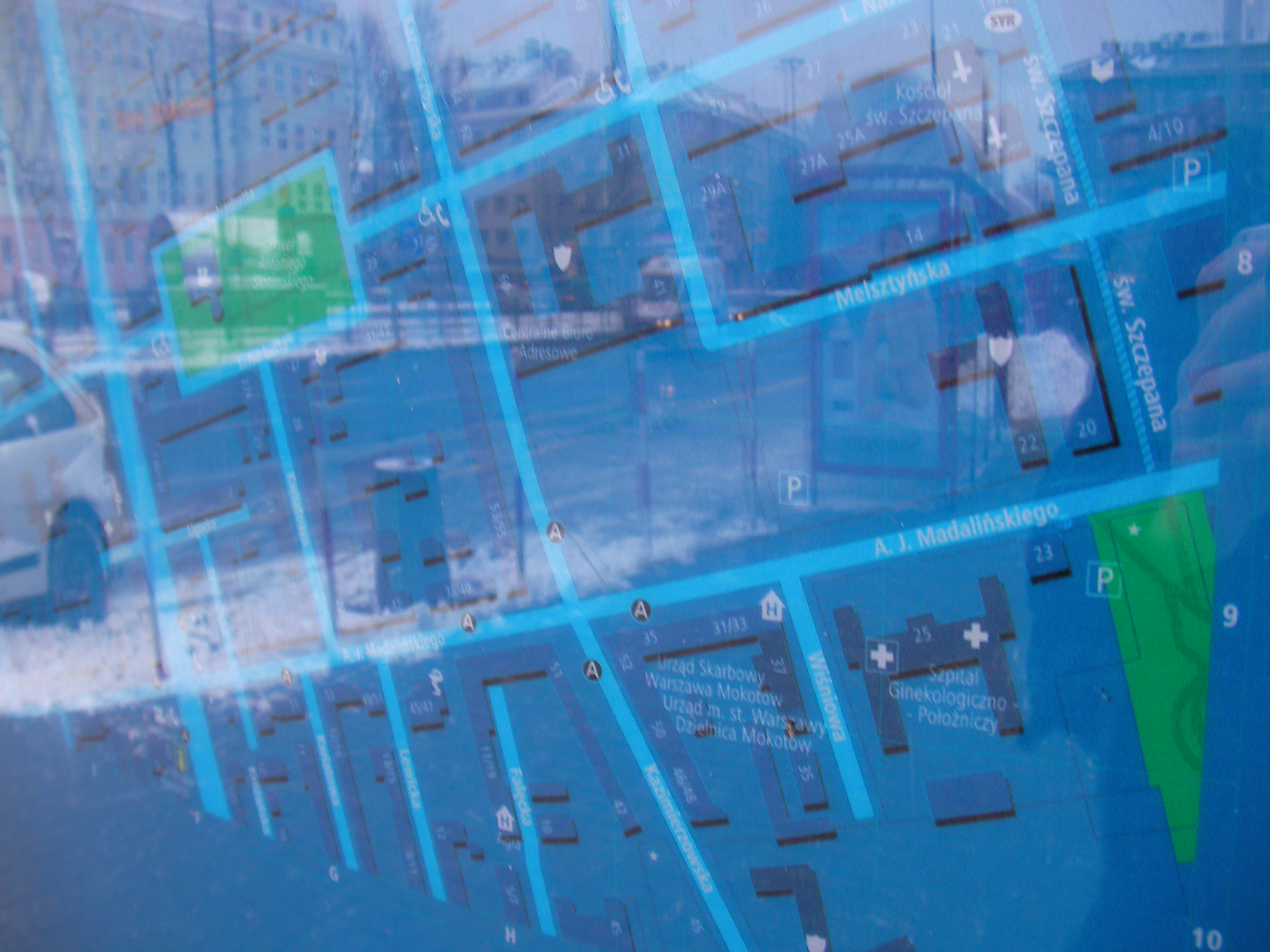
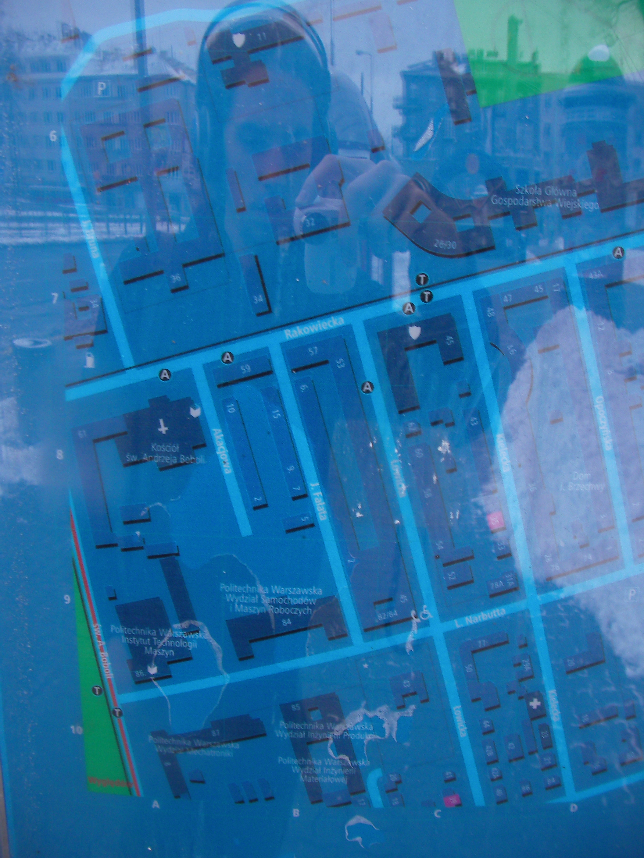
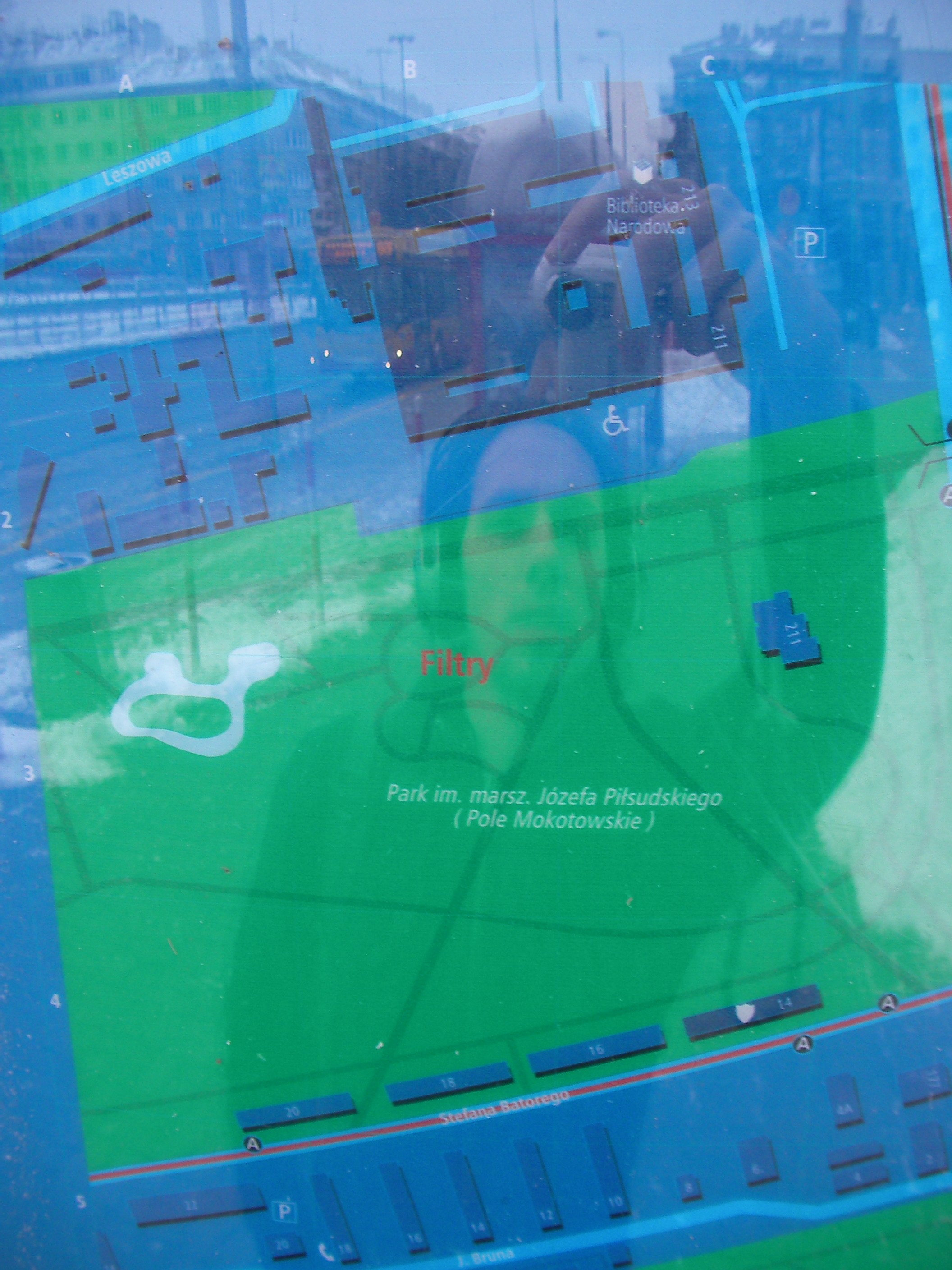
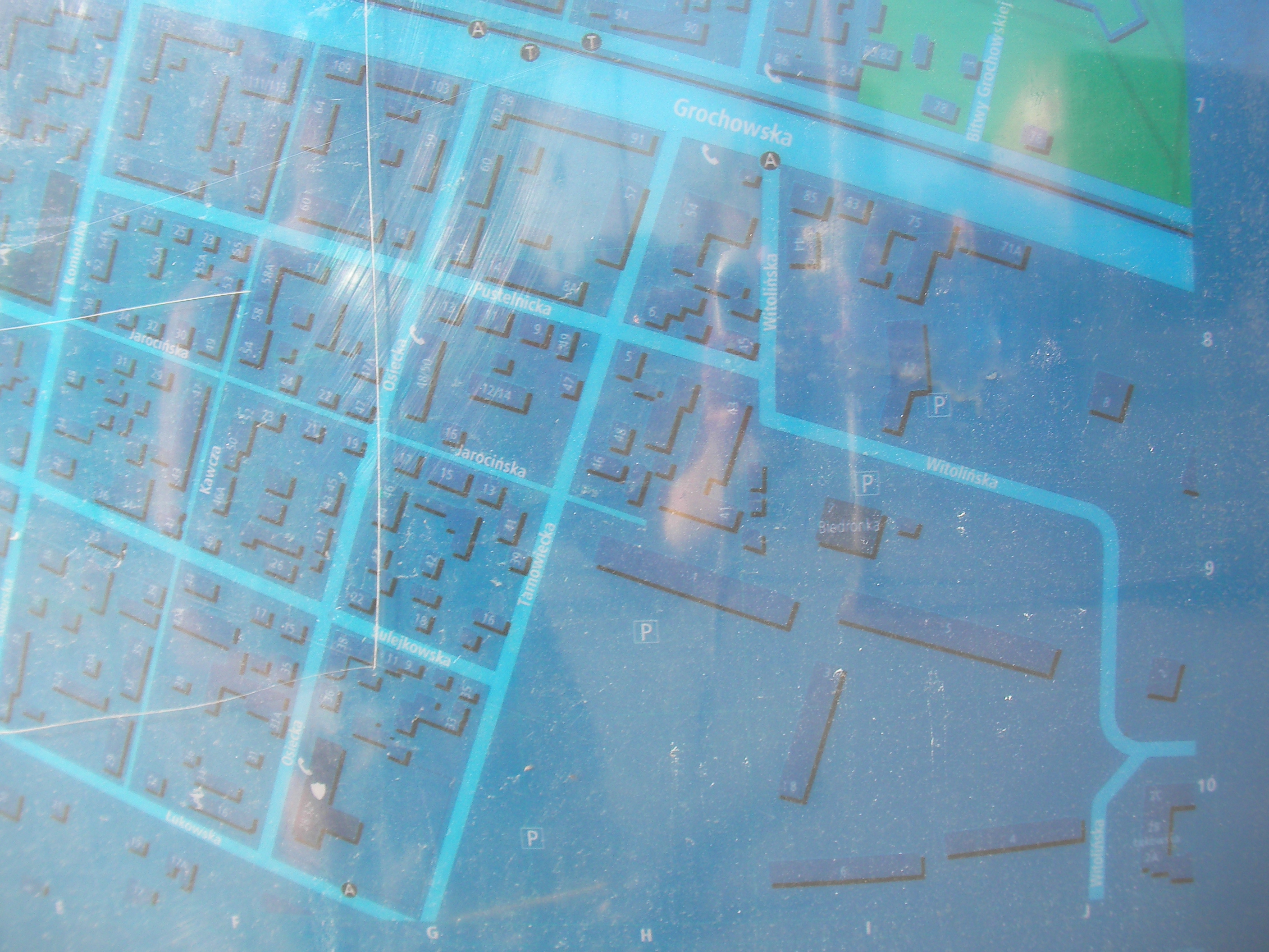
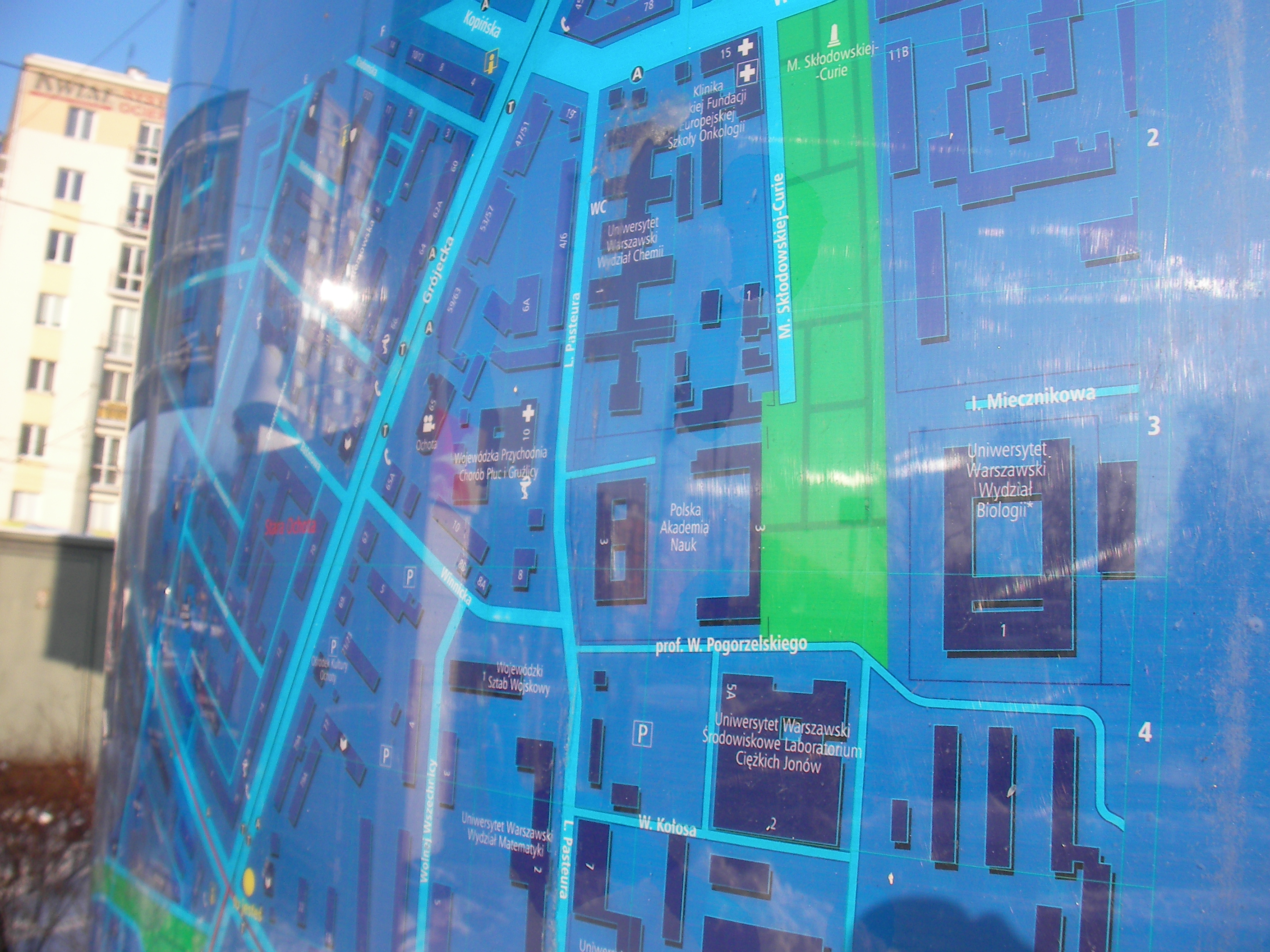
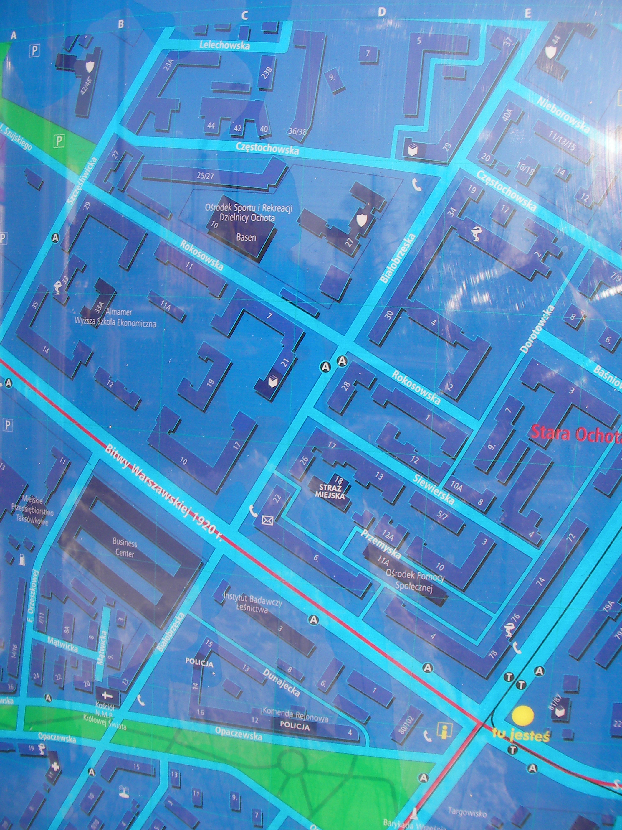
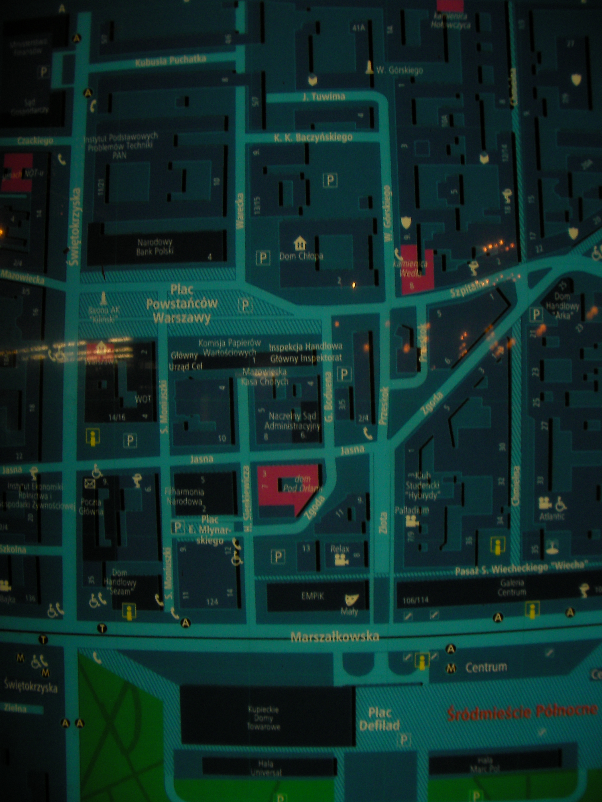
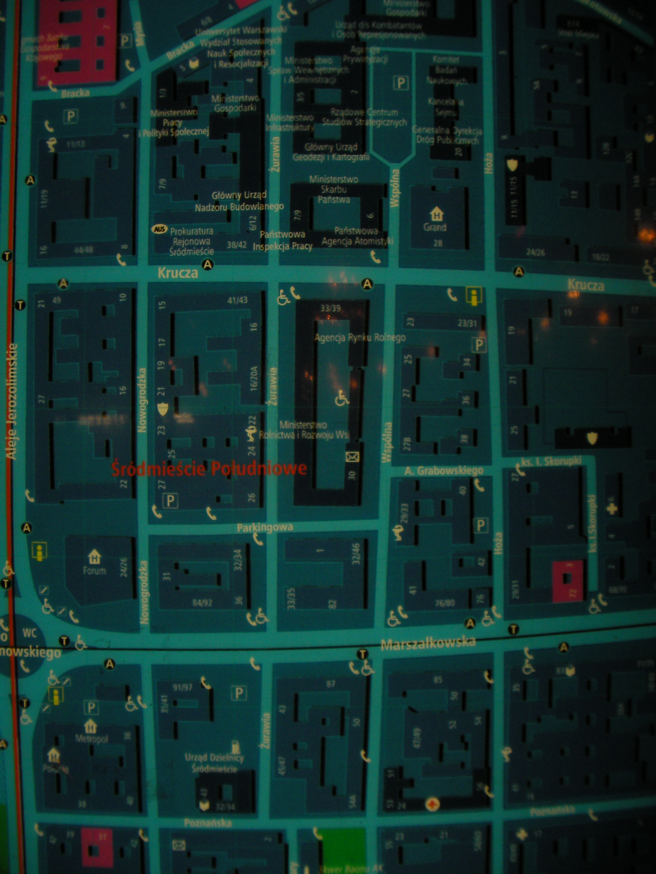
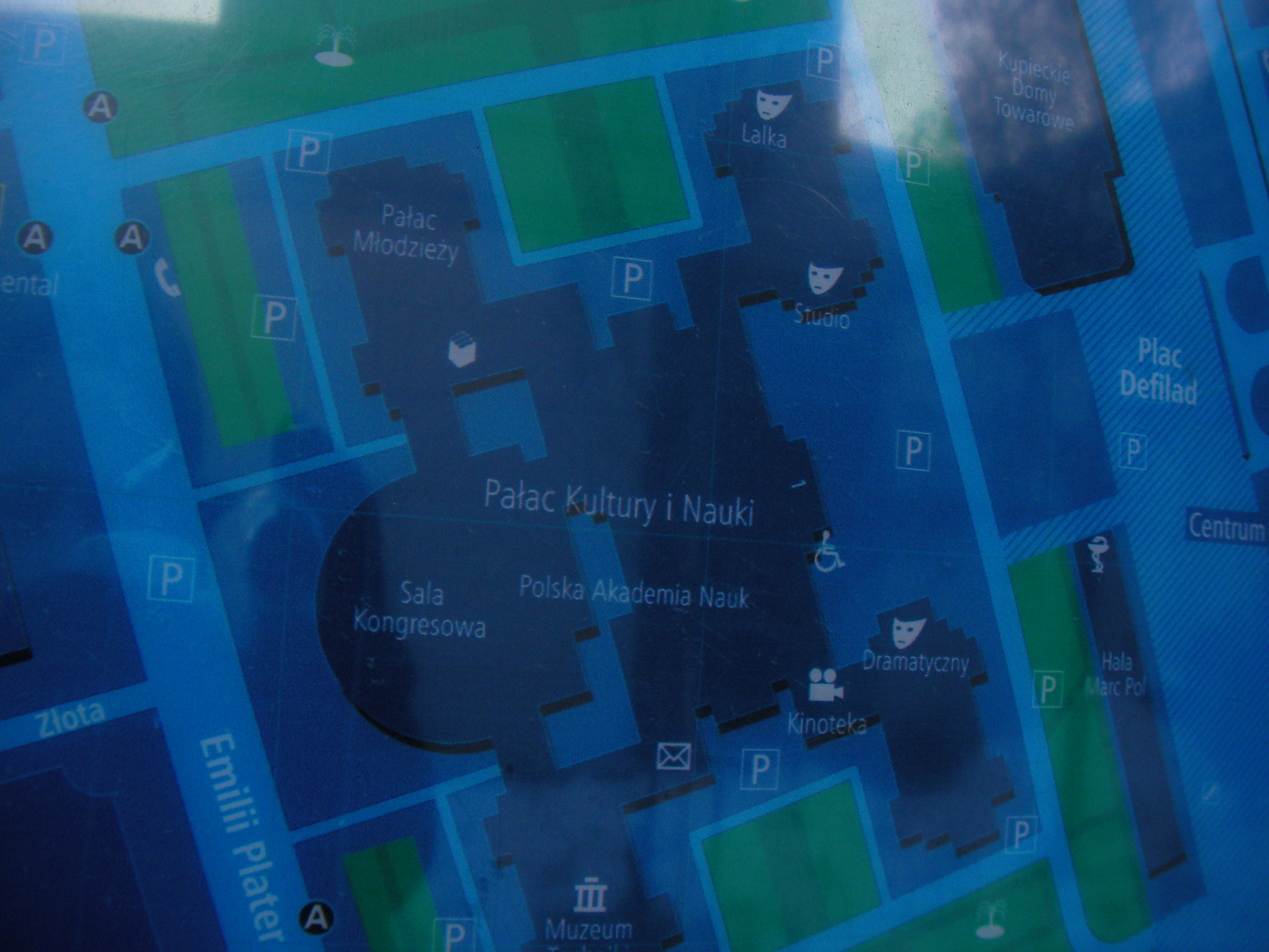
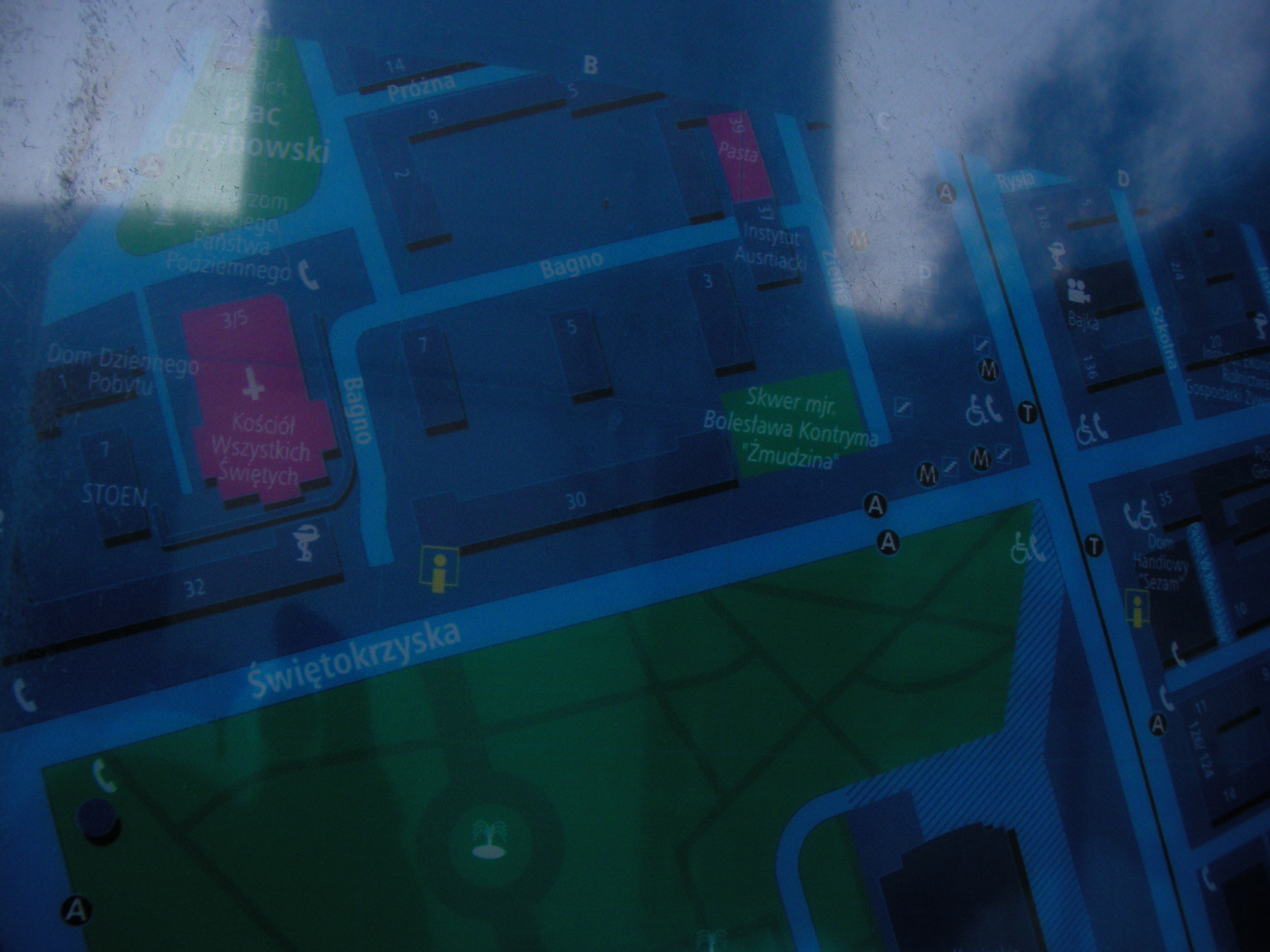
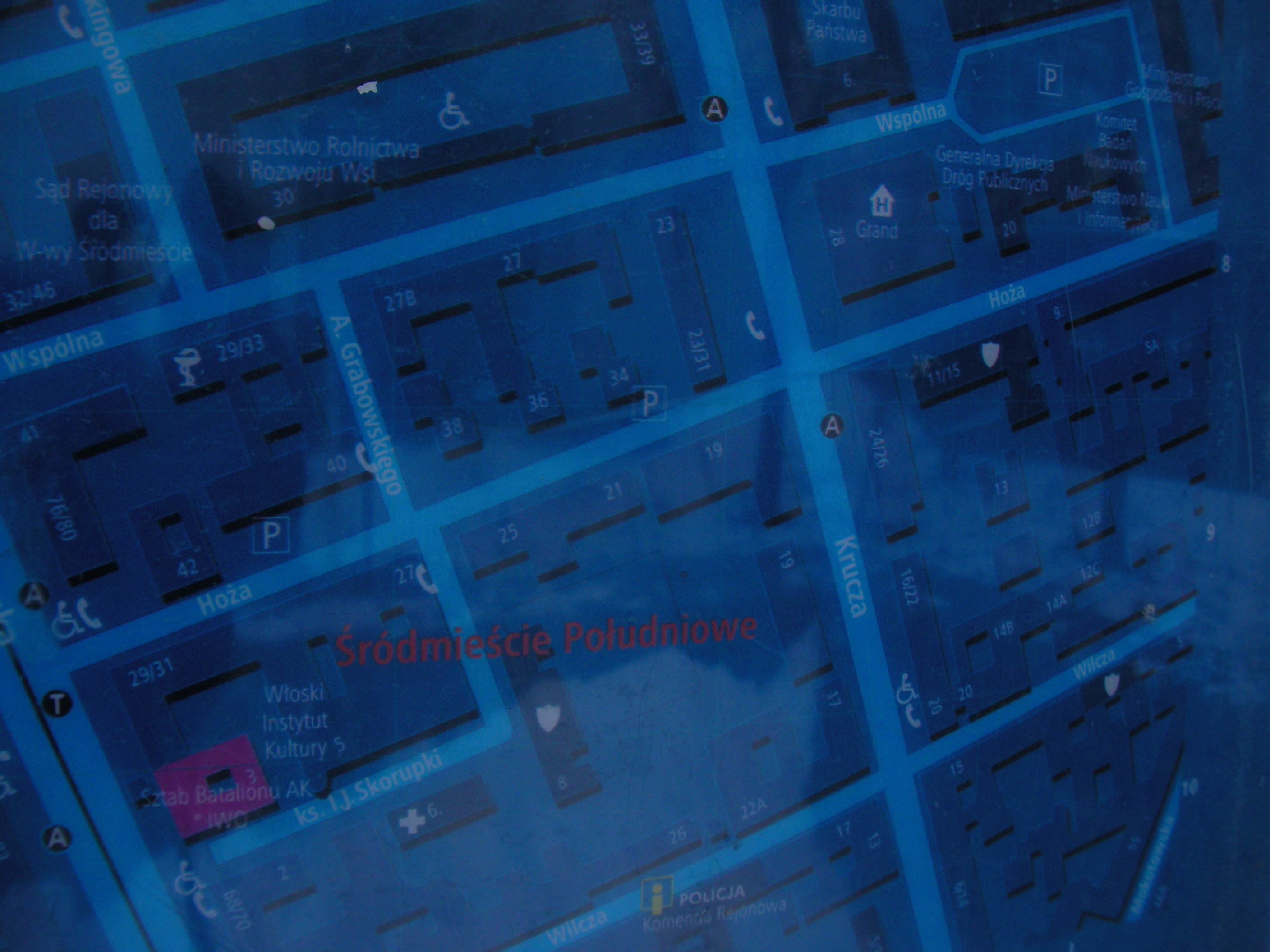
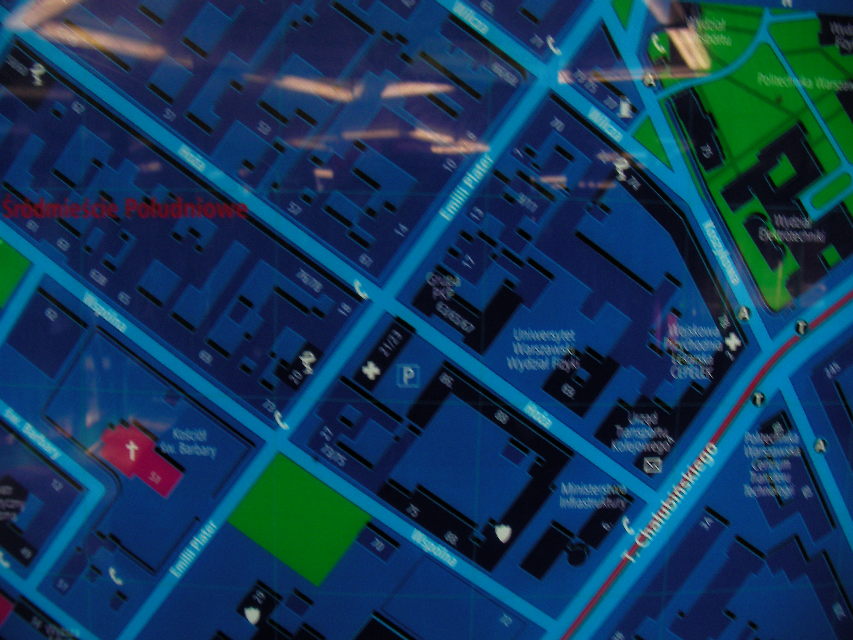
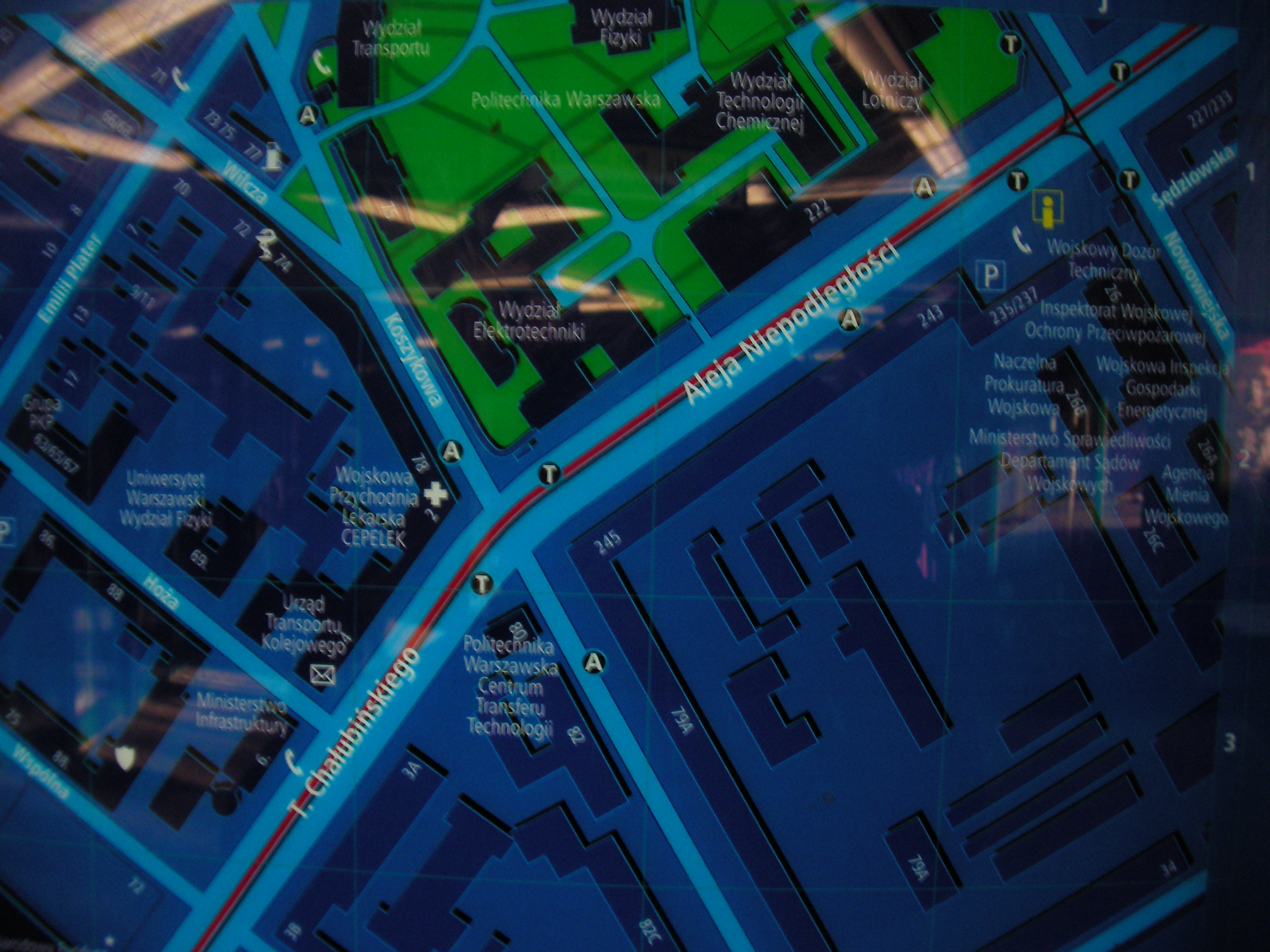
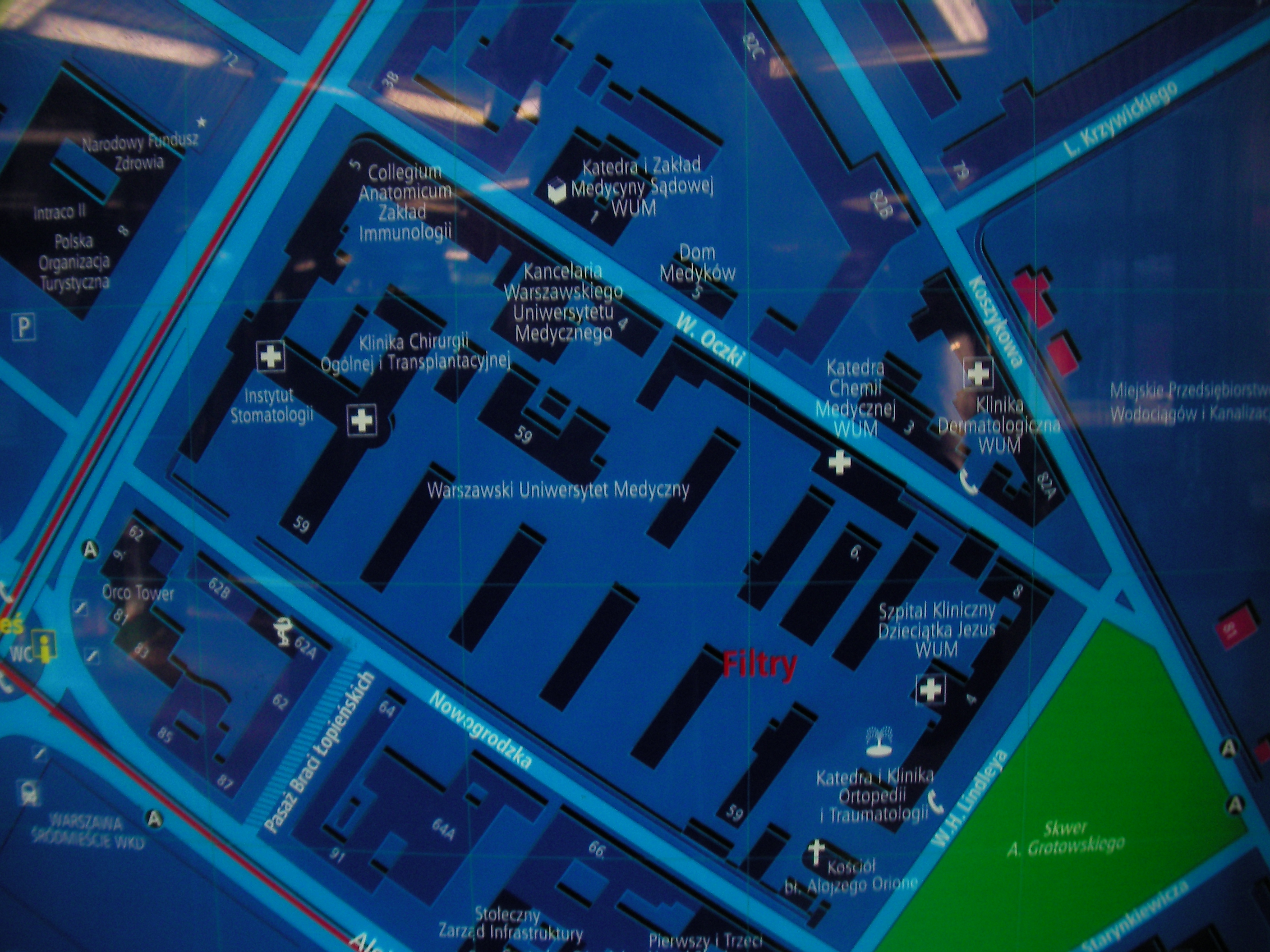
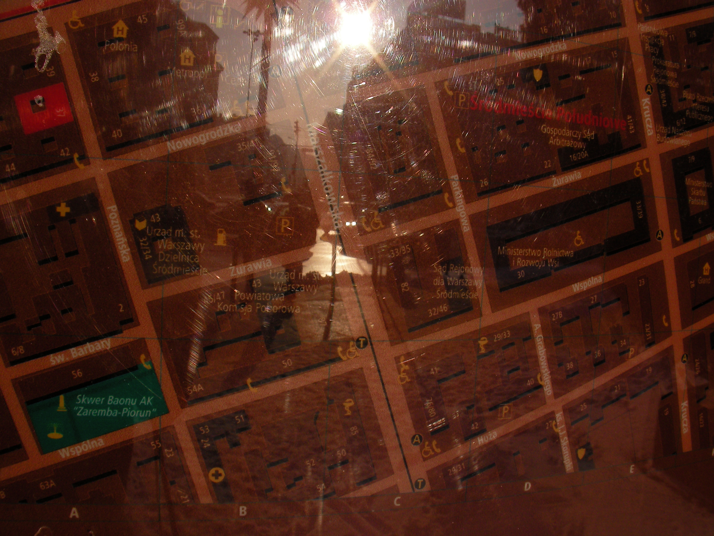
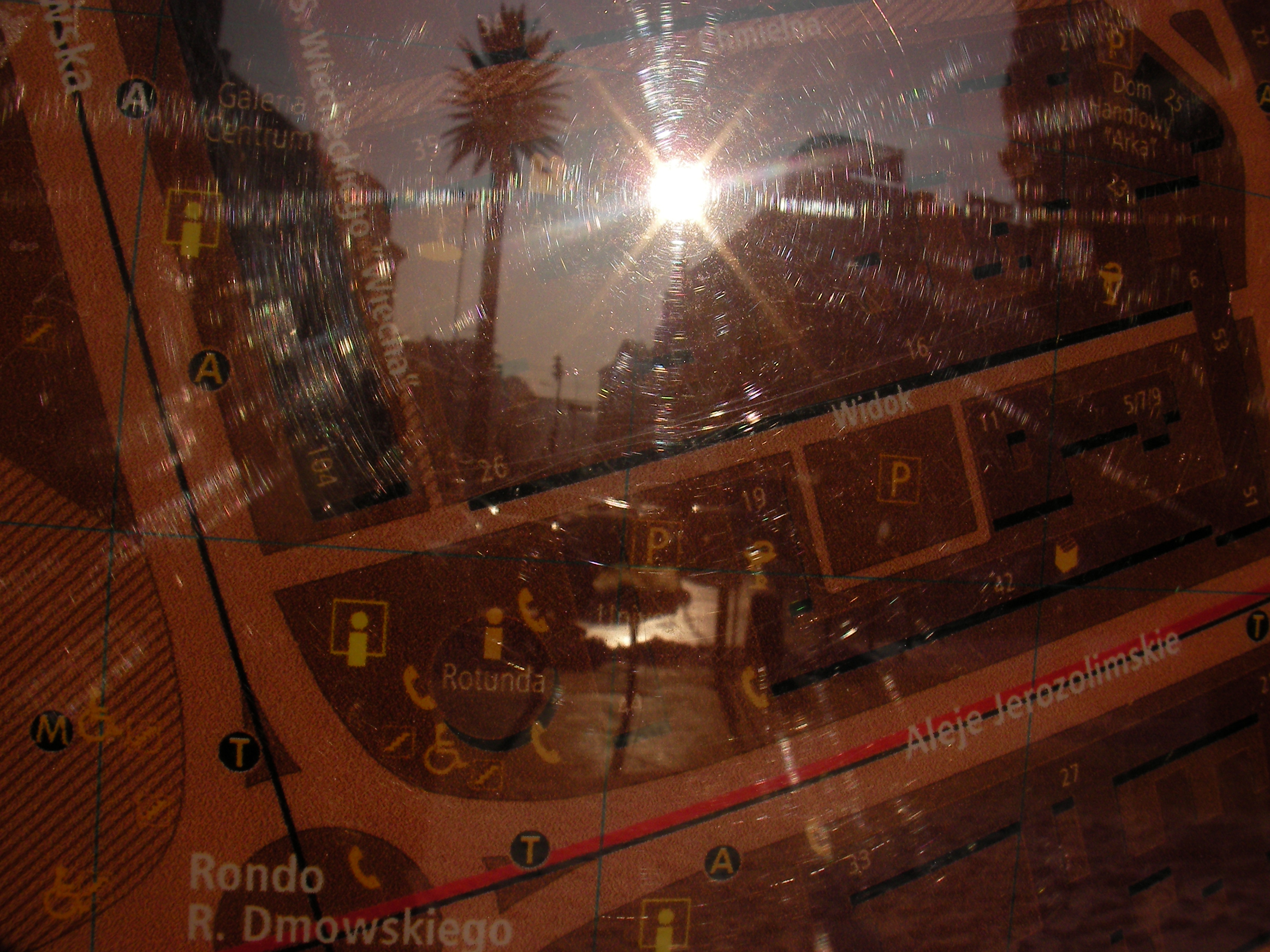
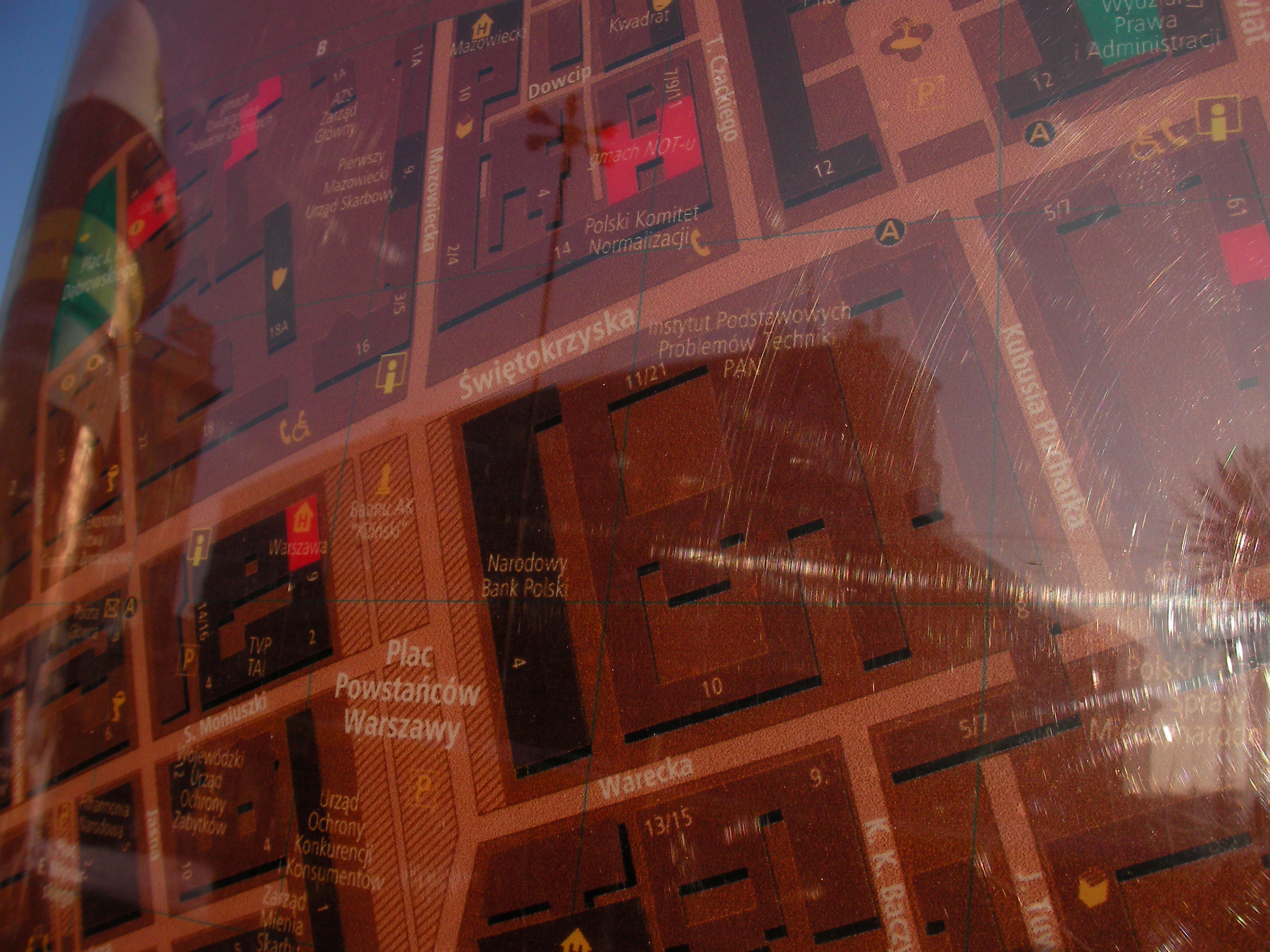
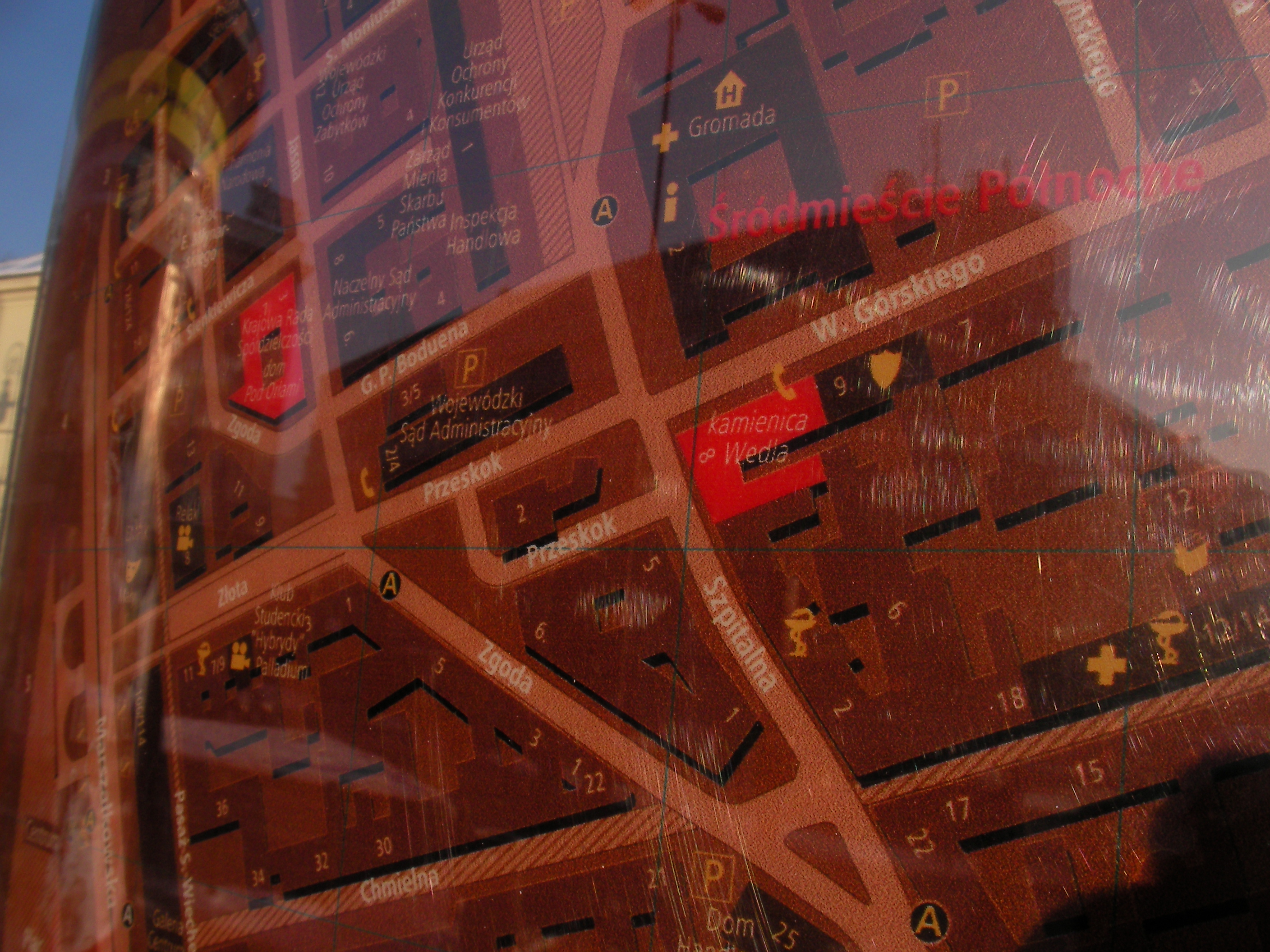
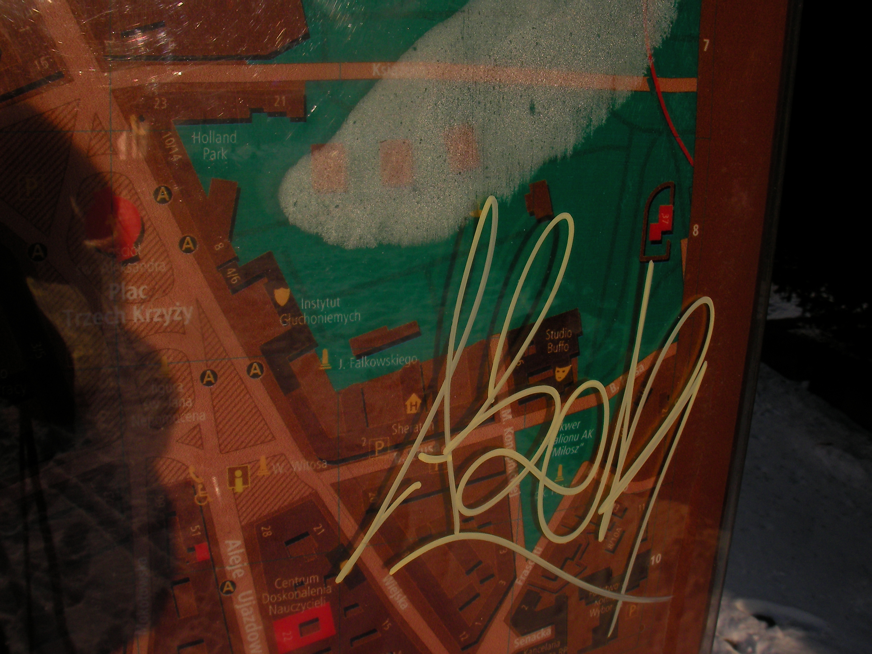
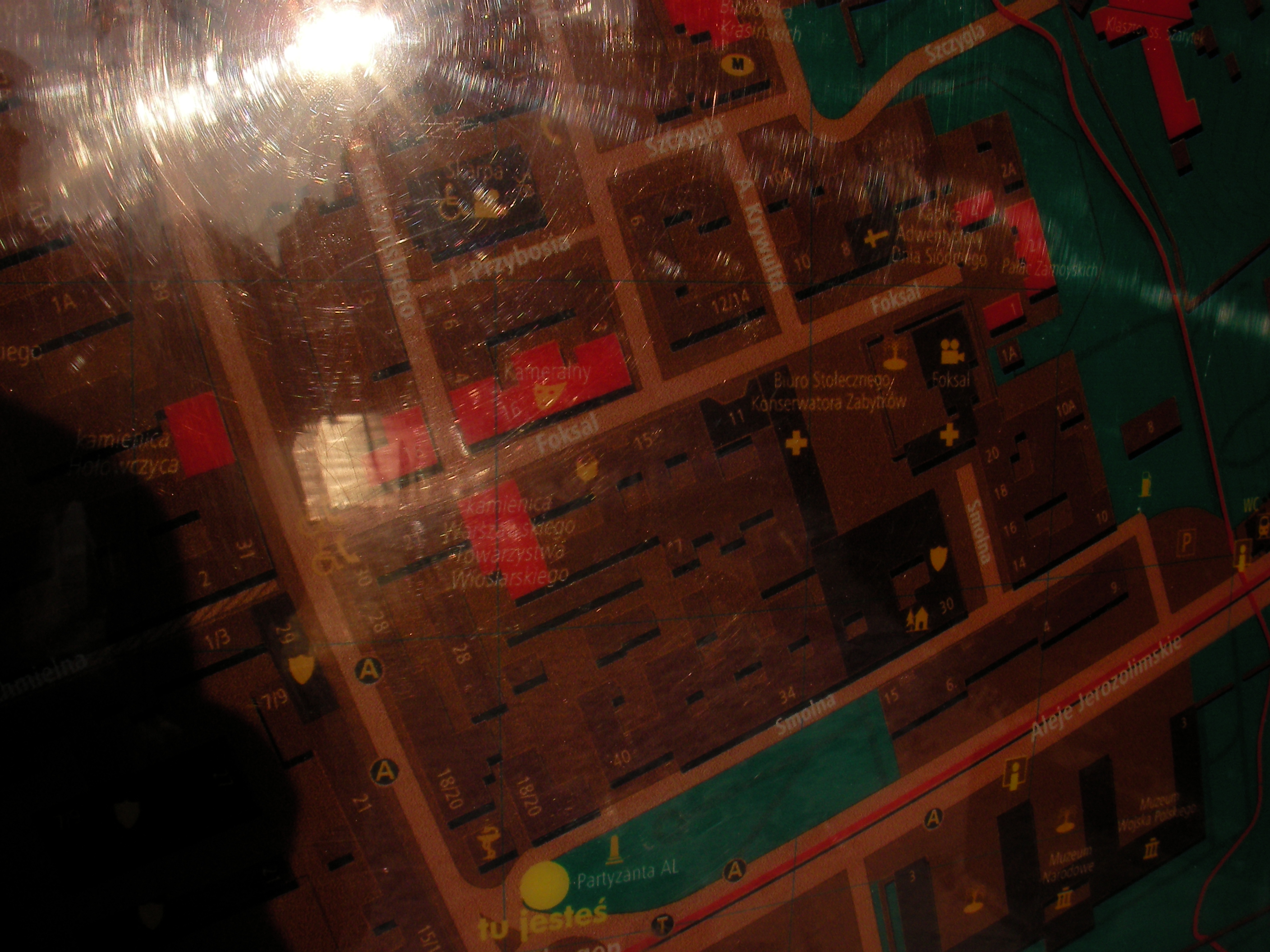
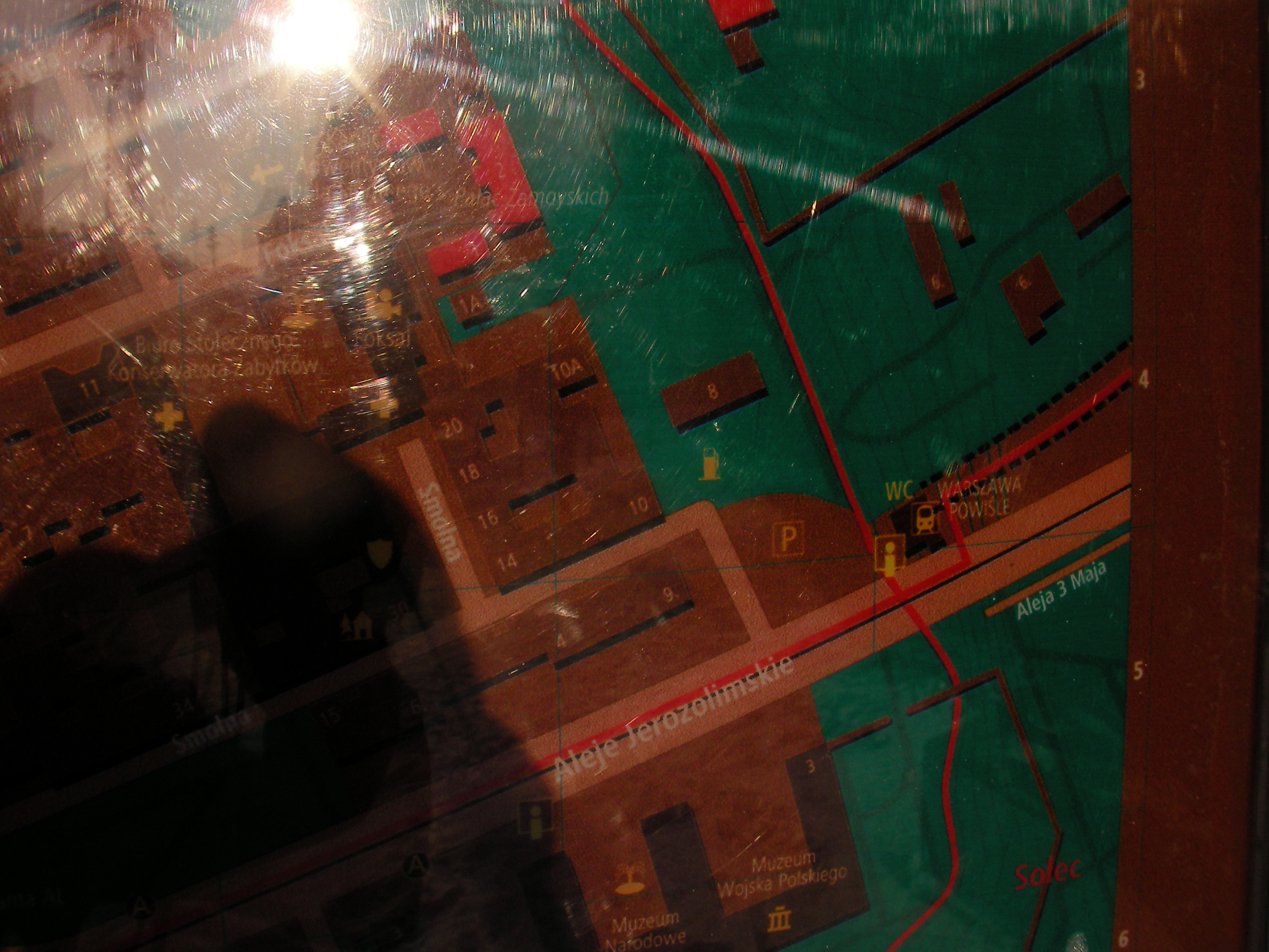
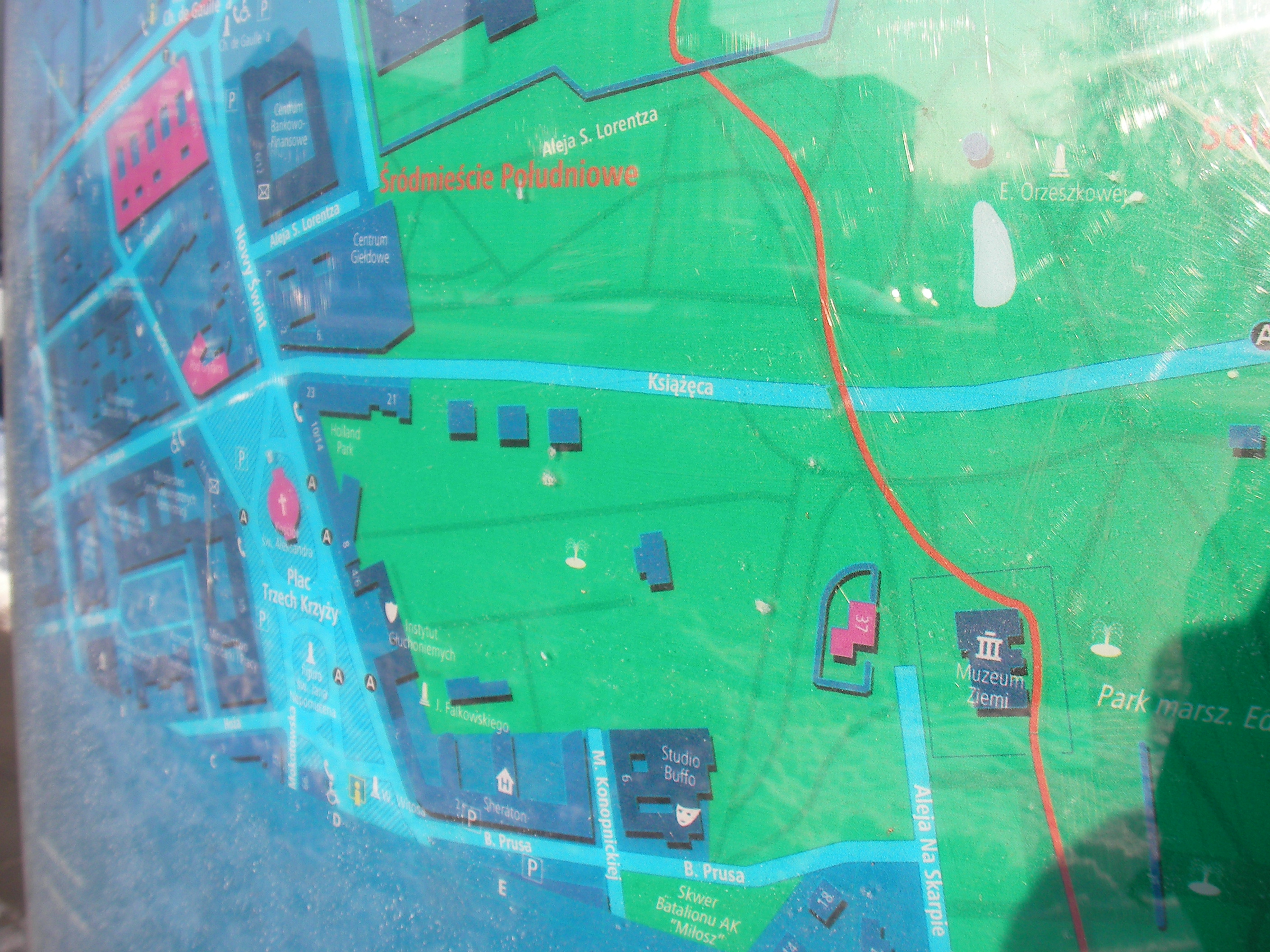
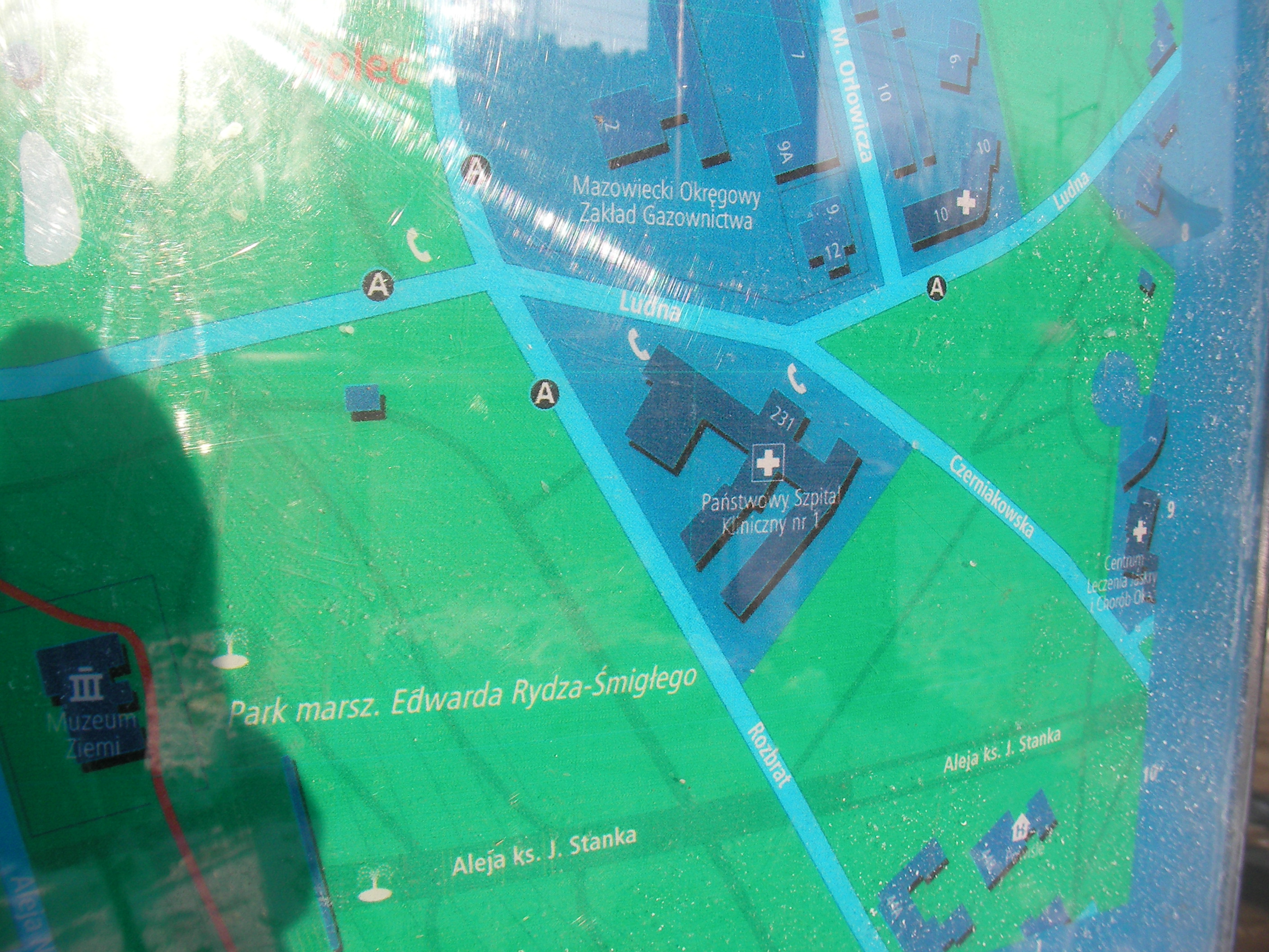
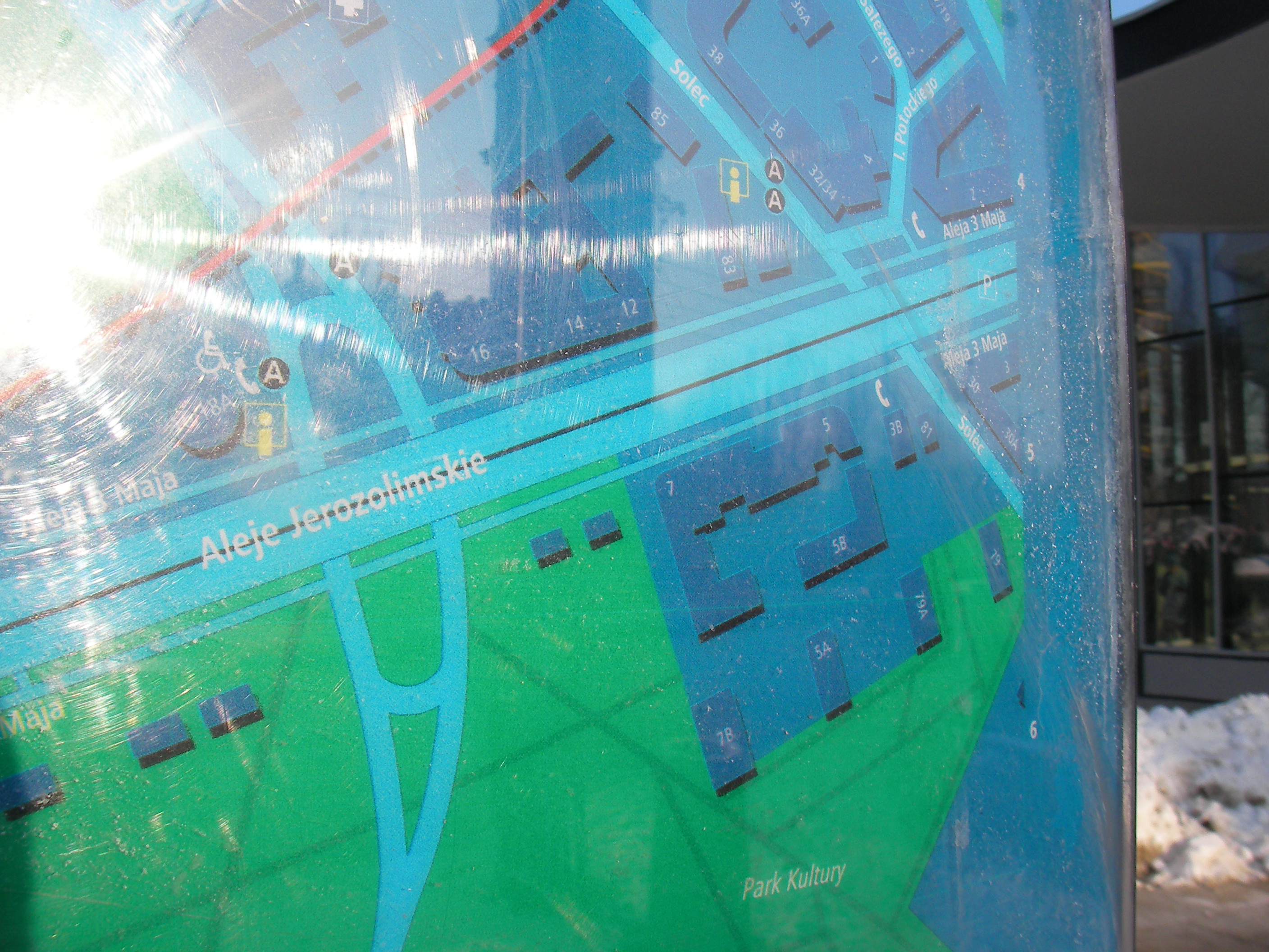
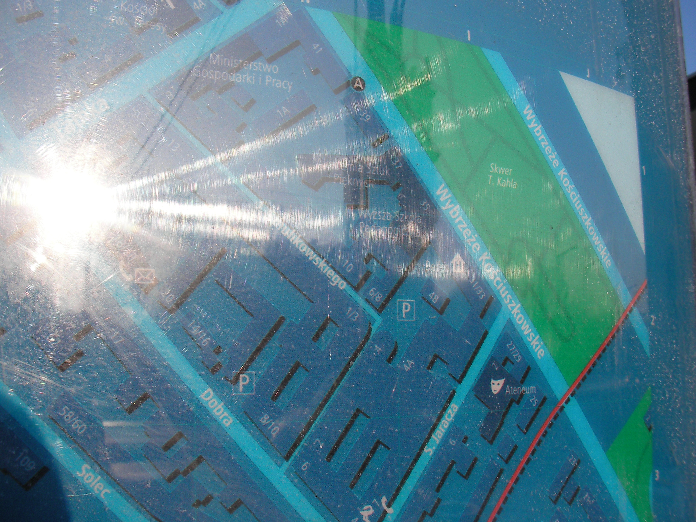
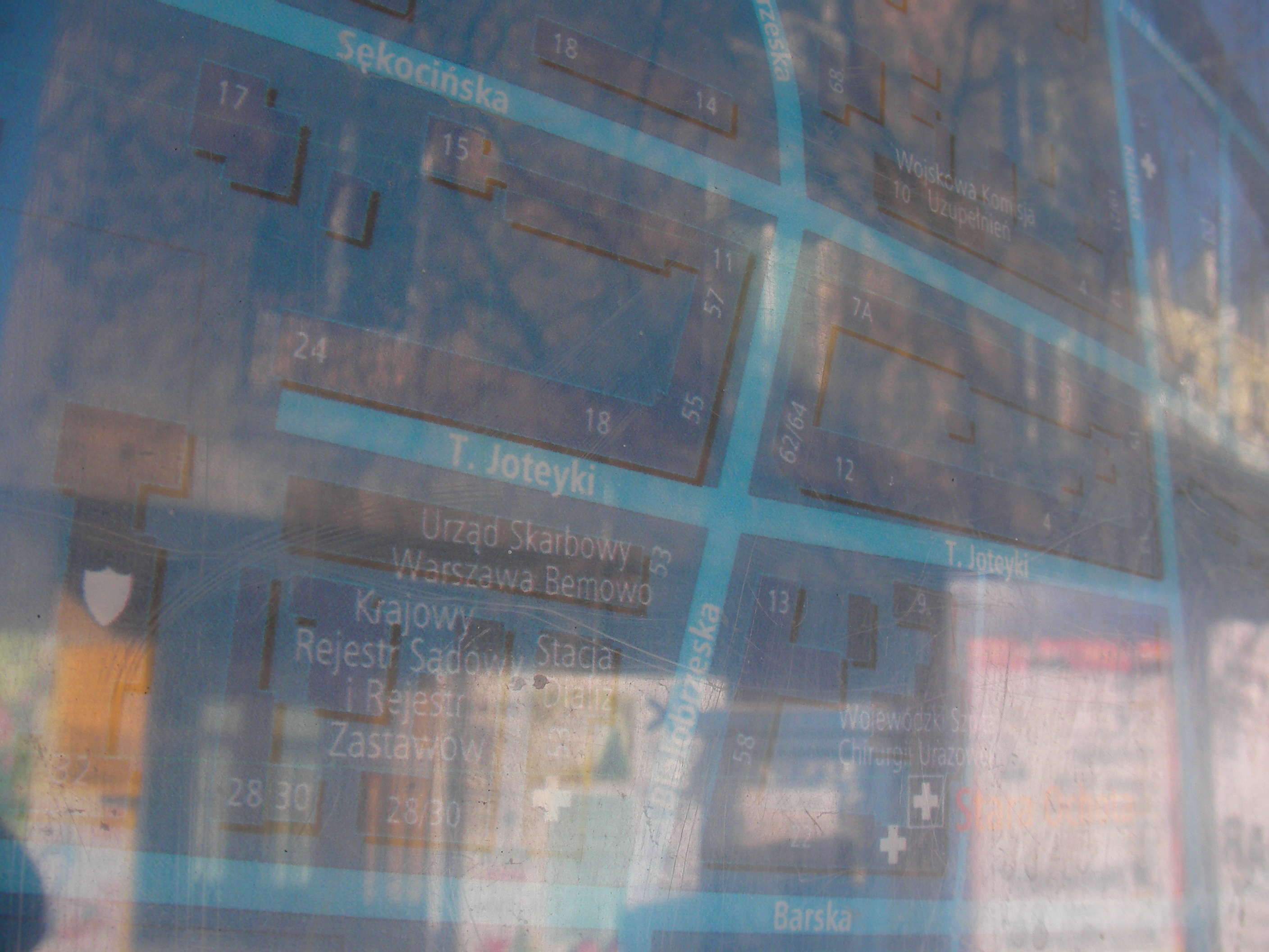
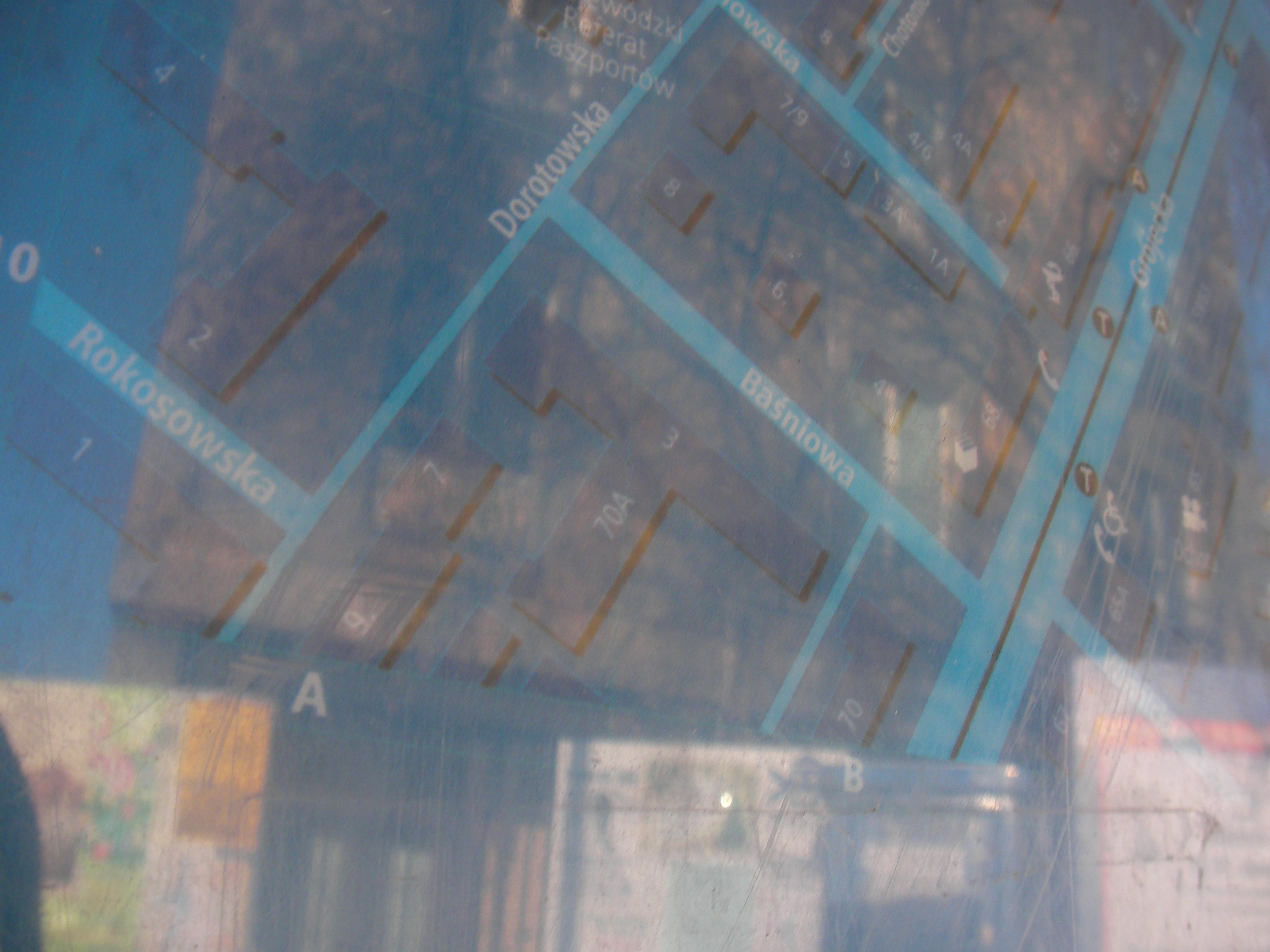
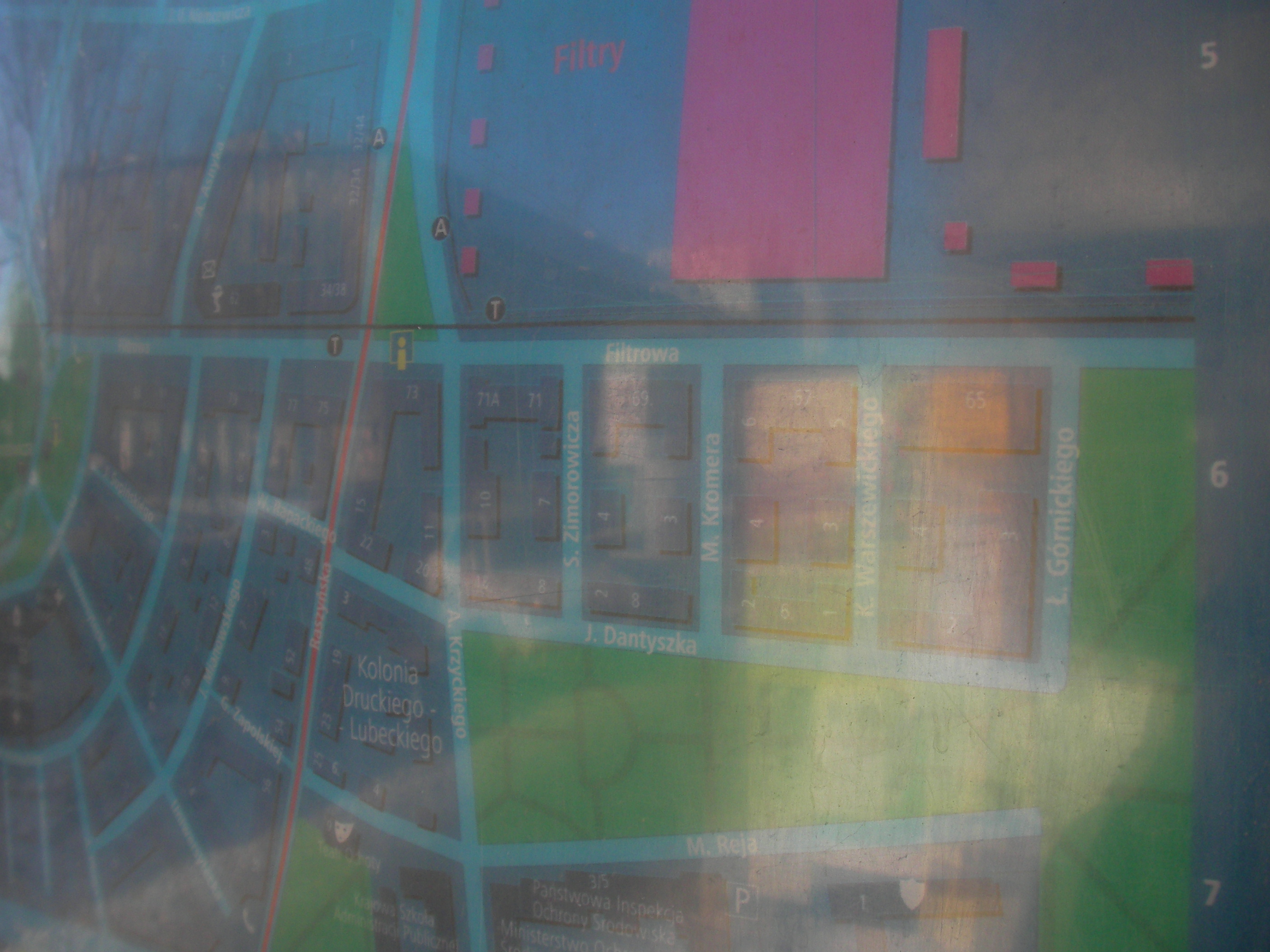
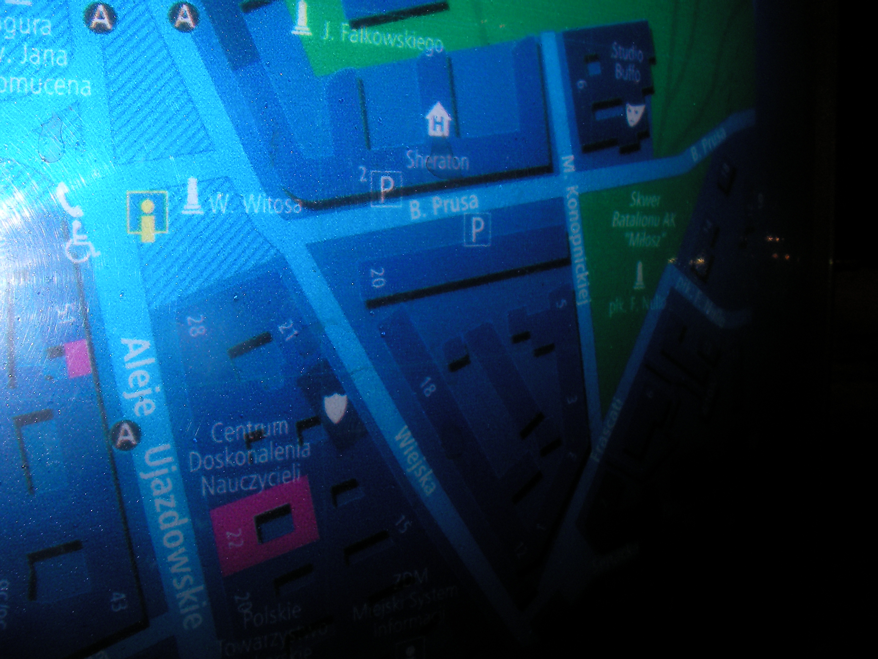
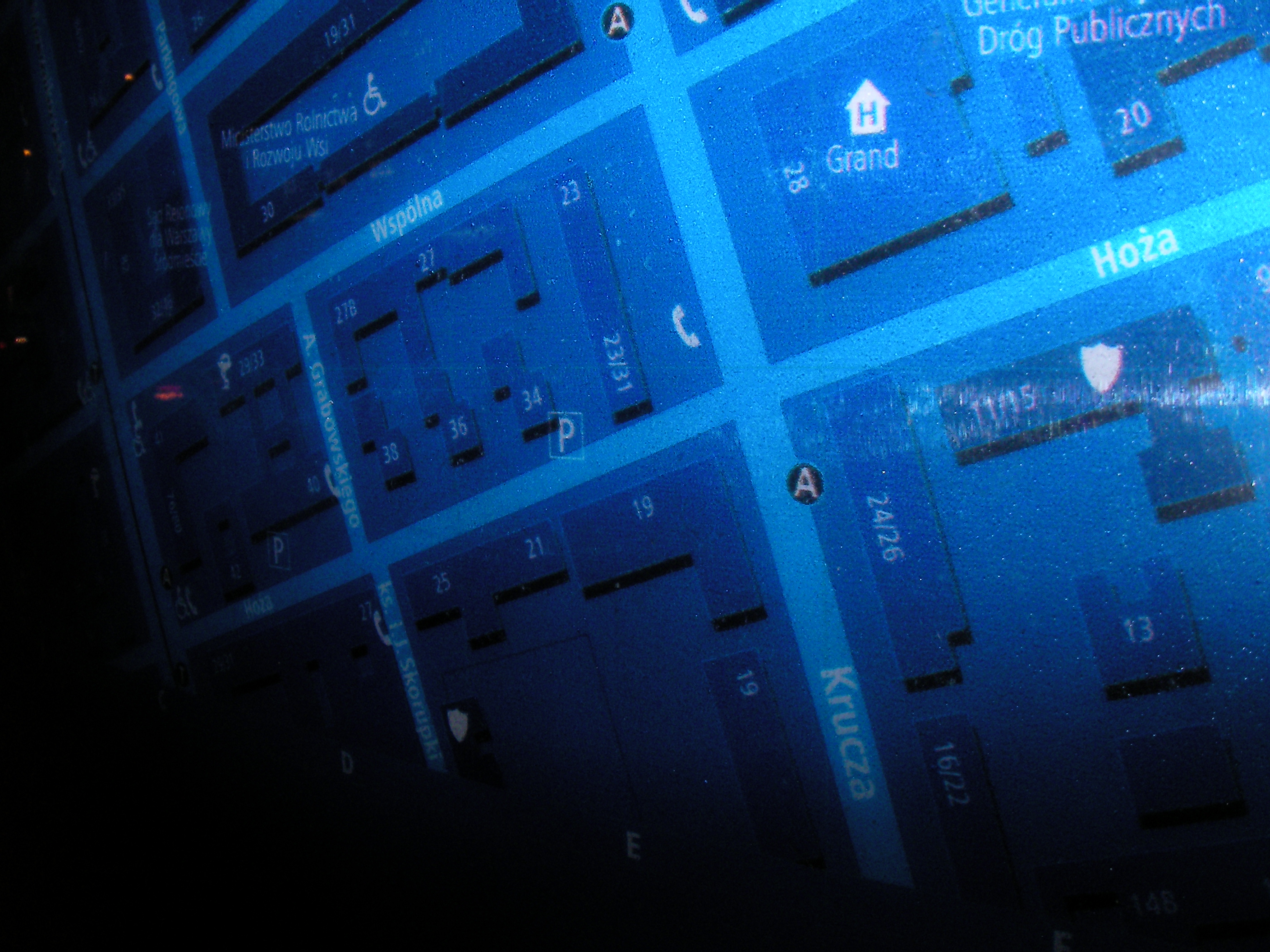
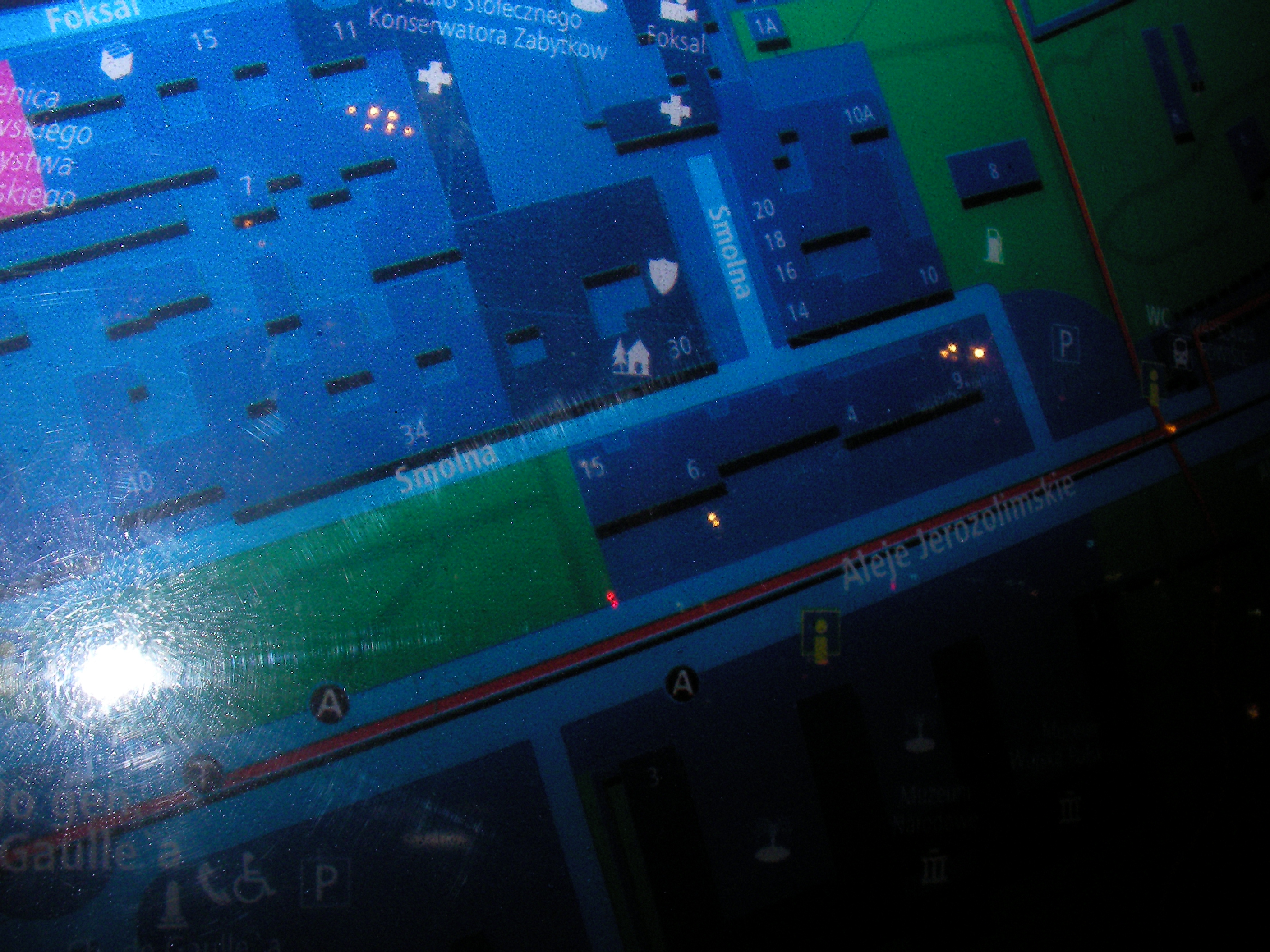
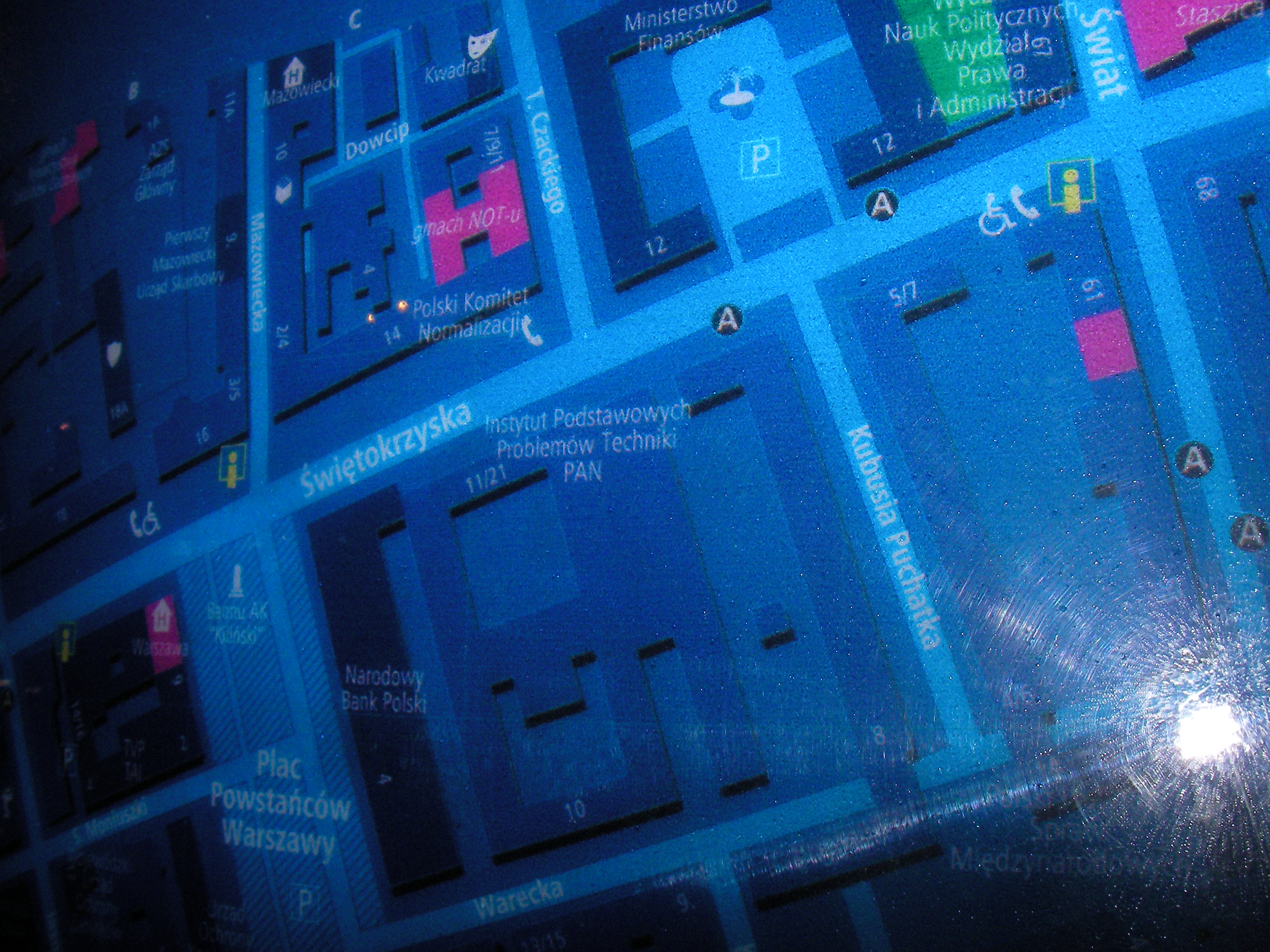
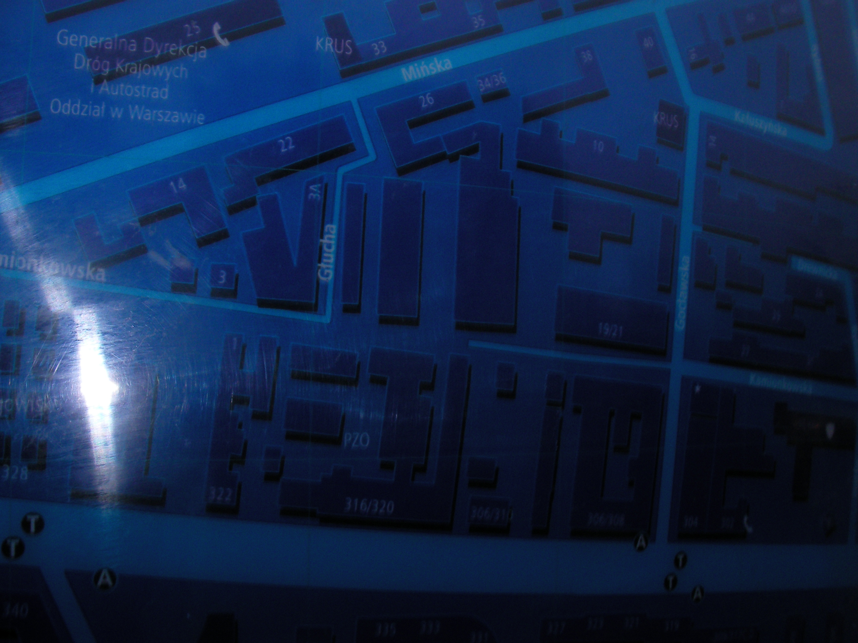
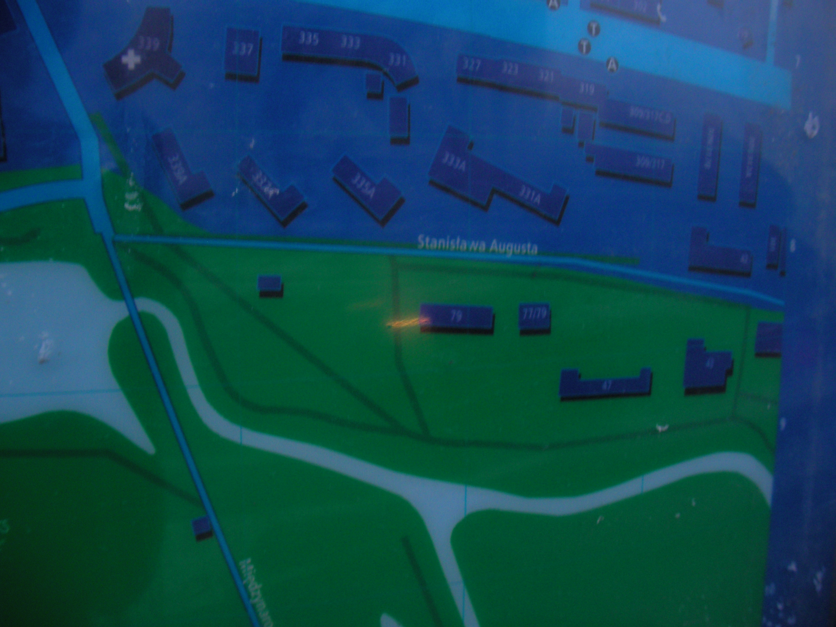
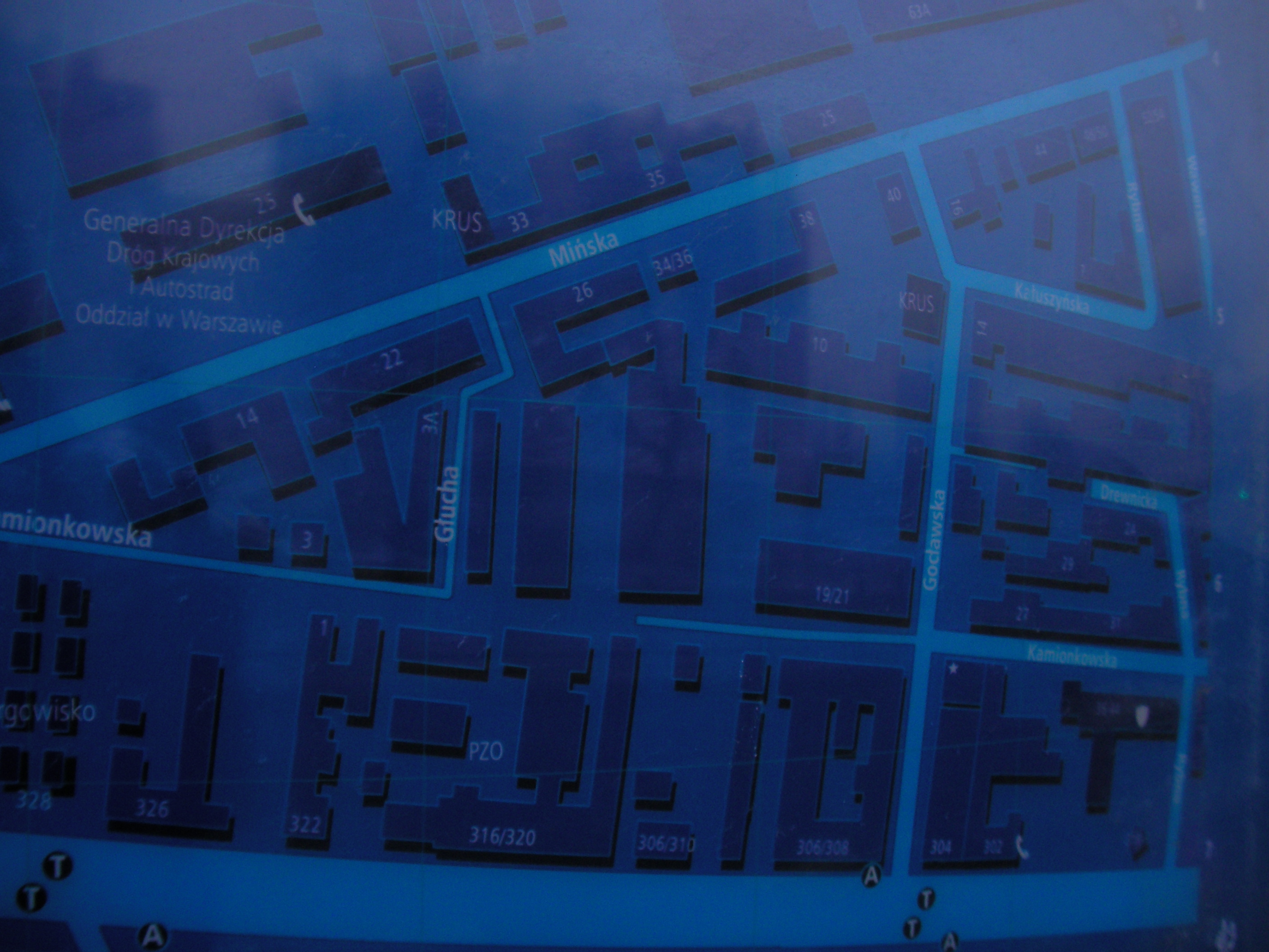
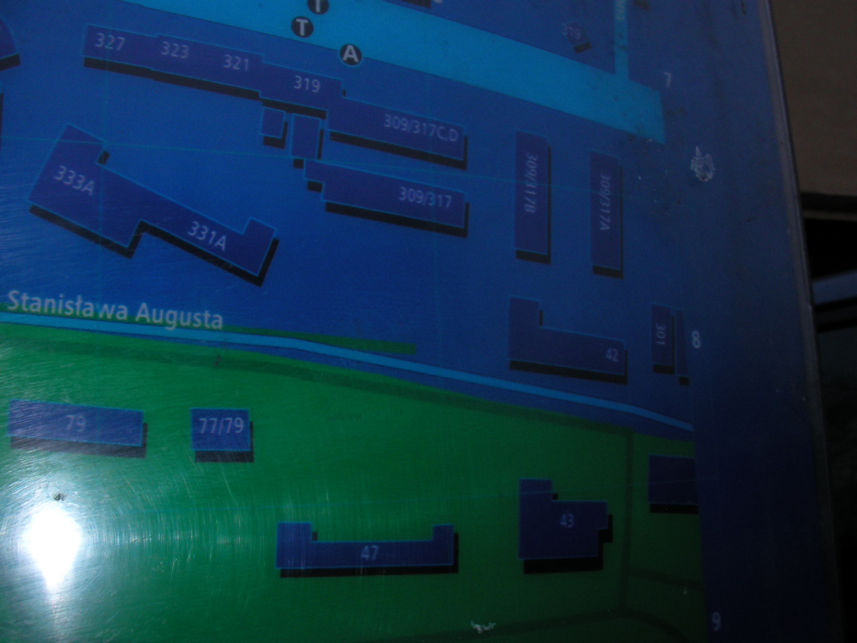
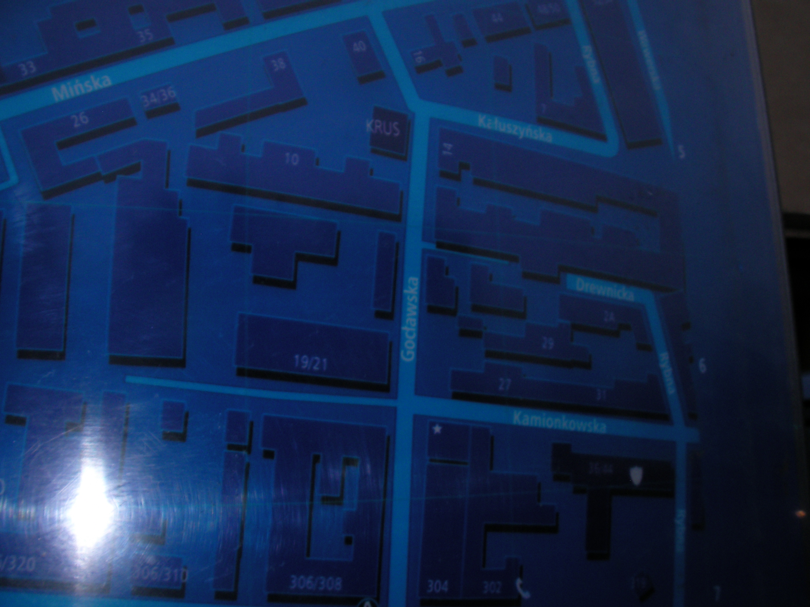
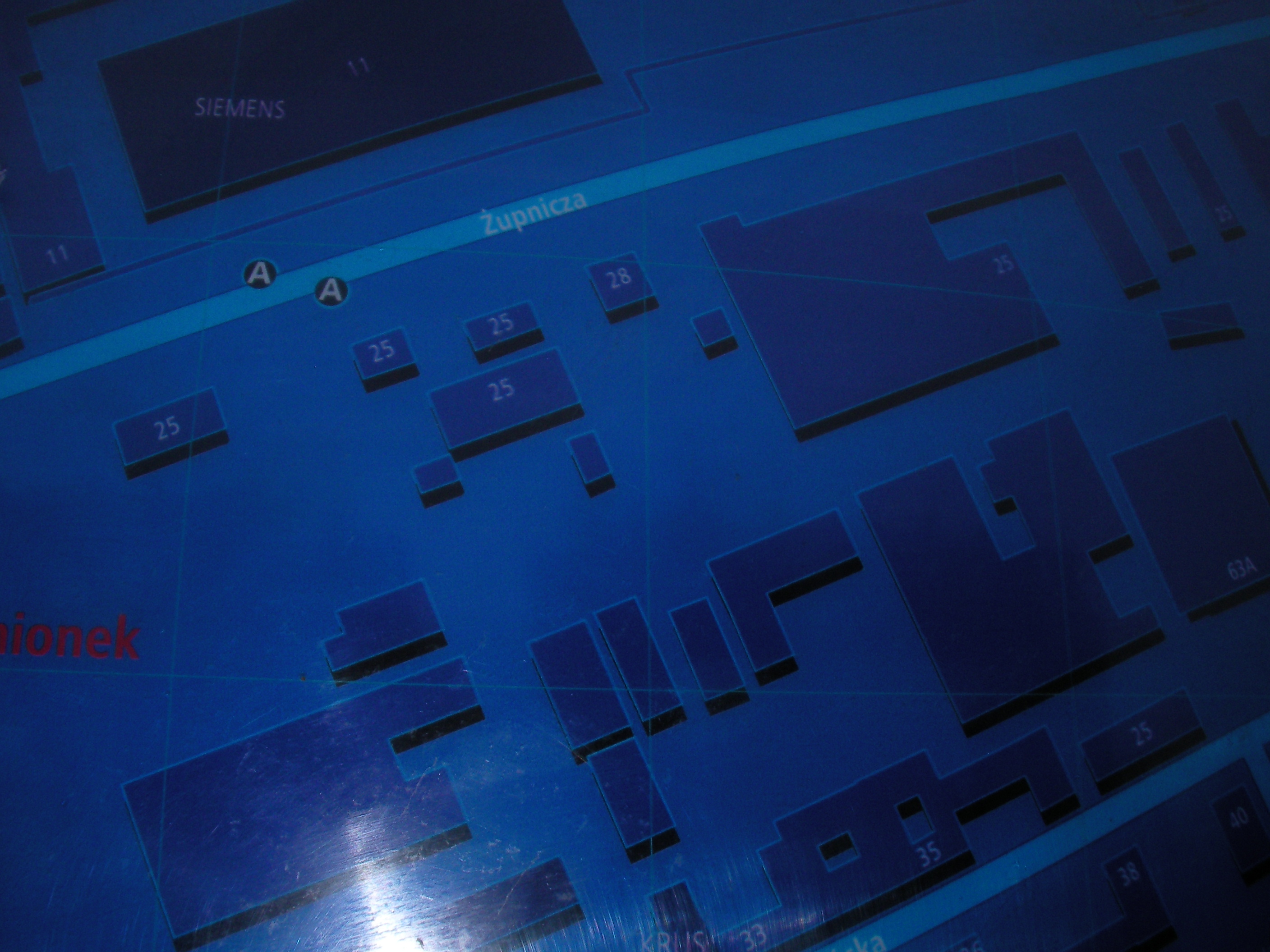
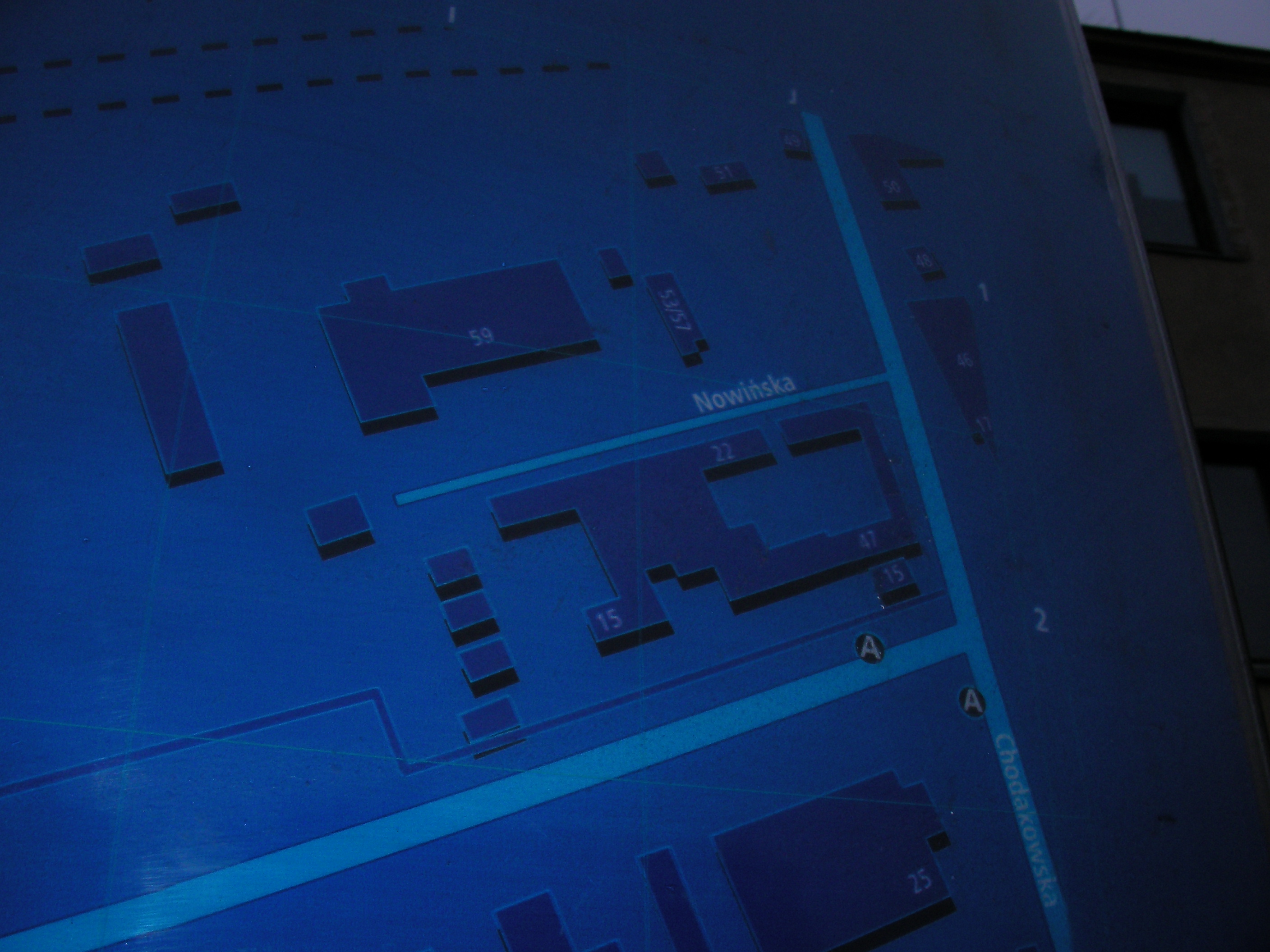
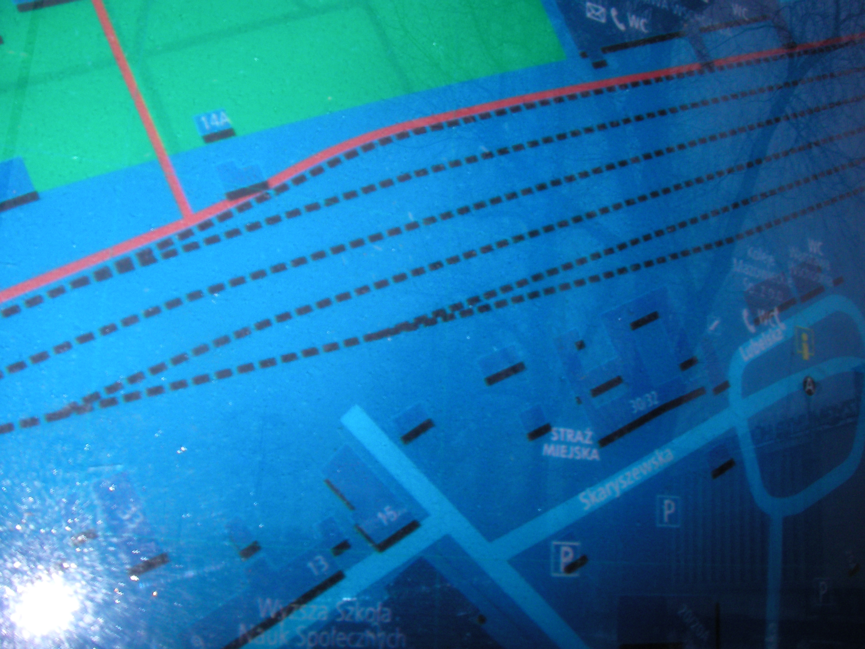
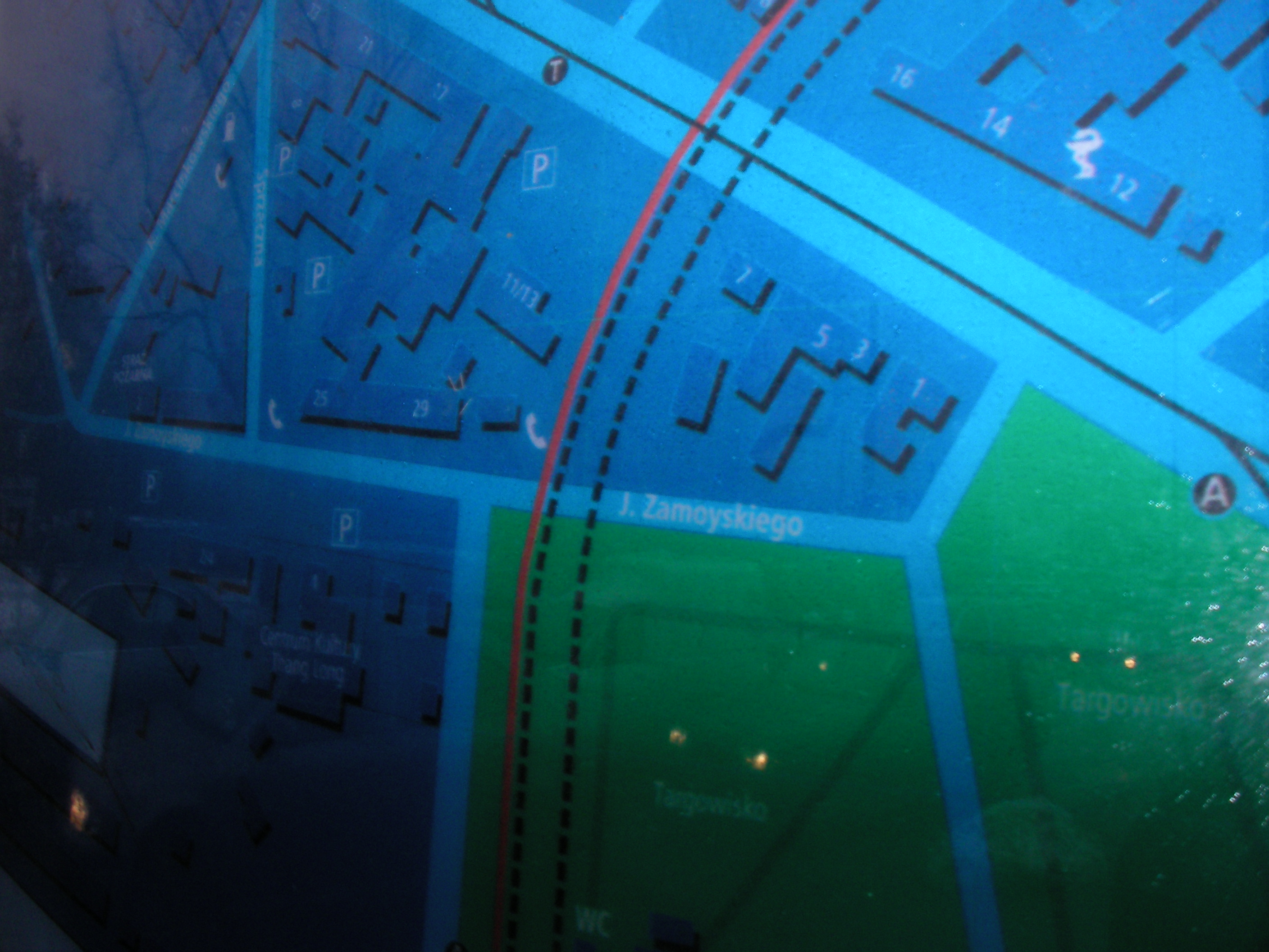
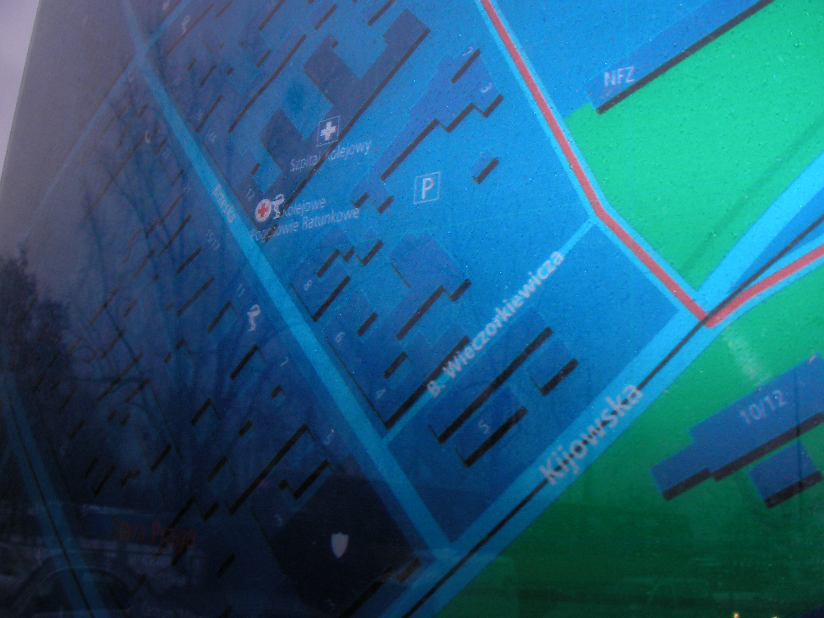
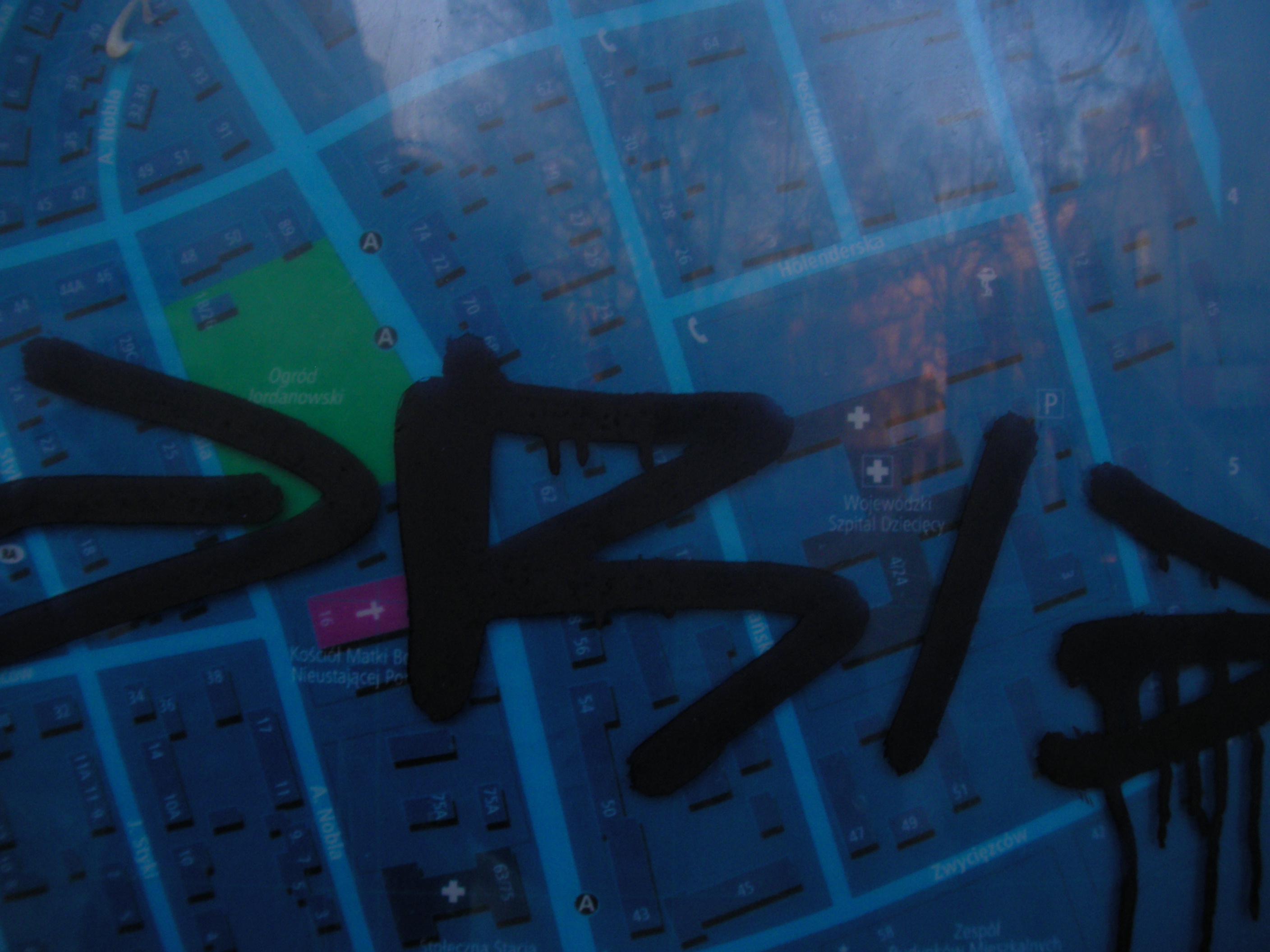
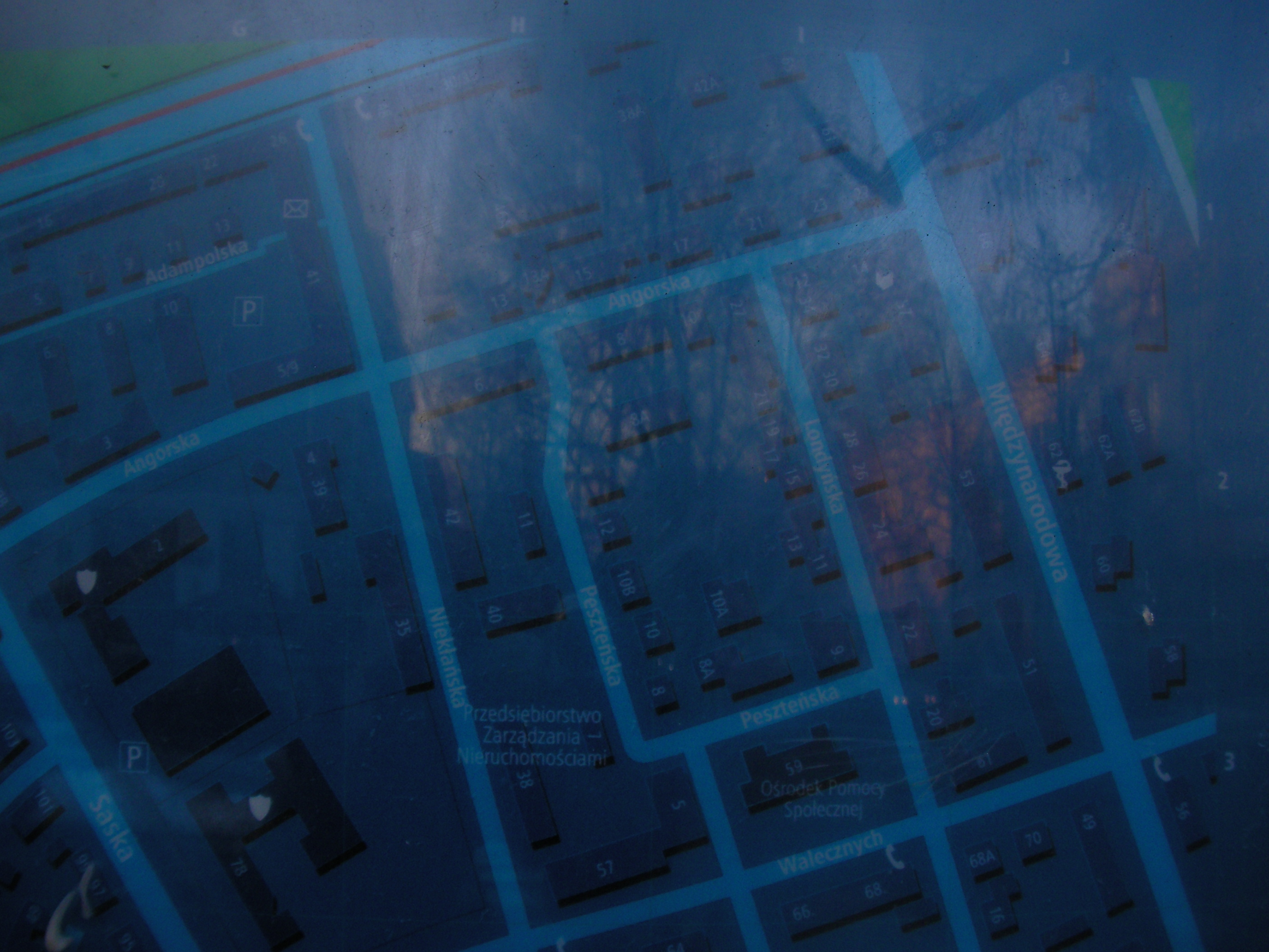
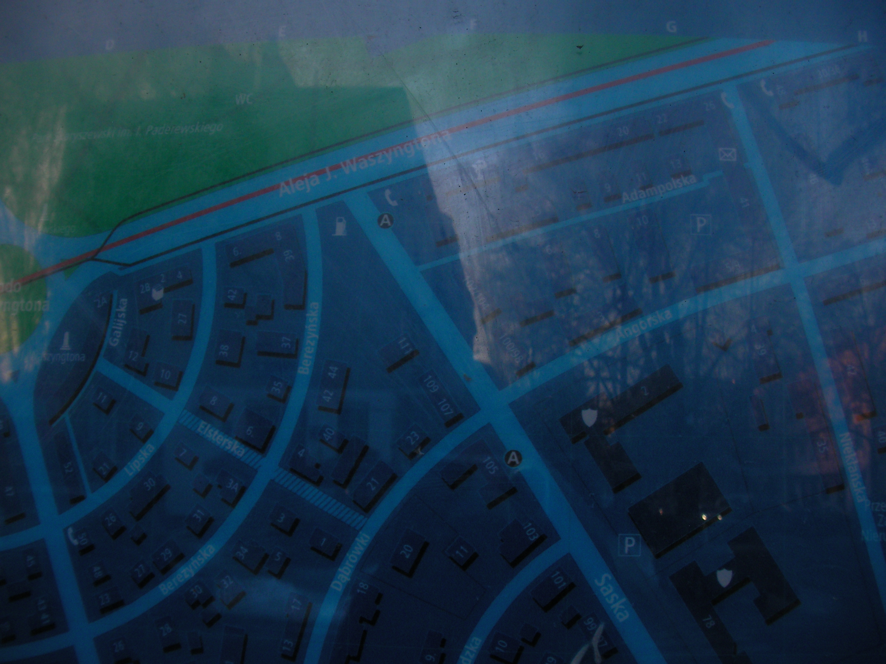
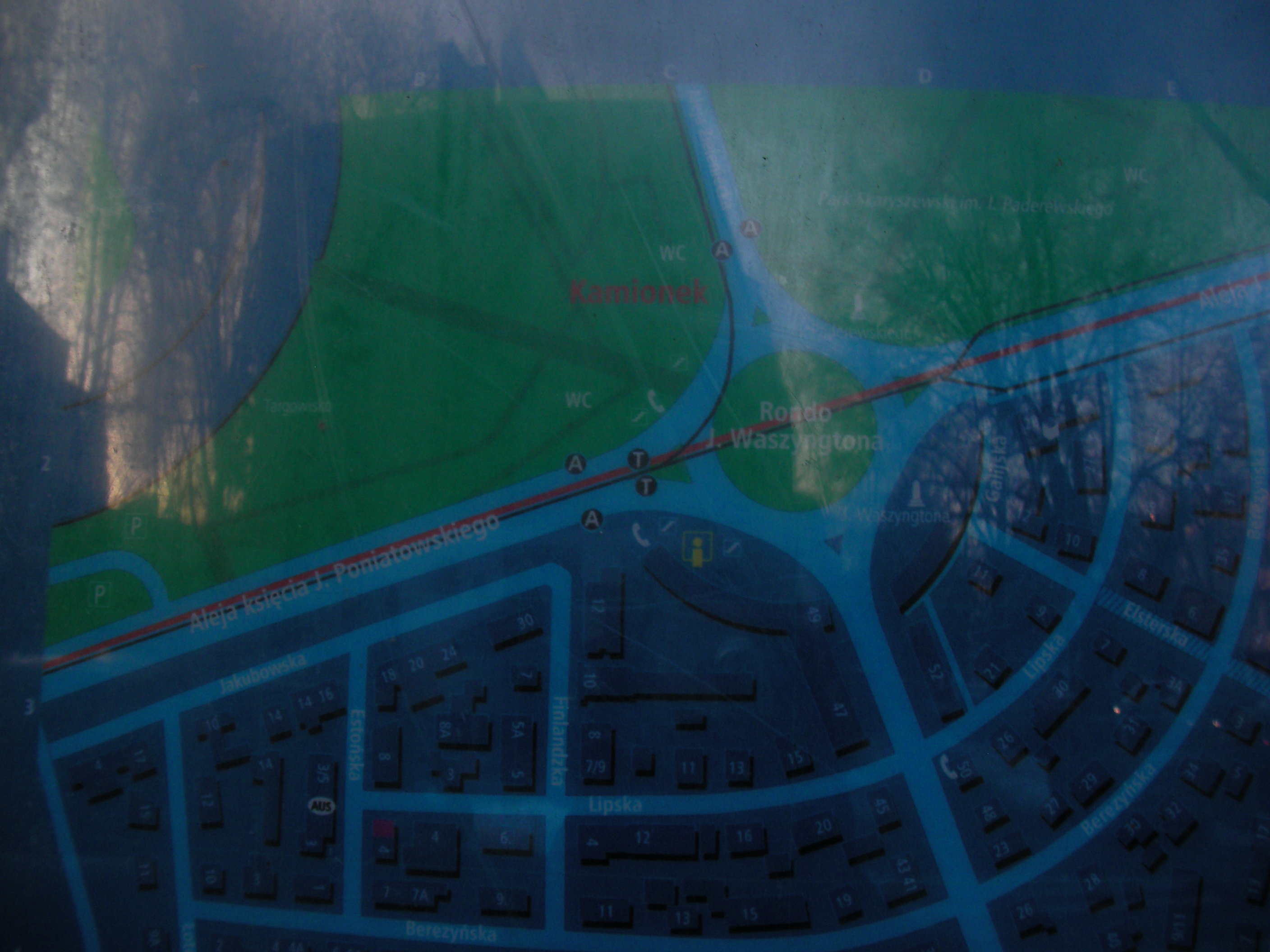
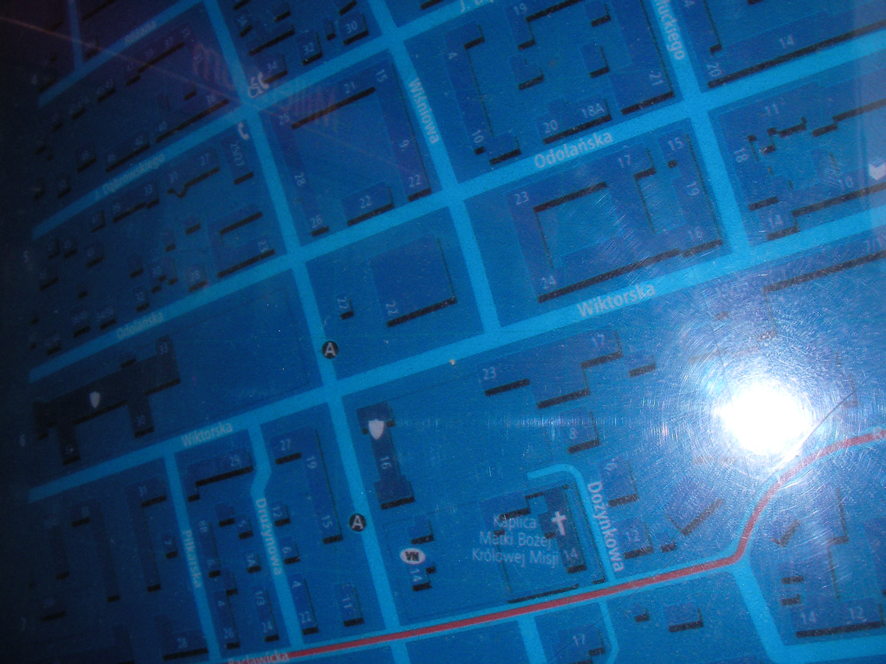
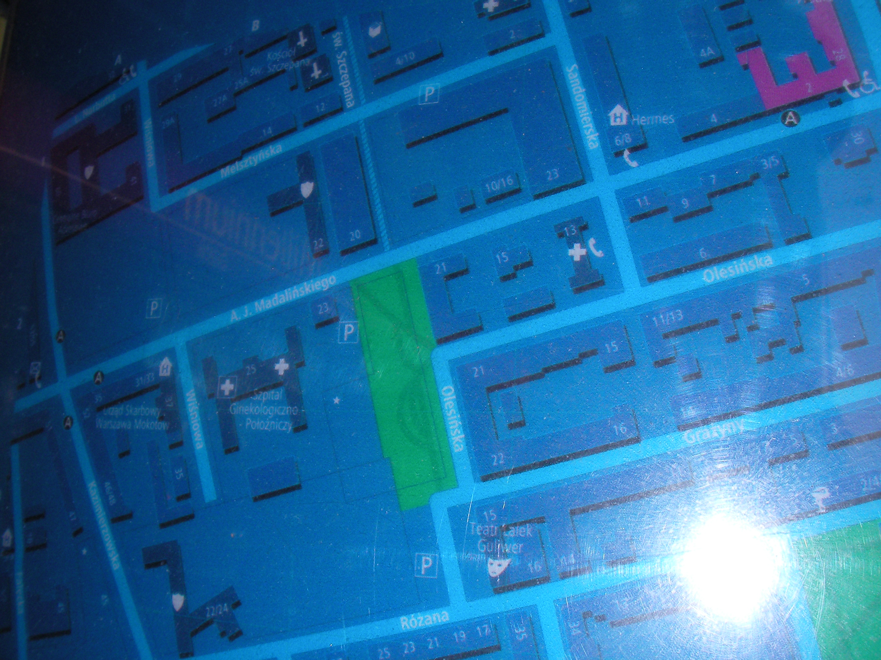
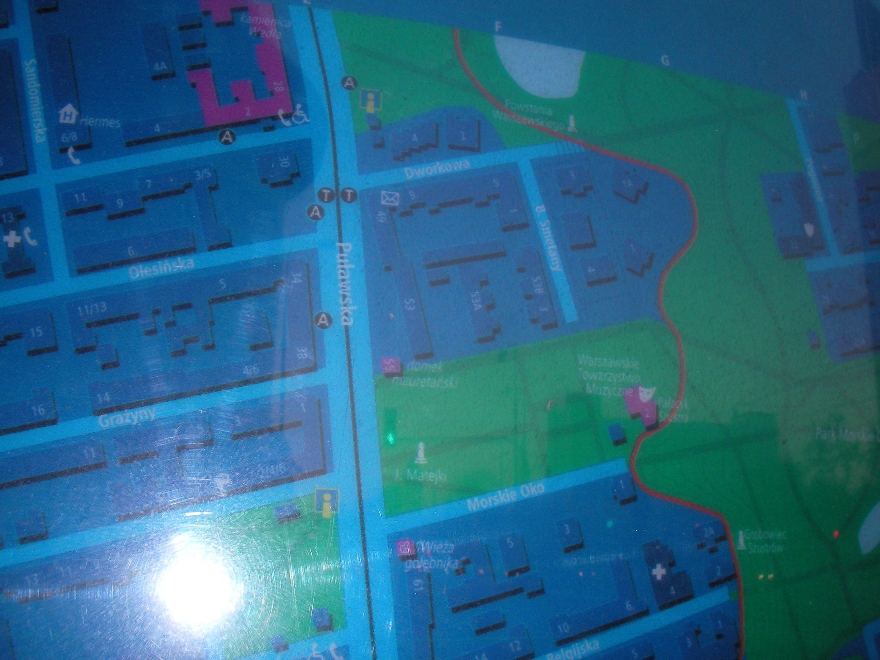
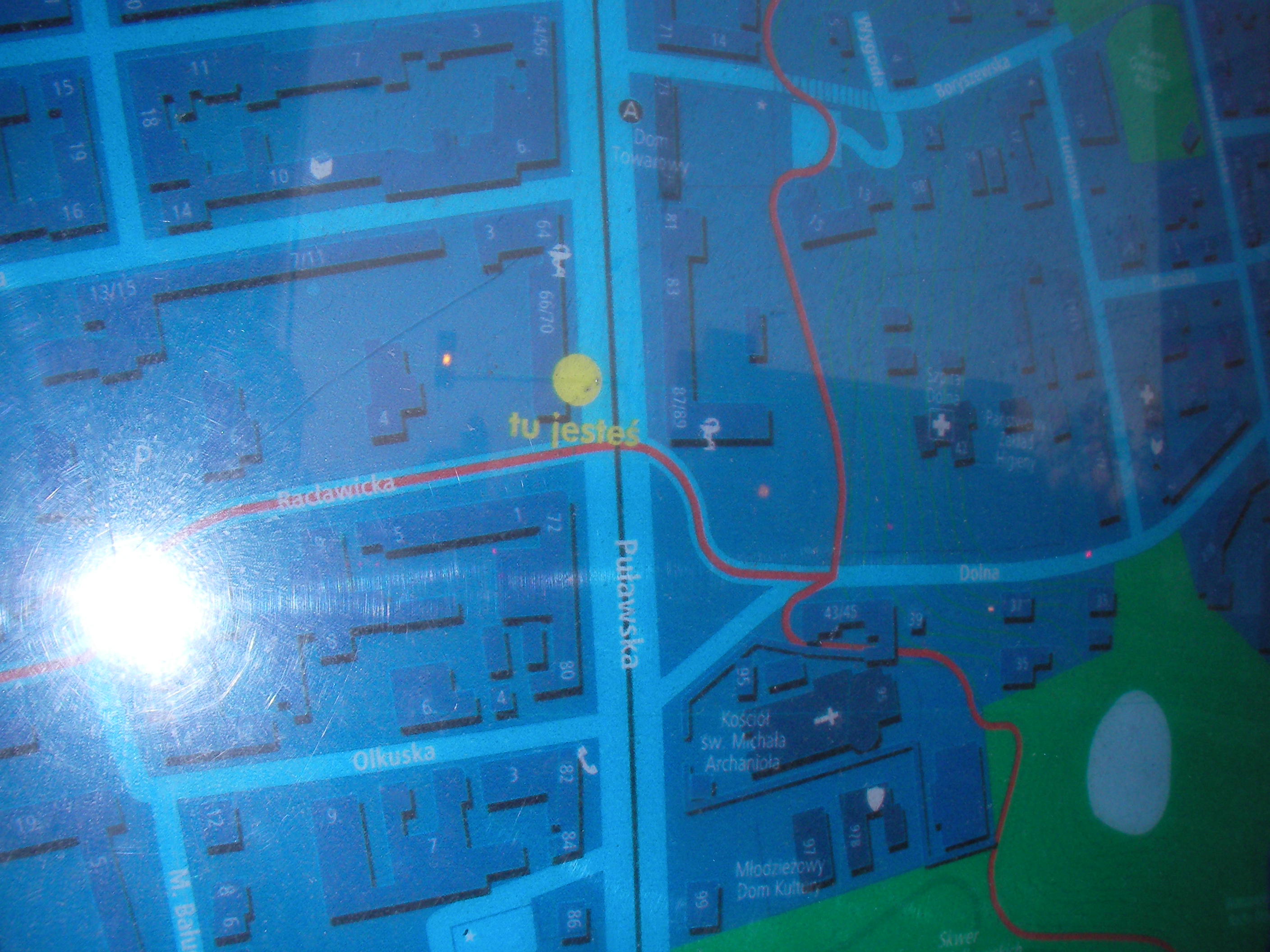
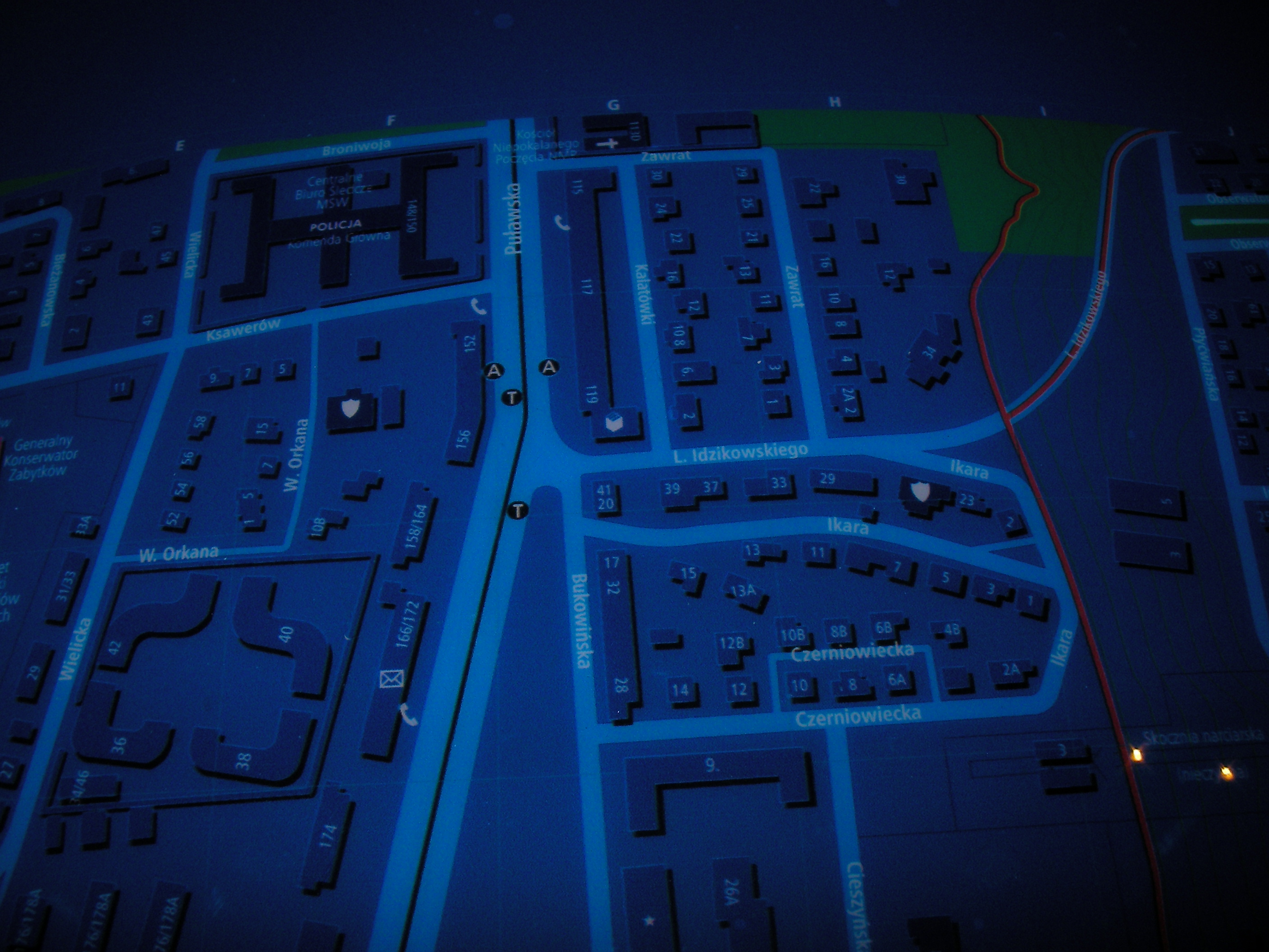
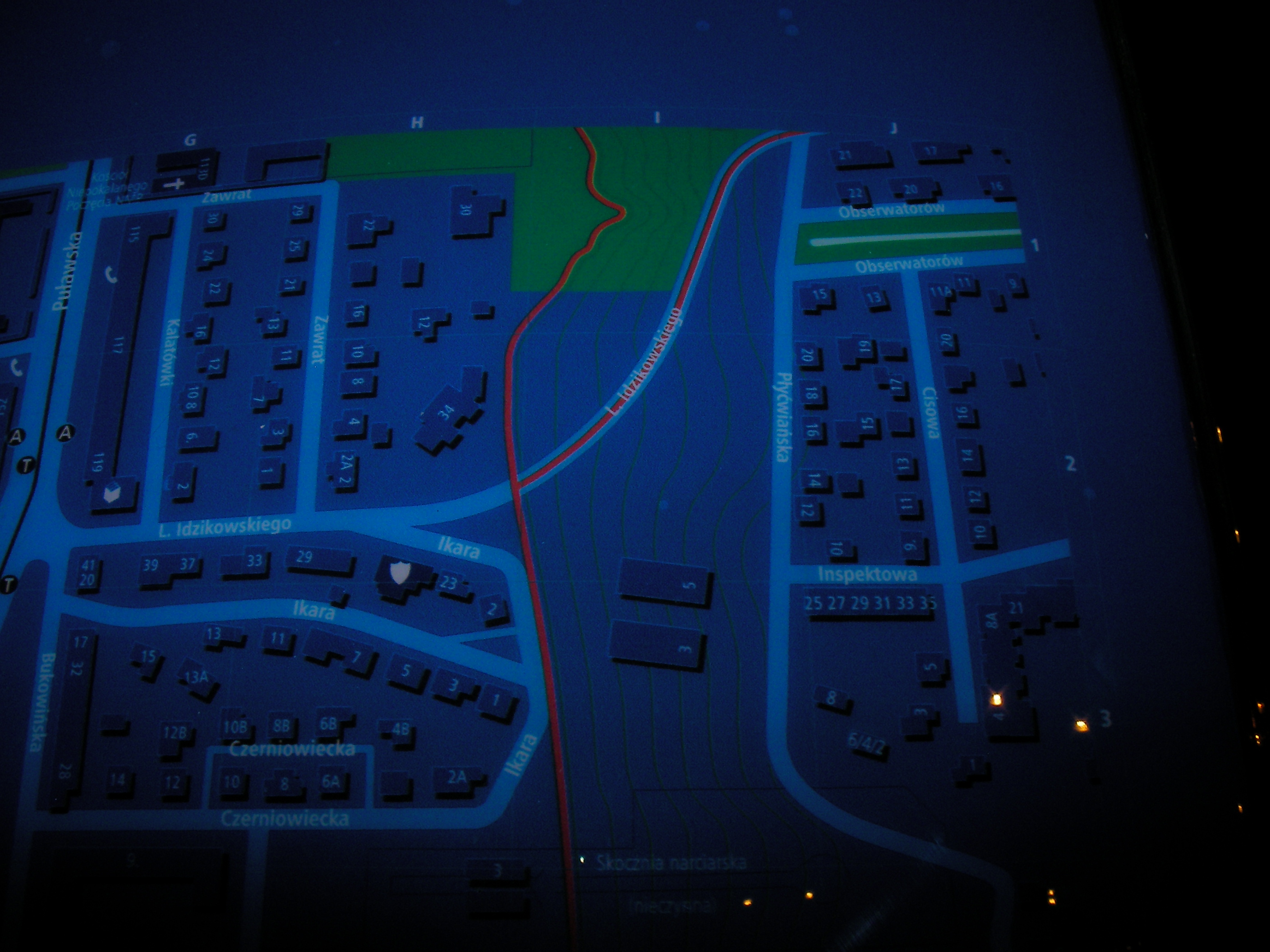
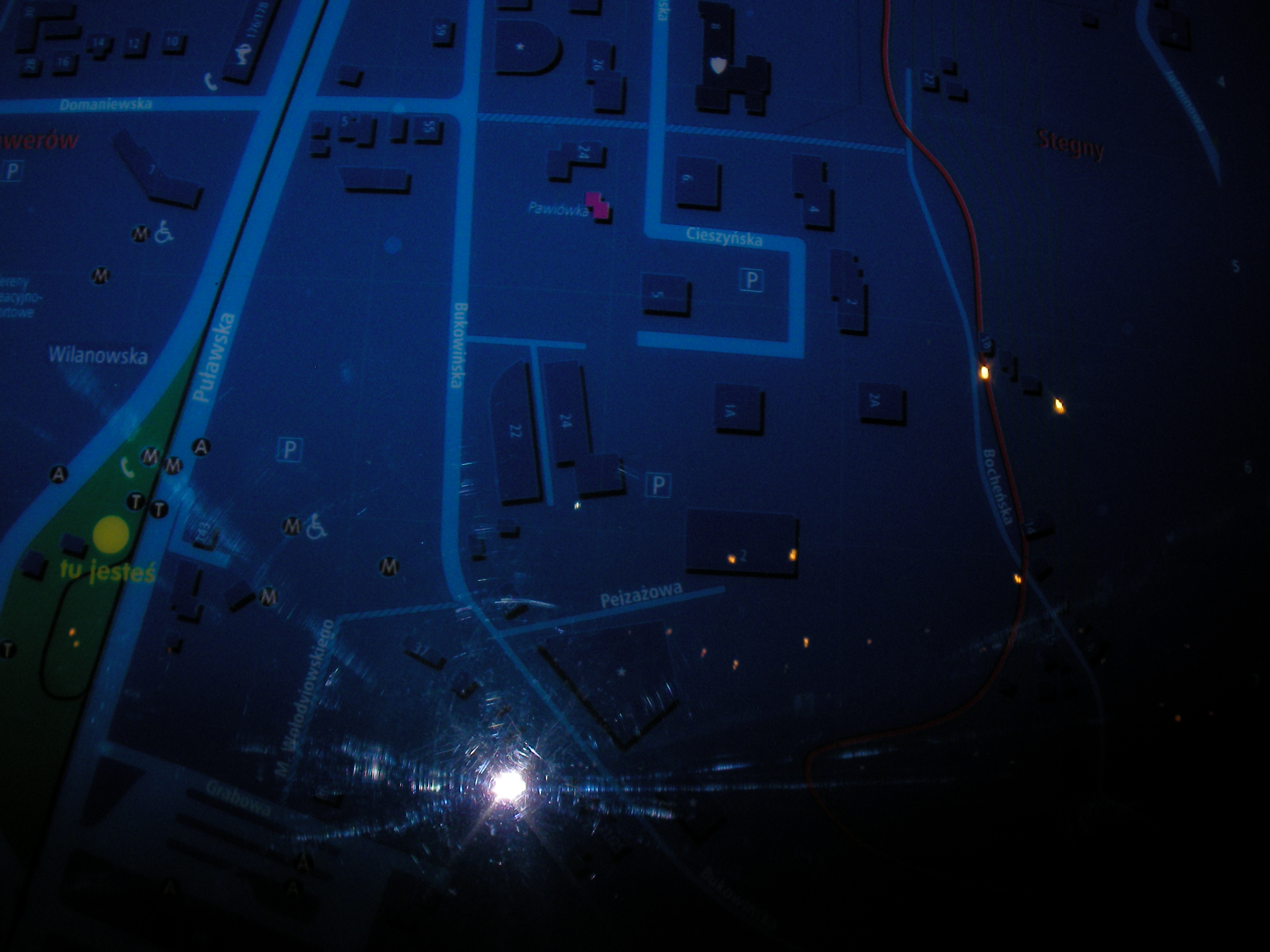
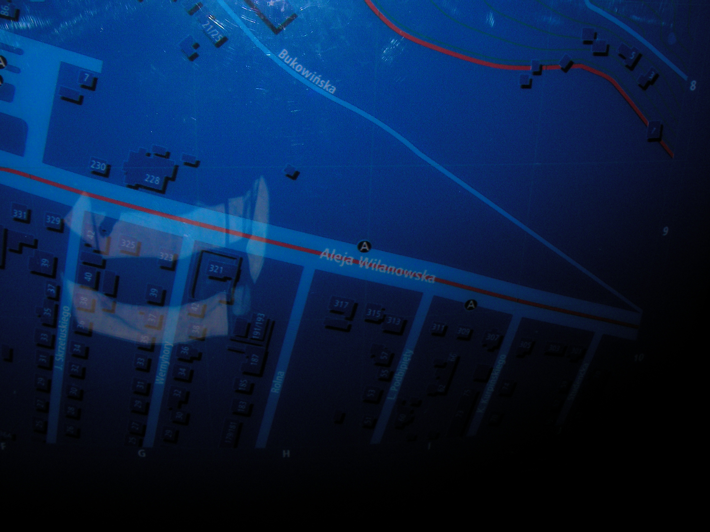
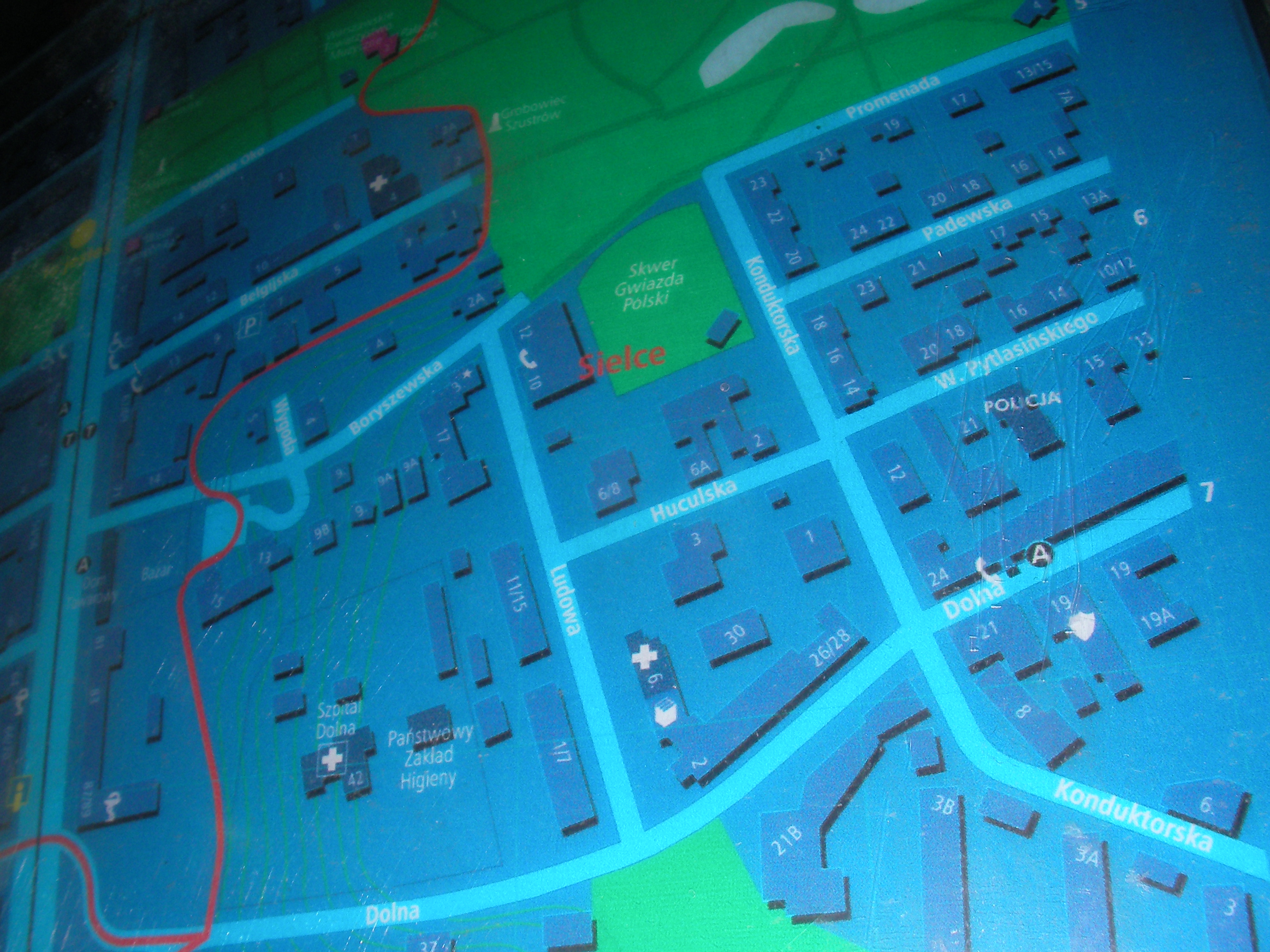
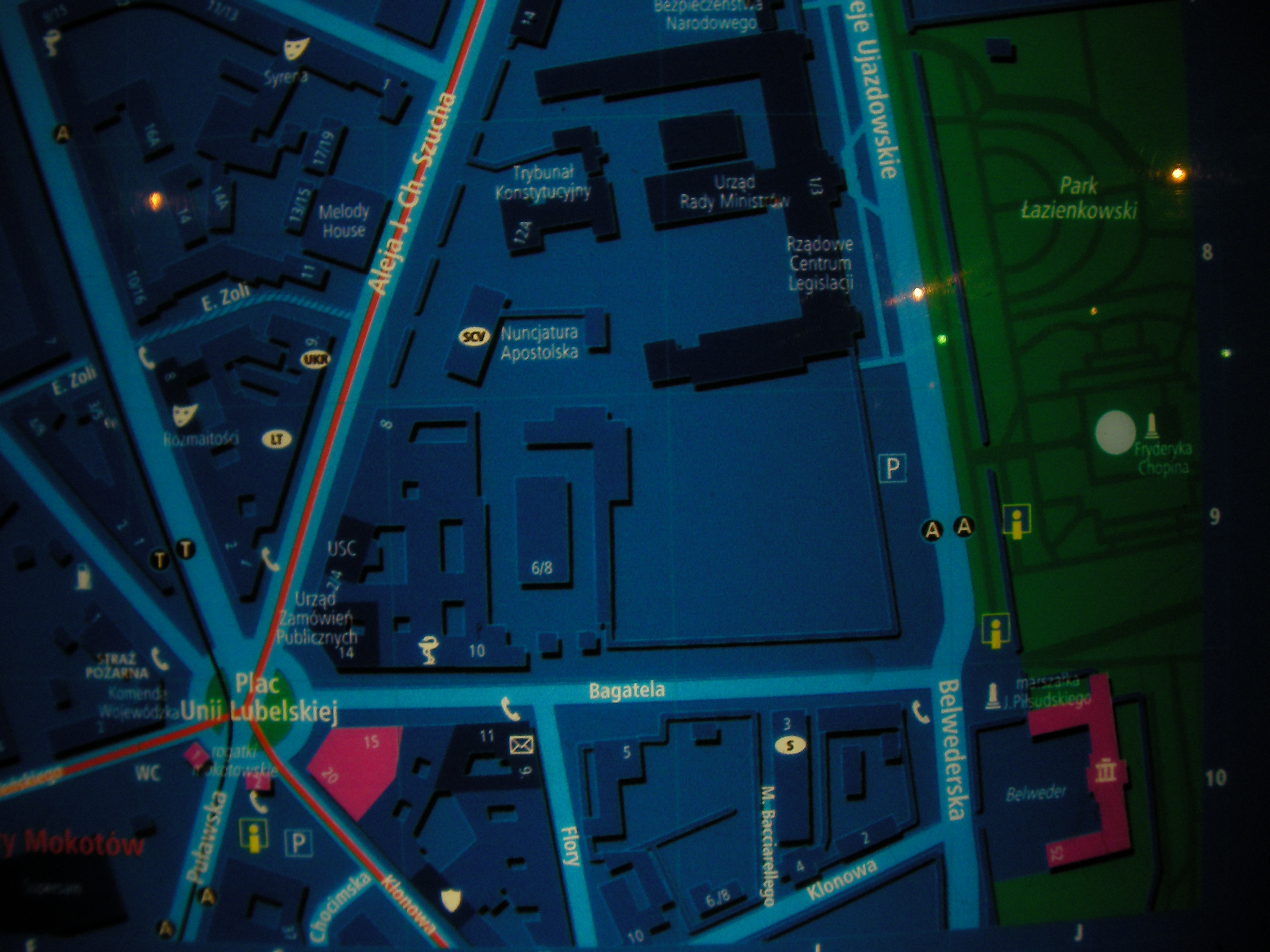
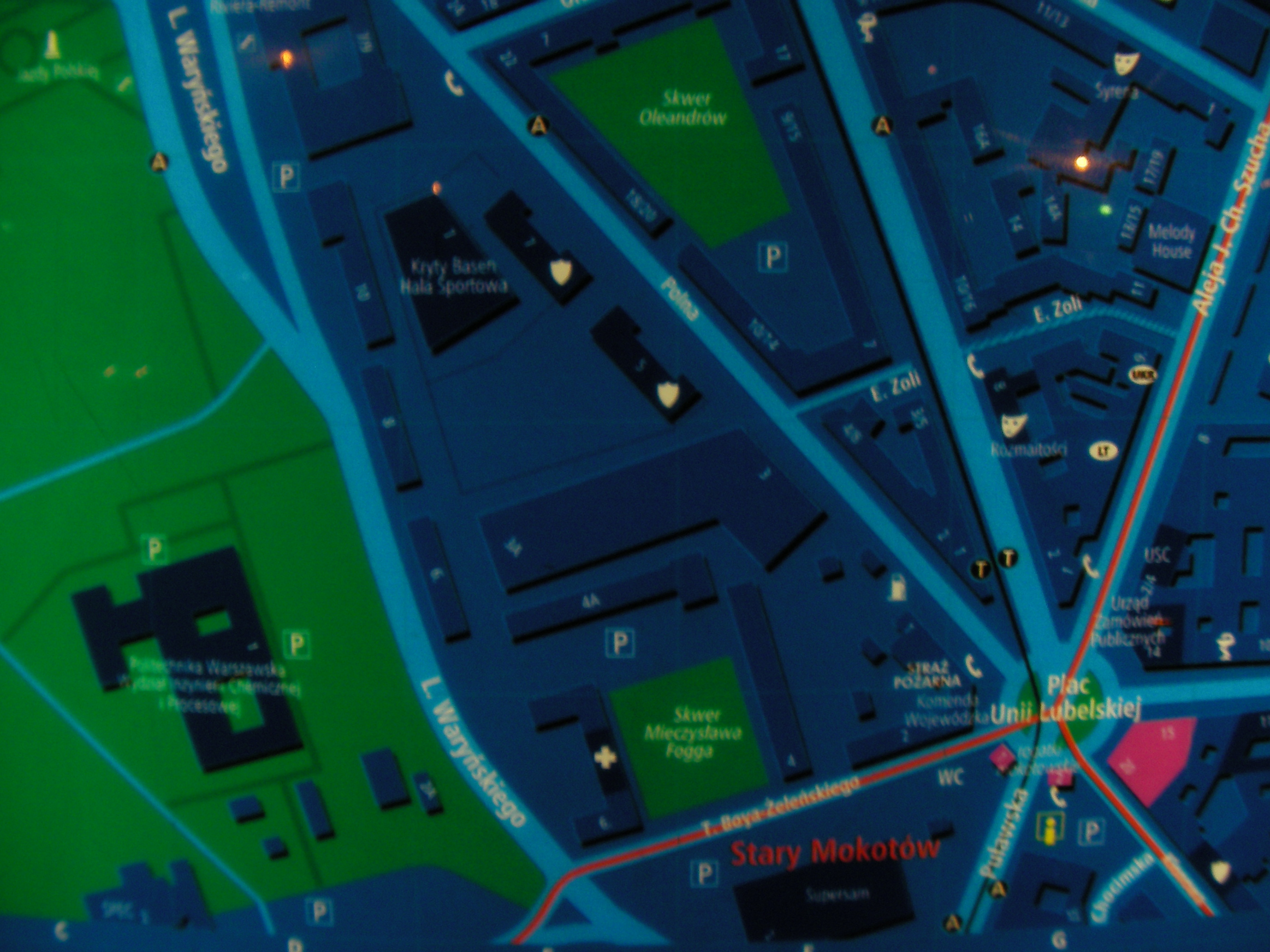
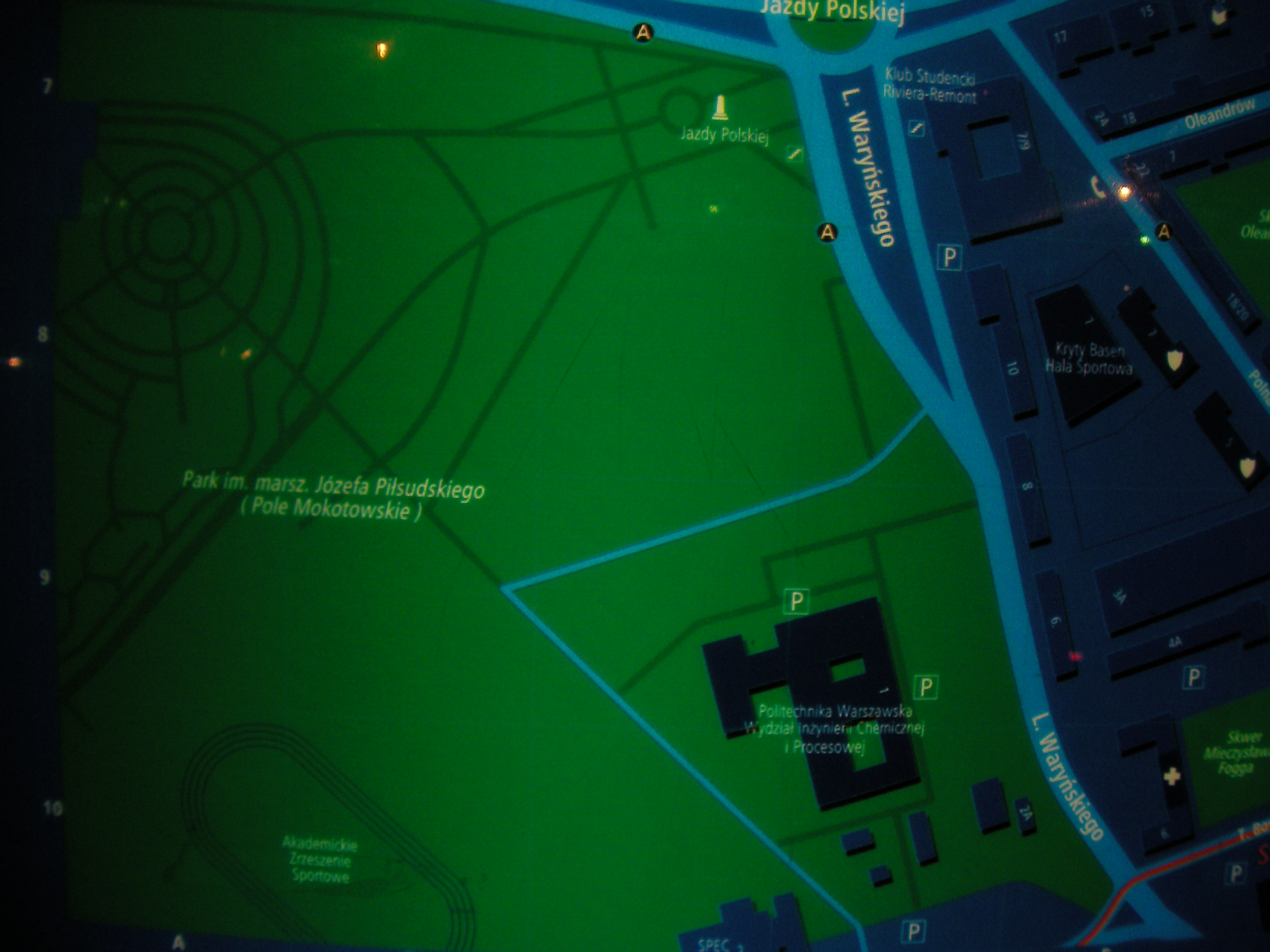
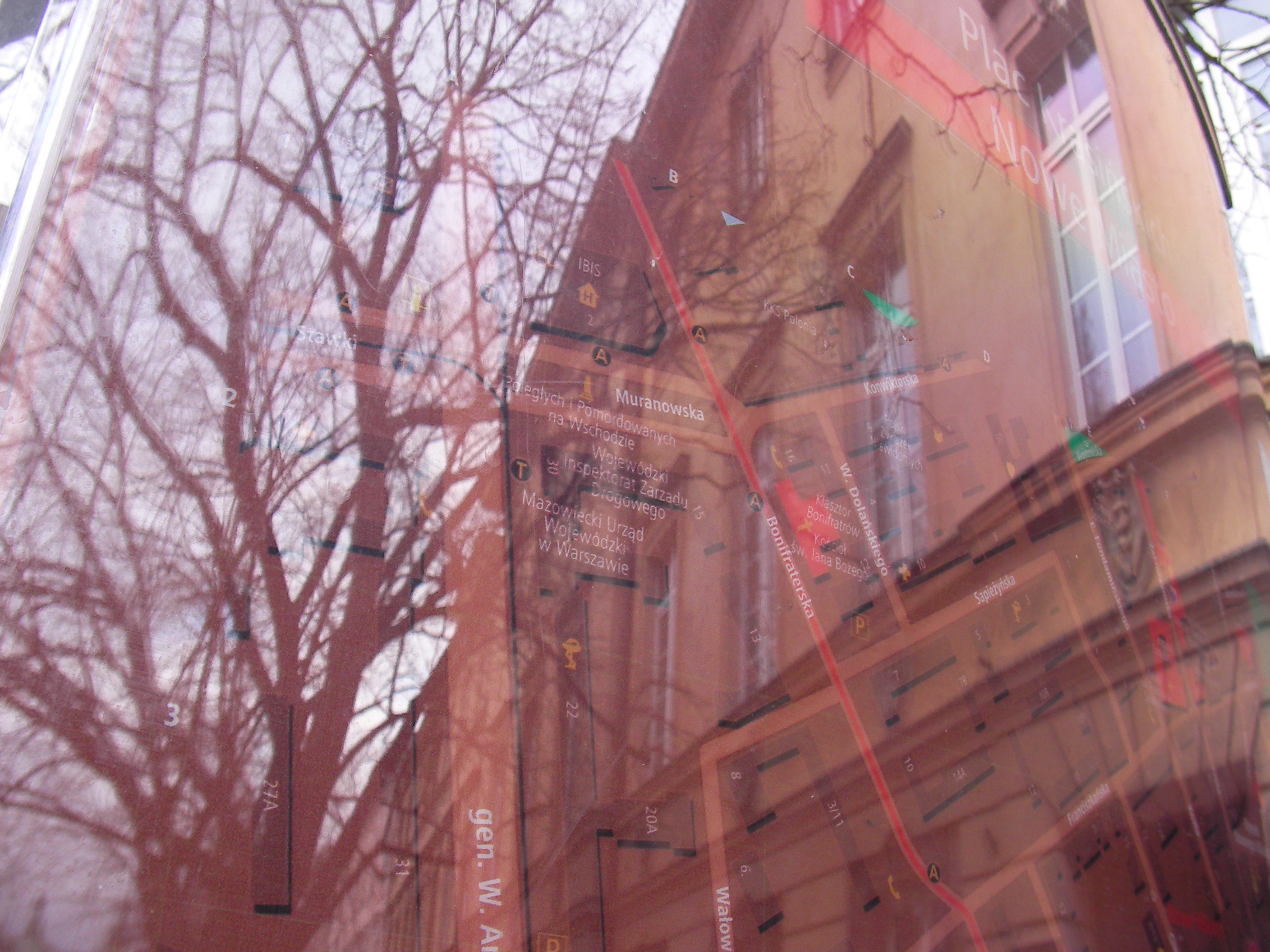
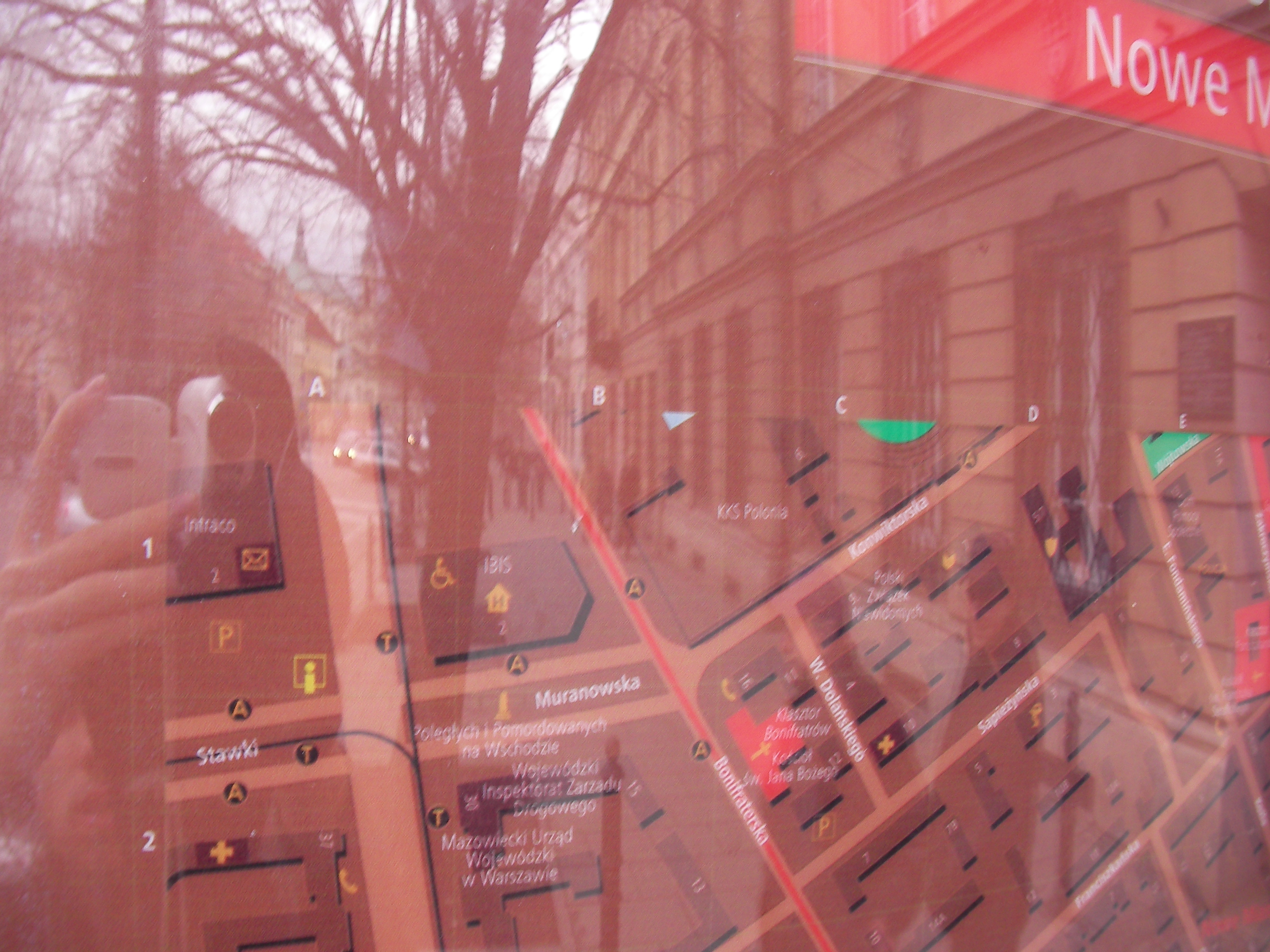
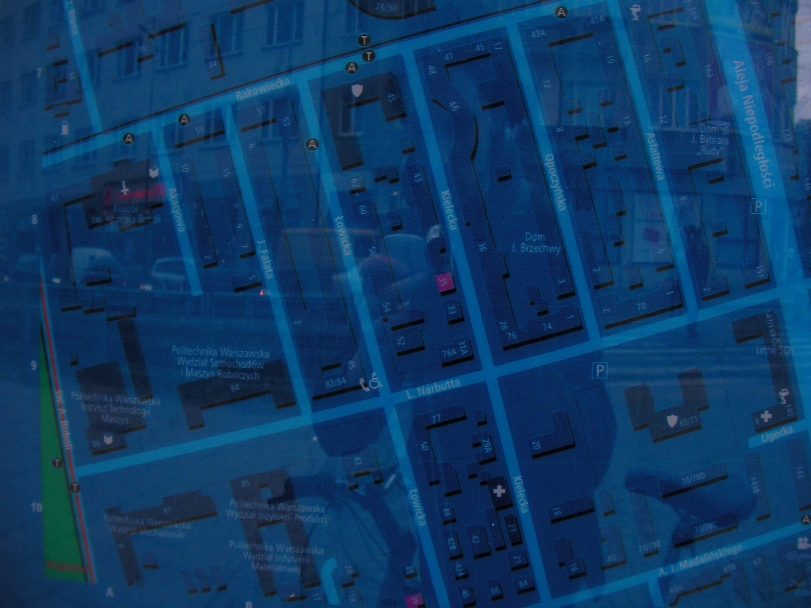
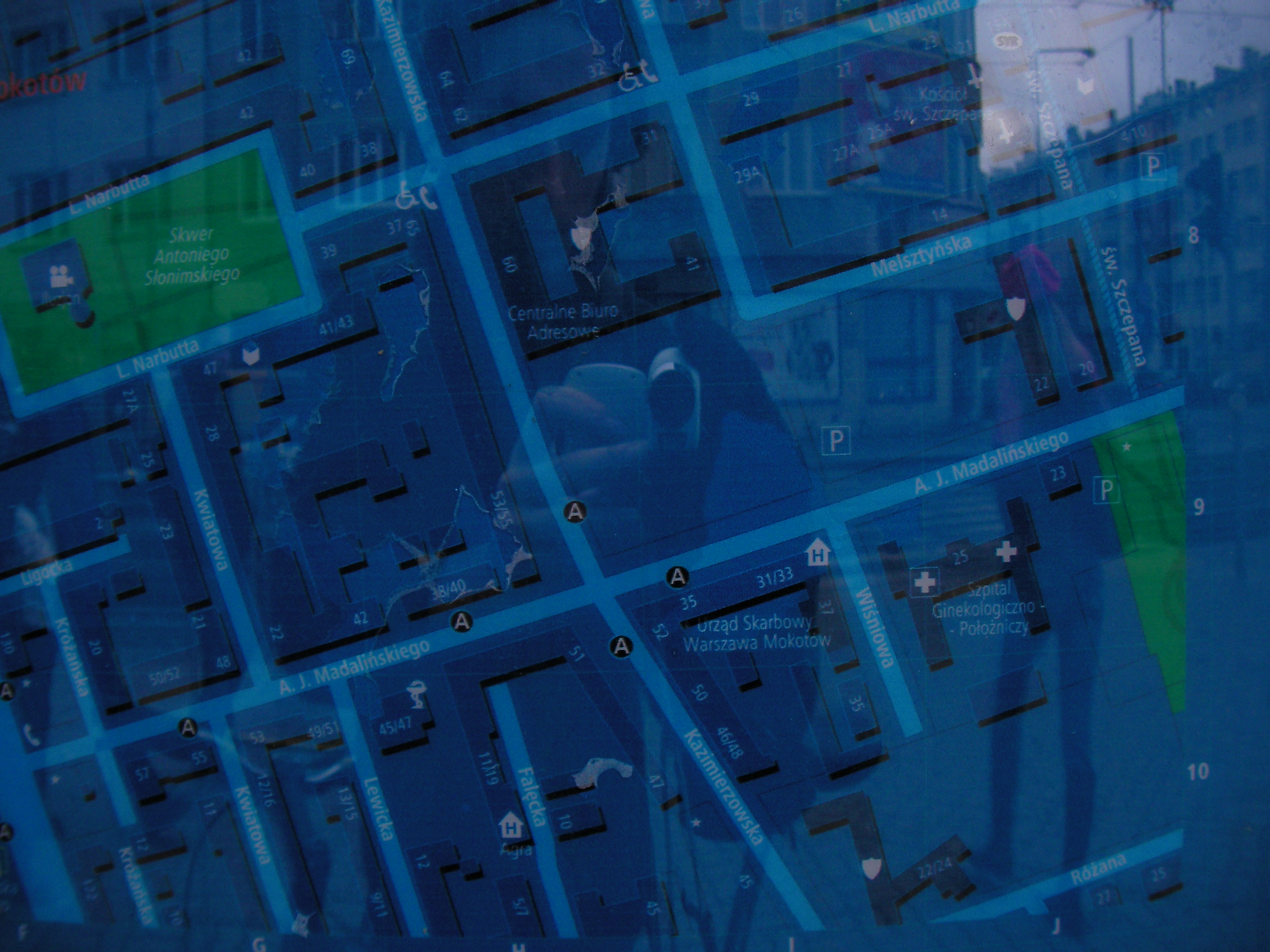
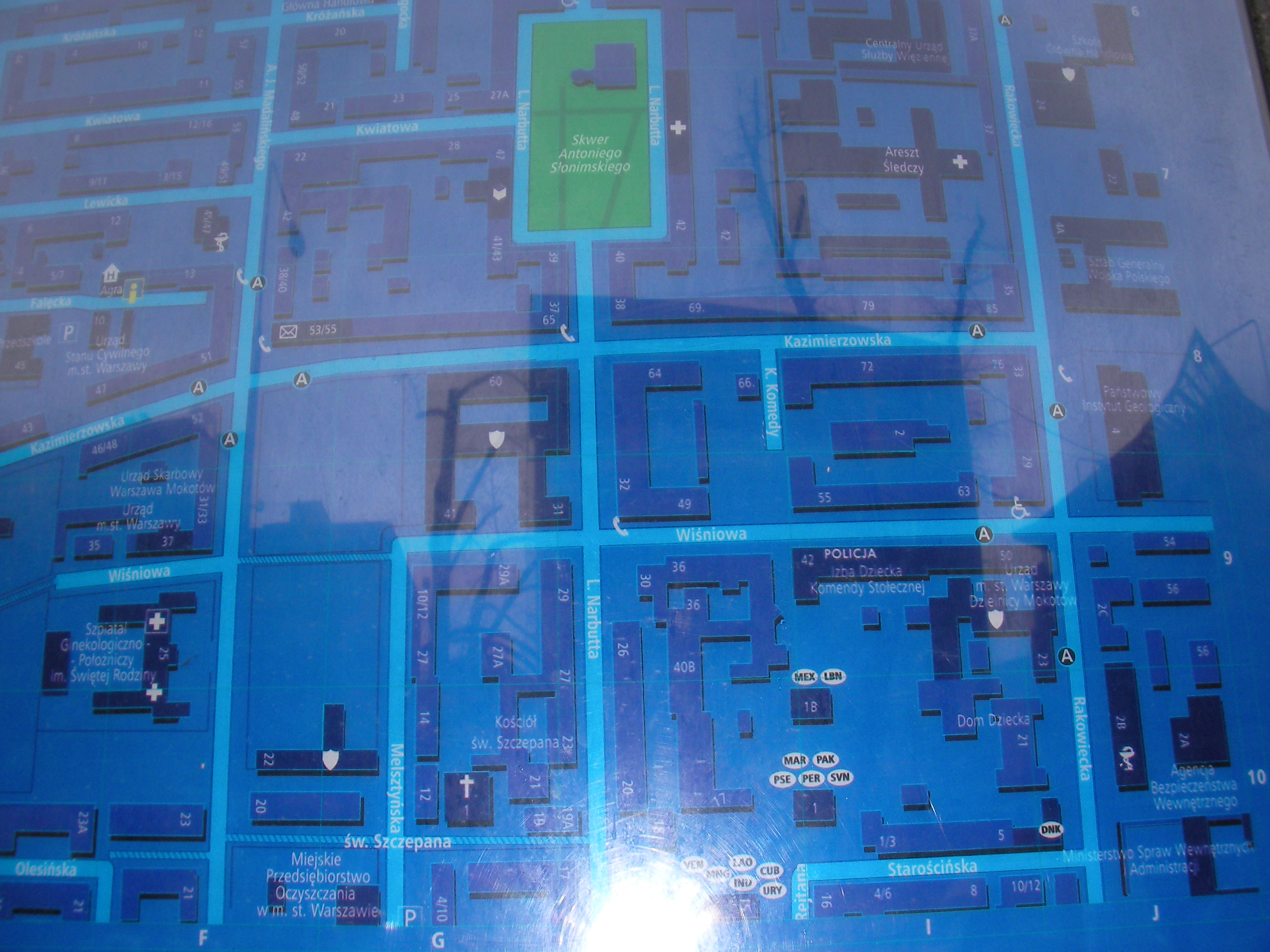
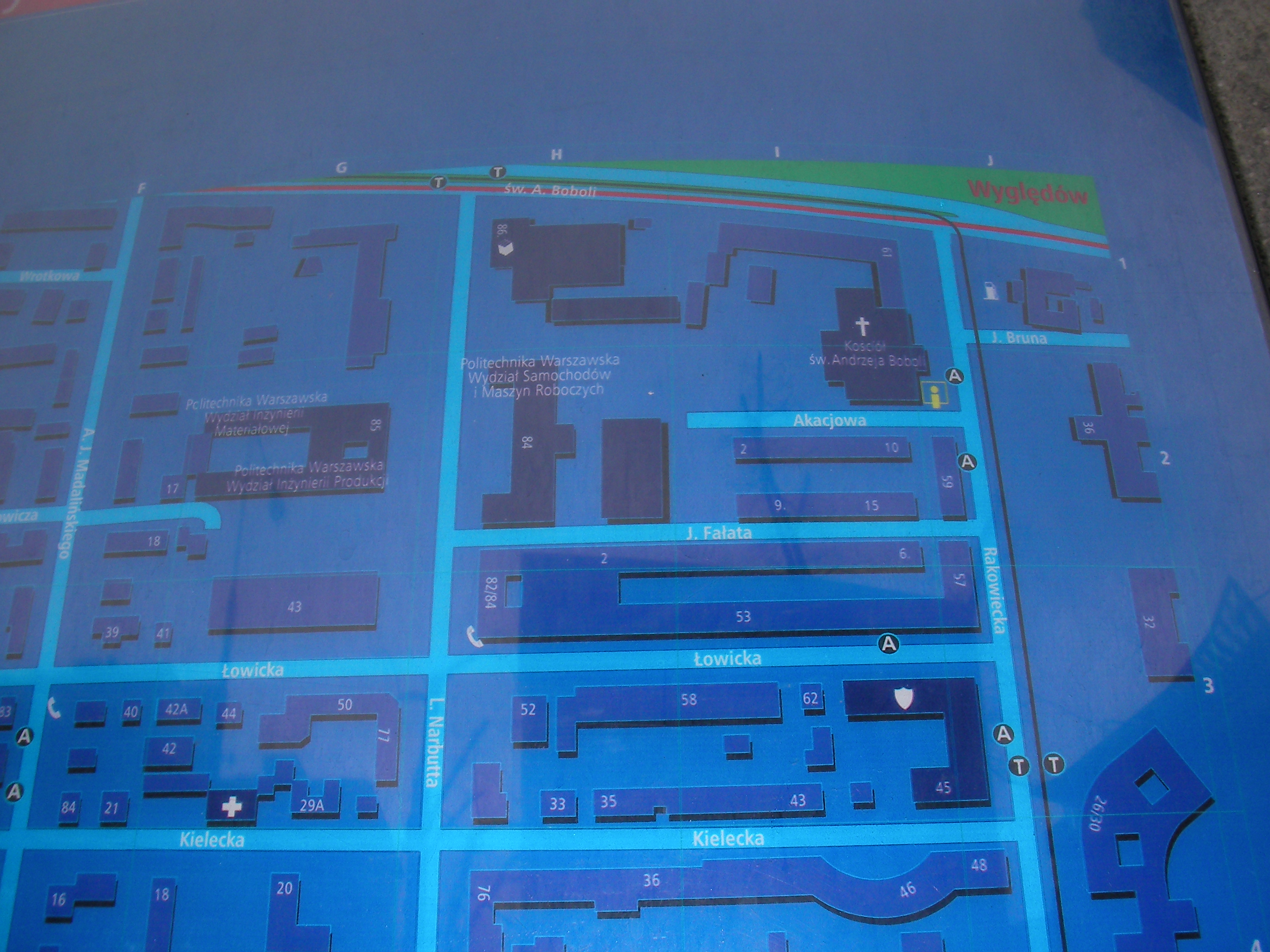
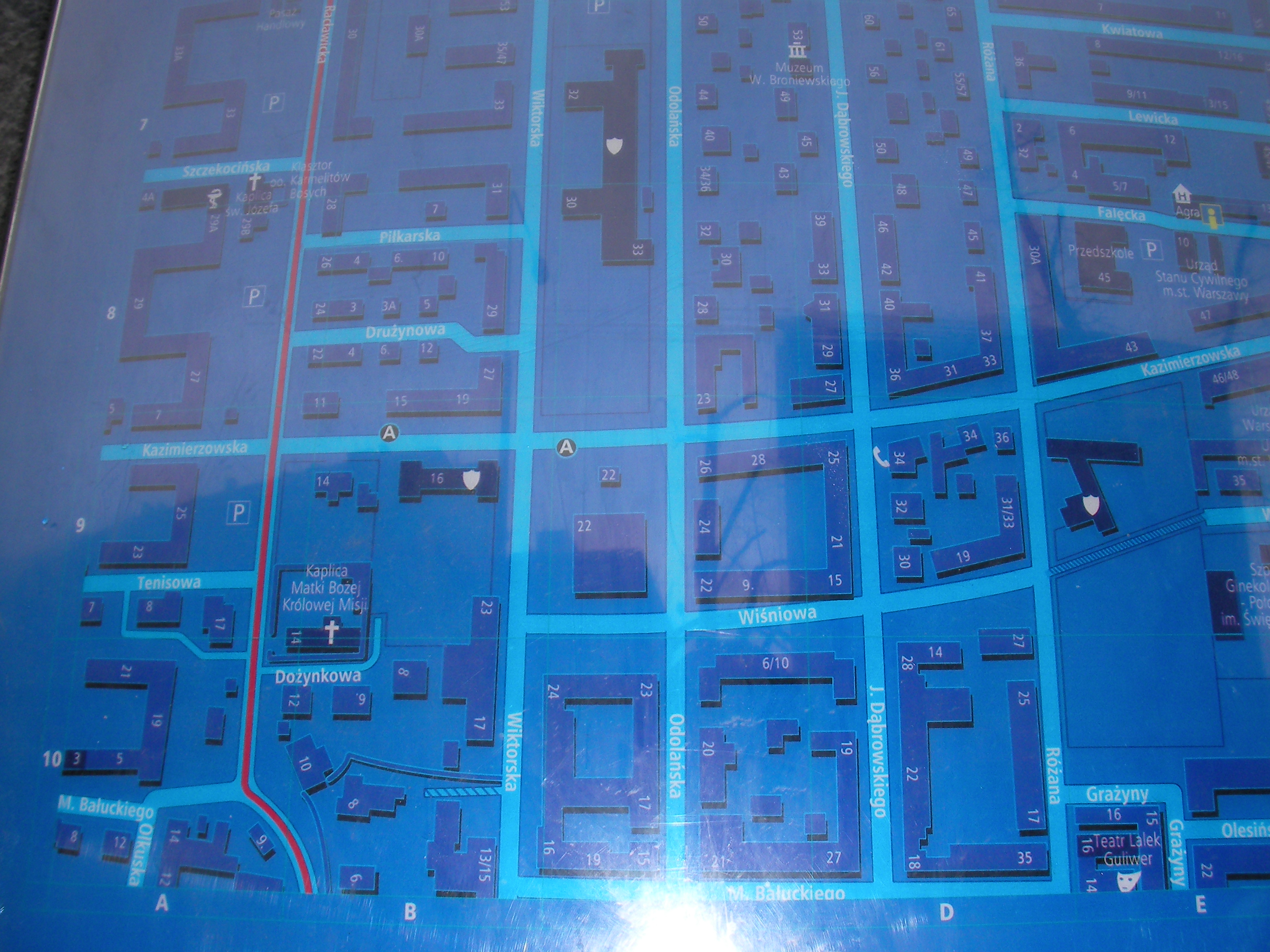
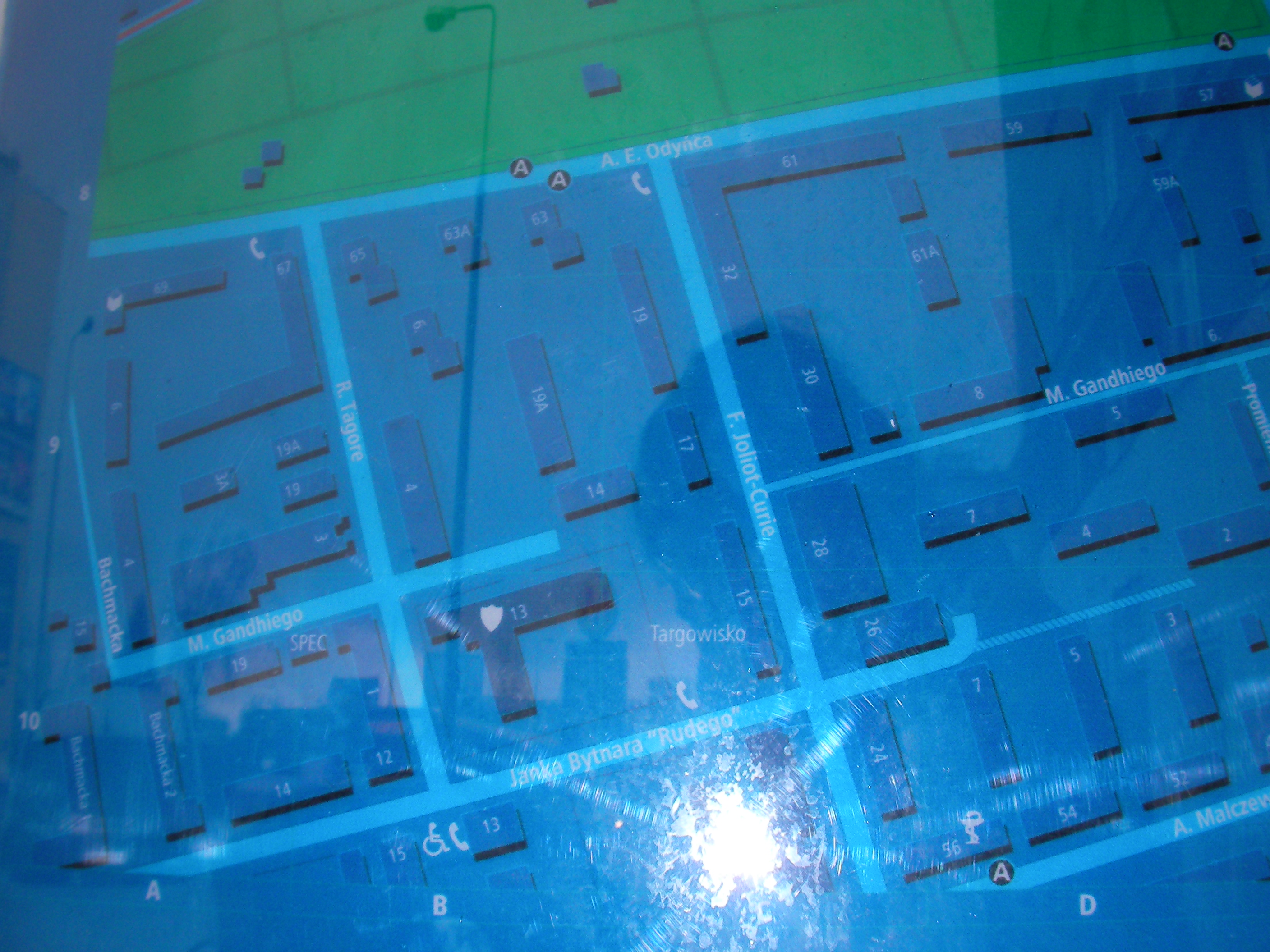
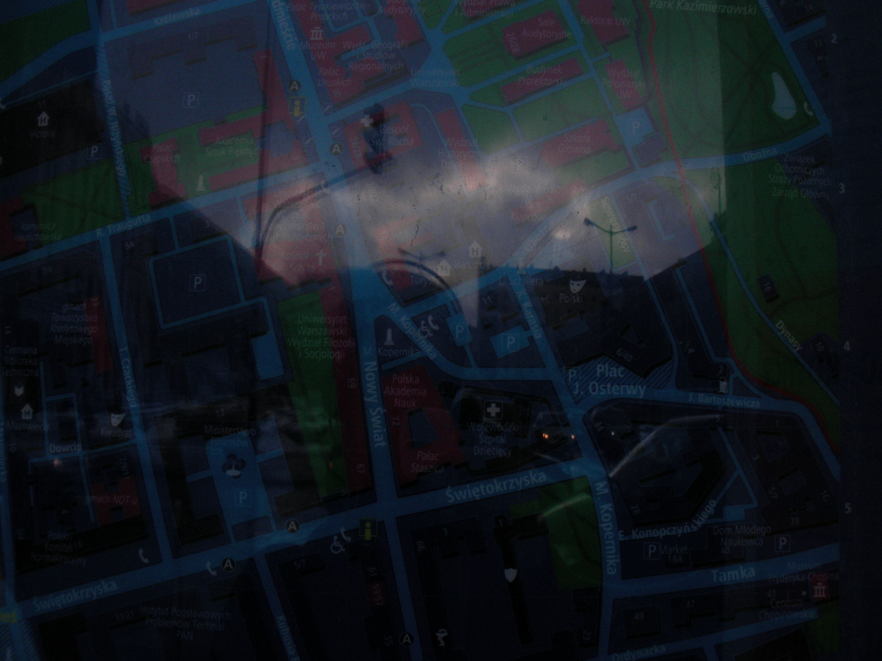
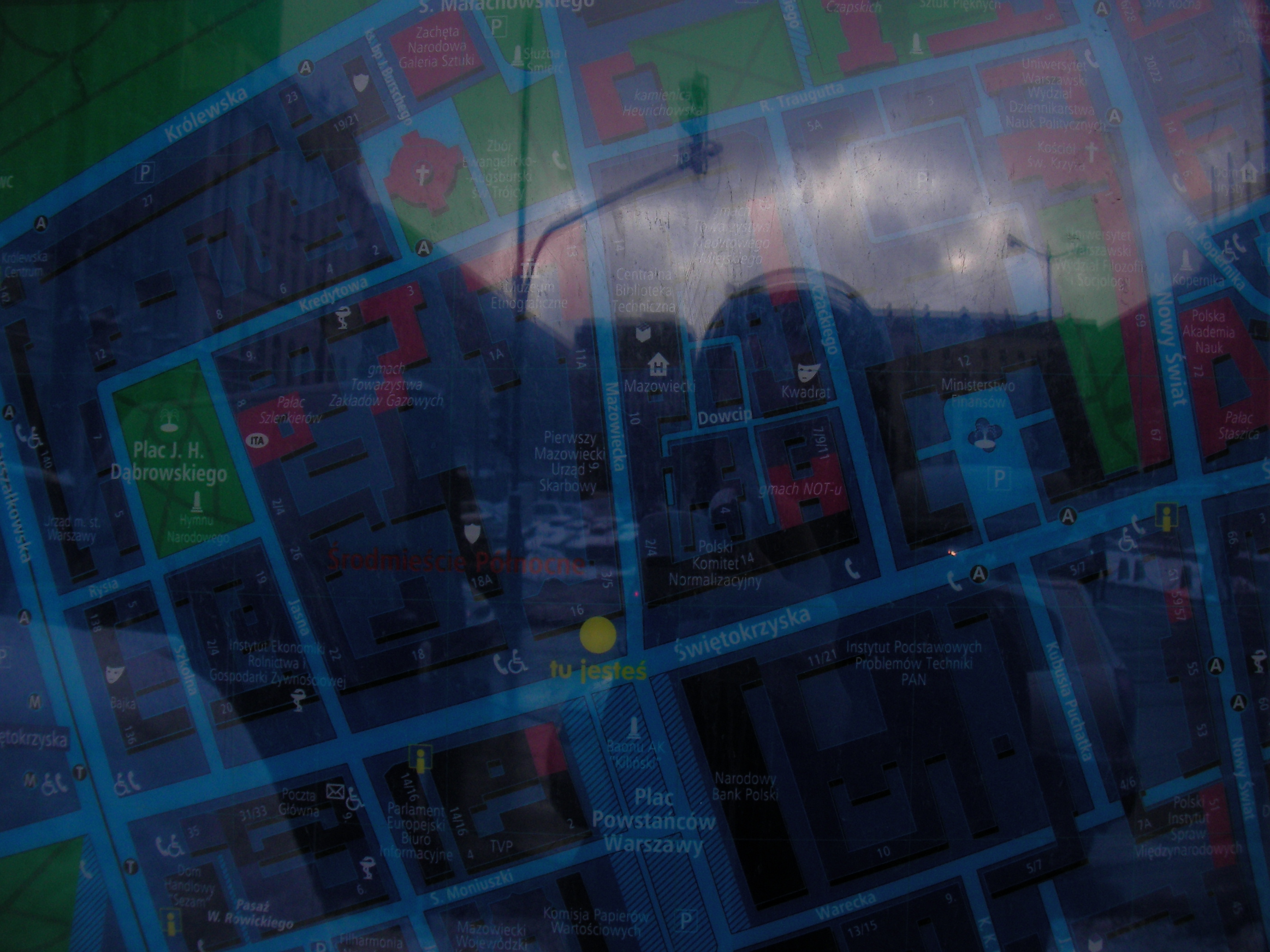
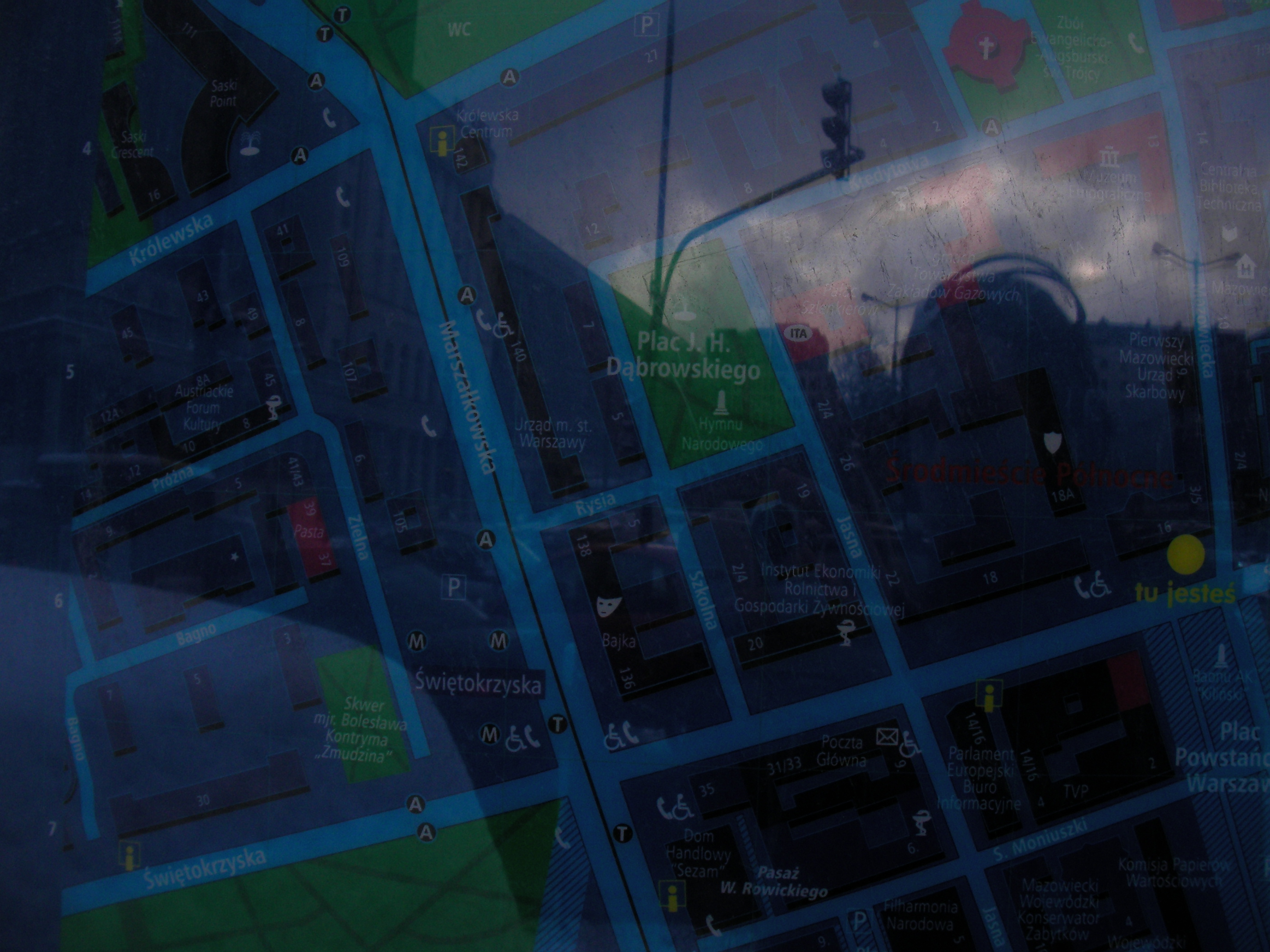
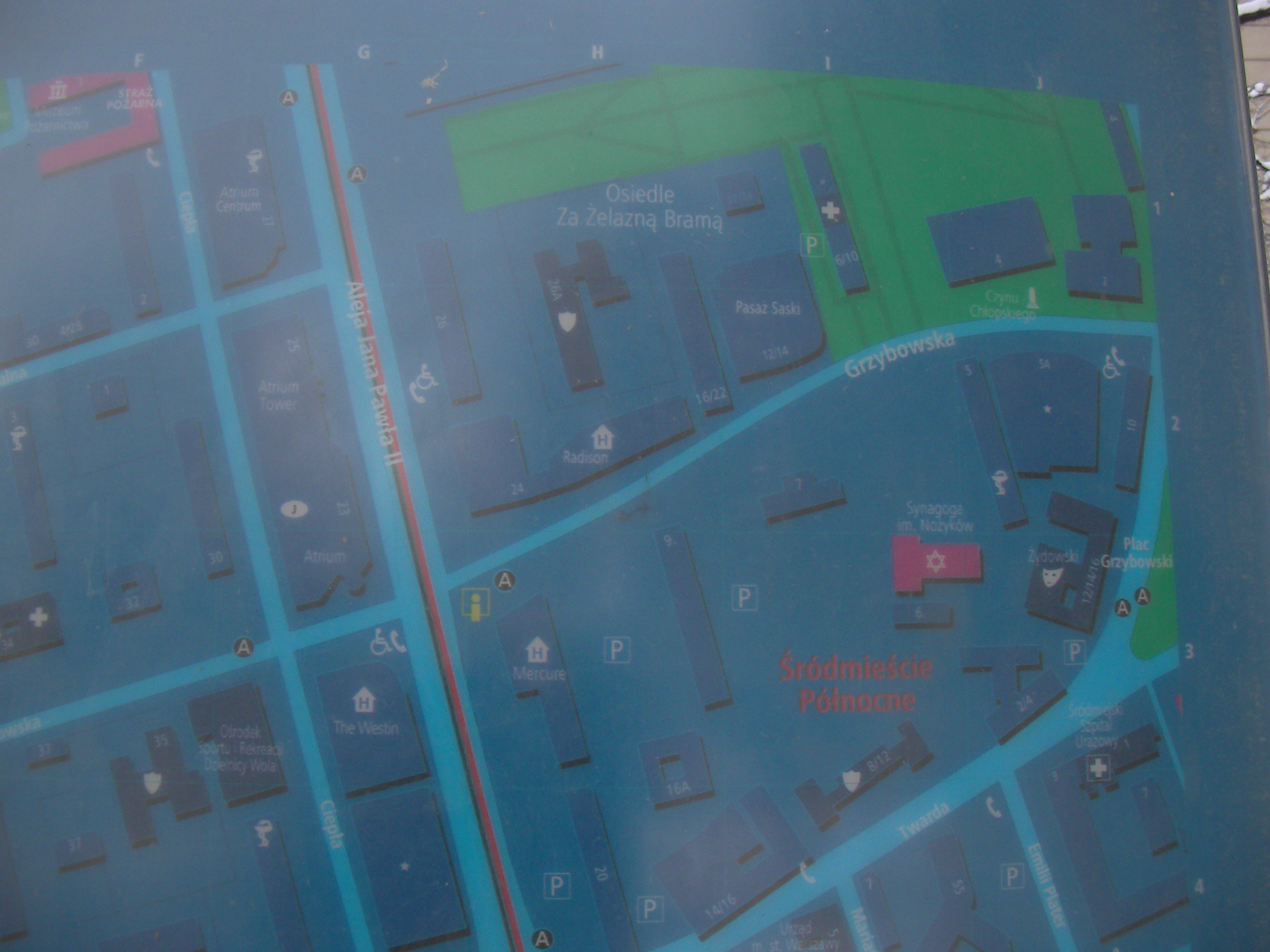
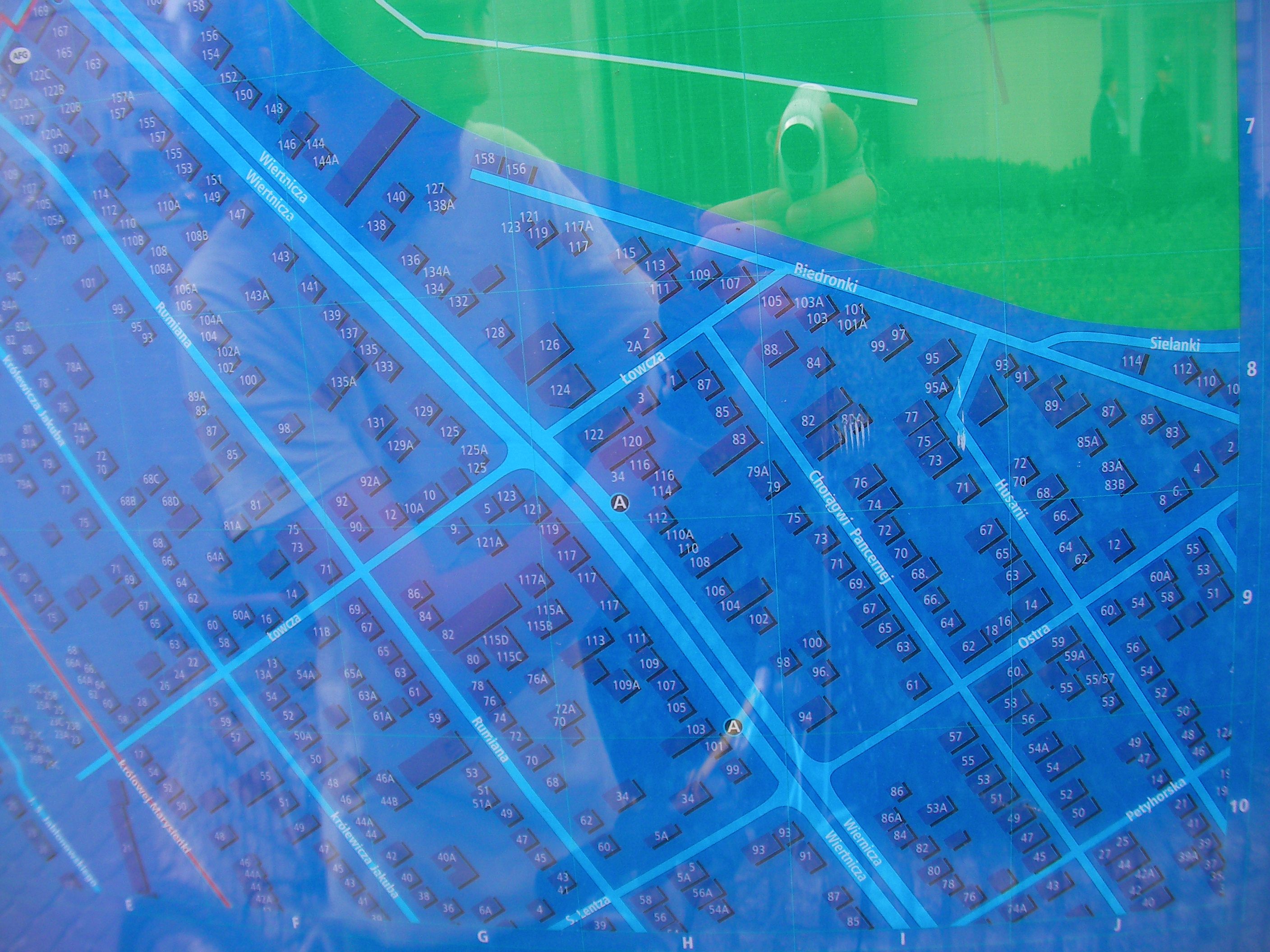
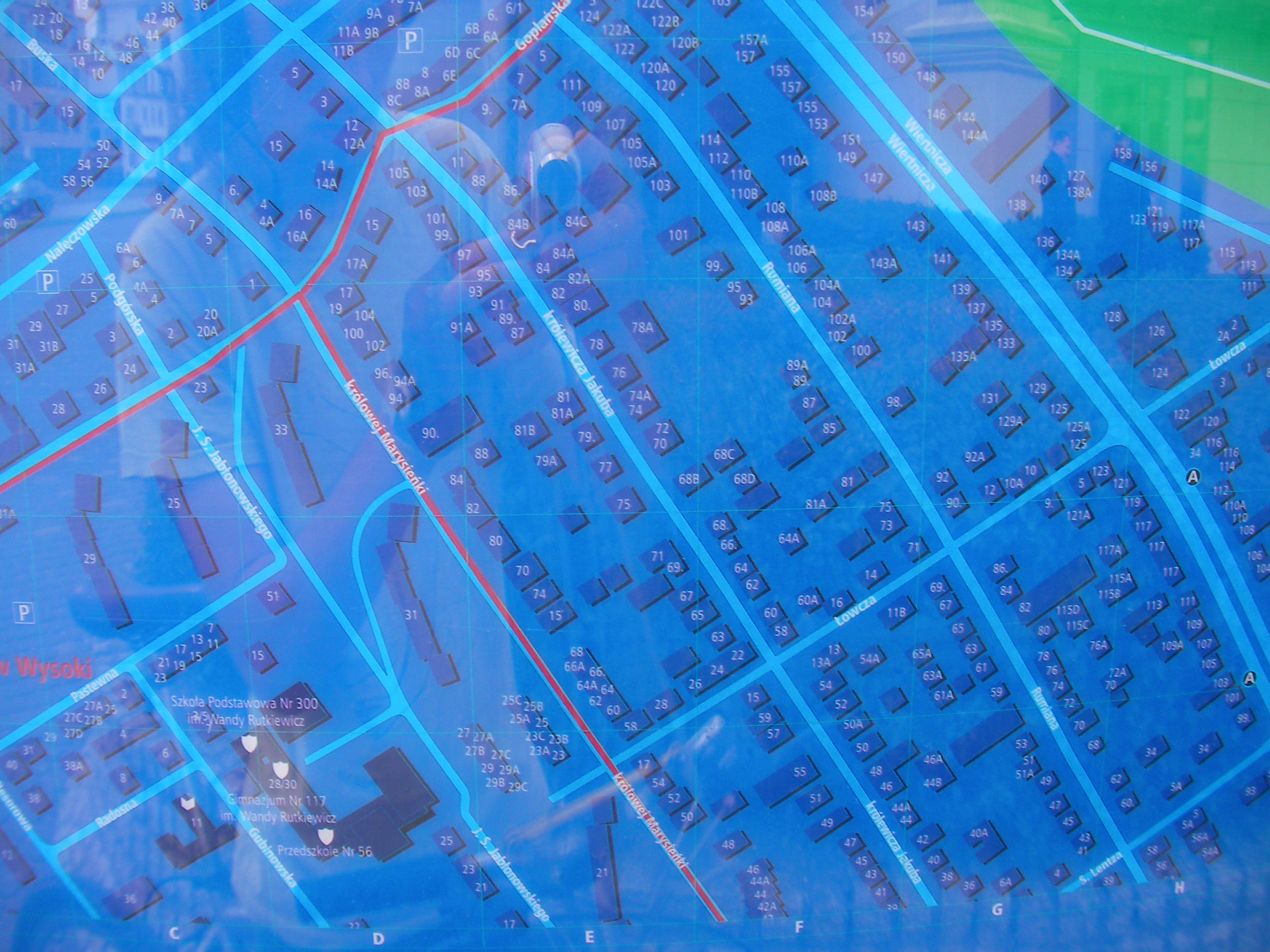
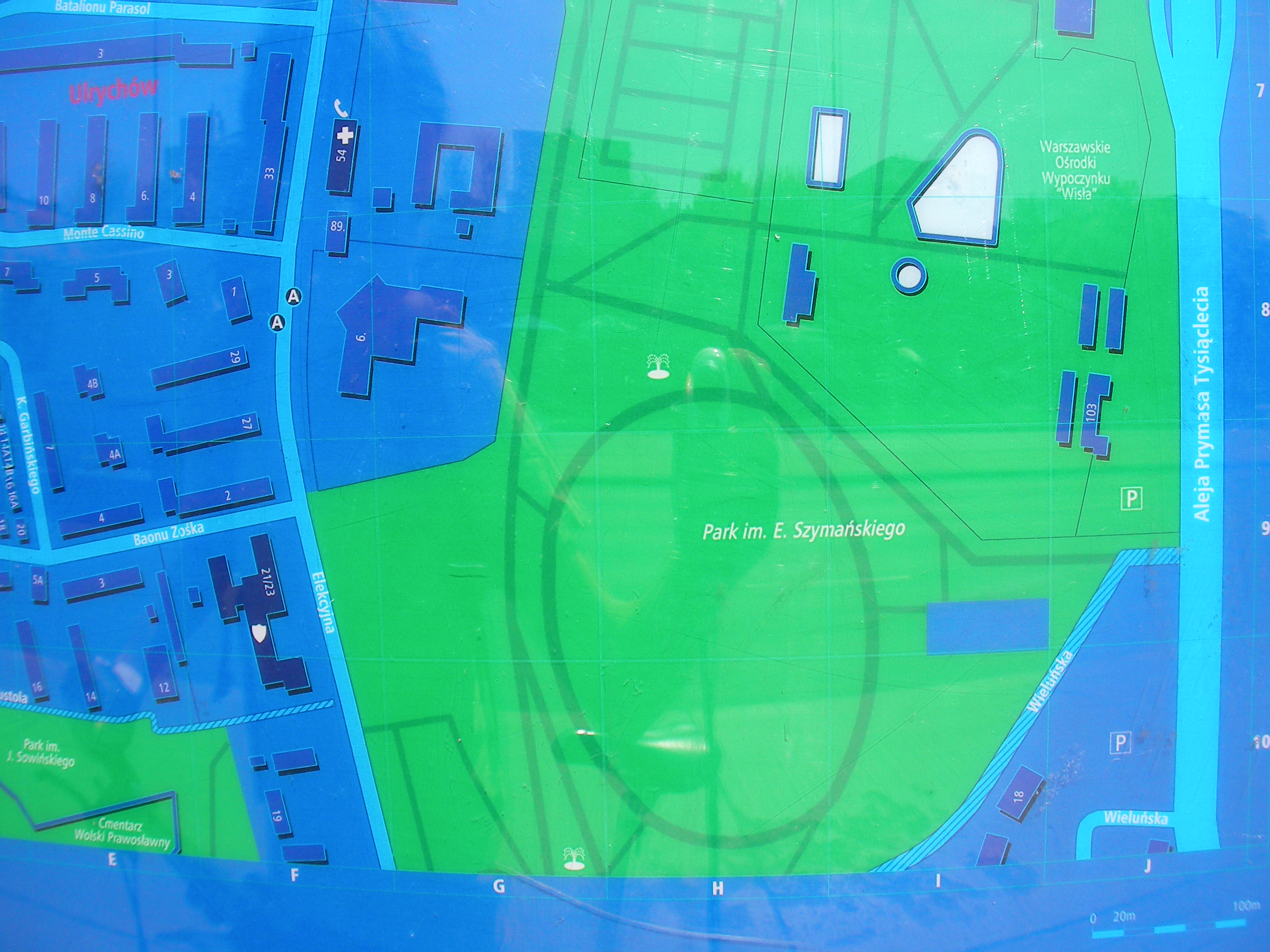
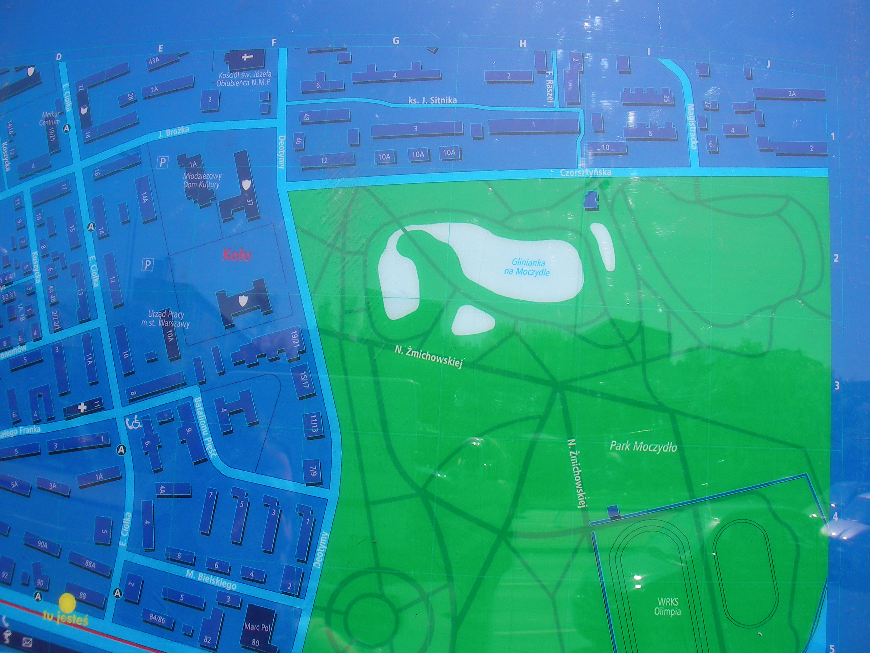
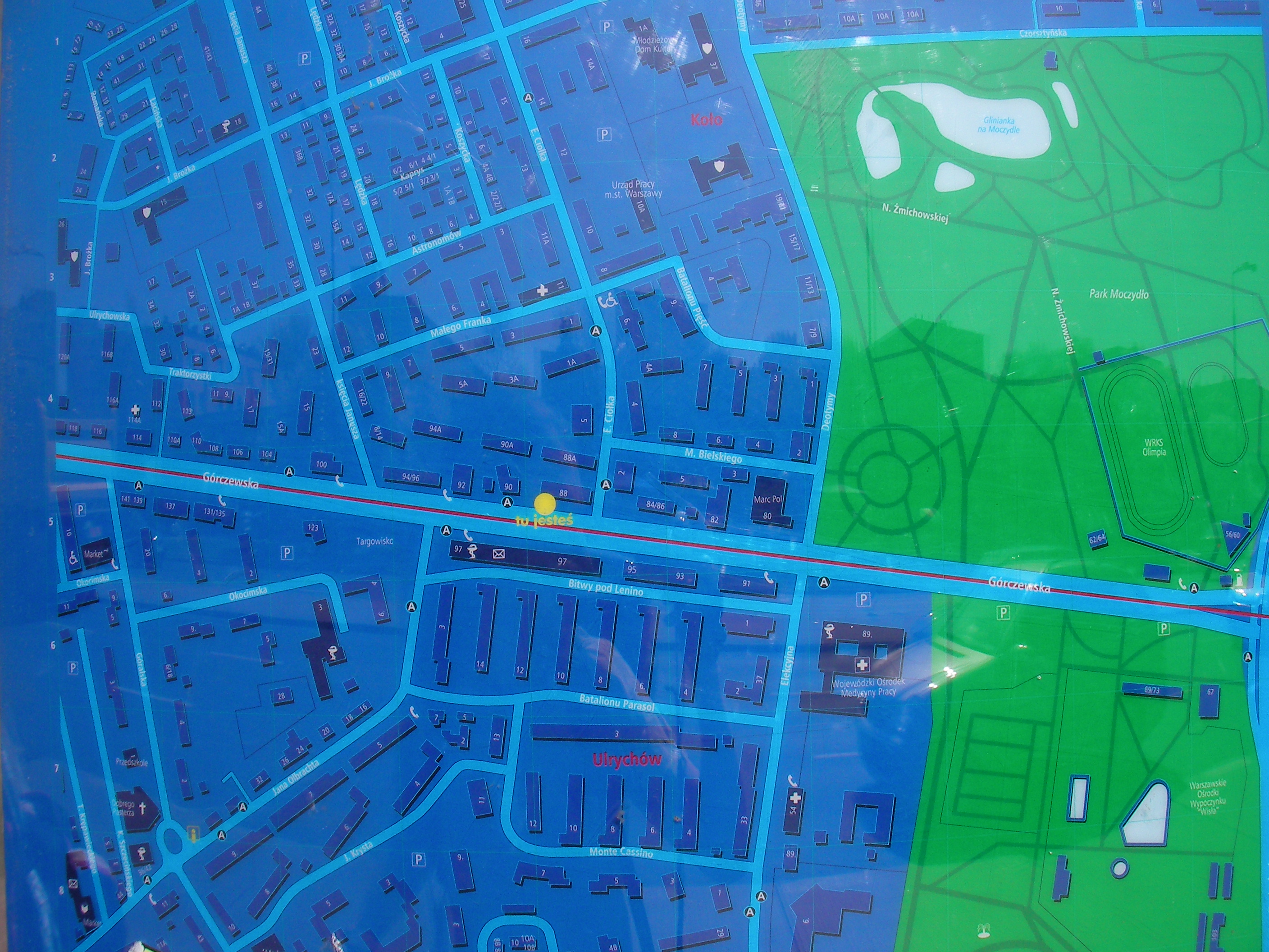
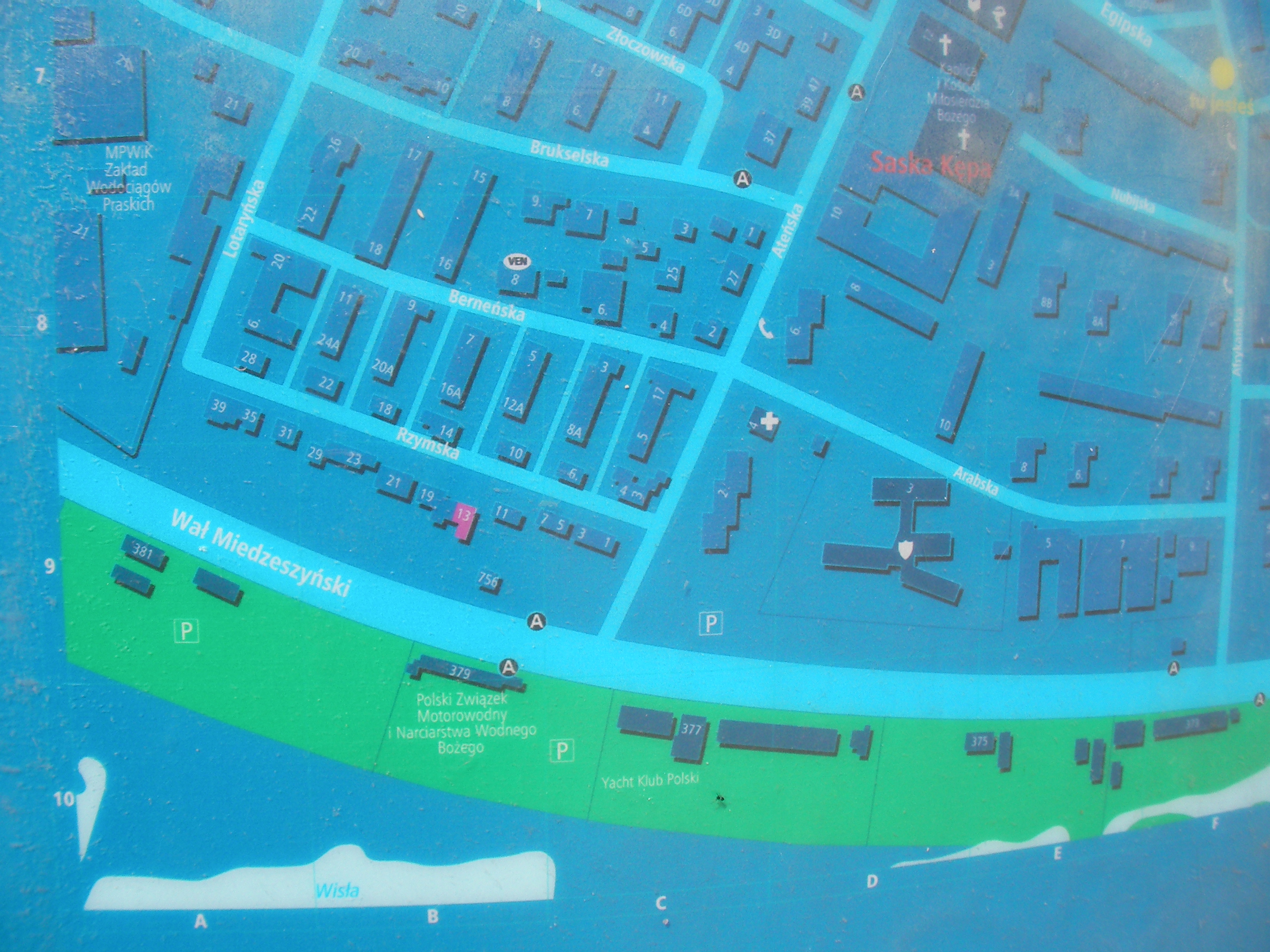
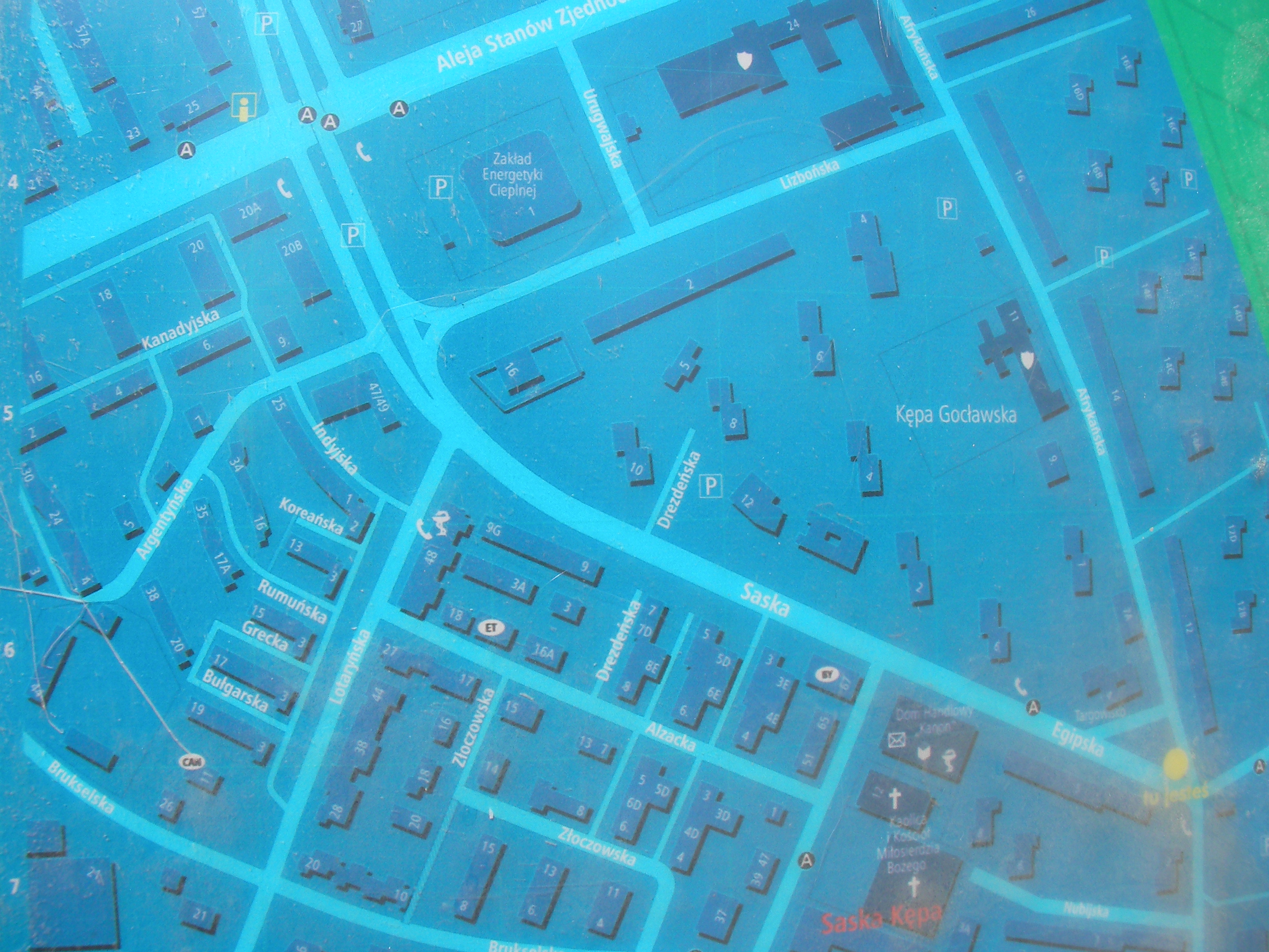
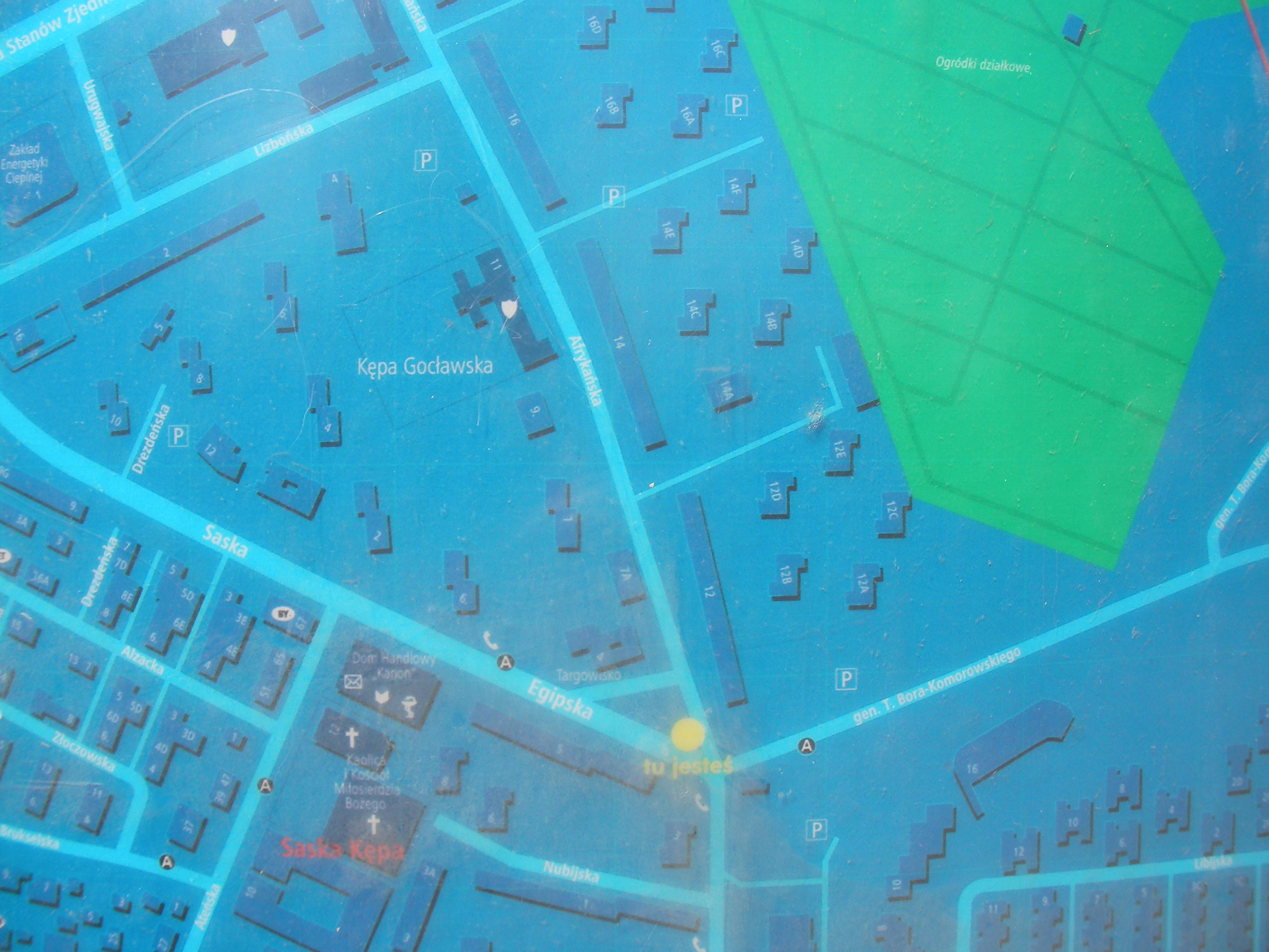
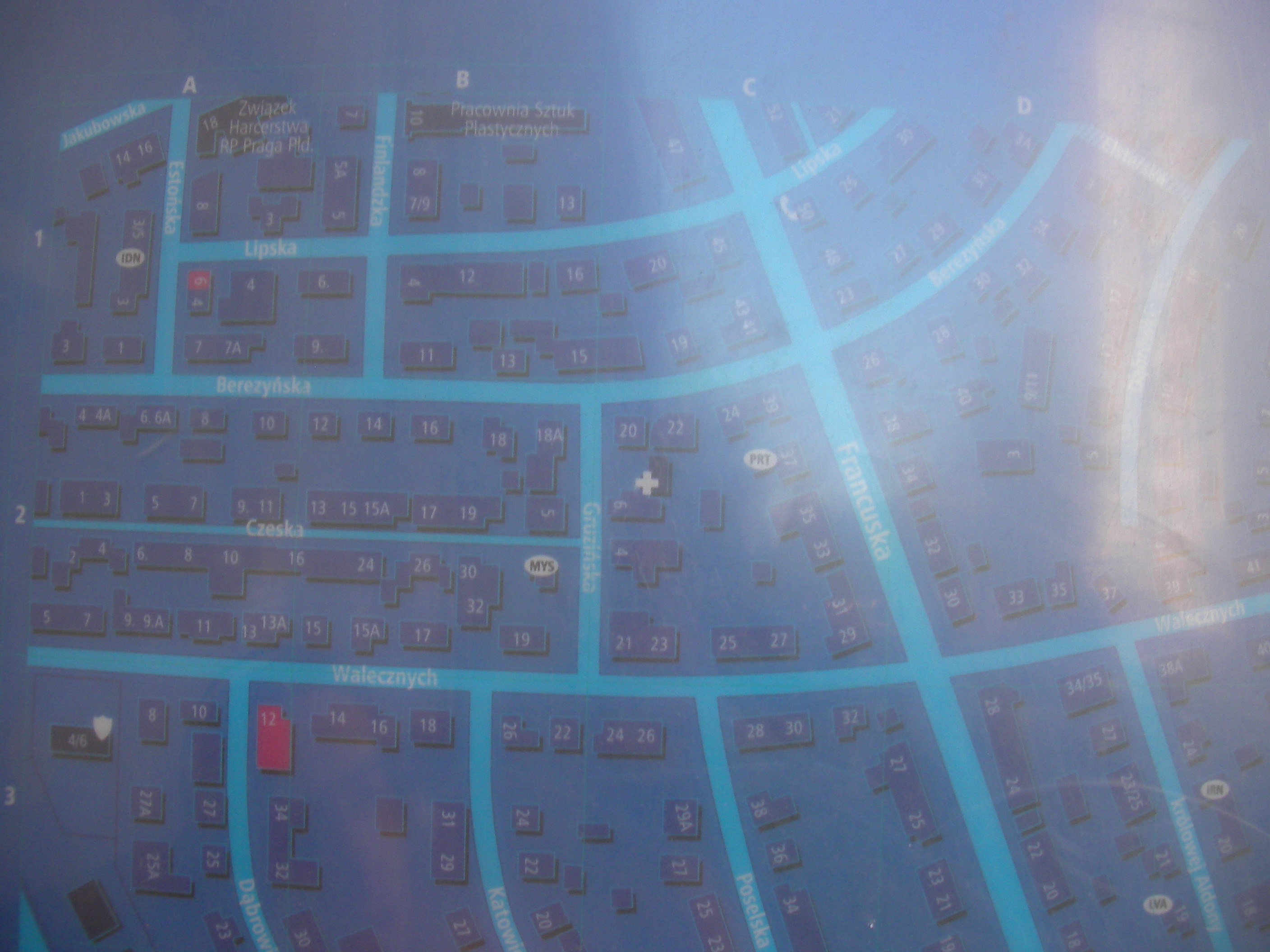
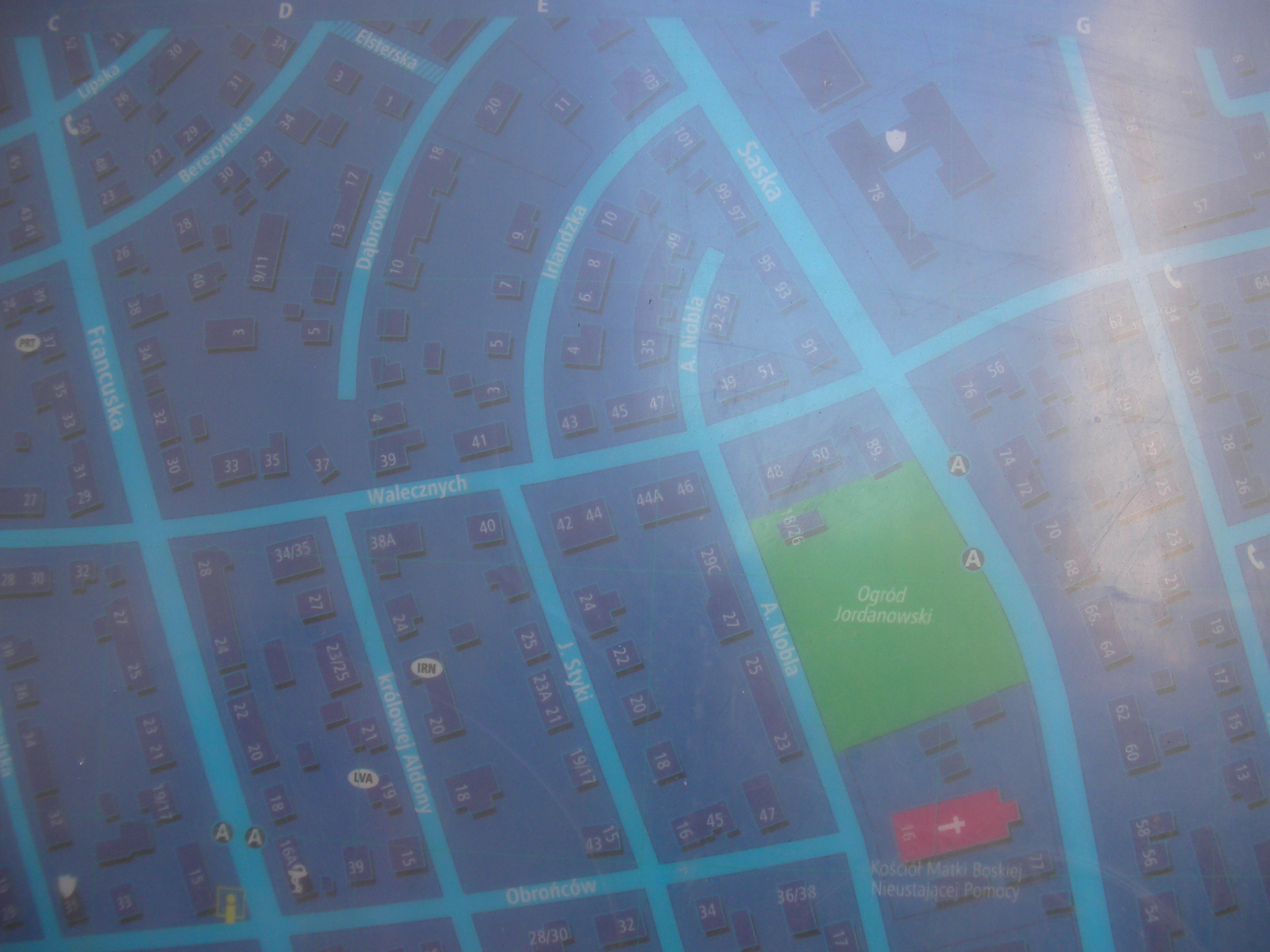
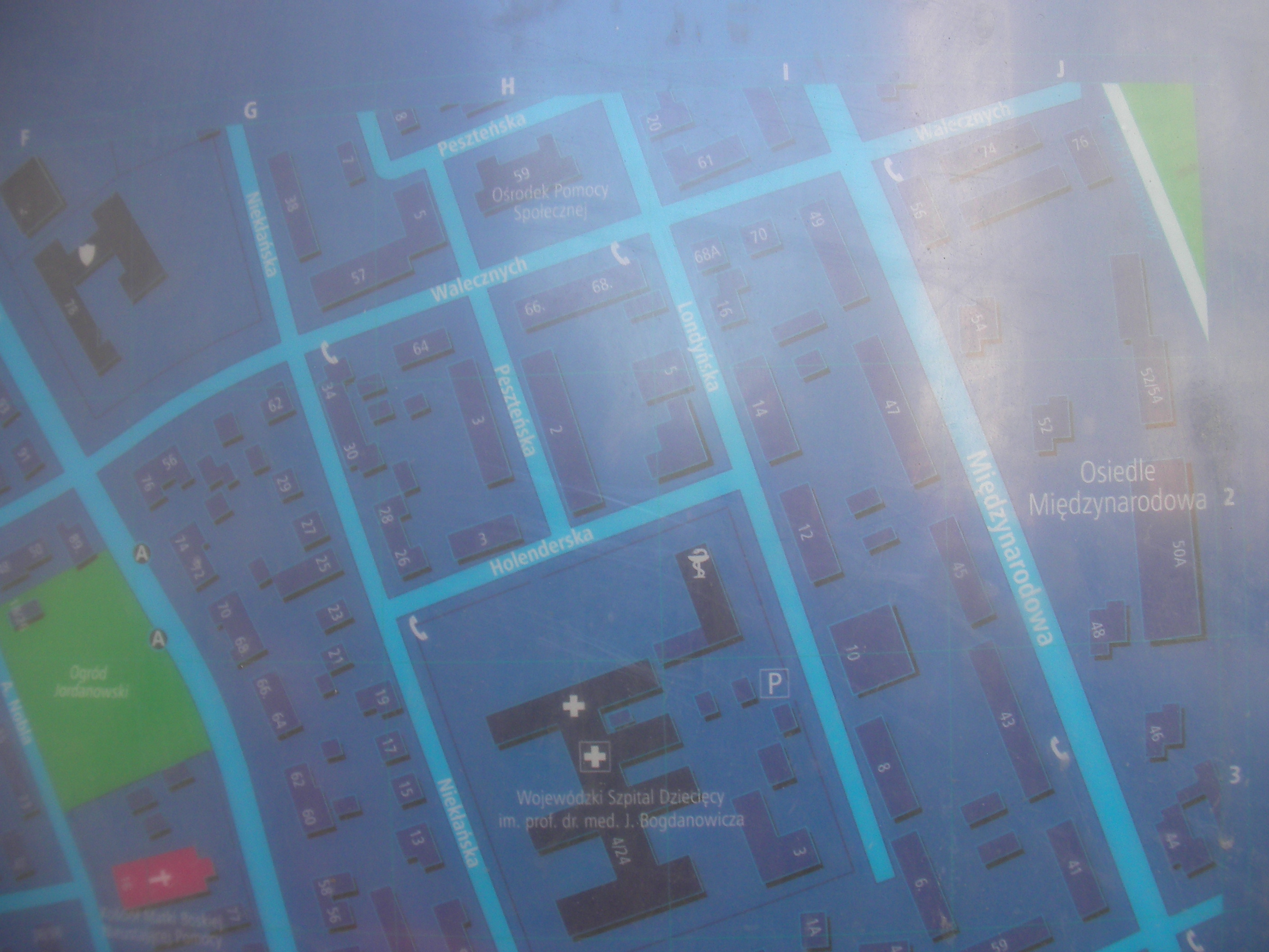
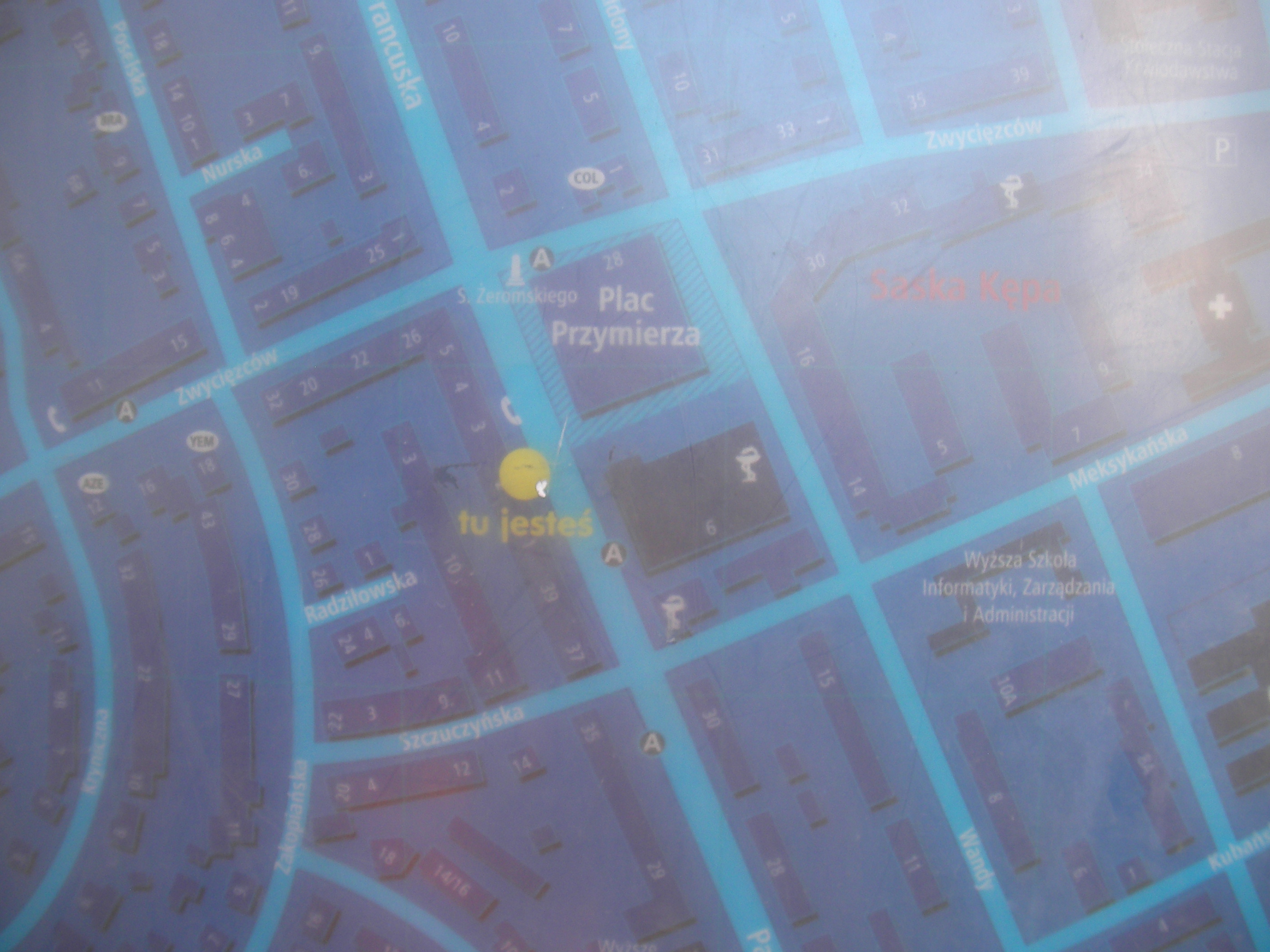
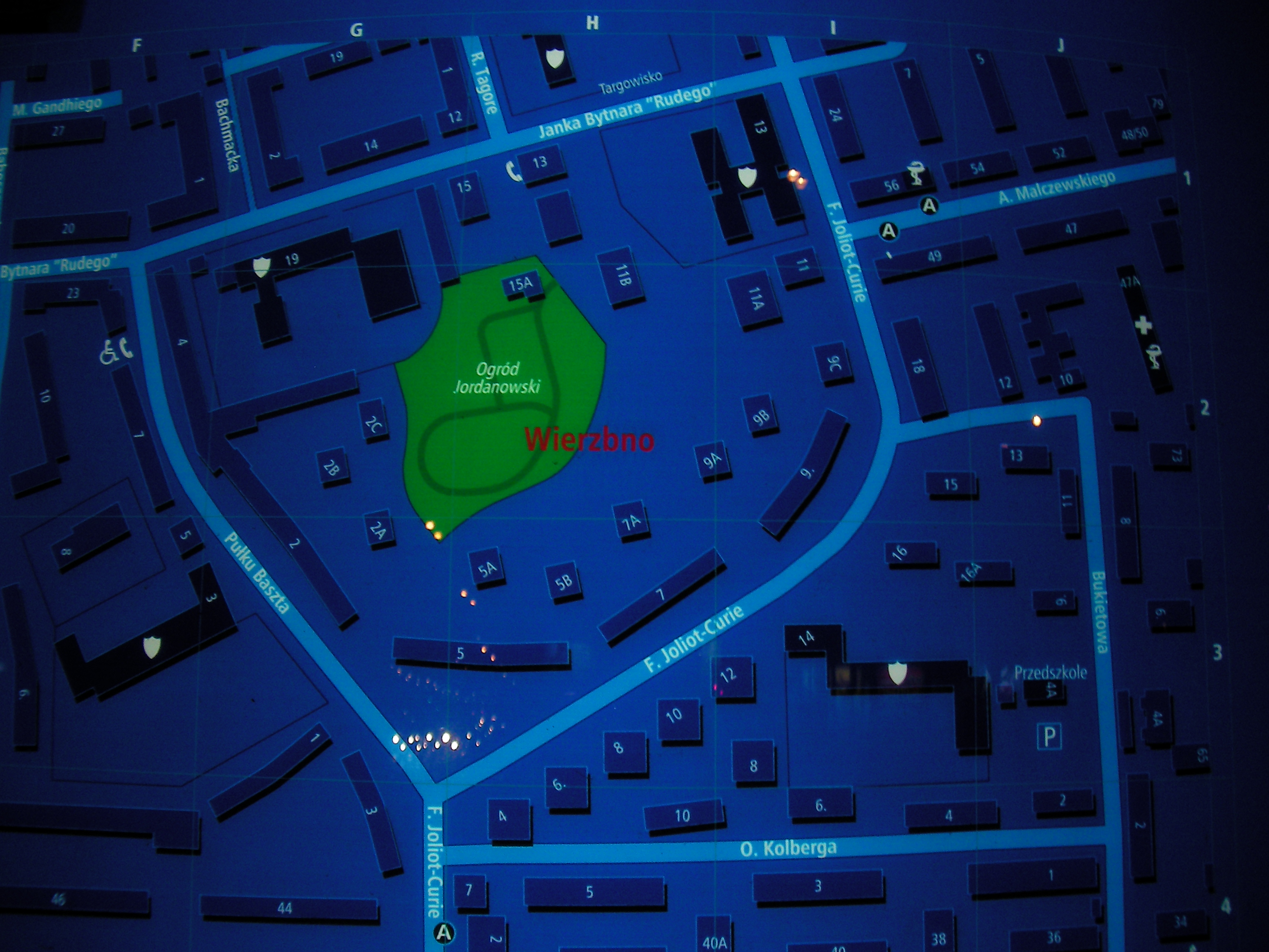
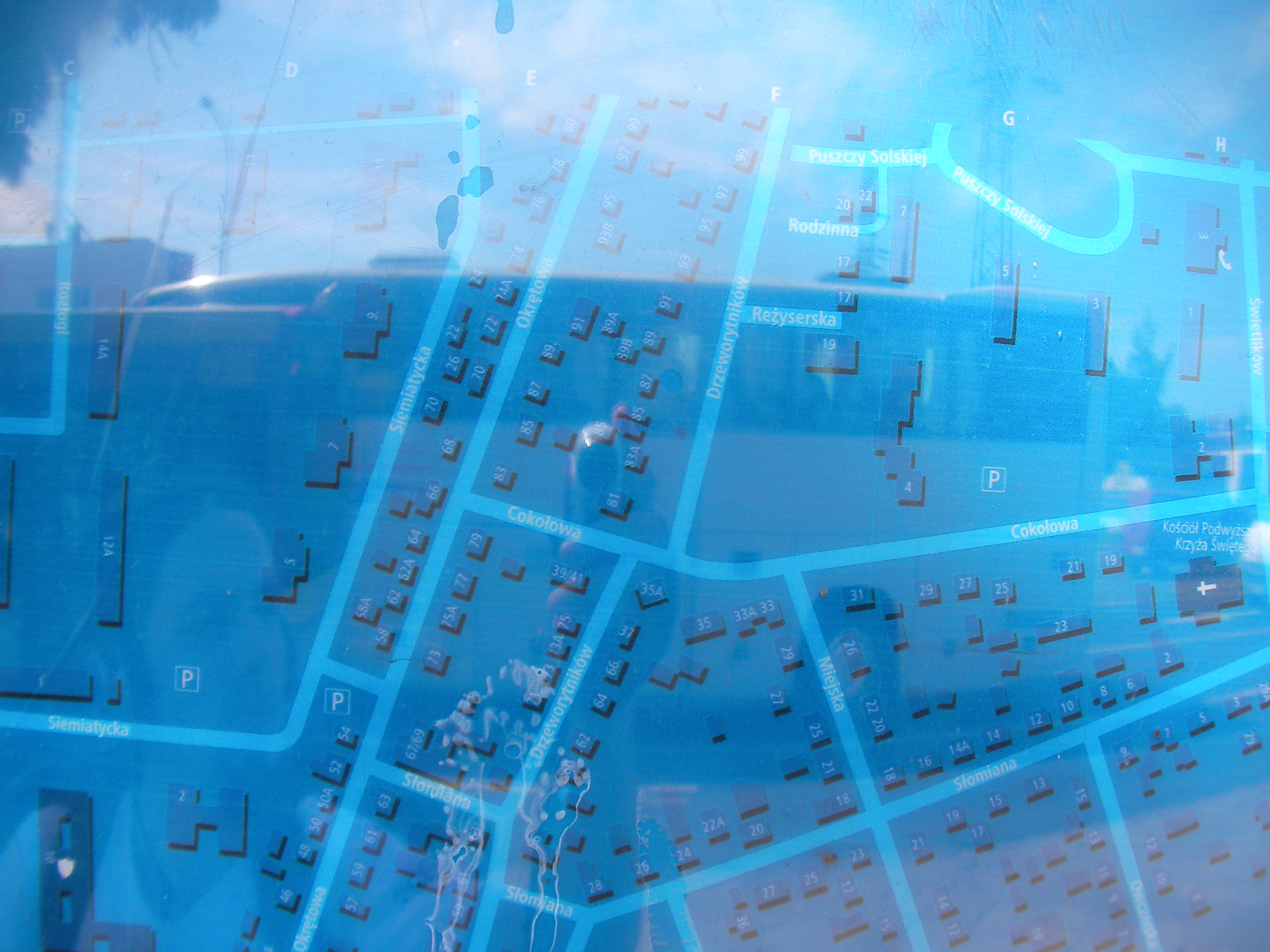
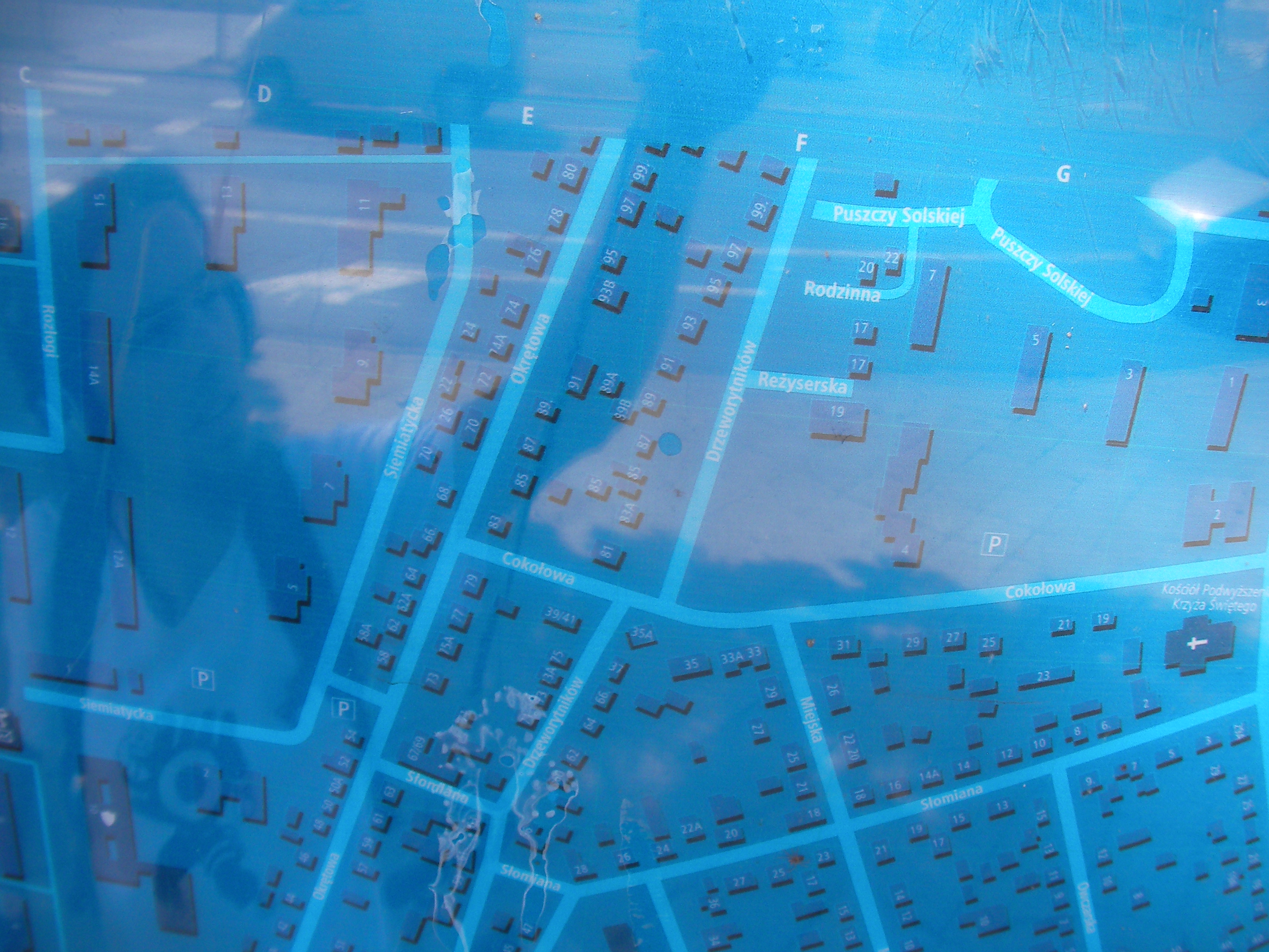
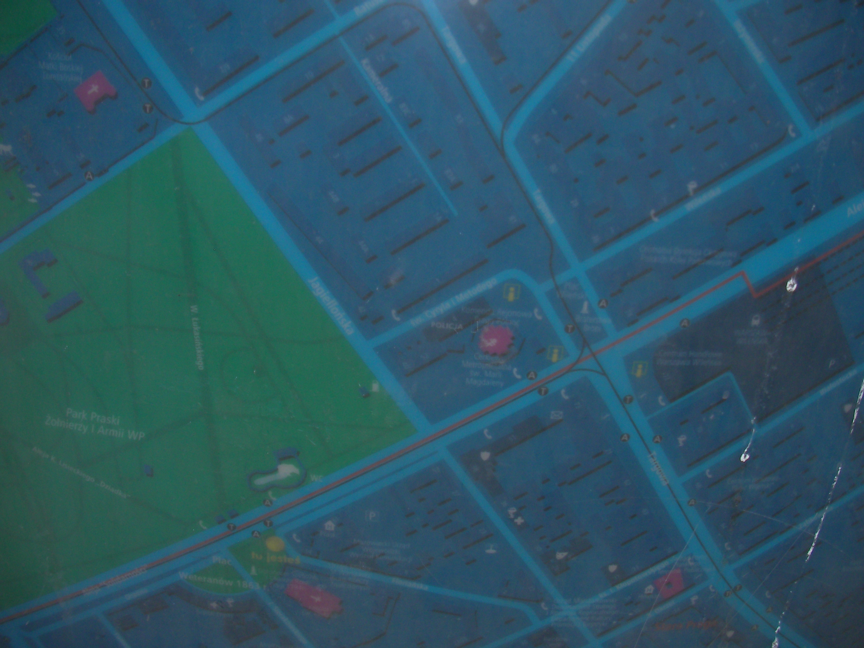
The map posts are placed mostly in central places of districts or urbanisations and have two sides, one containing the location of the place on a map of the entire city with only administrative divisions and nothing else marked, not very useful. The other side has a schematic map of the surrounding of the post (with a "You're here" sign in the centre) covering square areas roughly 1km x 1km in size. The maps have roads, buildings with house numbers and common names, parks, bus/tram stops and other Points-of-Interest. Since this is mostly in busy districts, we already have most of the streets in these areas in OSM, but it can be used for reference. I find the addressing information valuable because it means we can have a relatively complete map with buildings and their addresses and provide usable address search for central streets. Of course copying the data won't be much fun.
The posts were not all installed at the same time and some of them may be a little outdated so care needs to be taken.
Attribution
Let's tag data coming from MSI maps with source=msi.
Access
I took pictures of the MSI map posts I crossed on my way this week and collected some so that they can be discussed here on the wiki, or data copied right away without leaving your home (armchair mapping). There are many more in areas I don't visit and if you take pictures of them, post them here.
The pictures are of very poor quality and unprofessional but you can decypher some names / numbers on them. The winter lighting conditions and my camera didn't get along well.
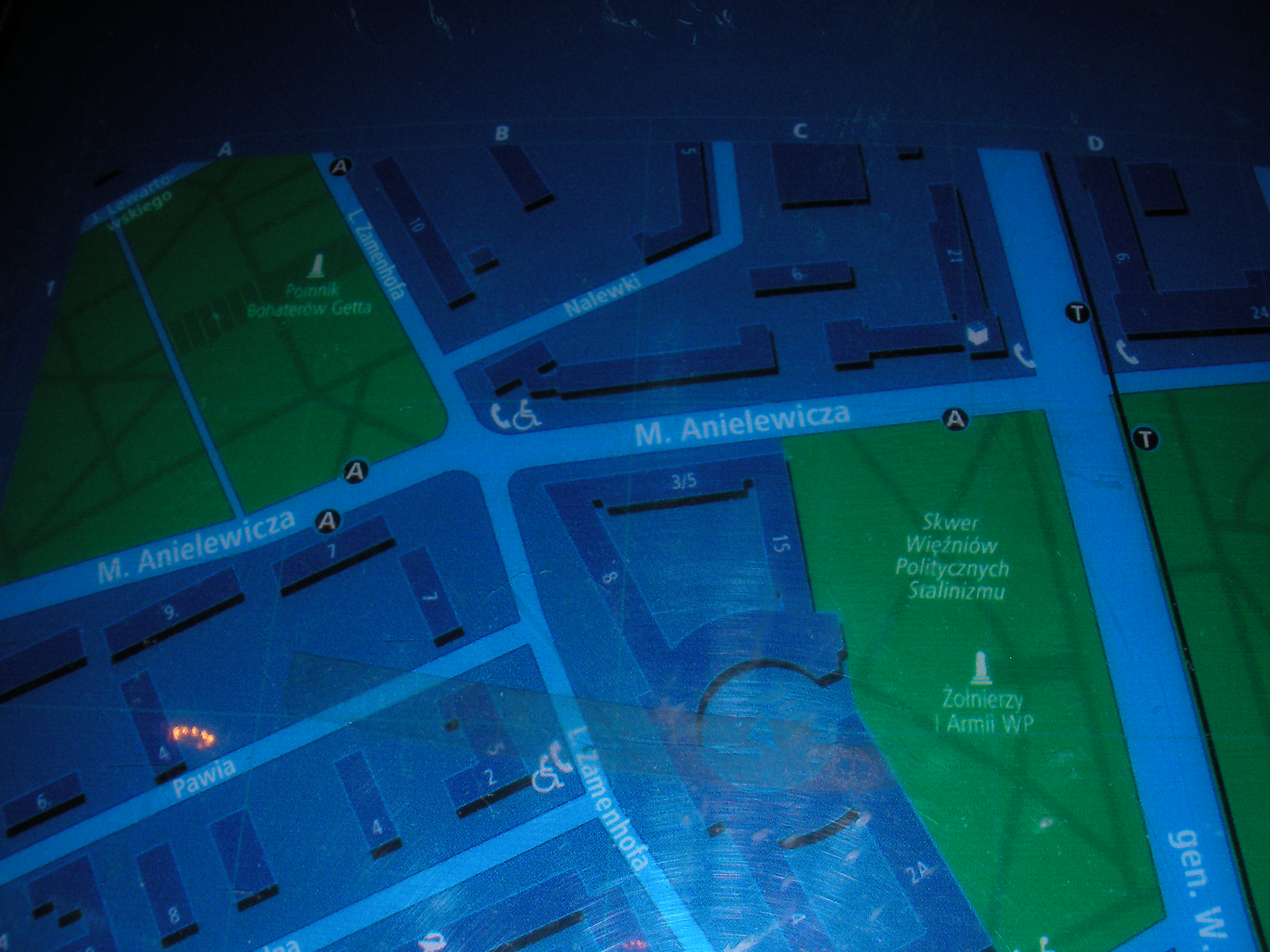
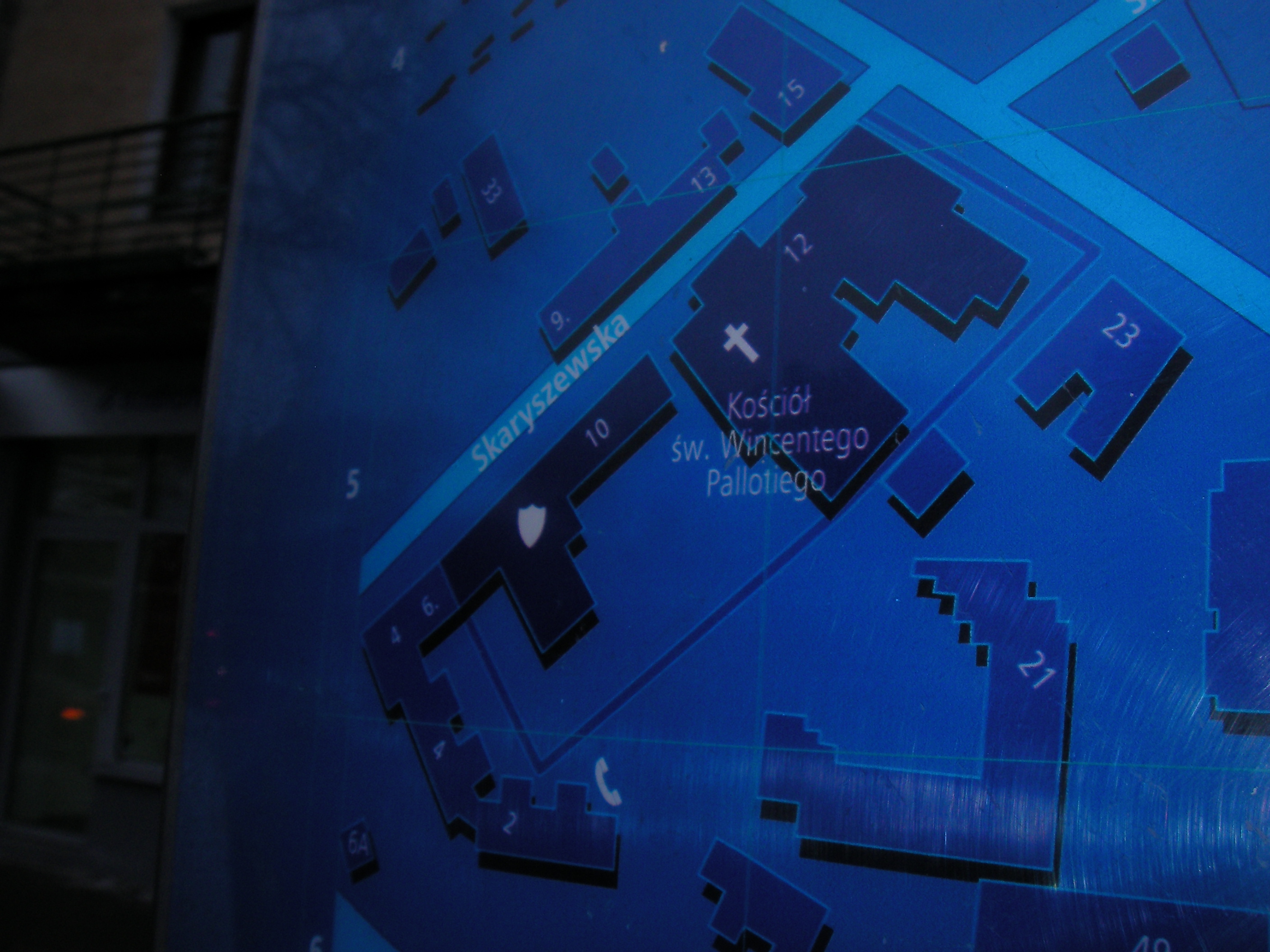
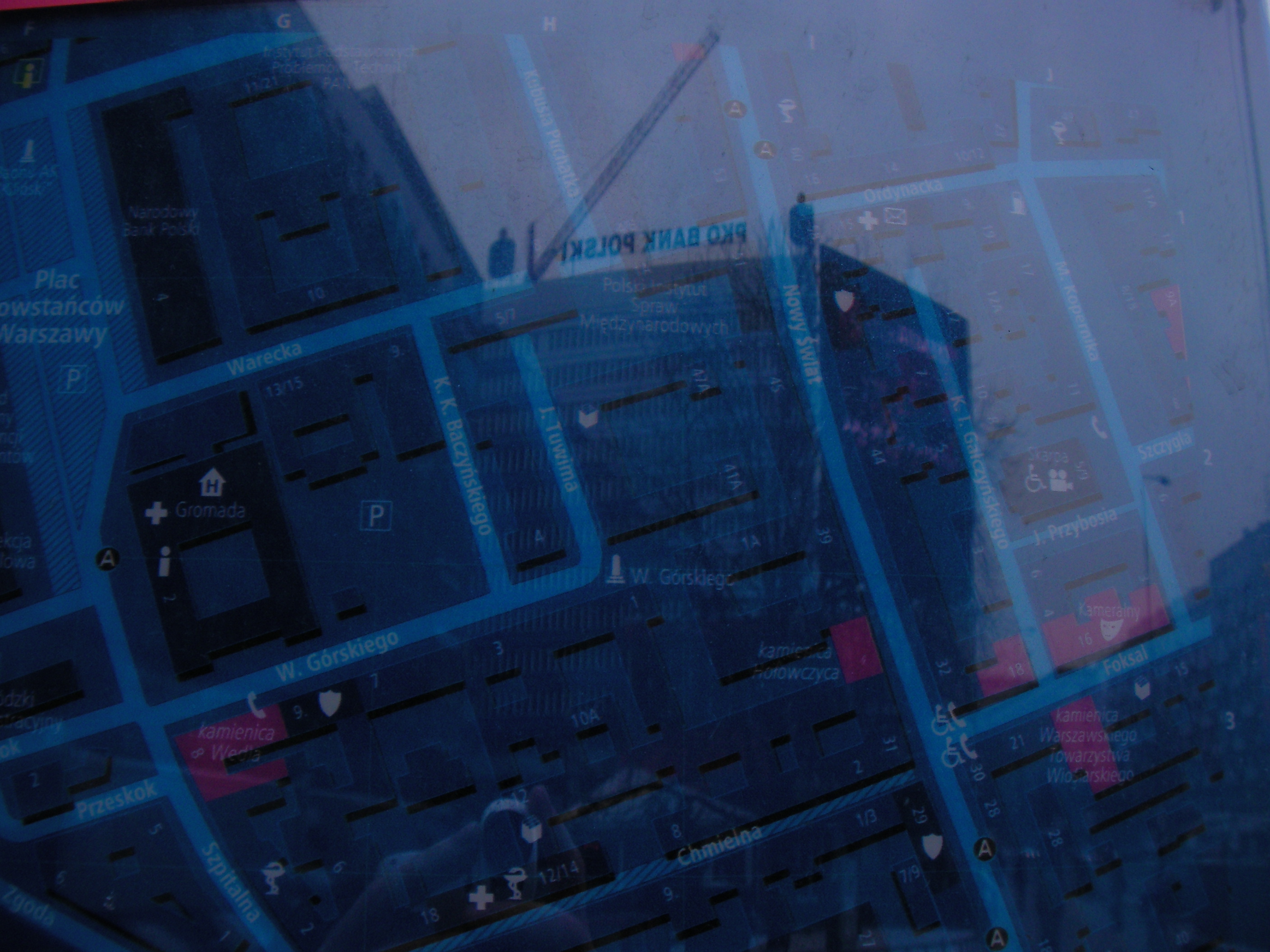
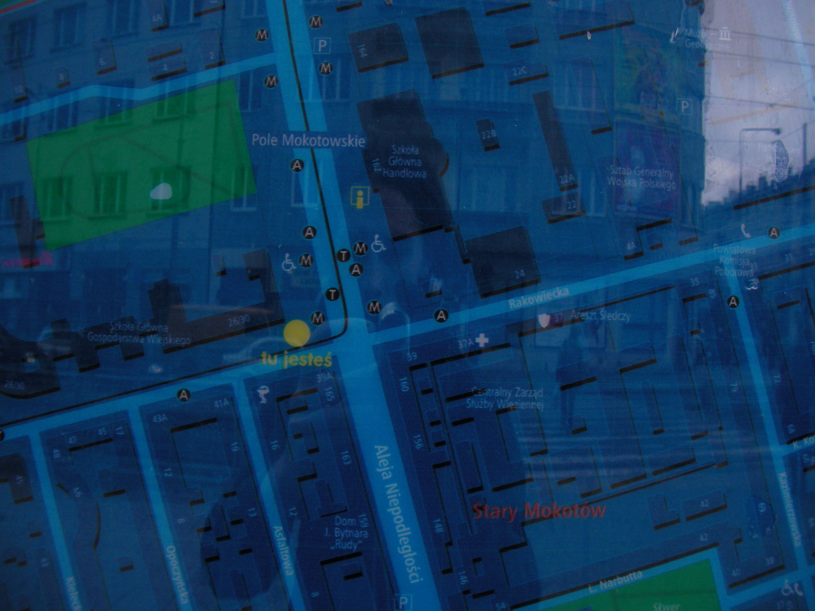
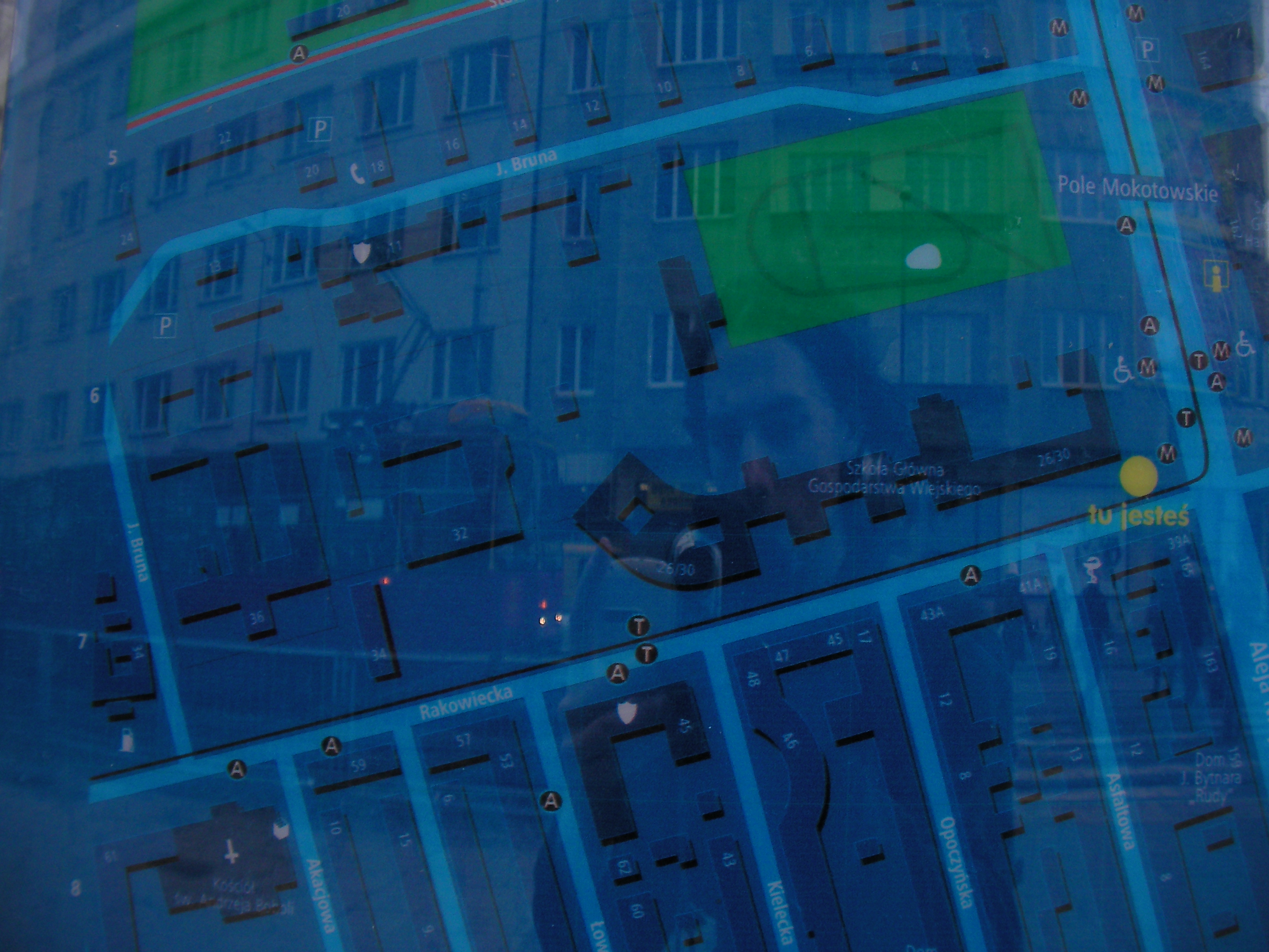
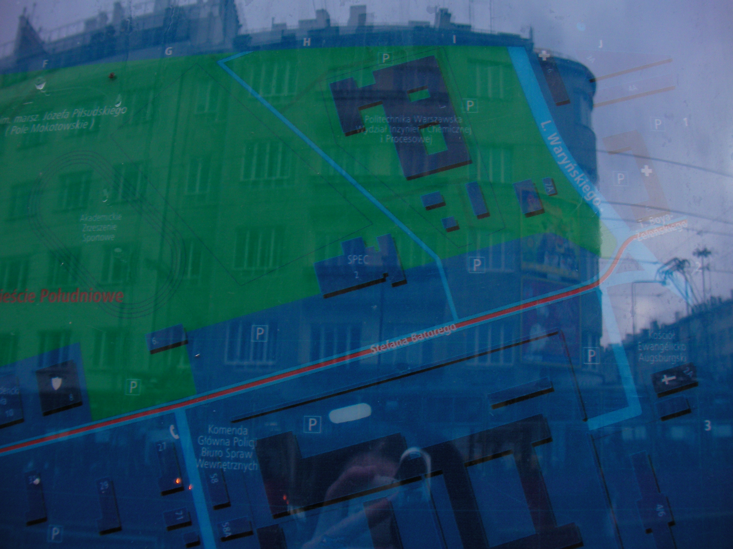
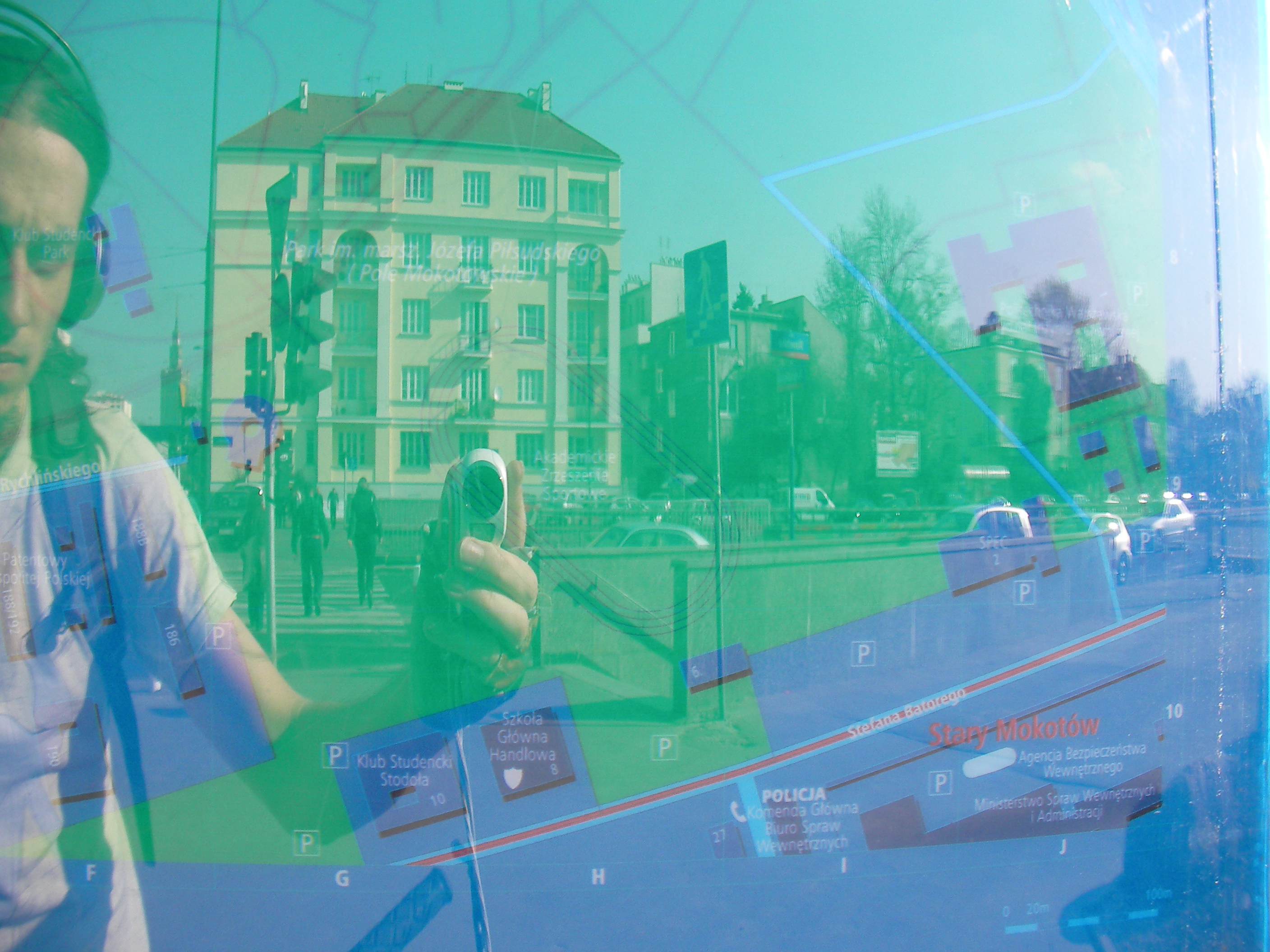
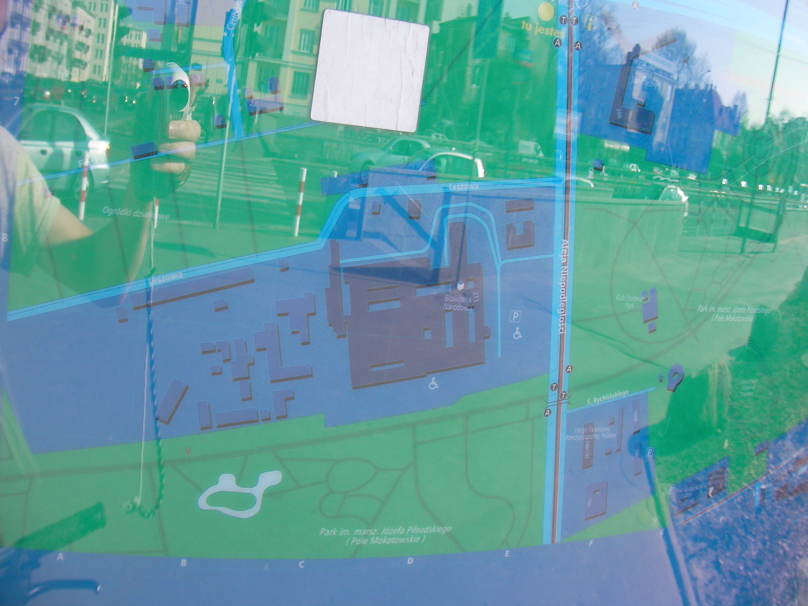
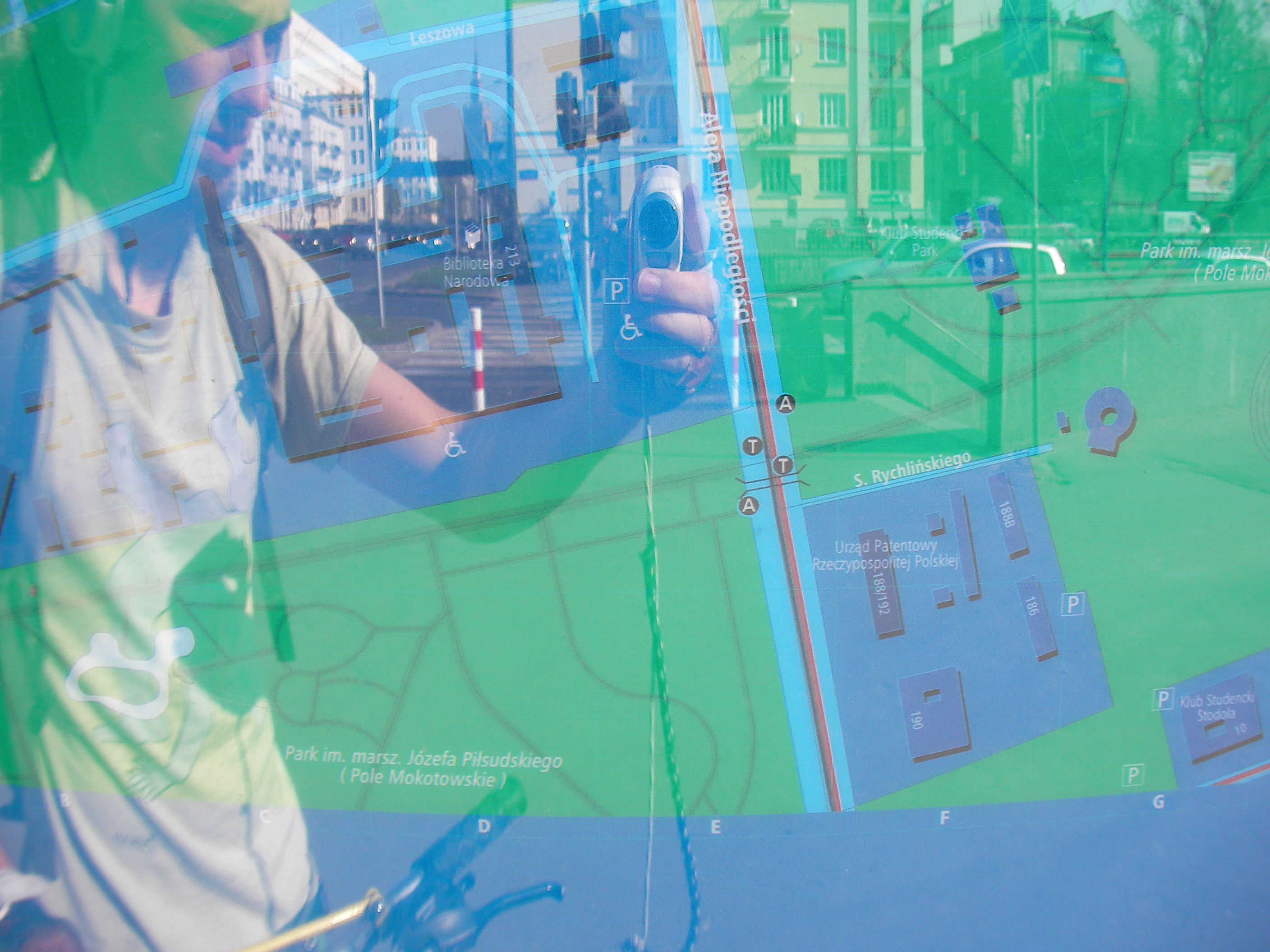
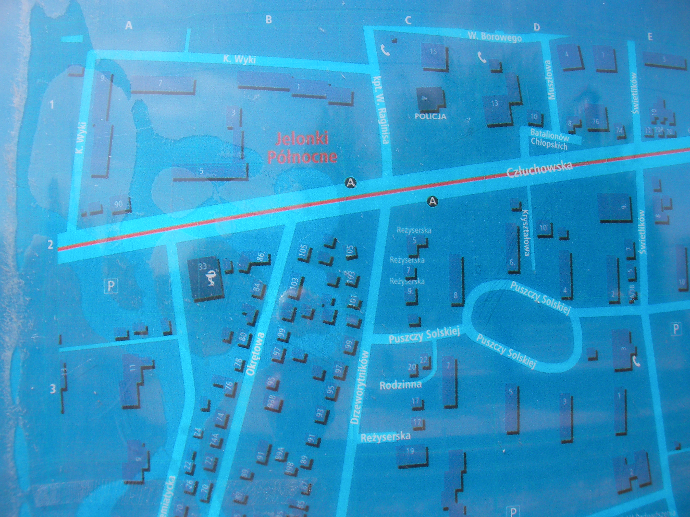
Metro Pole Mokotowskie
In front of Szkoła Główna Handlowa. Approximate location
- Bottom half, Bottom-left, Top-middle, Top-middle, Top half, Top-right, Bottom-right, Bottom-left, Top-left.
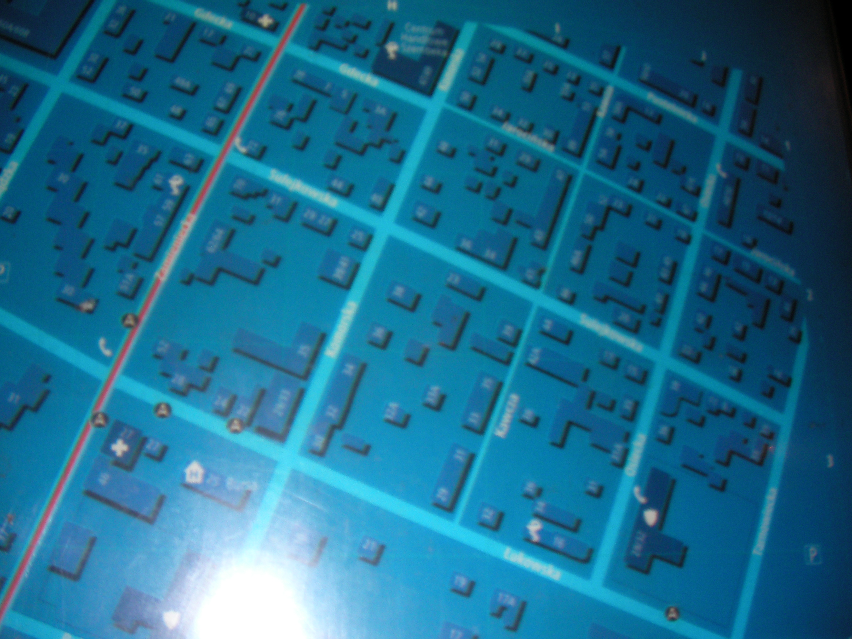
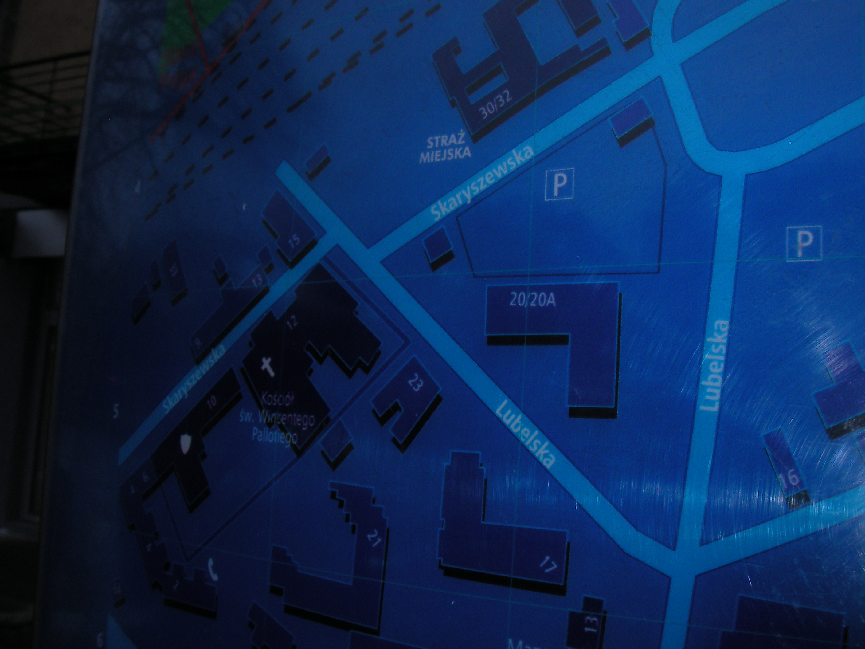
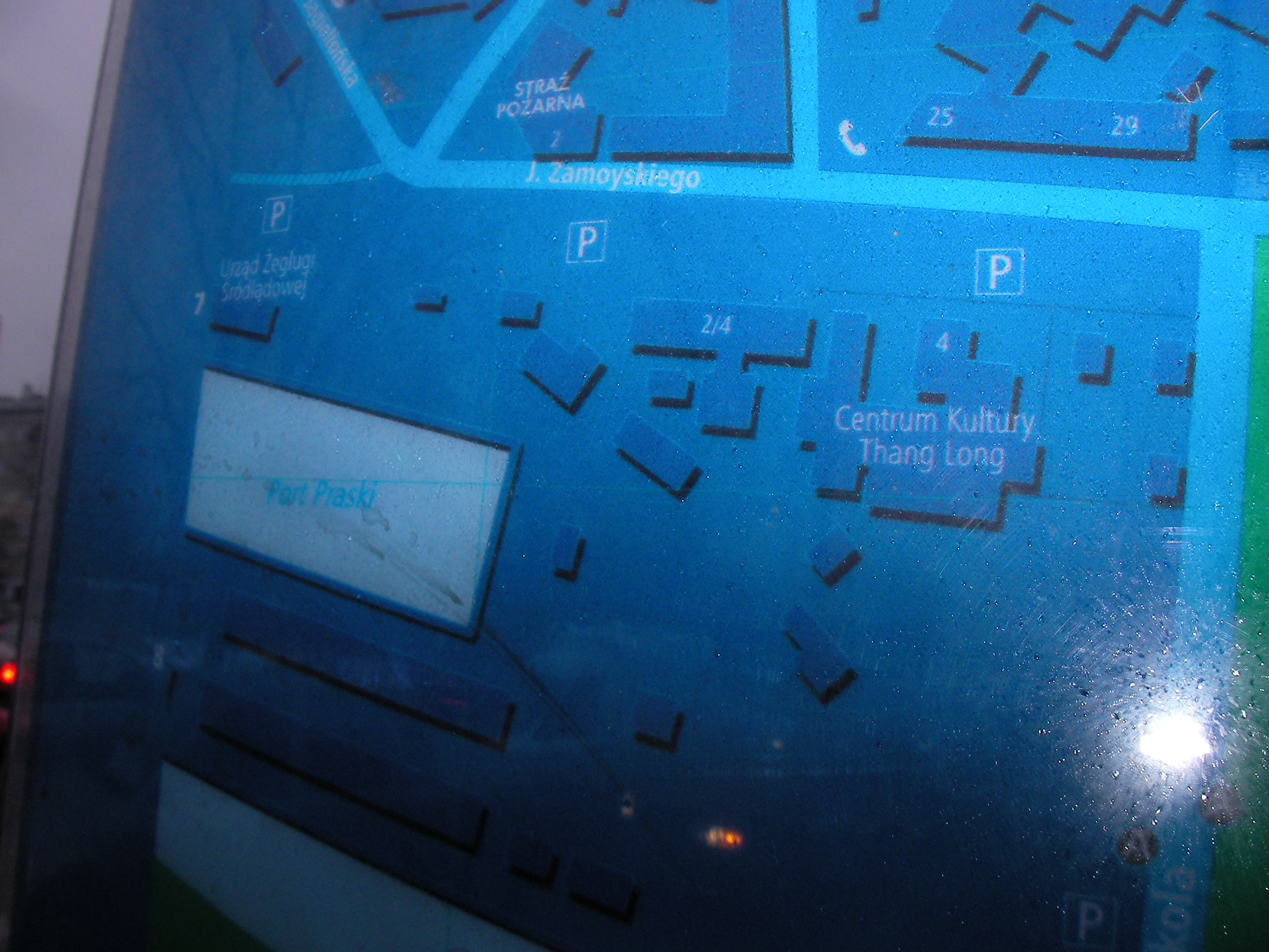
South end of Zamieniecka
The crossing of Zamieniecka & Ostrobramska. Approximate location.
- Very poor night pics. Top half, Top-left, Bottom-right, Top-middle, Top-right, Top-right, Bottom-left, Top-left.
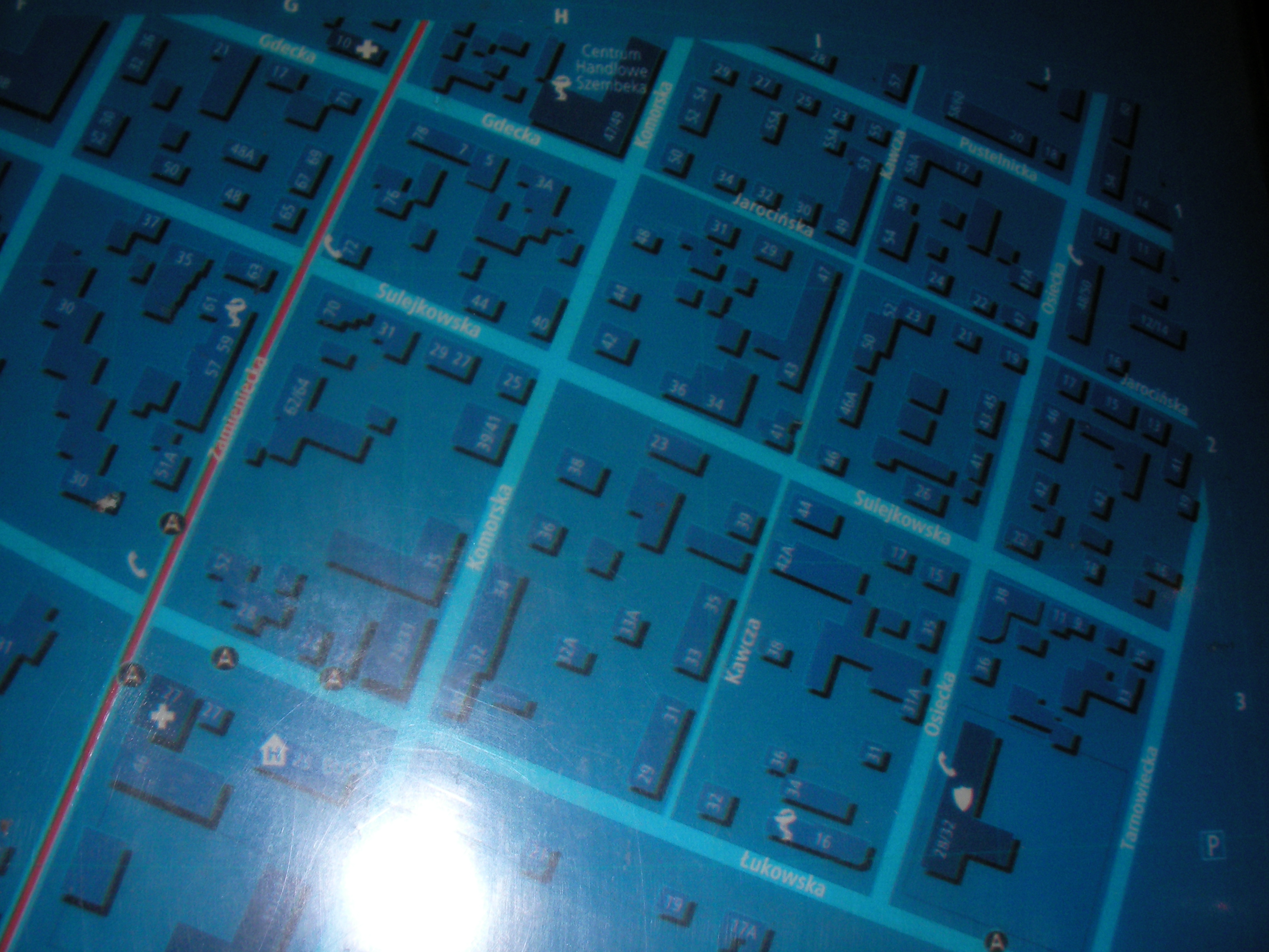
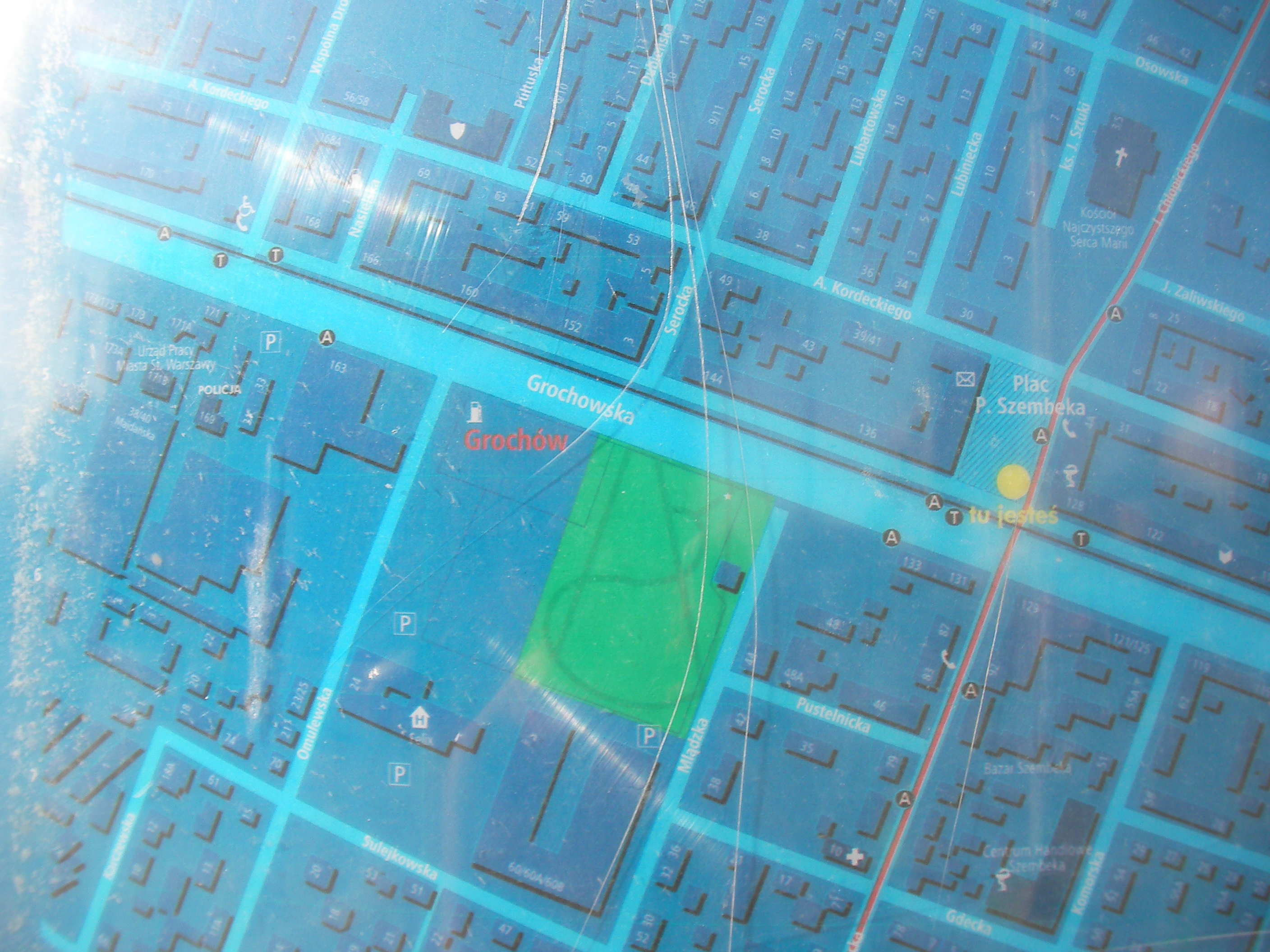
Plac Szembeka
South-east corner of Szembeka square. Approximate location.
- Very poor night pics. Top-left, Bottom-left, Top-right, Top-right.
- Another night set. Middle-right, Right, Top-right, Top, Middle-top, Left, Top-left, Top, Left, Left, Right.
- A day set. Top-right, Right, Top half, Top, Top-left, Bottom-right, Middle-left.
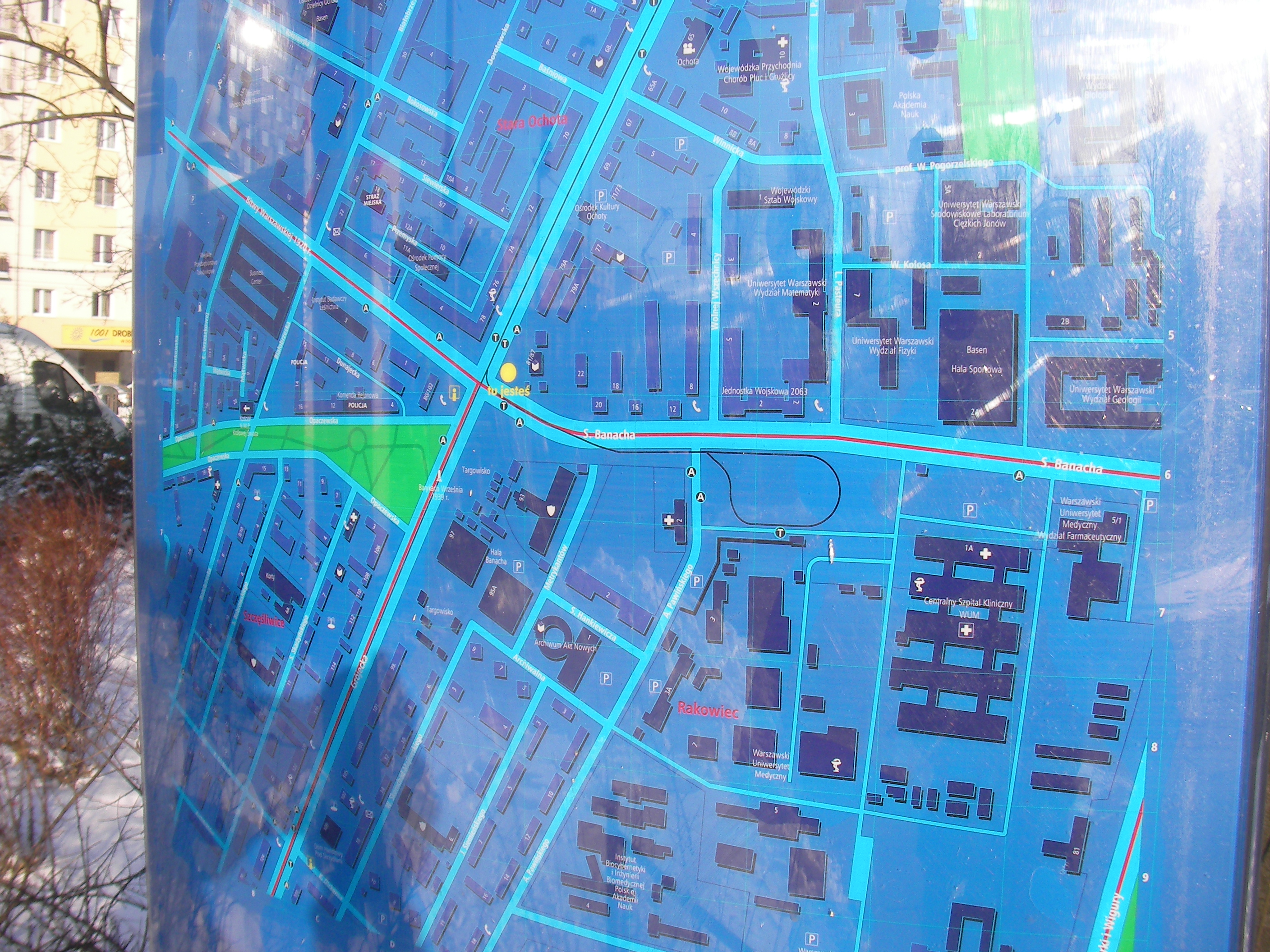
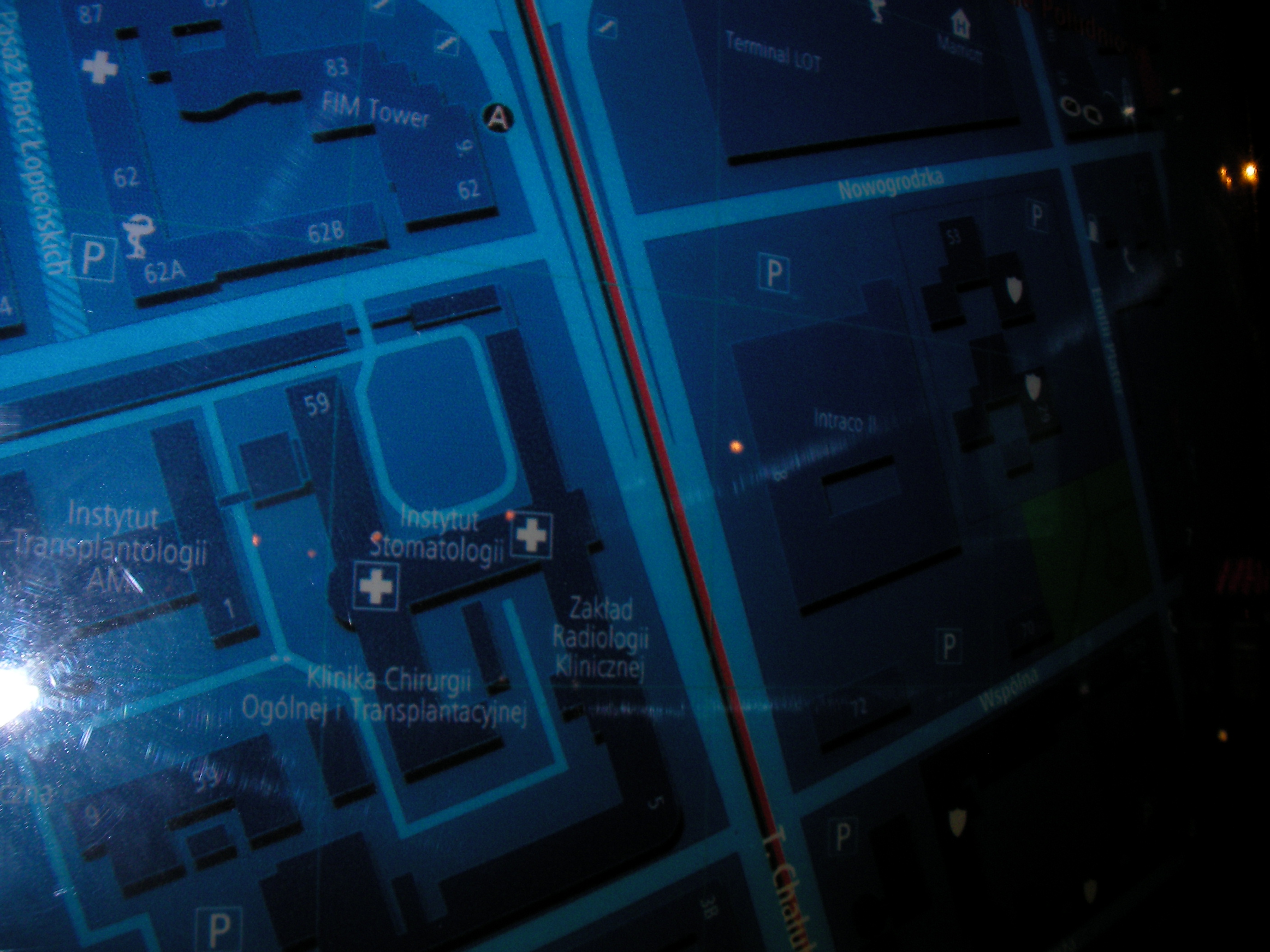
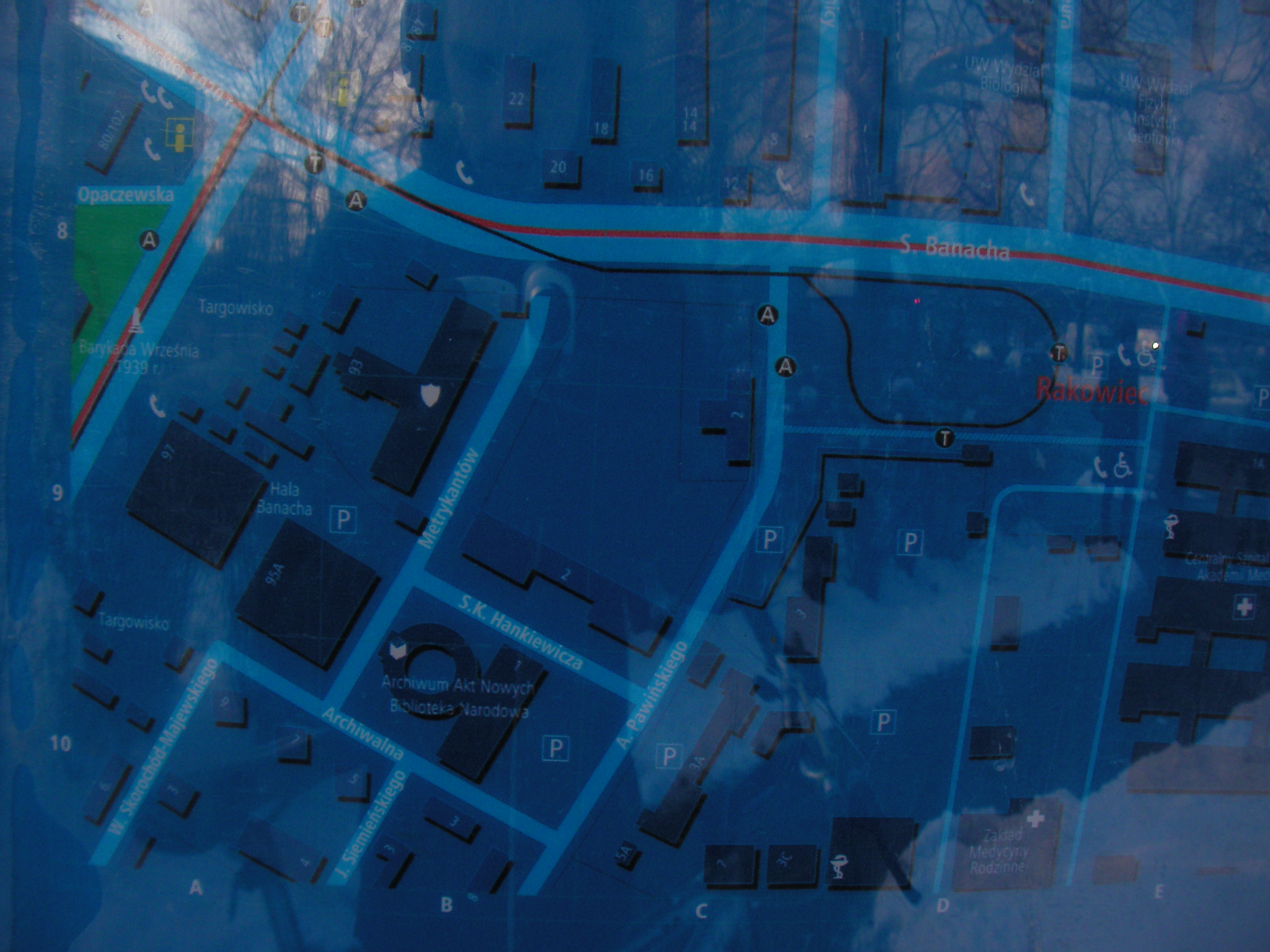
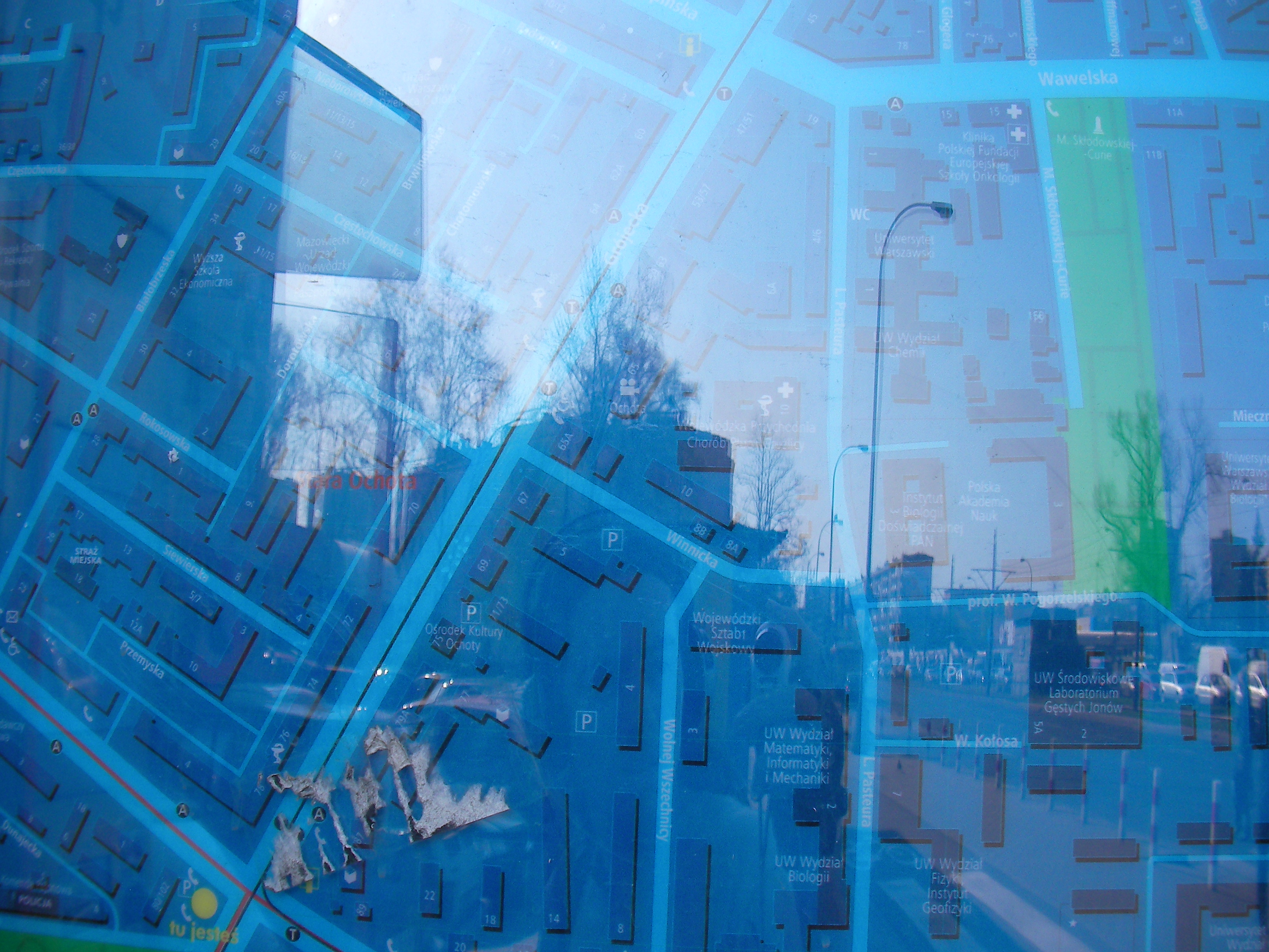
Hala Banacha
Crossing of Stefana Banacha & Grójecka streets. Approximate location.
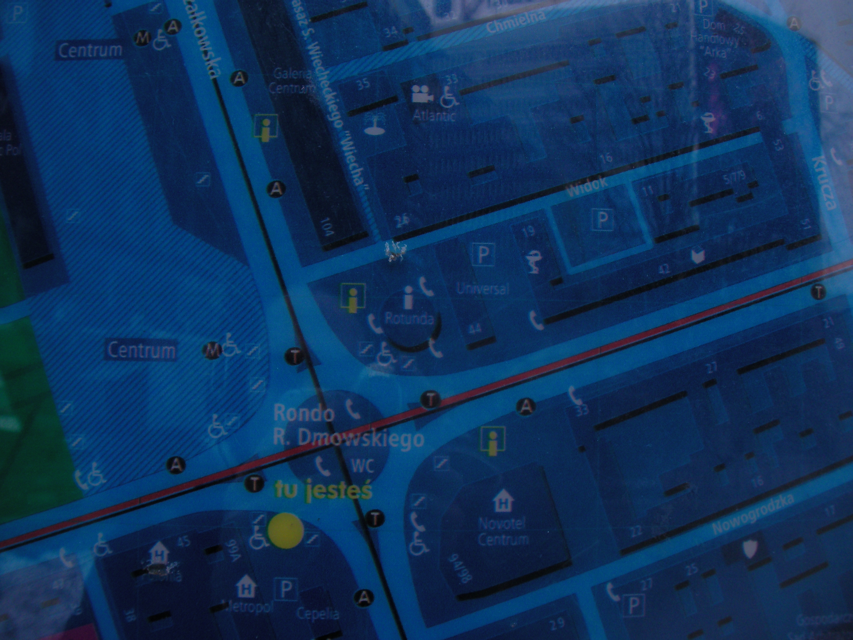
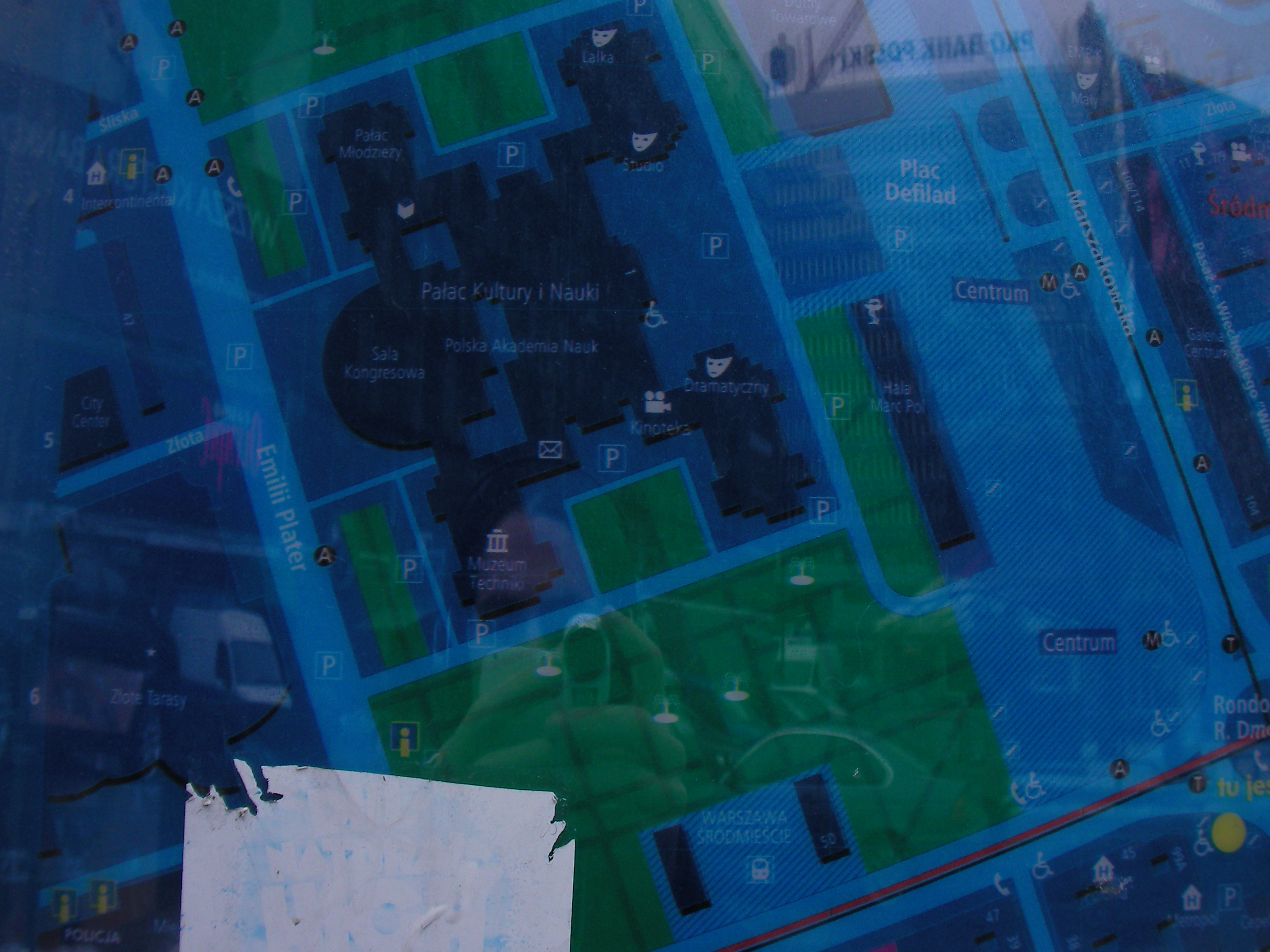
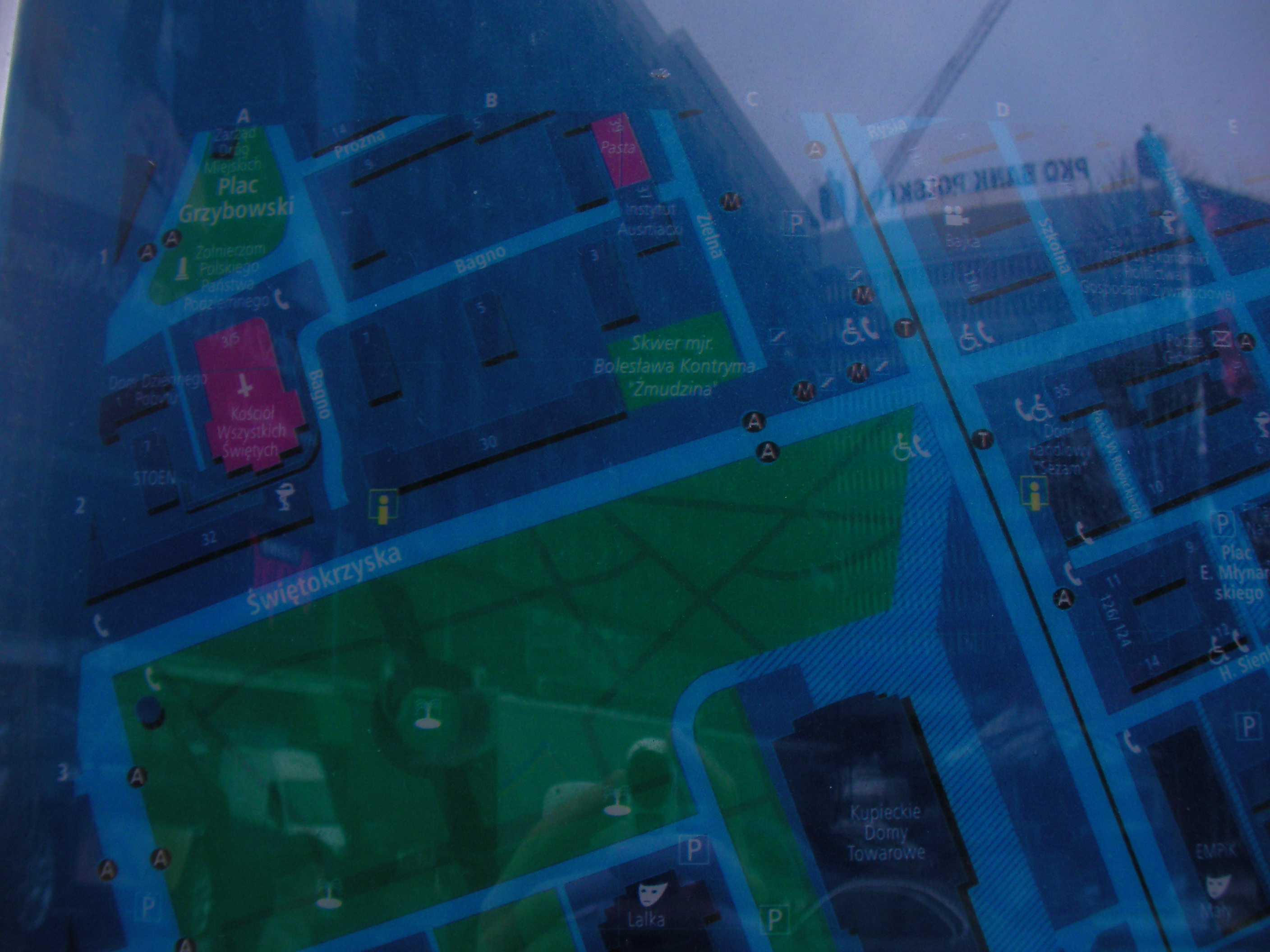
Metro Centrum
Rondo Romana Dmowskiego roundabout, by the subway entrance. Approximate location.
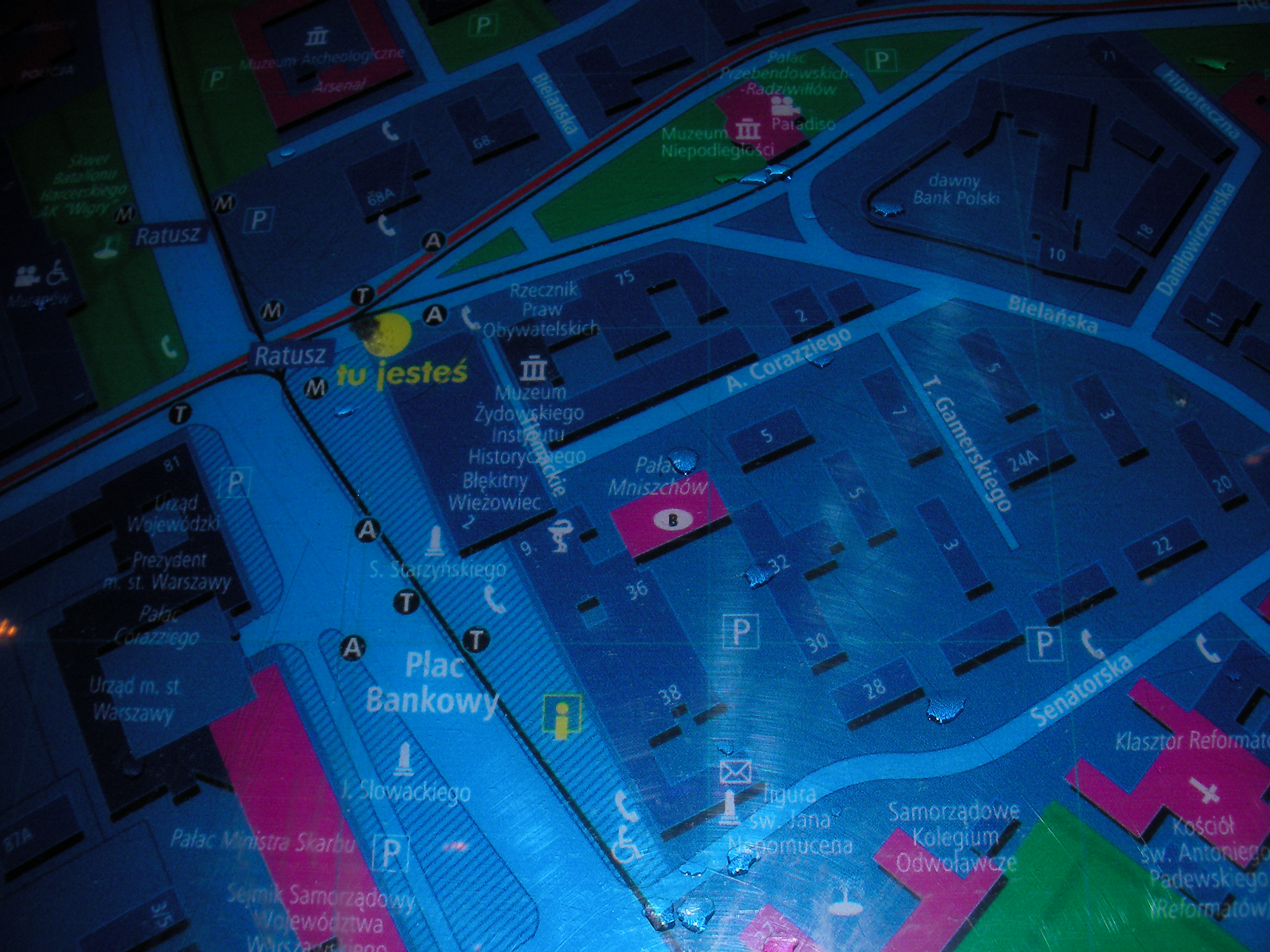
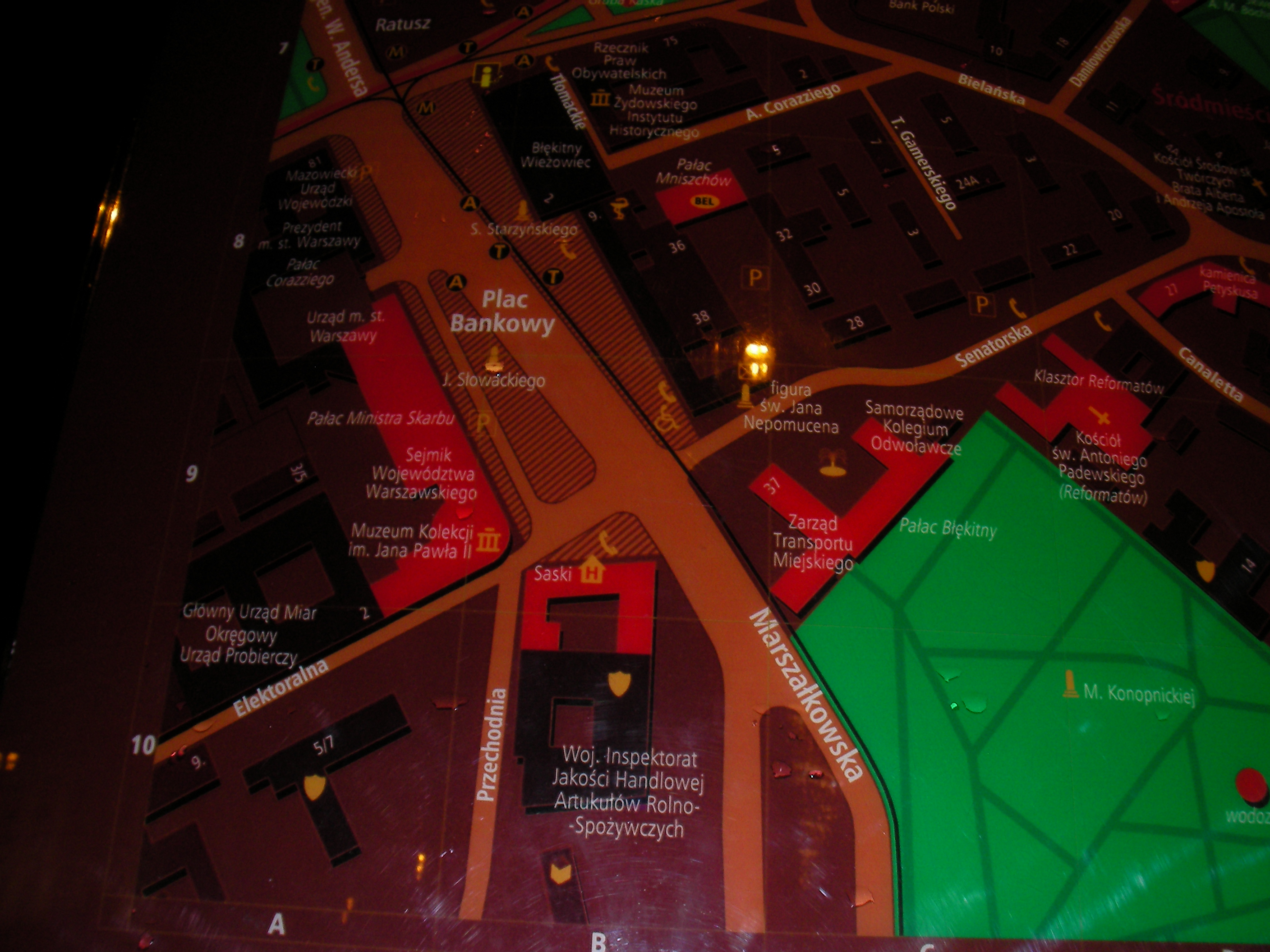
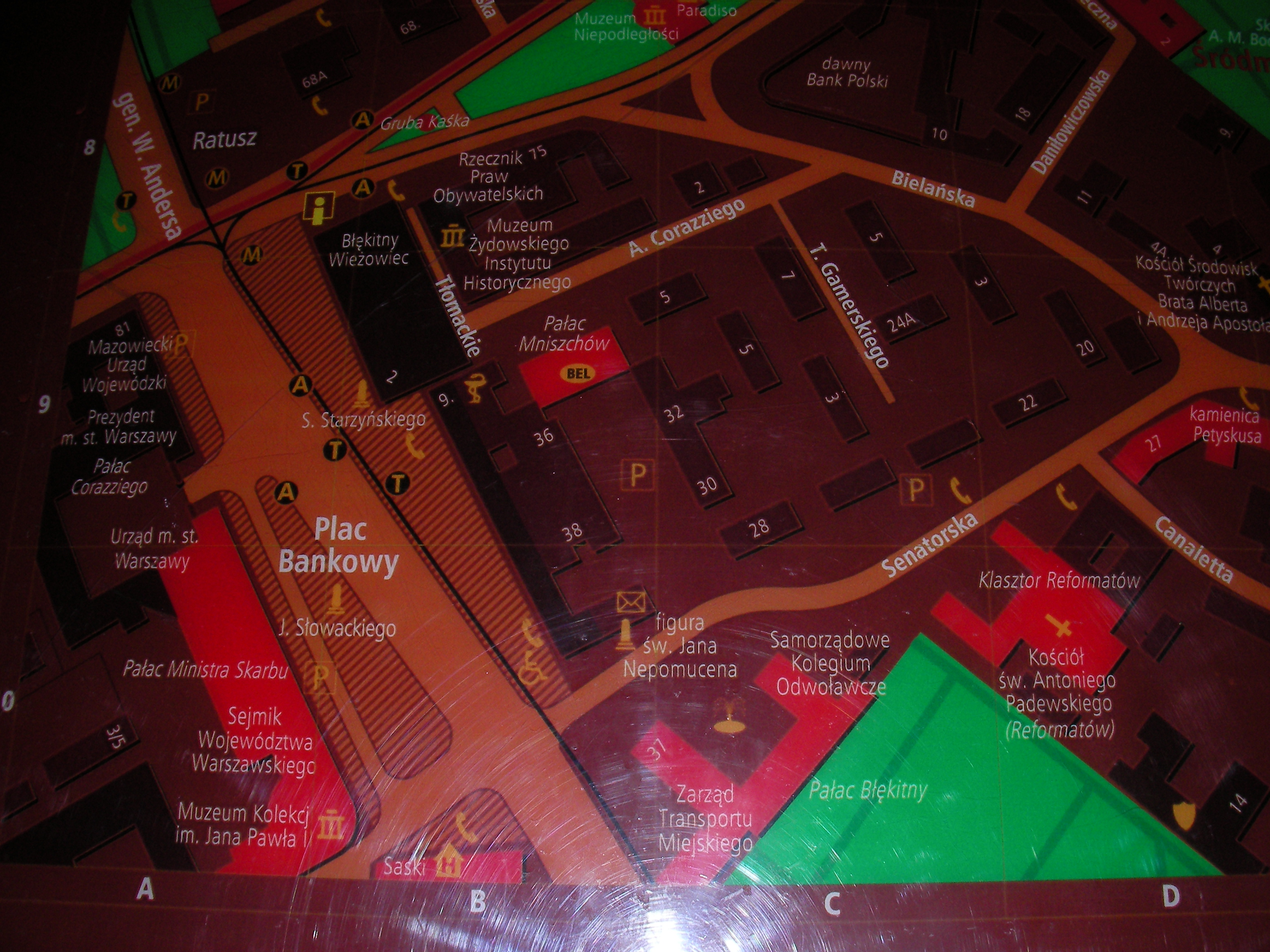
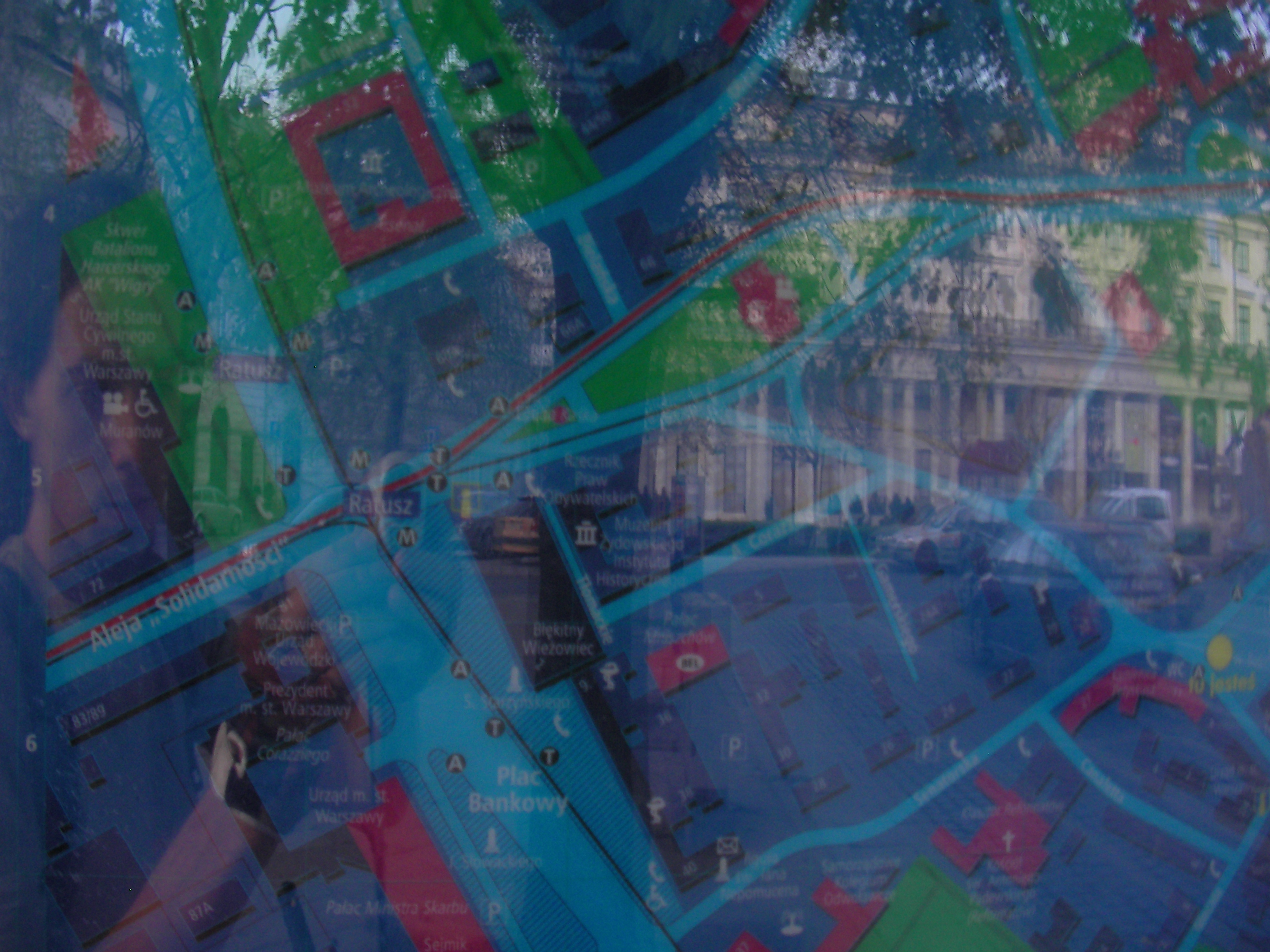
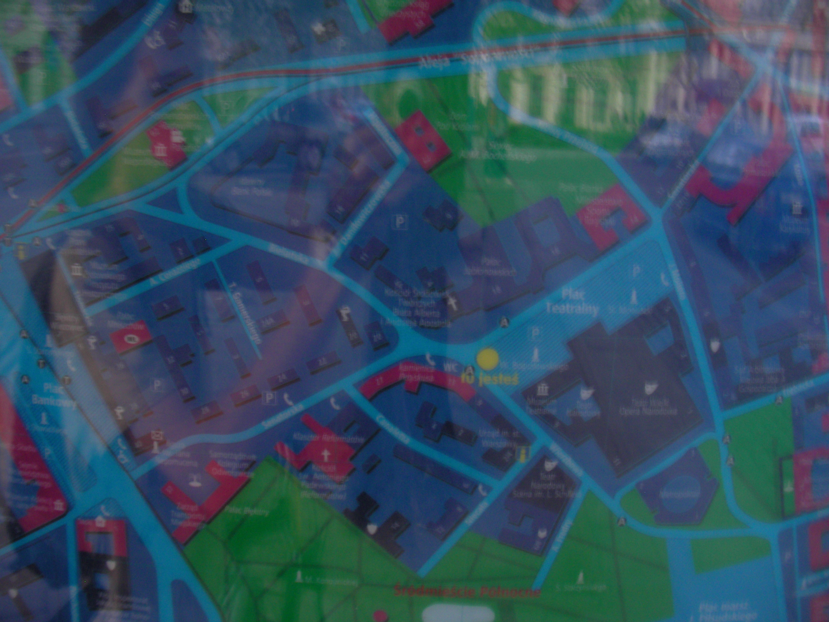
Plac Bankowy
Next to bus stop Plac Bankowy 05. Approximate location.
- Very poor night pics. Bottom-left, Middle, Middle, Right, Right, Bottom-left, Top-left, Right, Bottom-right.
- A different set. Bottom-left, Left, Left, Top-left, Top, Middle, Bottom, Bottom-right, Right.
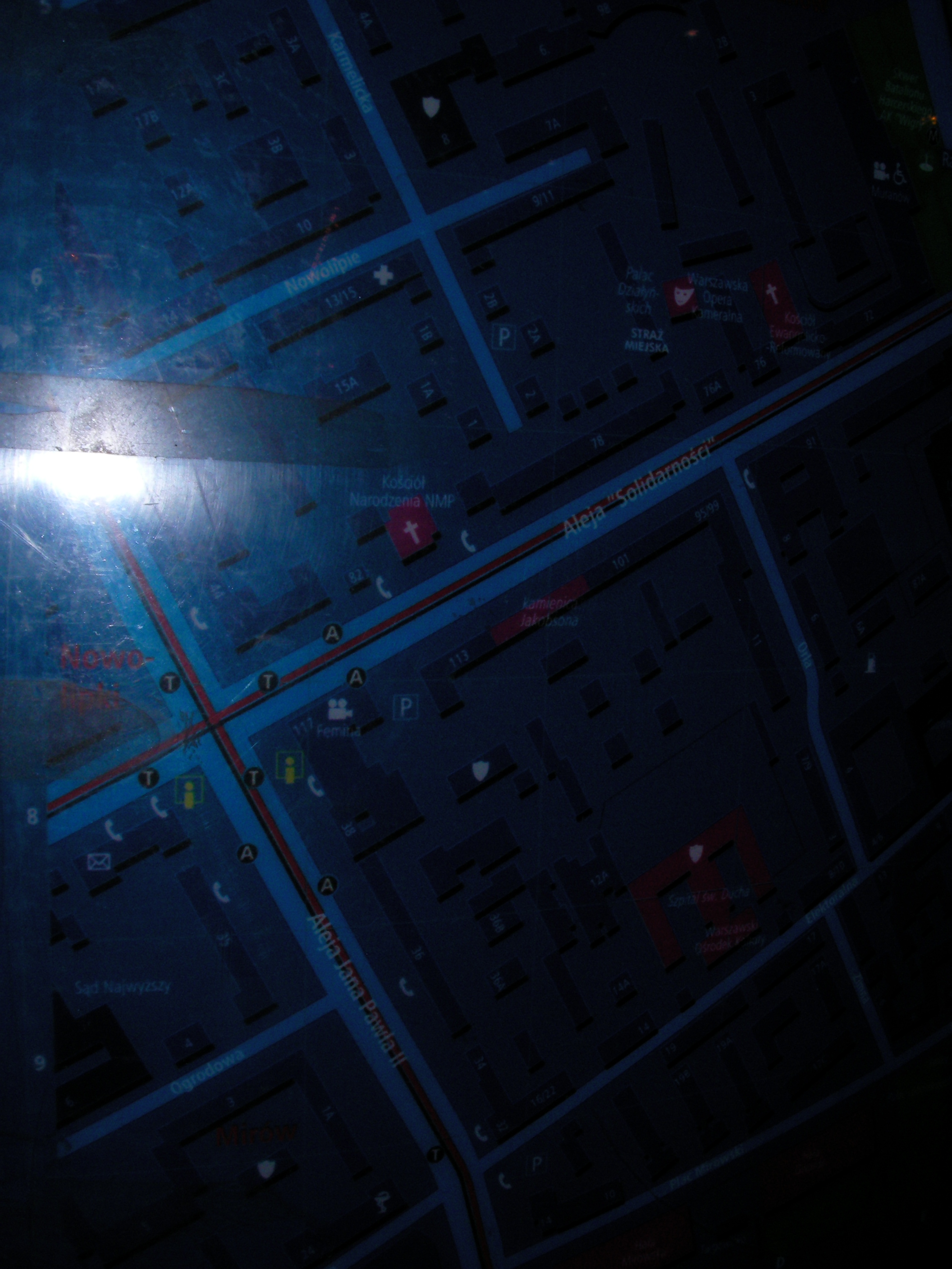
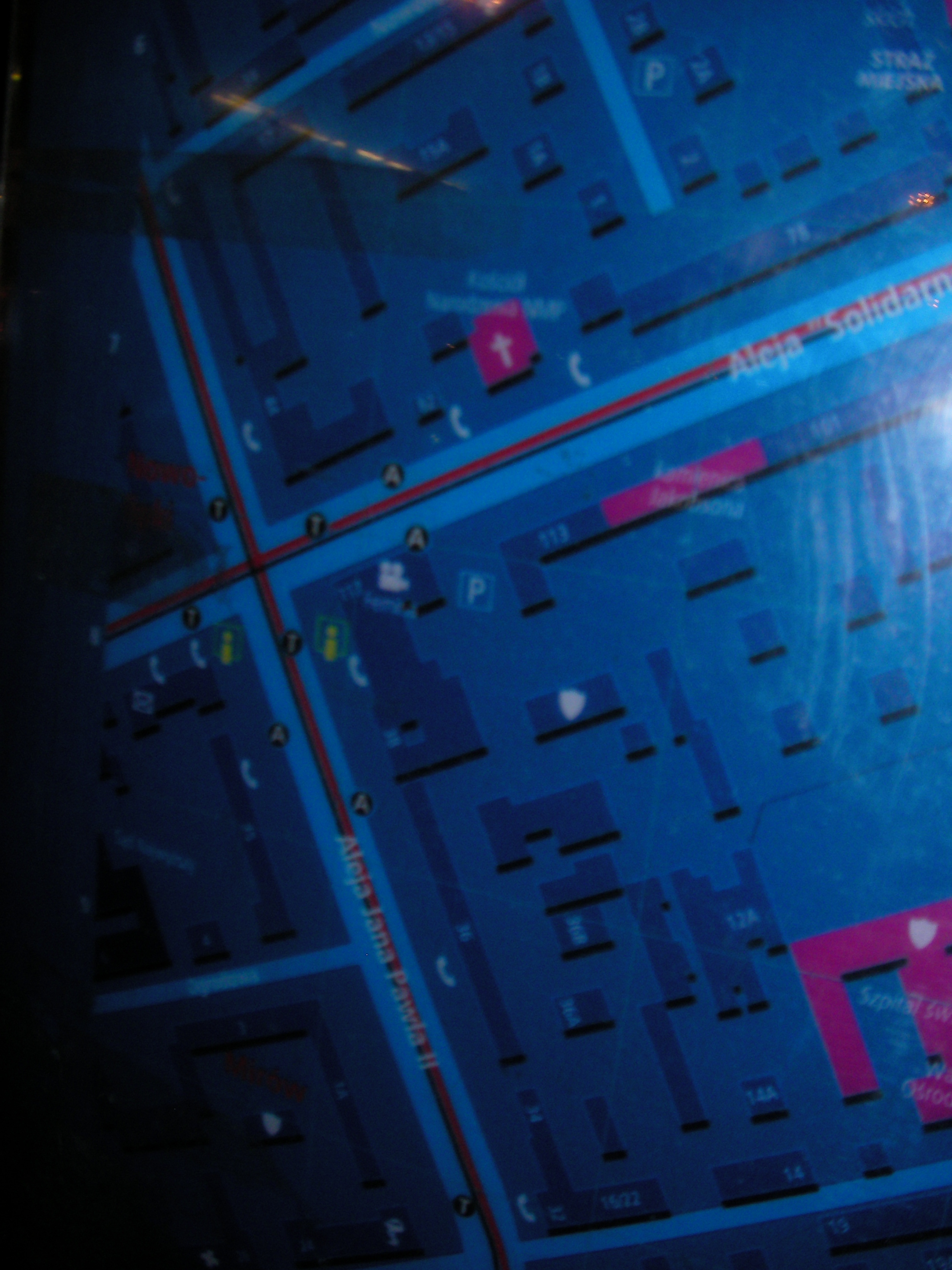
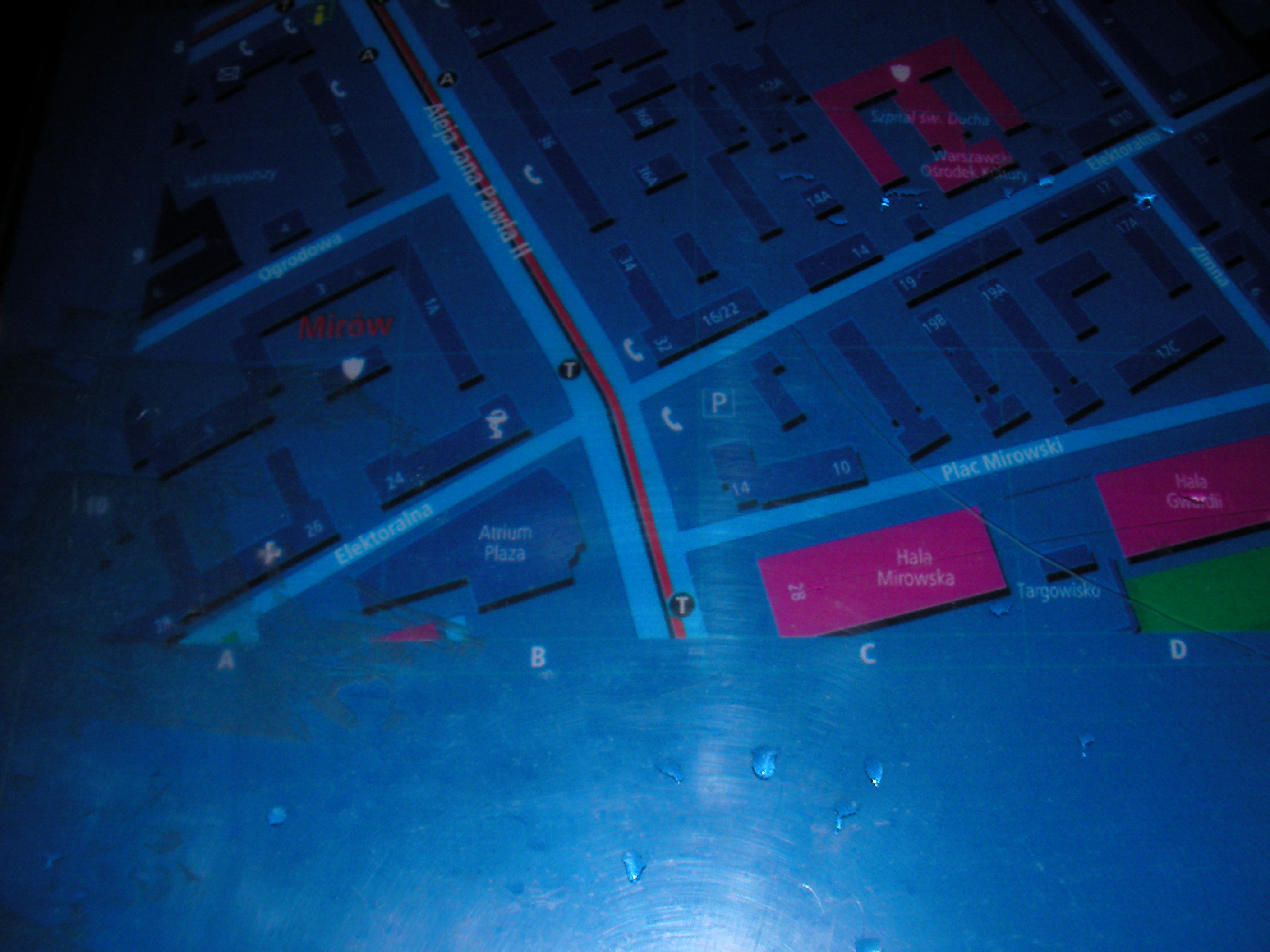
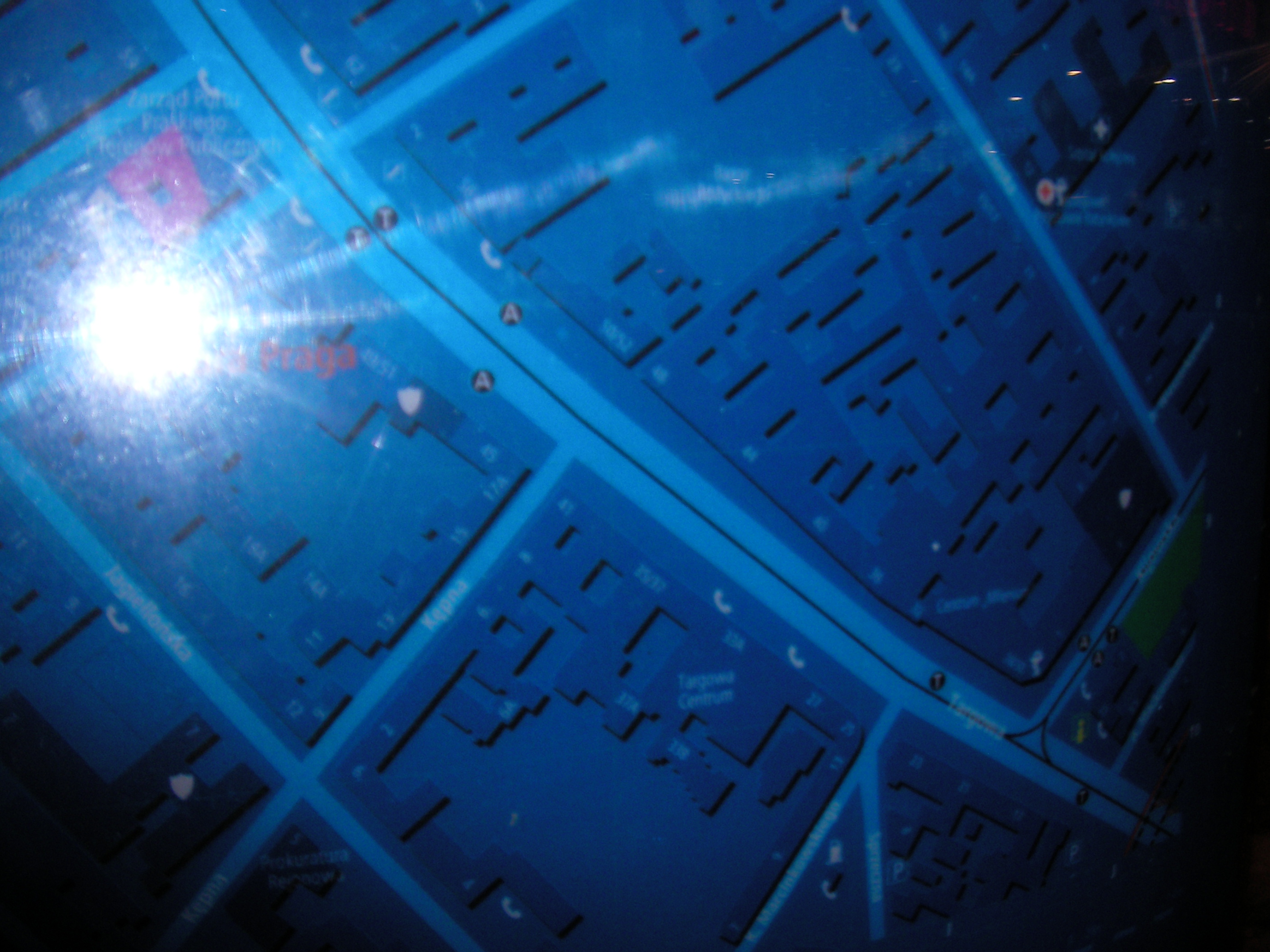
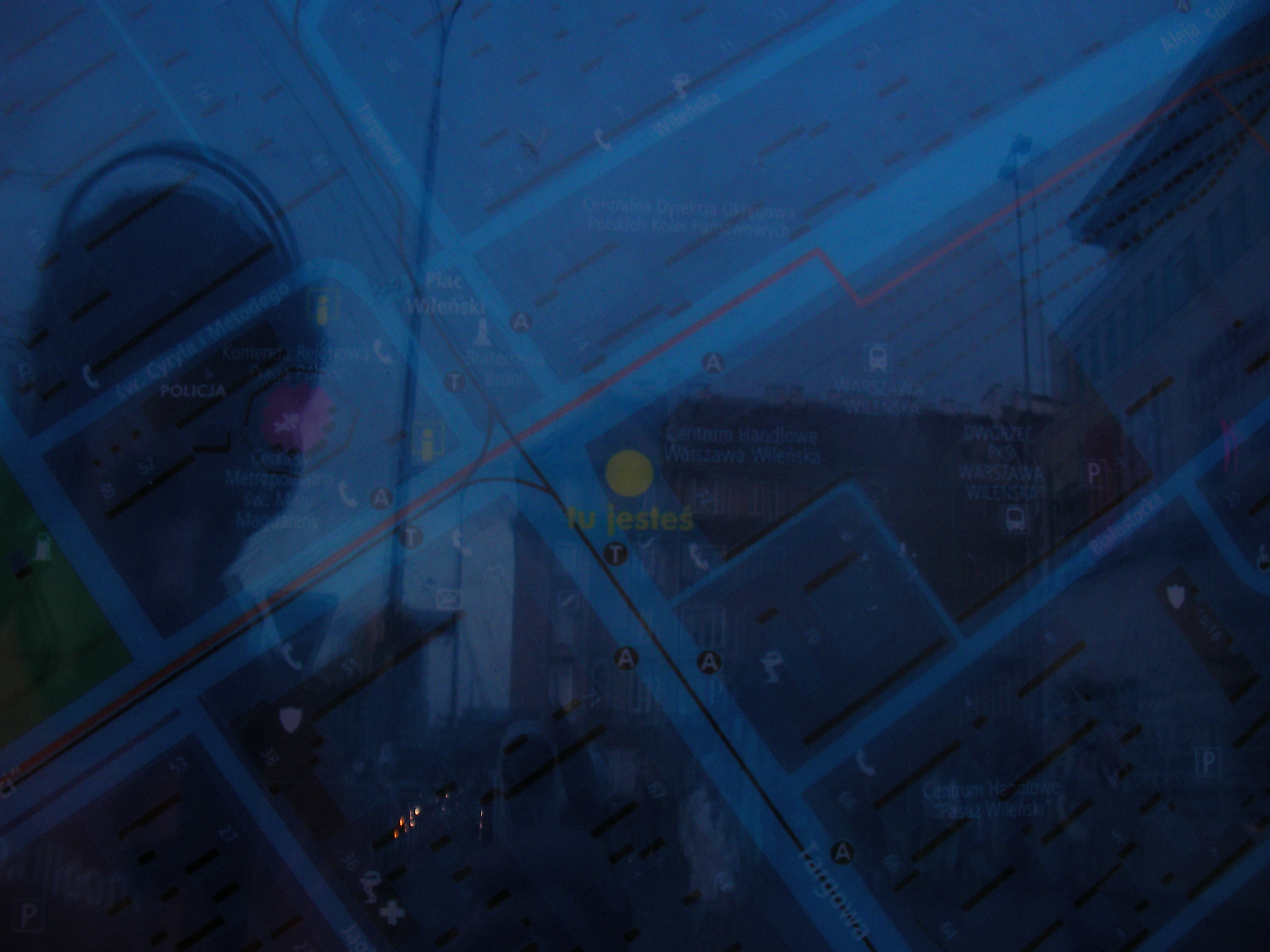
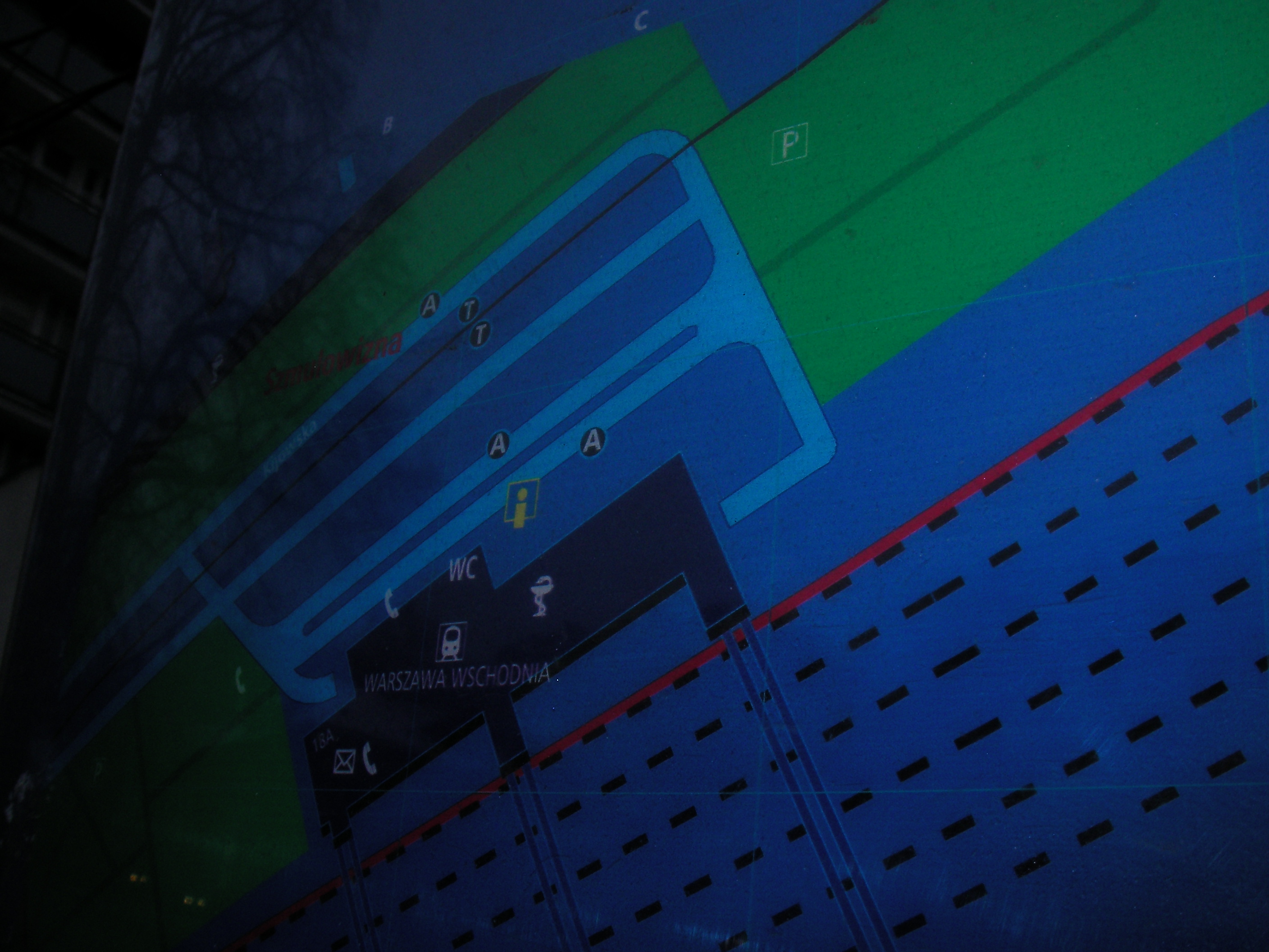
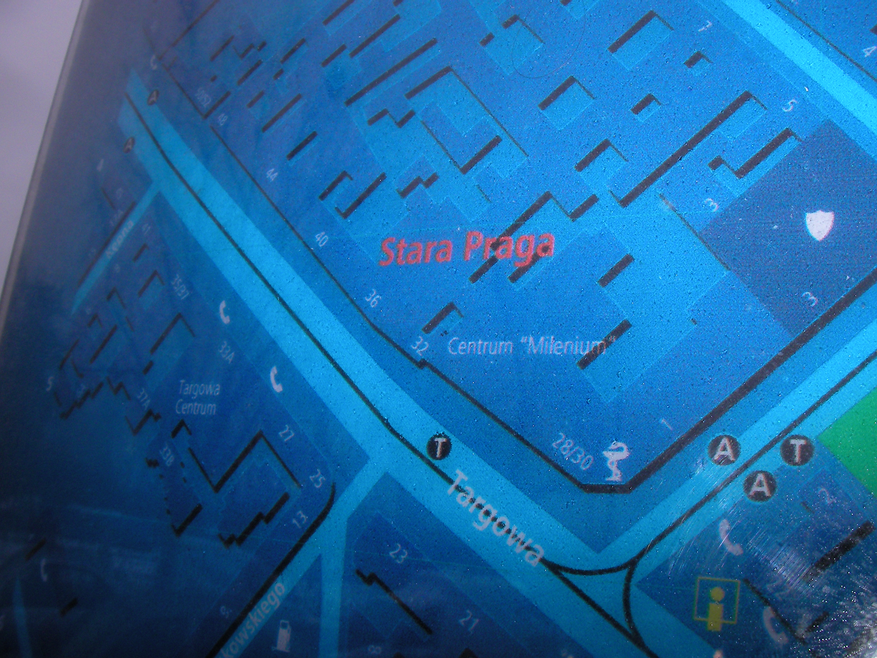
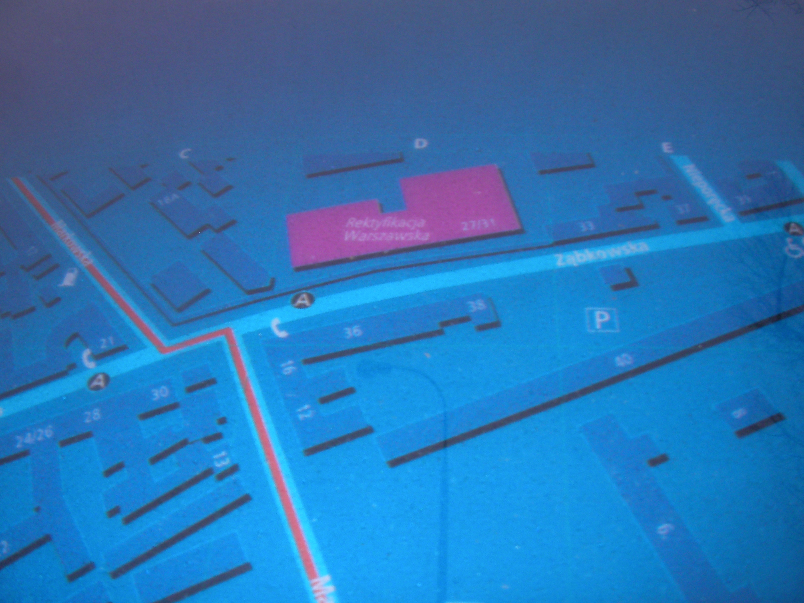
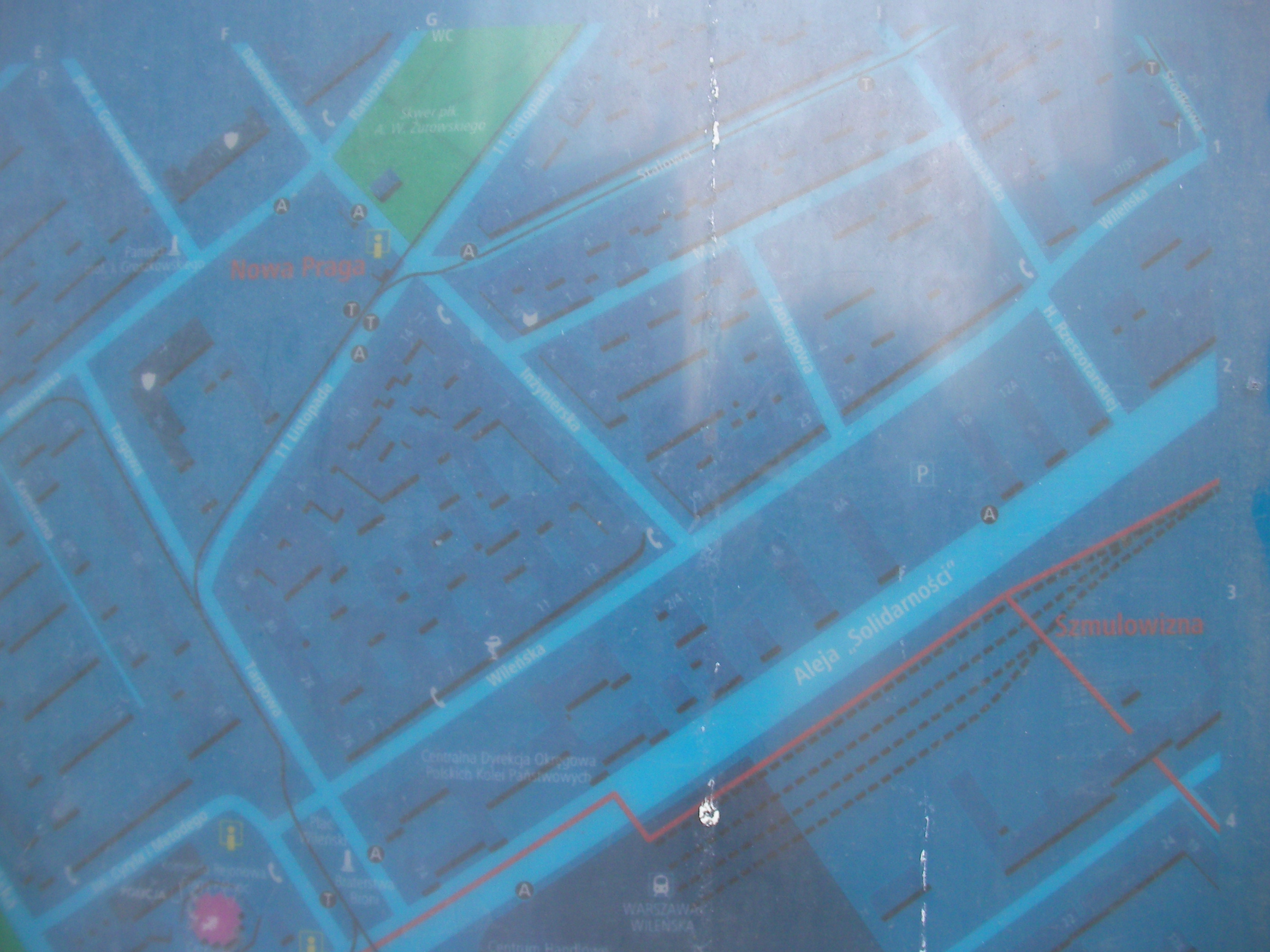
Warszawa Wileńska
Crossing of Targowa & Aleja Solidarności streets. Approximate location.
- Very poor night pics. Top-left, Top-left, Bottom-left, Top-right, Top-middle, Bottom-right, Bottom-left, Bottom-left, Left, Right.
- Again overly dark pictures. Top-right, Top, Top-left, Left, Middle, Right, Bottom-right, Bottom-left.
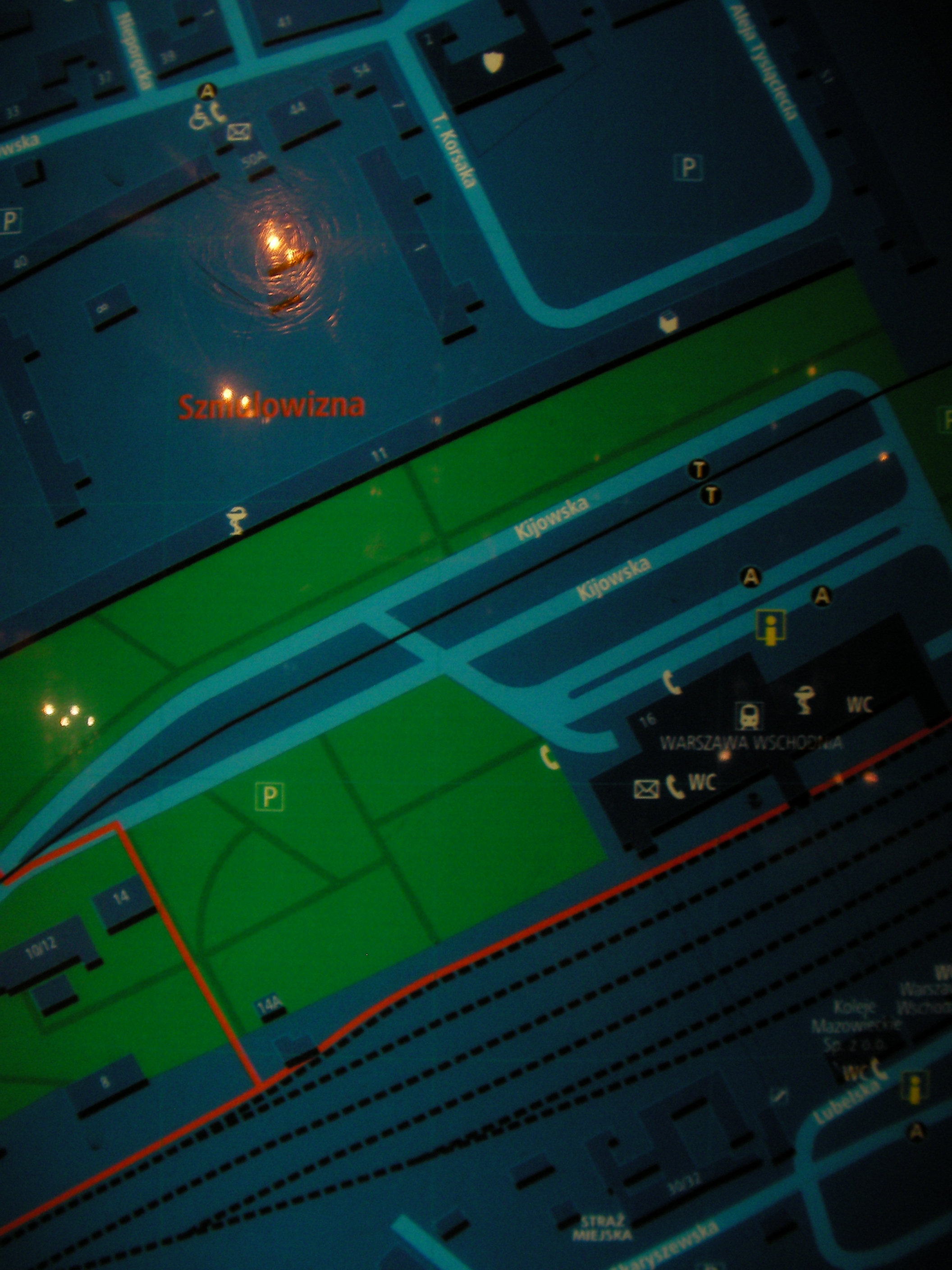
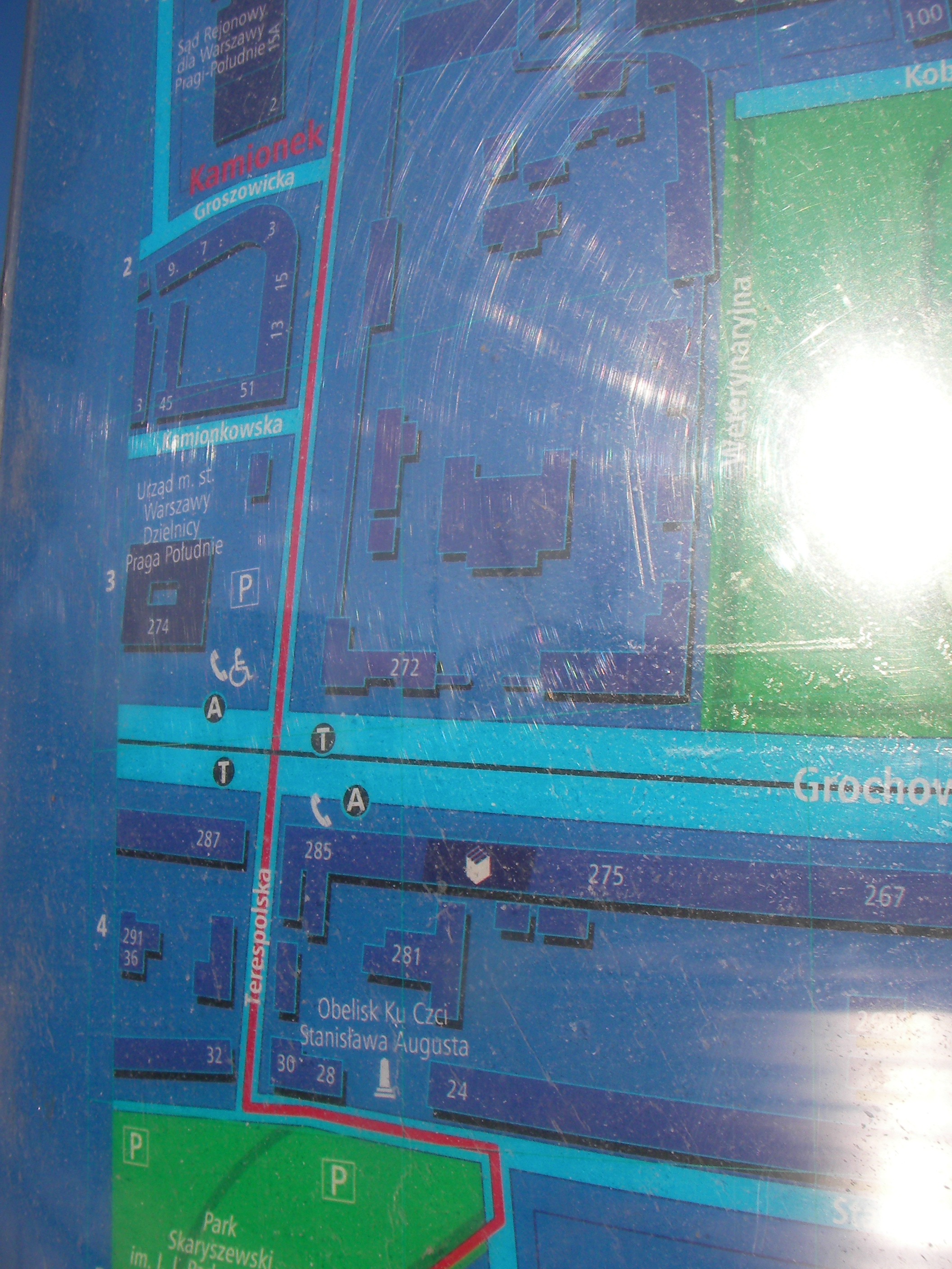
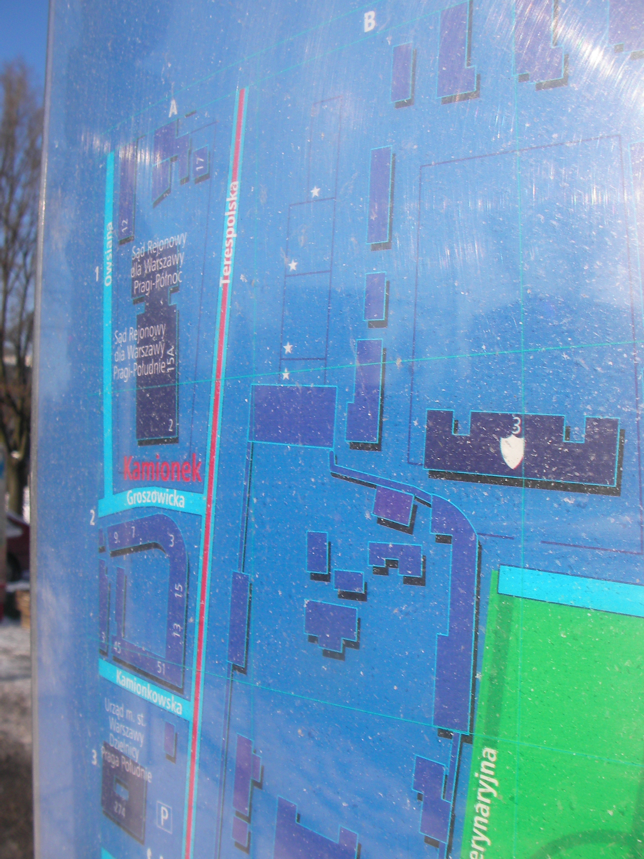
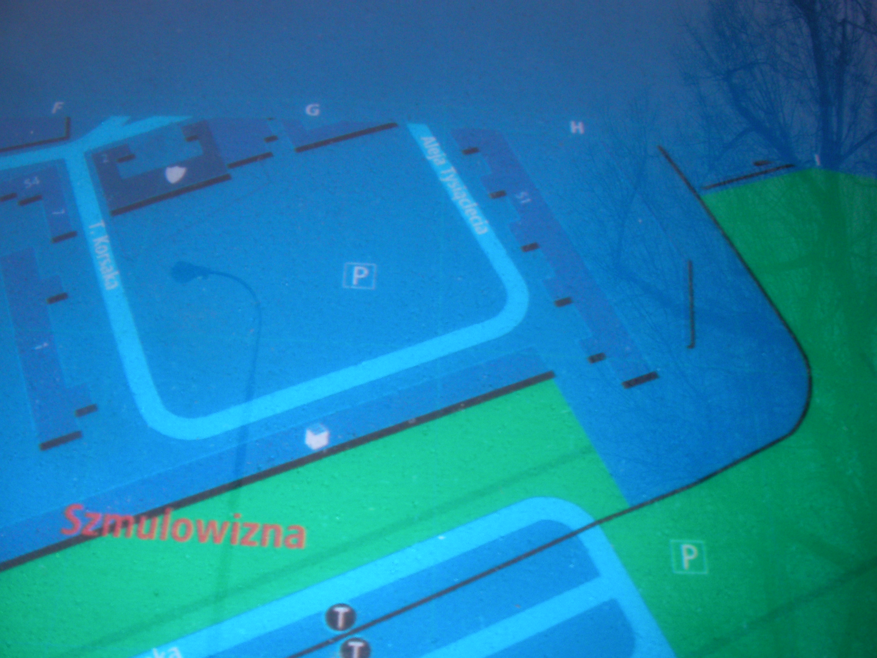
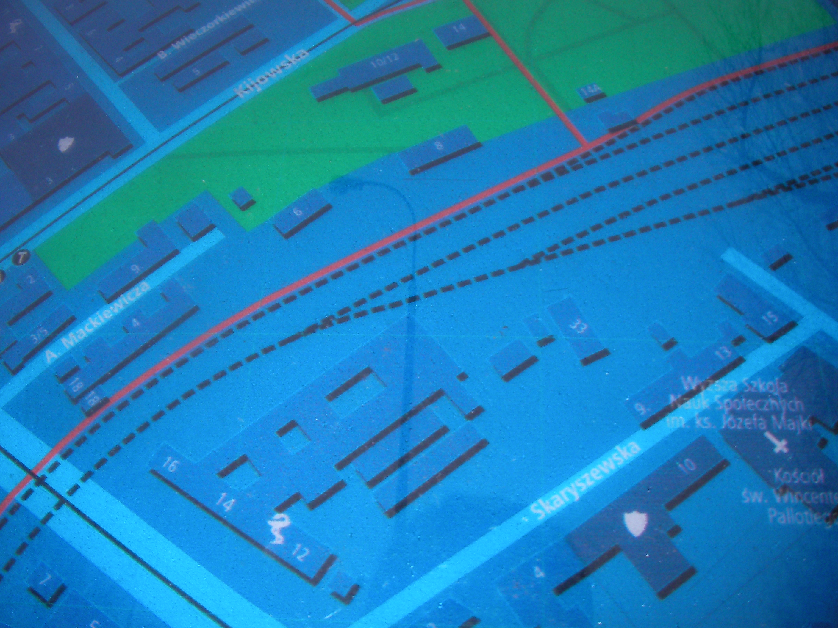
Kijowska
South end of Kijowska, crossing with Targowa street. Approximate location.
- Very poor night pics. Left, Top-left, Bottom-left, Right, Top, Middle, Right, Middle, Middle, Top-right.
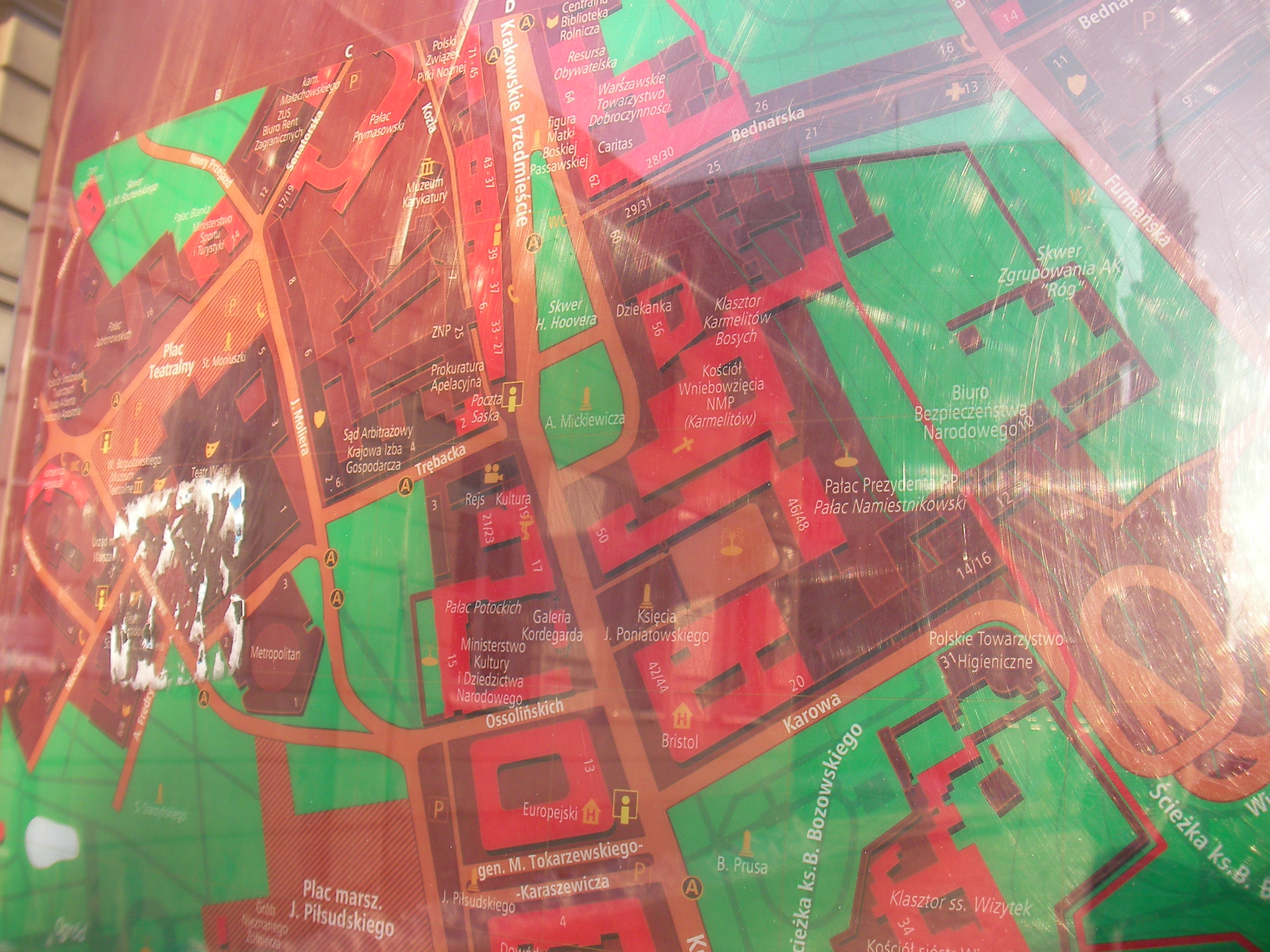
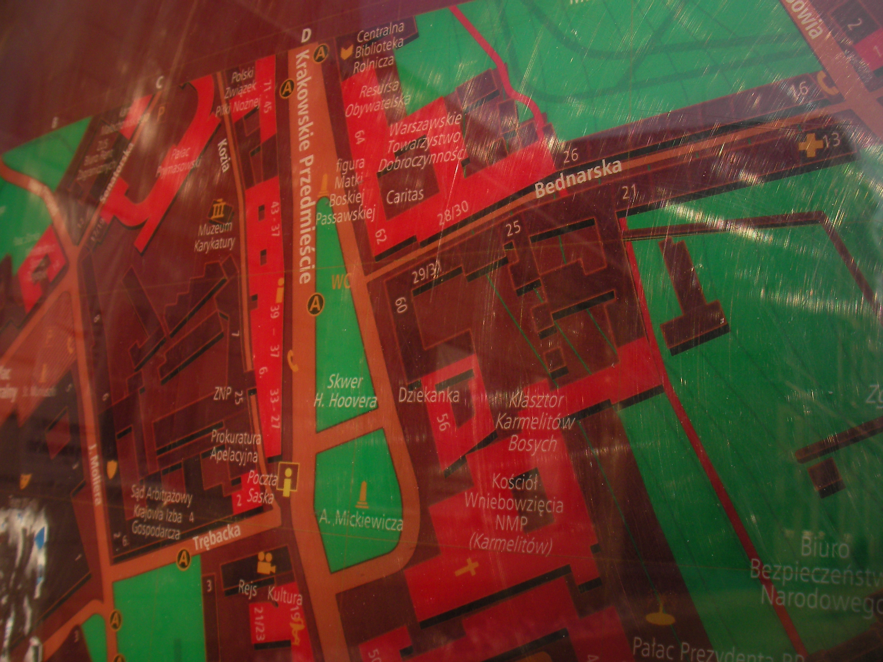
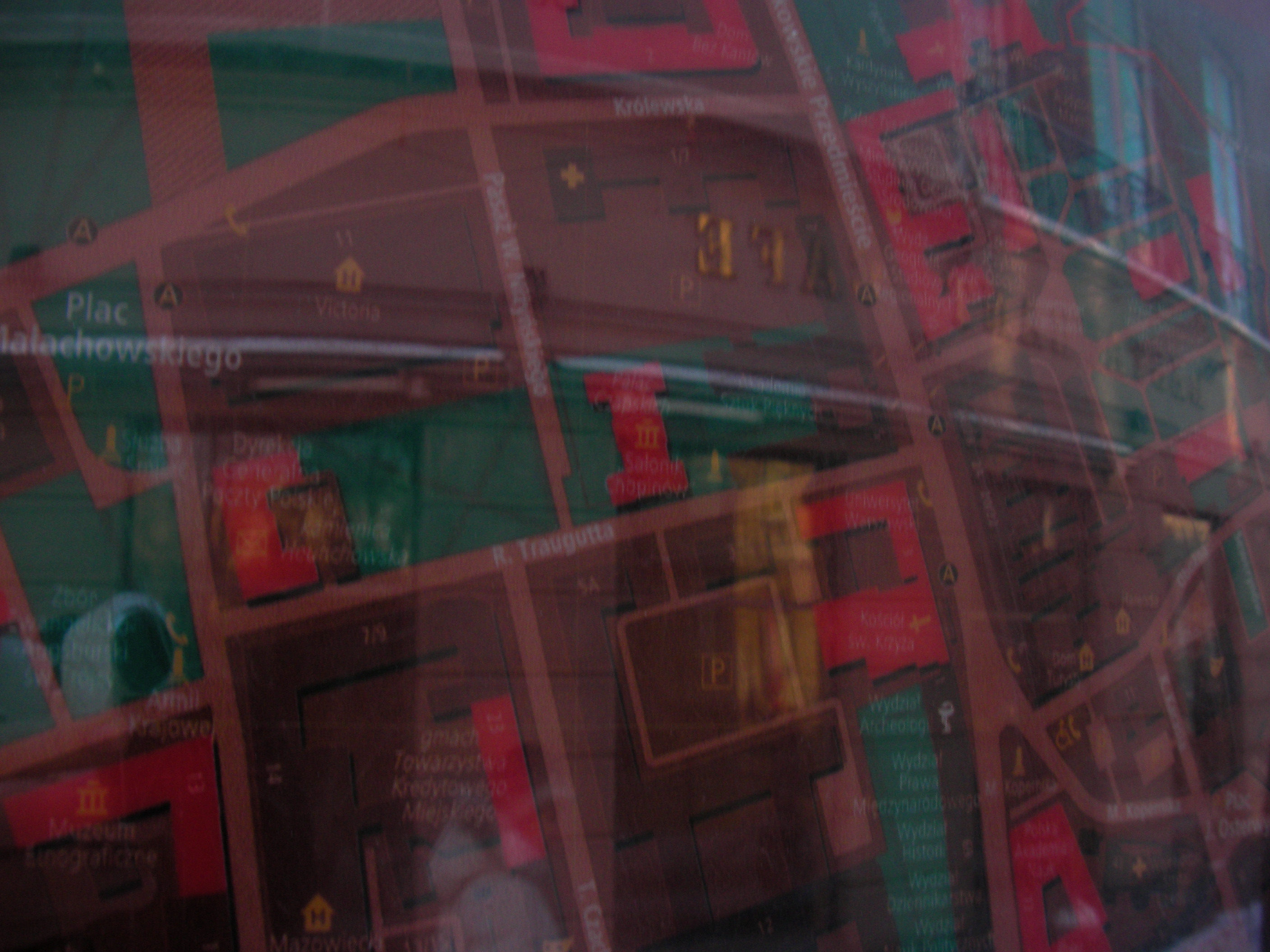
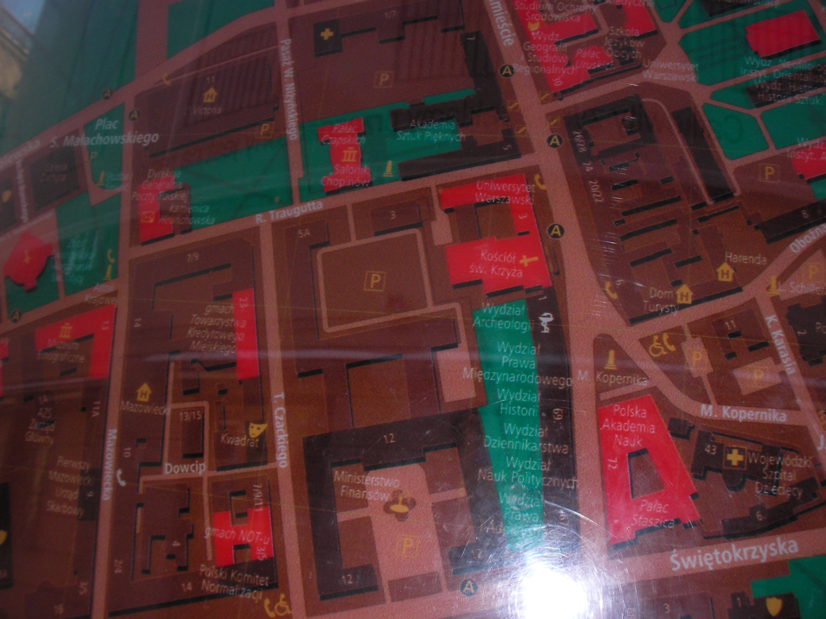
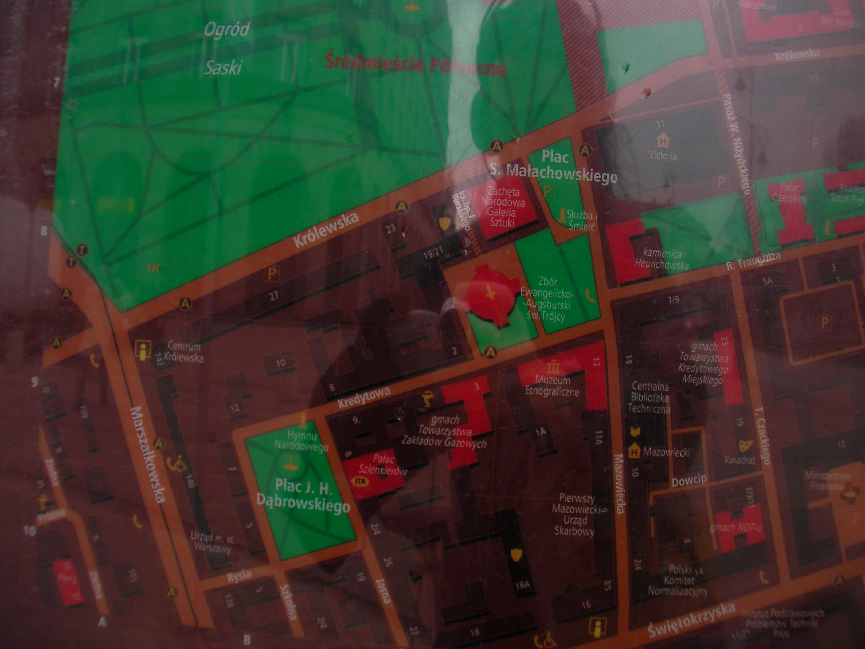
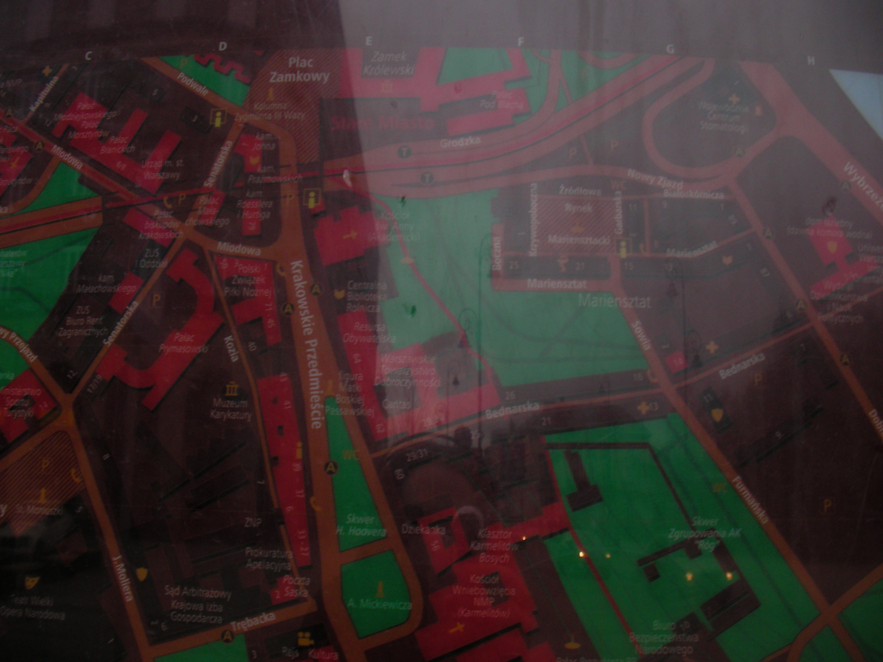
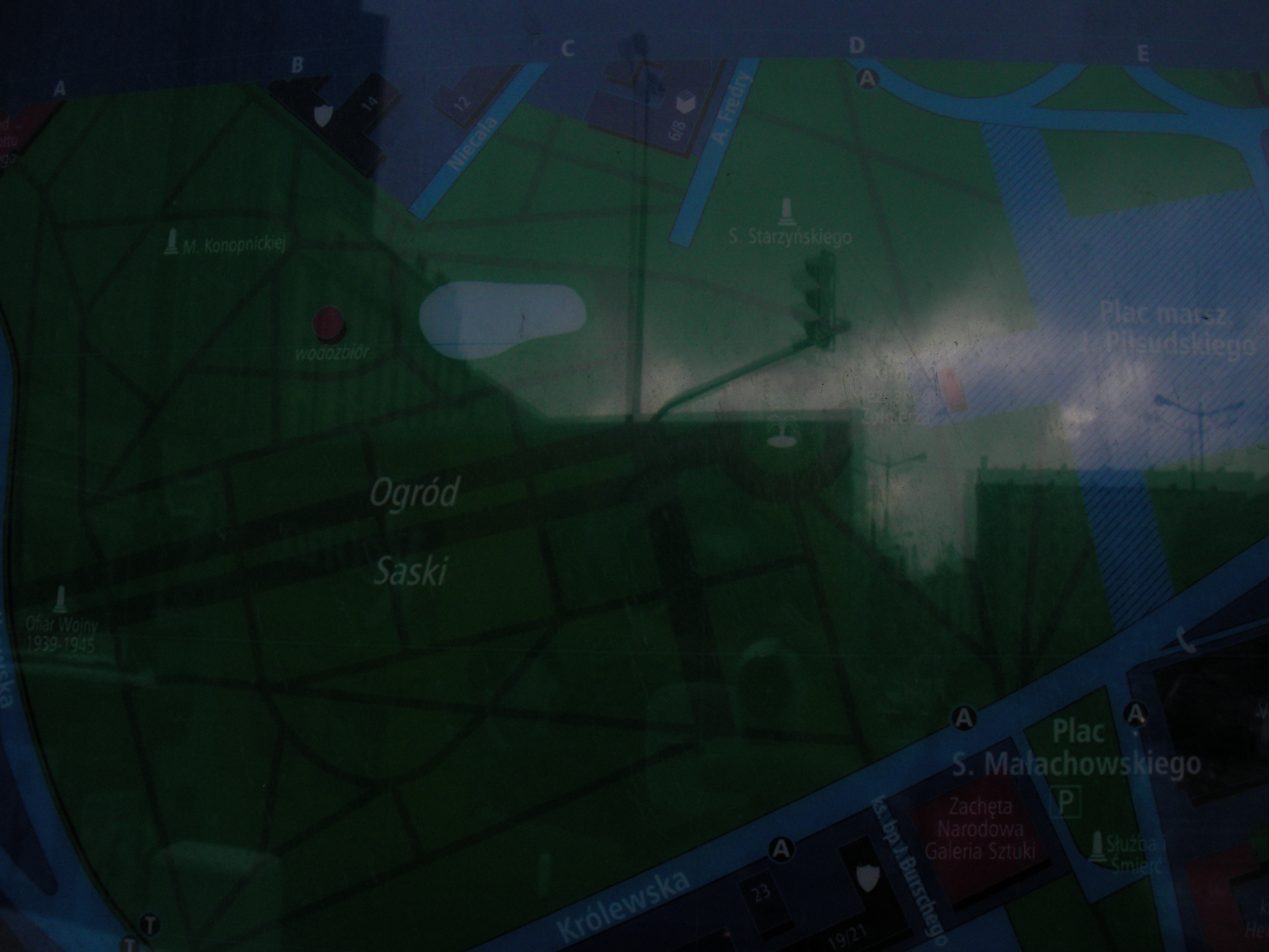
Krakowskie Przedmieście
In front of Akademia Sztuk Pięknych, near the bus-stop. Approximate location.
- Top half, Top-right, Bottom, Bottom-left, Bottom, Bottom-right, Bottom-left, Top, Top-right, Top-right, Top-middle.
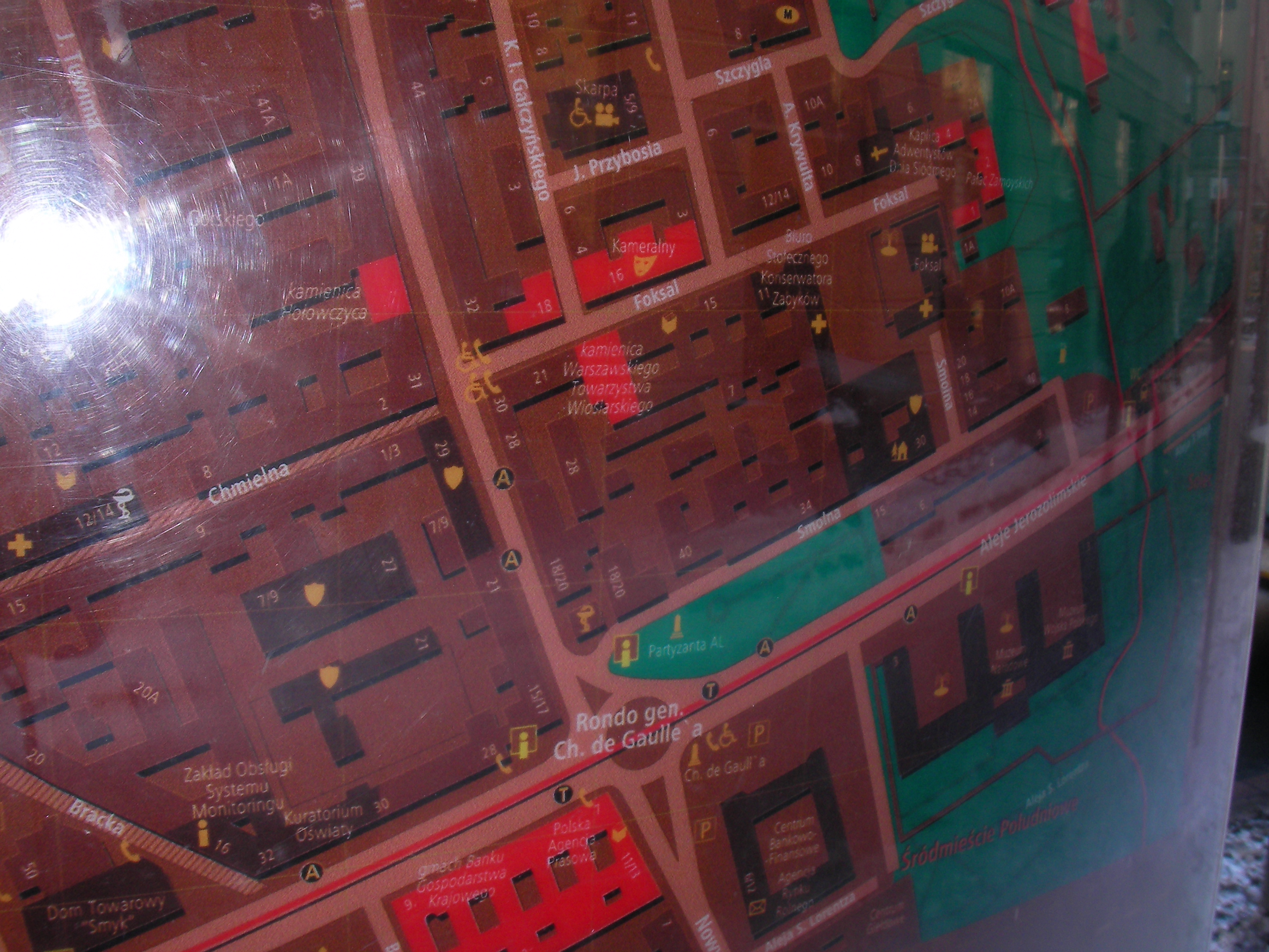
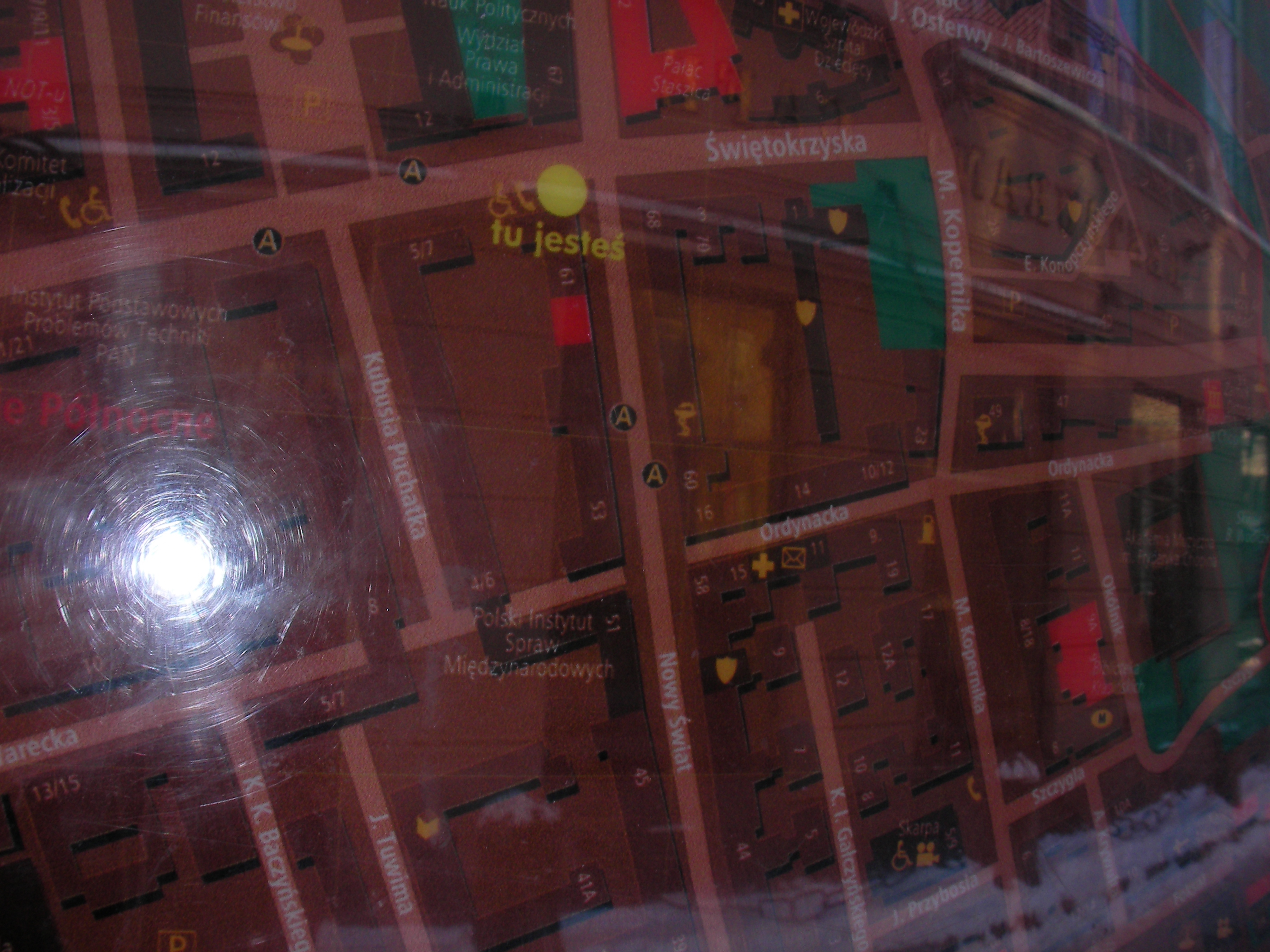
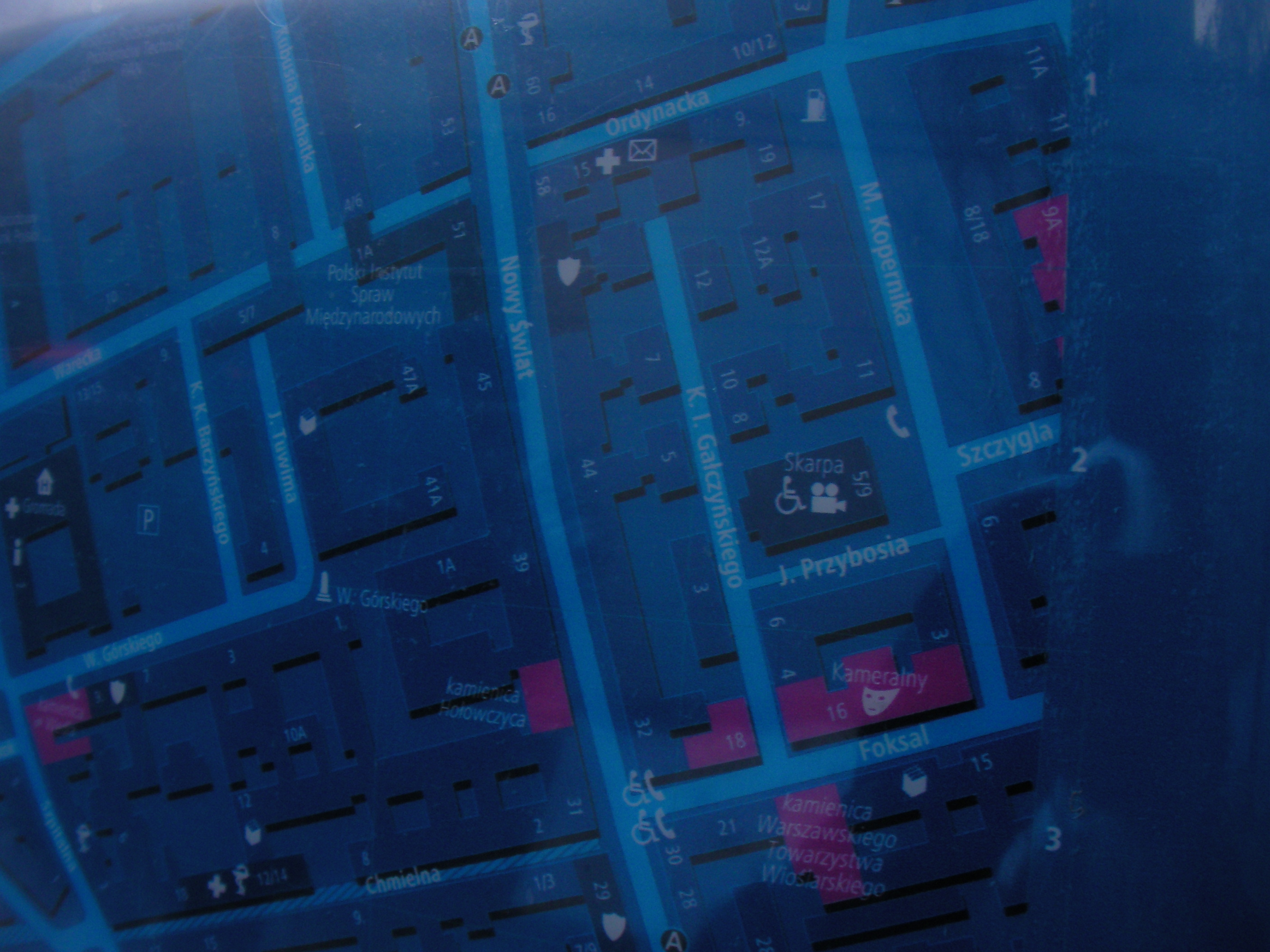
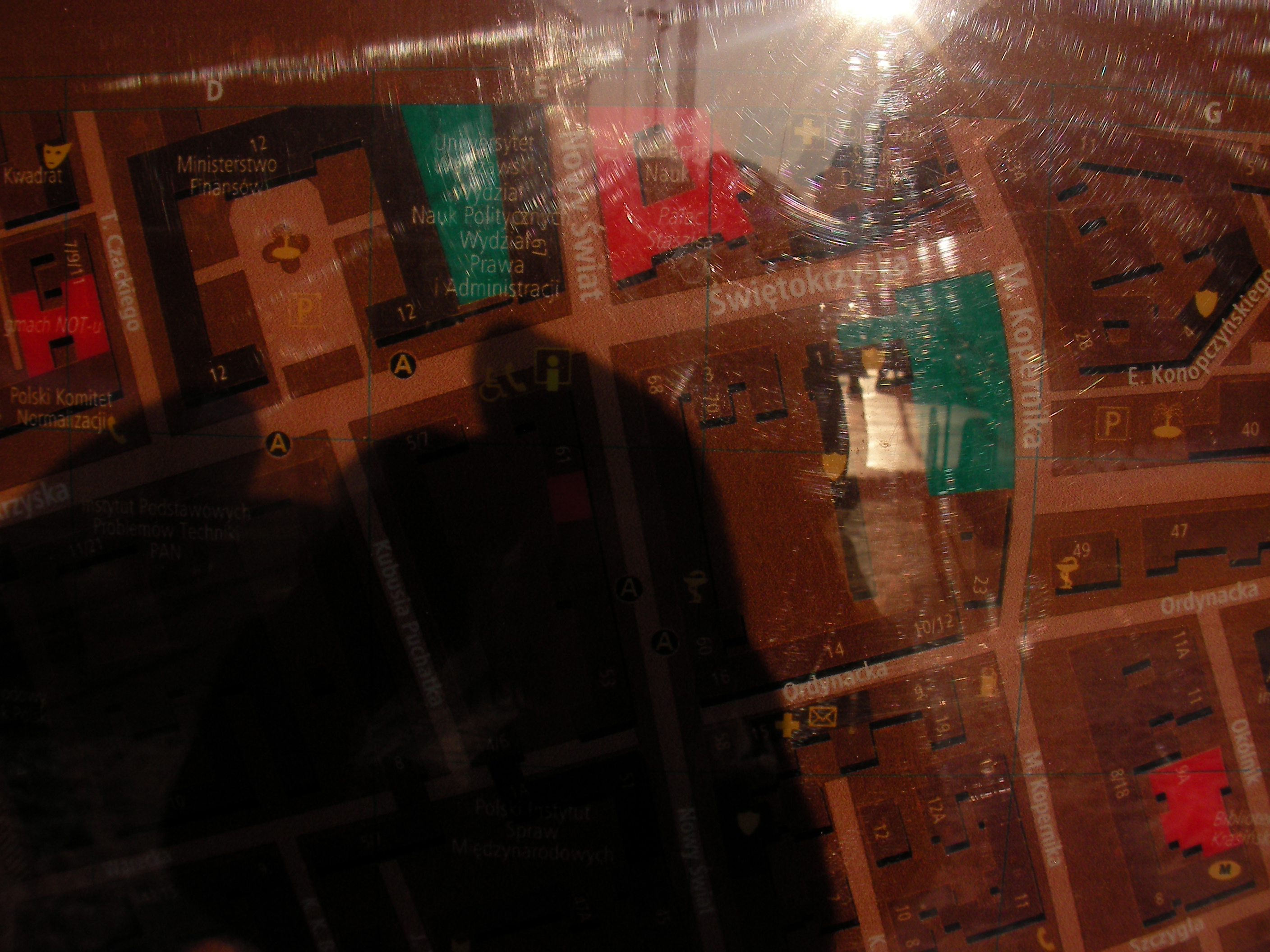
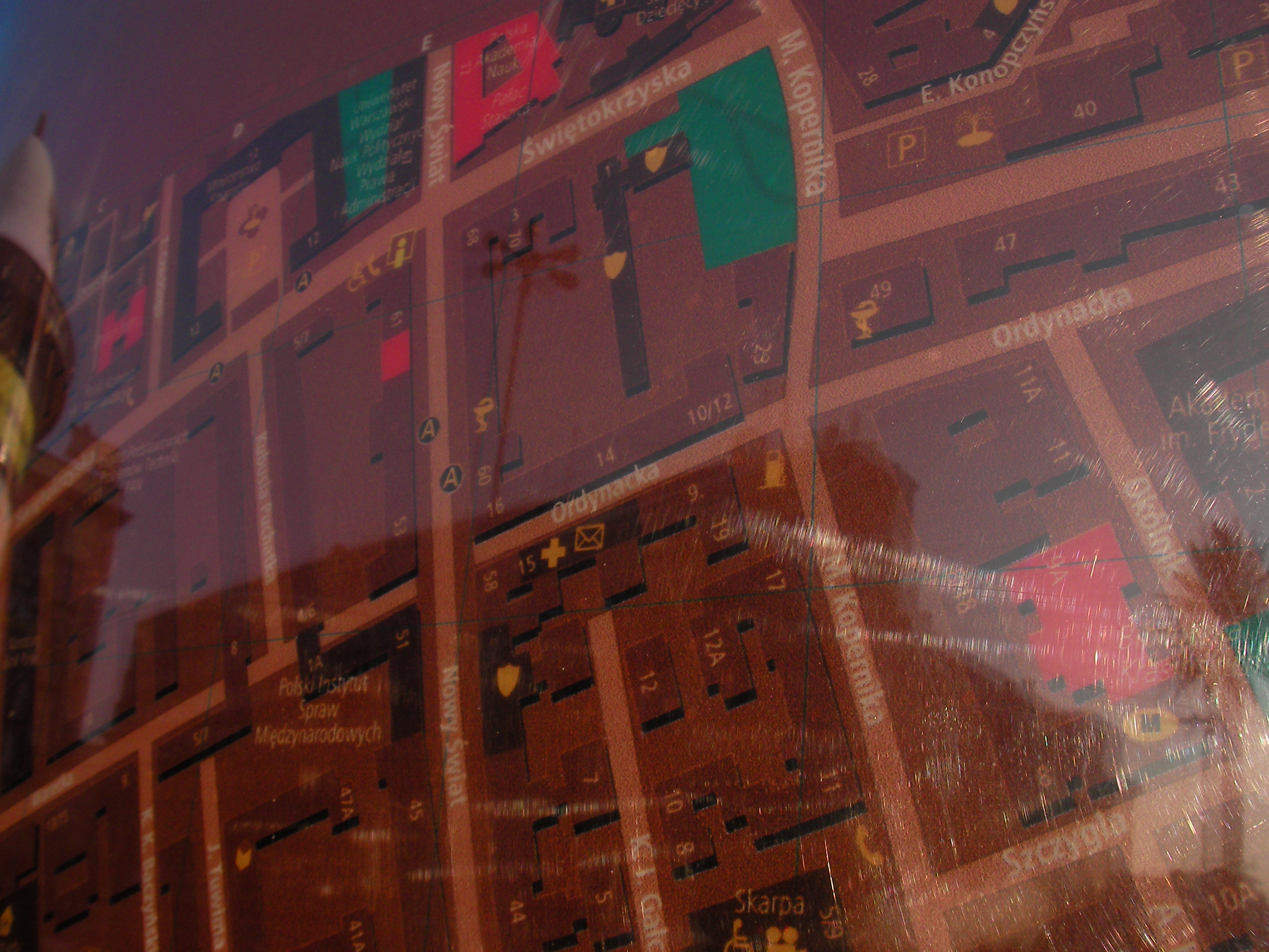
Nowy Świat
The crossing of Nowy Świat & Świętokrzyska streets. Approximate location.
- Bottom-left, Bottom-right, Top, Top, Middle, Bottom, Bottom-right, Bottom, Top, Right, Top, Bottom-left, Bottom, Middle, Top.
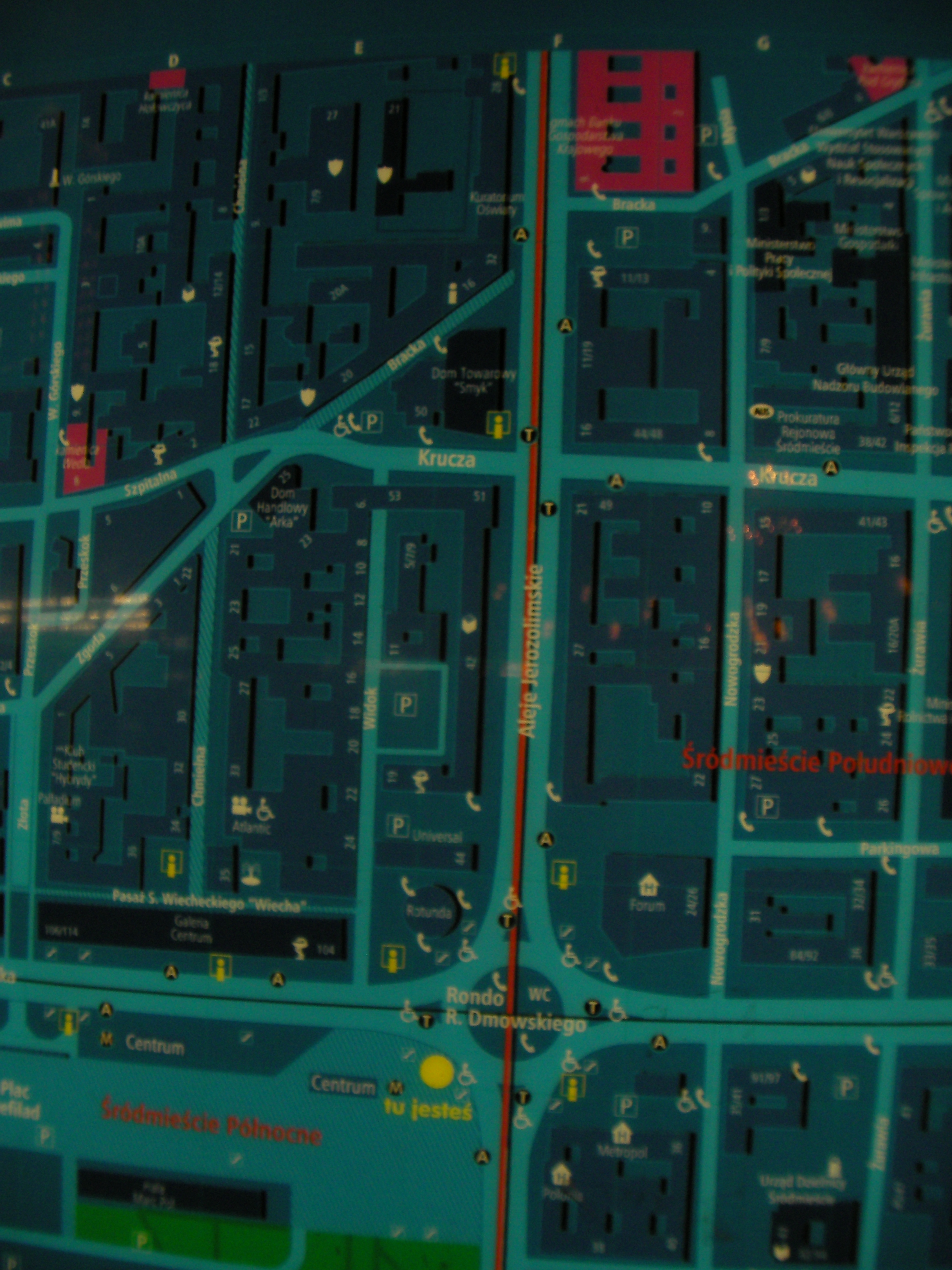
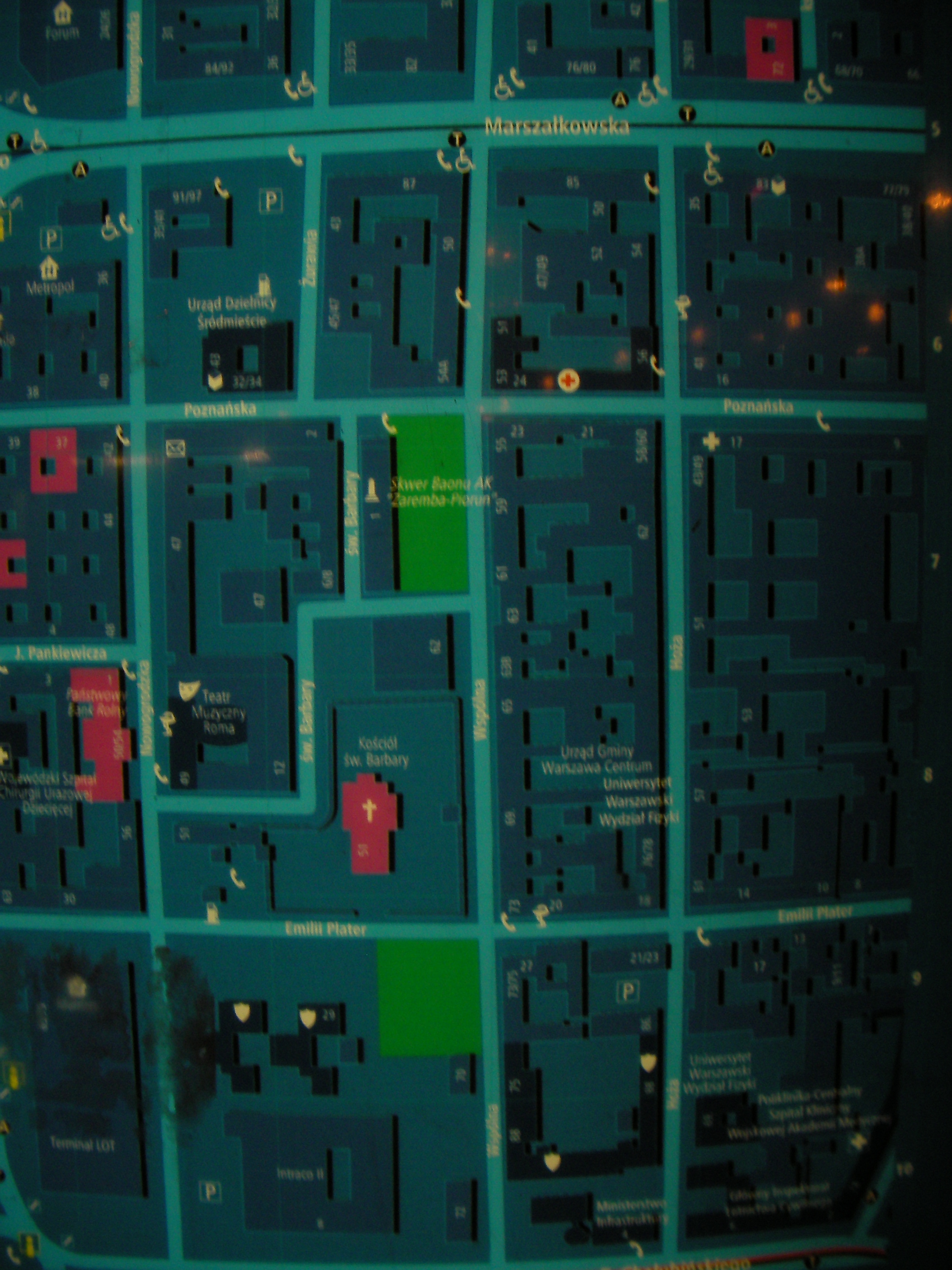
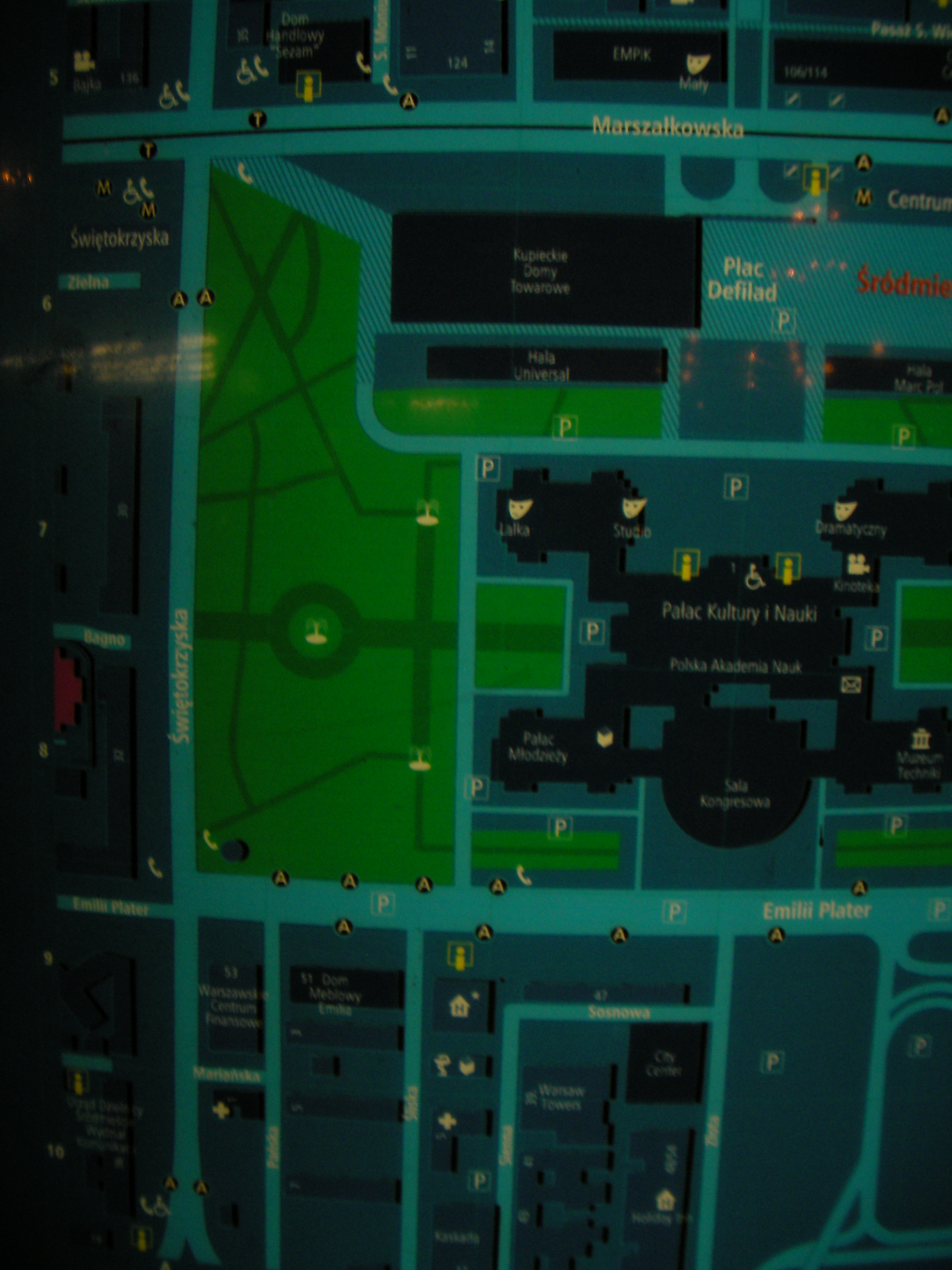
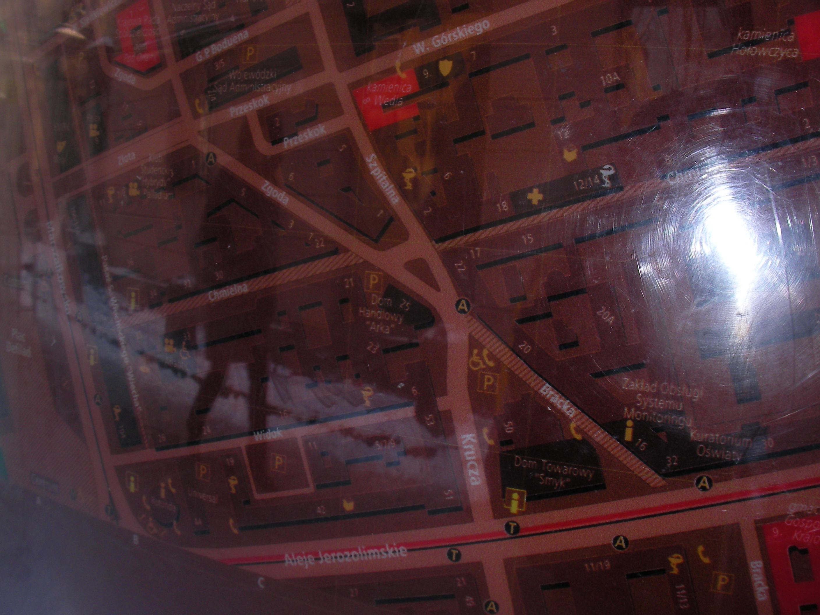
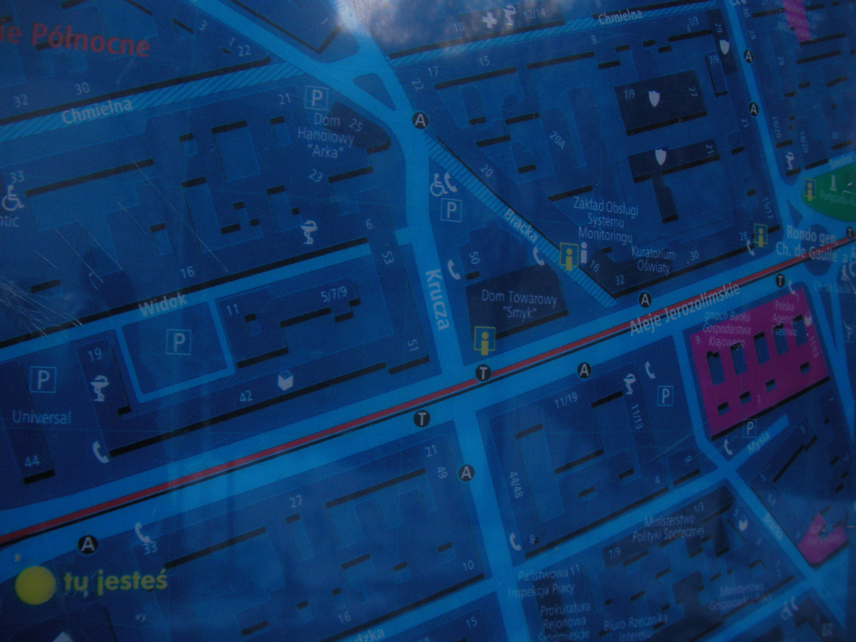
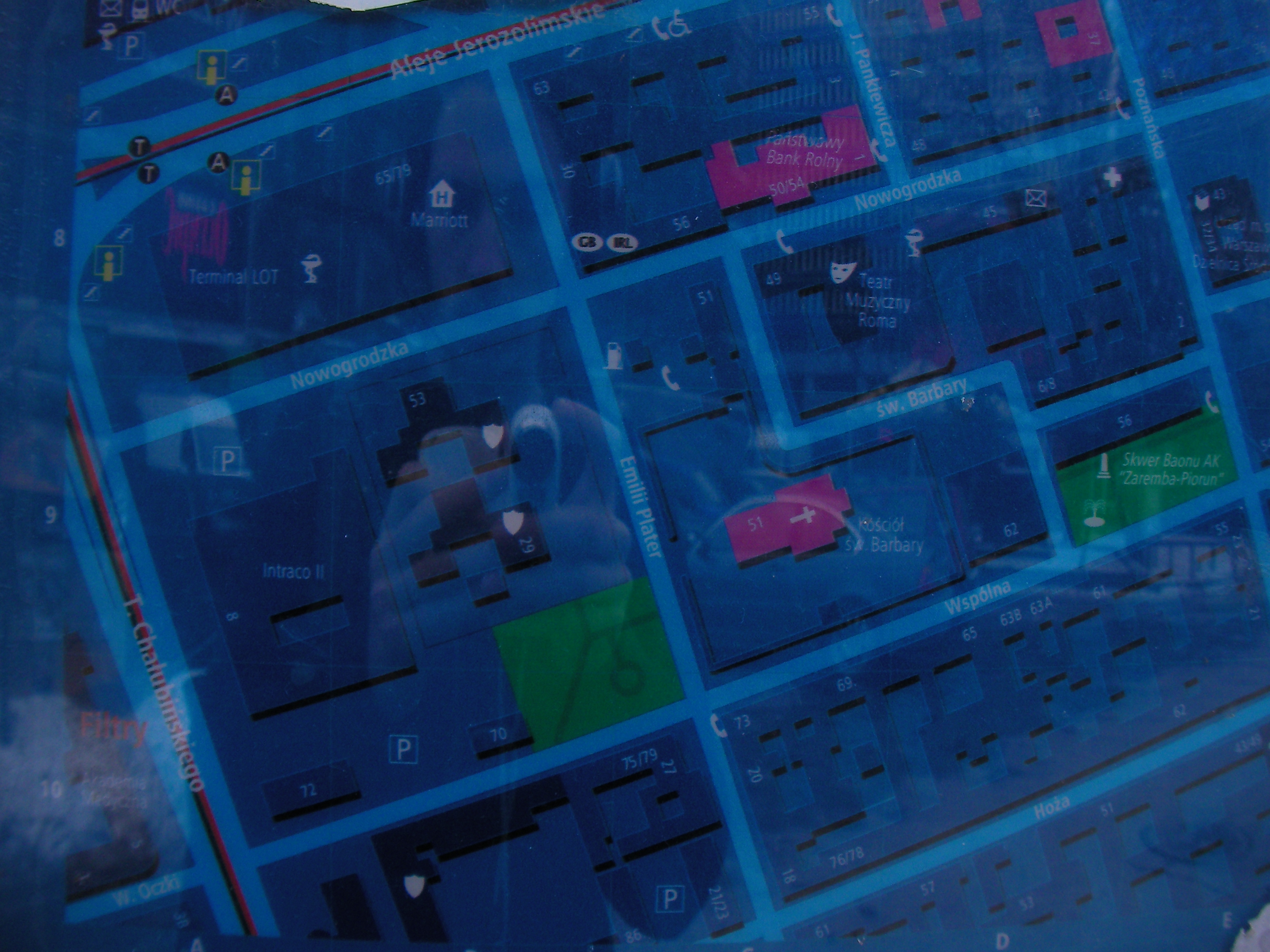
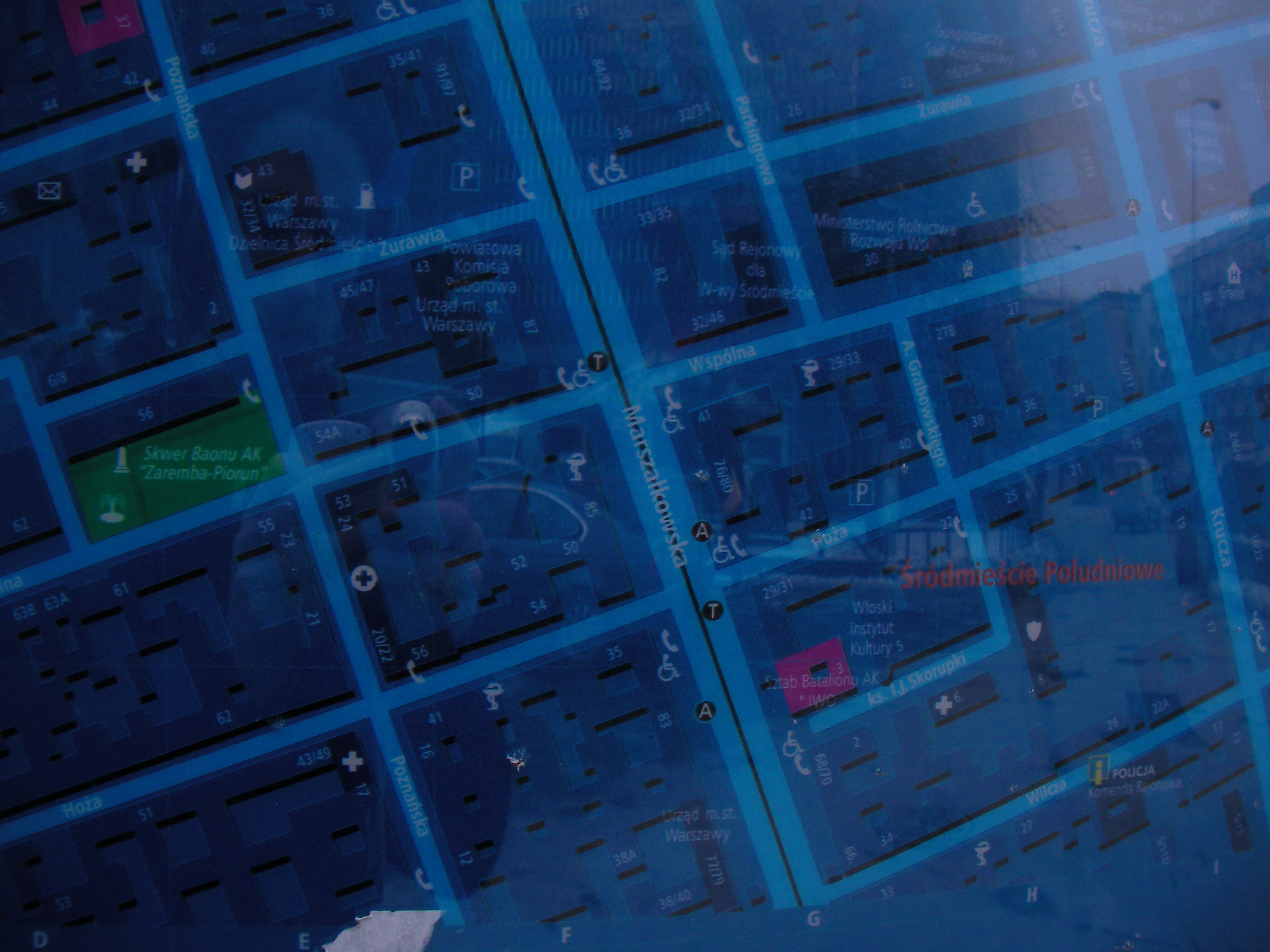
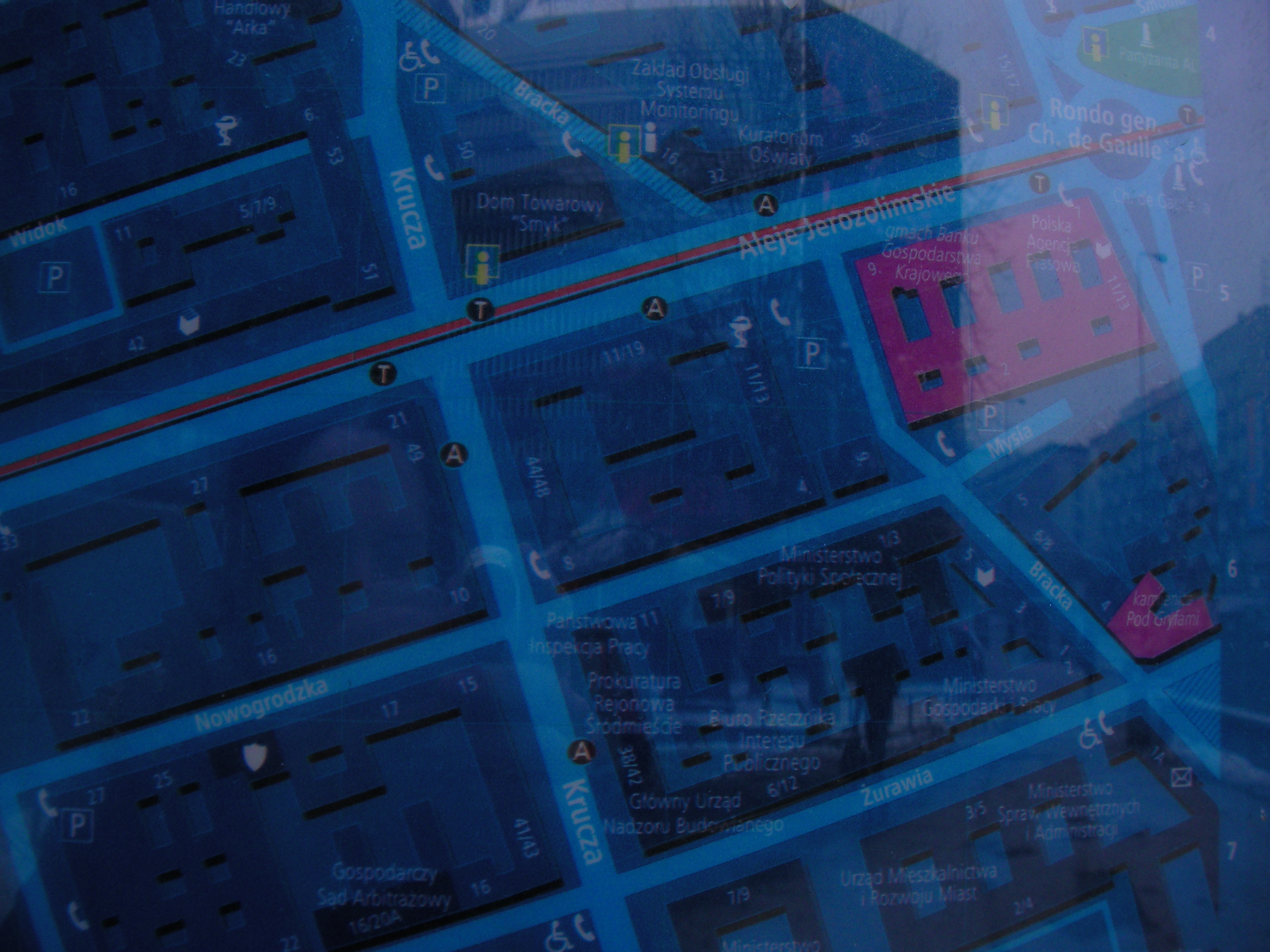
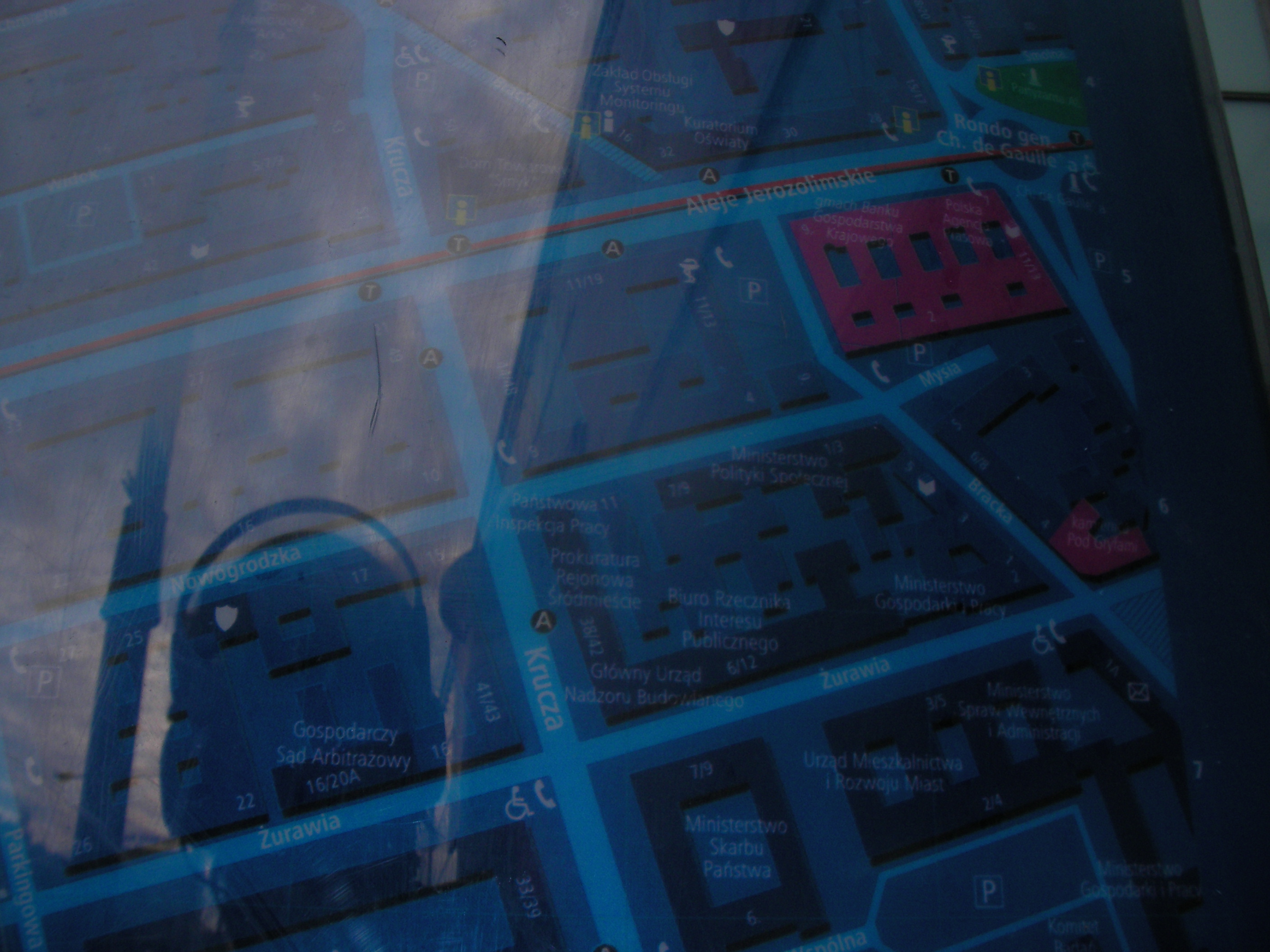
Krucza
The crossing of Aleje Jerozolimskie & Krucza streets. Approximate location.
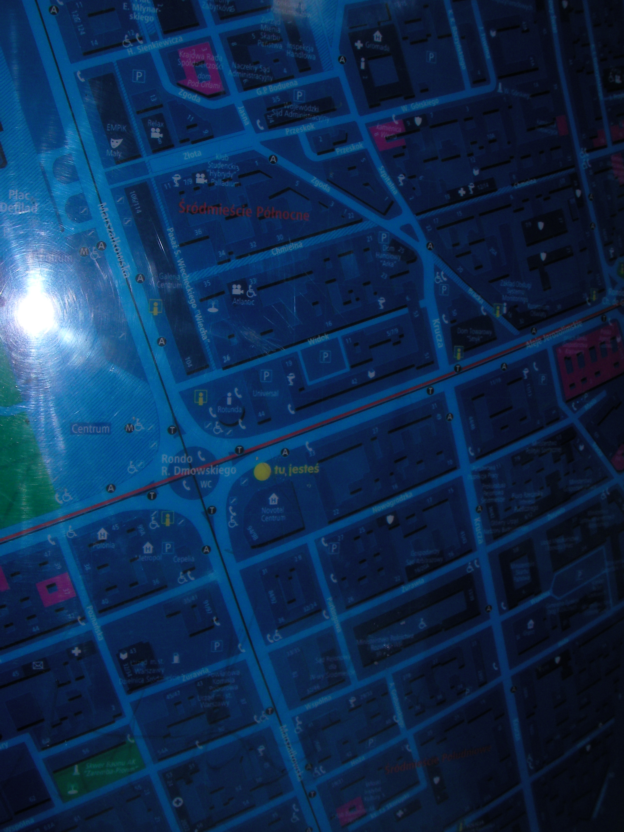
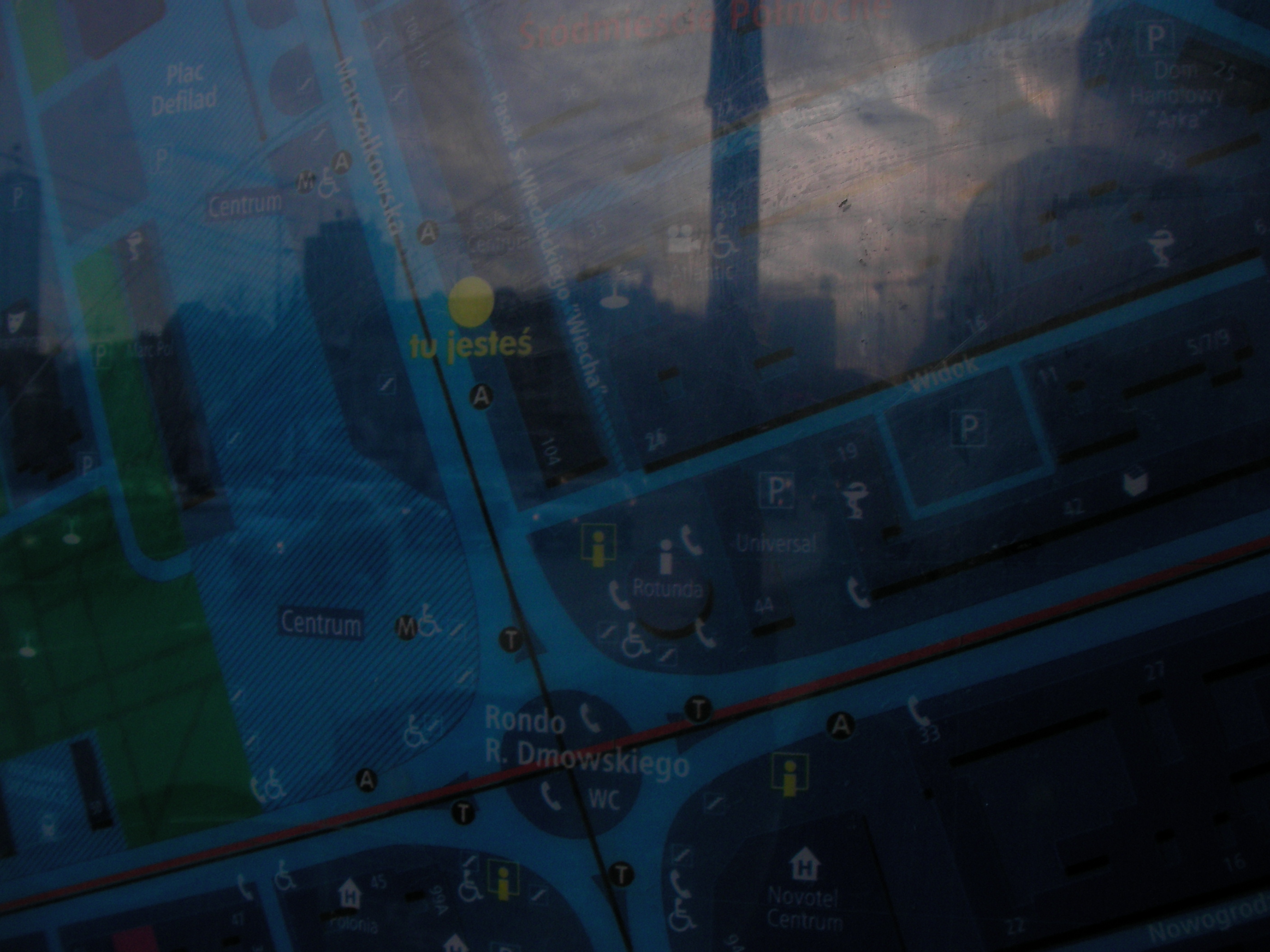
Metro Centrum
Rondo Romana Dmowskiego, next to Metro Centrum 05 bus-stop. Approximate location.
- Bottom-left, Bottom-left, Left, Top-left, Bottom-right, Left, Top-left, Top-right, Top-left, Middle, Left half.
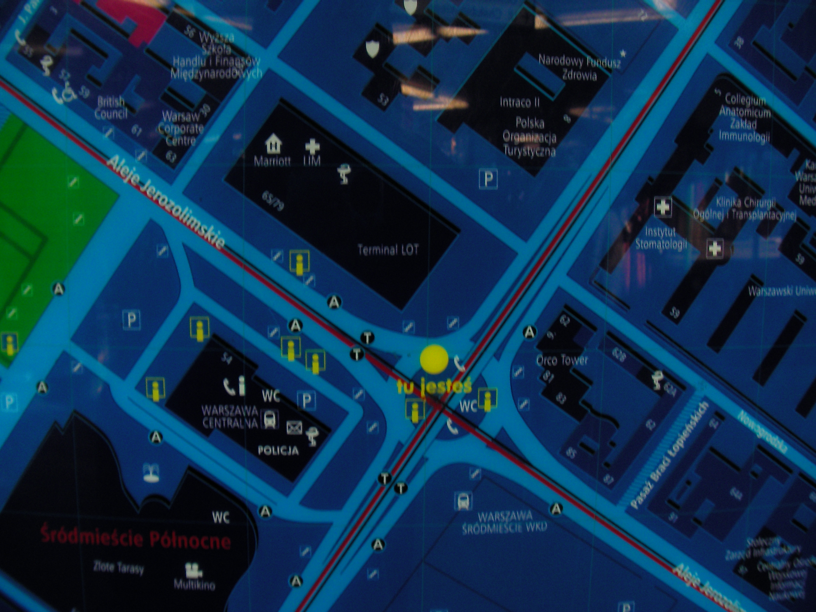
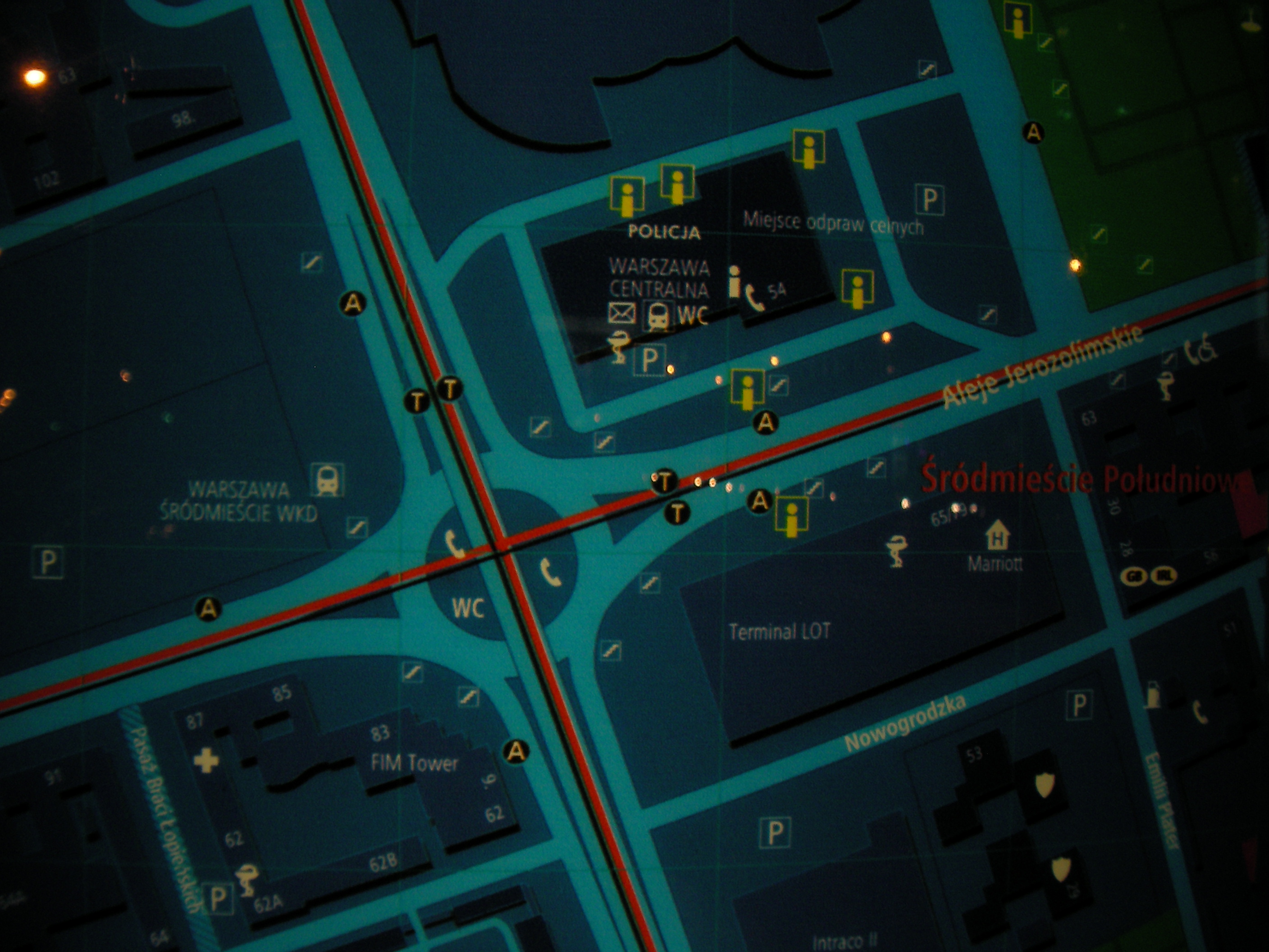
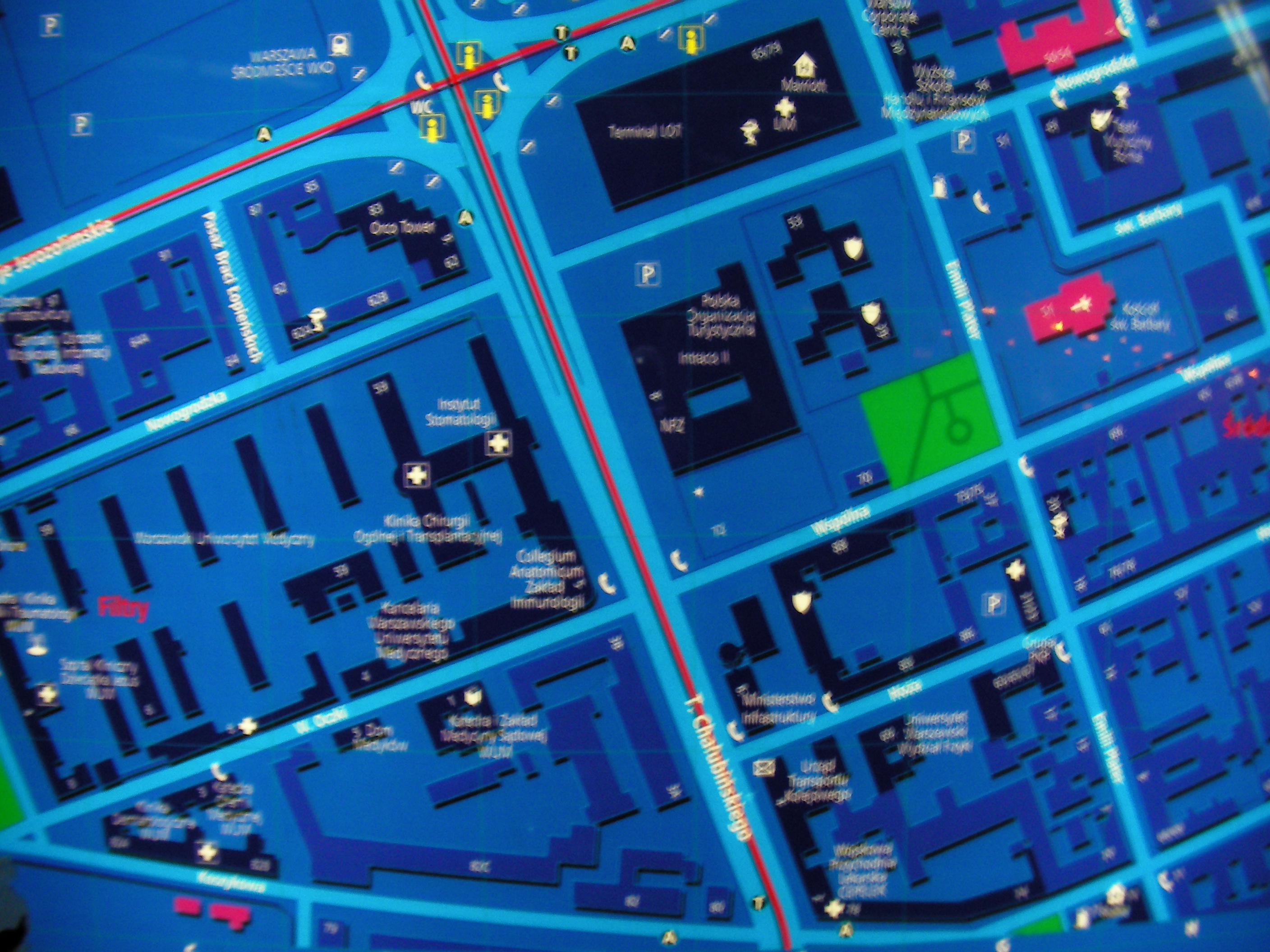
Aleje Jerozolimskie
Underground passages at the crossing of Chalubińskiego with Aleje Jerozolimskie, near the Mariott (LIM) exit. Approximate location.
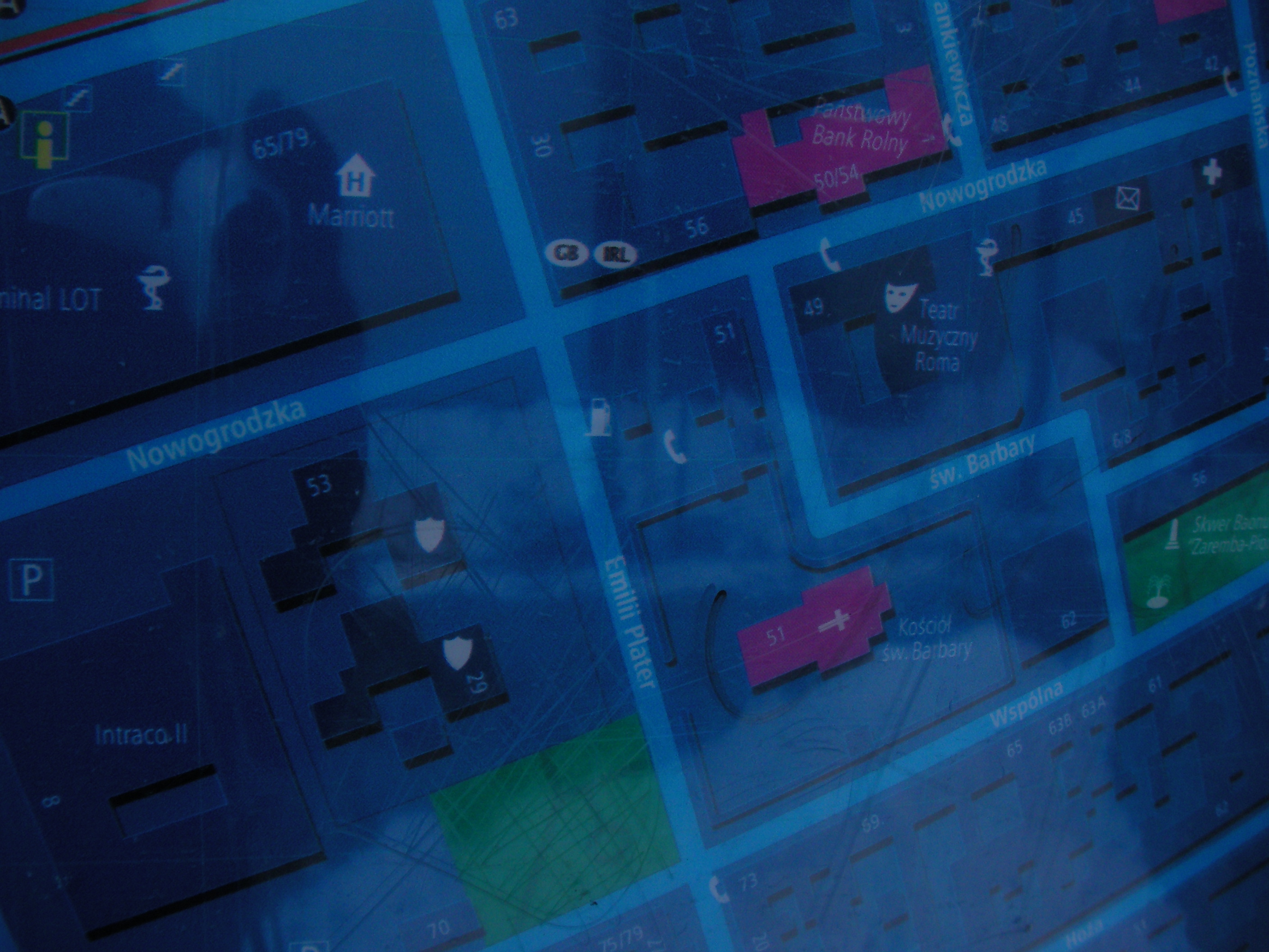
Mariott
At the bus stop and entrance to the "LIM centre" (Mariott) from Aleje Jerozolimskie. Approximate location.
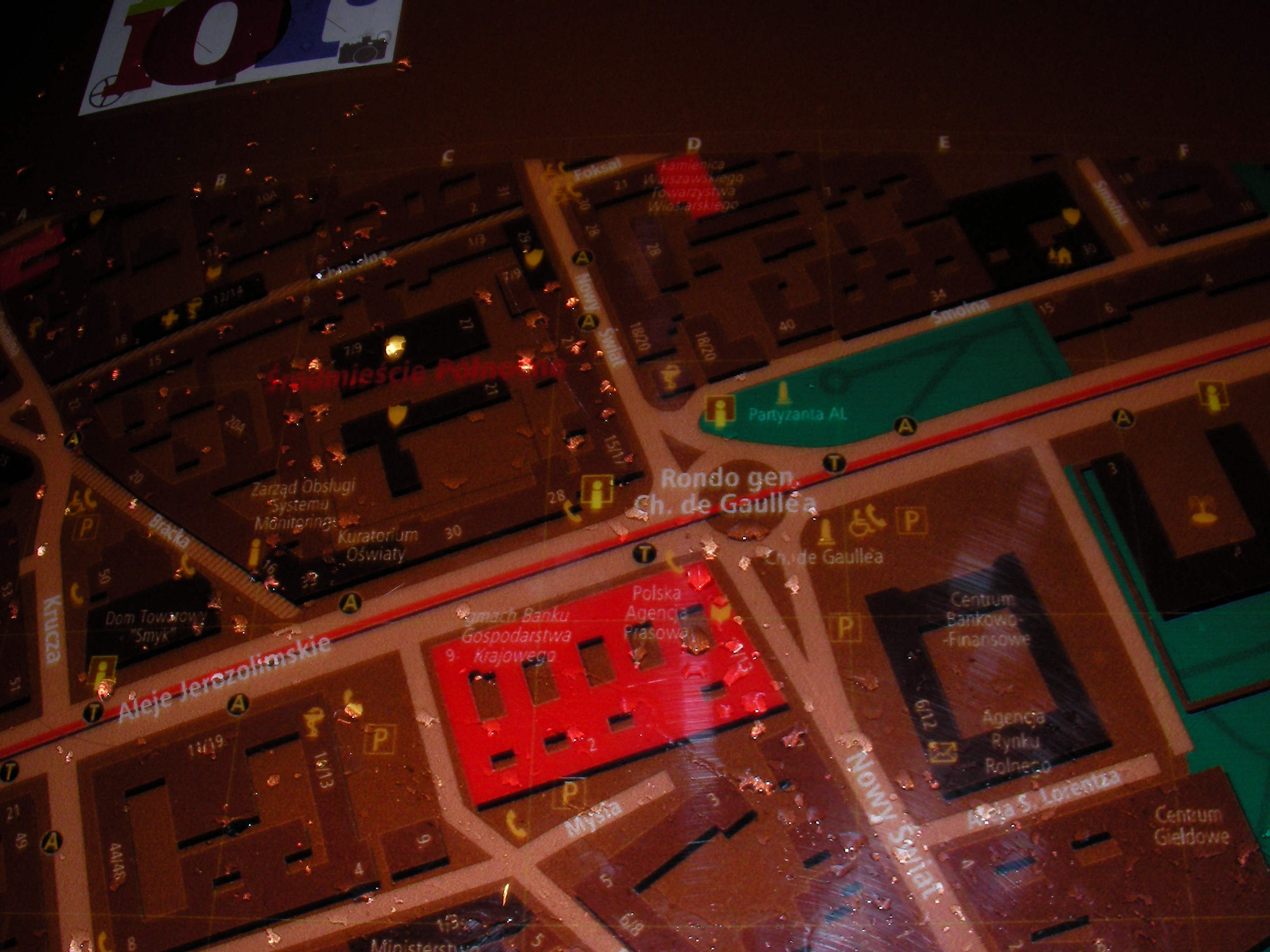
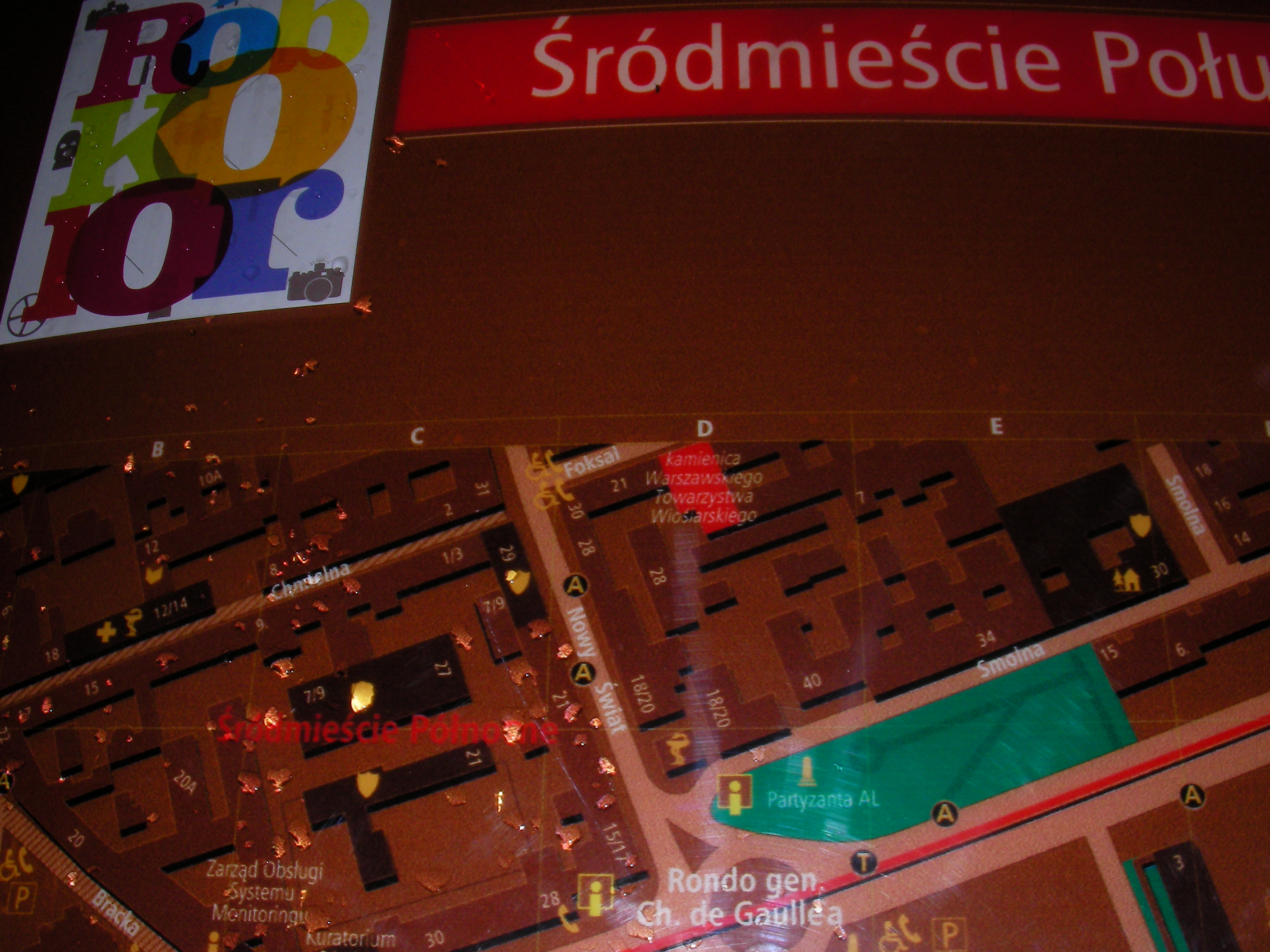
Charles De Gaulle roundabout
North side of the roundabout with the palm. Approximate location.
- Bottom-left, Left, Top-left, Top-left, Left, Bottom-left, Bottom, Bottom-right, Bottom-right, Top, Right, Top-right, Top, Top, Bottom-right, Middle.
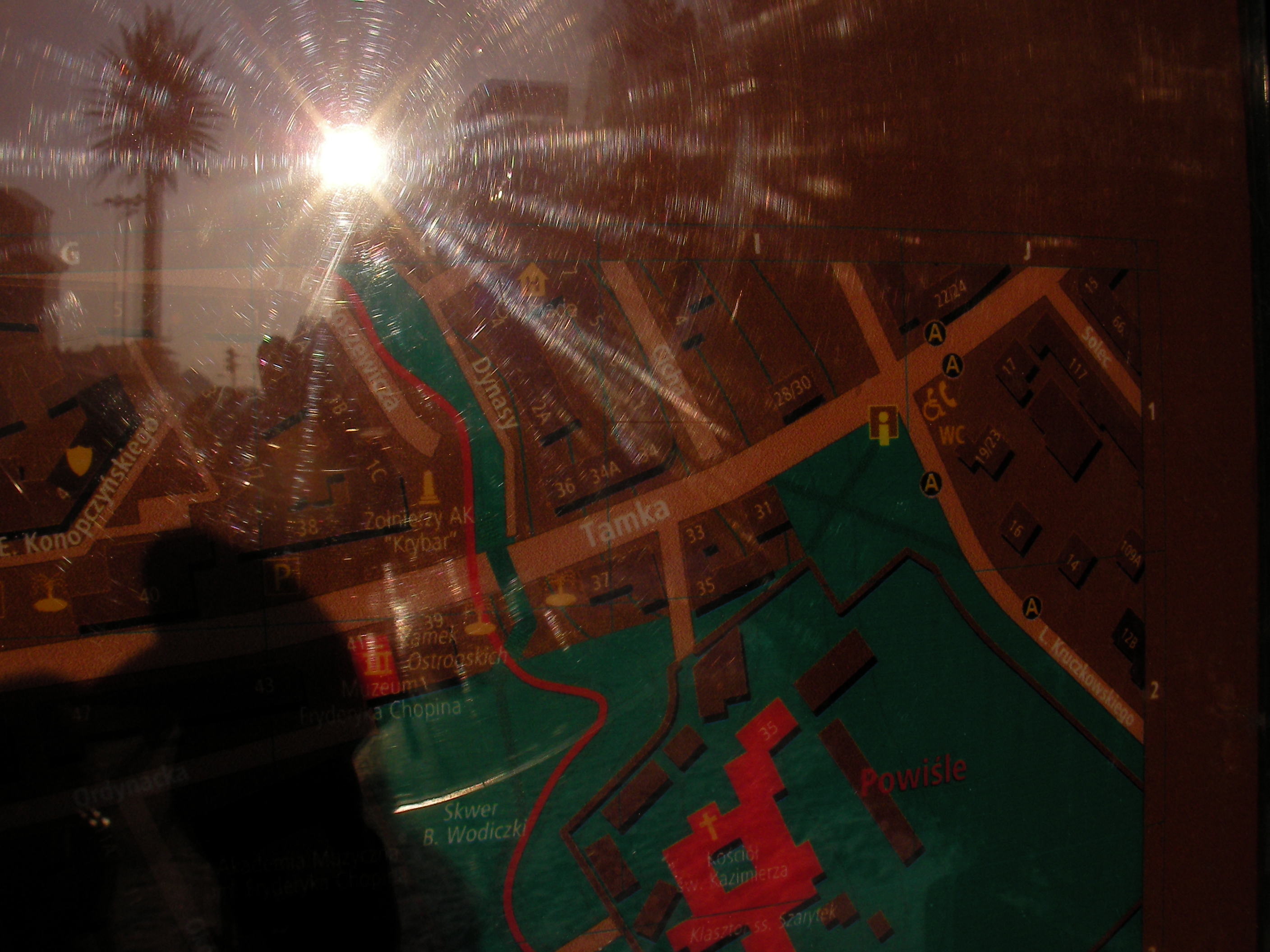
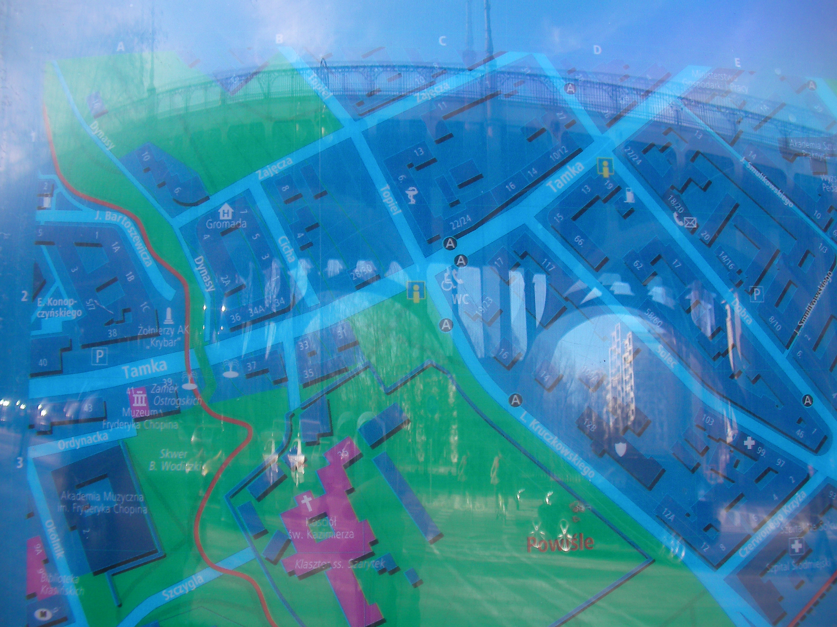
Poniatowski bridge
West end of Poniatowski bridge, near the Warszawa Powiśle train halt. Approximate location.
- Bottom, Middle, Top, Top-right, Right, Bottom-right, Bottom-right, Right, Top-right, Top-right, Right, Bottom-right, Left half, Bottom-left, Bottom, Bottom-right, Left, Right.
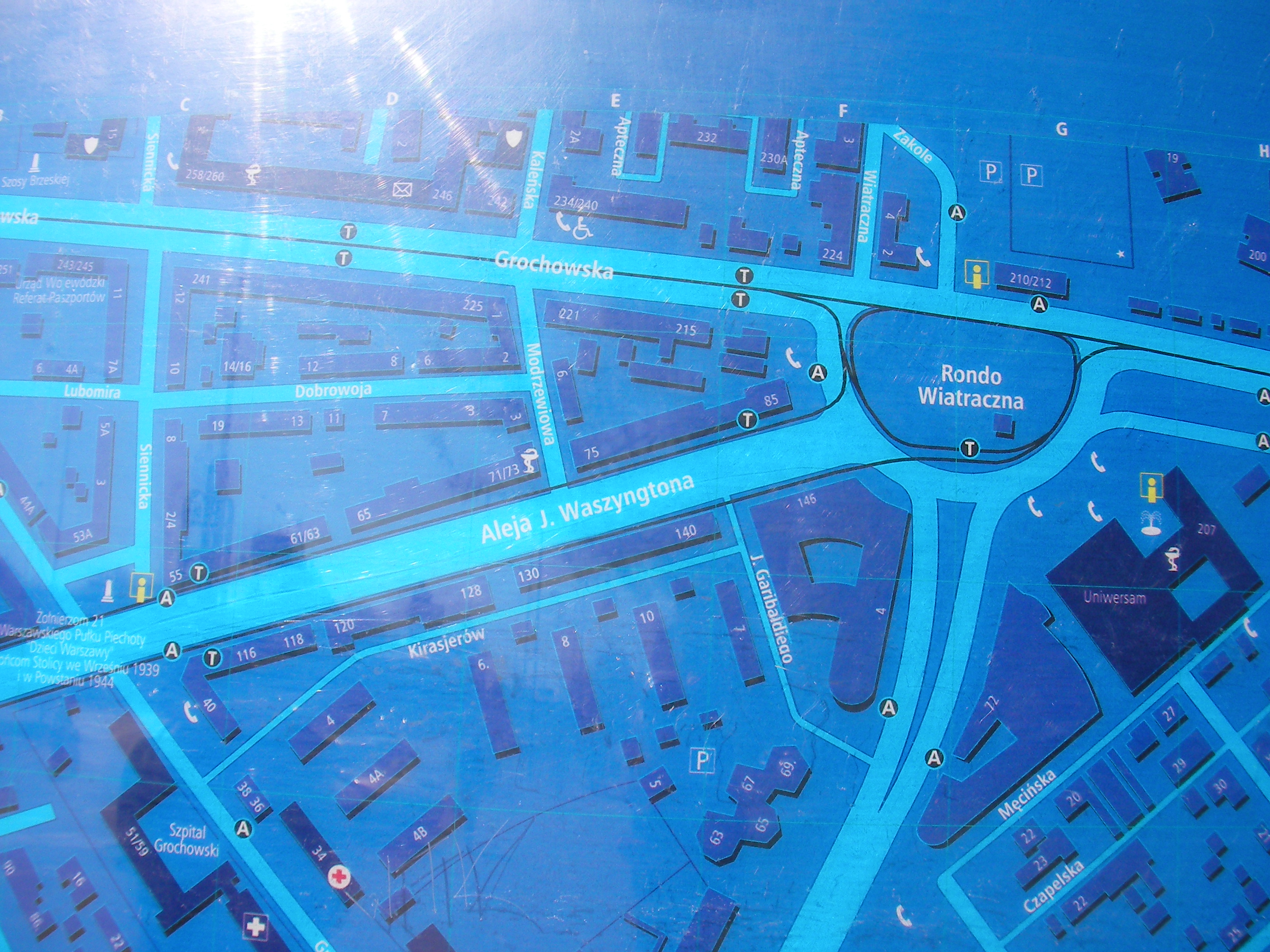
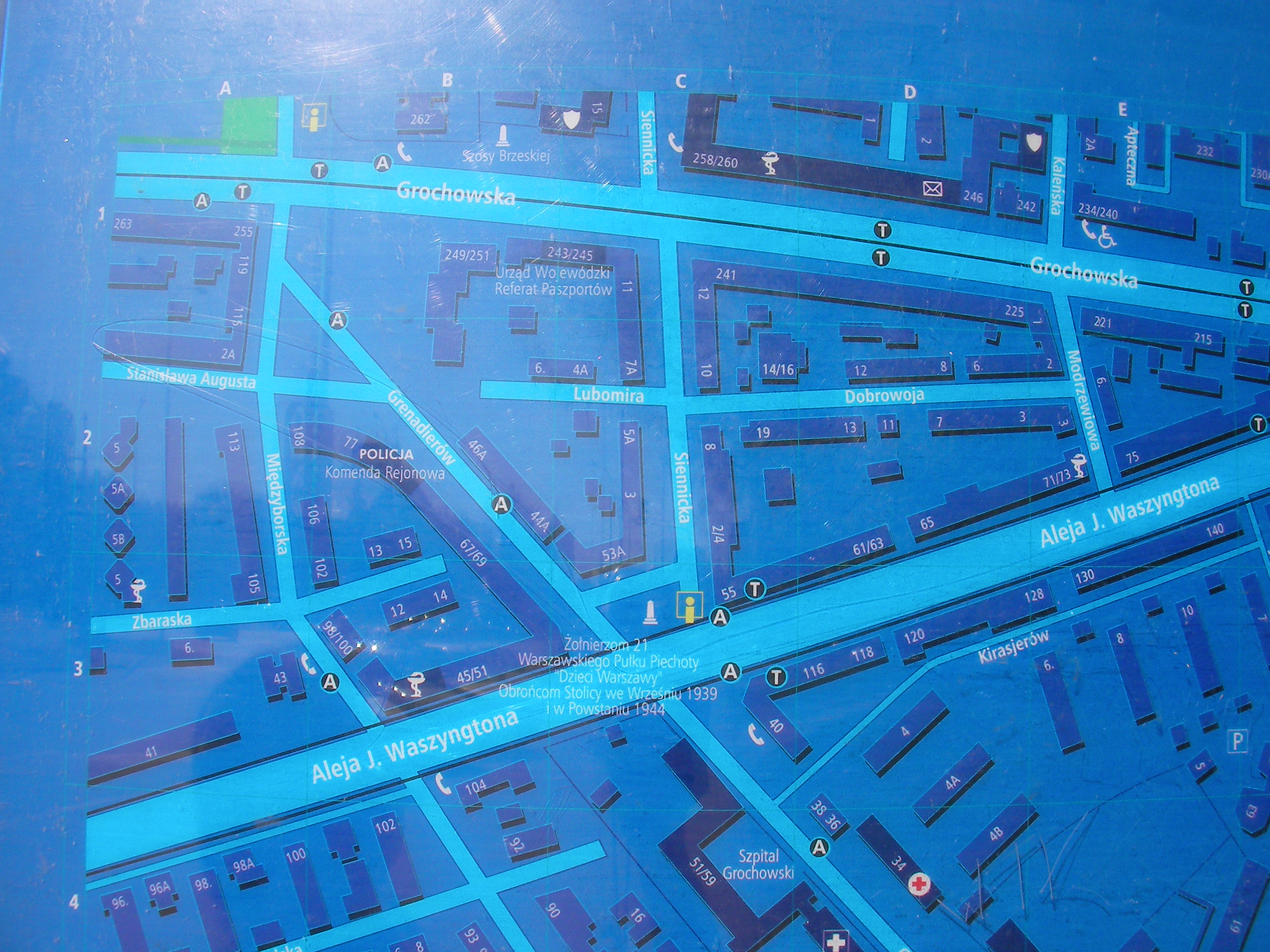
George Washington roundabout
South side of rondo Waszyngtona. Approximate location.
- Left, Bottom-right, Bottom-right, Top-right, Right, Middle, Left, Top-left, Top, [Top-right, Bottom, Bottom-right, Middle.
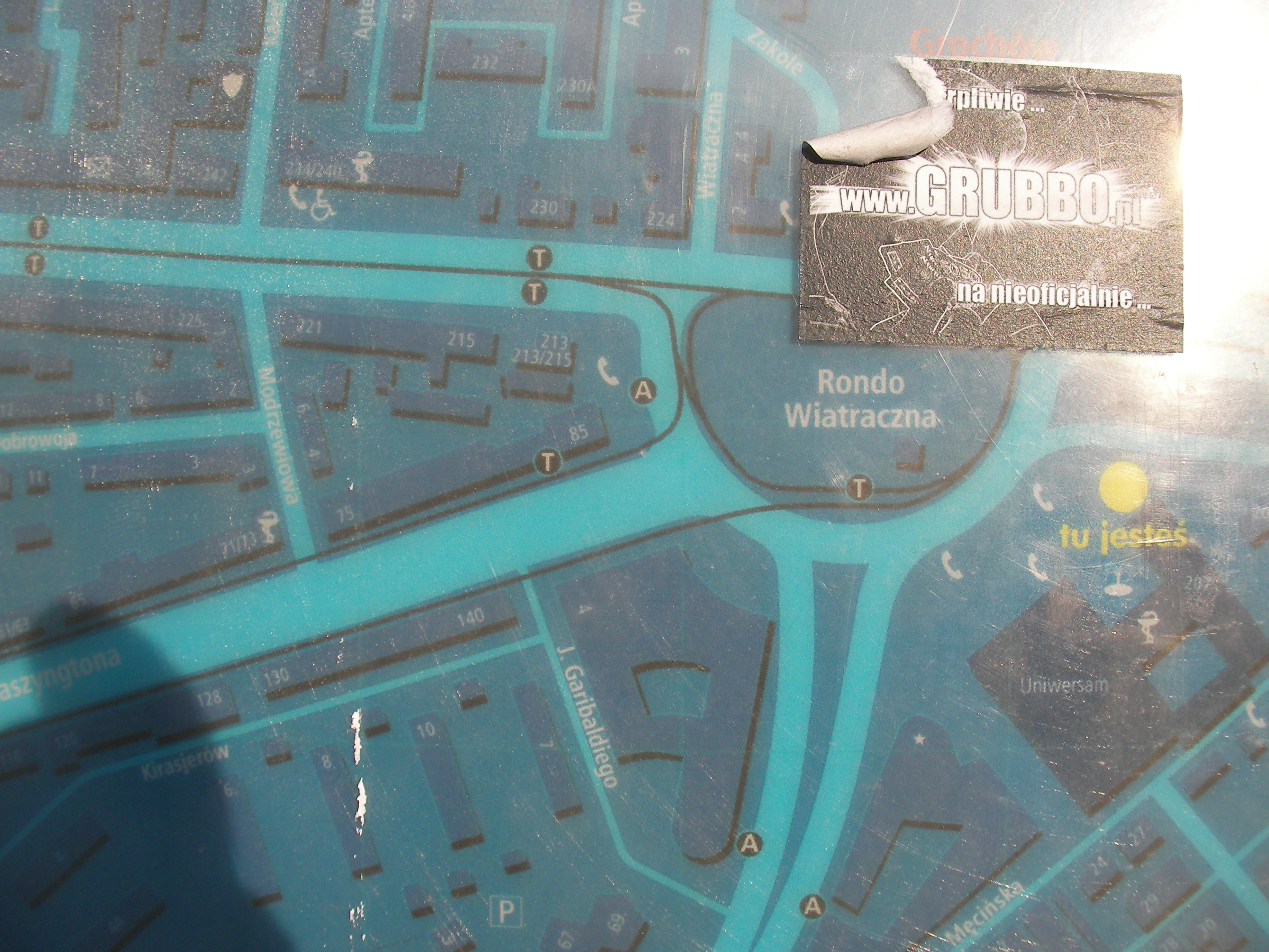
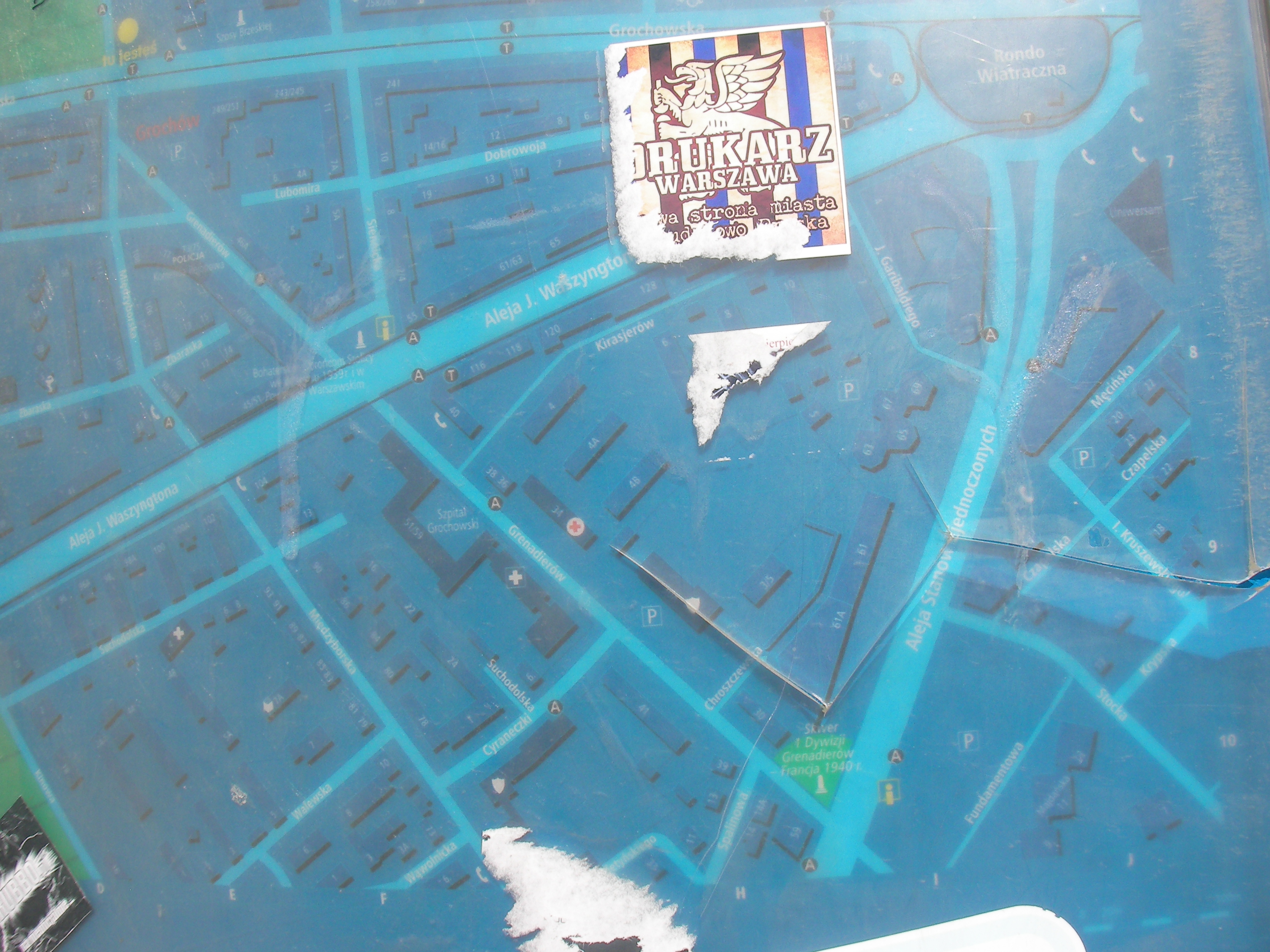
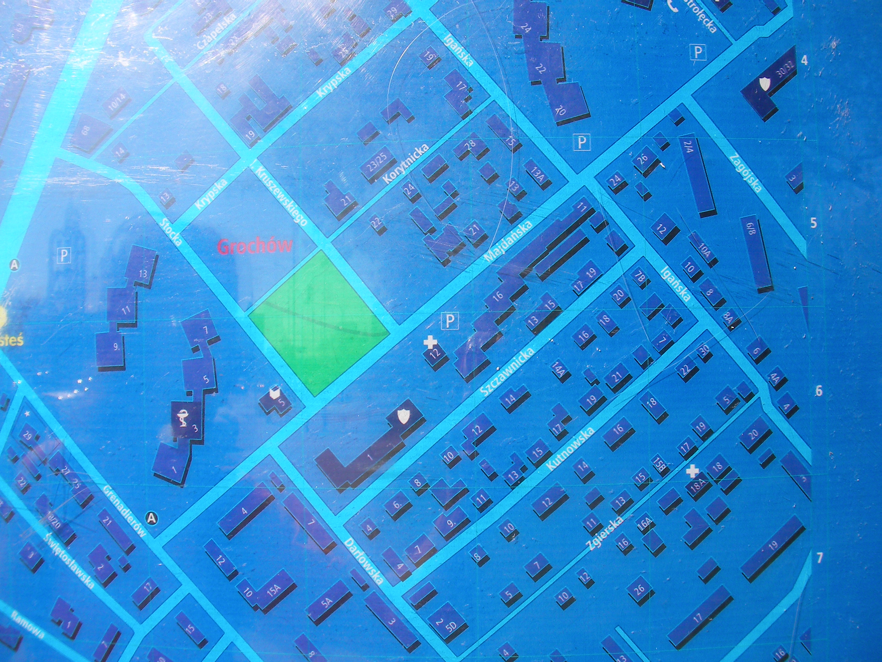
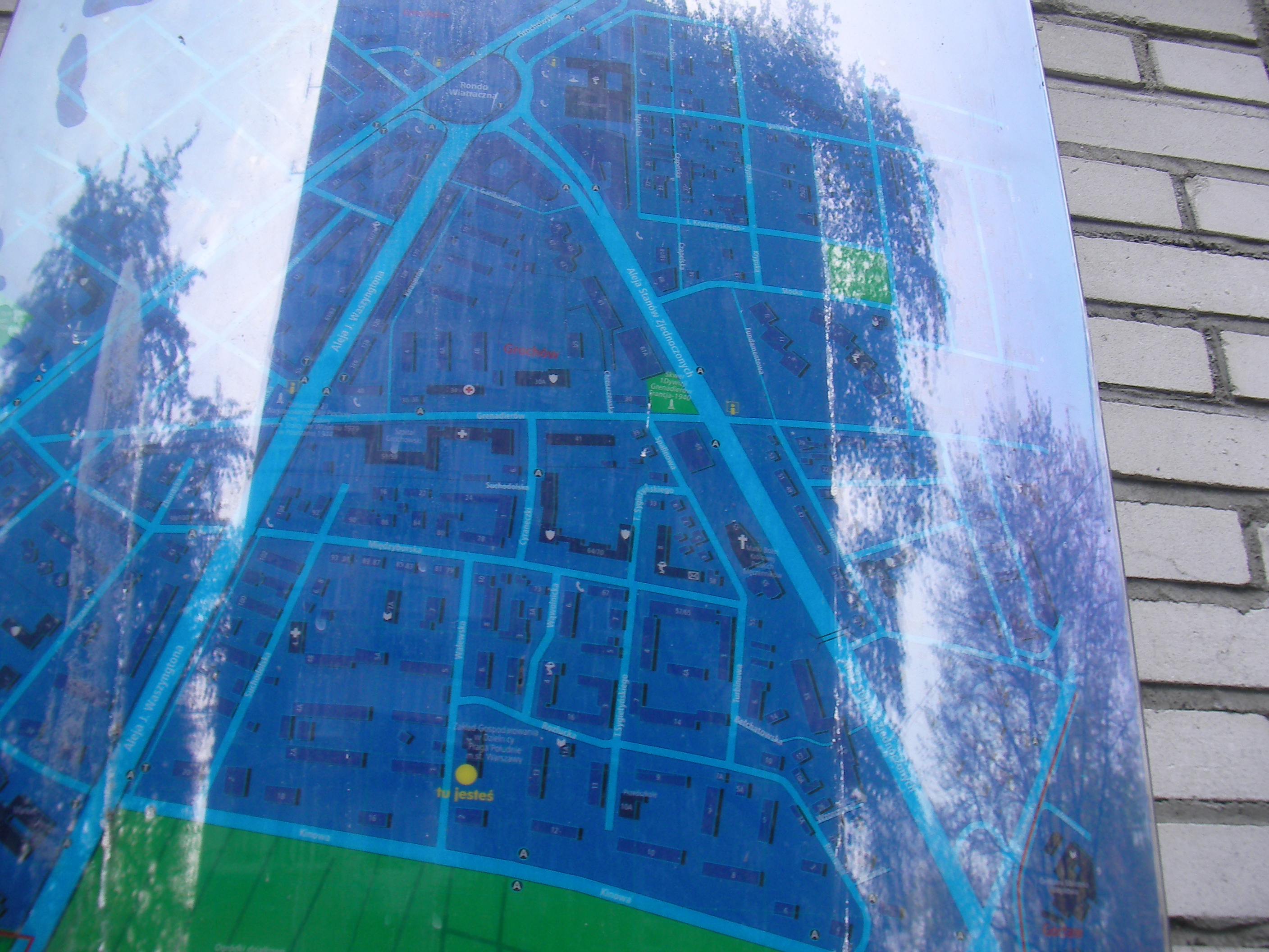
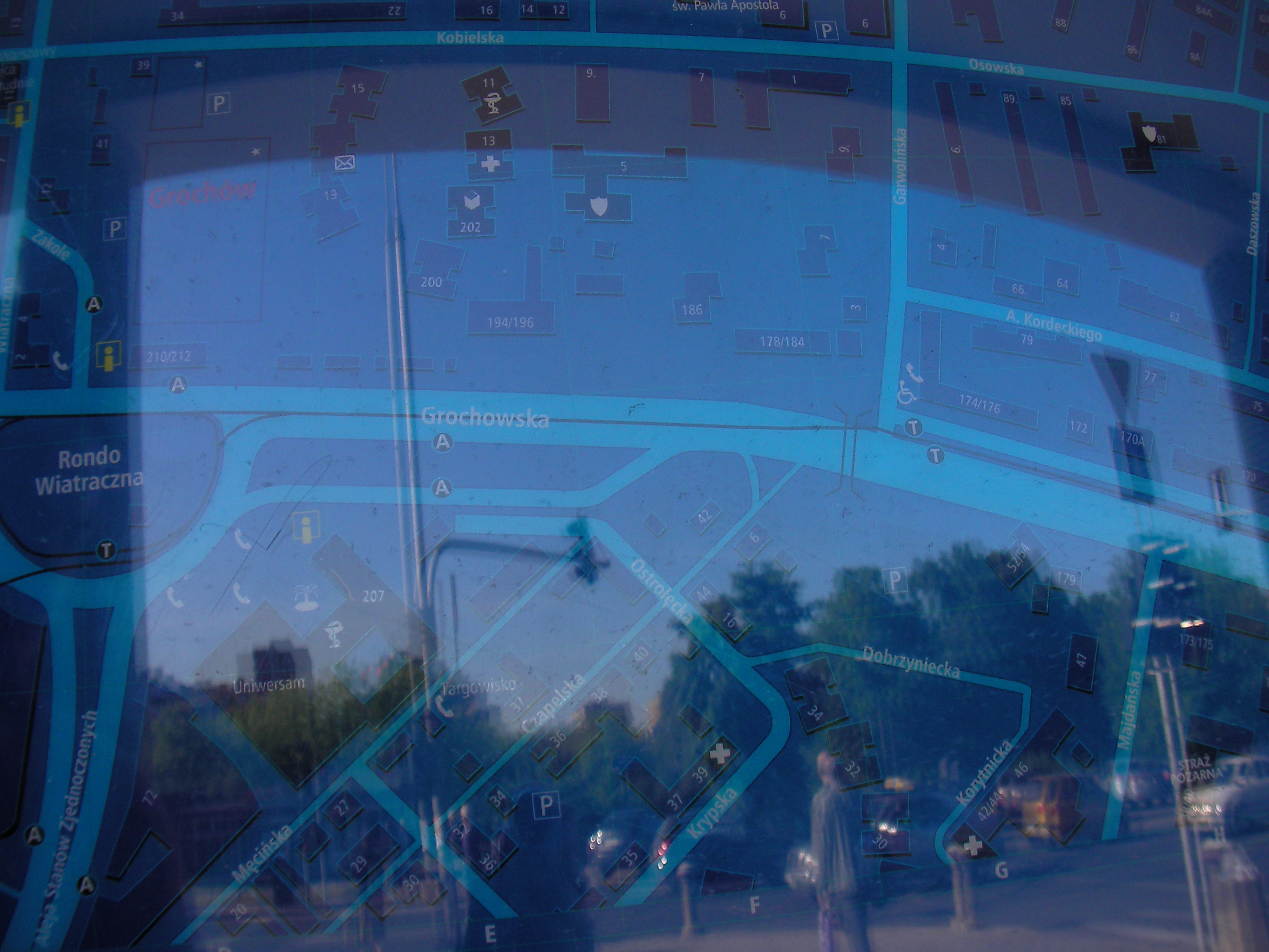
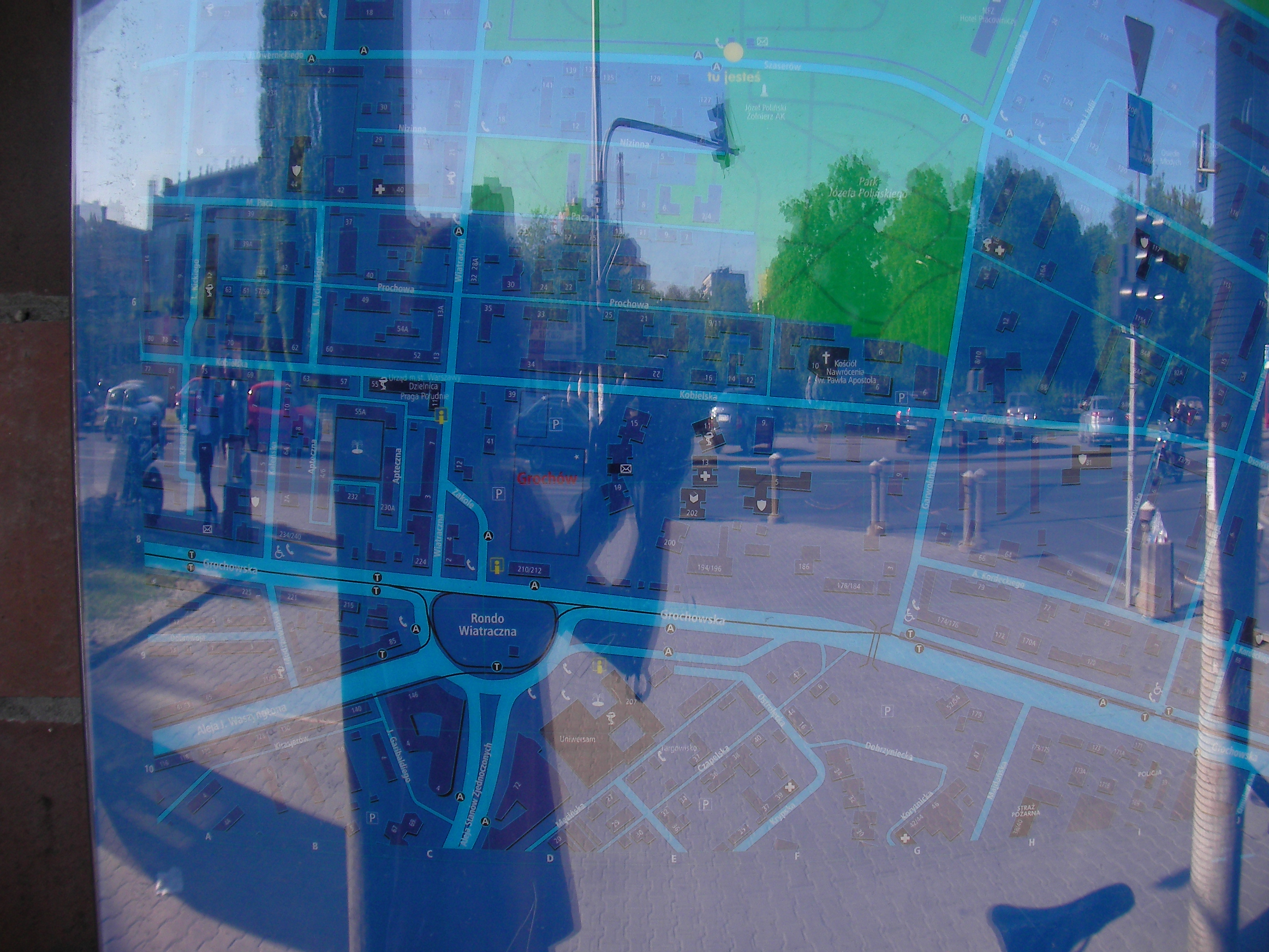
Wiatraczna roundabout
East of the roundabout, in front of "Supersam Grochów". Approximate location.
- Bottom-right, Bottom-left, Bottom, Right, Left, Top-left, Top, Top-right, Right, Top-right, Middle, Bottom.
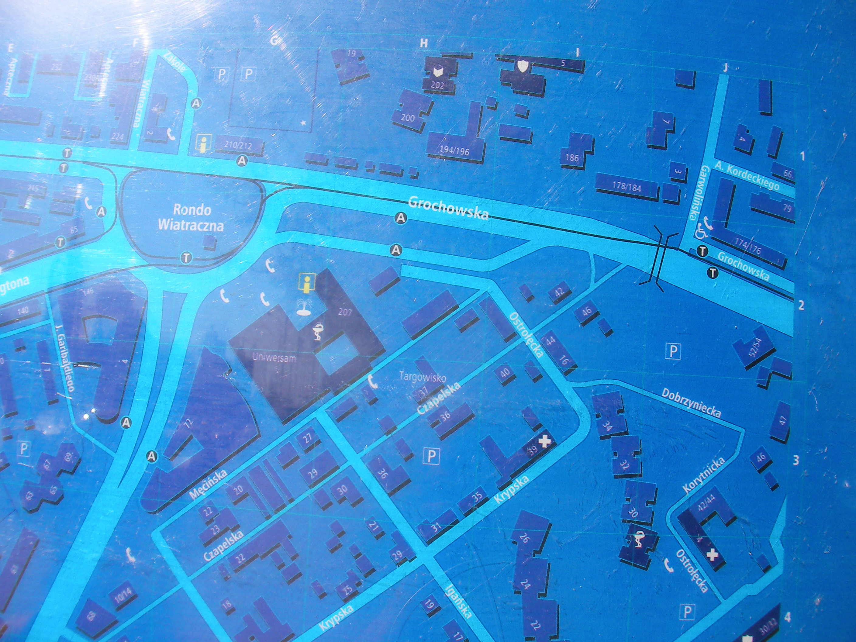
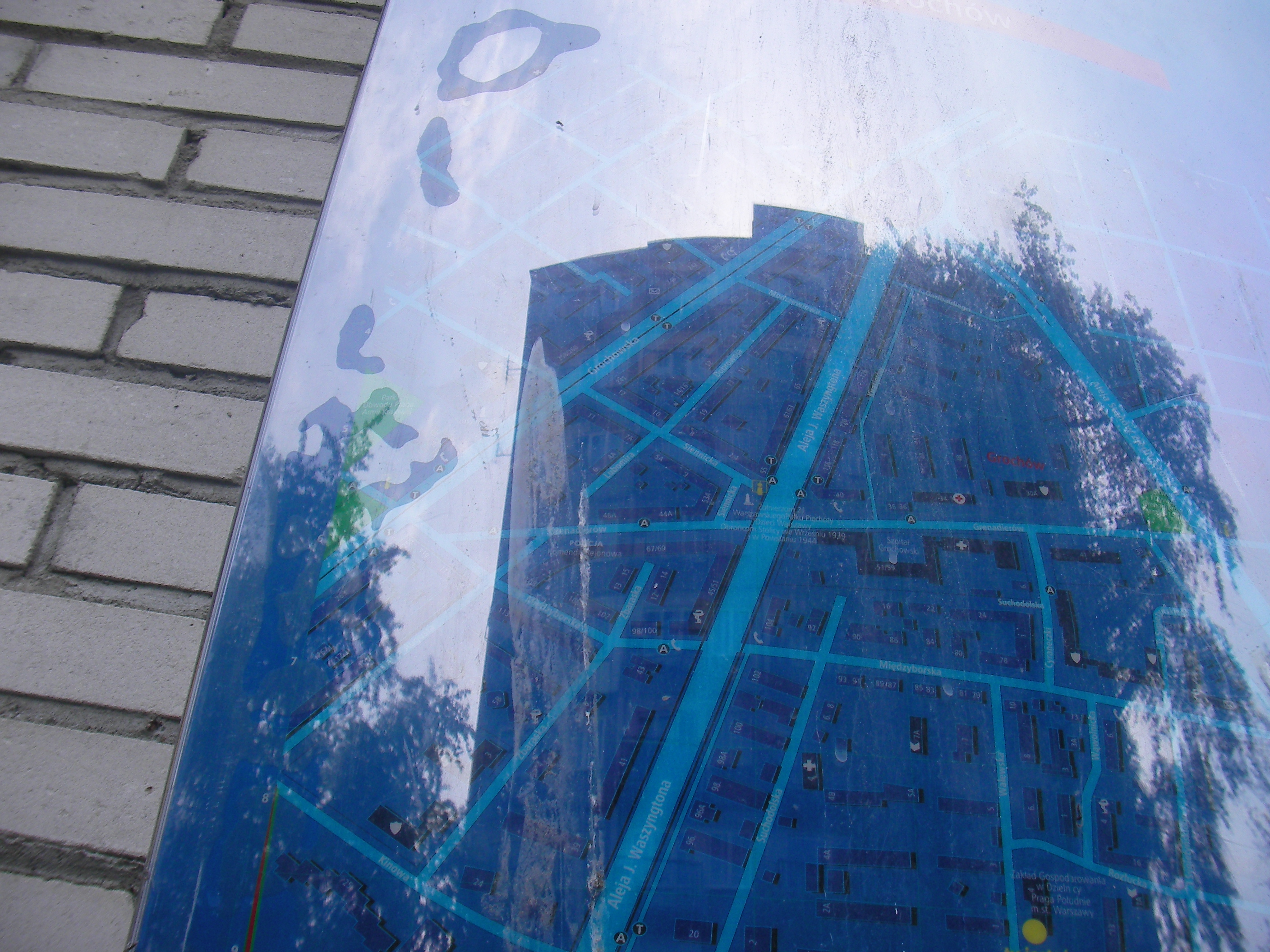
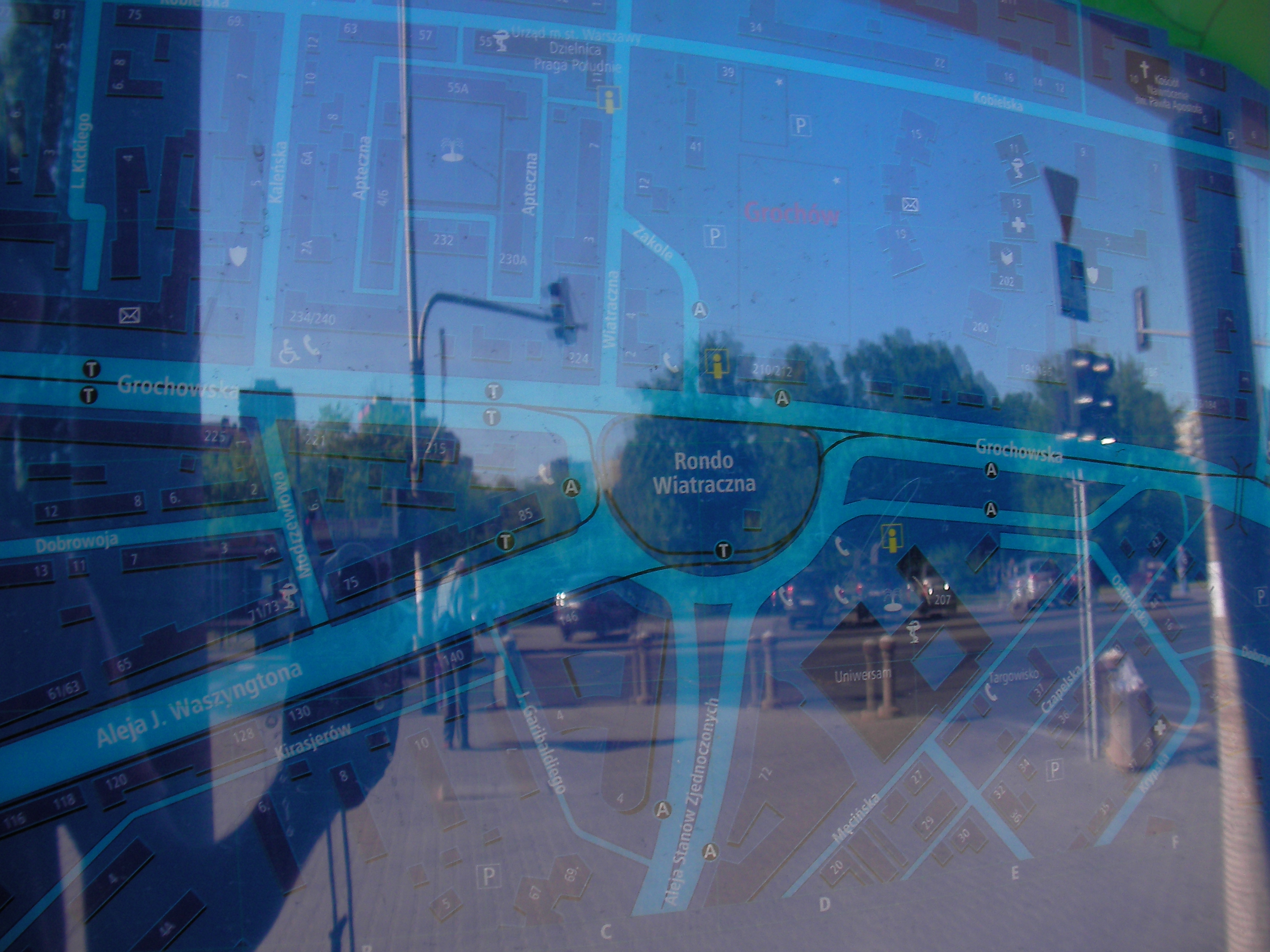
Wiatraczna roundabout (Zakole)
North from the roundabout. Approximate location.
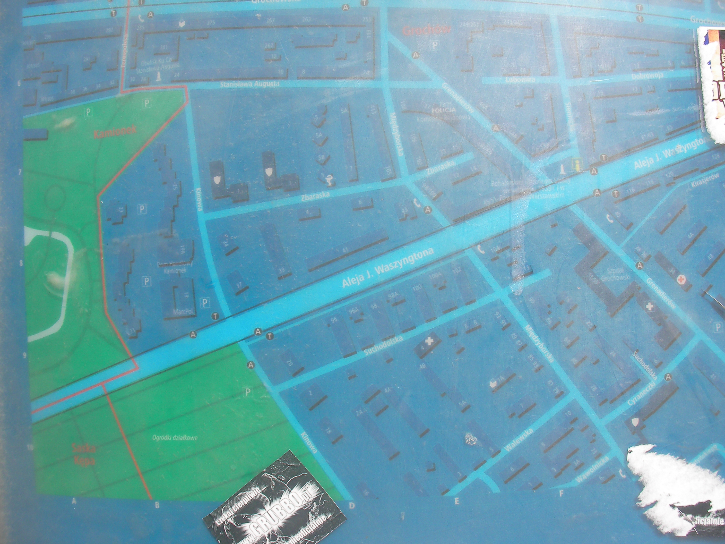
Kinowa
Crossing of Kinowa and Waszyngtona, next to the tram stop. Approximate location.
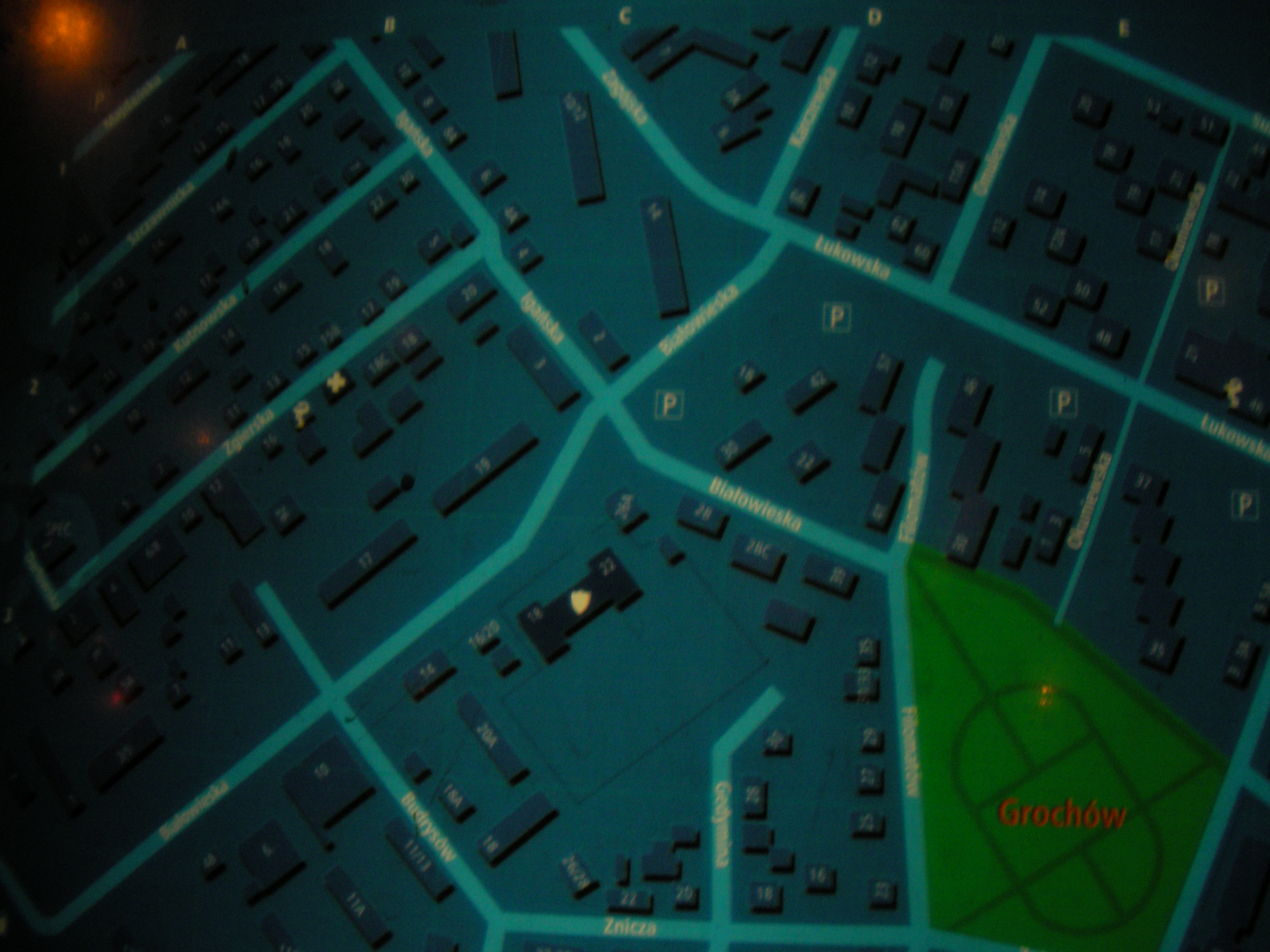
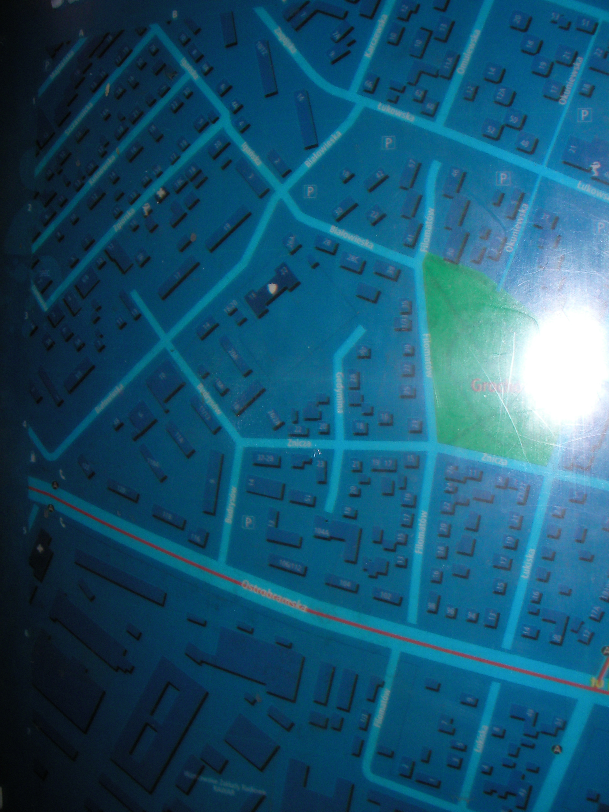
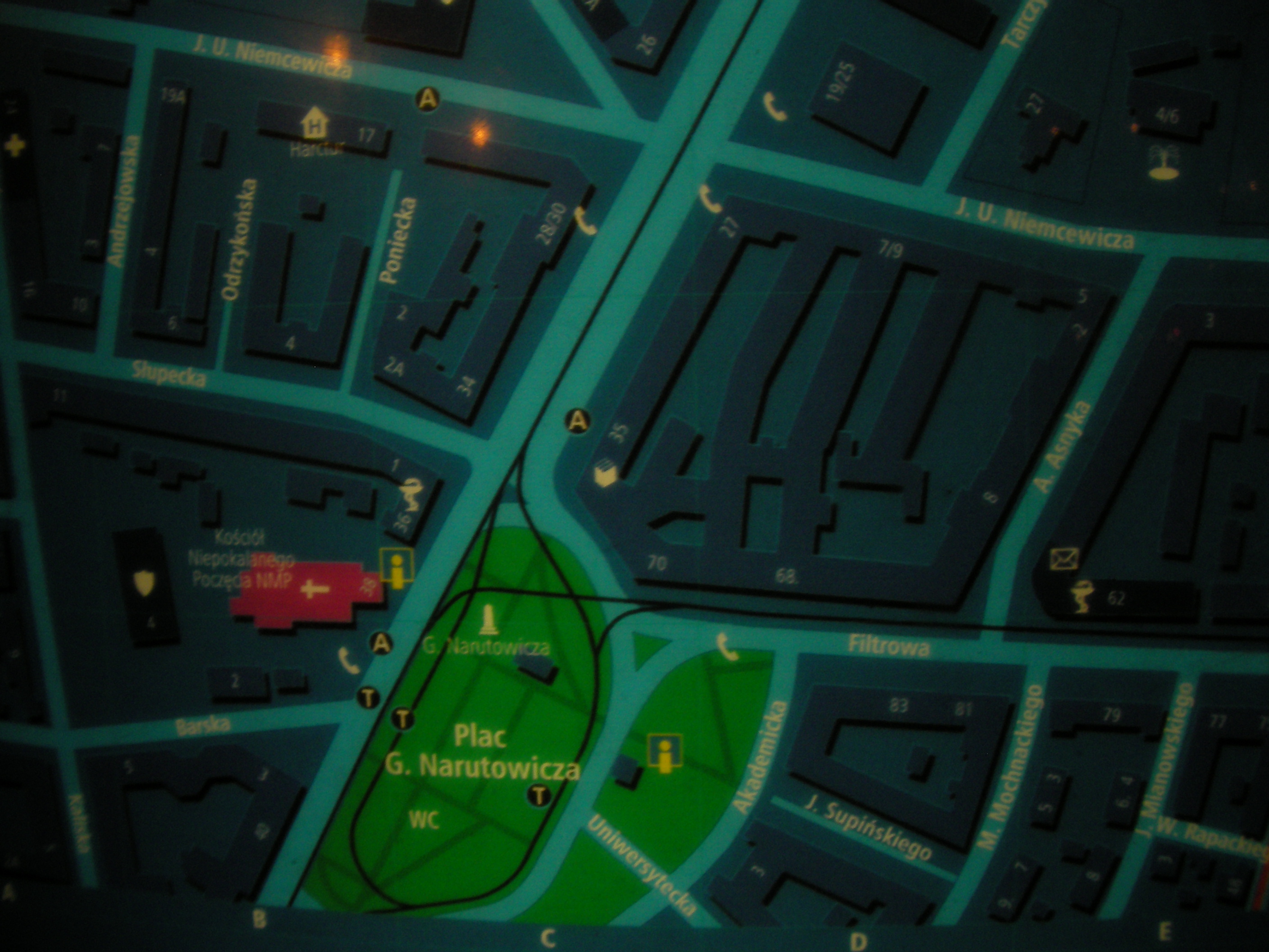
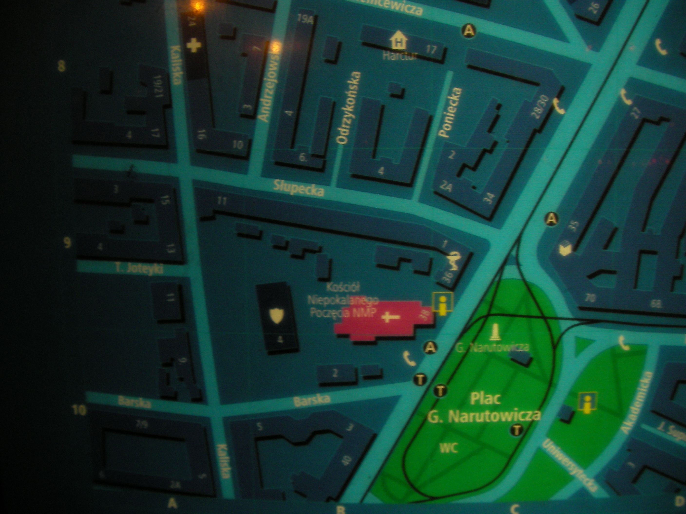
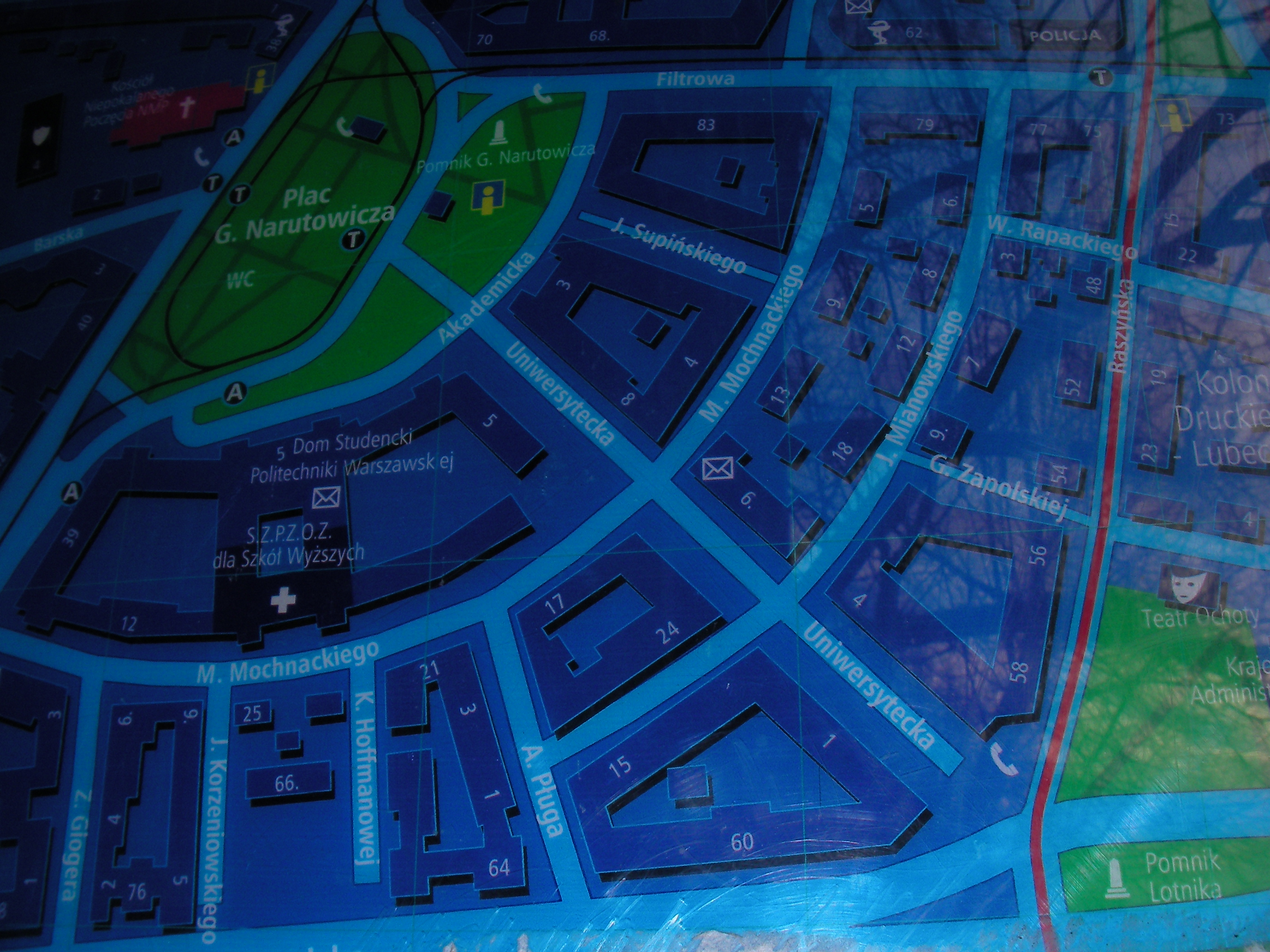
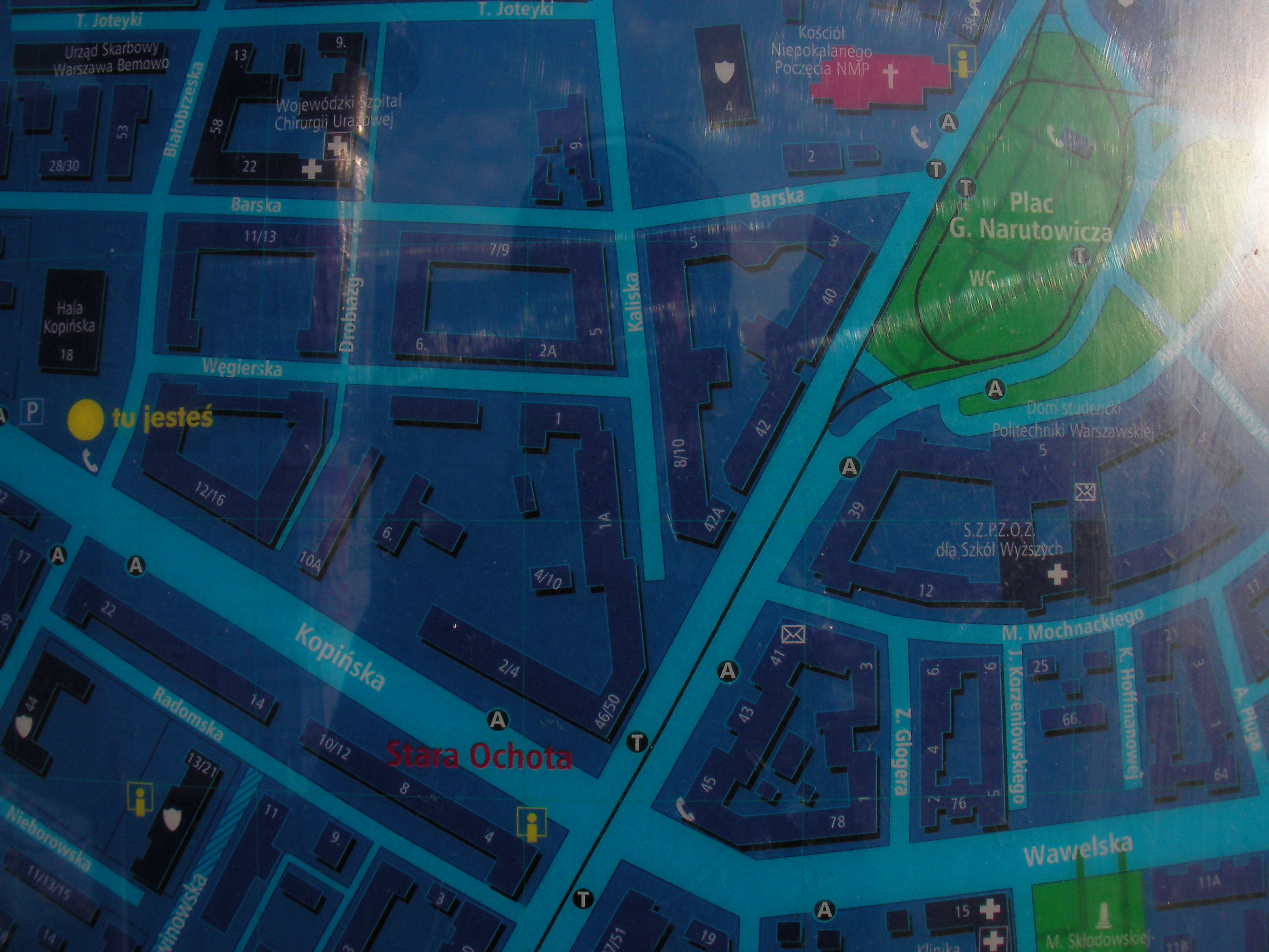
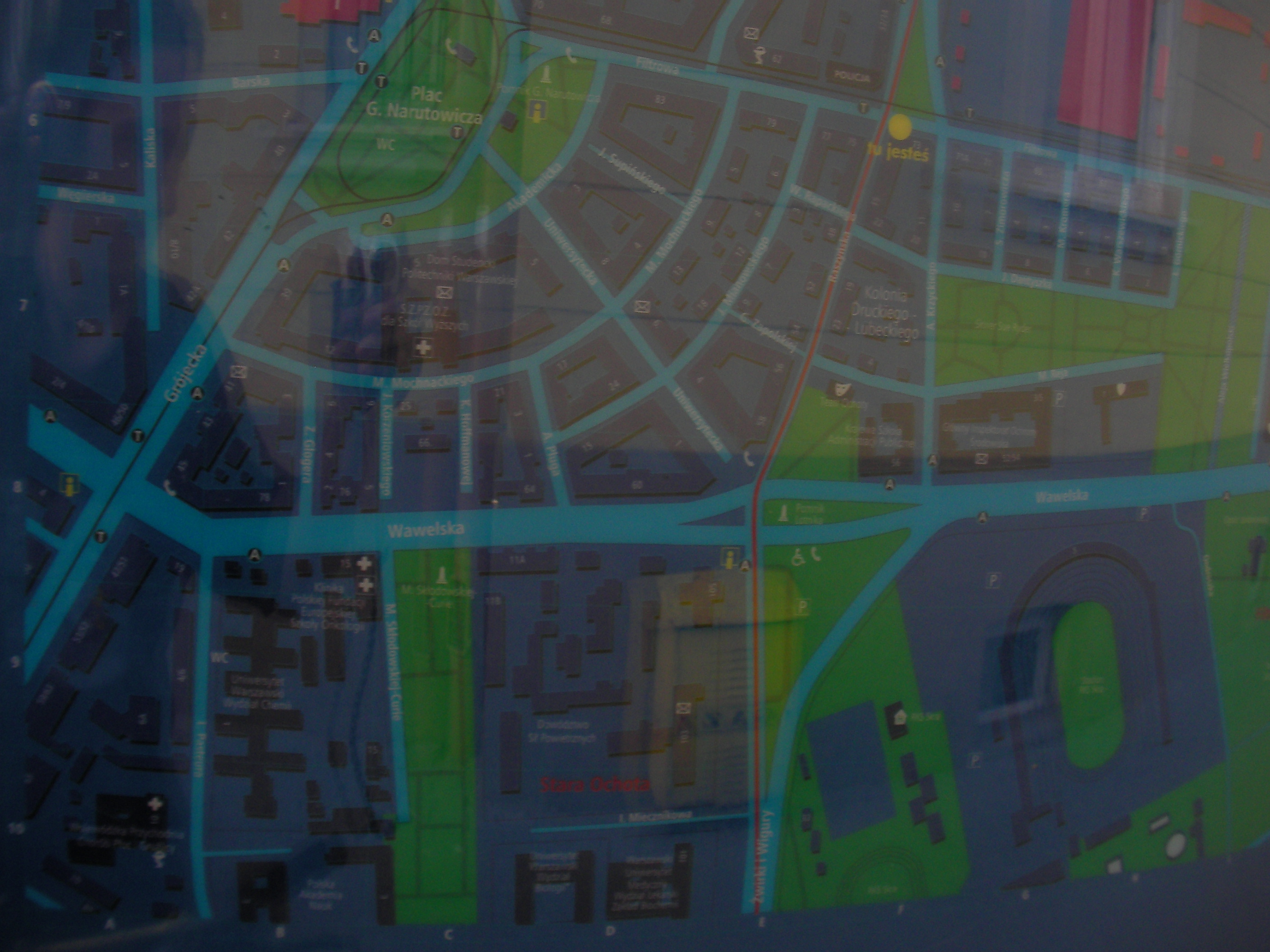
Plac Narutowicza
West of the roundabout aka. square, in front of the church. Approximate location.
- Right-bottom, Bottom, Left, Top-left, Middle, Middle, [Bottom-left, Left, Bottom-right, Right, Top-right, Right, Right, Bottom-left, Left, Bottom-right, Bottom-left, Bottom-right, Right, Middle, Top, Top-left.
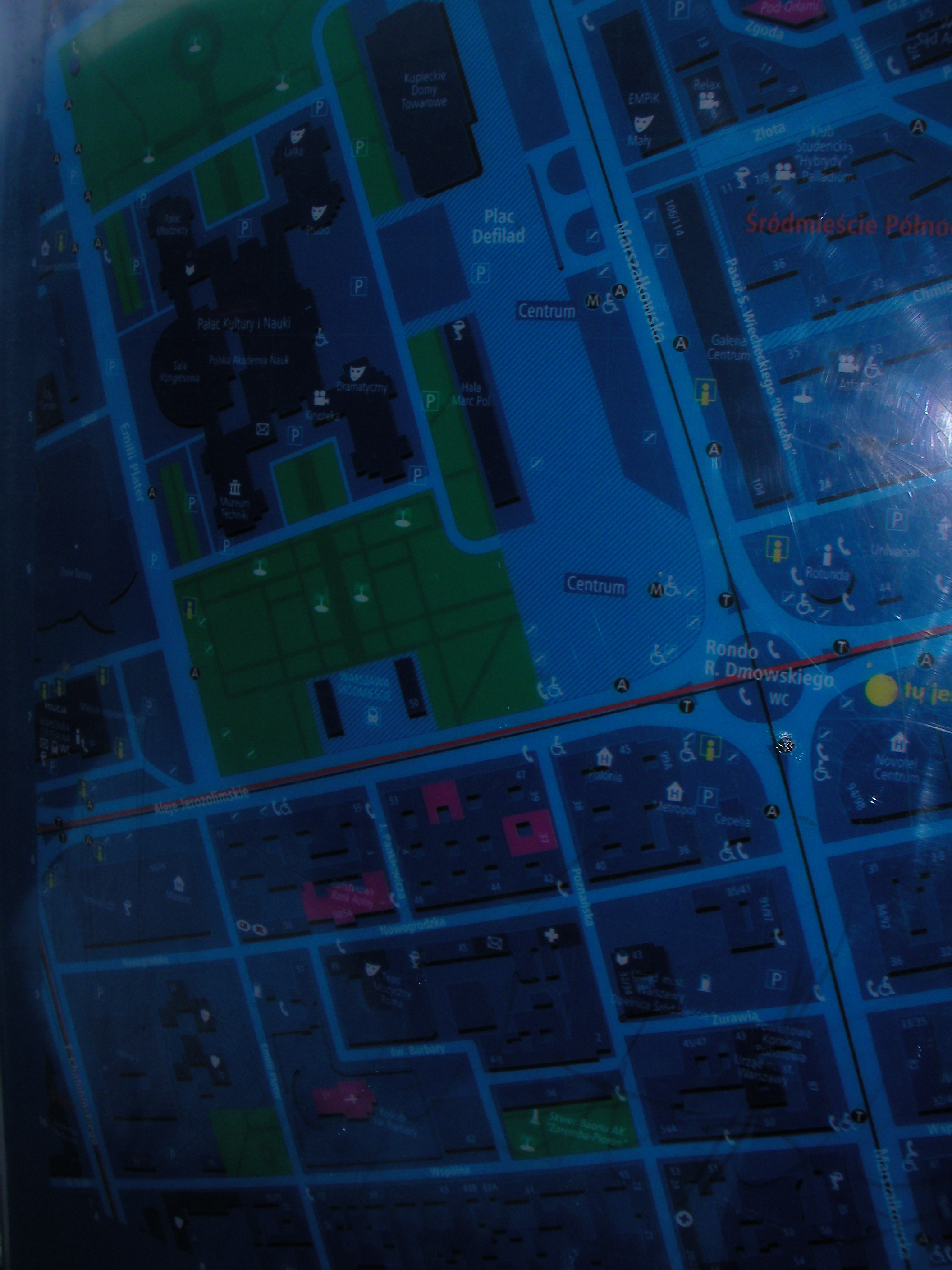
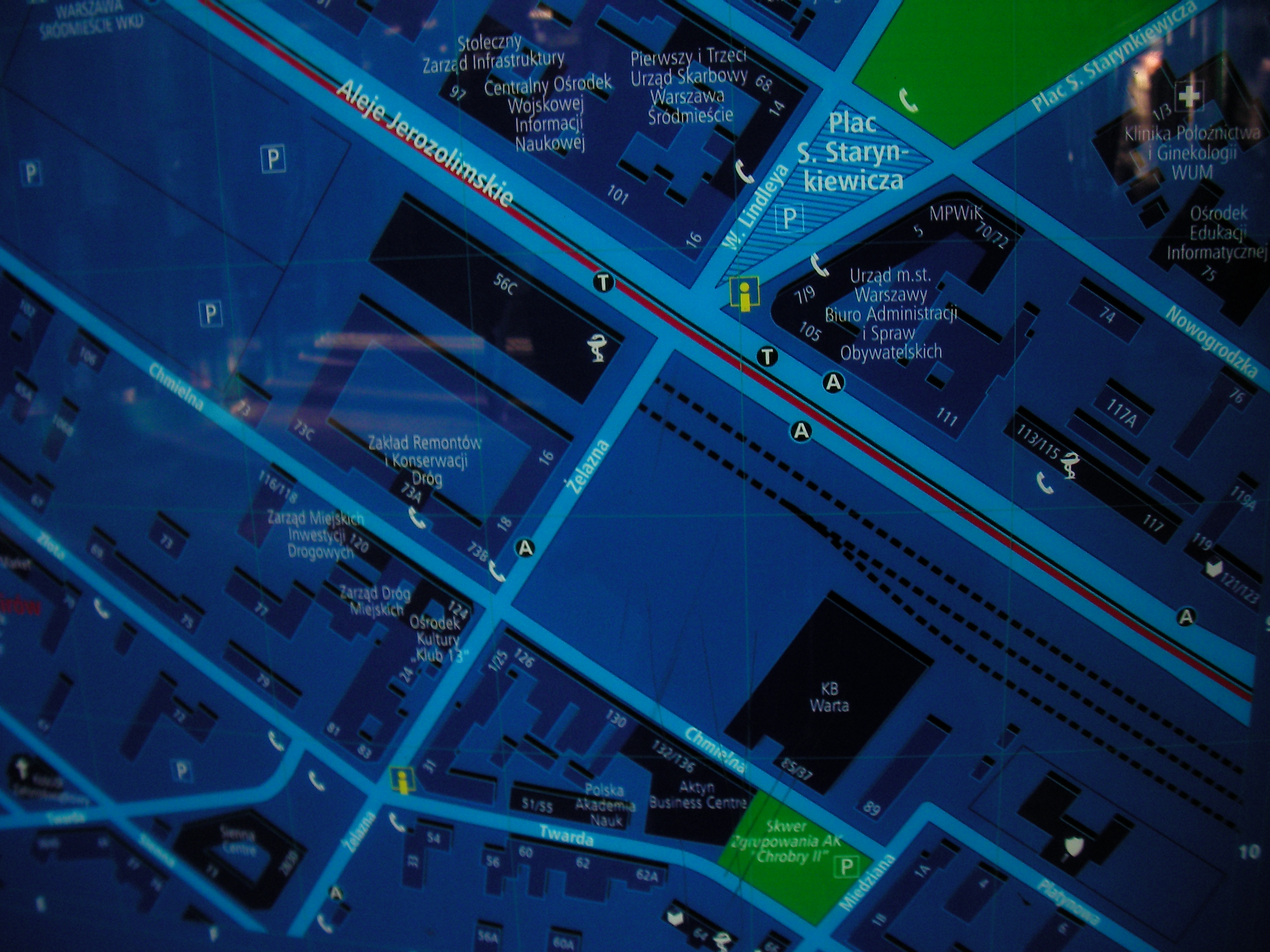
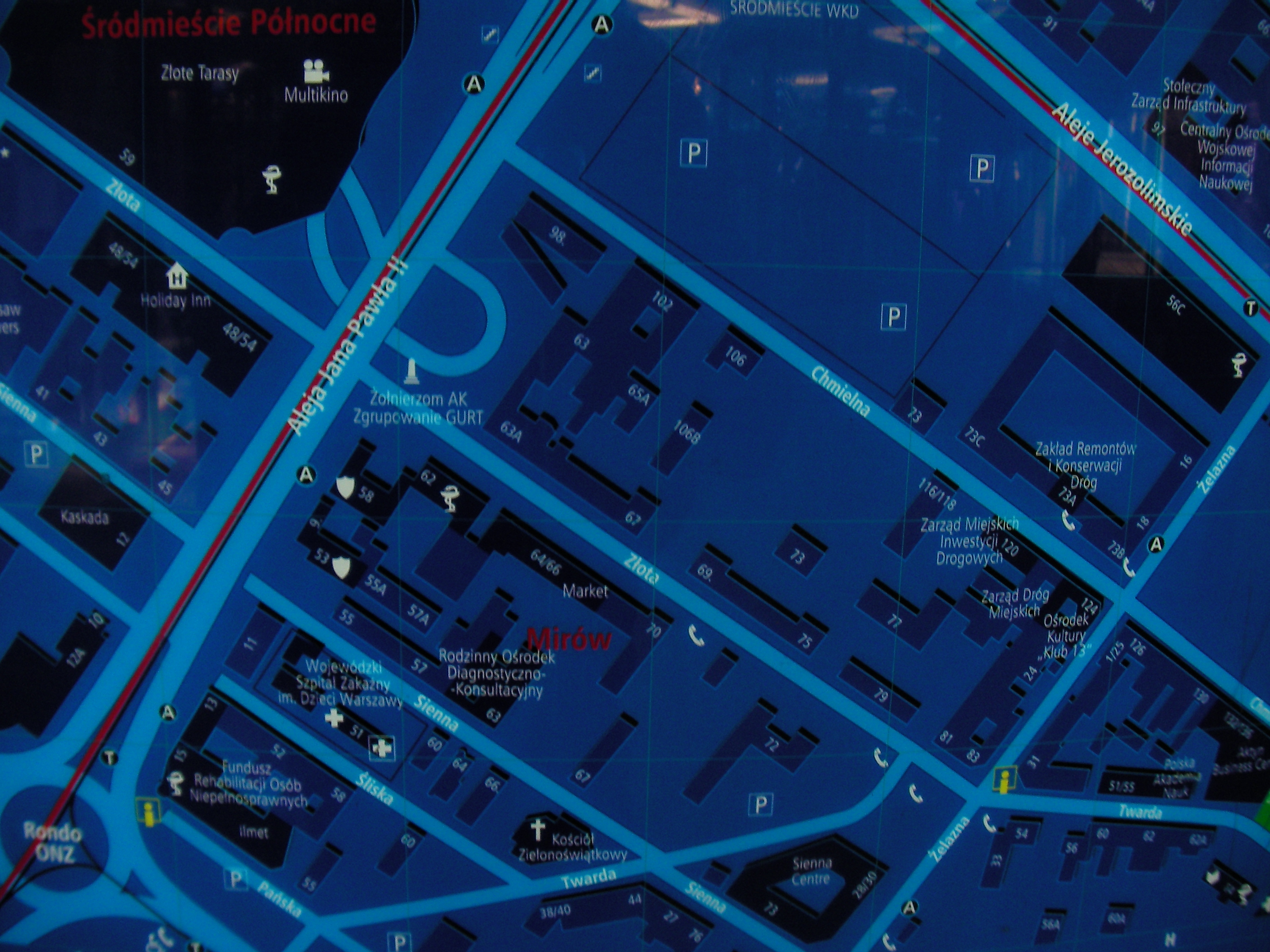
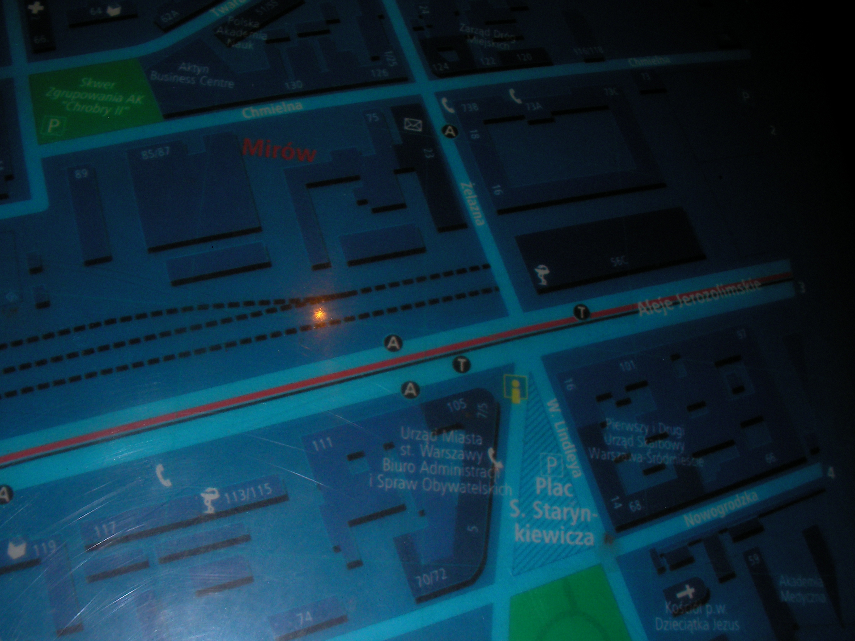
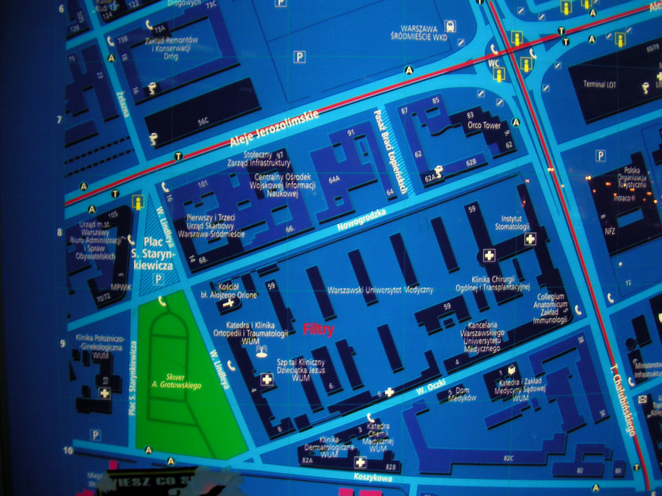
Plac Starynkiewicza
In front of the city hall. Approximate location.
- Very poor night pics. Bottom-right, Right, Top-right, Top-right, Top-left, Left, Bottom-left, Bottom, Left, Top, Top, Bottom-right, Bottom, Left.
Charles De Gaulle roundabout
West of the roundabout, in front of the EMPiK mall. Approximate location.
- Very poor night pics. Bottom-right, Bottom-right, Bottom, Left, Right, Top.
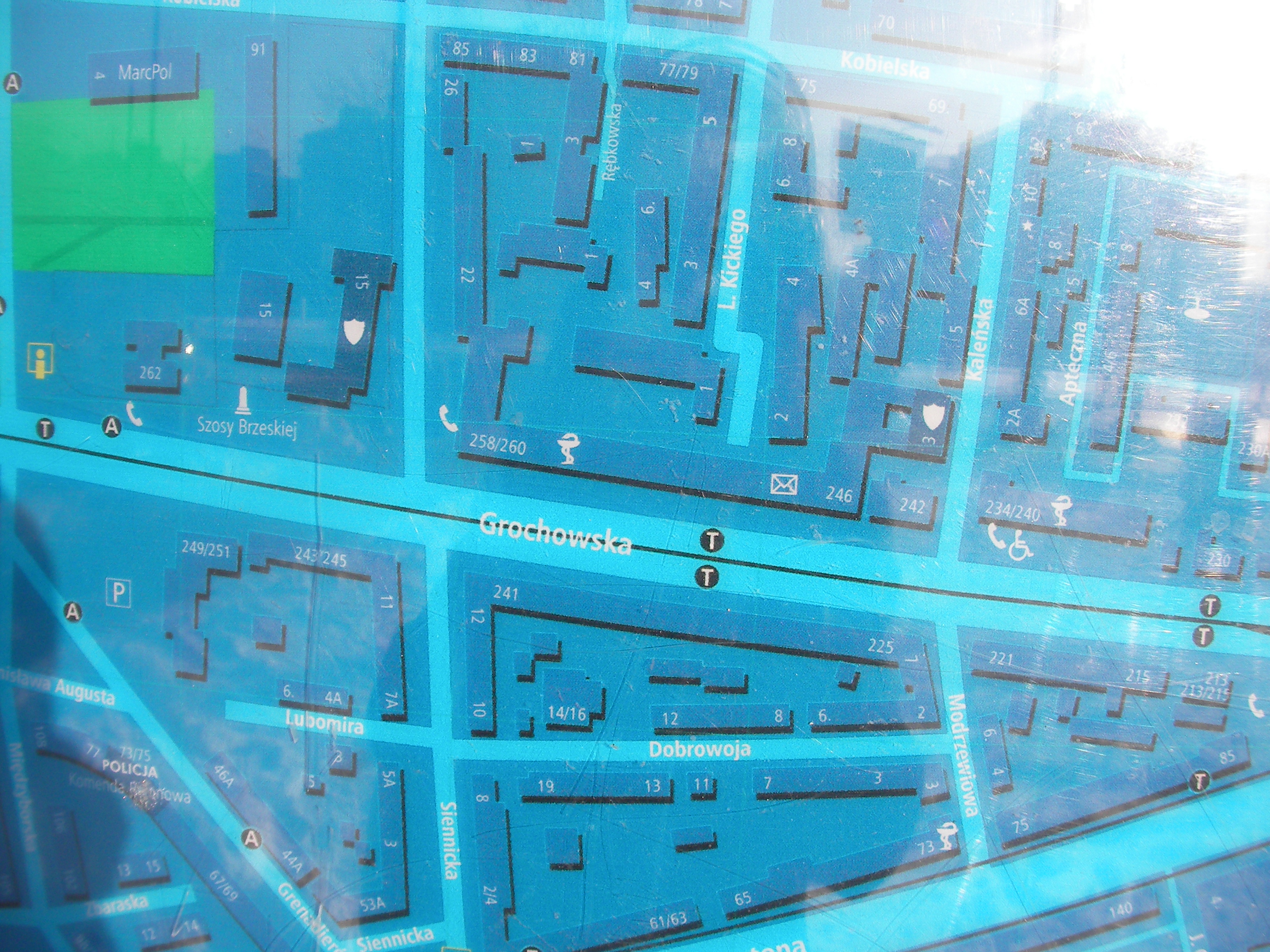
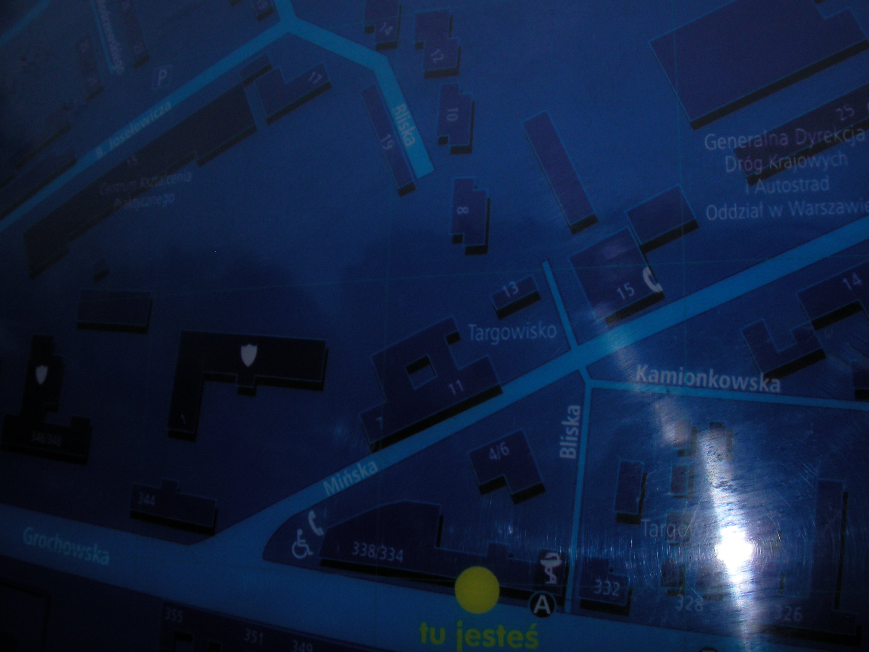
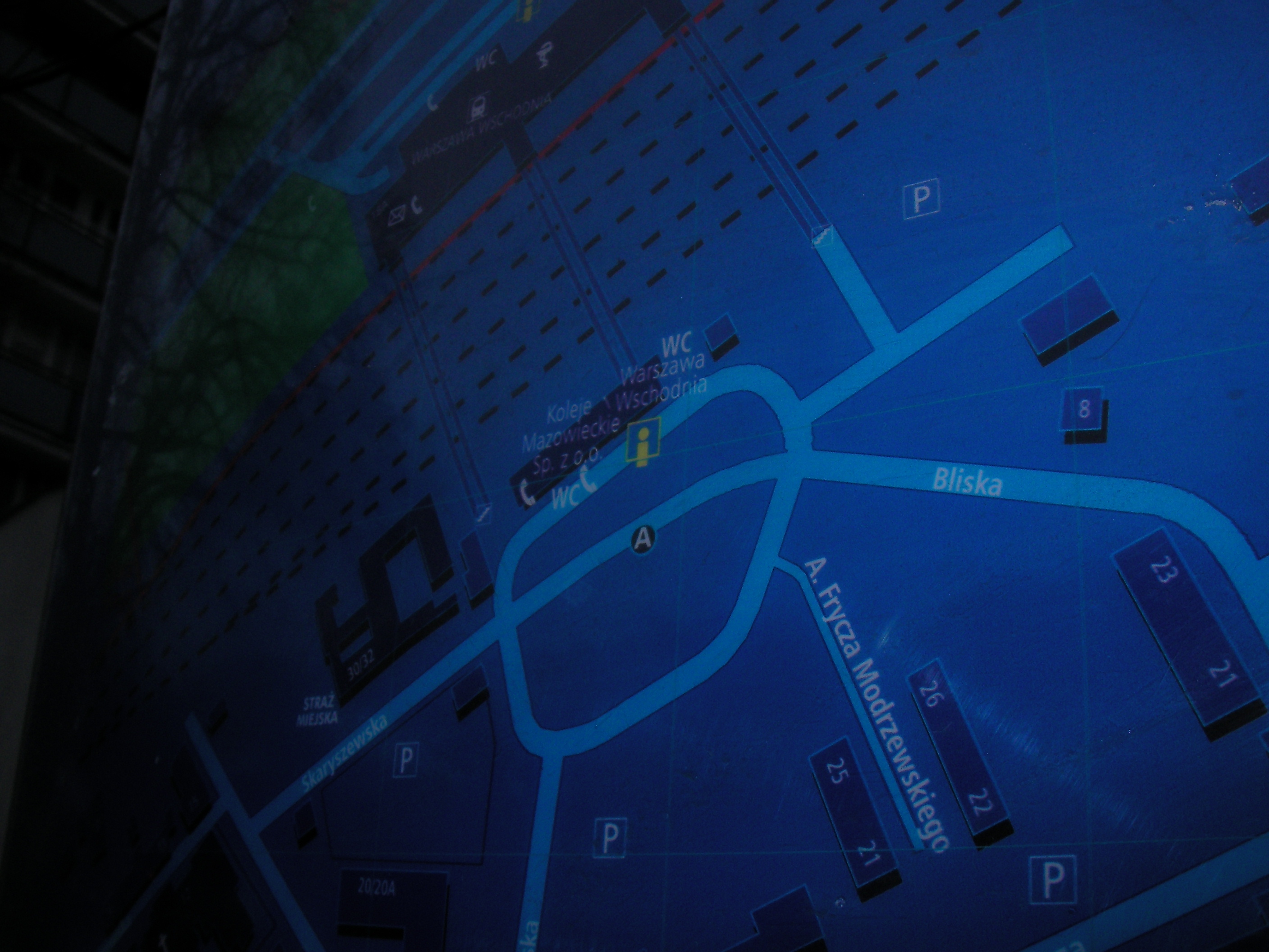
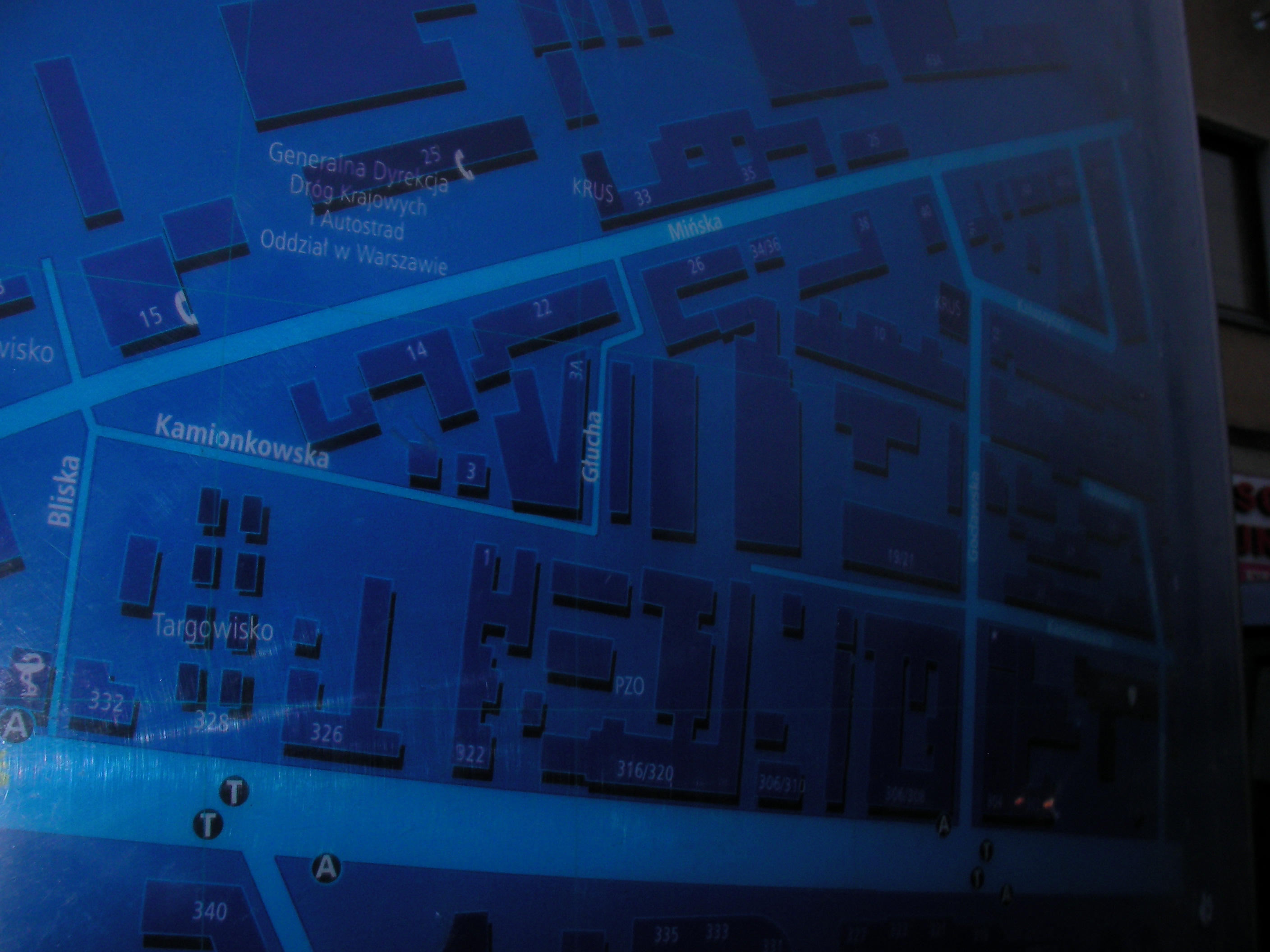
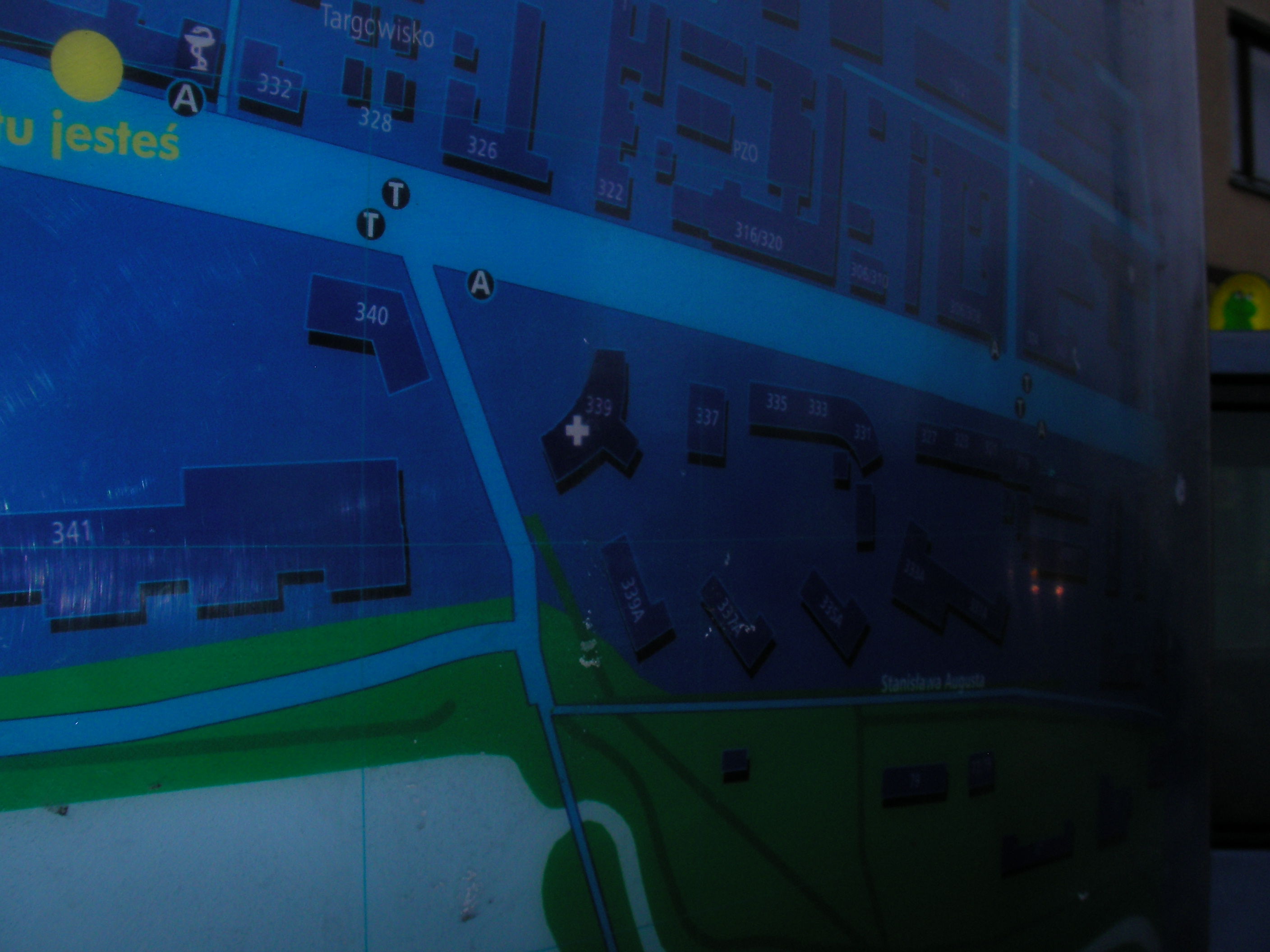
Bliska
Near Bliska tram stop and the crossing of Mińska and Grochowska. Approximate location.
- Right, Bottom-right, Right, Top-right, Top-right, Right, Left, Middle, Top-left, Left, Middle, Top, Top, Top, Right, Middle, Bottom-right, Right, Top, Top-right.
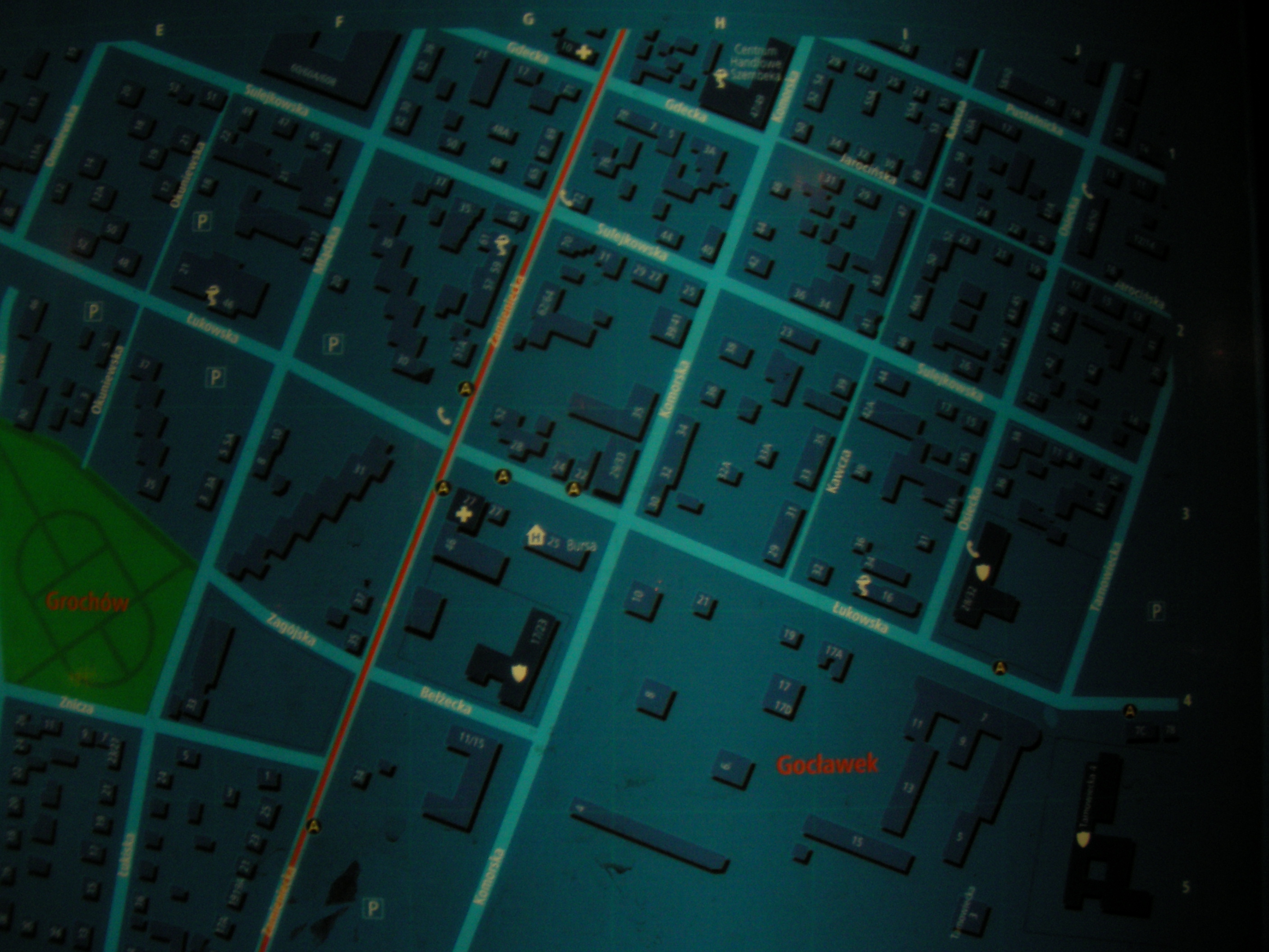
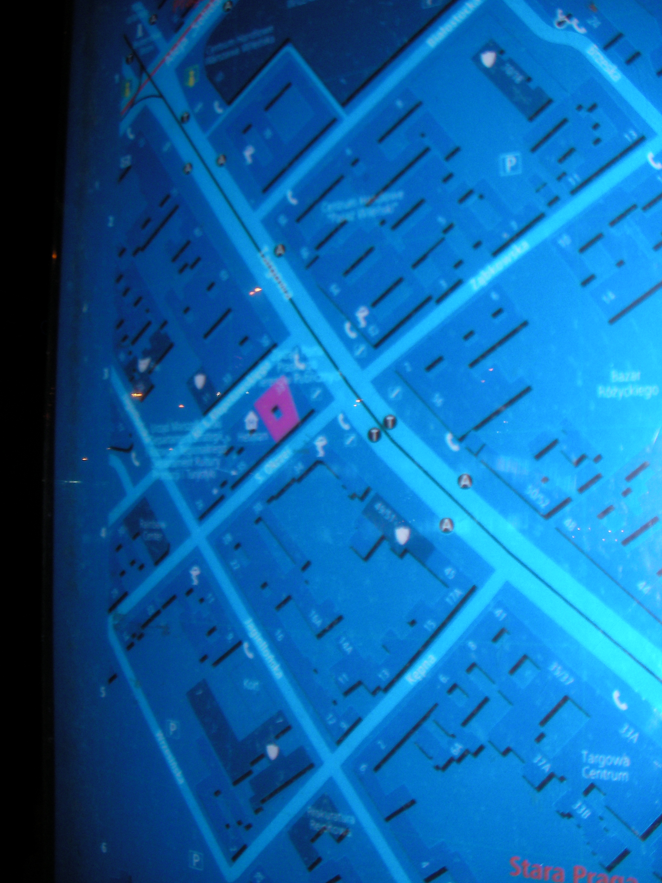
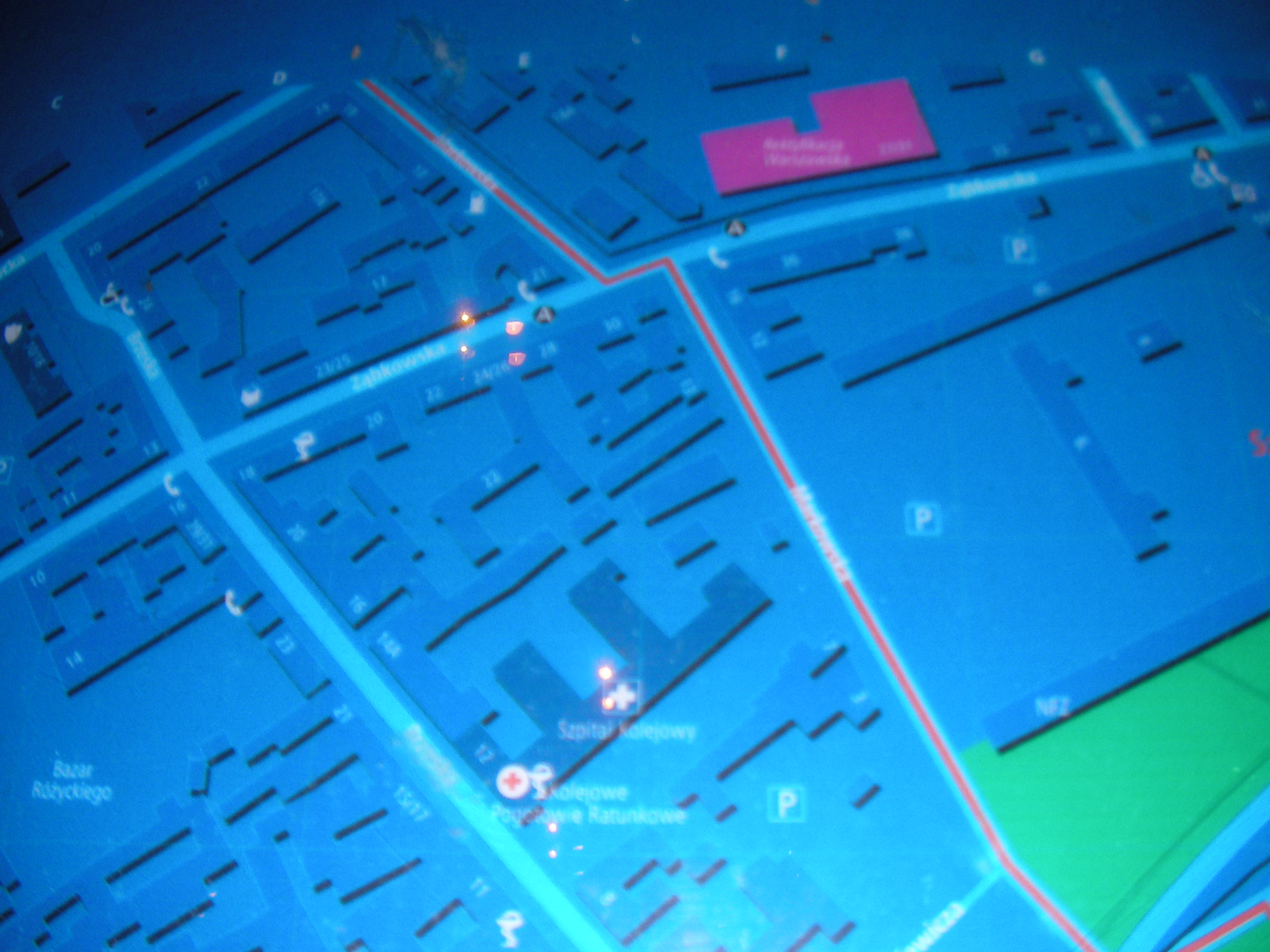
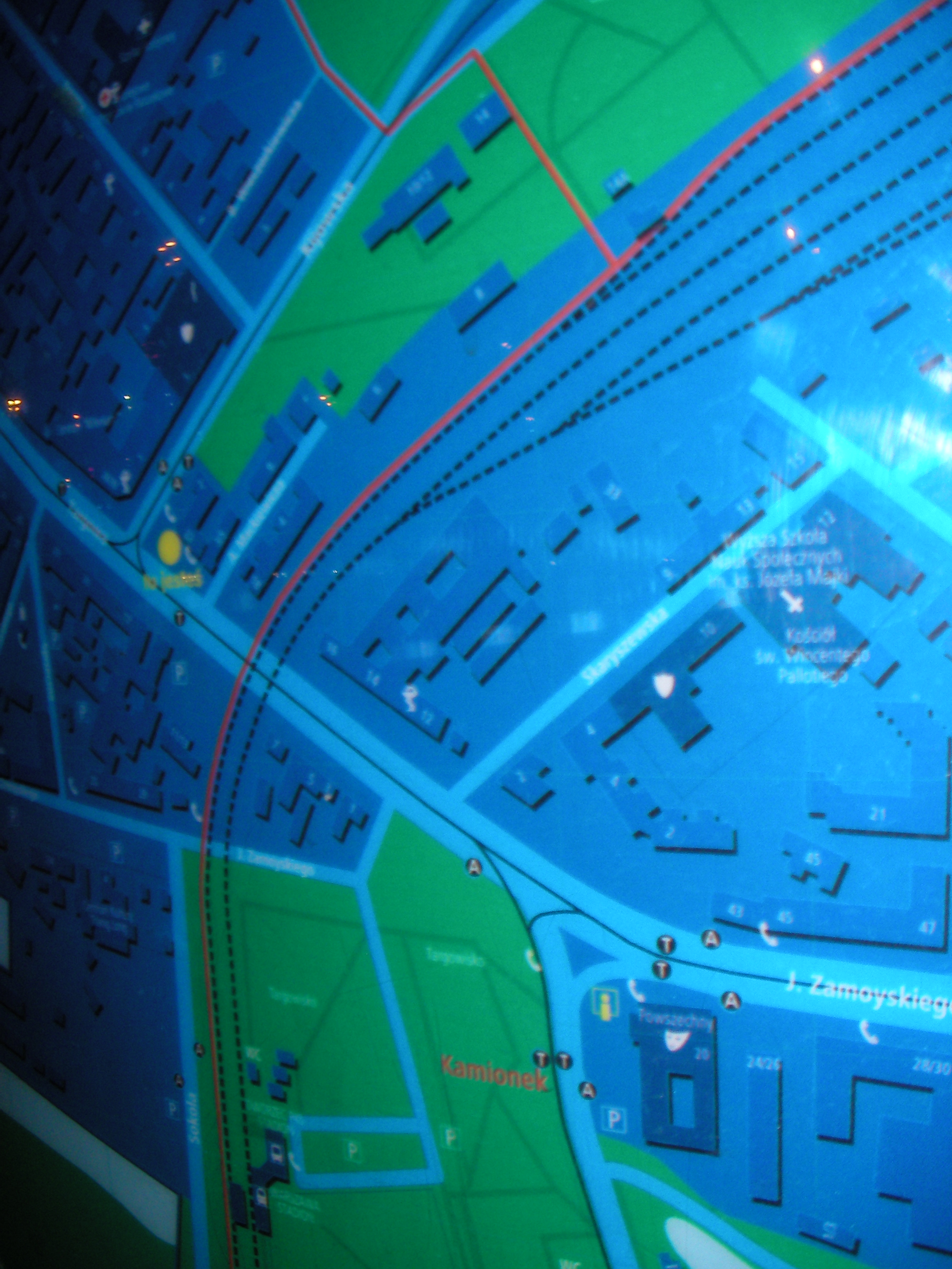
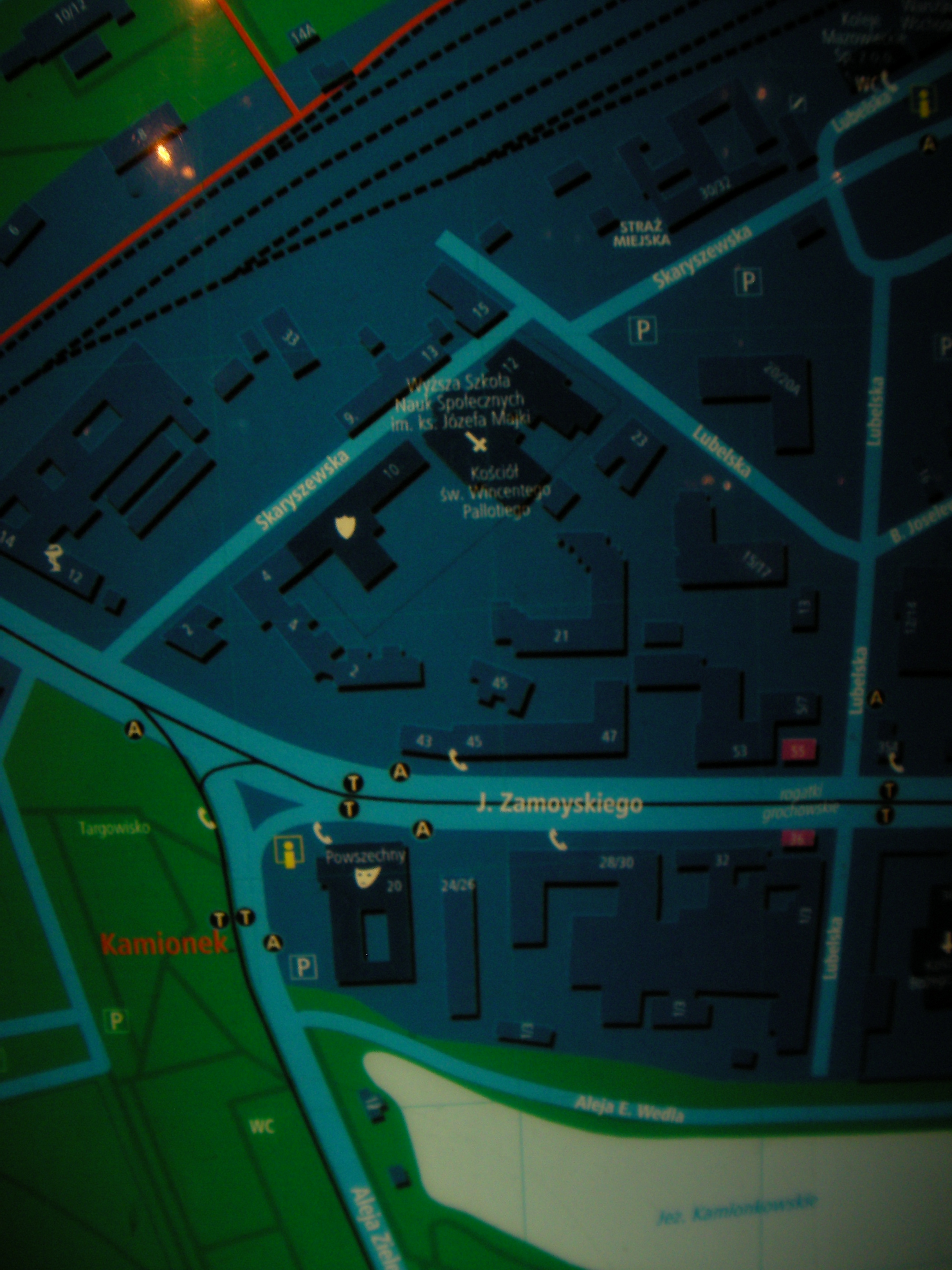
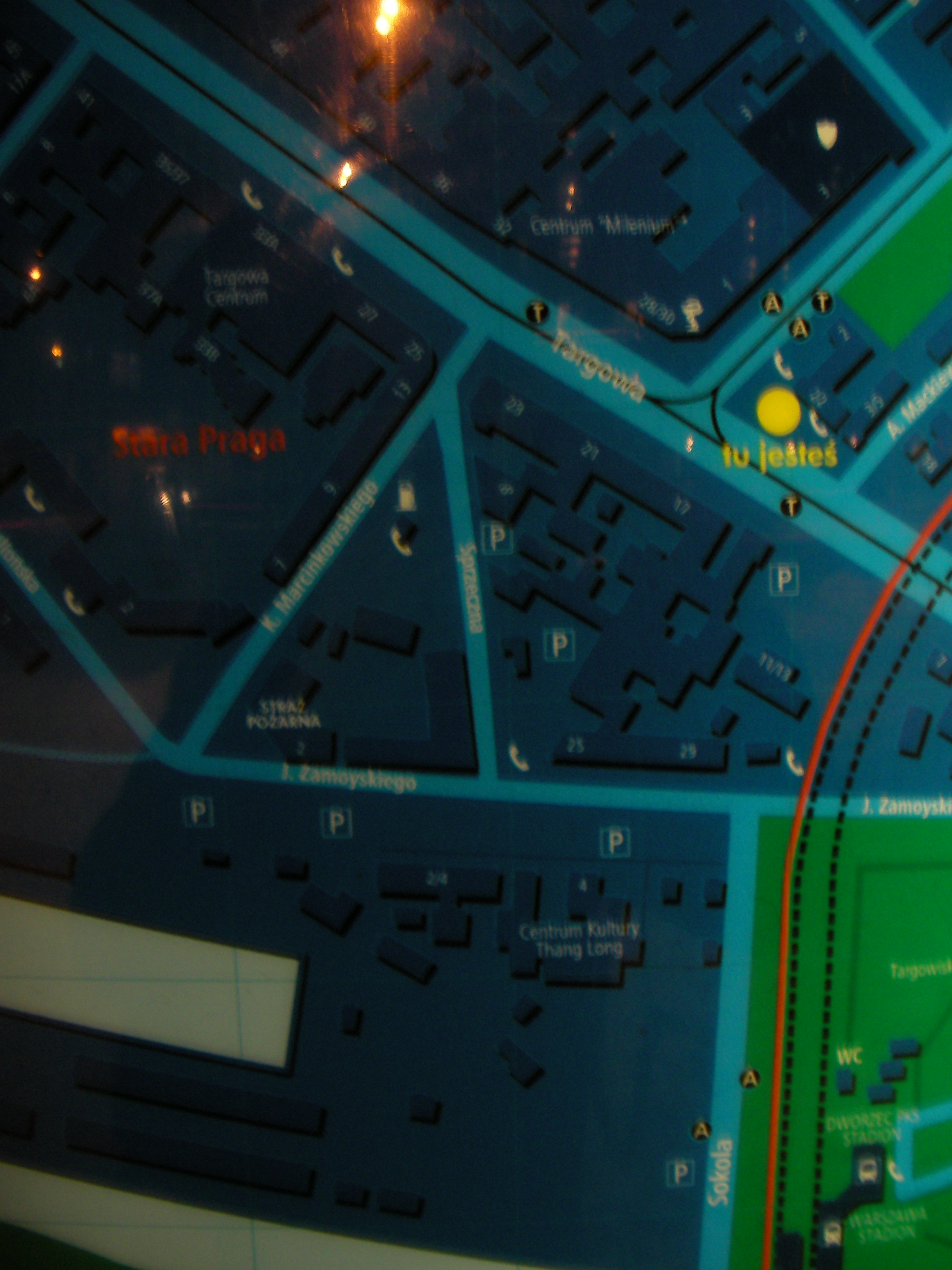
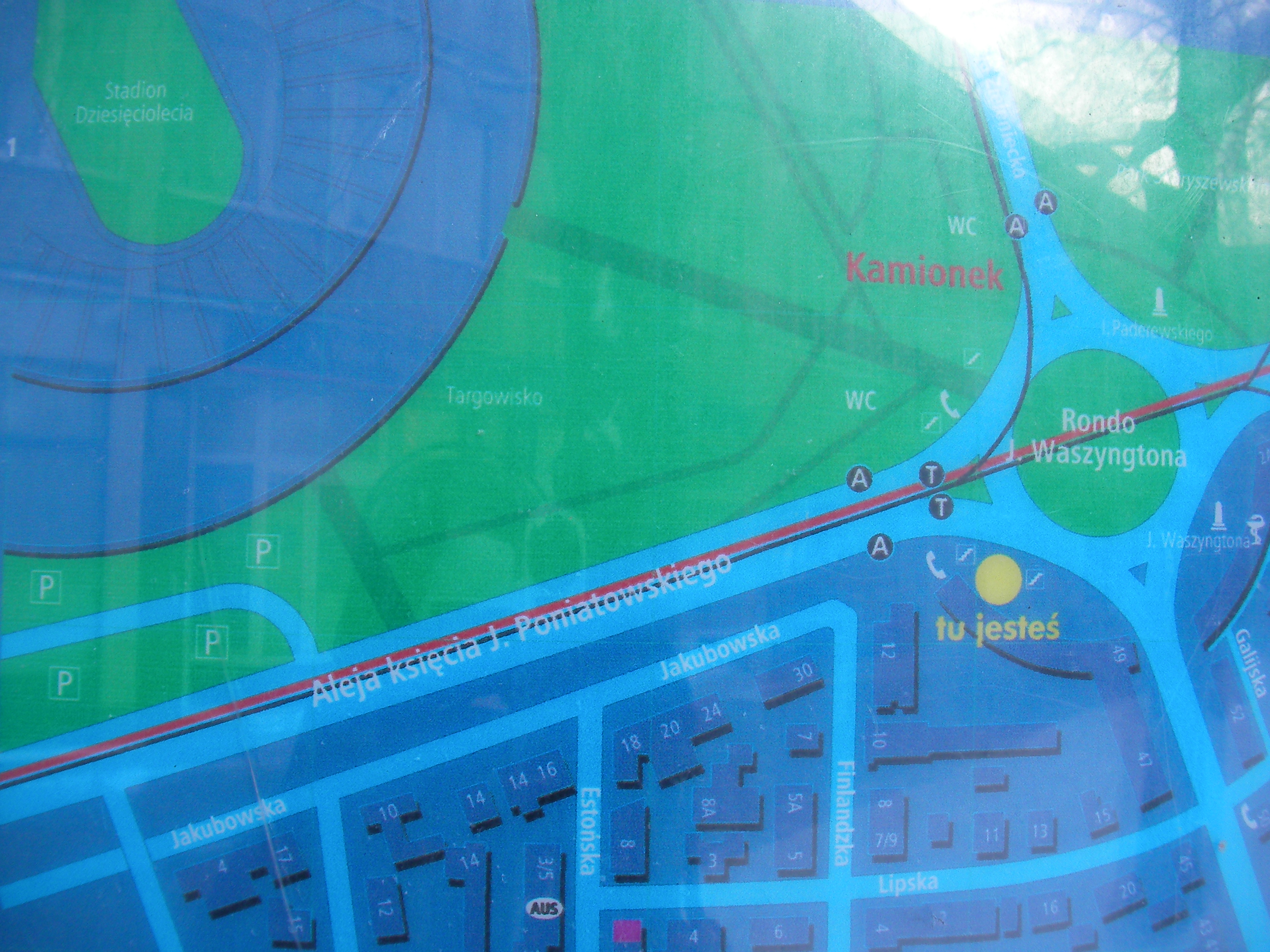
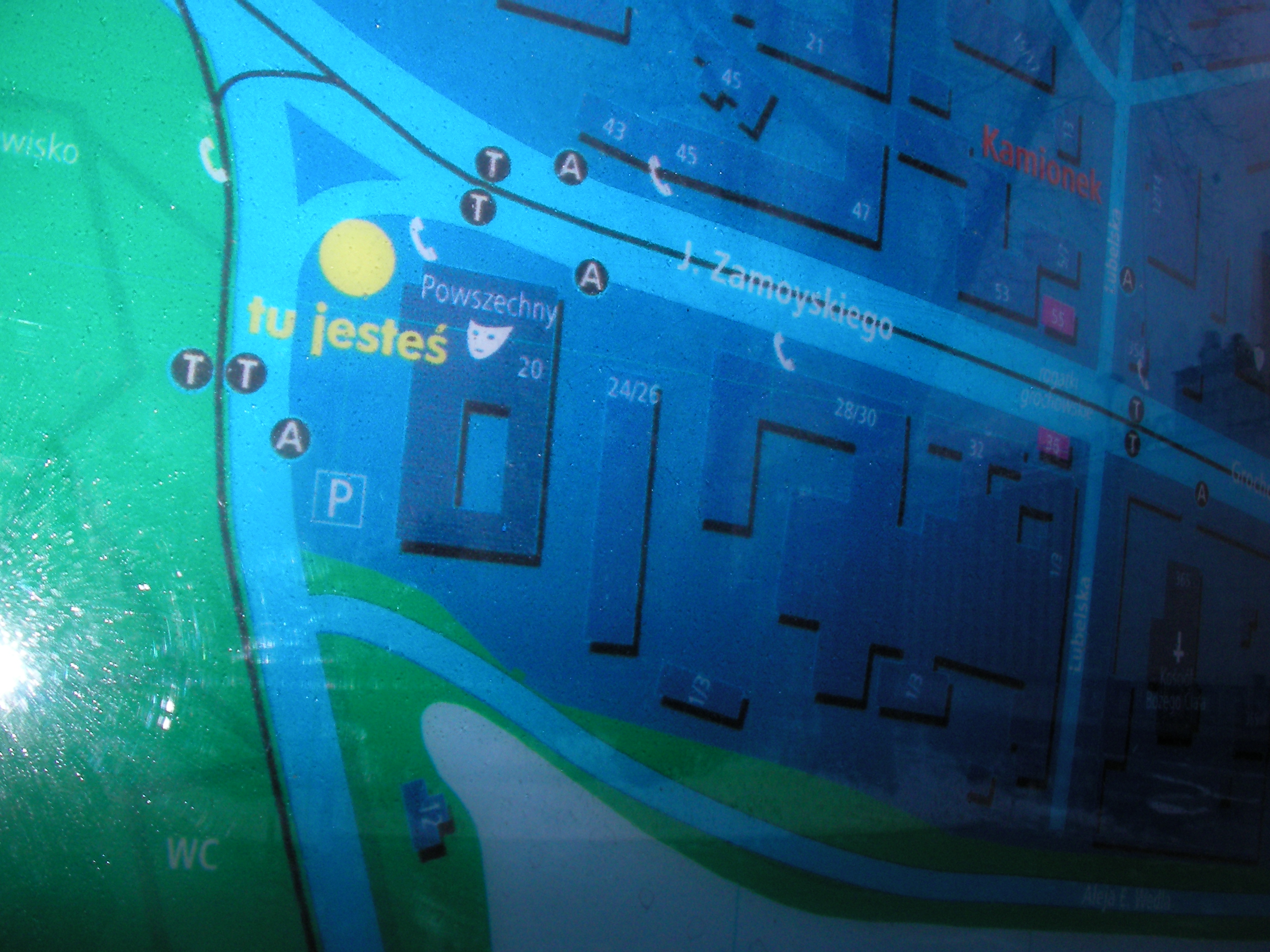
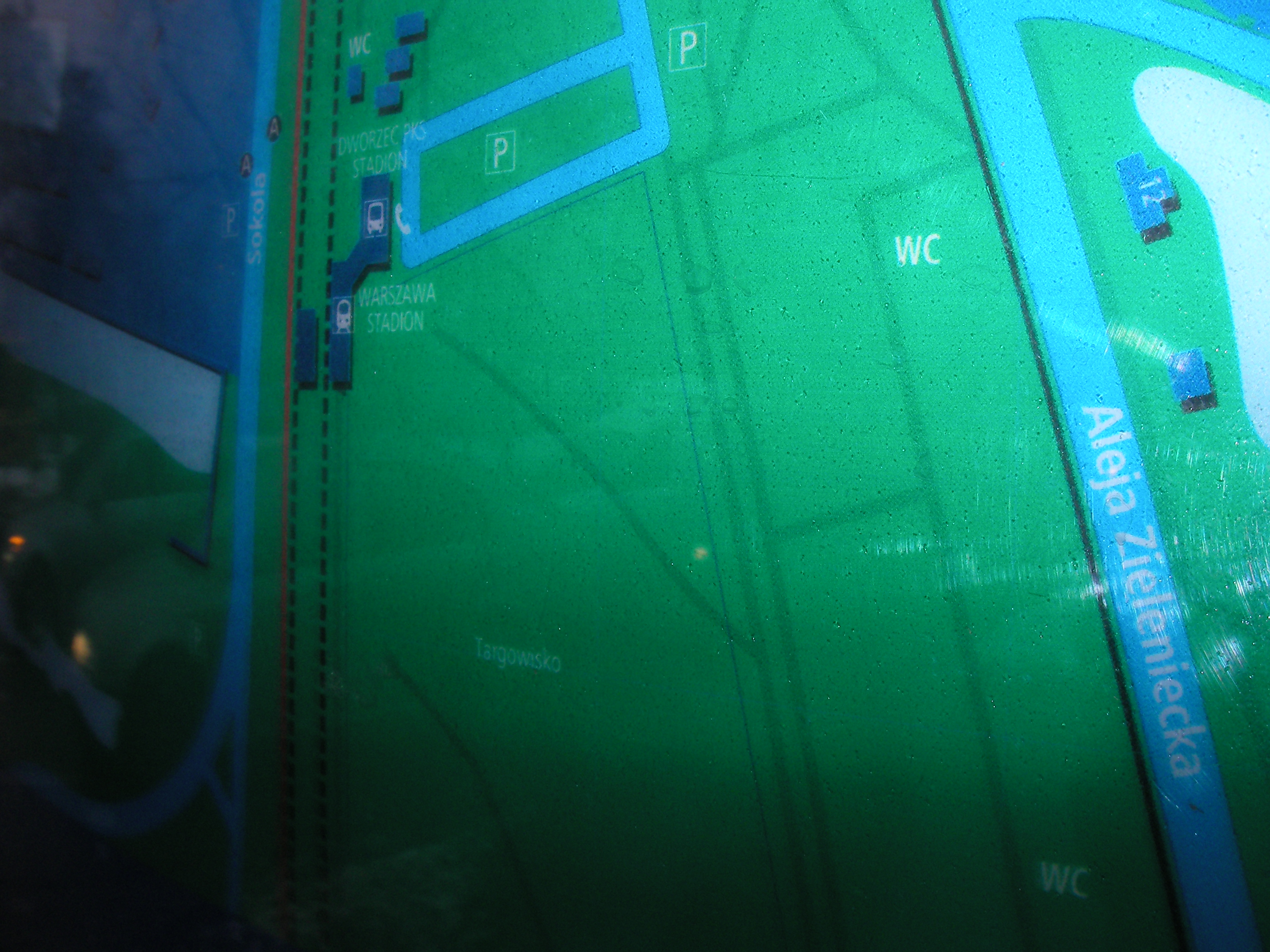
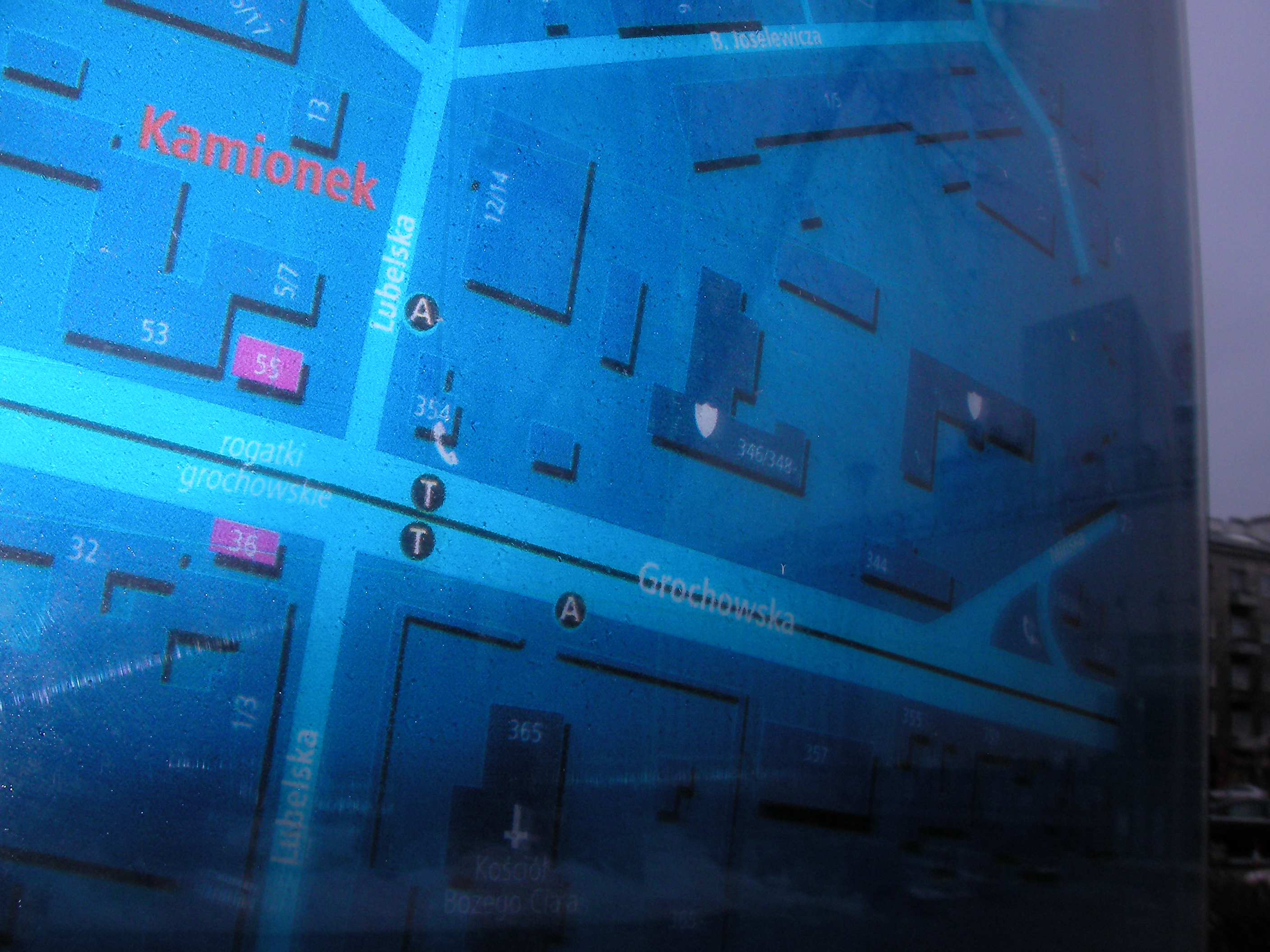
Aleja Zieleniecka
North end of Zamieniecka where it reaches Grochowska. In front of Teatr Powszechny. Approximate location.
- Middle, Top, Left, Top-left, Left, Bottom-left, Top, Middle, Left, Left, Left, Left, Top, Top, Top-middle, Right, Top-right.
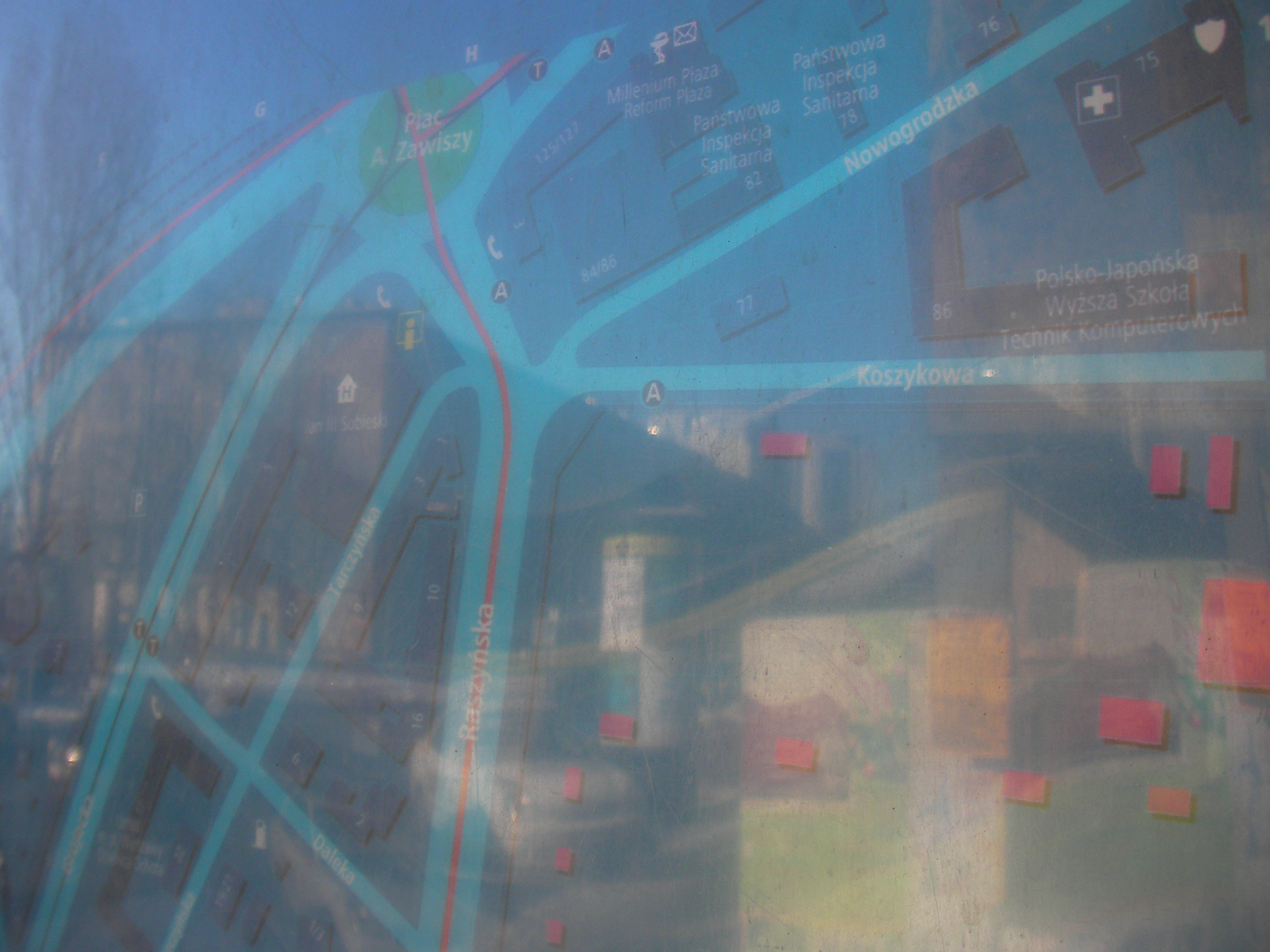
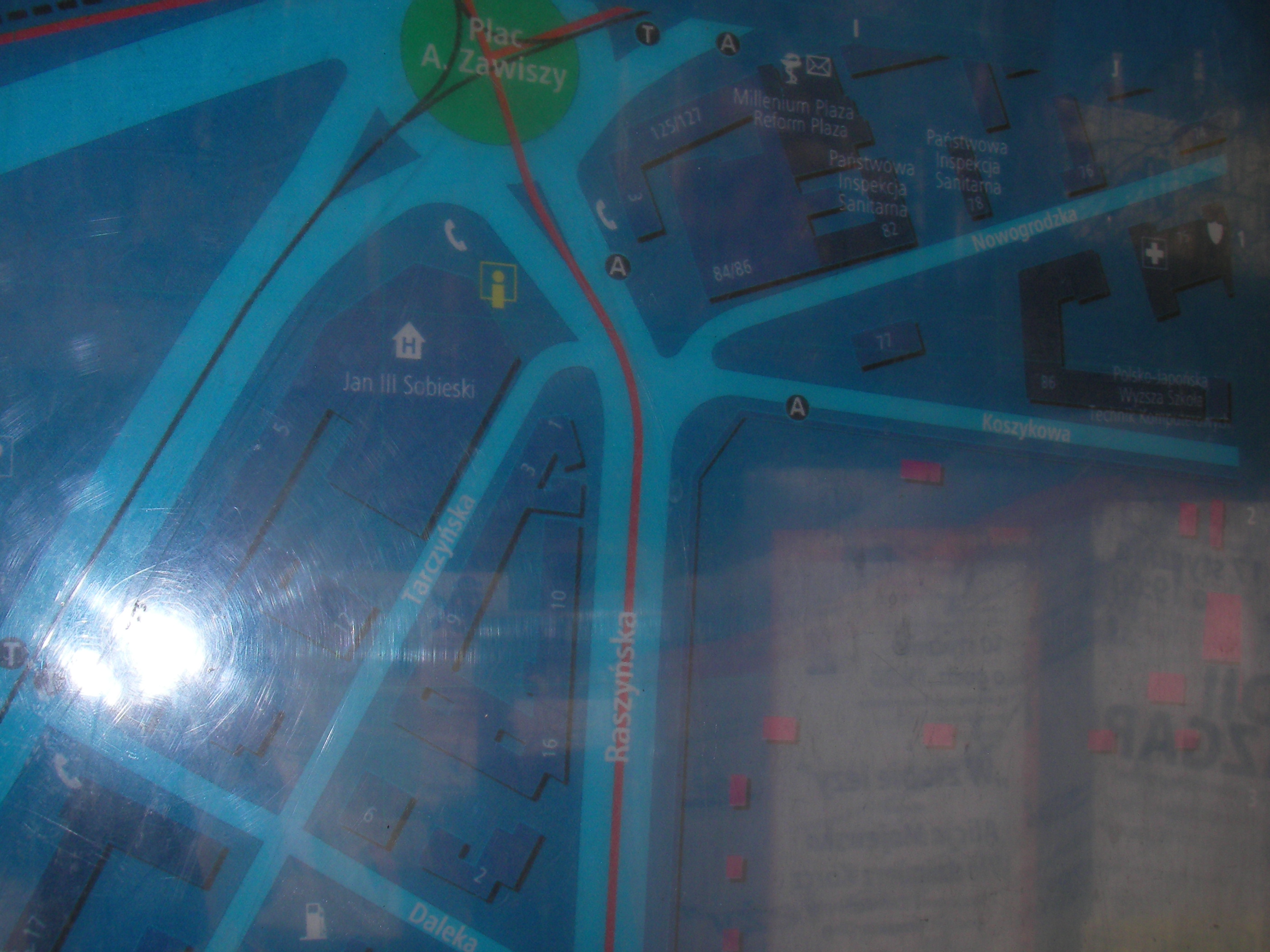
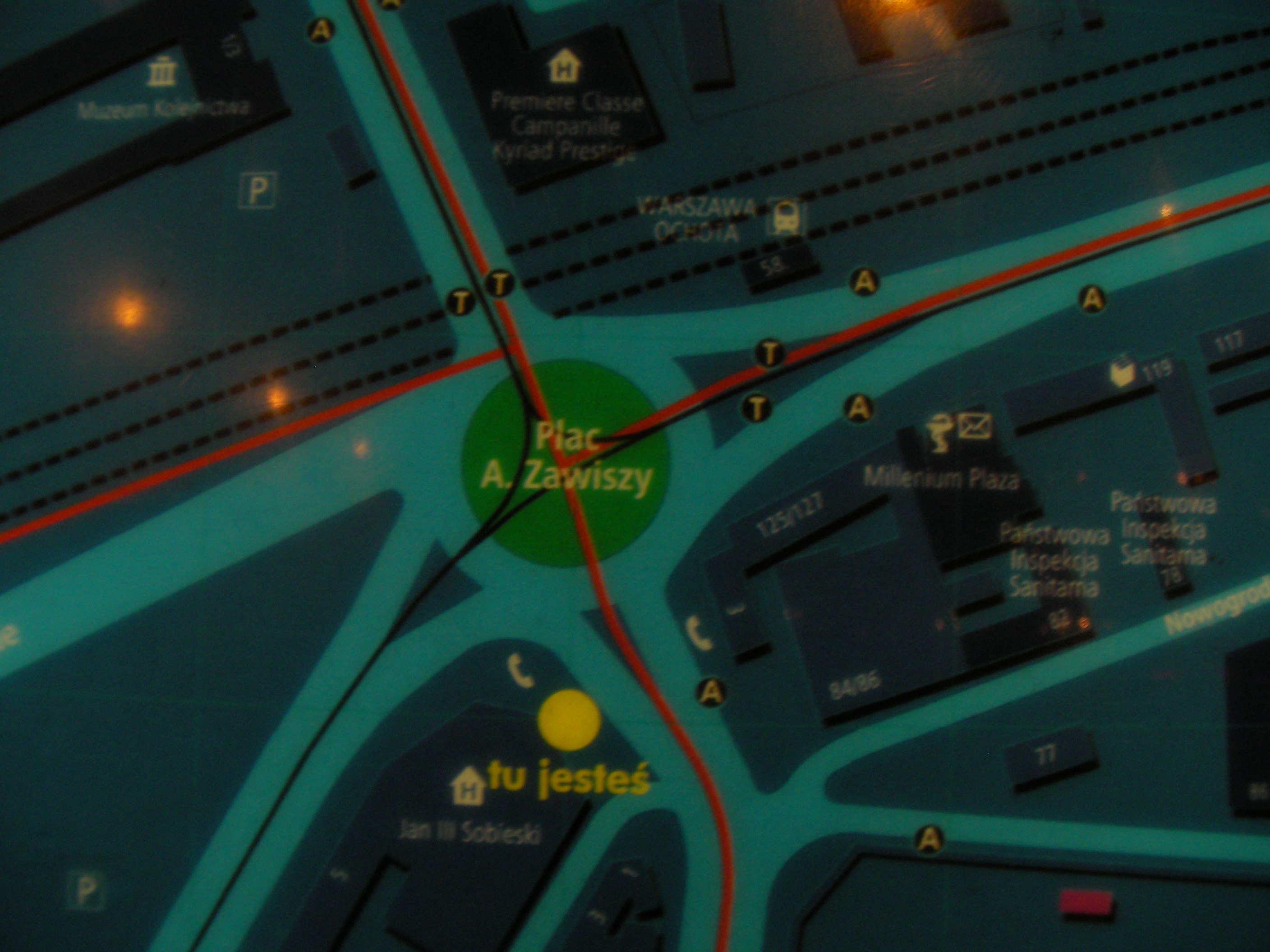
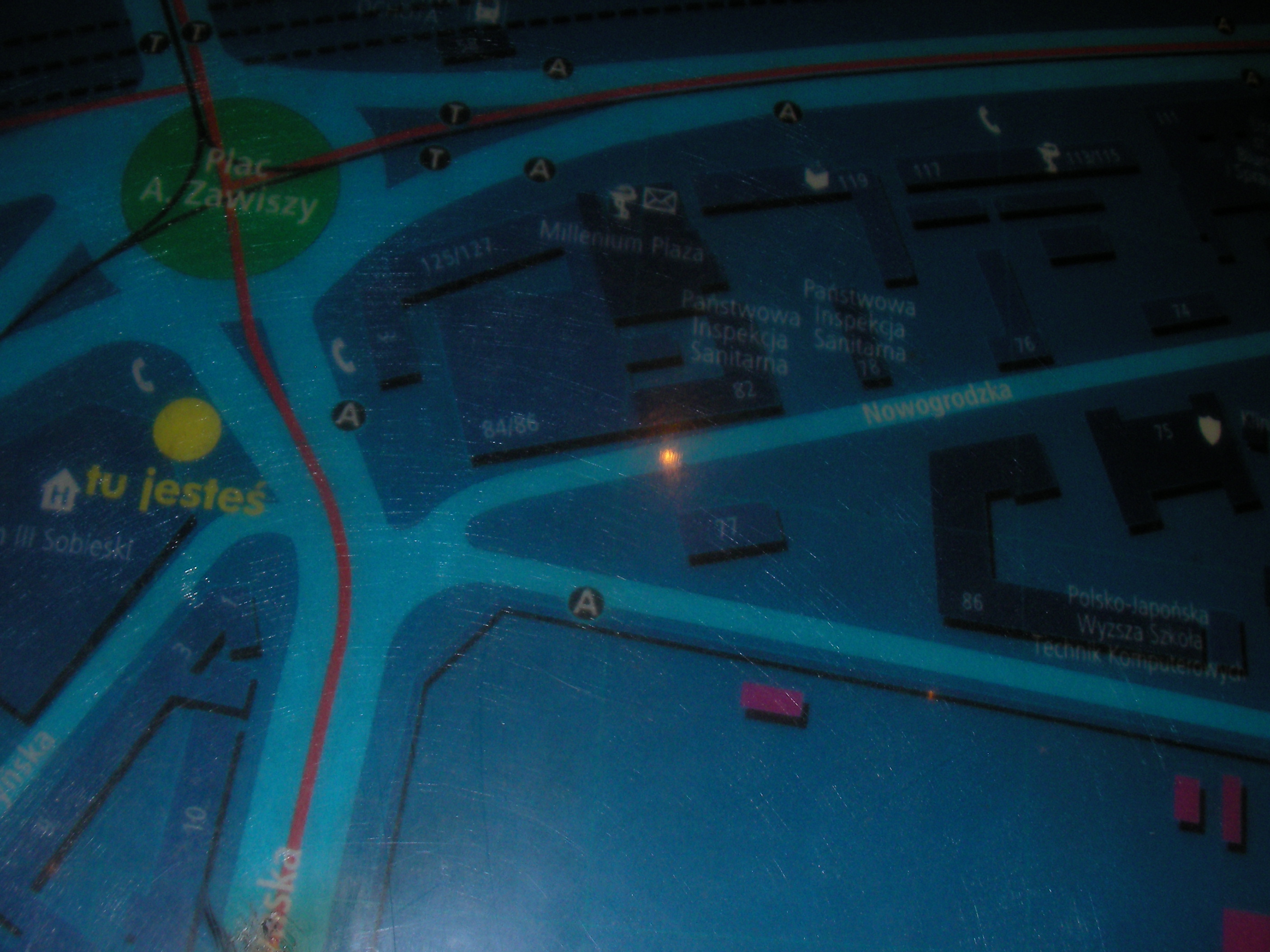
Plac Zawiszy
South of the roundabout aka. square, in front of Sobieski hotel and near the bus stop. Approximate location.
- Very poort night pics only. Bottom-right, Bottom, Bottom-left, Left, Middle, Bottom, Middle, Left, Top-left, Top, Top, Middle, Right.
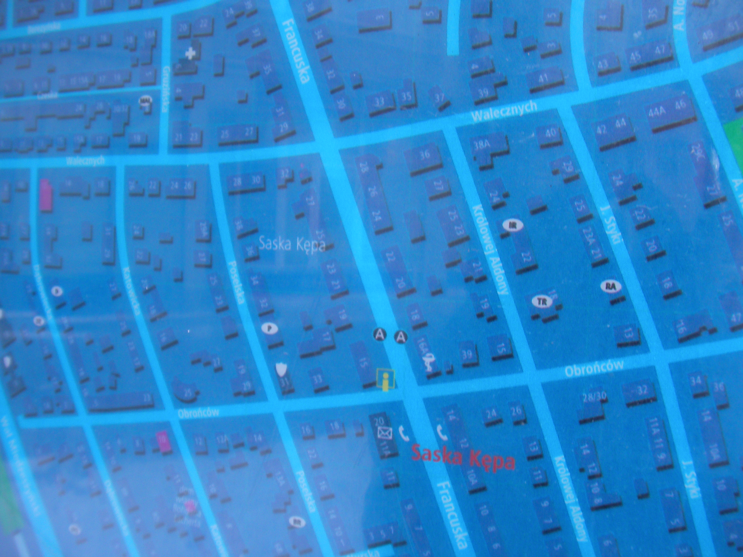
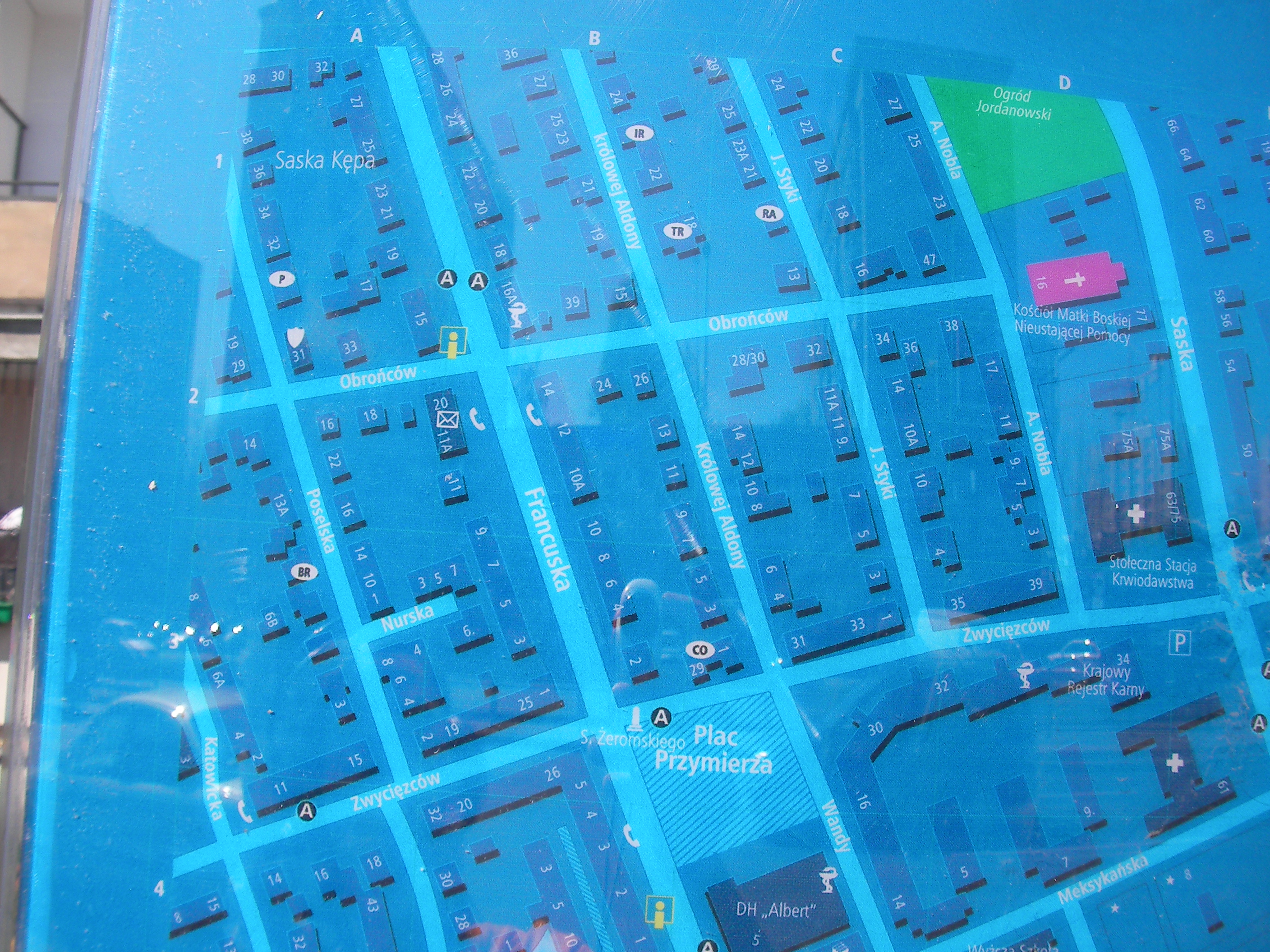
Obrońców
The crossing of Francuska & Obróńców streets in Saska Kępa. Approximate location.
- Bottom-right, Bottom, Bottom-left, Right, Middle, Left, Top-right, Top, Top-left.
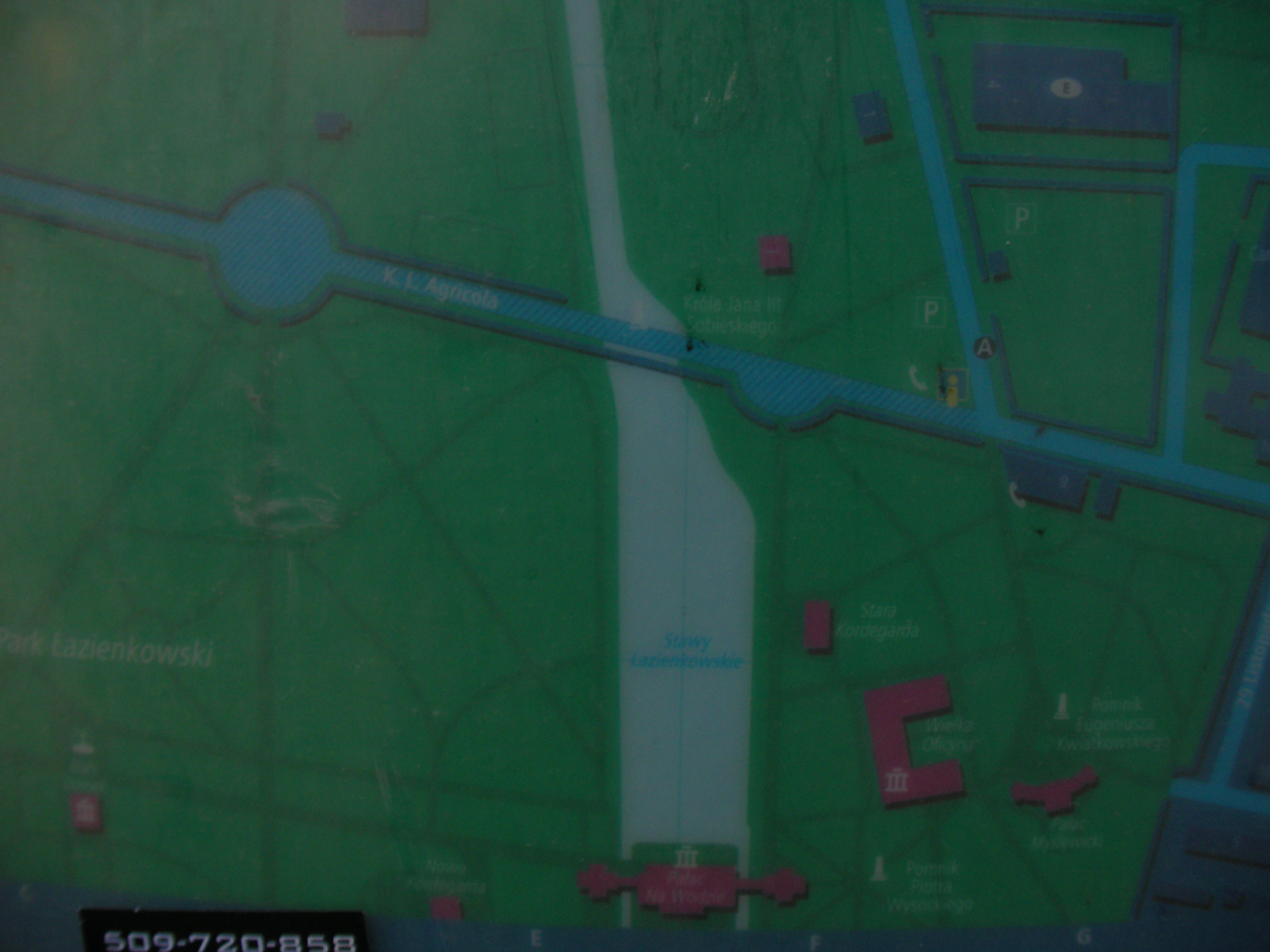
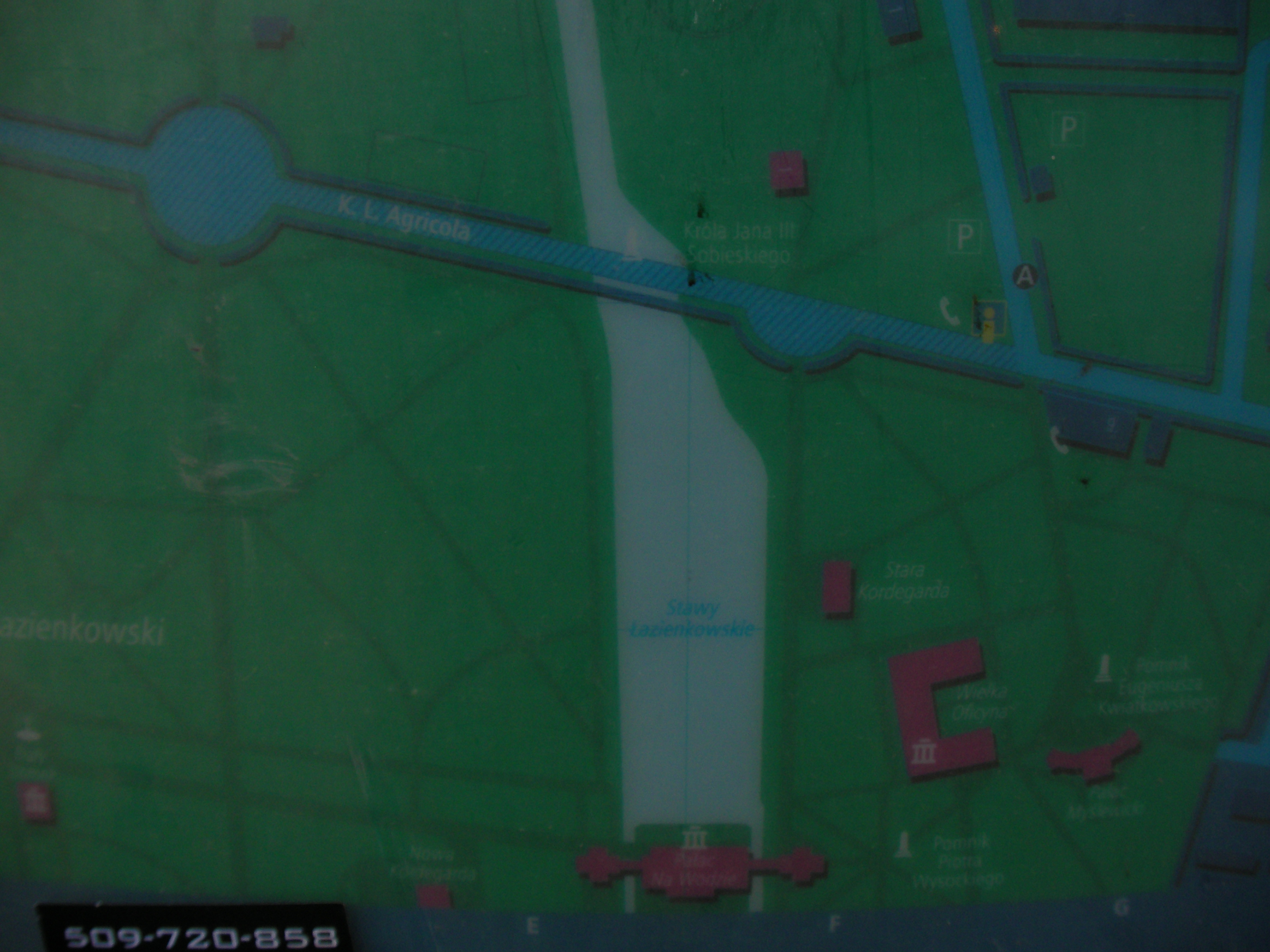
Myśliwiecka
The crossing where Myśliwiecka, Rozbrat and Łazienkowska streets meet. Approximate location.
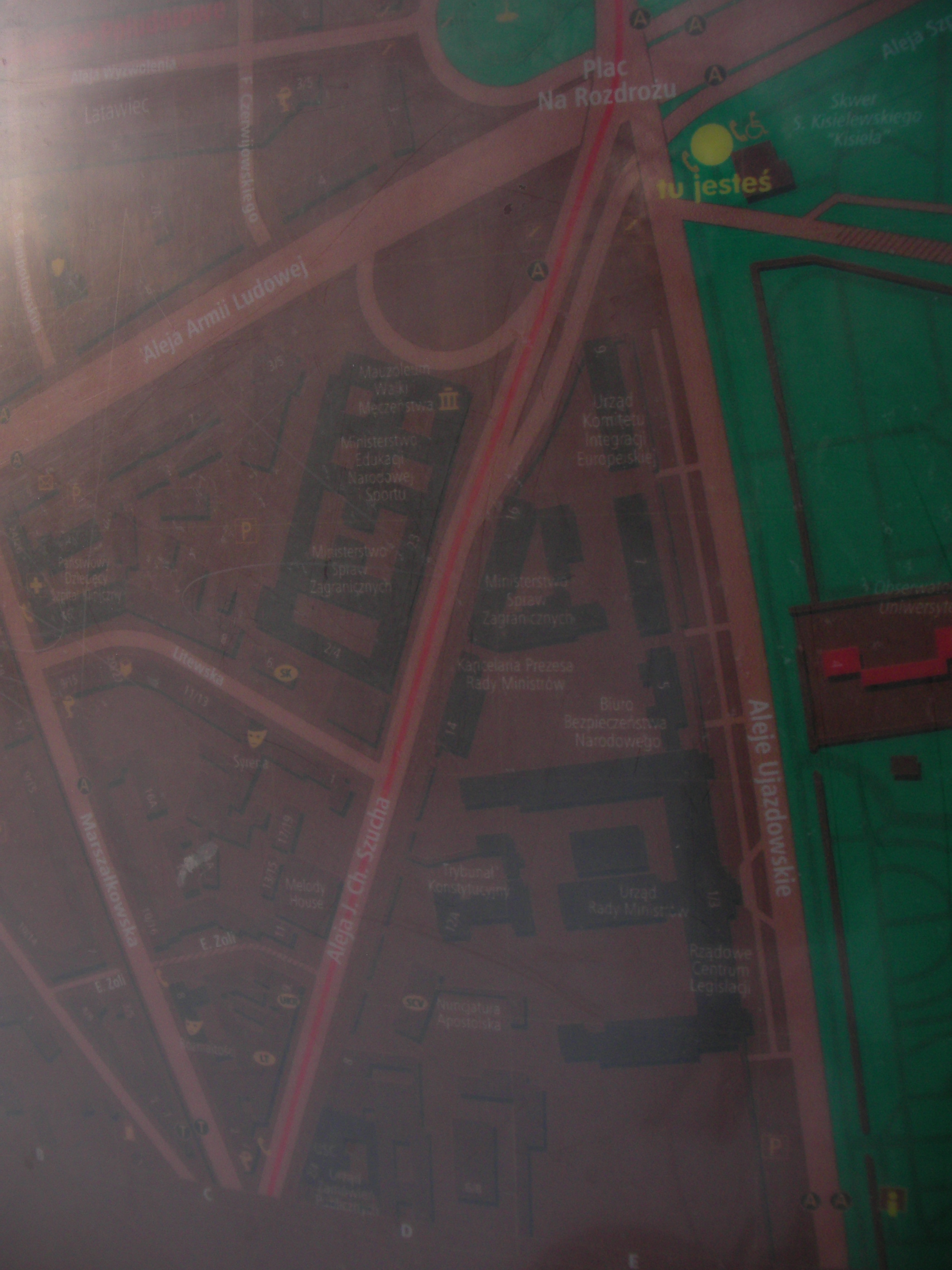
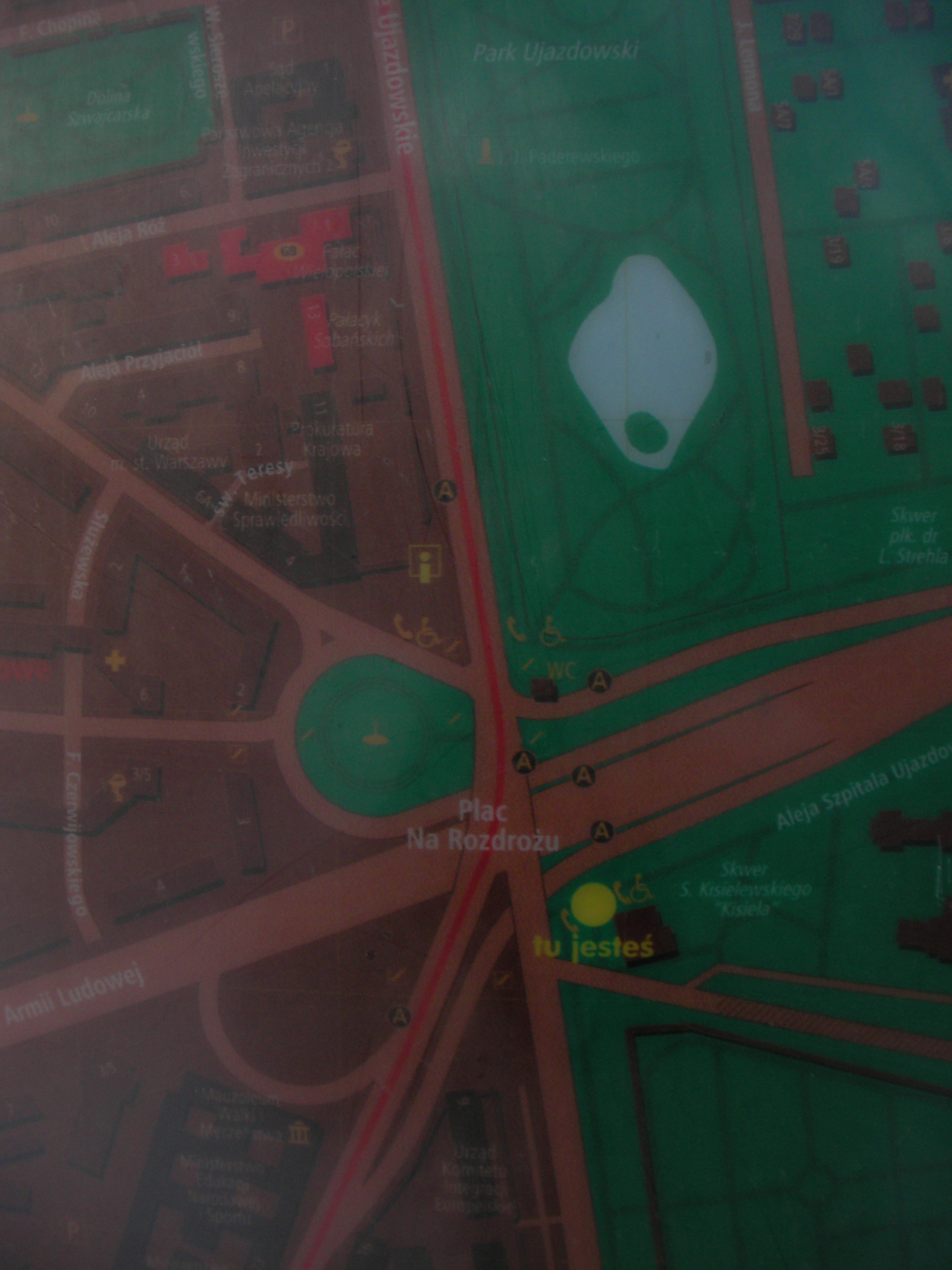
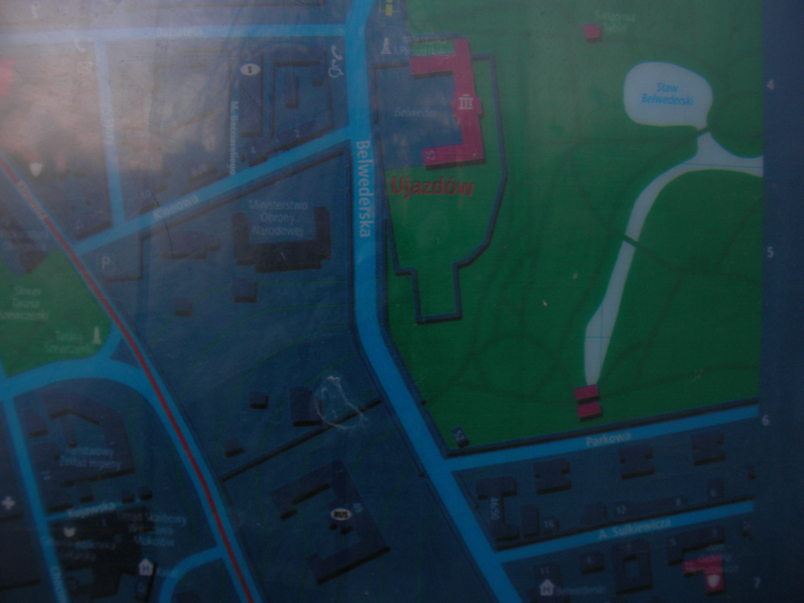
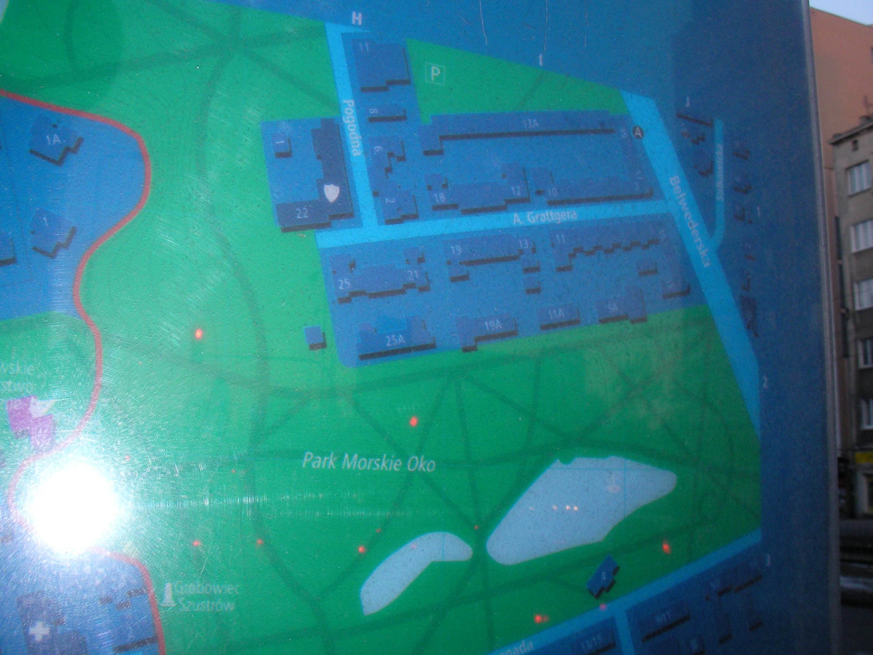
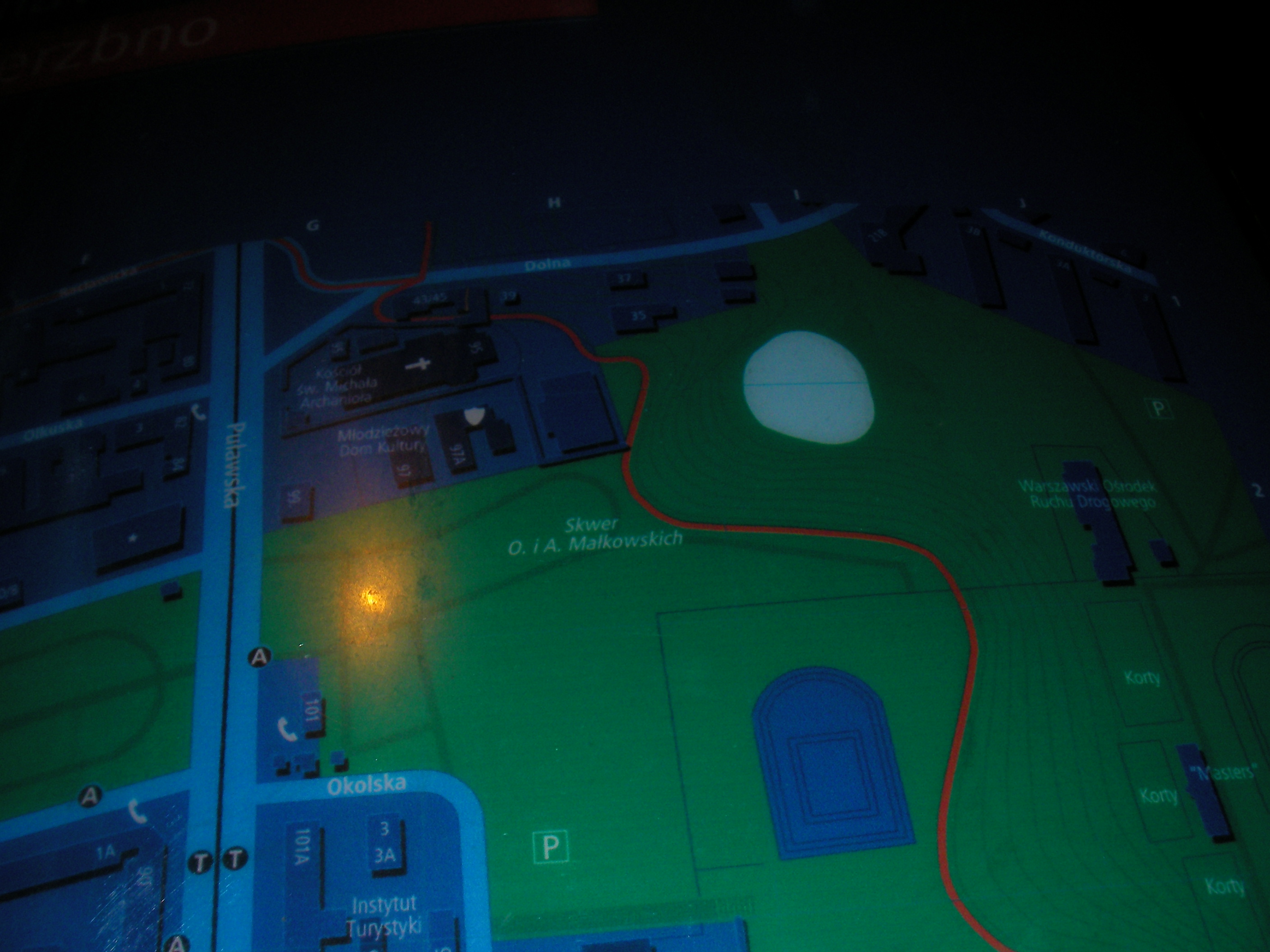
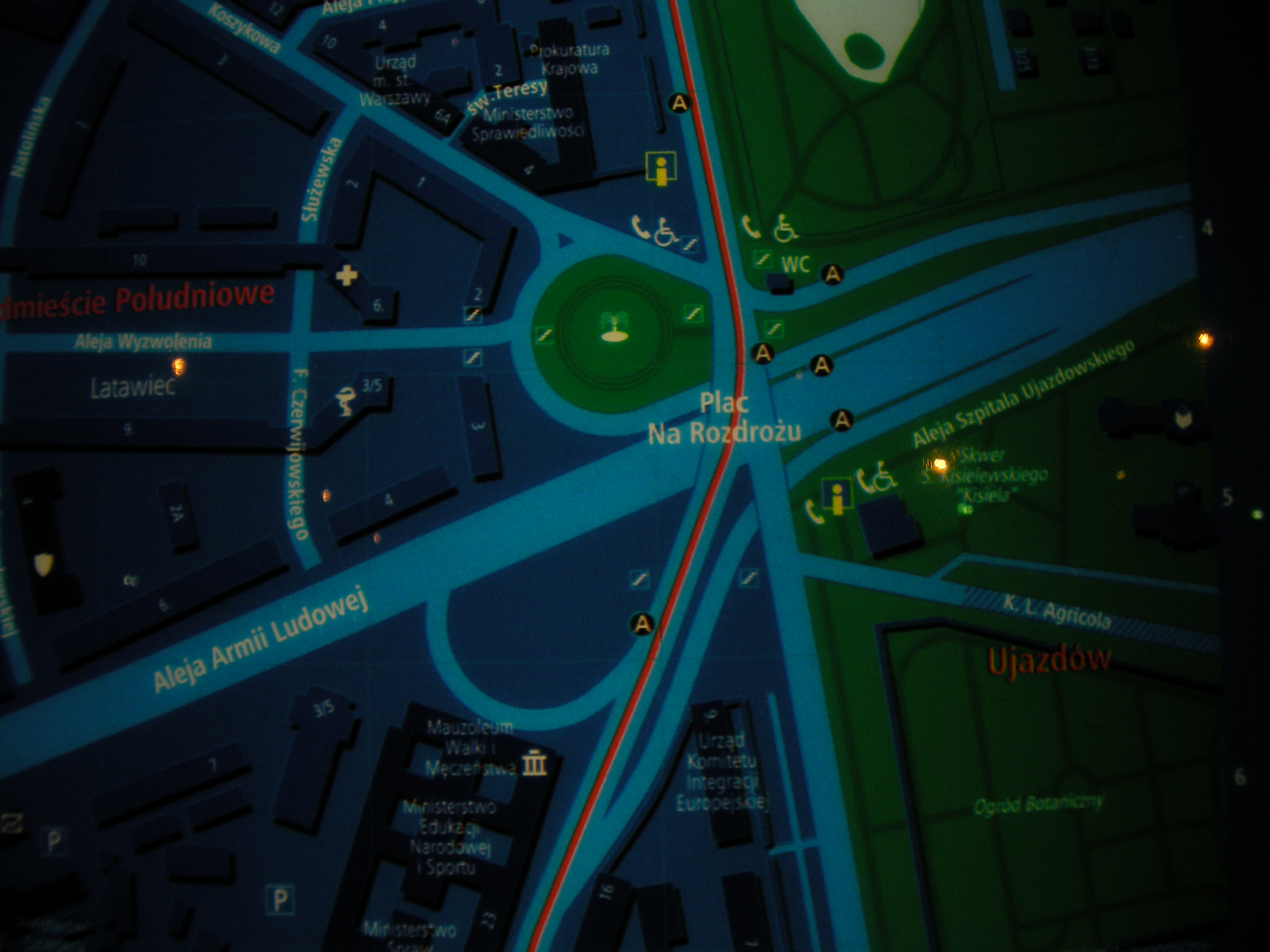
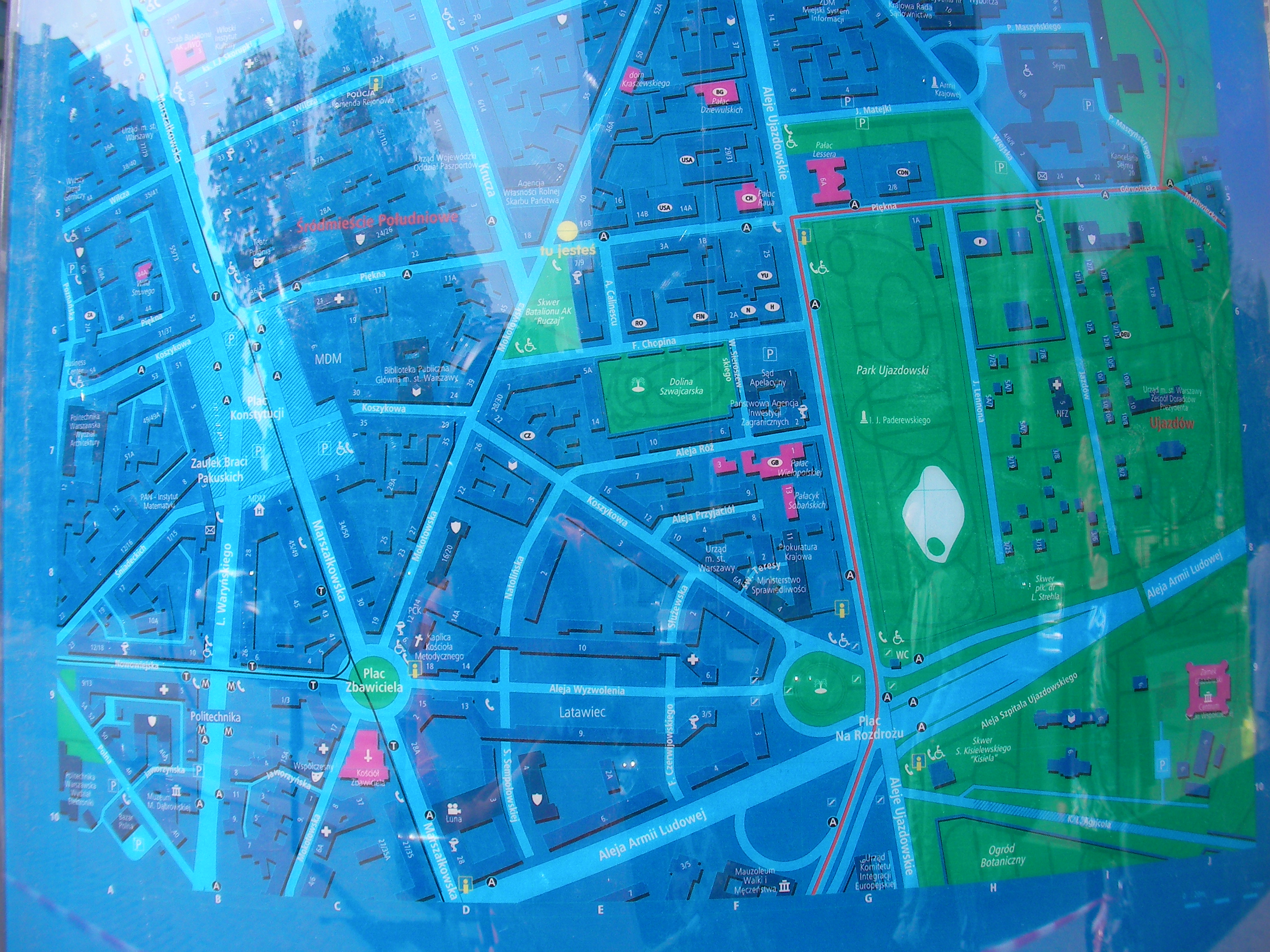
Plac Na Rozdrożu
Na Rozdrożu square, next to the exit of Agrykola st. Approximate location.
- Front side (touristic route map): Middle, Bottom, Top.
- Back: Bottom-right, Bottom, Bottom-left, Left, Middle, Top, Top-left, Left.
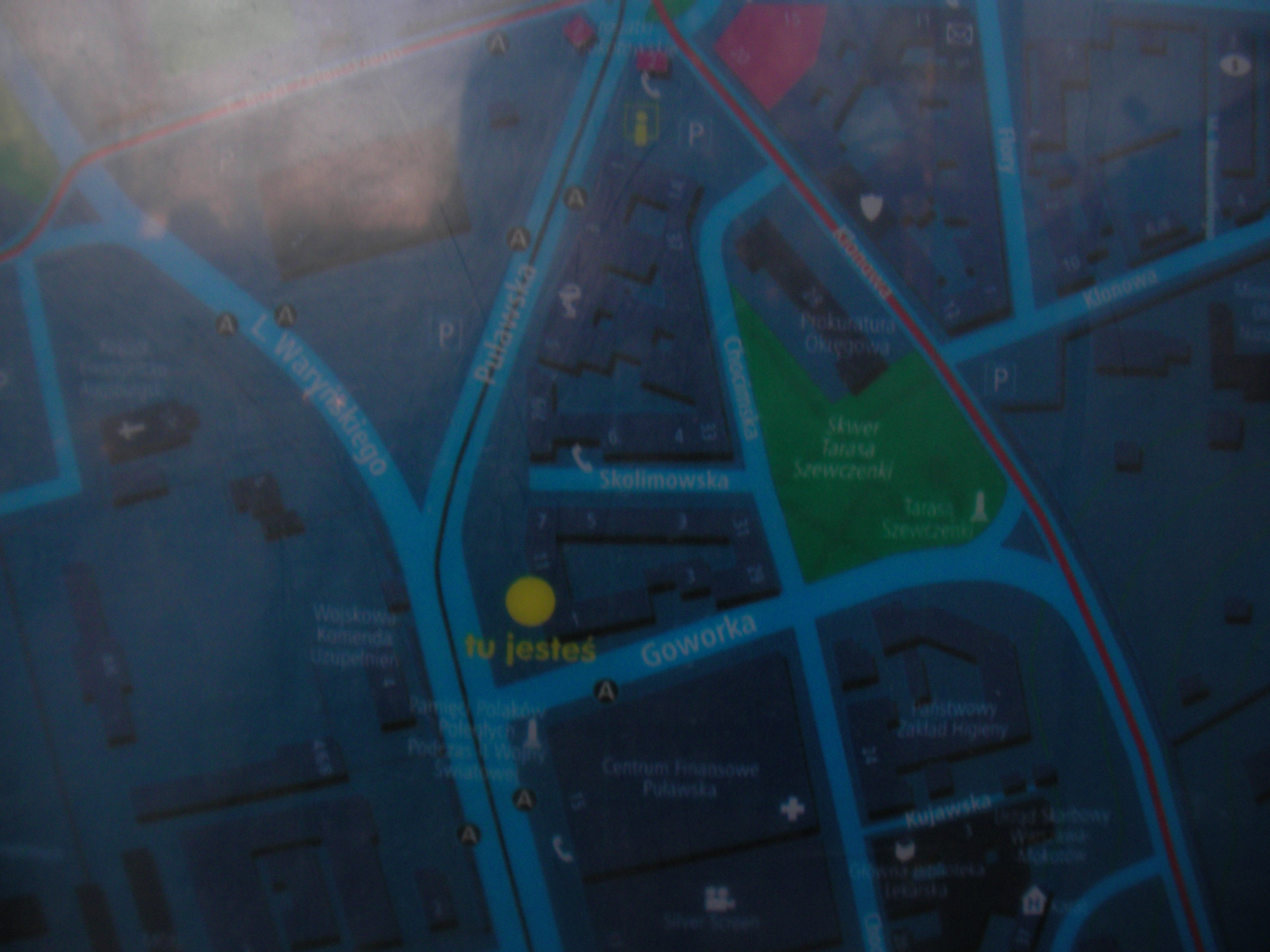
SilverScreen
North of the Puławska, Waryńskiego and Goworka crossing. Approximate location.
- Some blurry pics only. Bottom-right, Bottom, Bottom-left, Right, Middle, Left, Top-right, Top, Top-left, Middle-left, Top-right.
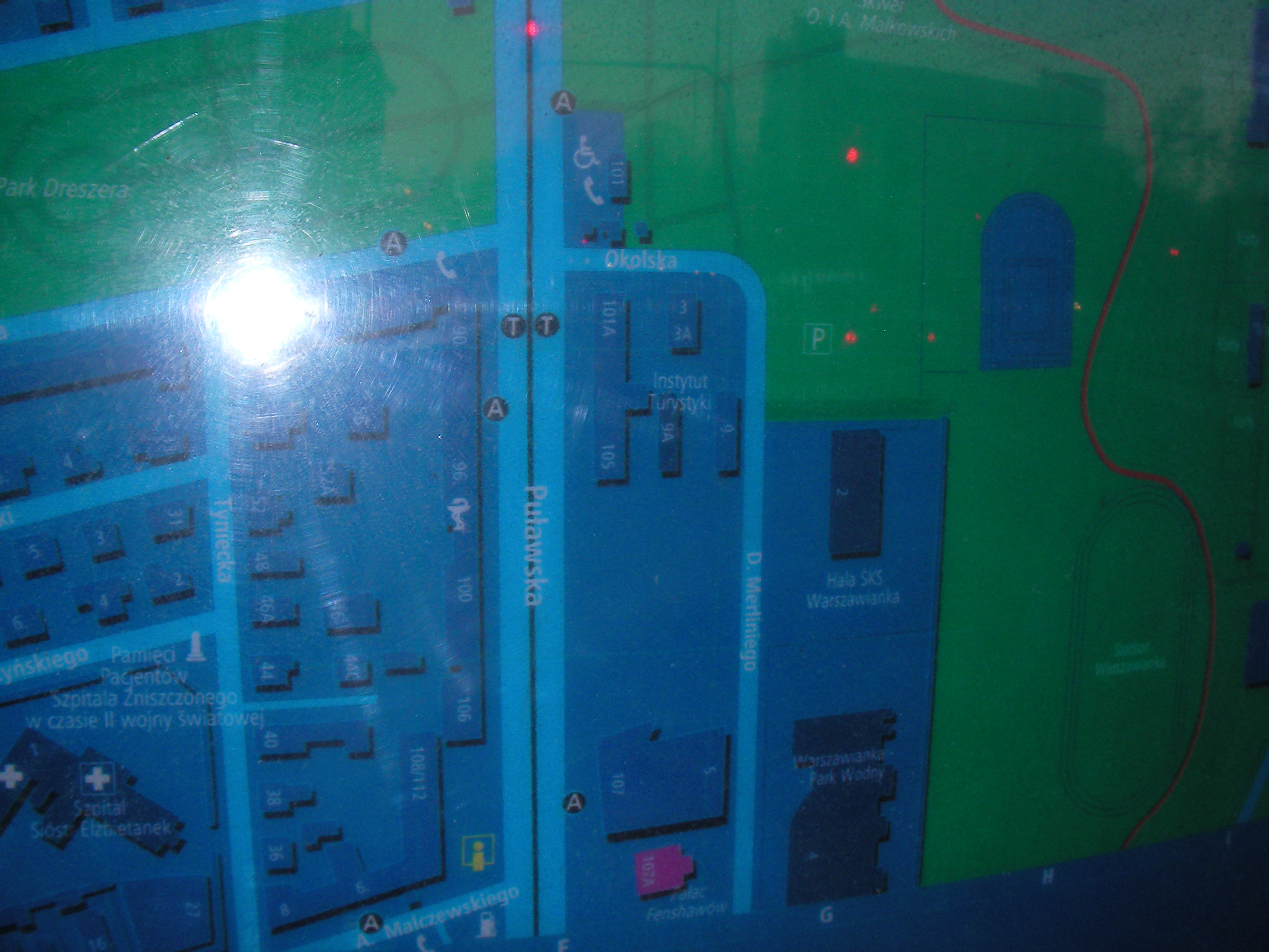
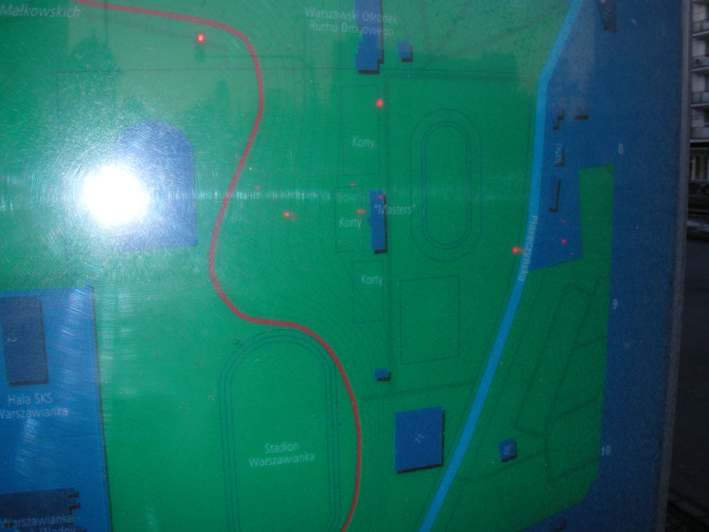
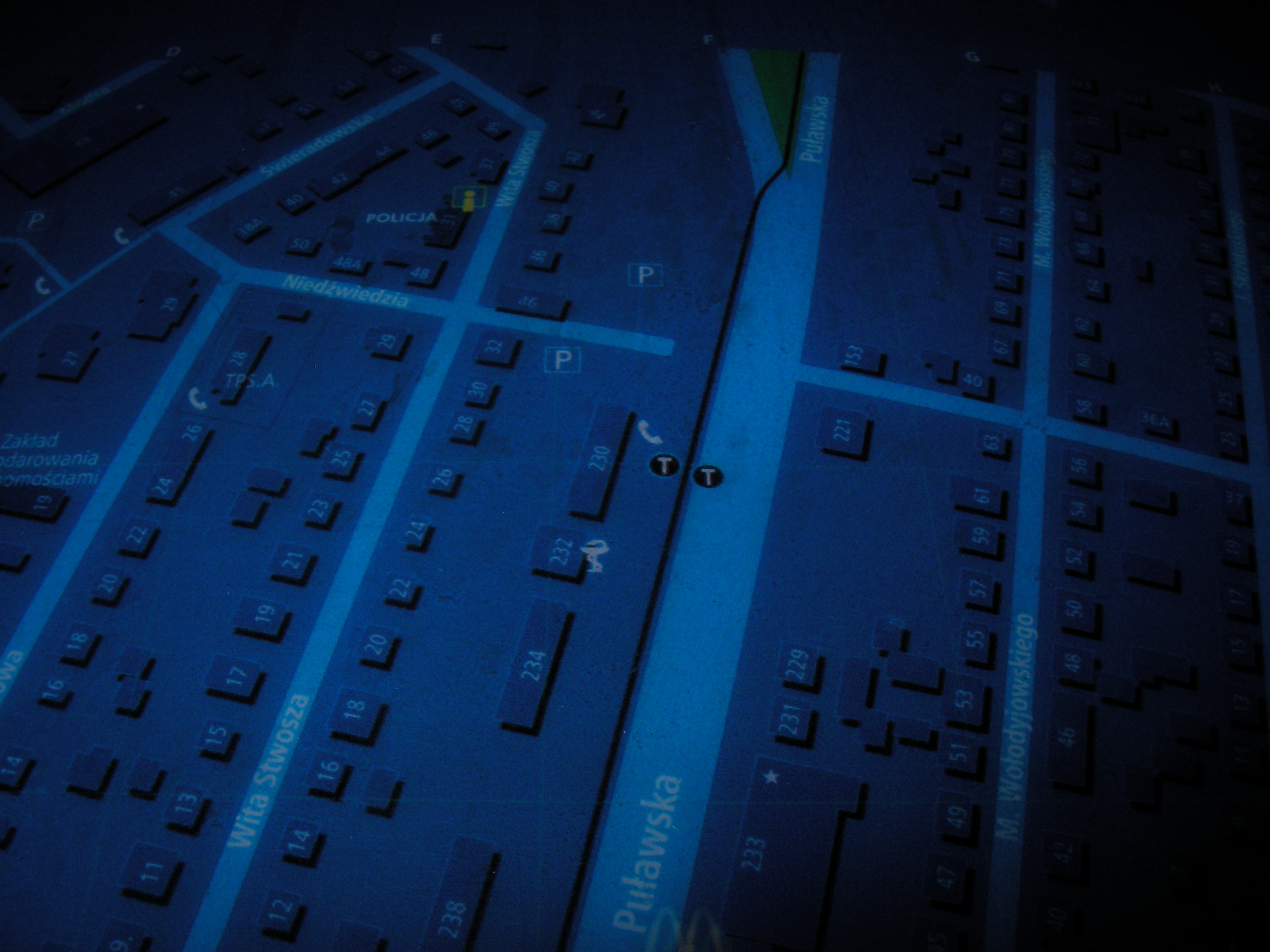
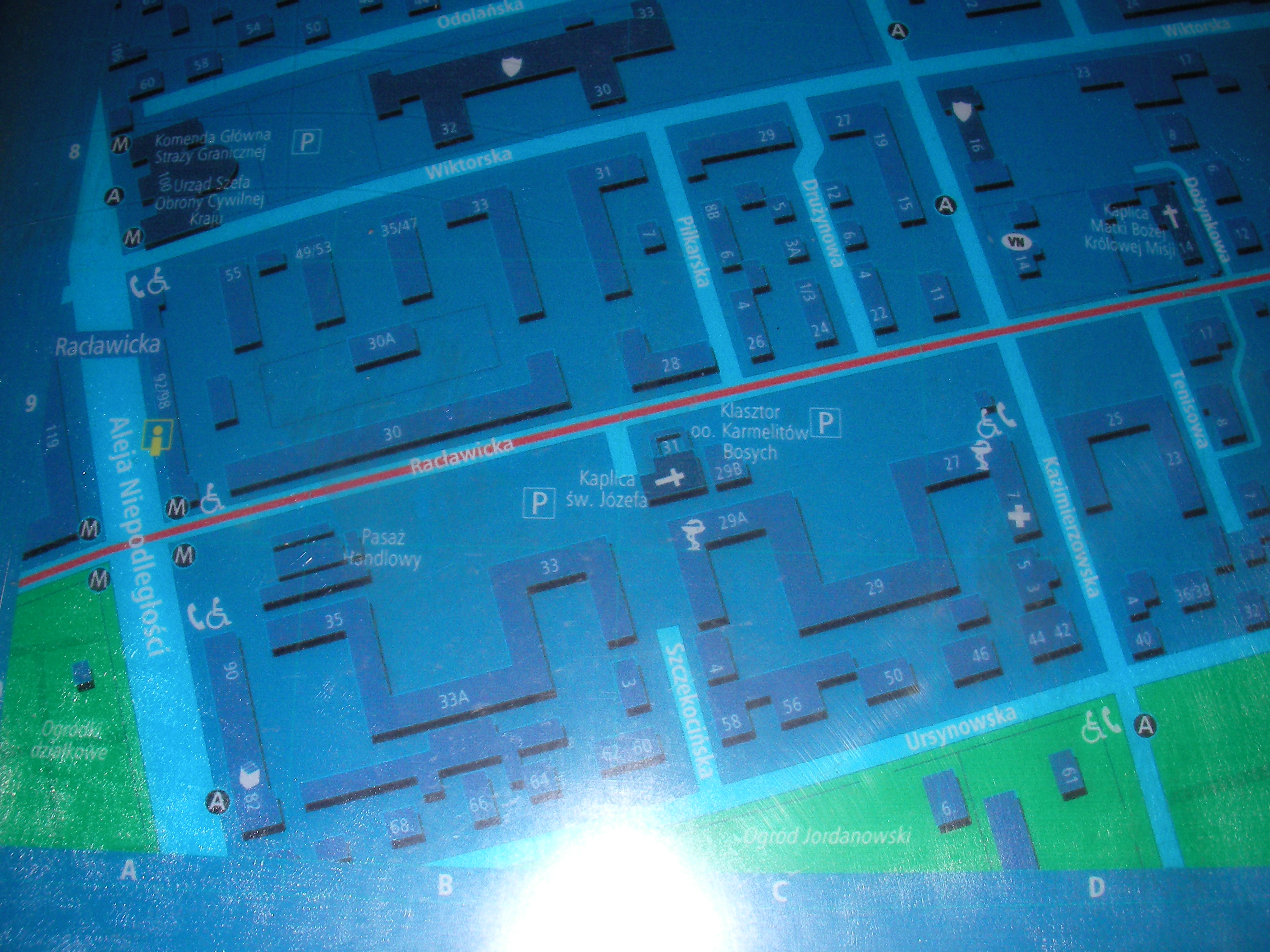
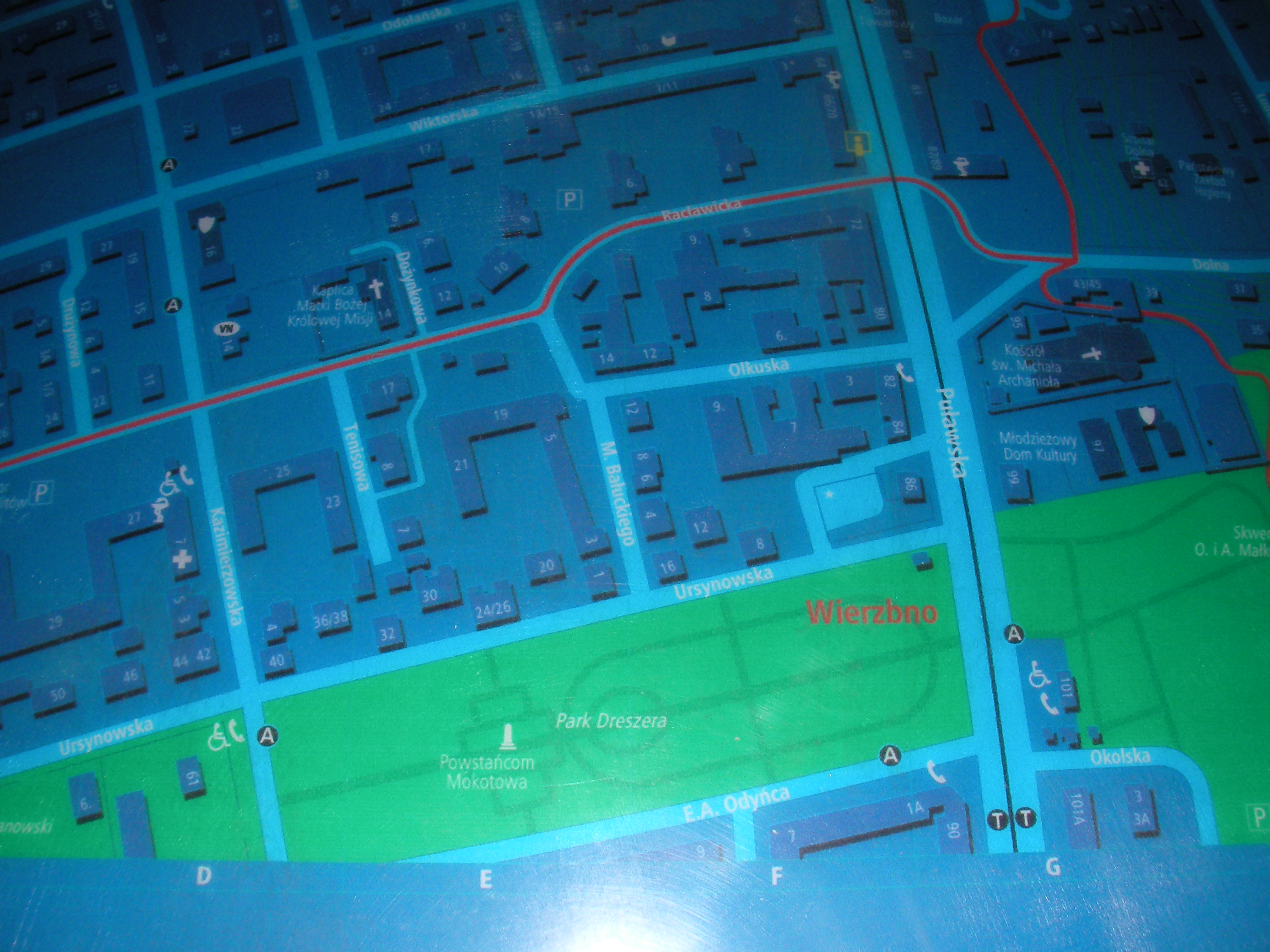
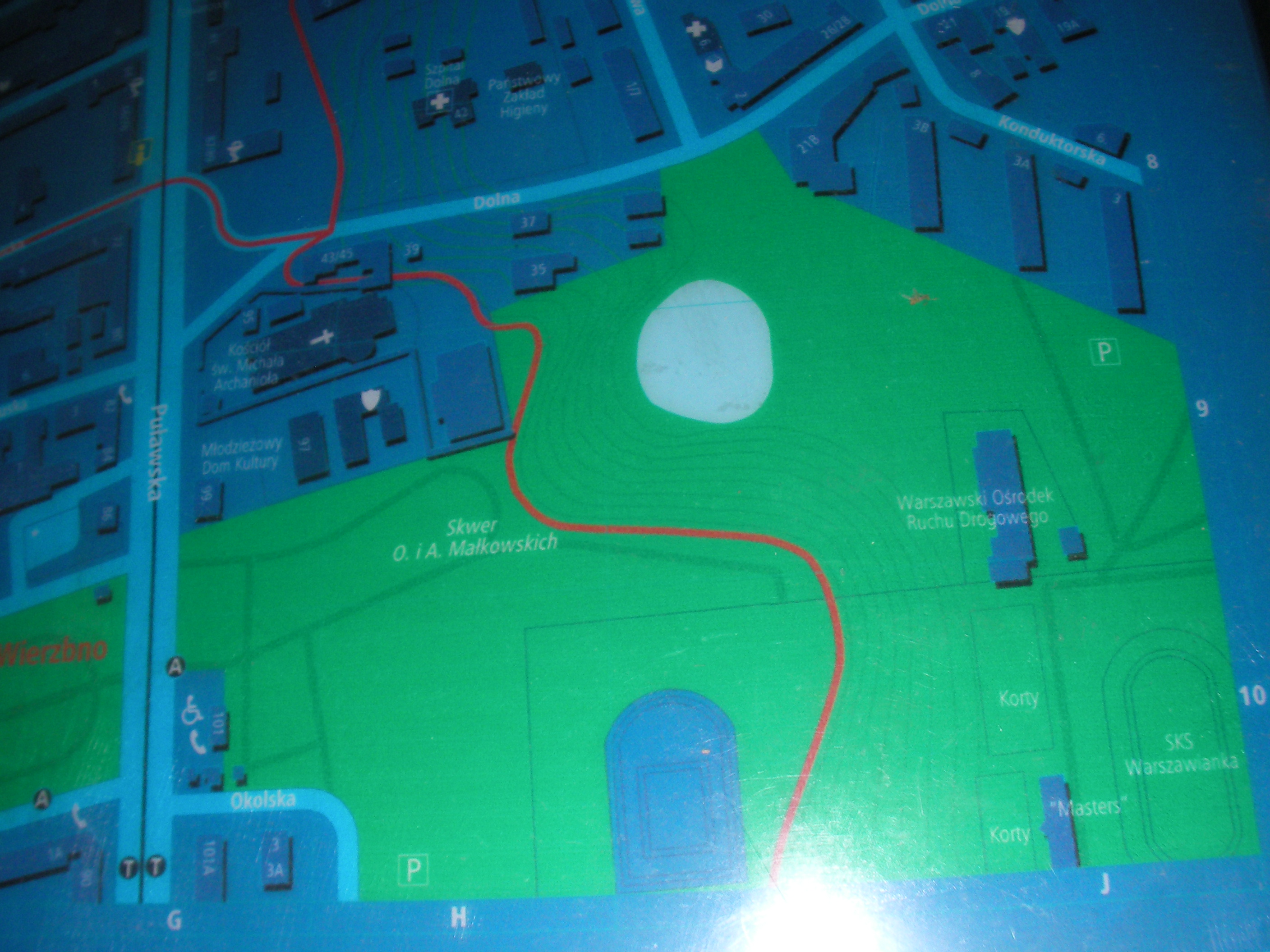
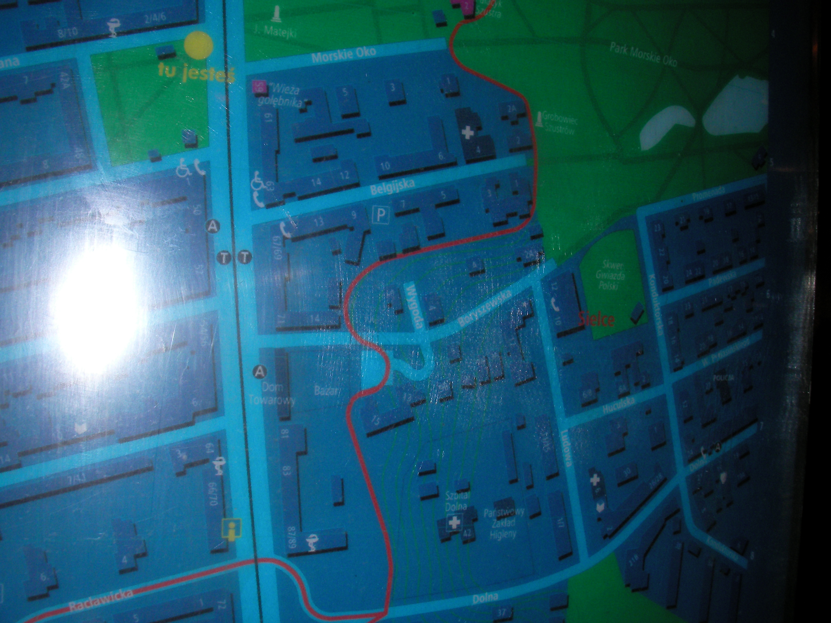
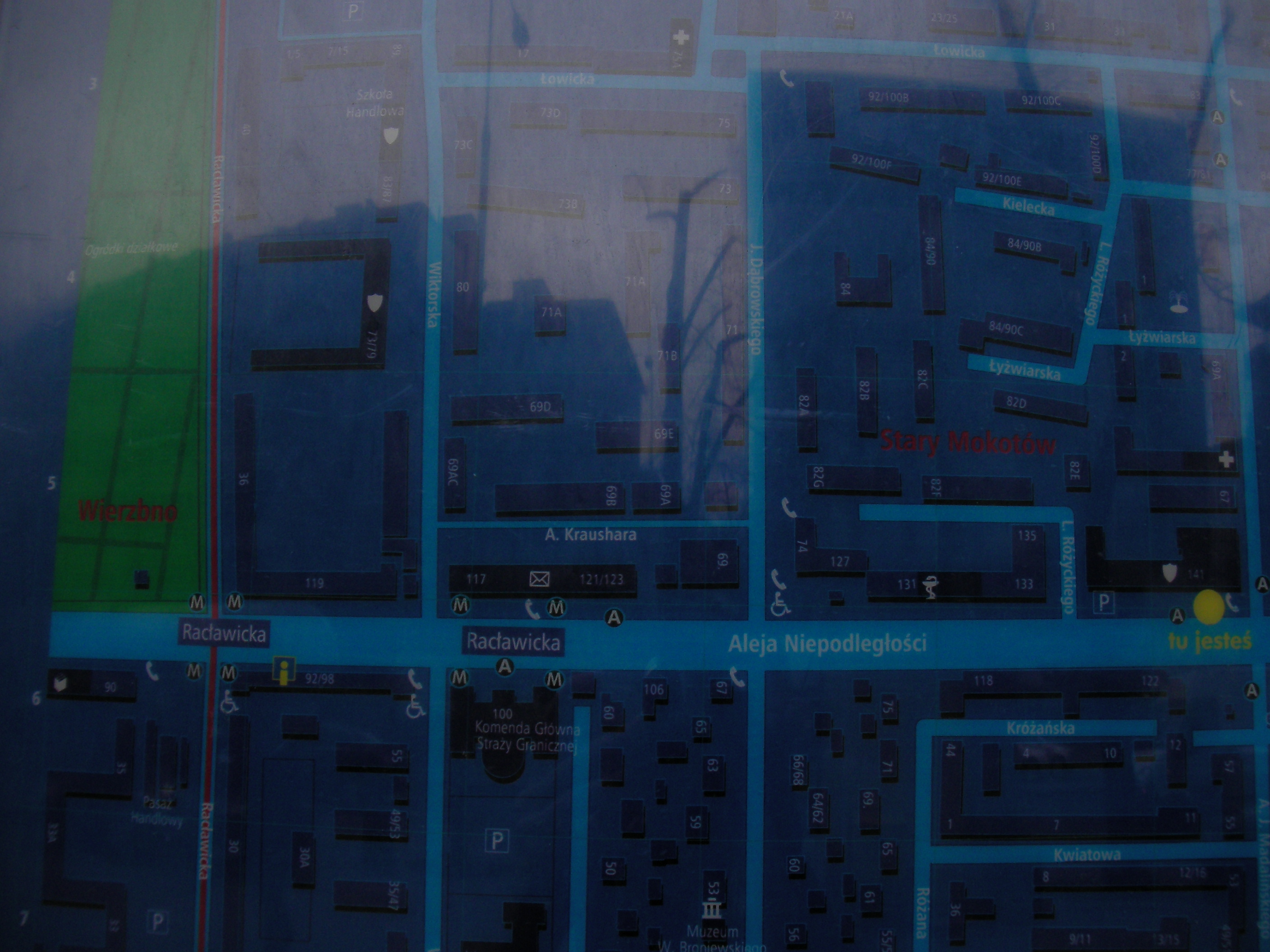
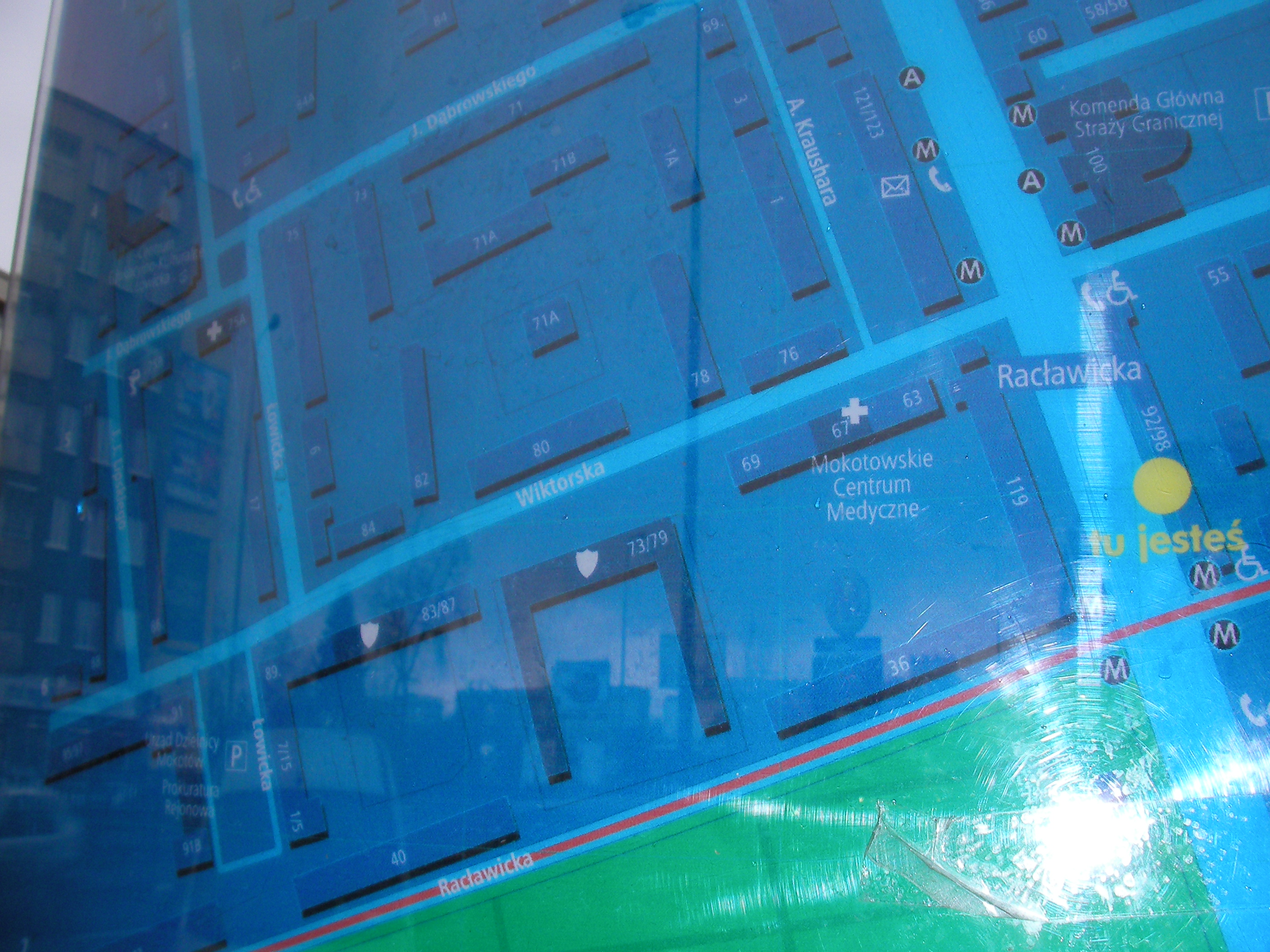
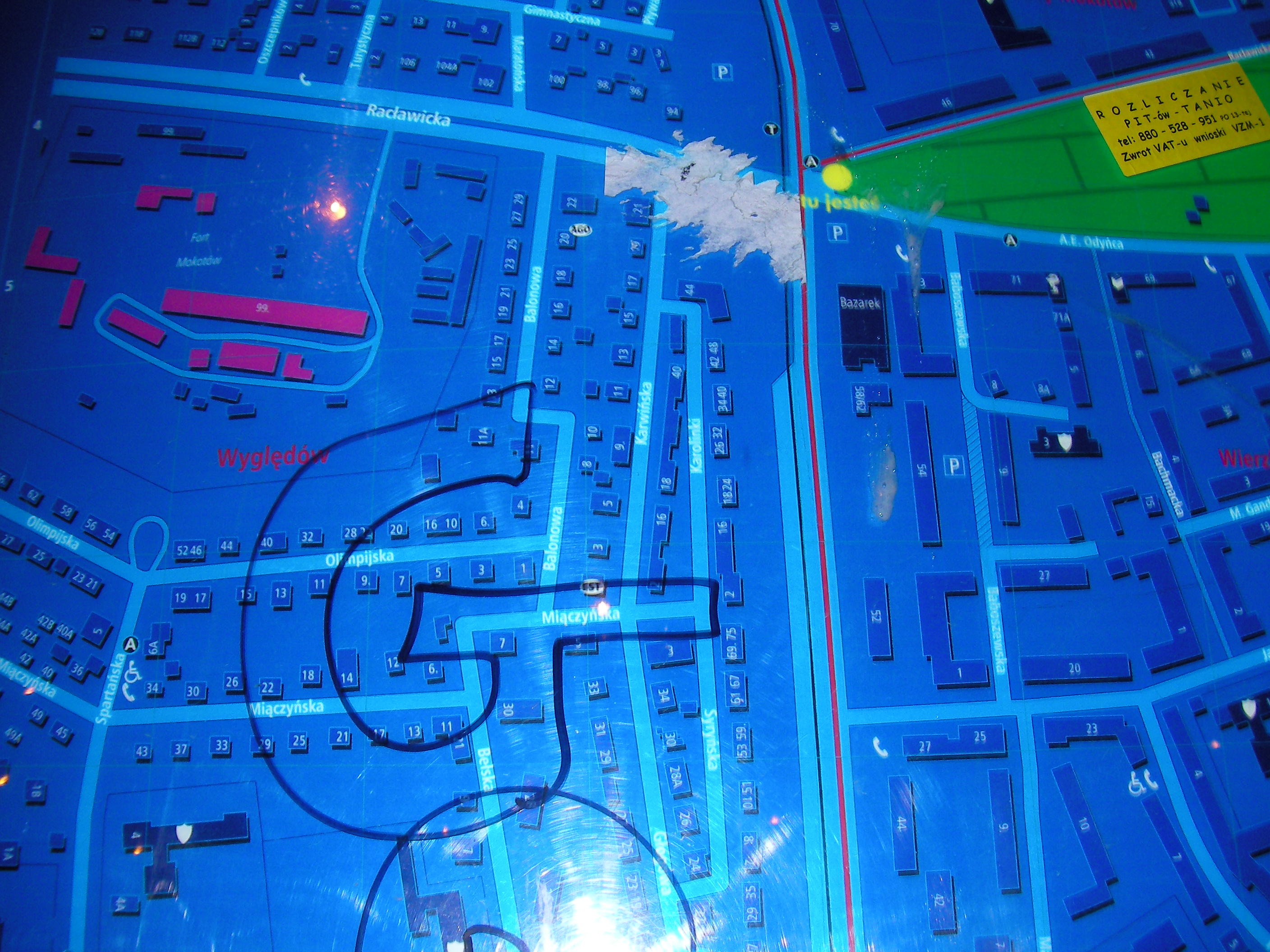
Racławicka (Puławska)
Crossing of Racławicka & Puławska streets. Approximate location.
- Bottom-left, Left, Top-left, Top, Middle, Bottom, Bottom-right, Right, Top-right, Top-right, Middle.
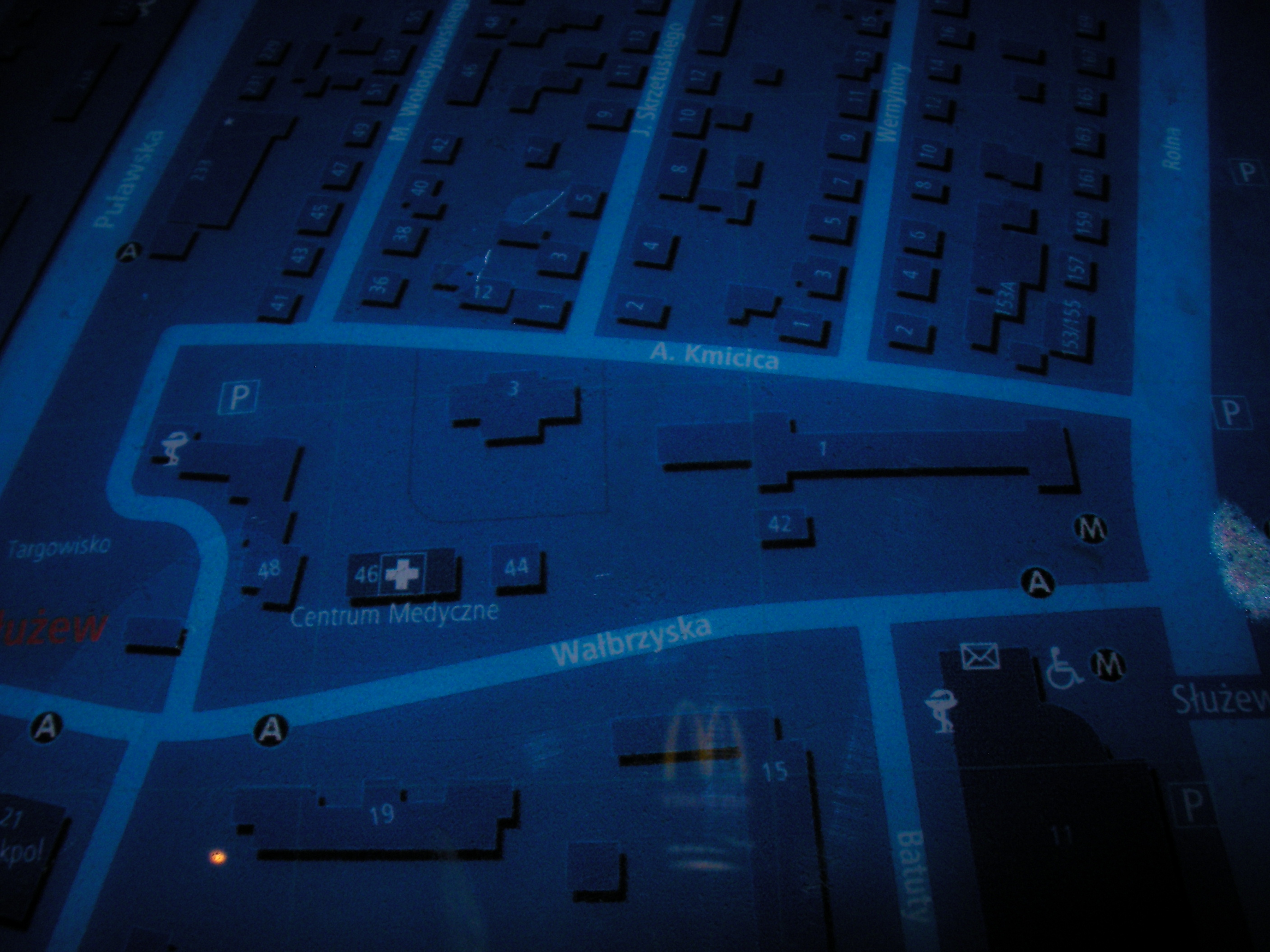
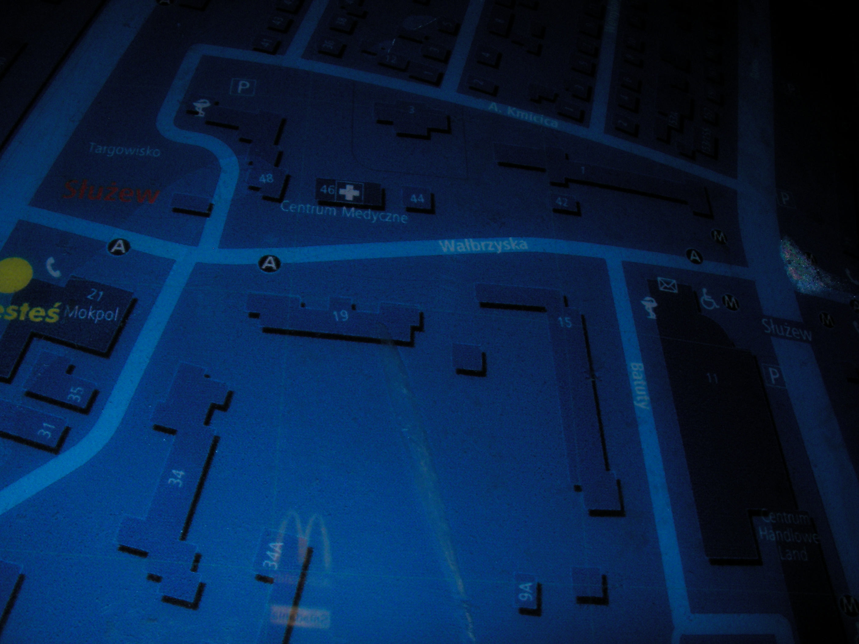
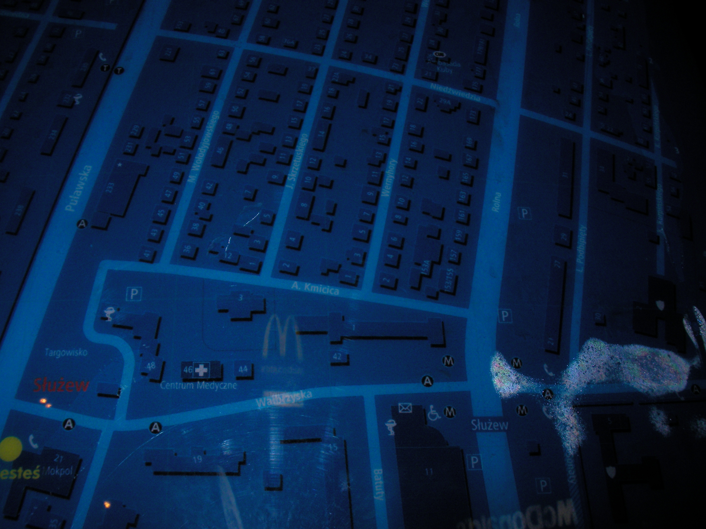
Wałbrzyska
Crossing of Wałbrzyska & Puławska streets, in front of McDonald's. Approximate location.
- Poor night pics only. Bottom-left, Right, Top-right, Top, Top-left, Left, Right, Bottom, Left, Bottom-right, Right, Left, Middle.
- Poor night pics only. Bottom-right, Right, Top-right, Right.
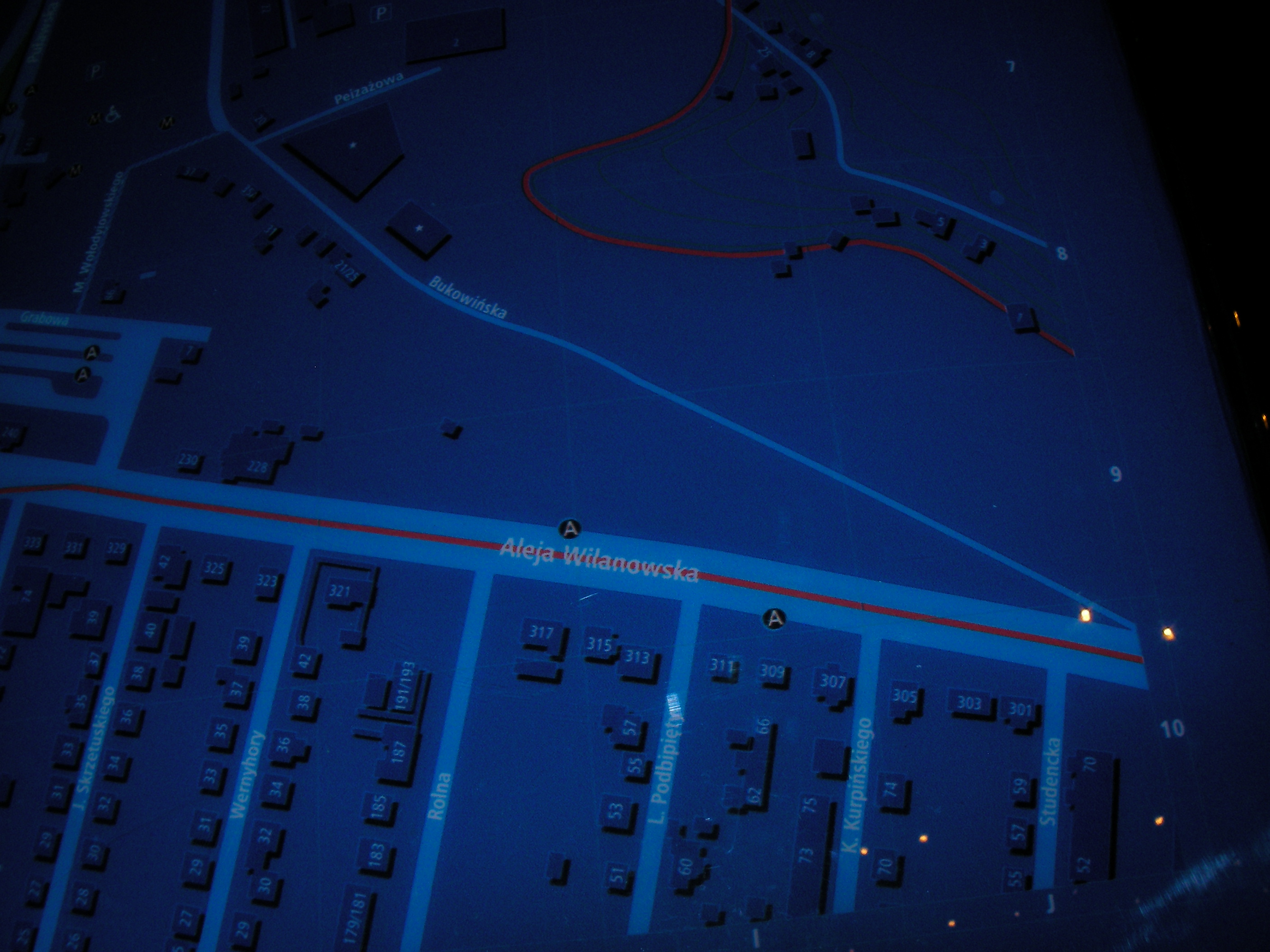
Metro Wilanowska
By the tram stop. Approximate location.
- Bottom-left, Left, Top-left, Top, Top-right, Middle, Right, Bottom, Top, Bottom-right, Bottom-right, Bottom-right.
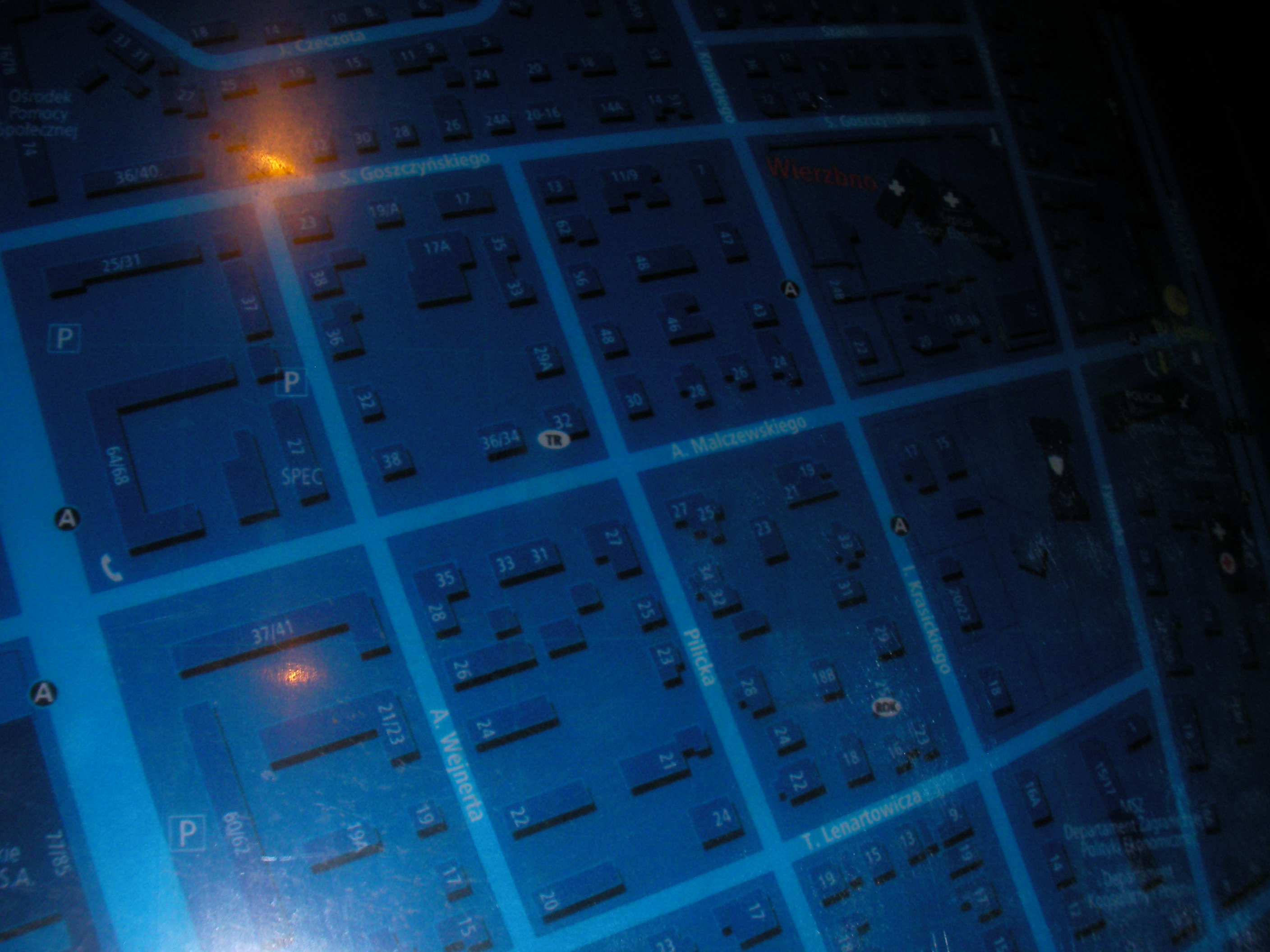
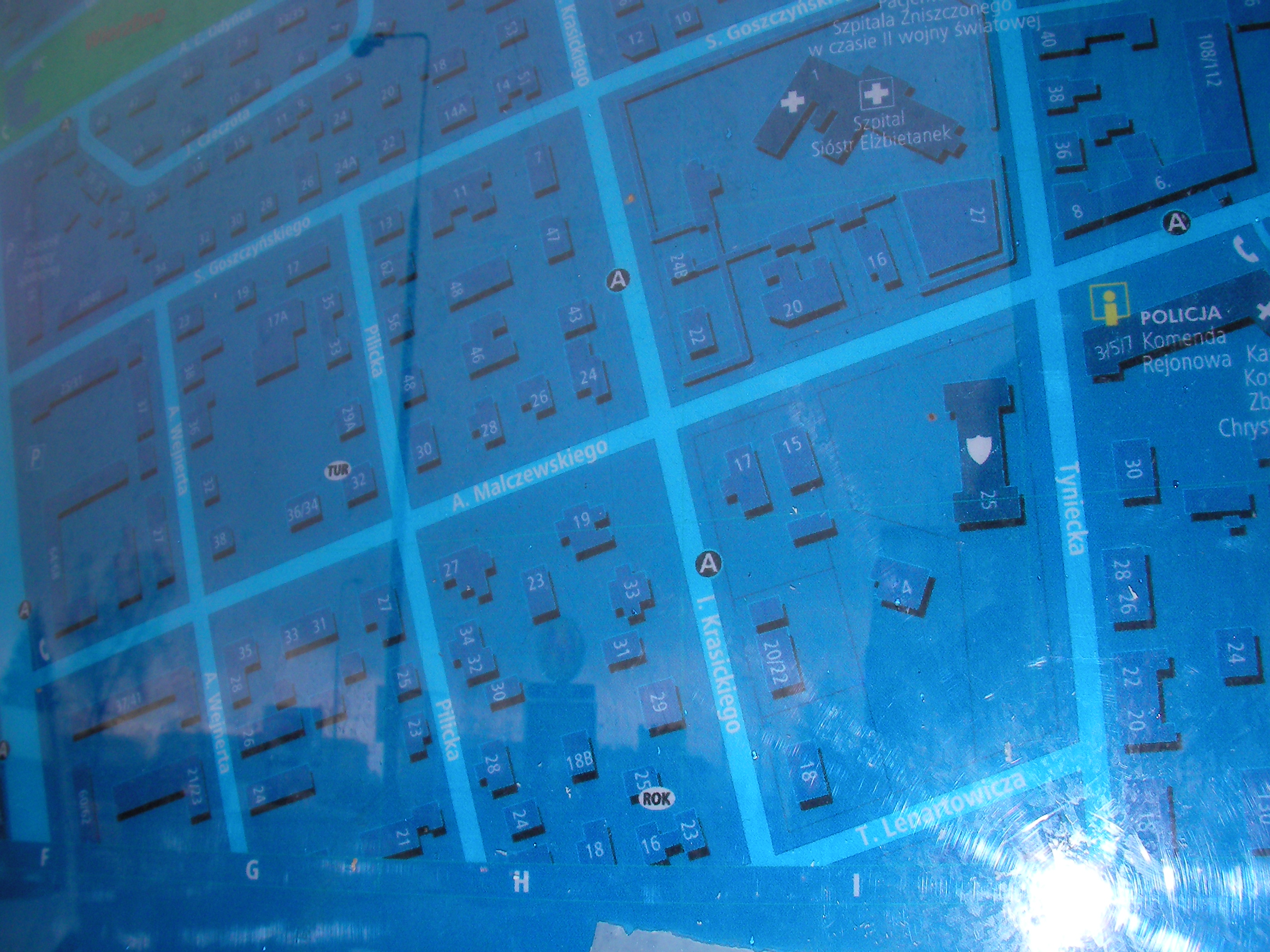
Malczewskiego
East end of Malczewskiego street. Approximate location.
- Left, Top, Top-right, Left, Middle-left, Middle-right, Bottom, Bottom, Bottom-left, Left, Right, Bottom-right.
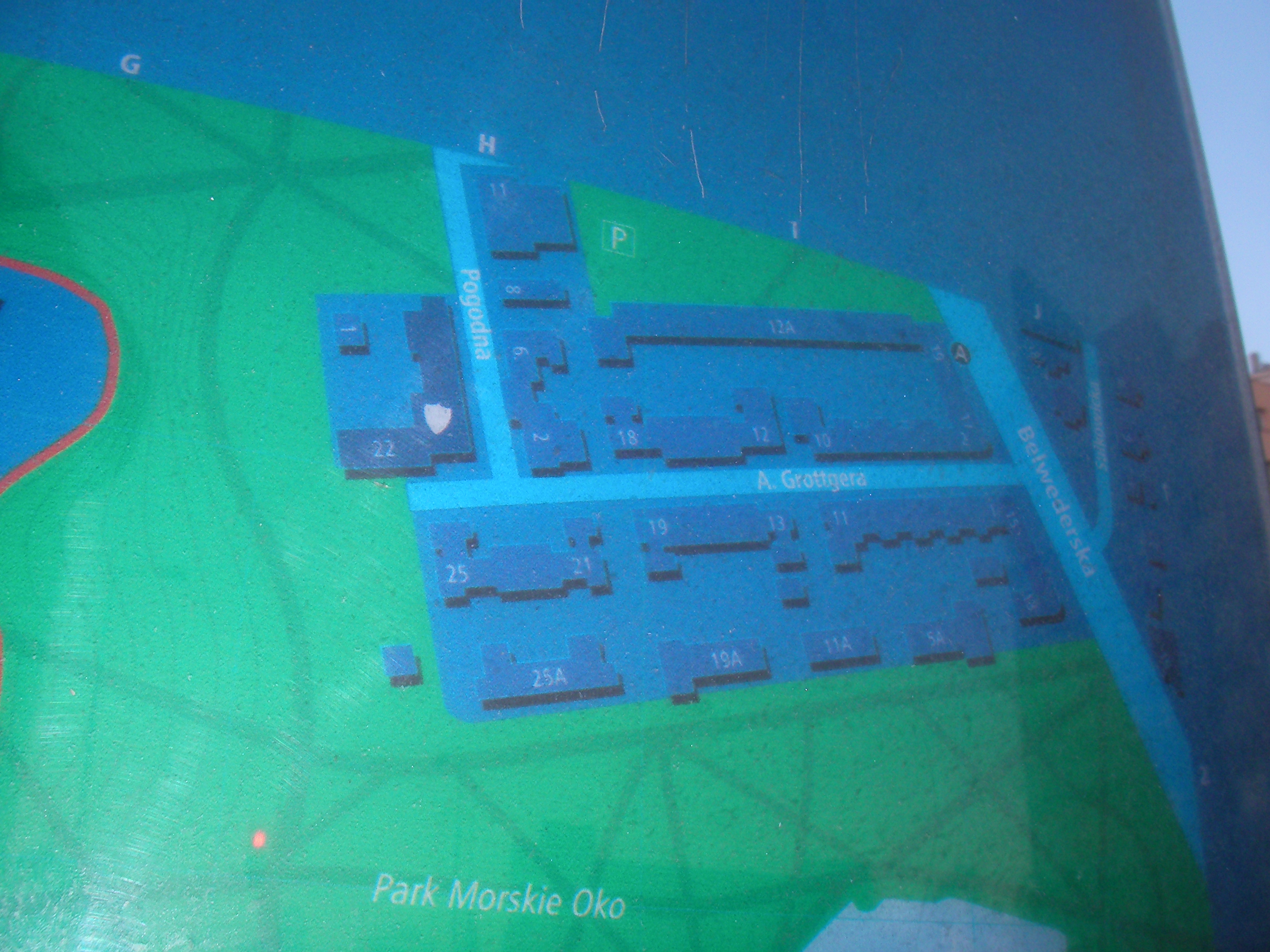
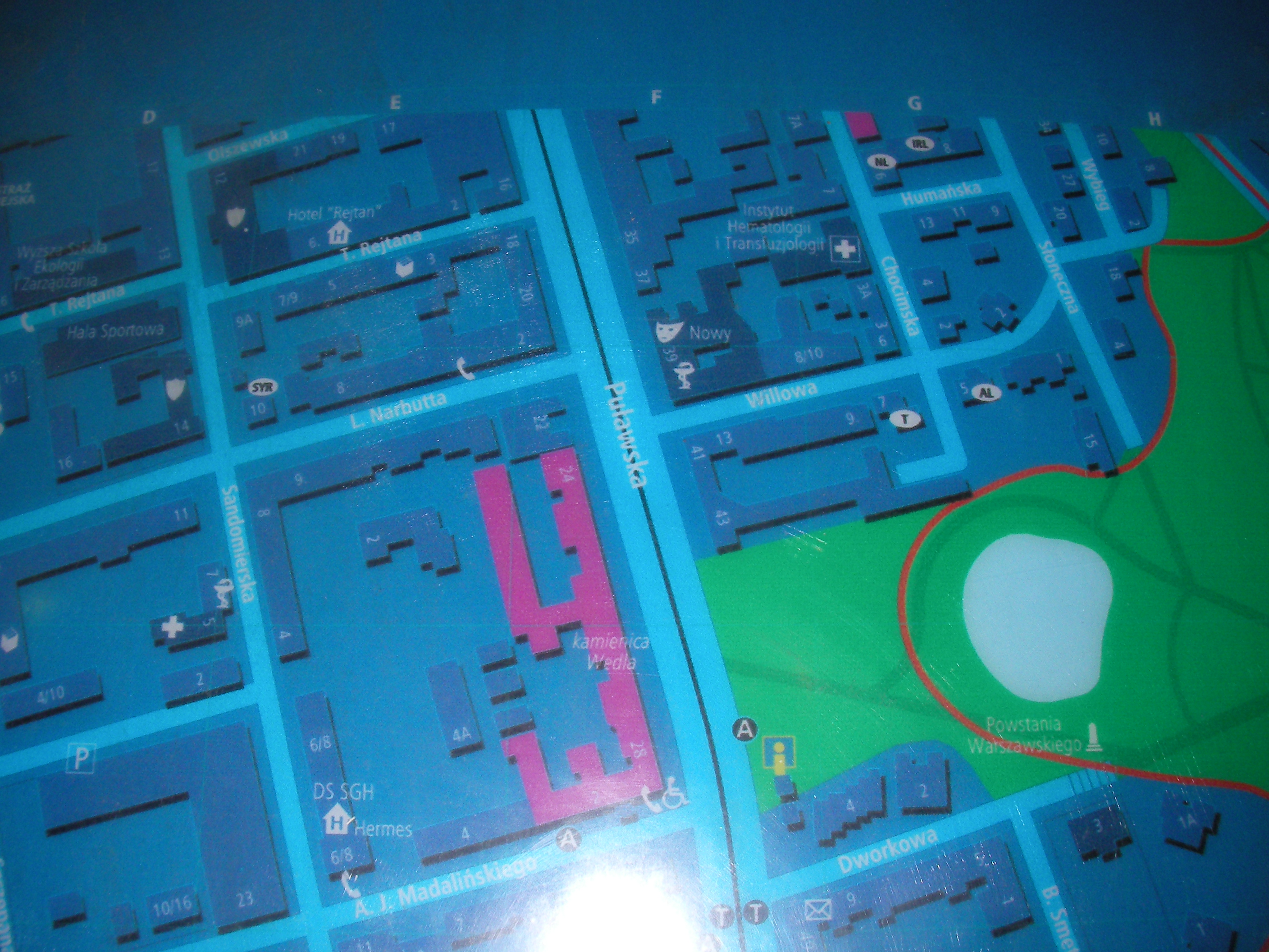
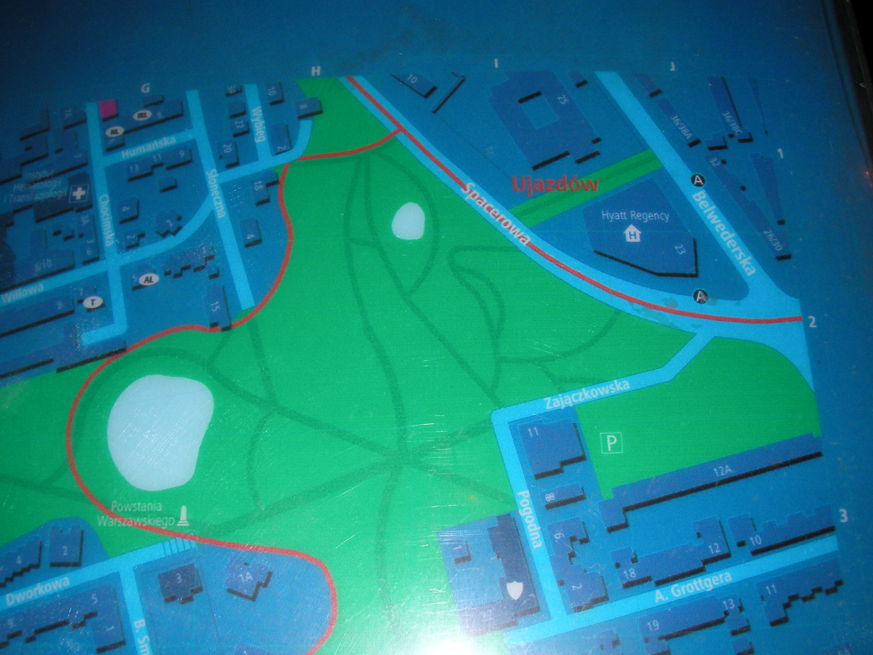
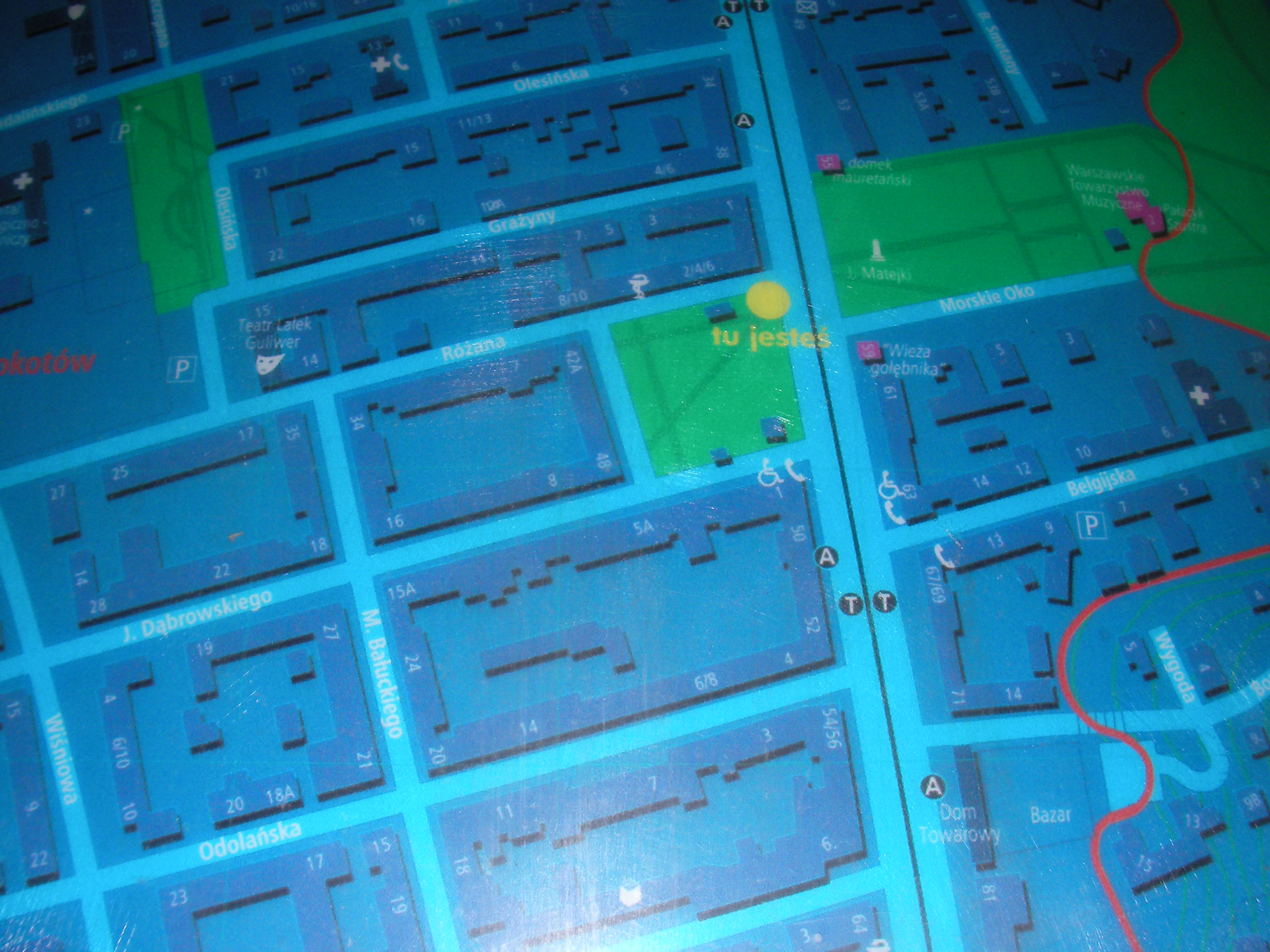
Różana
In the park on the east end of Różana street, opposite side of Puławska to the Morskie Oko park. Approximate location.
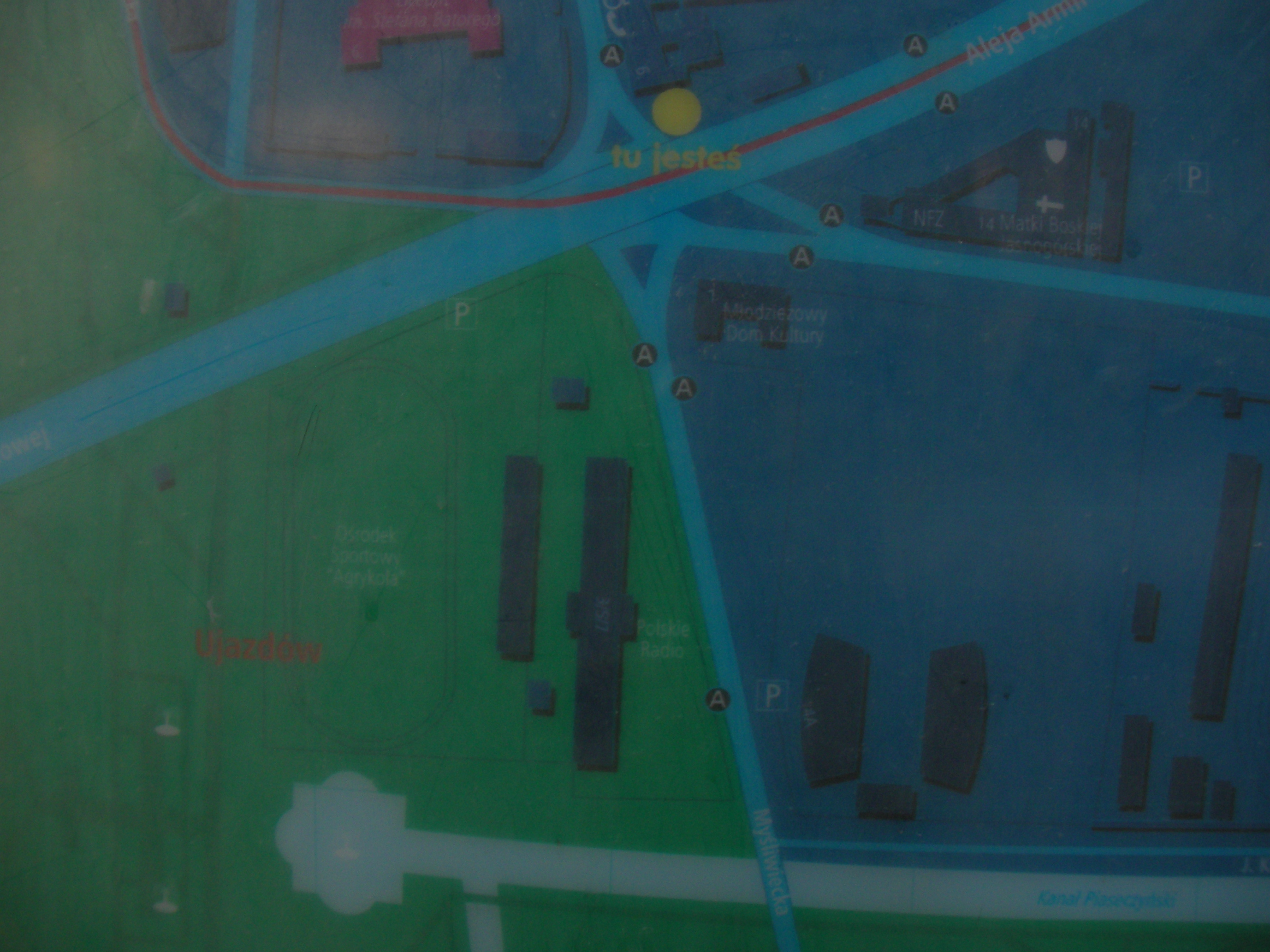
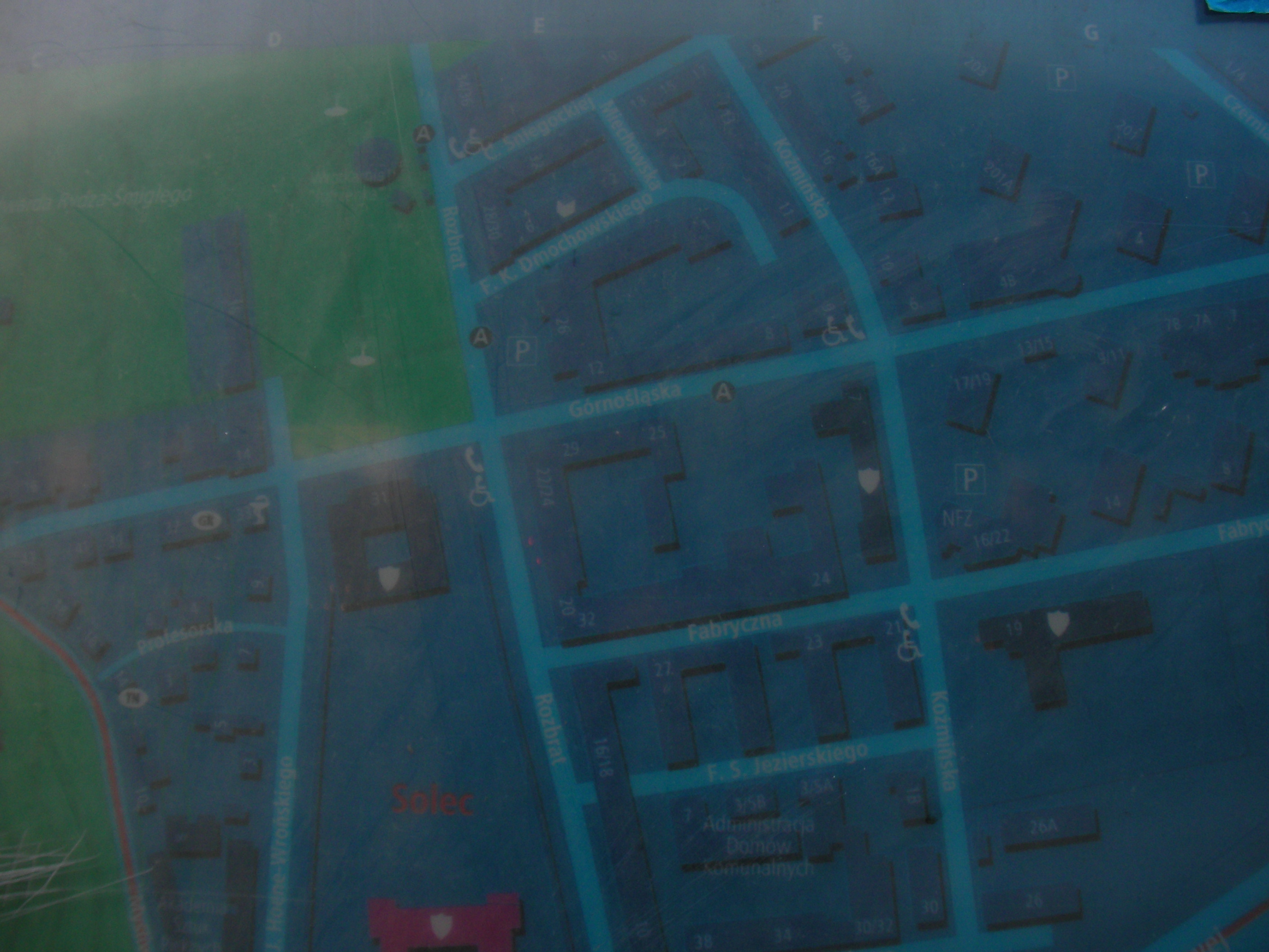
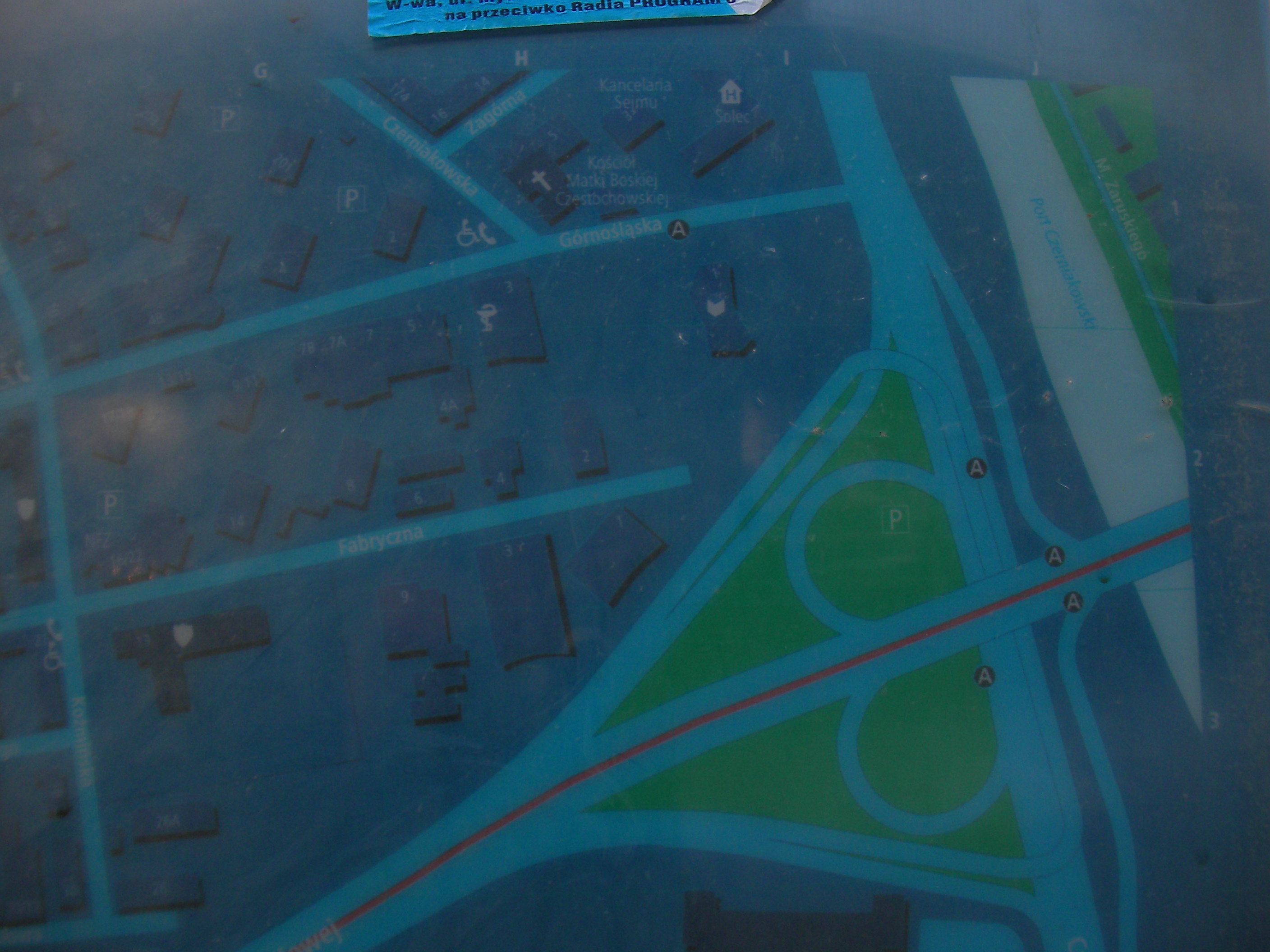
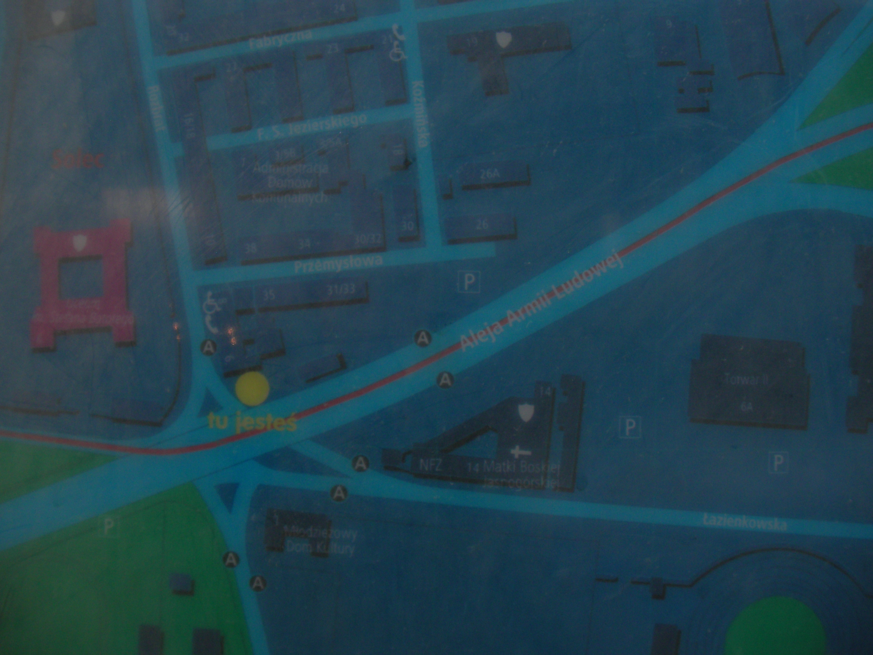
Aleja Armii Ludowej
Where Marszałkowska crosses Armii Ludowej on a bridge, halfway between Plac Unii Lubelskiej and Plac Zbawiciela. Approximate location.
- Bottom-right, Bottom, Bottom-left, Left, Middle, Right, Top-right, Top, Left.
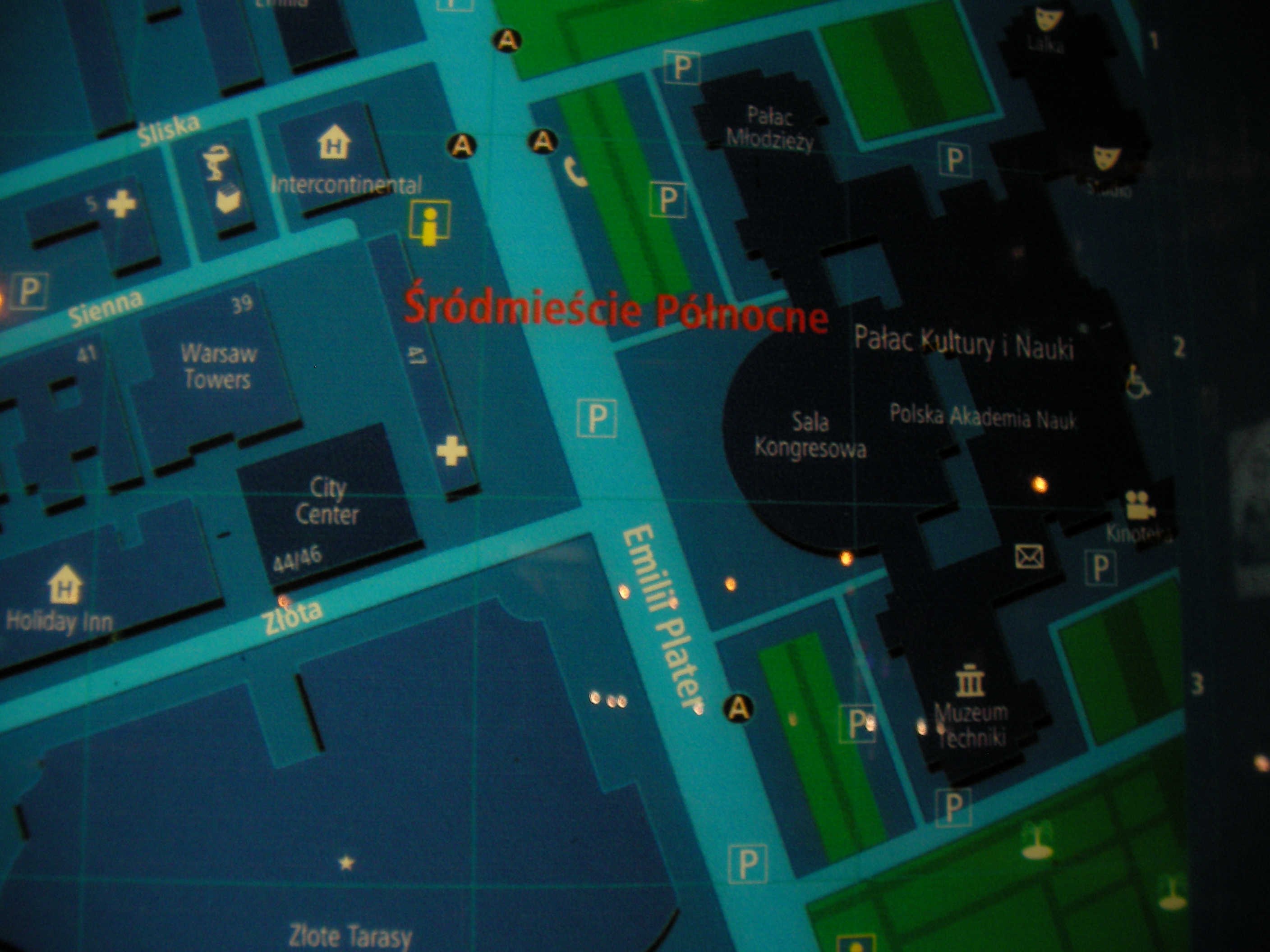
Metro Centrum
North of the Roman Dmowski roundabout. Approximate location.
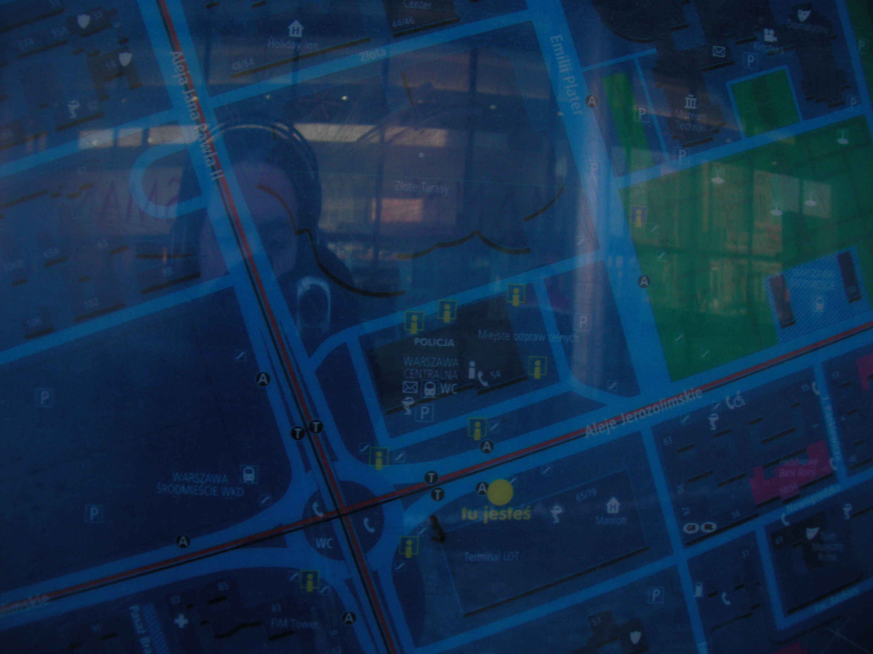
Dworzec Centralny
Underground passages at the crossing of Chalubińskiego with Aleje Jerozolimskie, near the central station exit. Approximate location.
- Bottom-left, Left, Top-left, Top, Right, Bottom-right.
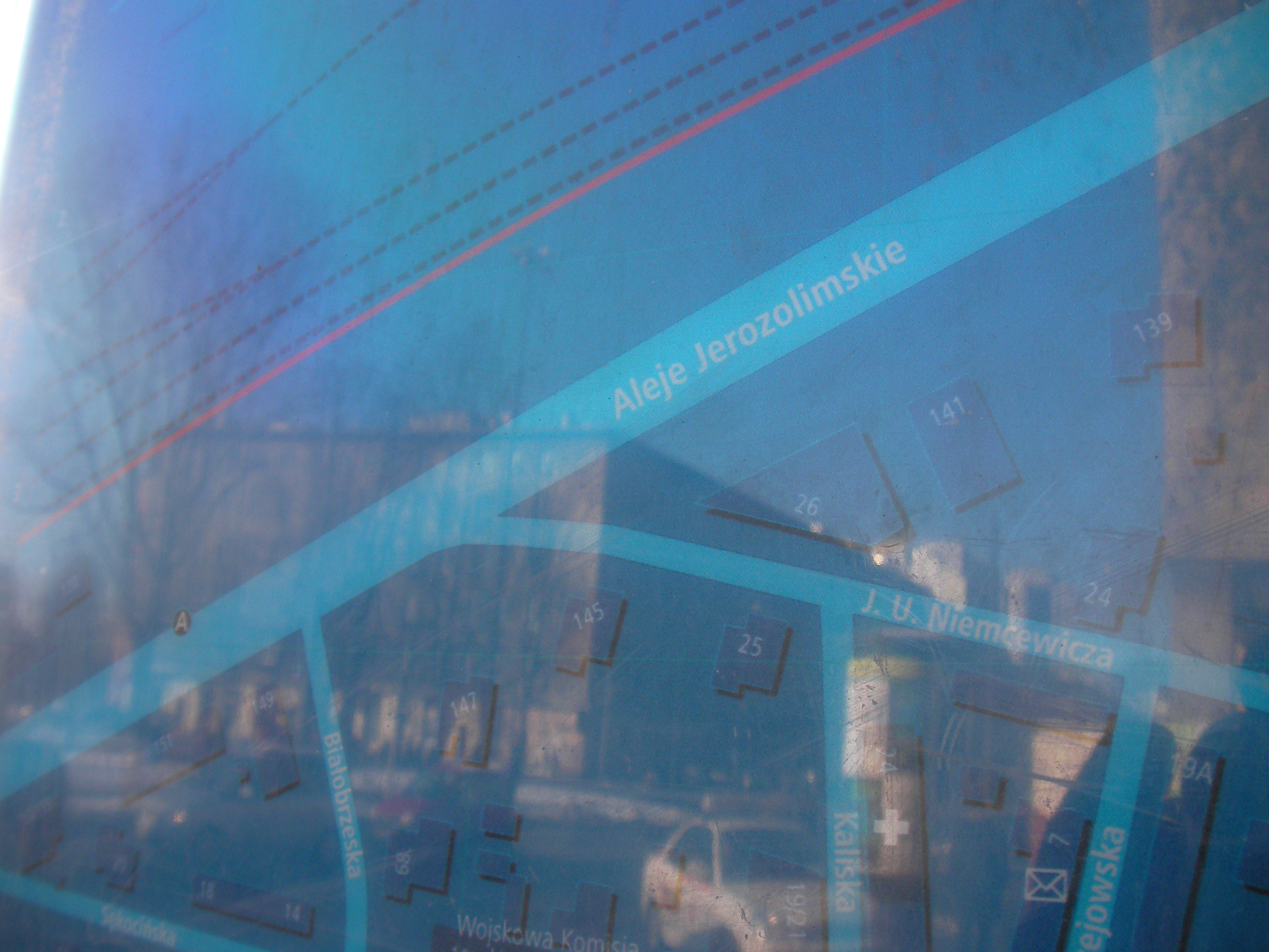
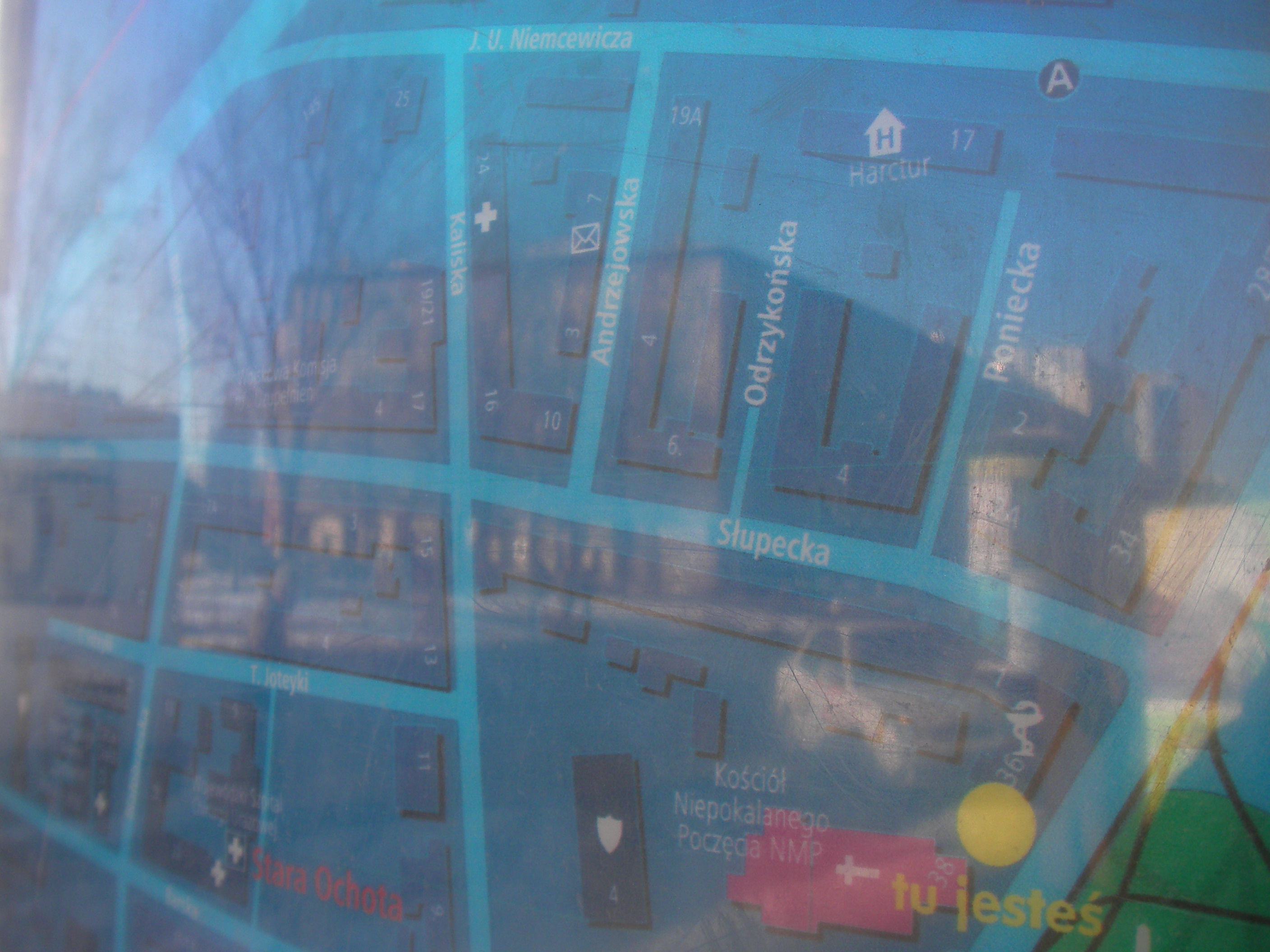
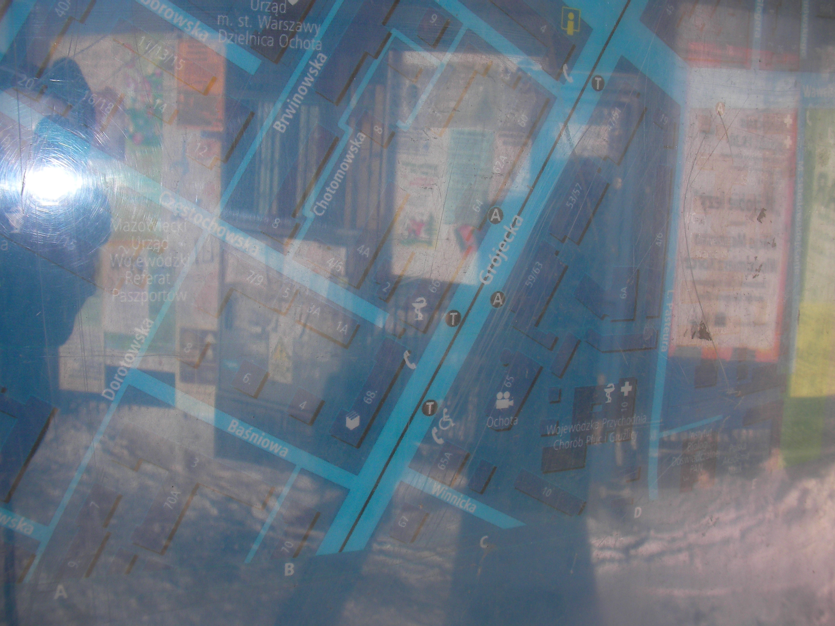
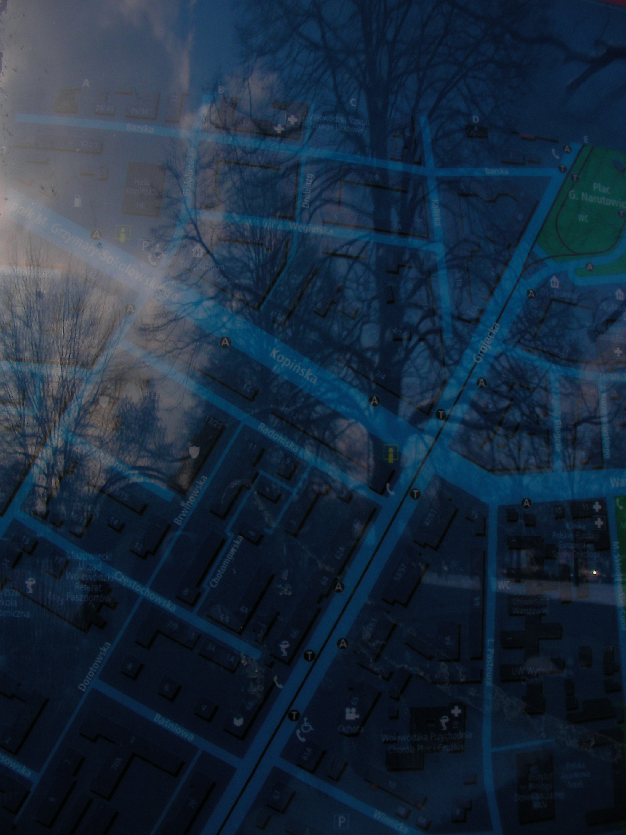
Kopińska
Crossing of Kopińska-Wawelska and Grójecka. Approximate location.
- Bottom-right, Bottom, Bottom-left, Right, Middle, Left, Top-right, Top, Top-left, Bottom-left.
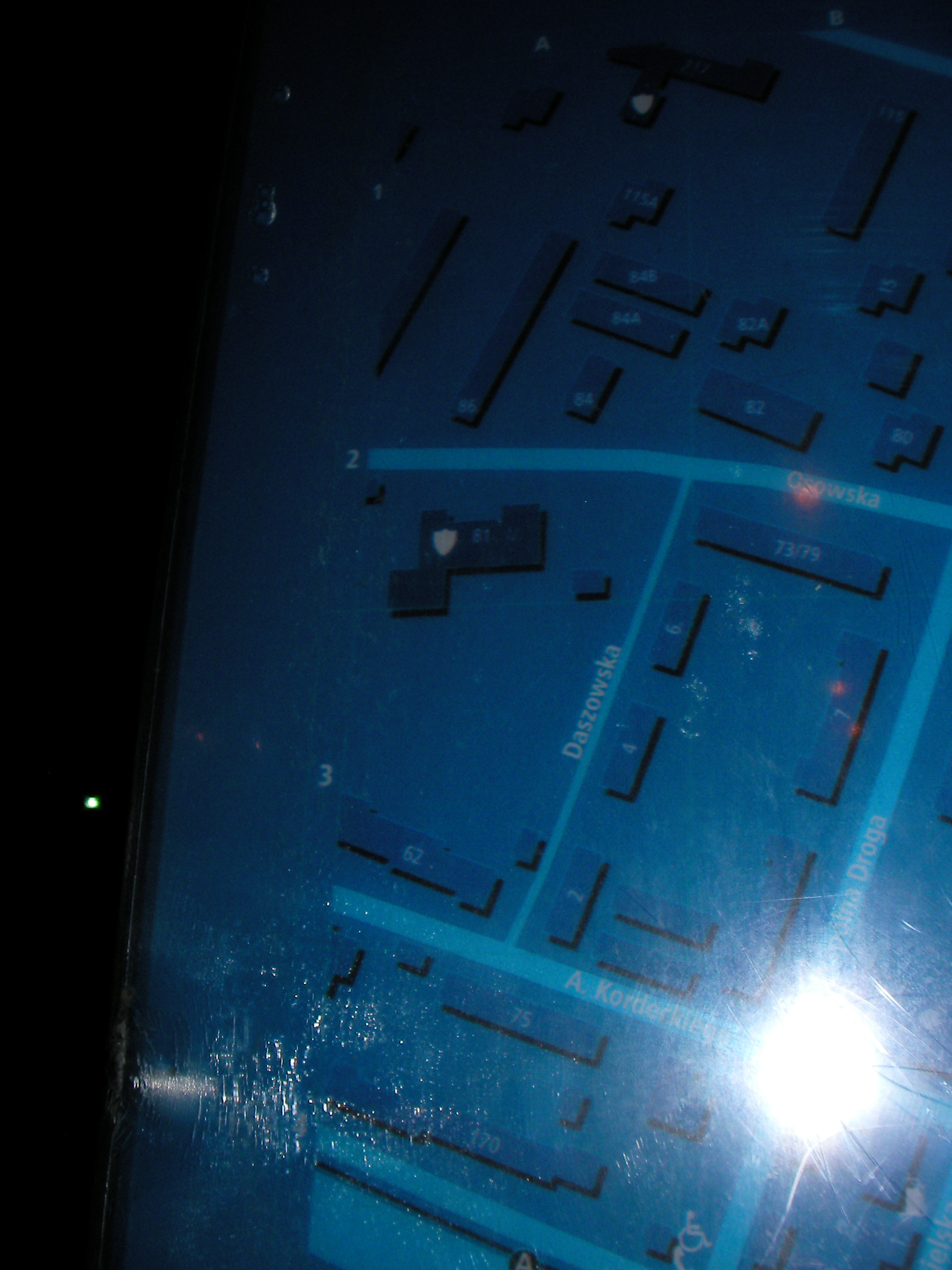
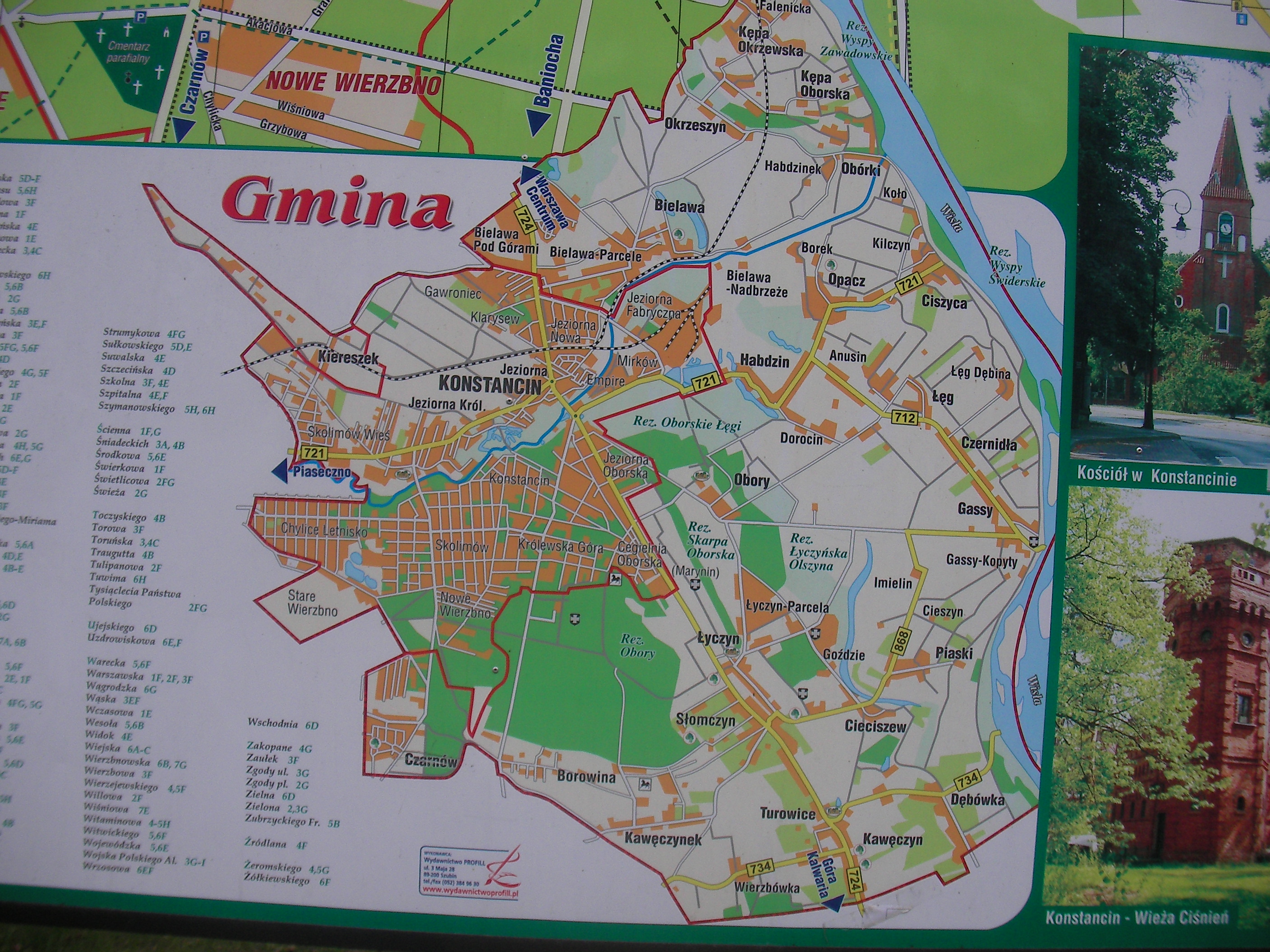
Konstancin-Jeziorna
On the side of Pułaskiego street (road 721). Very approximate location. This map is near or at a bus stop, however it's in a public space and in the middle of a street so this should be no issue. It's not operated by MSI and it's probably older.
- Pic.
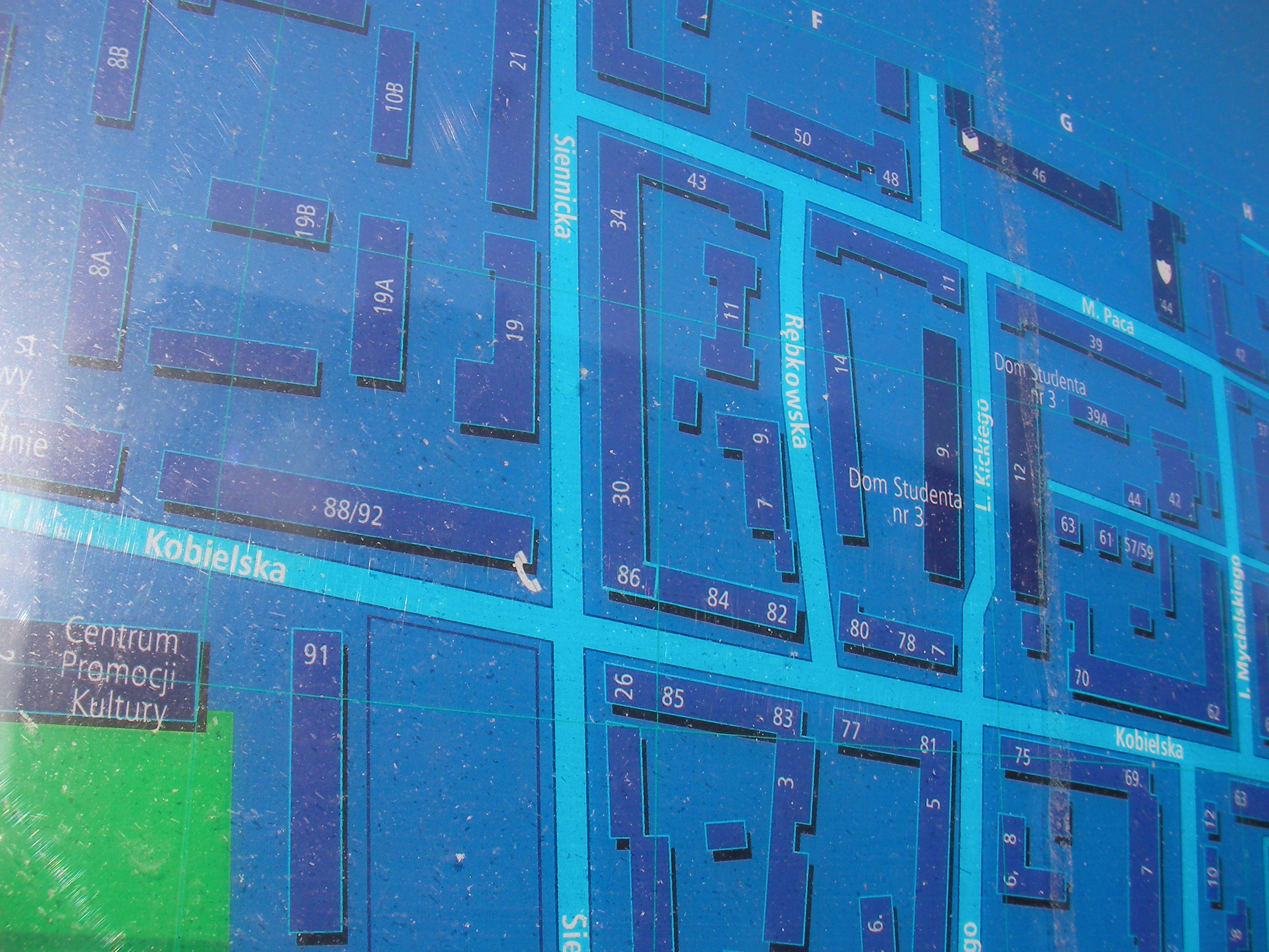
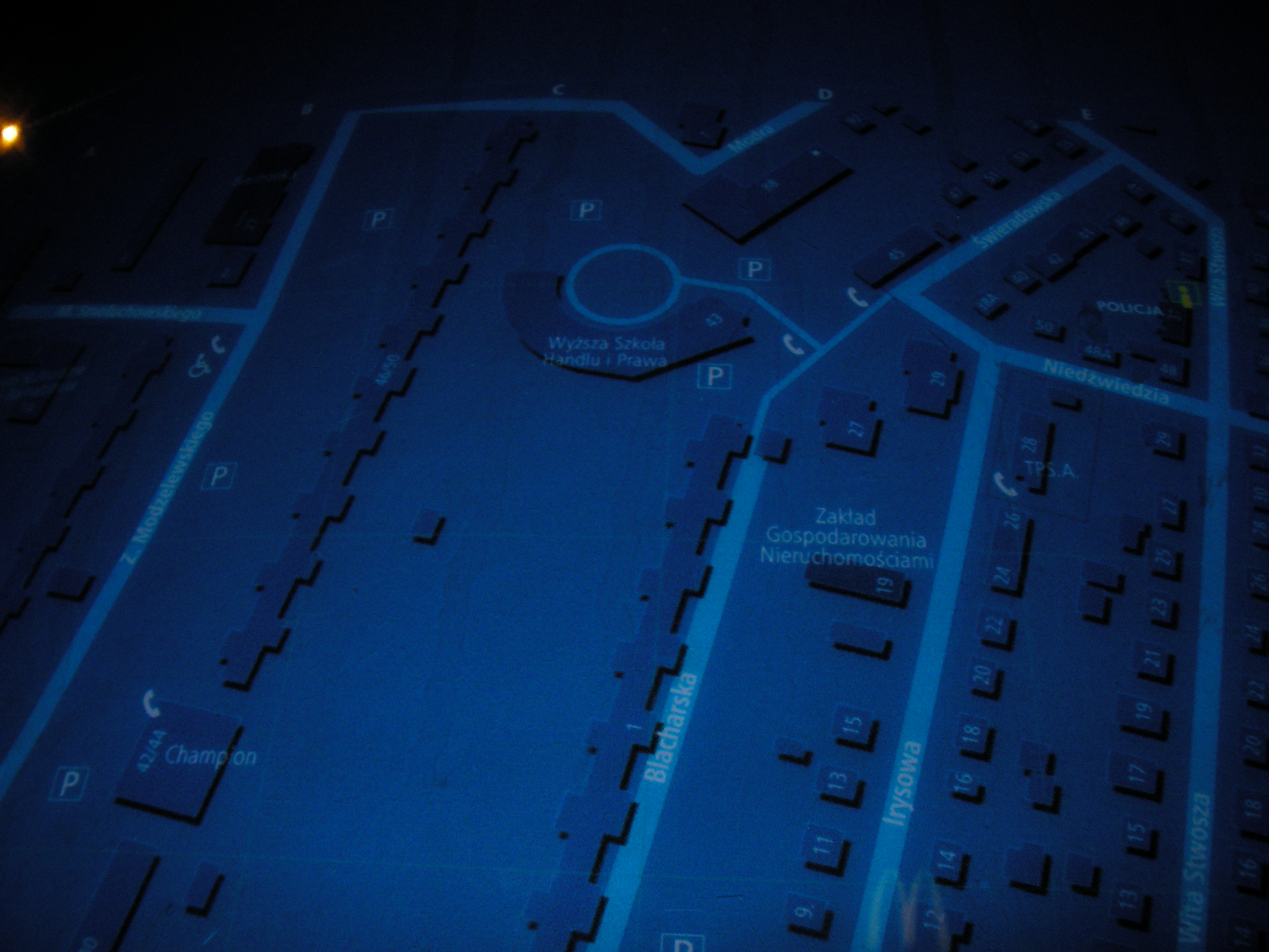
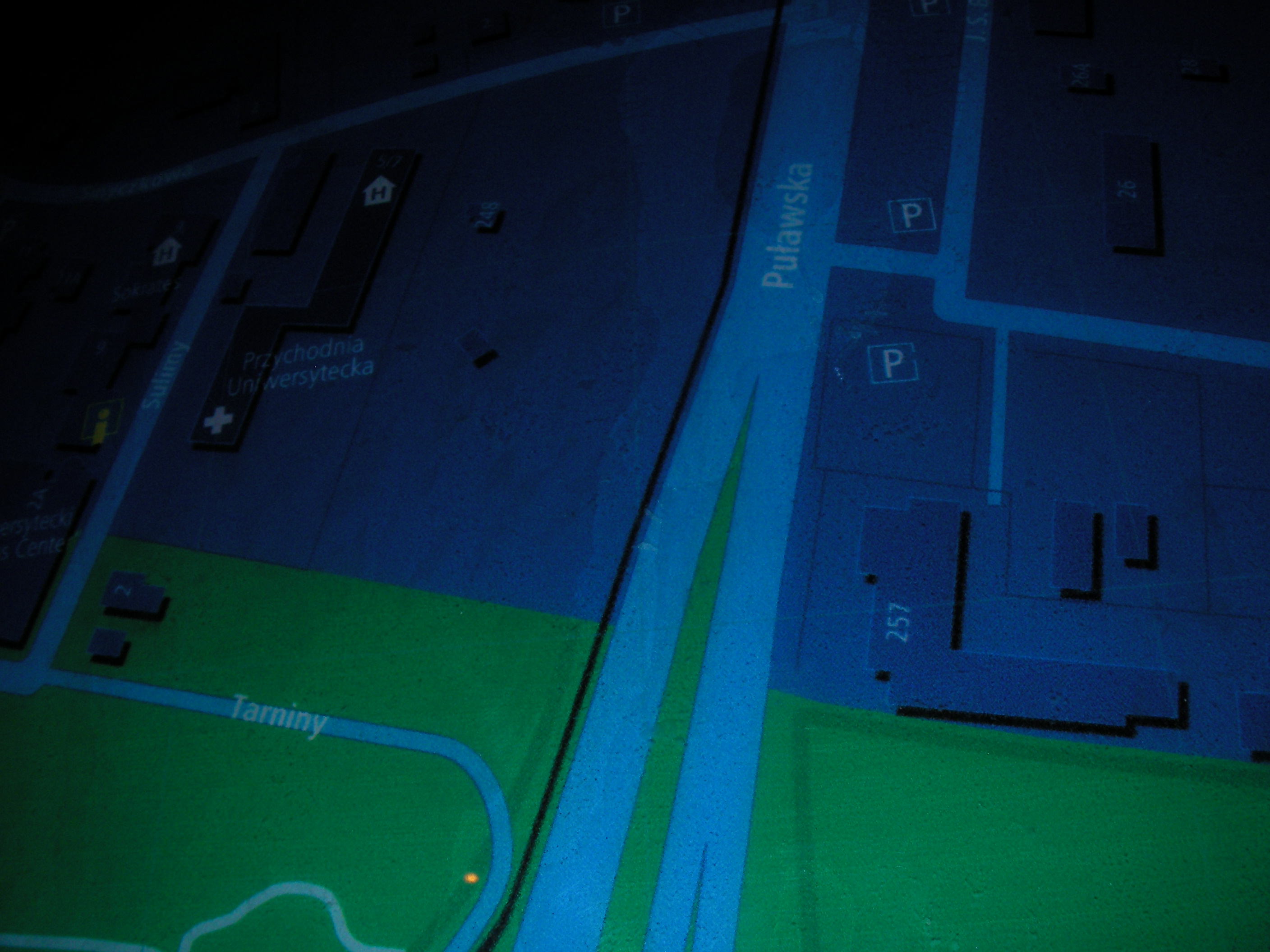
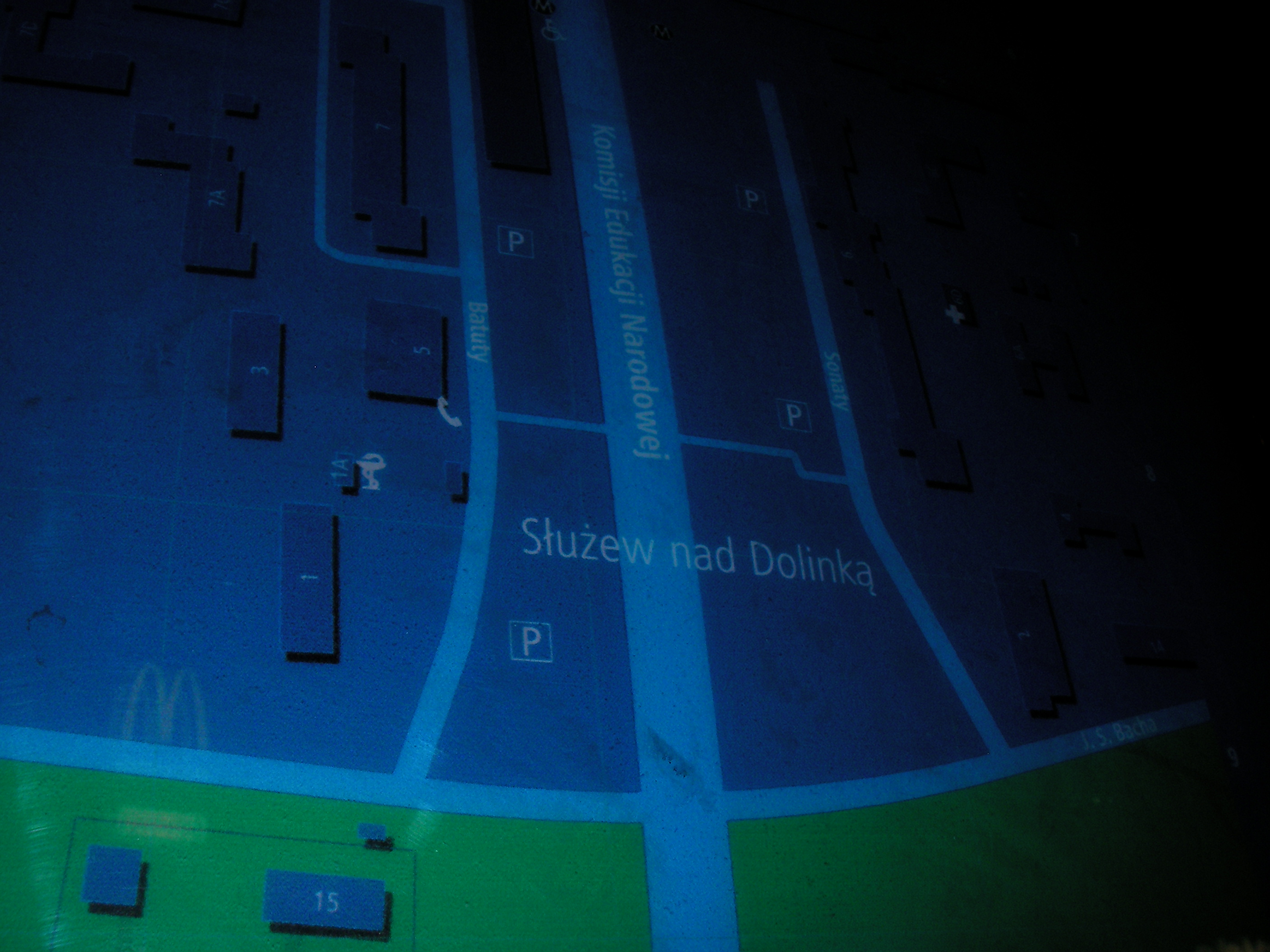
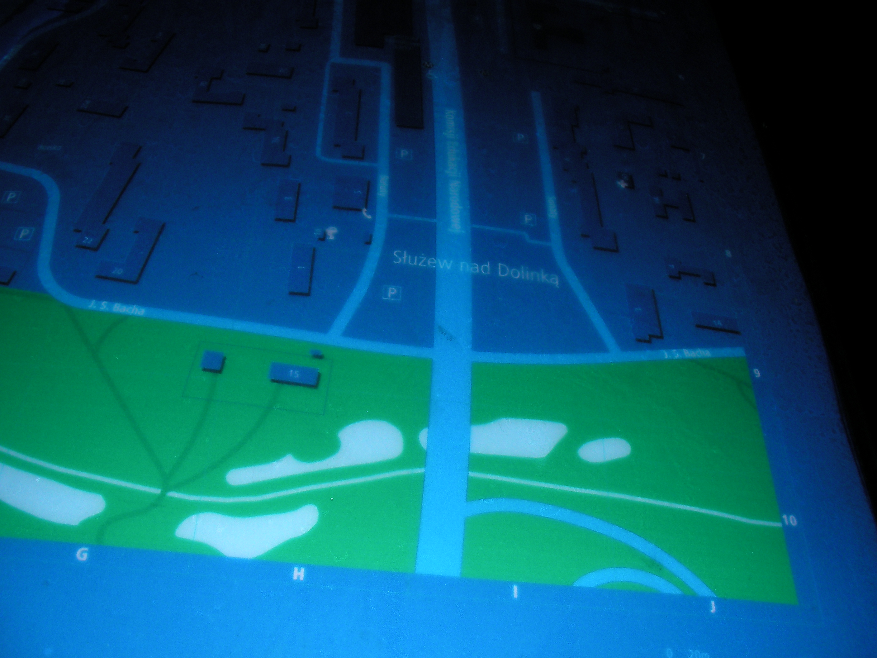
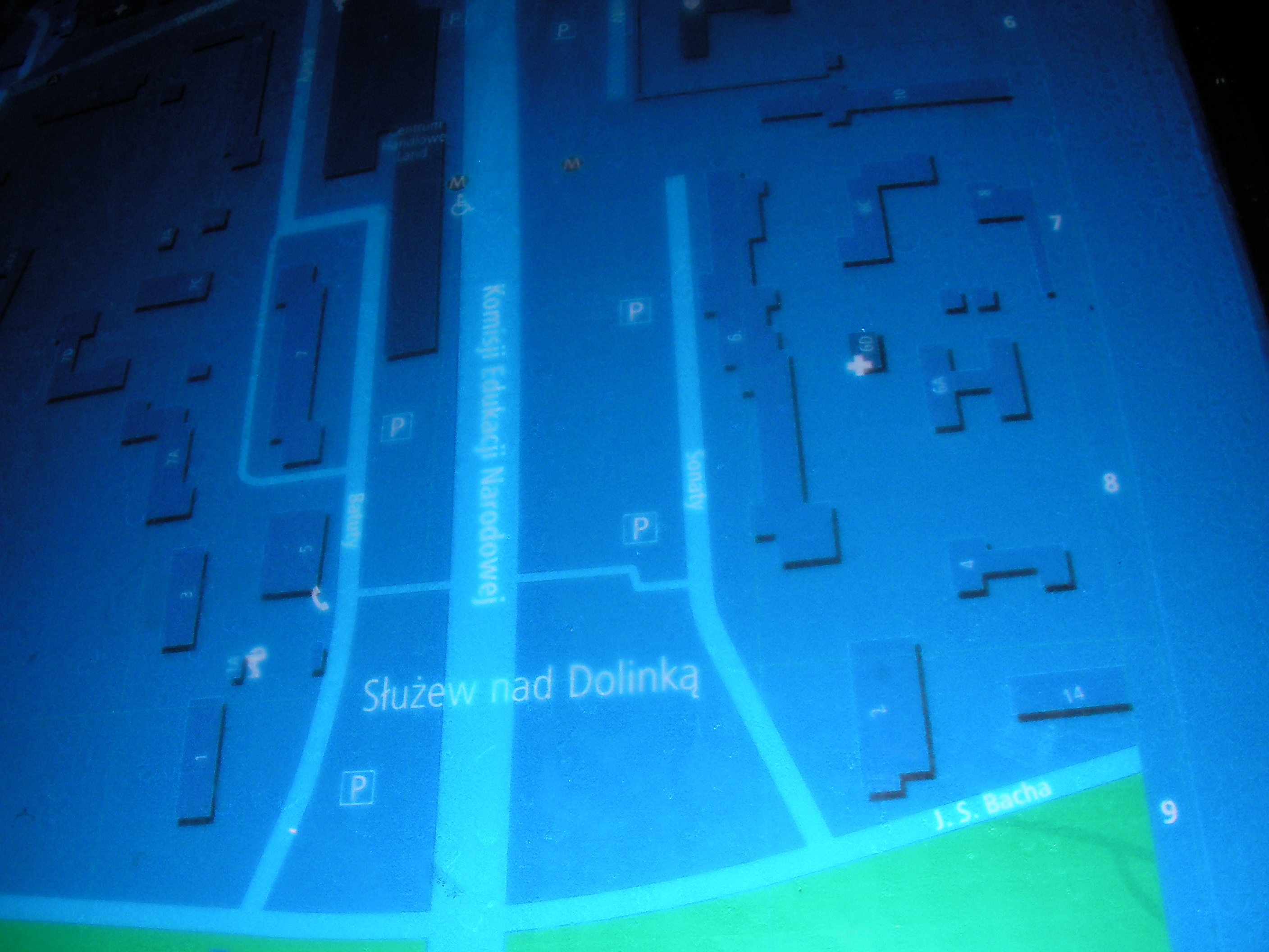
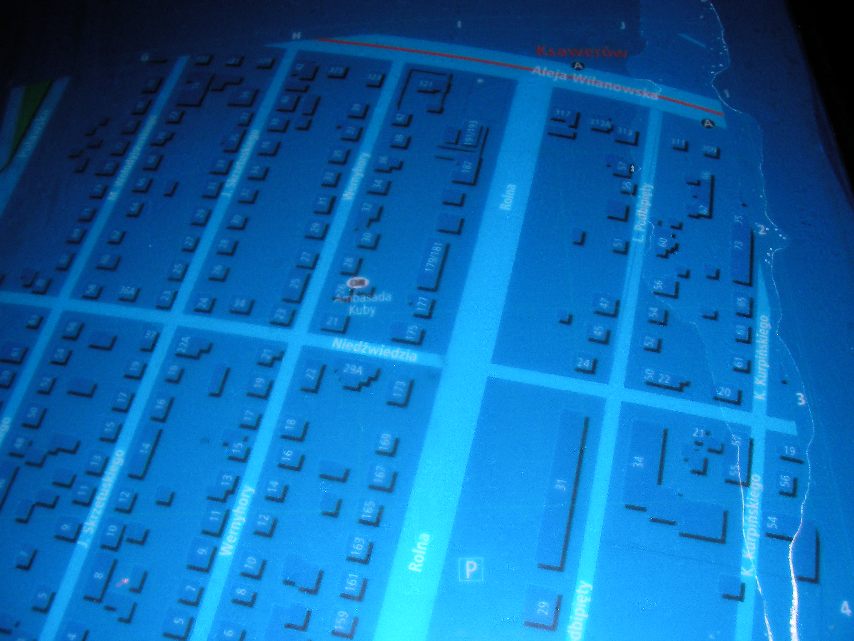
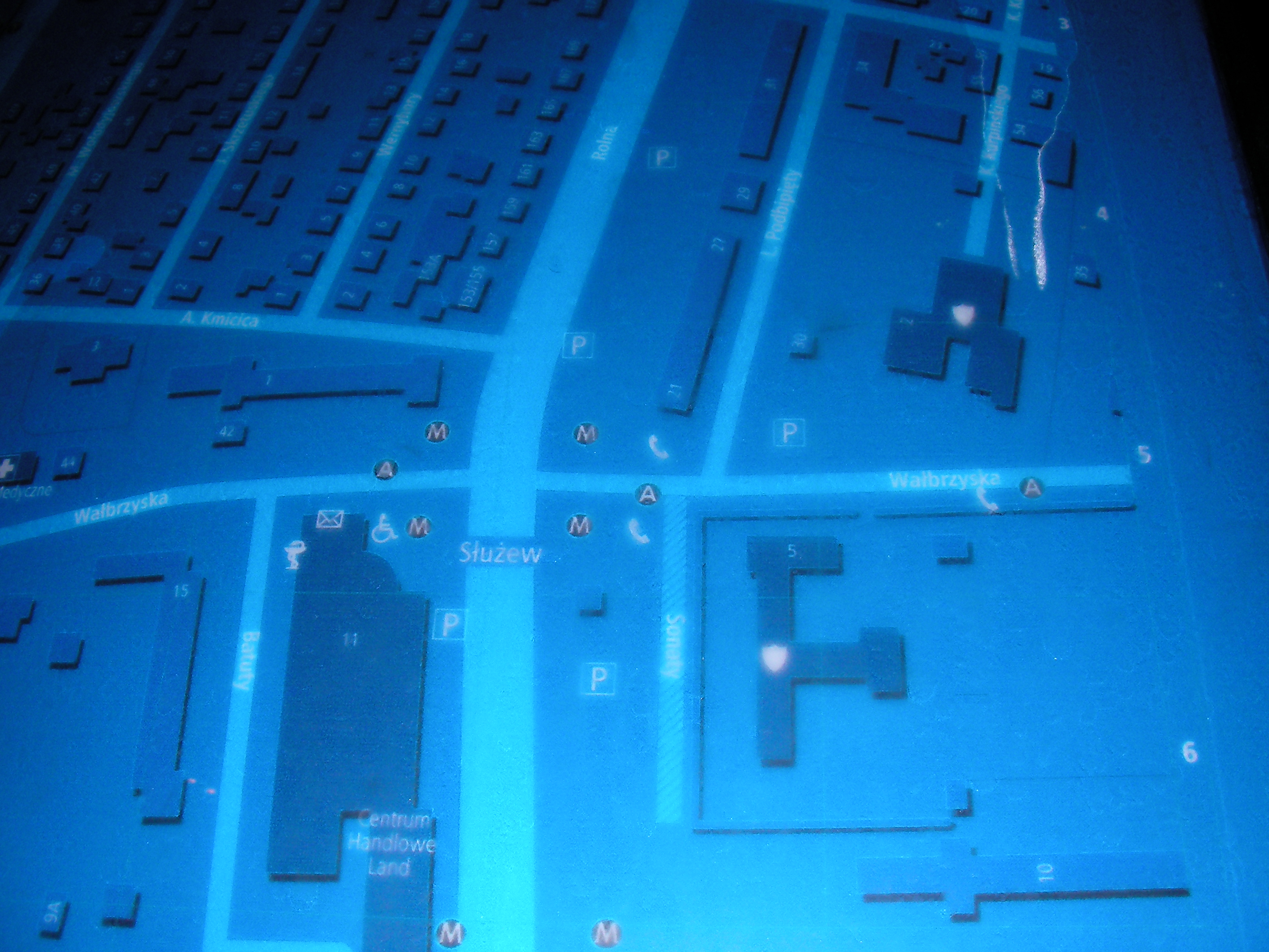
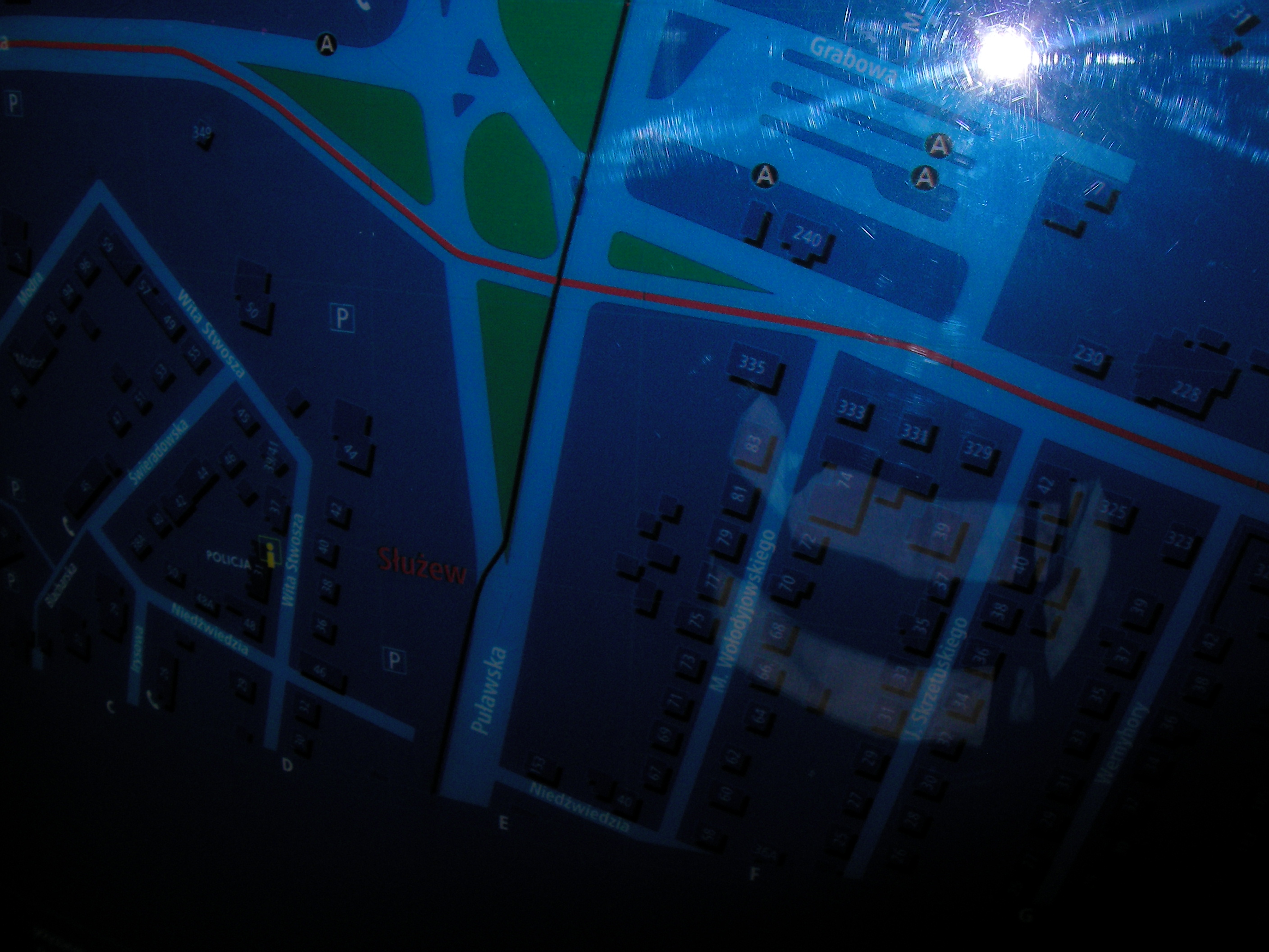
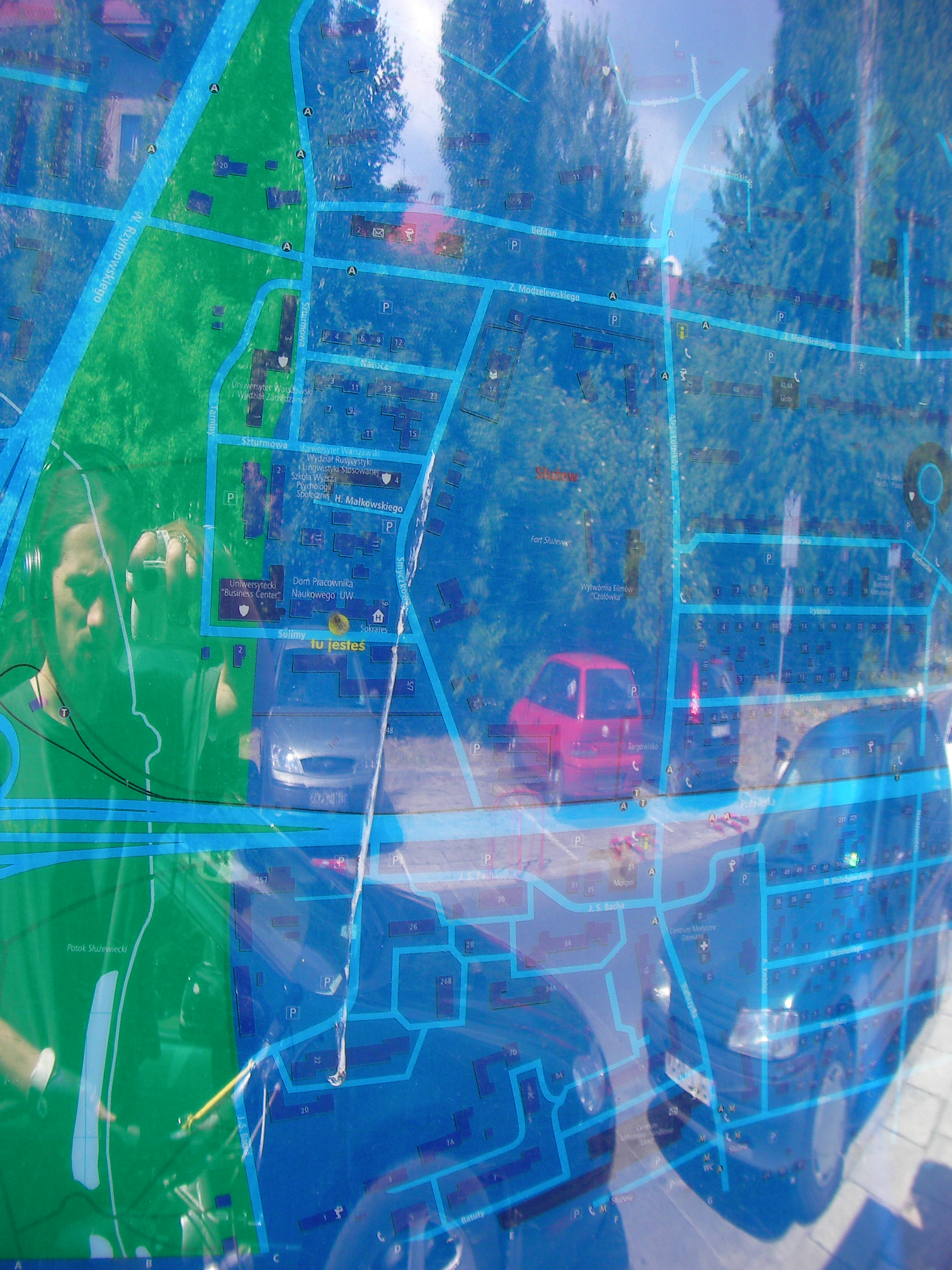
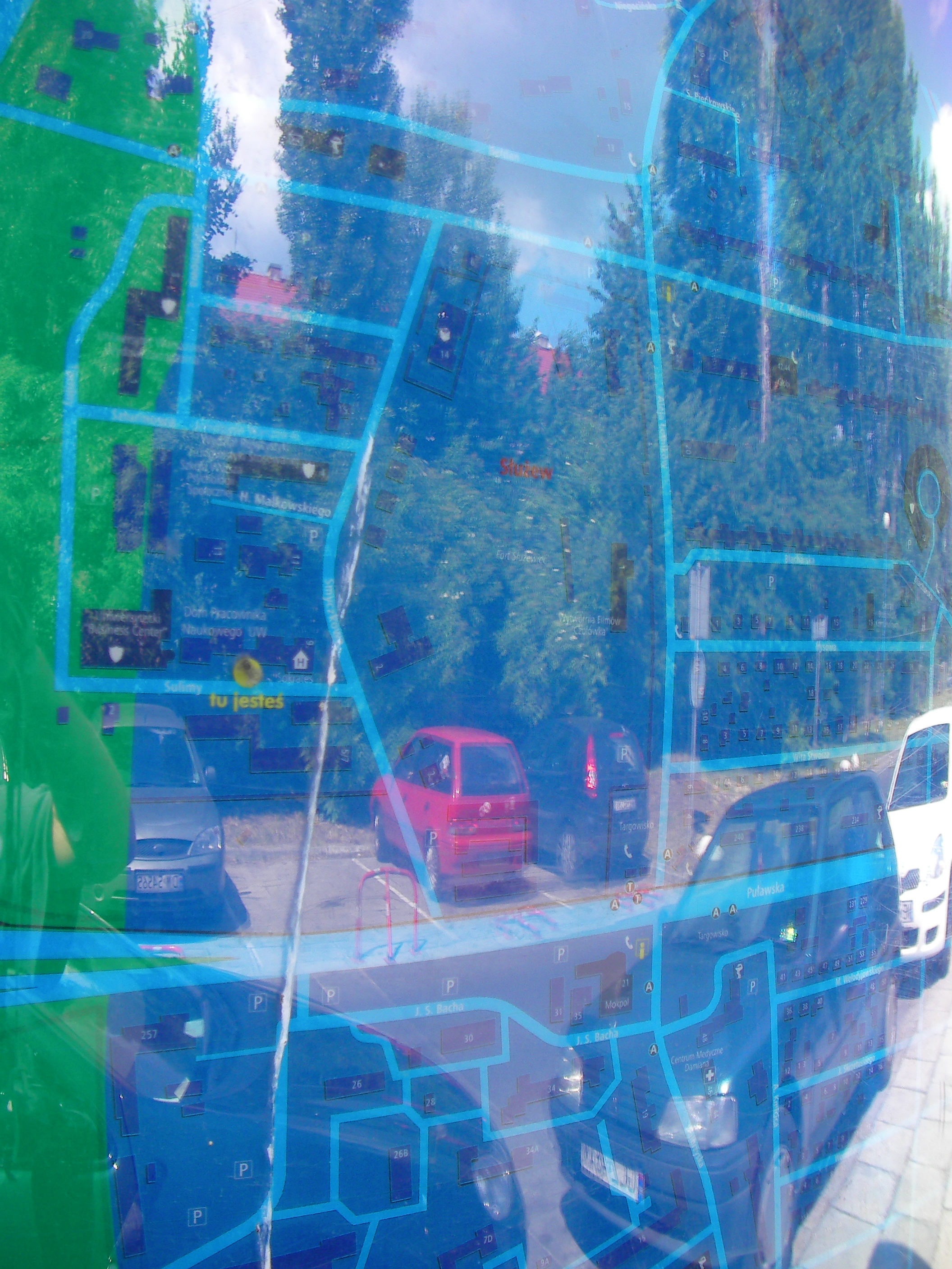
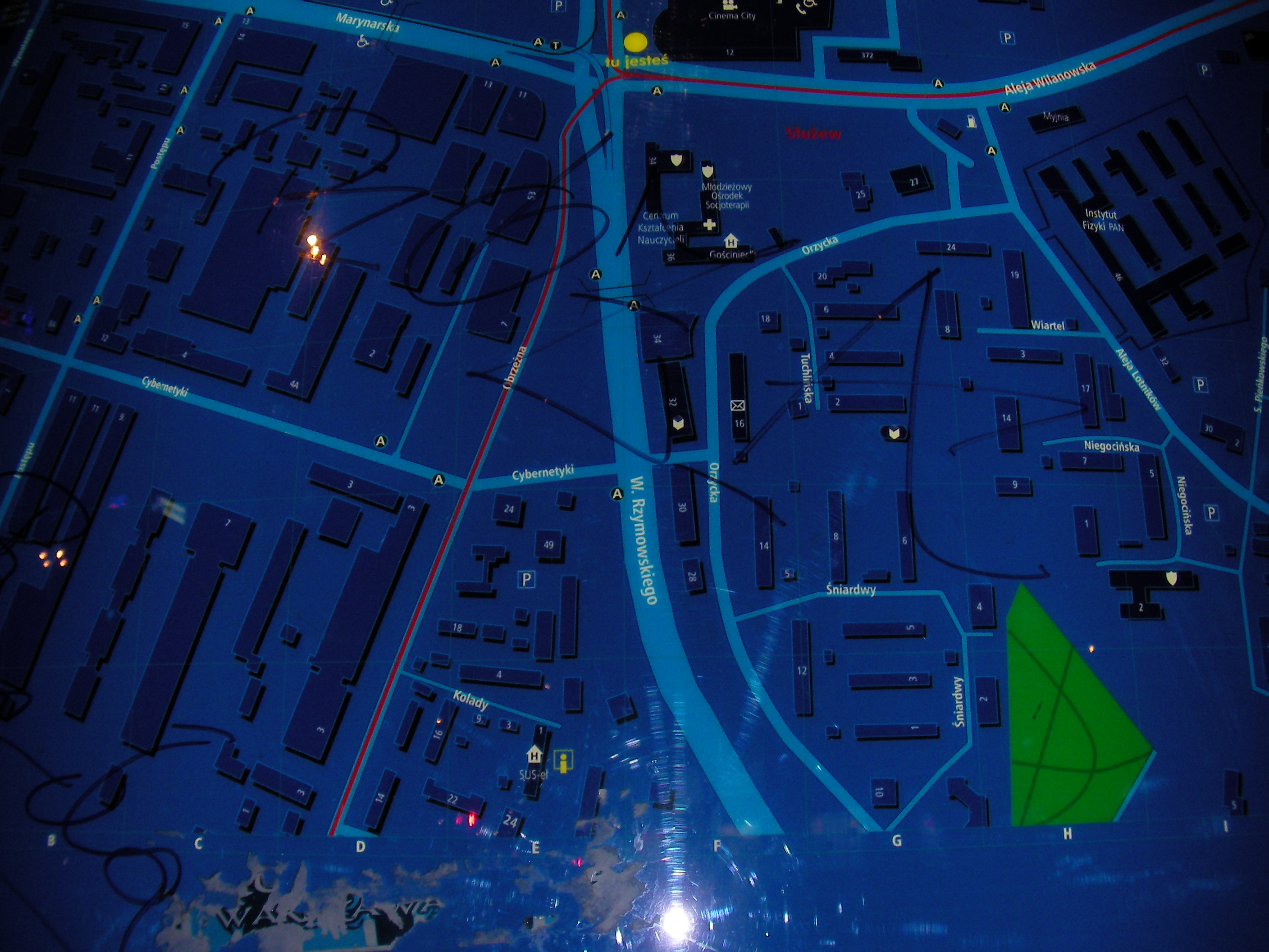
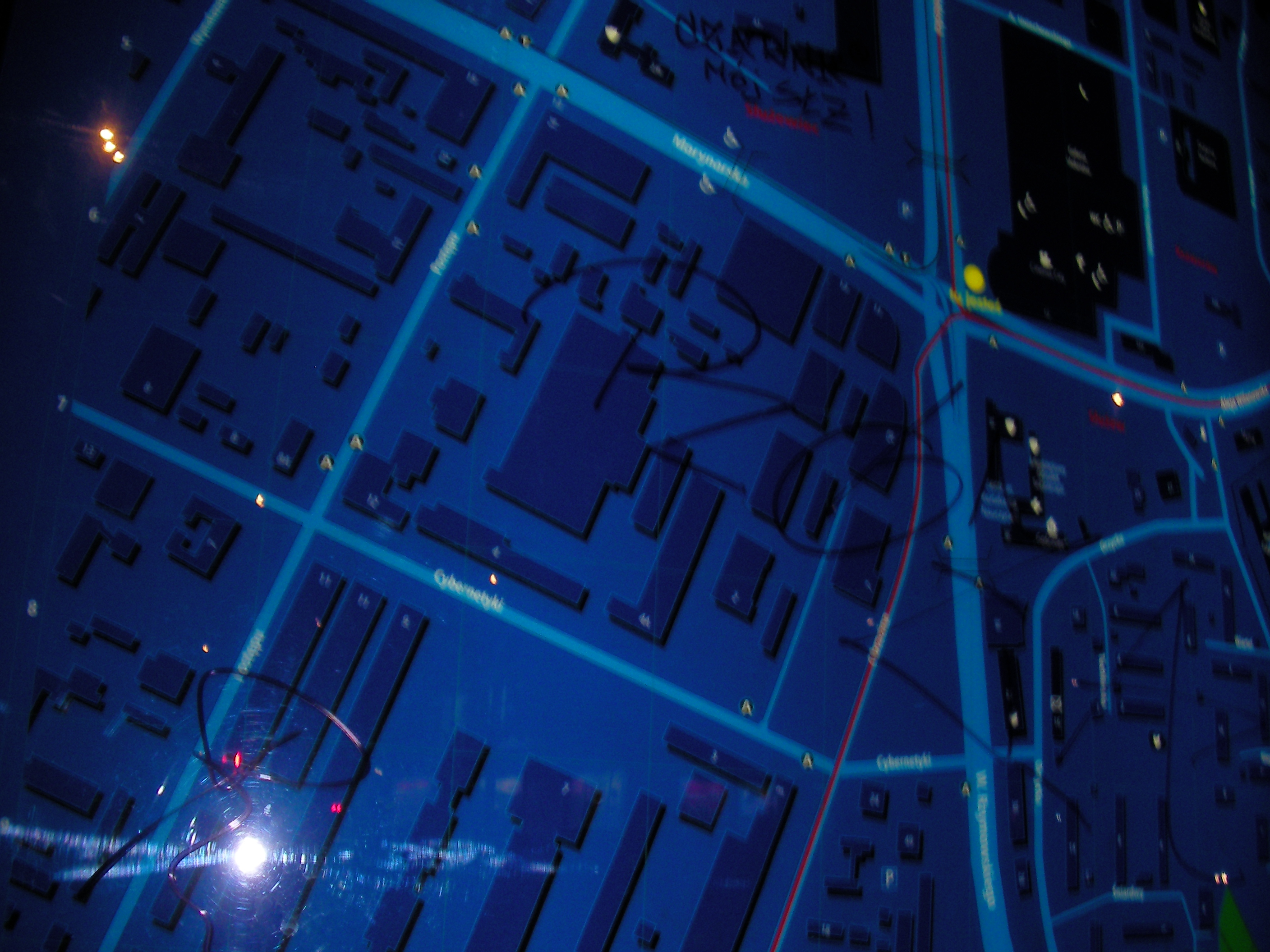
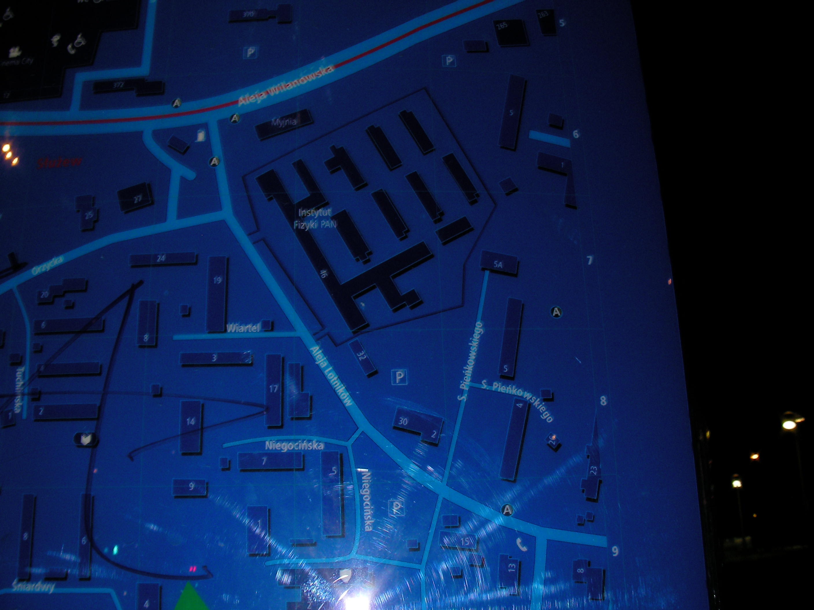
Służew
On the side of Sulimy street, Warsaw University area. Approximate location.
- Right half, Middle, Right, Bottom, Top.
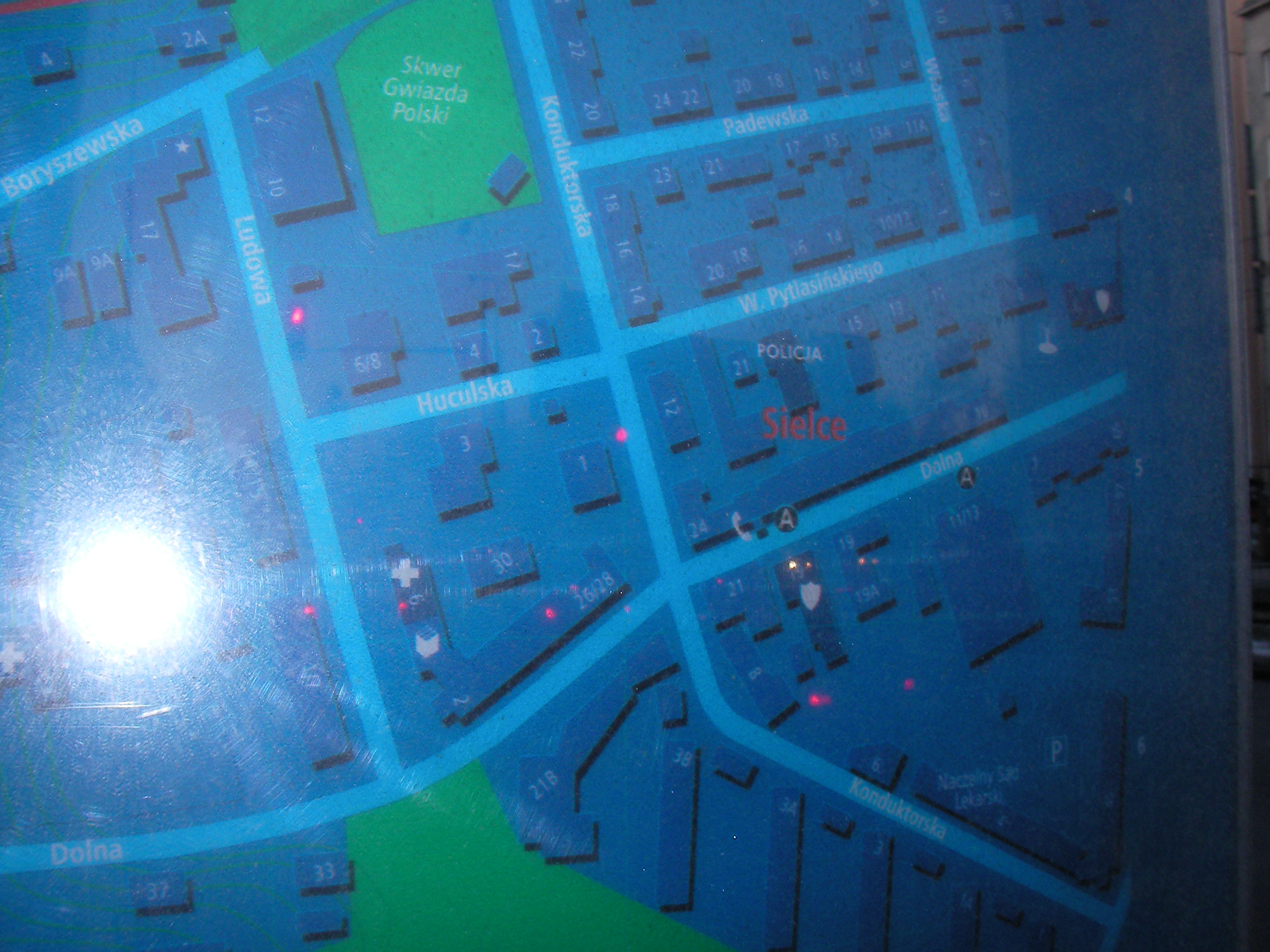
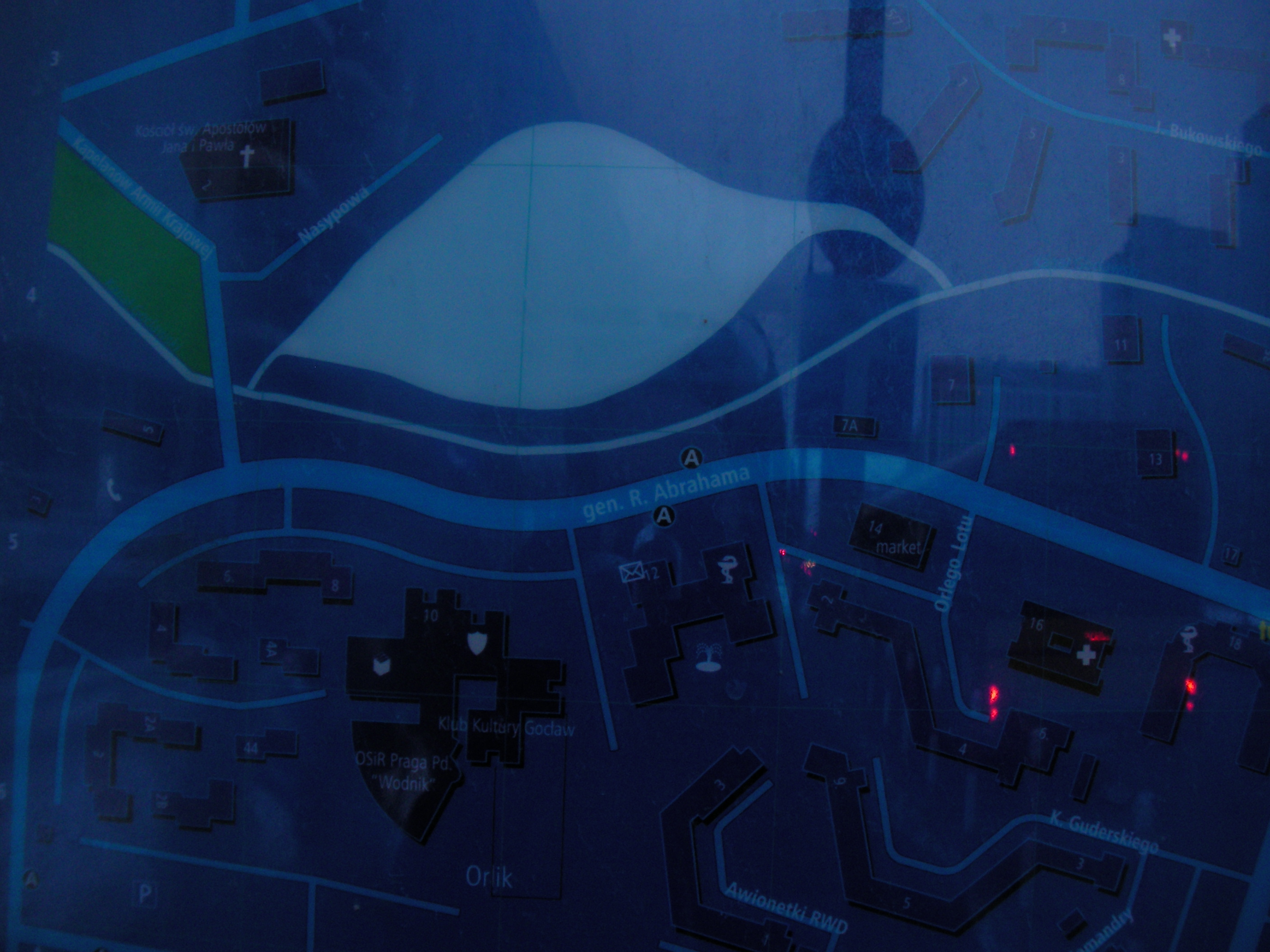
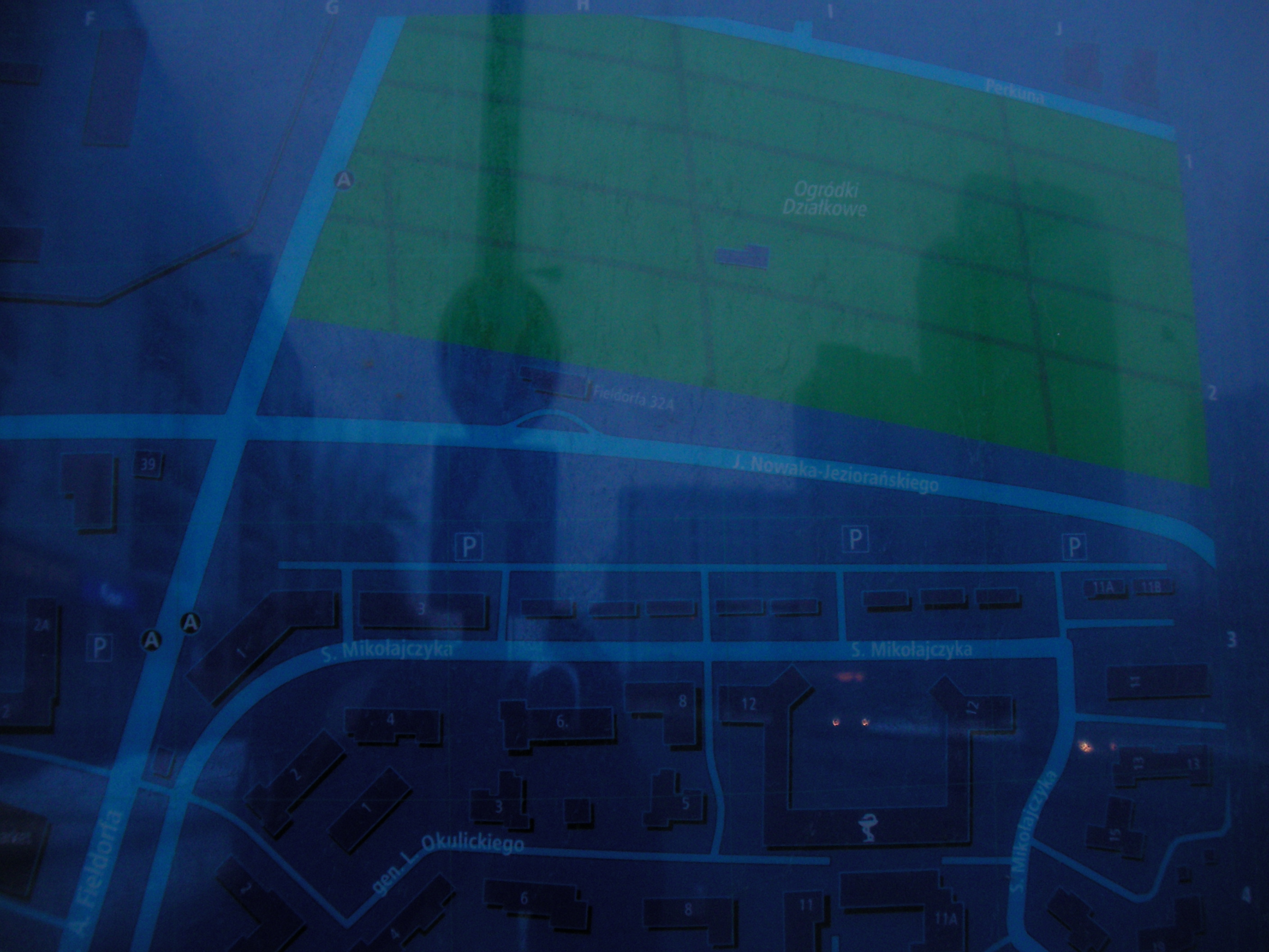
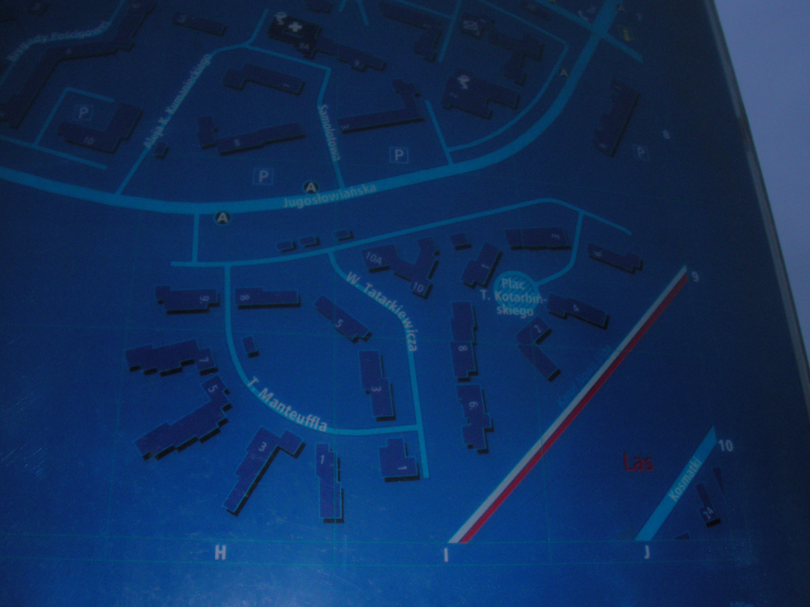
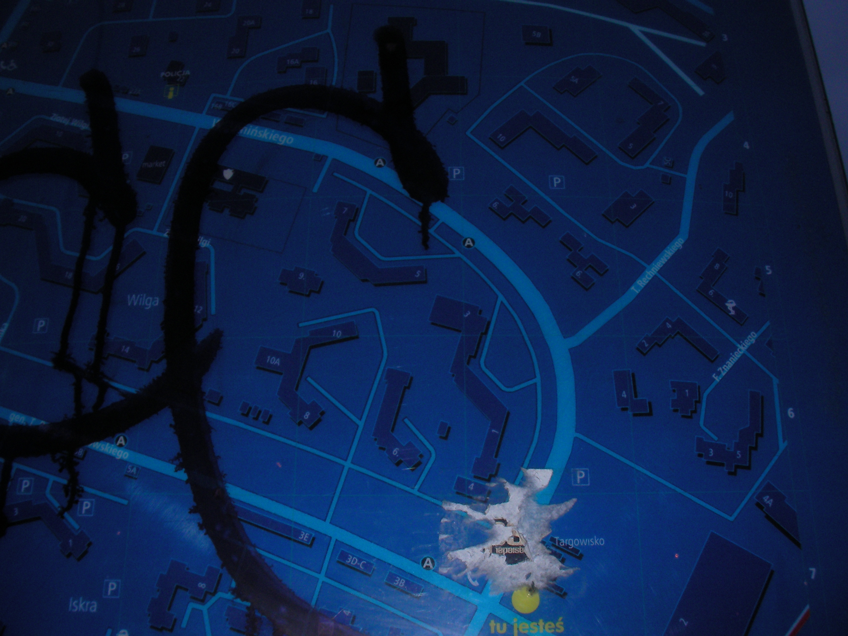
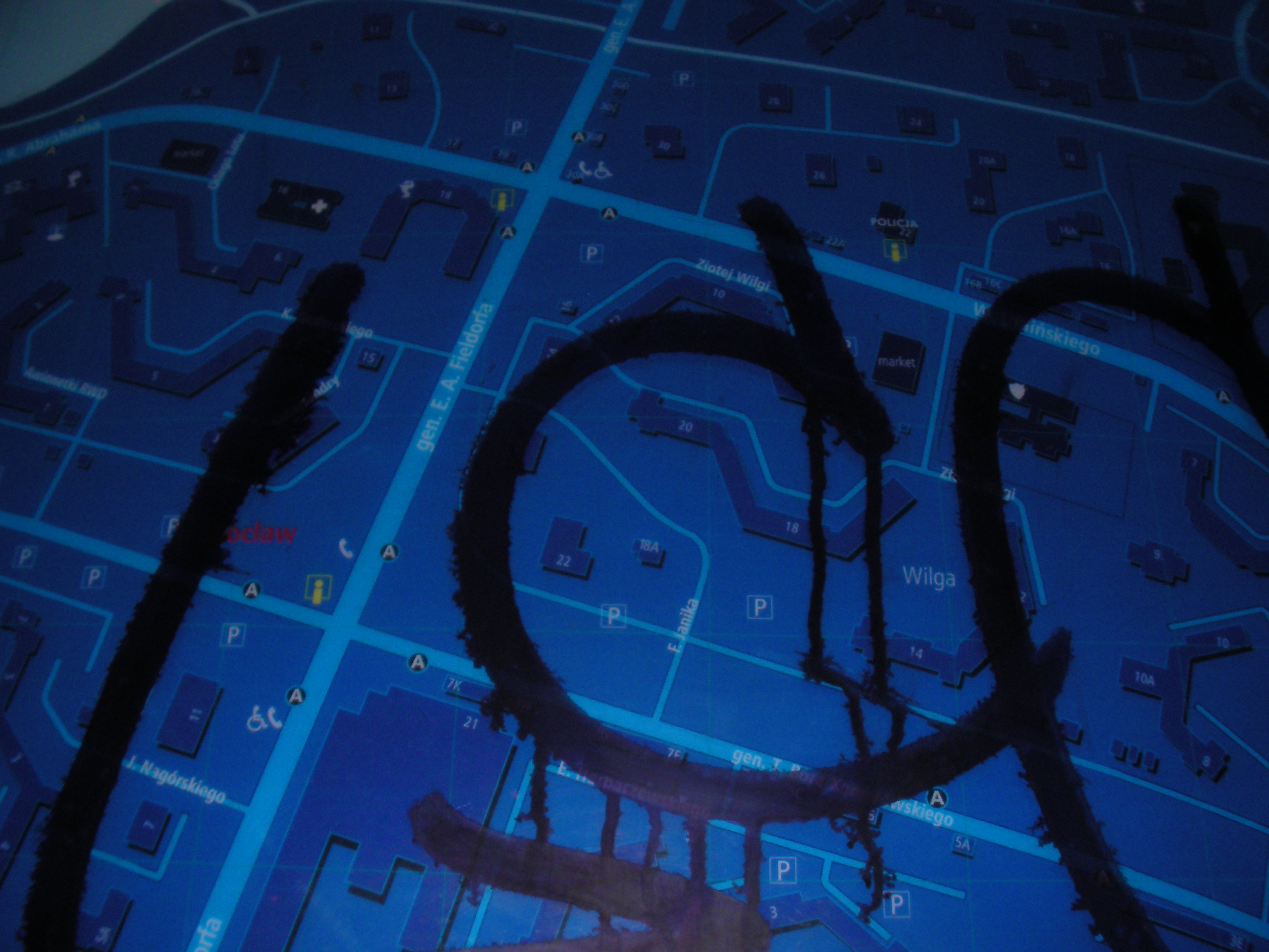
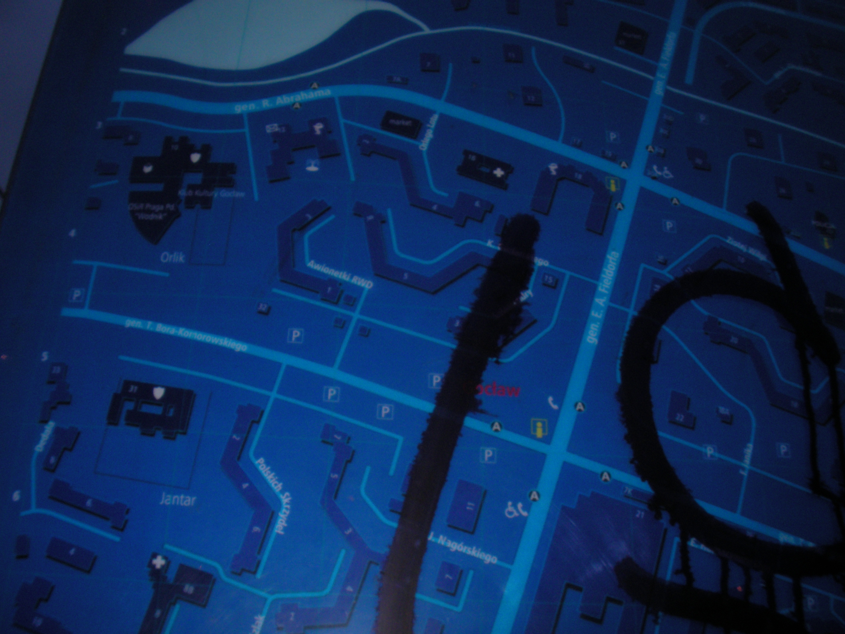
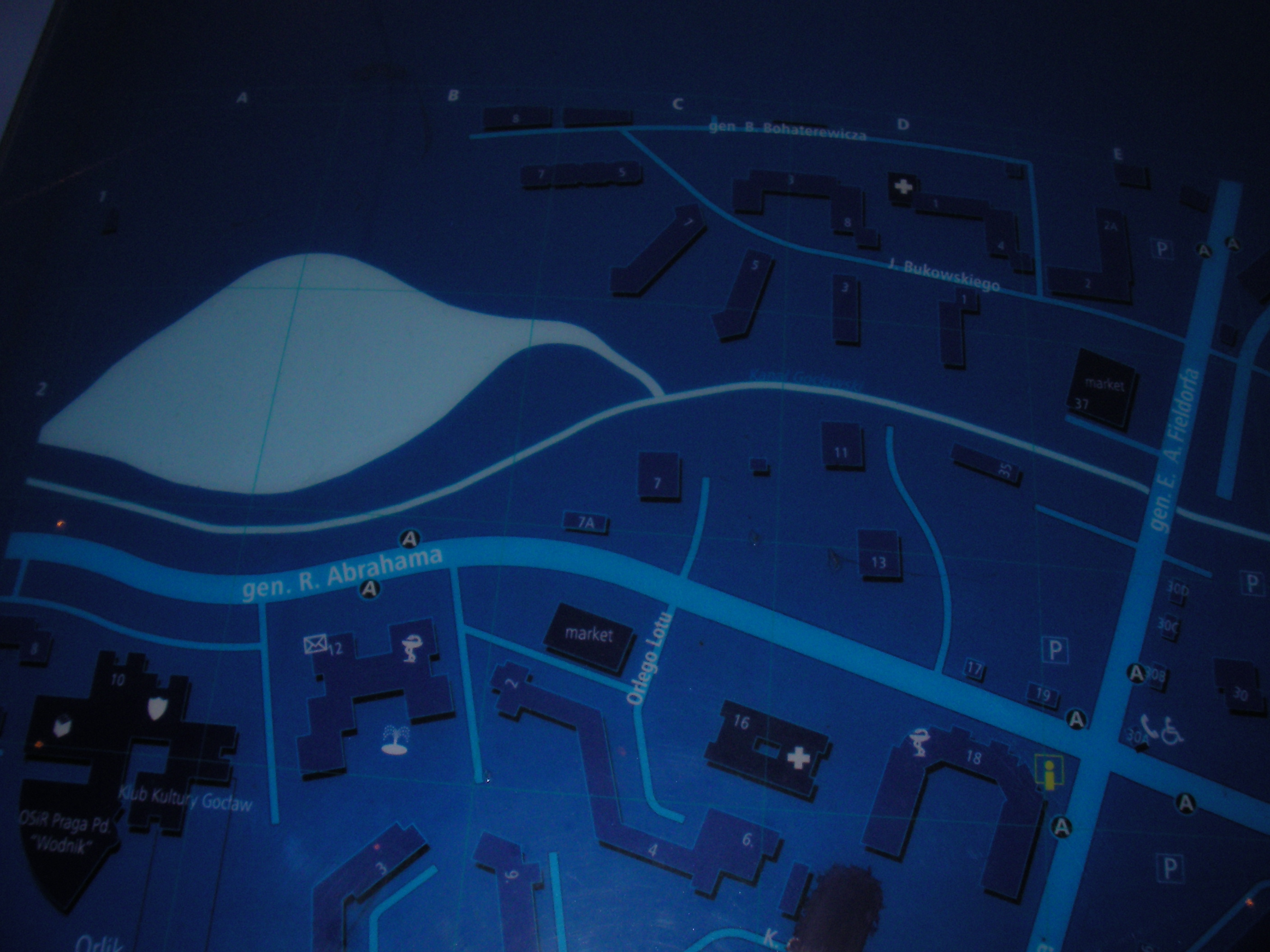
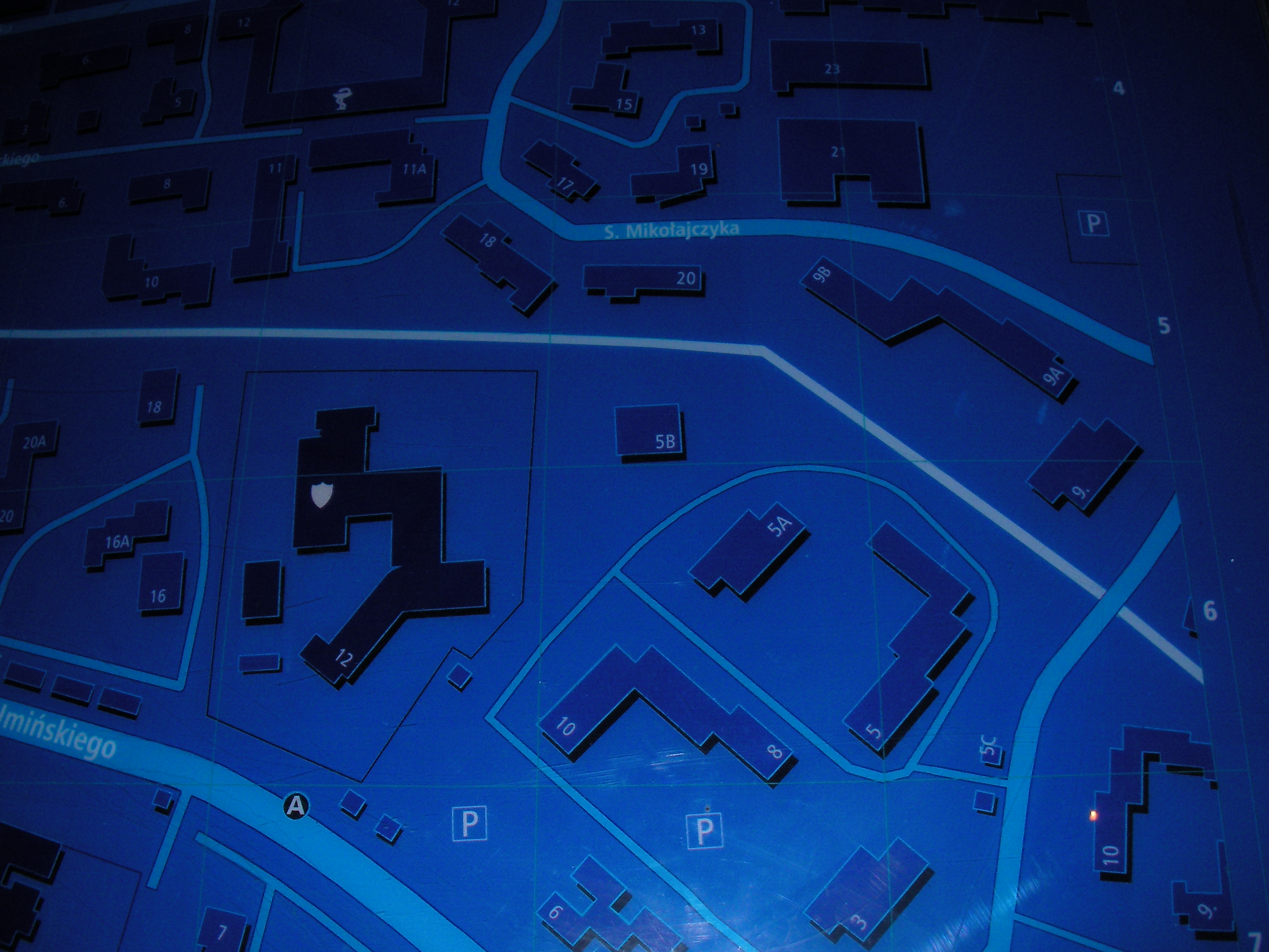
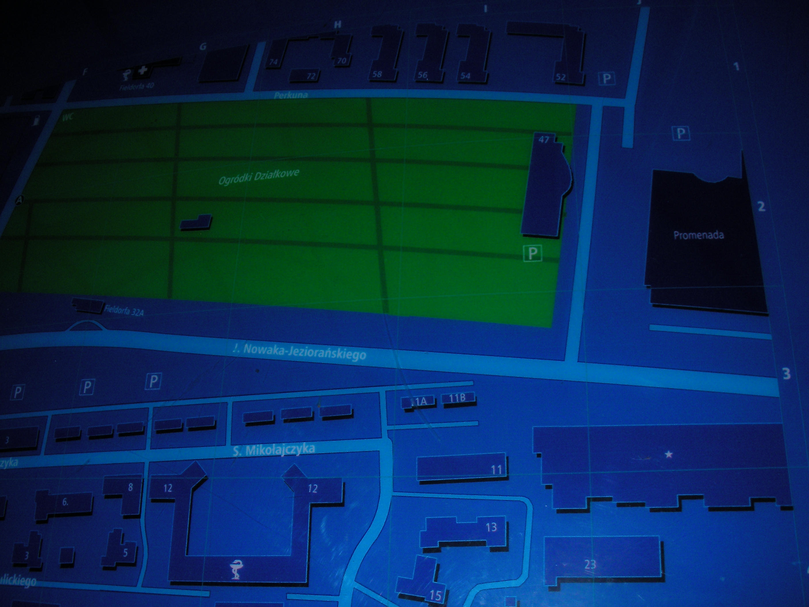
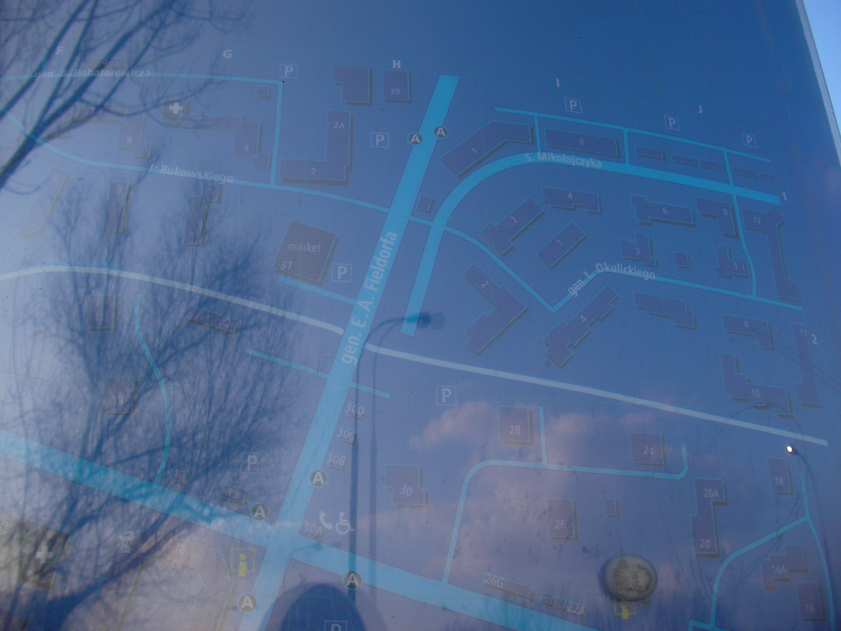
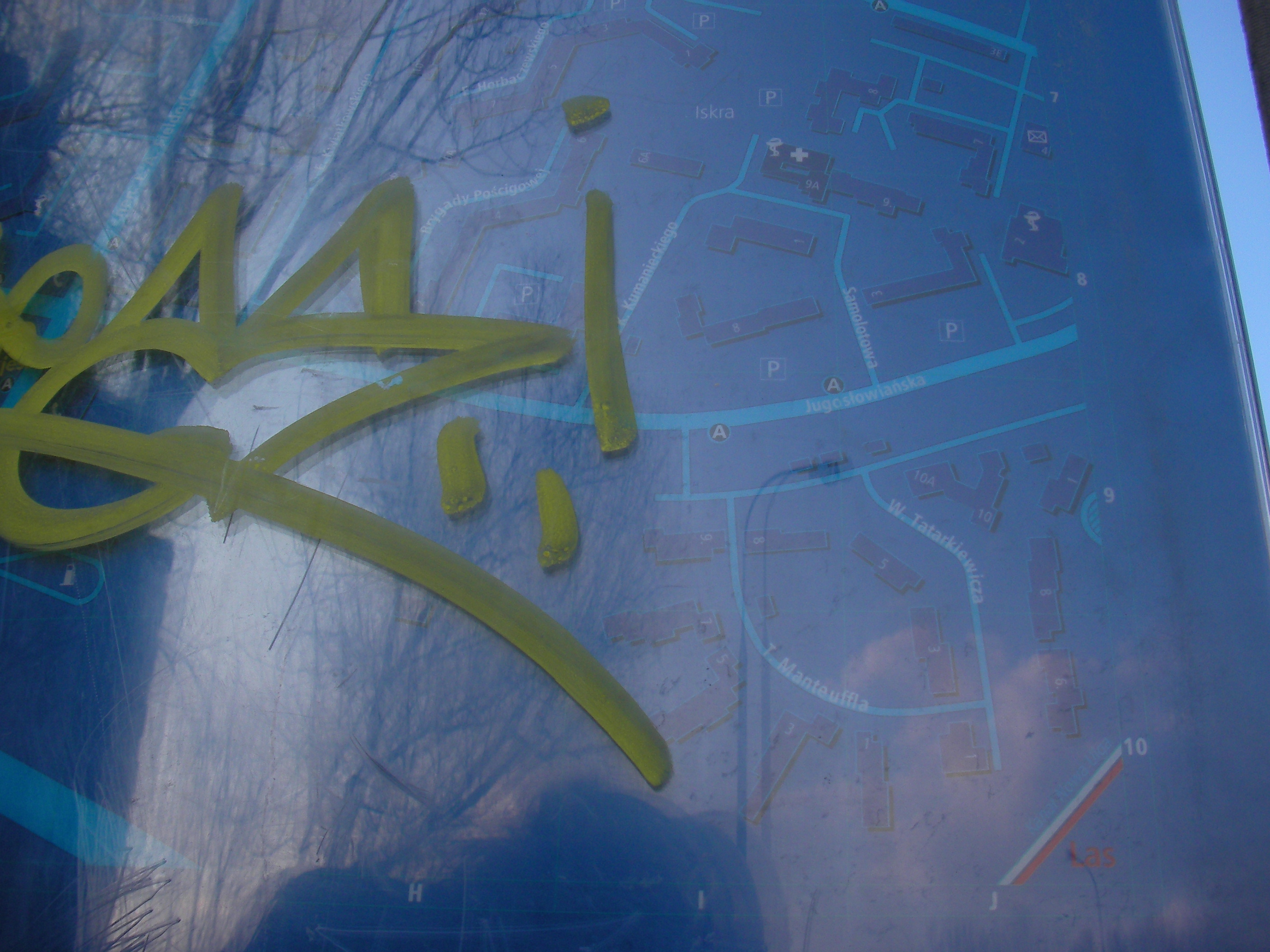
Abrahama
Crossing of Abrahama and Fieldorfa streets in Saska Kępa. Approximate location.
- Bottom-left, Bottom, Bottom-right, Left, Middle, Middle, Right, Top-left, Top, Top-right, Middle, Bottom, Bottom-right, Bottom-left, Top-left.
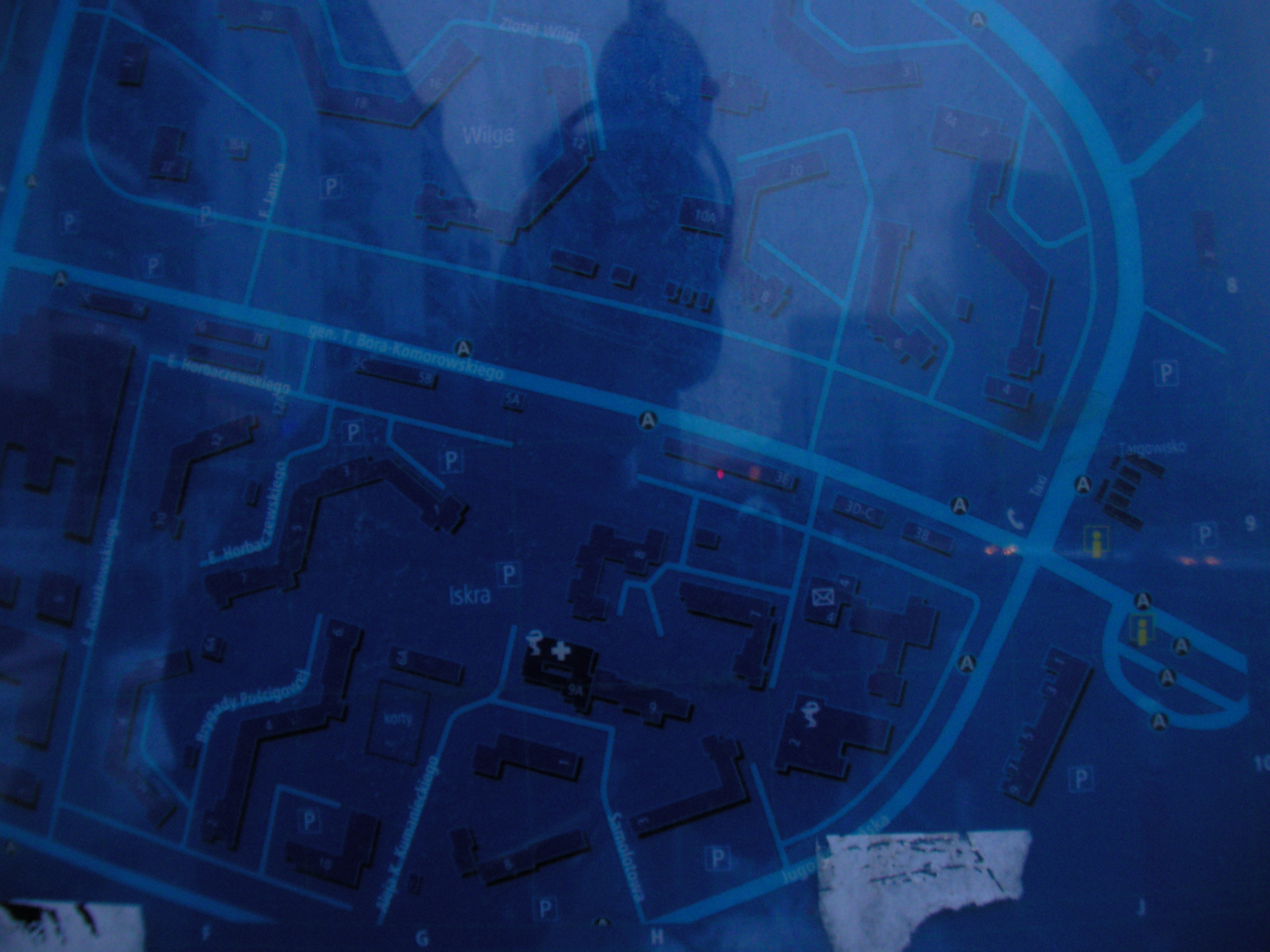
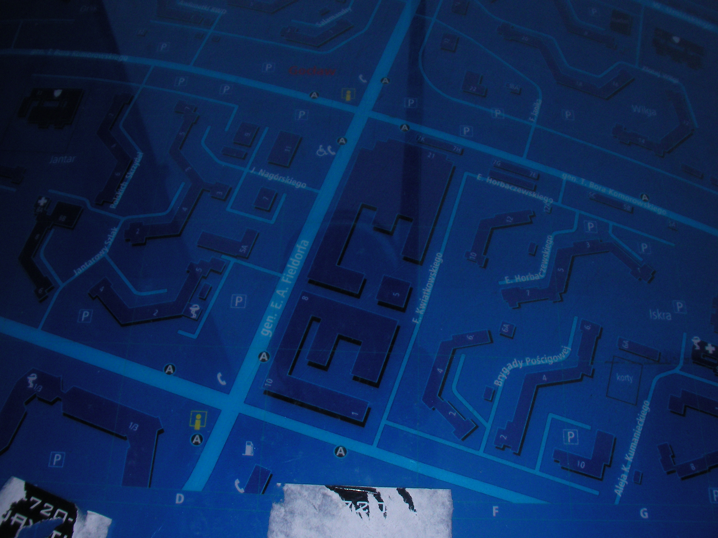
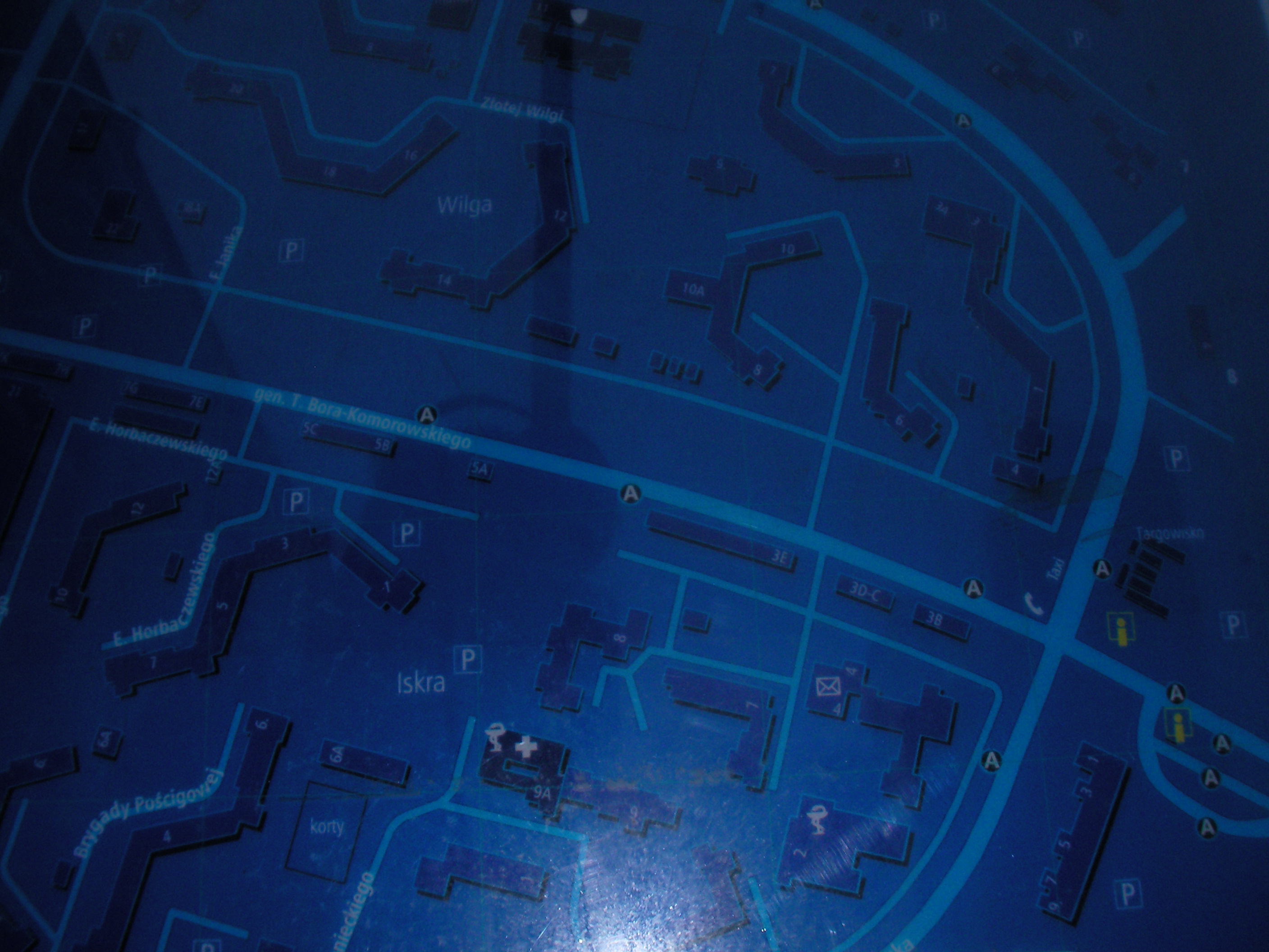
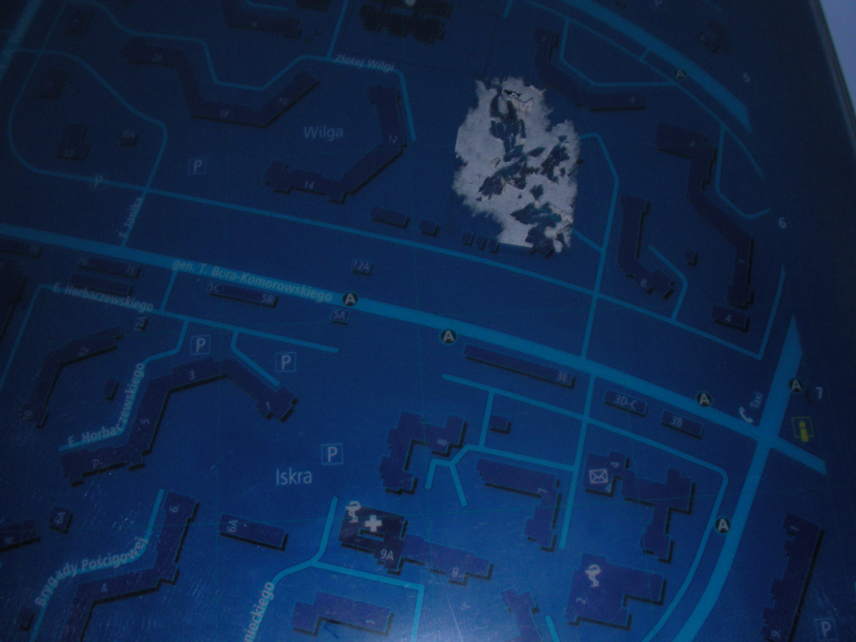
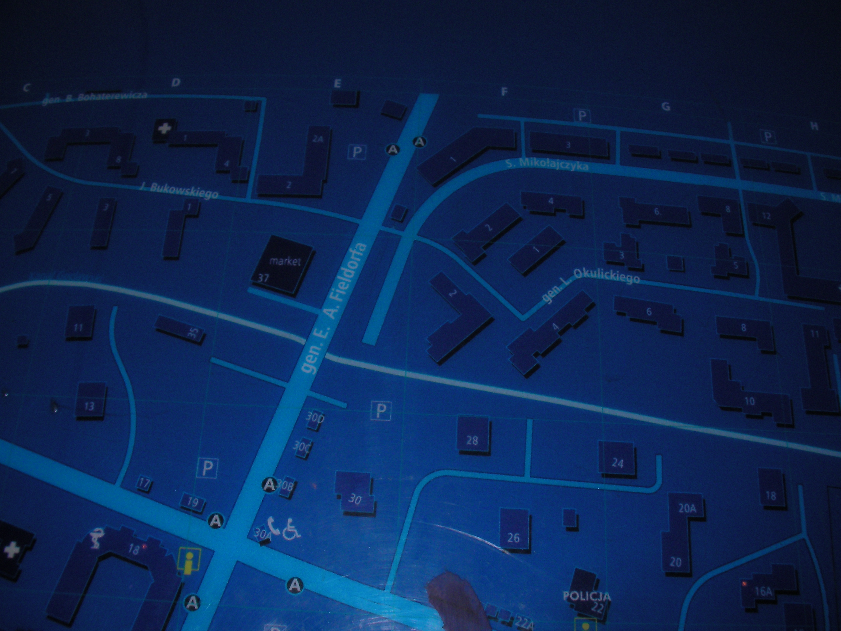
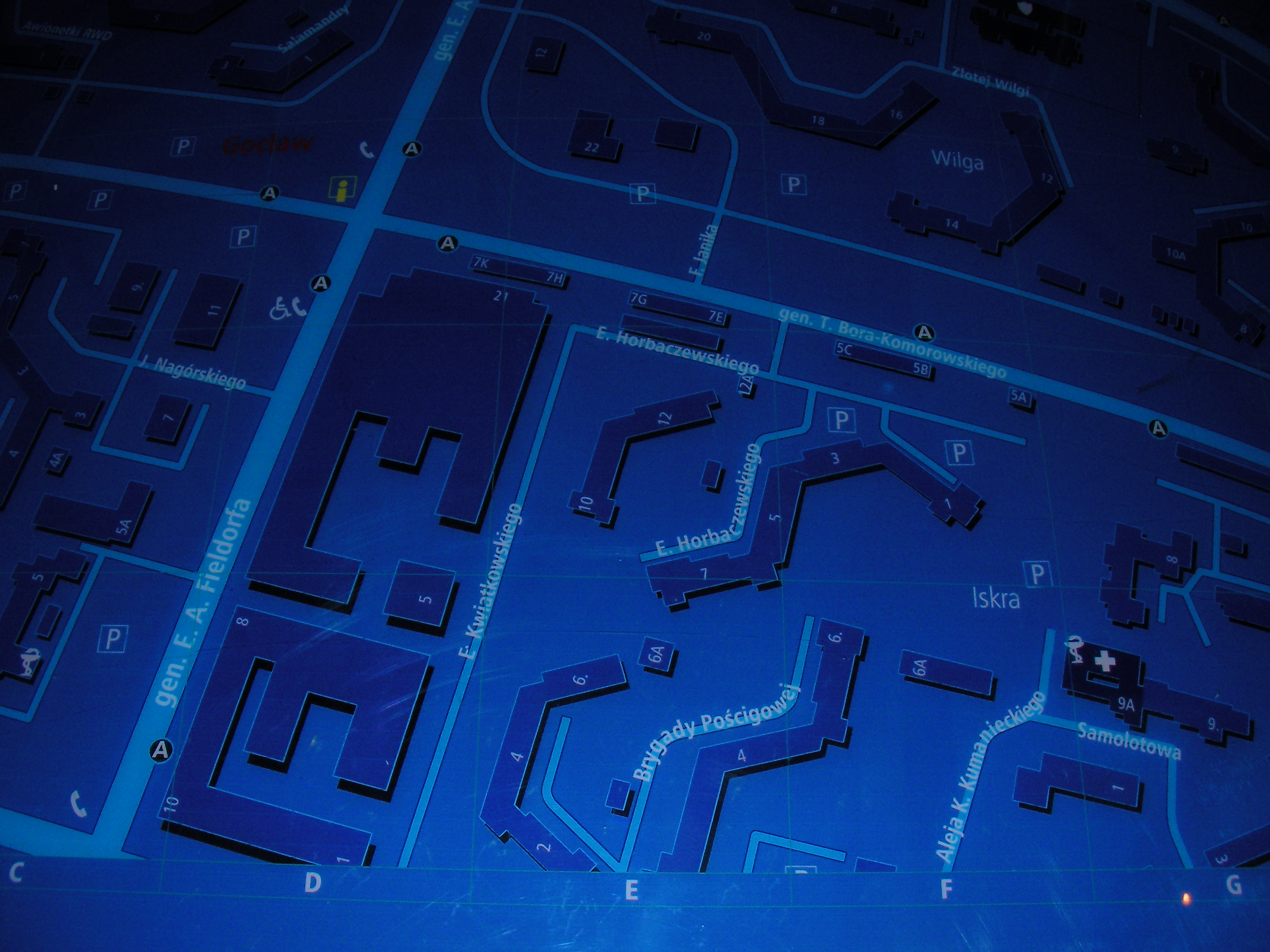
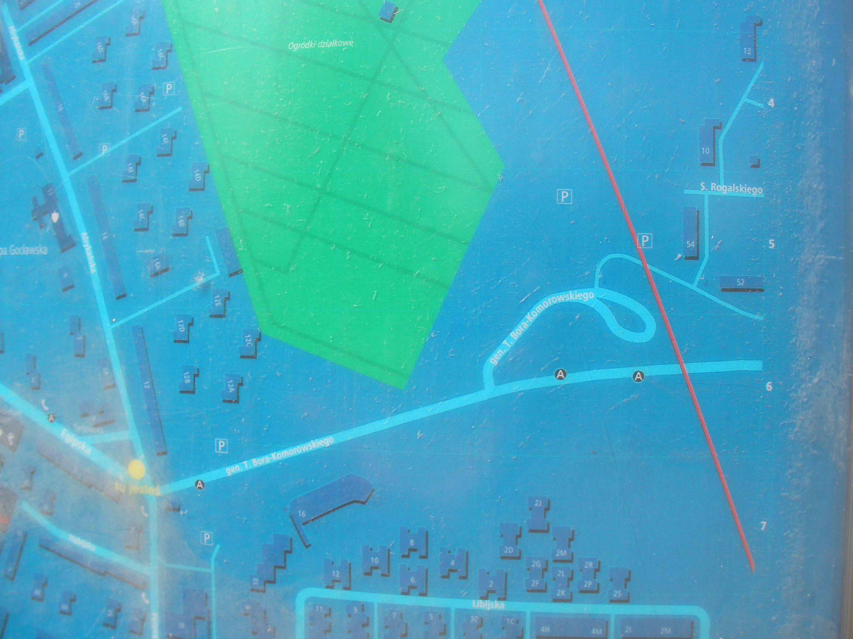
Bora-Komorowskiego
Crossing of Bora-Komorowskiego and Fieldorfa streets in Saska Kępa. Approximate location.
- Bottom-right, Bottom-left, Bottom-left, Bottom-right, Right, Middle, Left, Top, Top-right, Bottom, Left.
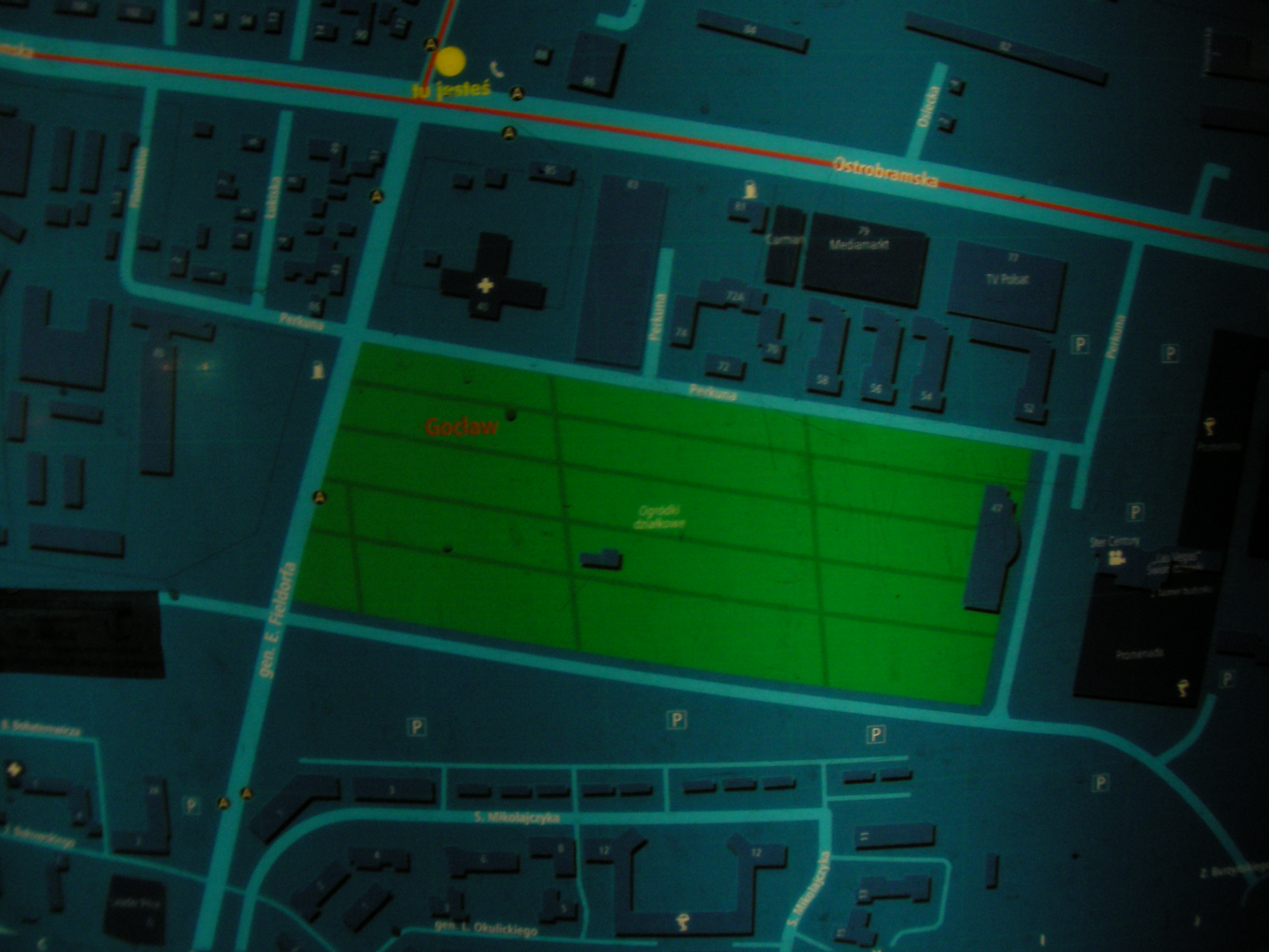
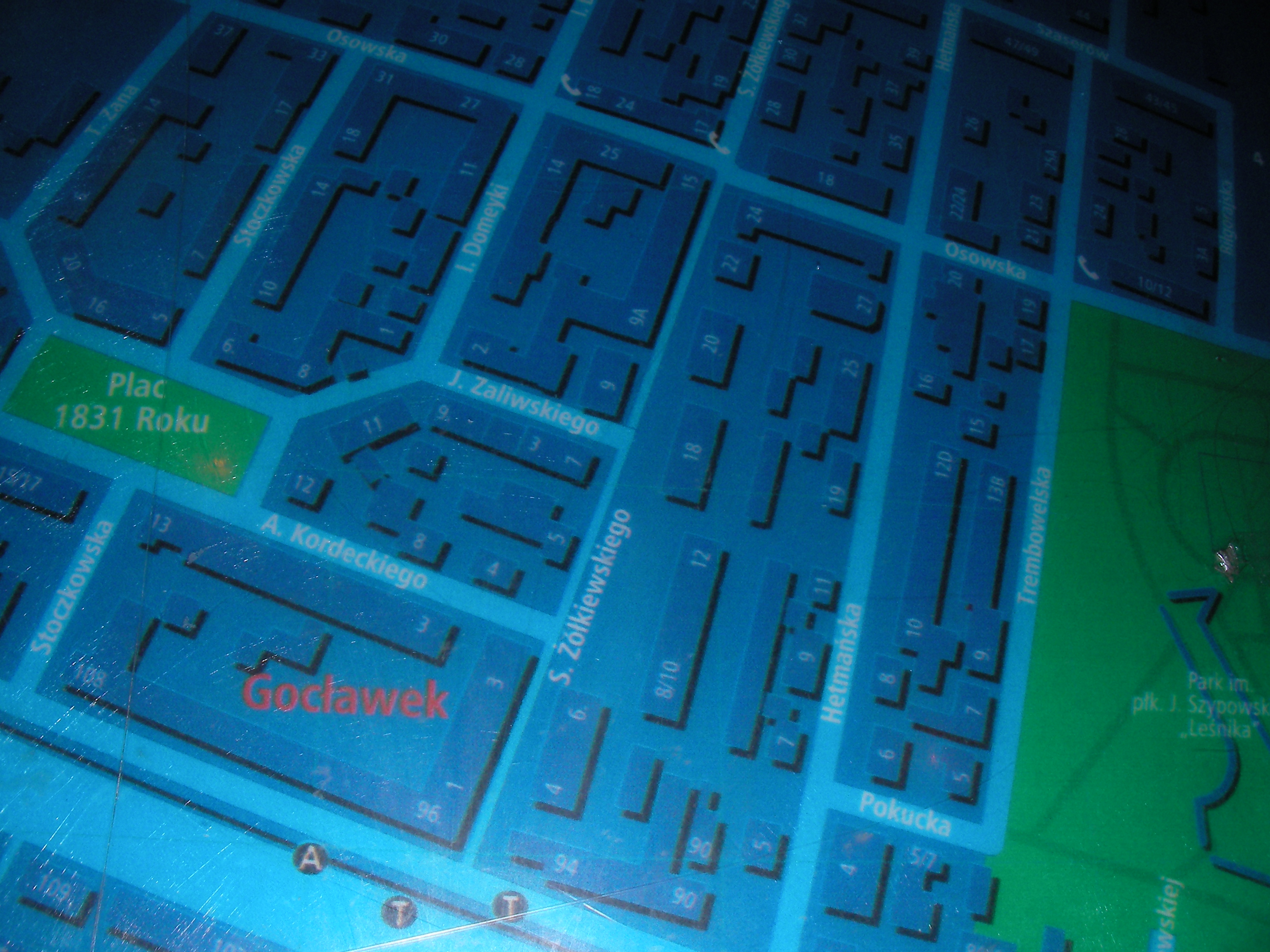
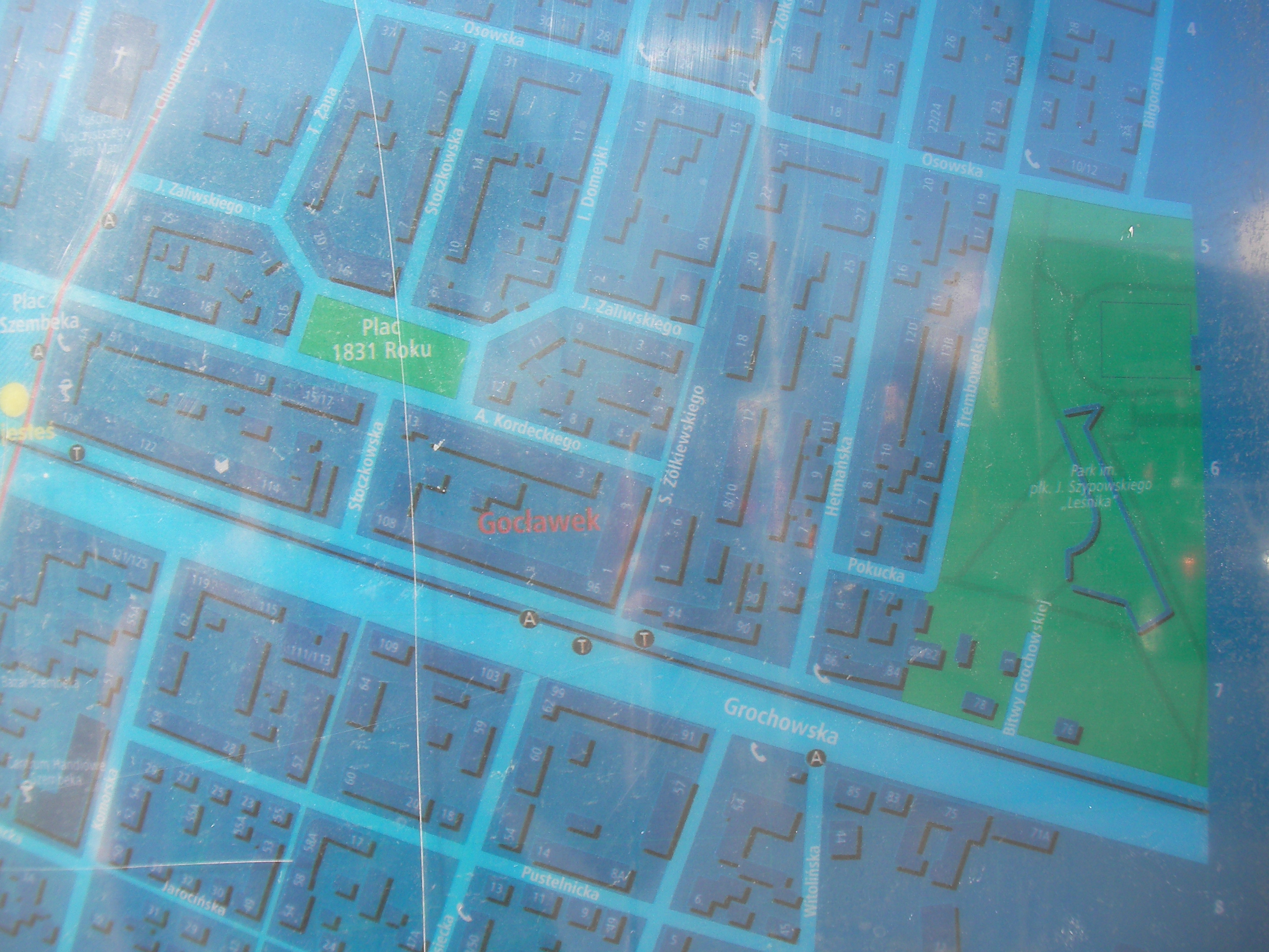
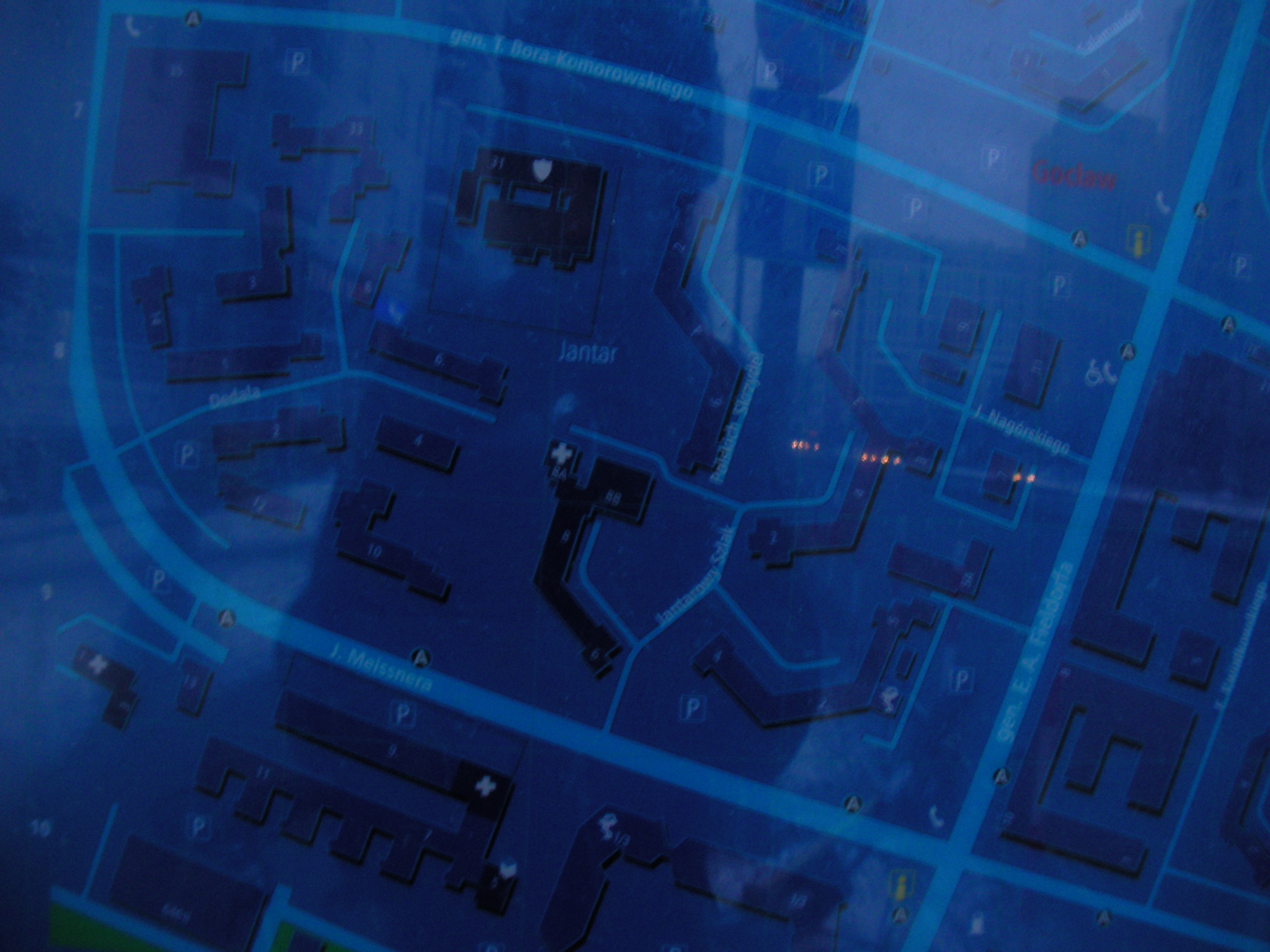
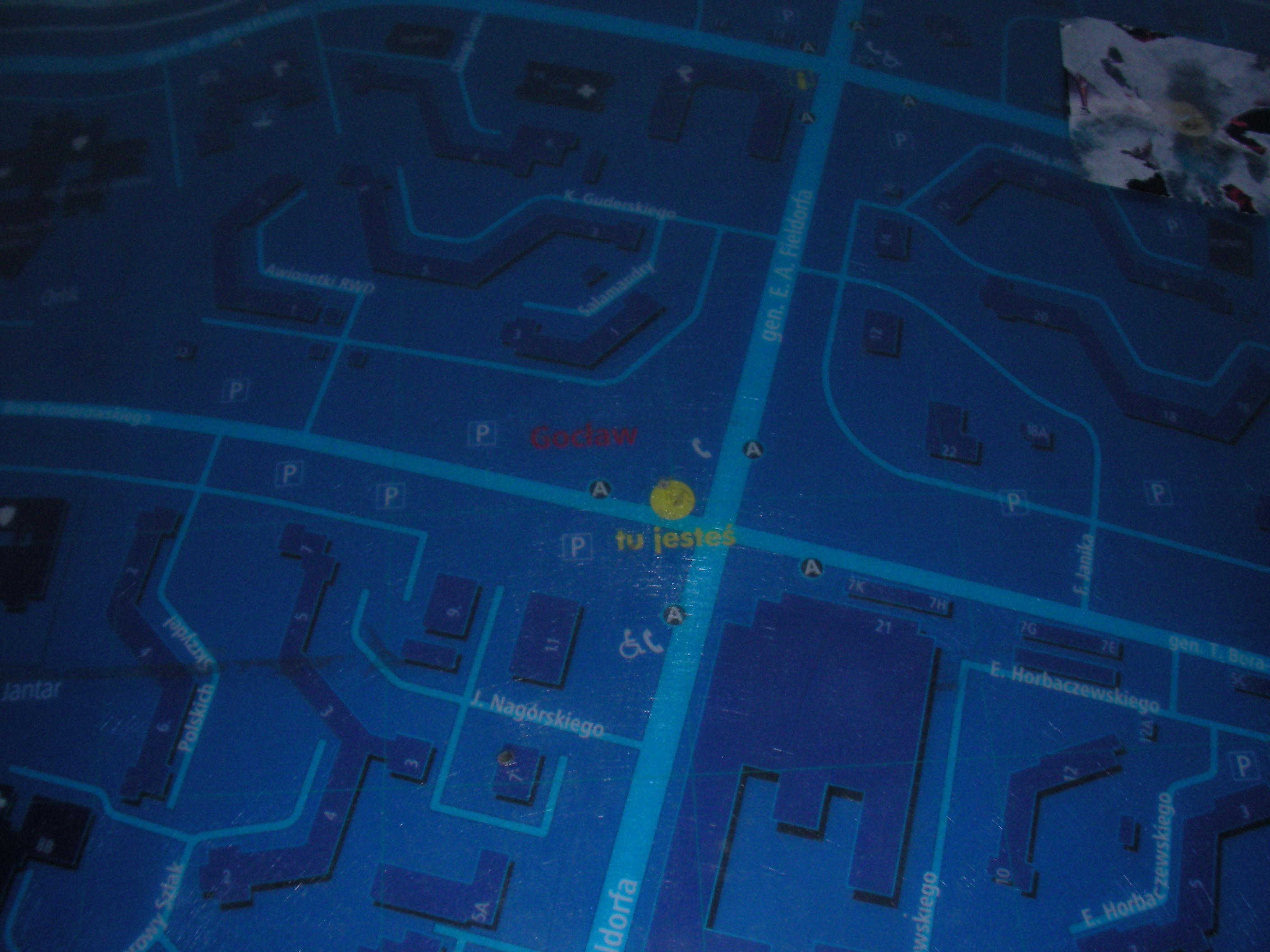
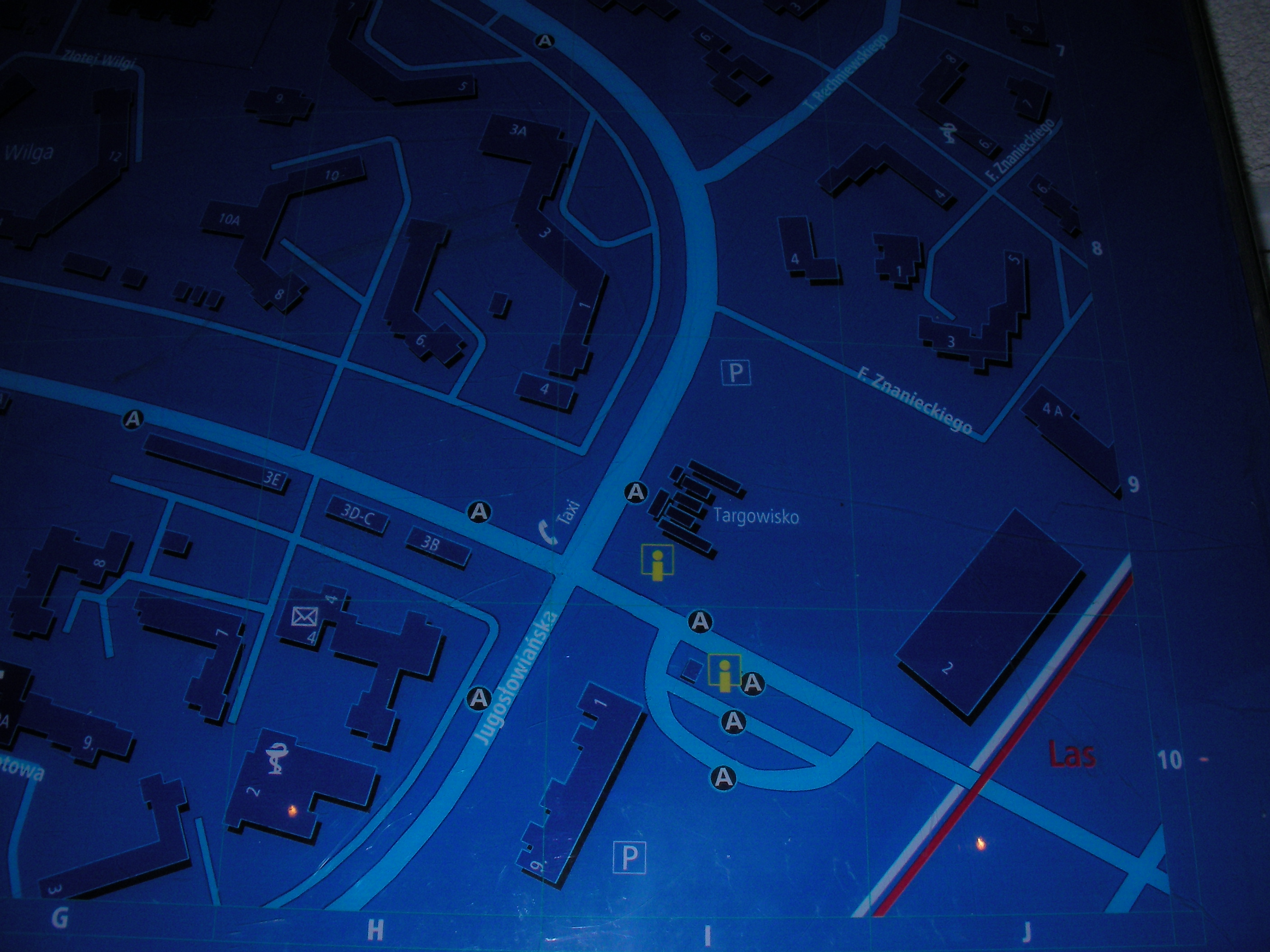
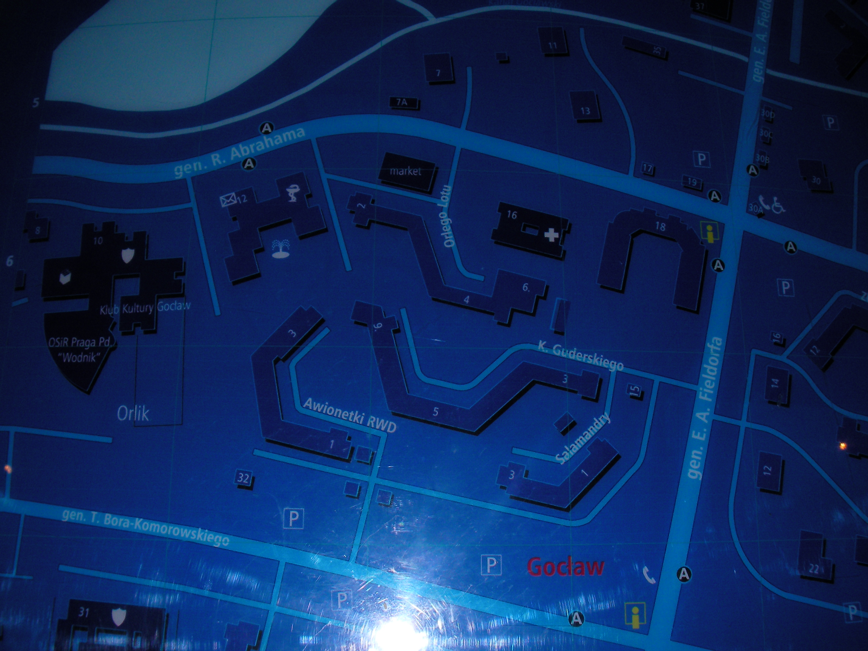
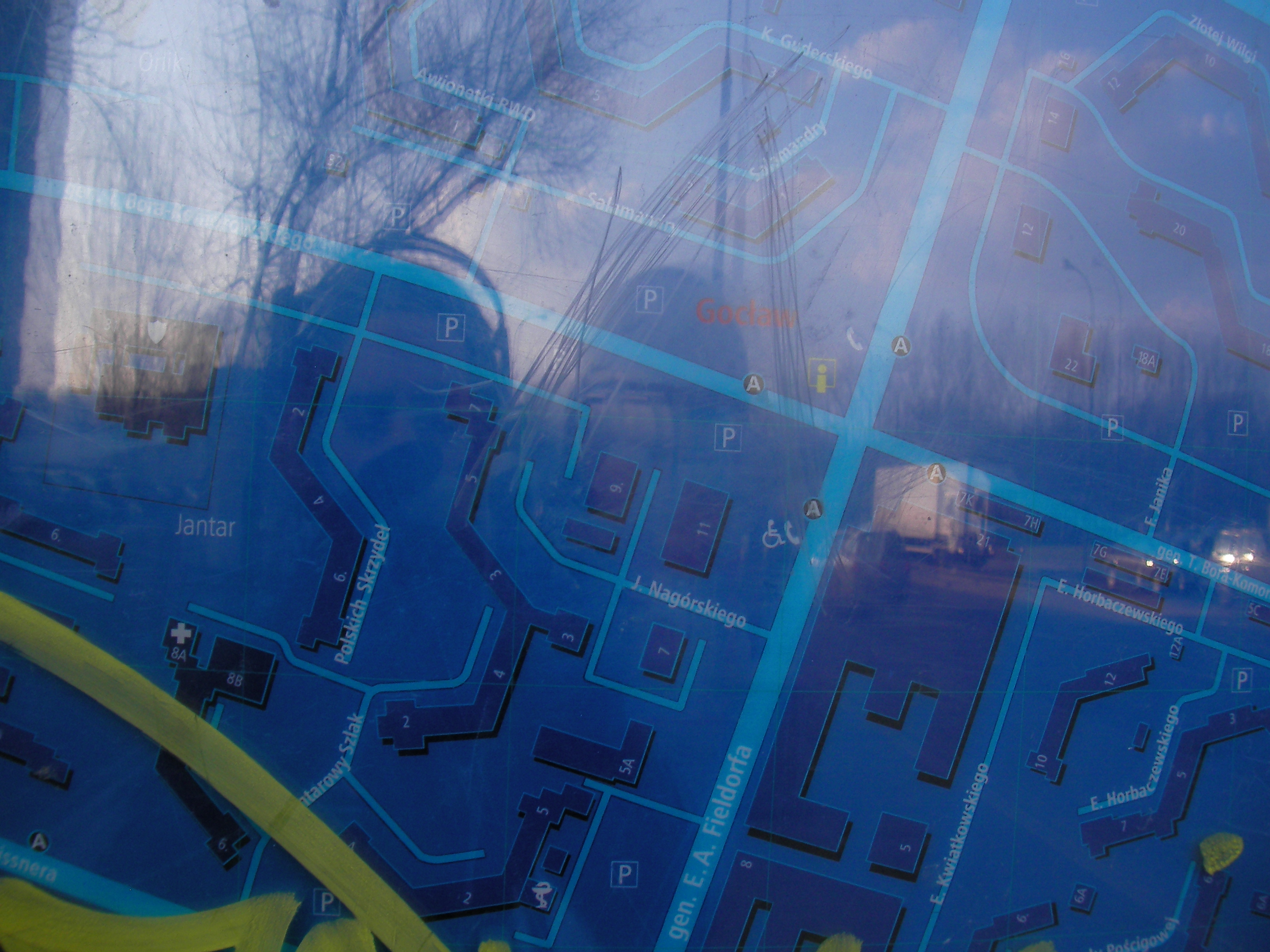
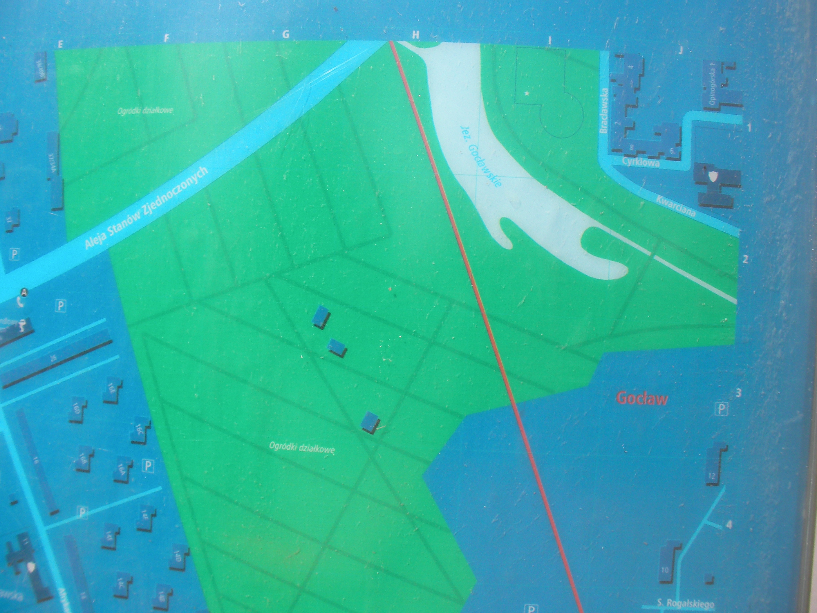
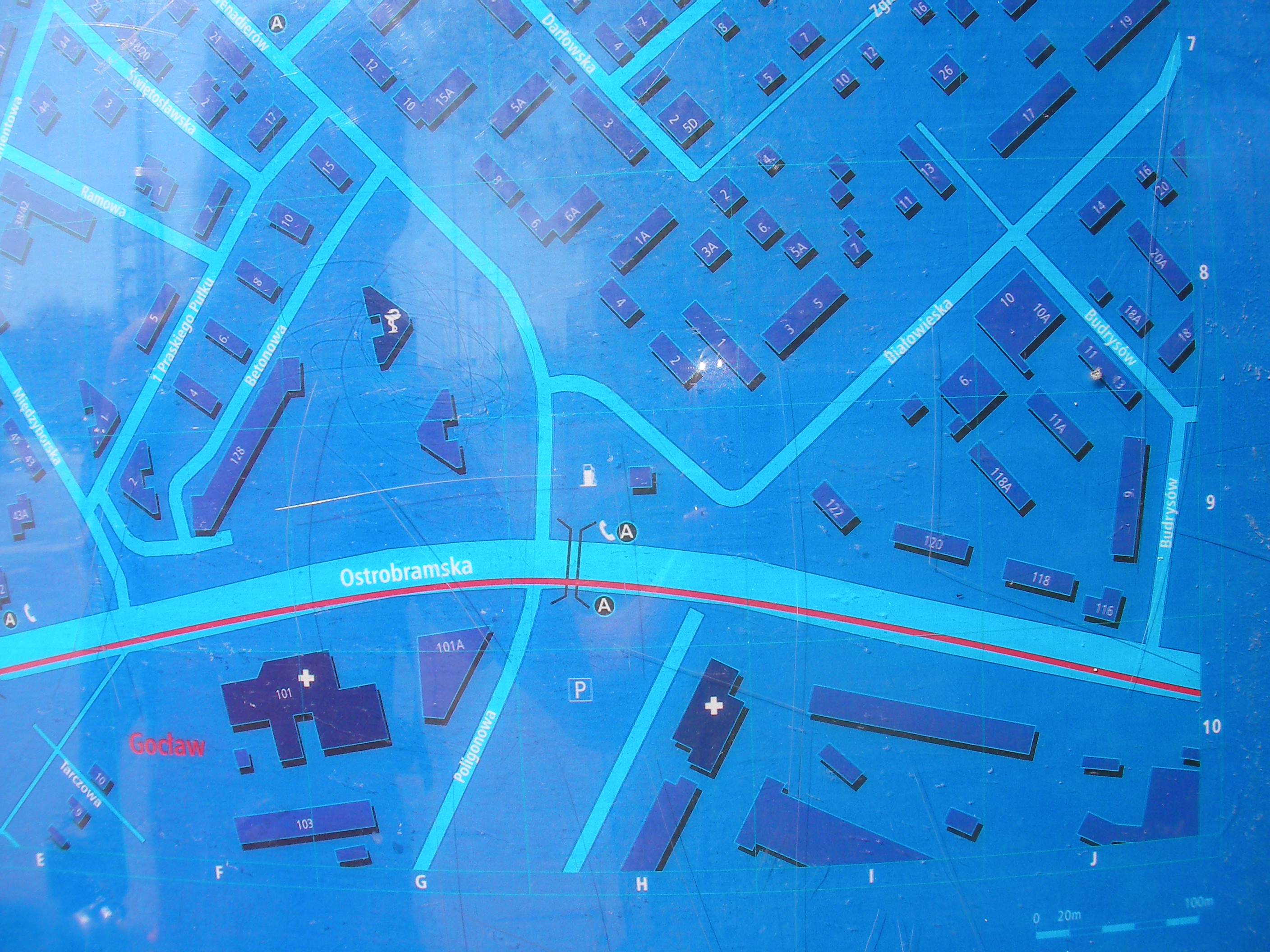
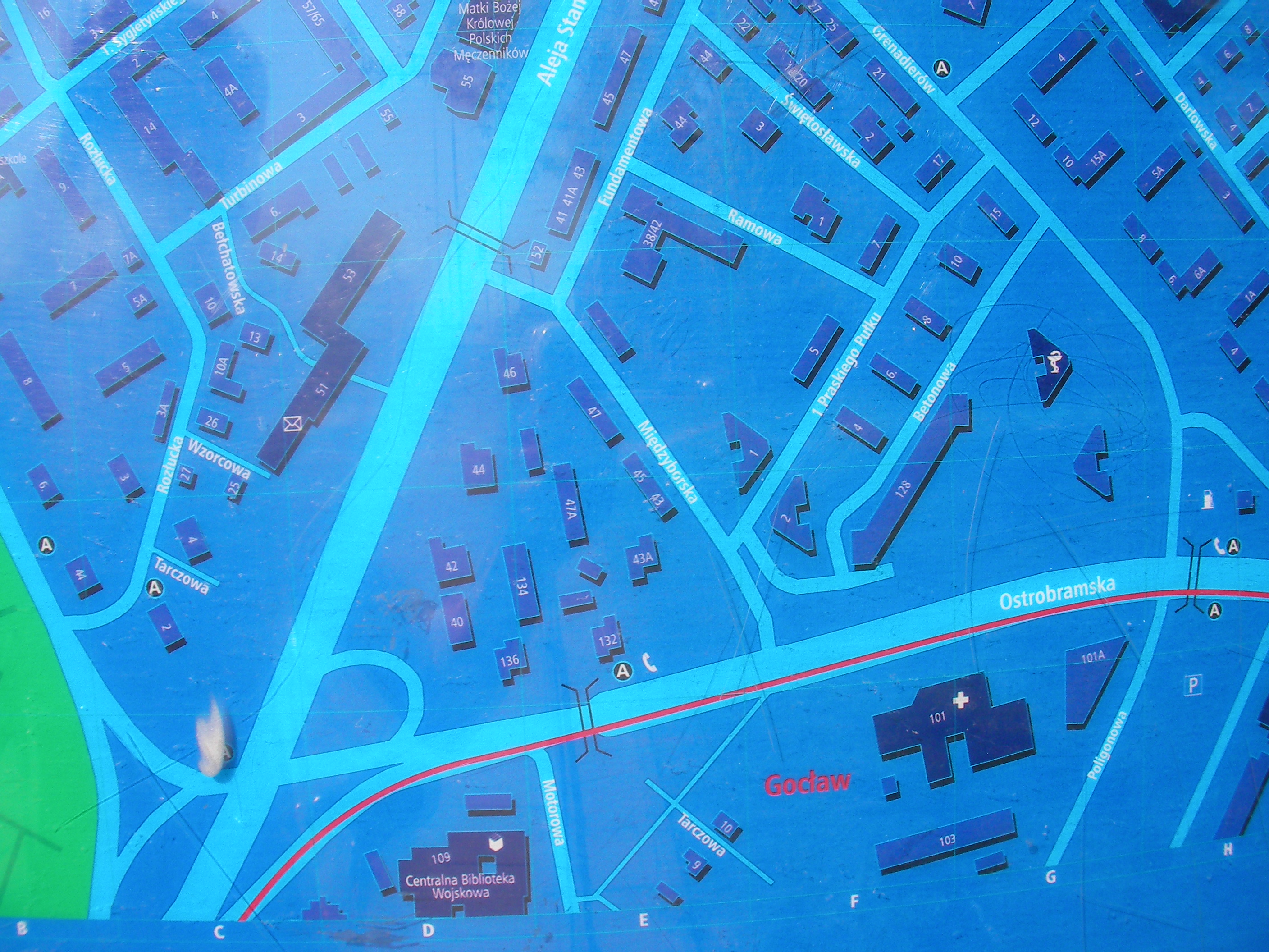
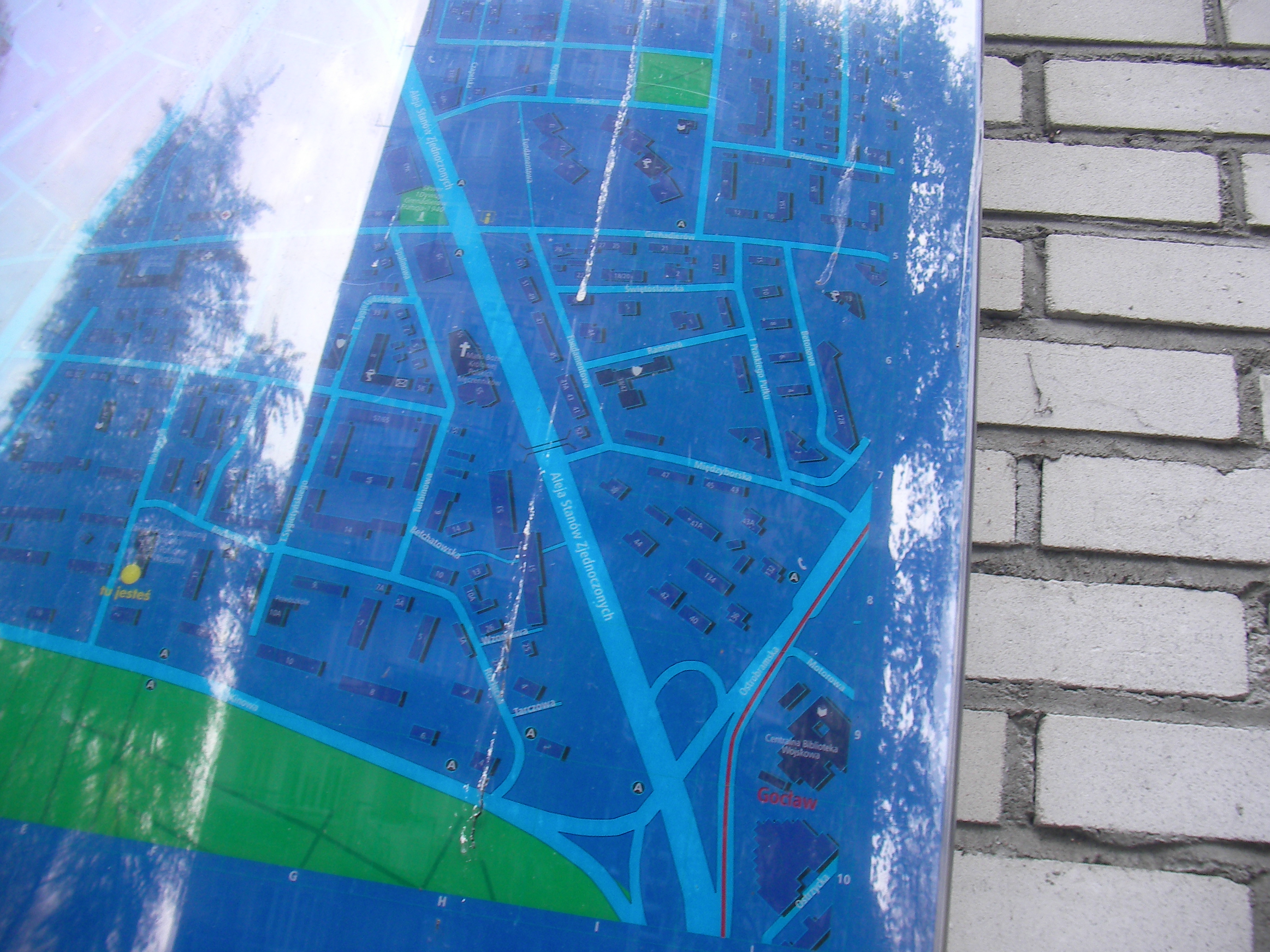
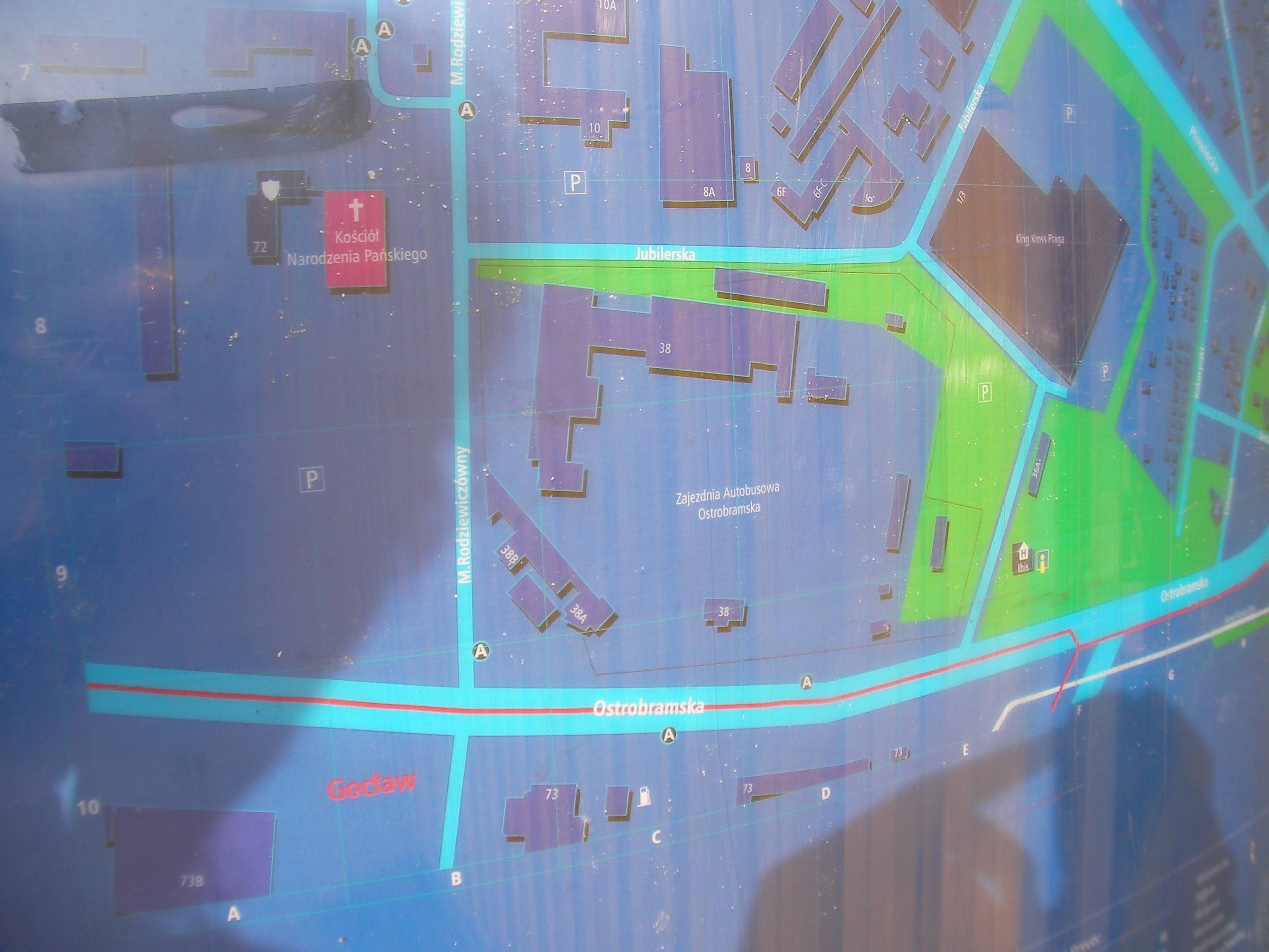
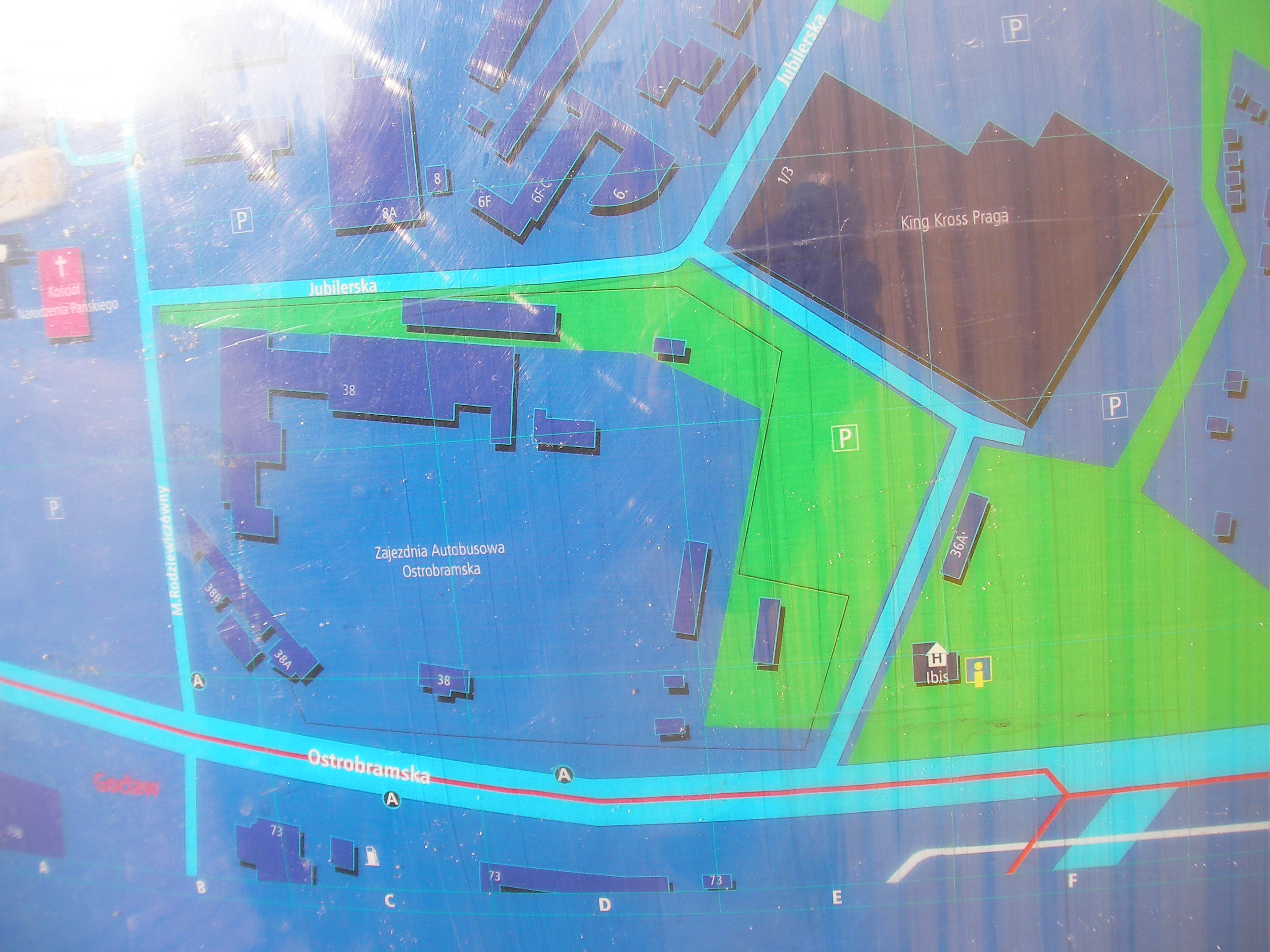
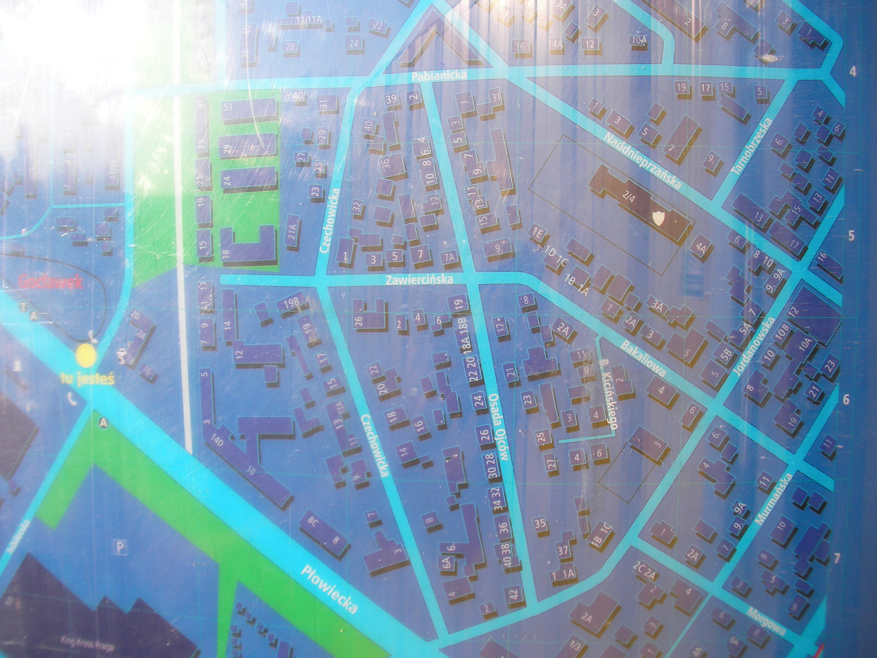
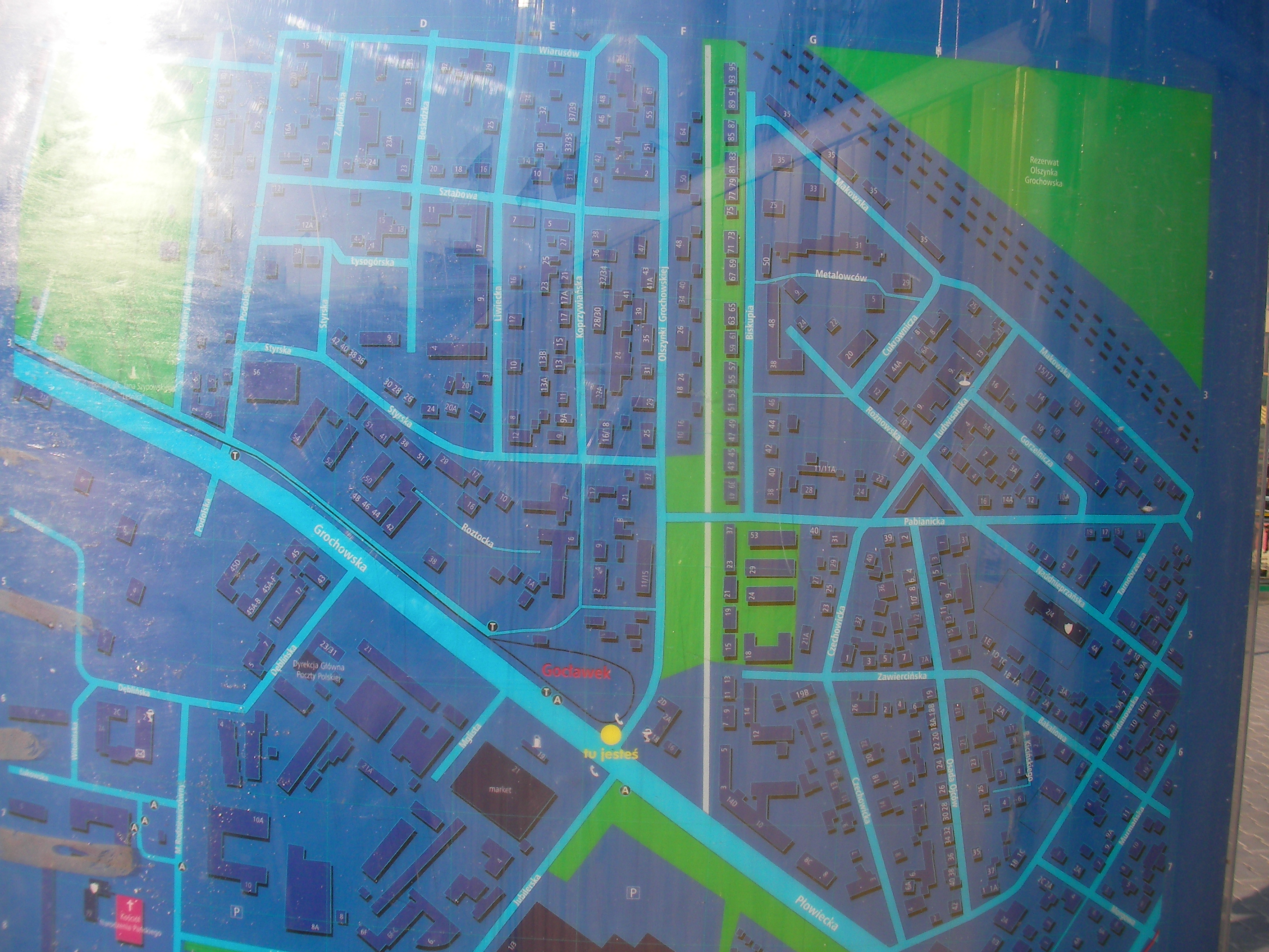
Gocław
At the east end of Bora-Komorowskiego street, "Gocław" bus stop / depot. Approximate location.
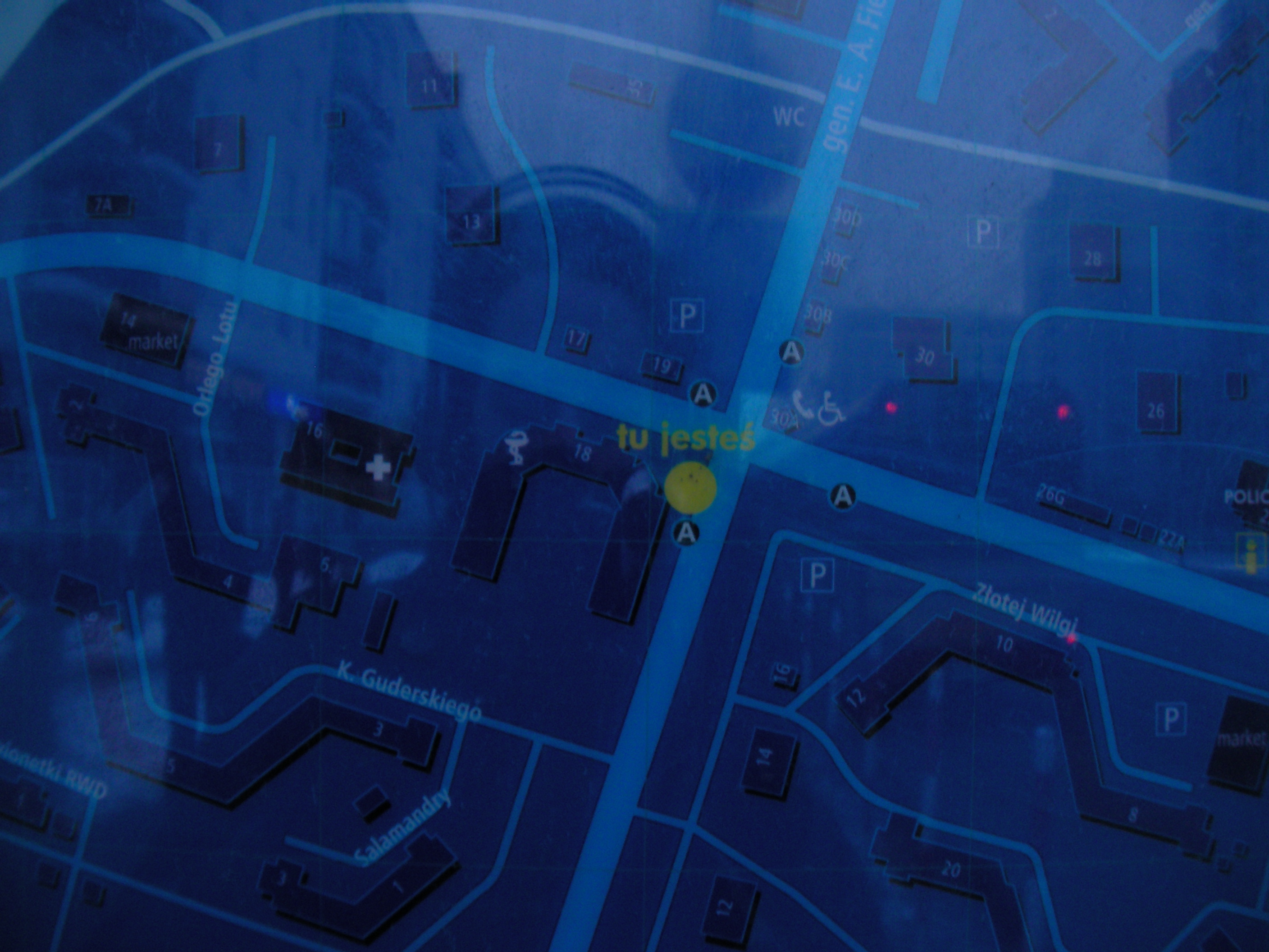
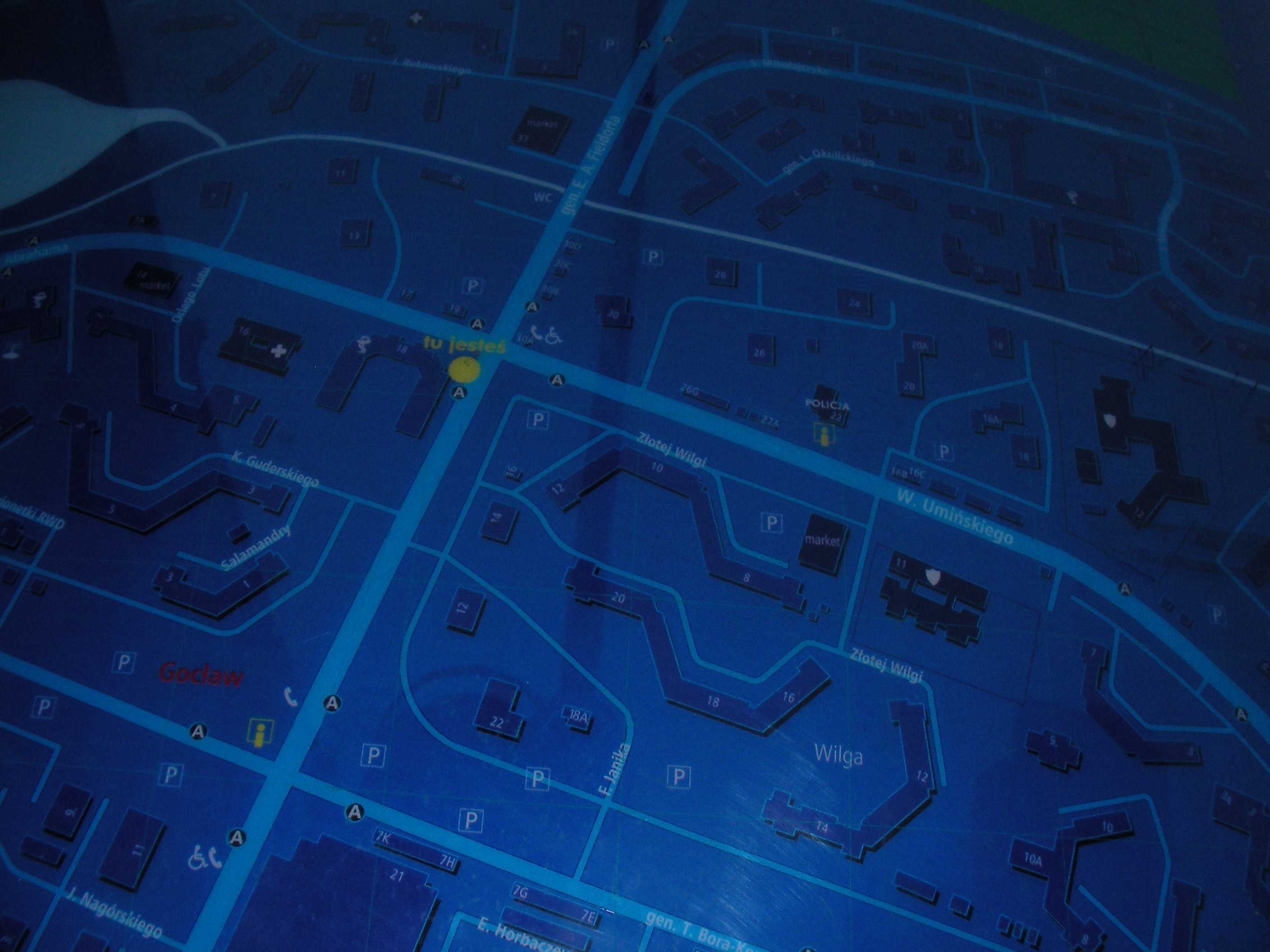
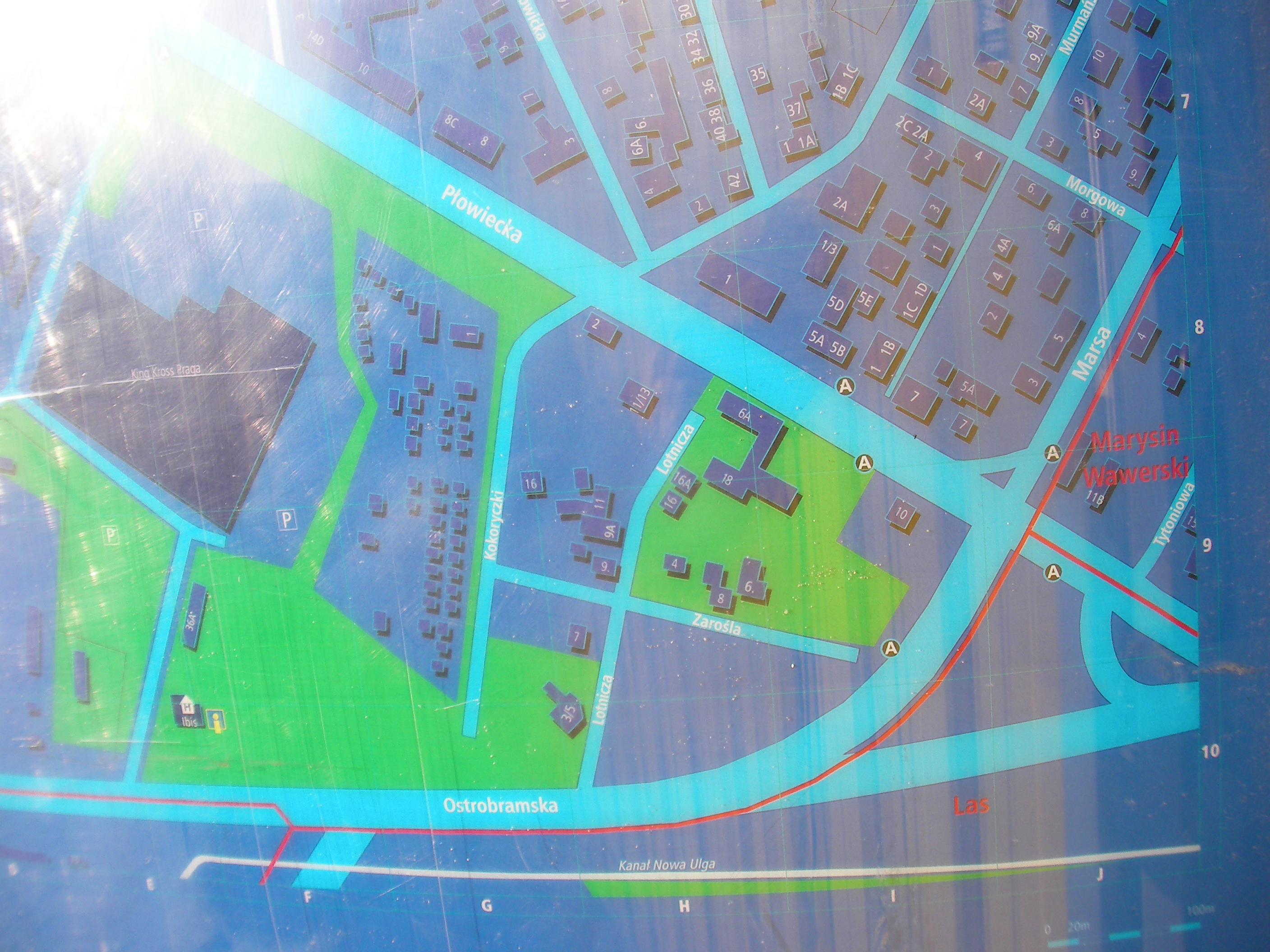
Gocław
At the east end of Bora-Komorowskiego street, crossing with Umińskiego. Approximate location.
- Bottom-right, Bottom-left, Right, Middle, Left, Top-right, Top, Top-left.
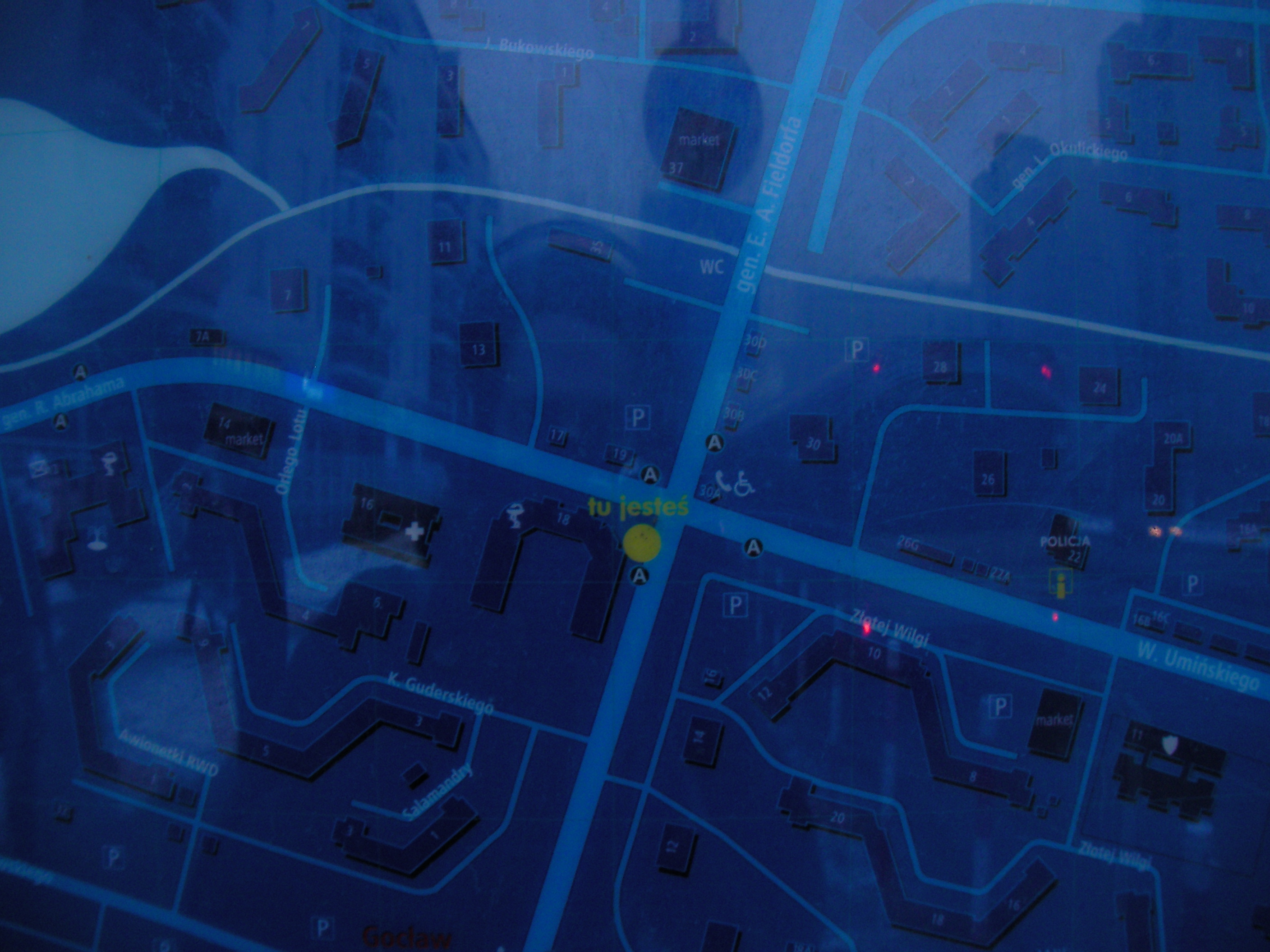
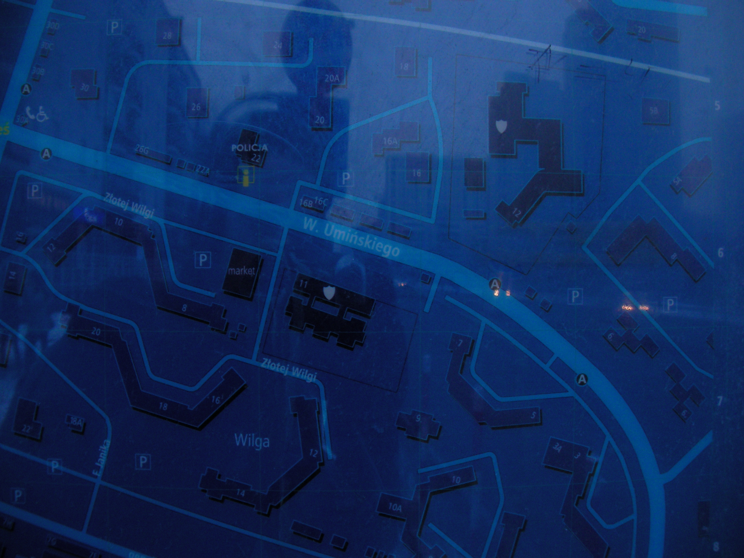
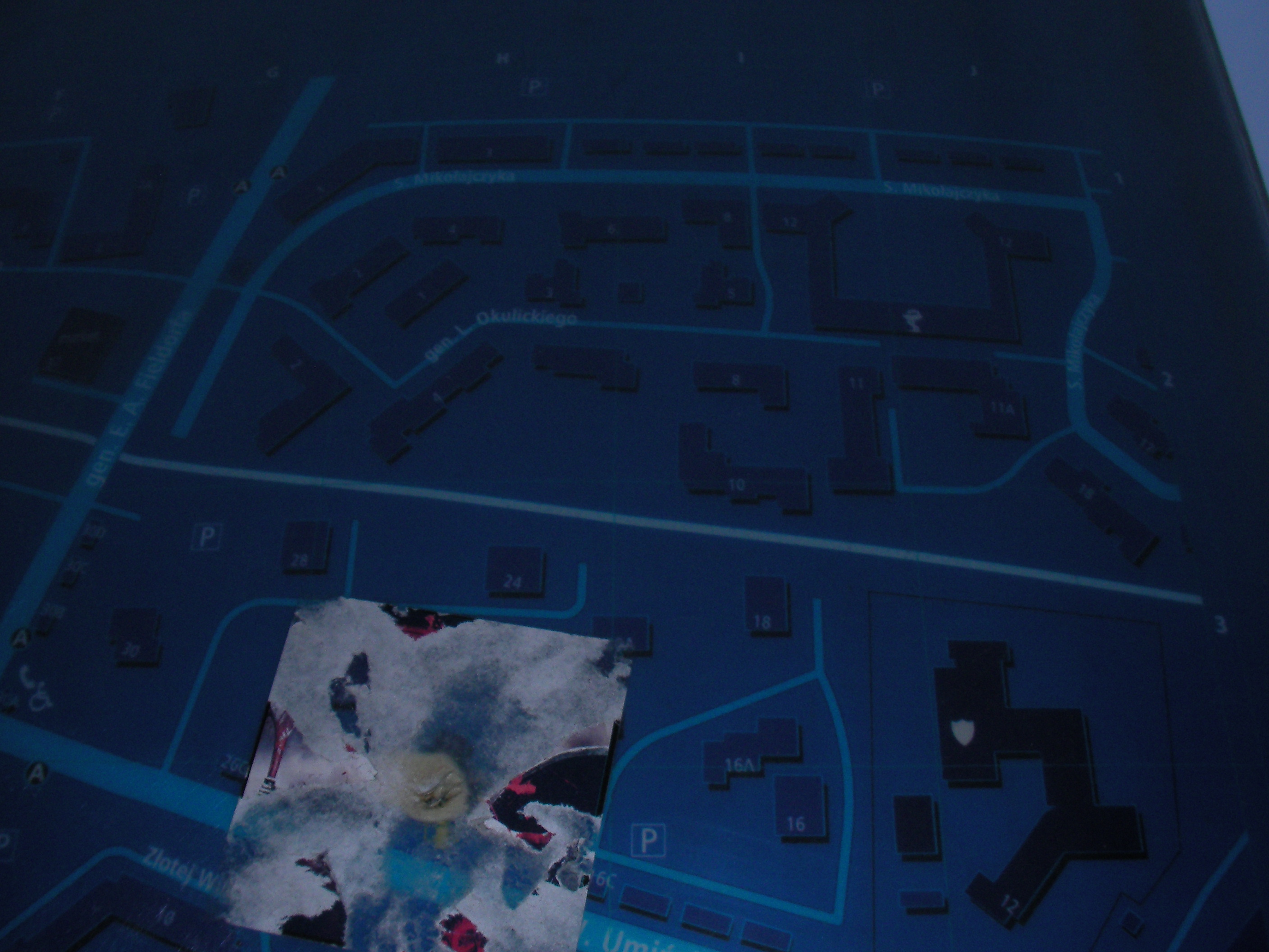
Umińskiego
On the wall of the police stationhouse at 22, Umińskiego street. Approximate location.
- Bottom-right, Bottom, Bottom-left, Right, Middle, Left, Bottom-left, Top-left, Top, Top-right, Bottom.
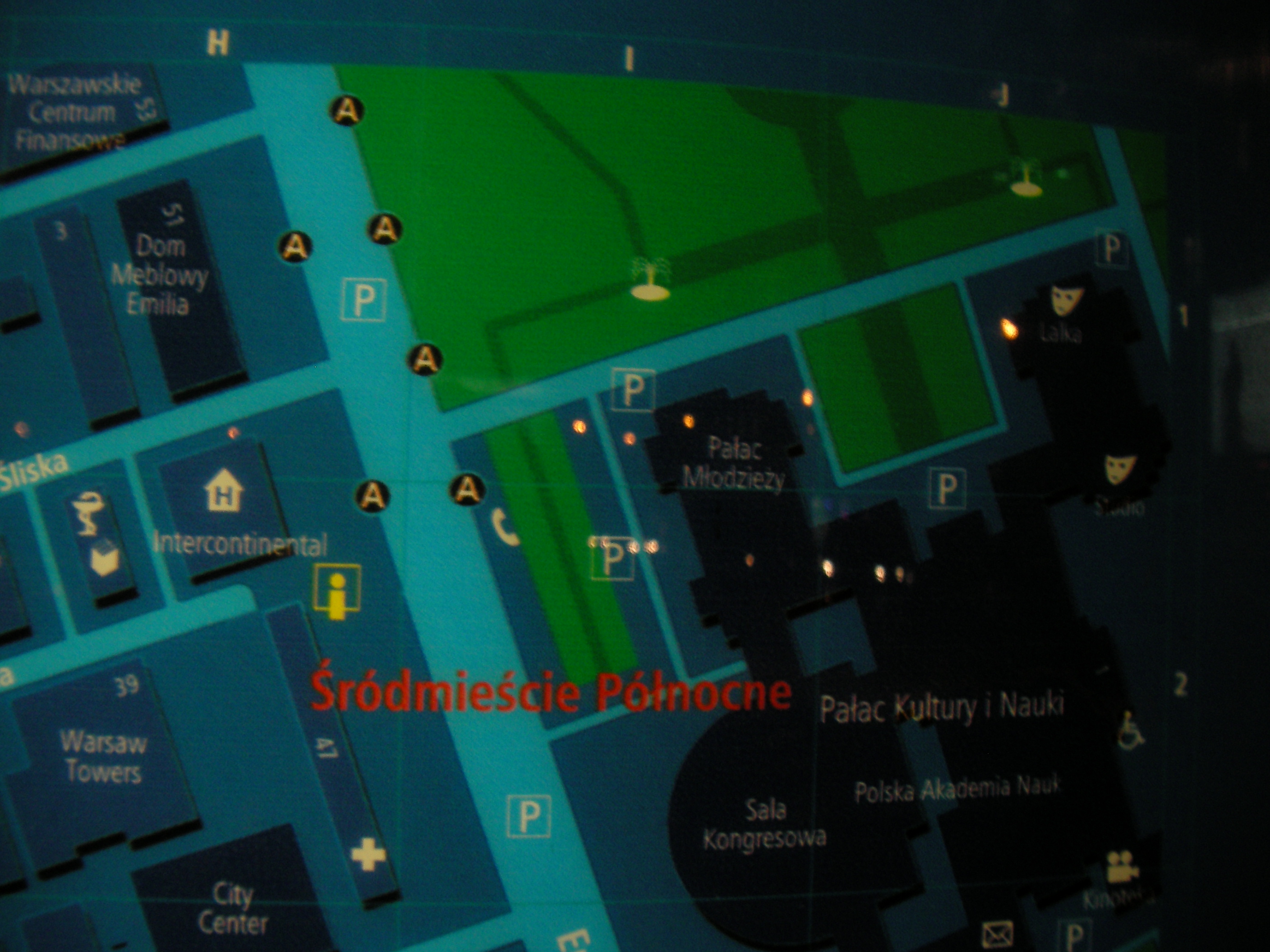
Metro Centrum
South of Roman Dmowski roundabout, by the stairs to the underground passage. Approximate location.
- Bottom-left, Bottom, Bottom-right, Right, Middle, Left, Top-left, Top, Top-right, Top-right.
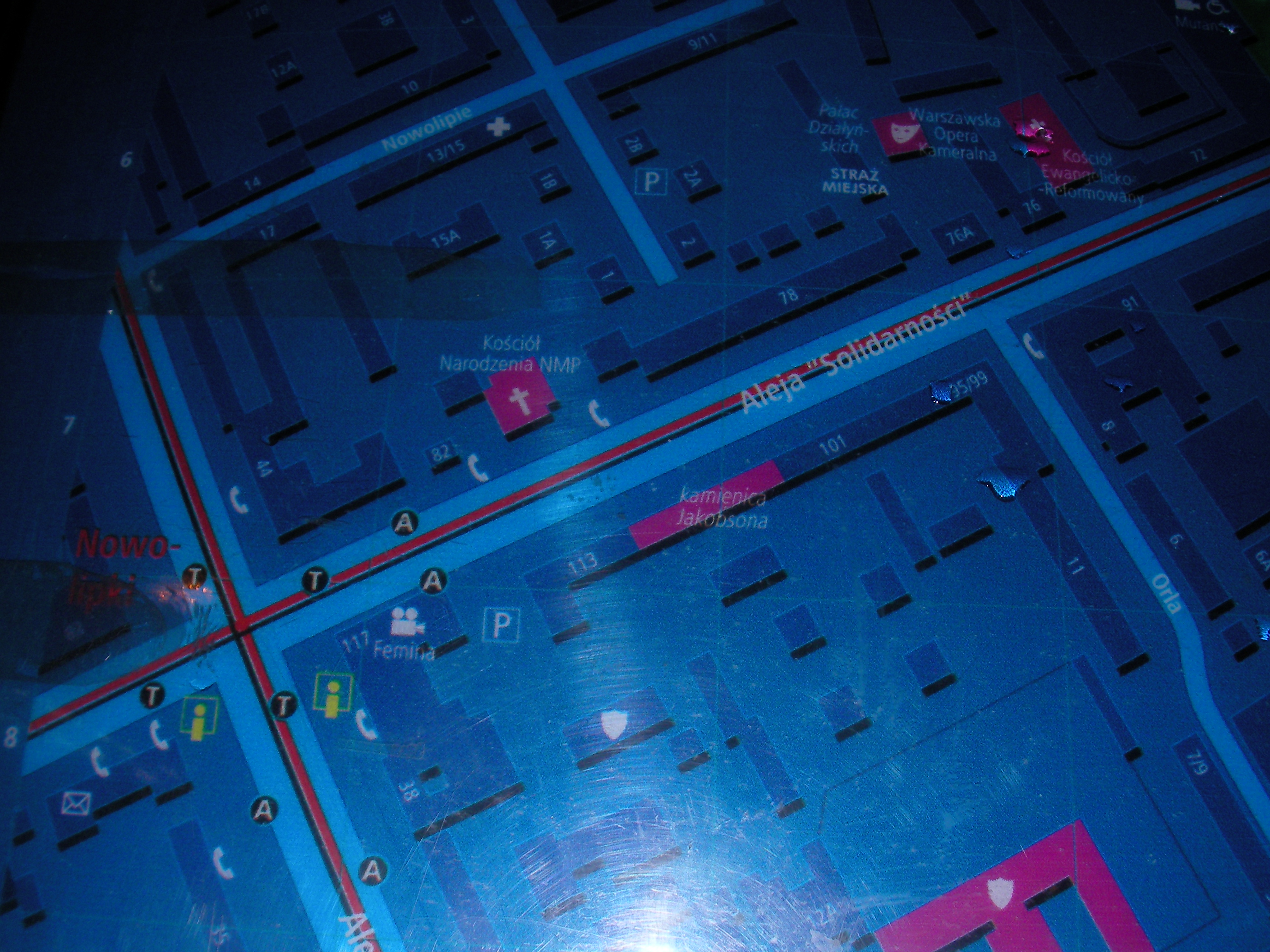
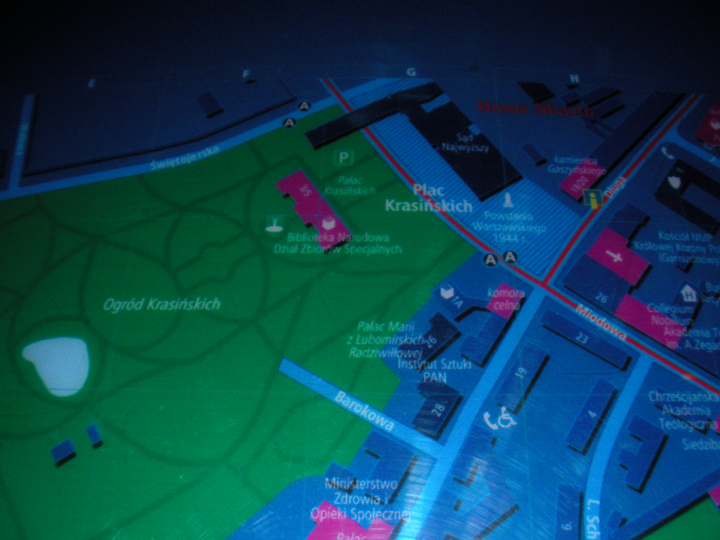
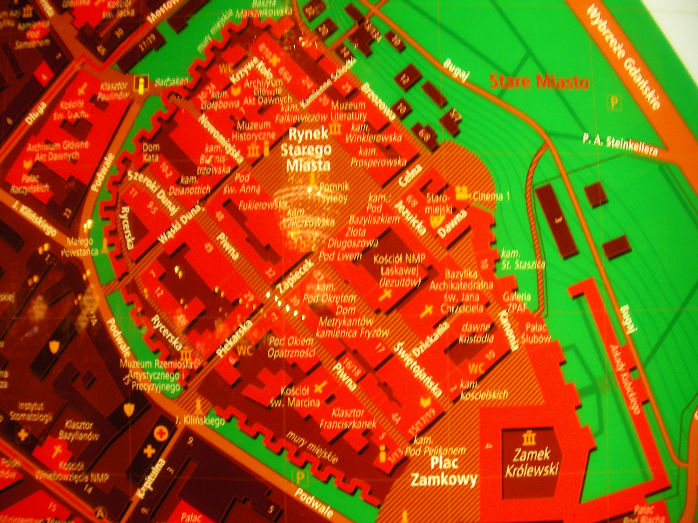
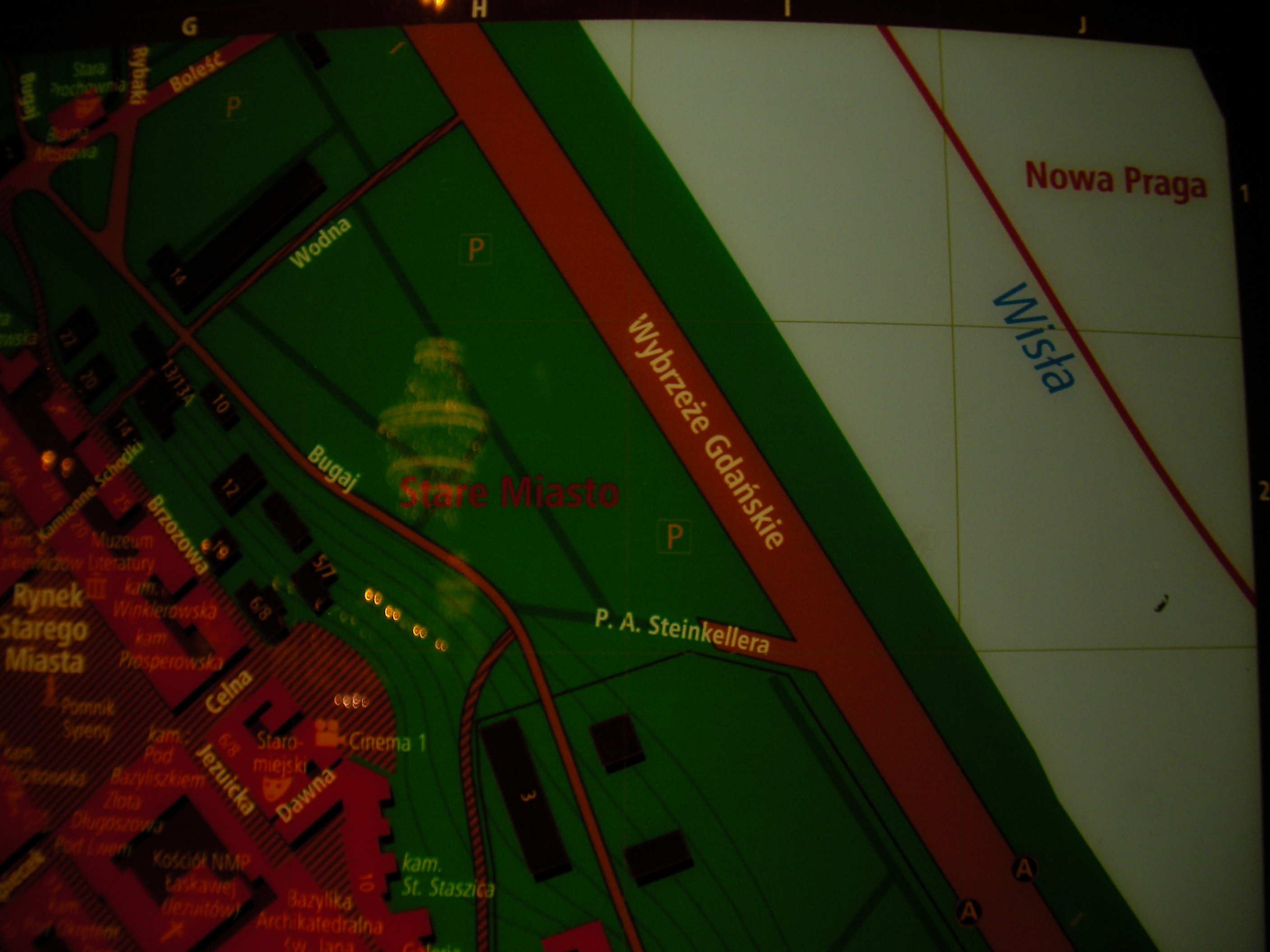
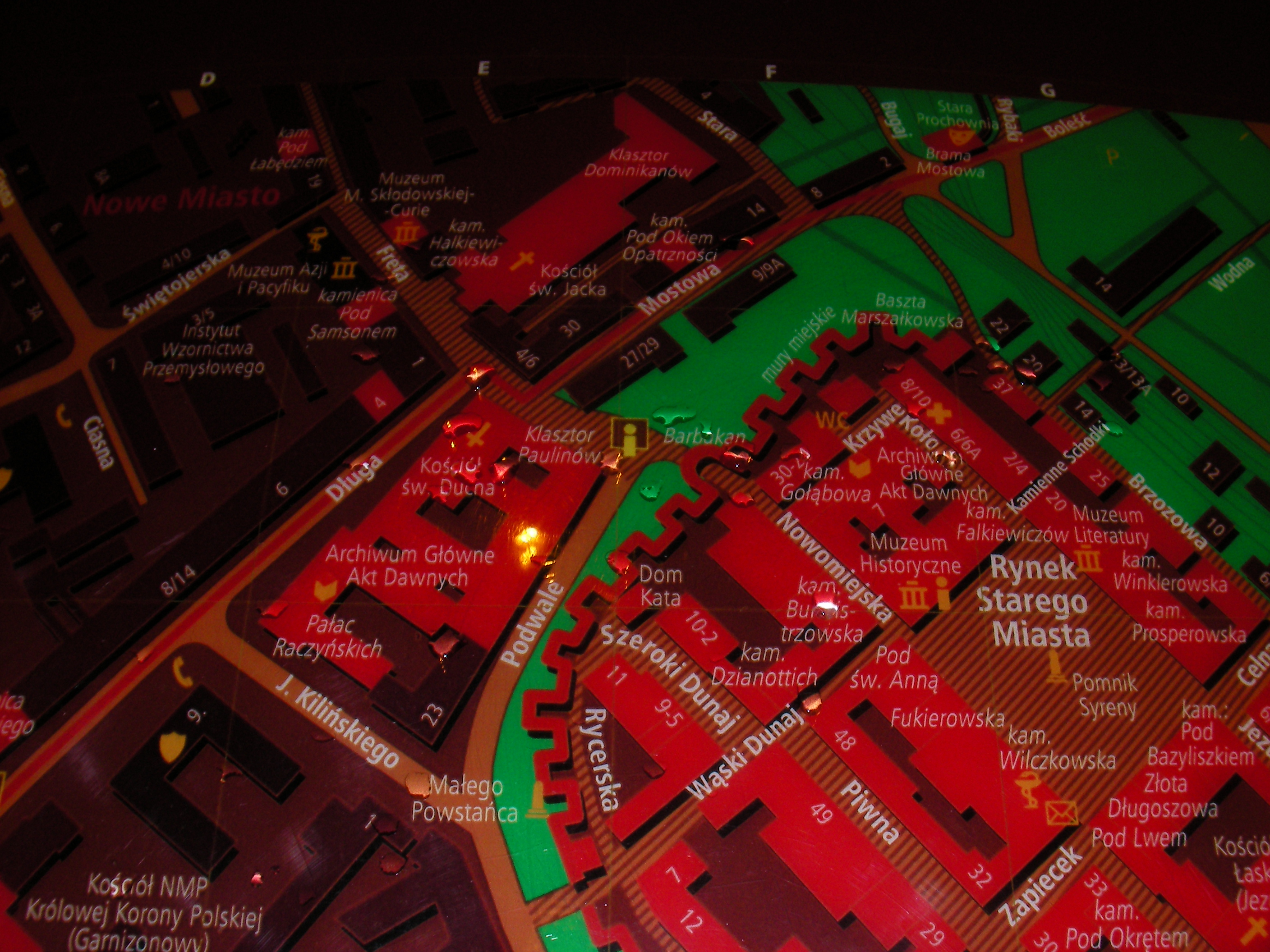
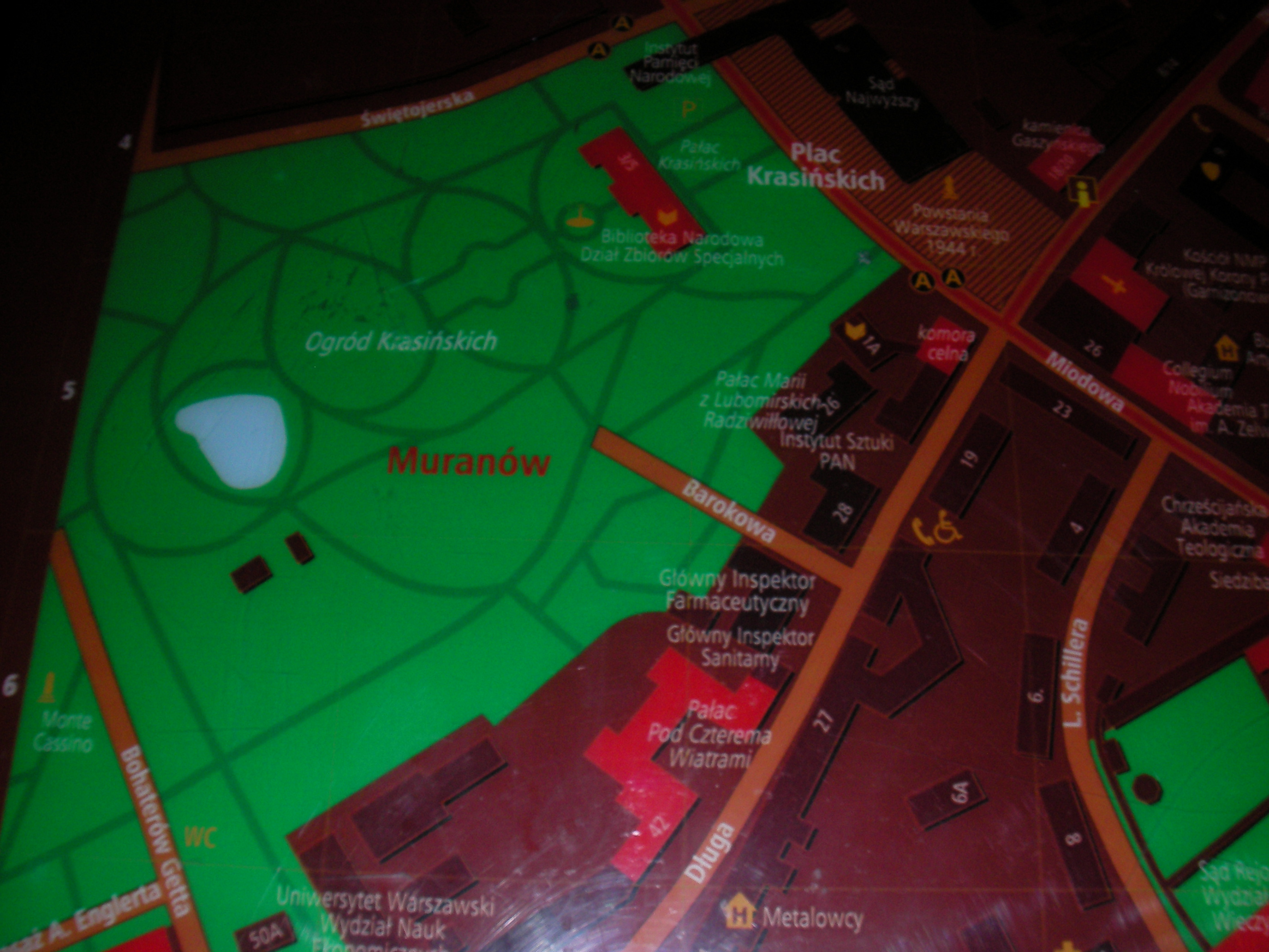
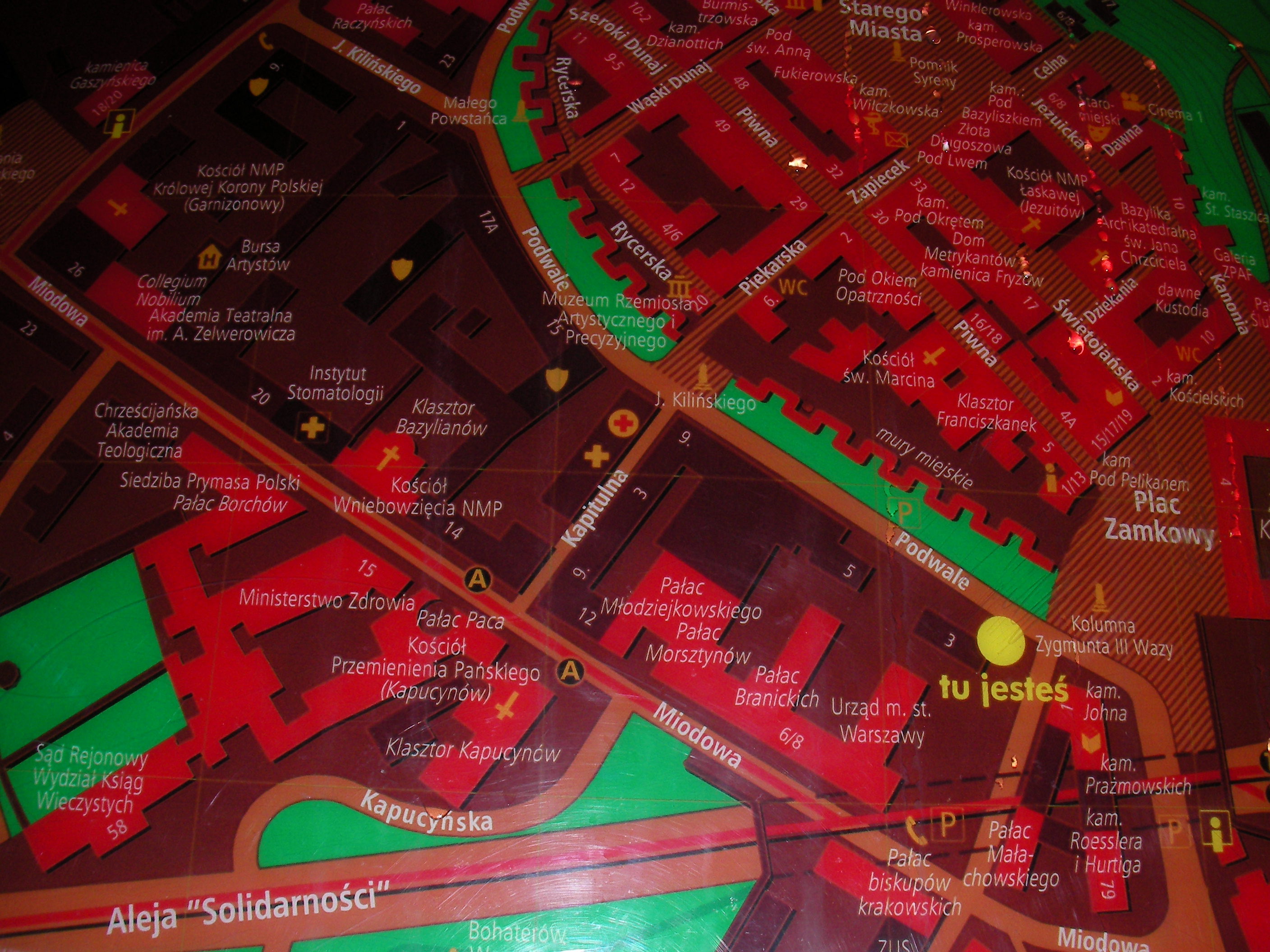
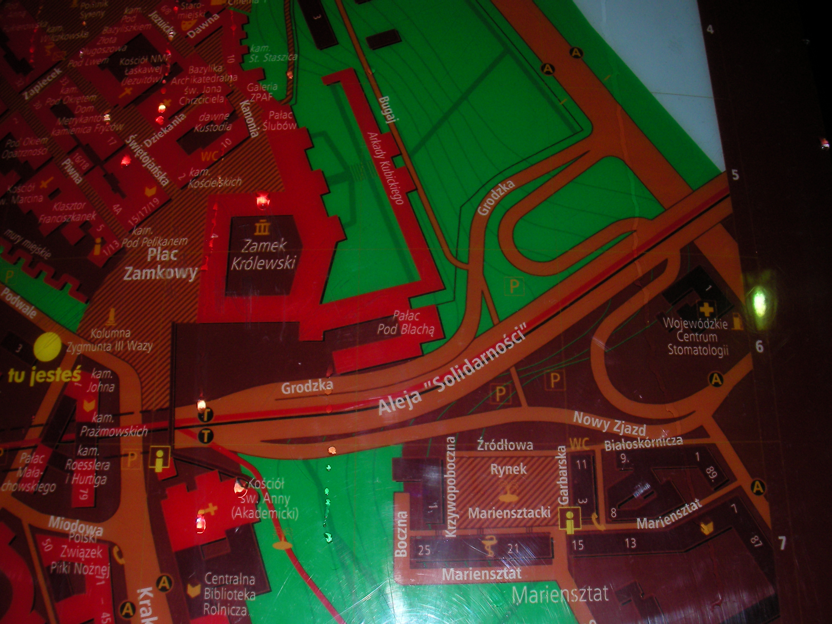
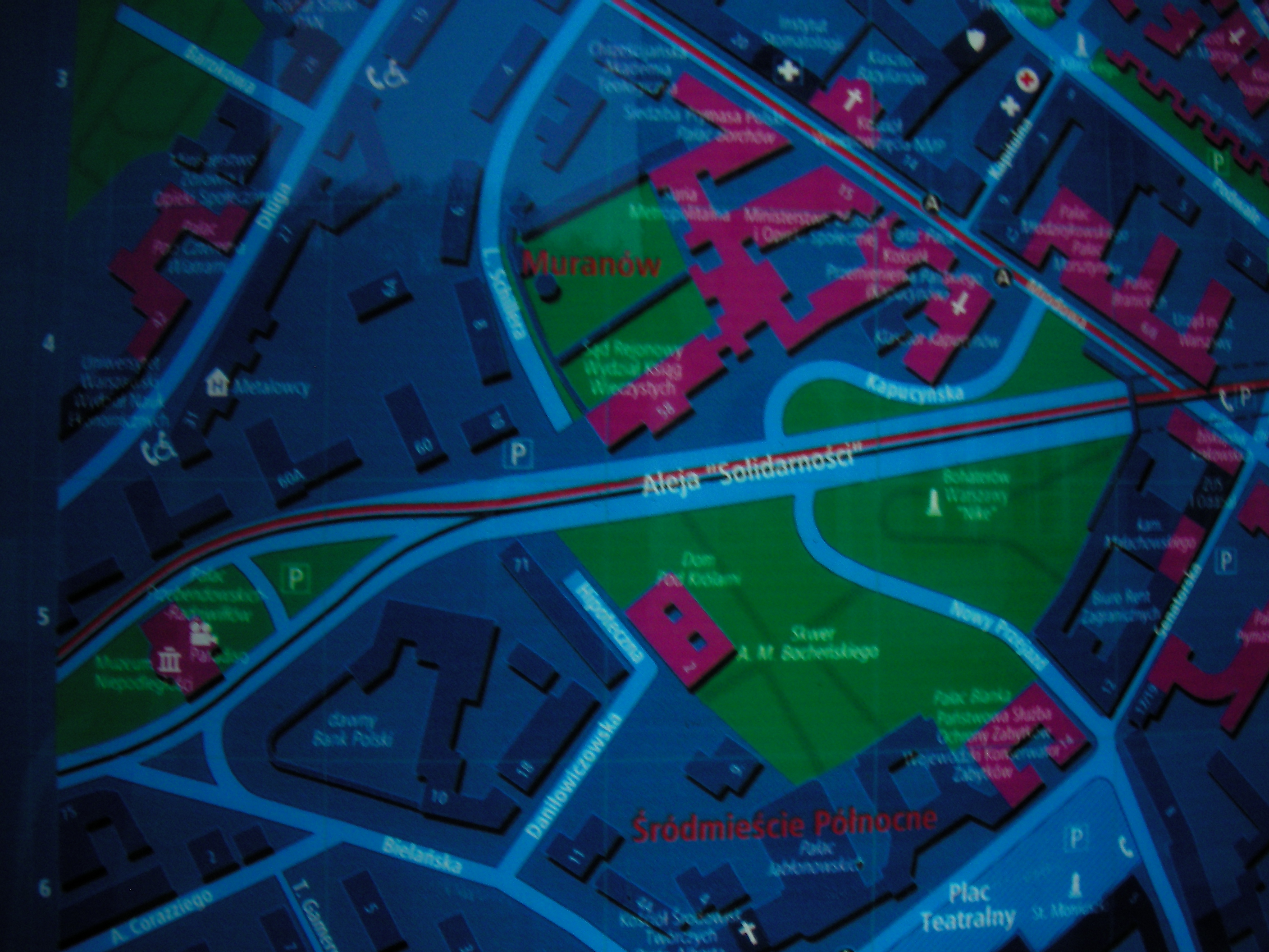
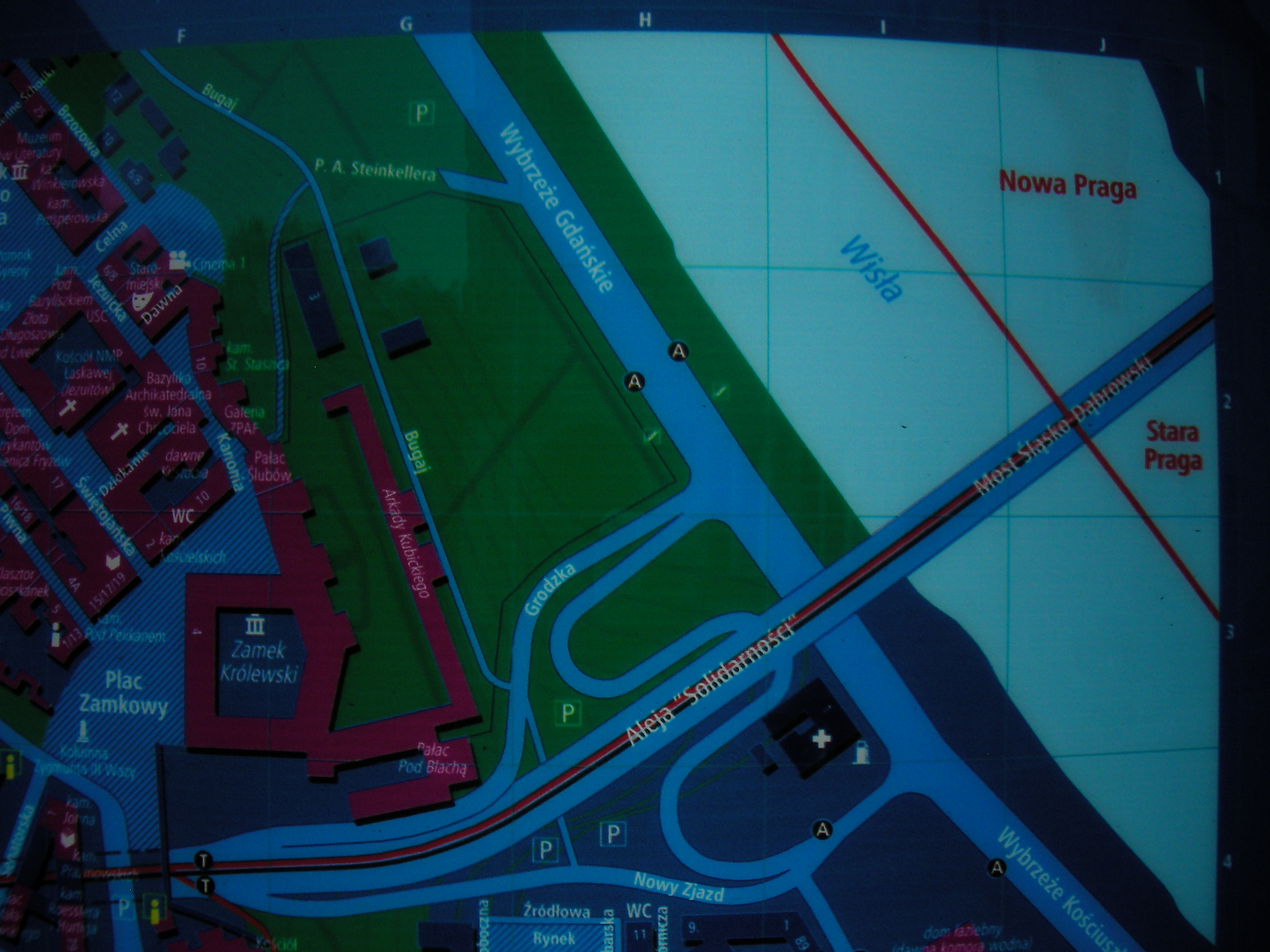
The Old Town (Miodowa)
Near to where Miodowa meets Krakowskie Przedmieście, south entrance to Plac Zamkowy. Approximate location.
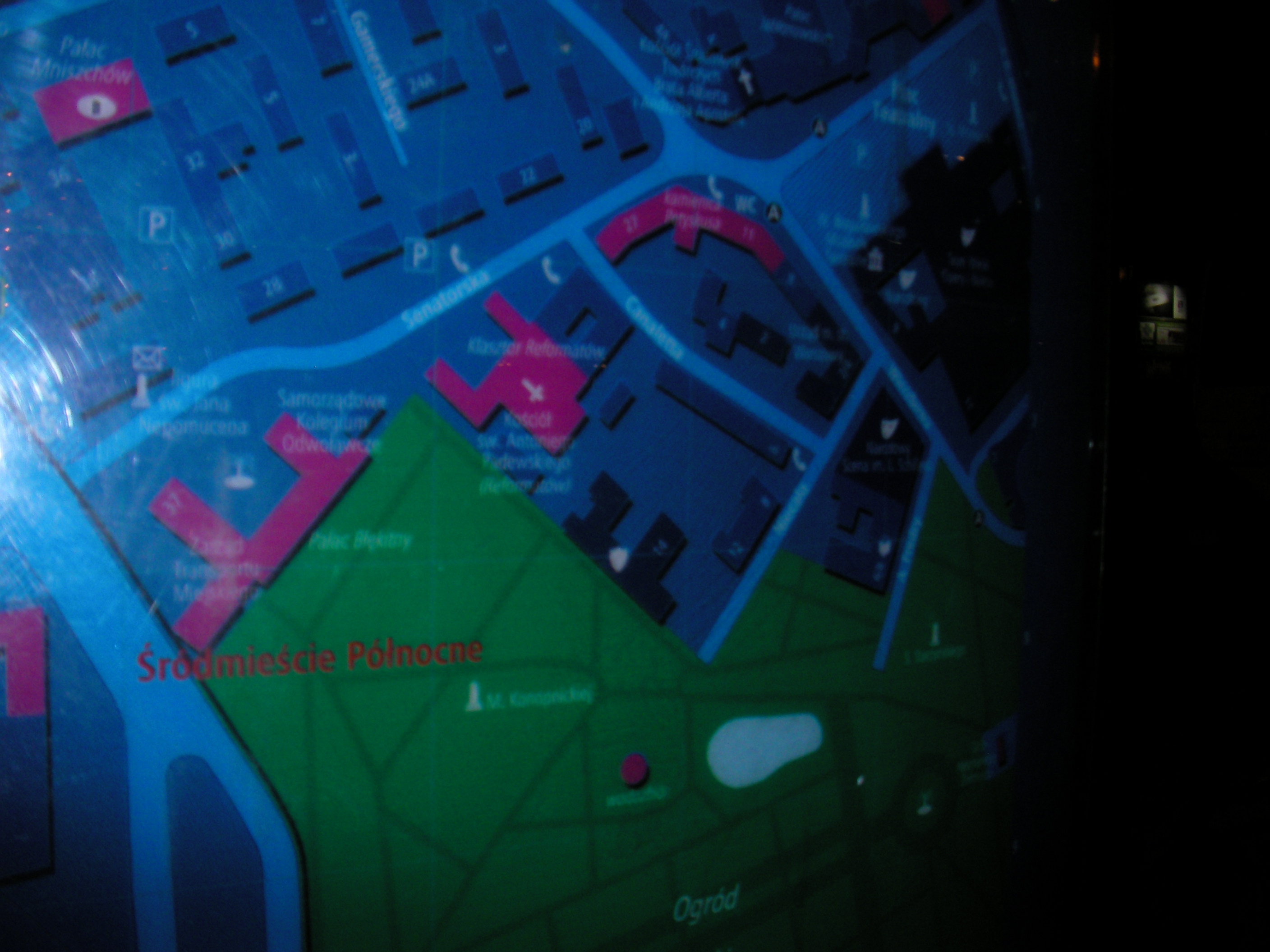
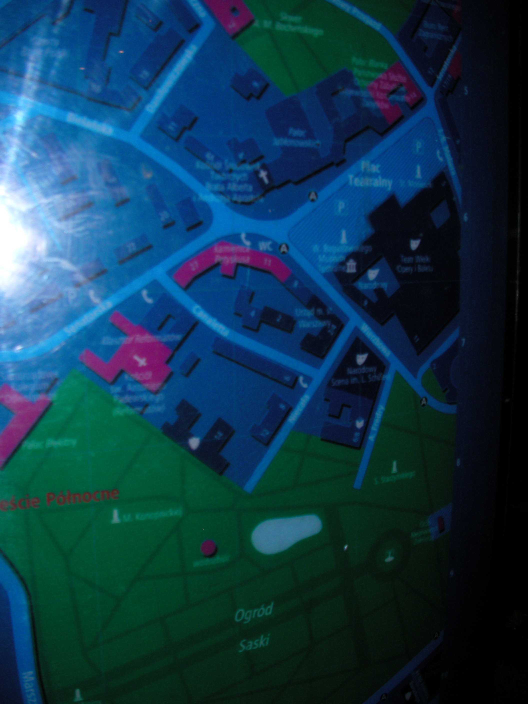
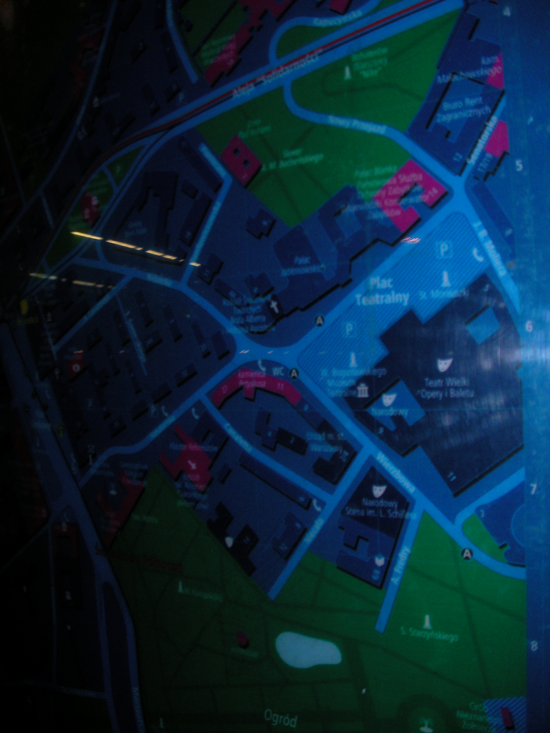
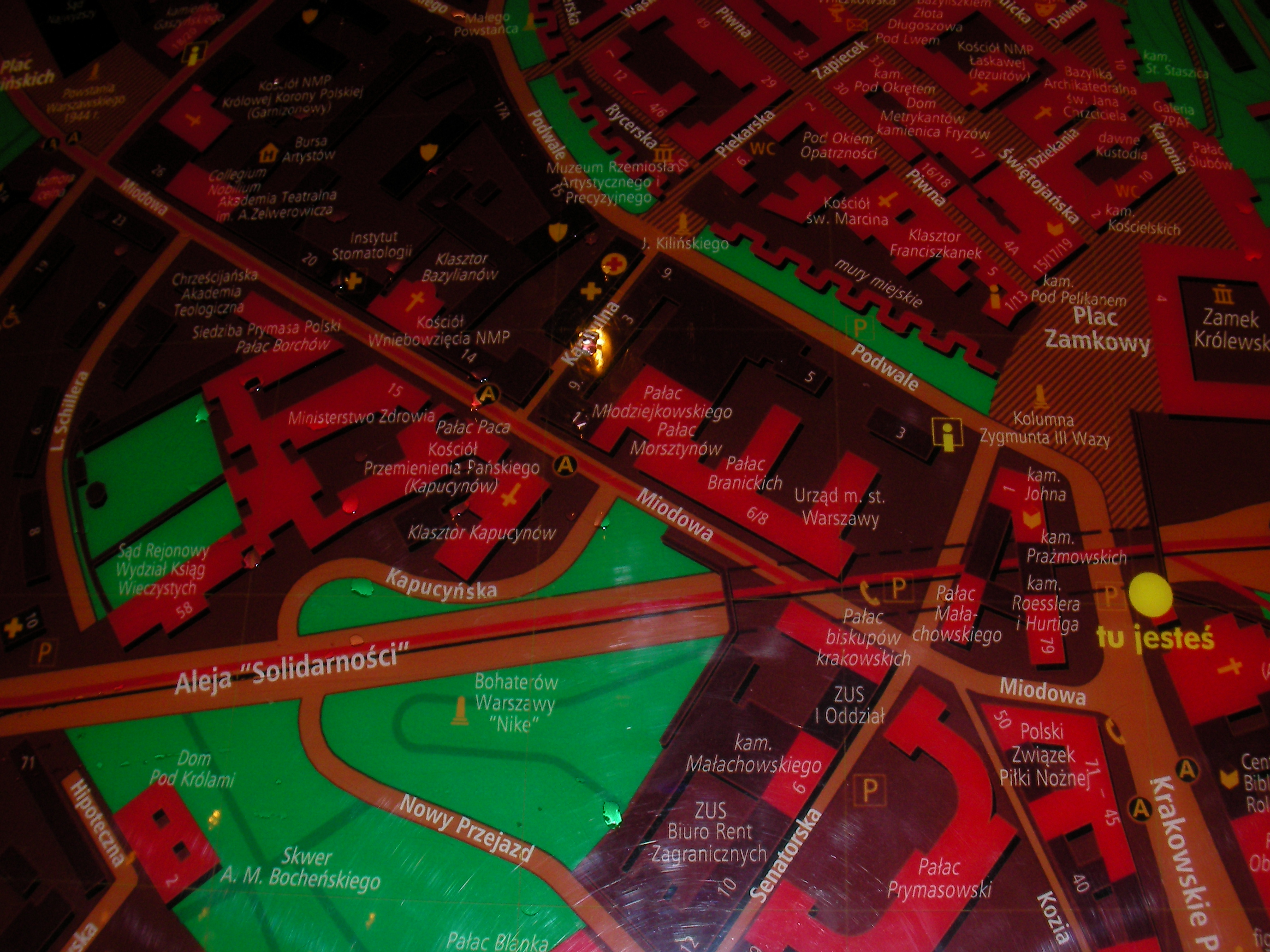
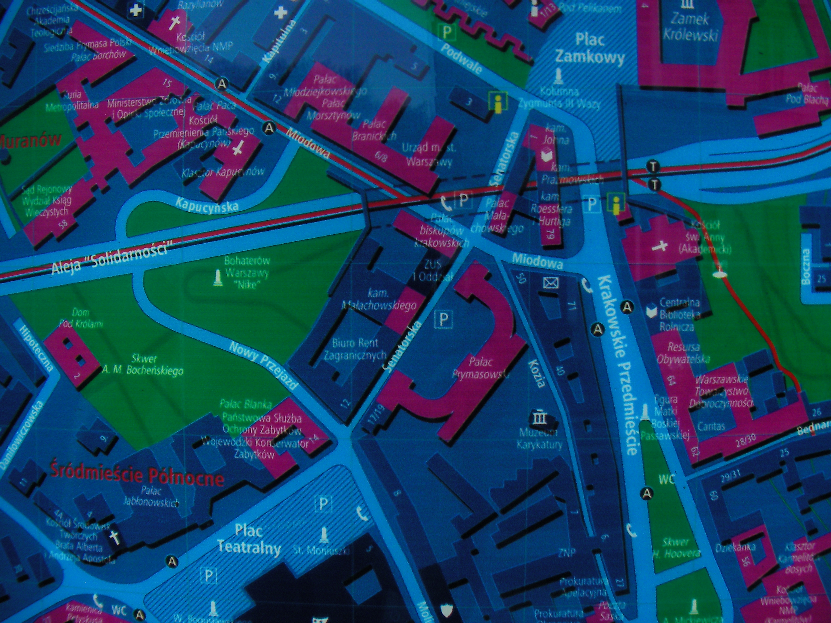
The Old Town (Senatorska)
Crossing of Podwale and Senatorska, south of Stare Miasto. Approximate location.
- Bottom-left, Bottom, Bottom-right, Left, Middle, Right, Top-left, Top, Top-right.
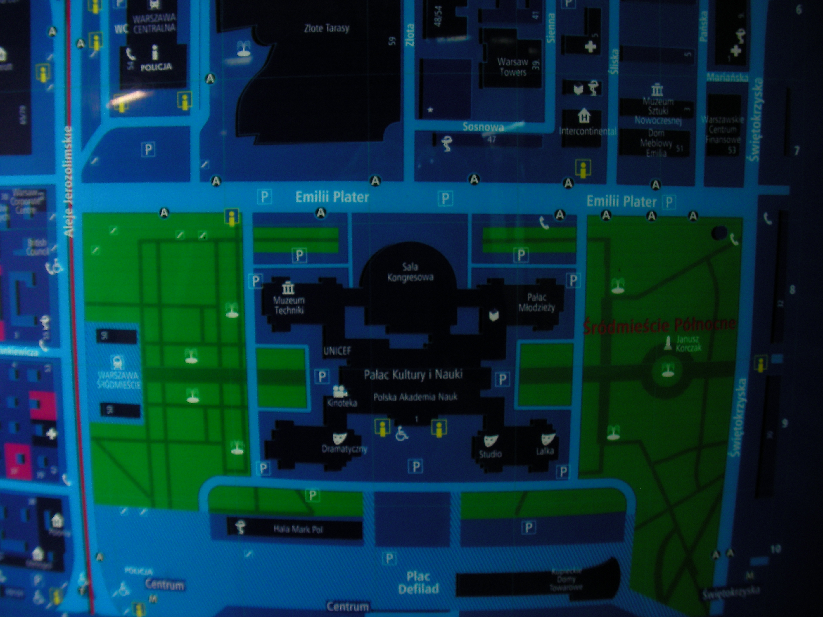
Domy Centrum
In front of the Domy Centrum mall, Marszałkowska street. Approximate location.
- Bottom-left, Bottom, Bottom-right, Right, Middle, Left, Top-right, Top, Top-left.
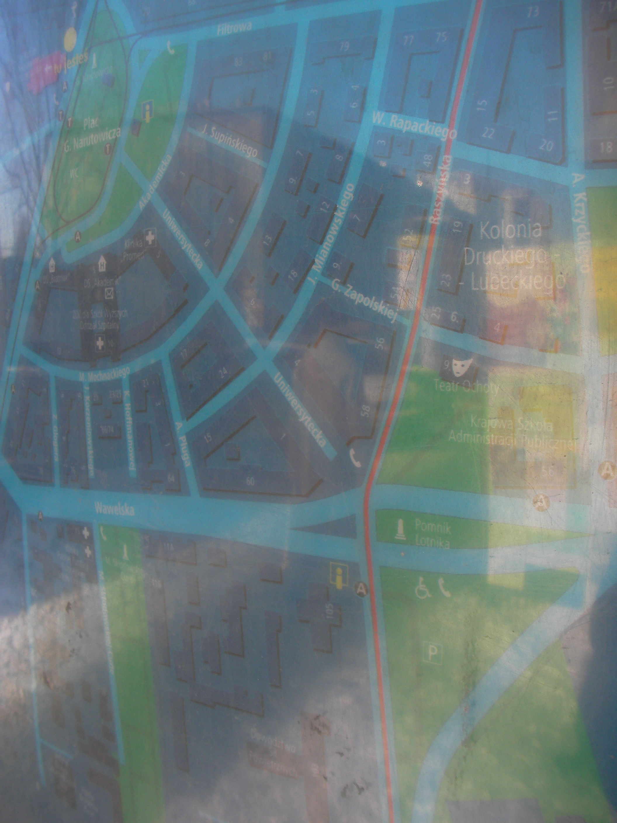
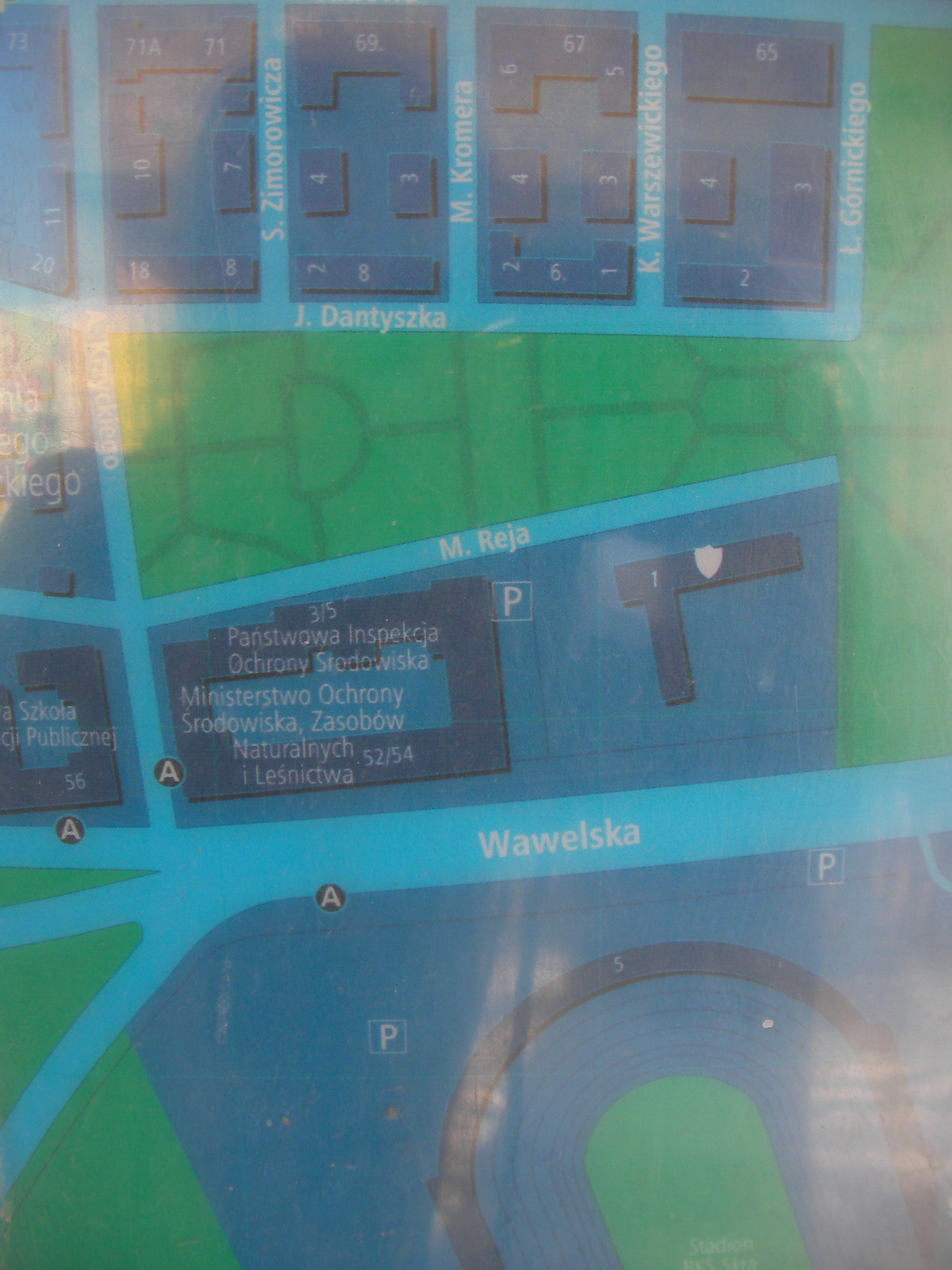
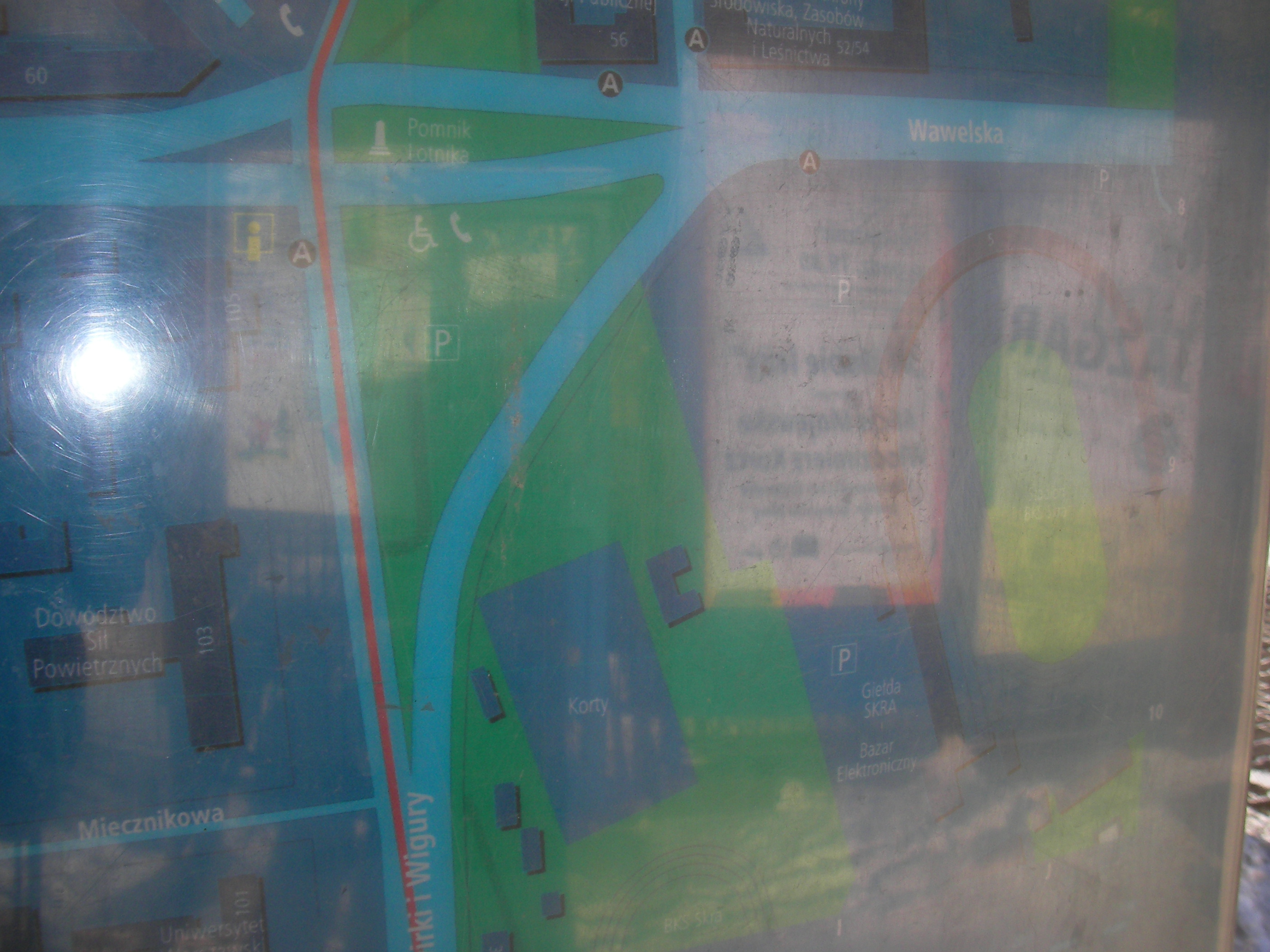
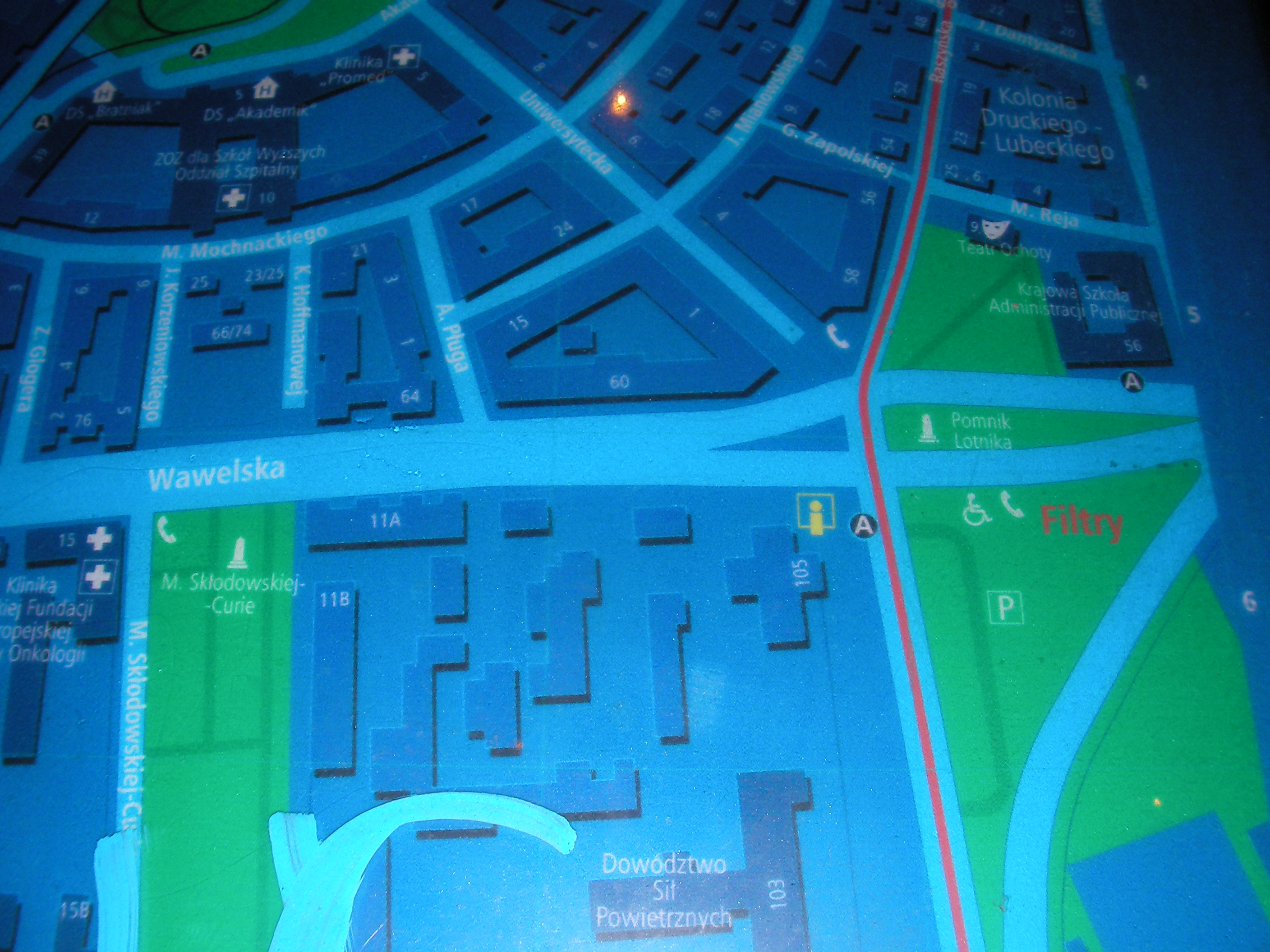
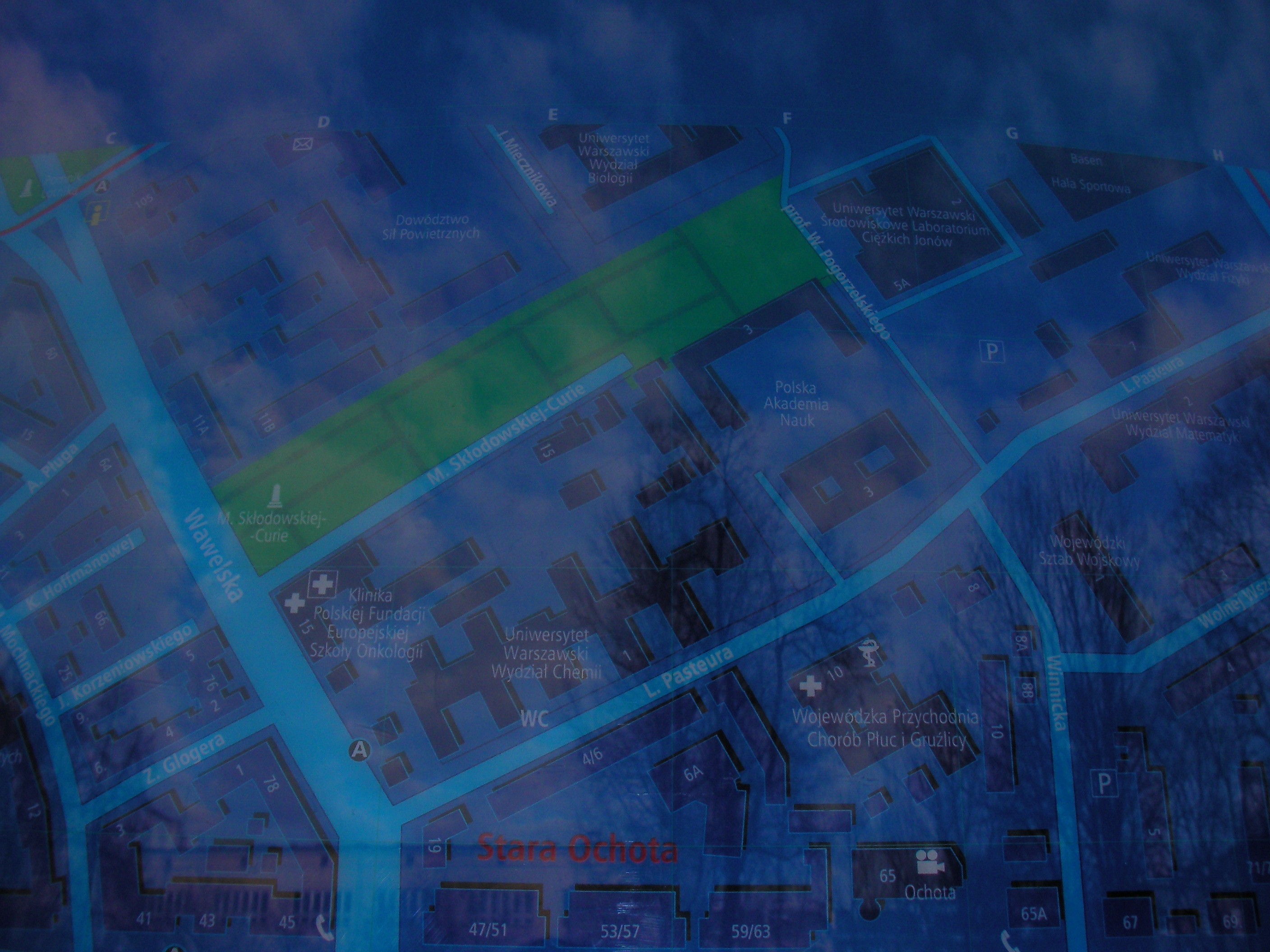
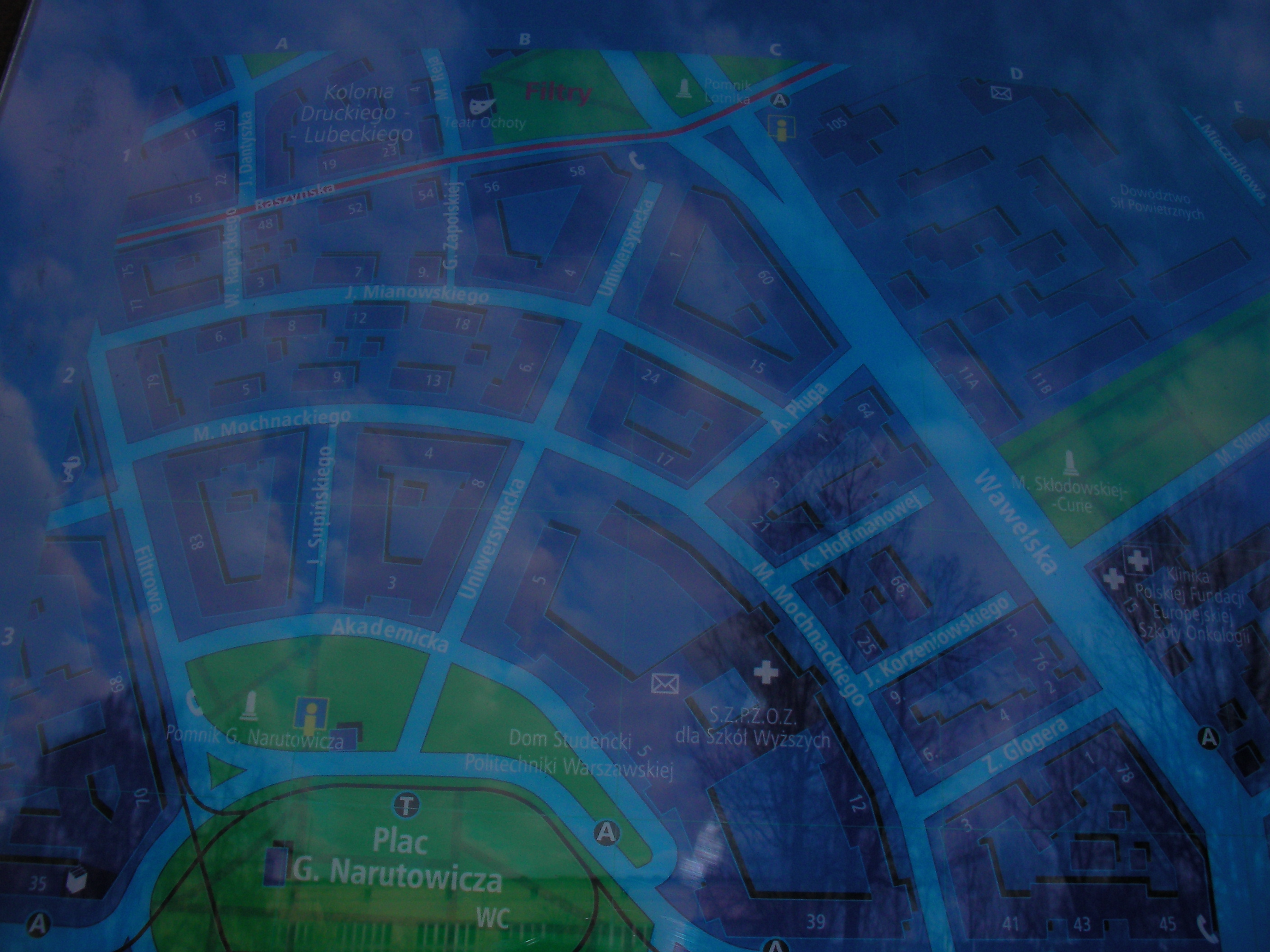
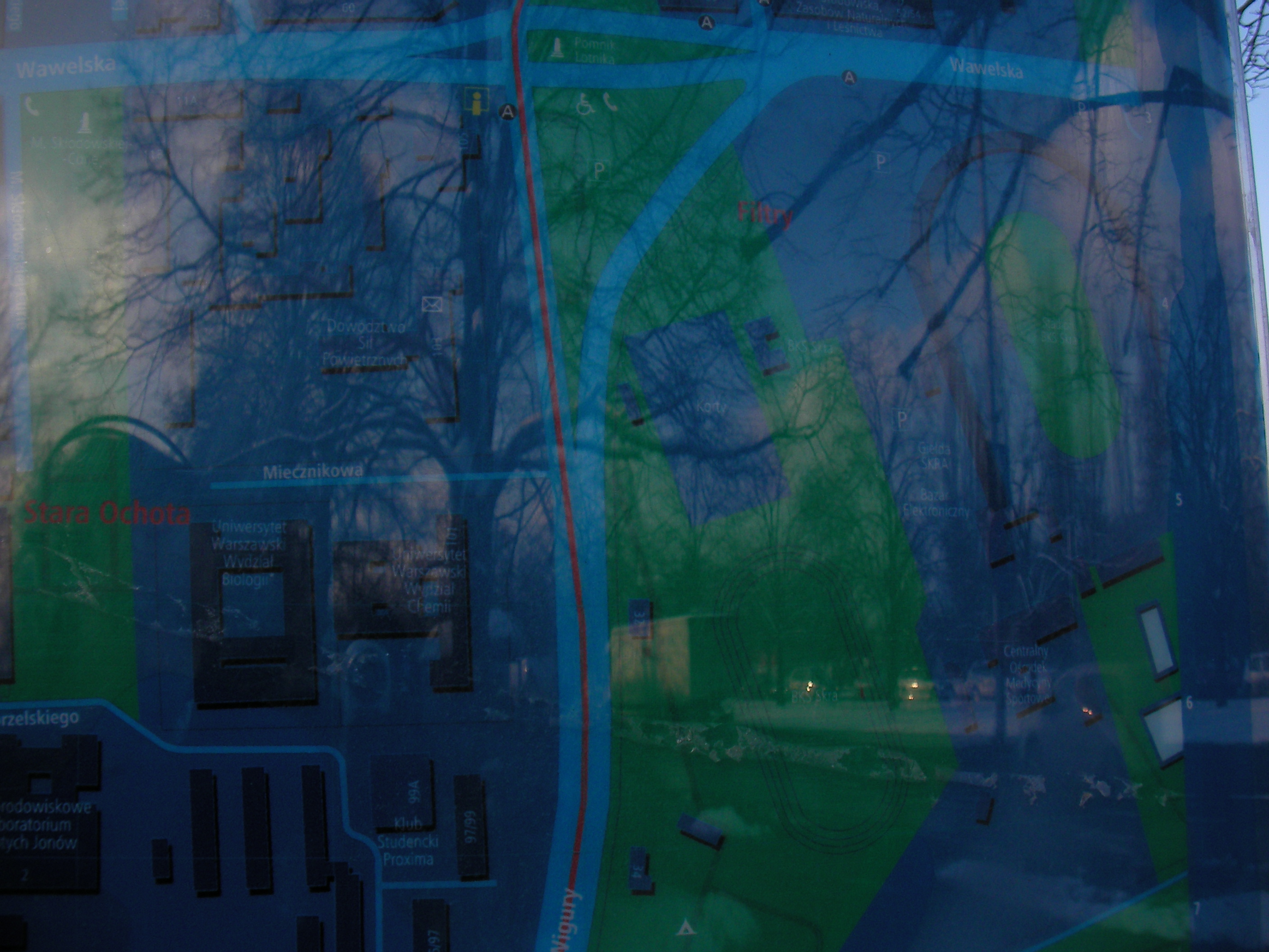
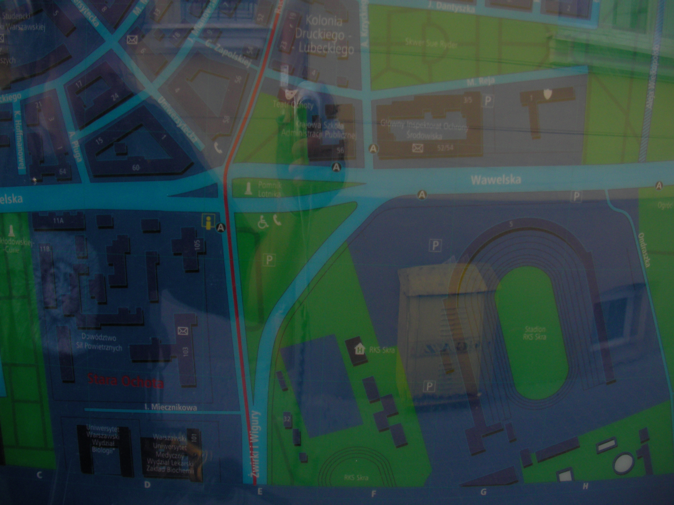
Pomnik Lotnika
At the crossing of Wawelska and Żwirki i Wigury. Approximate location.
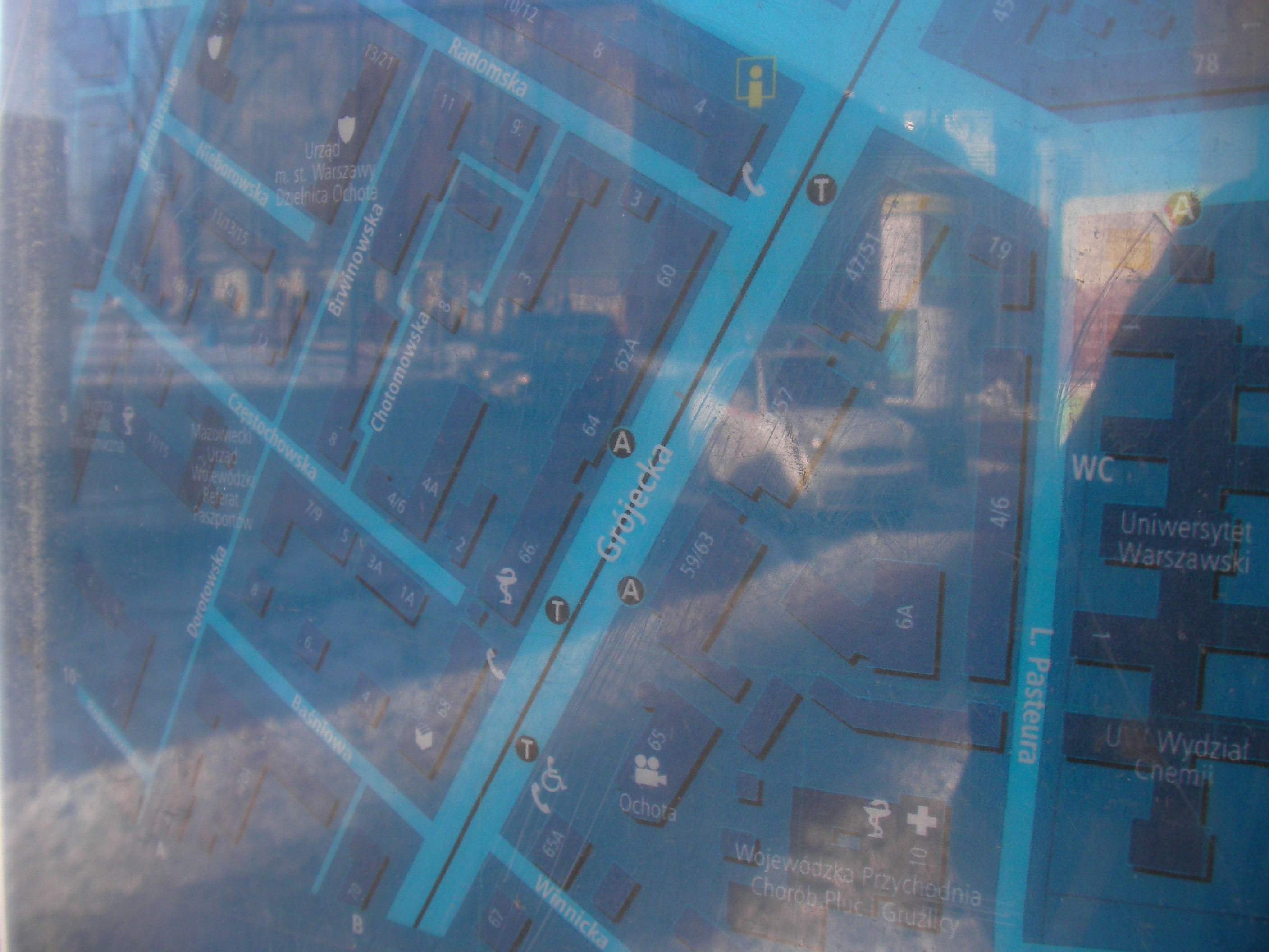
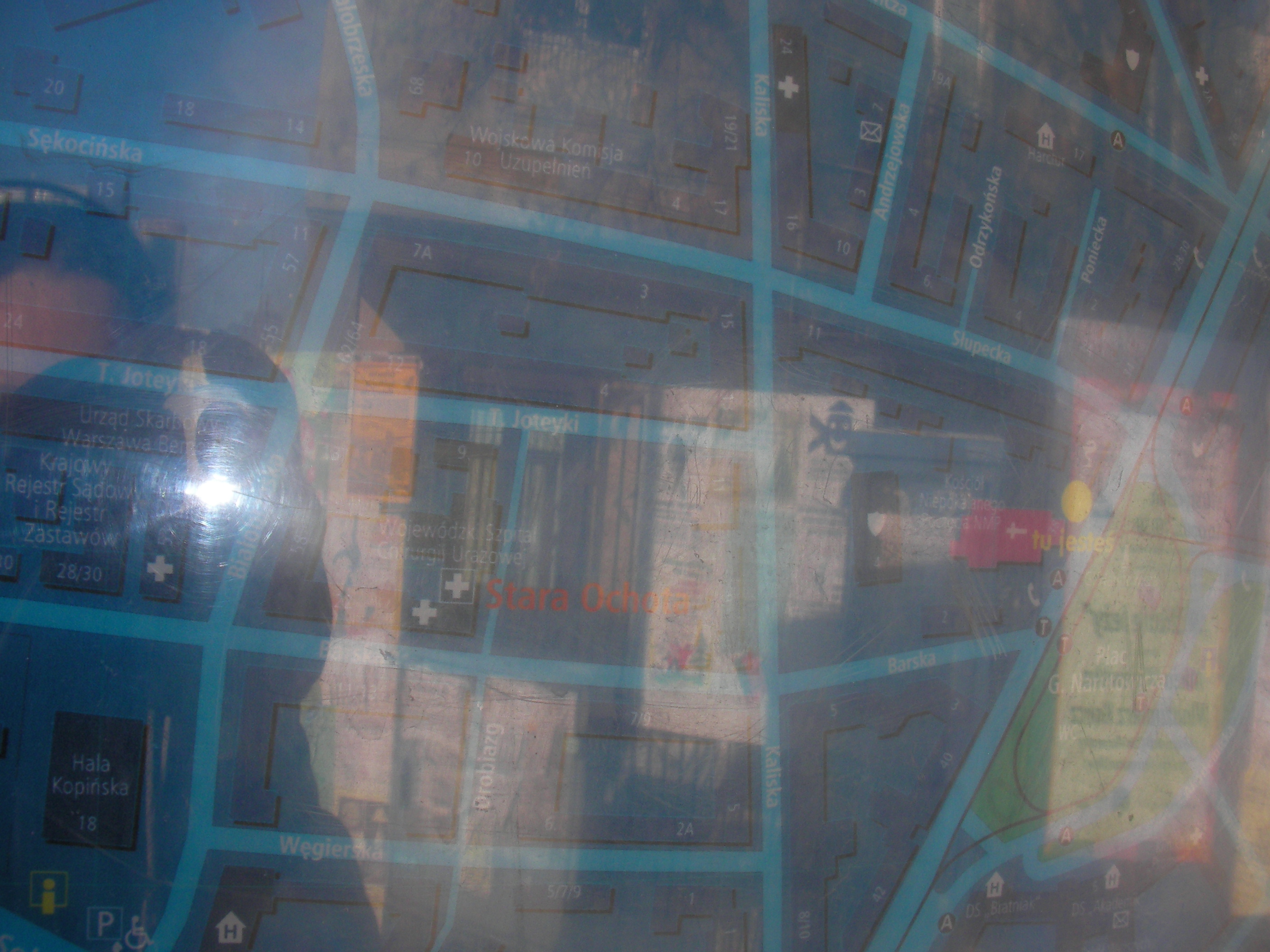
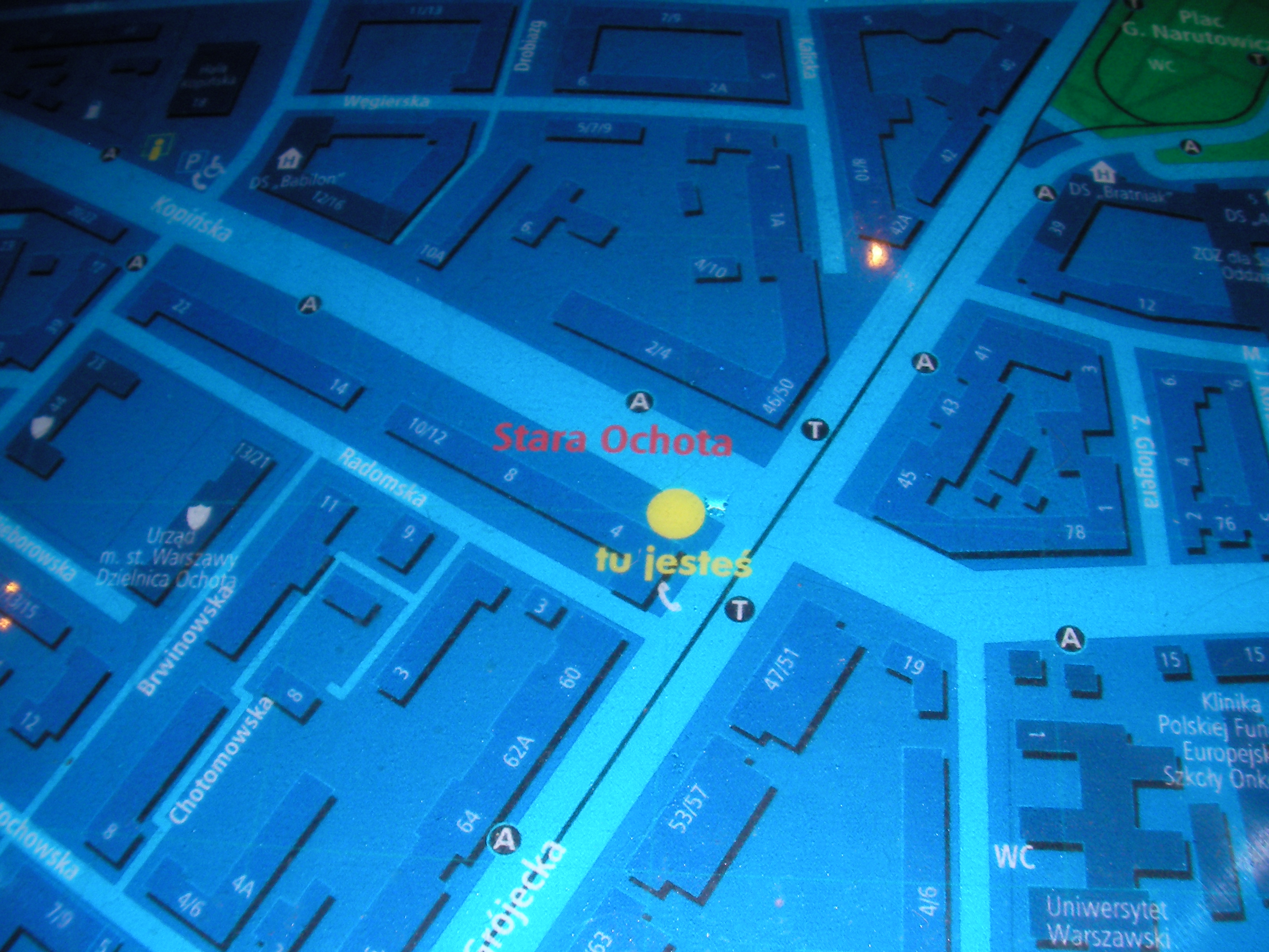
Radomska
At the wall of a school in Ochota. Approximate location.
- Bottom-right, Bottom, Bottom-left, Left, Middle, Right, Top-right, Top, Top-left, Left.
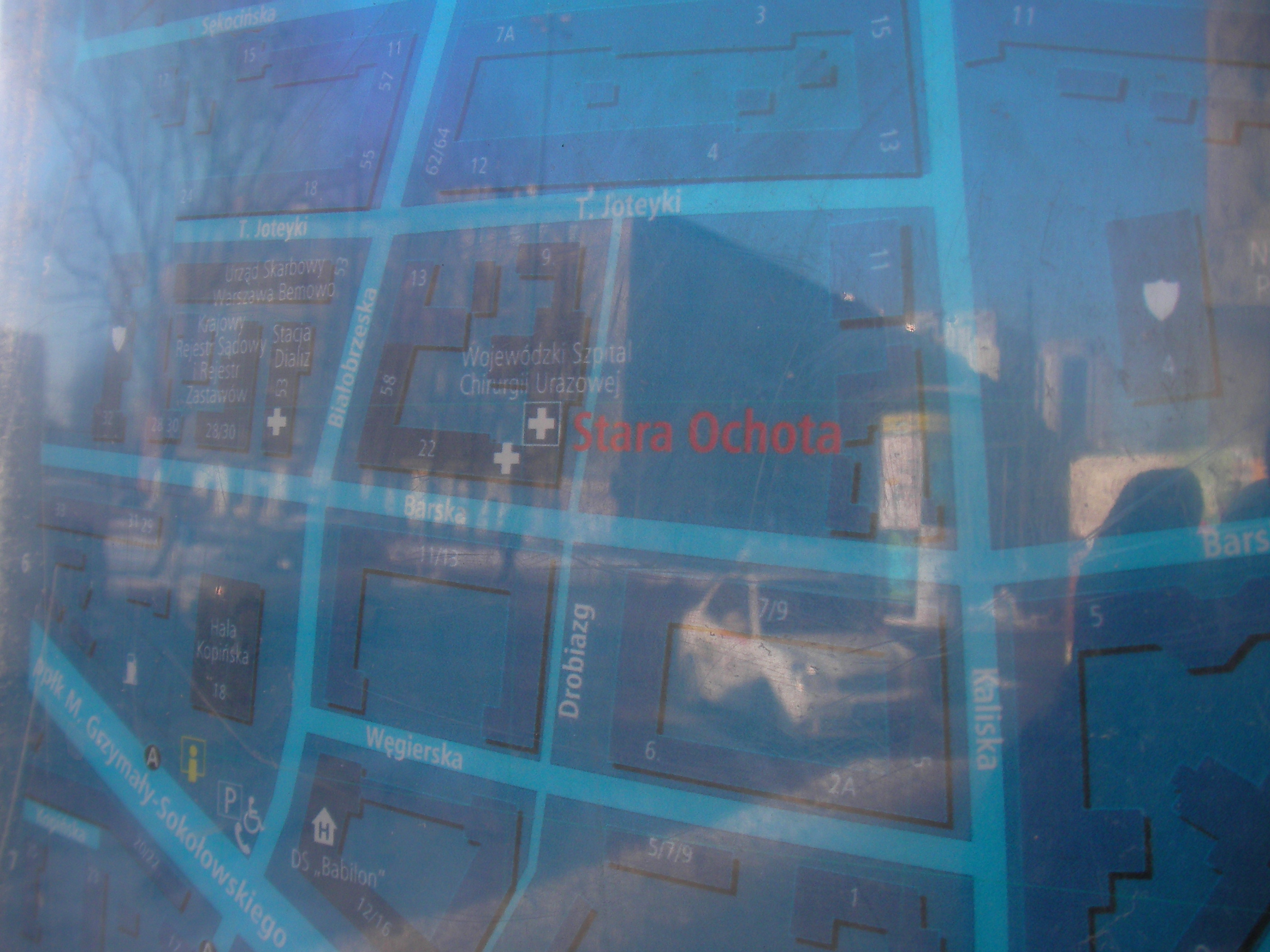
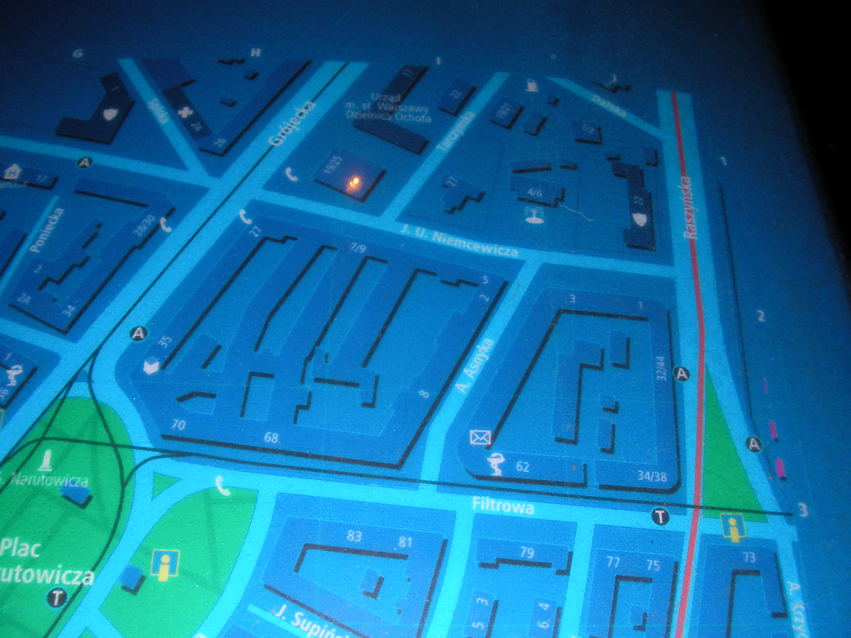
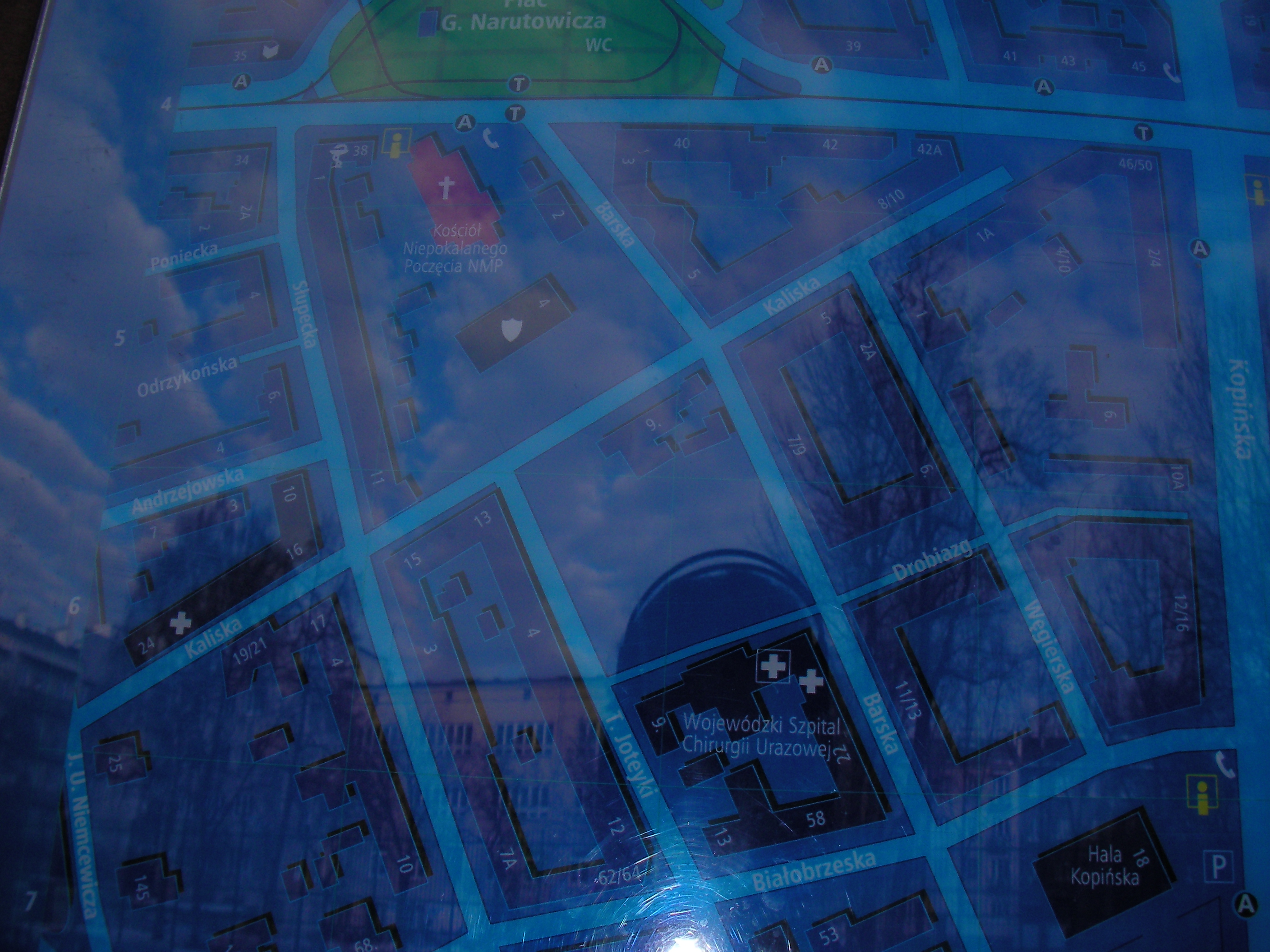
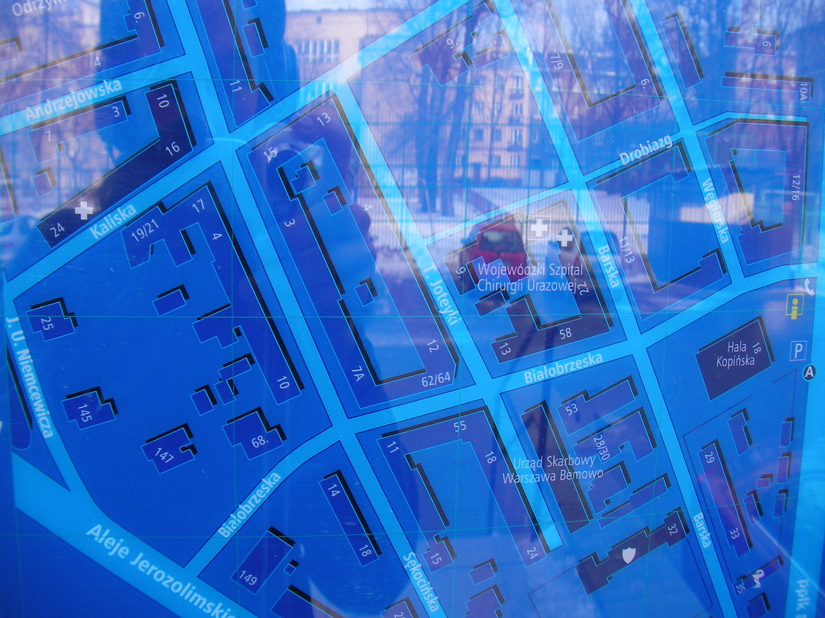
Hala Kopińska
At the crossing of Białobrzeska and Kopińska streets. Approximate location.
- Bottom-left, Left, Top-left, Top, Middle, Bottom, Bottom-right, Right, Top-right.
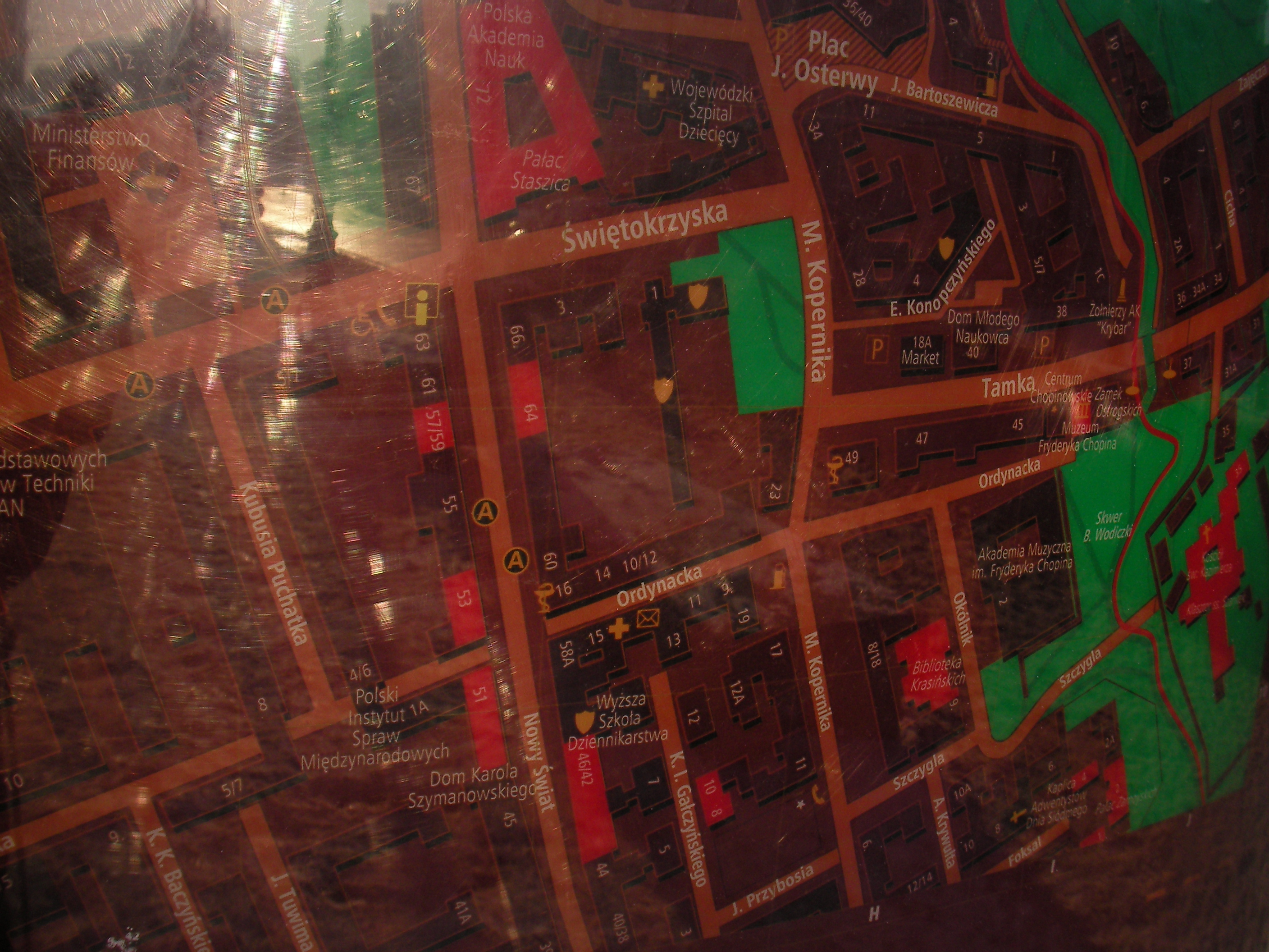
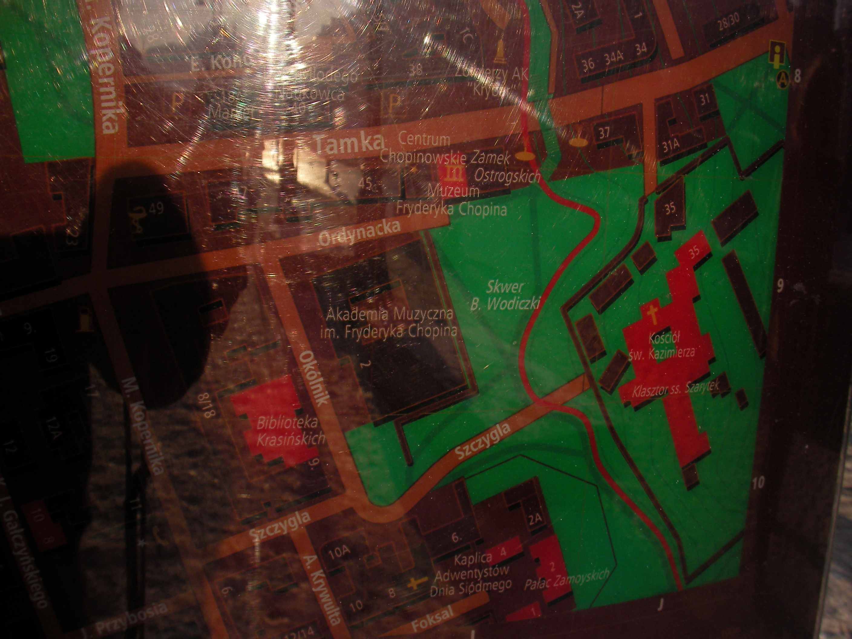
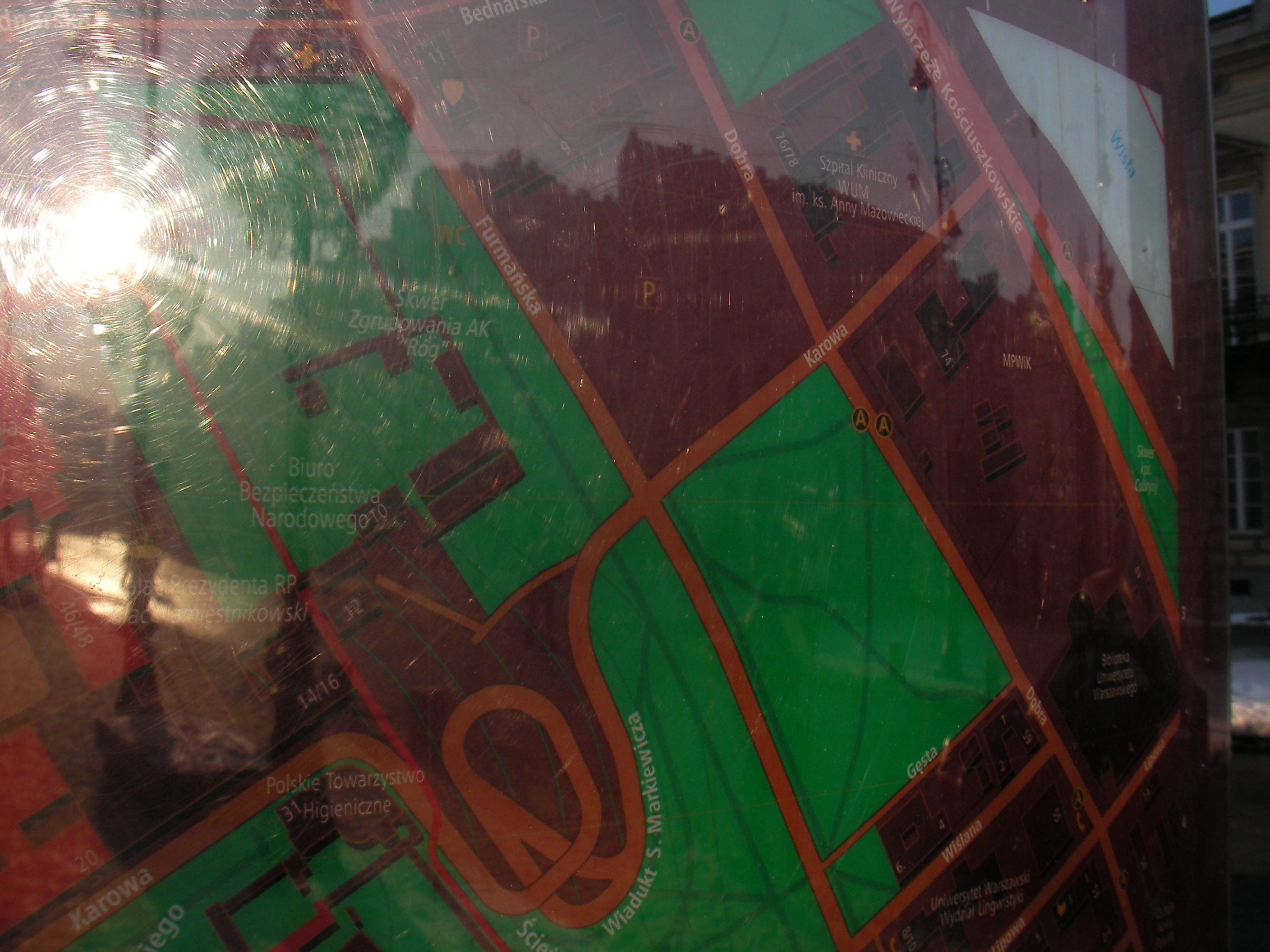
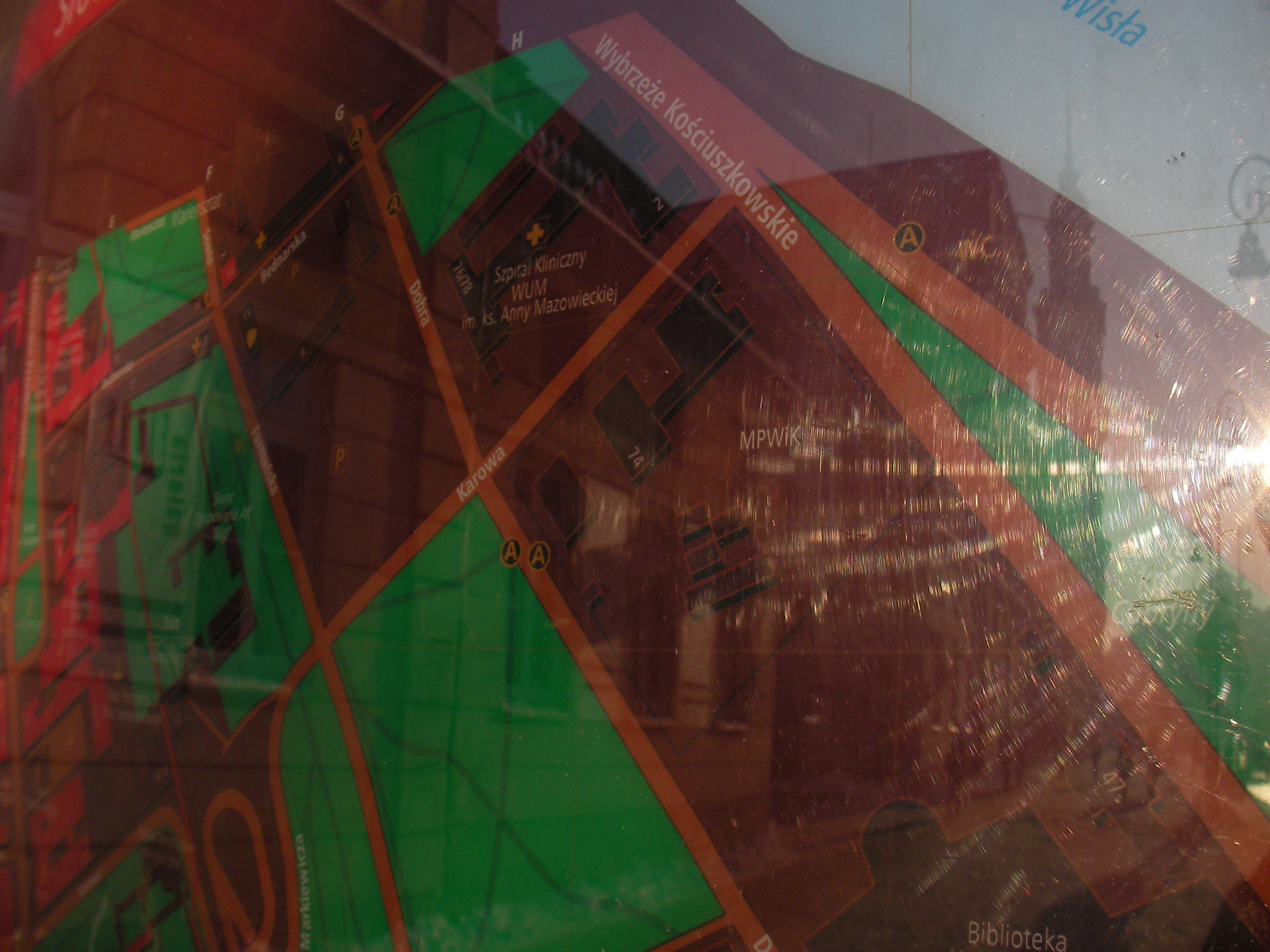
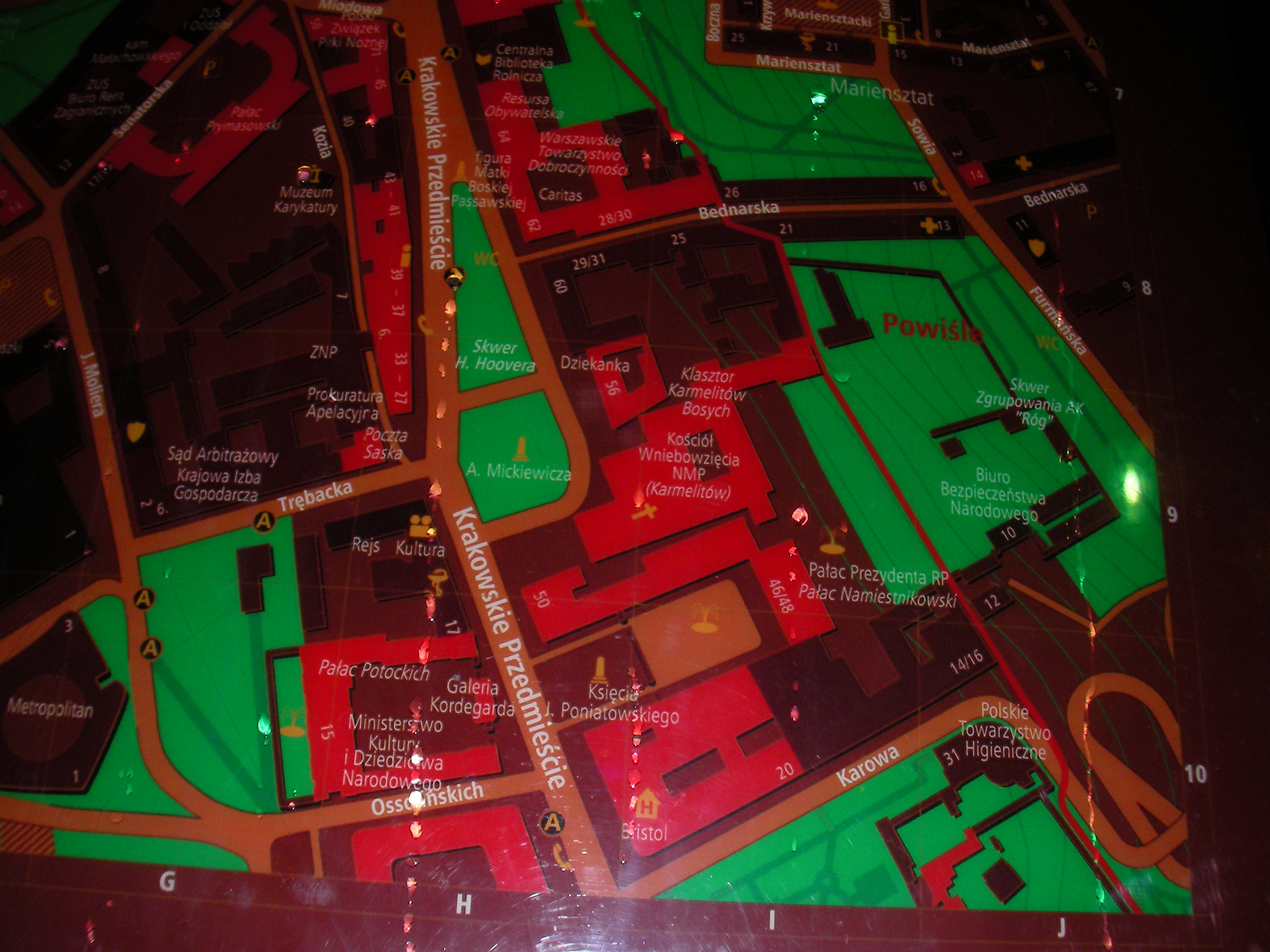
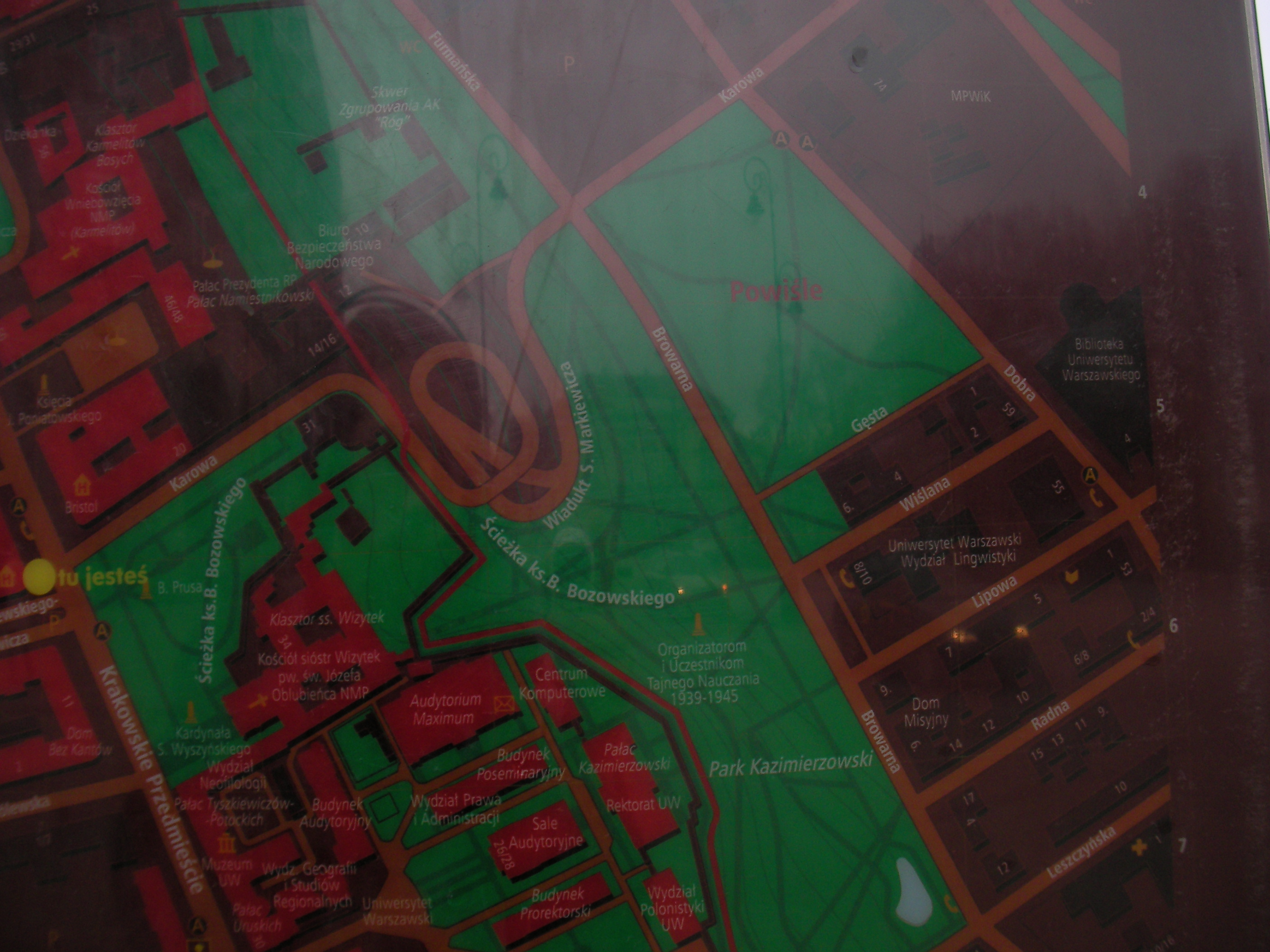
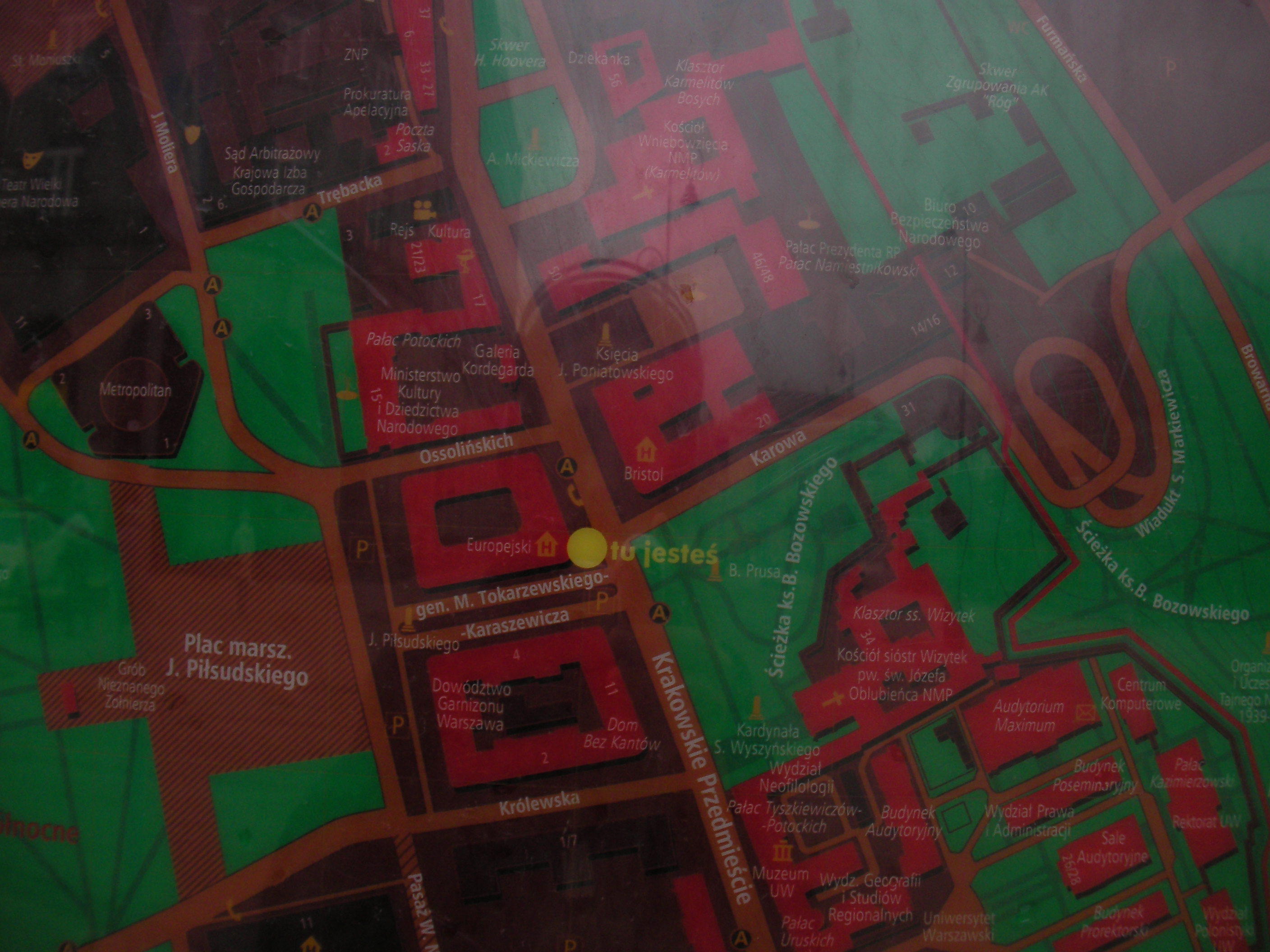
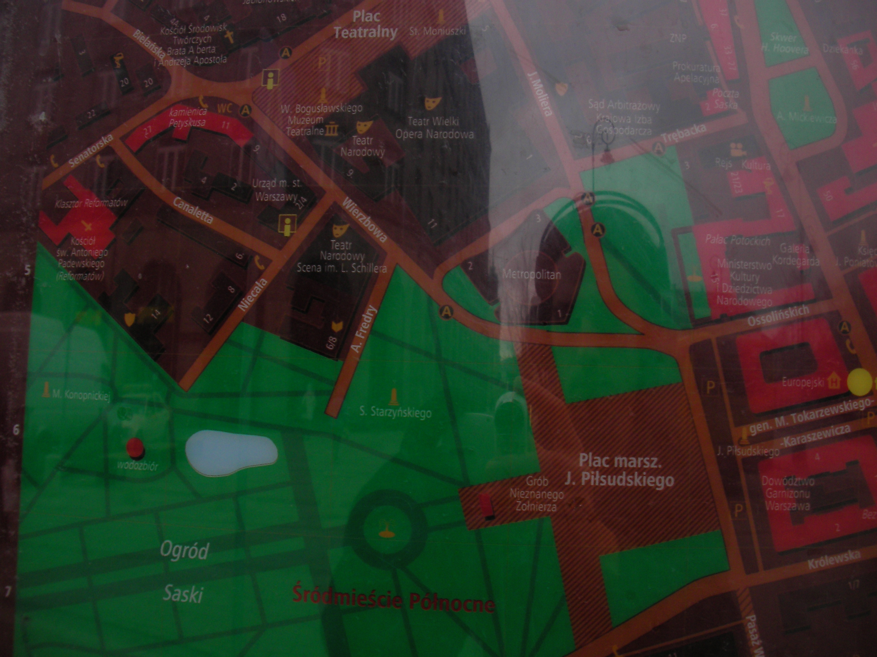
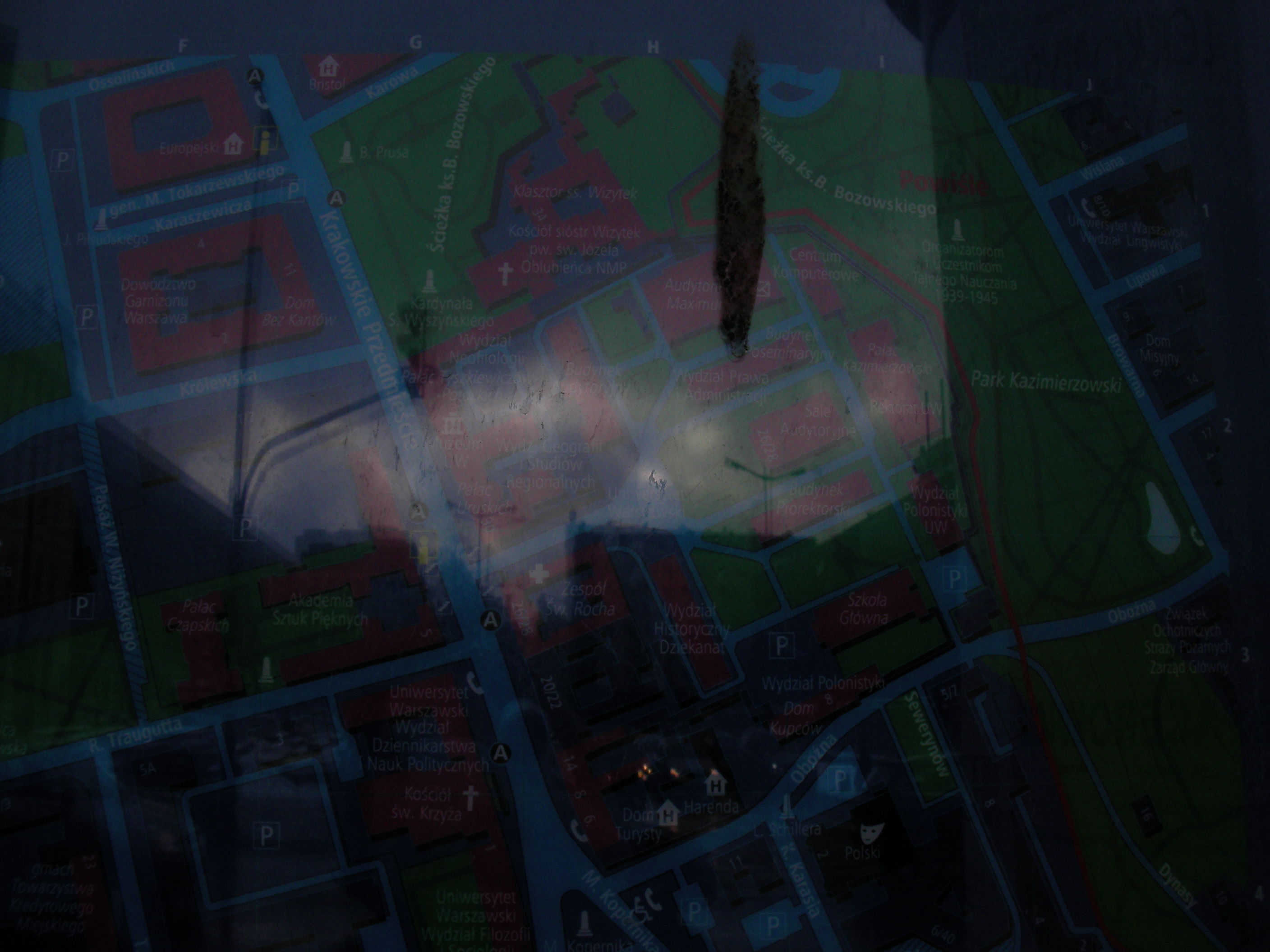
Karowa
Crossing of Krakowskie Przedmieście & Karowa. Approximate location.
- Bottom-right, Bottom, Bottom-left, Right, Middle, Left, Top-right, Top, Top-left.
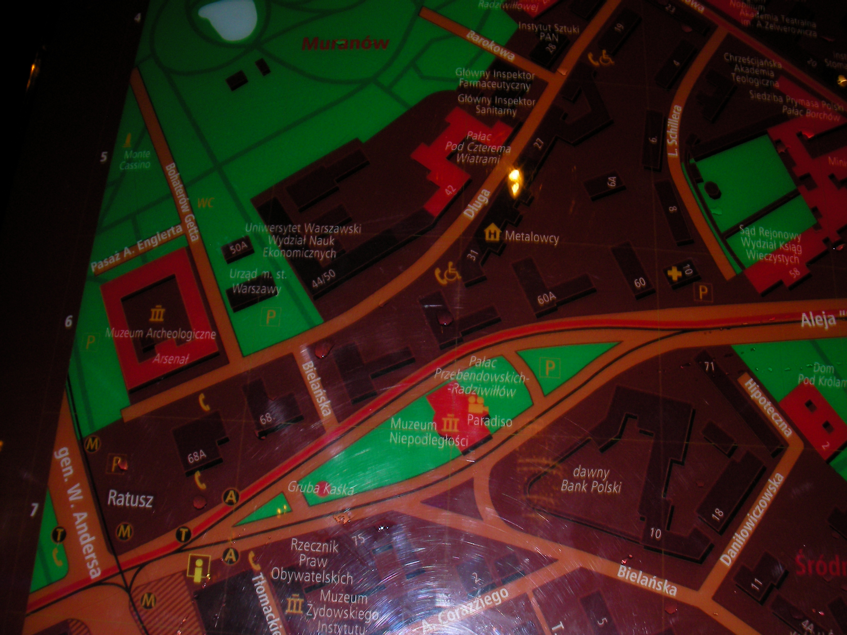
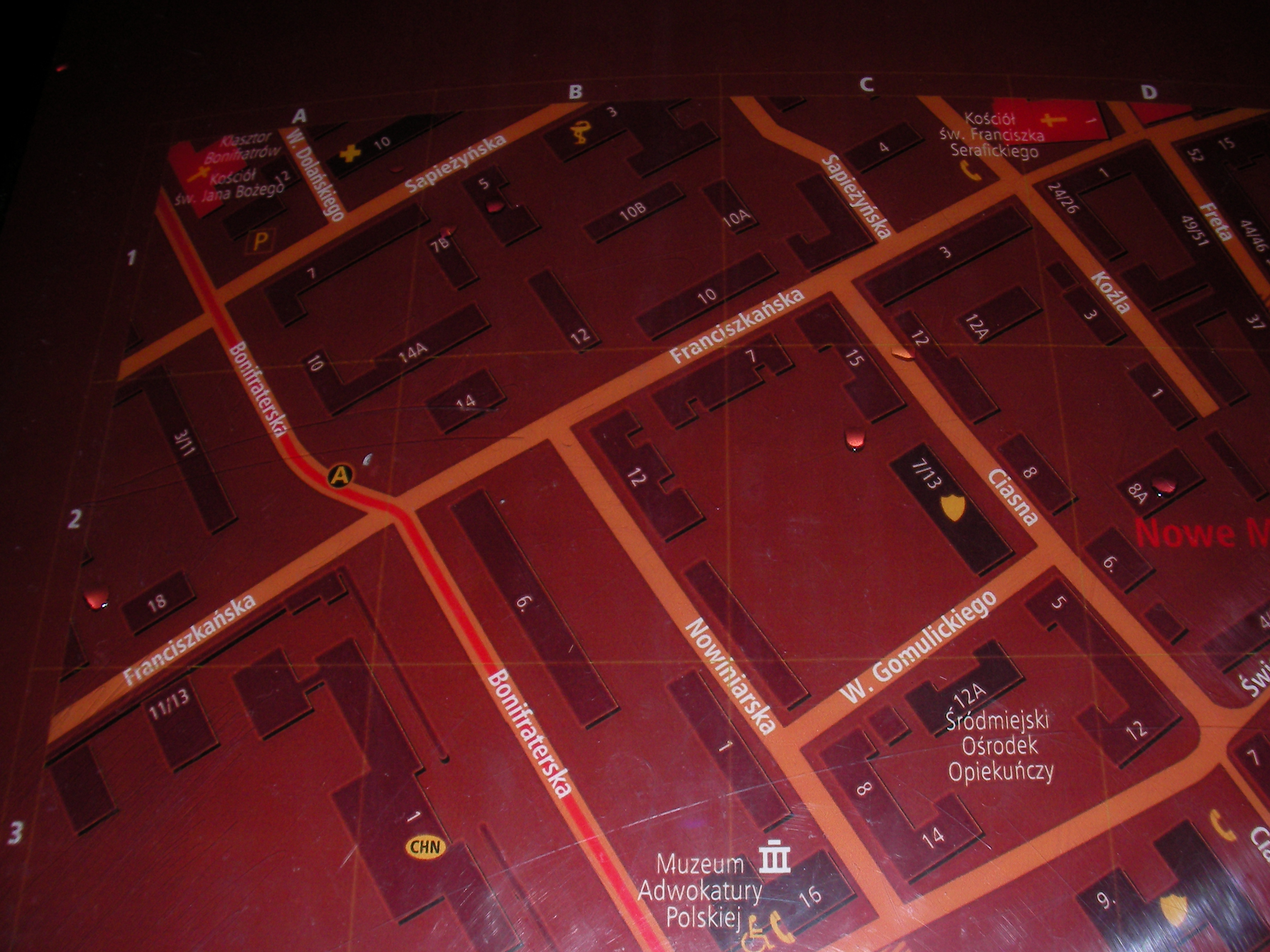
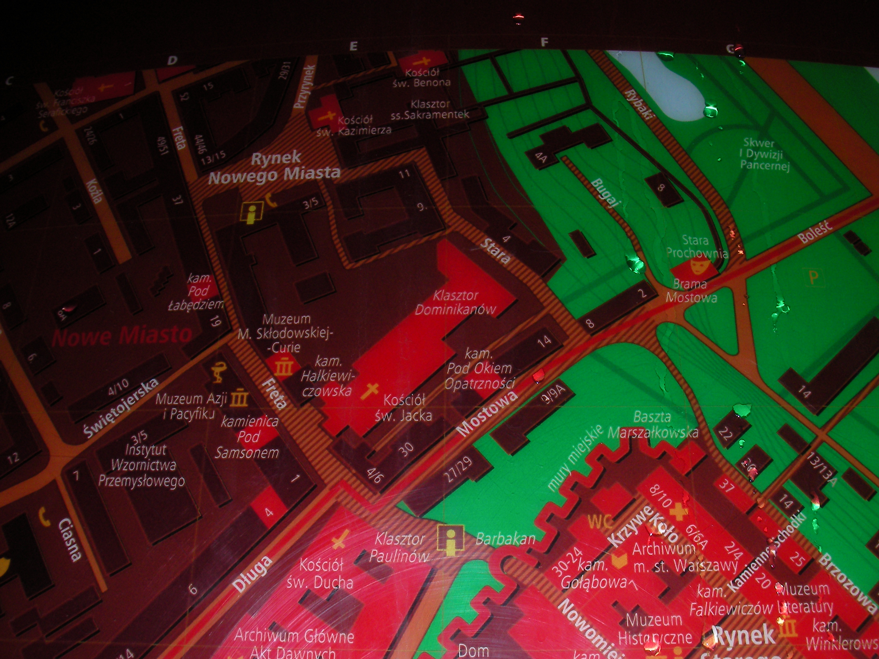
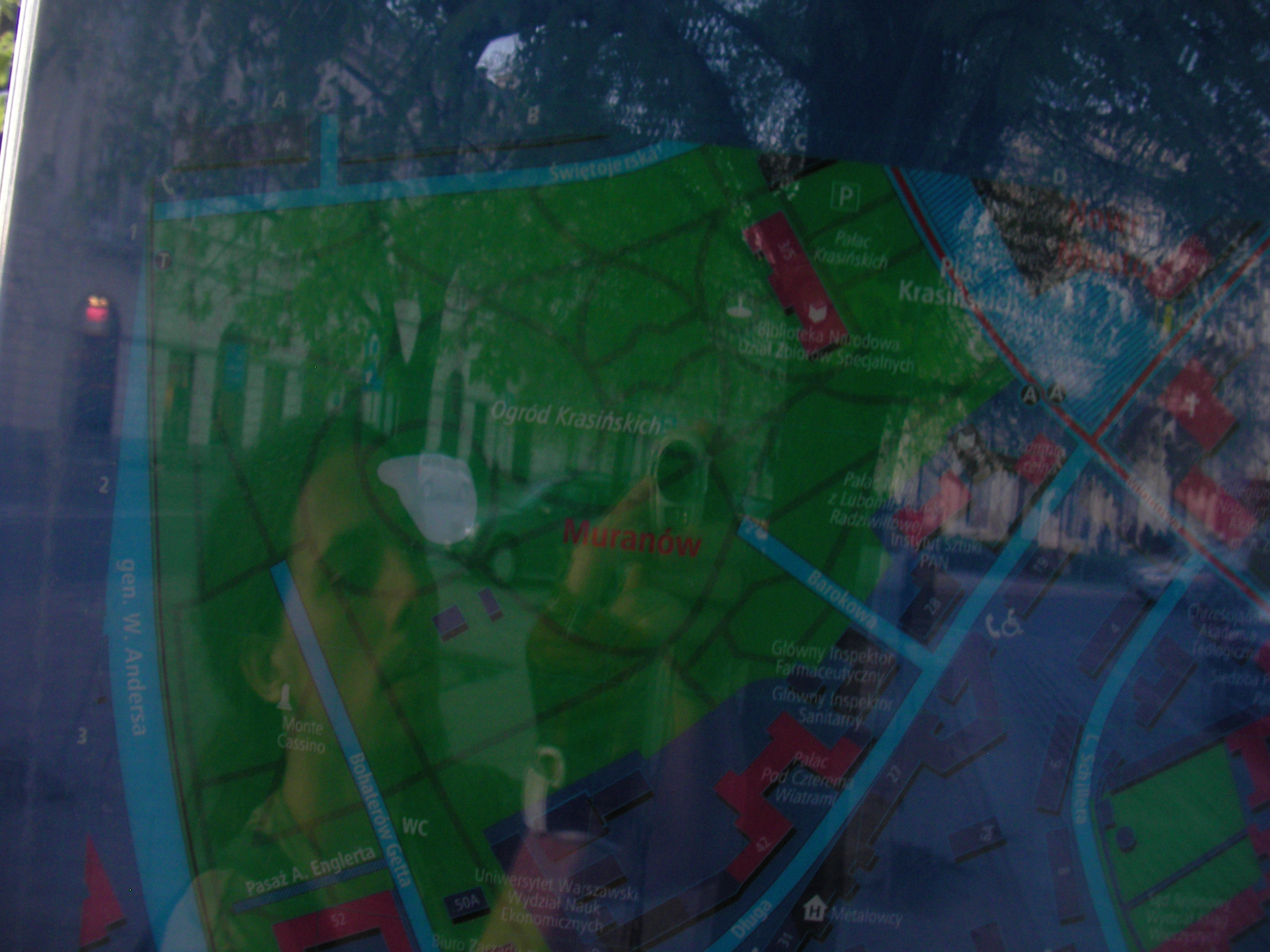
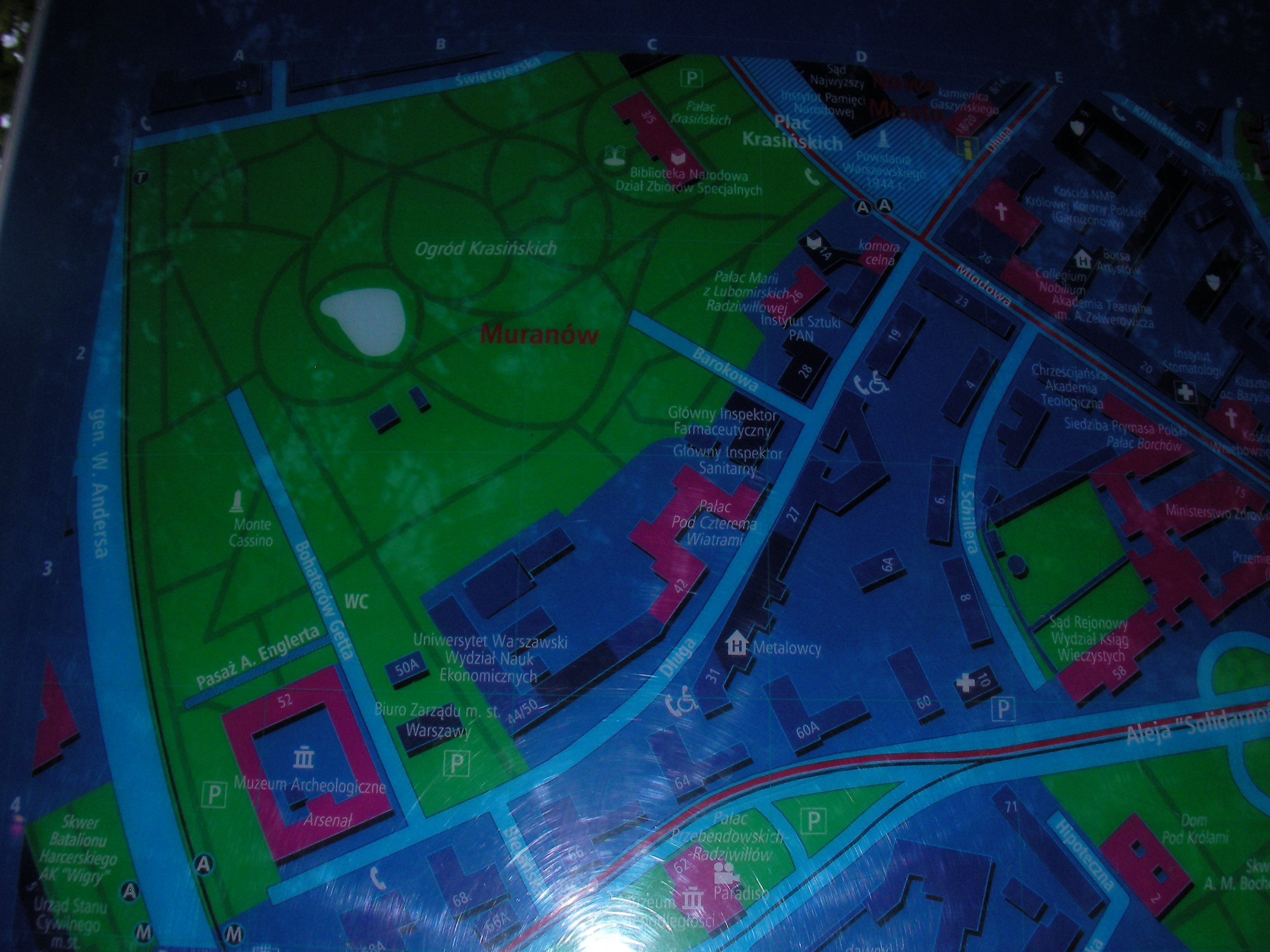
Długa
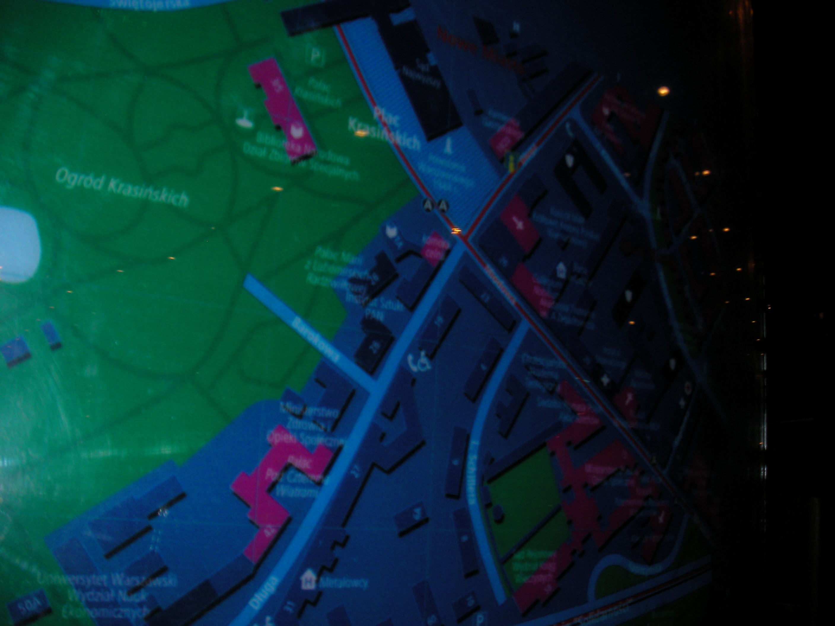
East side of Długa, Nowe Miasto area. Approximate location.
- Poor visibility with reflections. Bottom-left, Left, Left, Top-left, Top-left, Left again, Top, Top, Top-left, Left, Top-left.
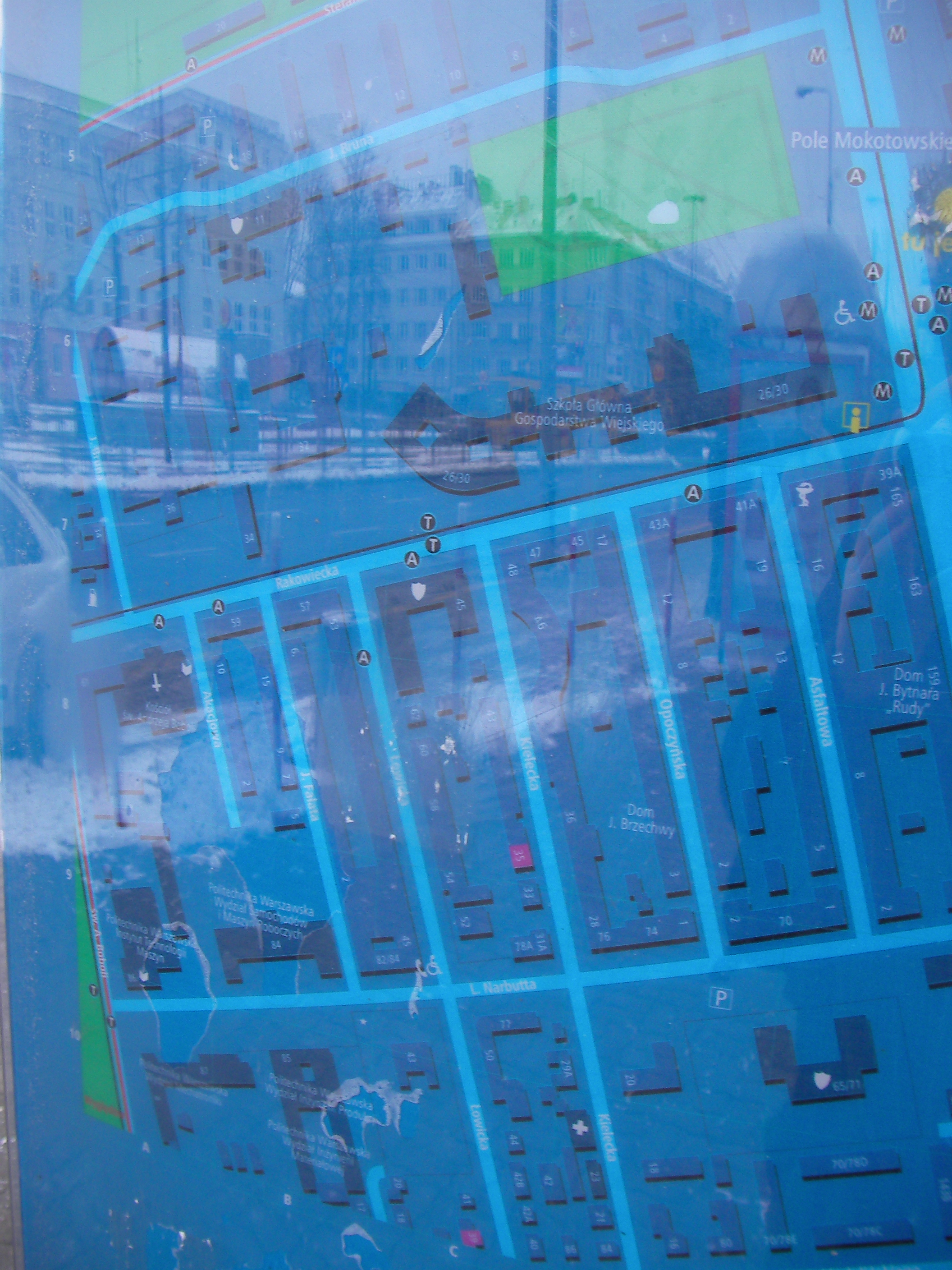
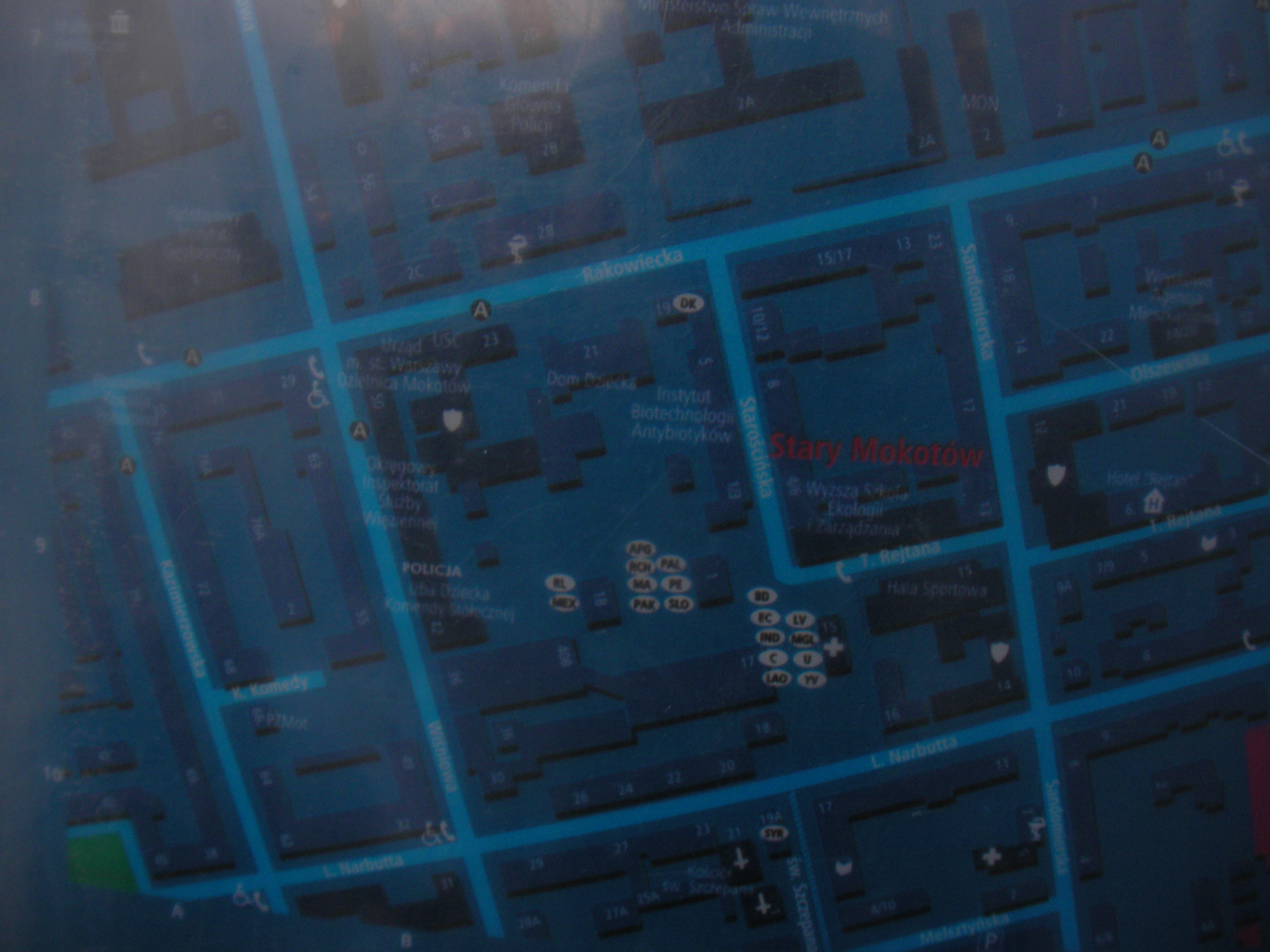
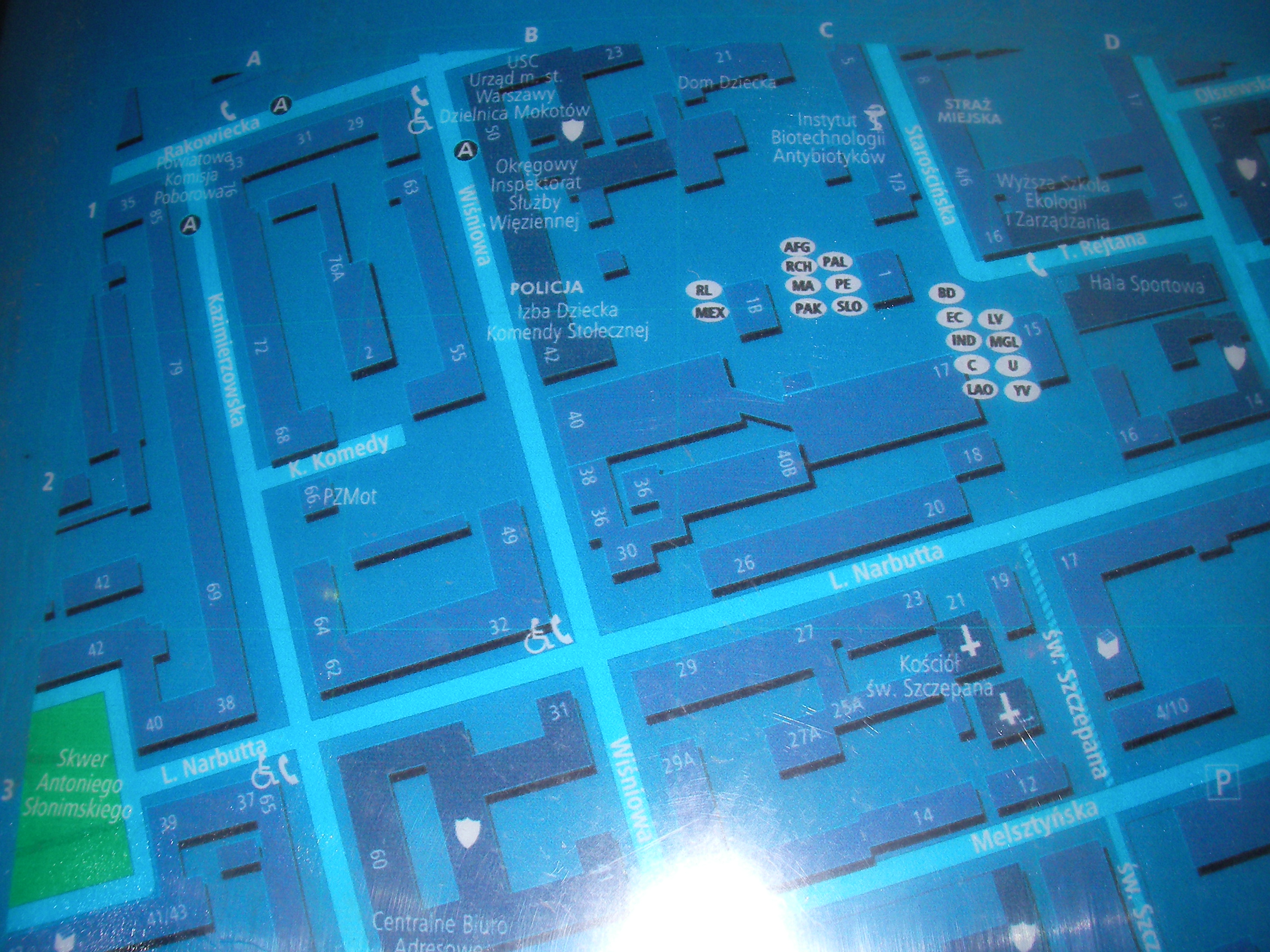
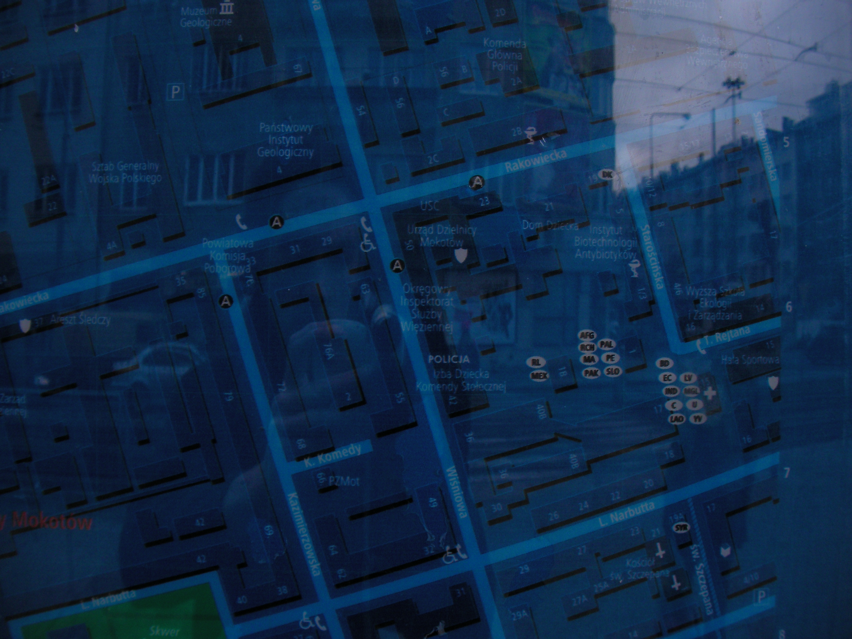
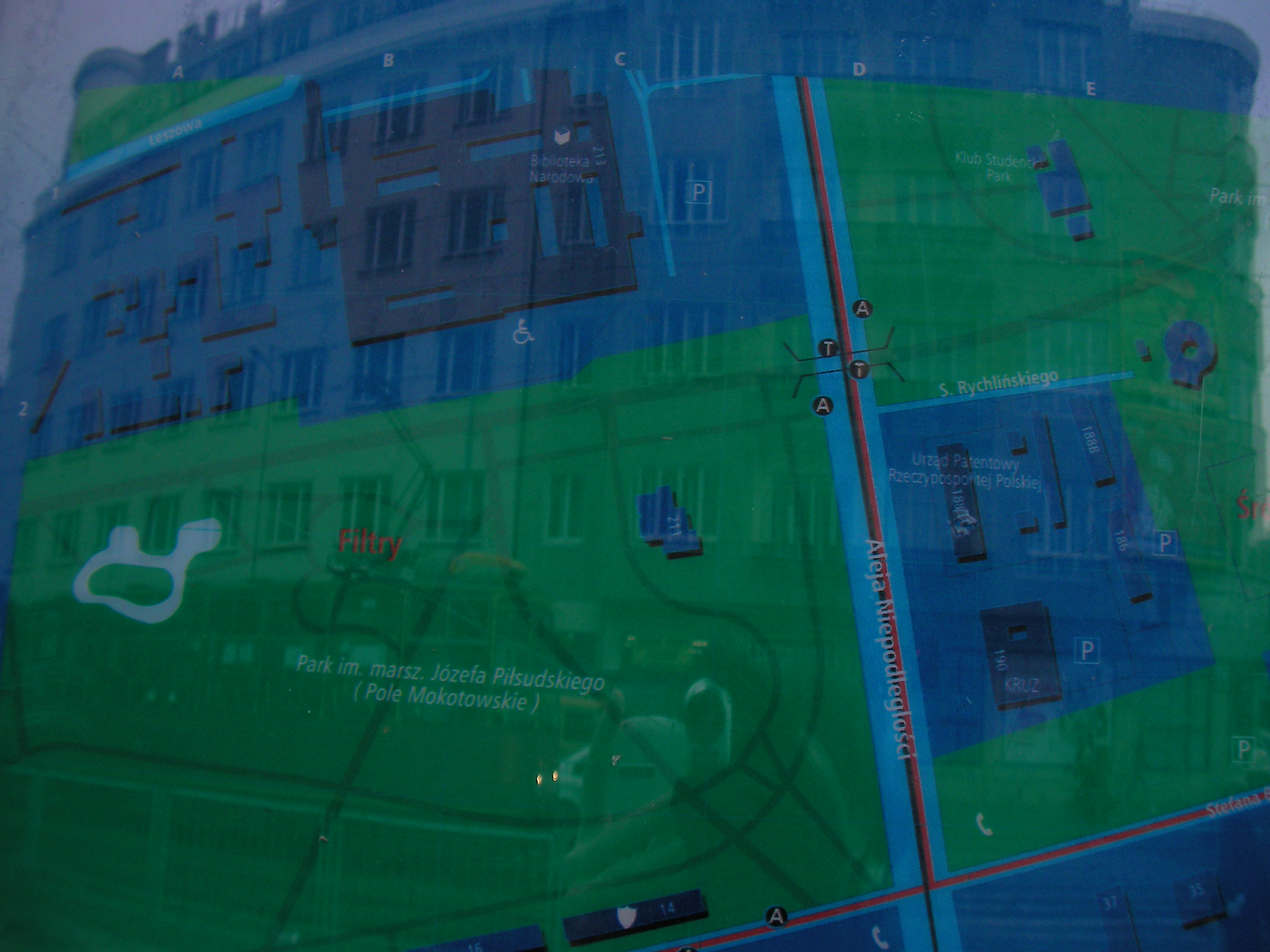
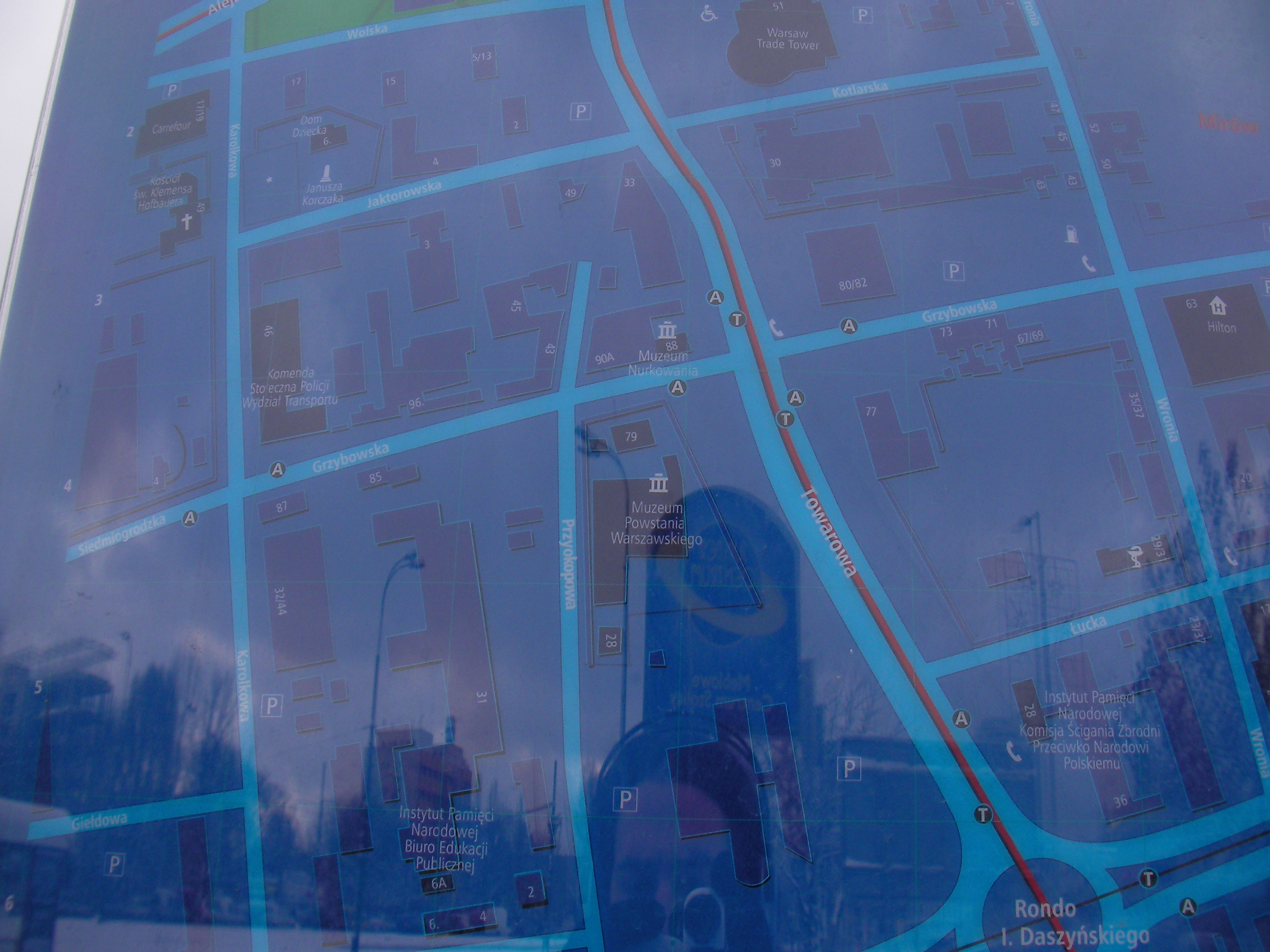
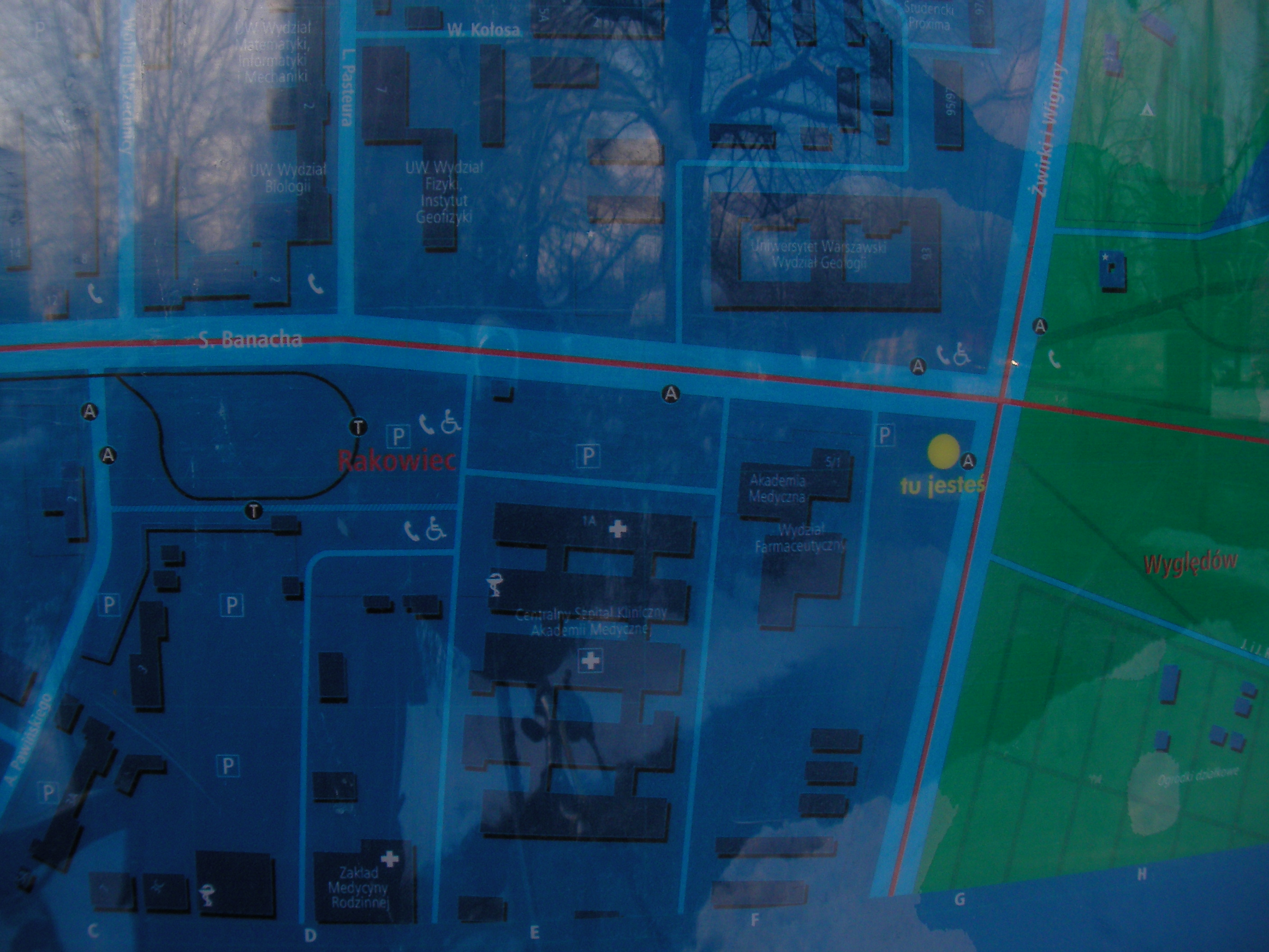
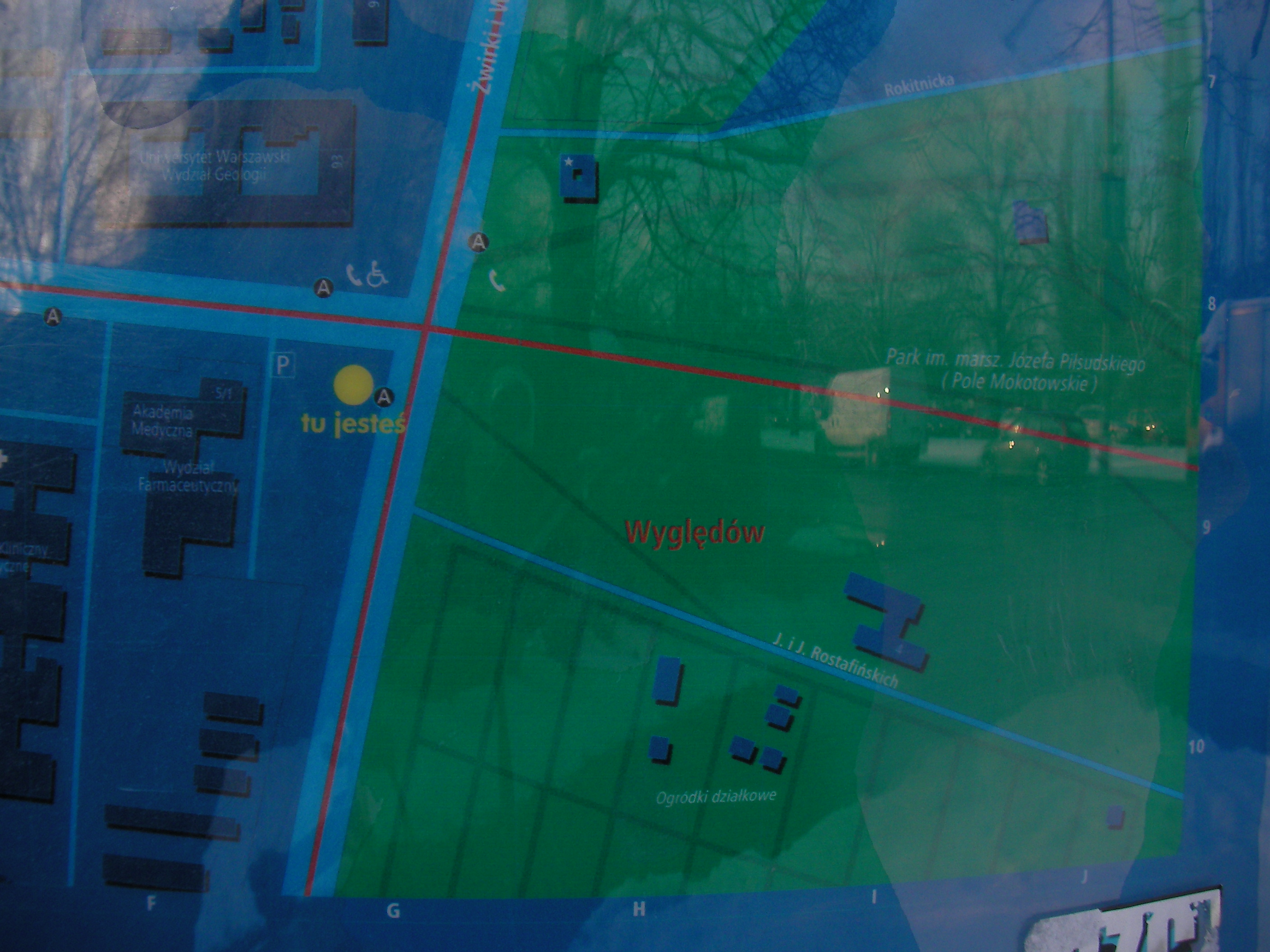
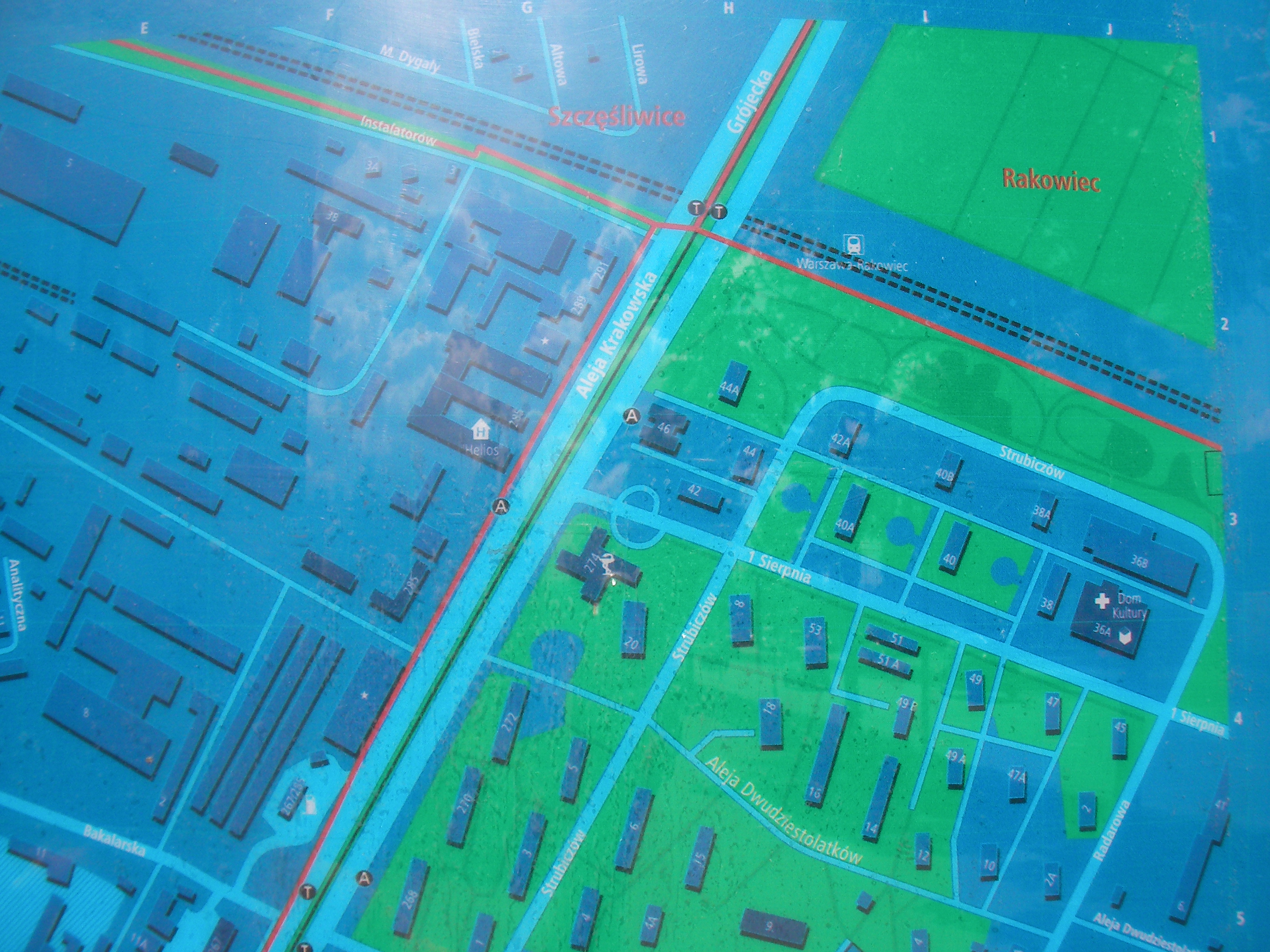
Rakowiecka
Pole Mokotowskie subway station south exit. Approximate location.
- Bottom-left, Bottom, Bottom-right, Right, Middle, Left, Top-left, Top, Top-right.
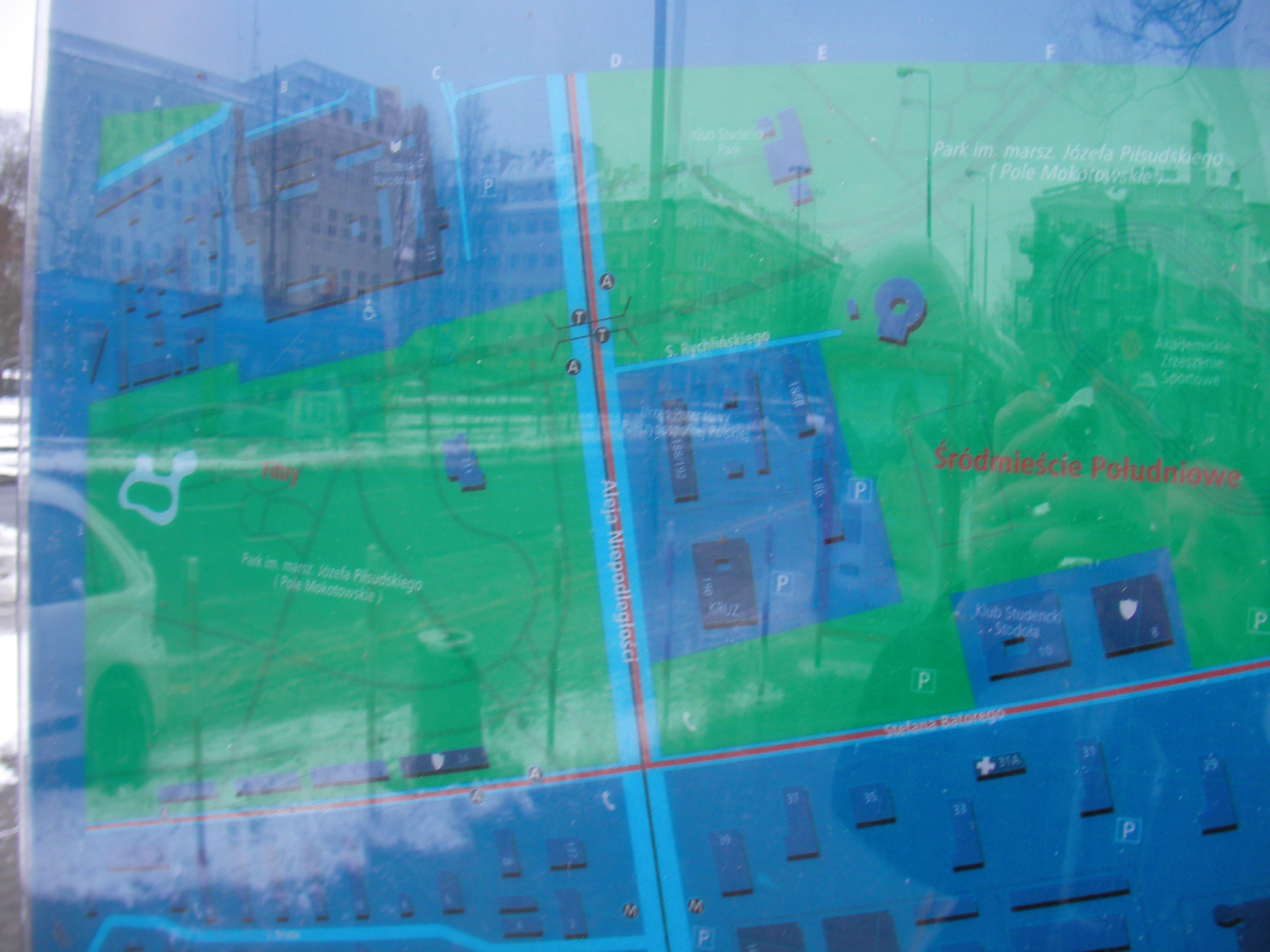
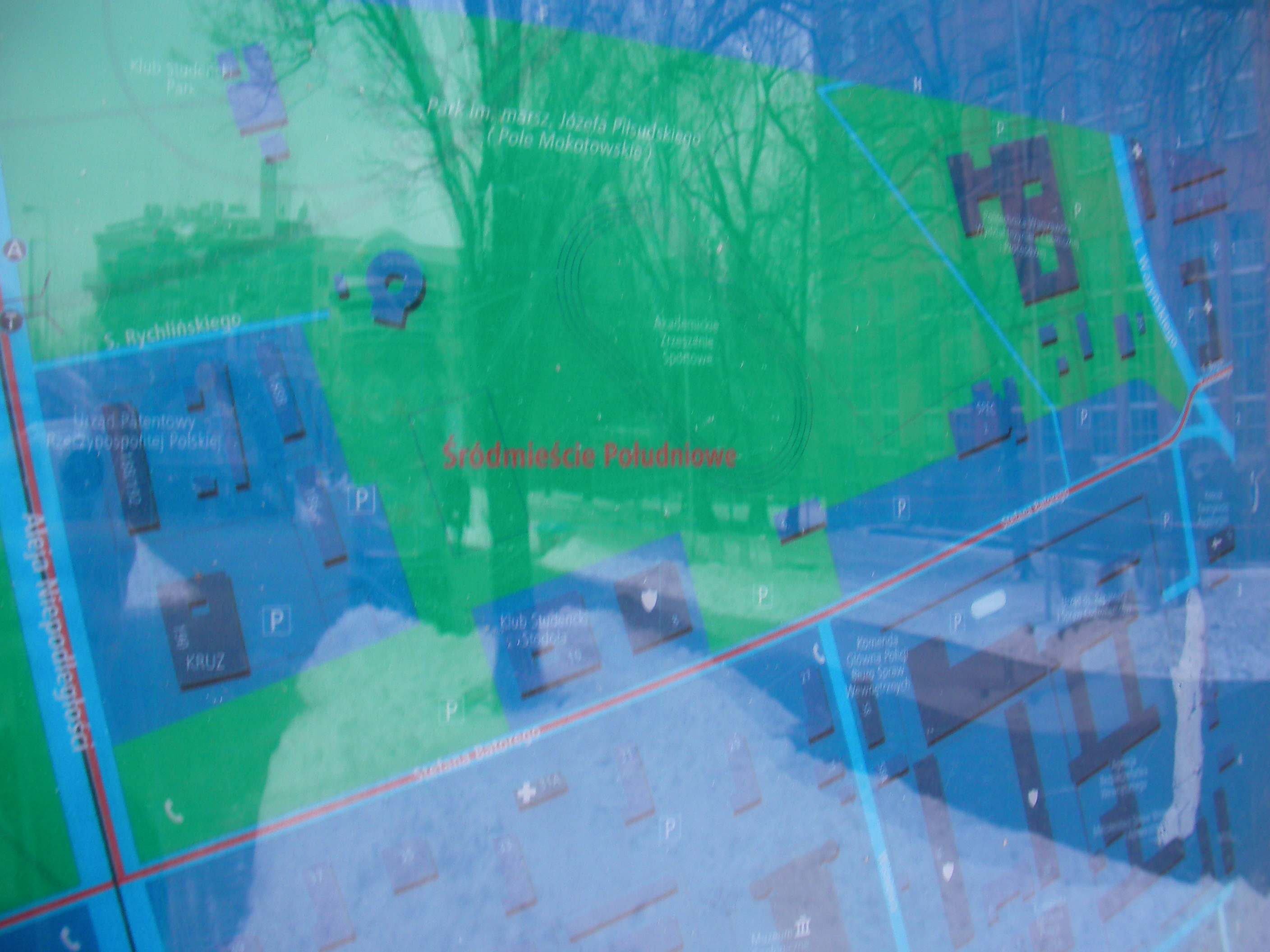
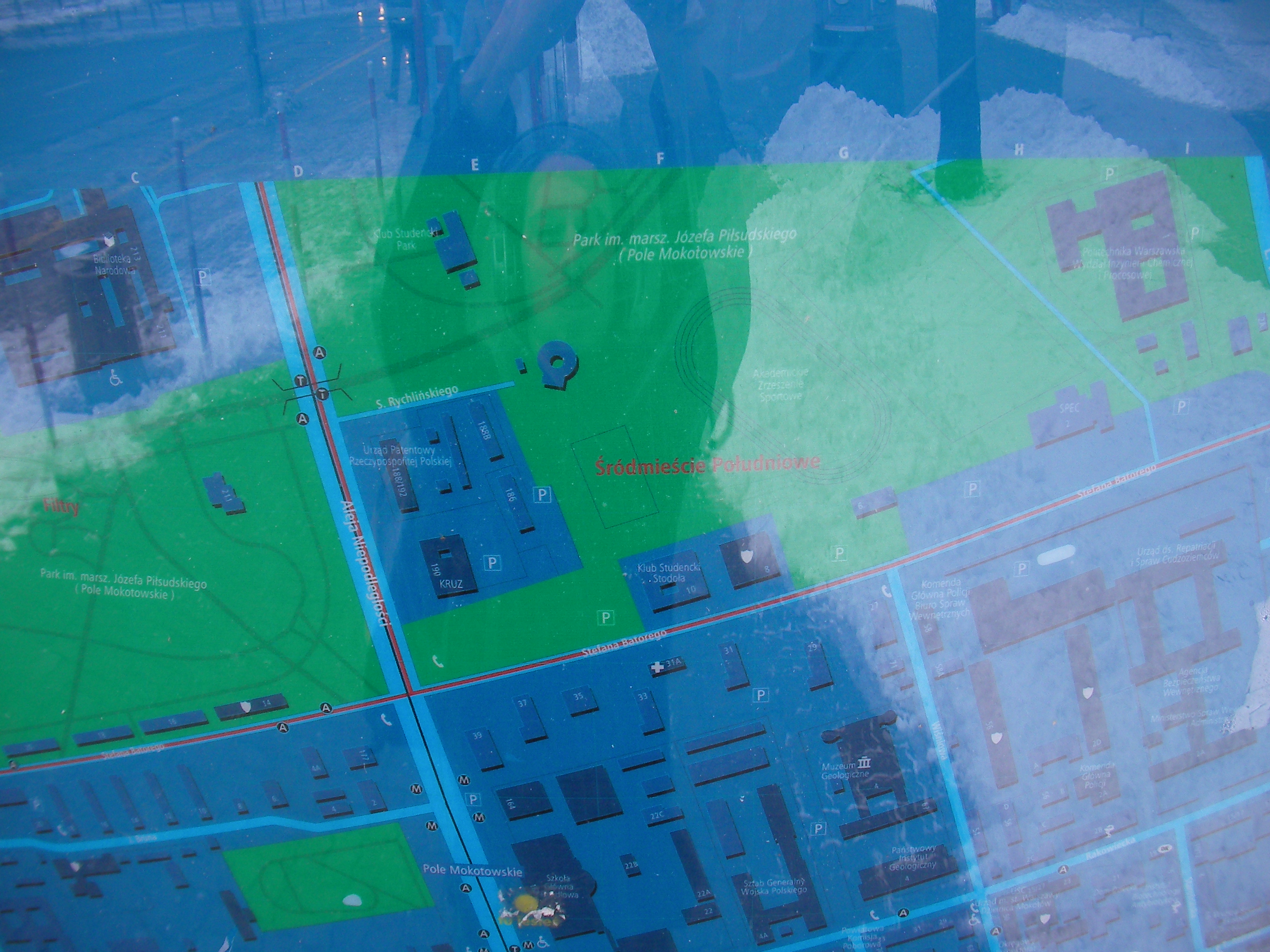
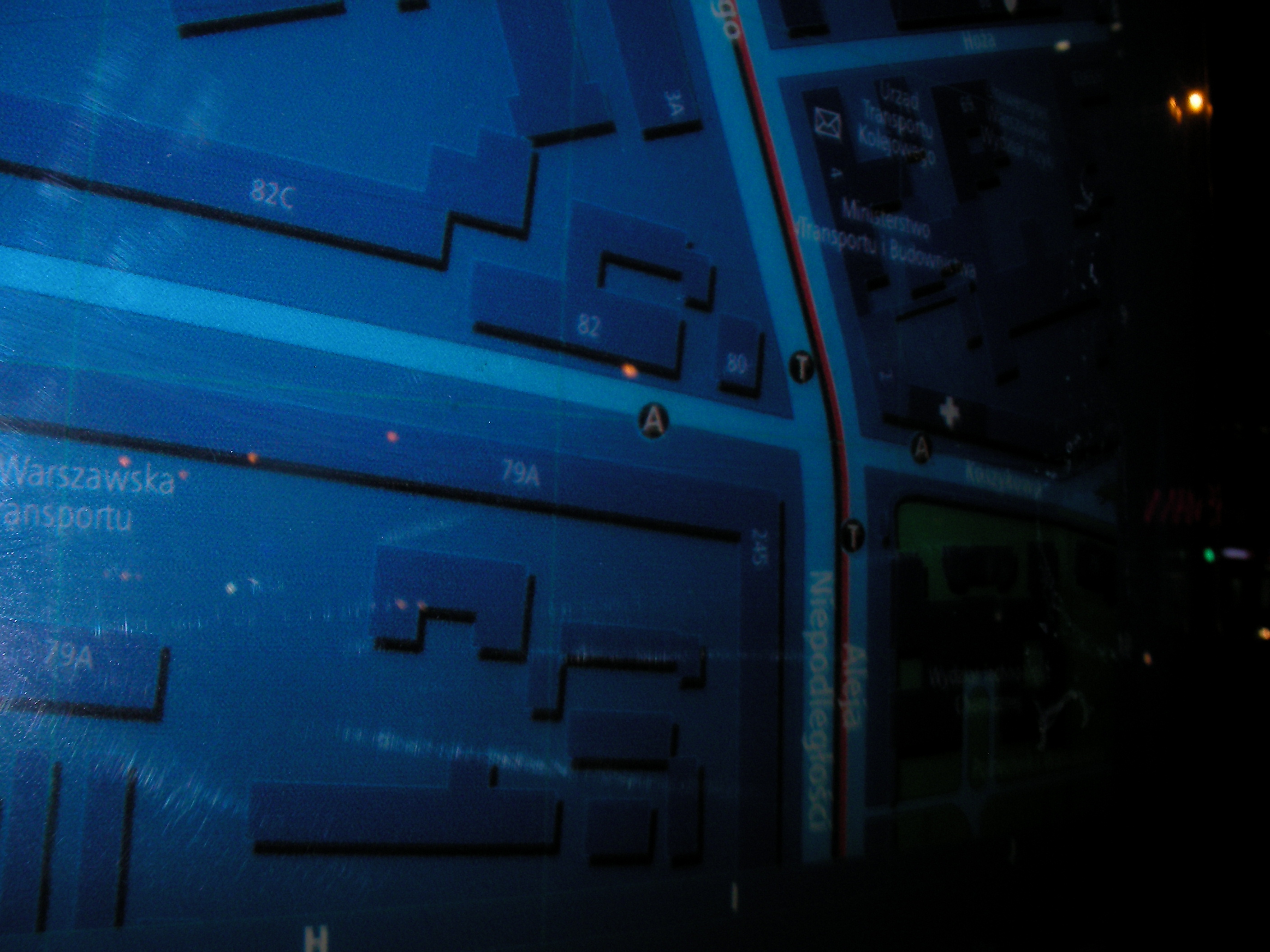
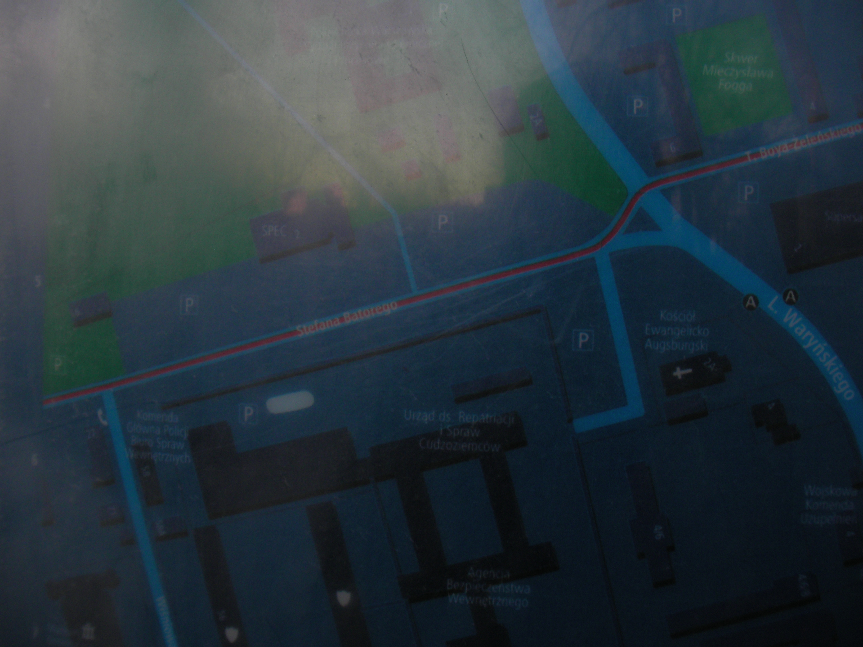
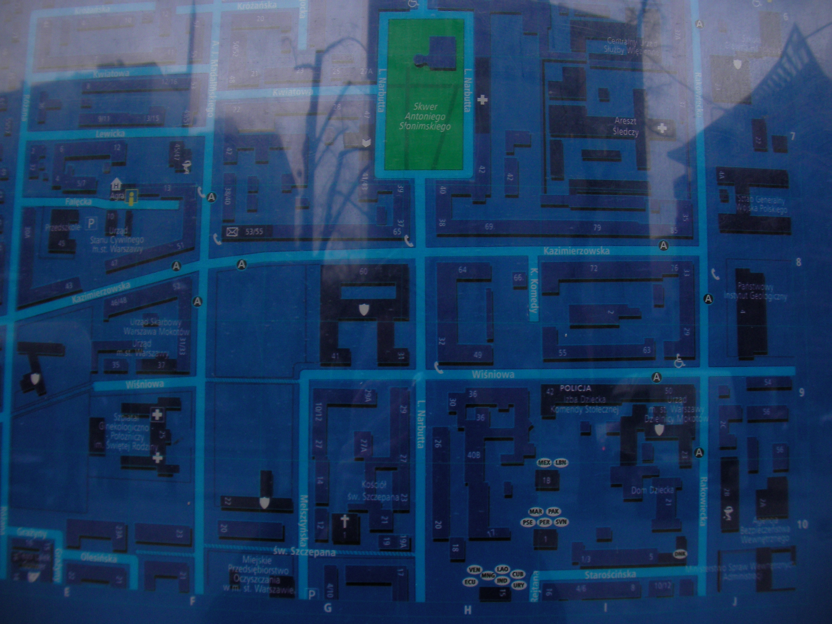
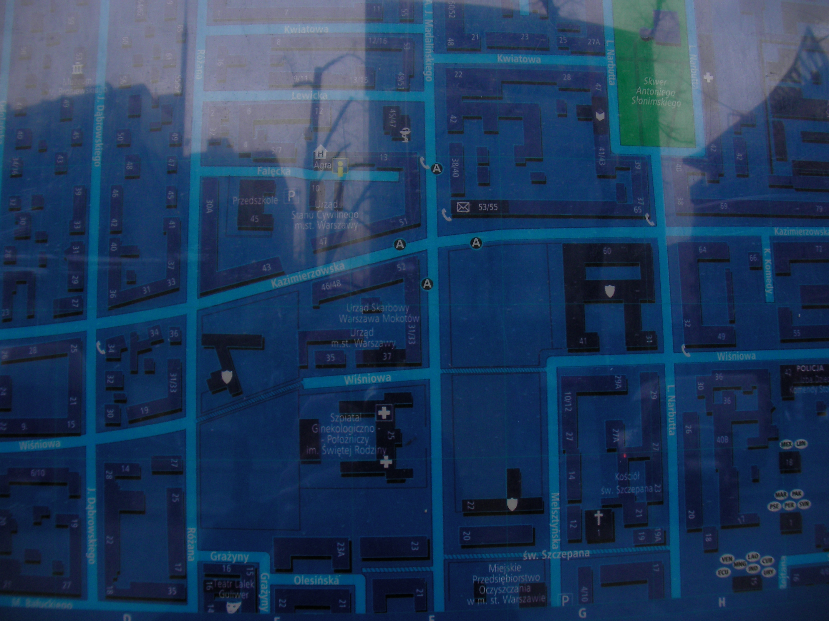
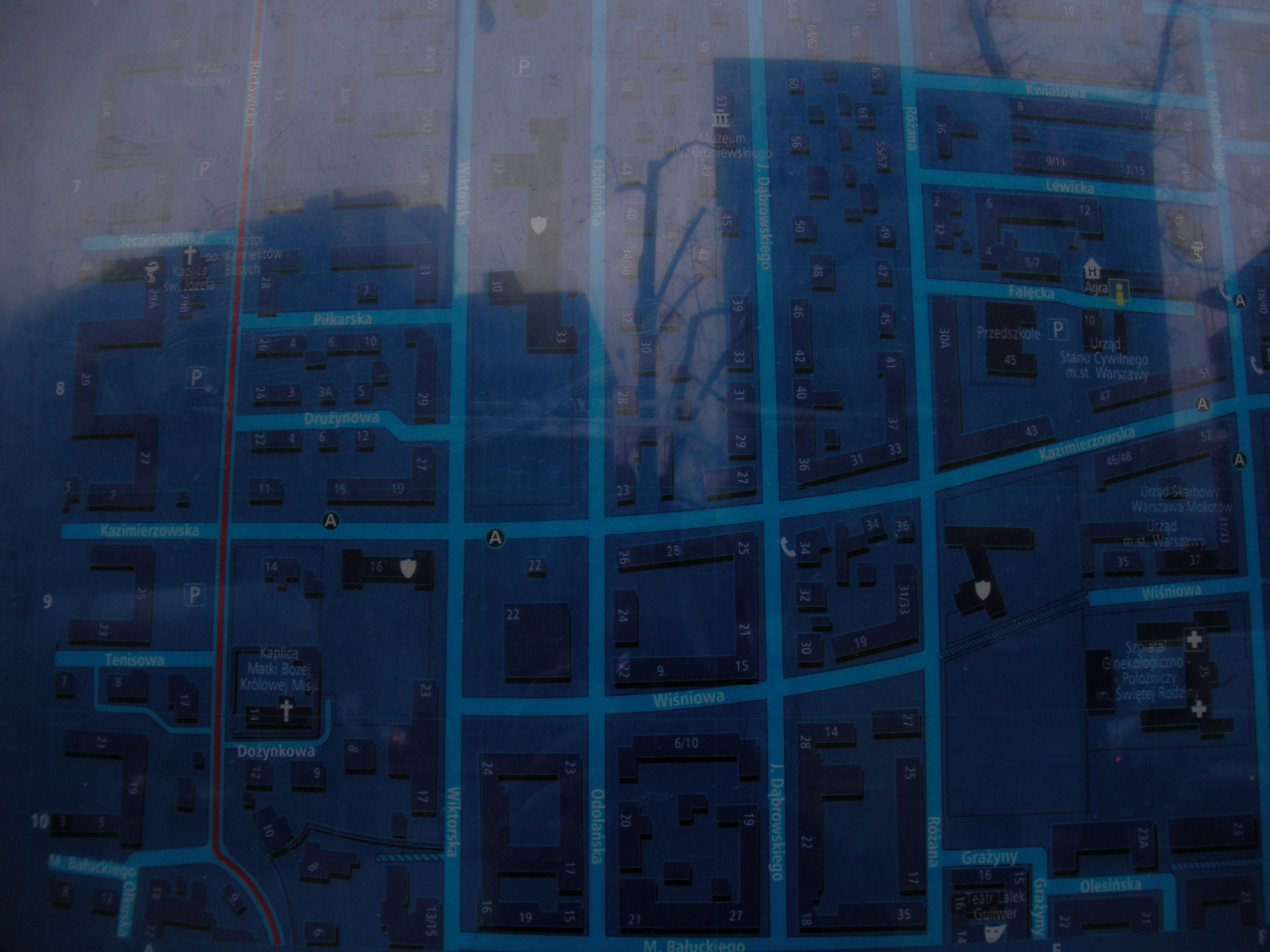
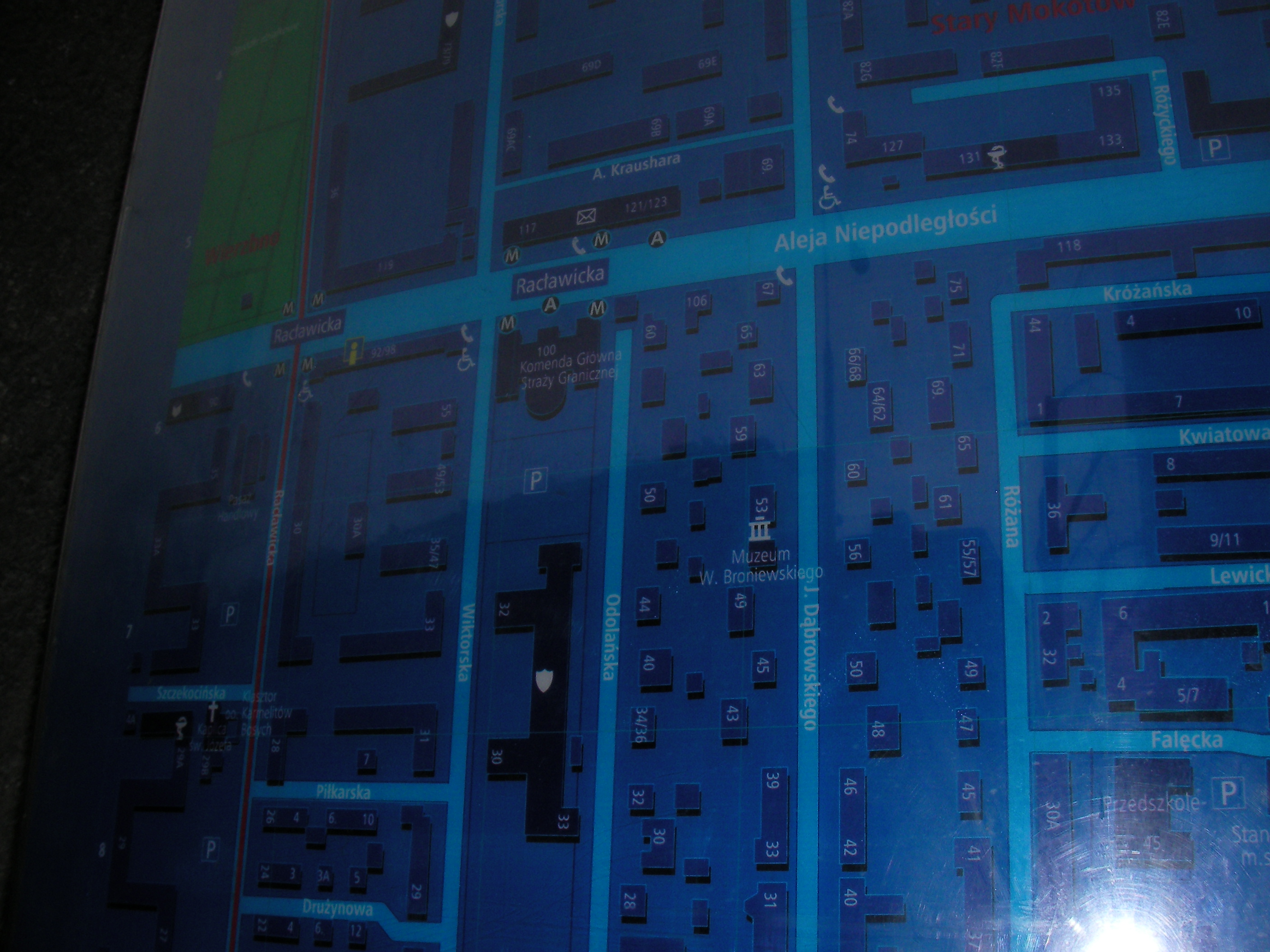
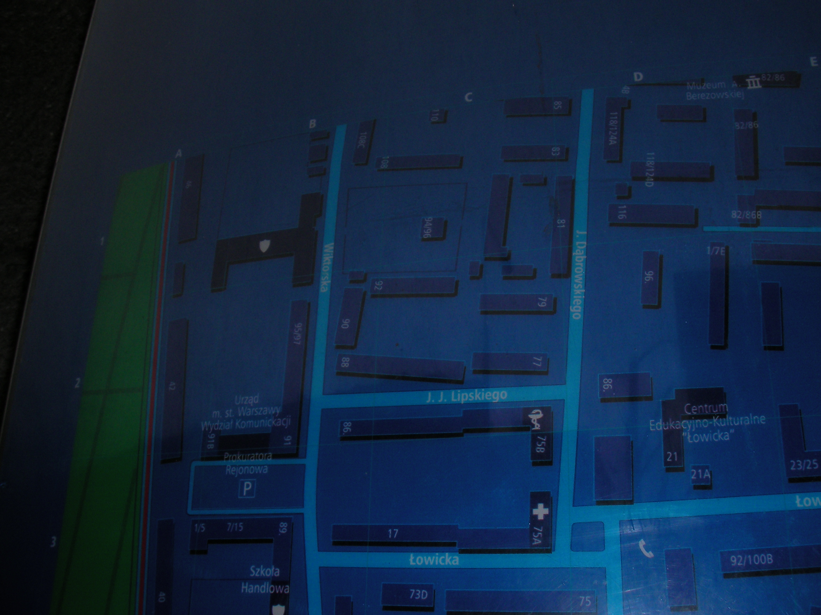
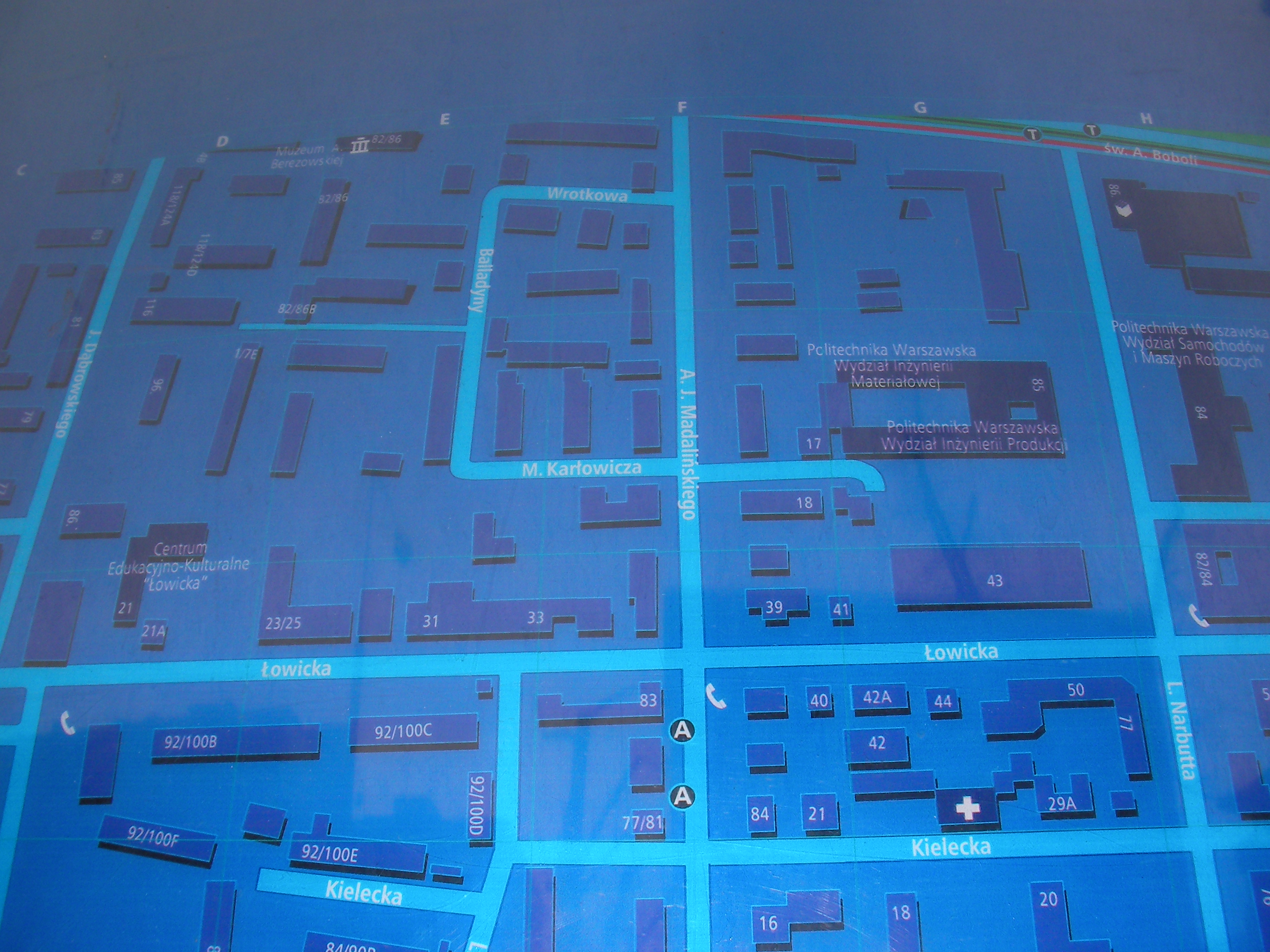
Aleja Niepodległości
On a wall of a school building near Madalińskiego. Approximate location.
- Bottom-right, Bottom, Bottom-left, Left, Left, Top-left, Top, Middle, Bottom-right, Top-right, Bottom-left.
Metro Racławicka
Racławicka subway station south exit (Aleja Niepodległości). Approximate location.
Warszawa Centralna
East entrance to the Centralna station. Approximate location.
- Poor quality night shots. Bottom-right, Bottom, Bottom-left, Left, Top-left, Top, Top-right, Top-left.
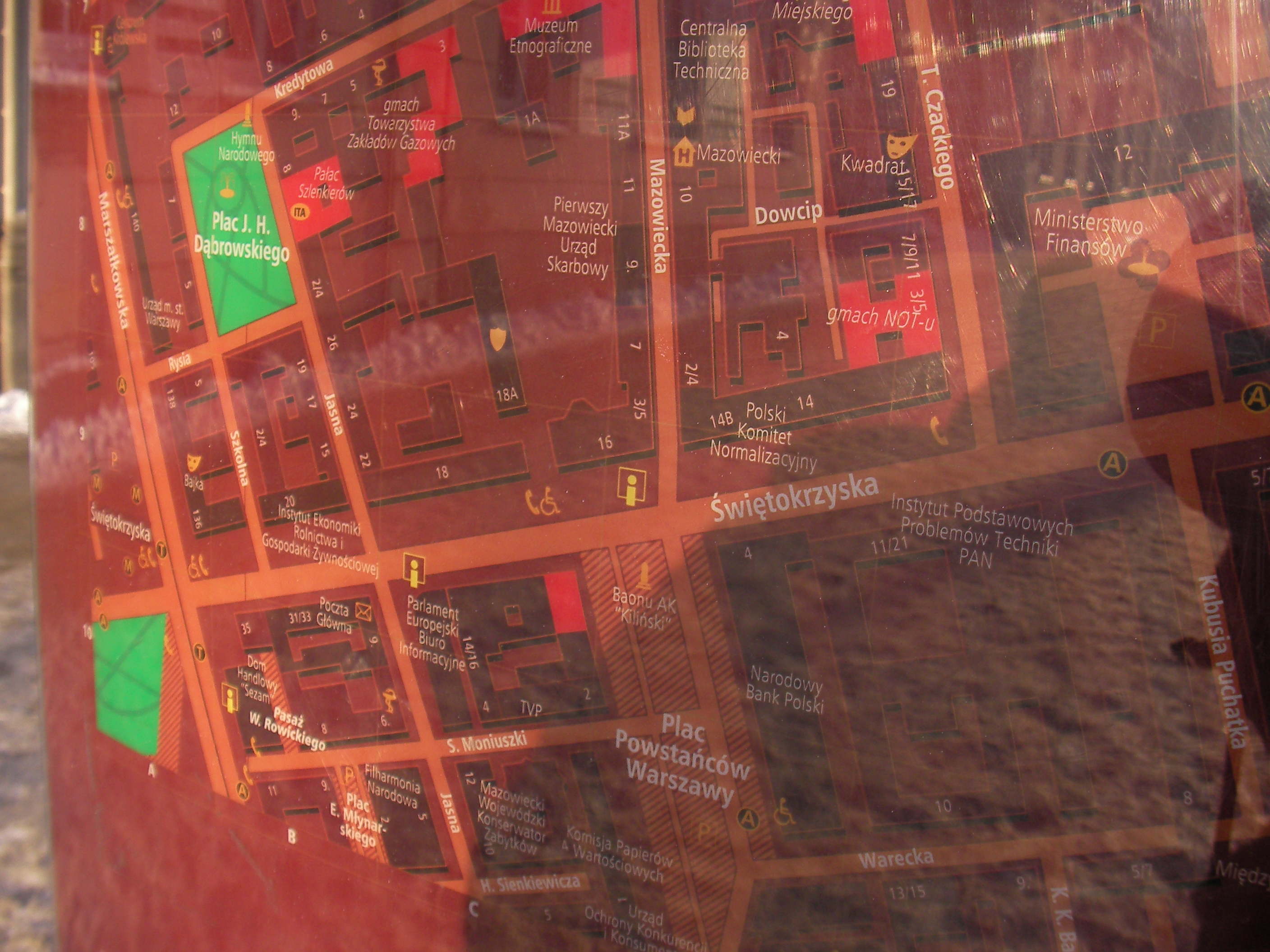
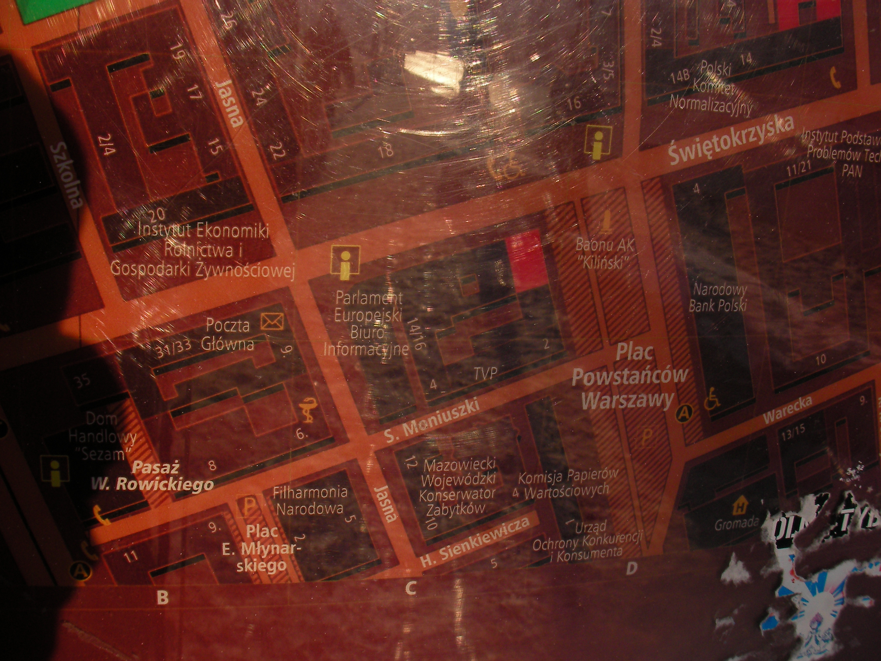
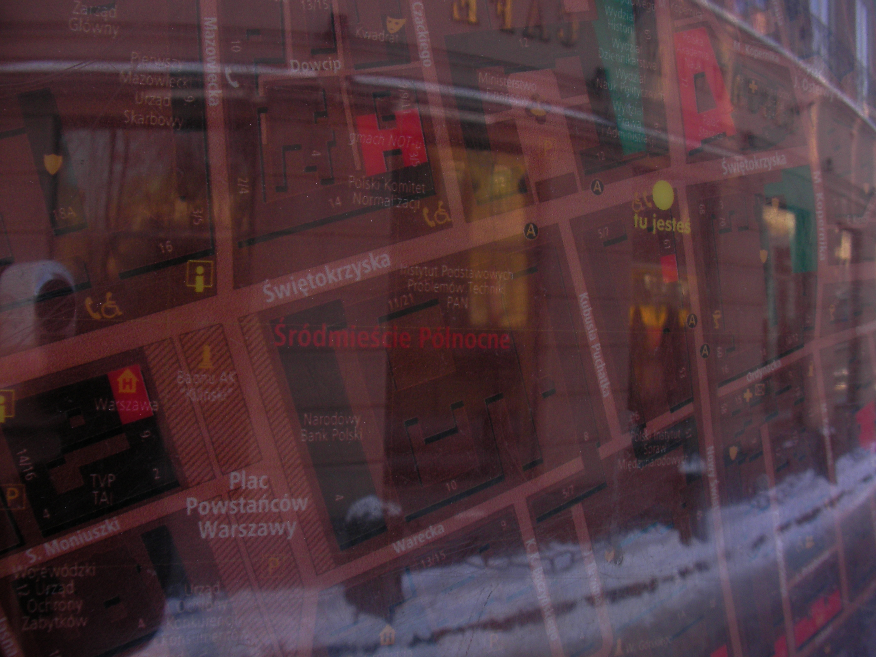
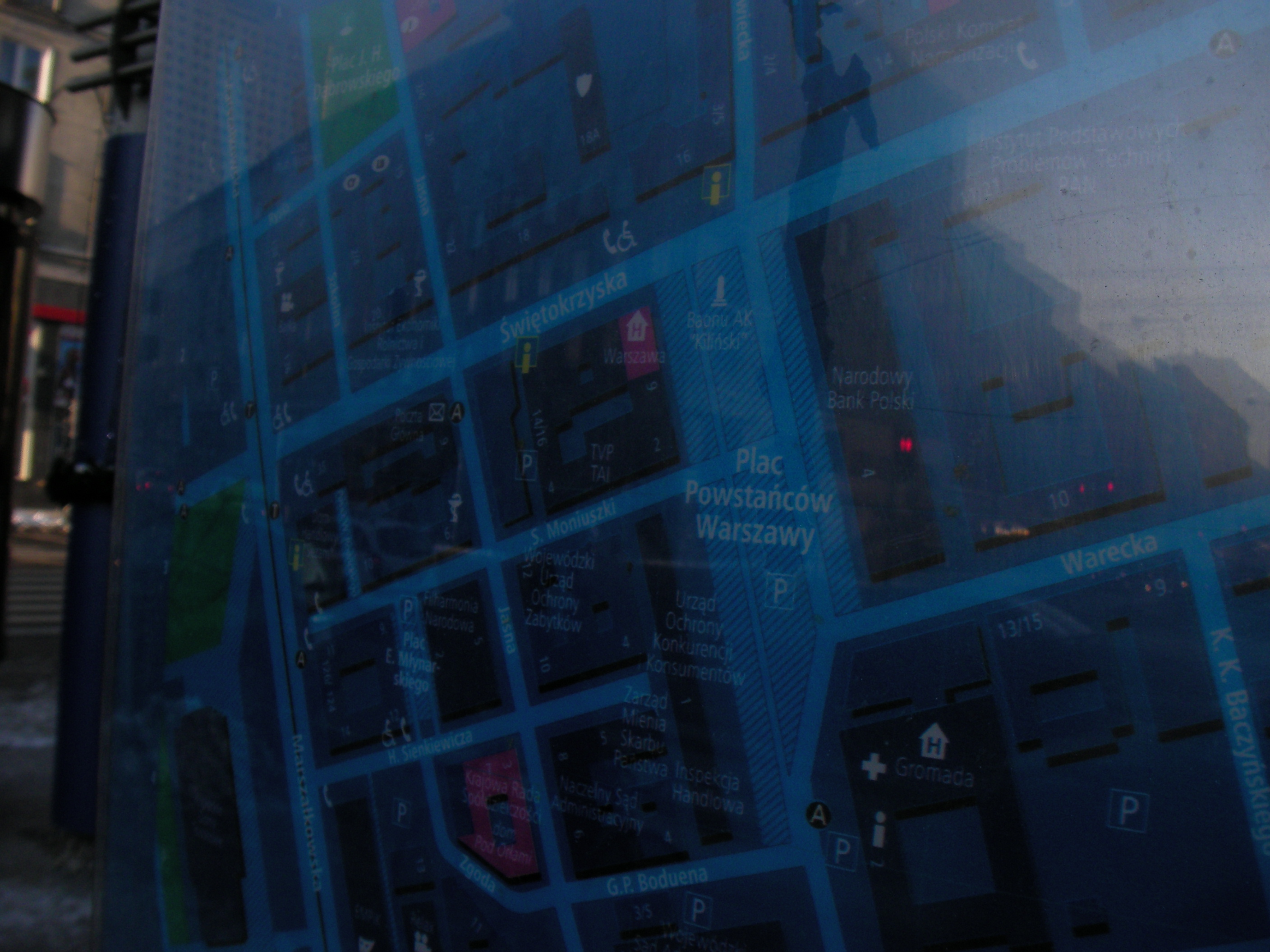
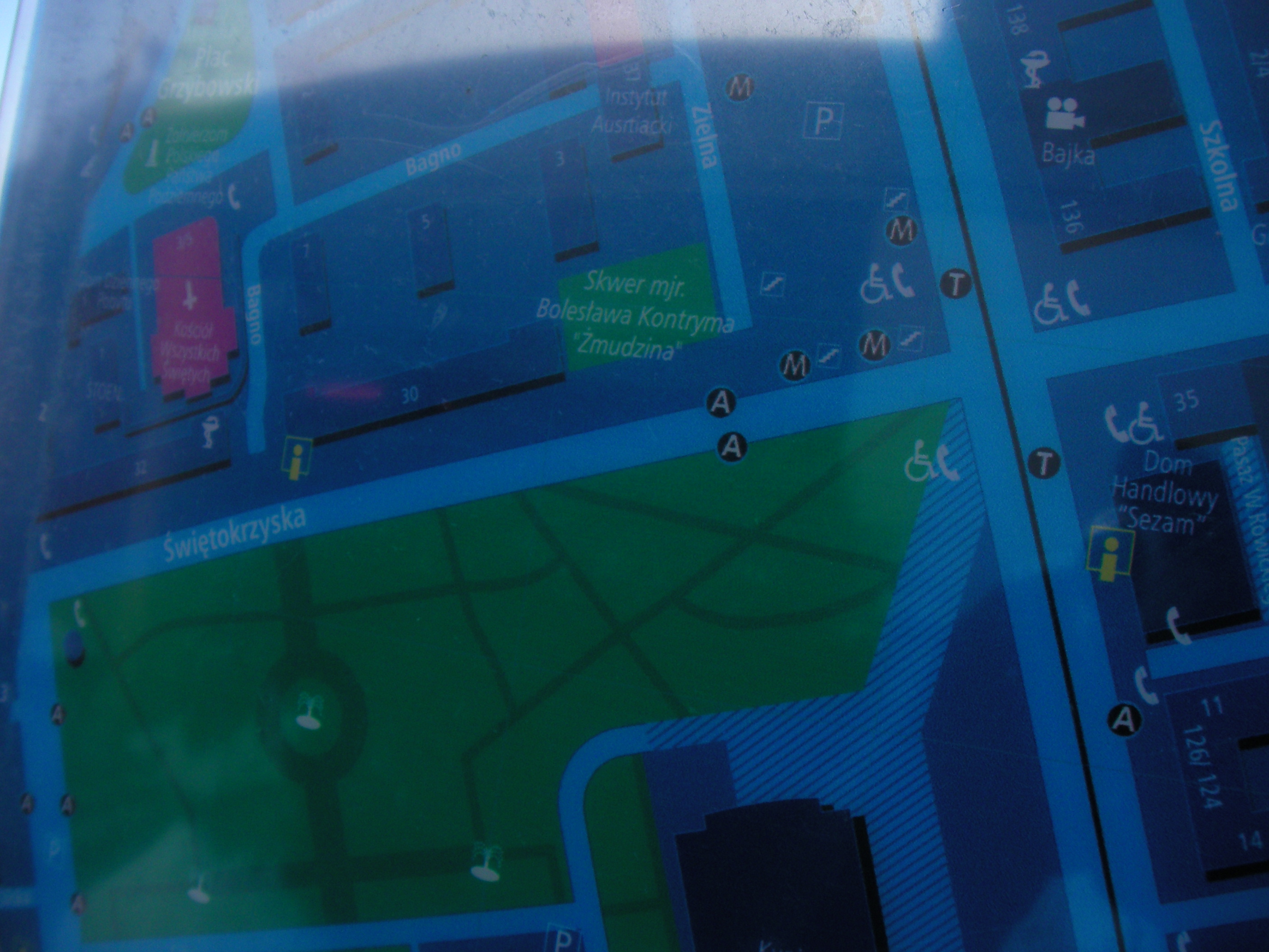
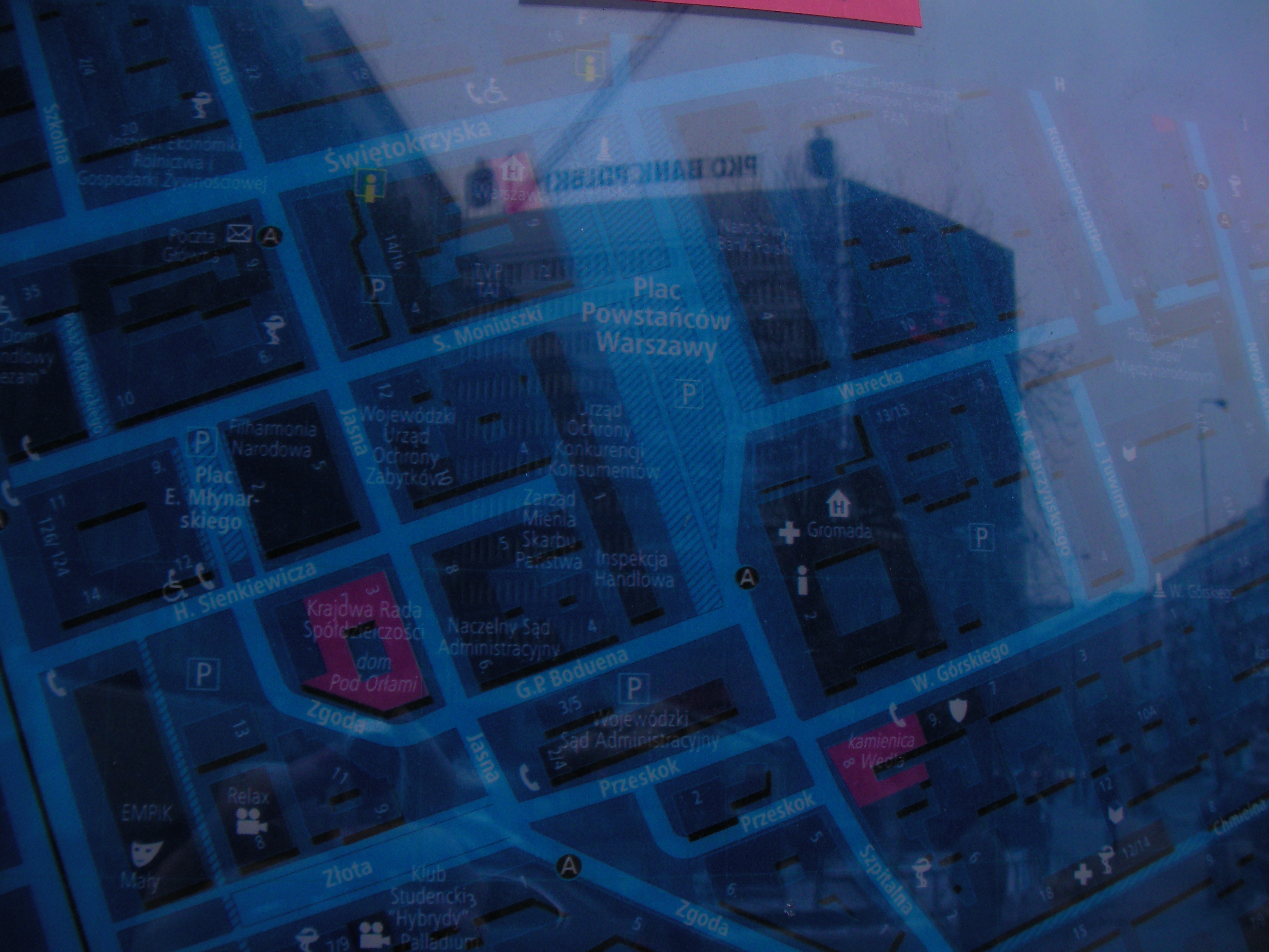
Świętokrzyska
Where Świętokrzyska meets Mazowiecka and Powstańców Warszawy square. Approximate location.
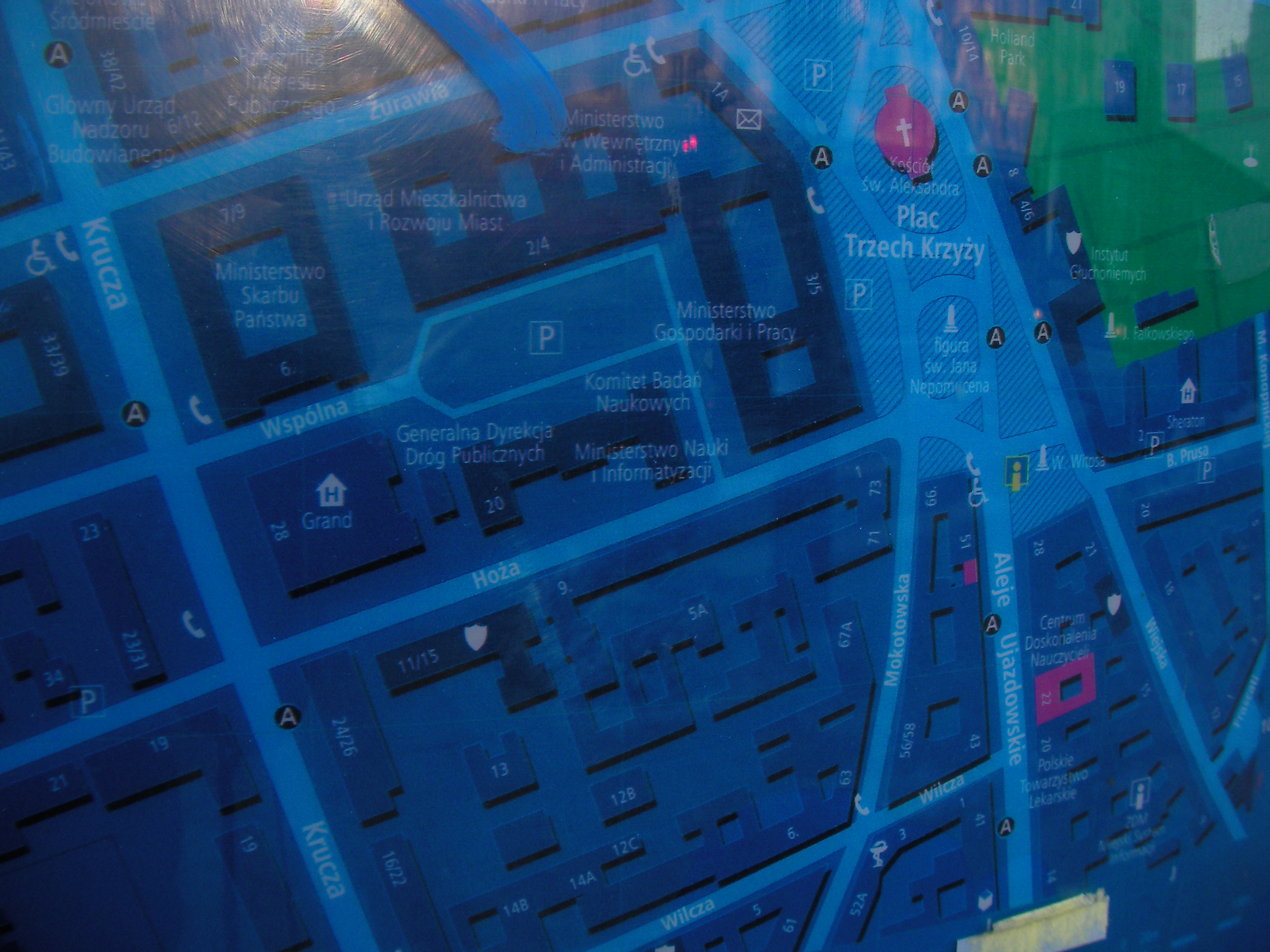
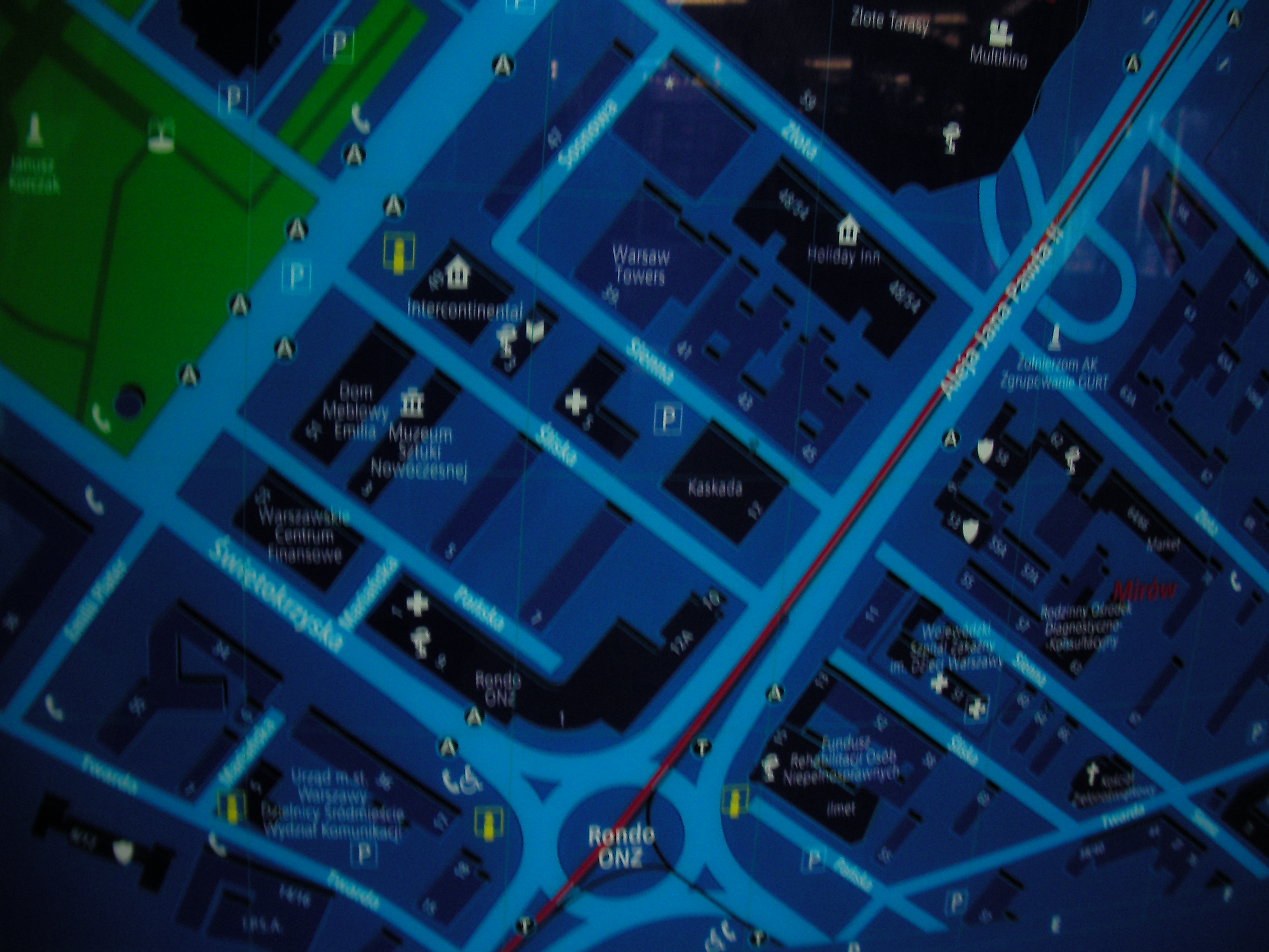
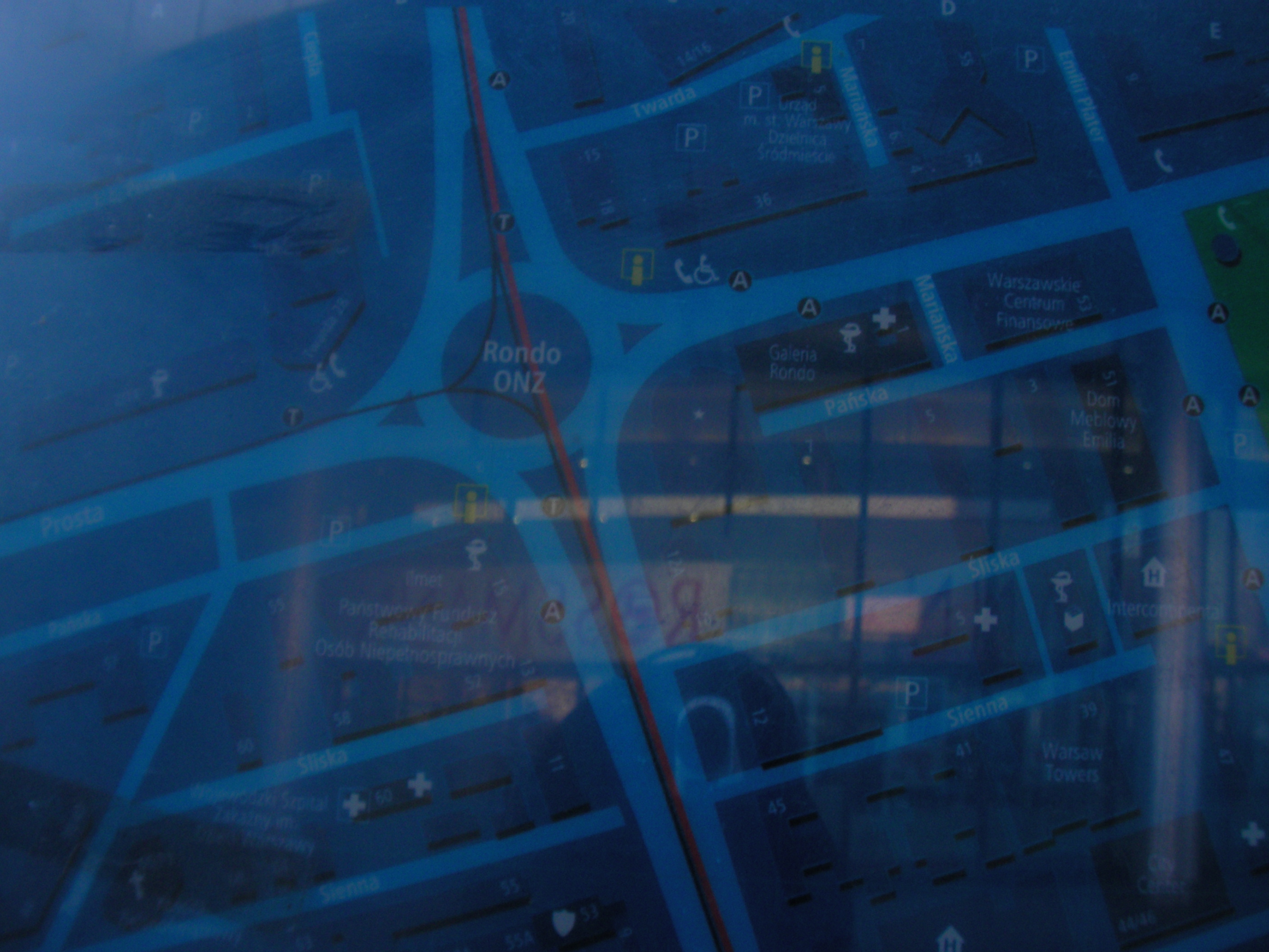
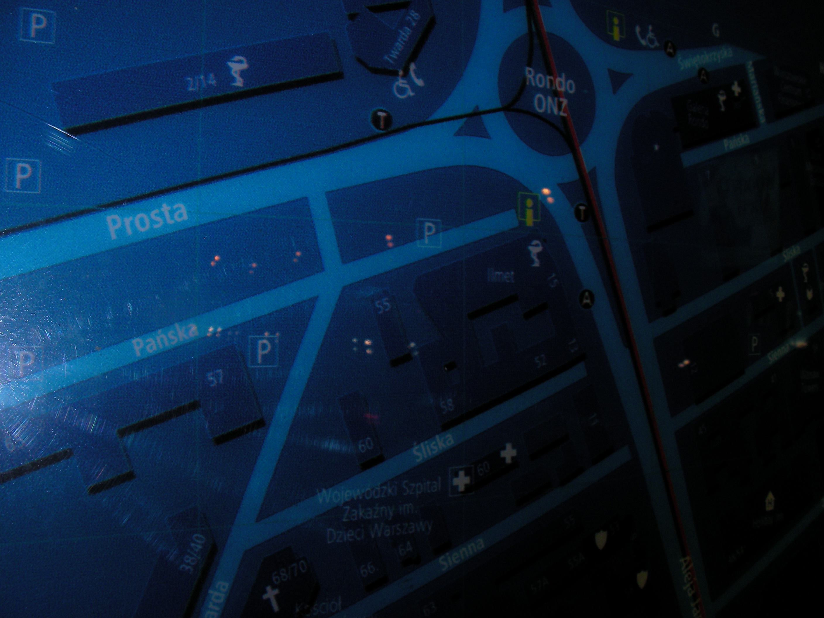
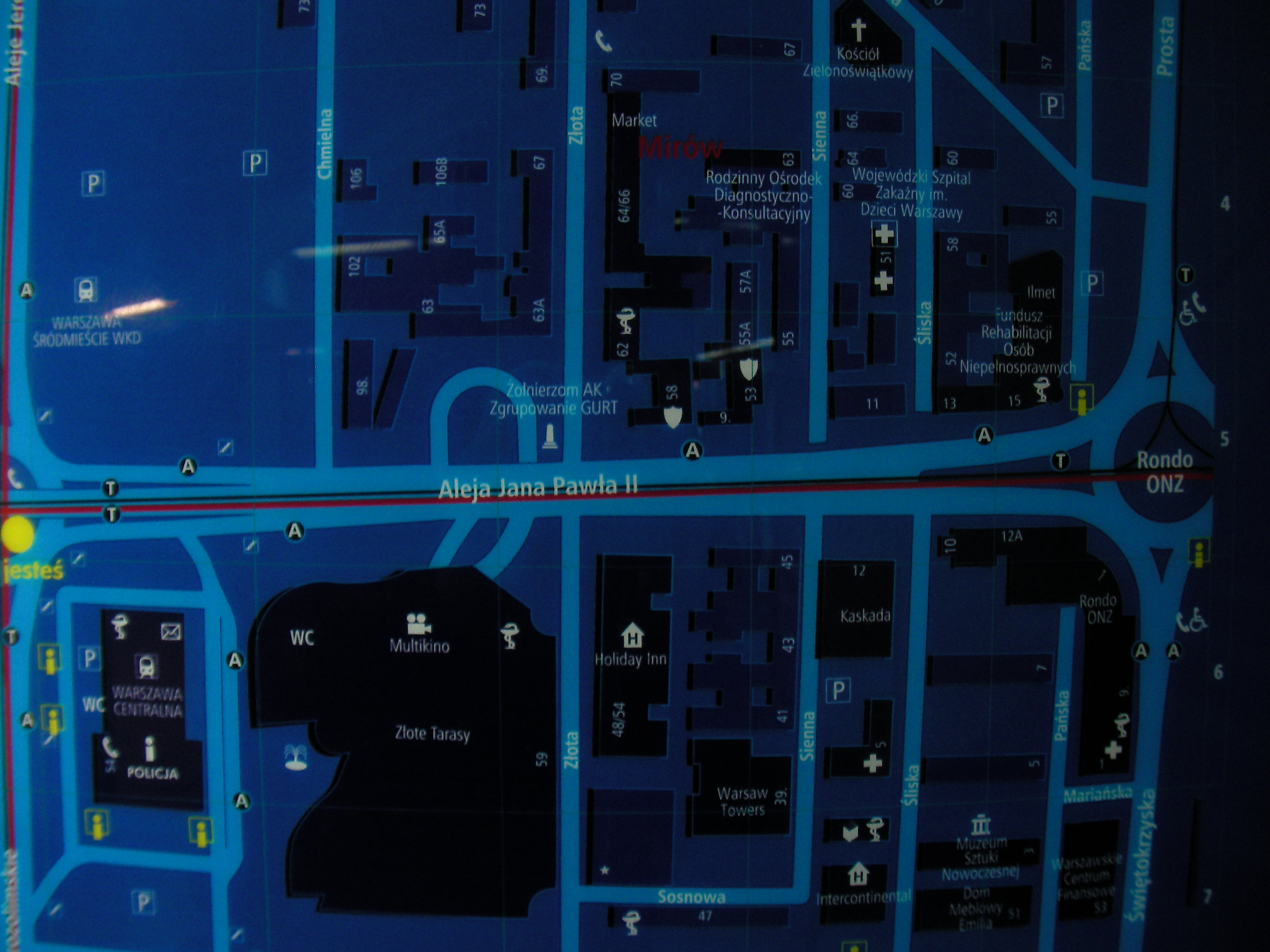
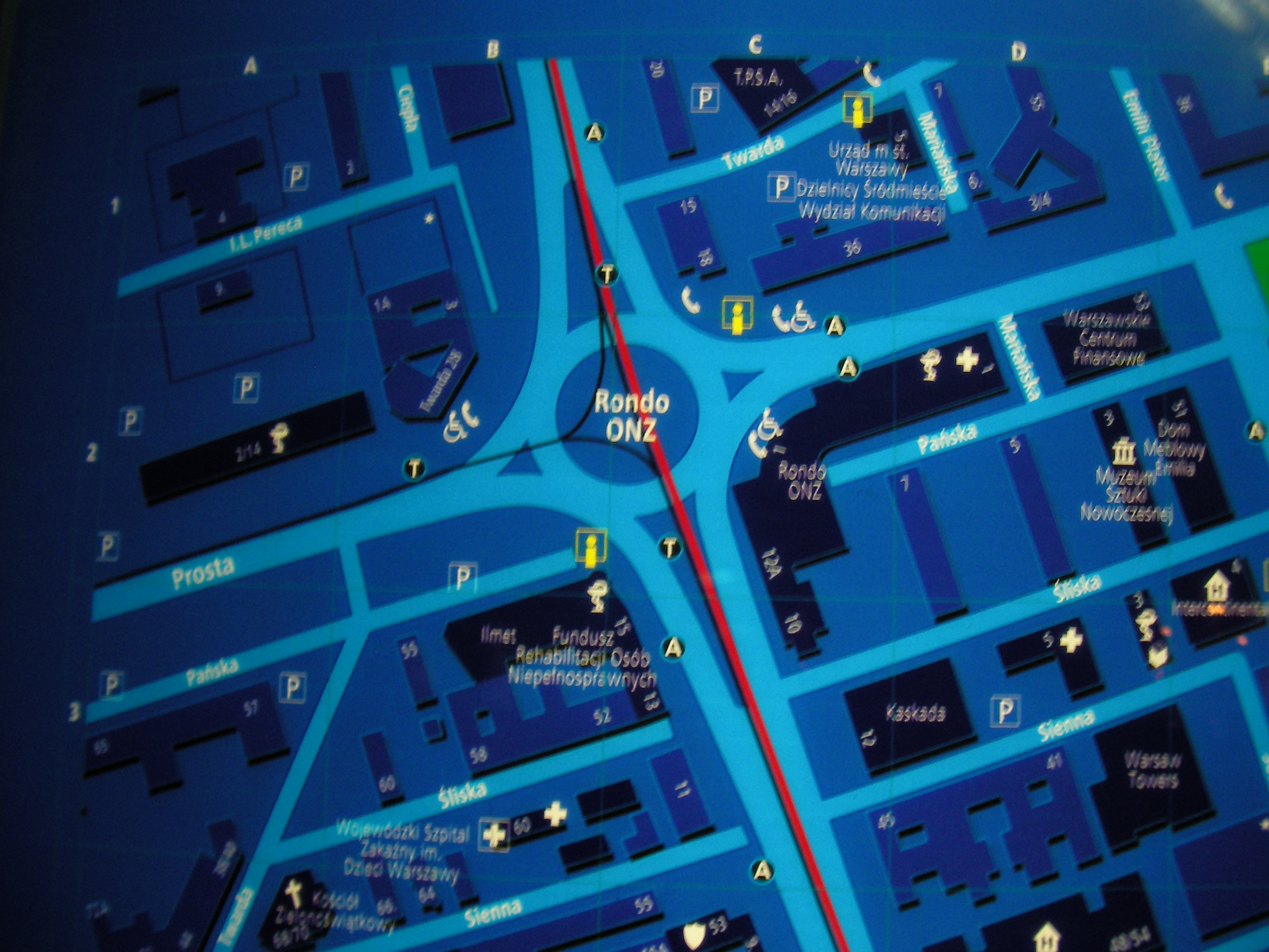
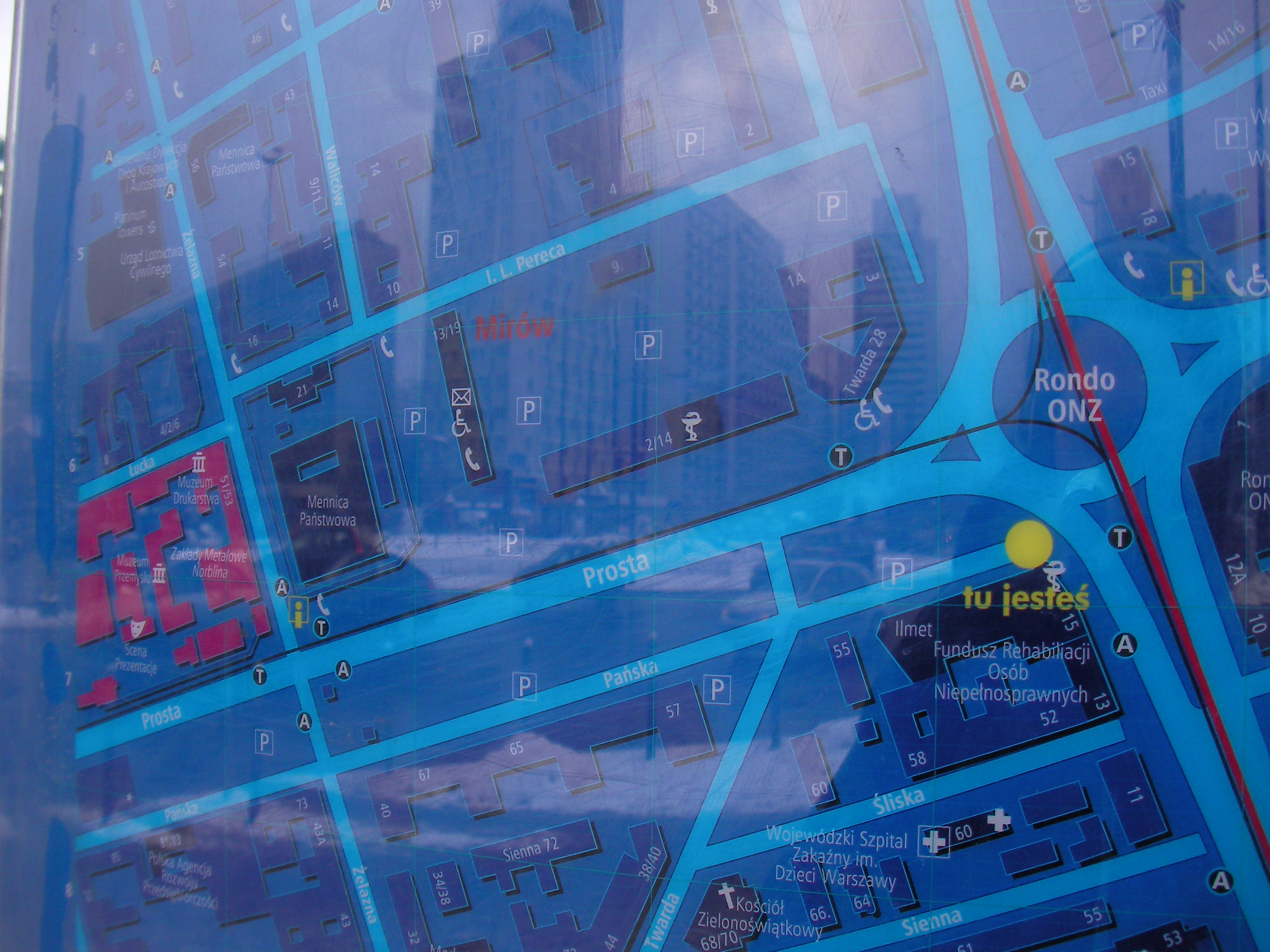
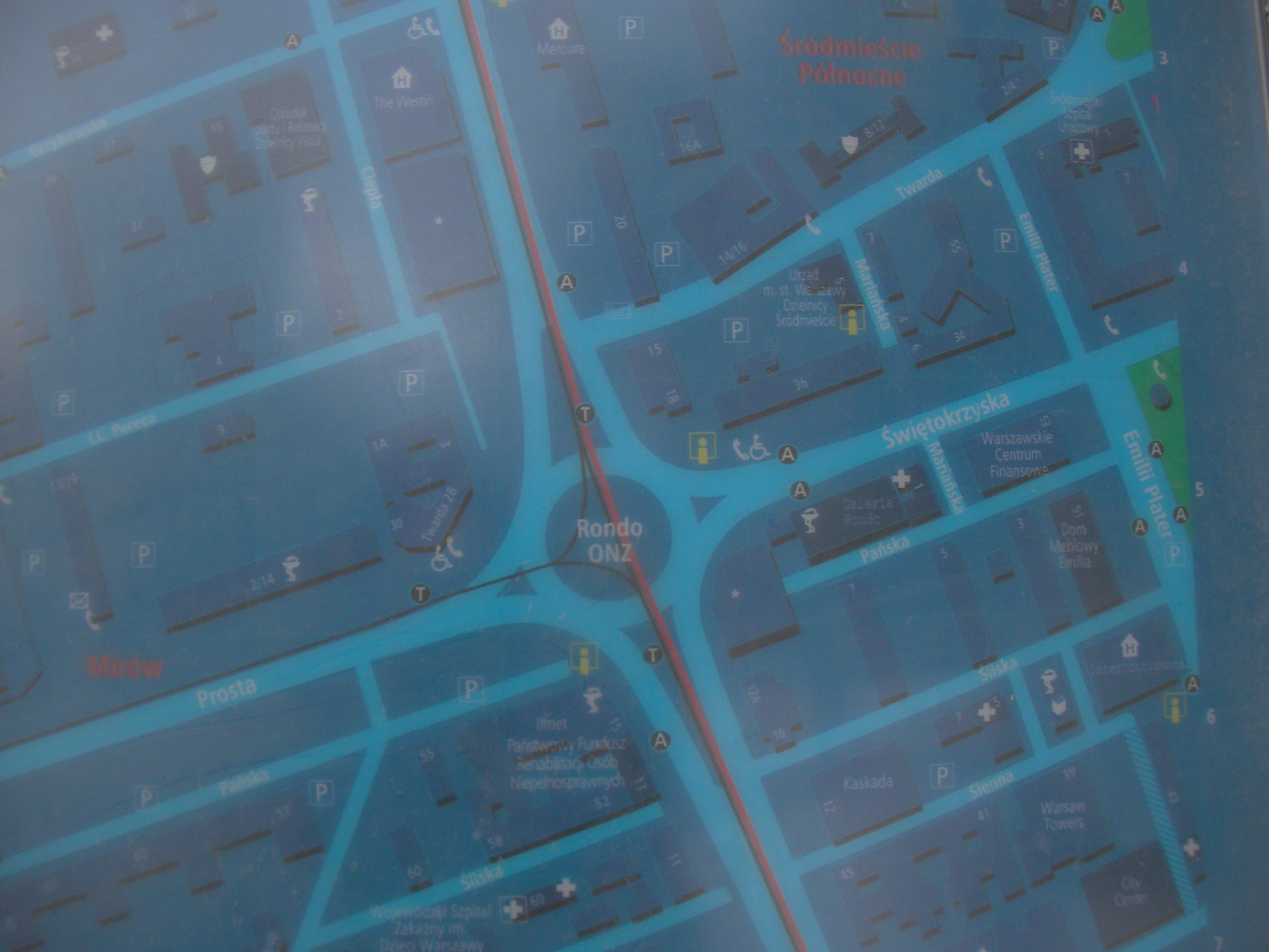
Rondo ONZ
South of Rondo ONZ roundabout. Approximate location.
- Bottom-Left, Left, Top, Top-left, Left, Bottom, Middle, Top, Top-left, Top-right, Top, Middle, Right.
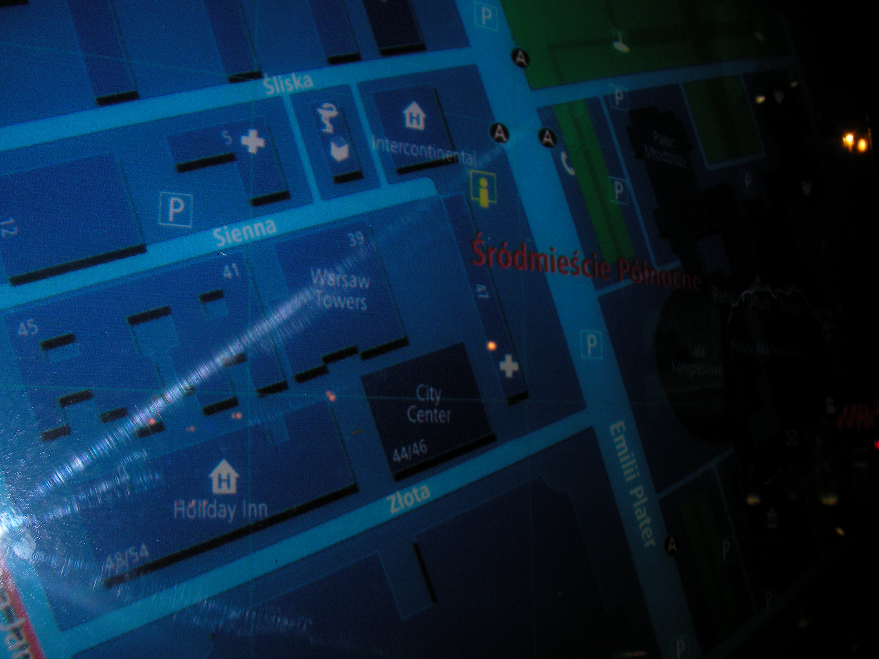
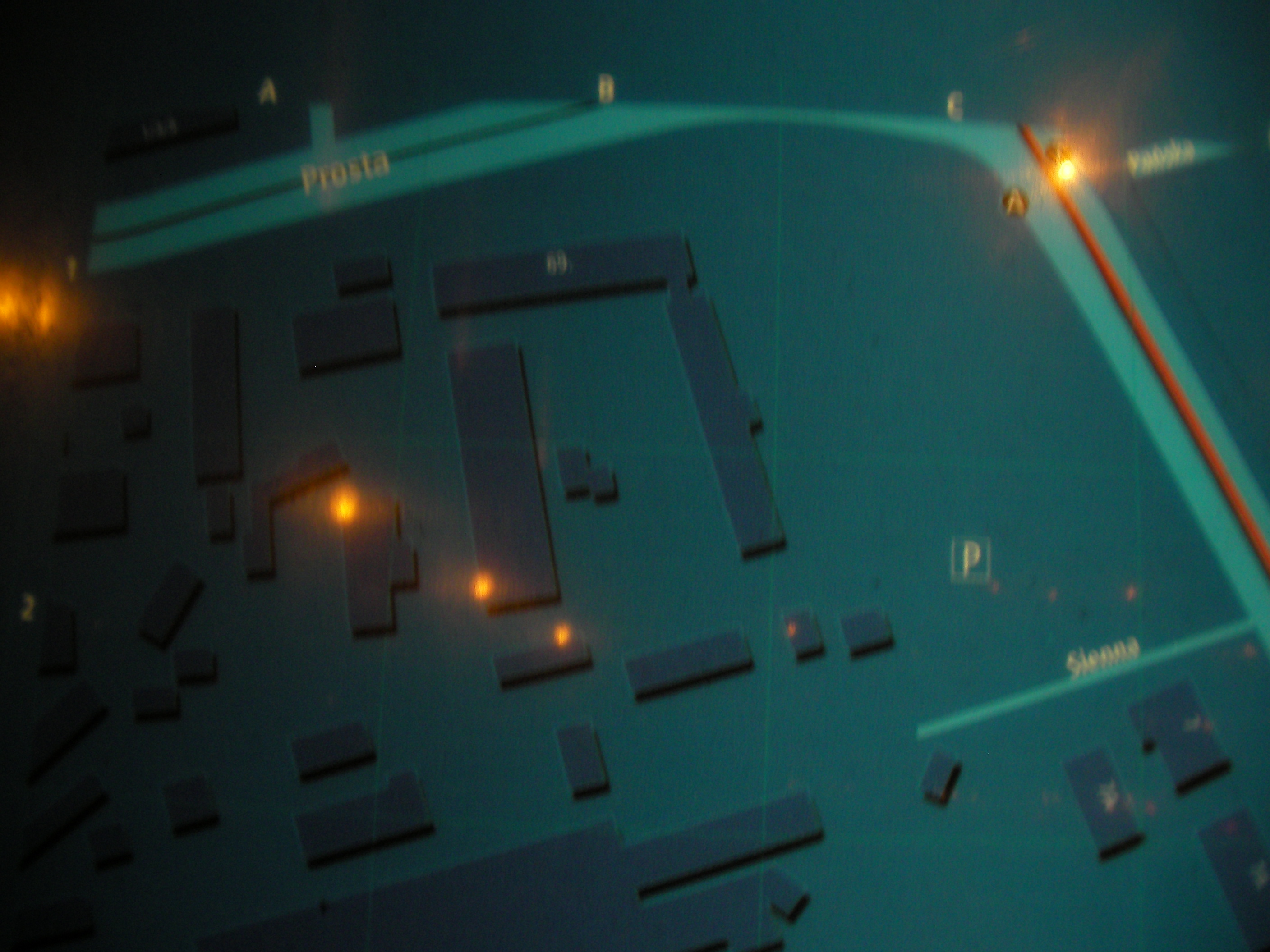
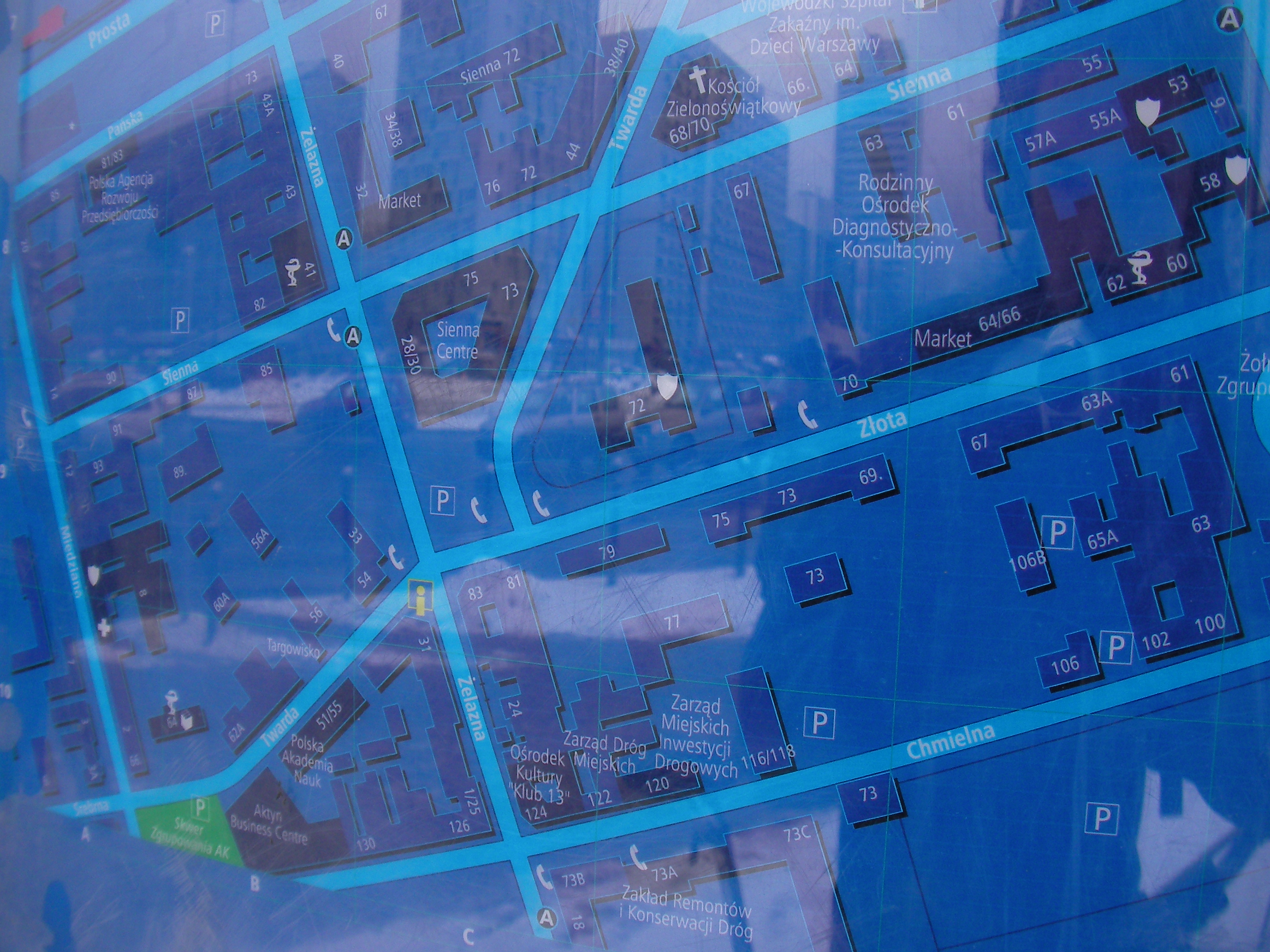
Prosta
Crossing between Prosta and Żelazna, Mennica tram stop. Approximate location.
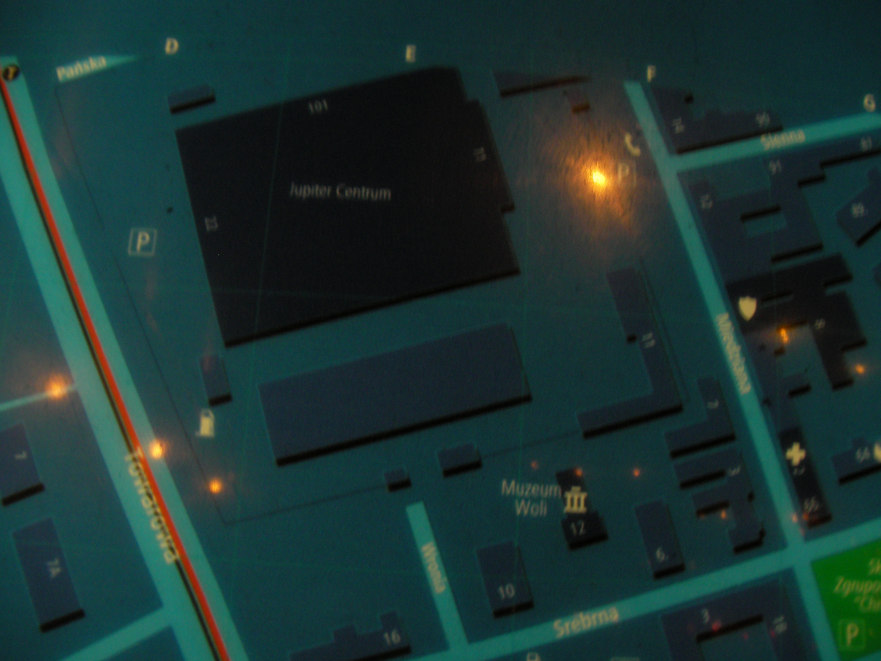
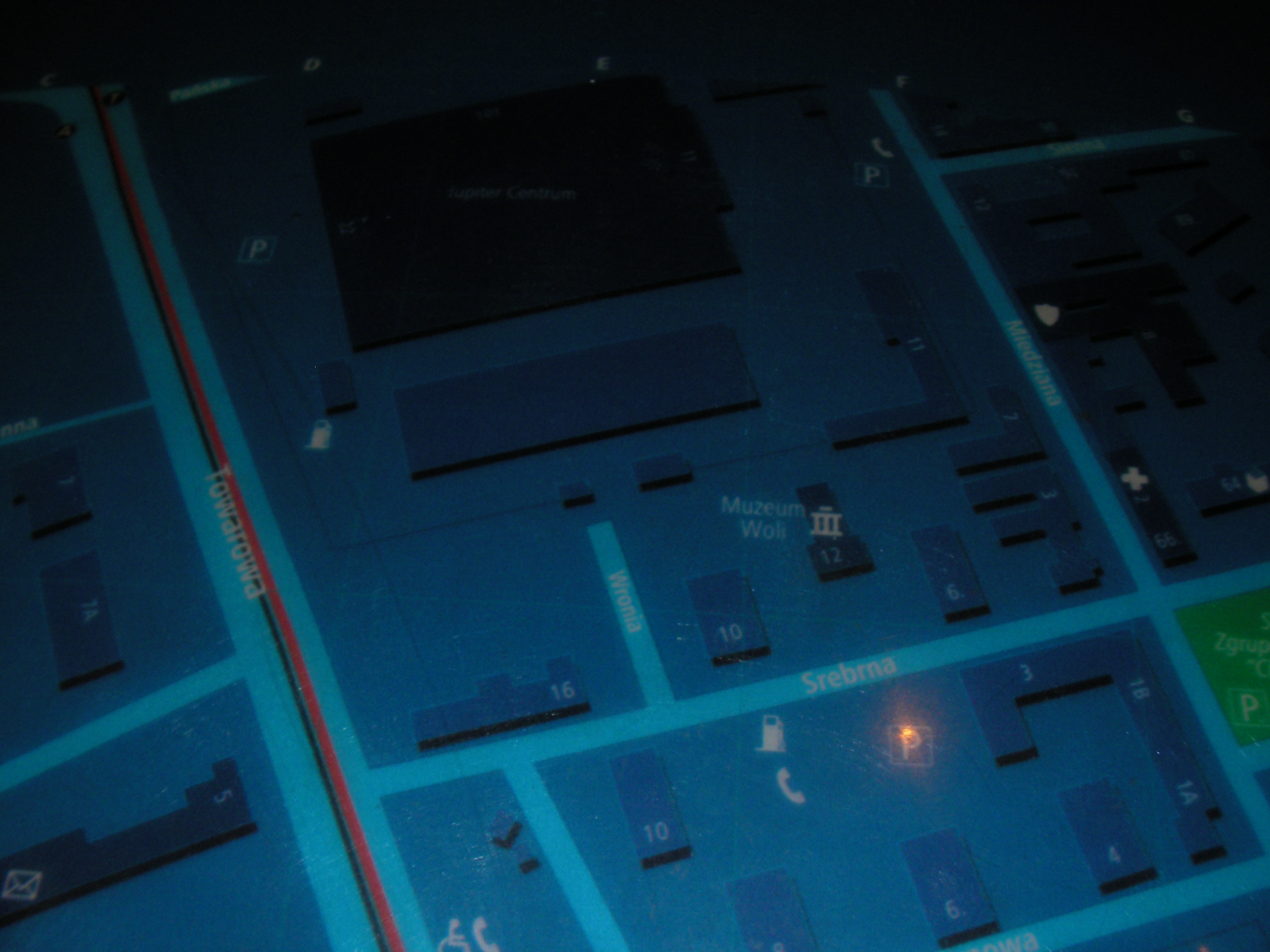
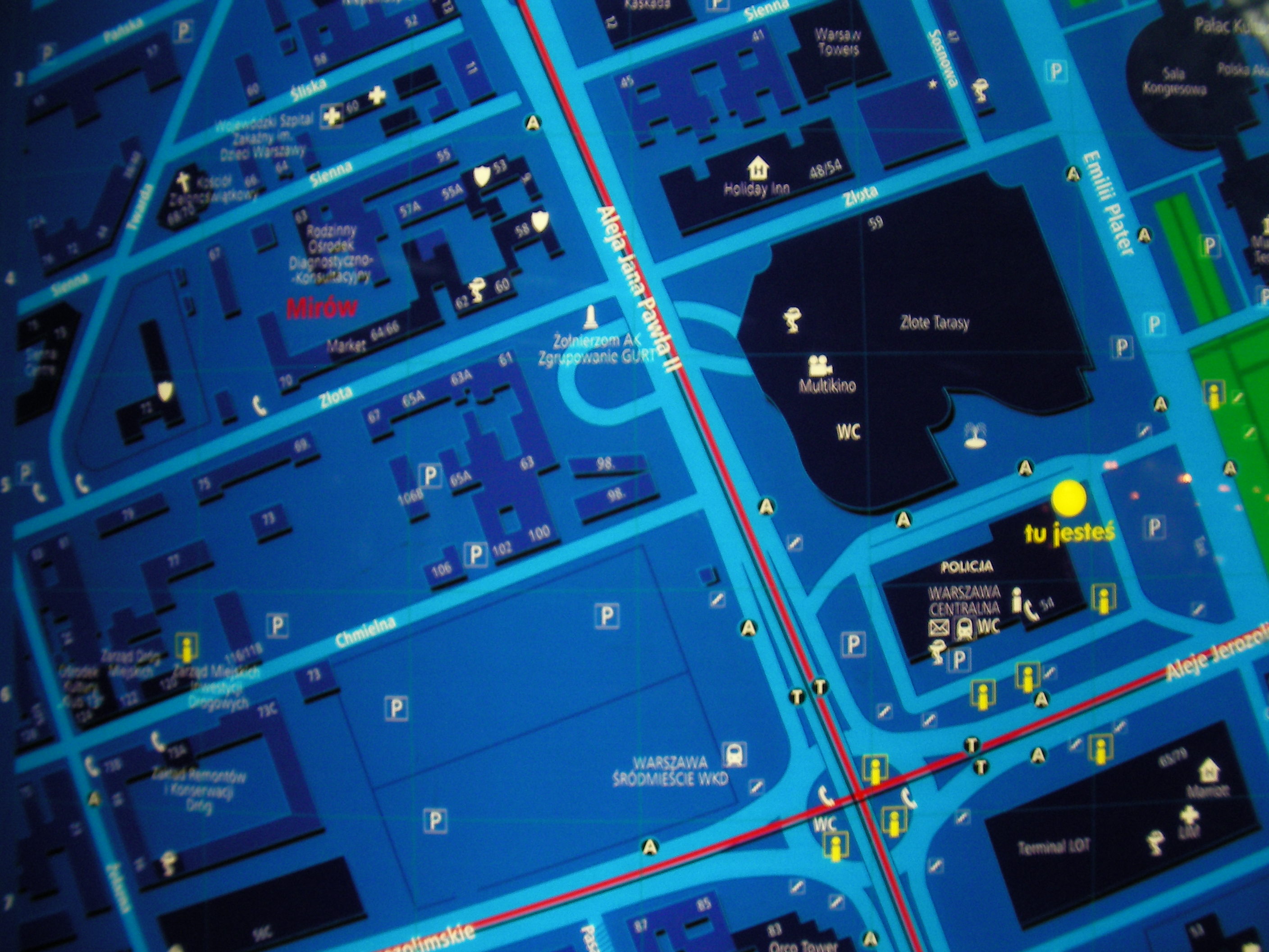
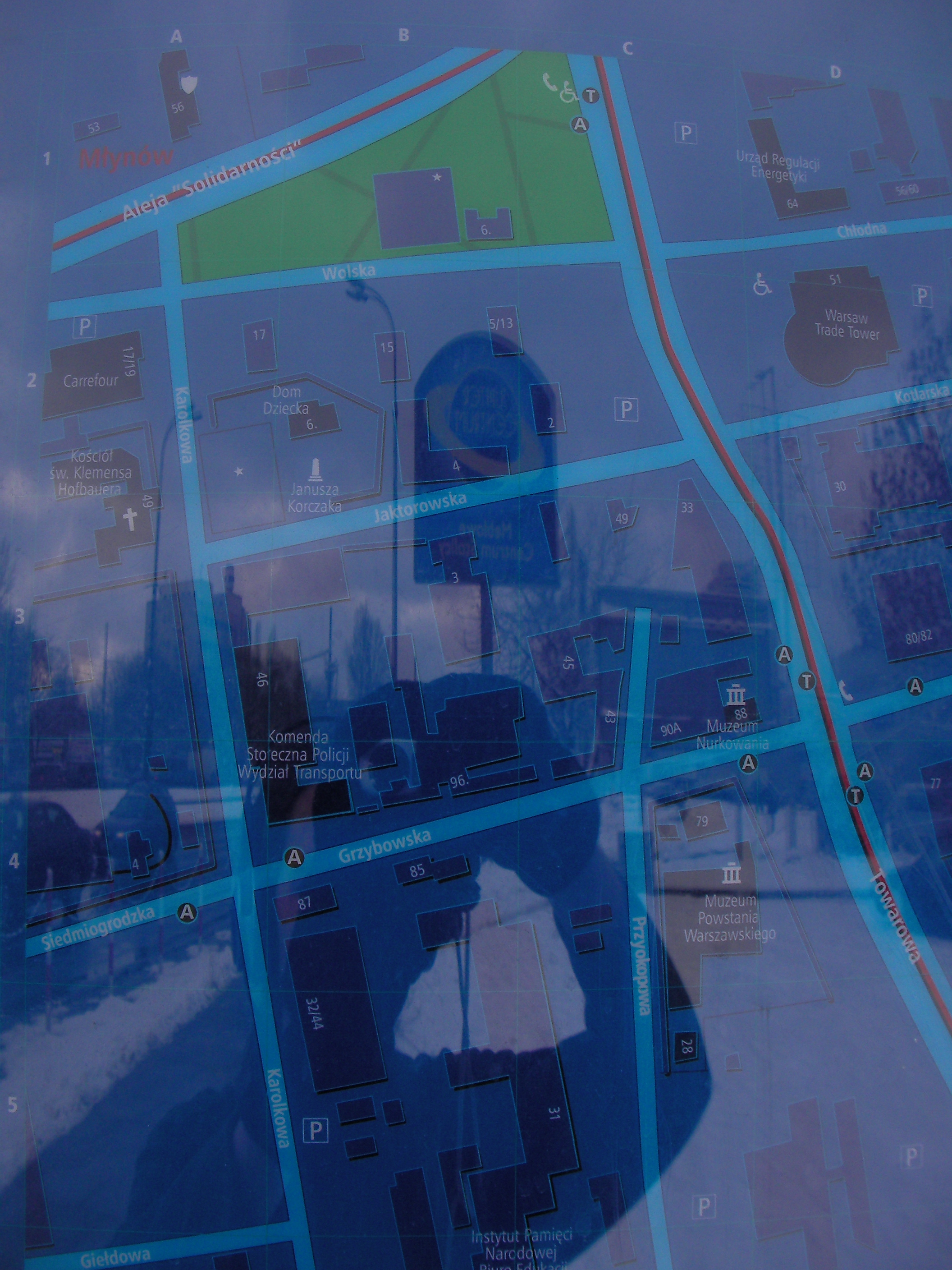
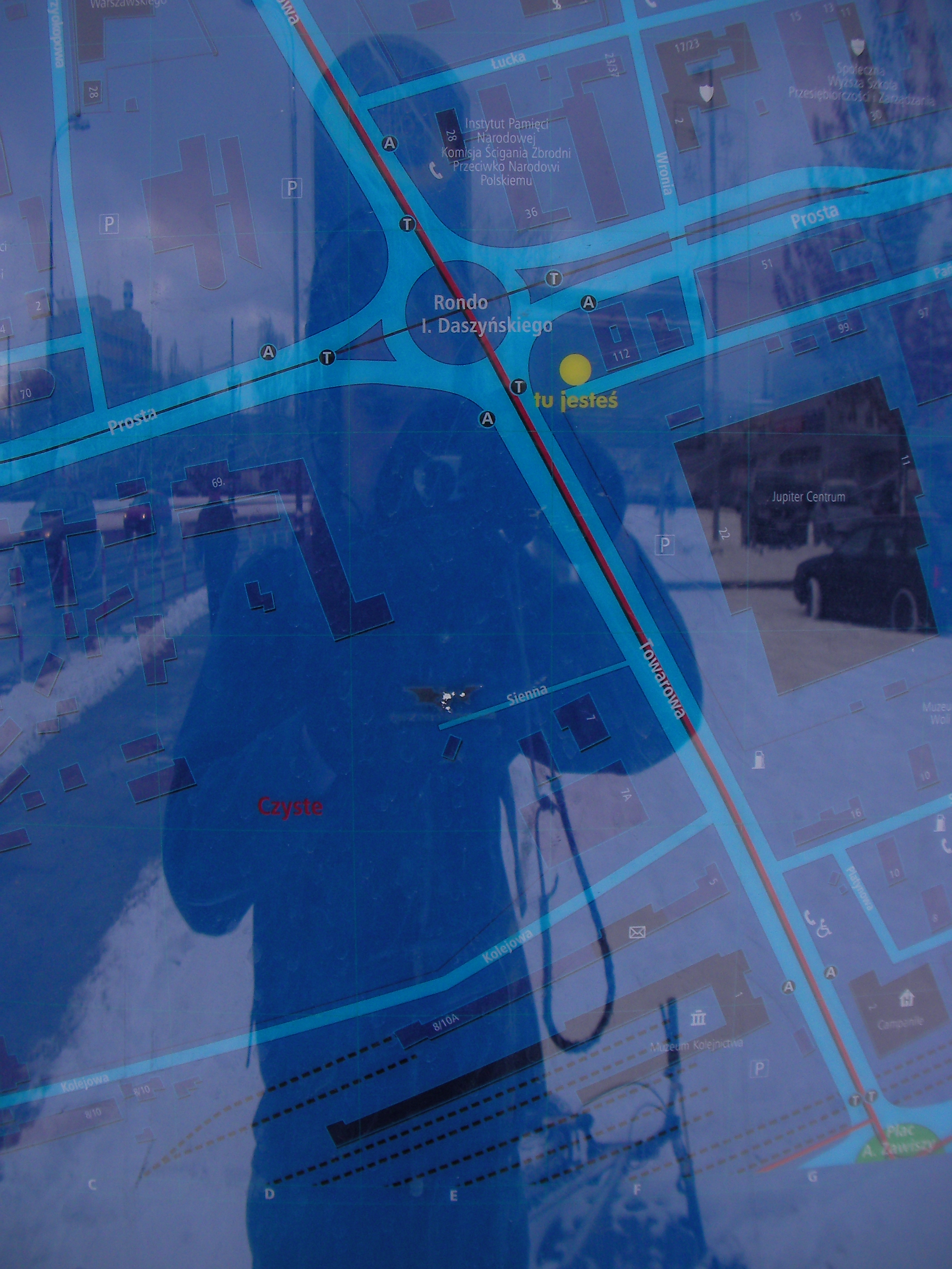
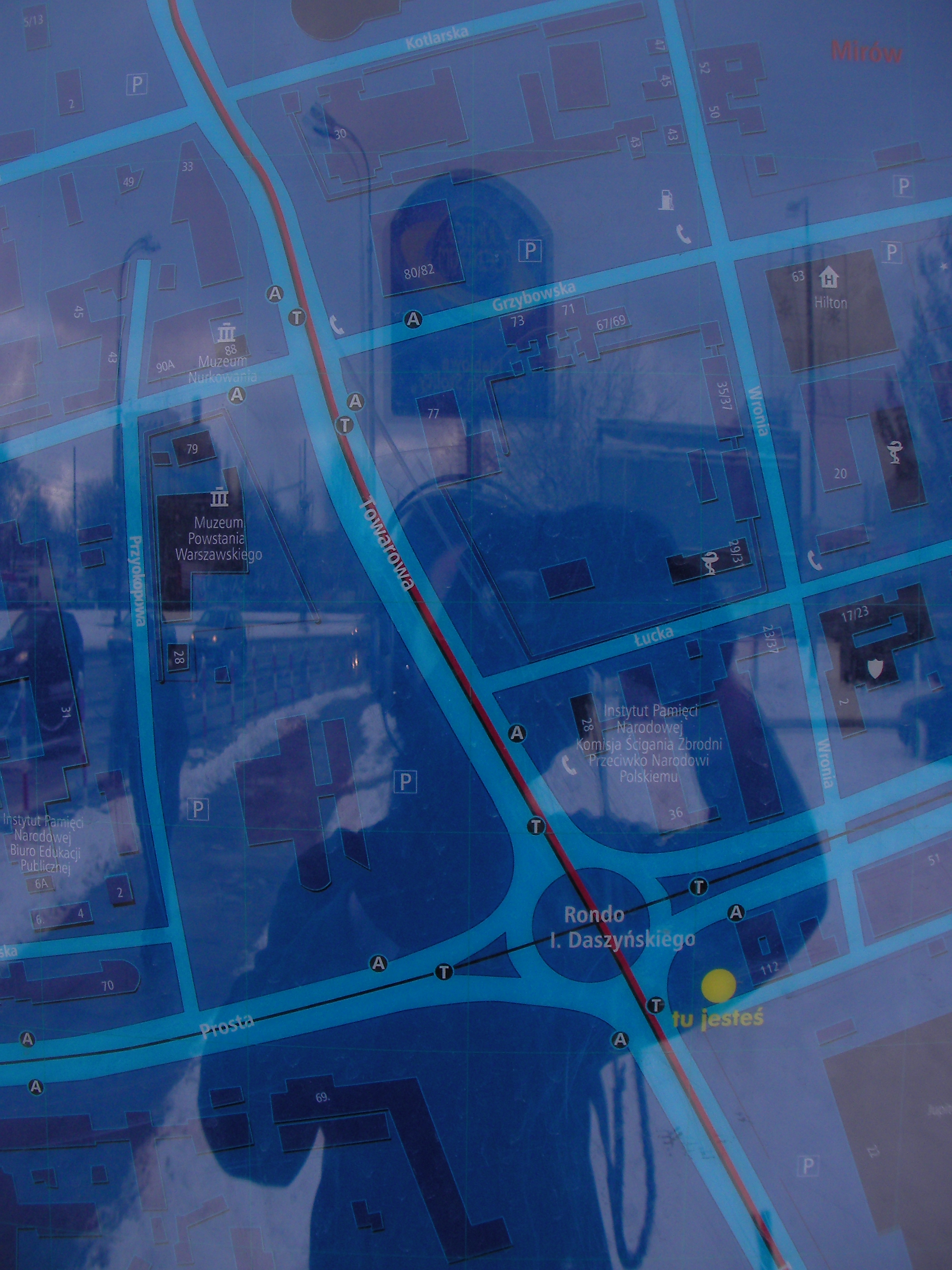
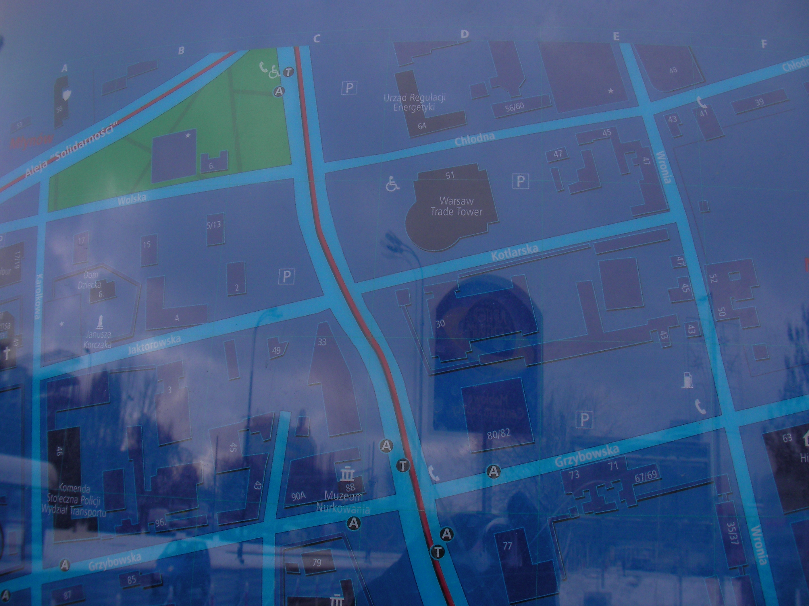
Daszyński roundabout
Map is placed on the east side of the Rondo Ignacego Daszyńskiego. Approximate location.
- Bottom-left, Left, Top-left, [Left, Bottom-left, Bottom, Middle, Top, Top, Top-right, Right, Botom-right, Bottom-right, Bottom-left, Bottom, Bottom-left, Left.
Żwirki i Wigury
Crossing with Banacha, Pola Mokotowskie latitude. Approximate location.
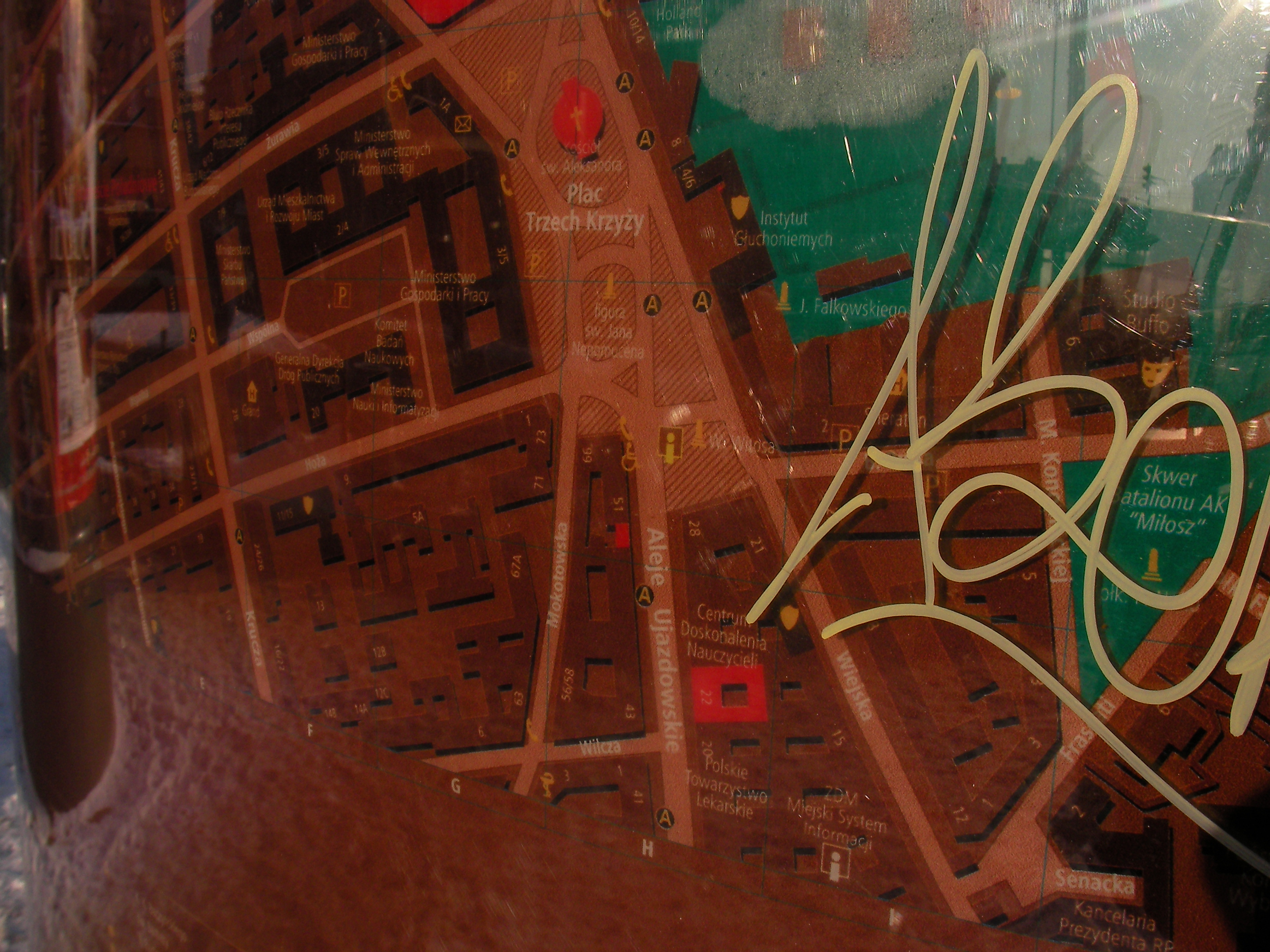
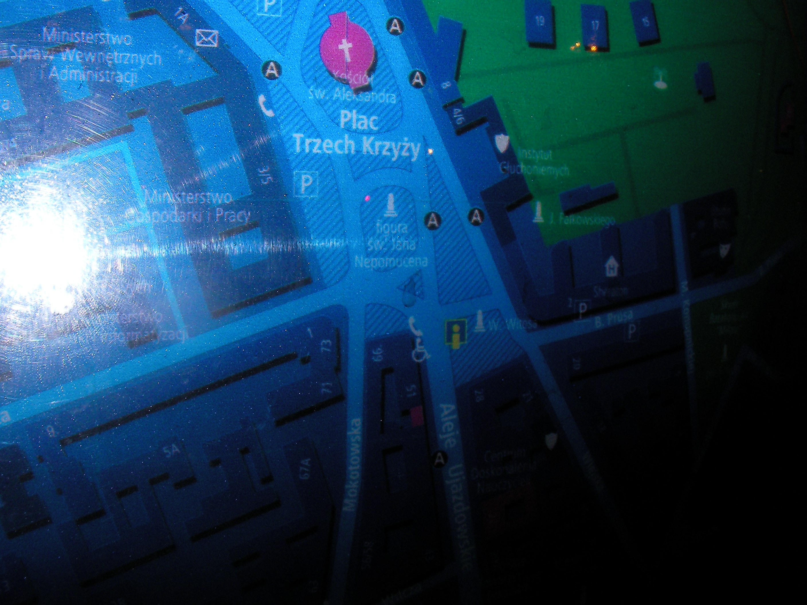
Triple Cross square
Under the monument on the south end. Approximate location.
- Very poor night pics. Top, Top, Bottom-right, Left, Middle.
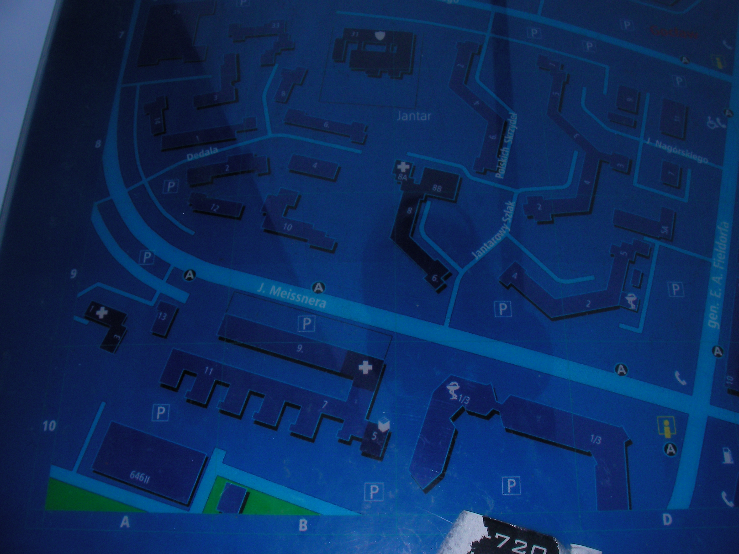
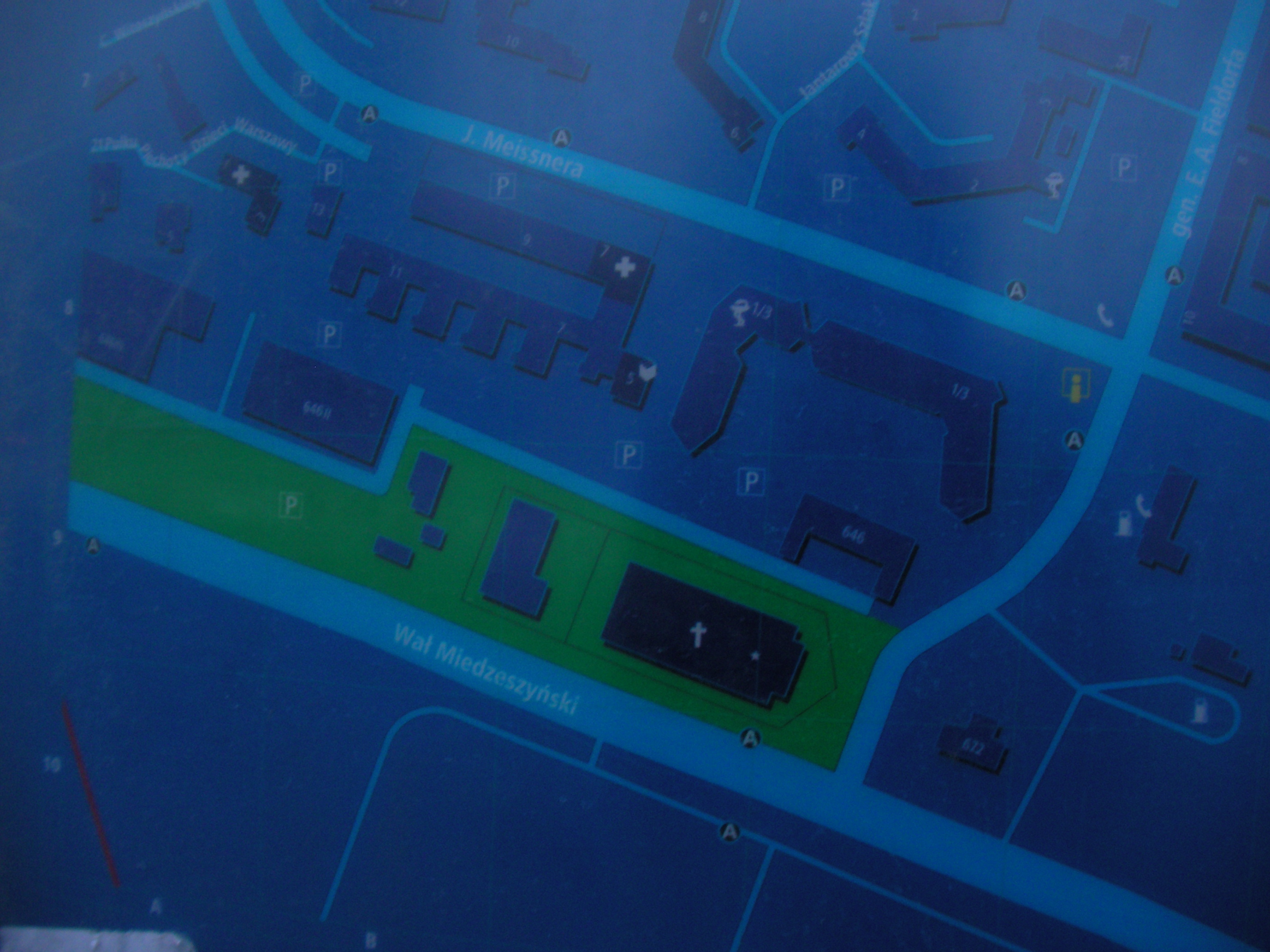
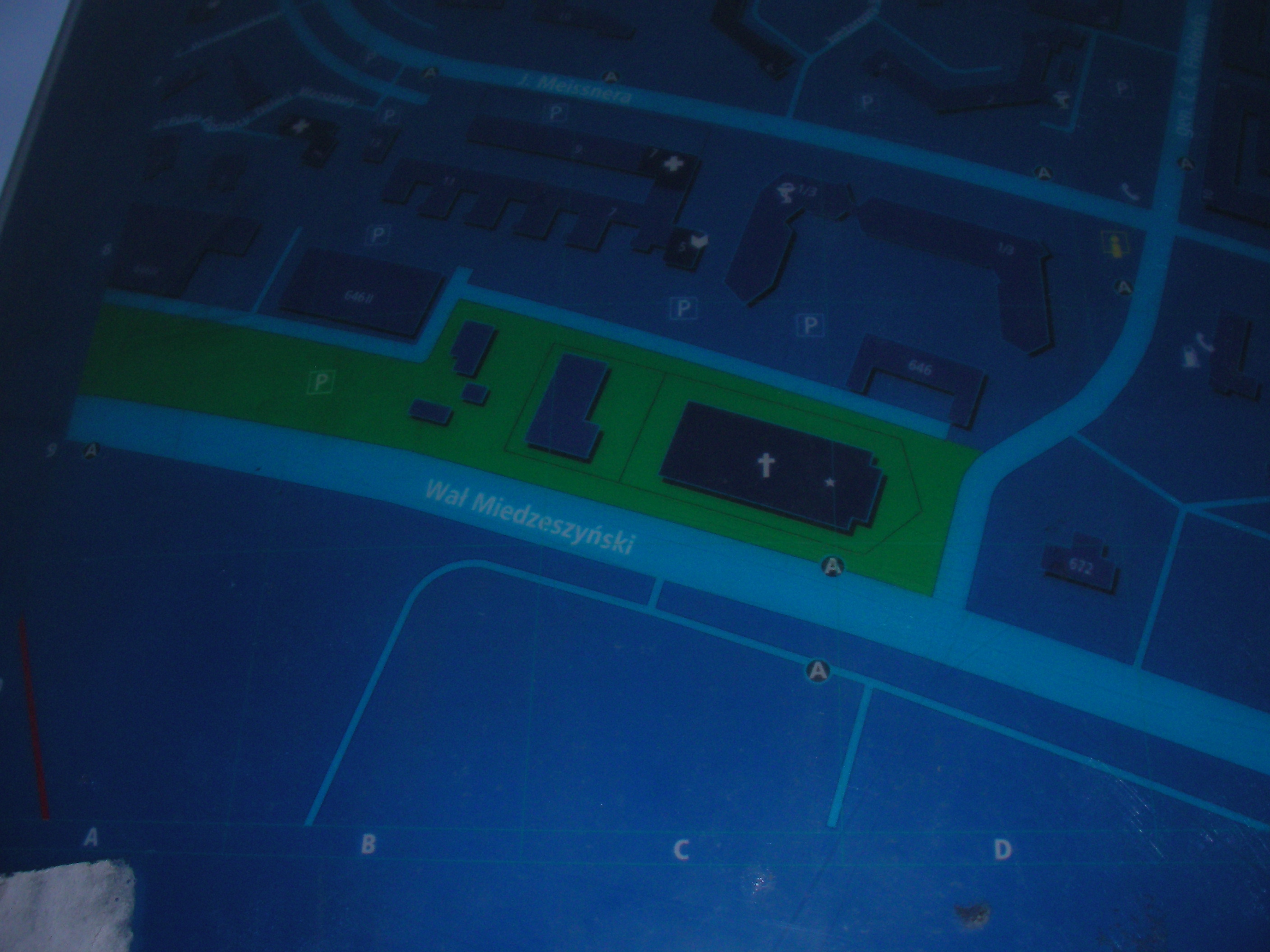
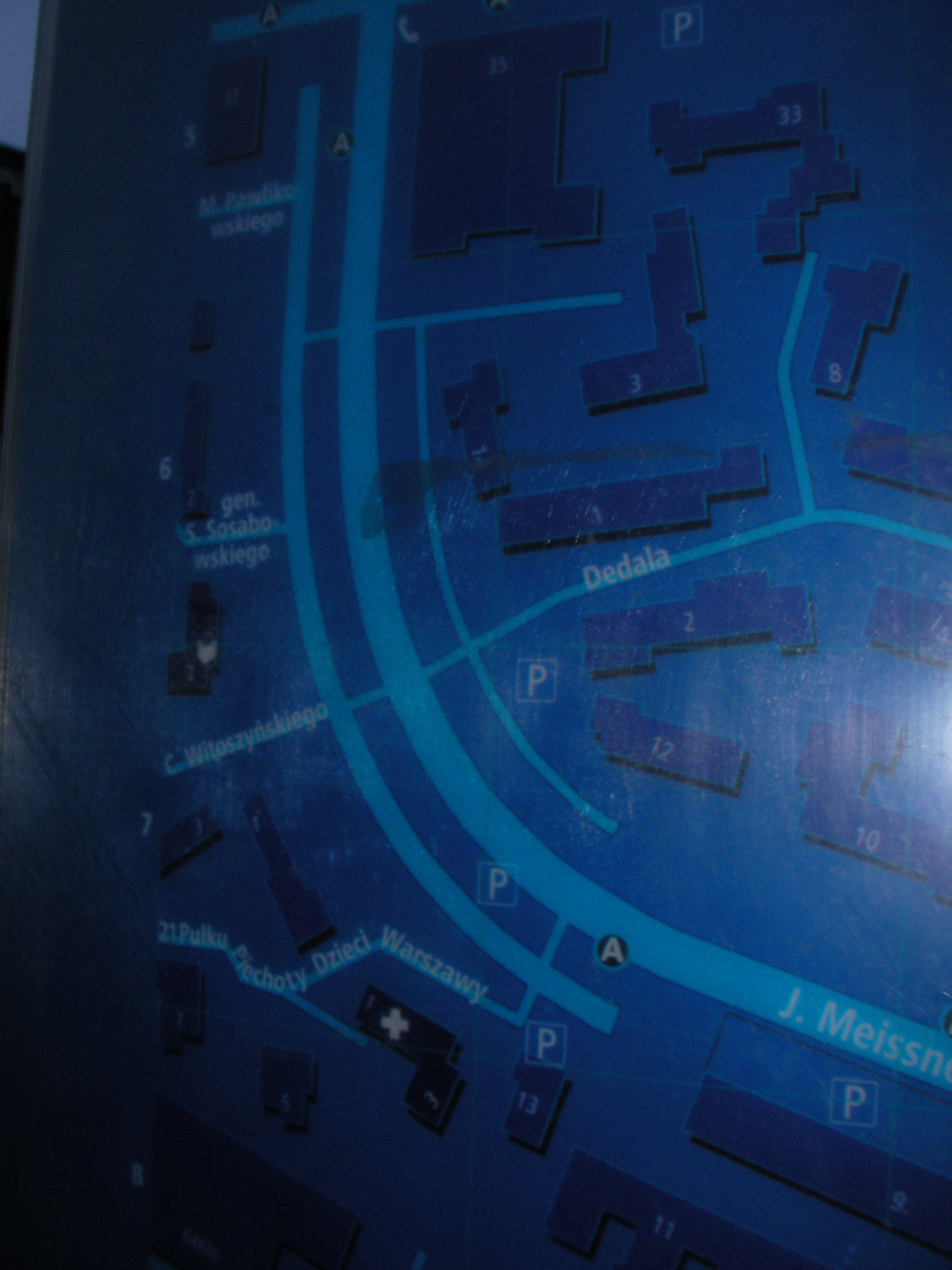
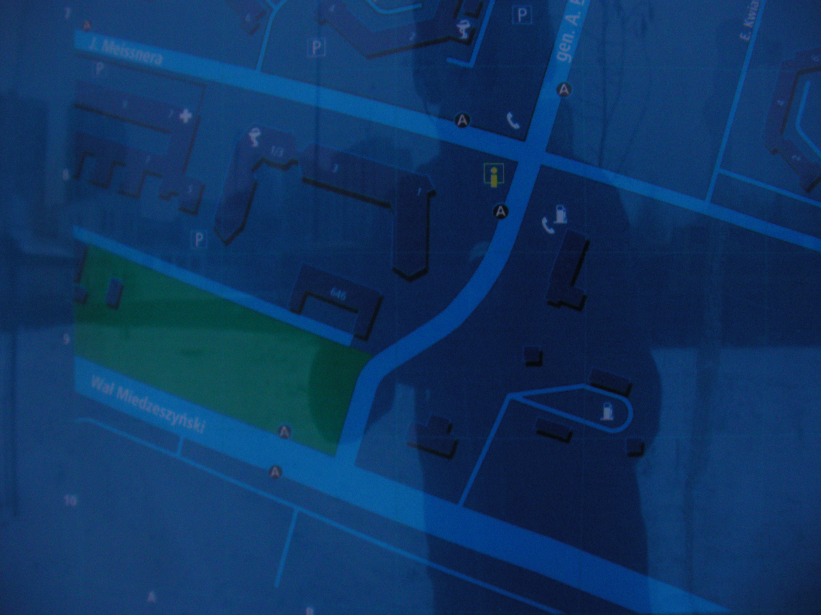
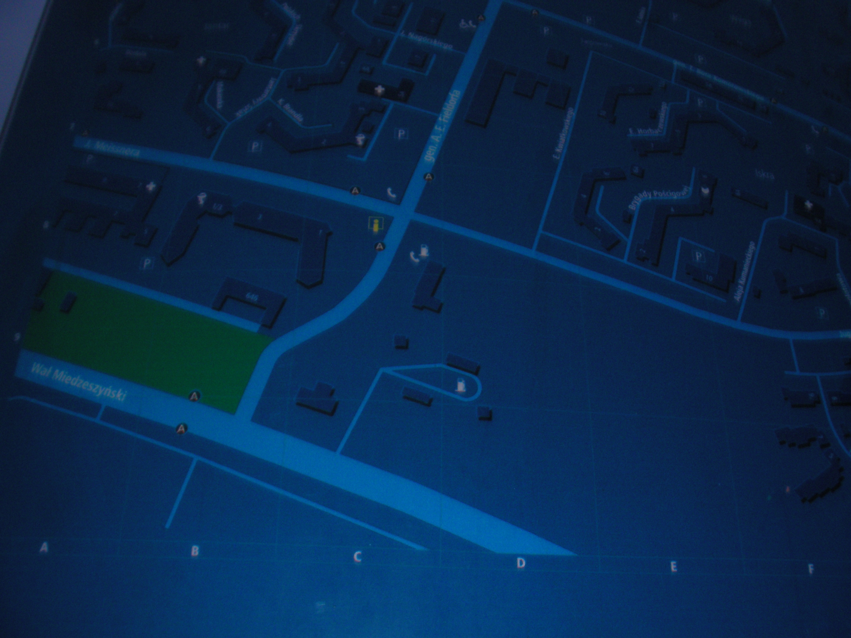
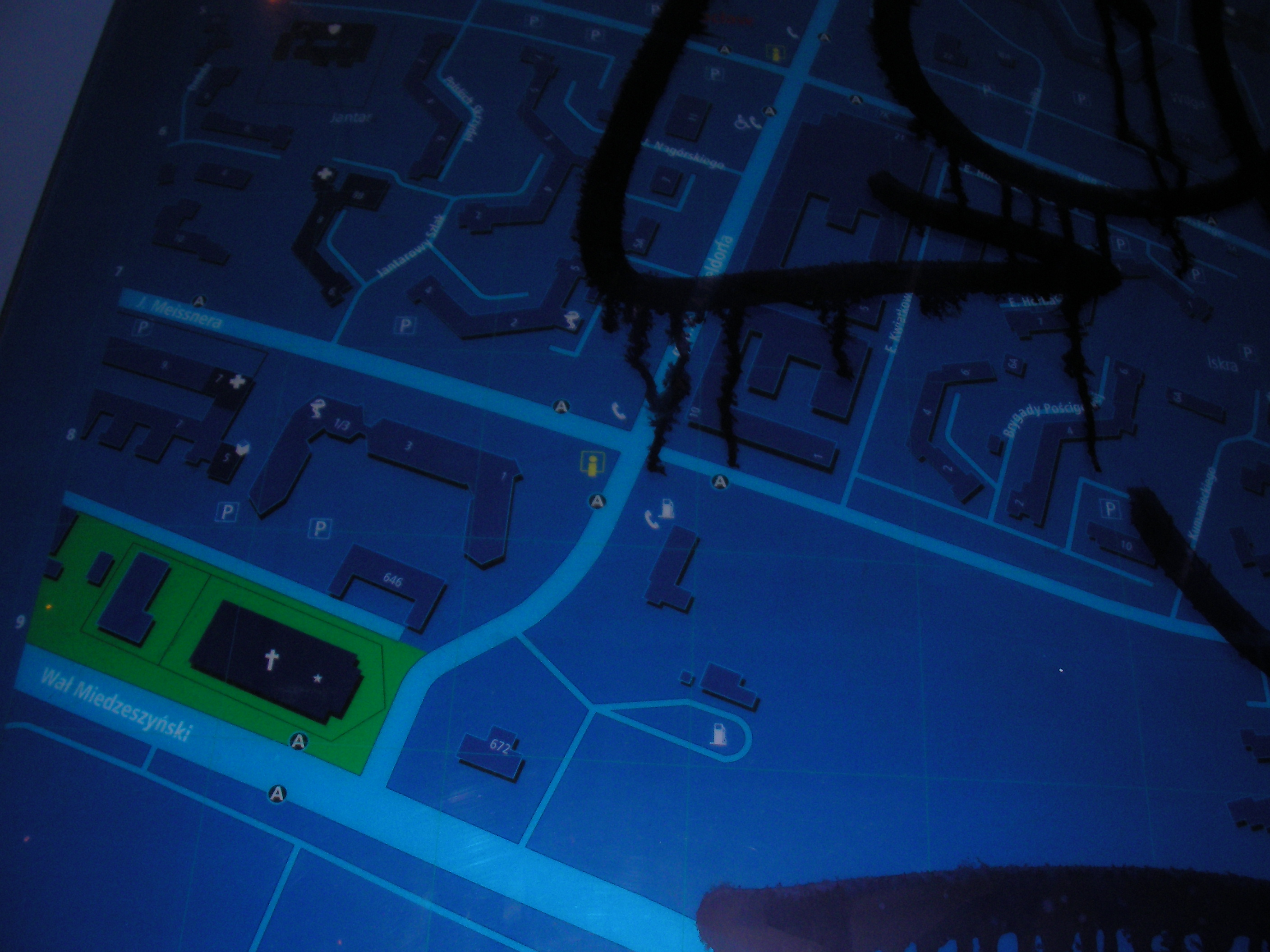
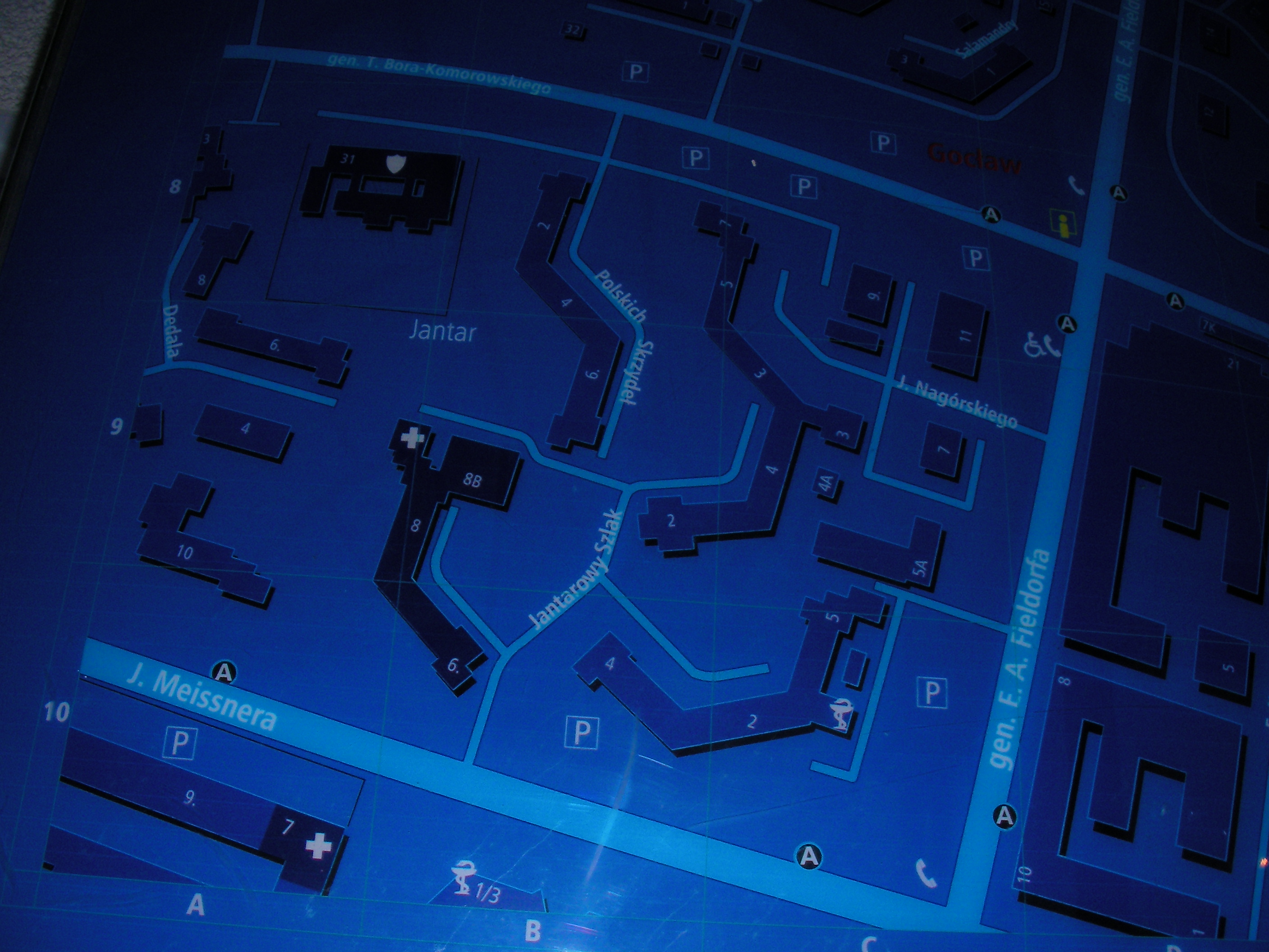
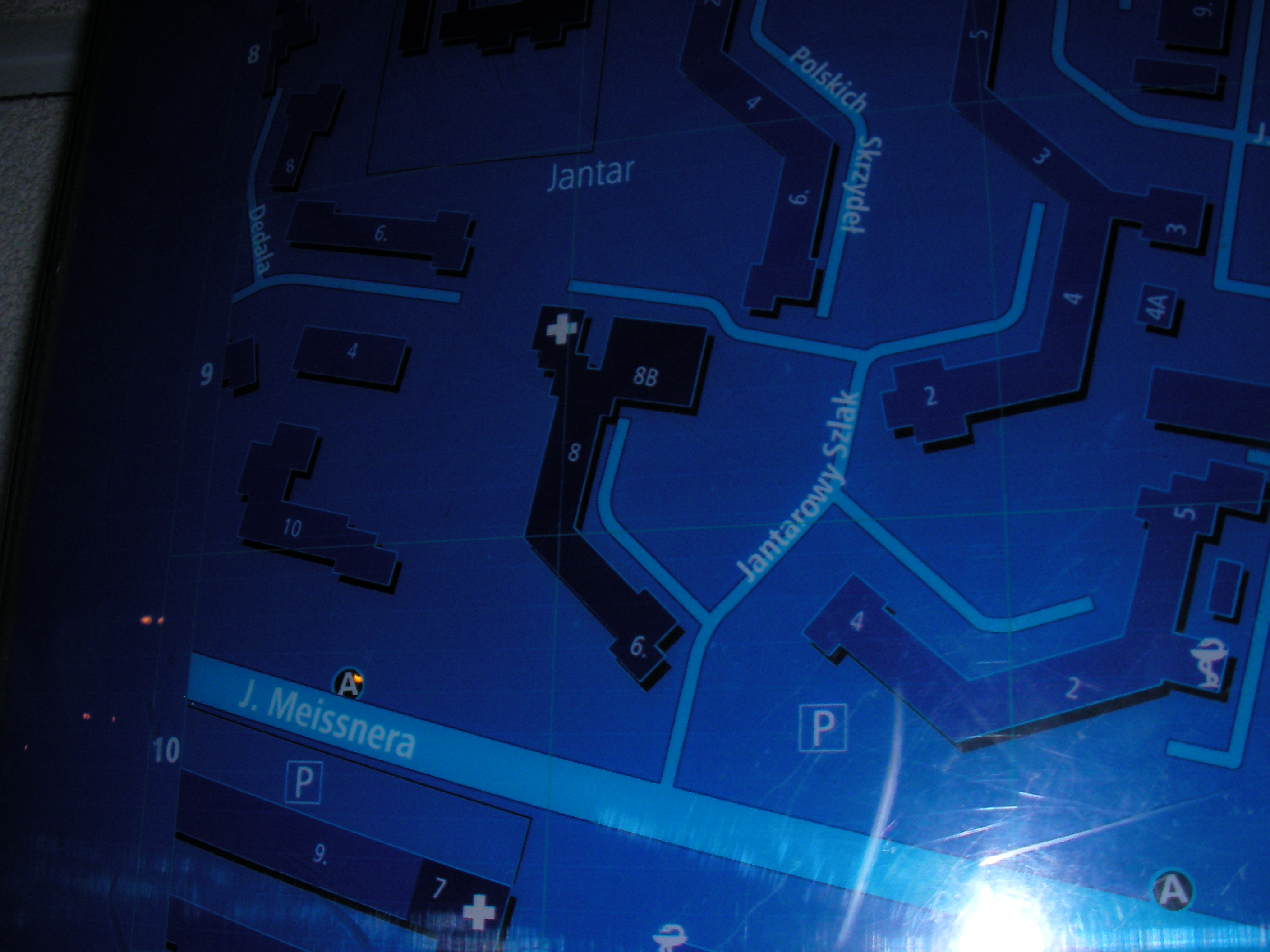
Meissnera
Emila Fieldorfa & Janusza Meissnera crossing. Approximate location.
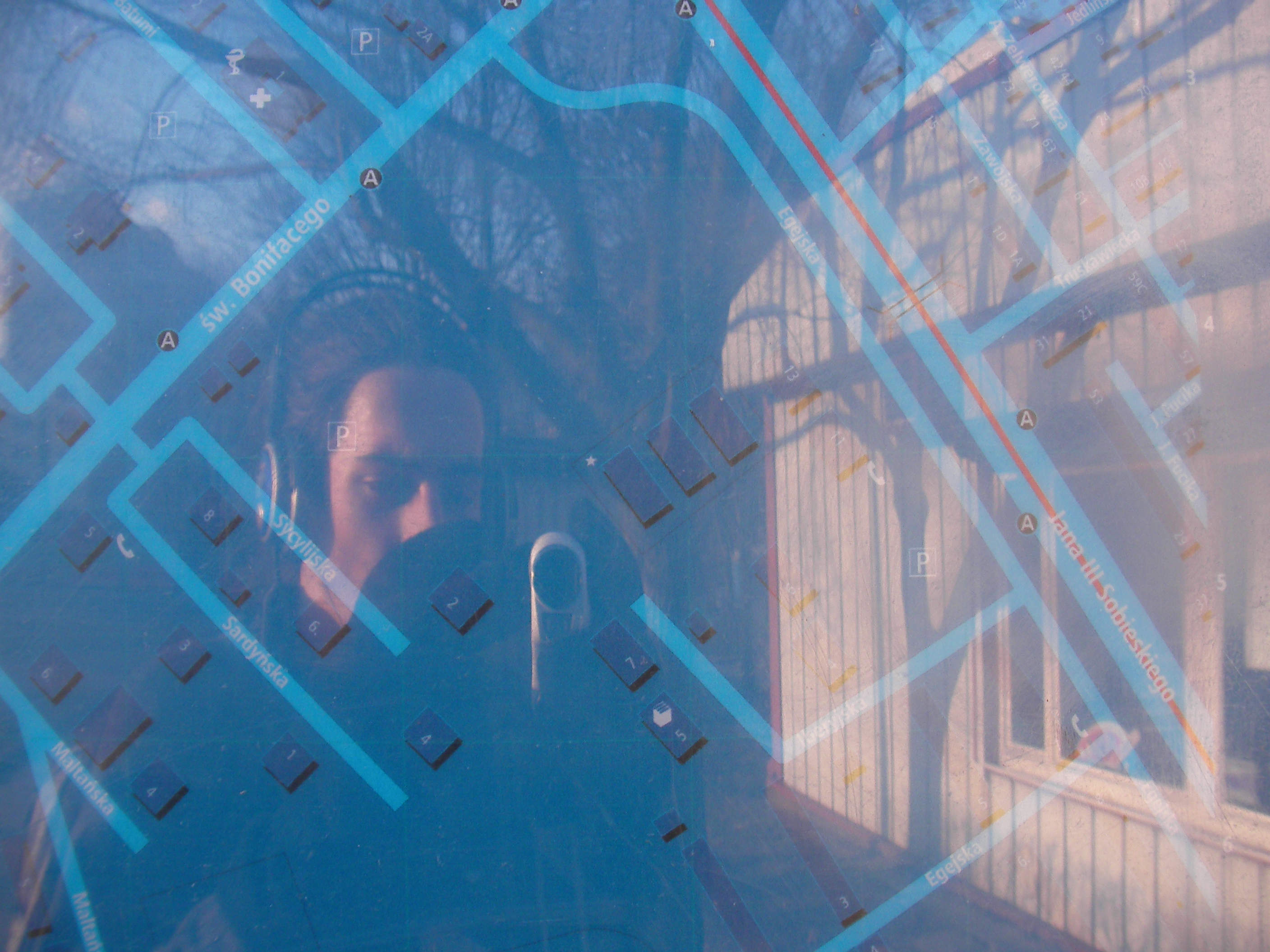
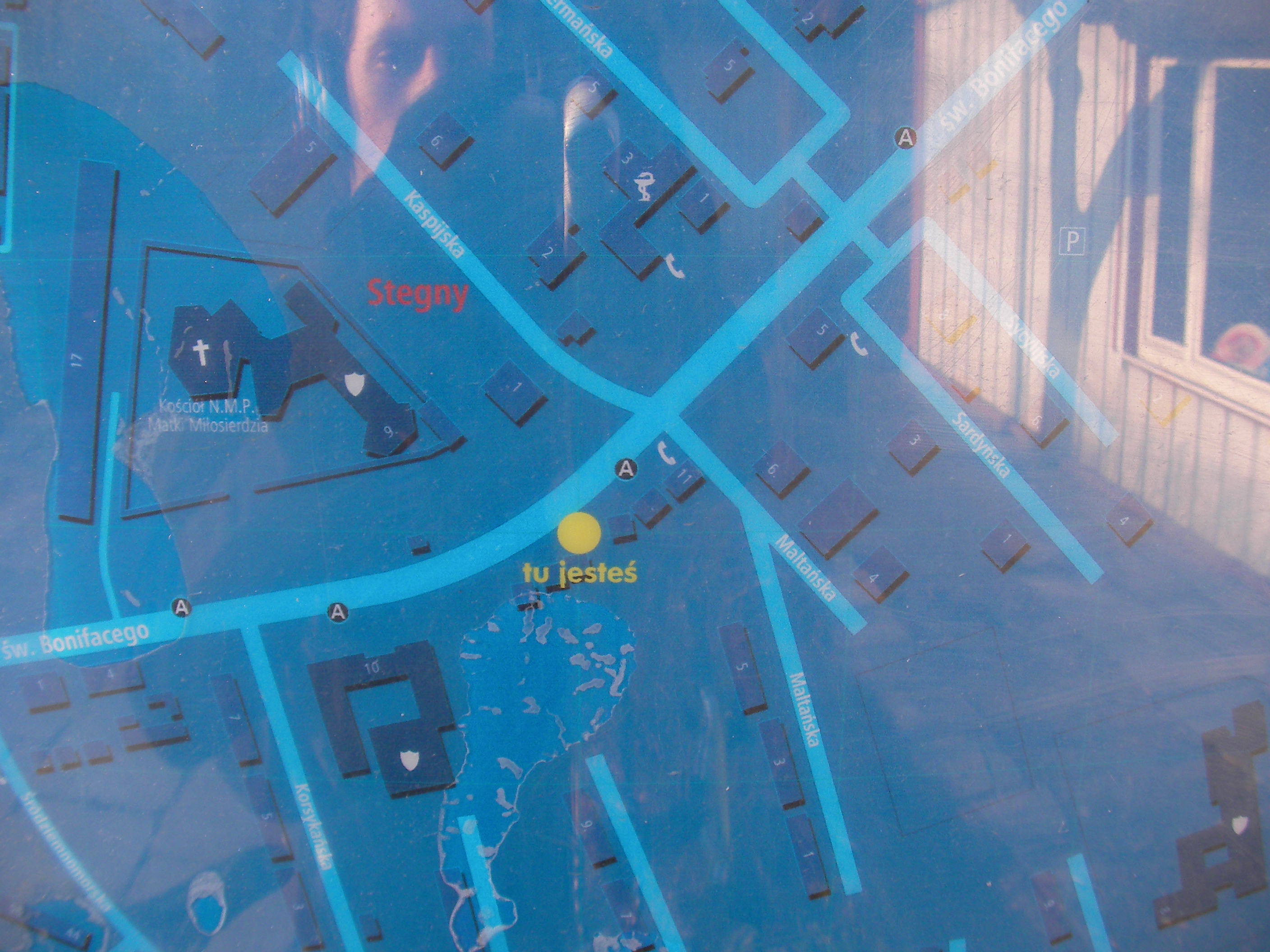
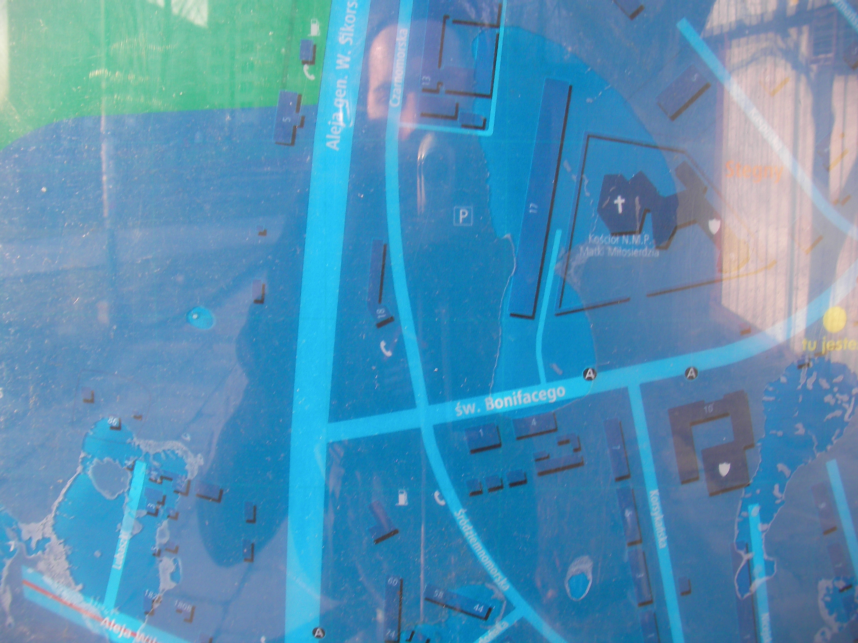
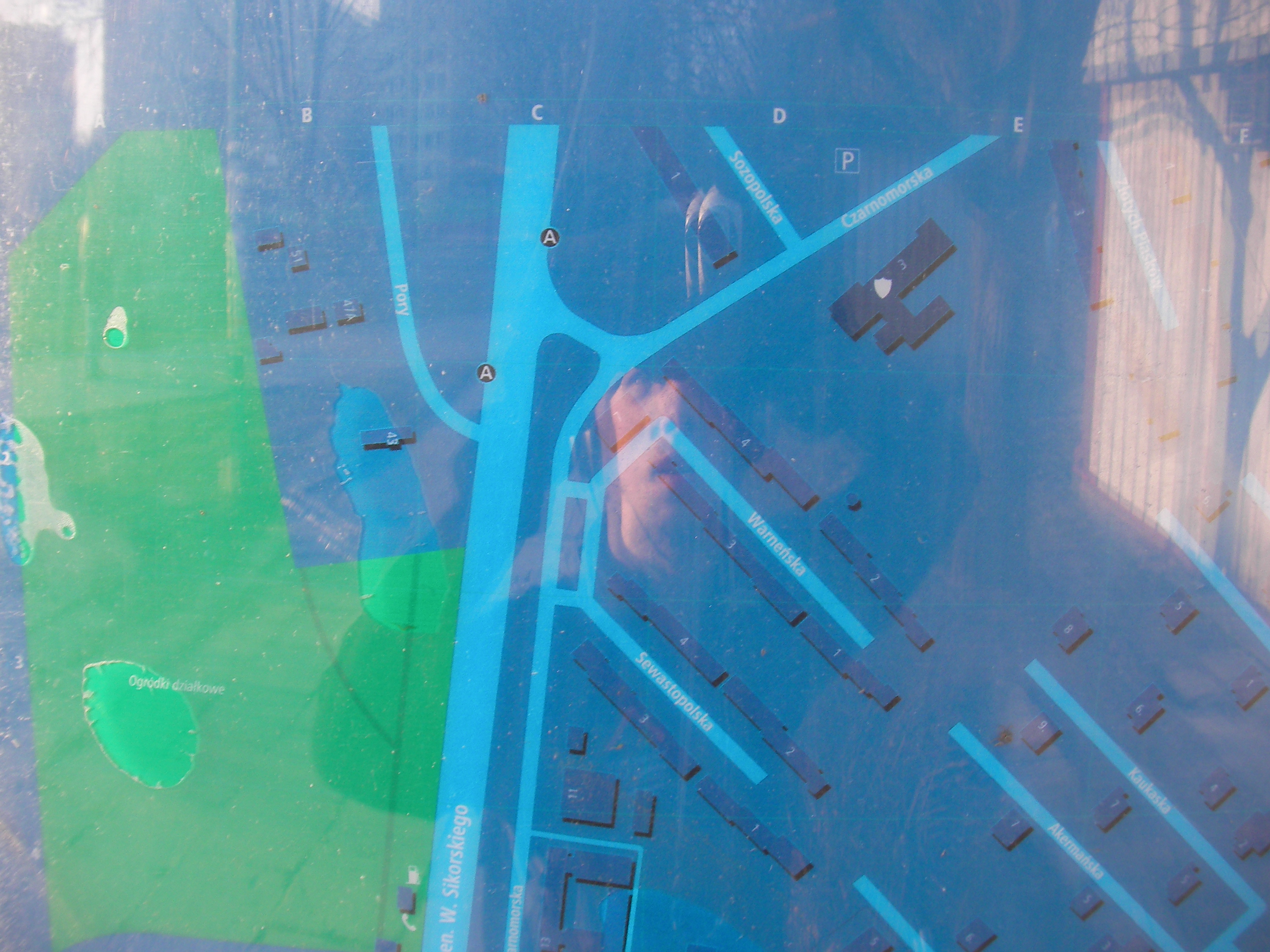
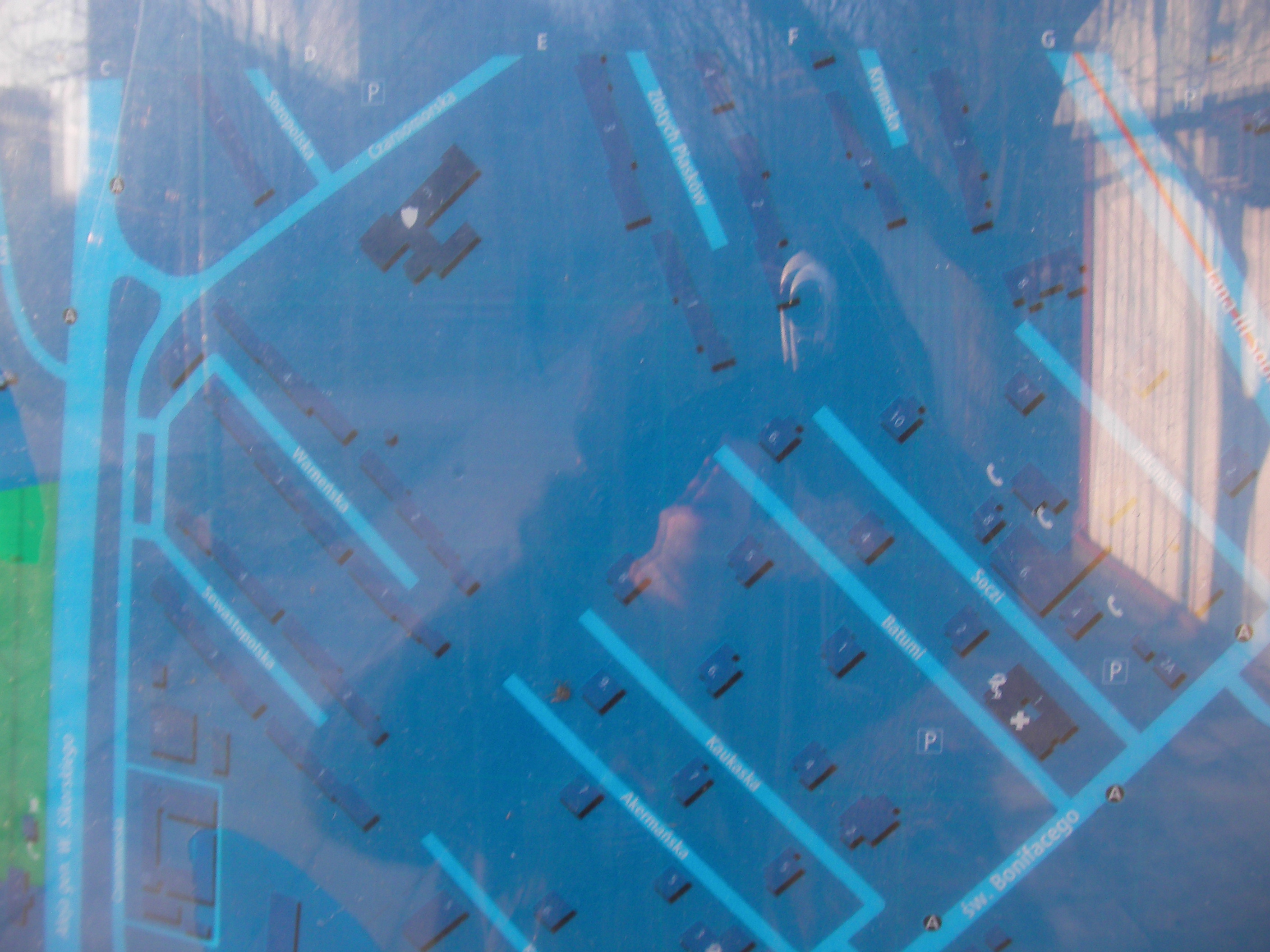
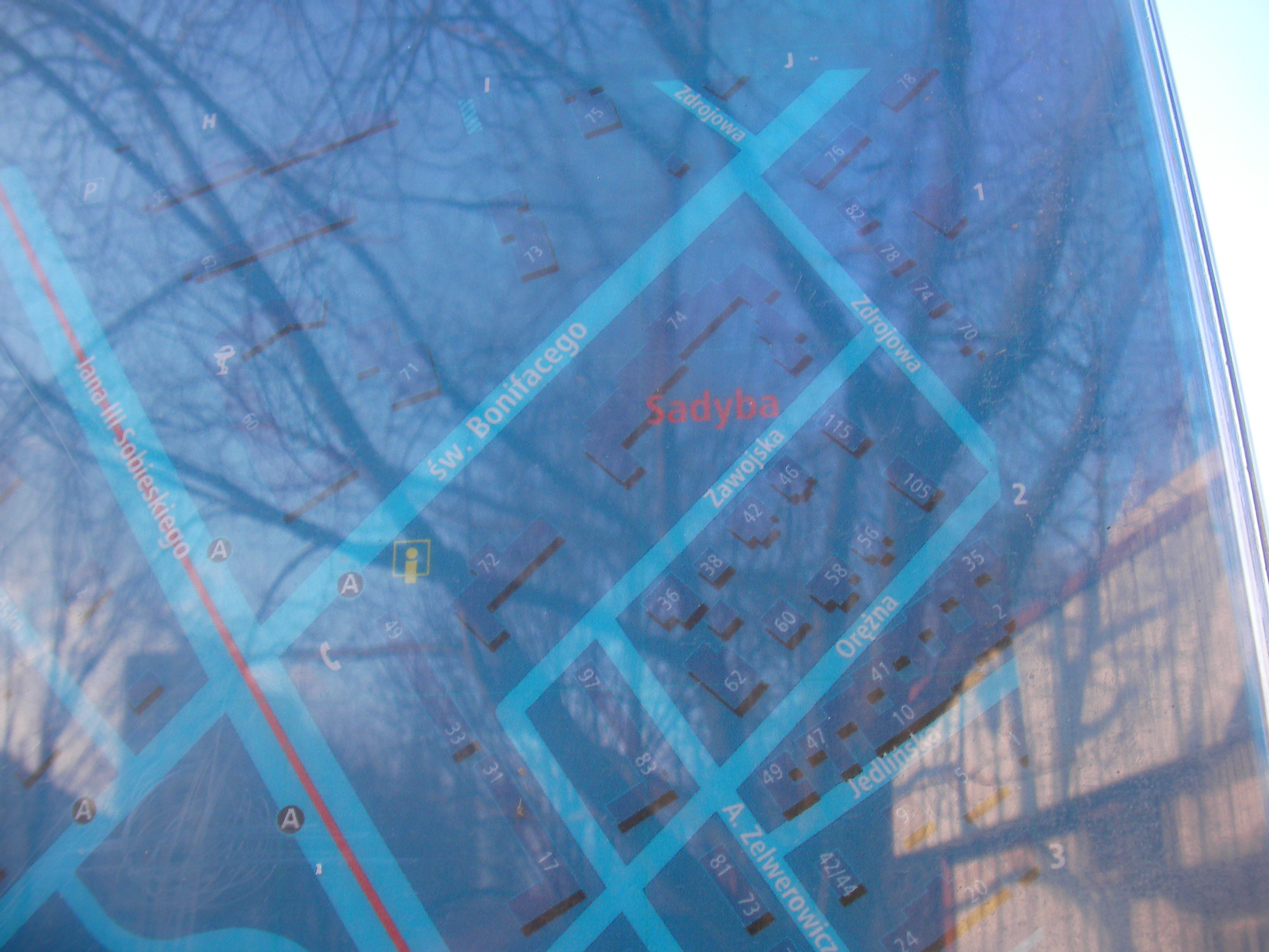
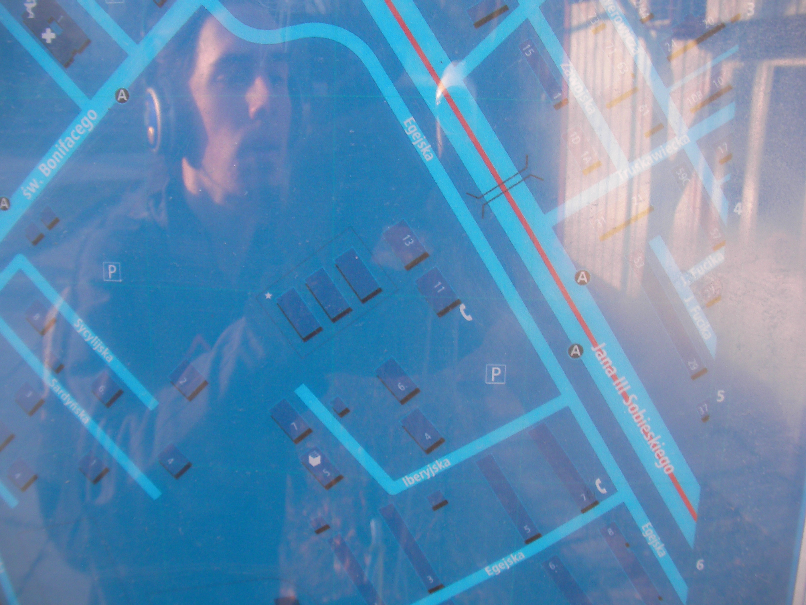
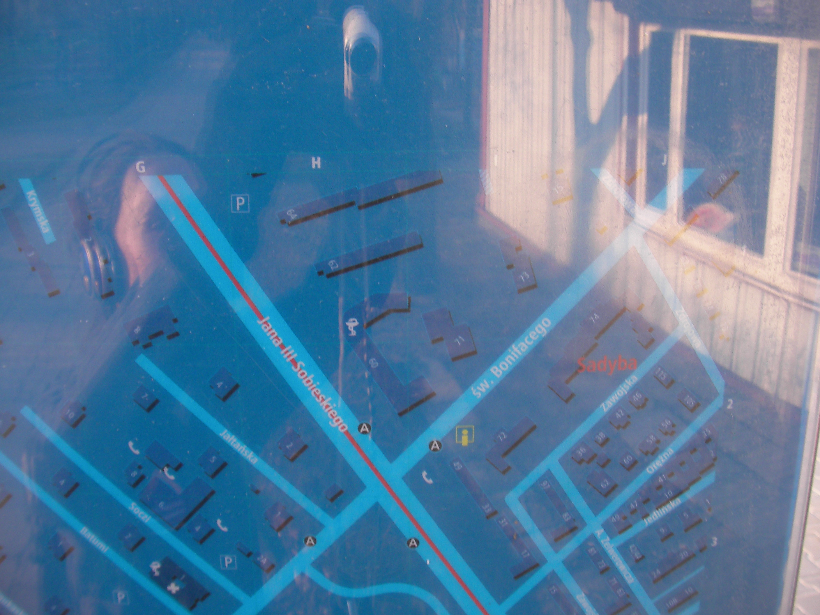
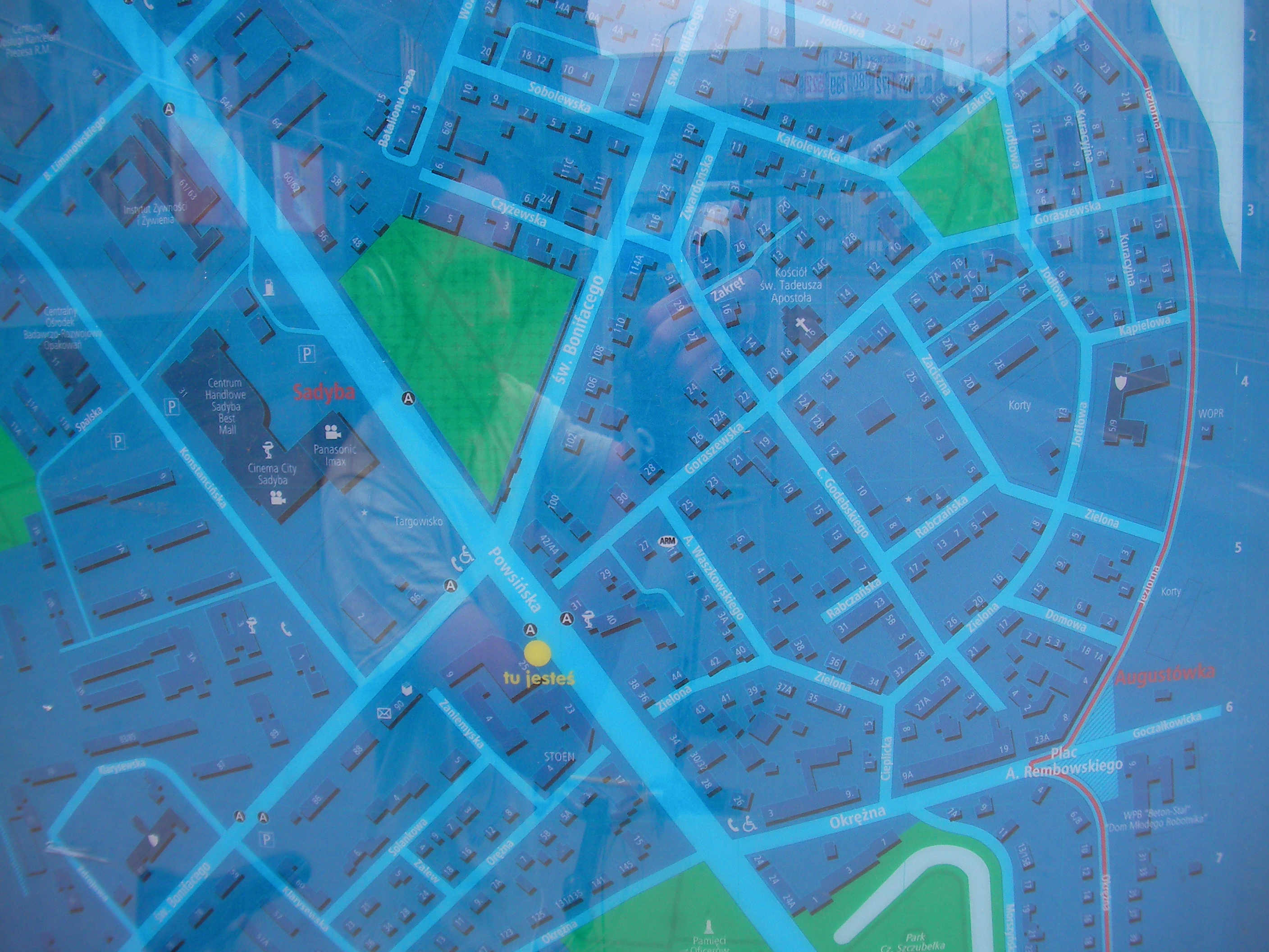
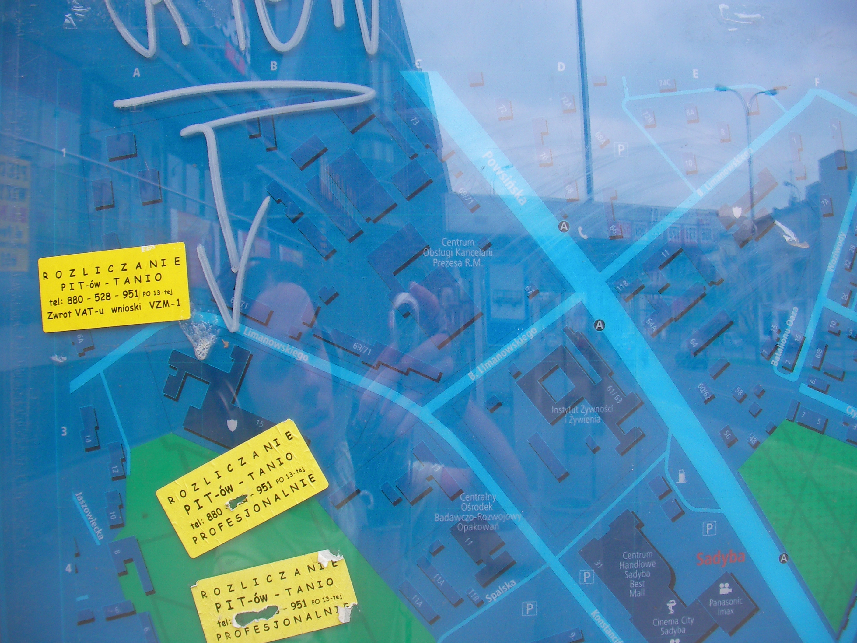
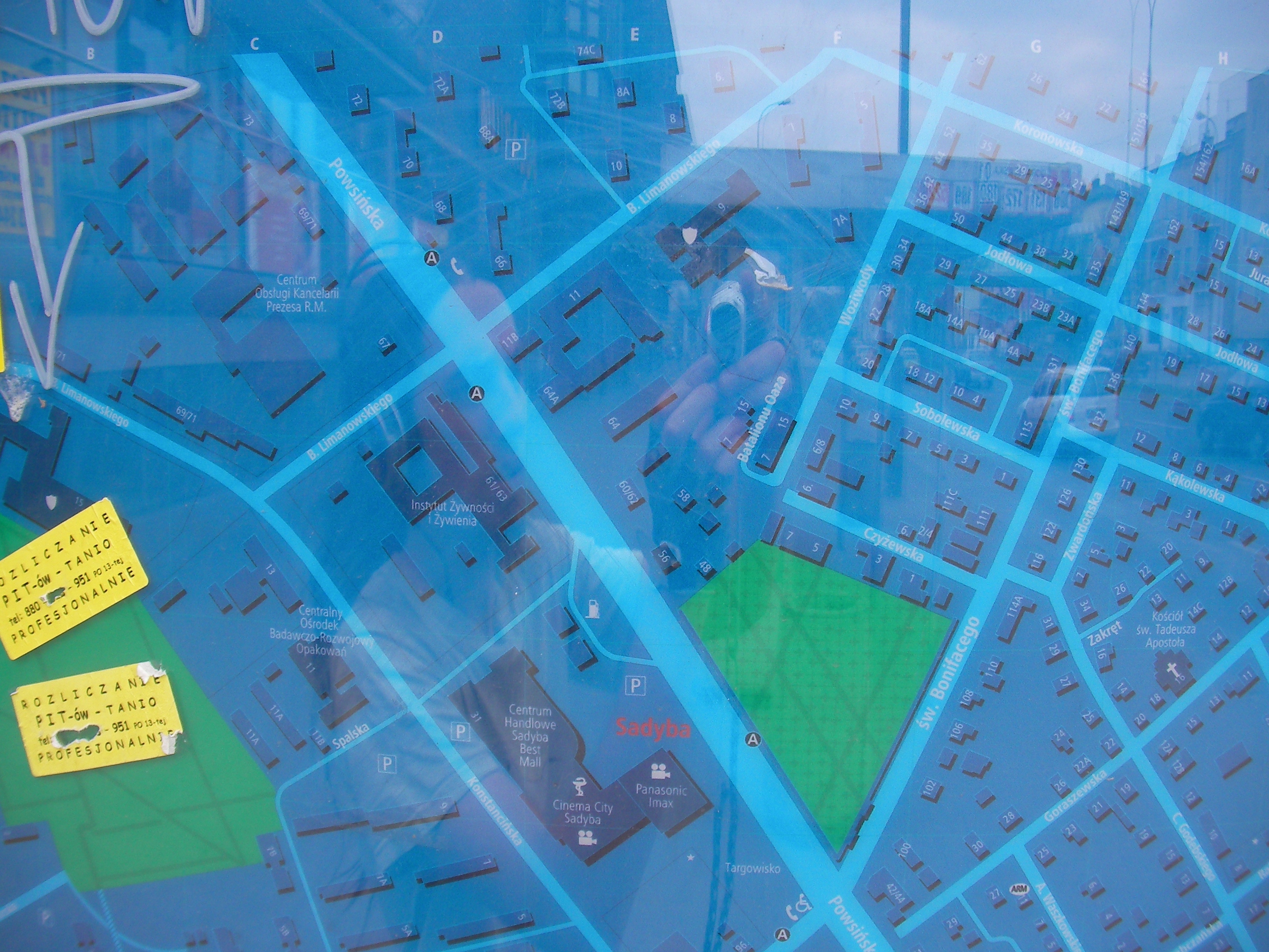
Sadyba
St. Bonifacego street. Approximate location.
- Bottom-left, Bottom, Bottom-right, Bottom-right, Right, Middle, Left, Top-left, Top, Top-right, Top-right, Right, Top-right, Left.
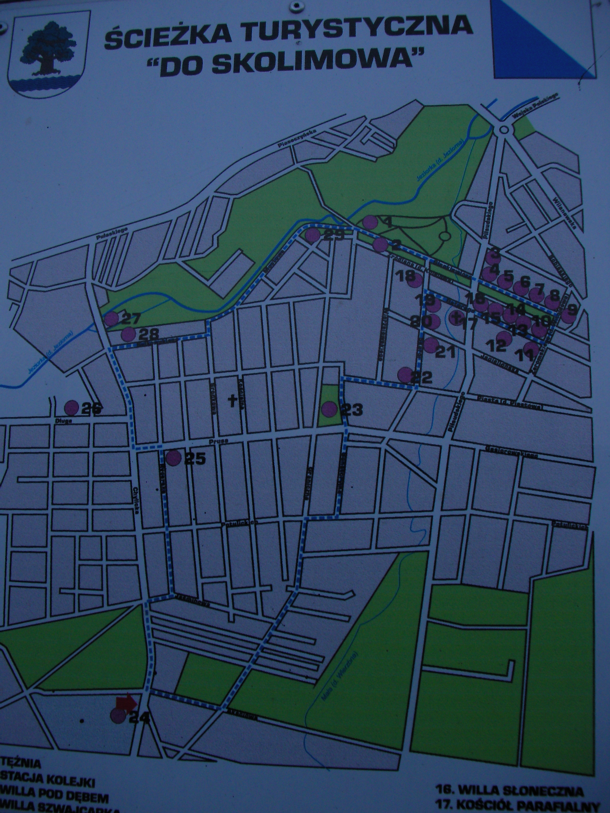
Konstancin-Jeziorna south
Ścieżka turystyczna ,,Do Skolimowa" - Touristic trail "Towards Skolimów" - map placed by the entrance to a cemetery in Czarnów / Nowe Wierzbno south of Warsaw. Only contains some POIs (historically significant houses and landmarks) and no street names. Below it is a historical note about the cemetery. Approximate location.
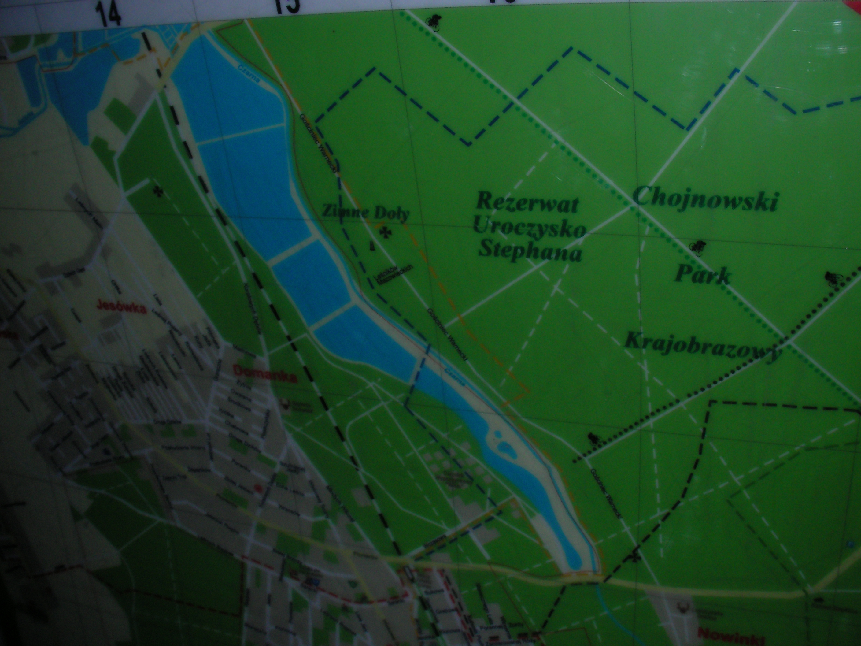
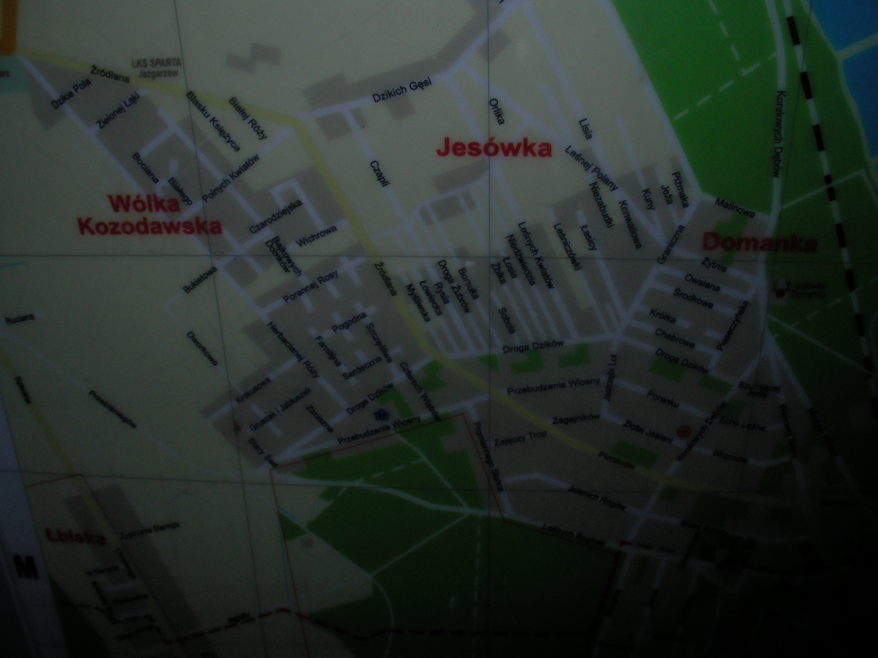
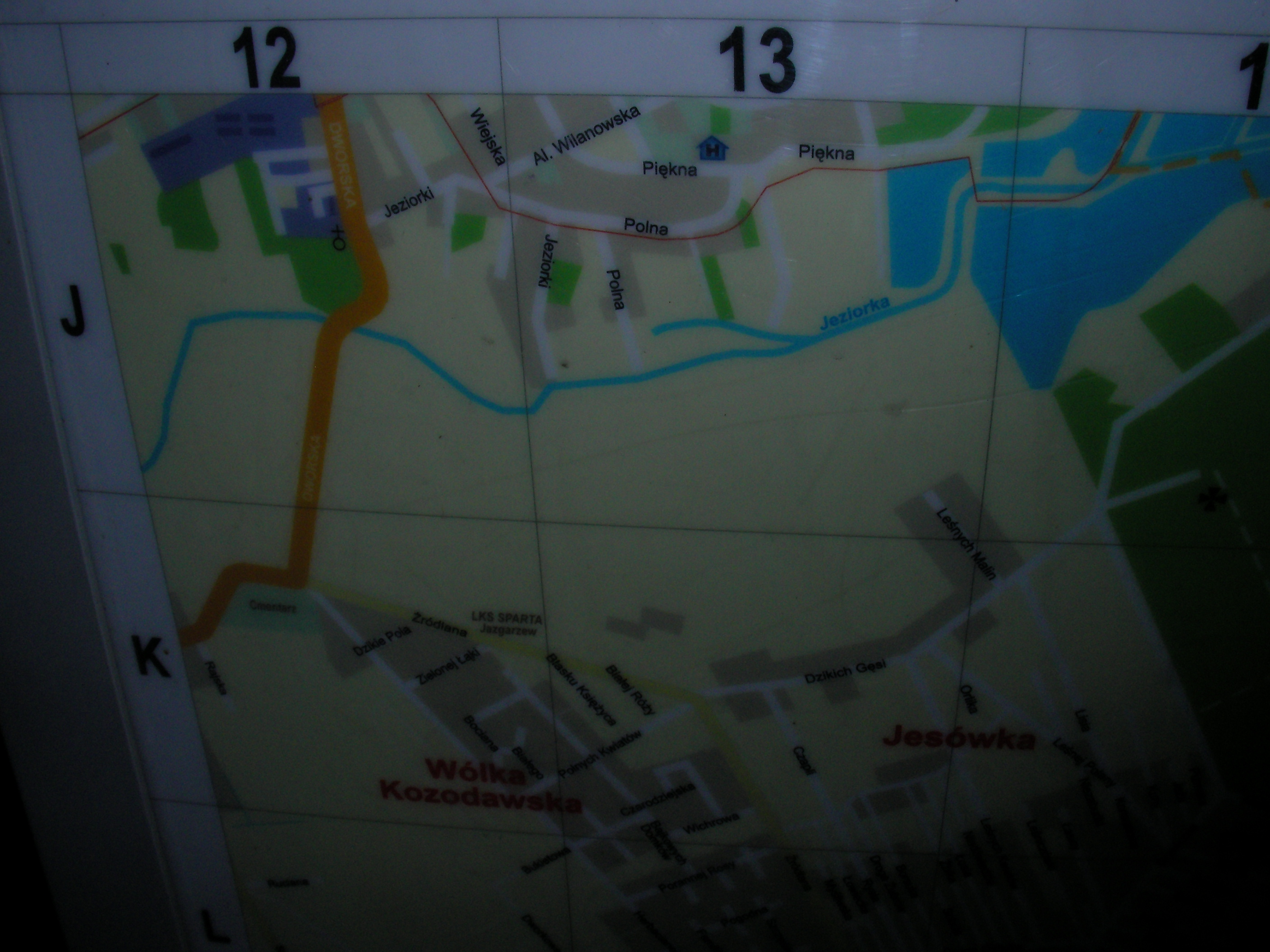
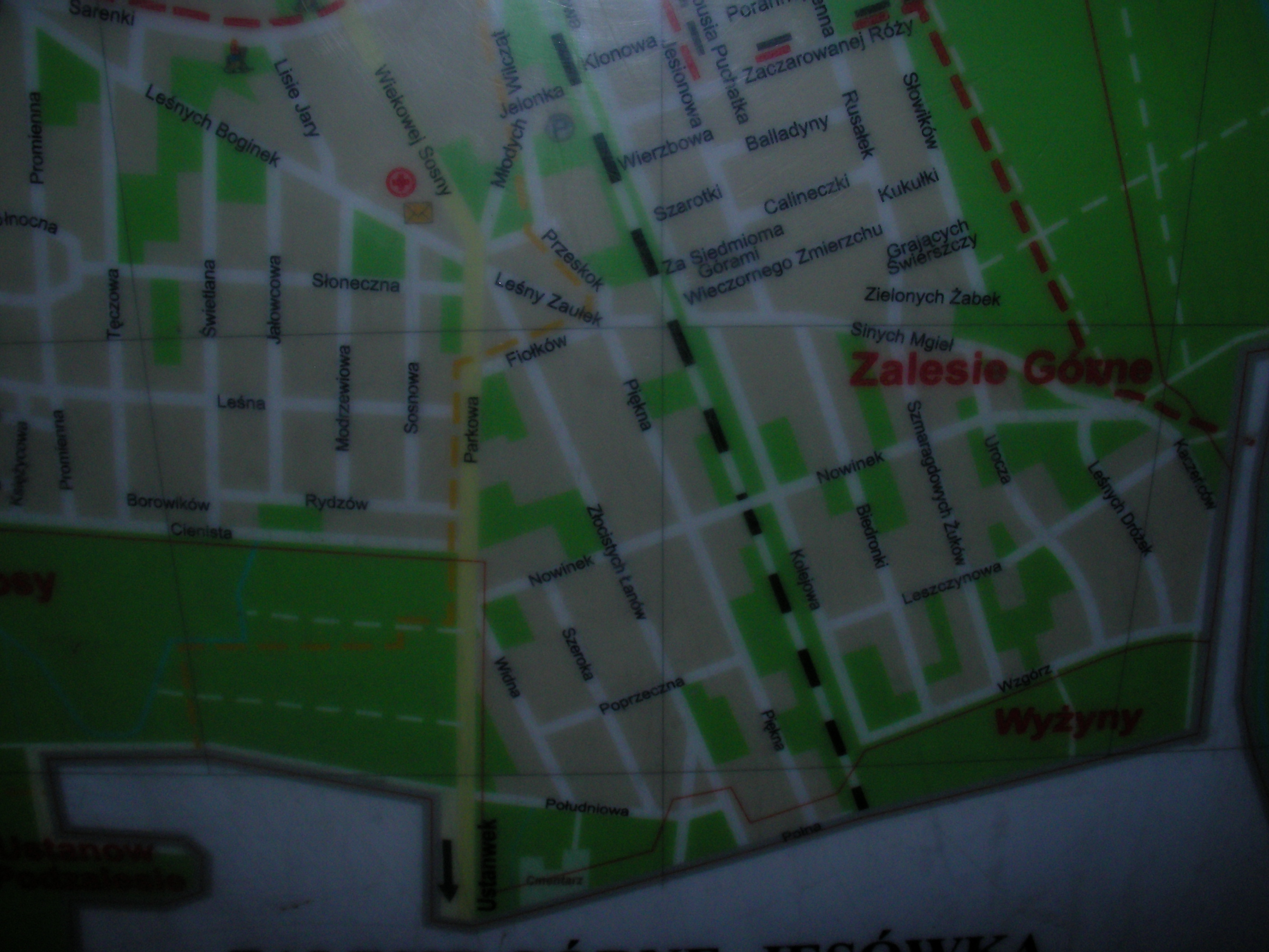
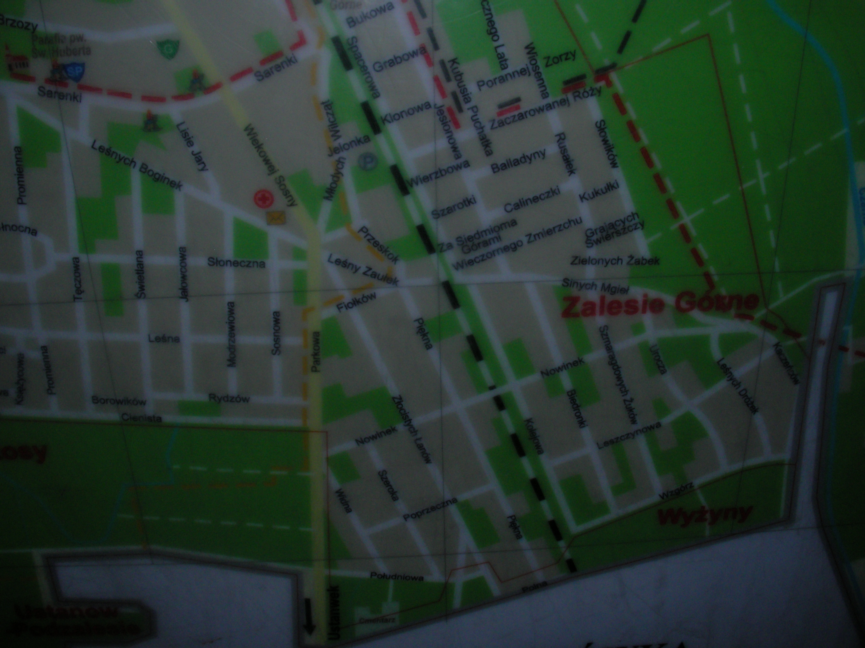
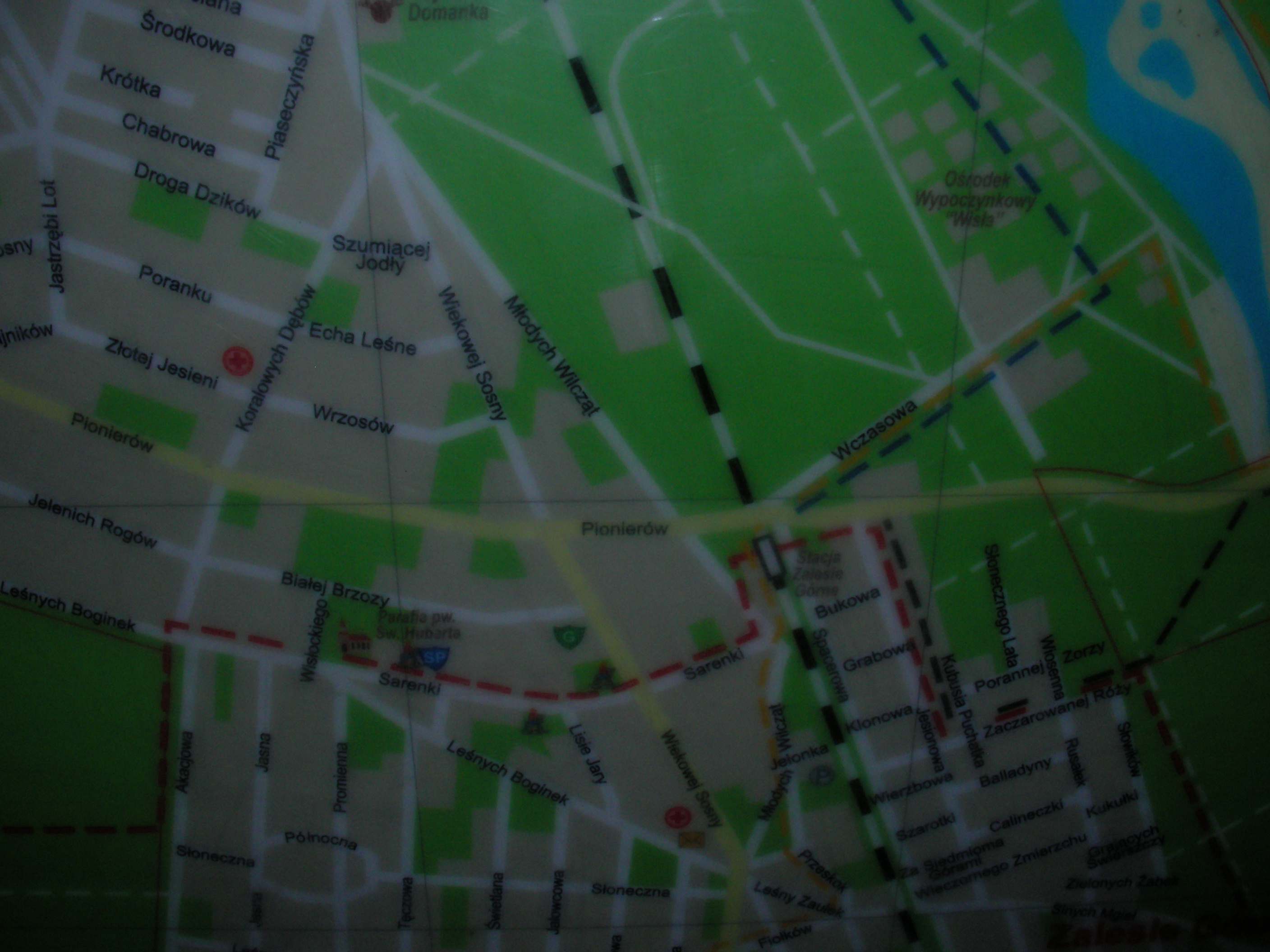
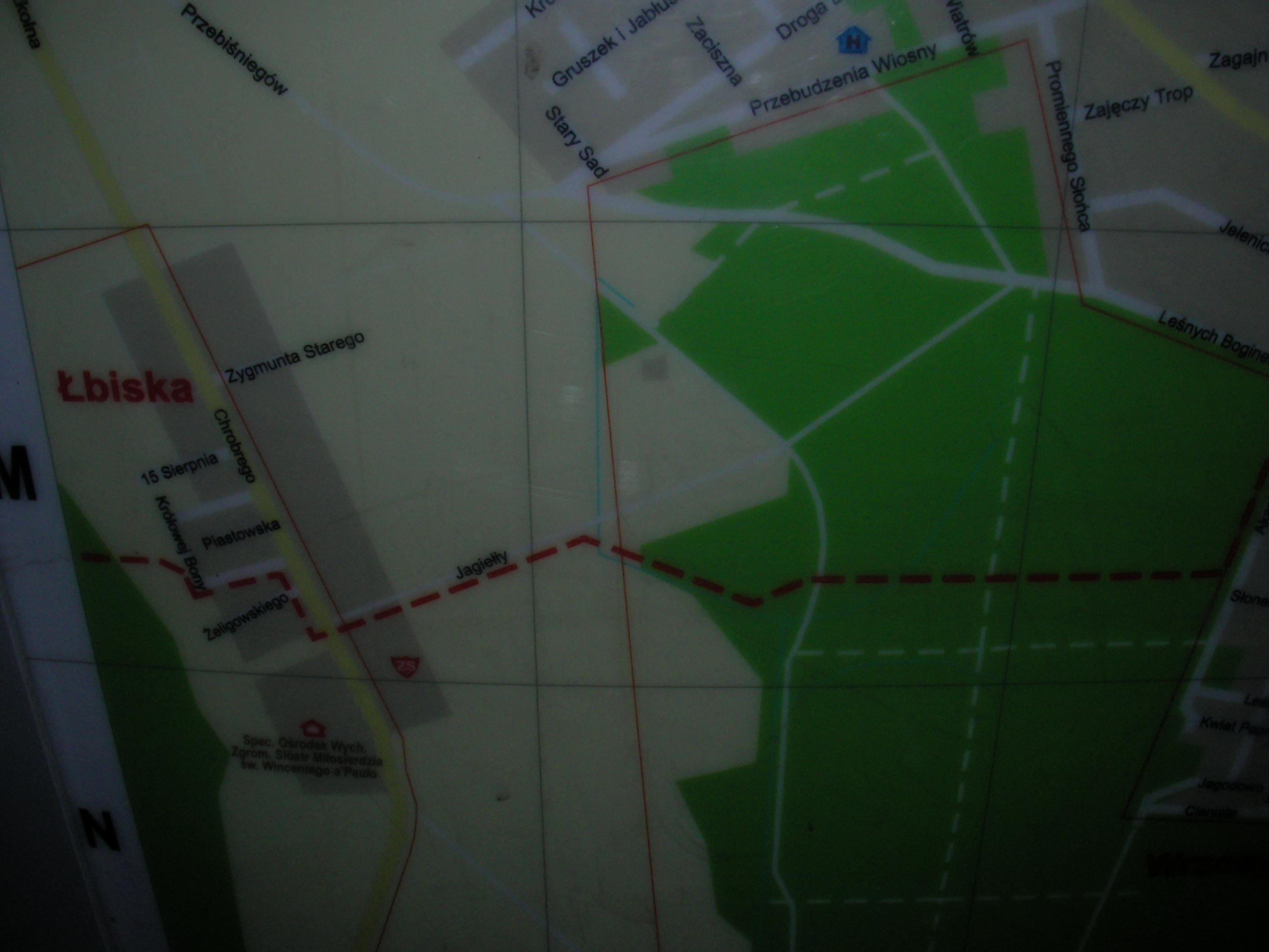
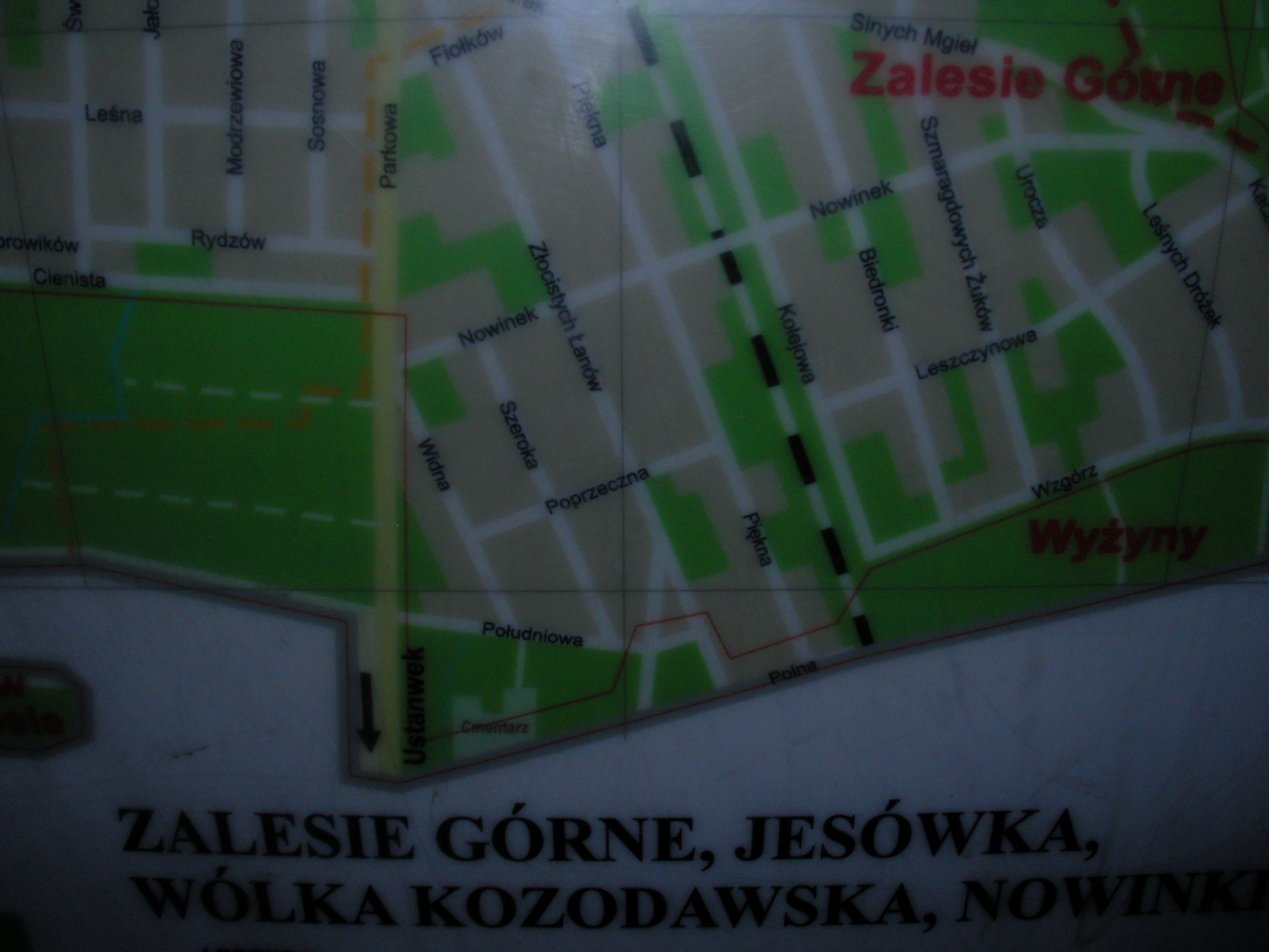
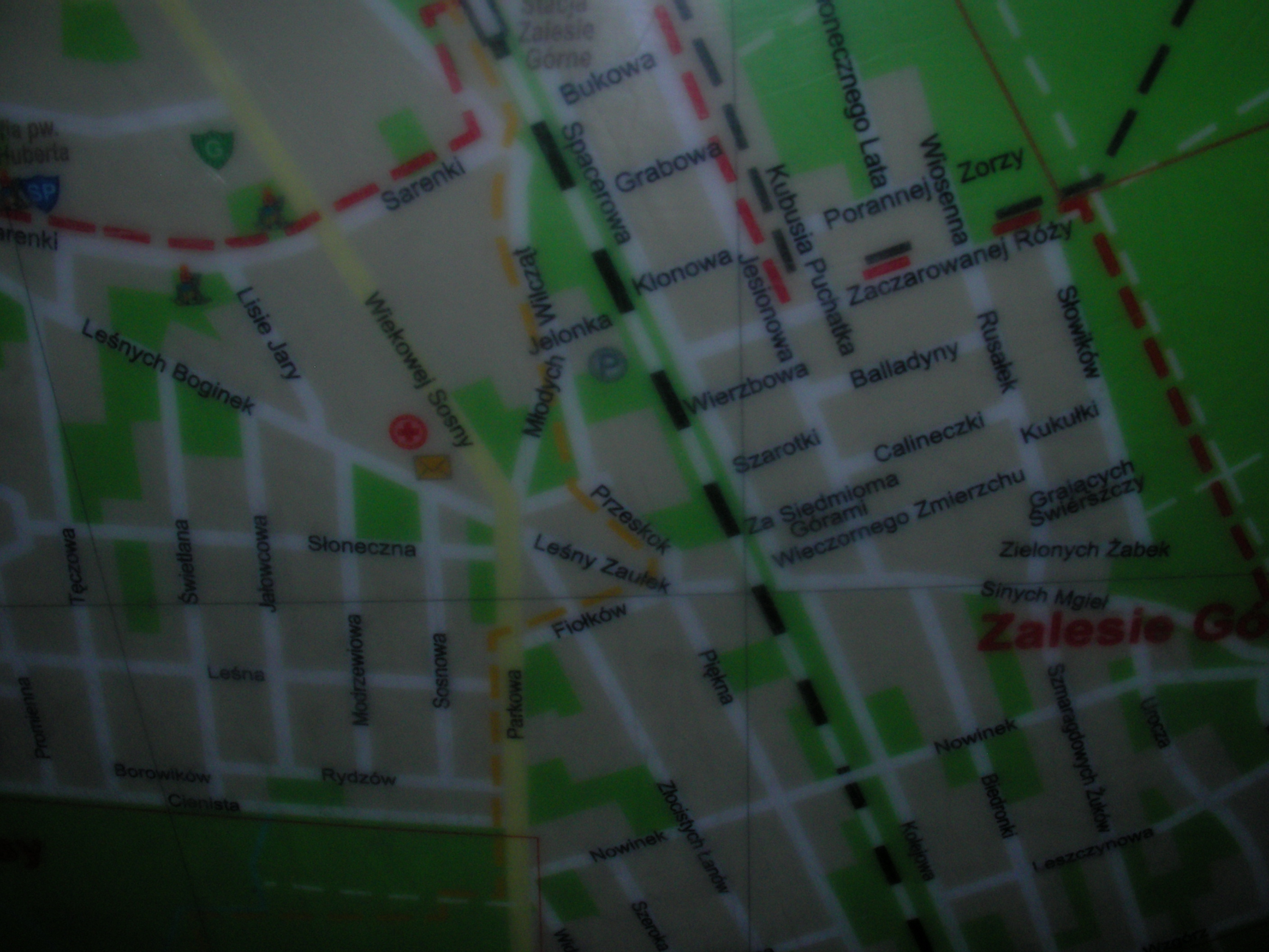
Zalesie Górne, Jesówka, Wólka Kozodawska, Łbiska, Nowinki
Operated by Piaseczno municipality (south of Warsaw), shows some of the nature reserves, trails and a street map of Jesówka, Zalesie Górna, Wólka Kozodawska. By the post office and bus stop. Approximate location.
- Top-right, Bottom, Left, Top-left, Bottom, Bottom, Middle, Top, Top-left, Left, Bottom, Middle, Legend.
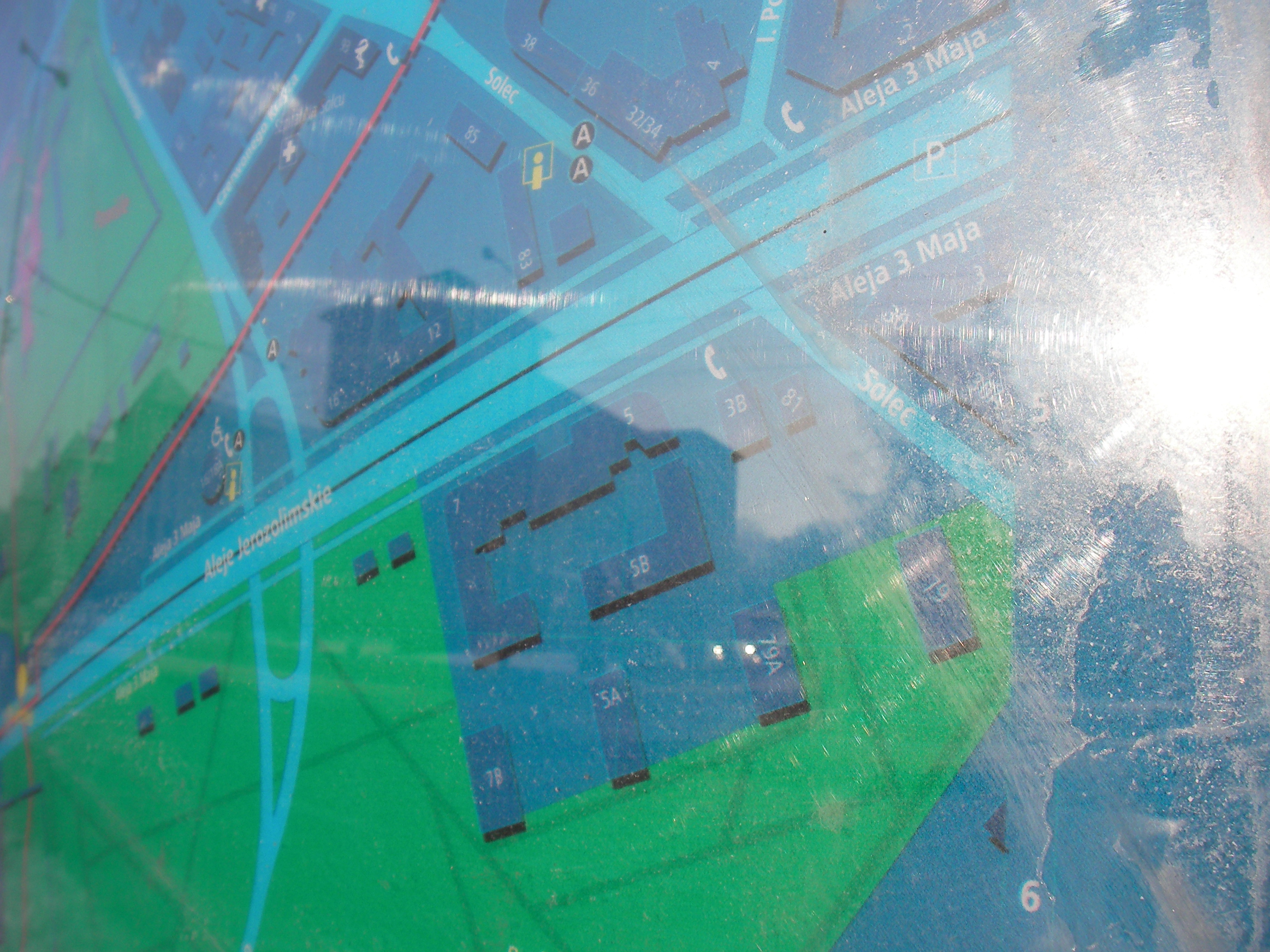
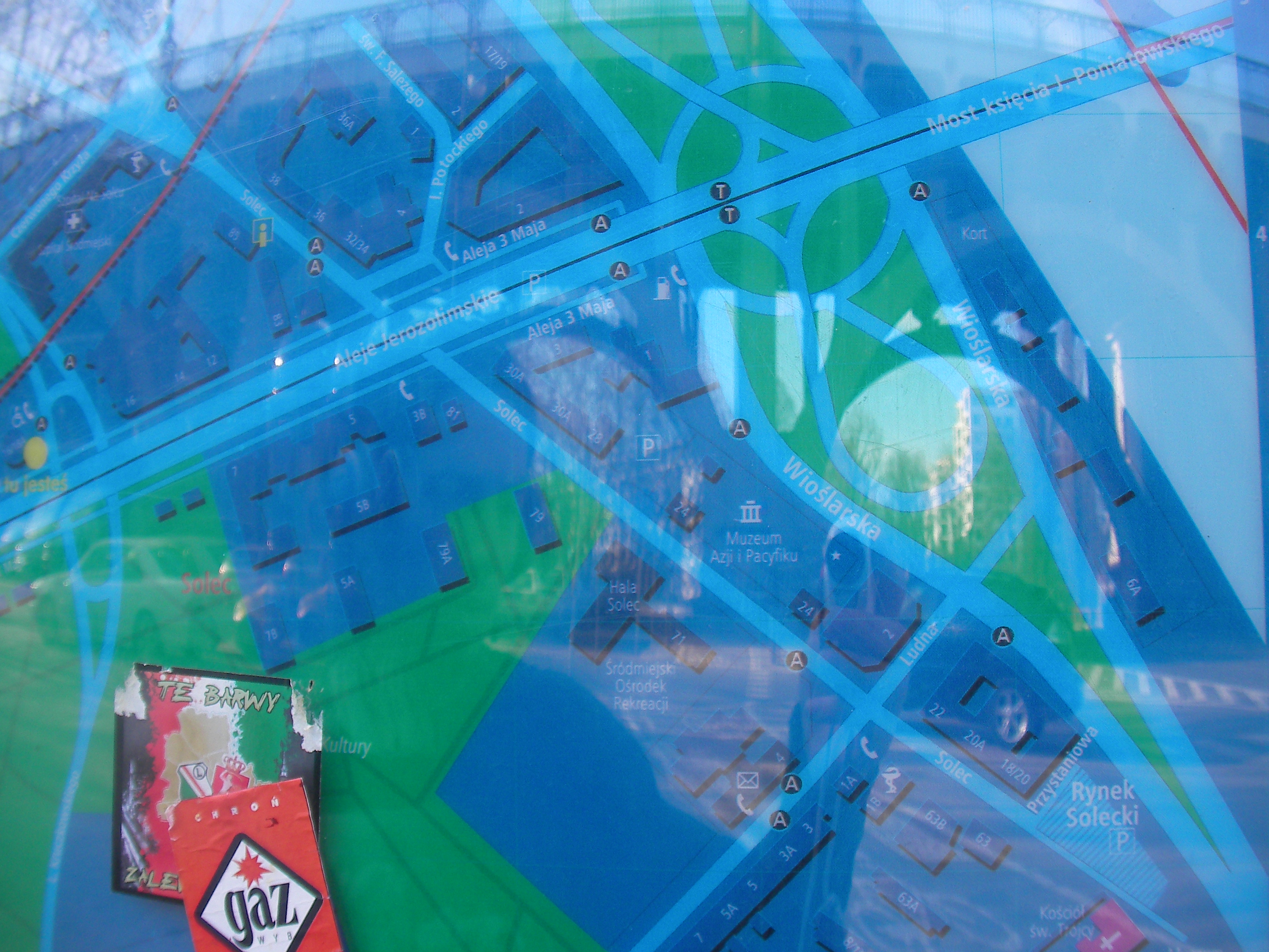
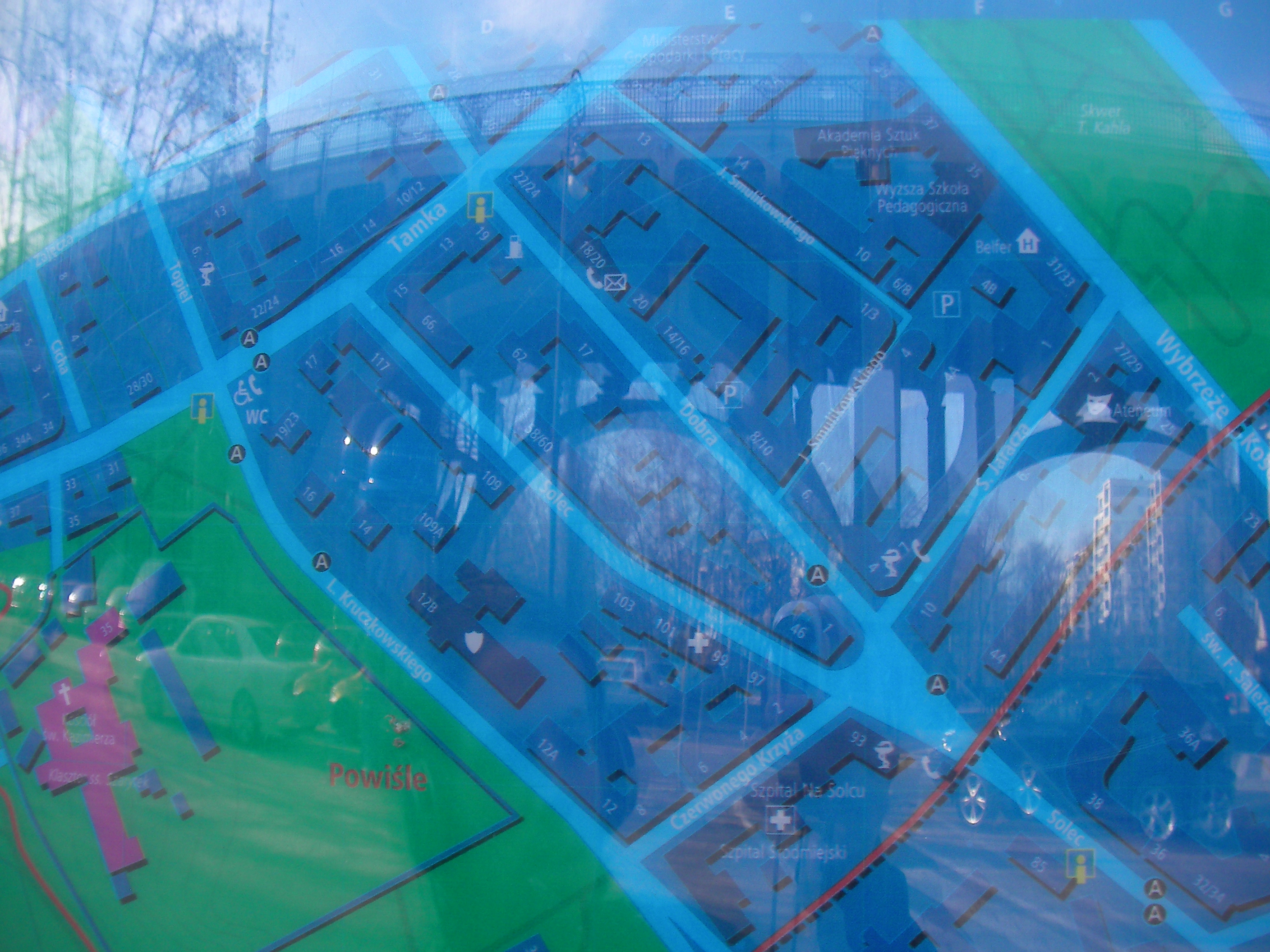
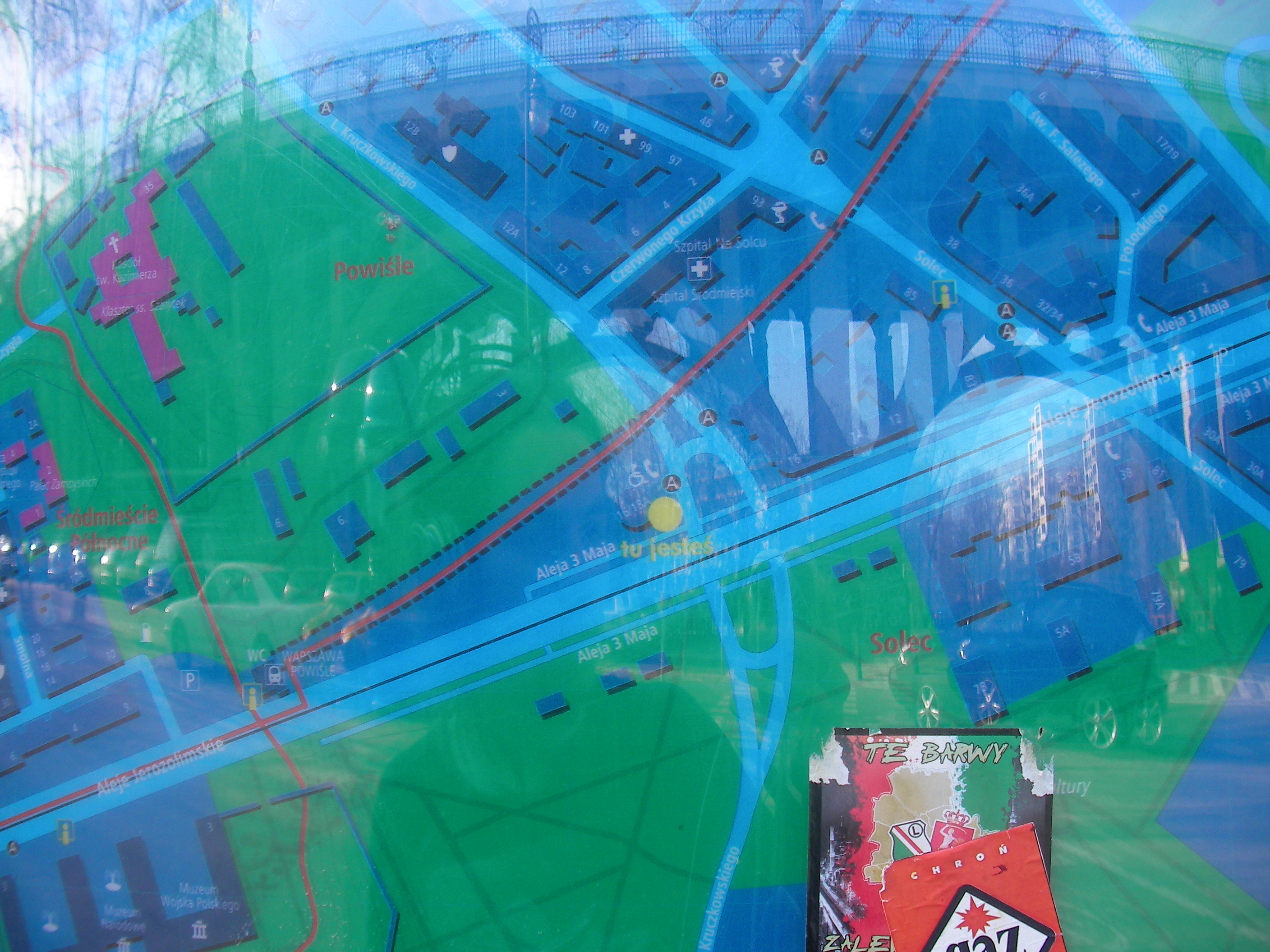
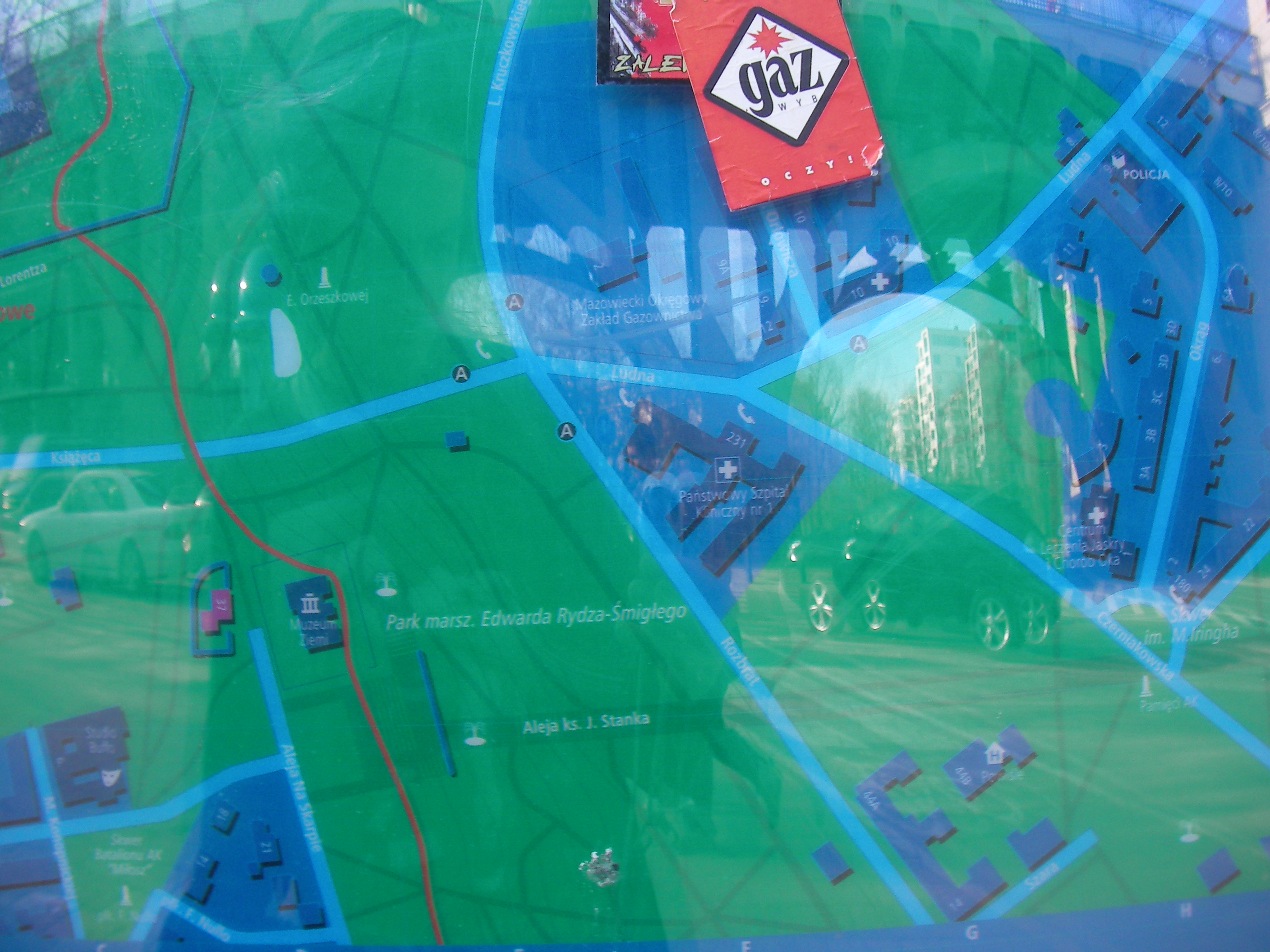
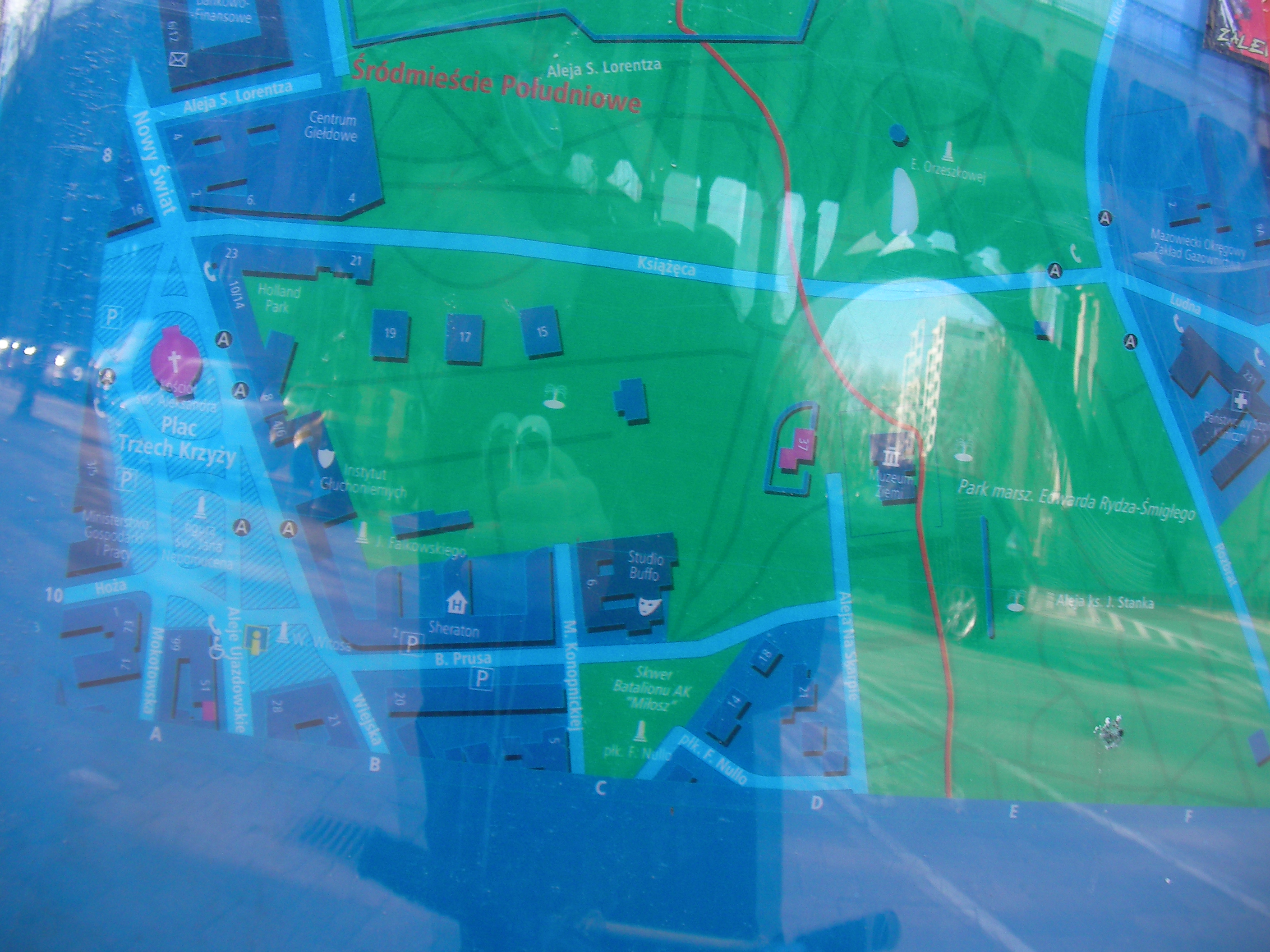
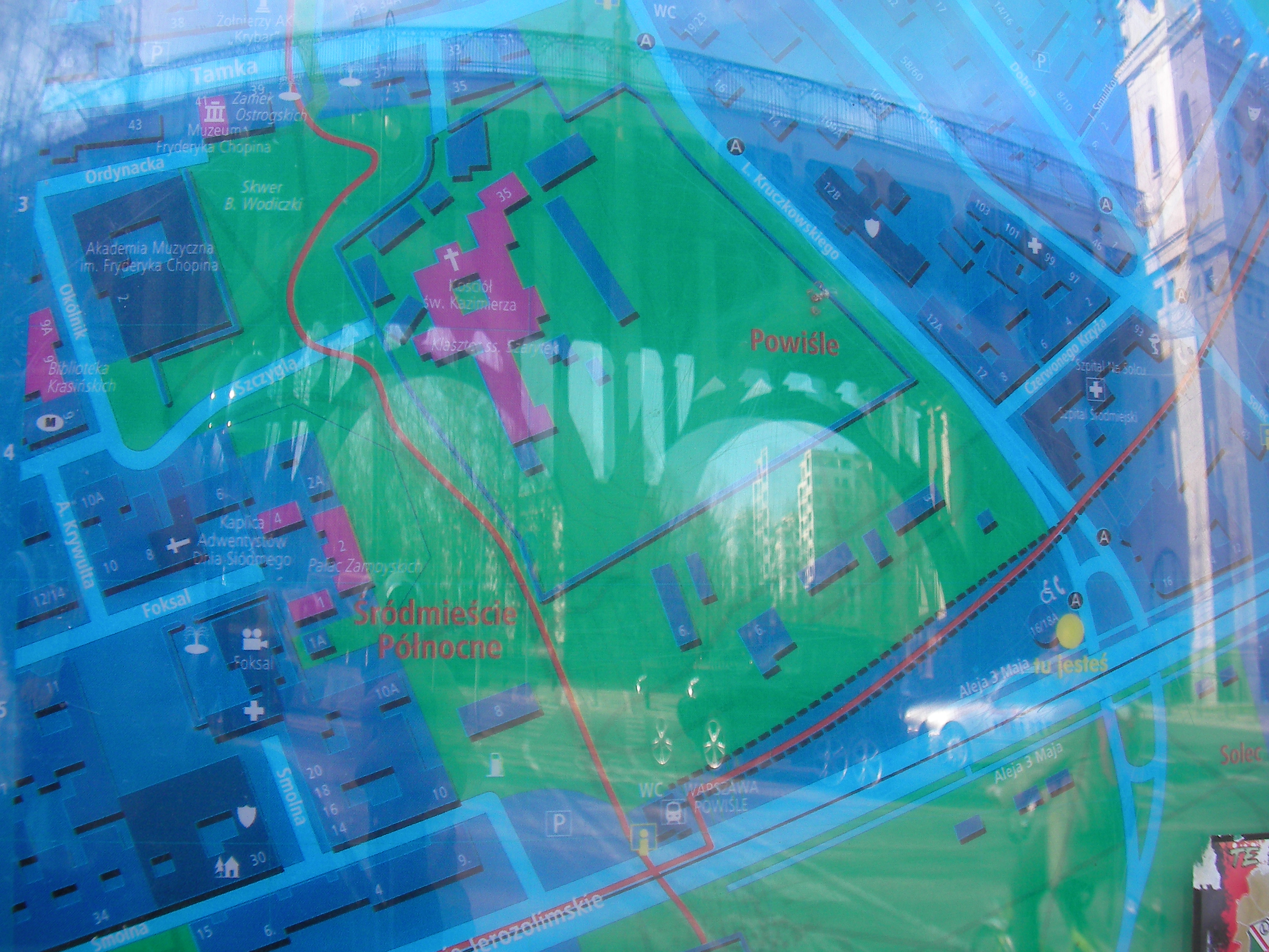
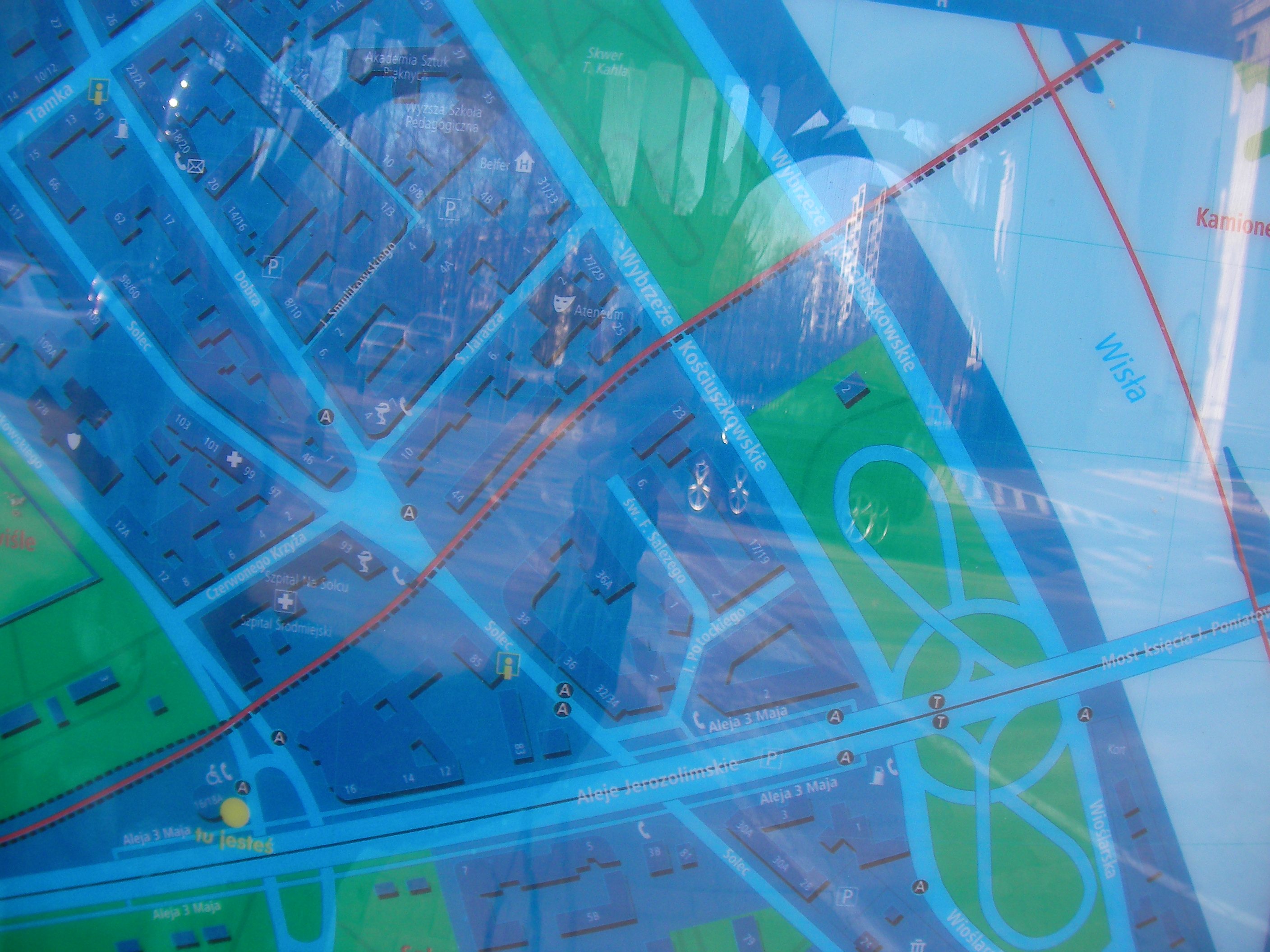
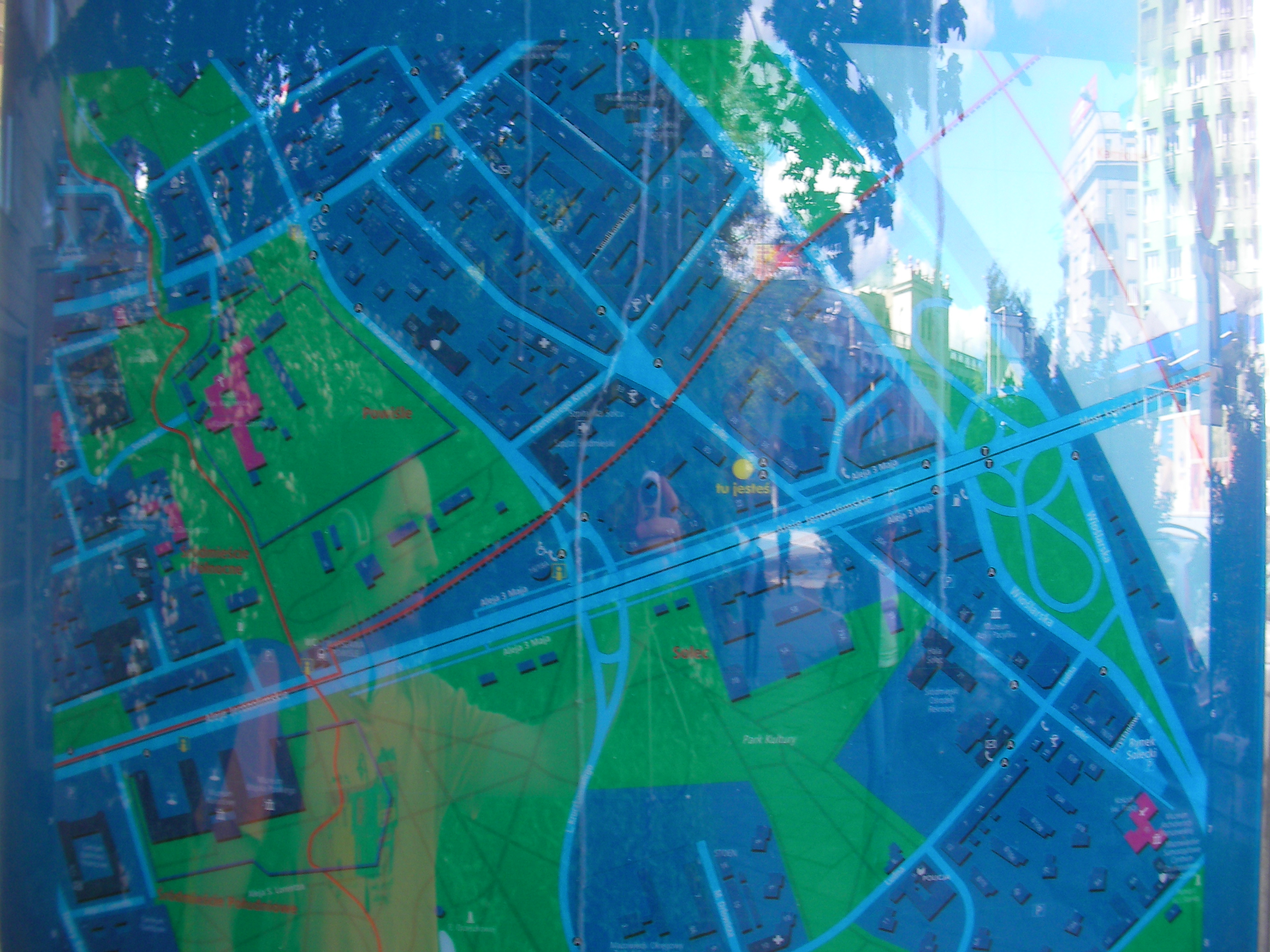
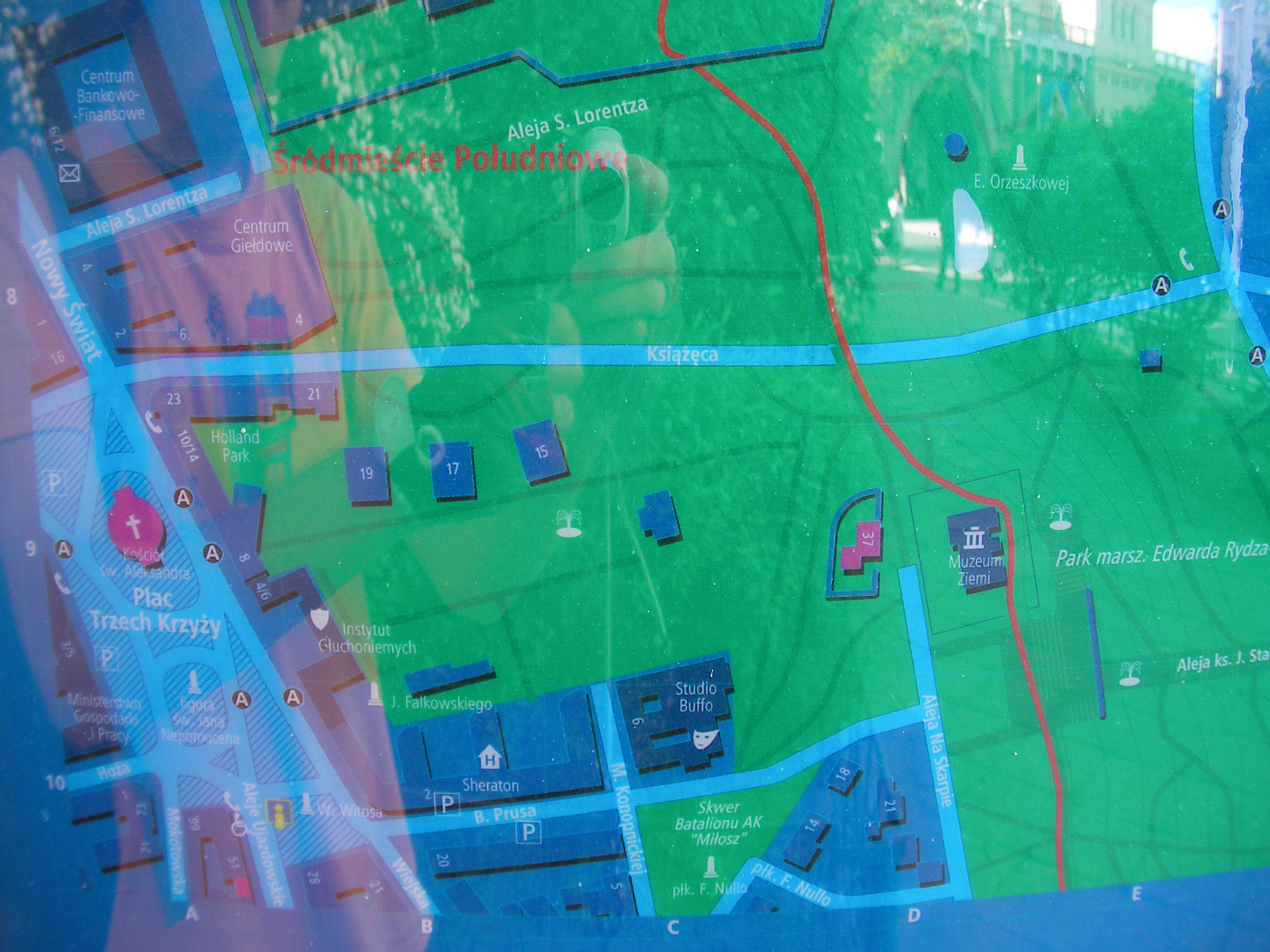
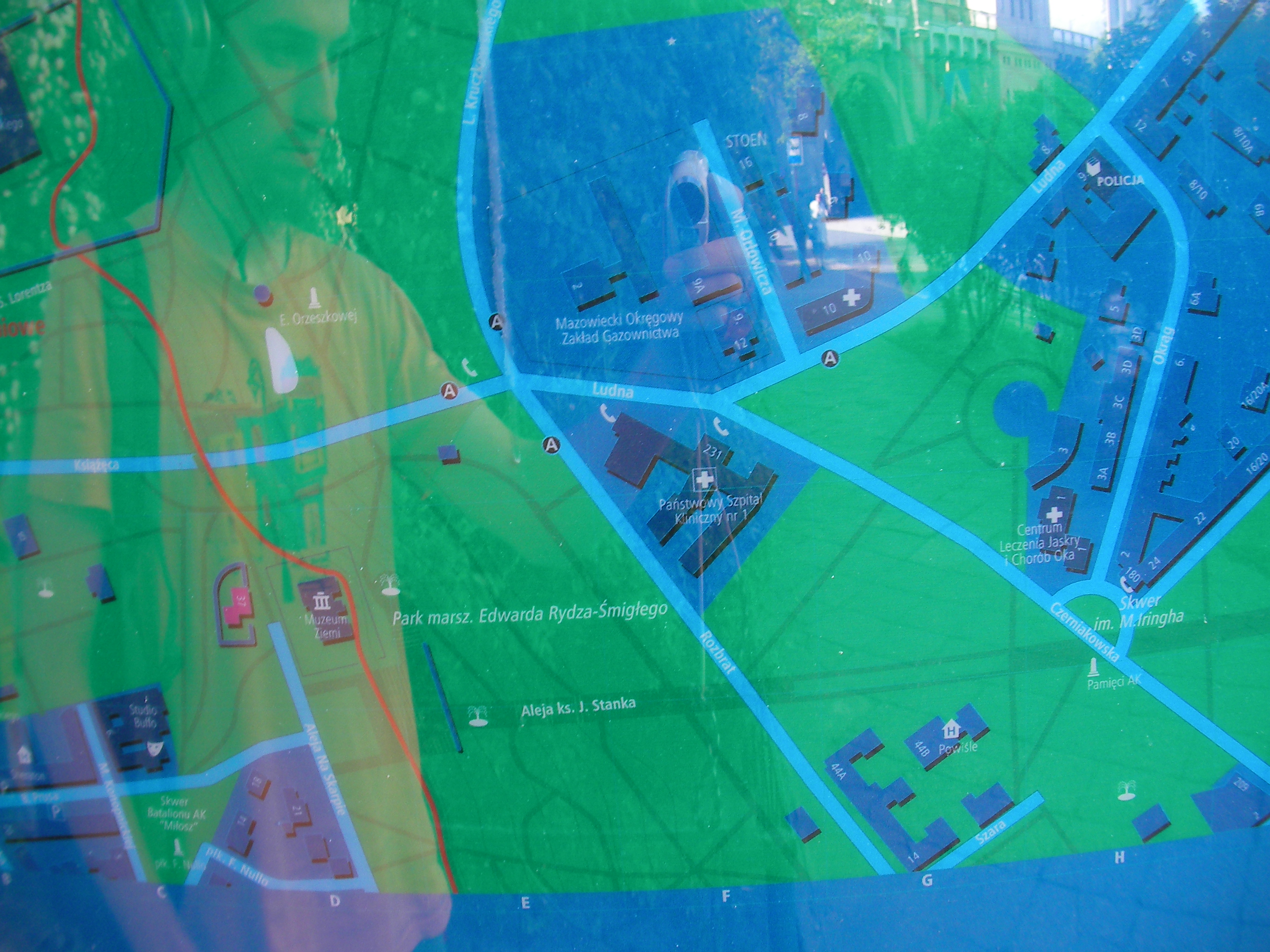
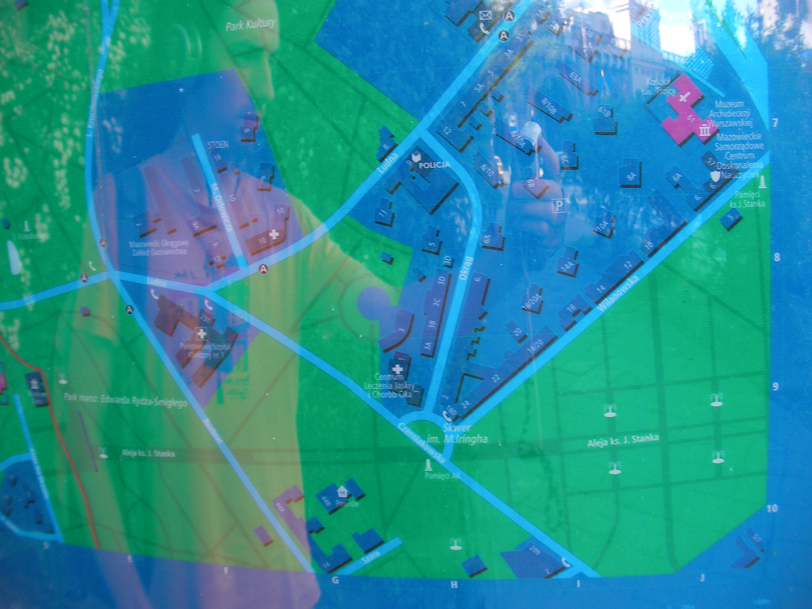
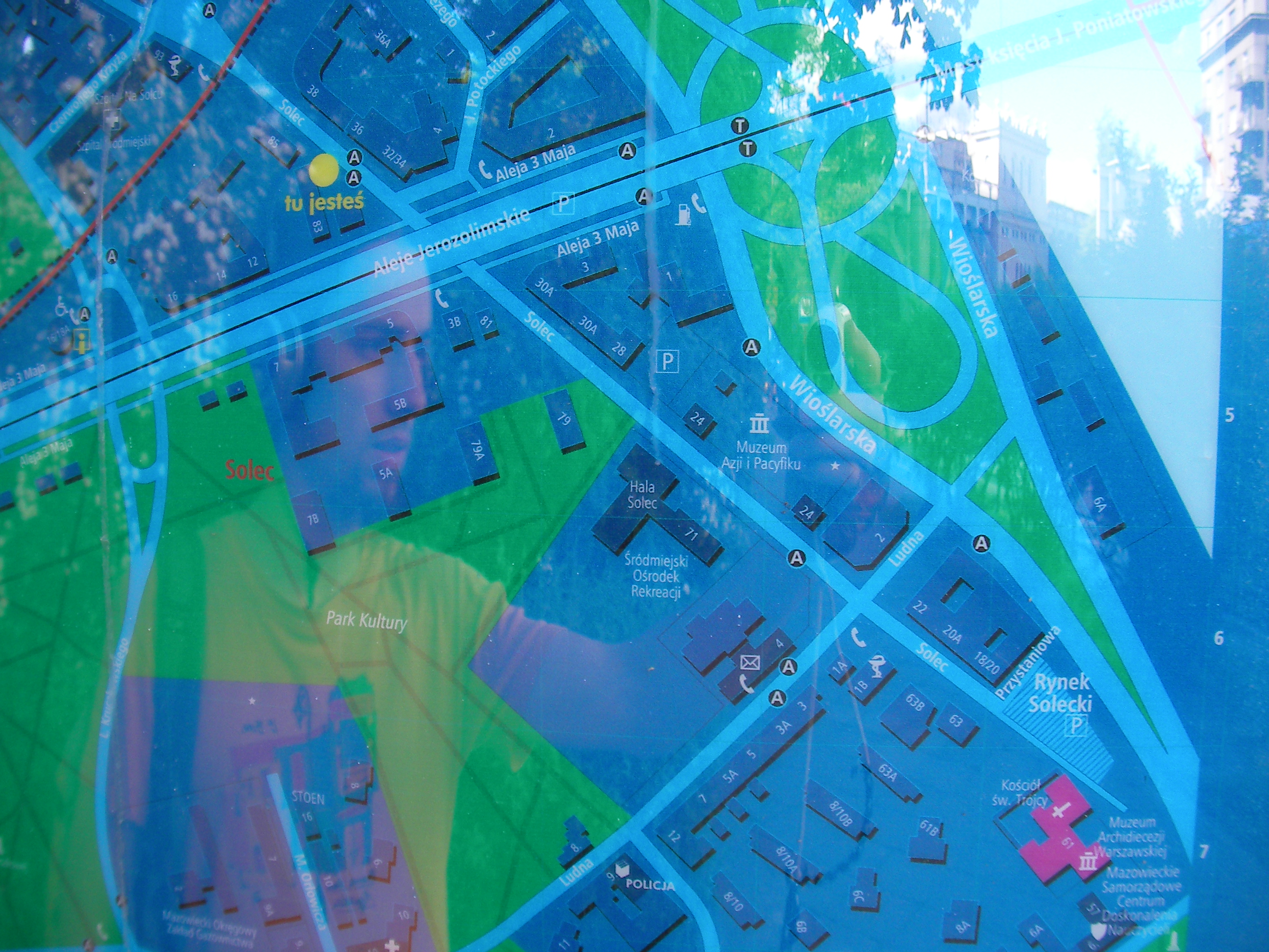
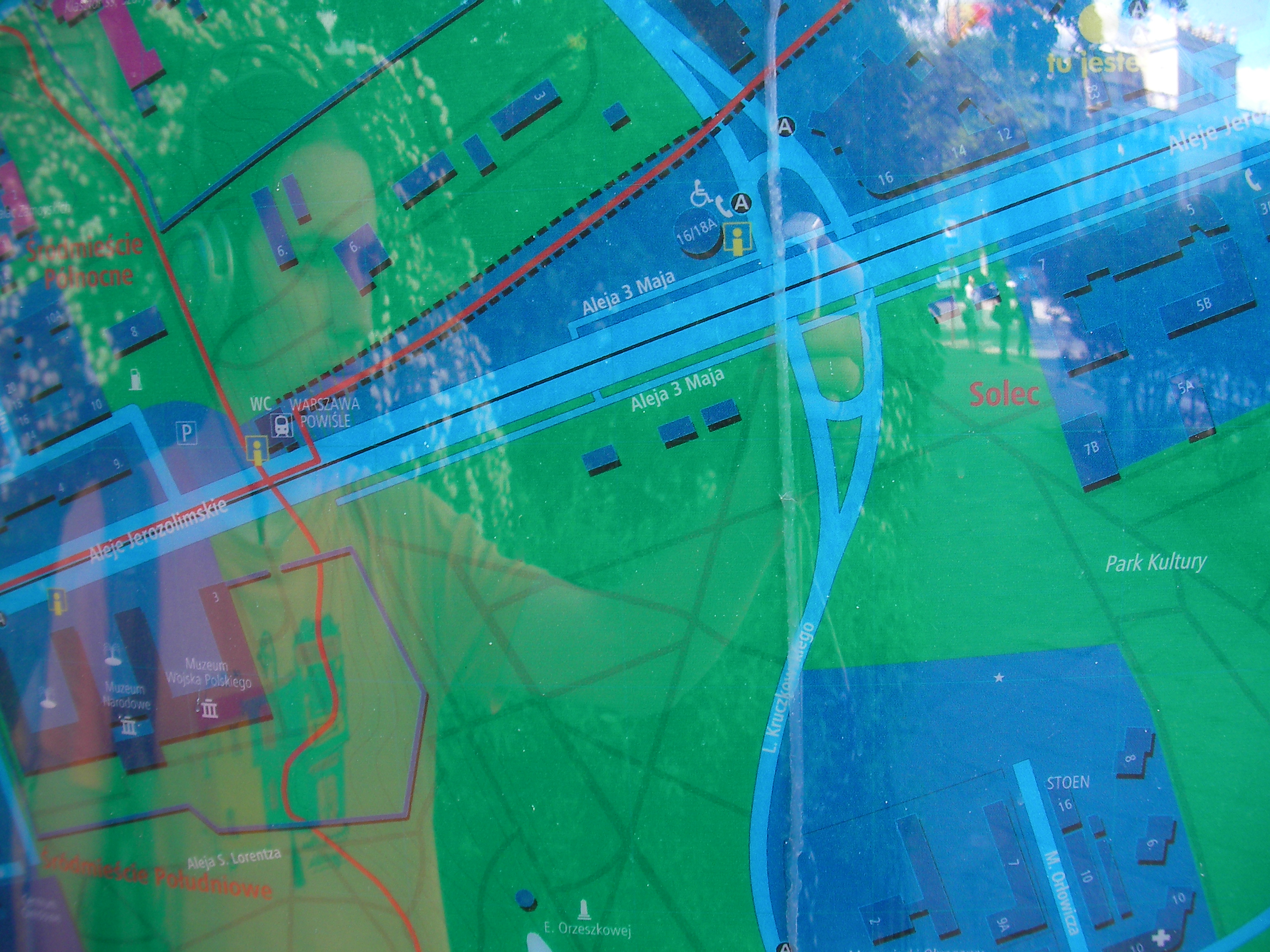
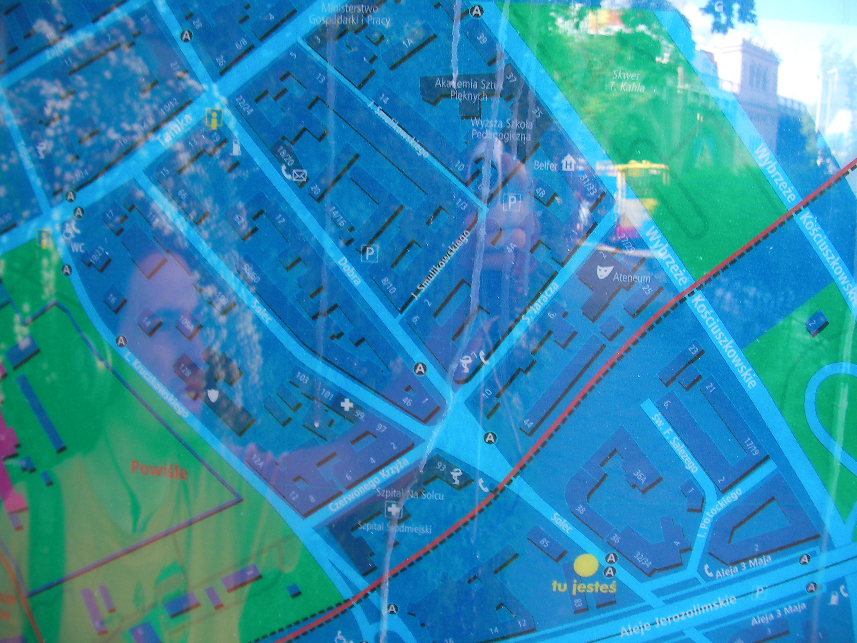
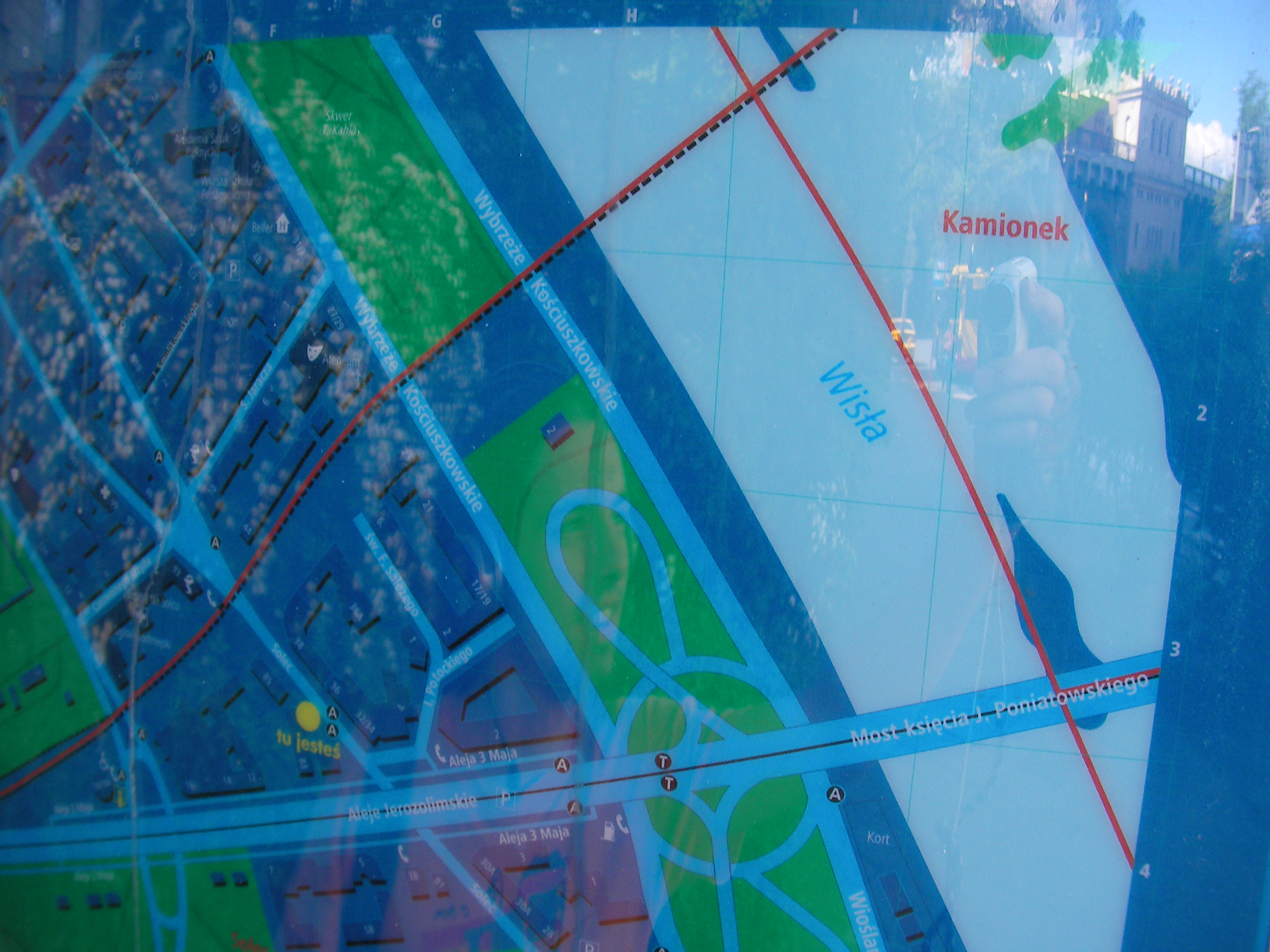
Solec
Kruczkowskiego, 3 Maja, Aleje Jerozolimskie streets, by the stairs to Powiśle train station and cycleway. Approximate location.
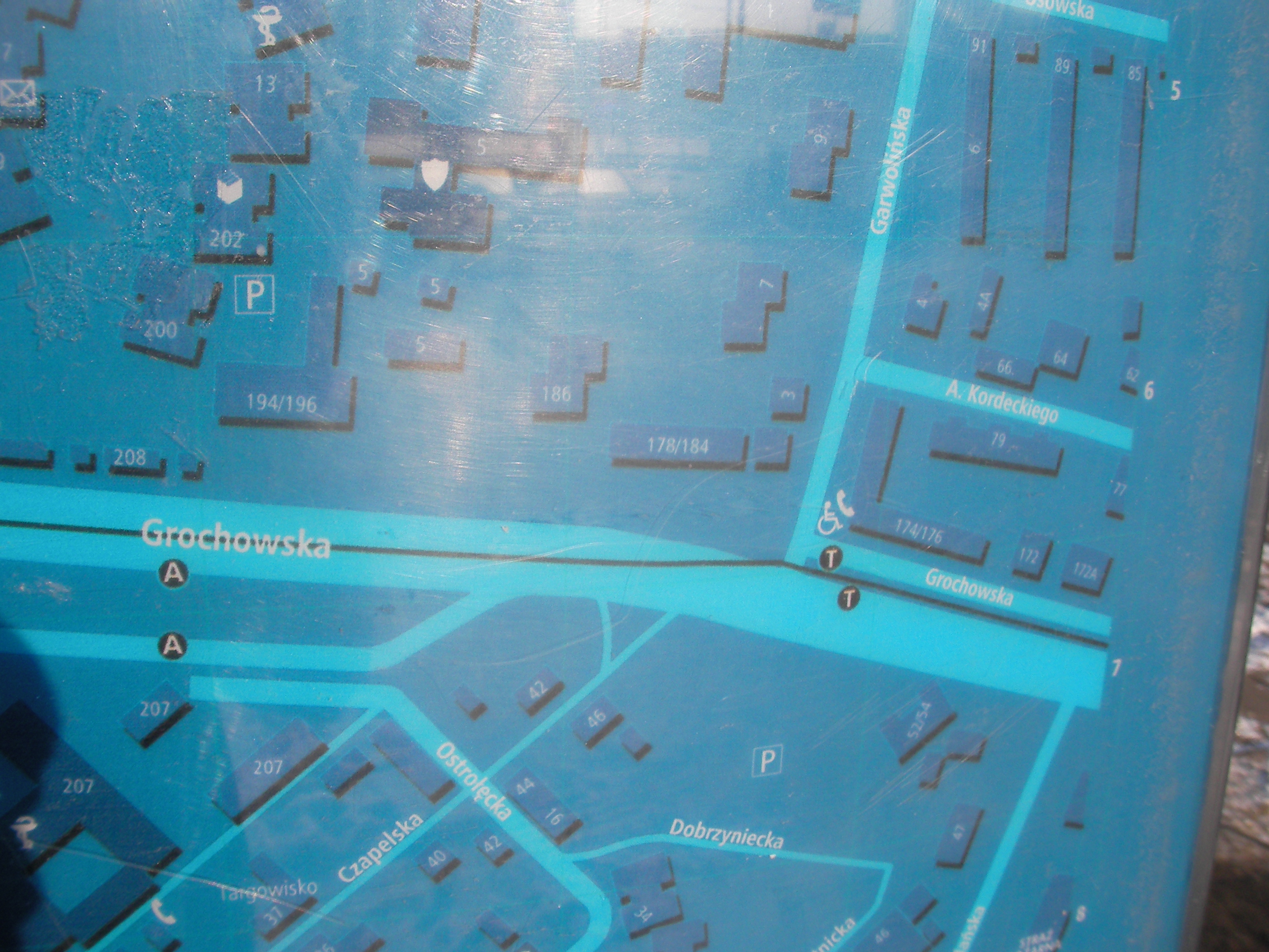
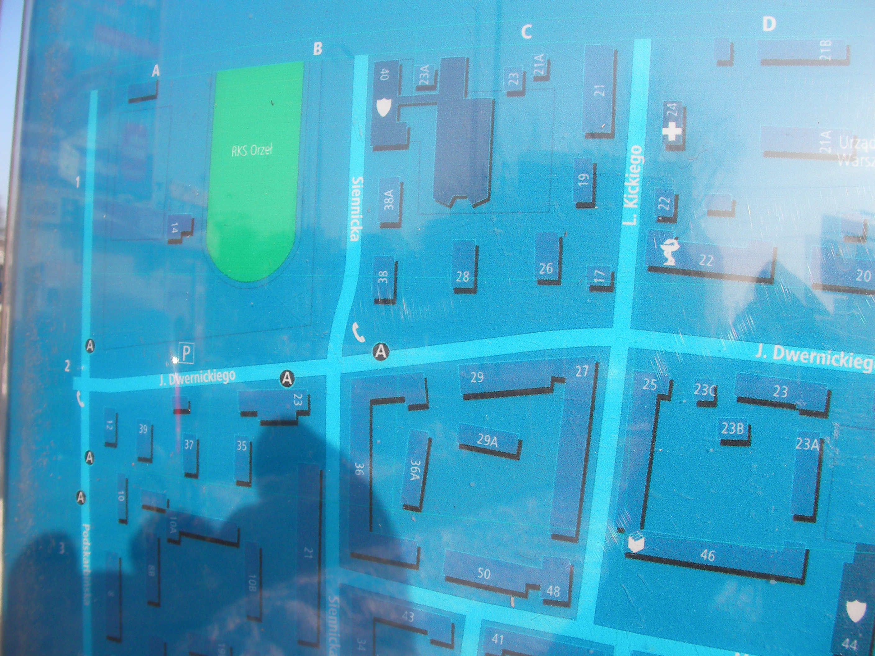
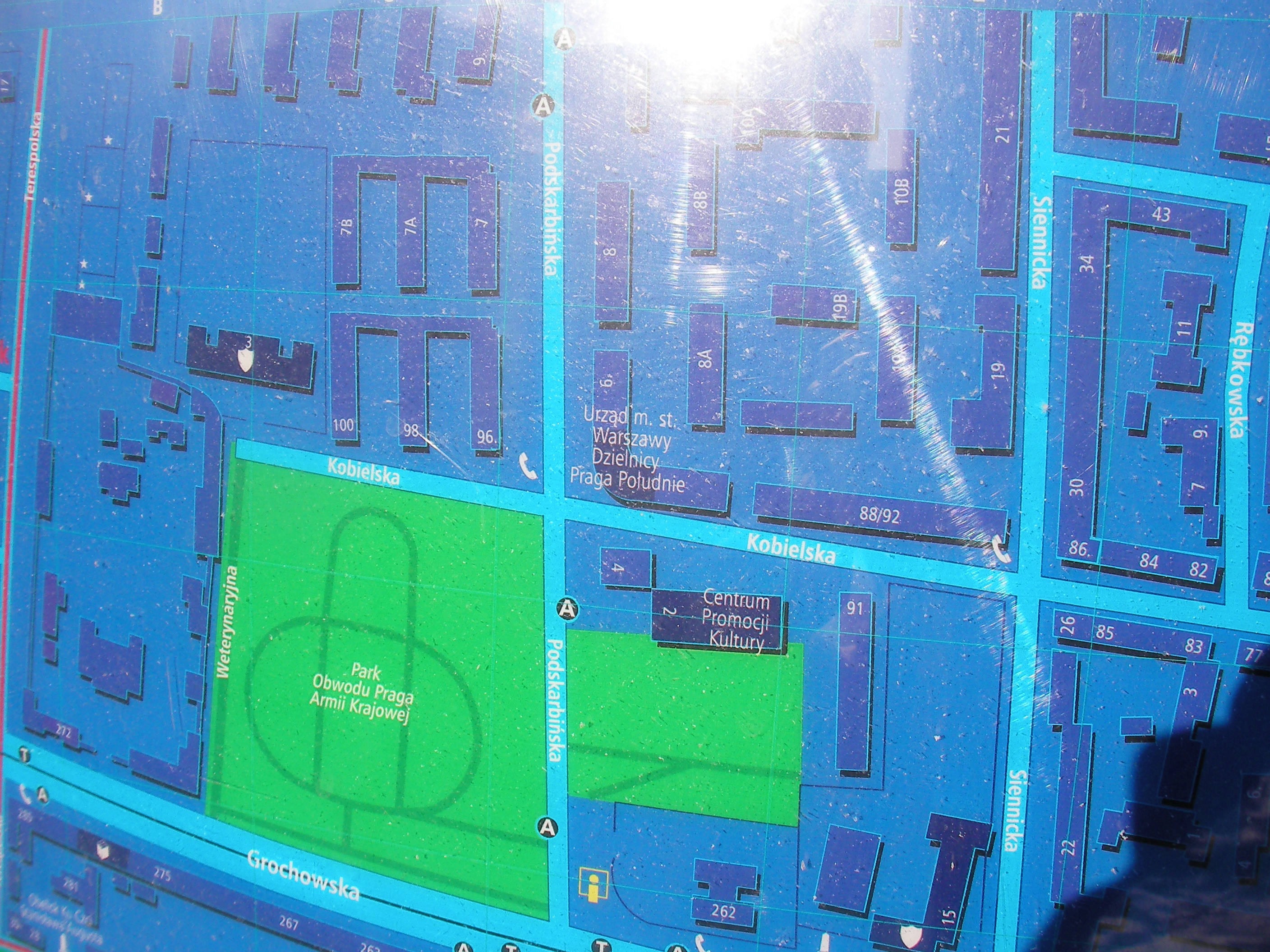
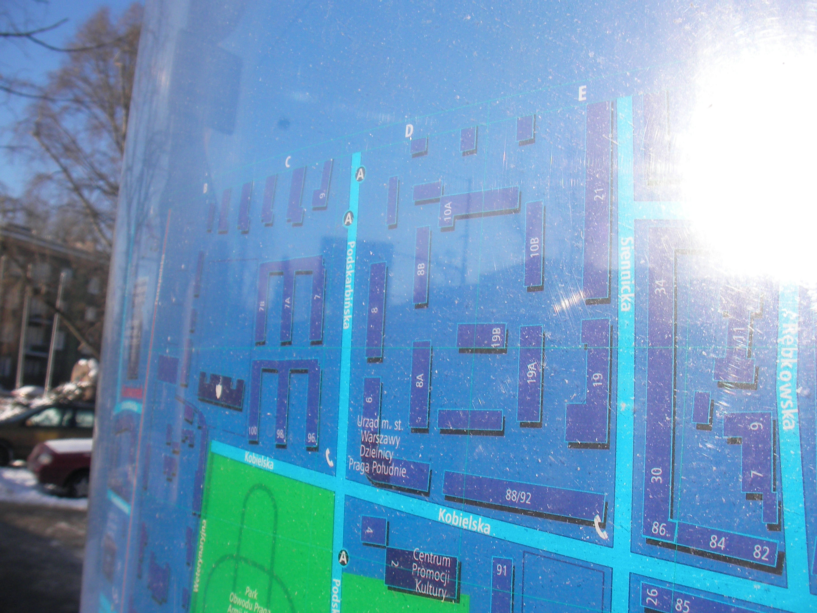
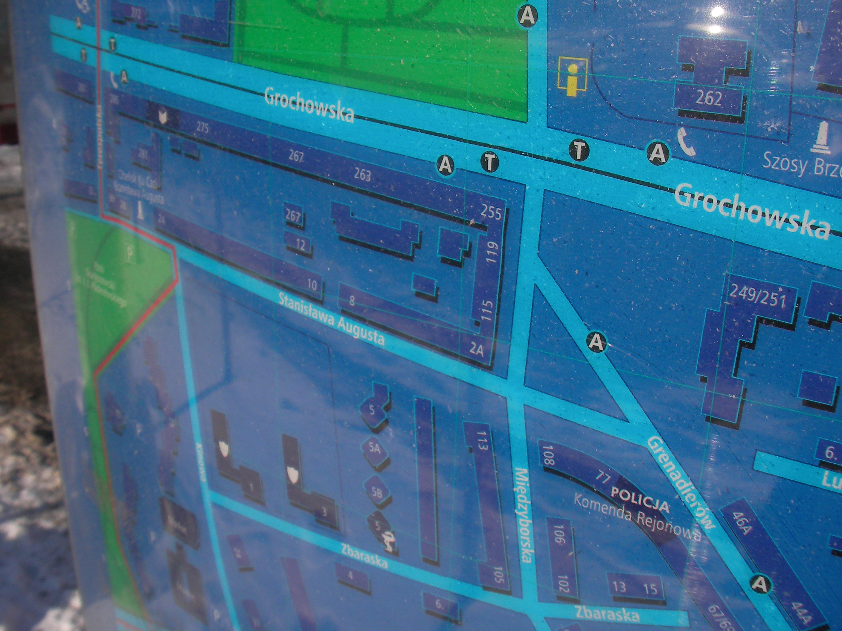
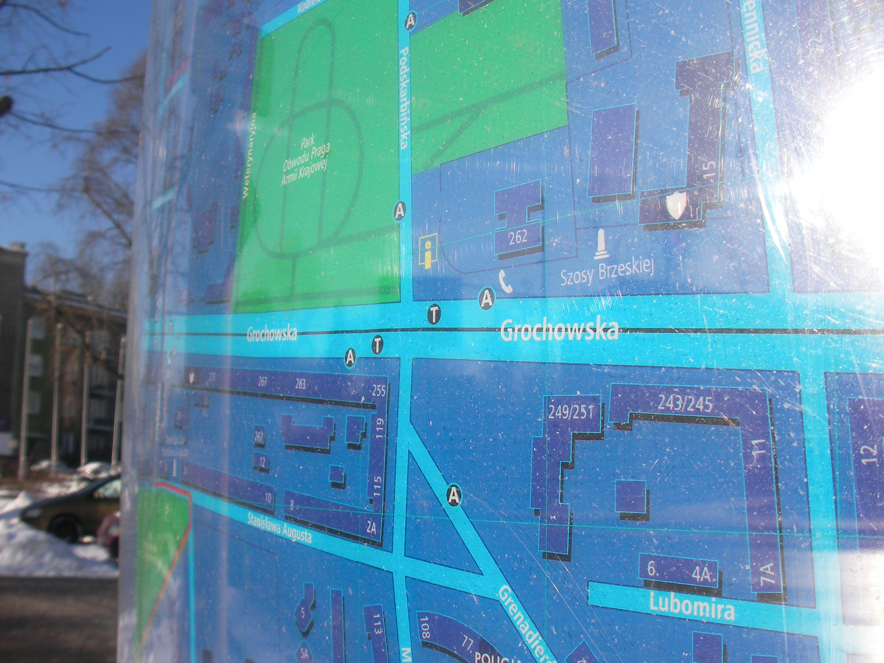
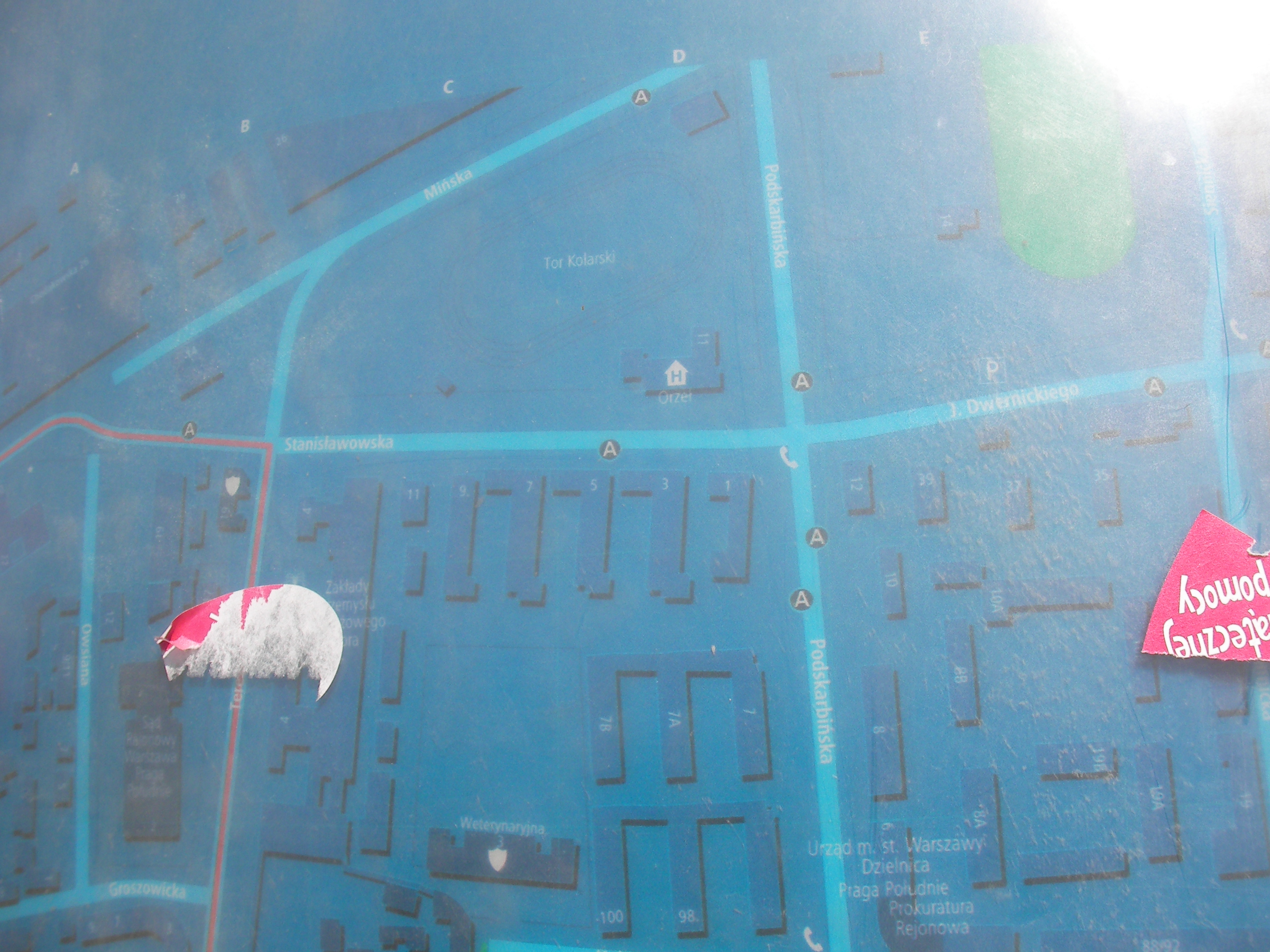
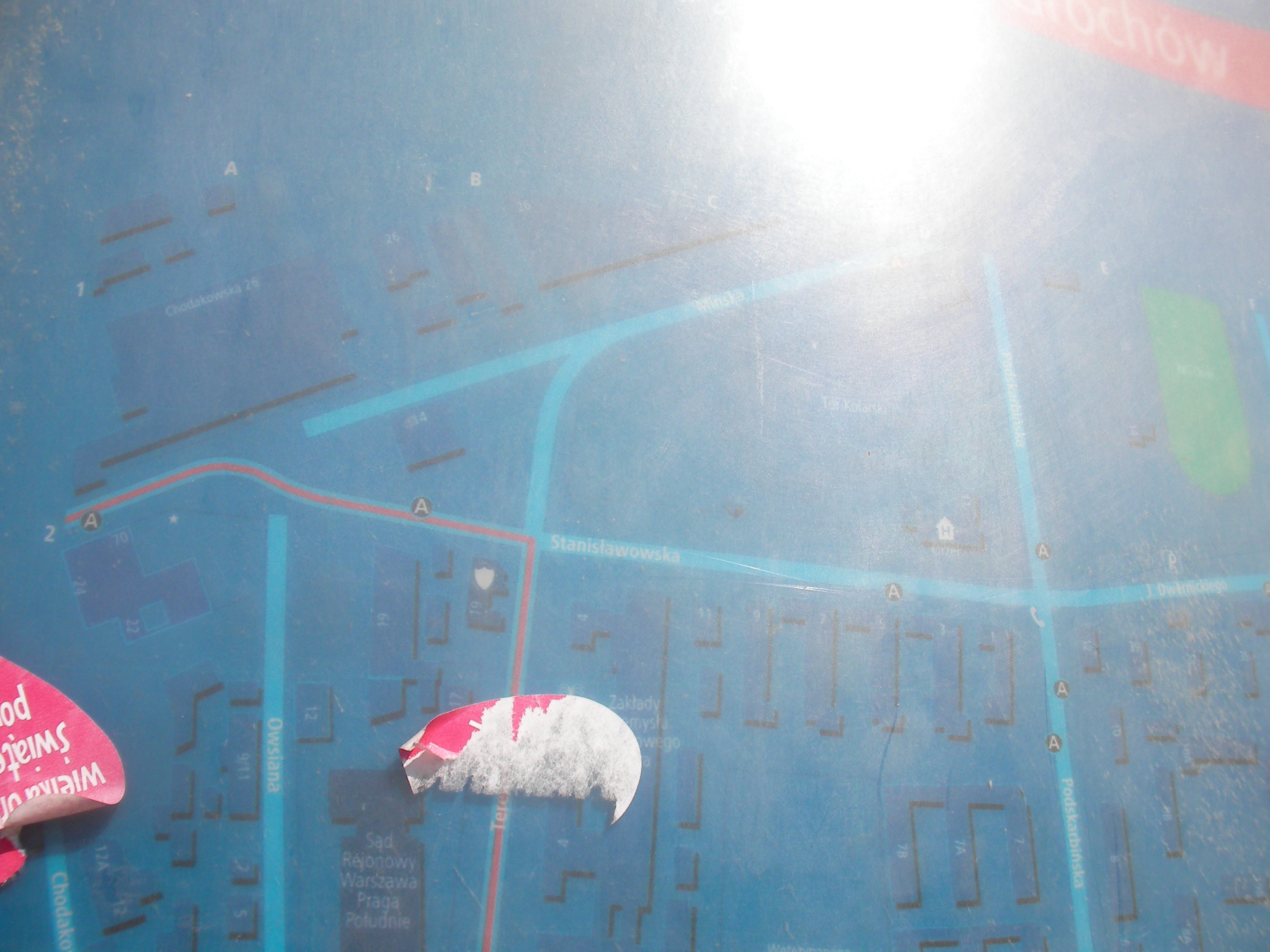
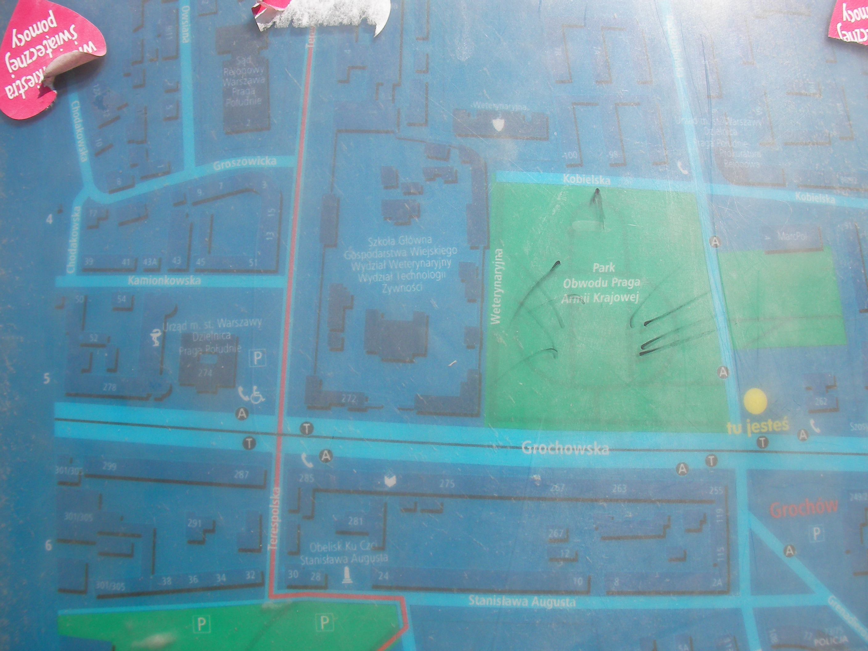
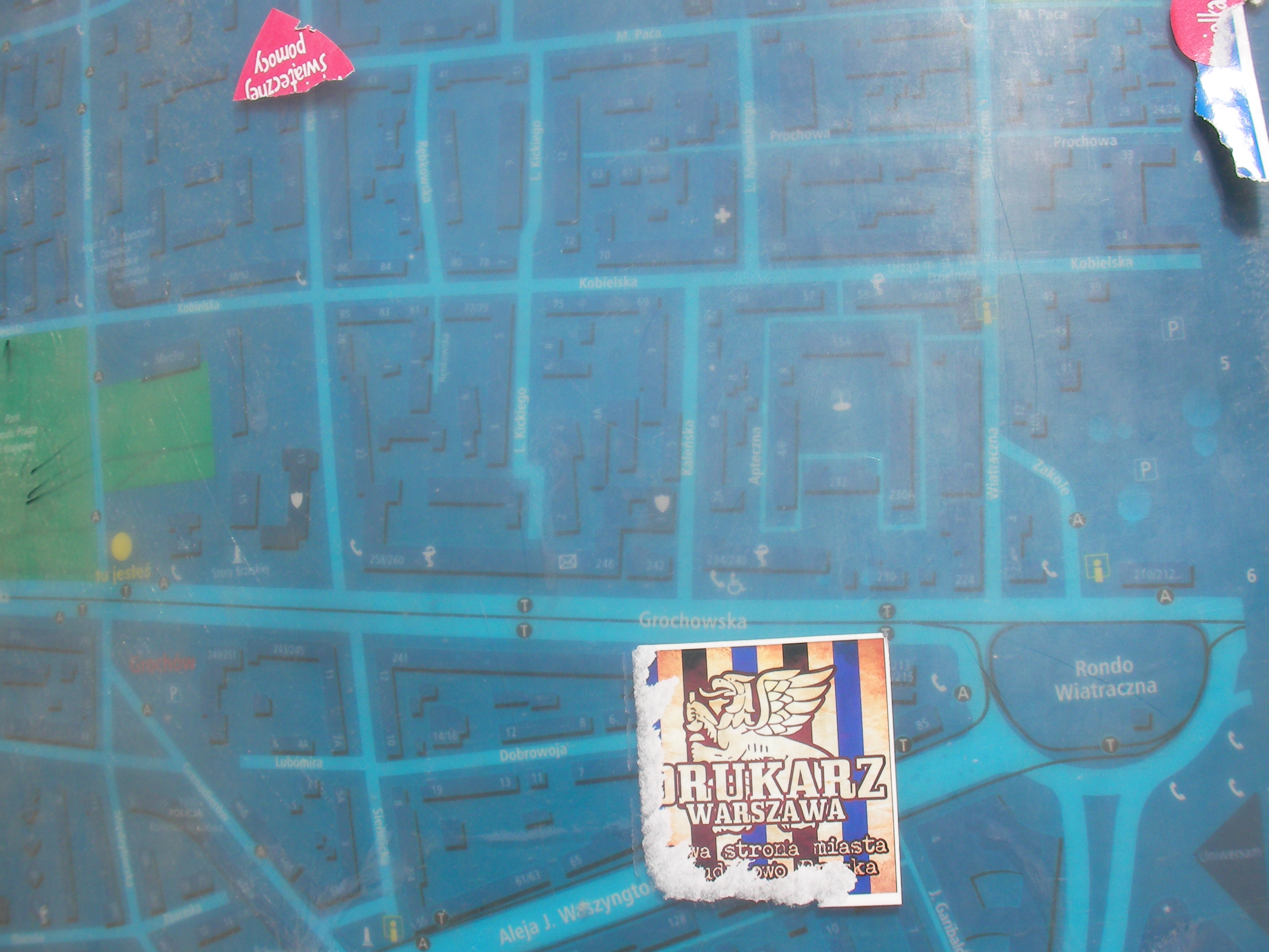
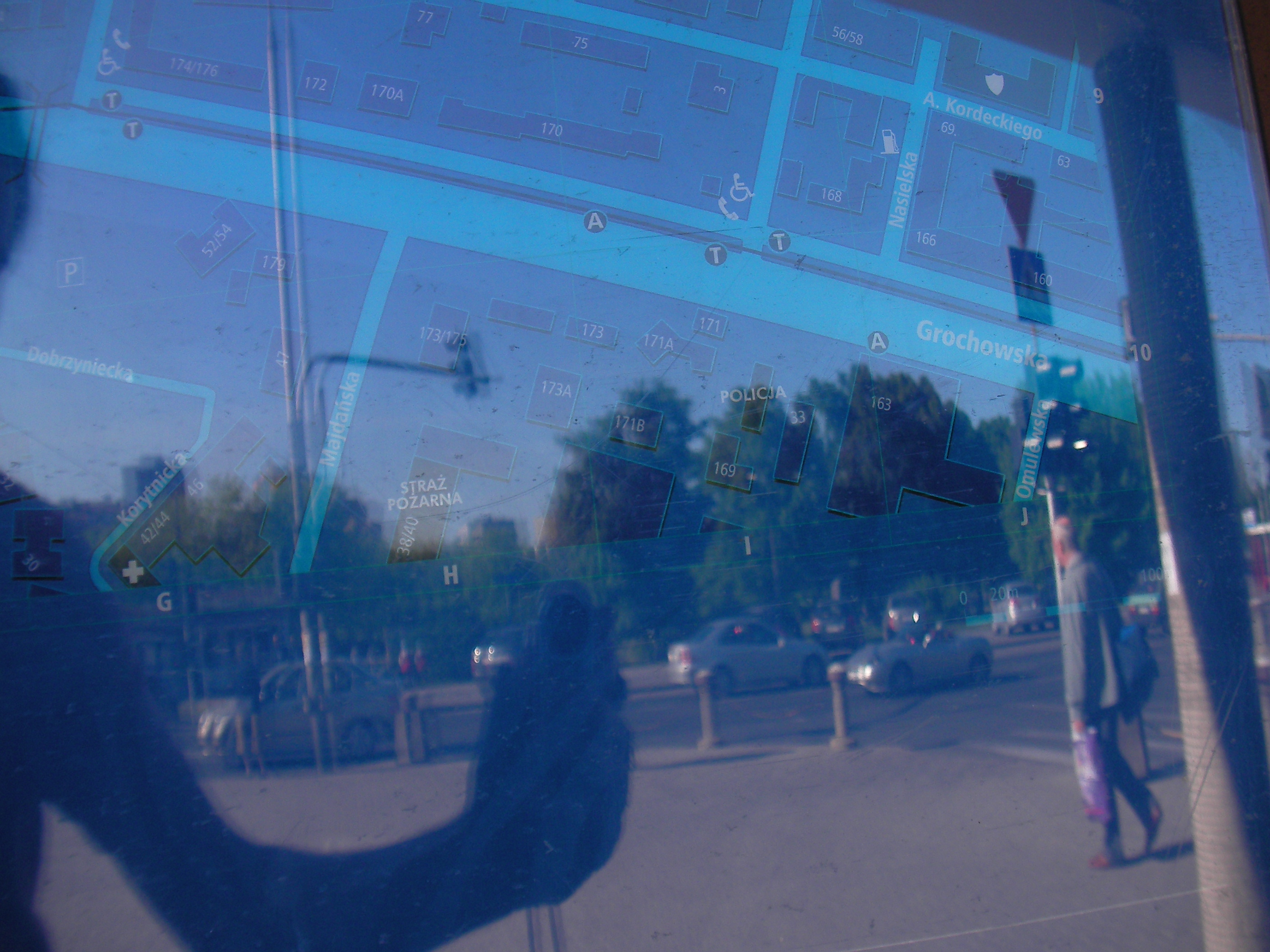
Podskarbińska
At the crossing of Grochowska and Podskarbińska streets. Approximate location.
- Top-right, Top, Top-left, Left, Middle, Right, Bottom-right, Bottom, Bottom-left, Top, Right, Top-left.
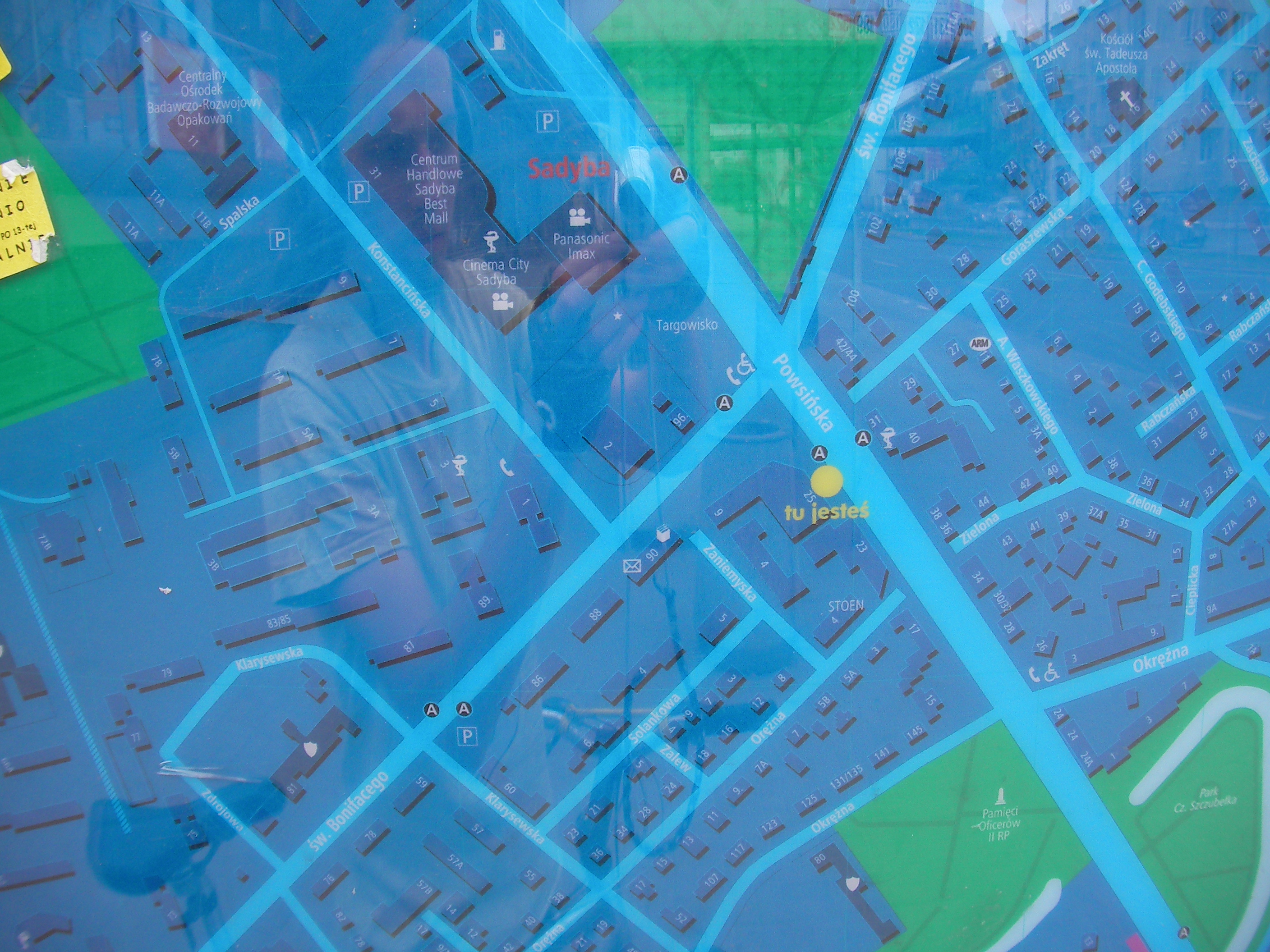
Sadyba (Powsińska)
Crossing of Powsińska with Św. Bonifacego. Approximate location.
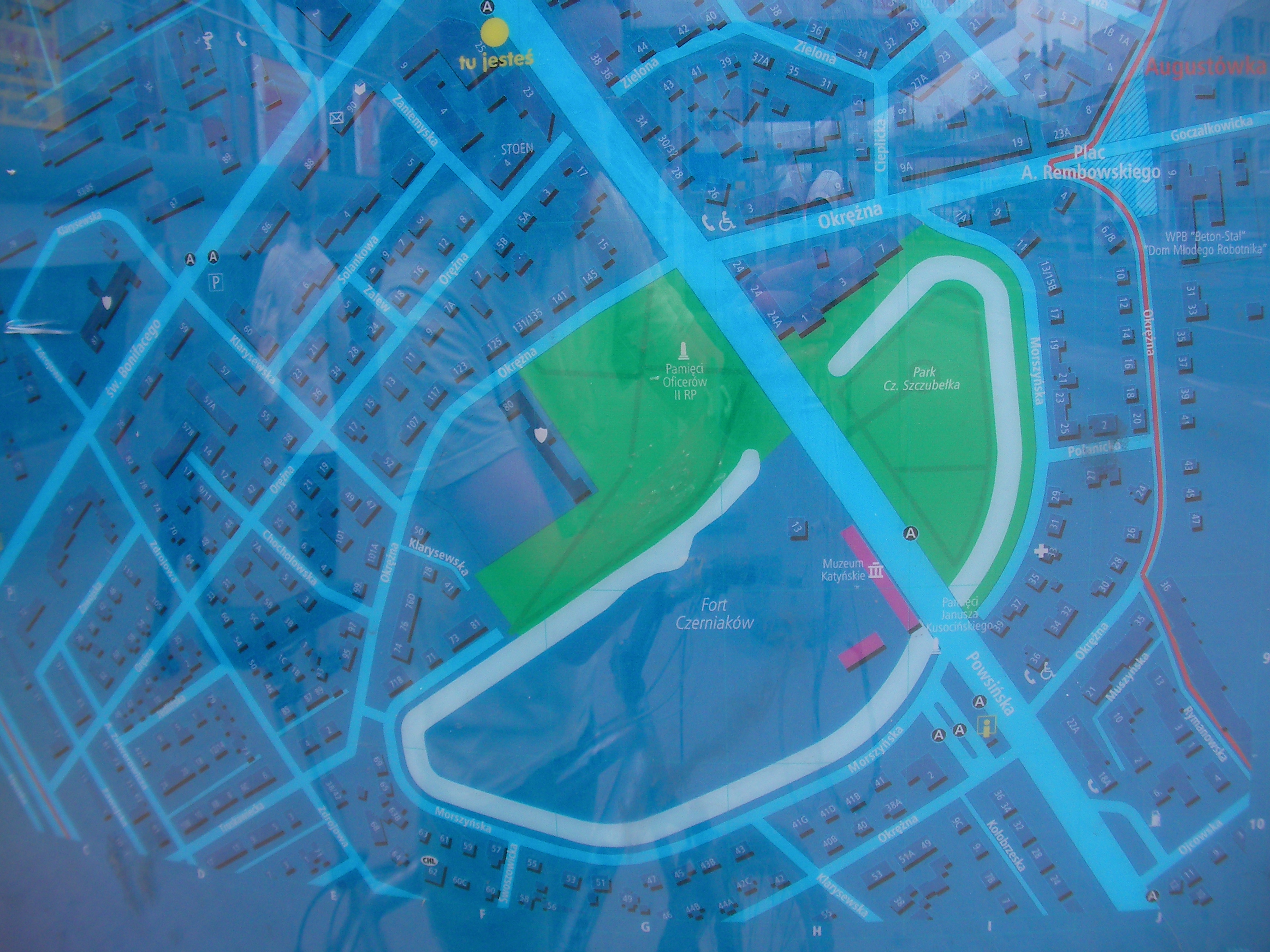
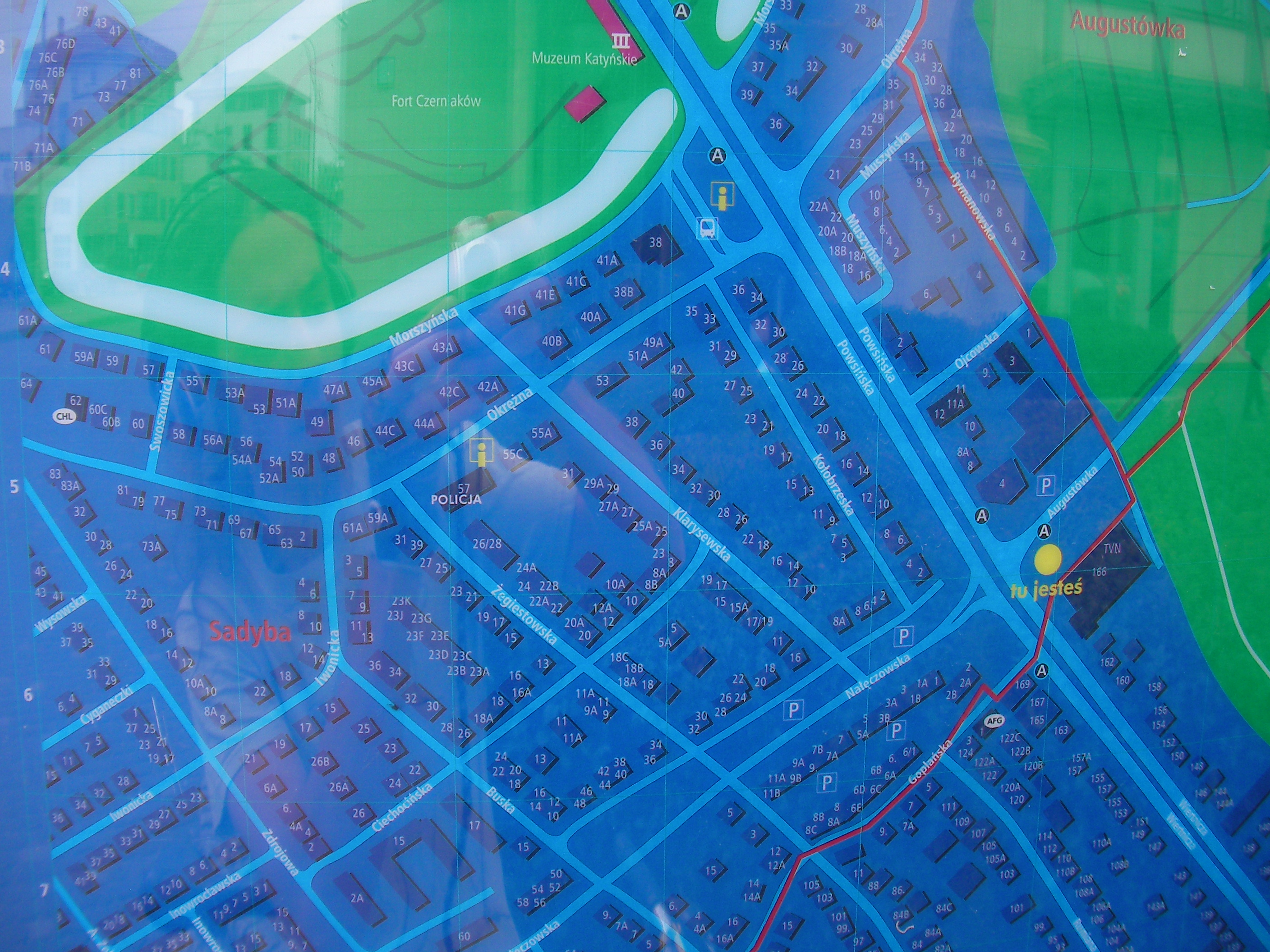
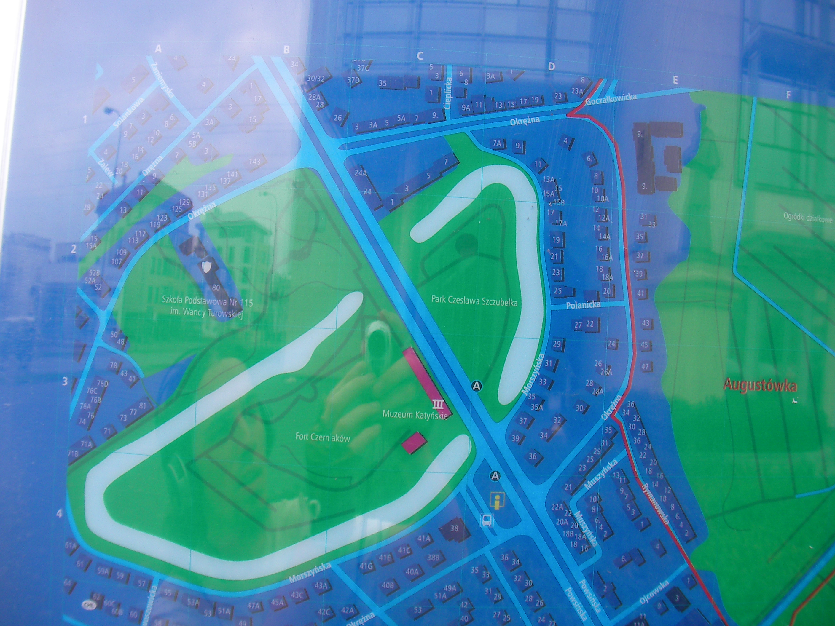
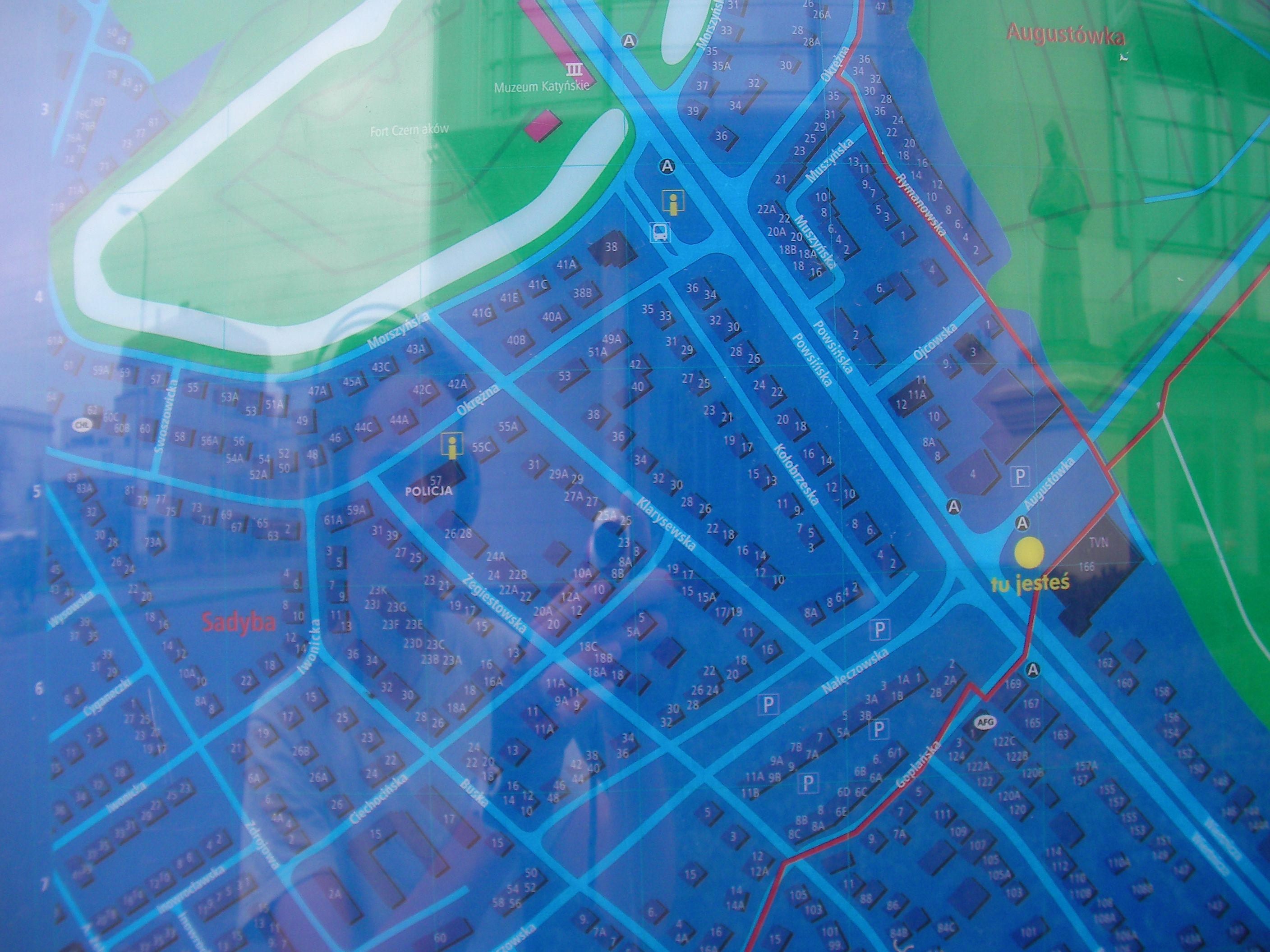
Sadyba (Augustówka)
Powsińska and Augustówka streets, in front of TVN hq, between Sadyba and Wilanów districts. Approximate location.
- Bottom-right, Bottom, Bottom-left, Left, Middle, Right, Top-right, Top, Top-left, Left.
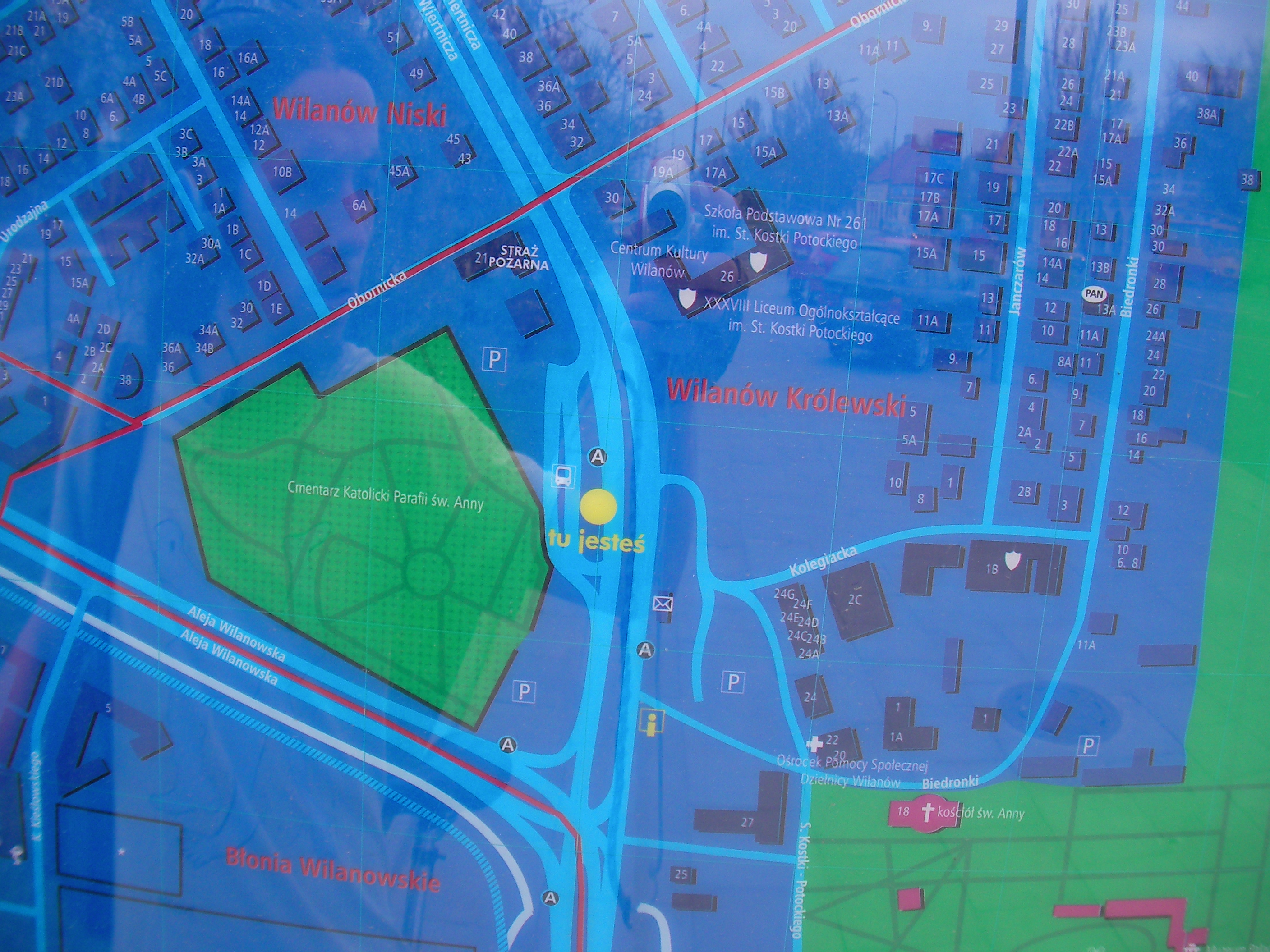
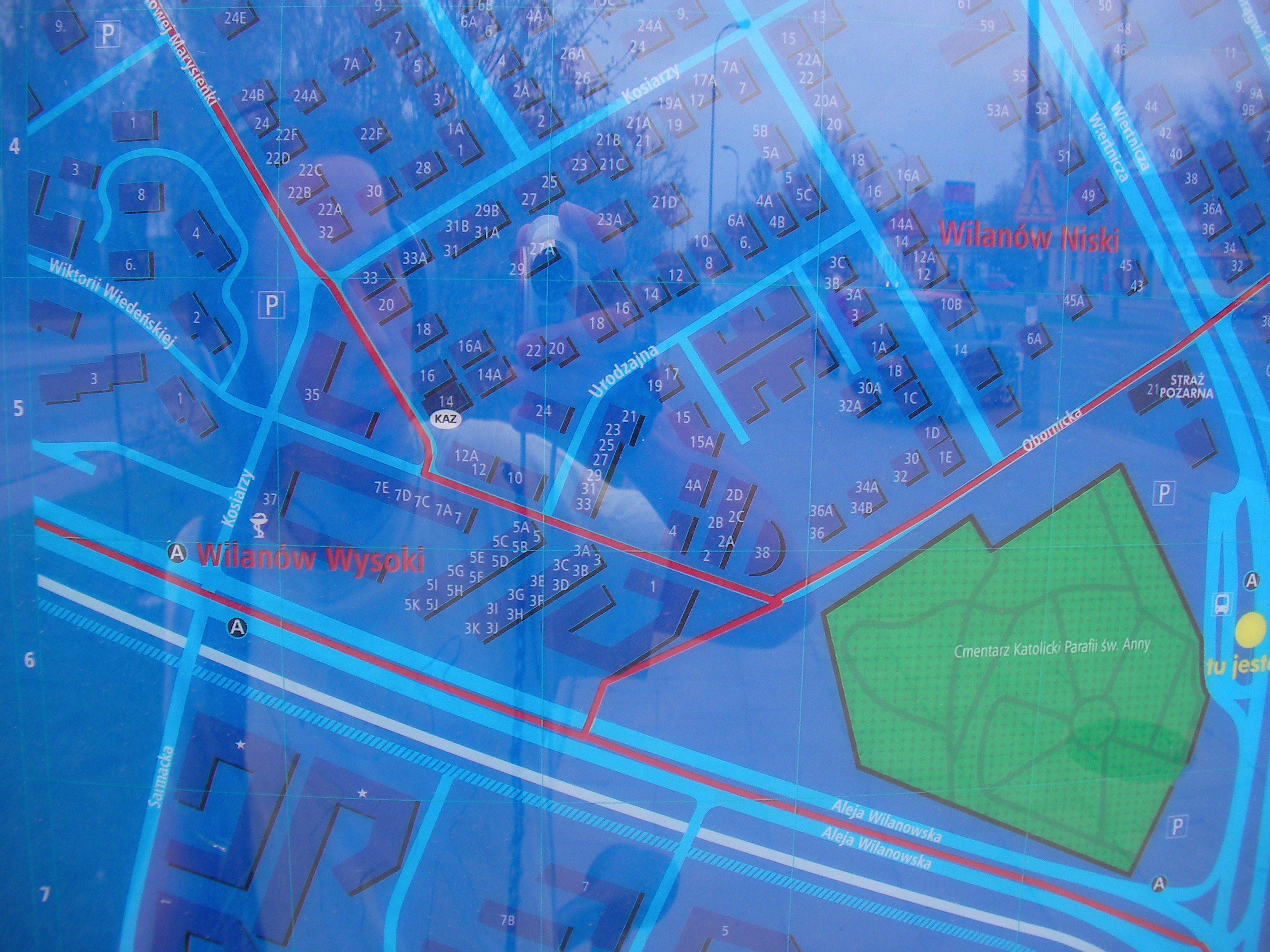
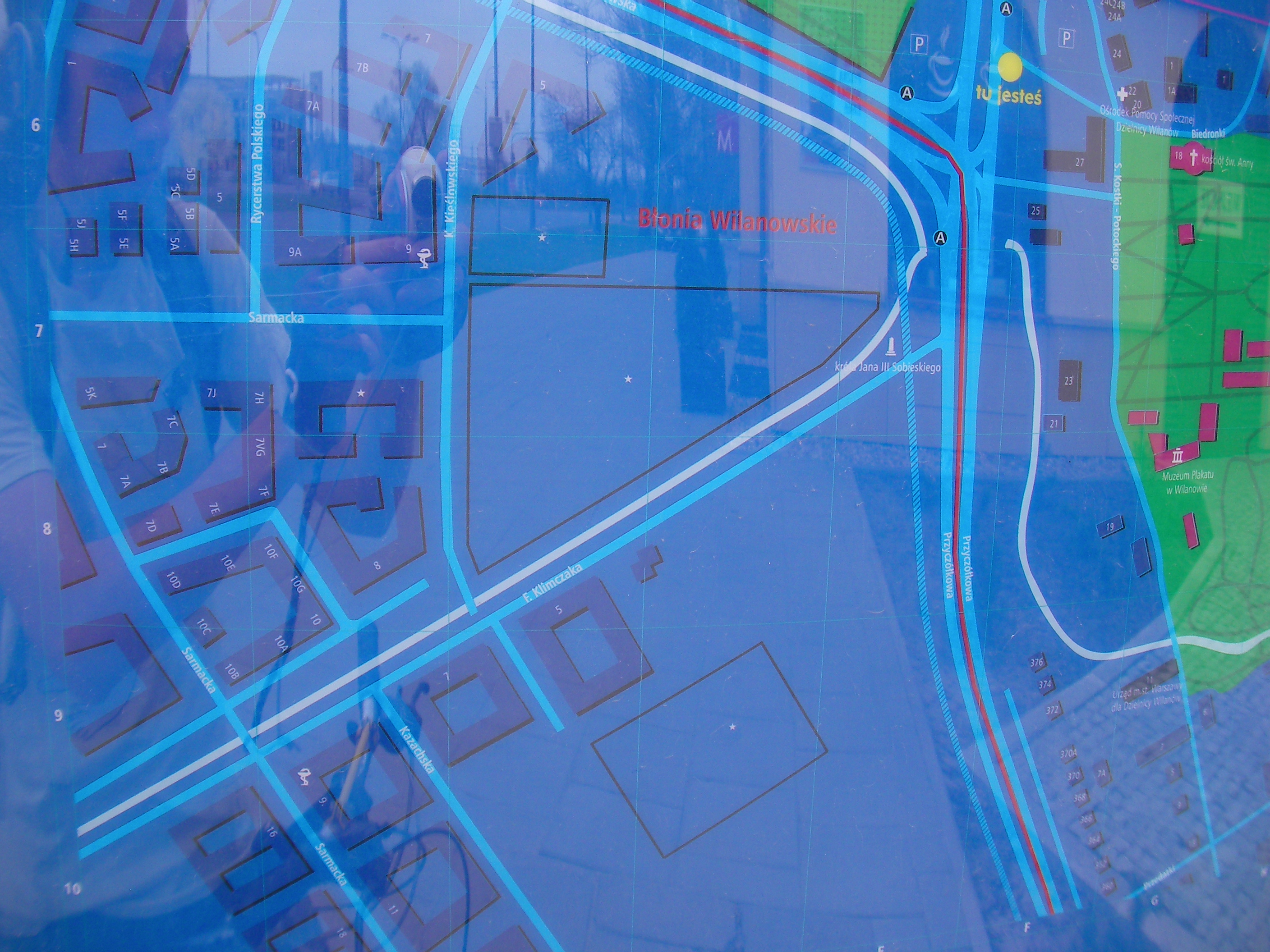
Wilanów (bus depot)
The bus stops next to McDonald's and in front of the cemetery, Powsińska street. Approximate location.
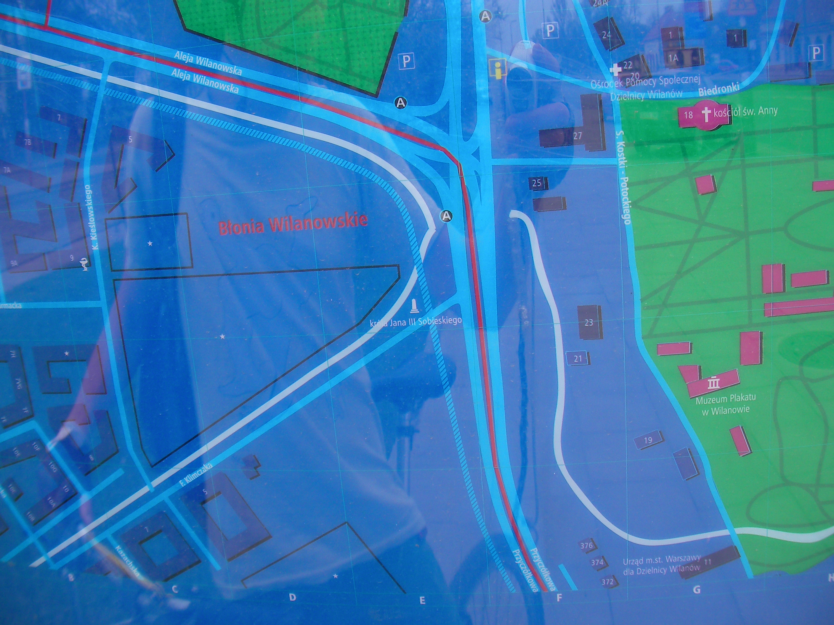
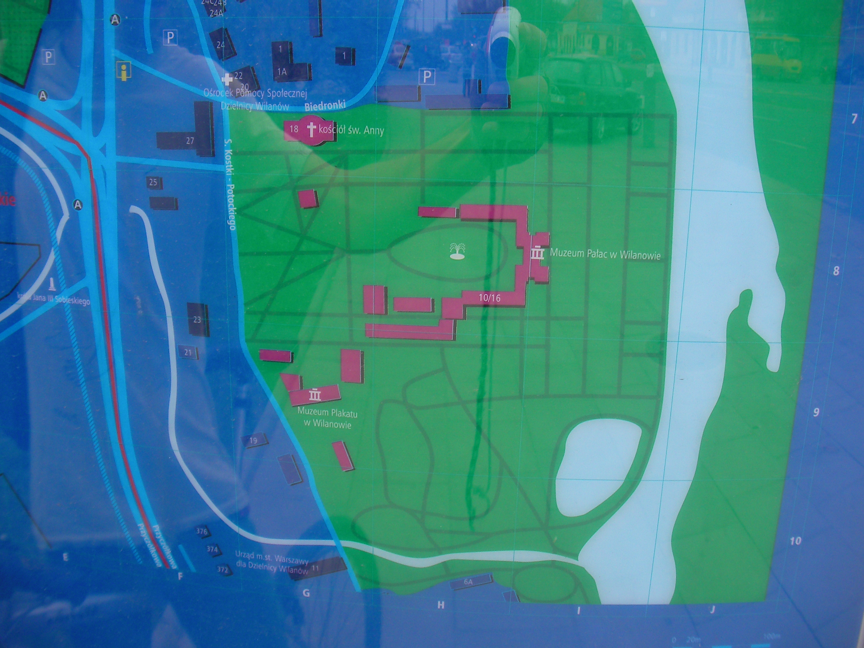
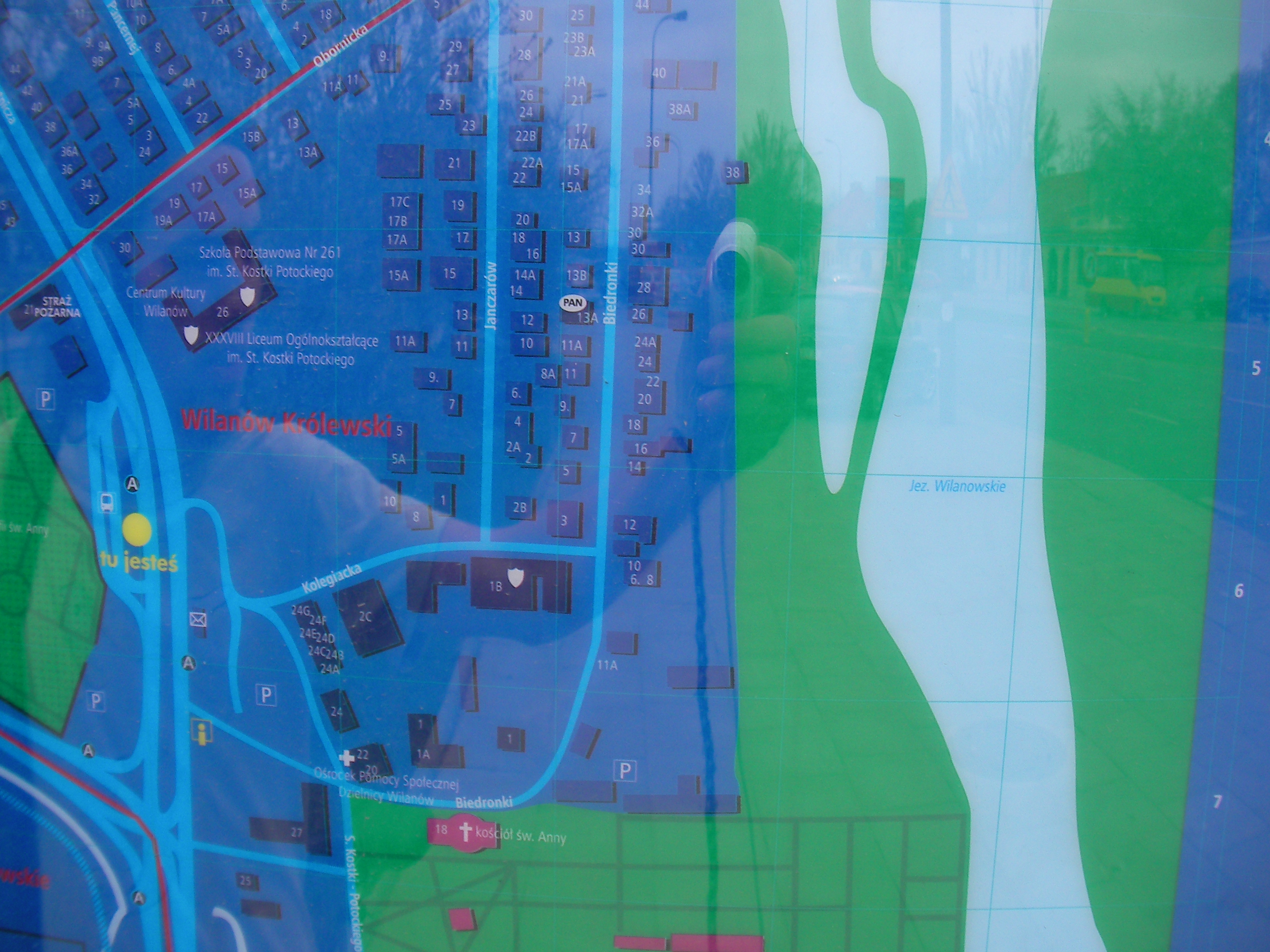
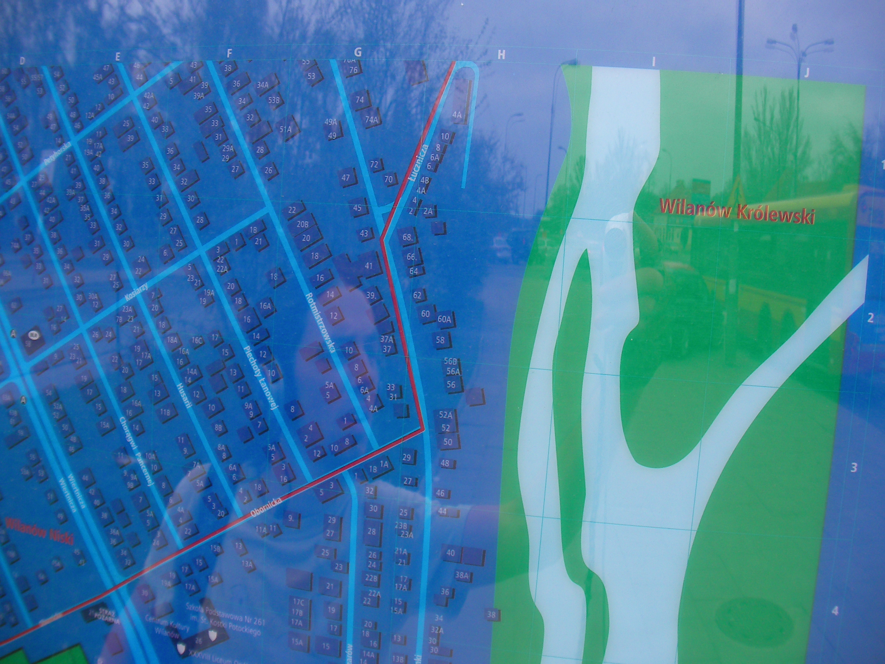
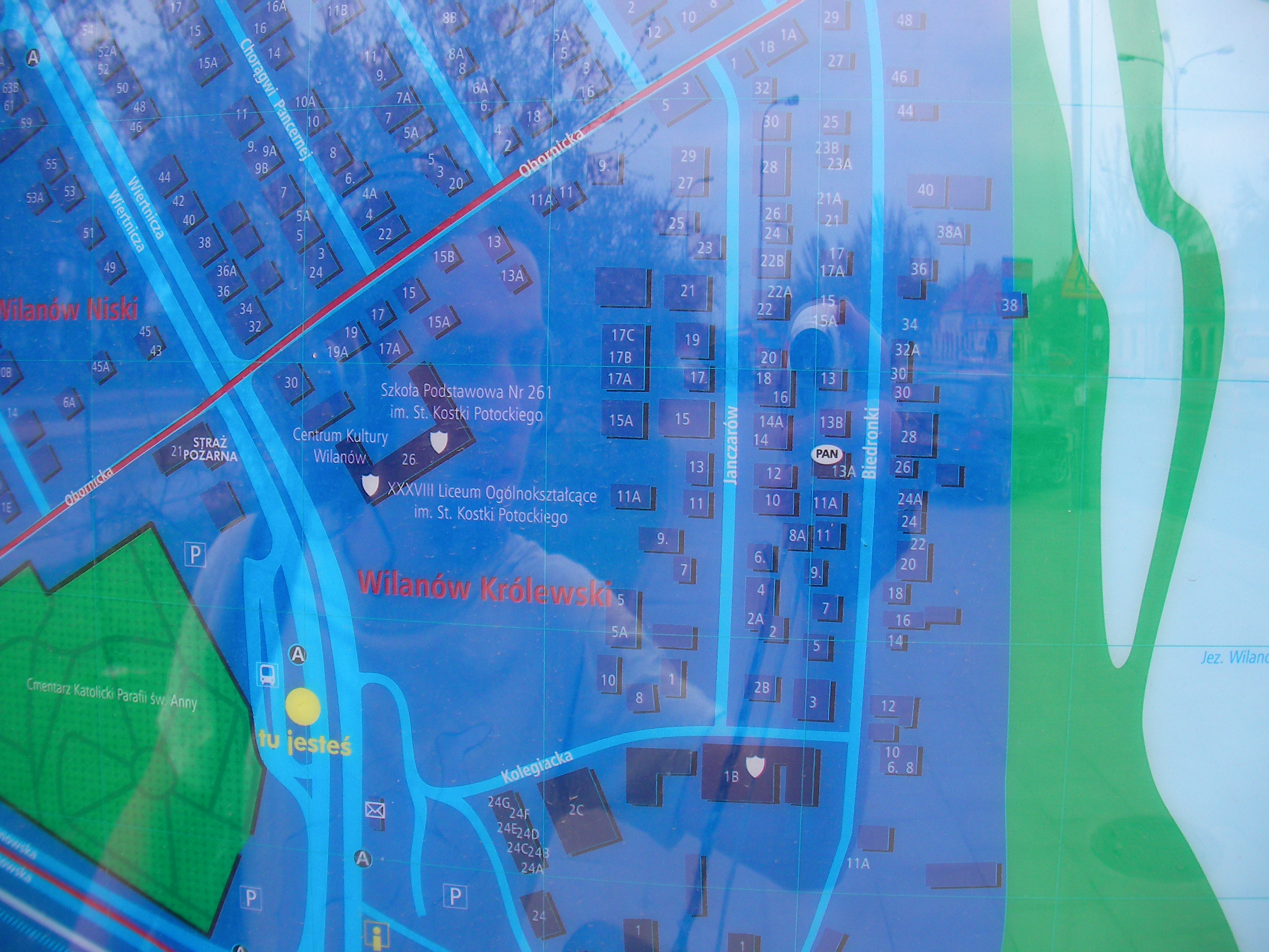
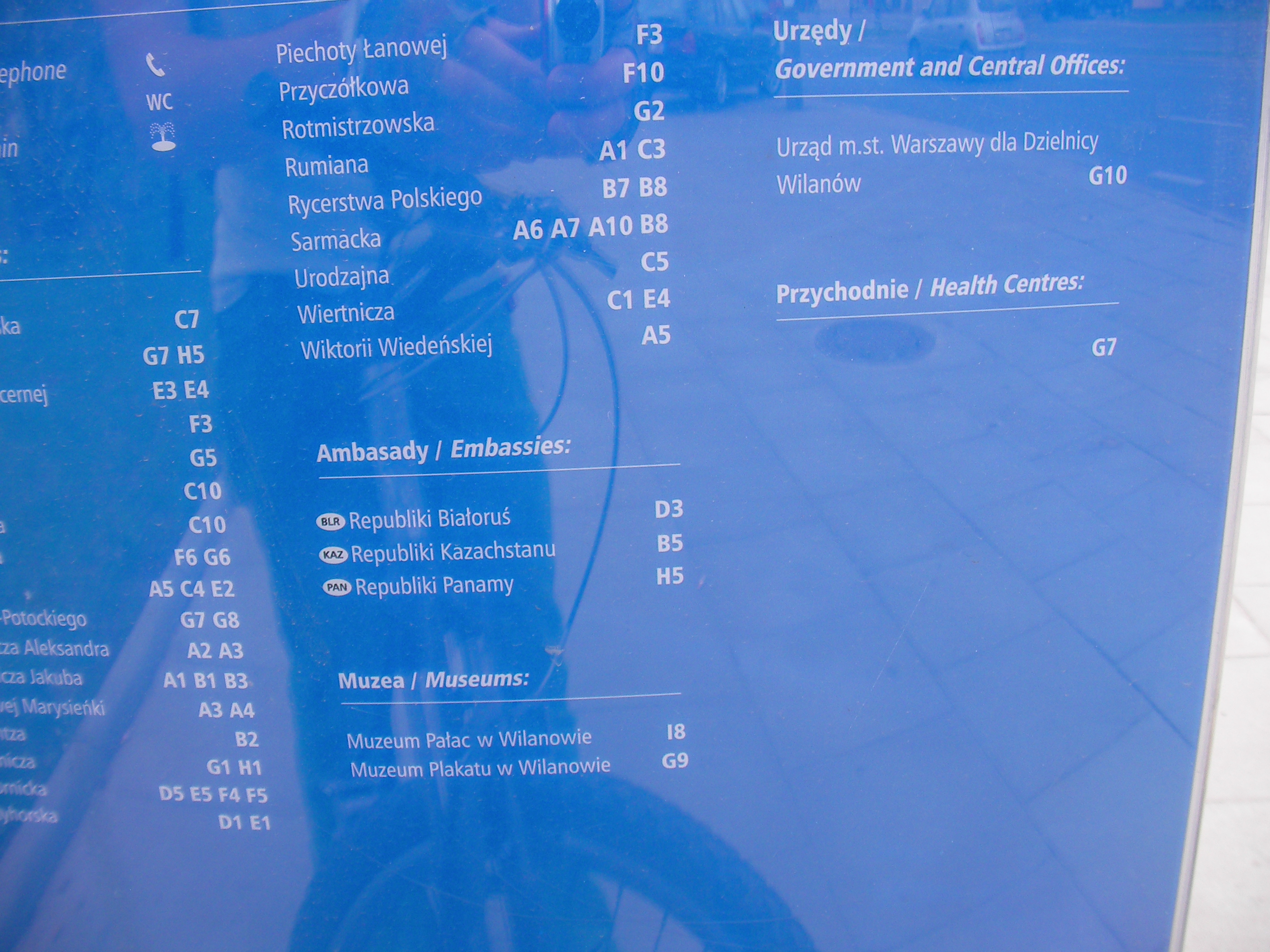
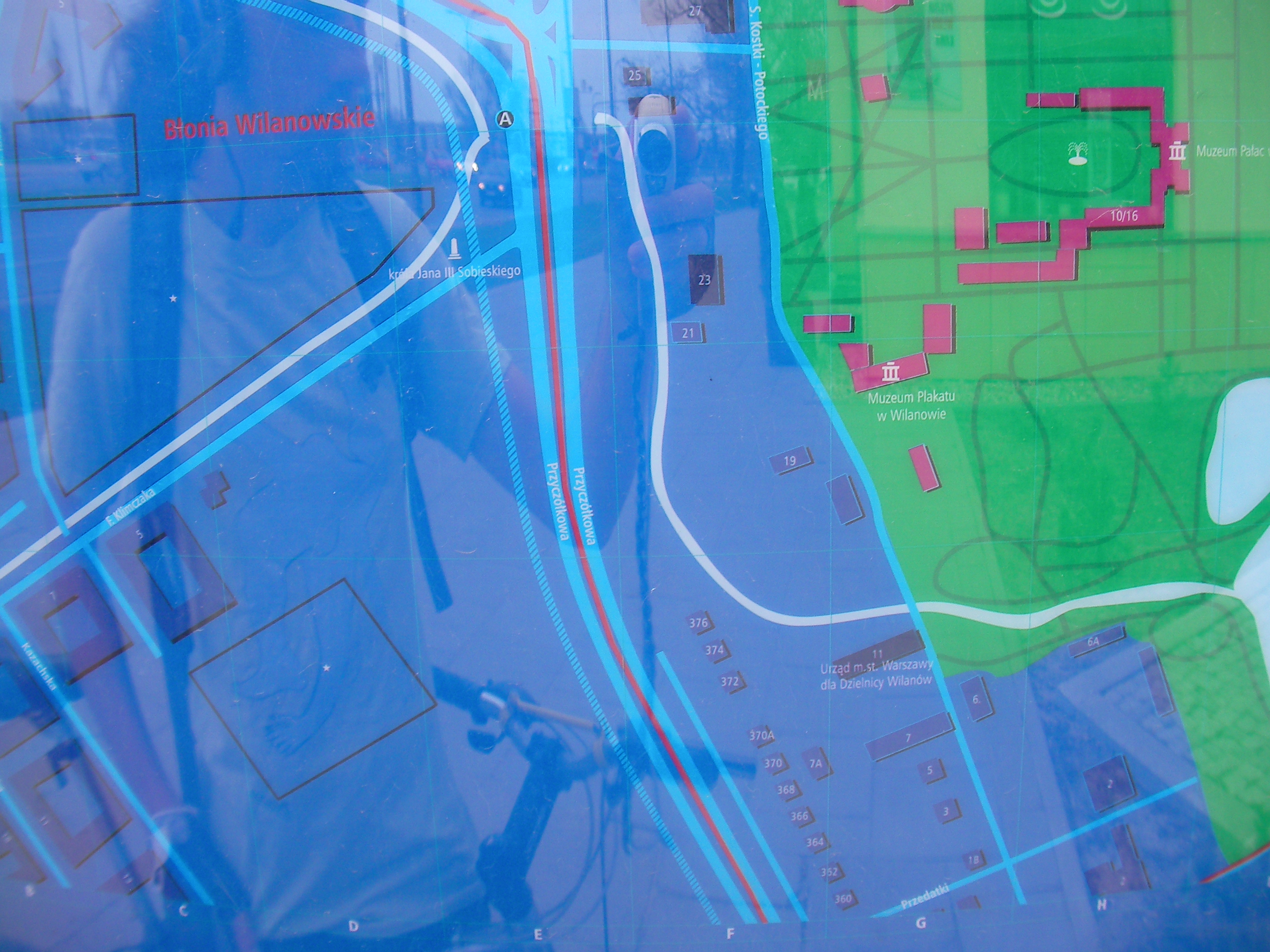
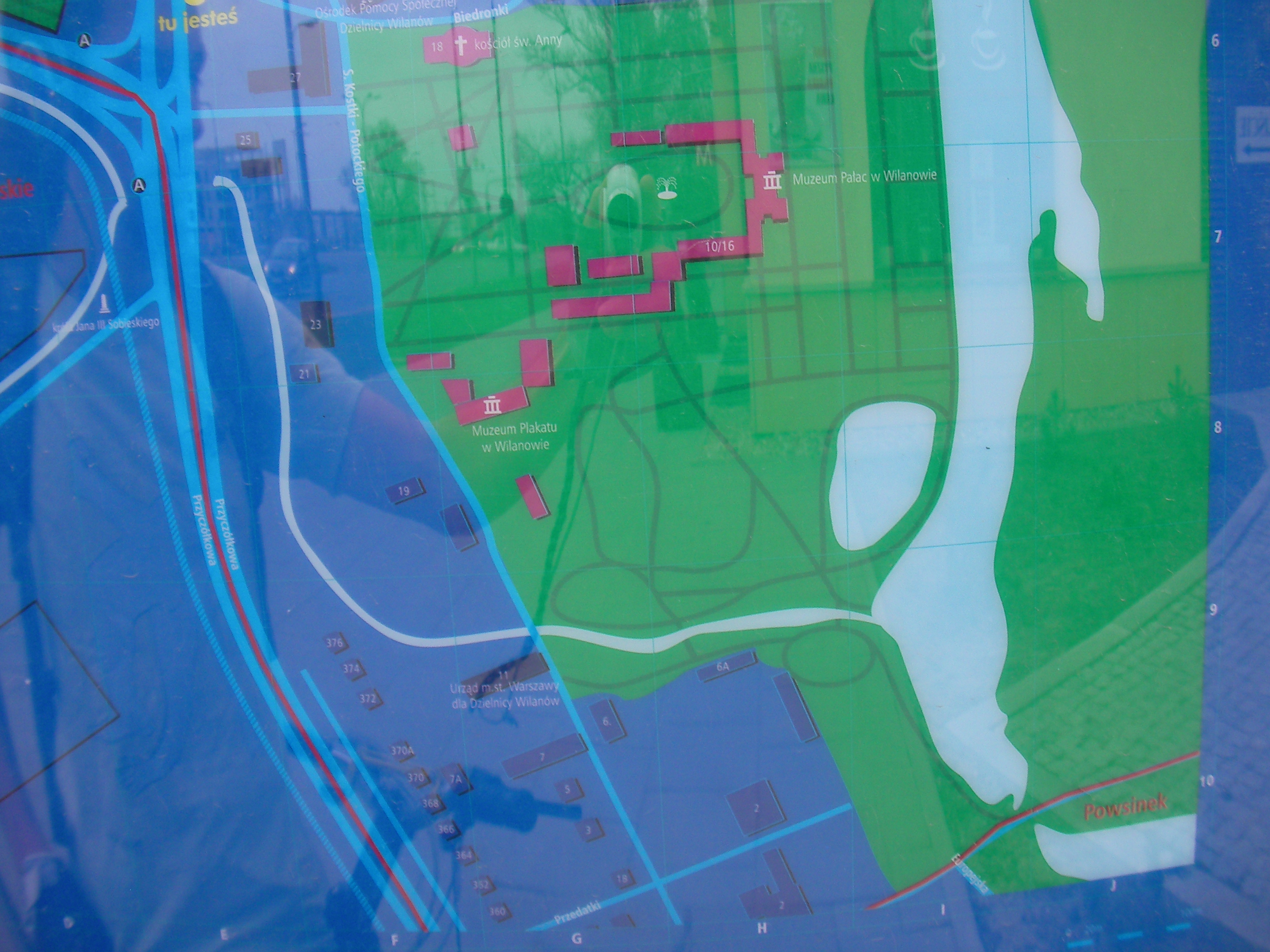
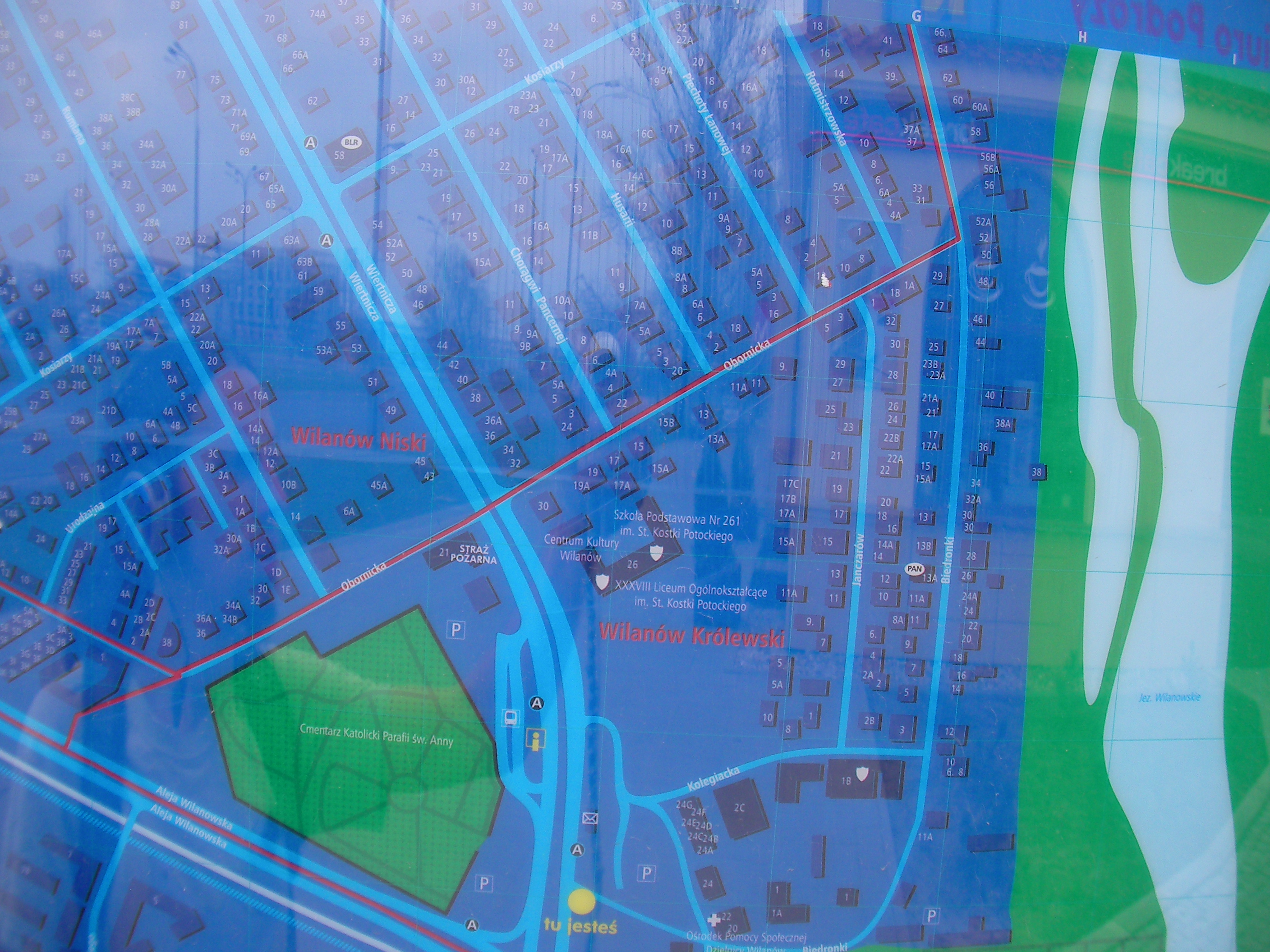
Wilanów
Opposite side of Powsińska to the cemetery, near the footpaths to Wilanów palaces. Approximate location.
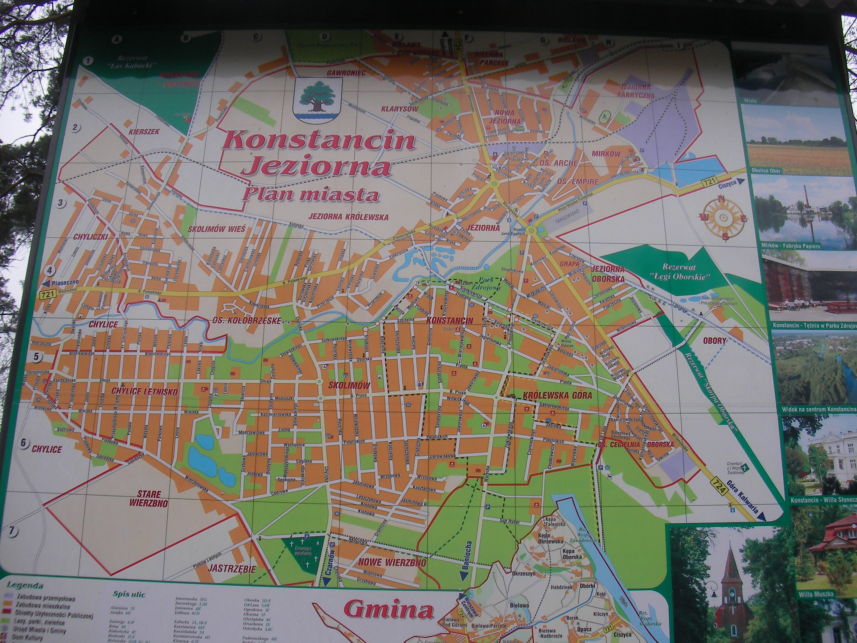
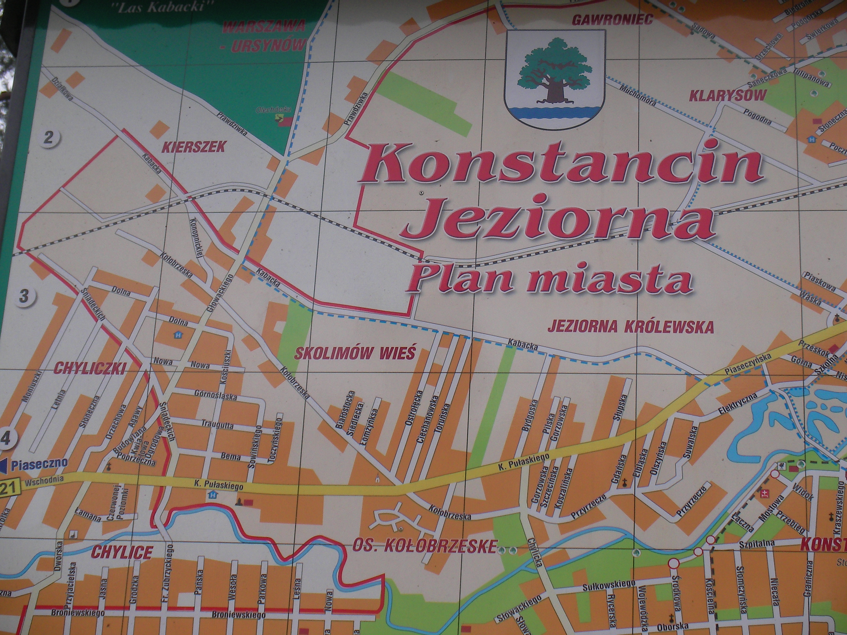
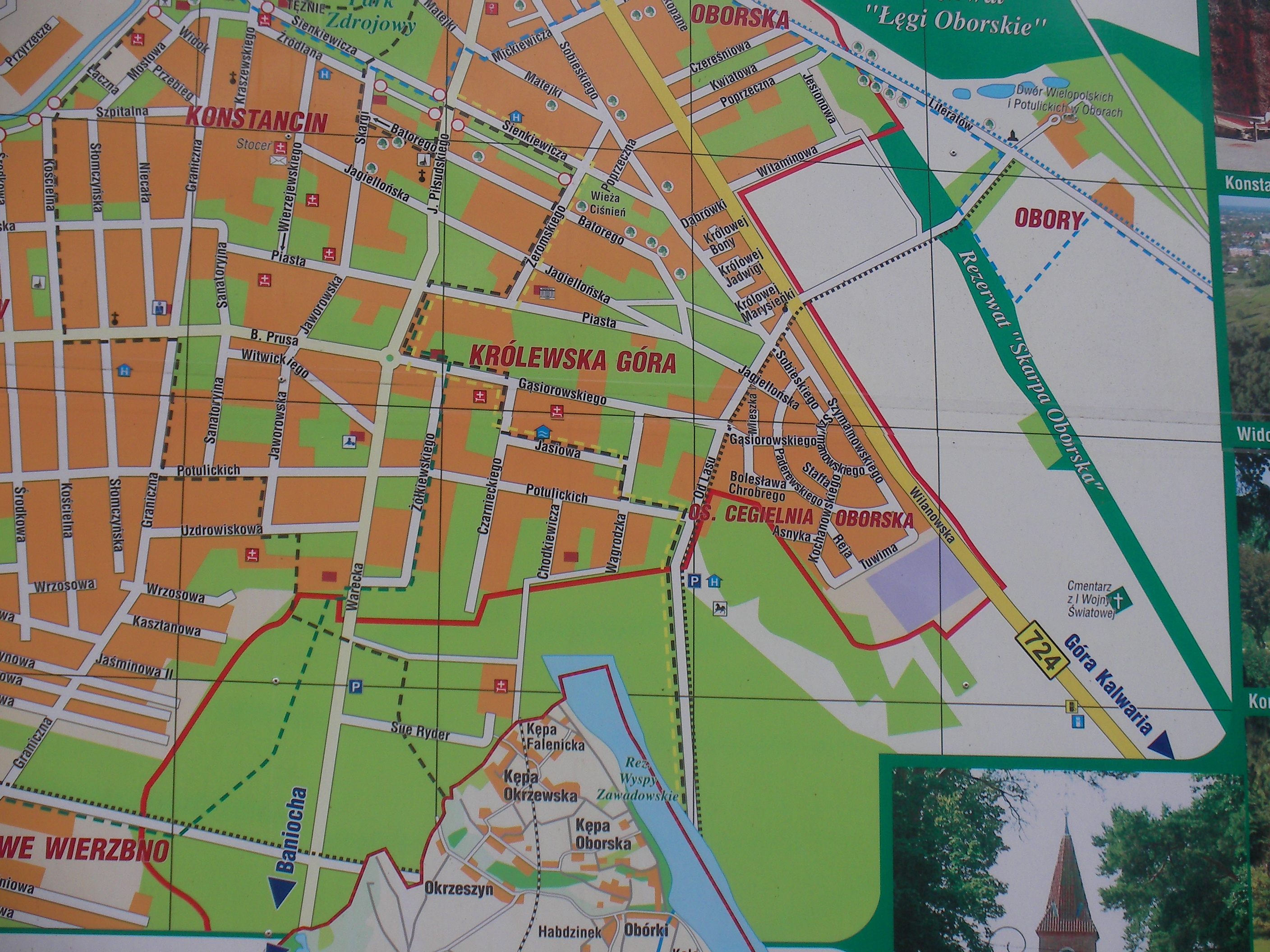
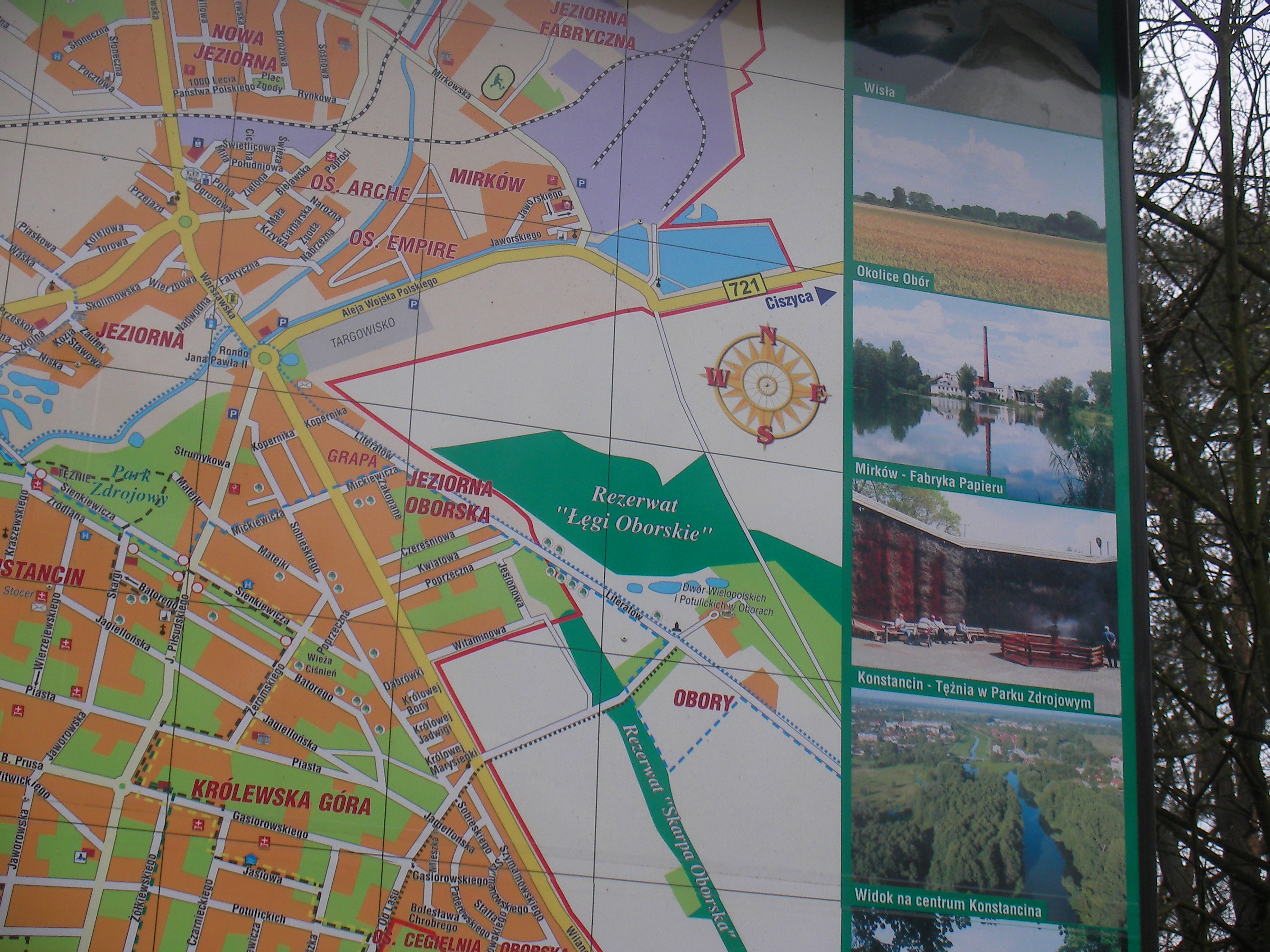
Konstancin-Jeziorna
A big post near the crossing of Sienkiewicza and Piłsudskiego, near the spas too. Similar to the [Wikiproject_Poland/Warsaw/Datasources#Konstancin-Jeziorna|map posted at bus stops] in Konstancin-Jeziorna but more complete, with pictures. Approximate location.
- Overview map of all gmina, Street-map, Zoomed top of the street-map, Left, Bottom-right, Bottom pictures, Top pictures, Map-key + street names.
Nature reserves south of Warsaw
A post in Chojnów between Klonowa and Asfaltowa streets, an overview map of forests south of Warsaw. Approximate location.
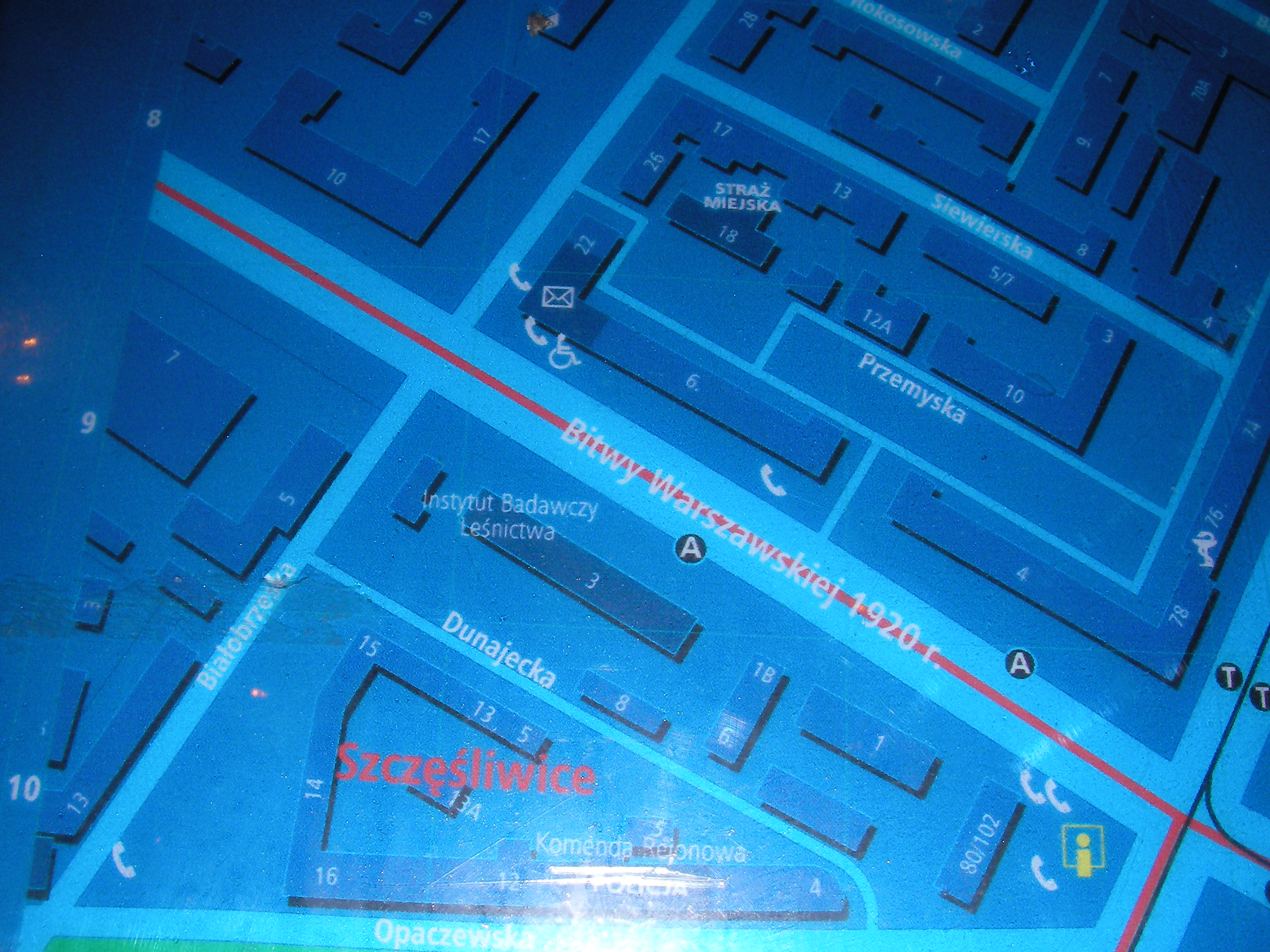
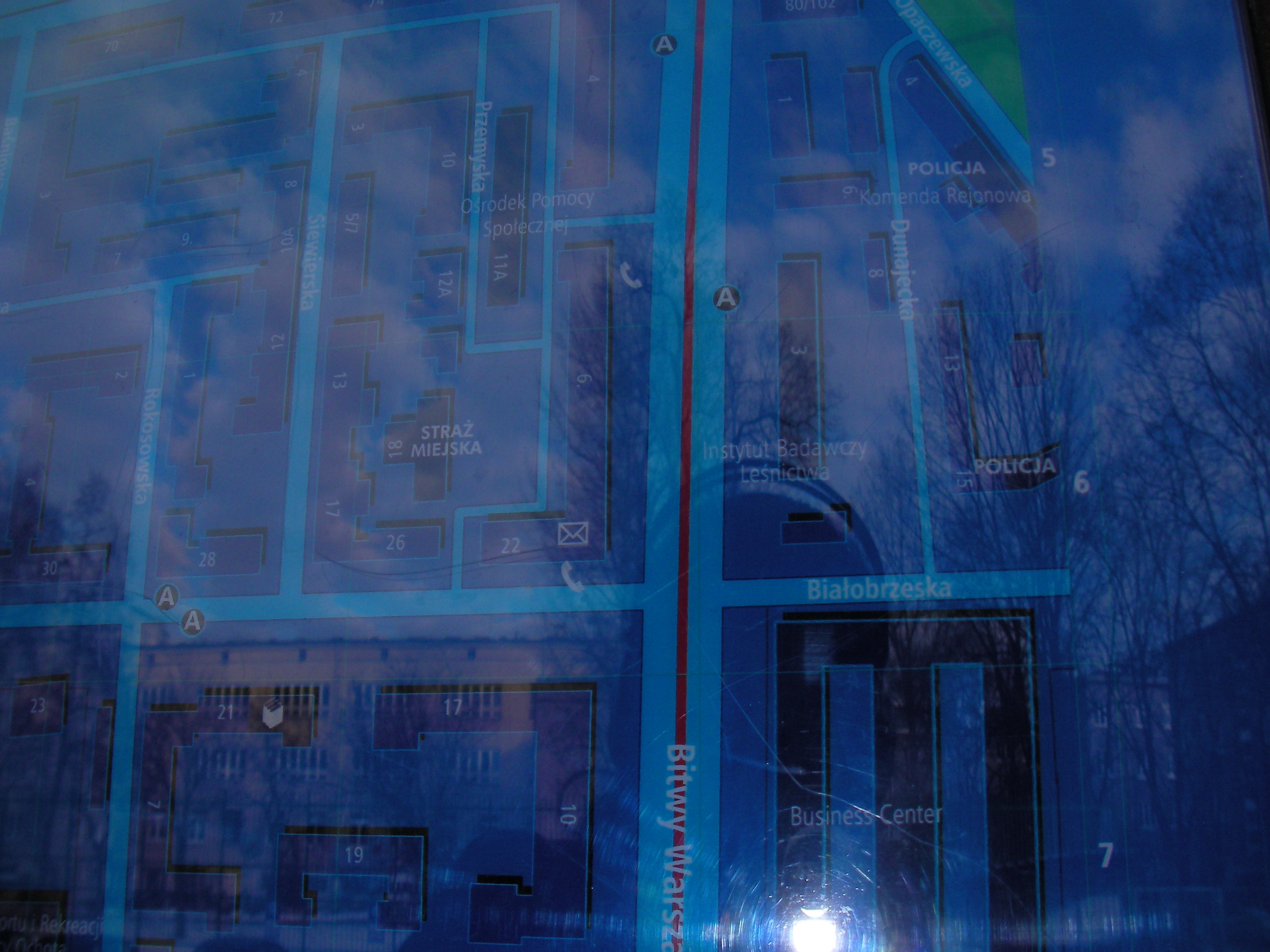
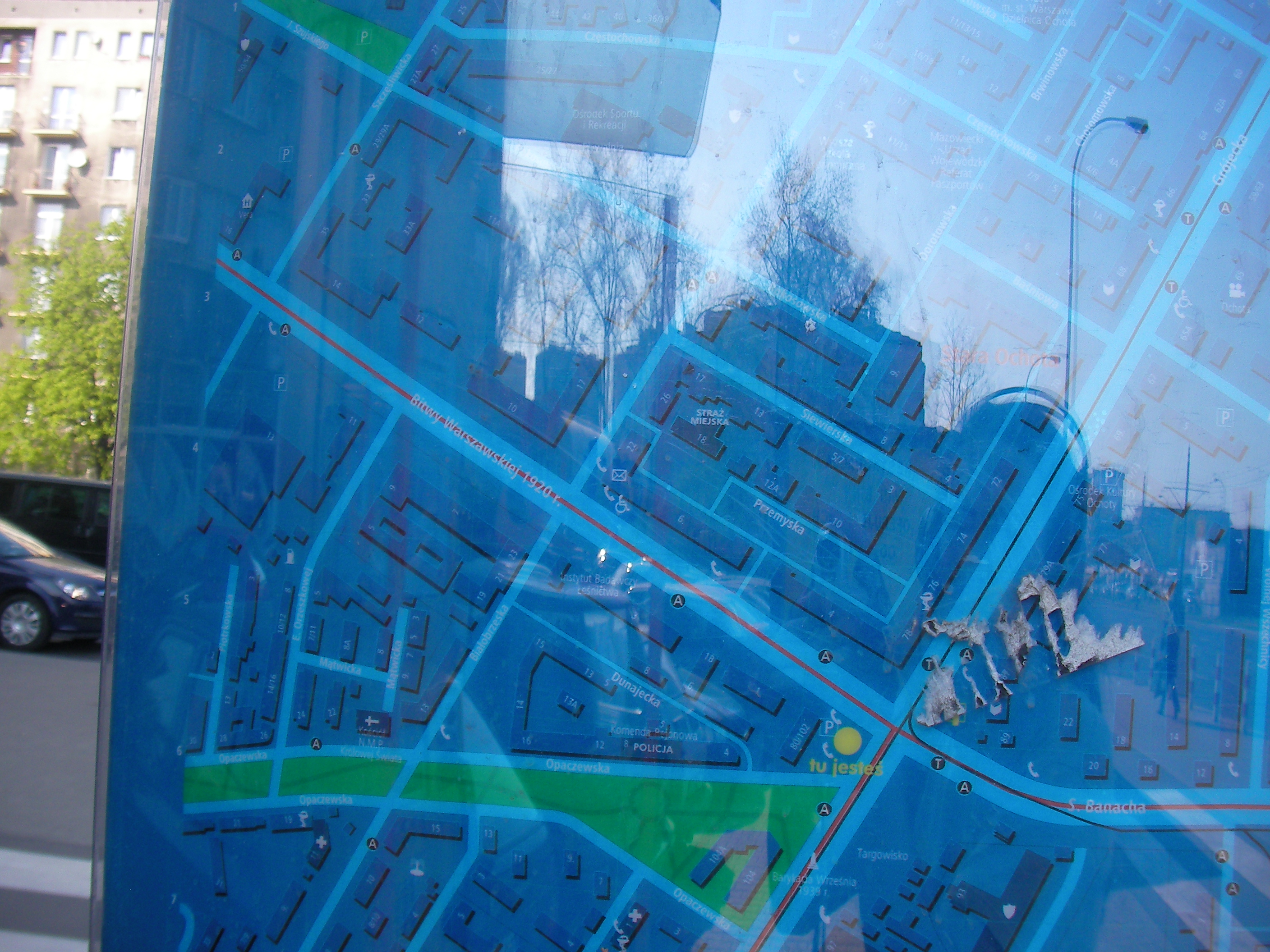
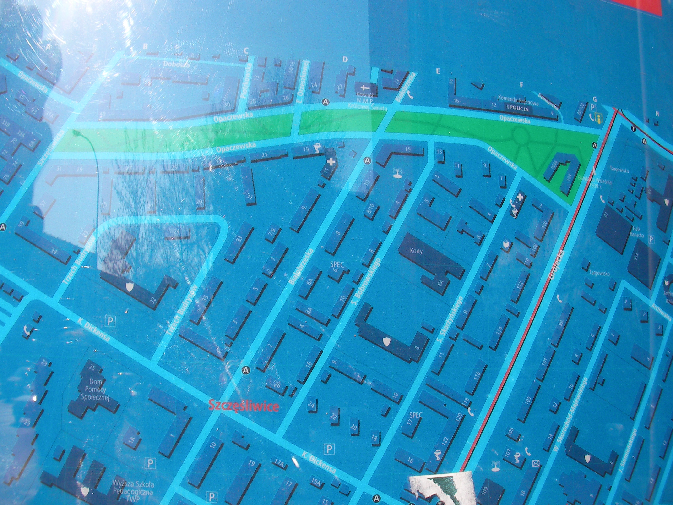
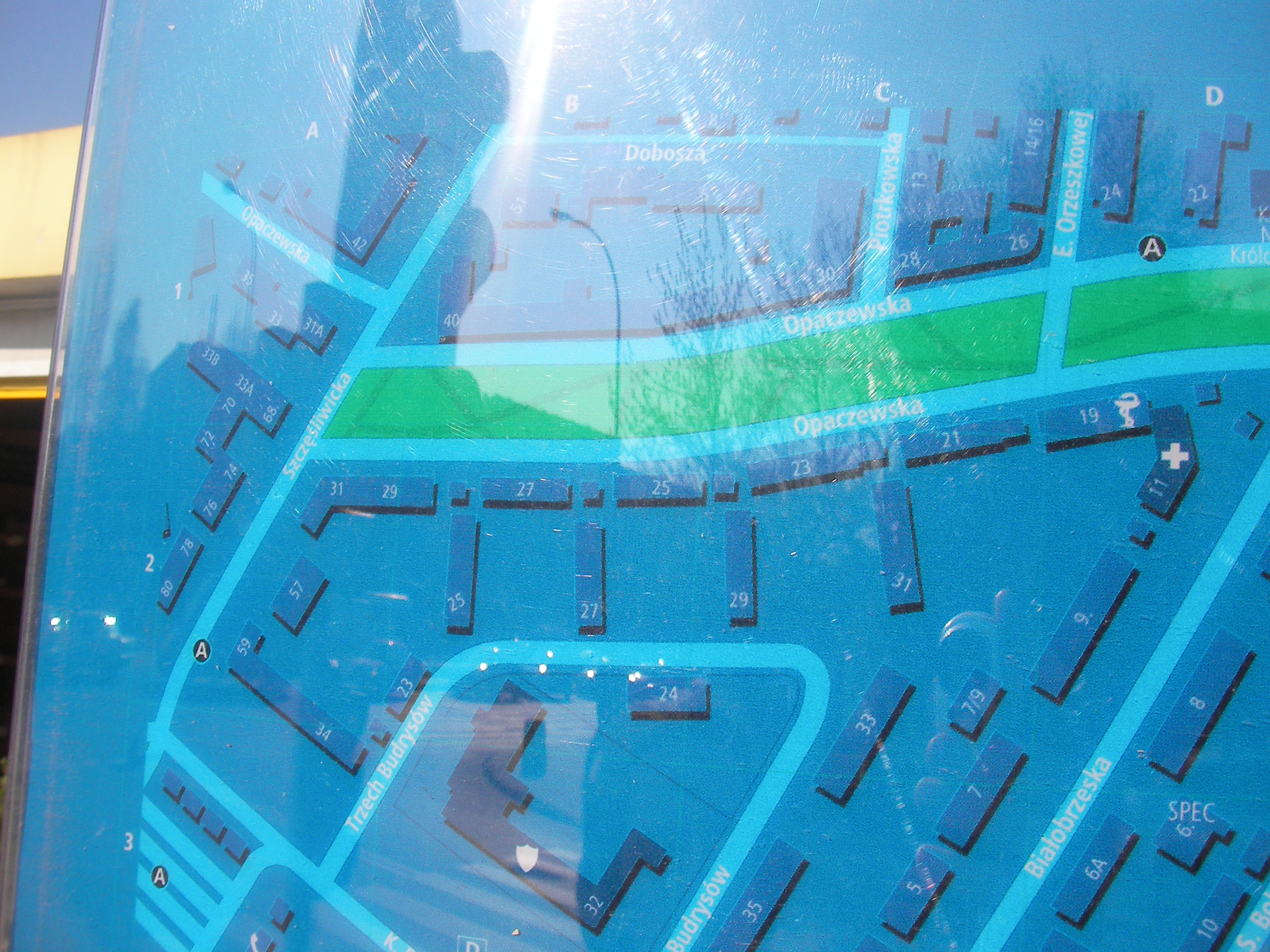
Bitwy Warszawskiej / Hala Banacha
On the opposite side of Grójecka to Hala Banacha, near Opaczewska. Approximate location.
- Bottom-right, Bottom, Right, Left.
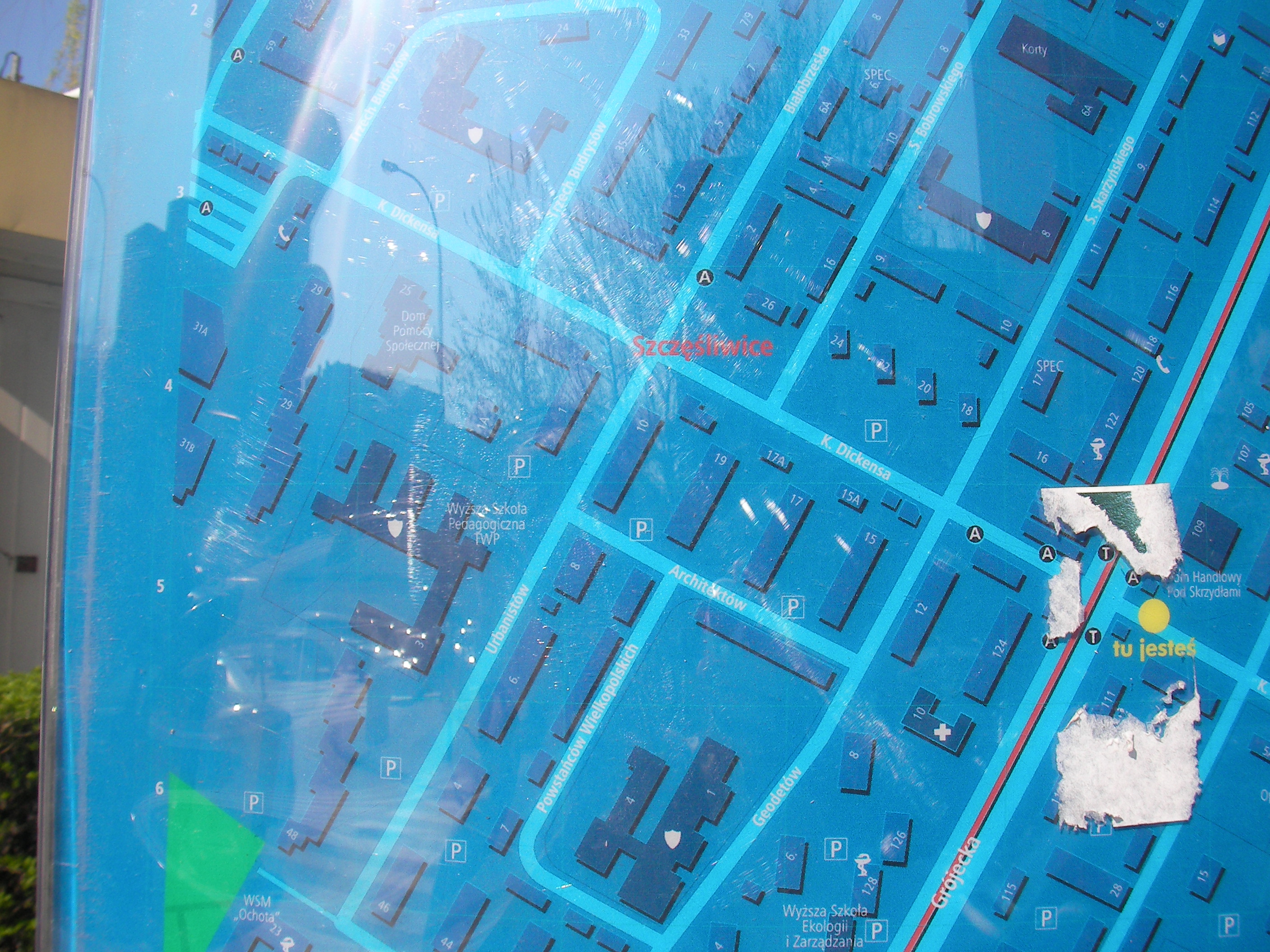
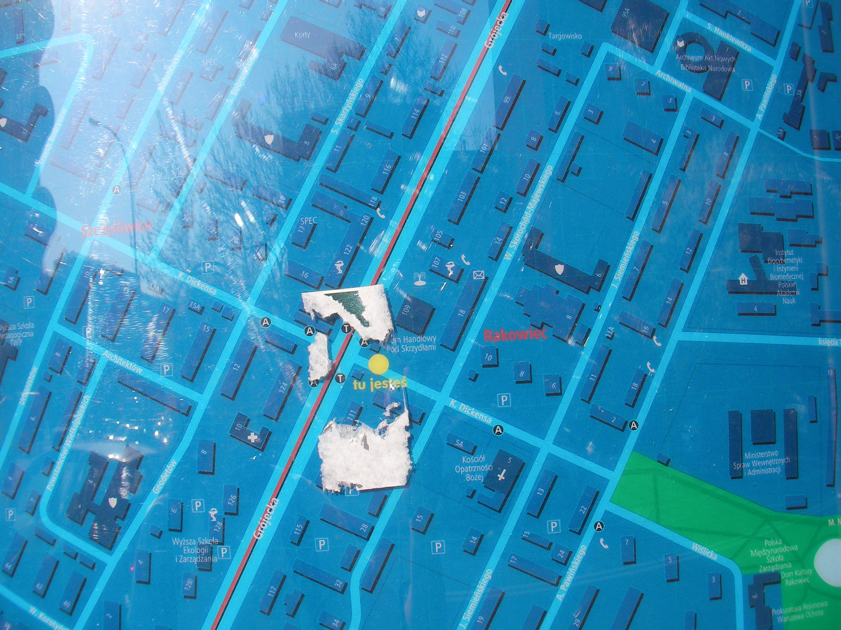
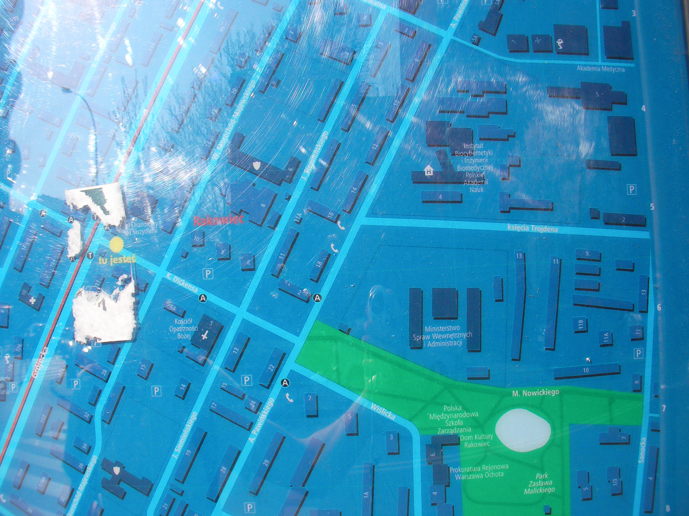
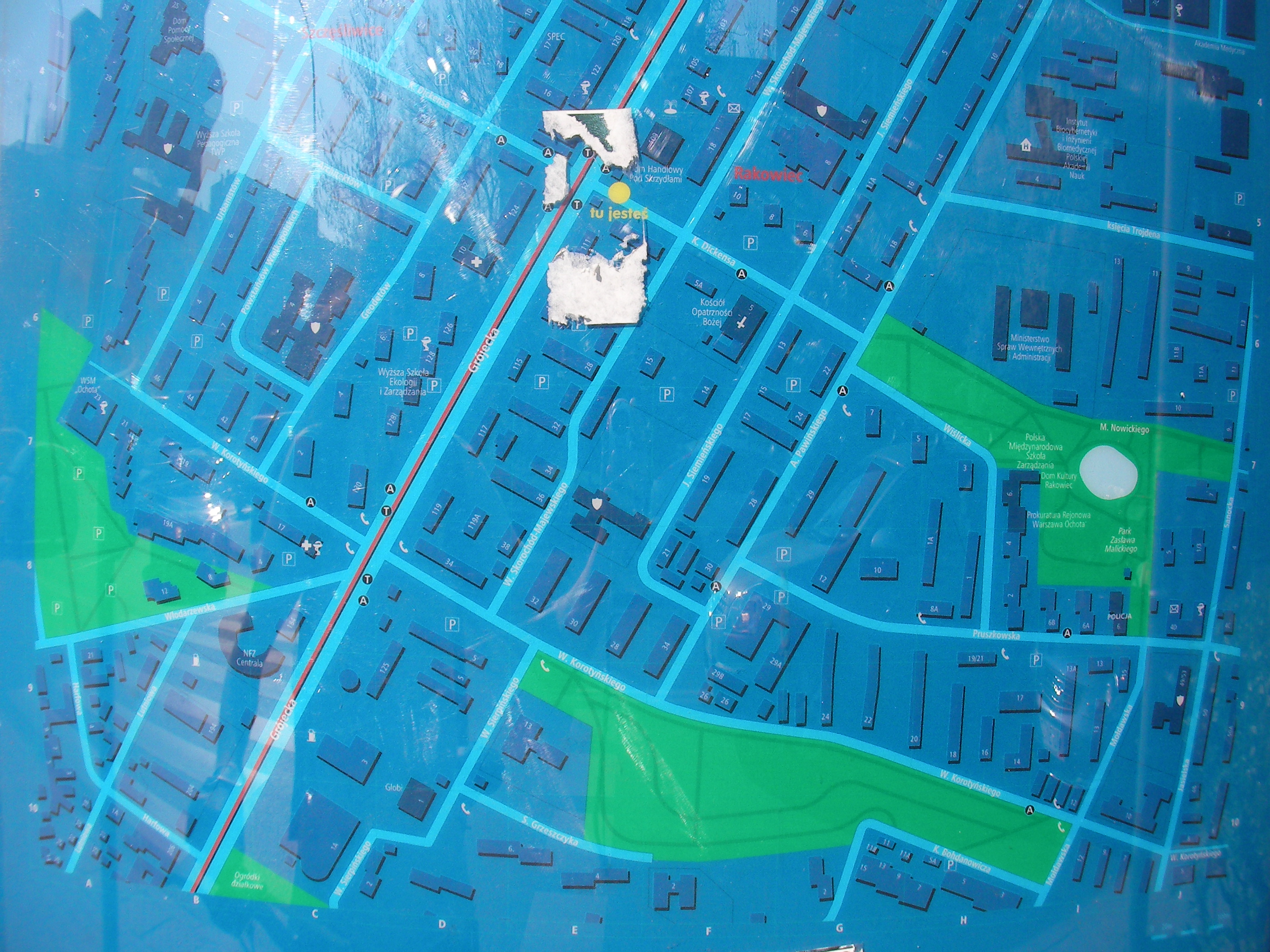
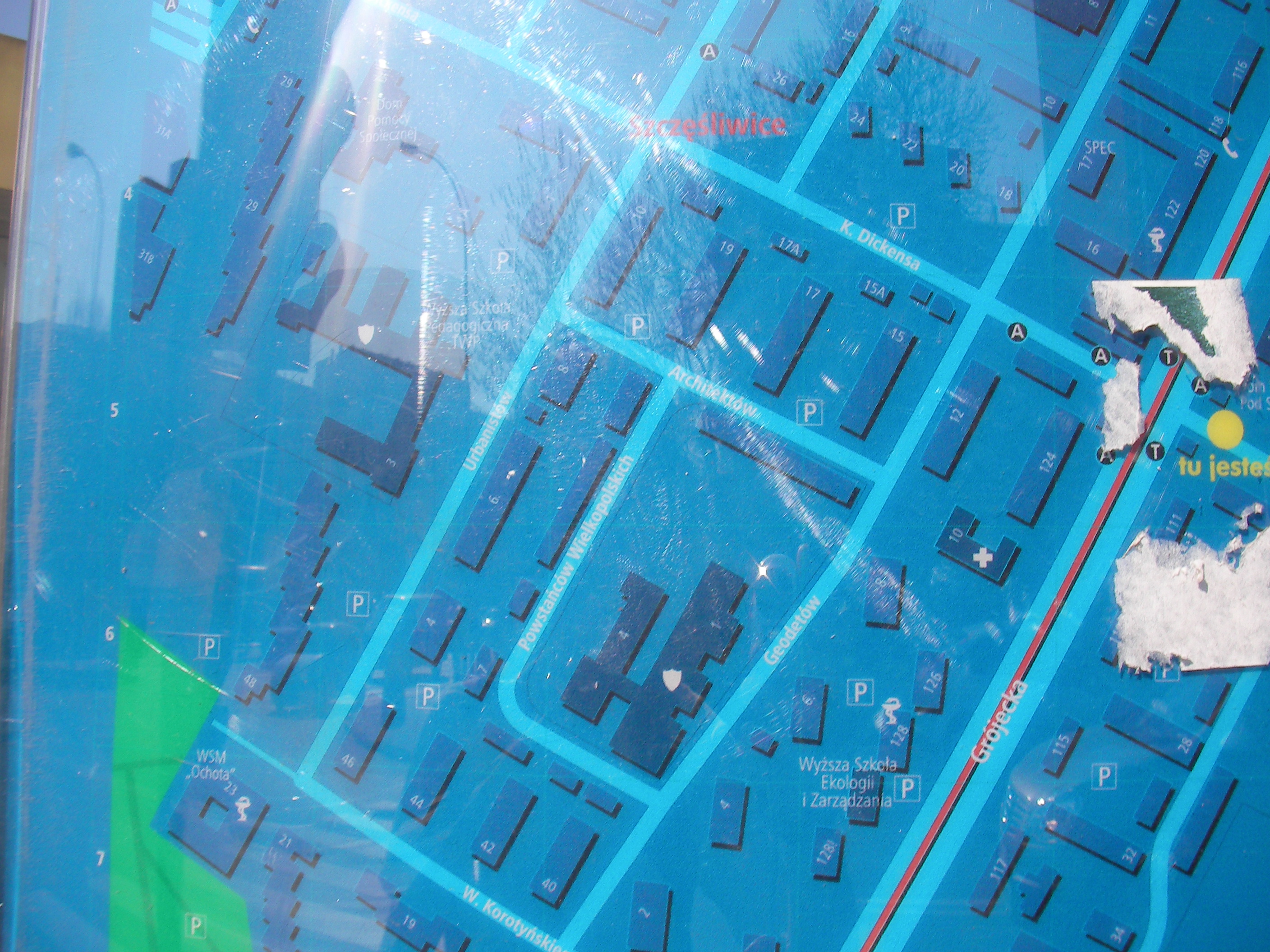
Dickensa
Crossing of Karola Dickensa and Grójecka streets. Approximate location.
- Bottom-right, Bottom, Bottom-left, Left, Middle, Right, Top-right, Top, Bottom half, Top-left, Left.
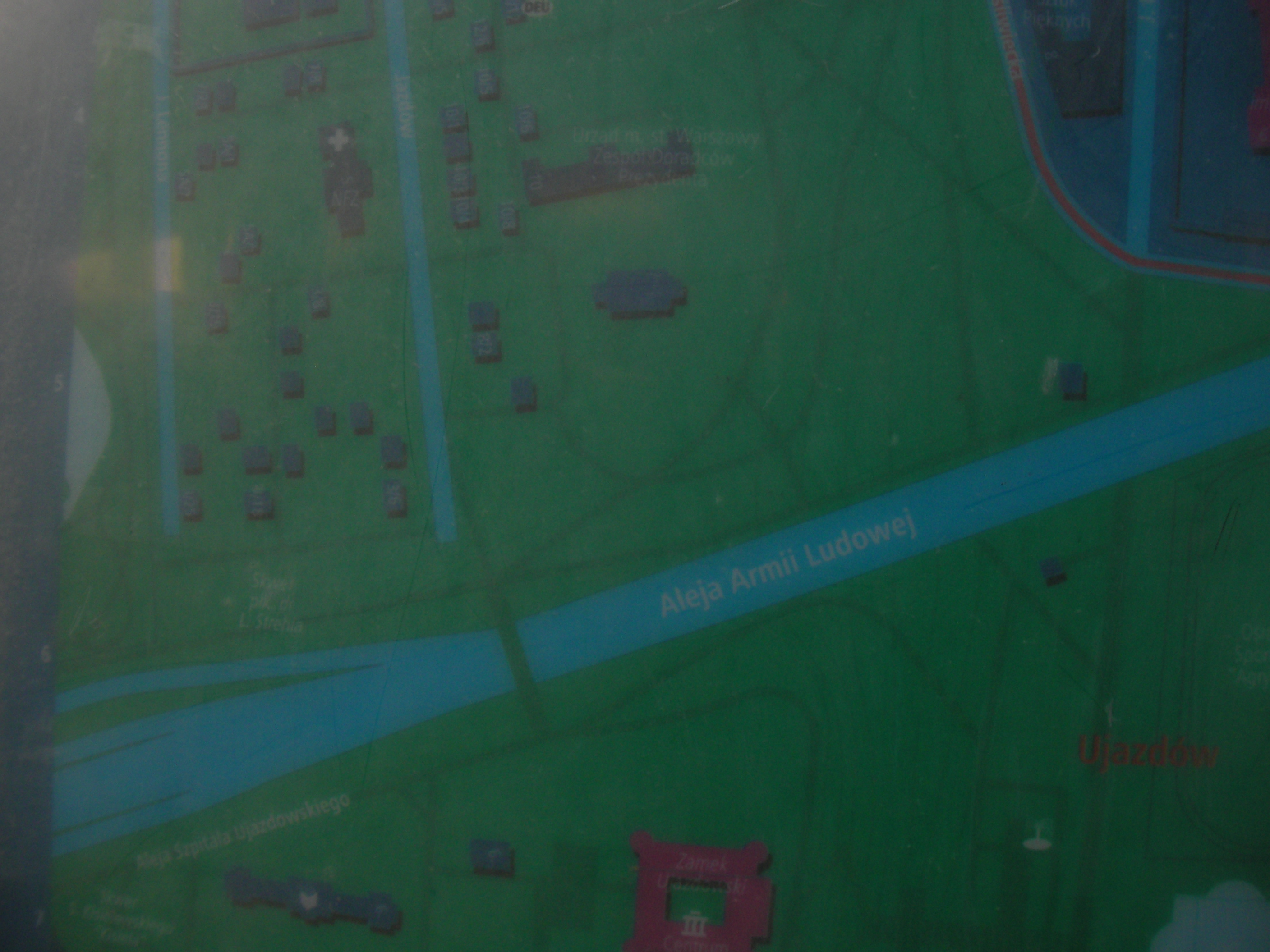
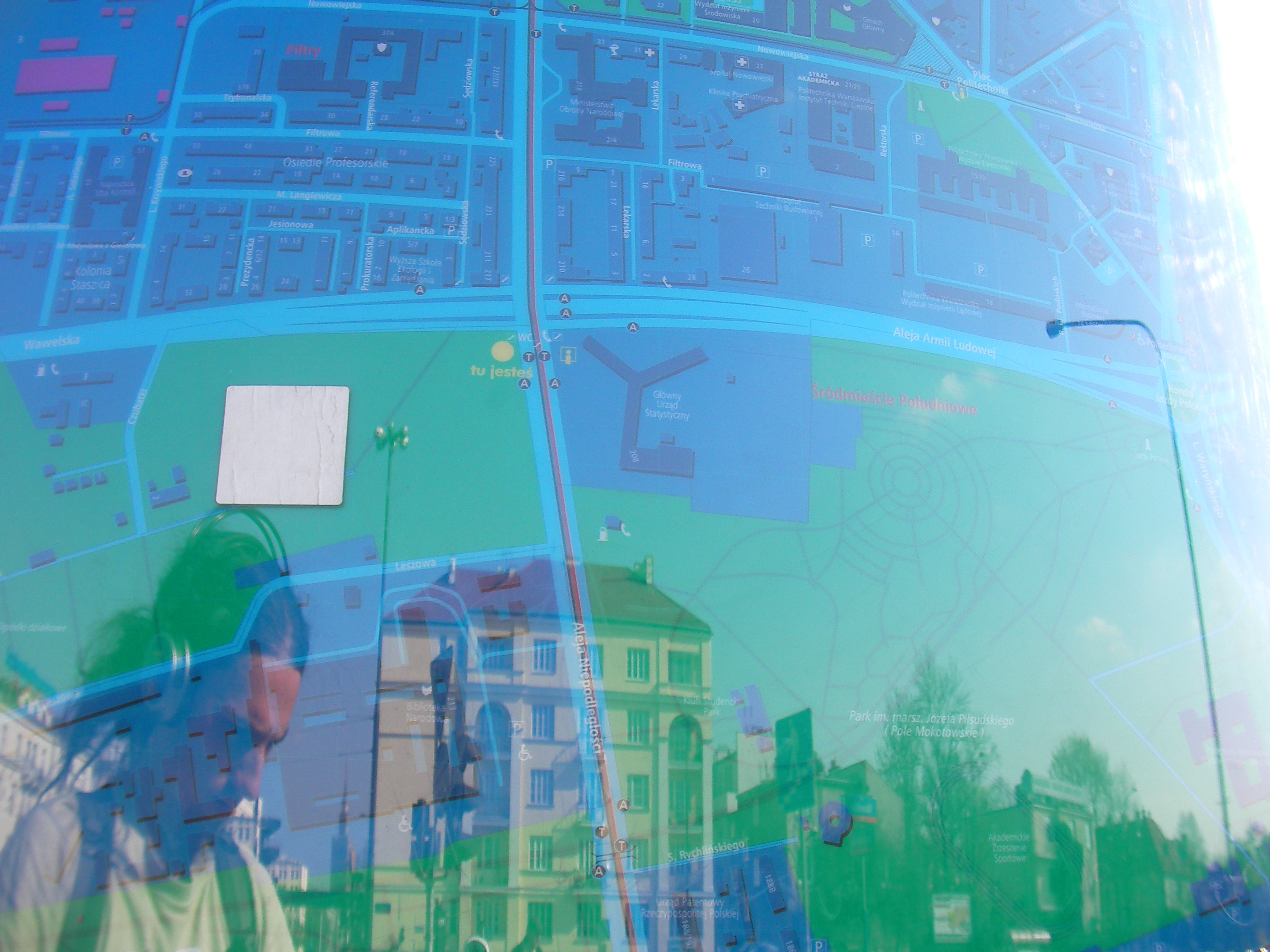
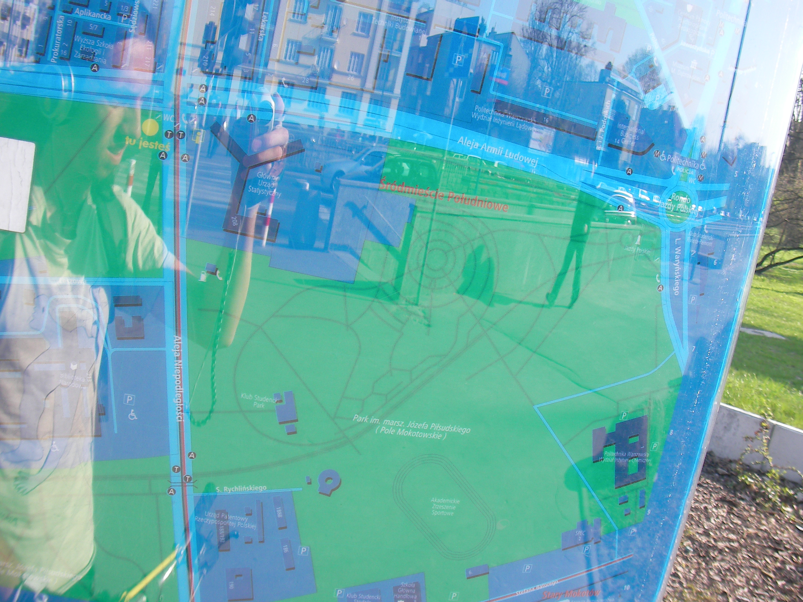
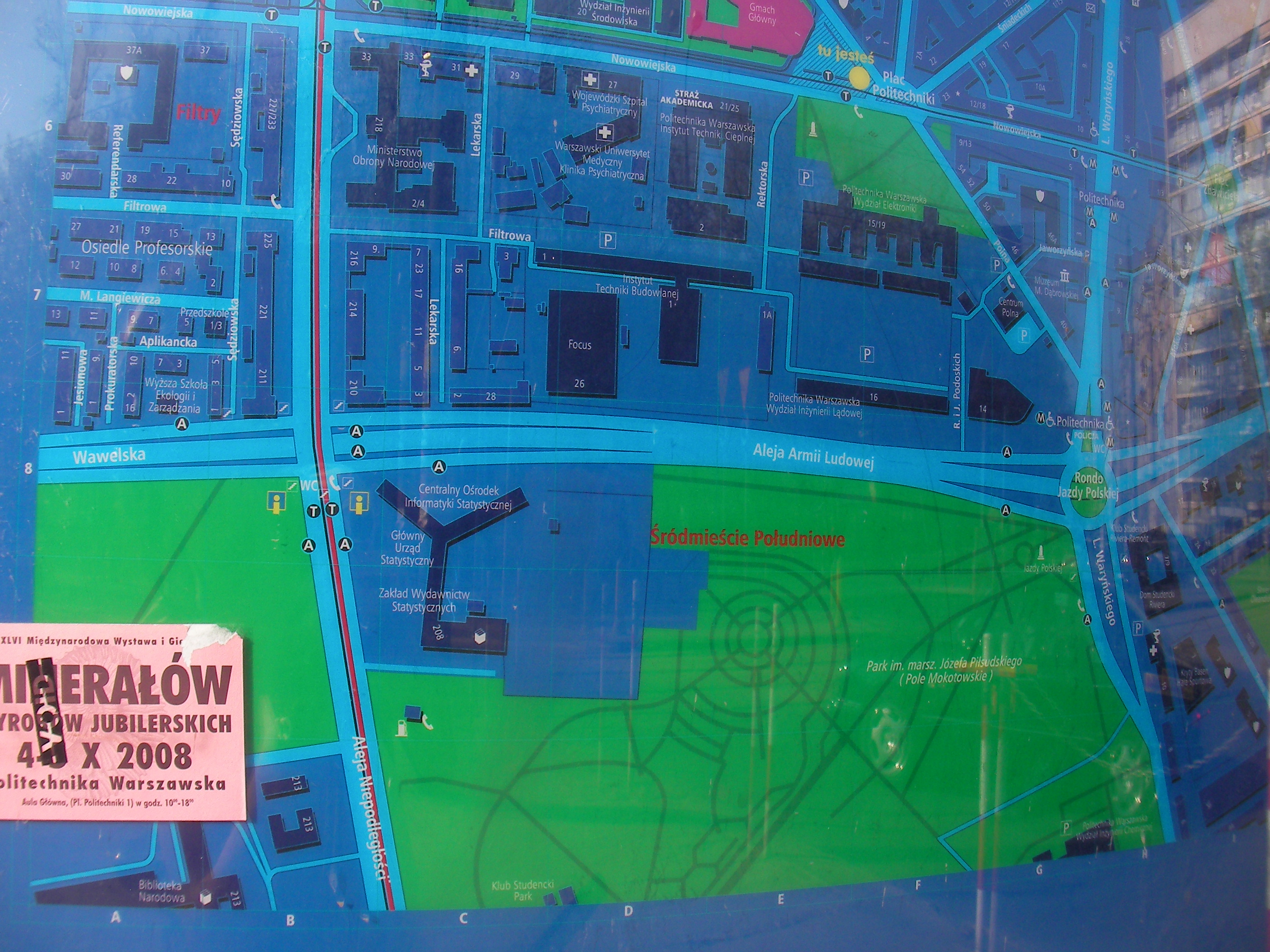
Pola Mokotowskie, GUS
Crossing of Aleja Niepodległości and Aleja Armii Ludowej. Approximate location.
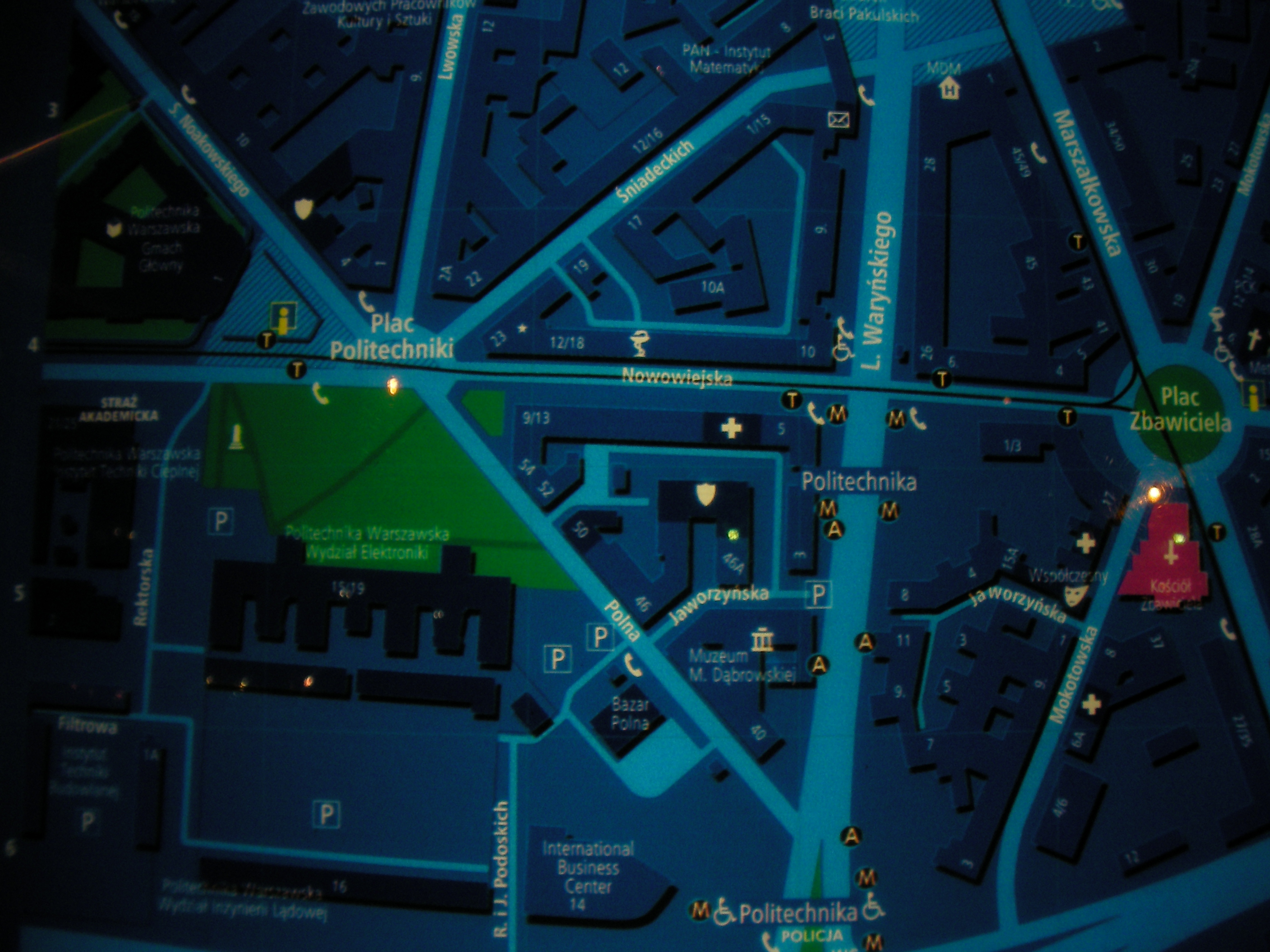
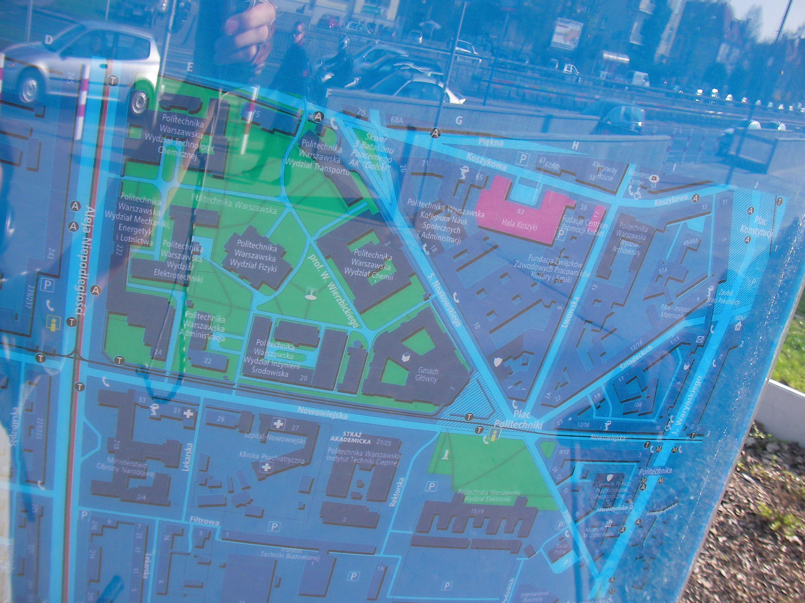
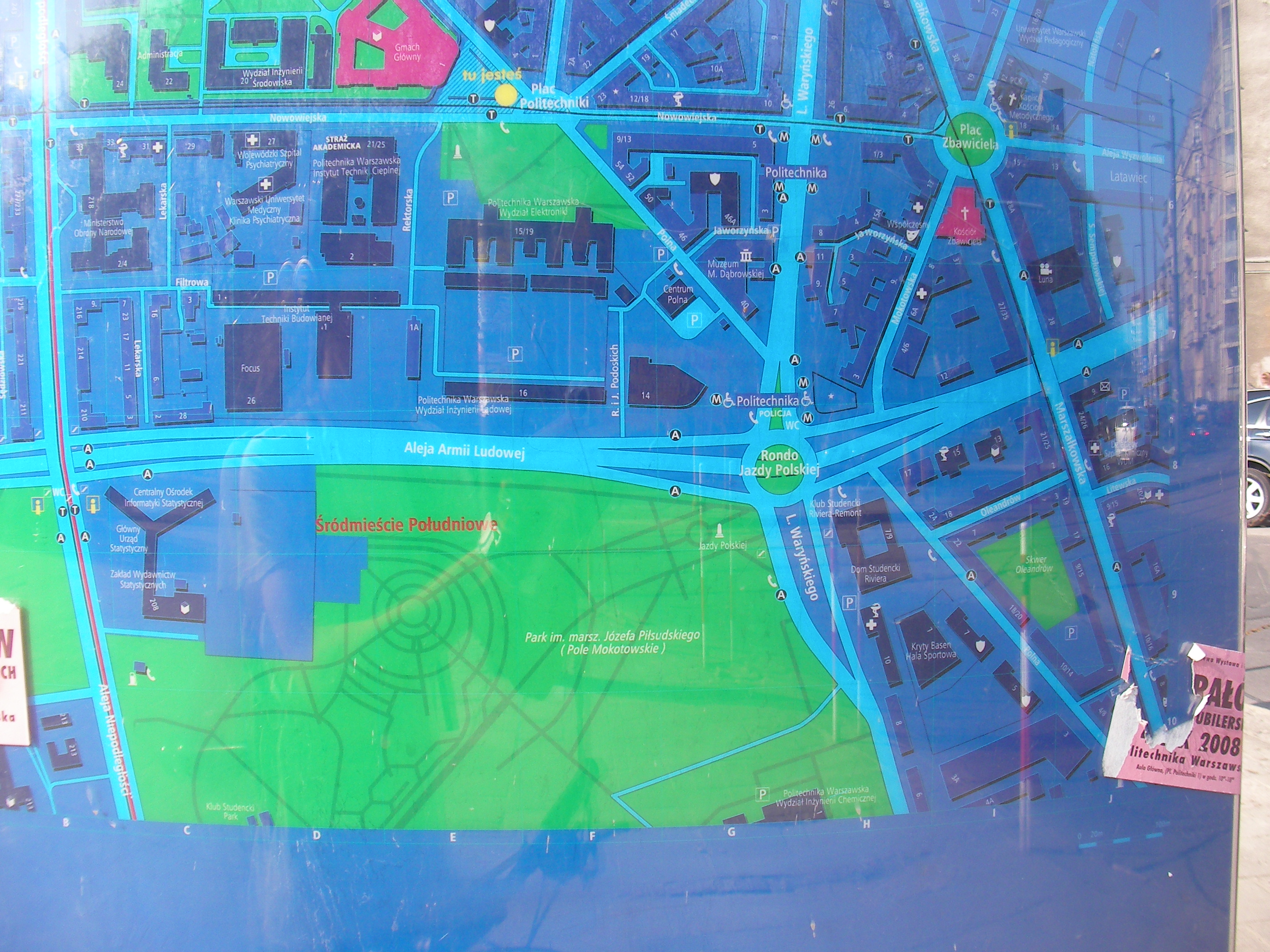
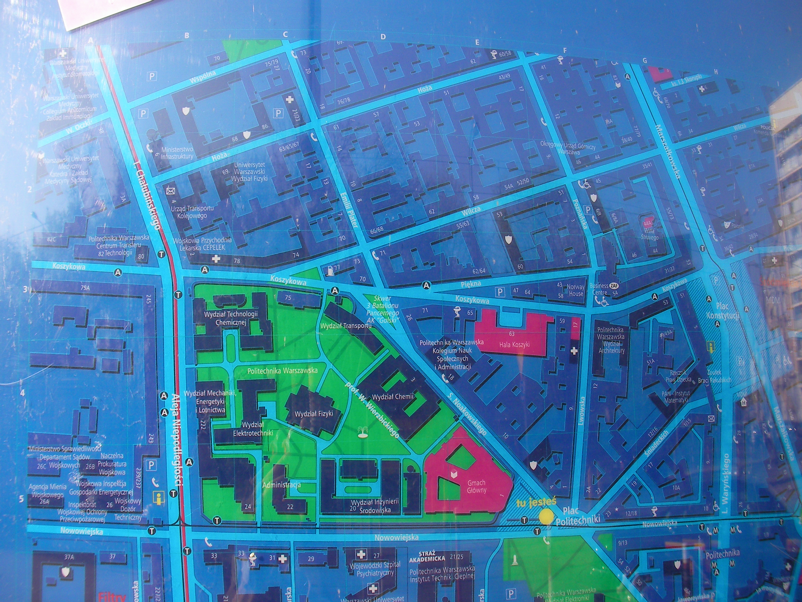
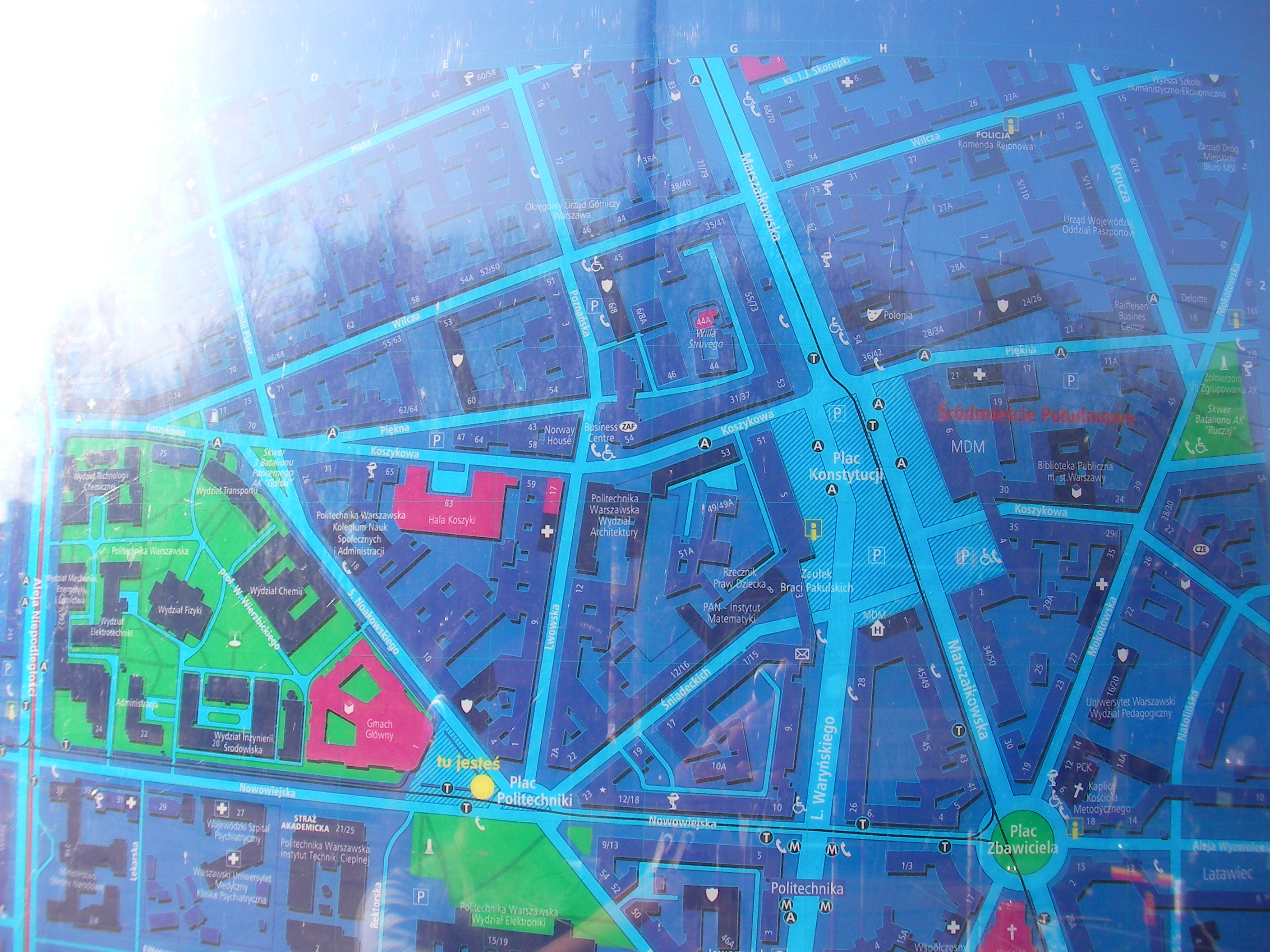
Plac Politechniki
In front of the large (triangular) square in front of Politechnika building (between Nowowiejska & Noakowskiego streets). Approximate location.
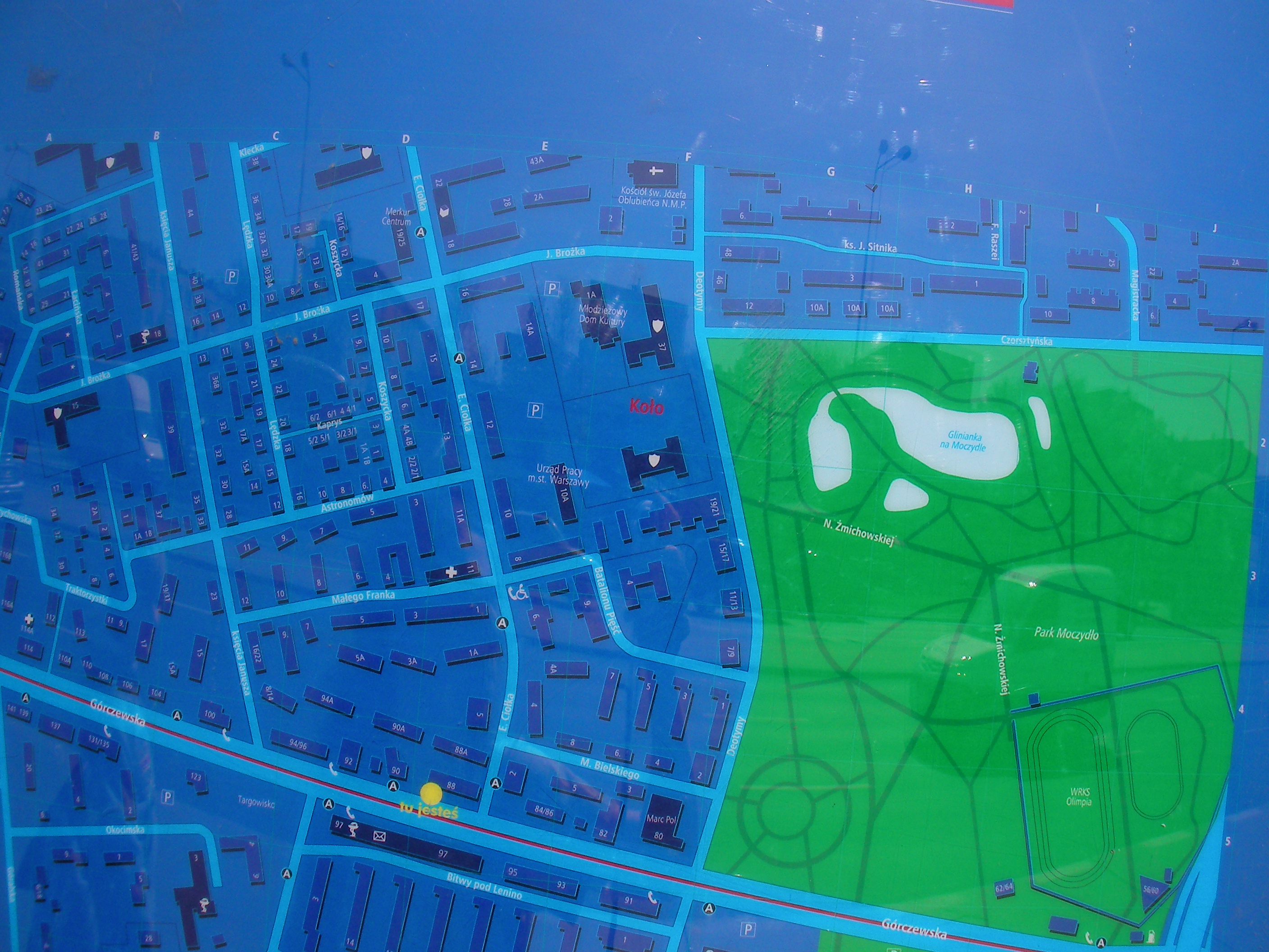
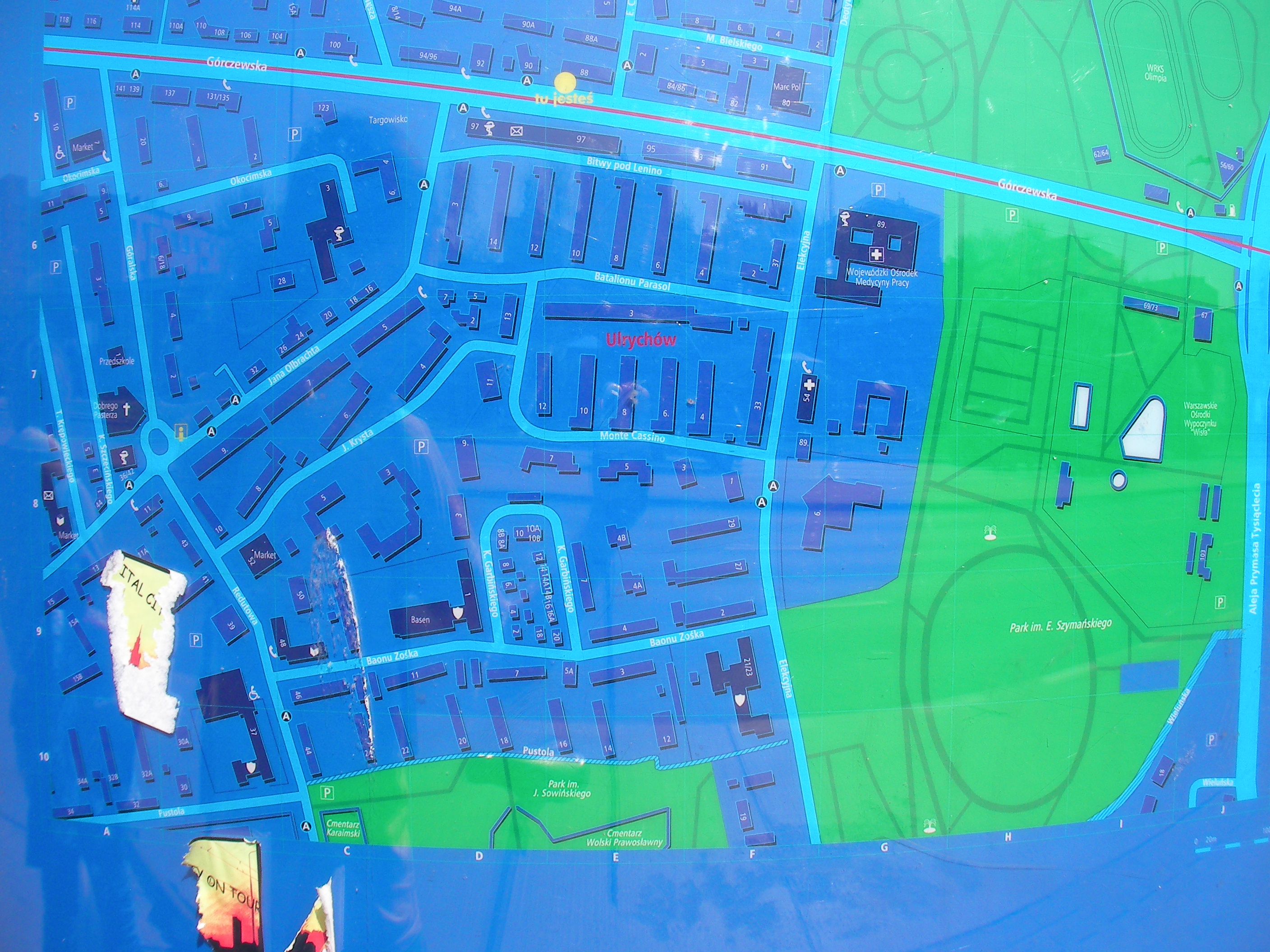
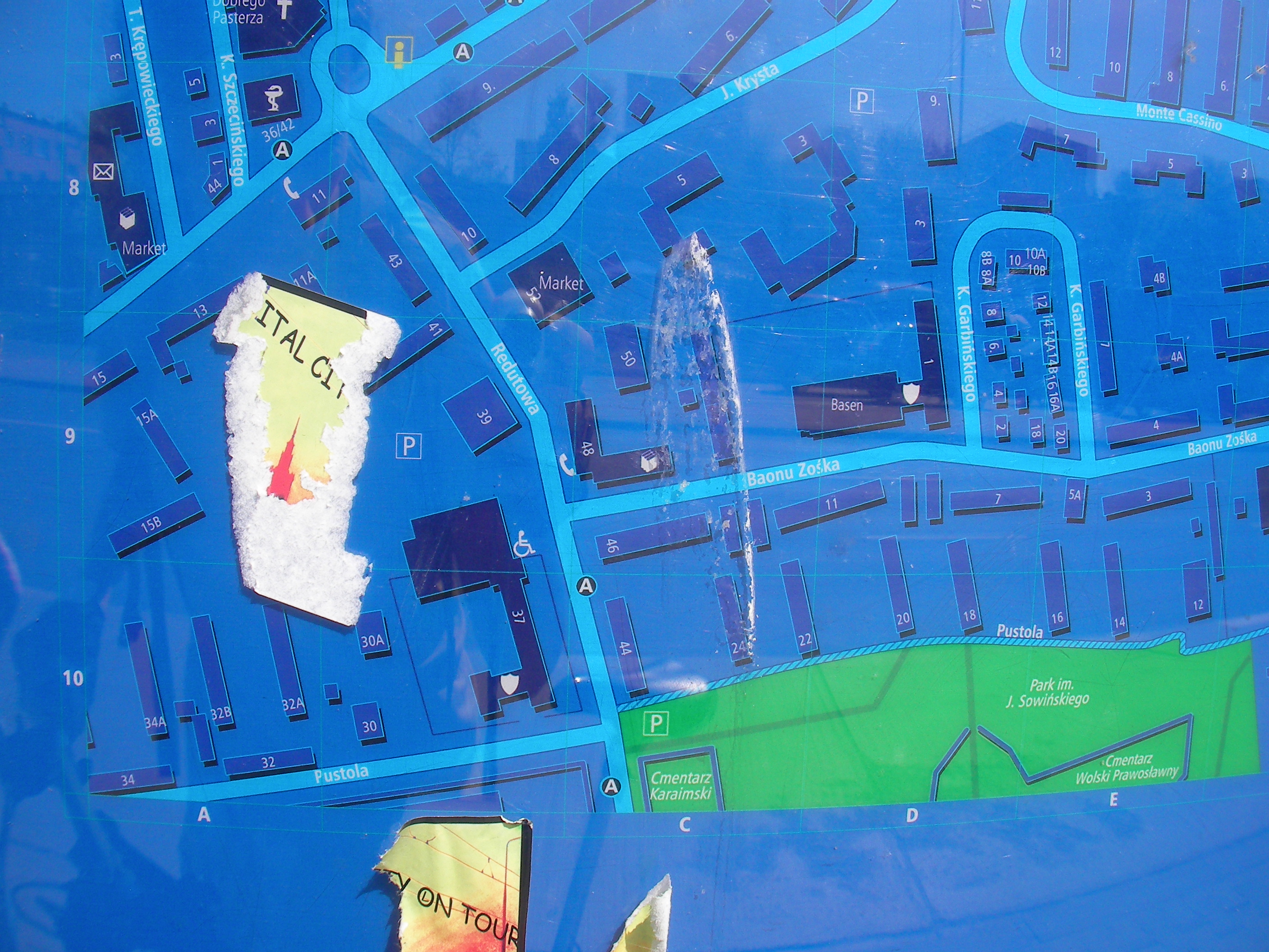
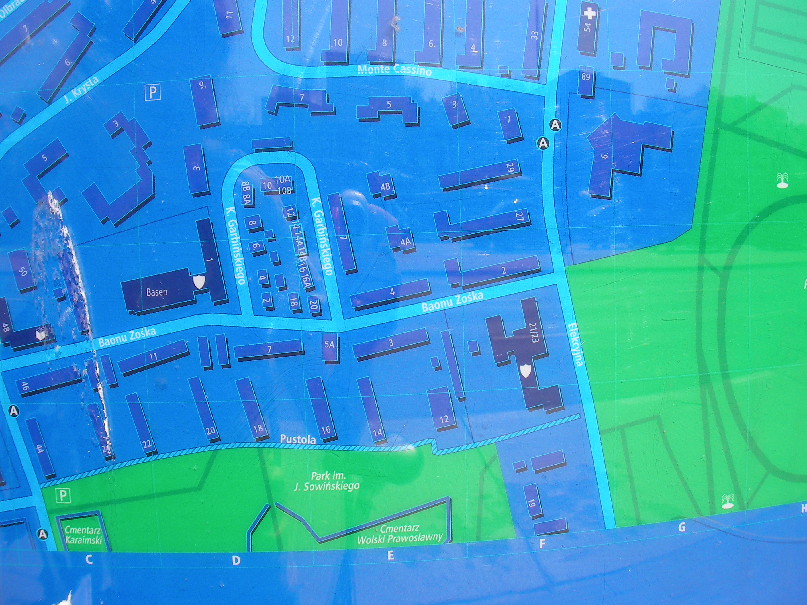
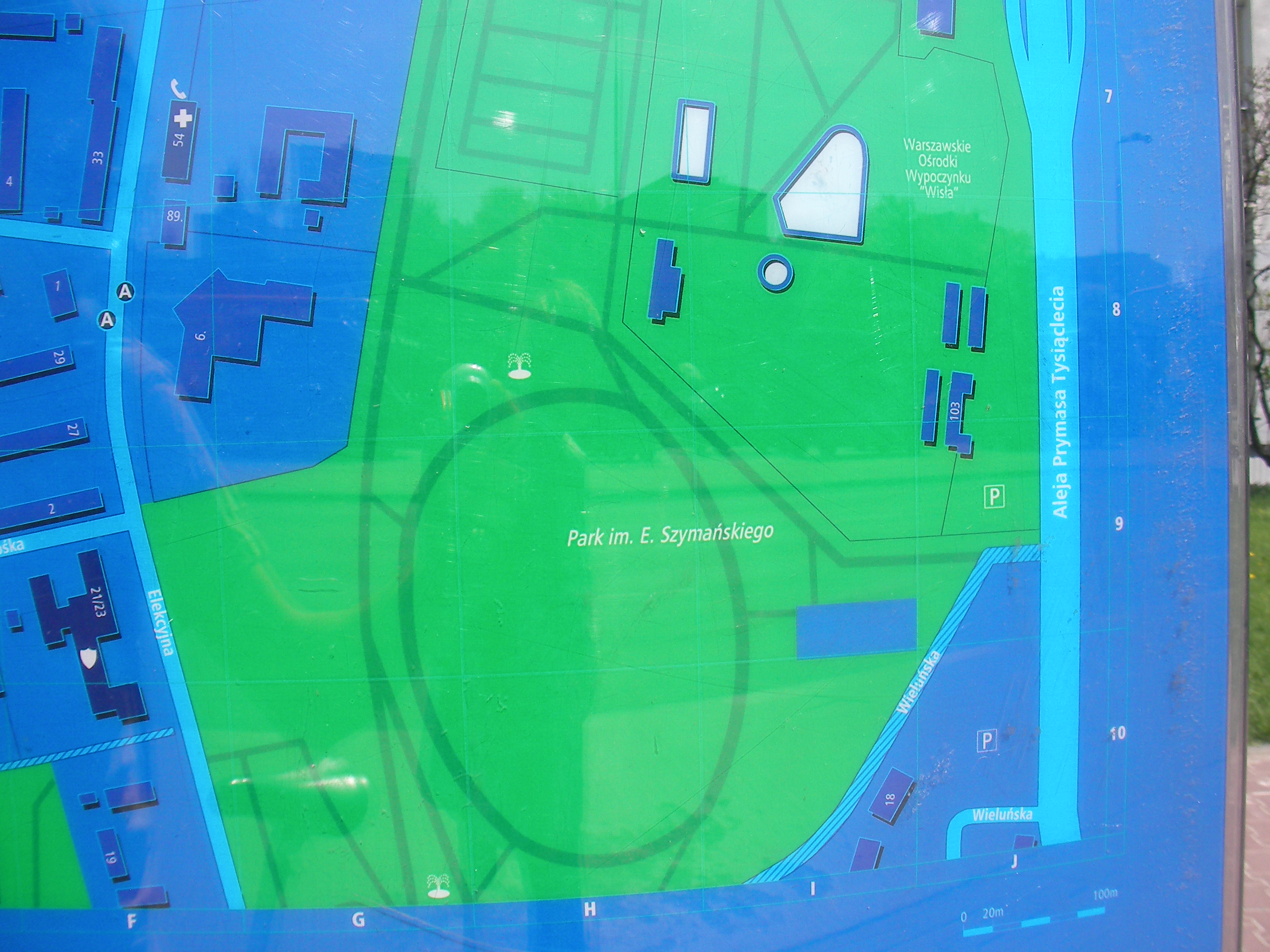
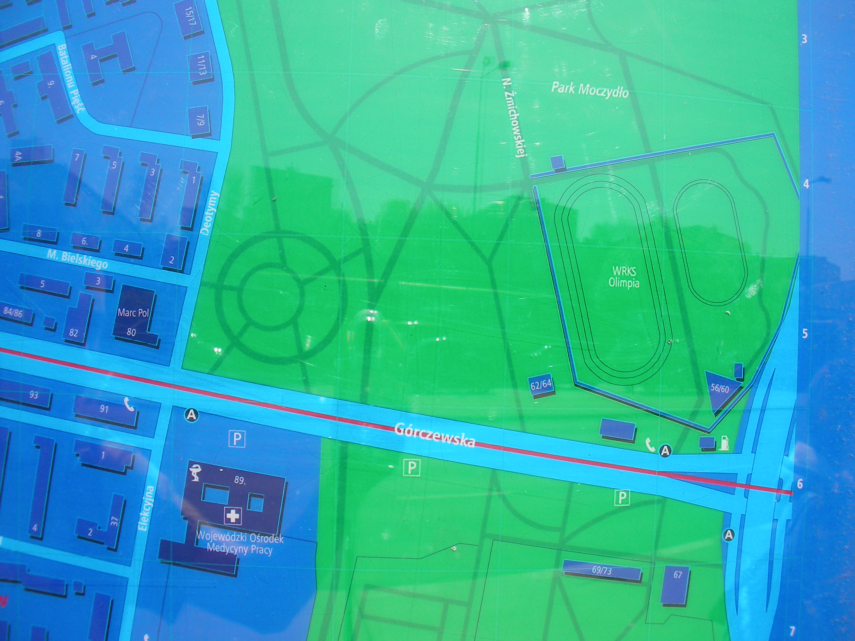
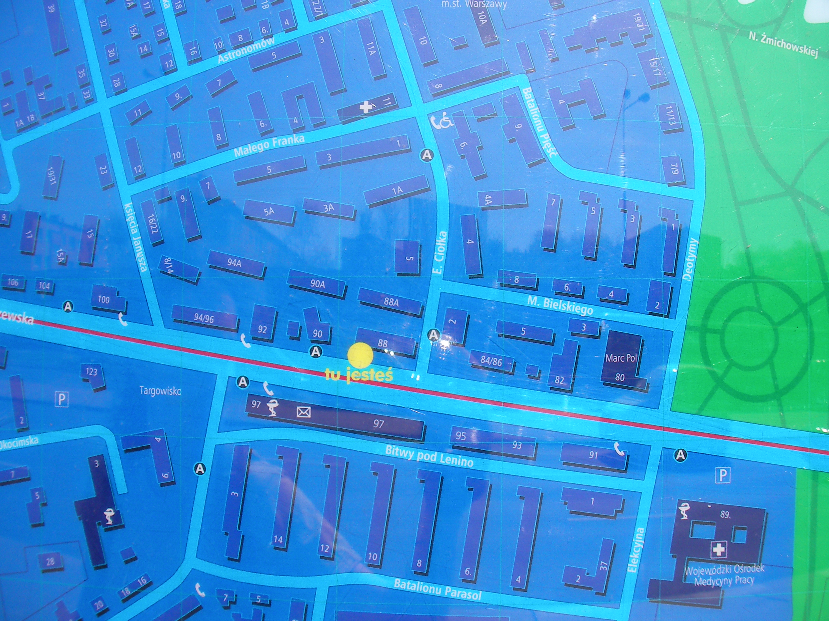
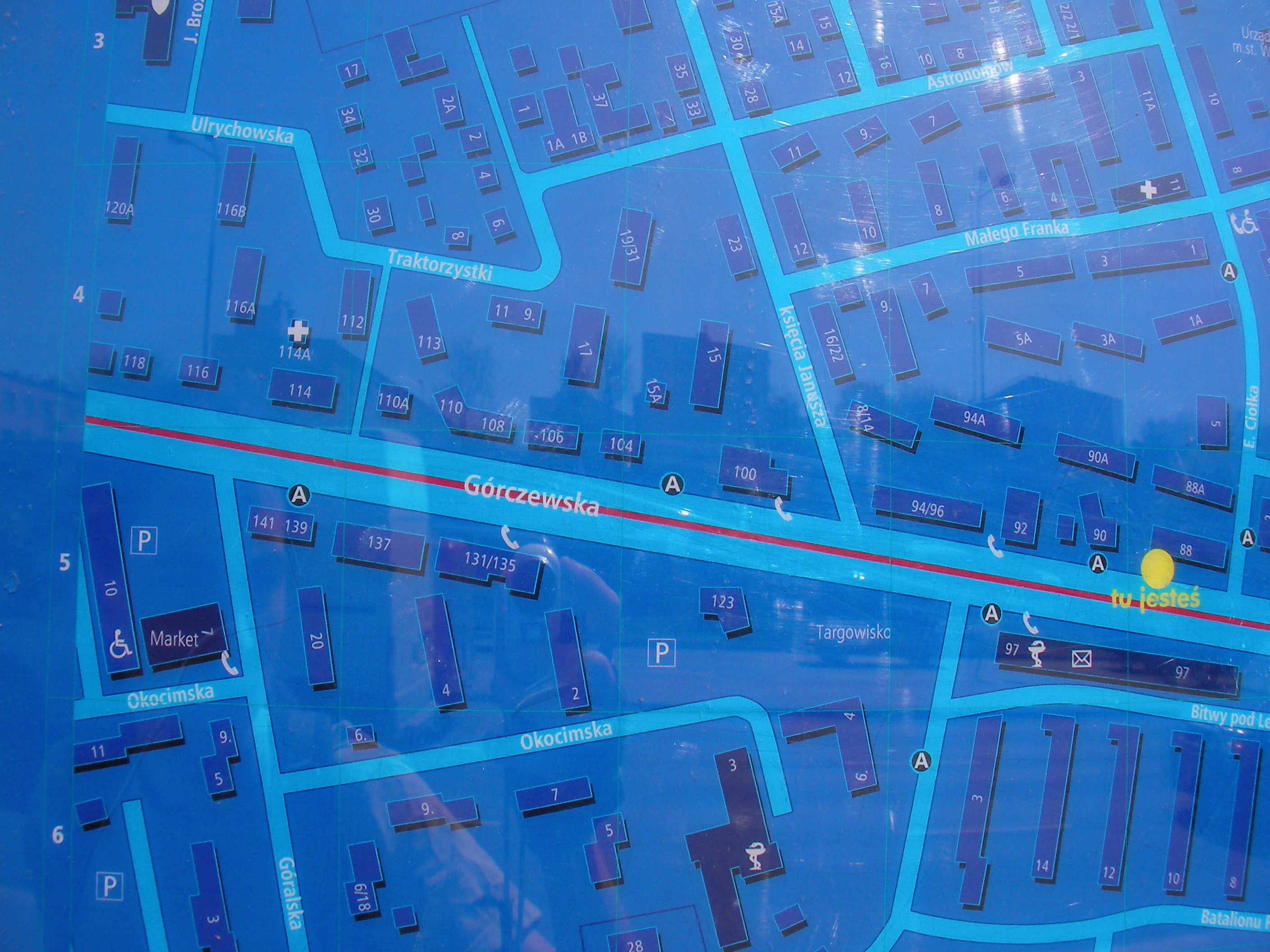
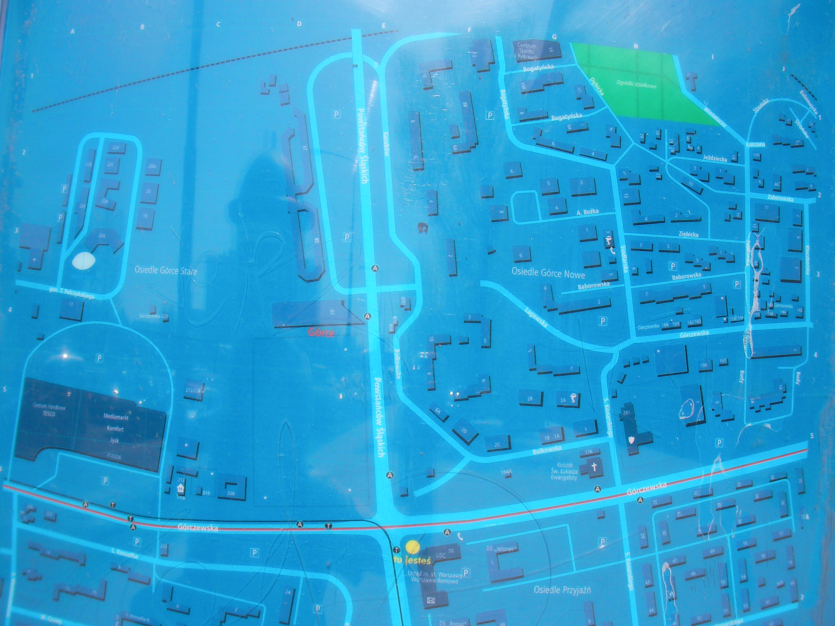
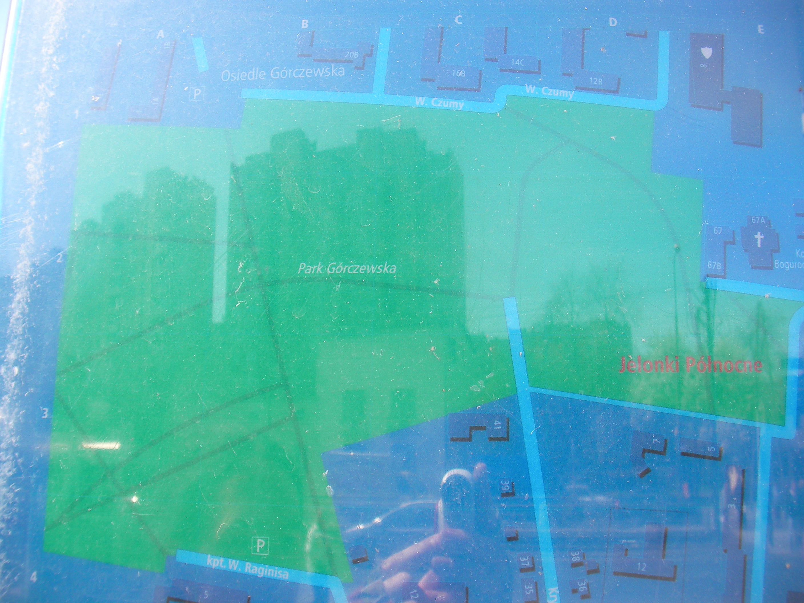
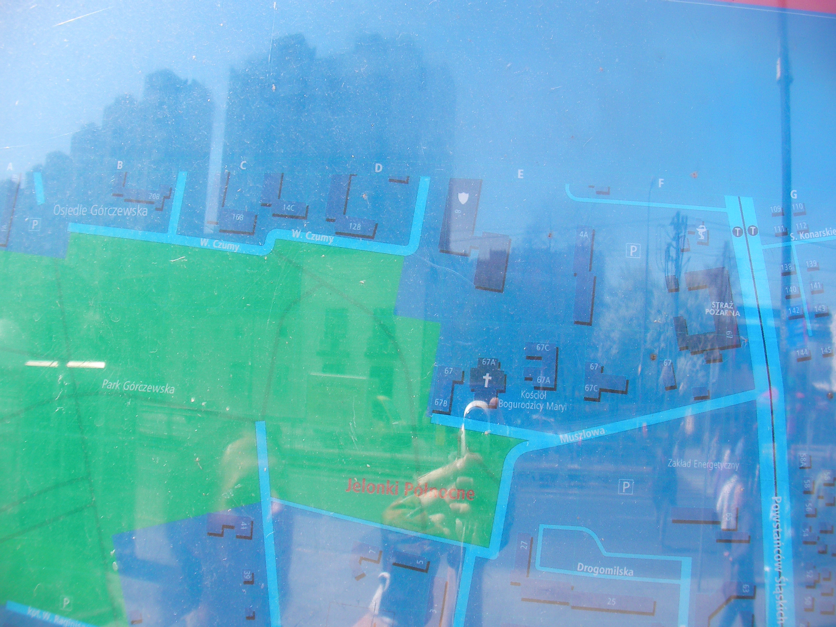
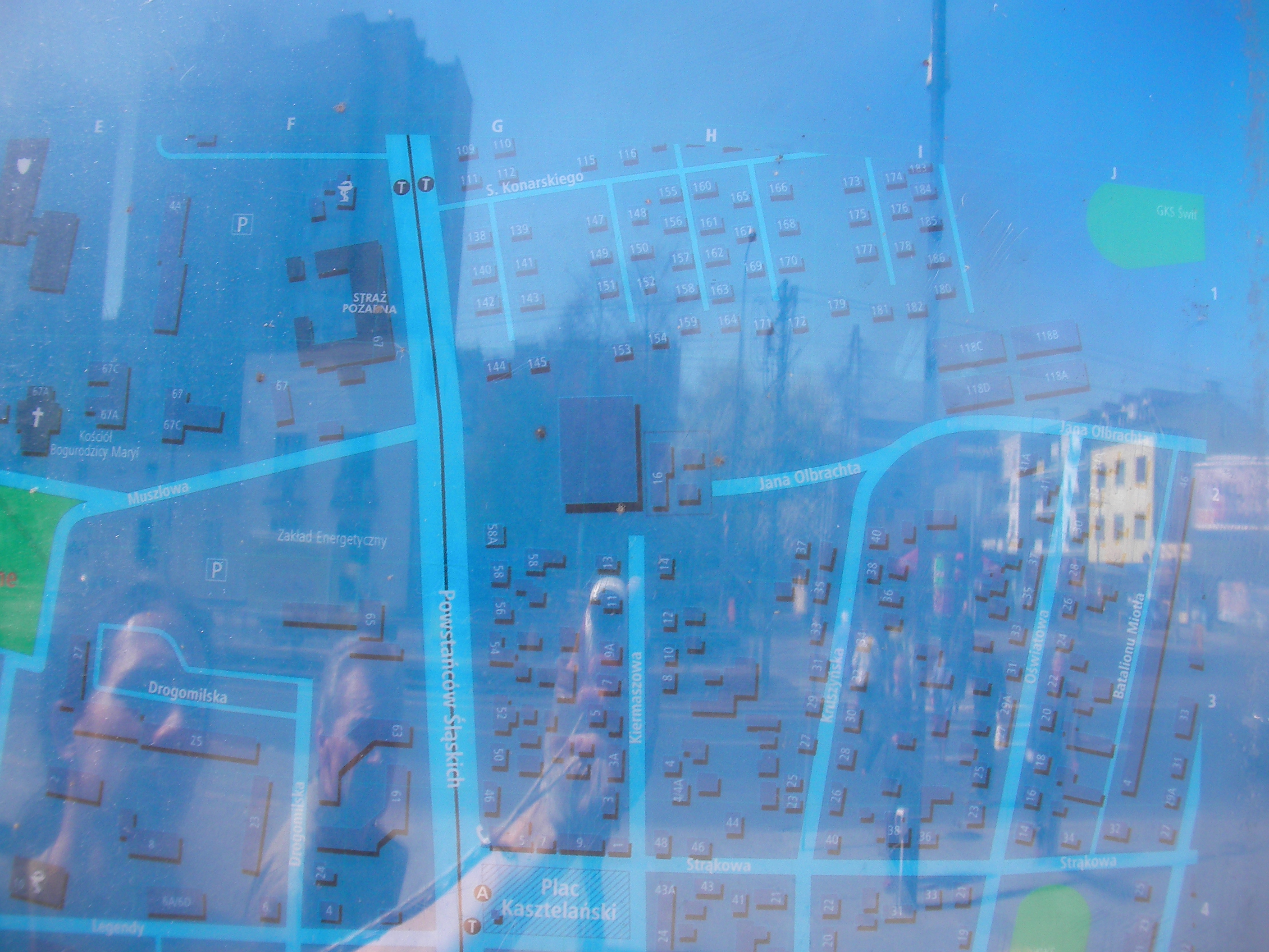
Górczewska
North side of Górczewska next to Jana Olbrachta bus stop. Approximate location.
- Bottom-right, Top-right, Middle, Top, Bottom, Bottom-left, Bottom, Bottom-right, Right, Middle, Left, Top-left, Top, Top-right.
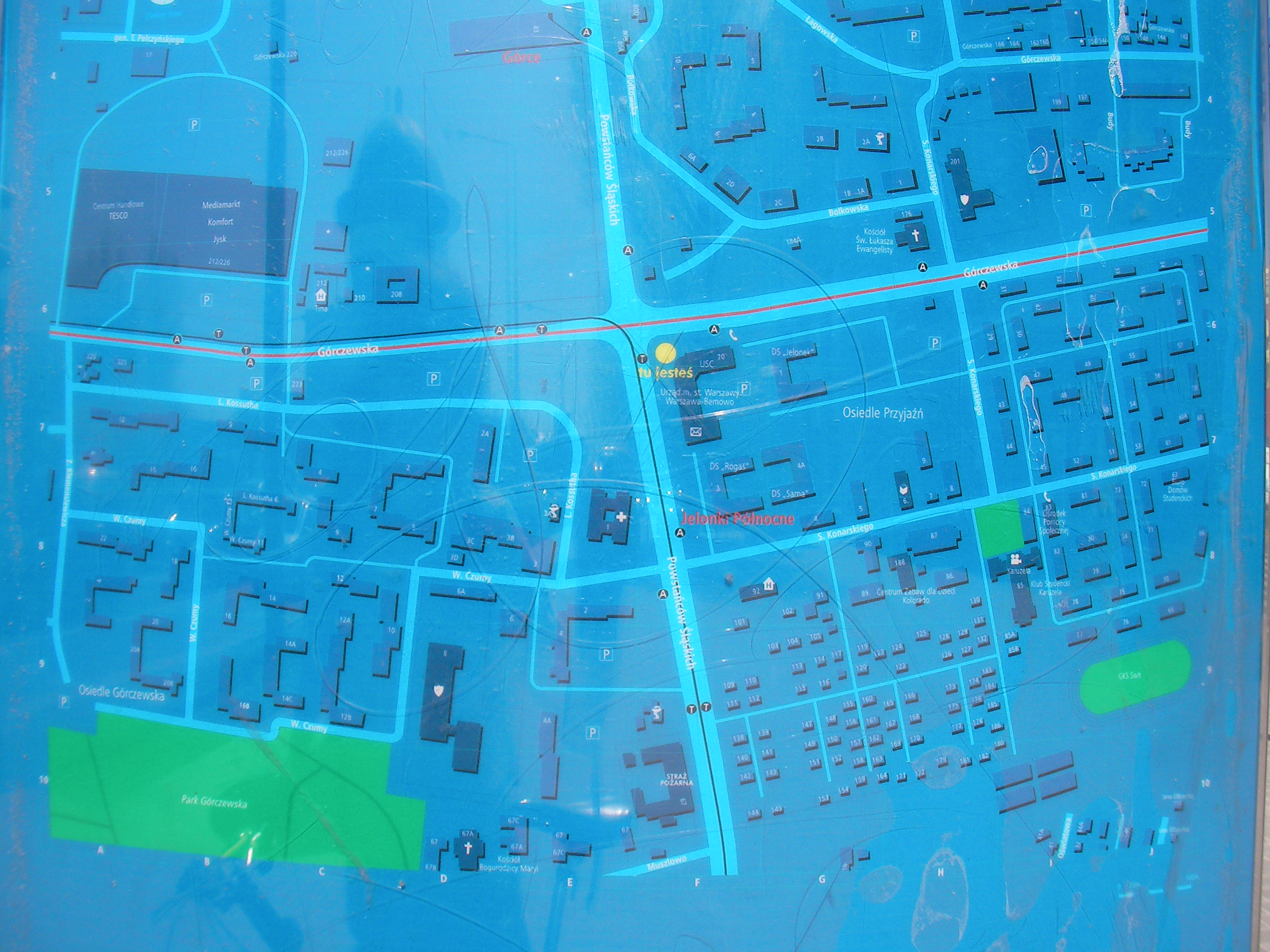
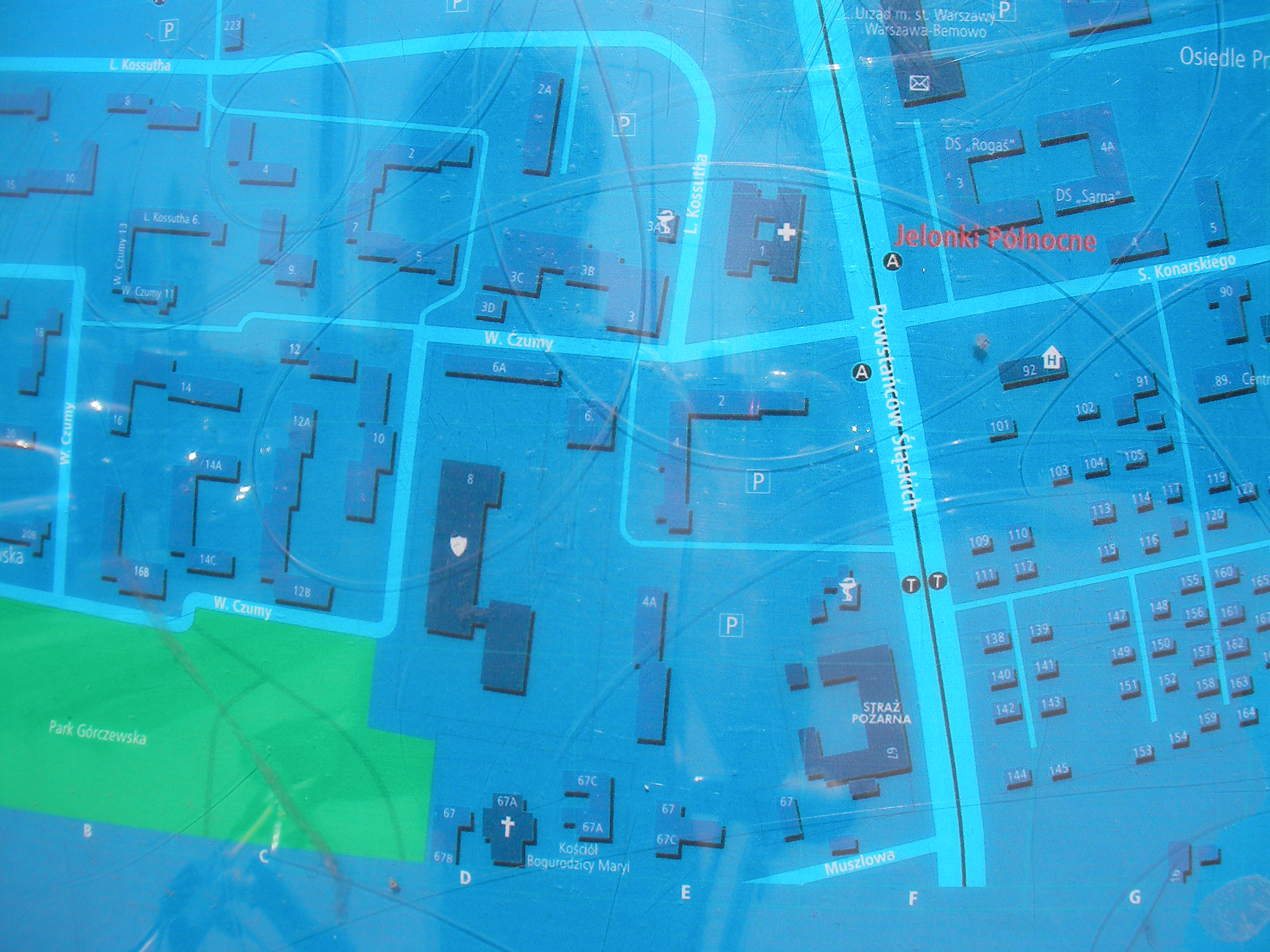
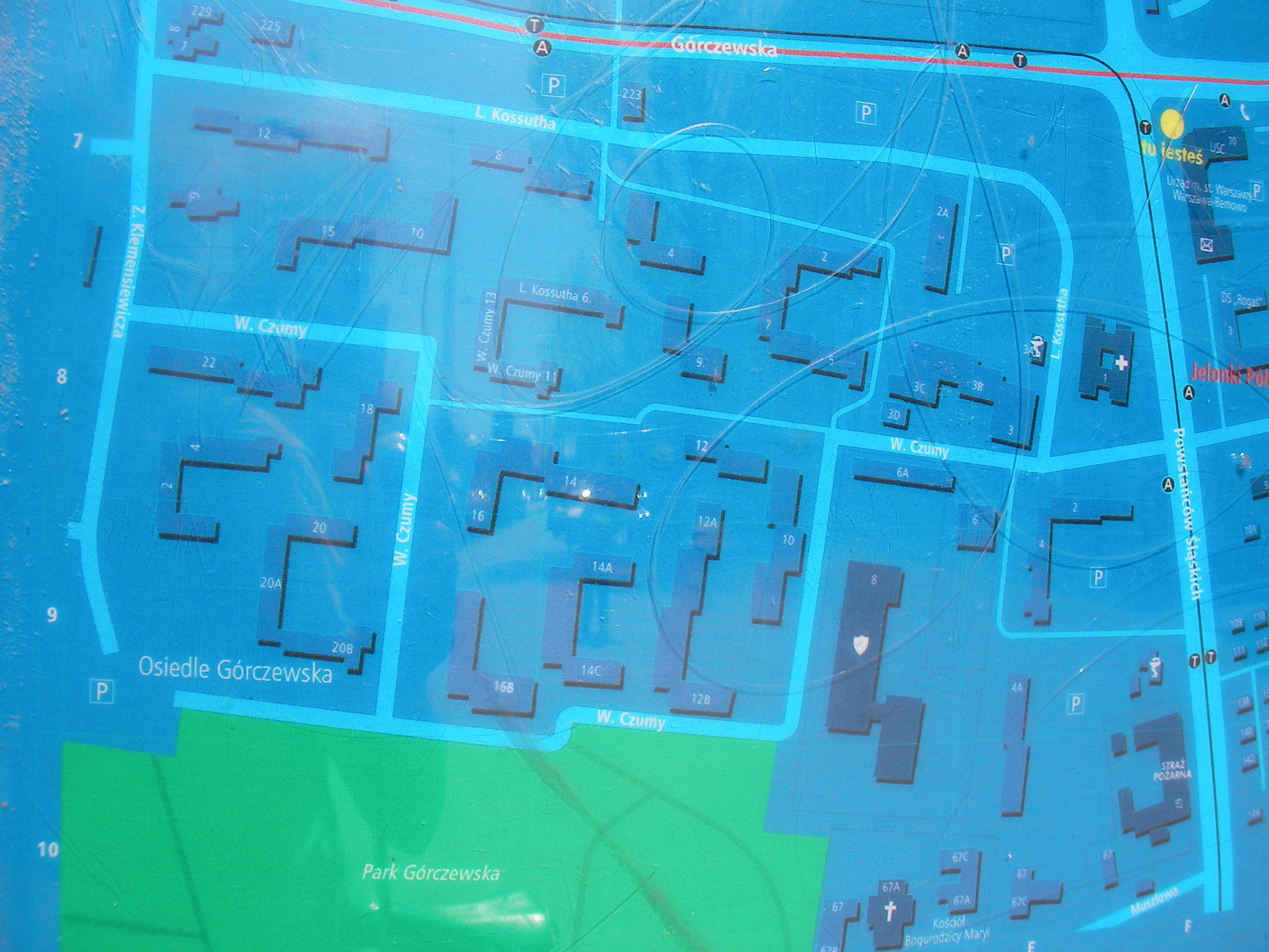
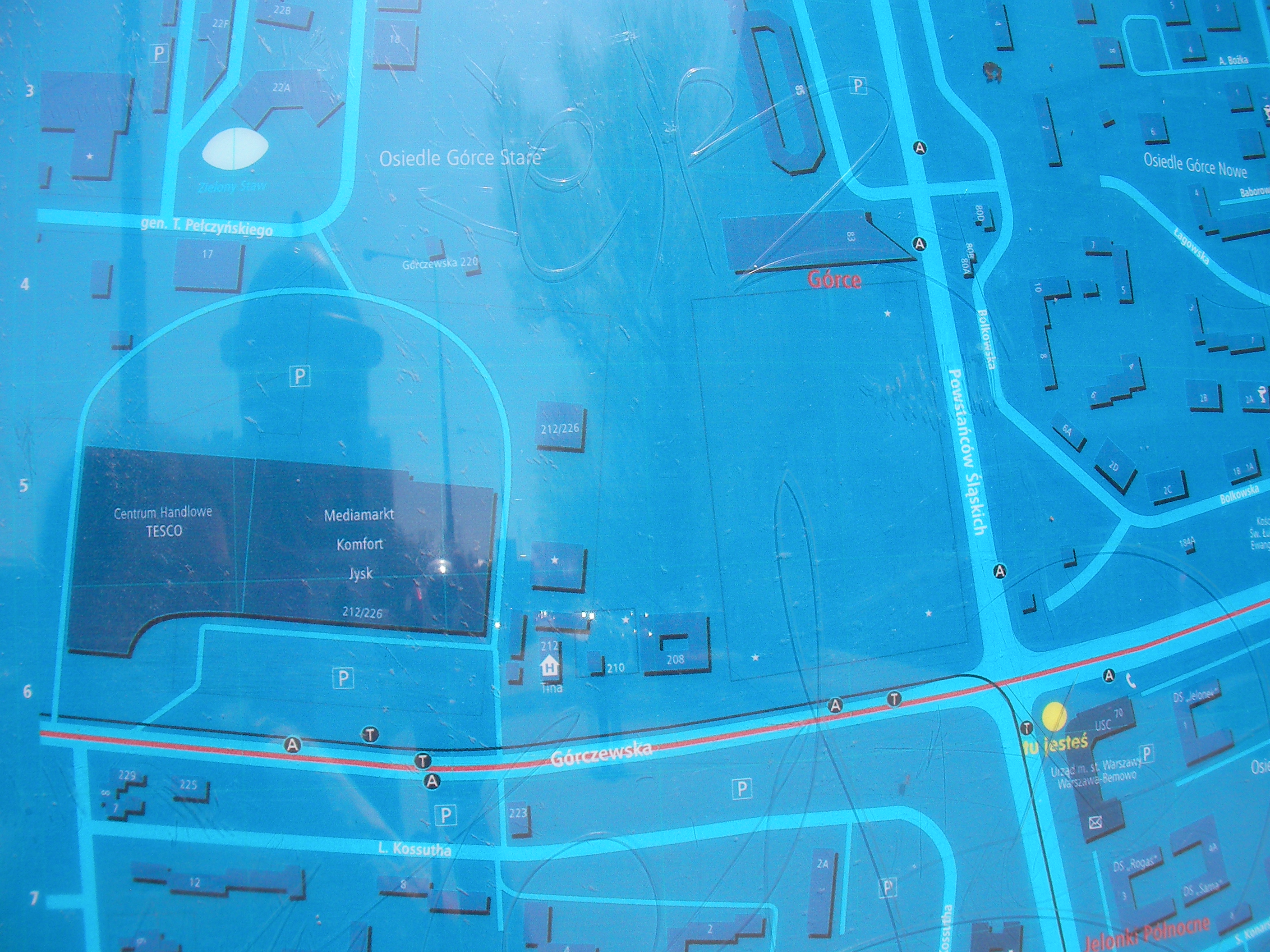
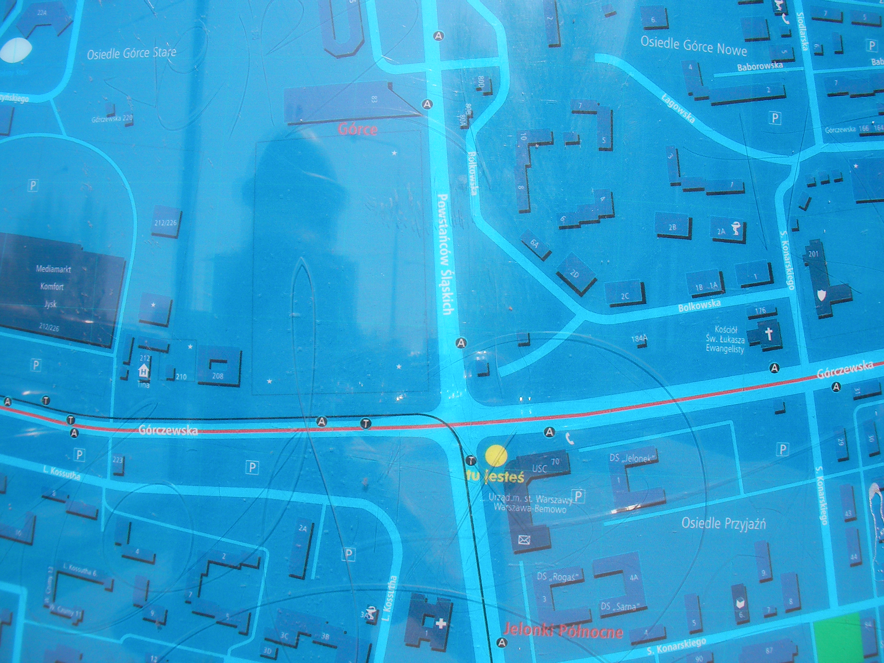
Powstańców Śląskich
South-east corner of the Górczewska & Powstańców Śląskich crossing, in from of city offices. Approximate location.
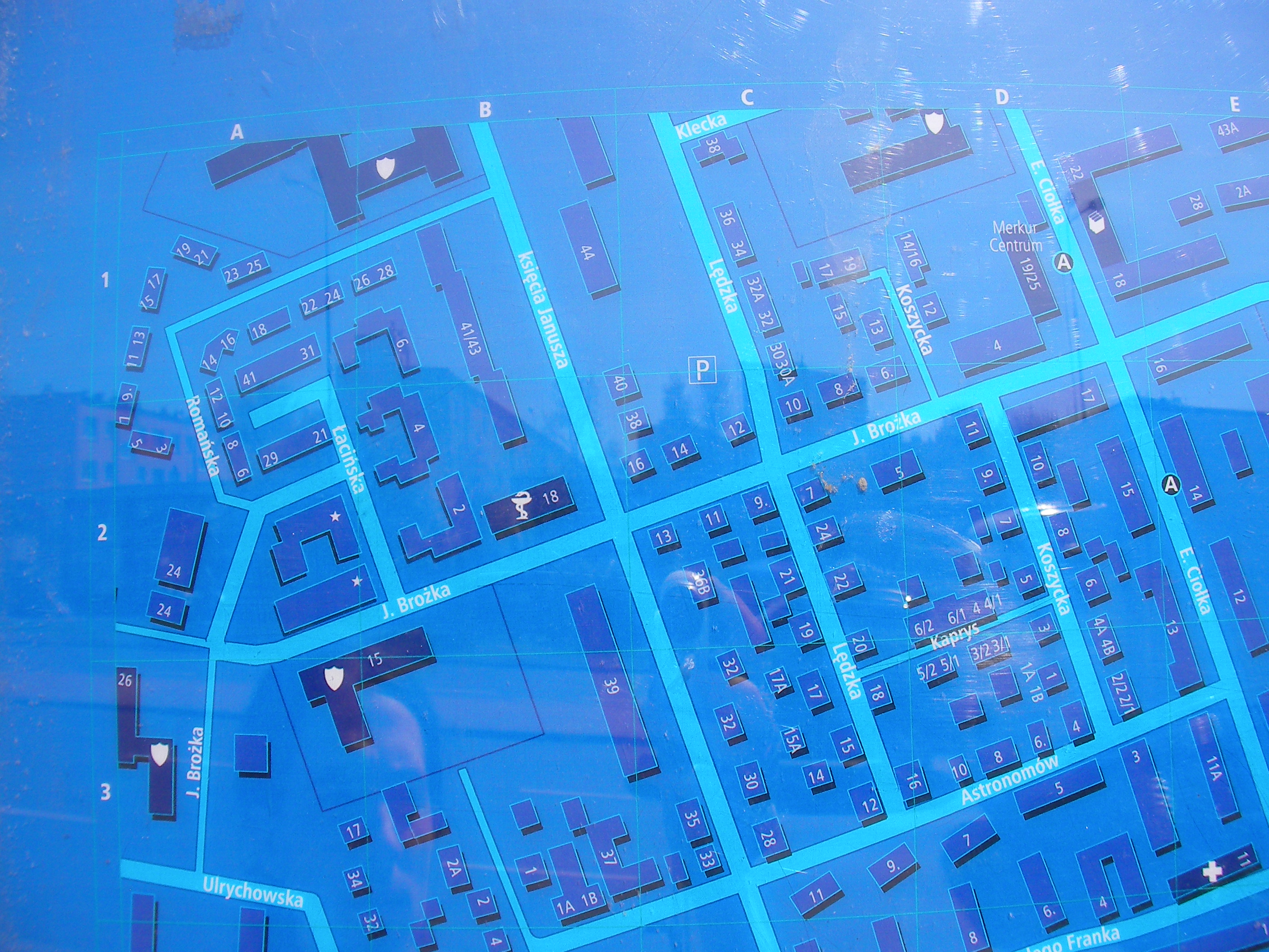
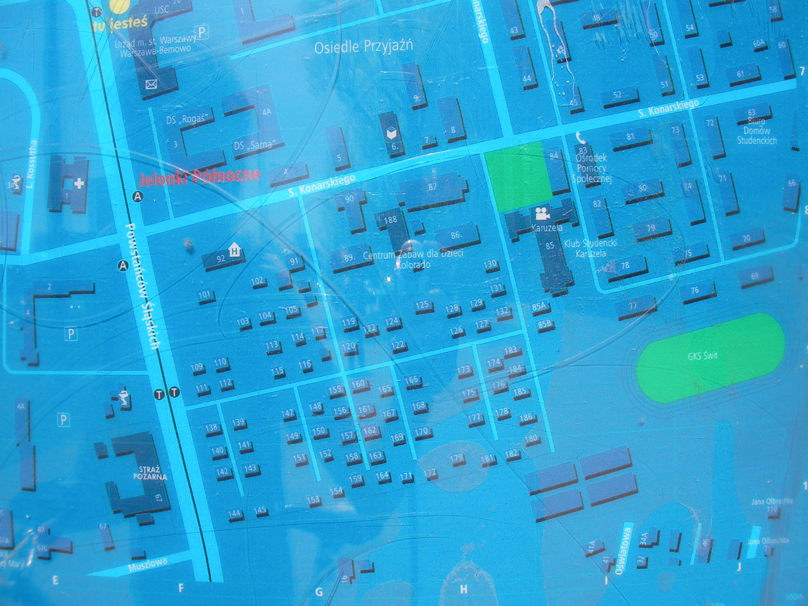
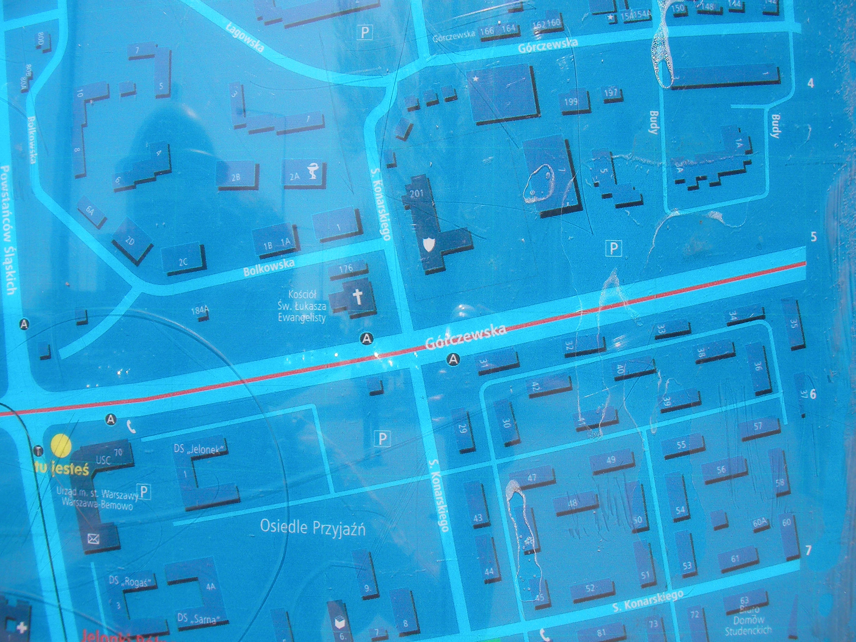
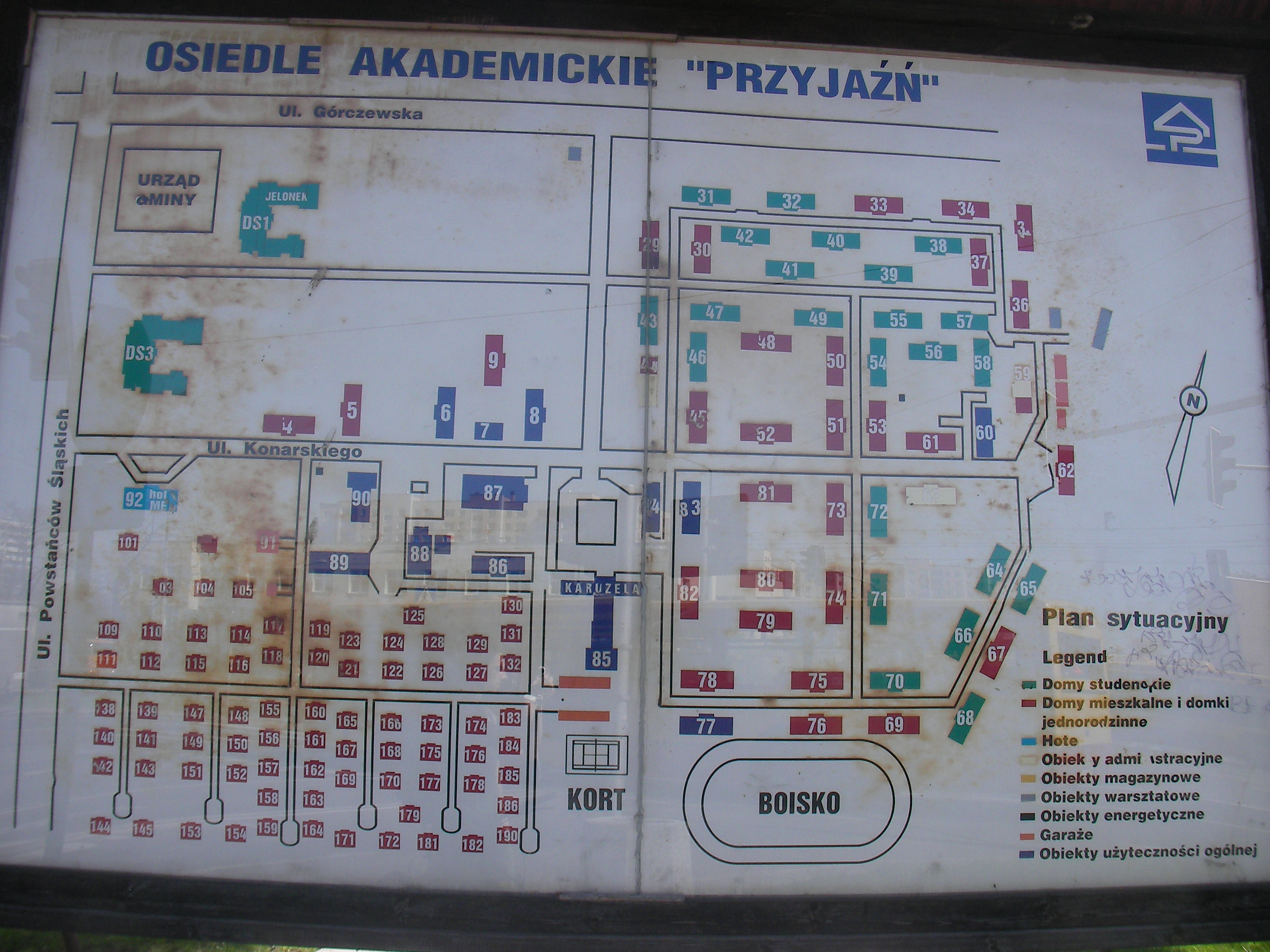
Osiedle akademickie "Przyjaźń"
An old schematic map at a corner of the "Przyjaźń" suburb, crossing of the streets Powstańców Śląskich and Konarskiego. Approximate location.
- Map.
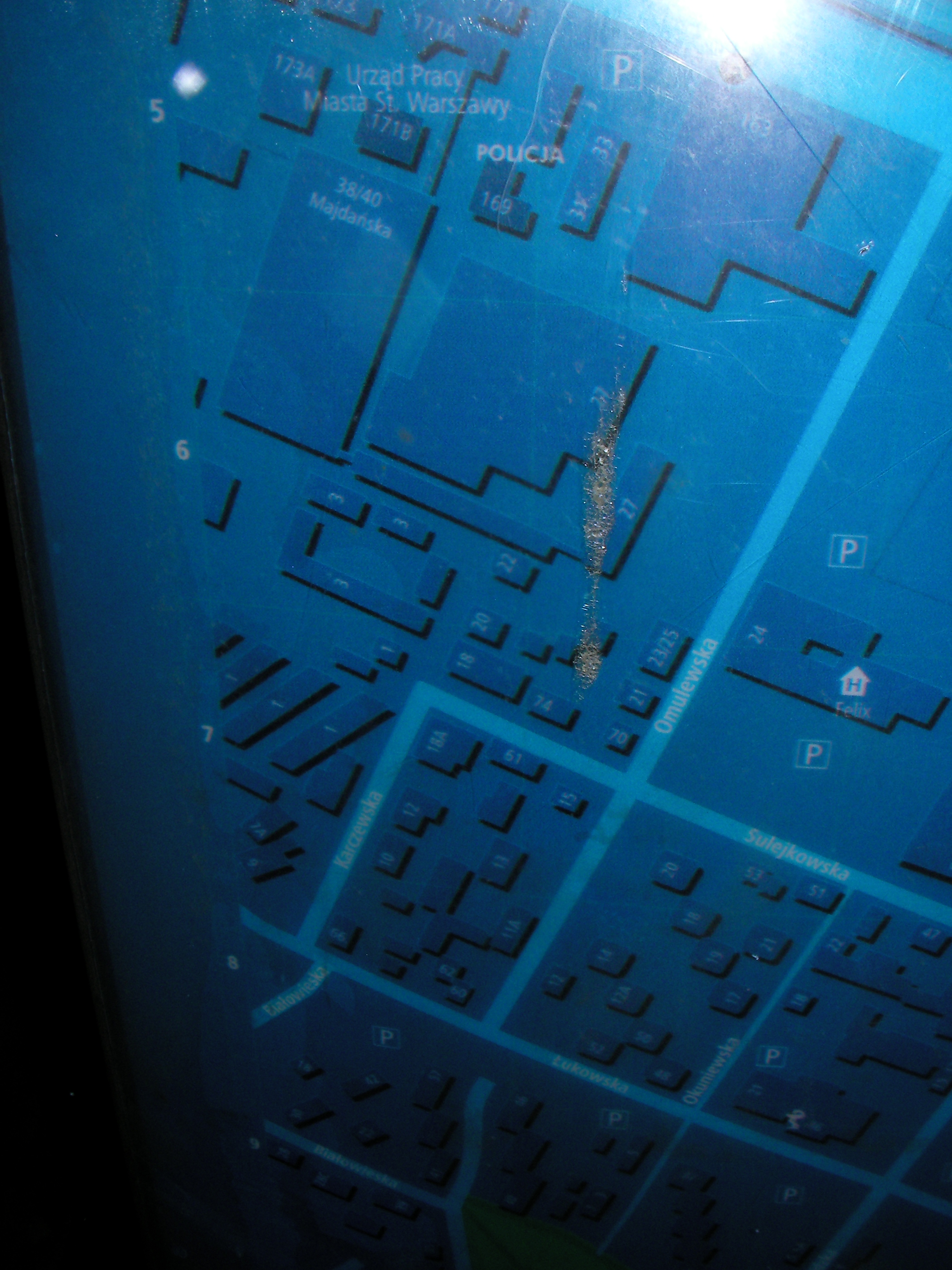
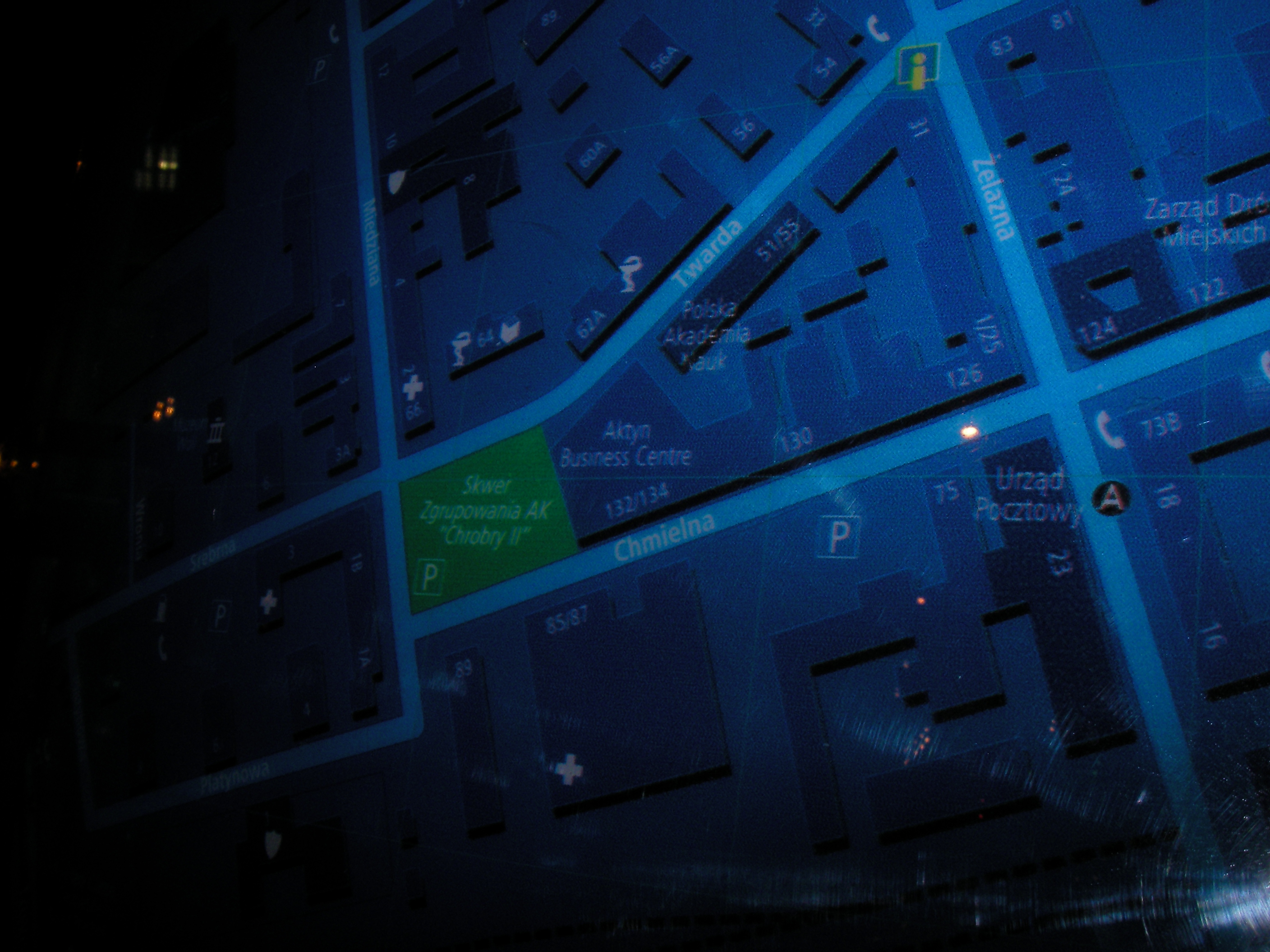
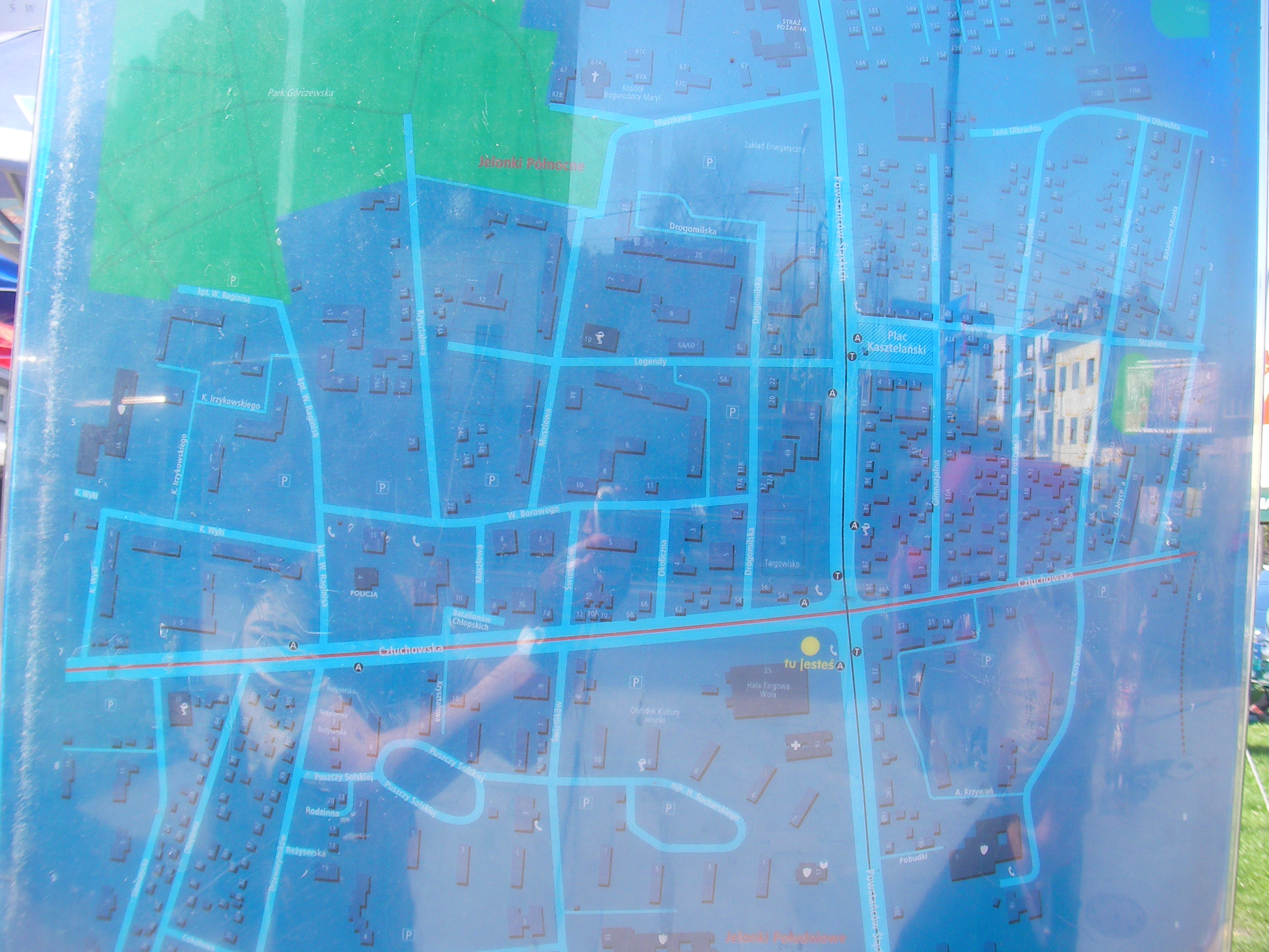
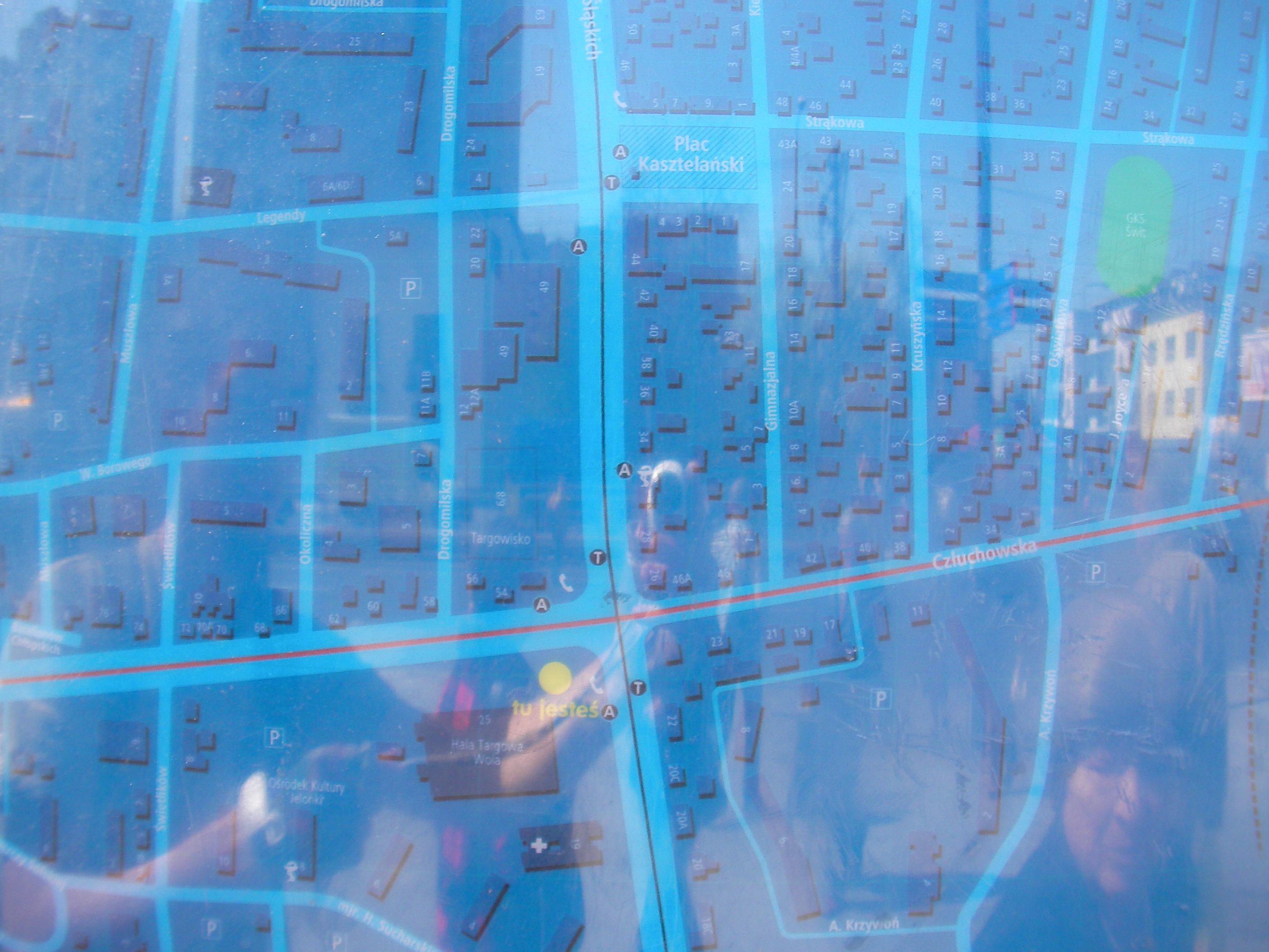
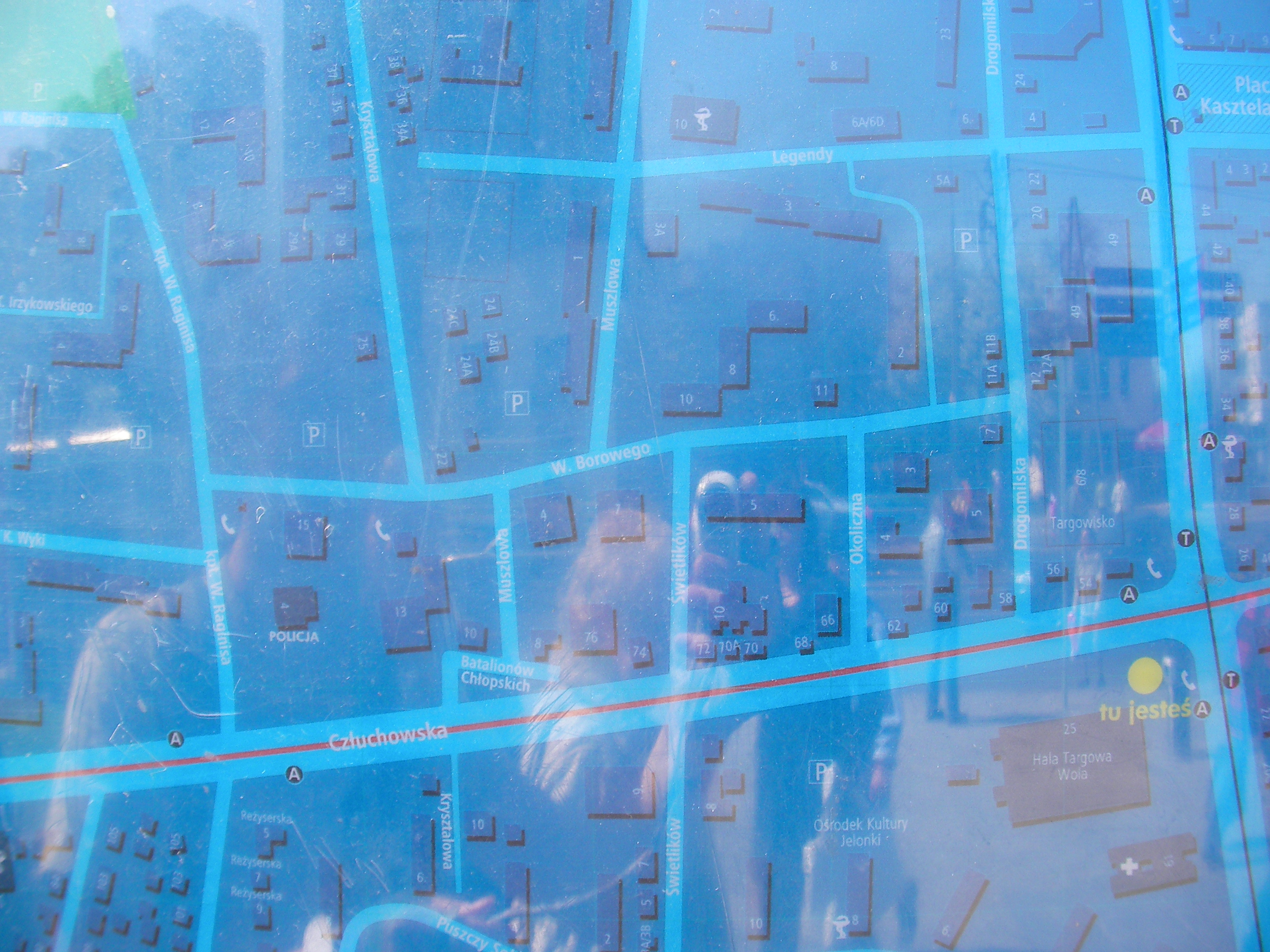
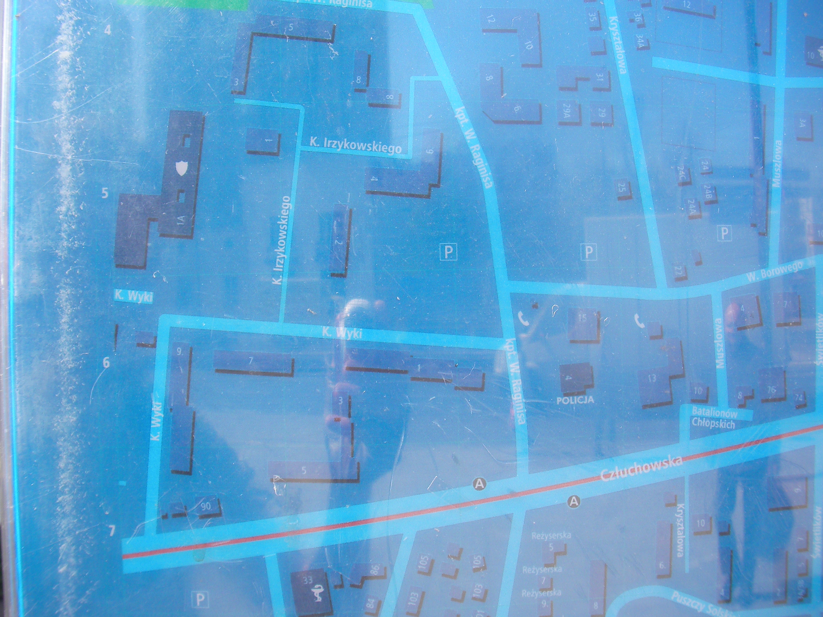
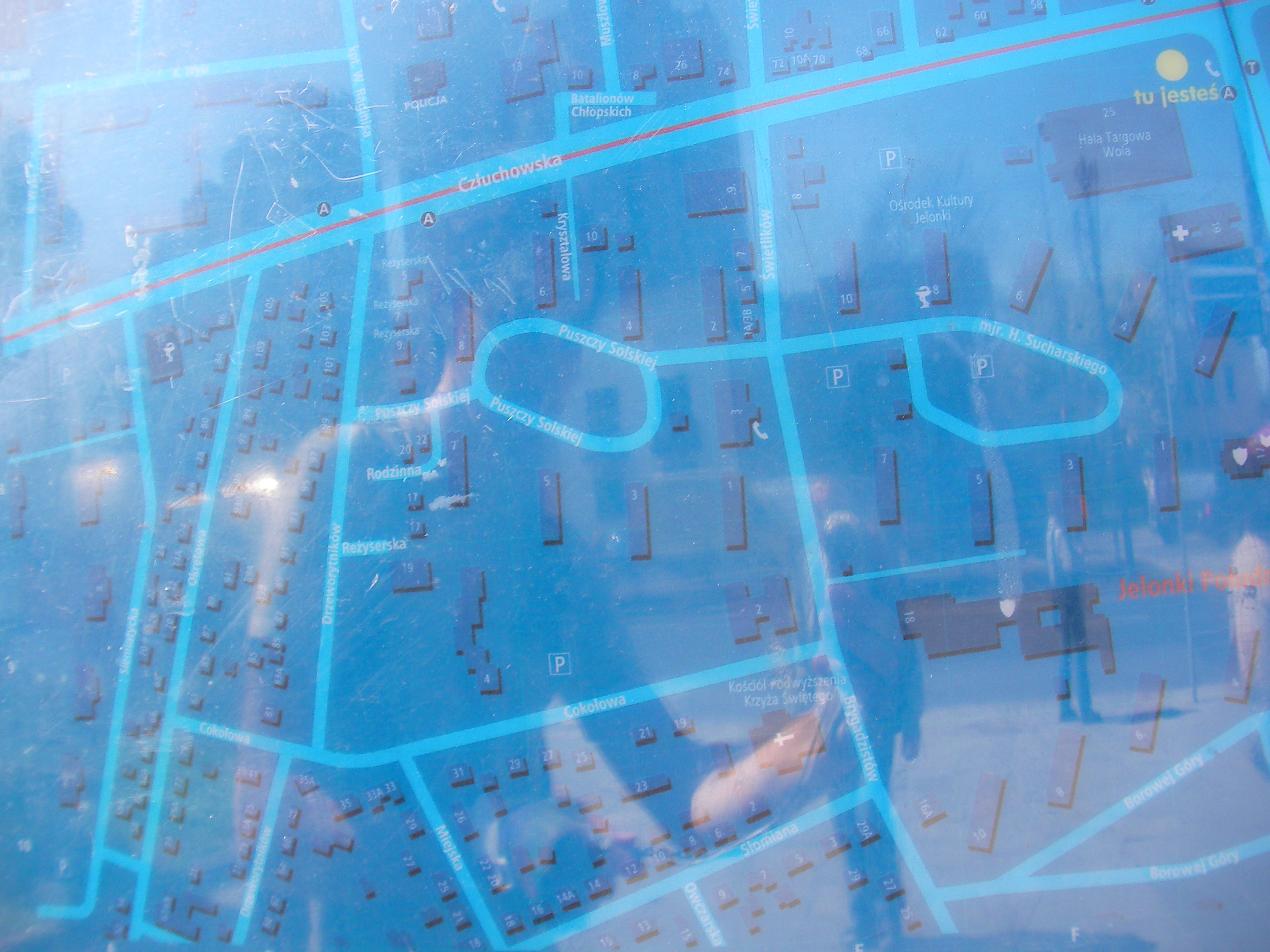
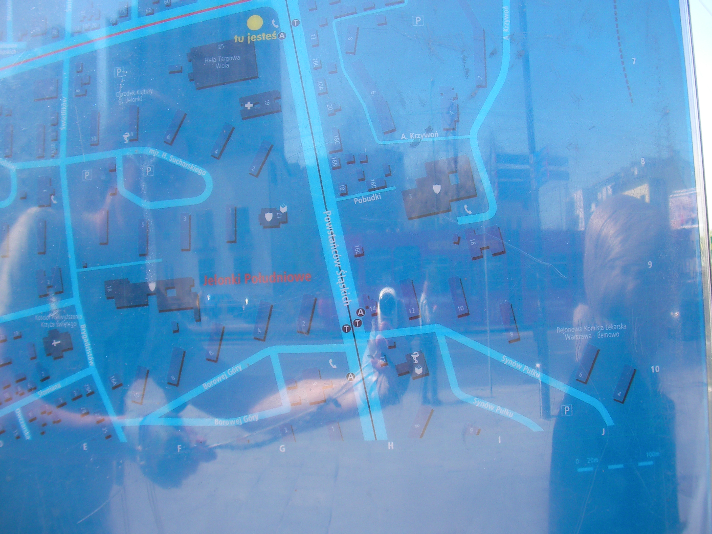
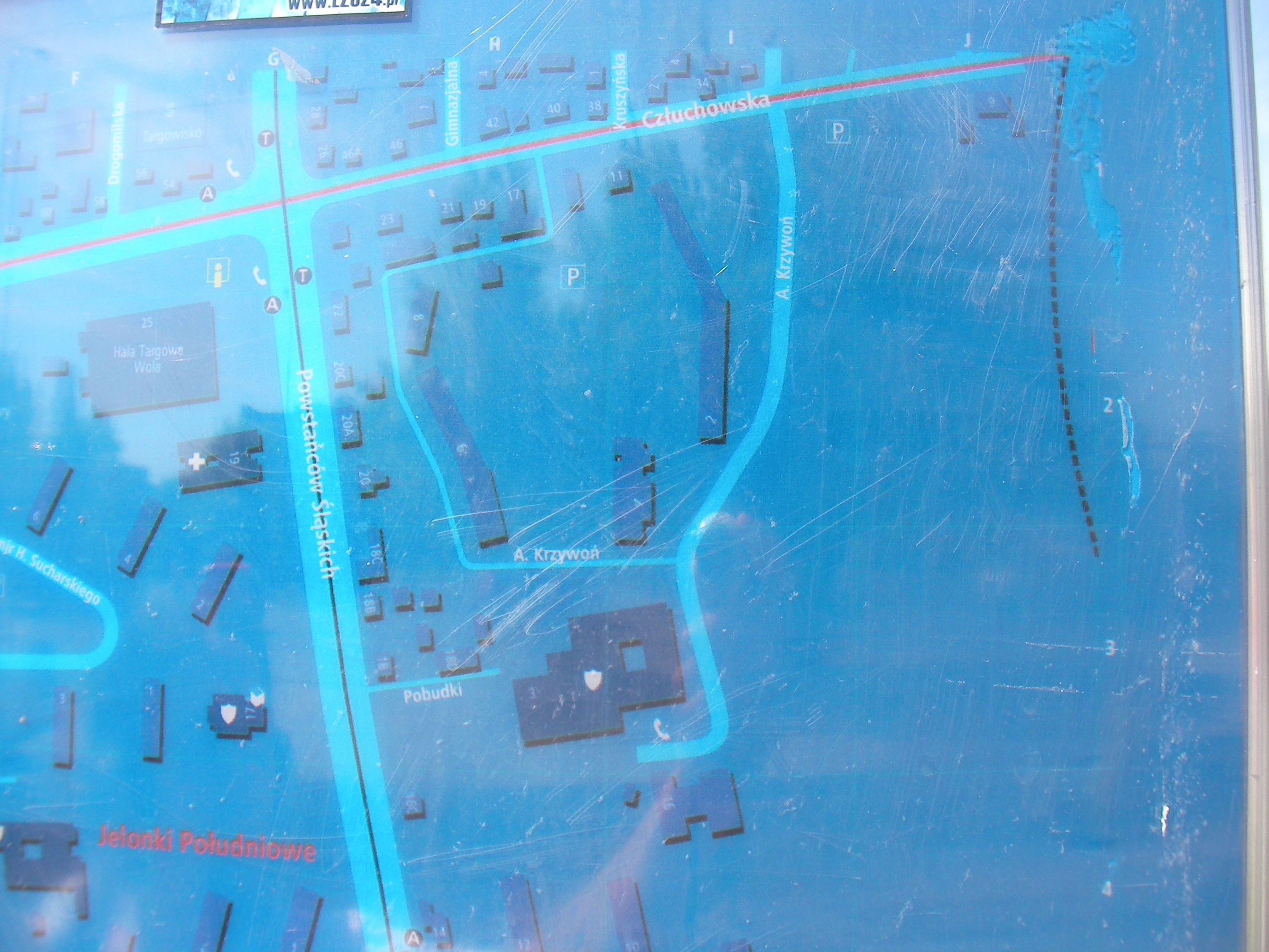
Człuchowska, Hala Wola
In front of Hala Targowa Wola market place, streets Człuchowska and Powstańców Śląskich. Approximate location.
- Middle, Top-left, Top, Top-right, Right, Middle, Left, Bottom-left, Bottom, Bottom-right, Overview, Top-left.
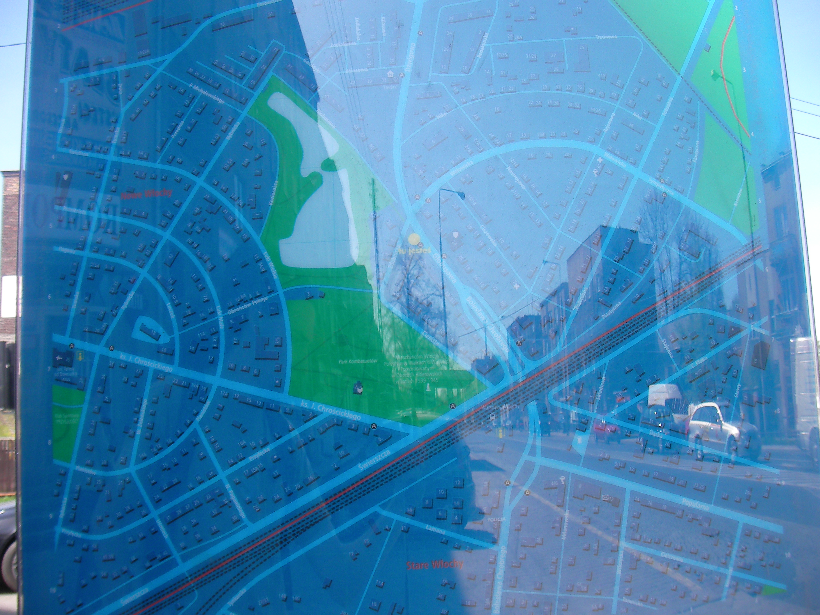
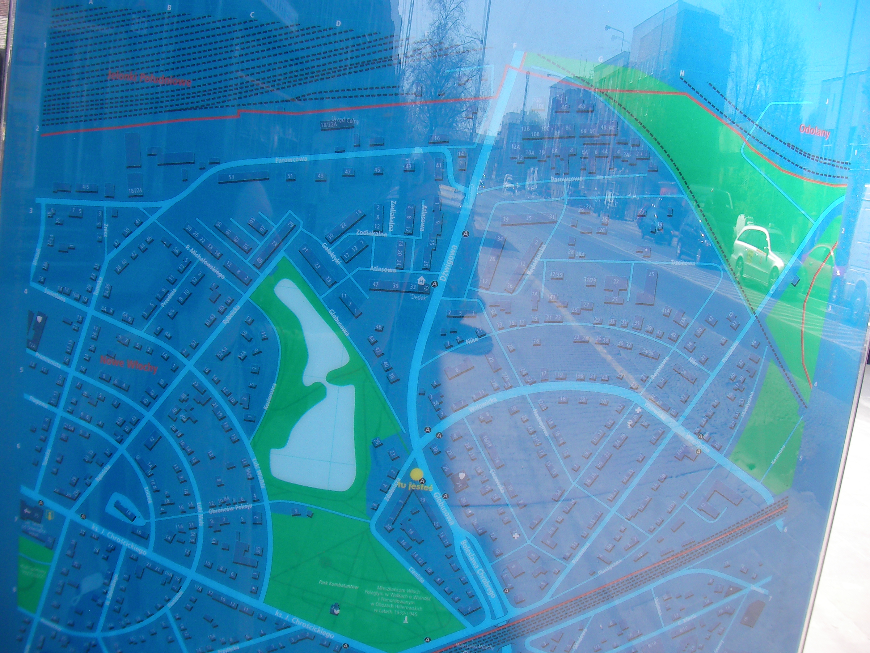
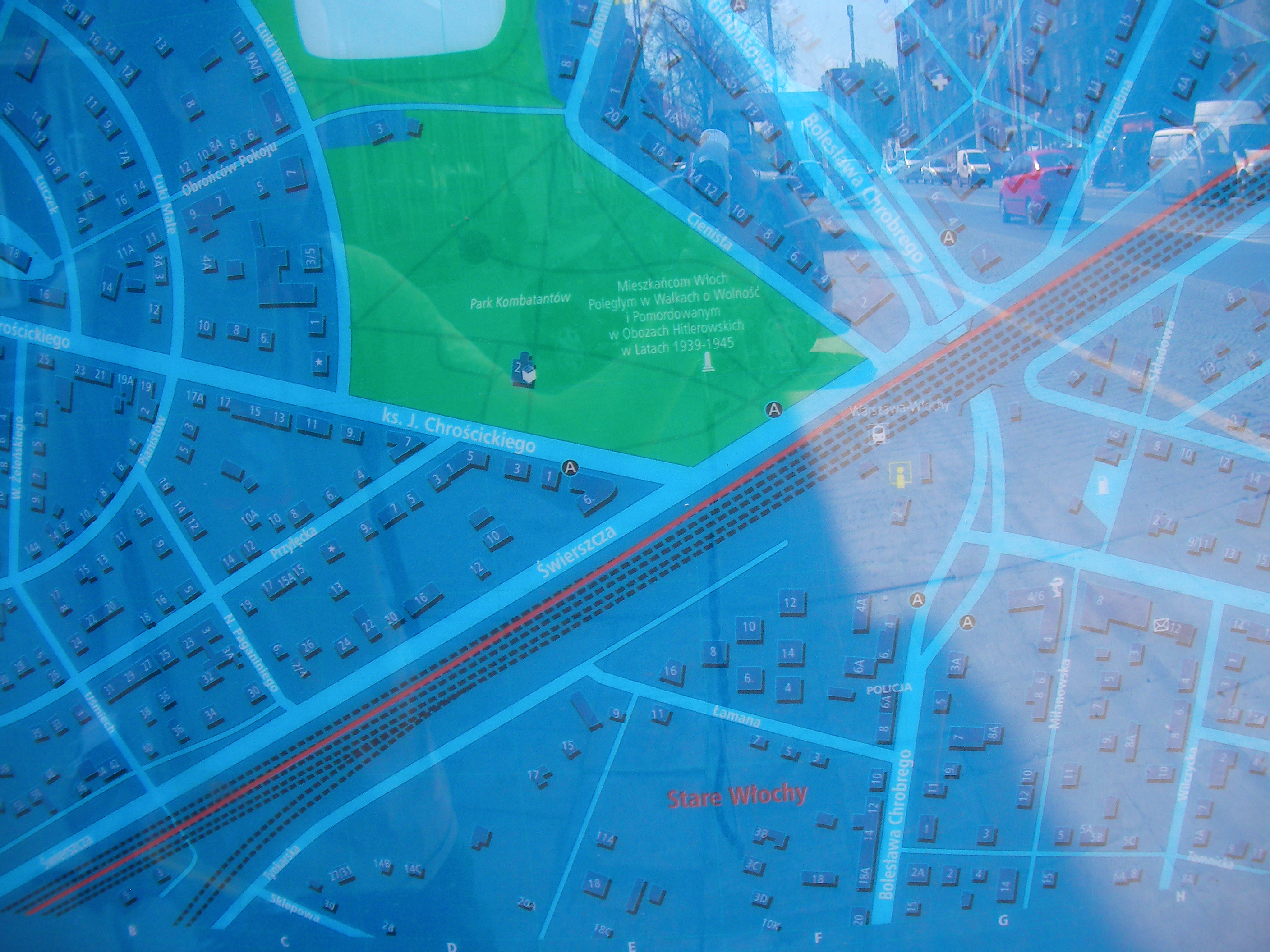
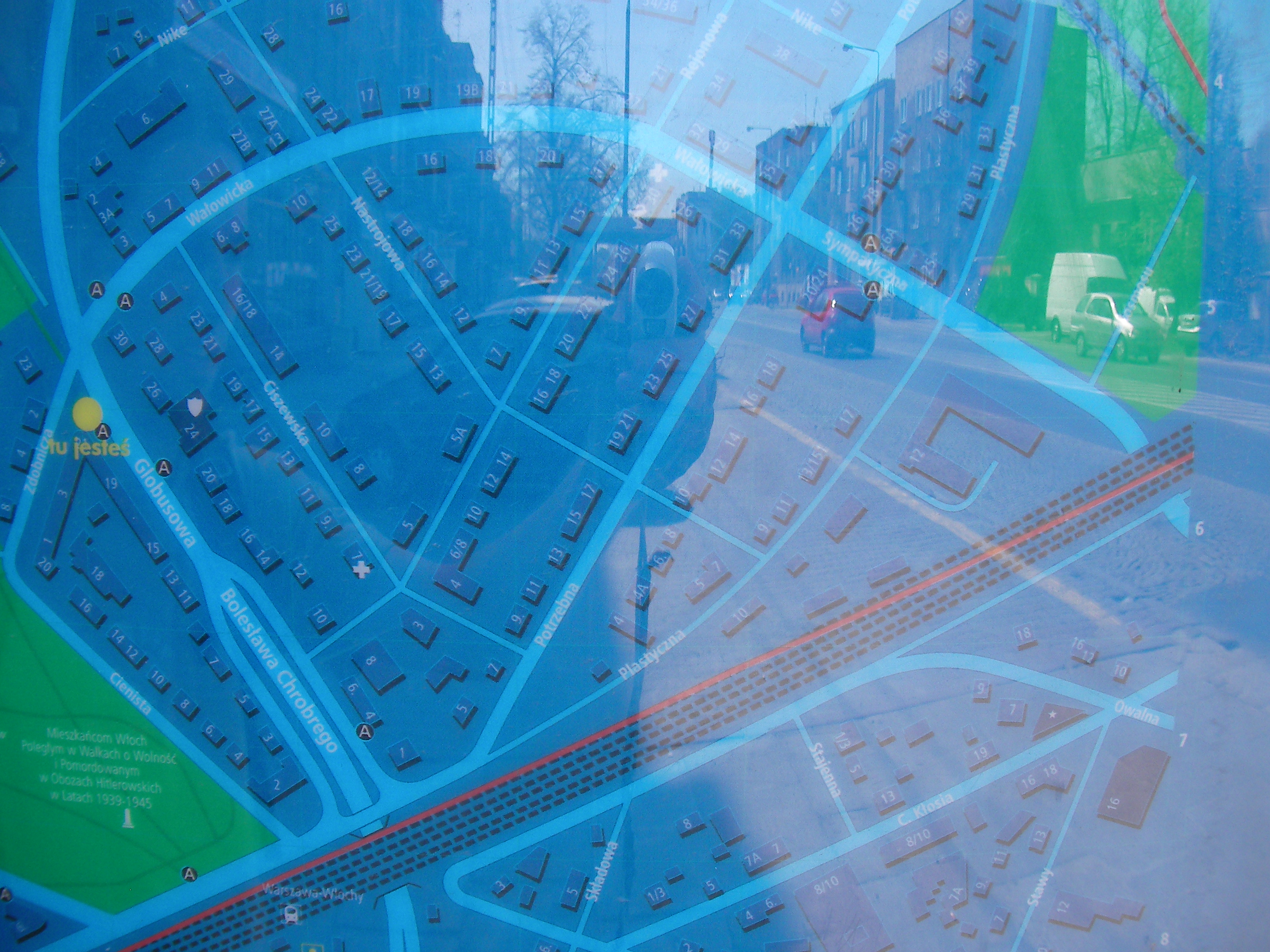
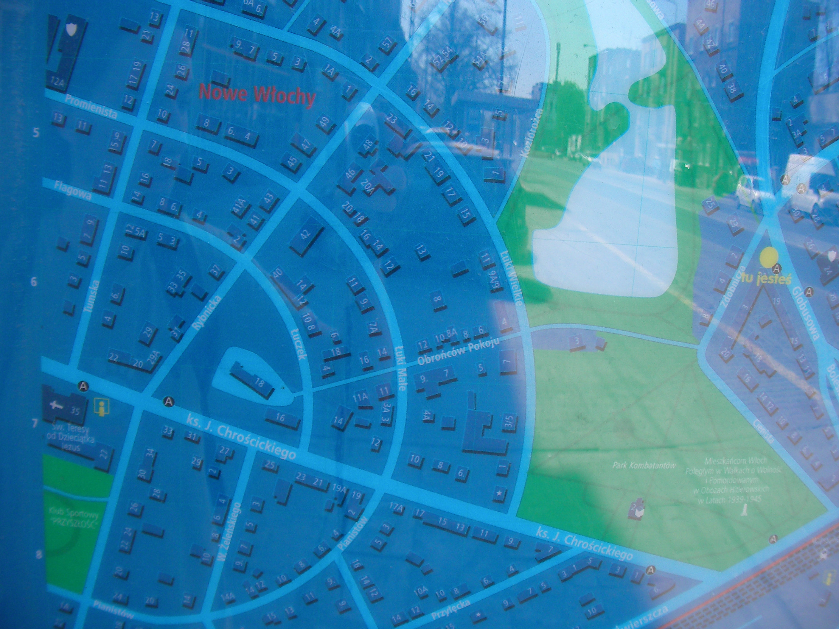
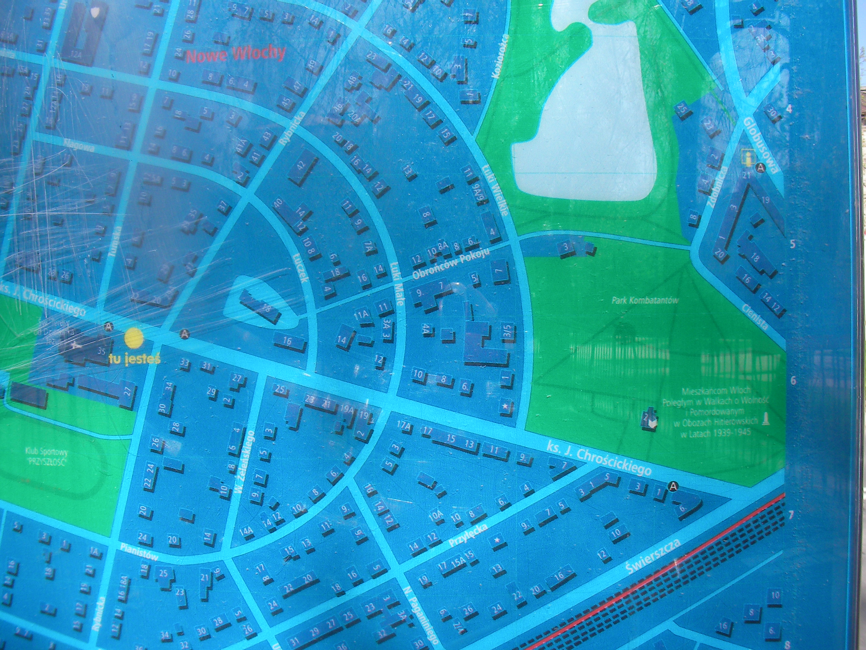
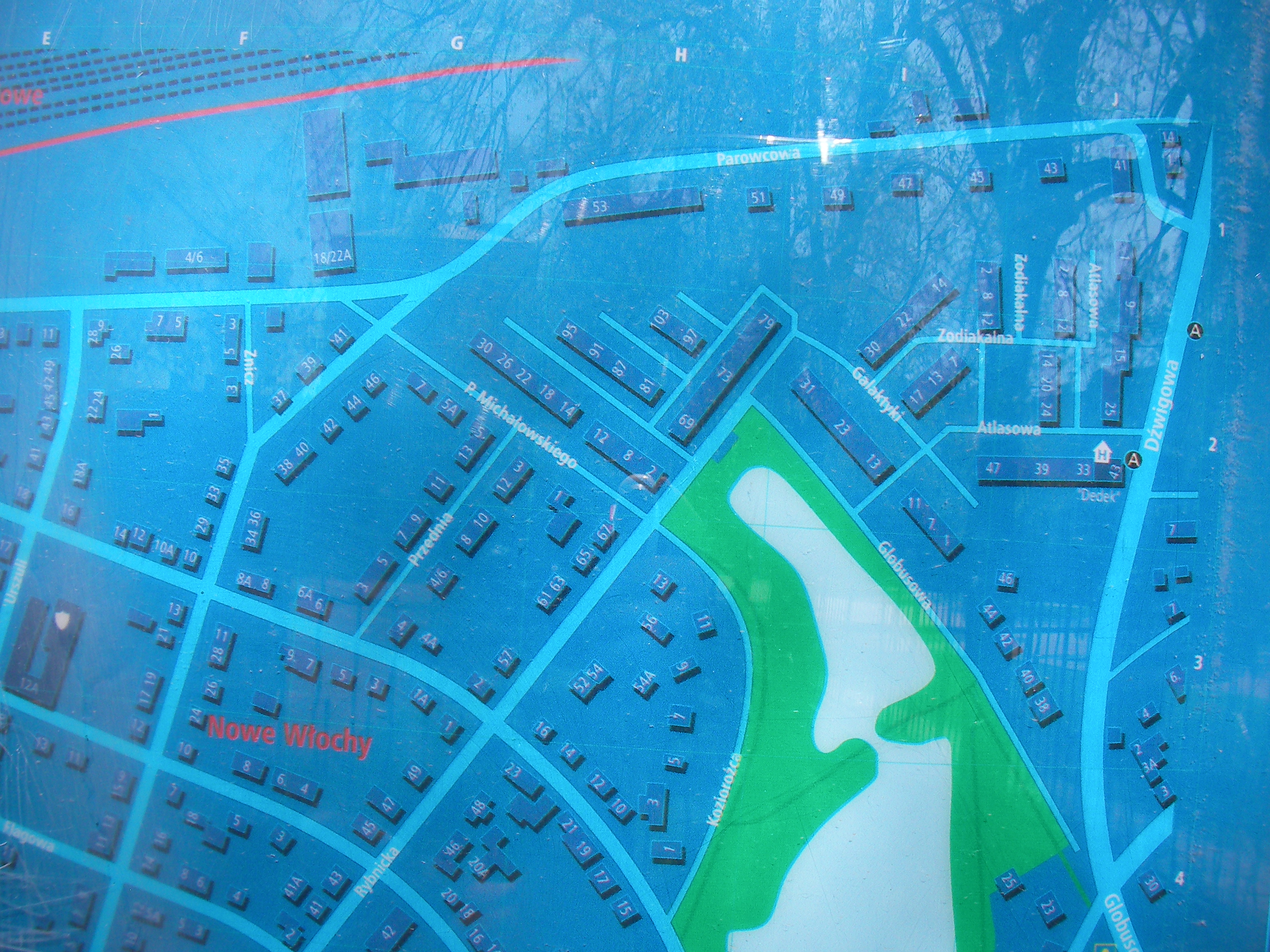
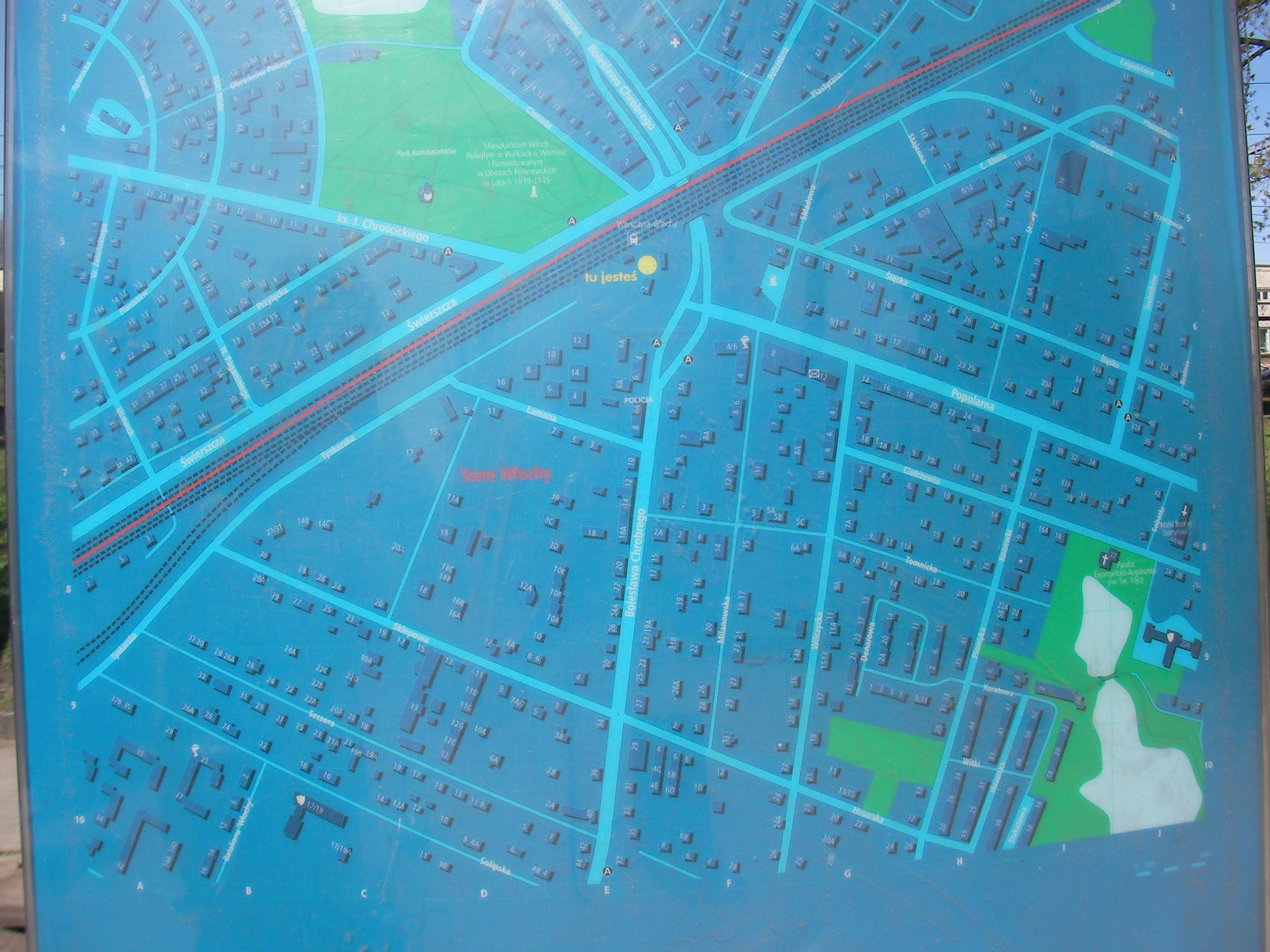
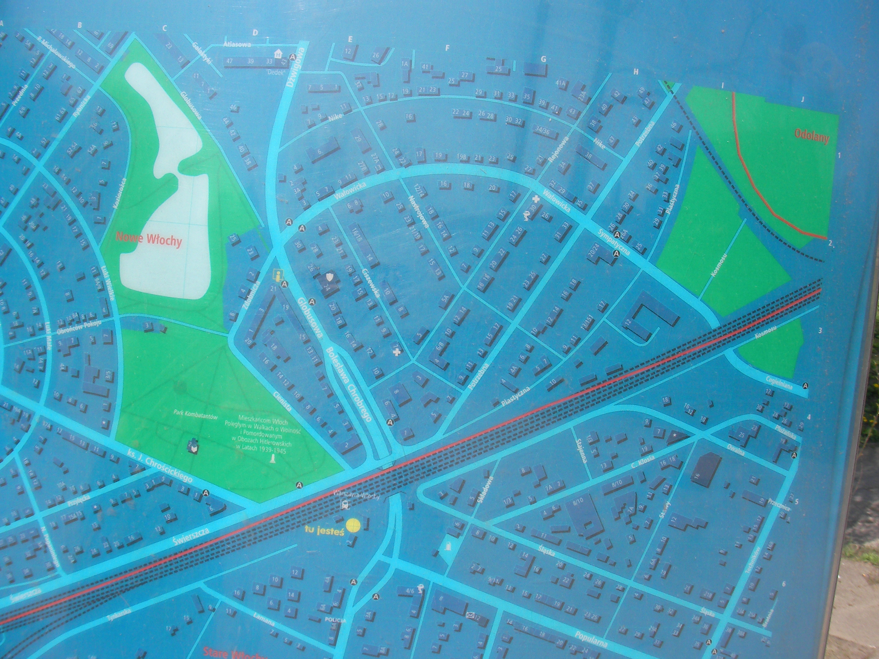
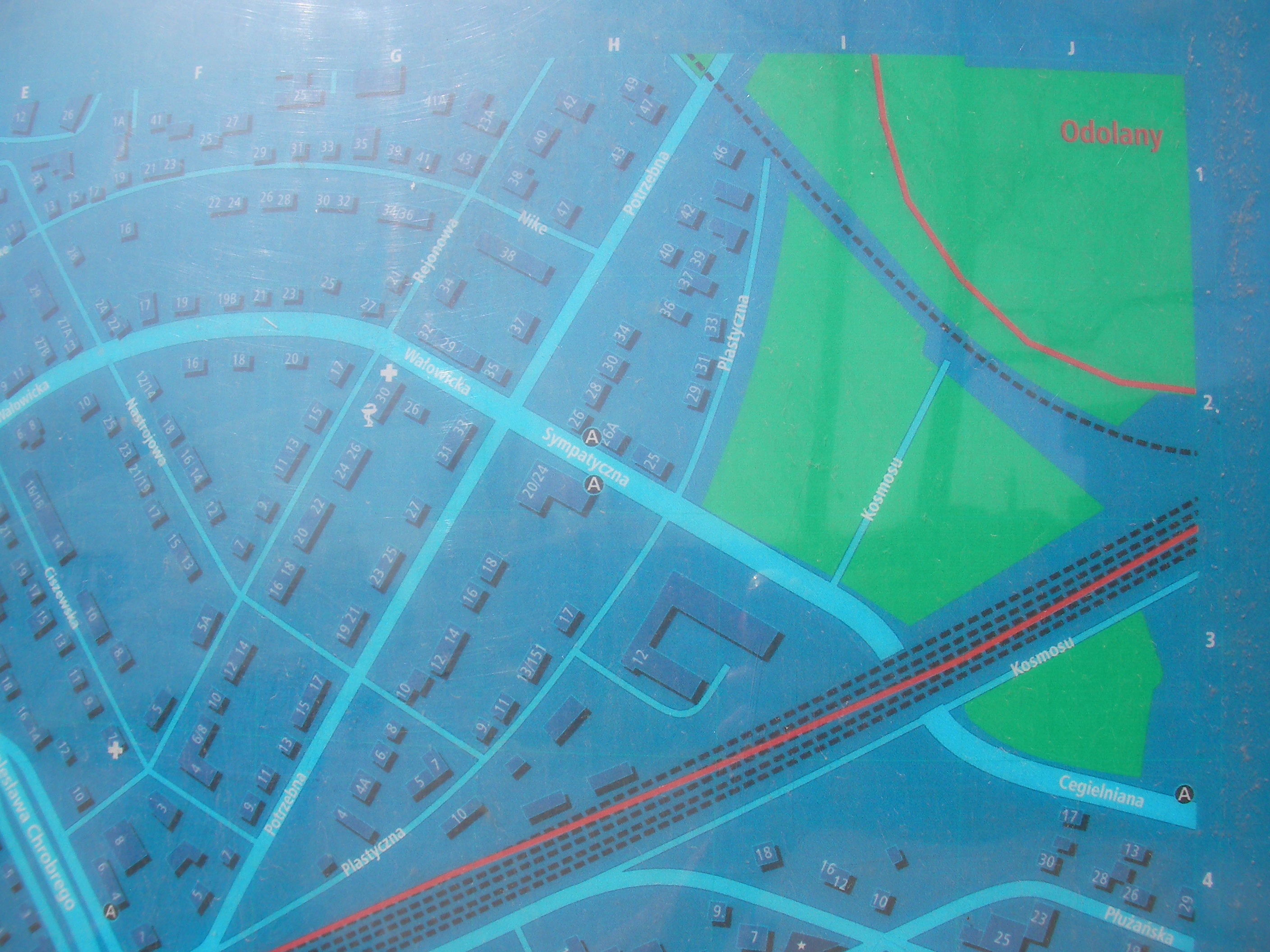
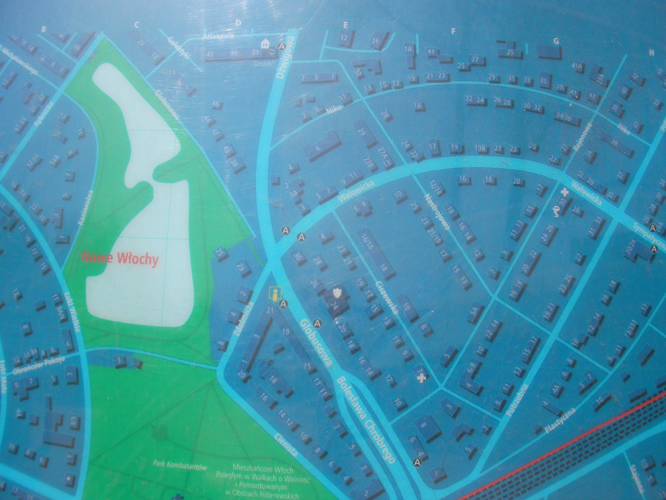
Włochy
Zdobnicza & Globusowa streets. Approximate location.
- Overview, Top, Bottom, Bottom-left, Bottom, Bottom-right, Right, Middle, Left, Top-left, Top, Top-right, Map-key right, Map-key left.
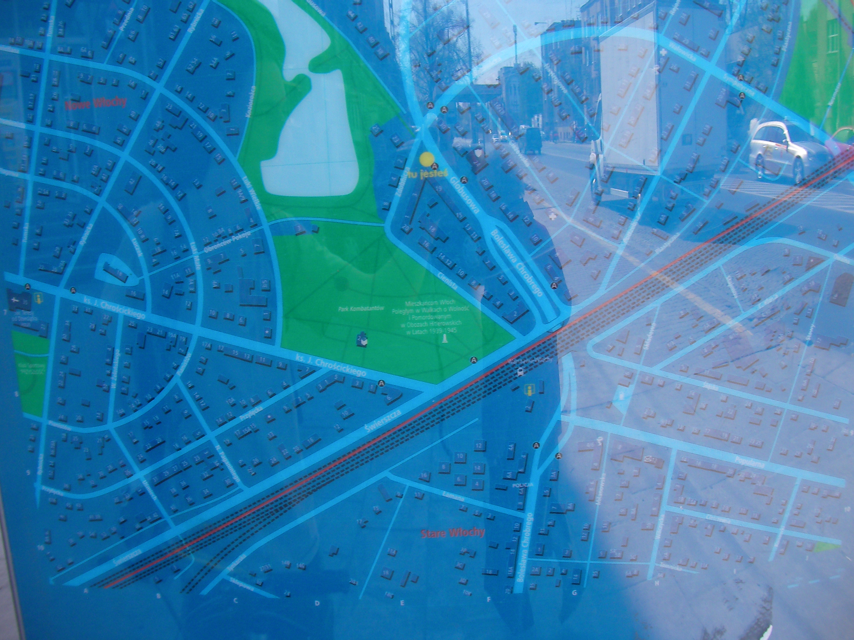
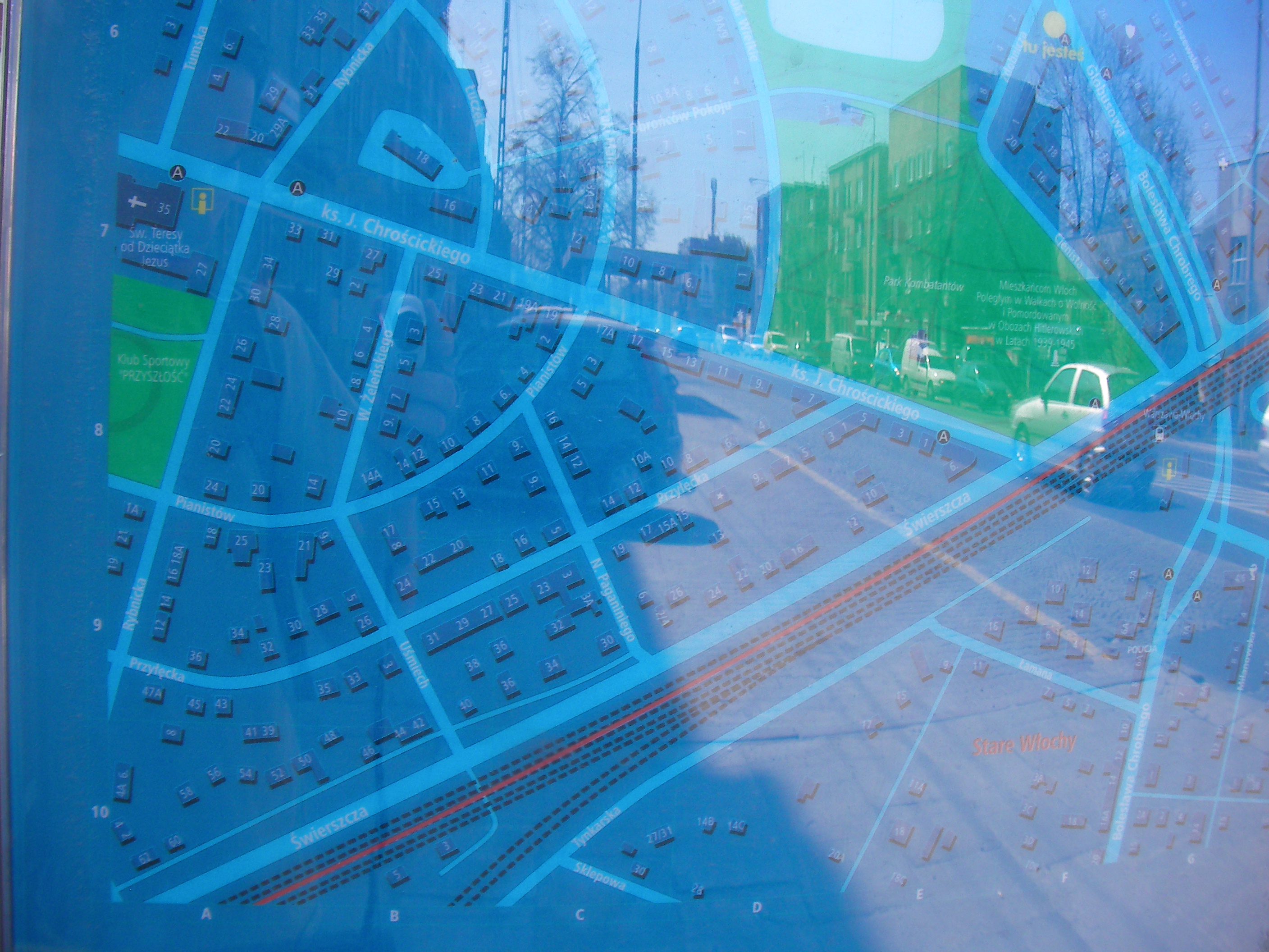
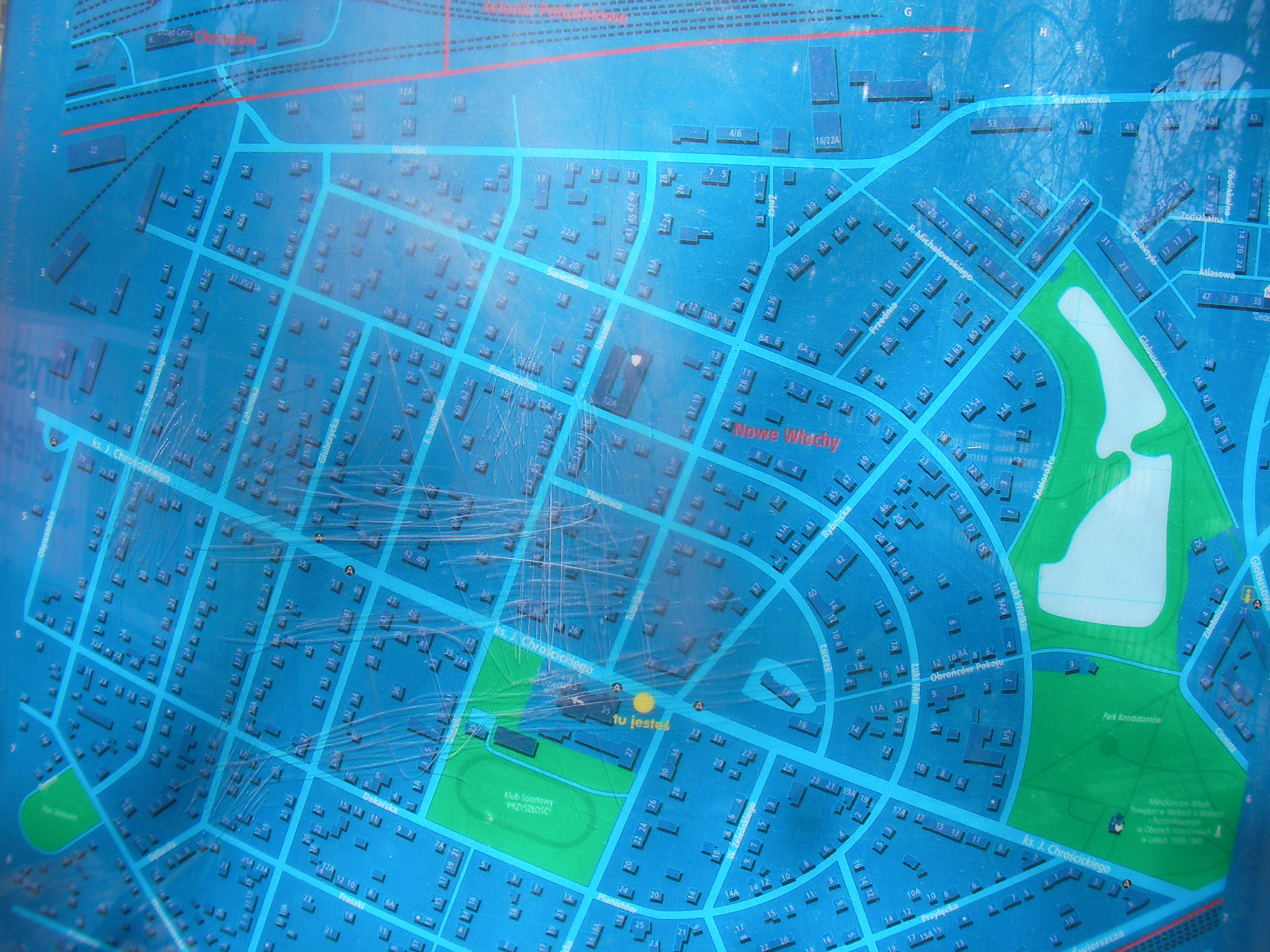
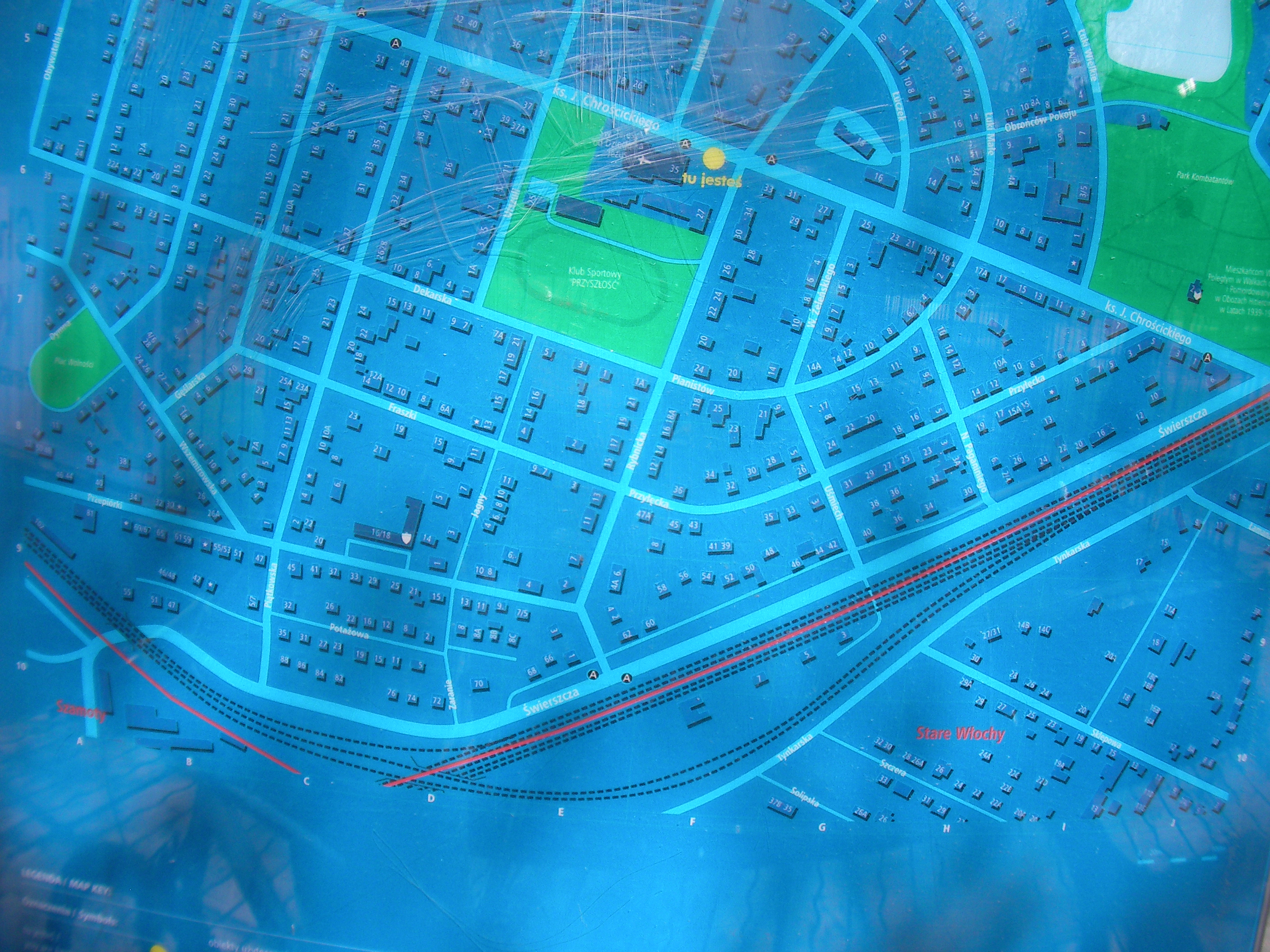
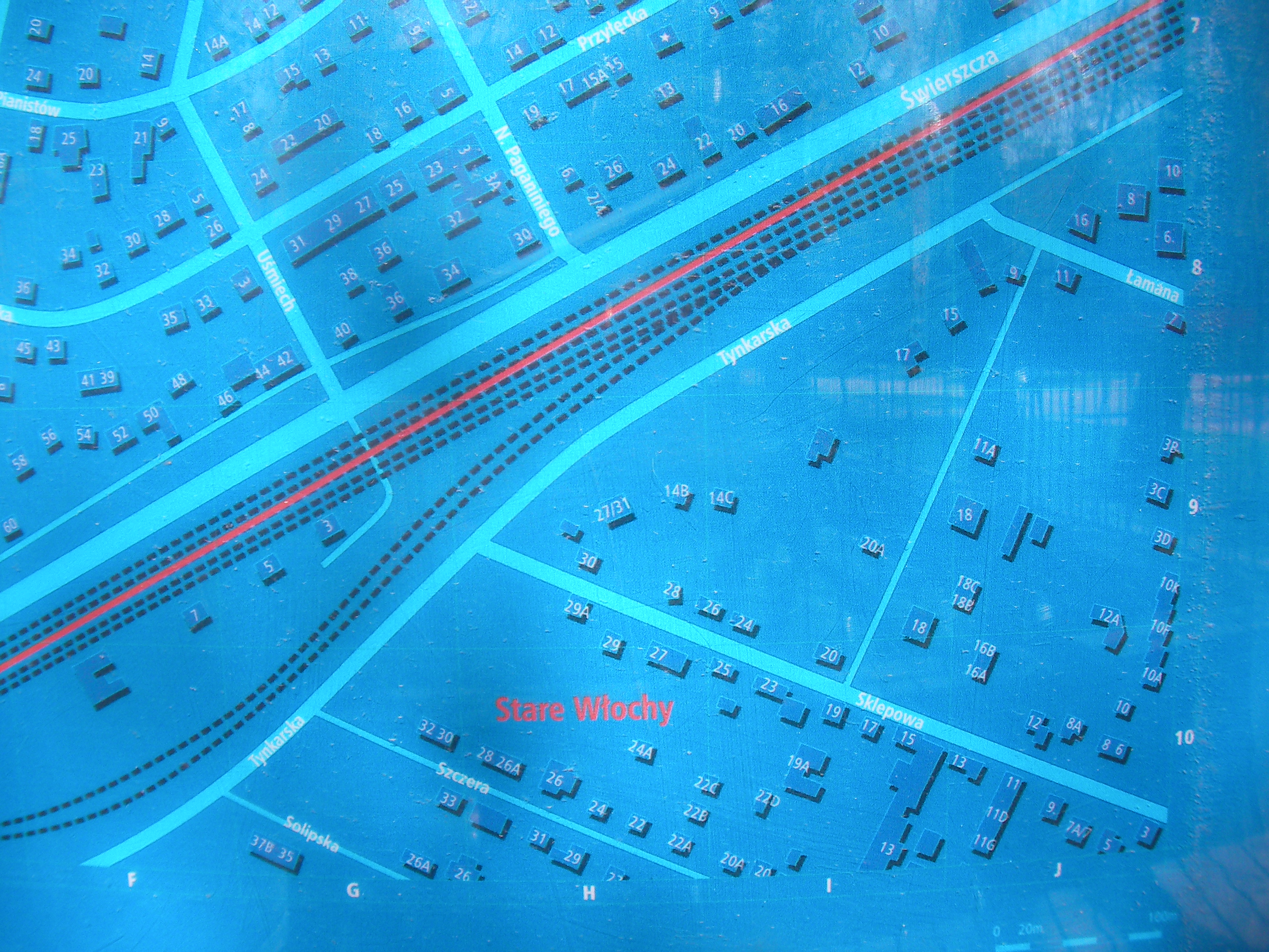
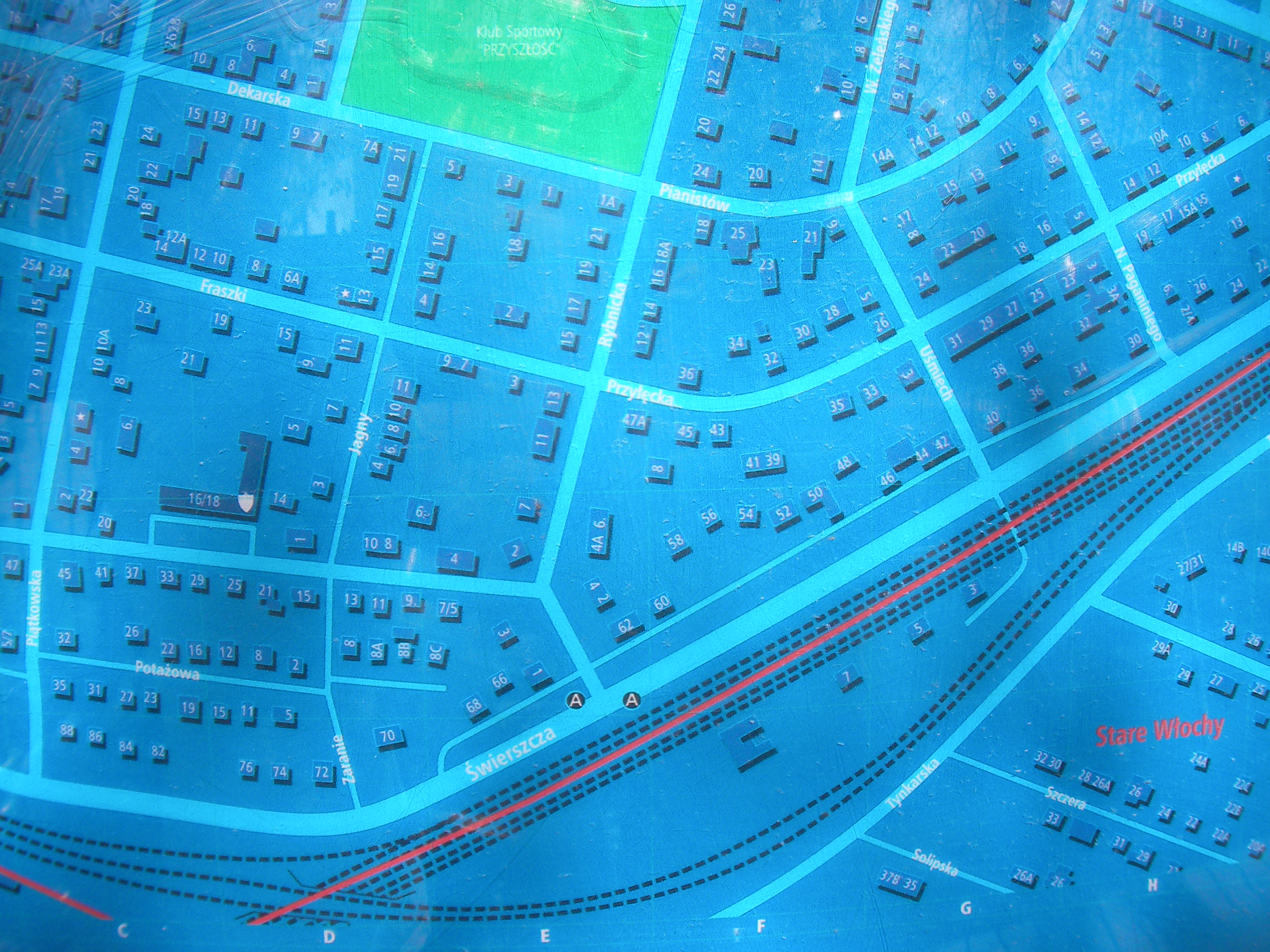
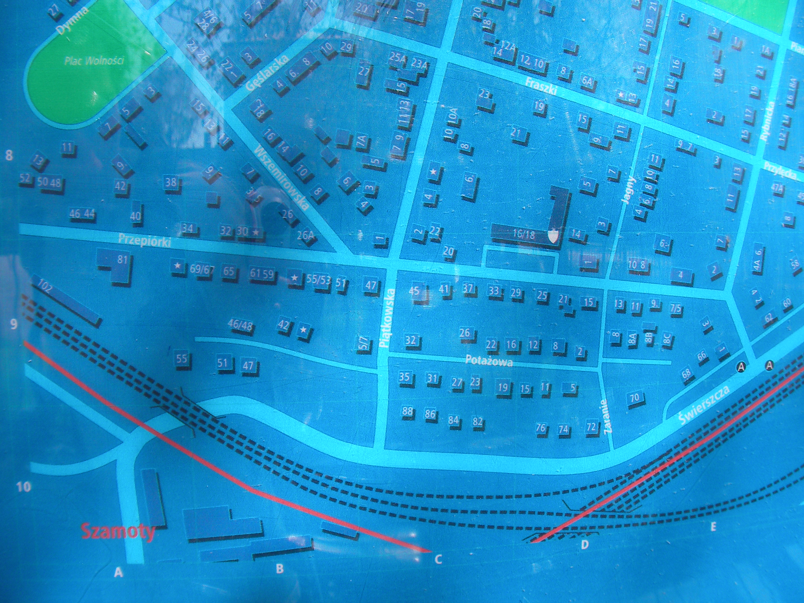
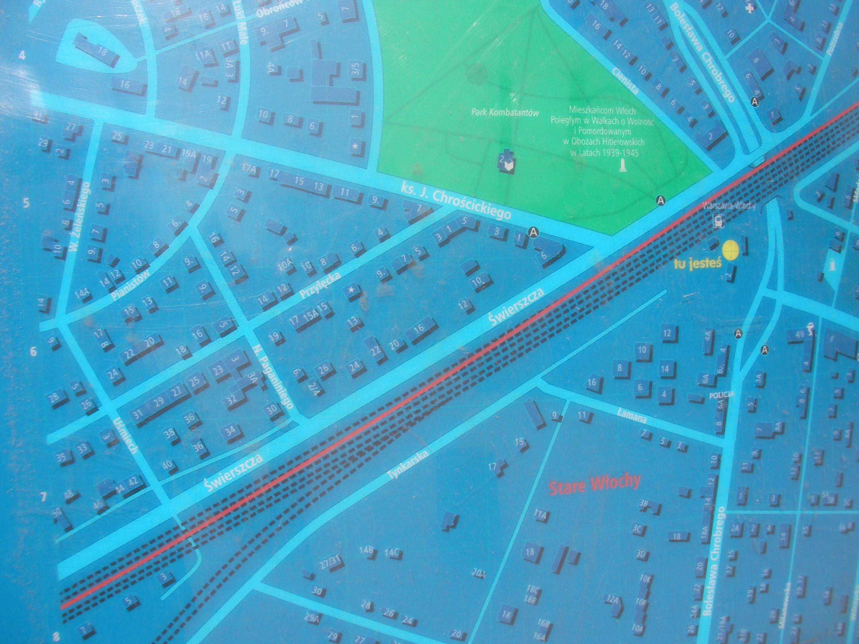
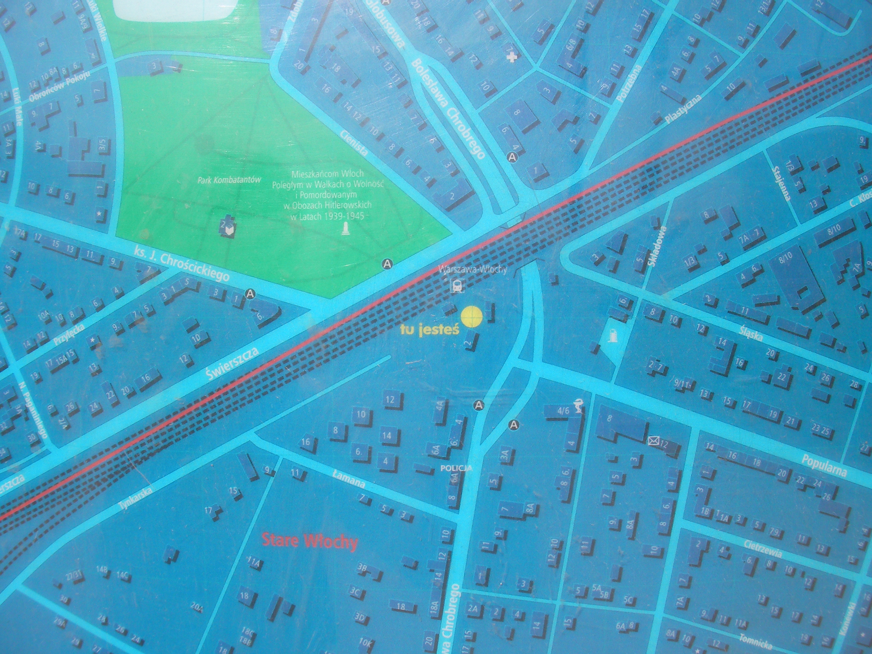
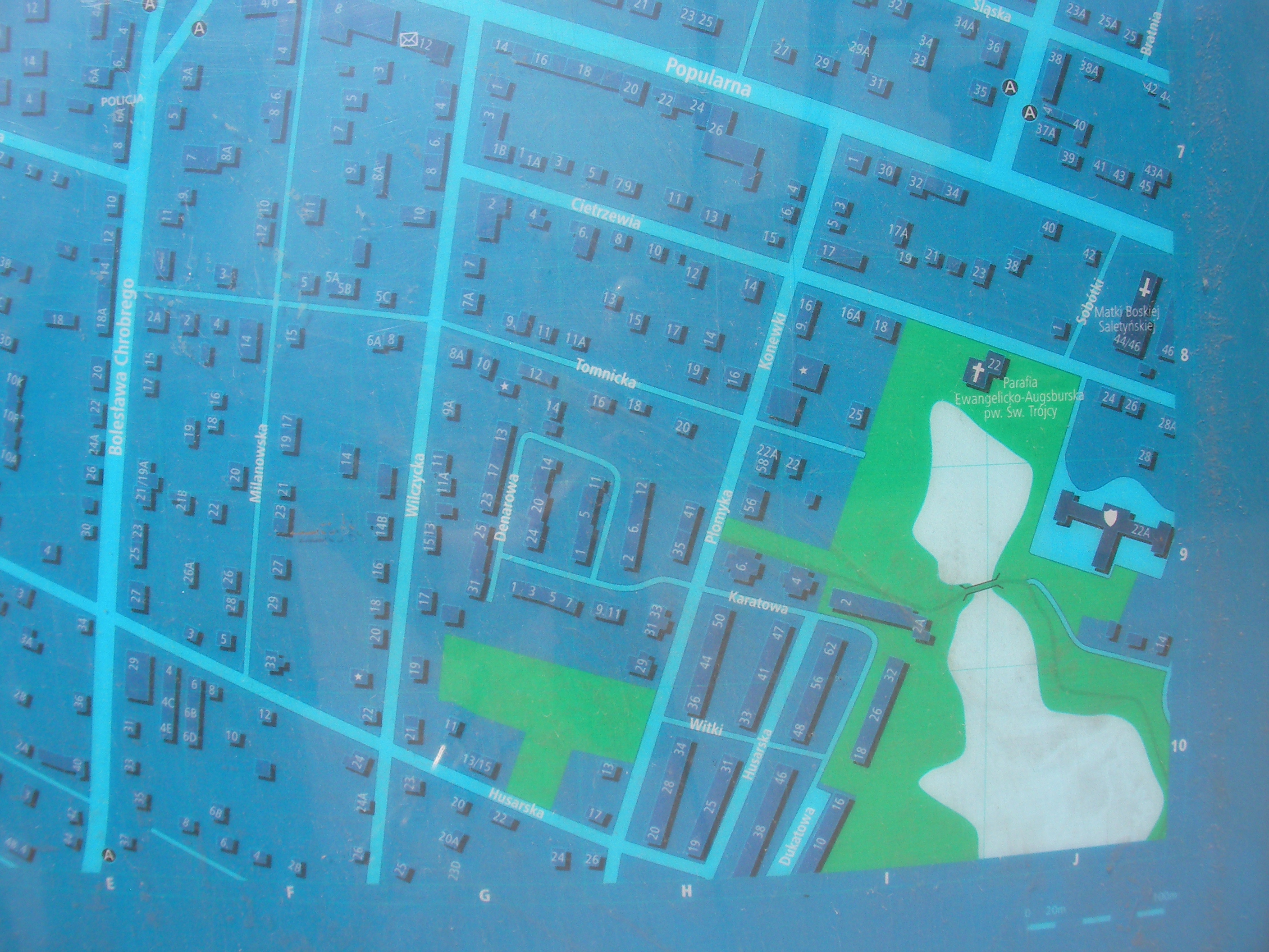
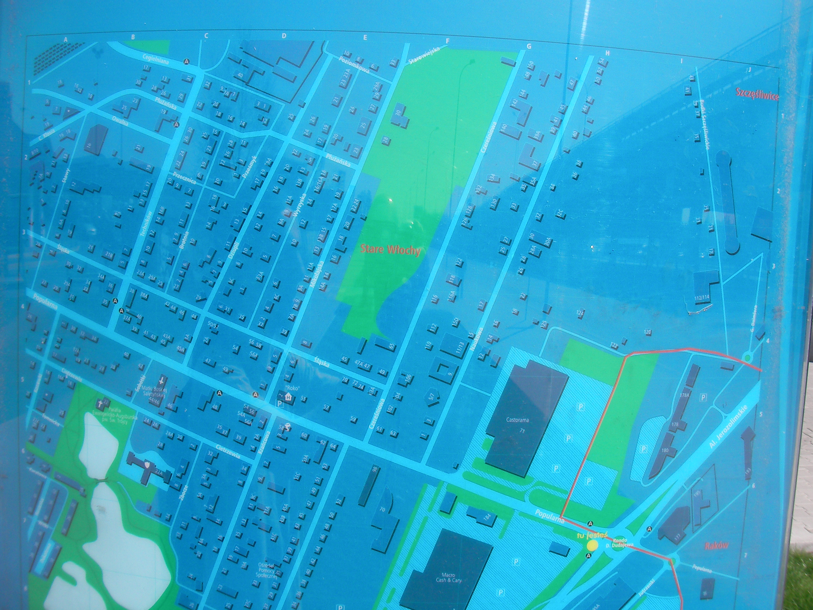
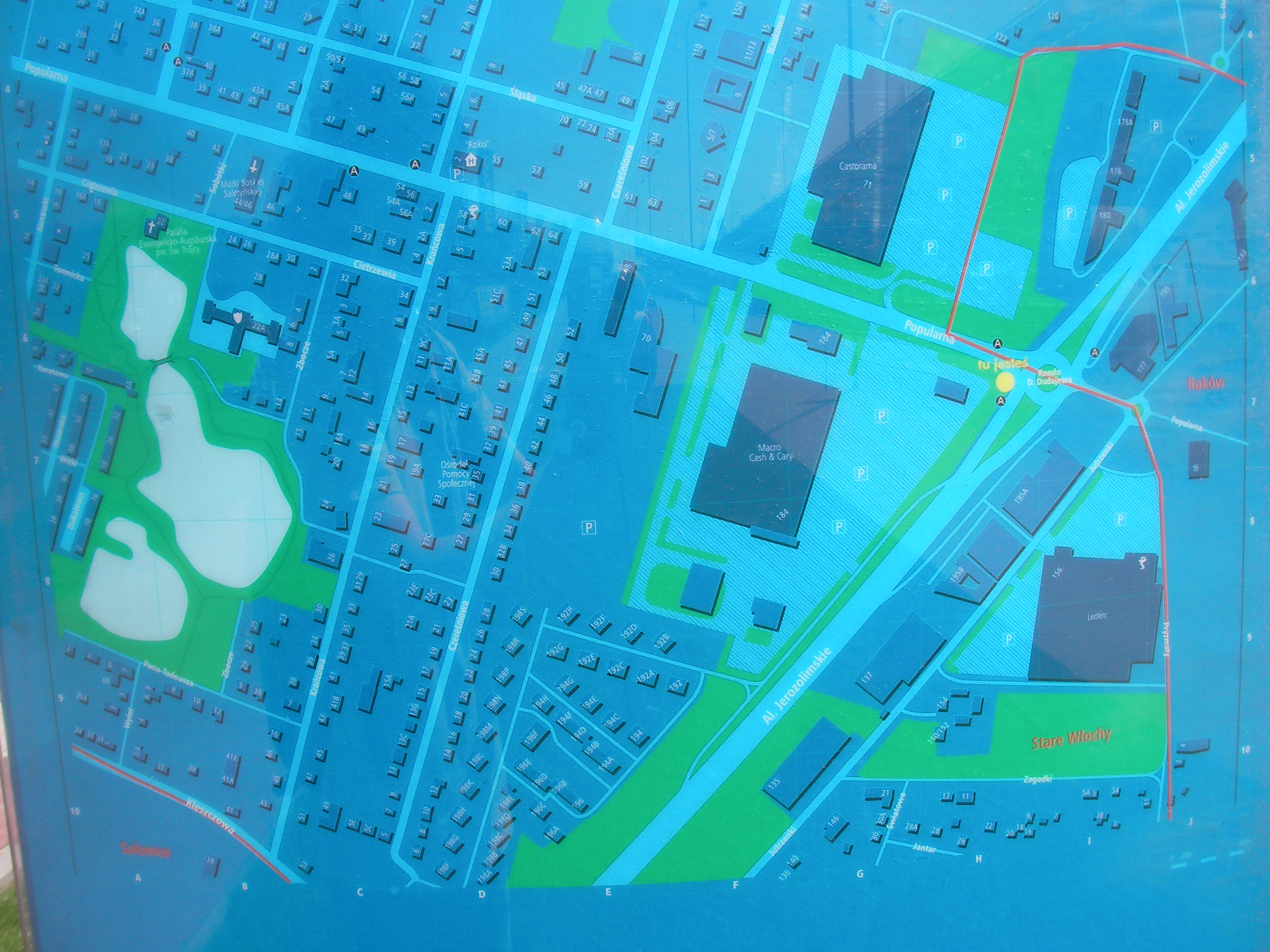
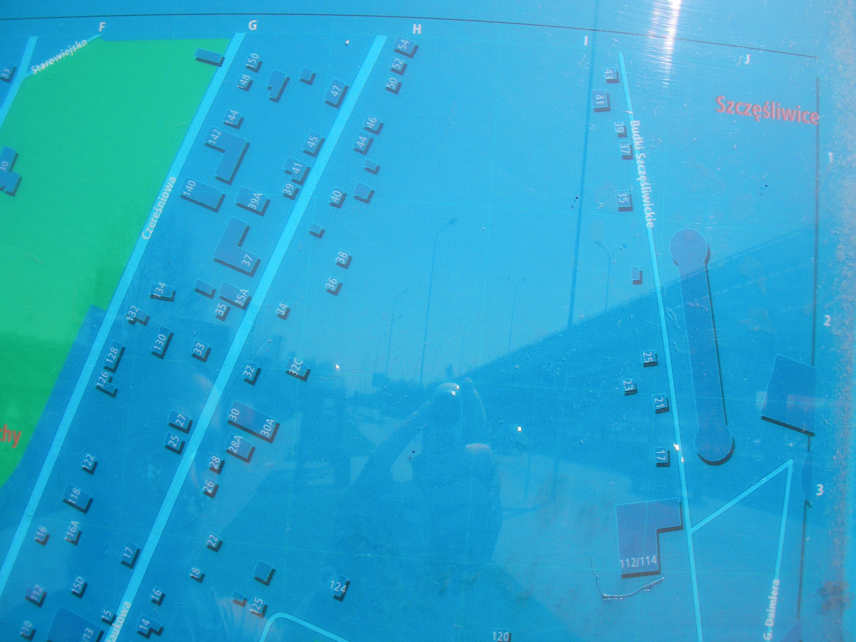
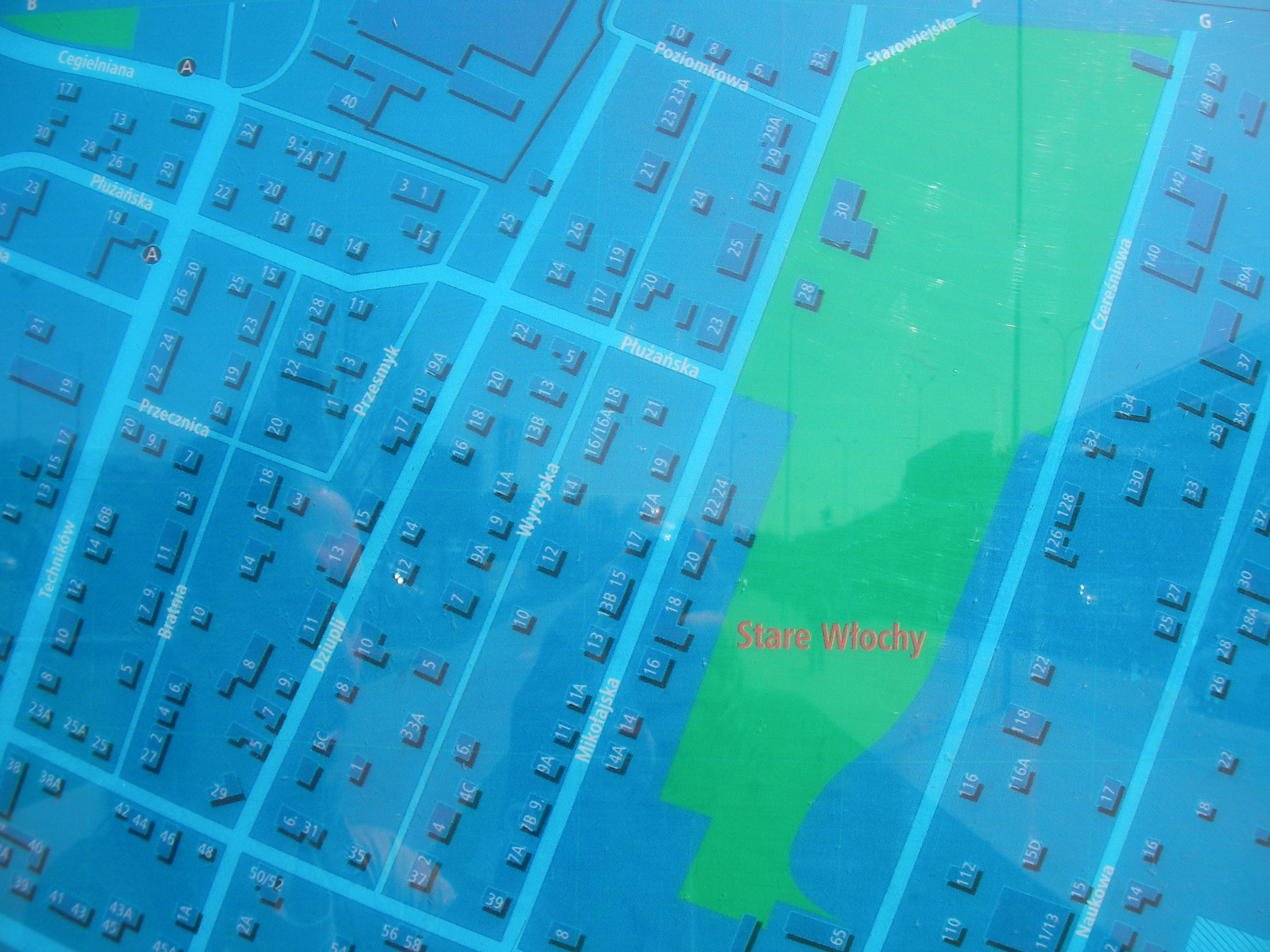
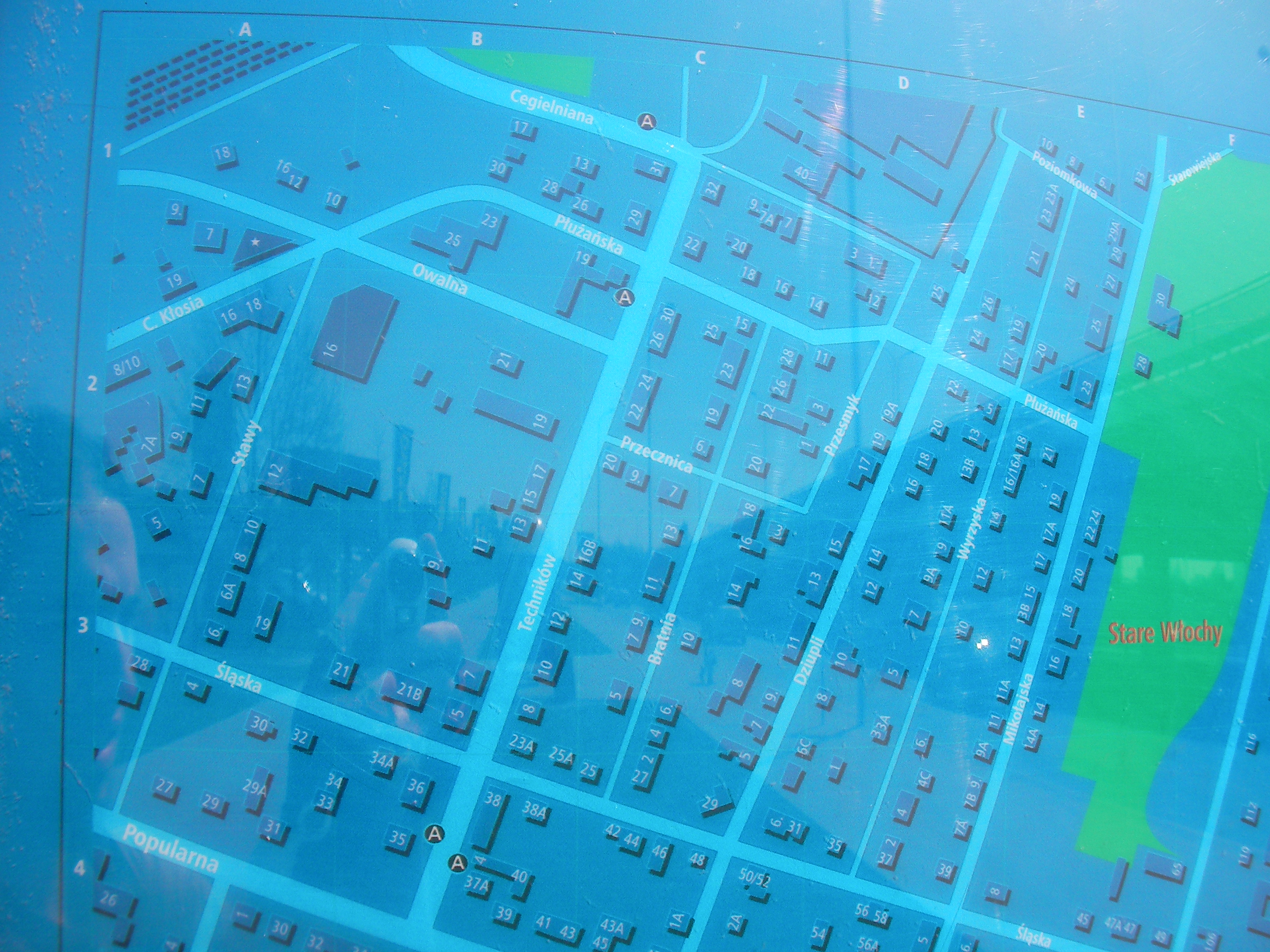
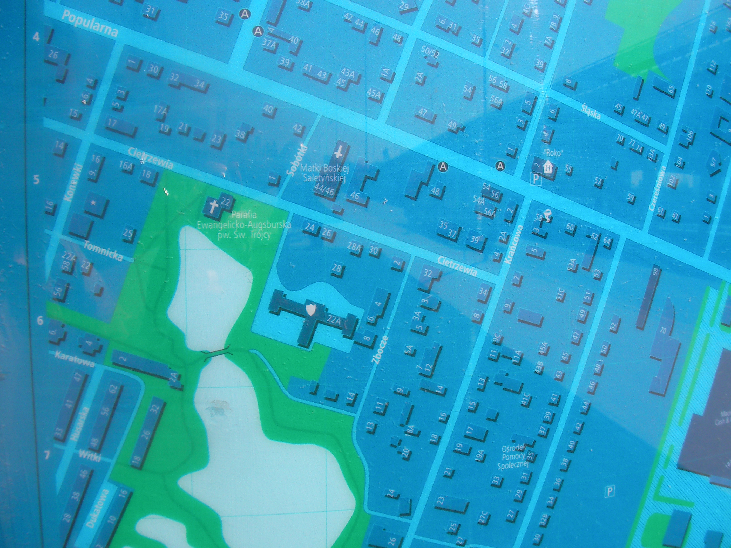
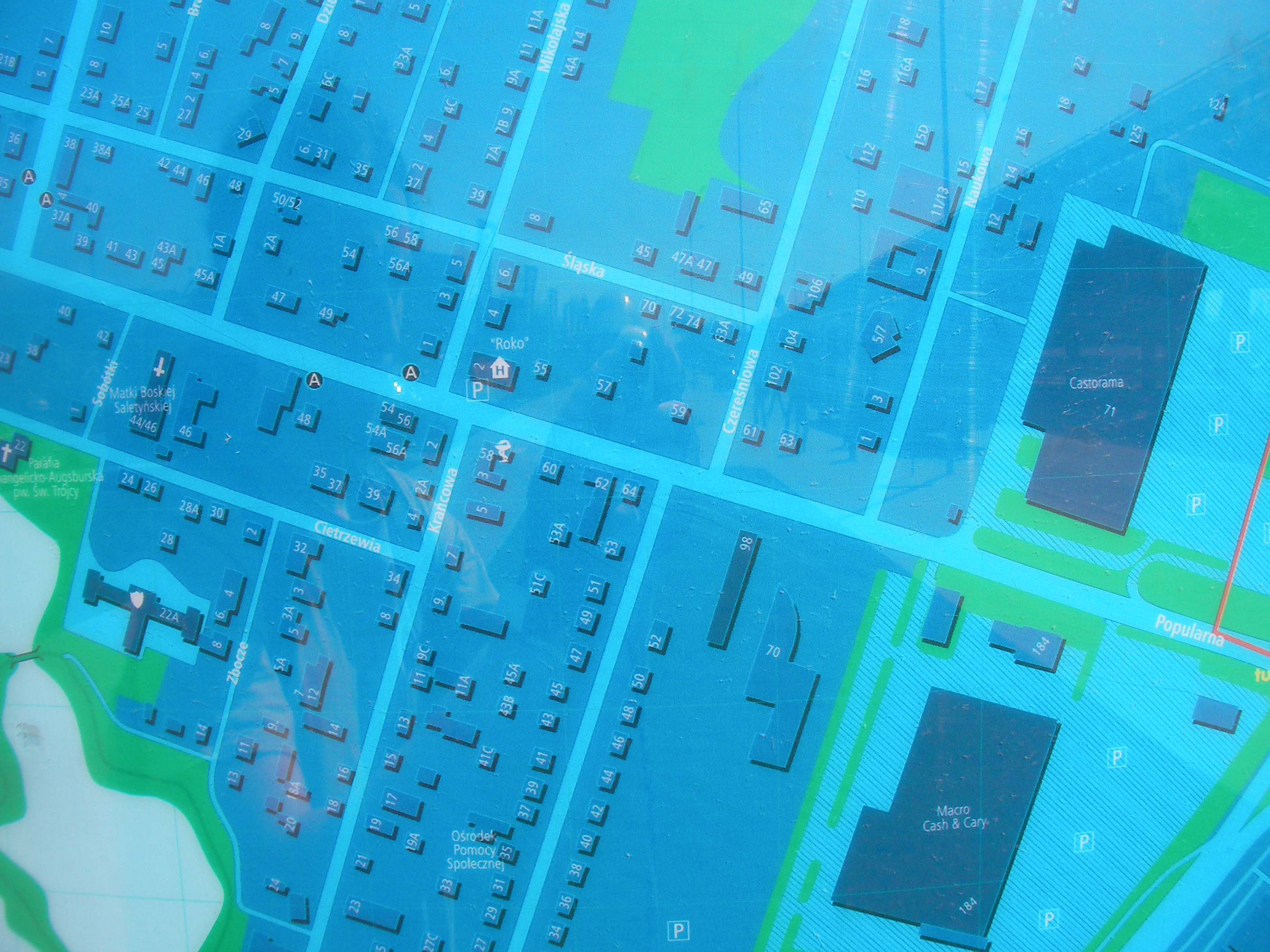
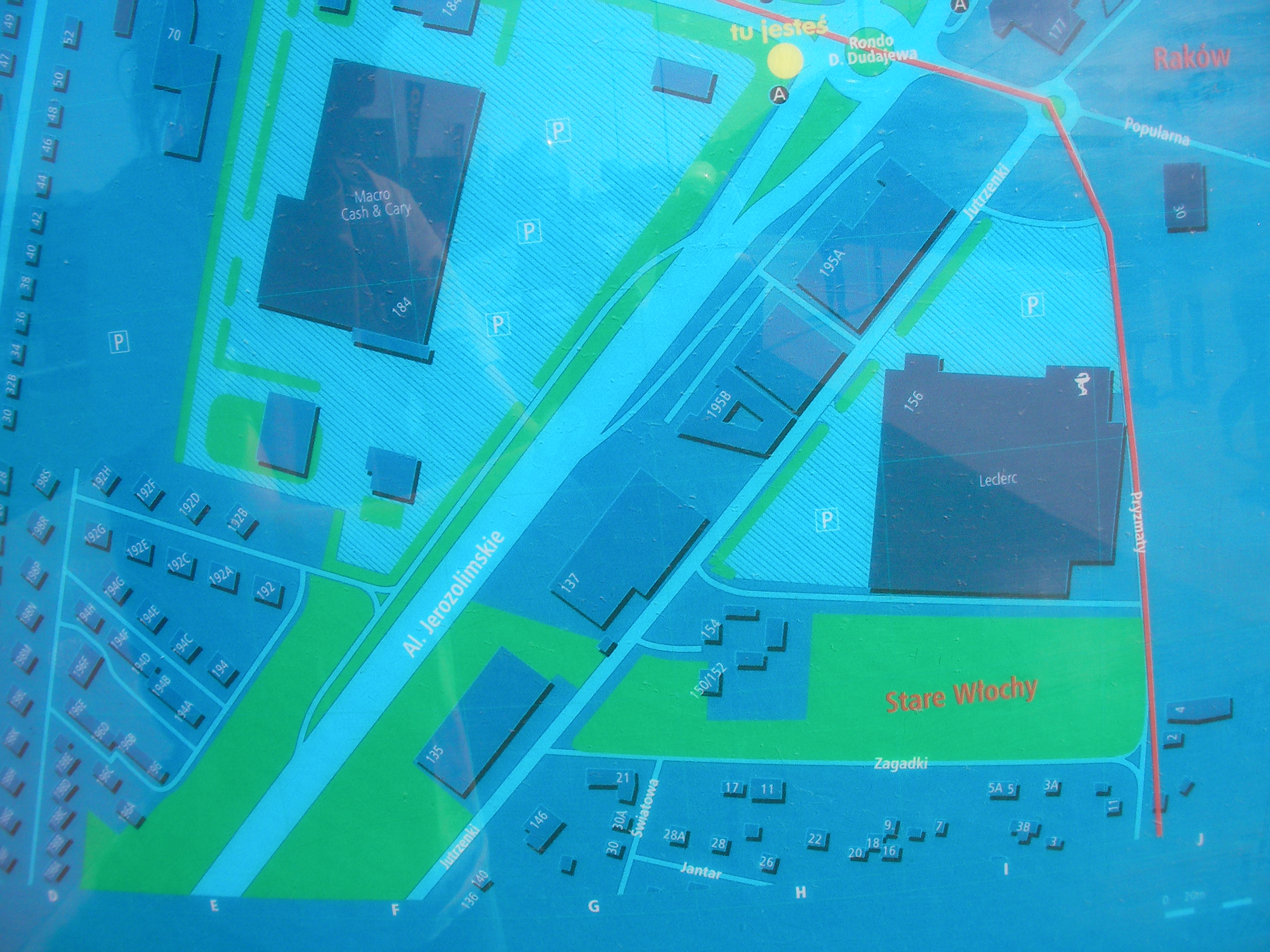
Stare Włochy
Town centre, by the entrance to the church, Rybnicka & Księdza Chrościckiego streets. Approximate location.
- Top, Bottom, Bottom-right, Bottom, Bottom-left, Left, Middle, Right, Top-right, Top, Top-left, Top-left, Top-left, Map-key.
Włochy station
South exit from the Włochy train station between some bars. Approximate location.
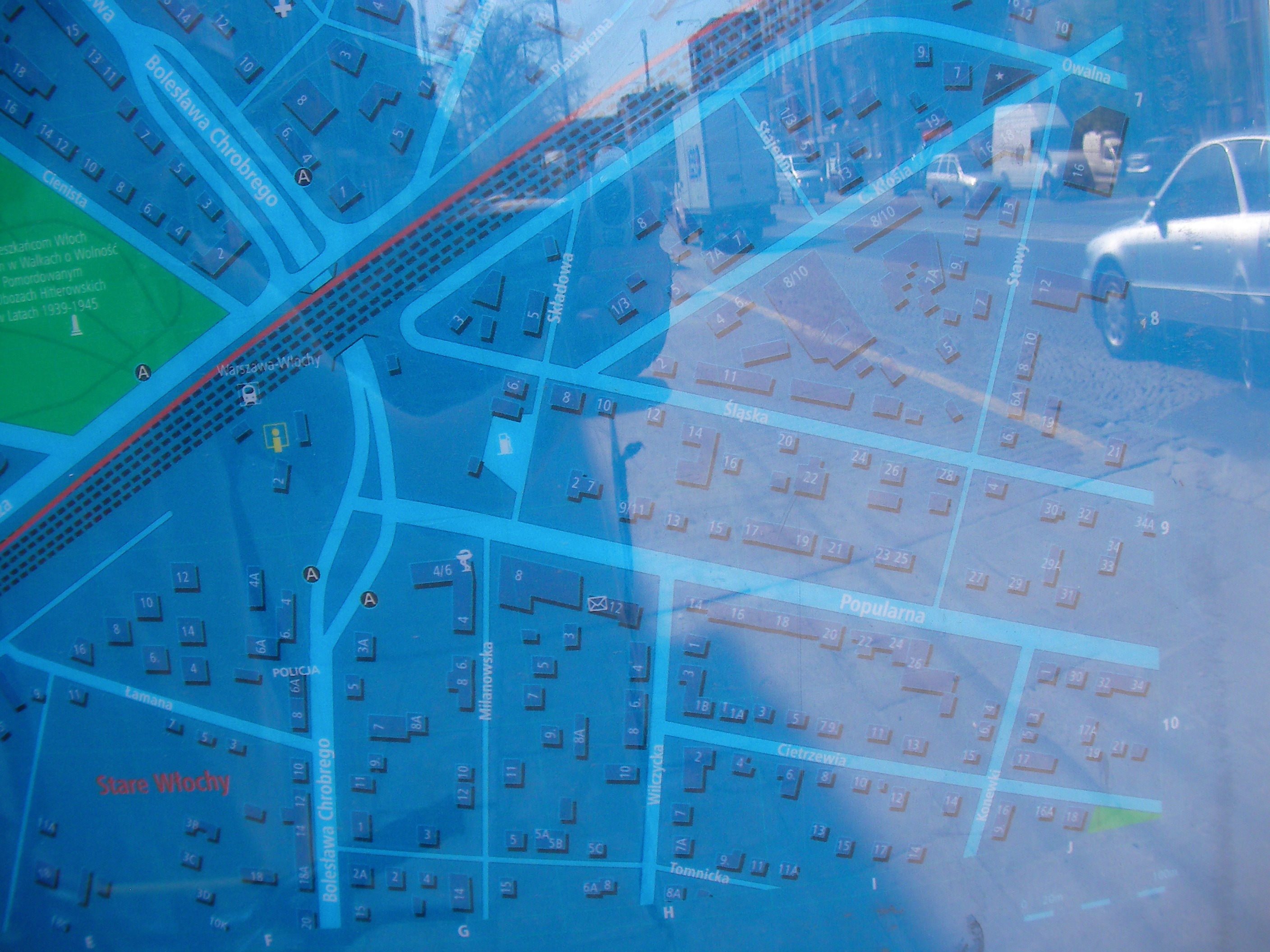
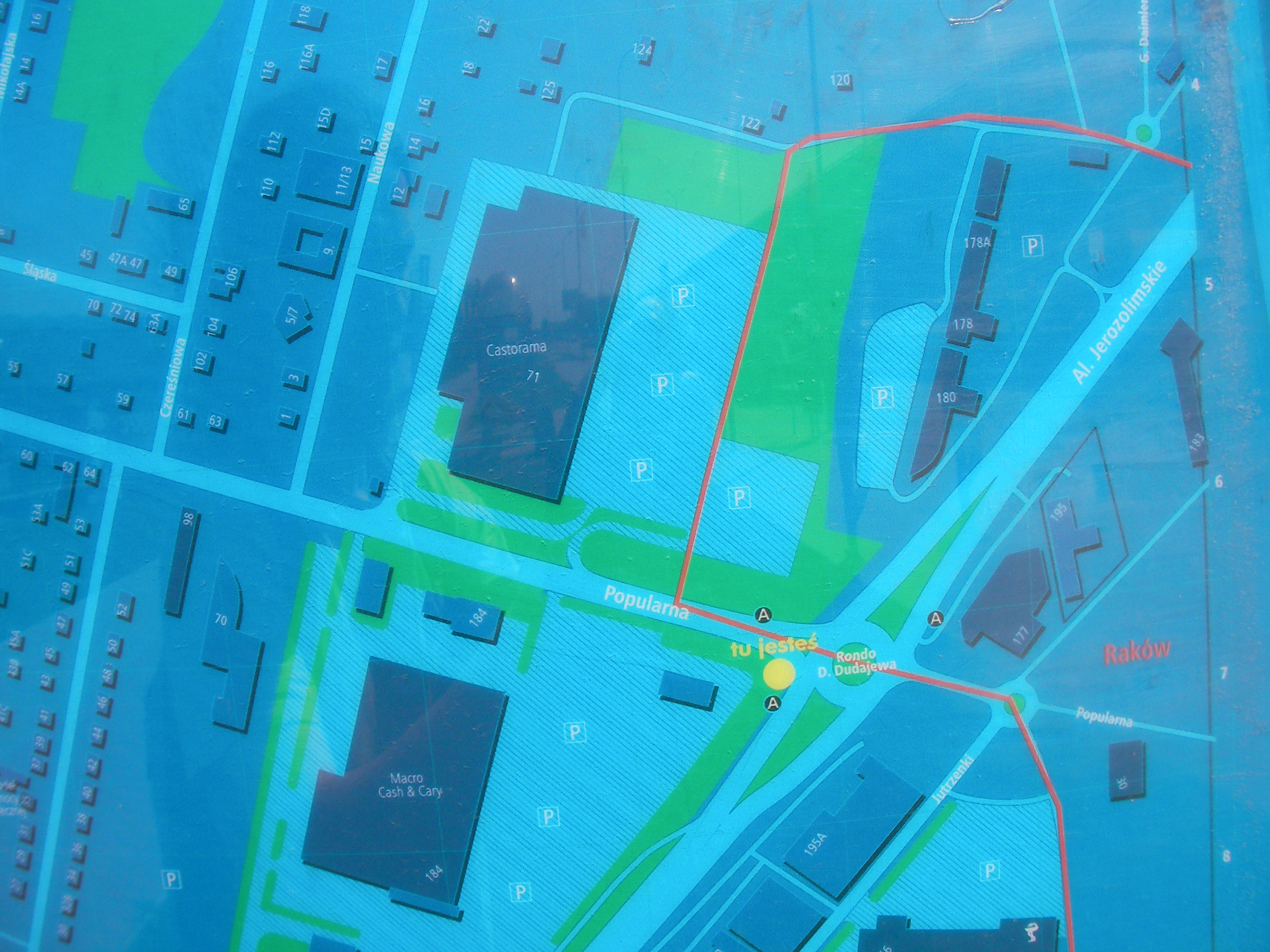
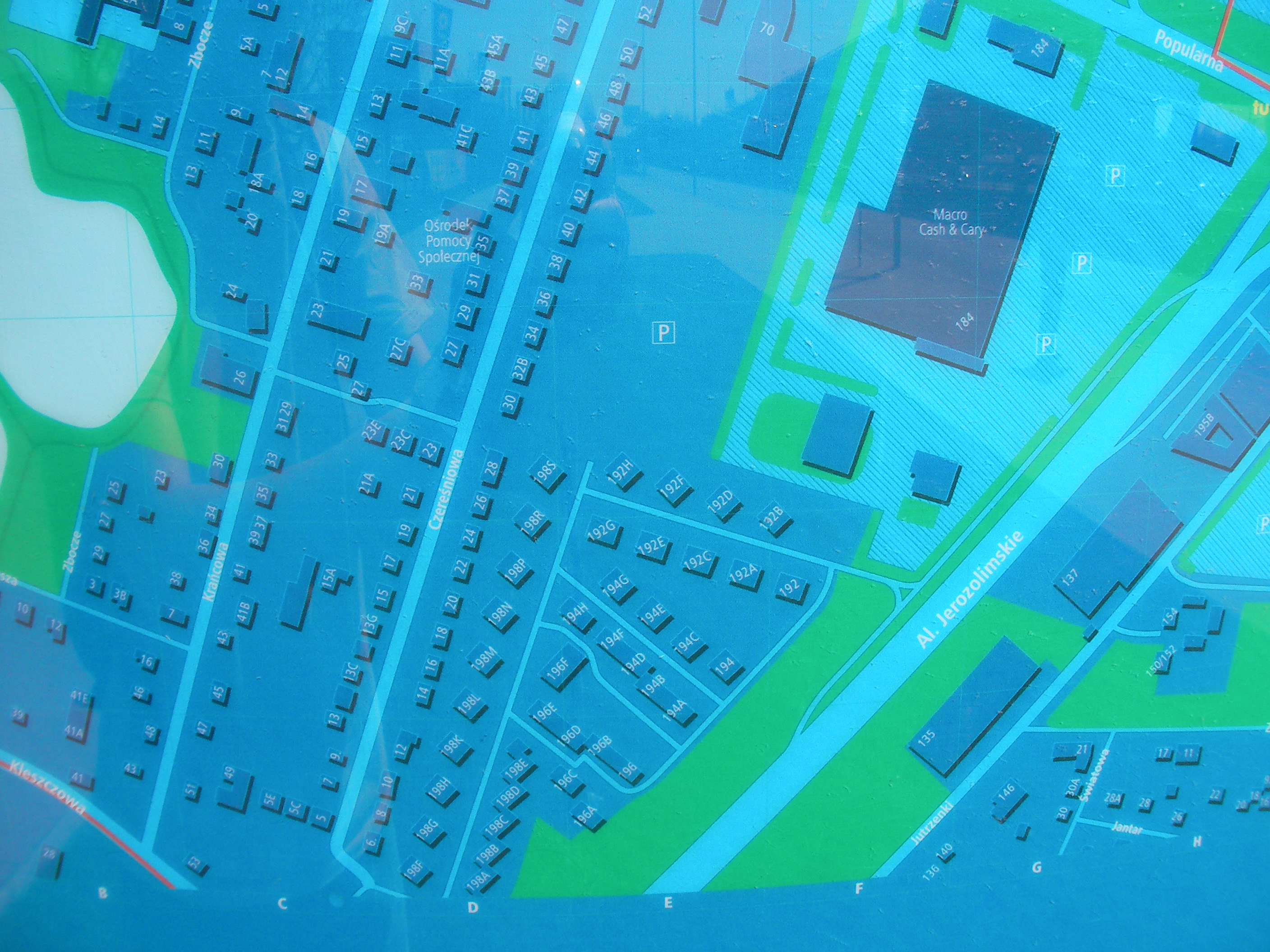
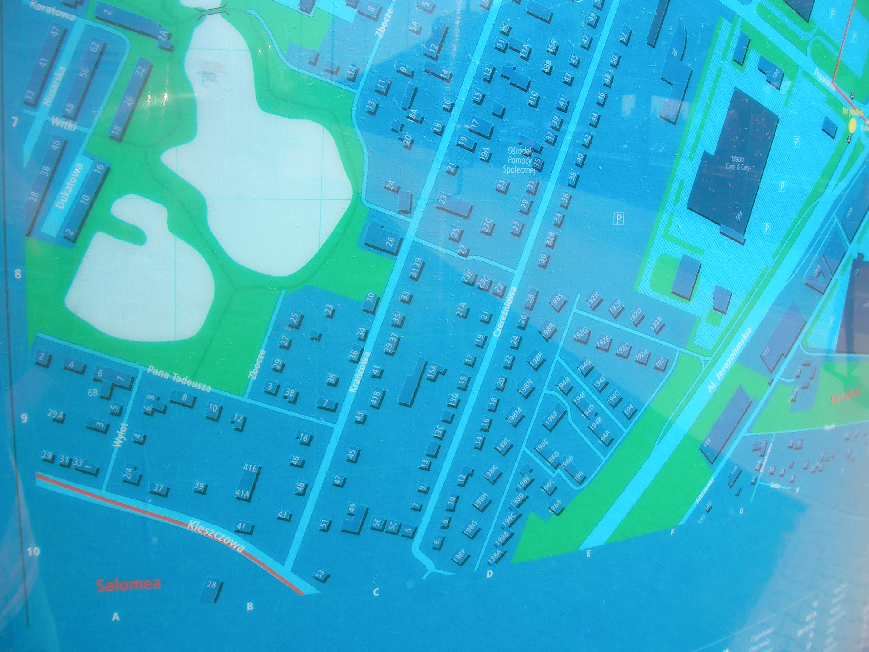
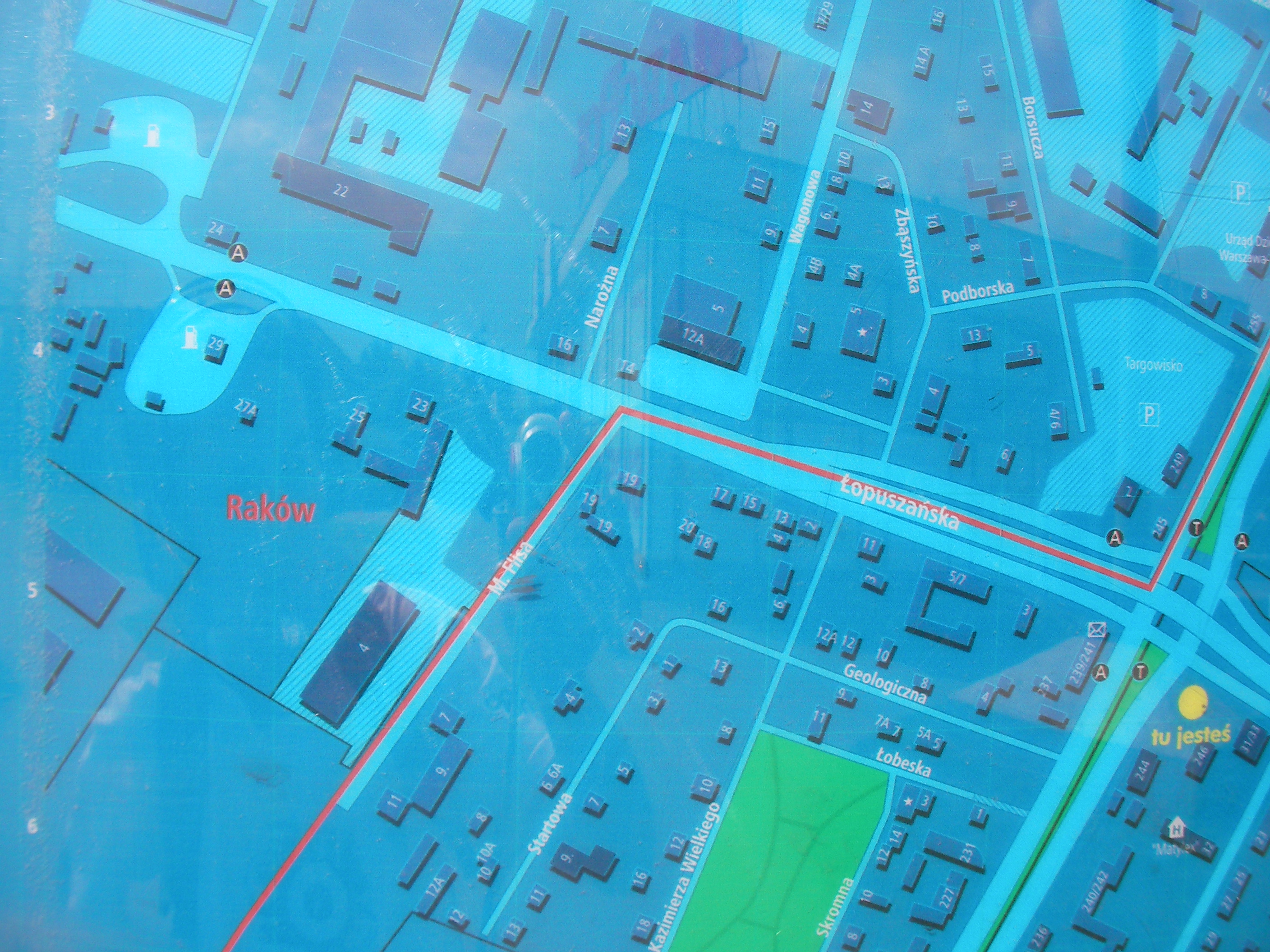
Popularna, Raków
Close to the bus stop, Popularna & Aleje Jerozolimskie streets. Opposite side of the road from the Microsoft's office building. Approximate location.
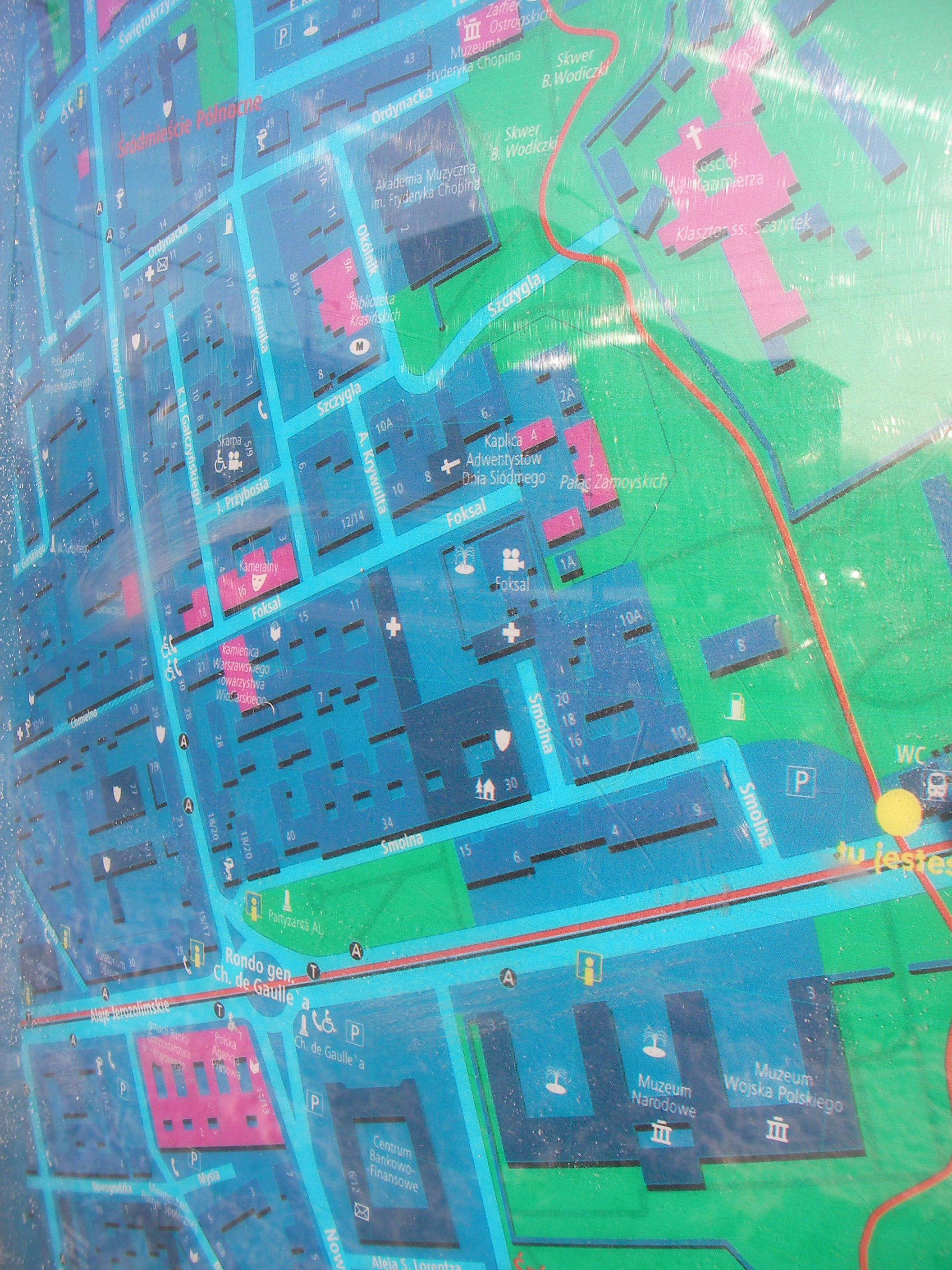
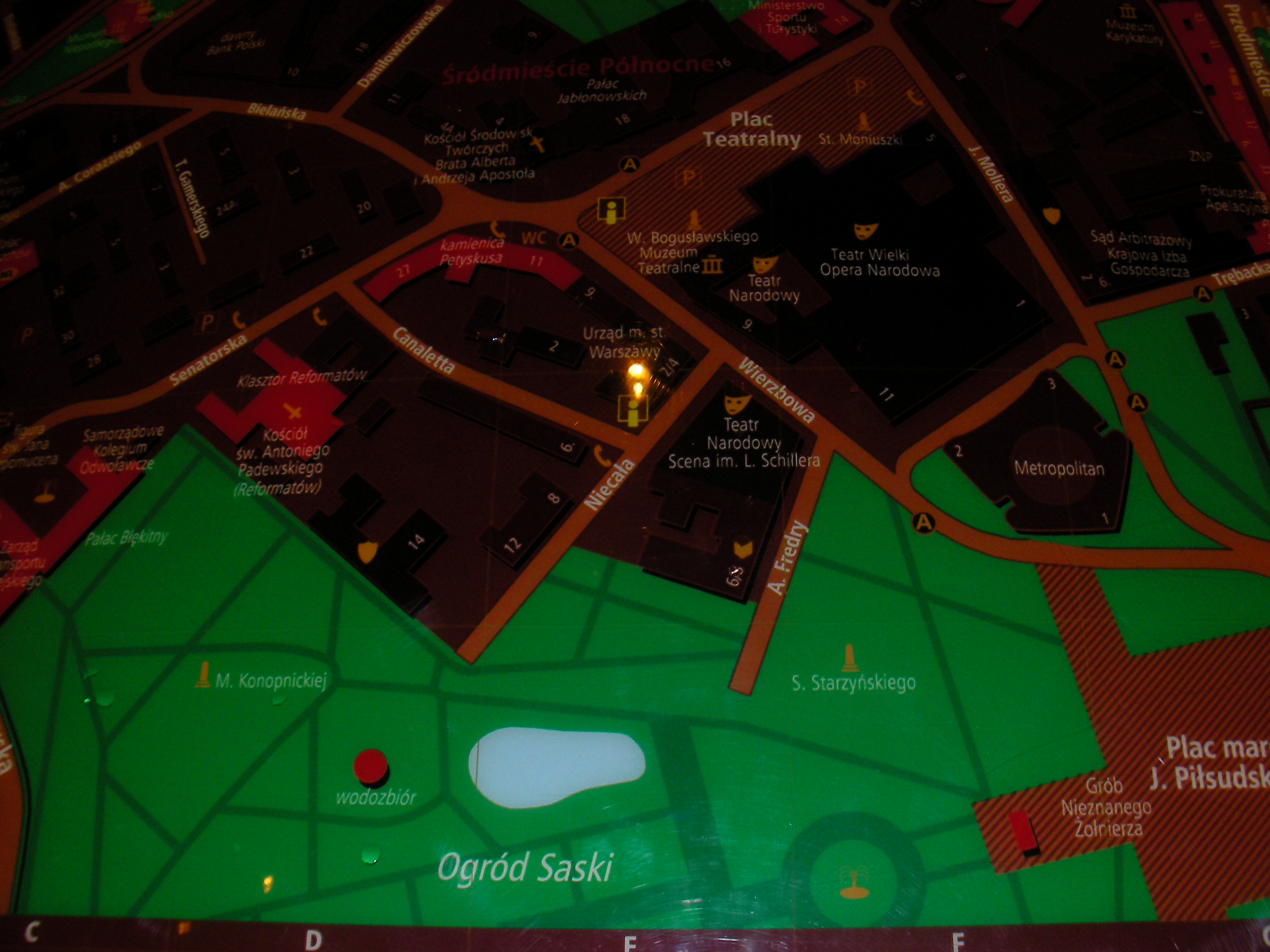
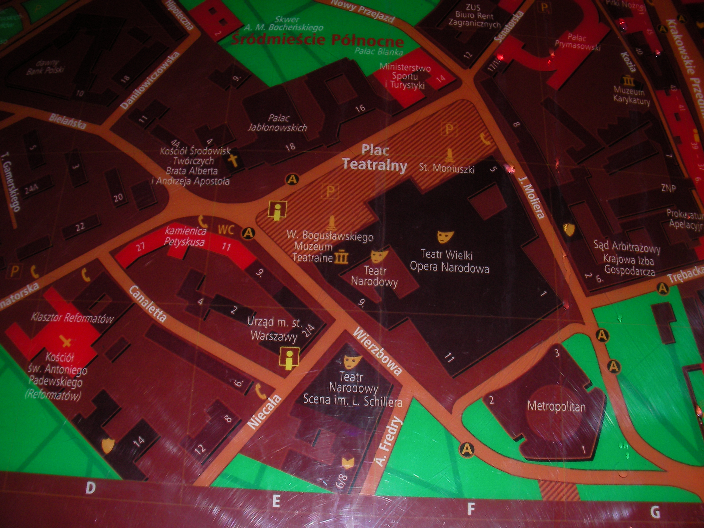
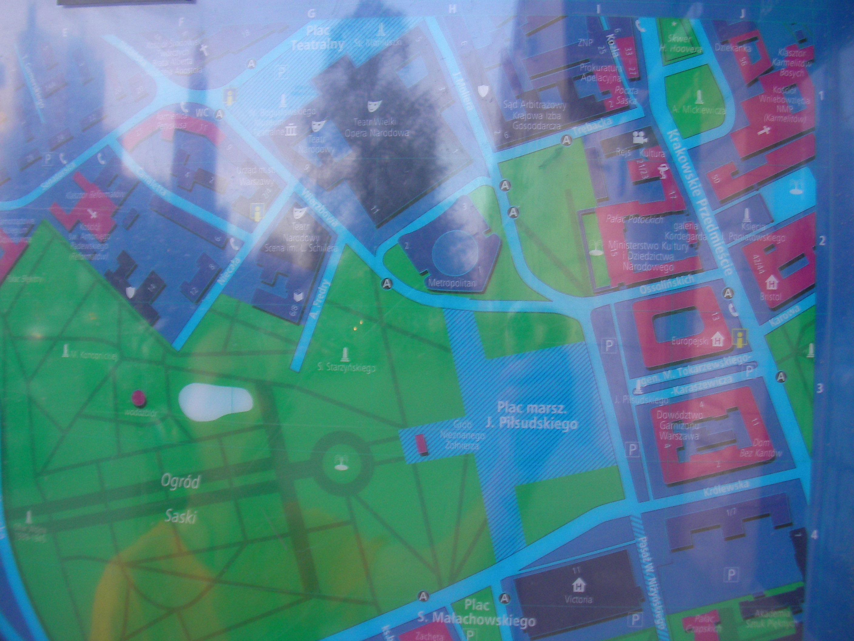
Teatr Narodowy
West end of the square in front of National Theatre. Approximate location.
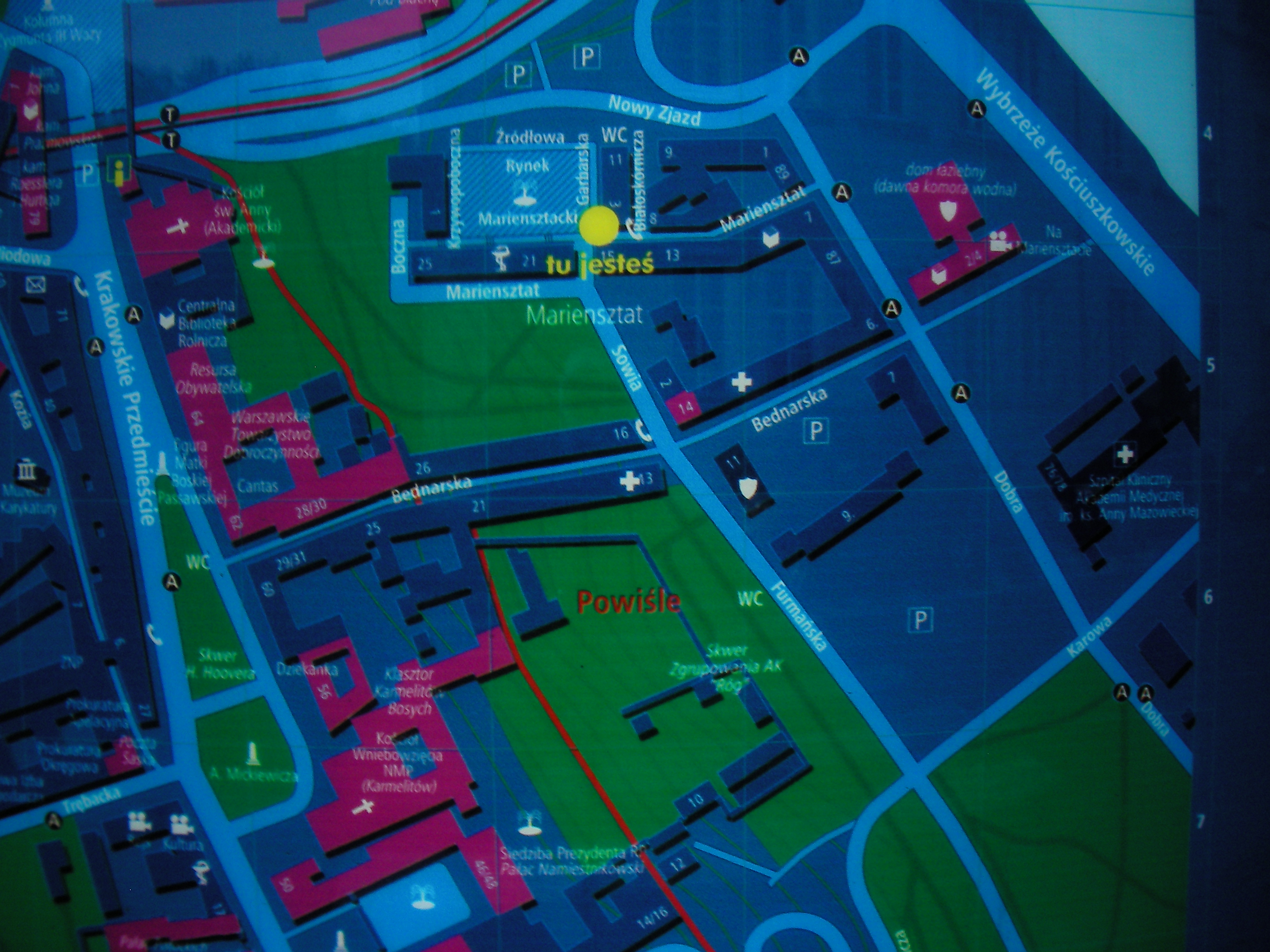
Mariensztat market square
East corner of Rynek Mariensztacki - central square of the Mariensztat suburb. Approximate location.
- Bottom-right, Bottom, Bottom-left, Right, Middle, Left, Top-right, Top, Top-left, Top.
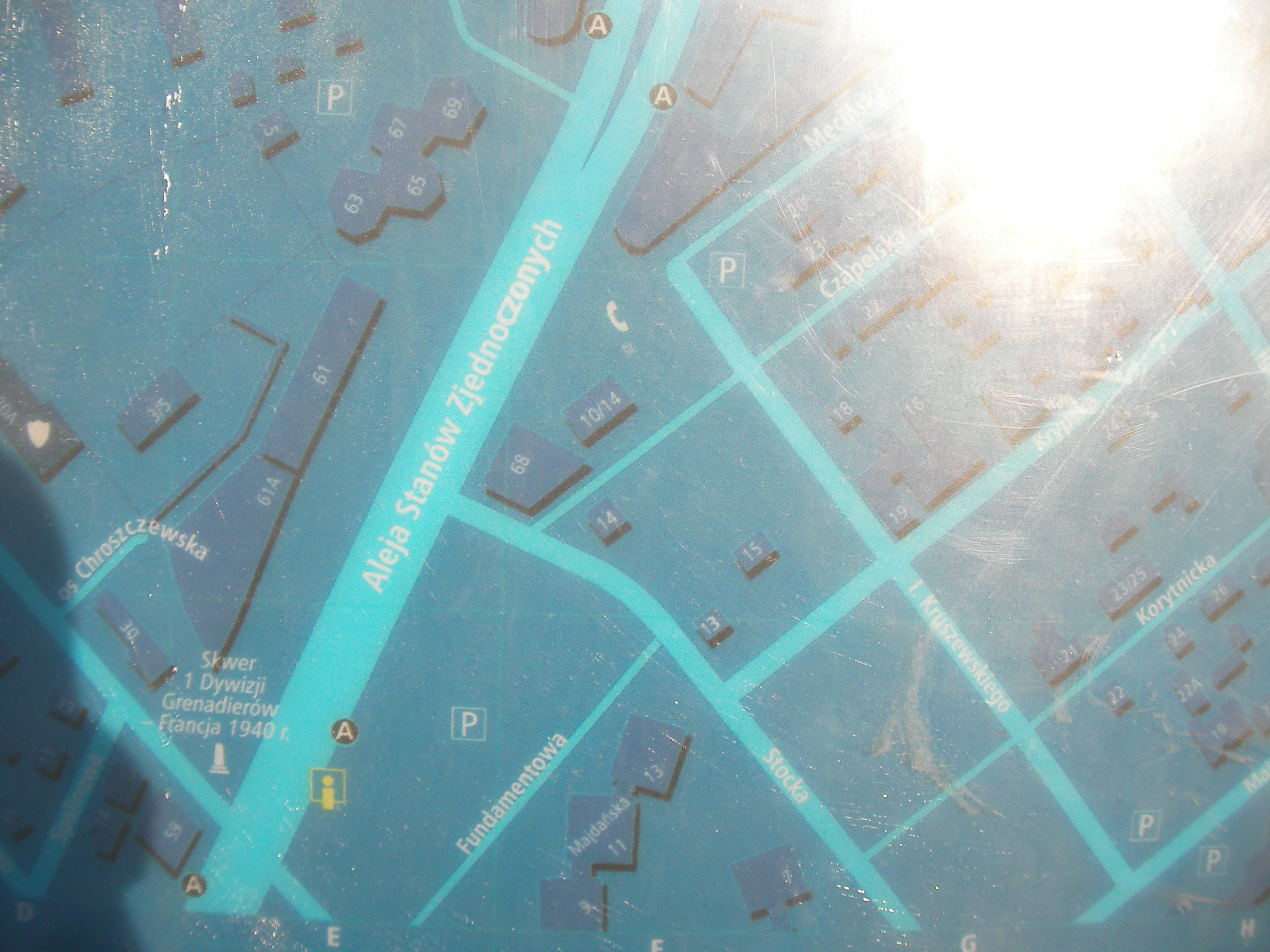
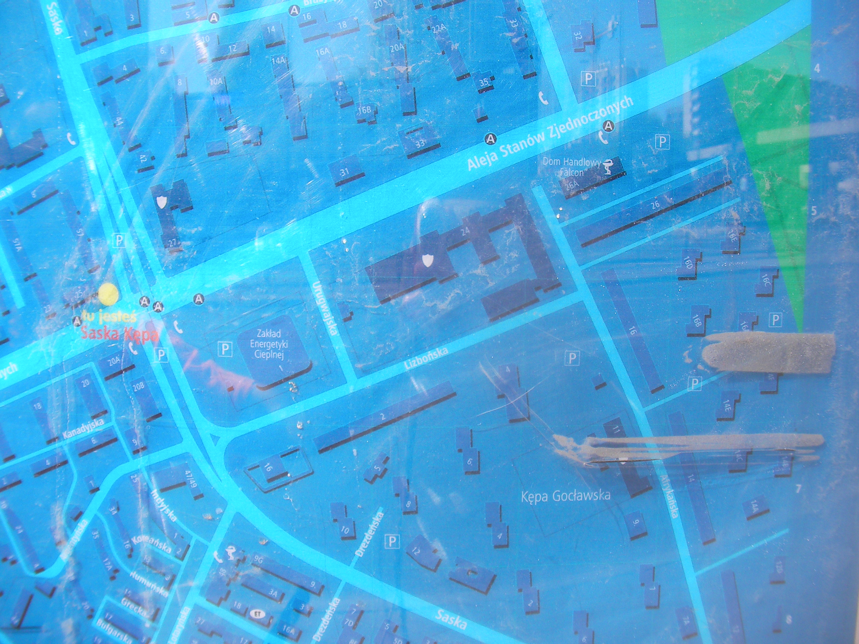
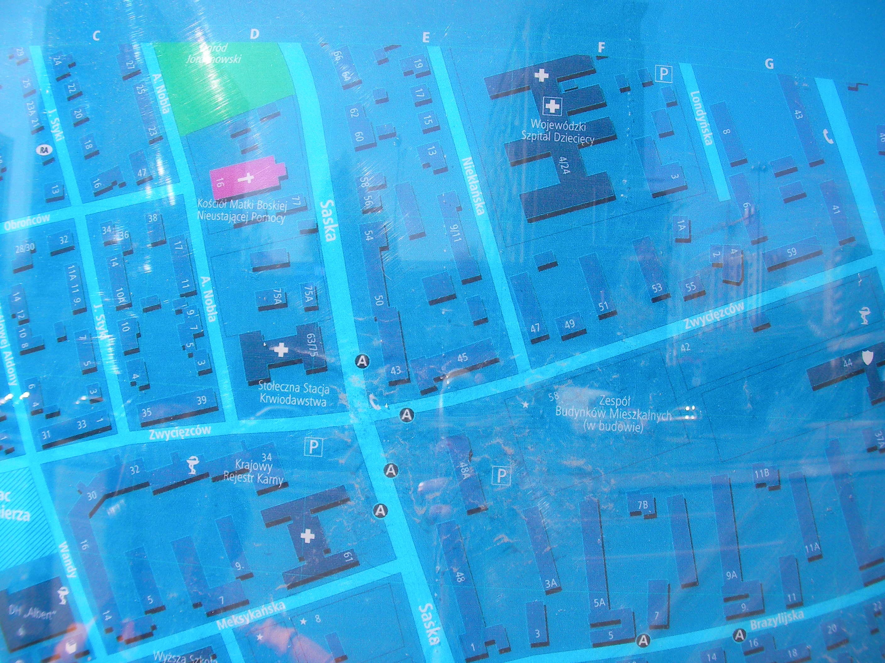
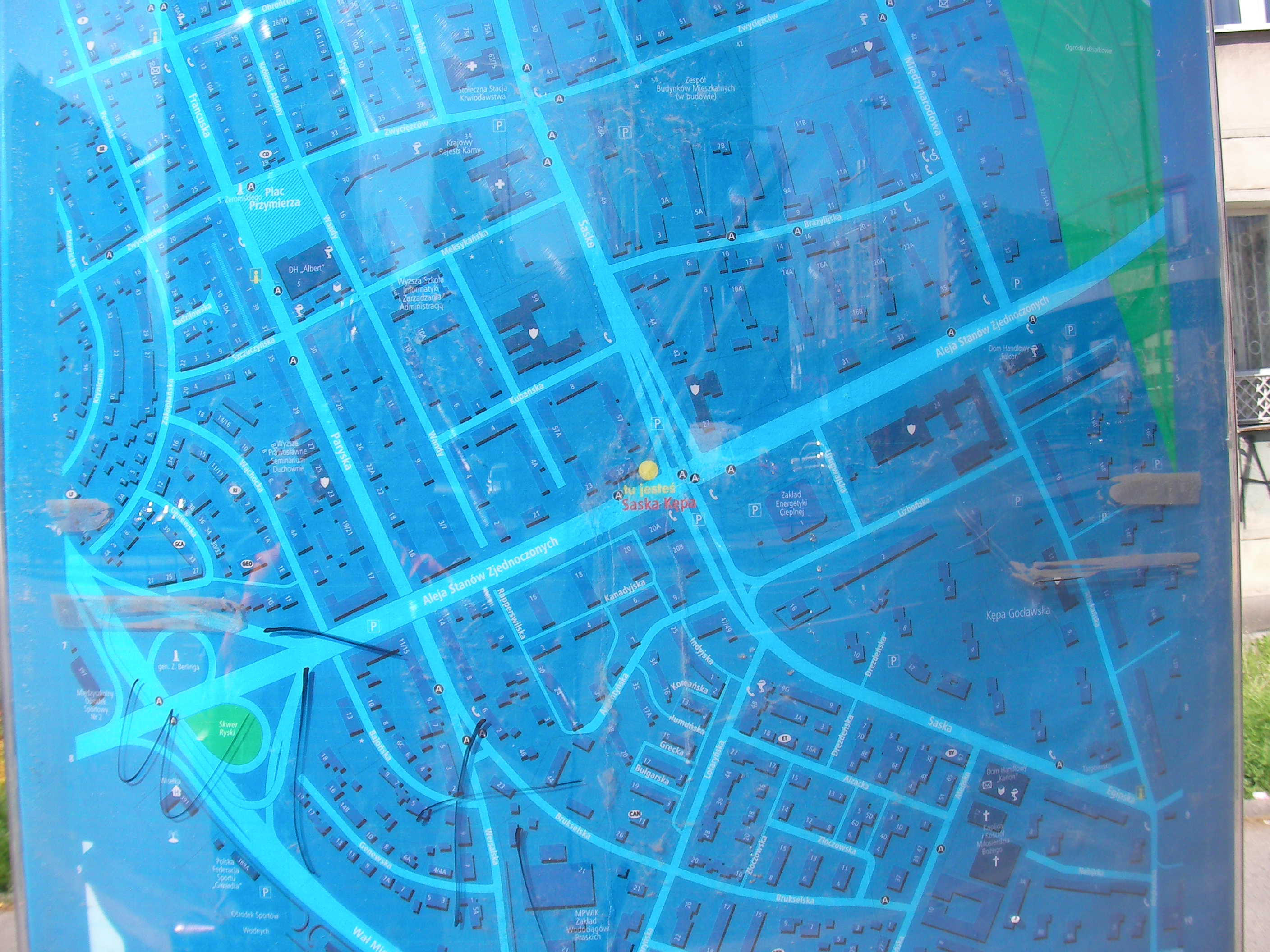
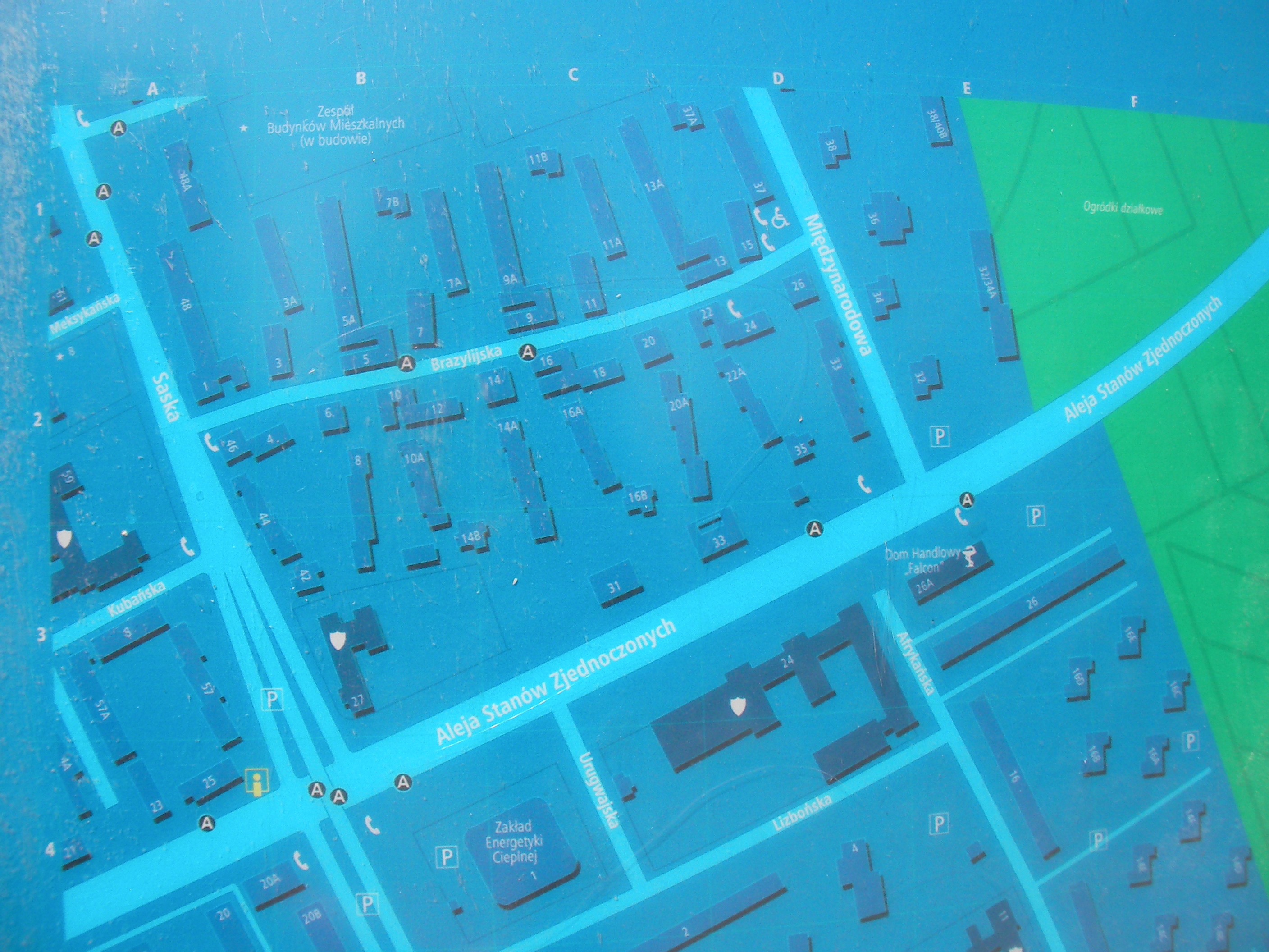
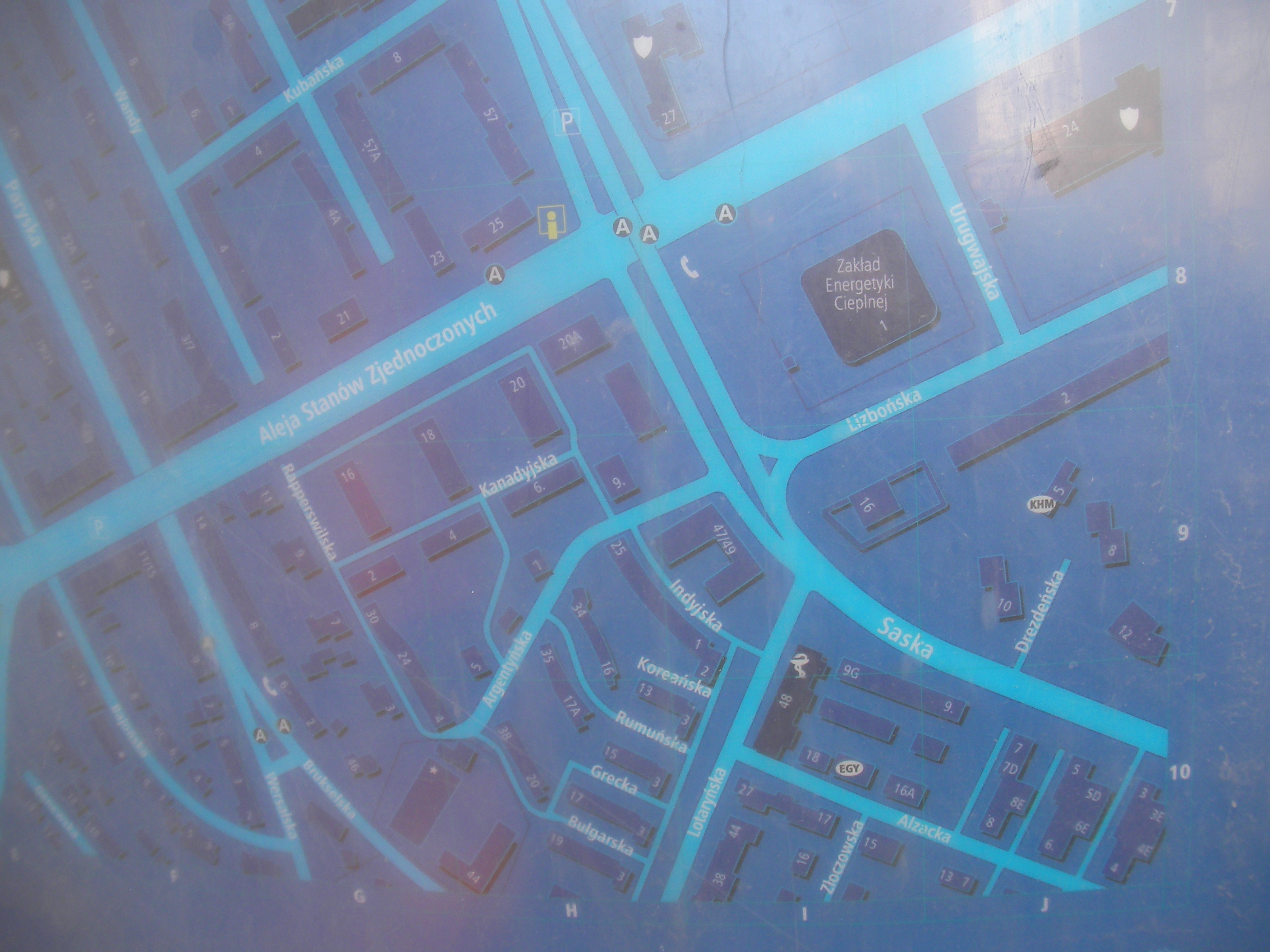
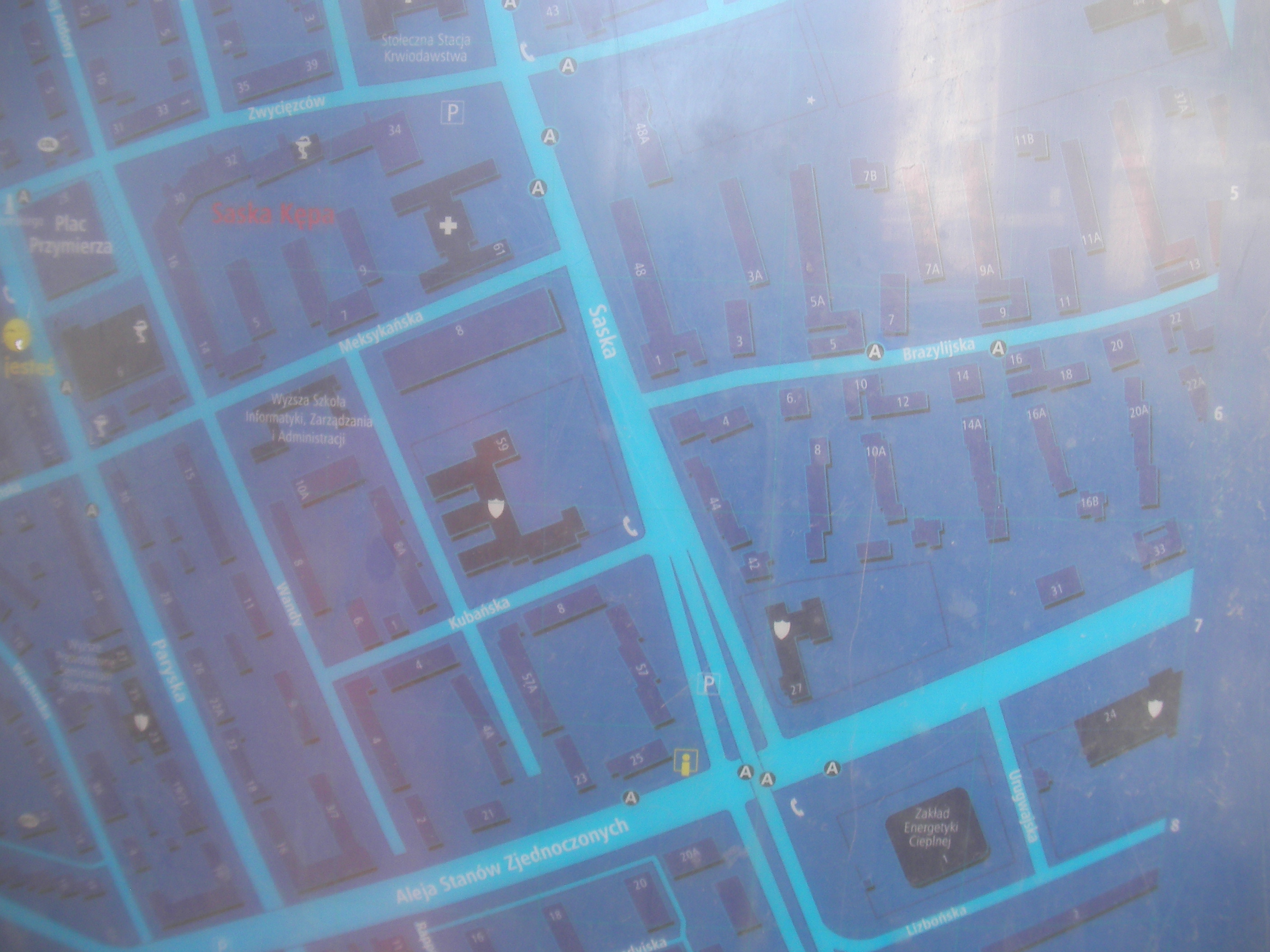
Aleja Stanów Zjednoczonych, Saska
Bus stop at the north side of Aleja Stanów Zjednoczonych and west side of the Saska viaduct. Approximate location.
- Bottom-right, Bottom, Bottom-left, Left, Middle, Right, Top-right, Top, Top-left, Overview.
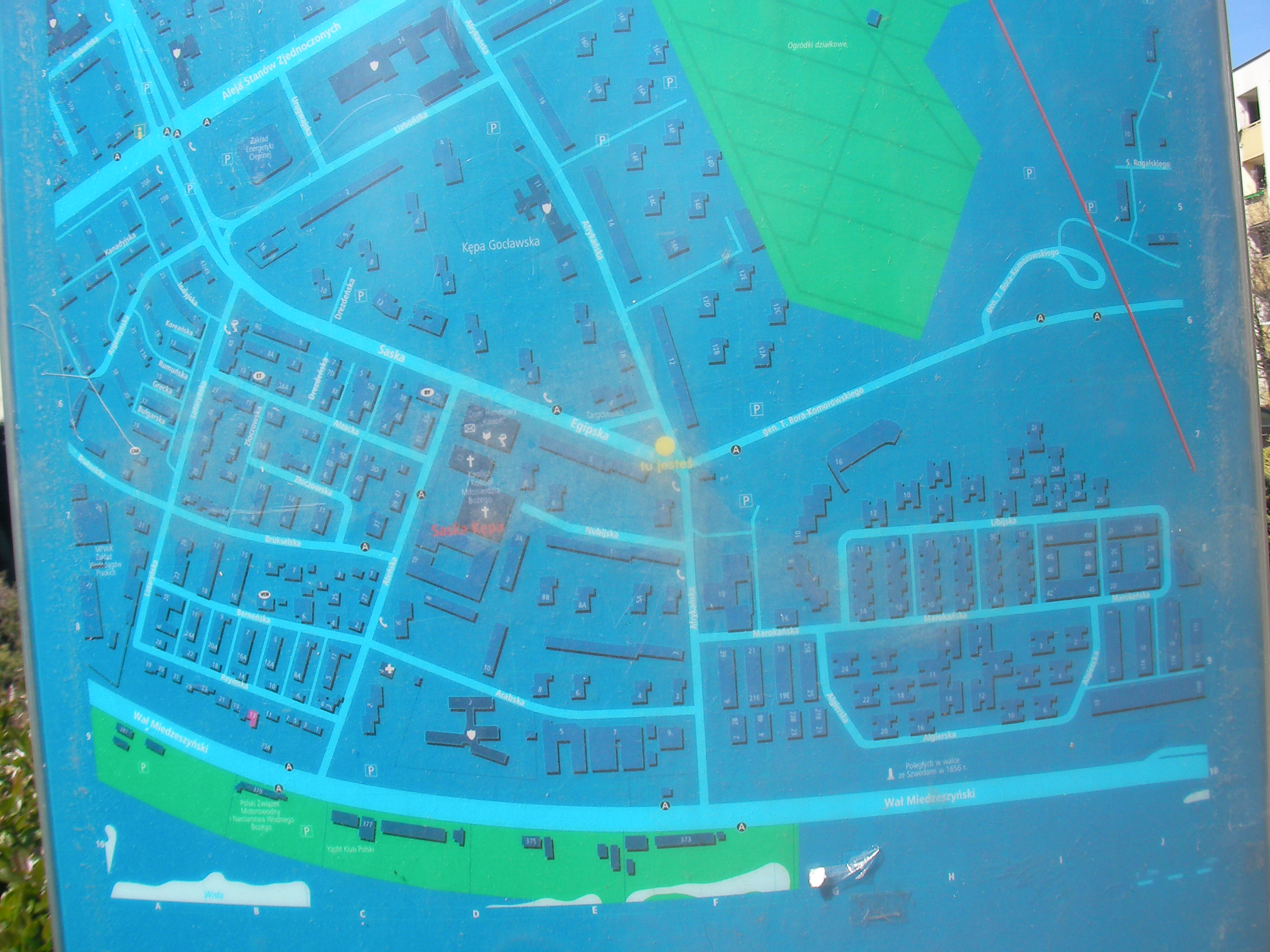
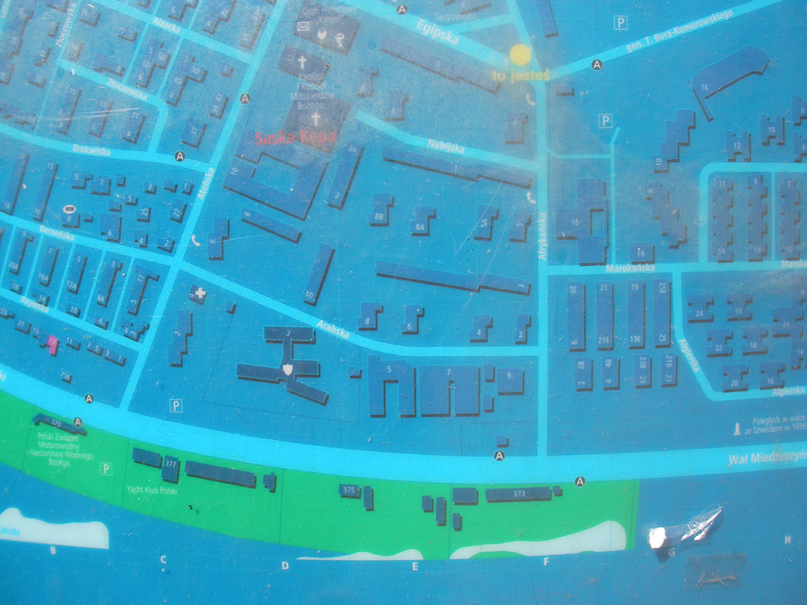
Egipska
Crossing at the east end of Egipska in Saska Kępa district. Approximate location.
- Overview, Top-half, Bottom-right, Bottom, Bottom-left, Left, Middle, Right, Top-right, Top, Top-left, Map-key.
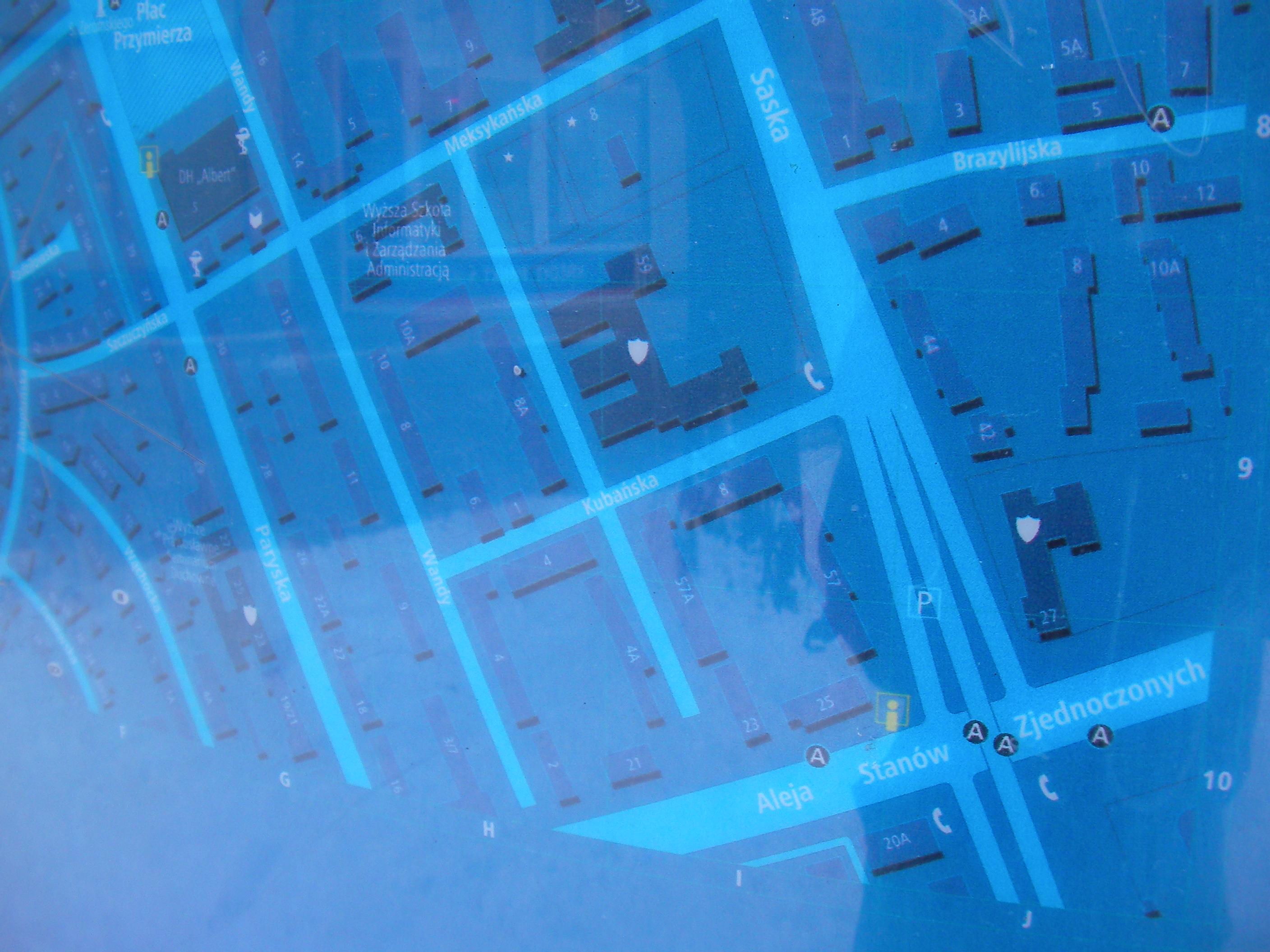
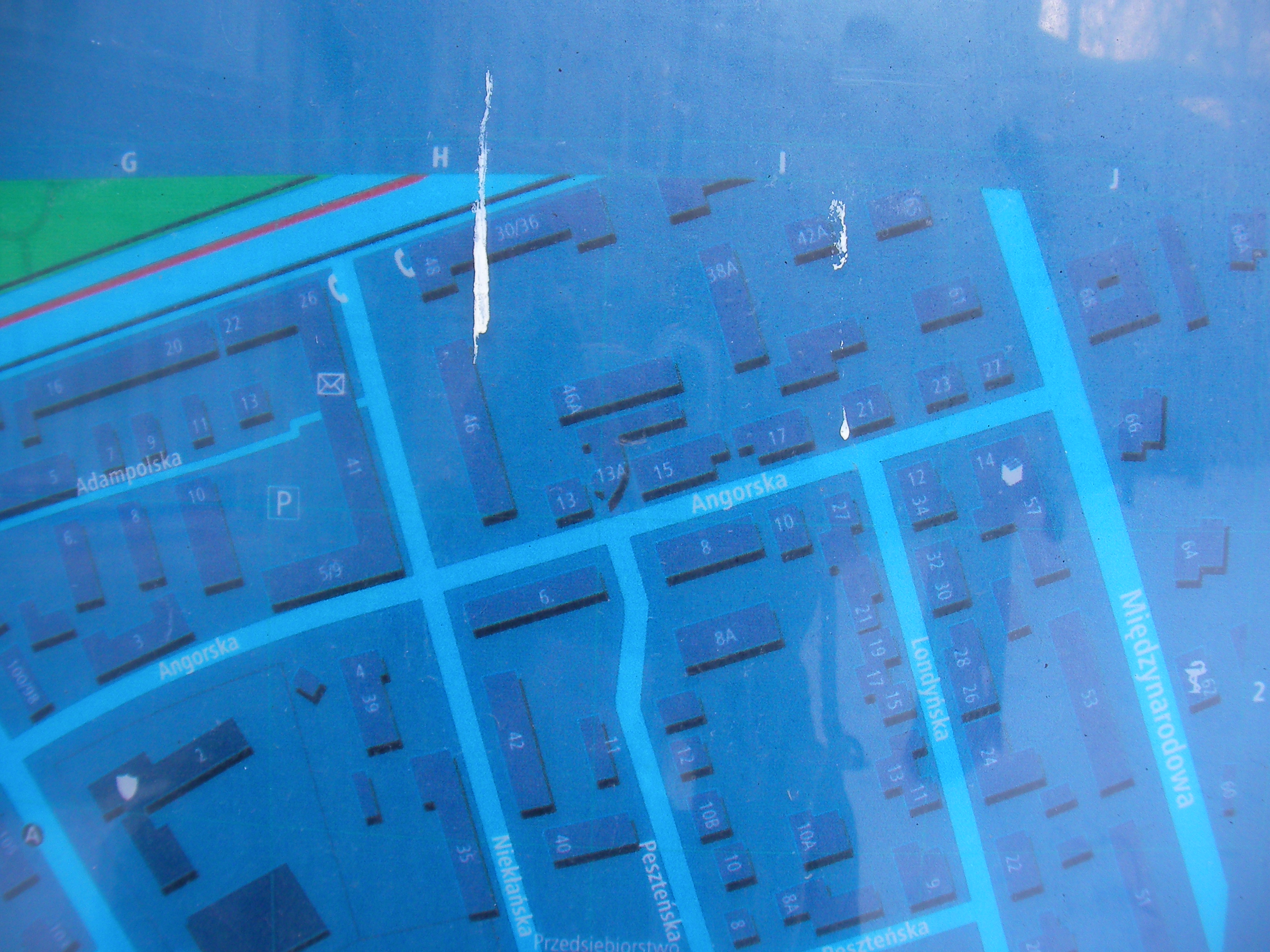
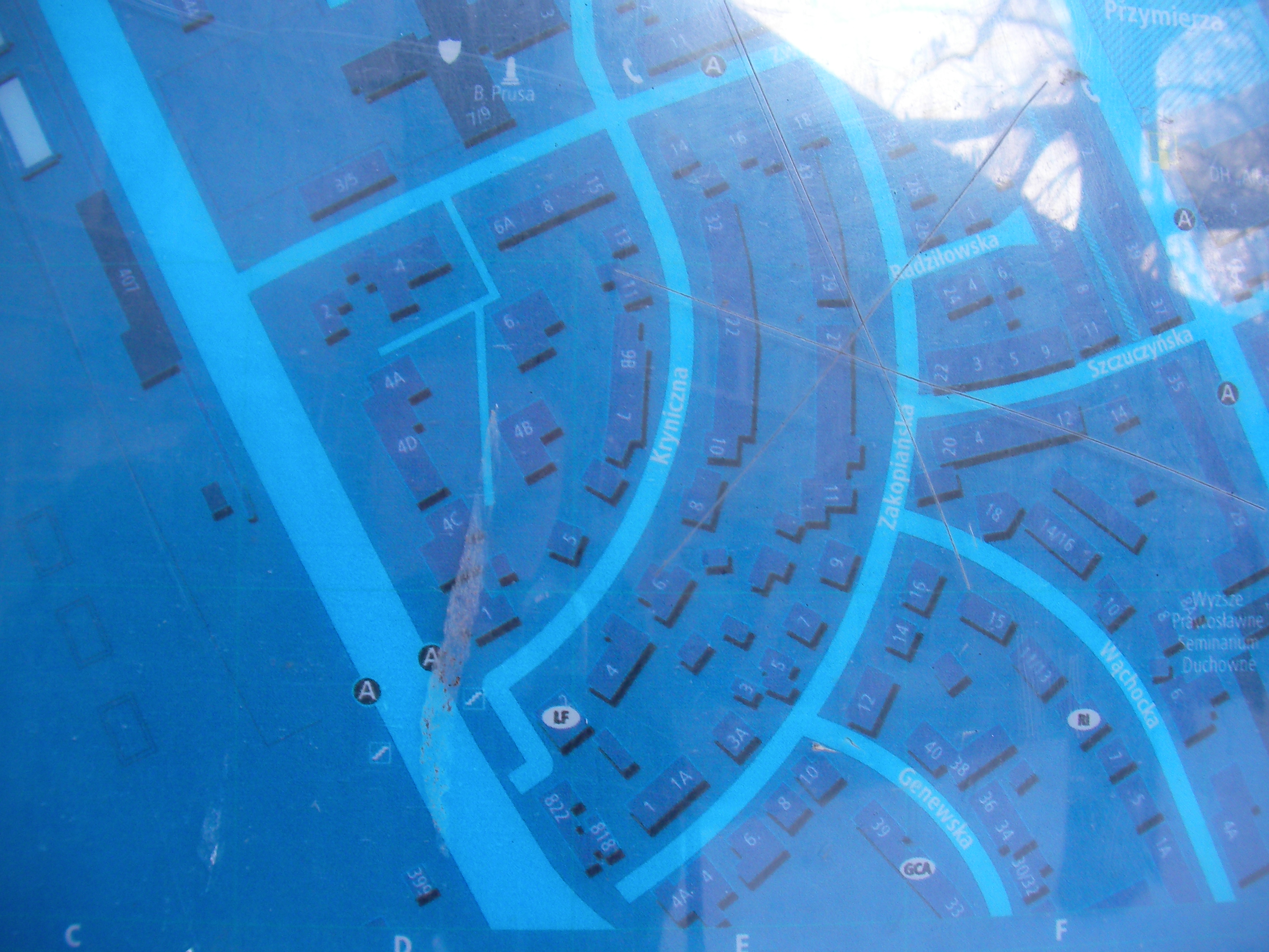
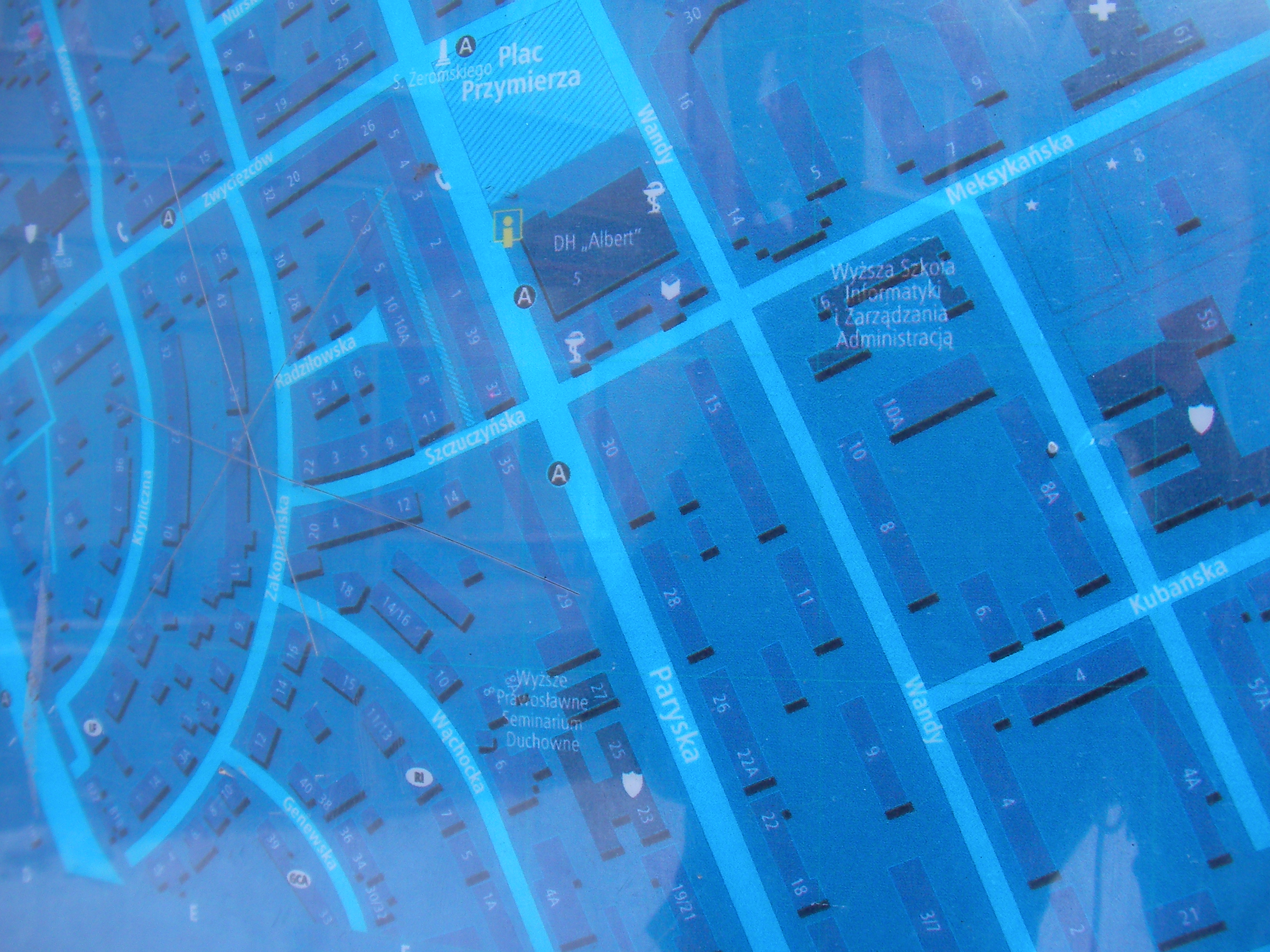
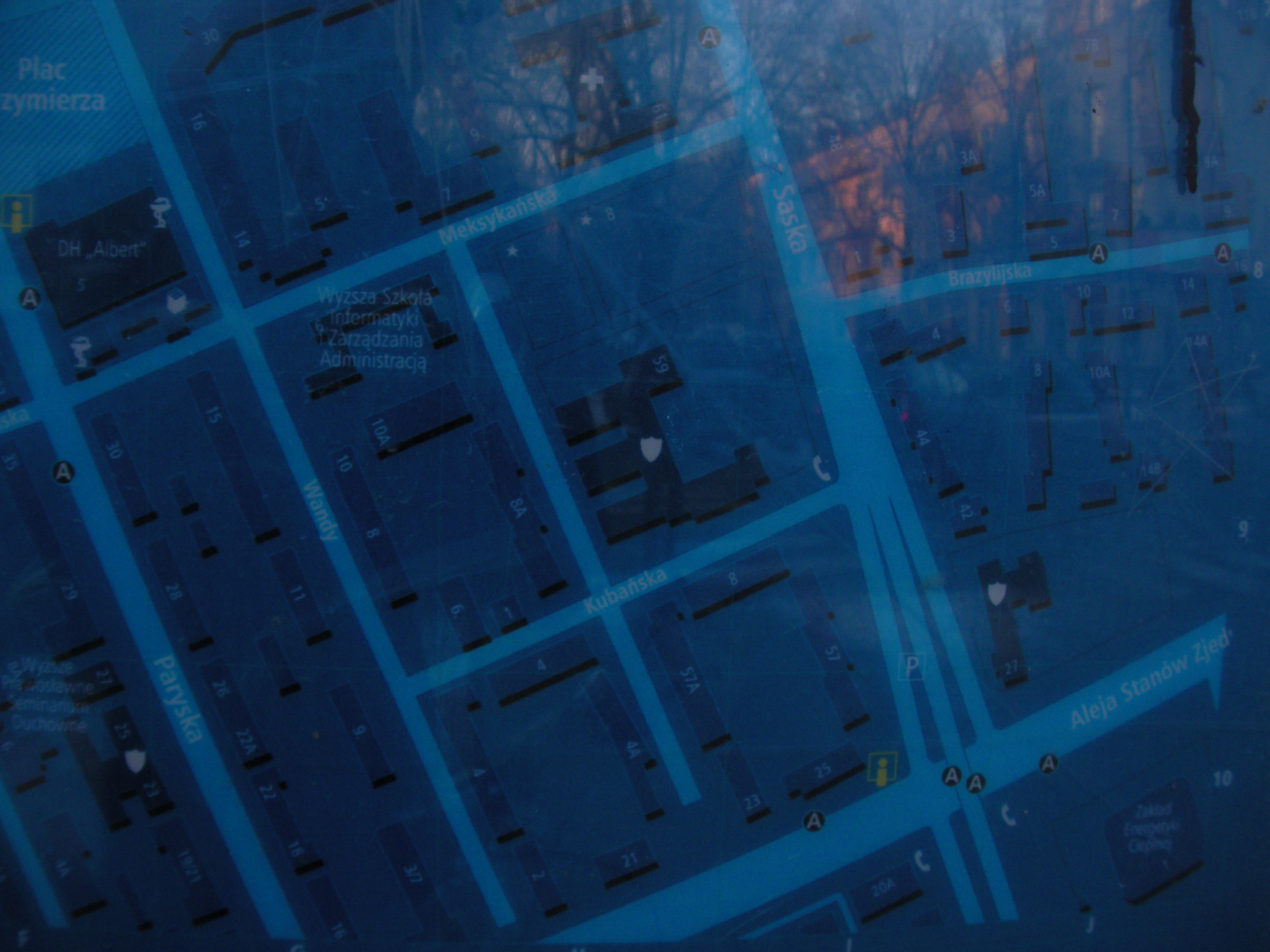
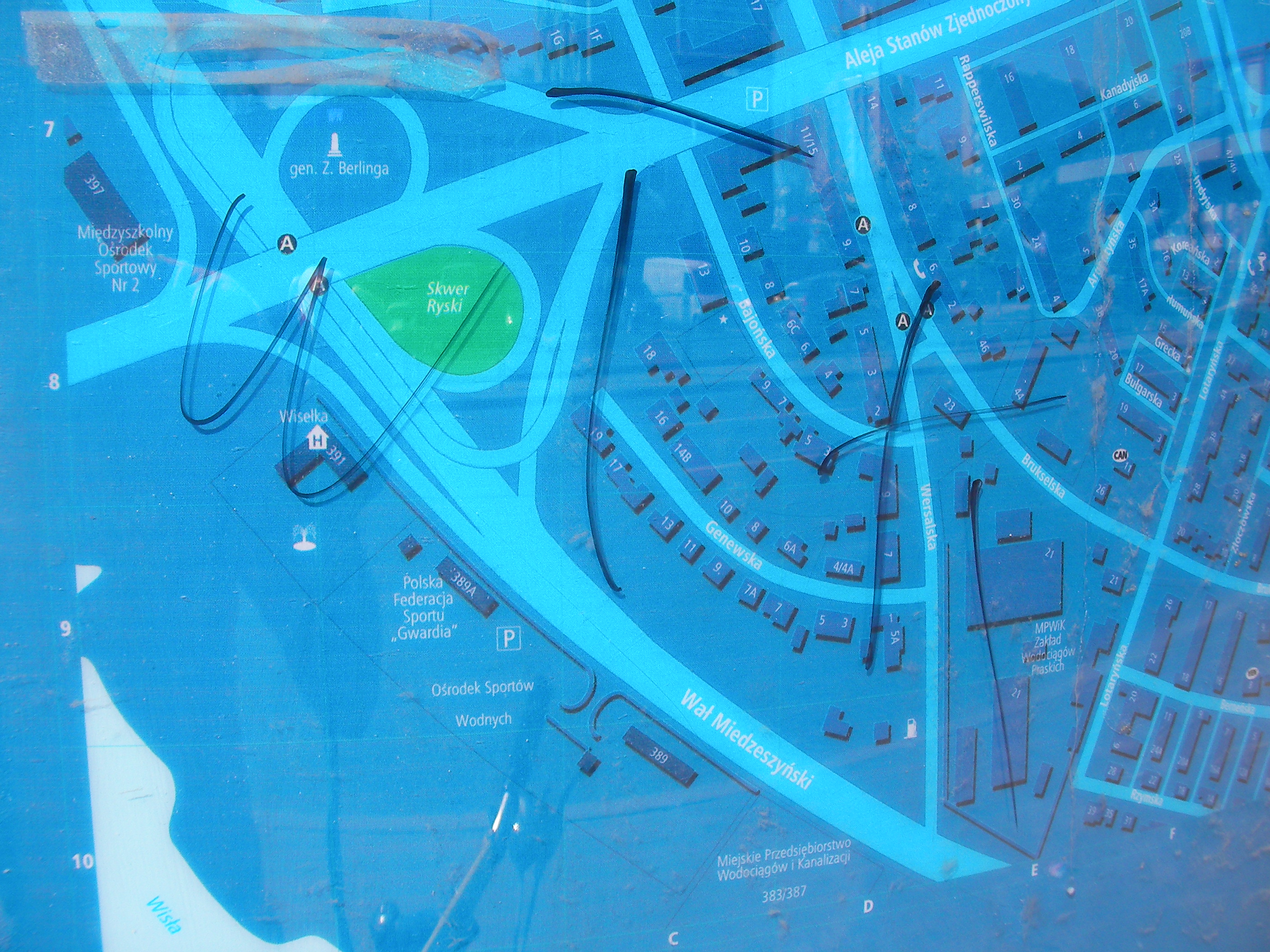
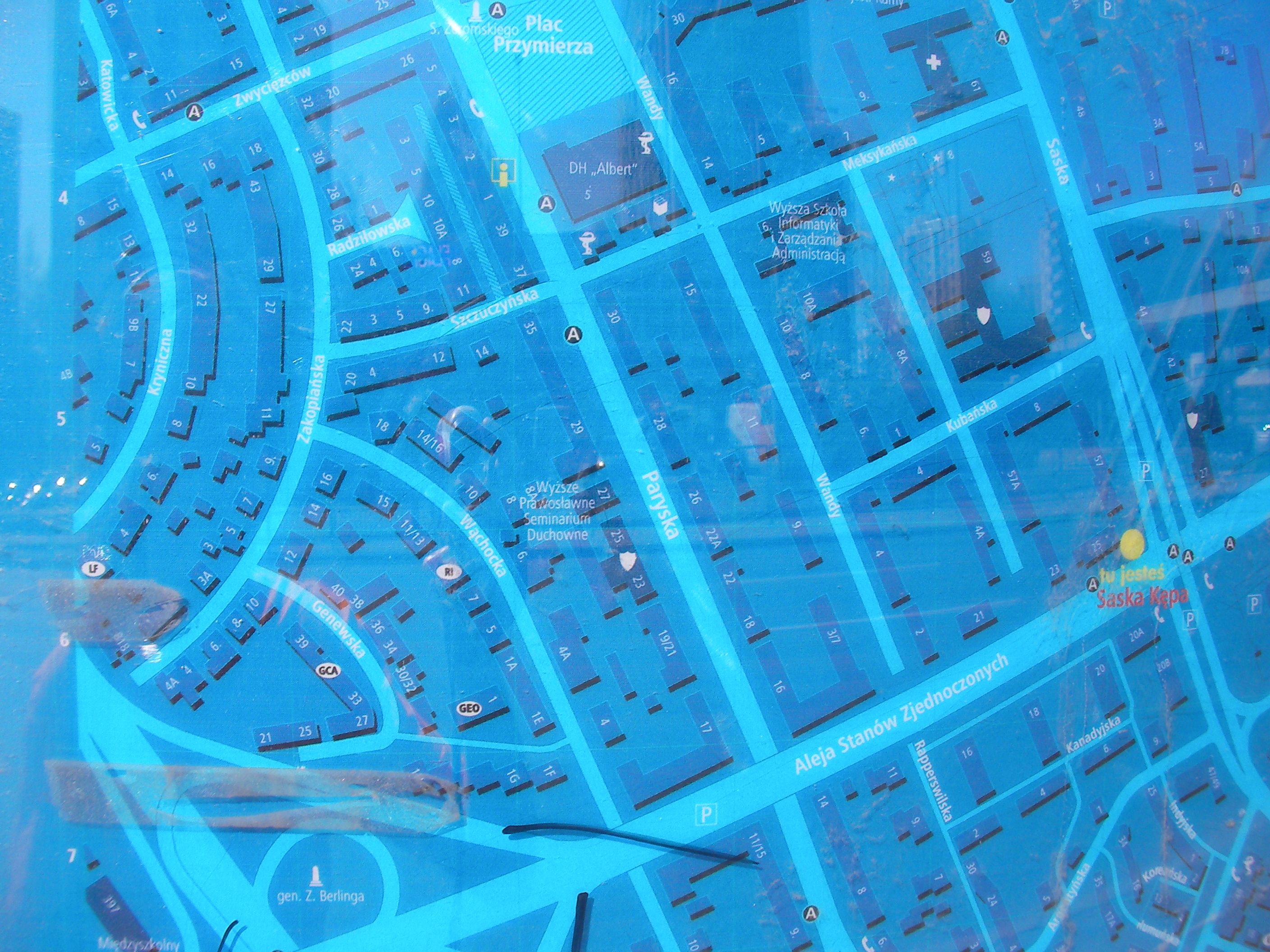
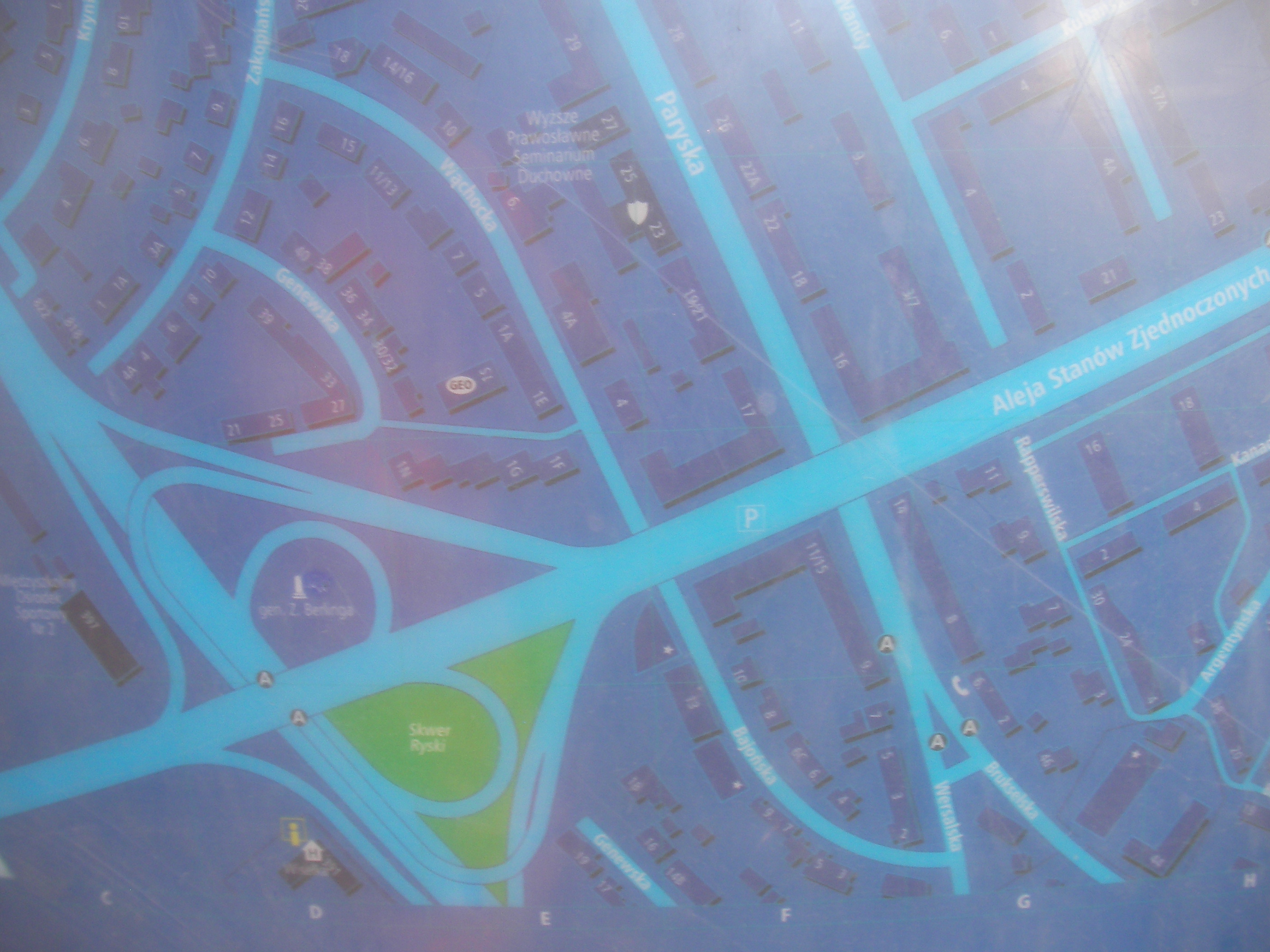
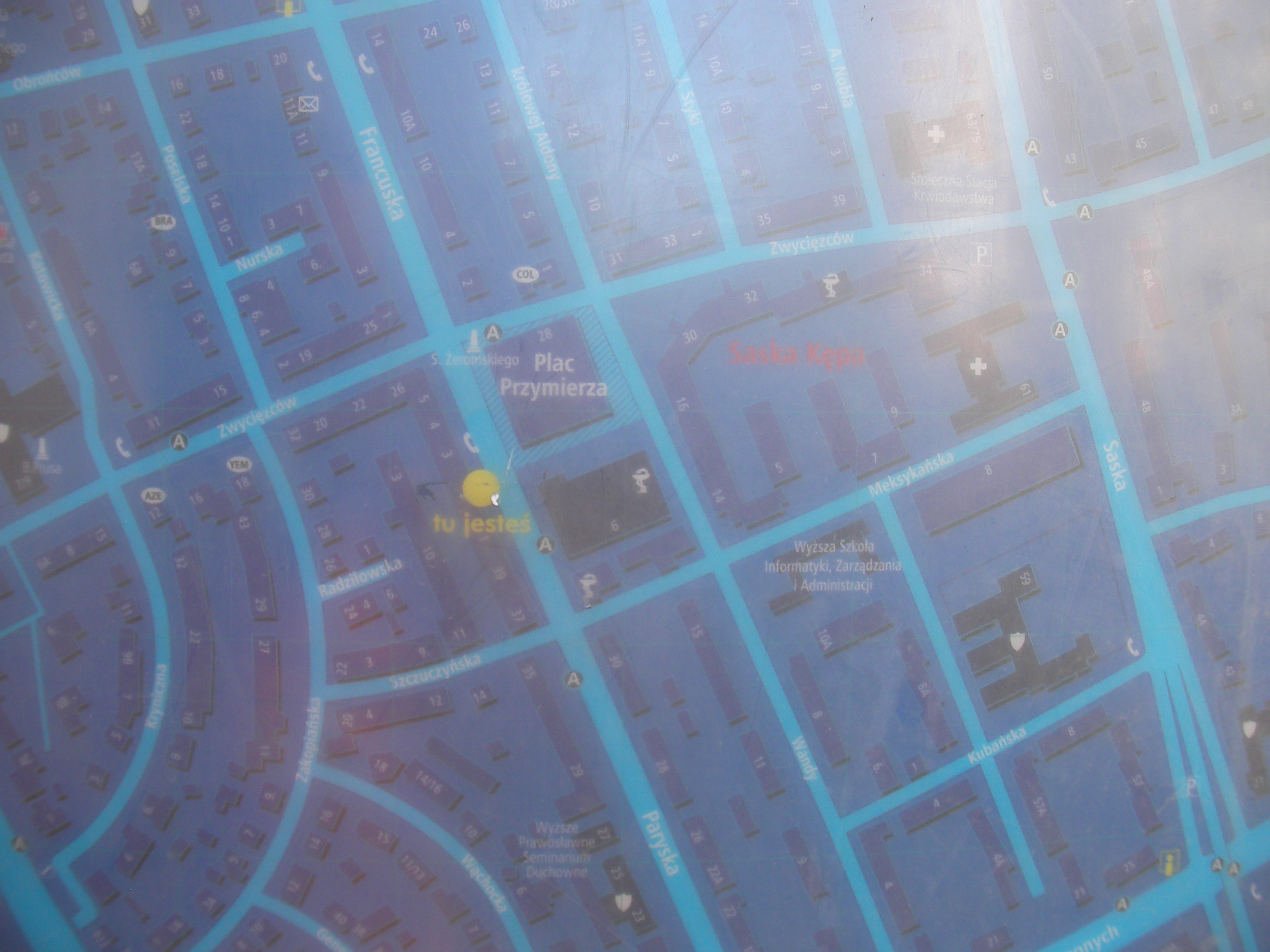
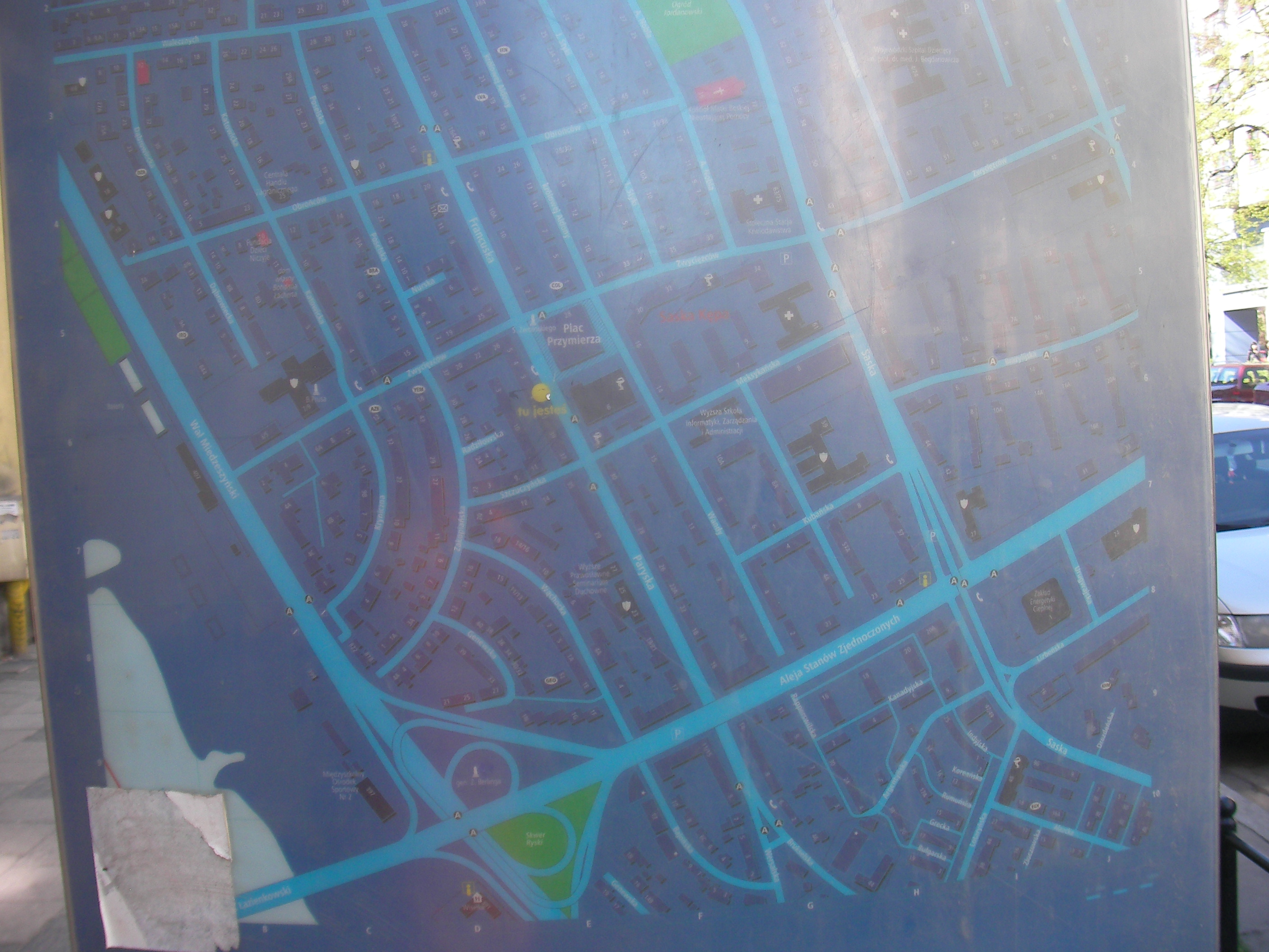
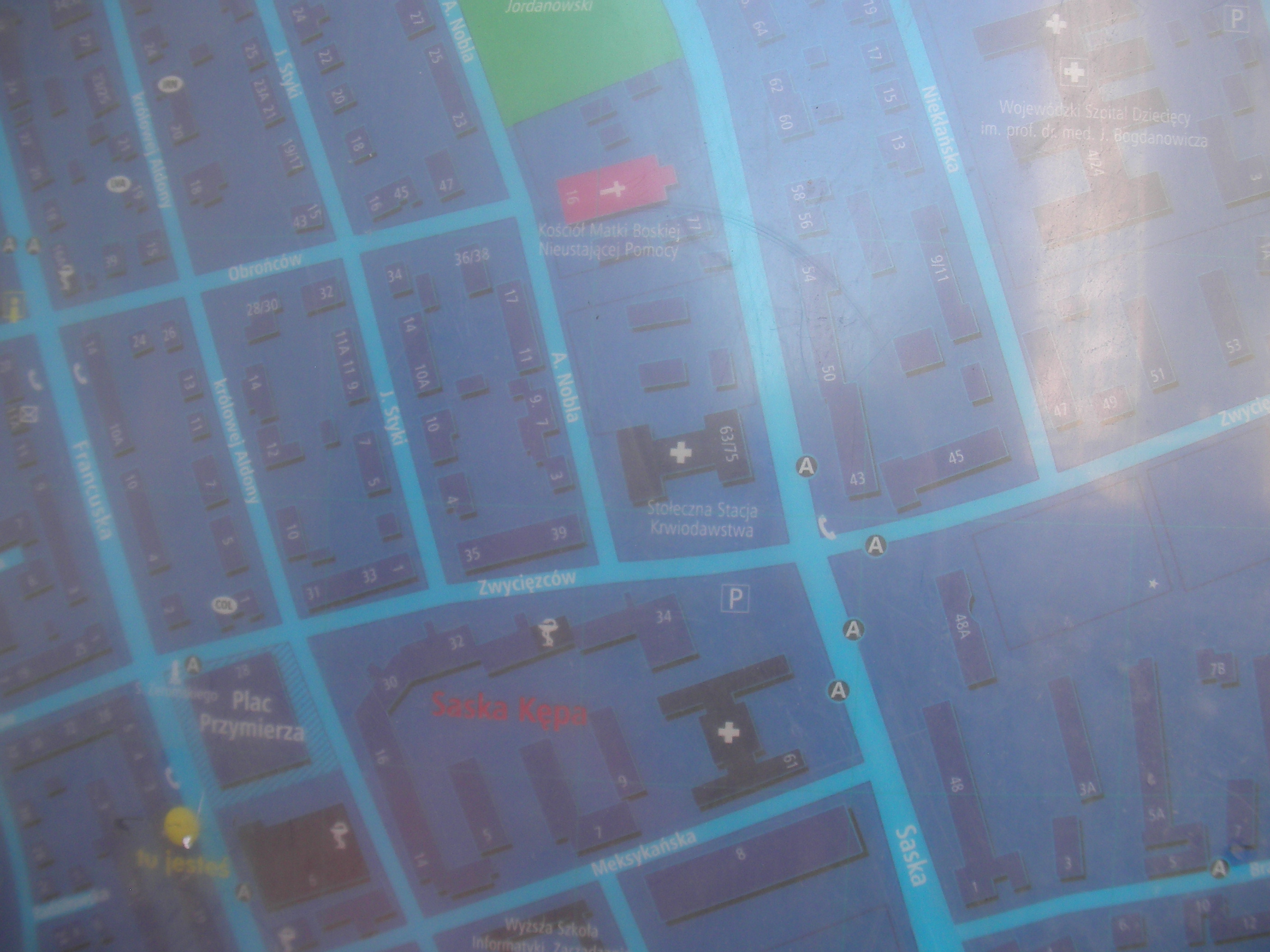
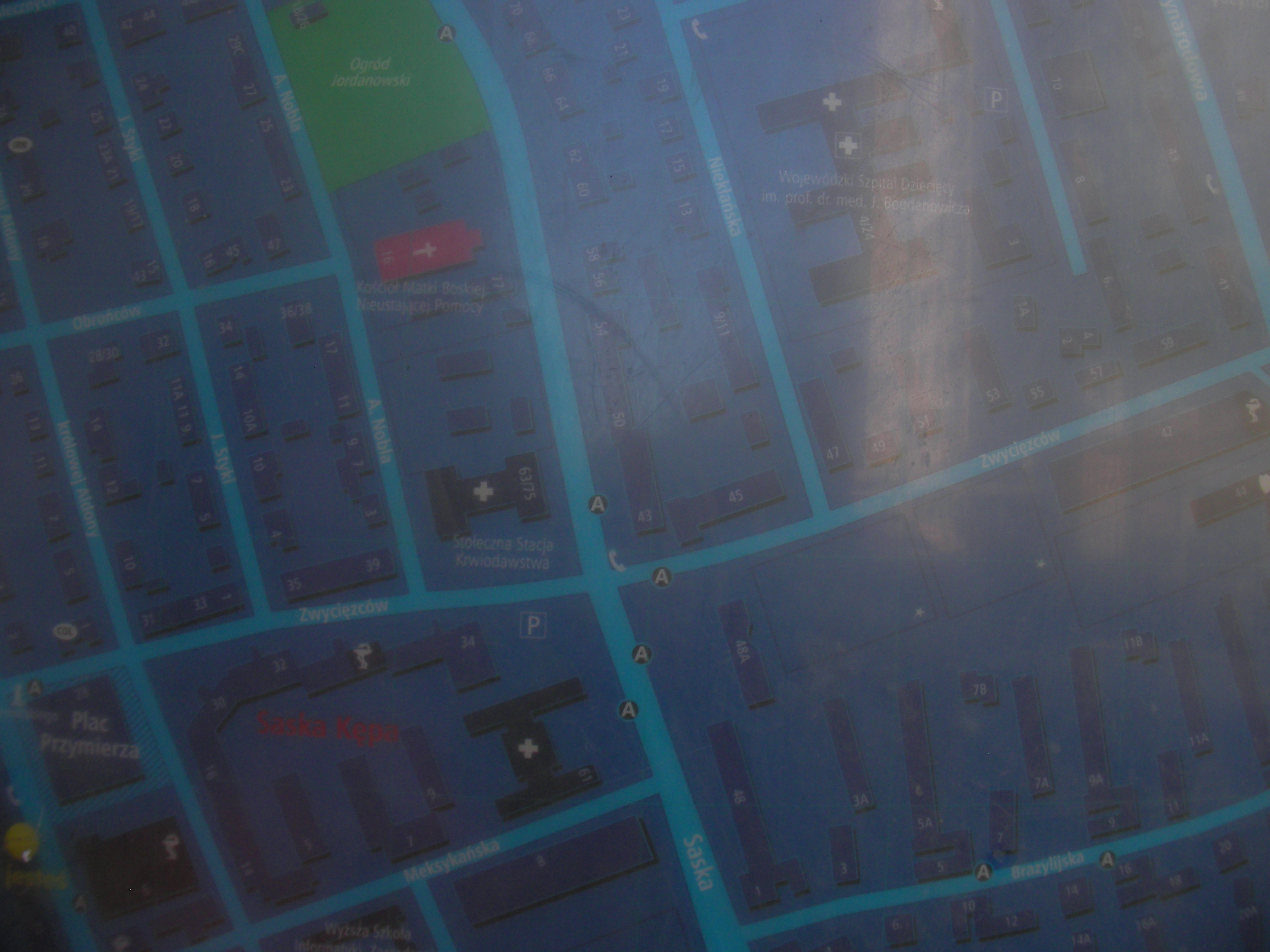
Plac Przymierza
(Former) Przymierza square, currently the crossing between Paryska & Zwycięzców, close to "Meksykańska (dawne Kino Sawa)" bus stop. Approximate location.
- Map-key, Bottom-right, Bottom, Bottom-left, Right, Middle, Left, Top-left, Top, Top-right, Middle, Overview, Right, Right.
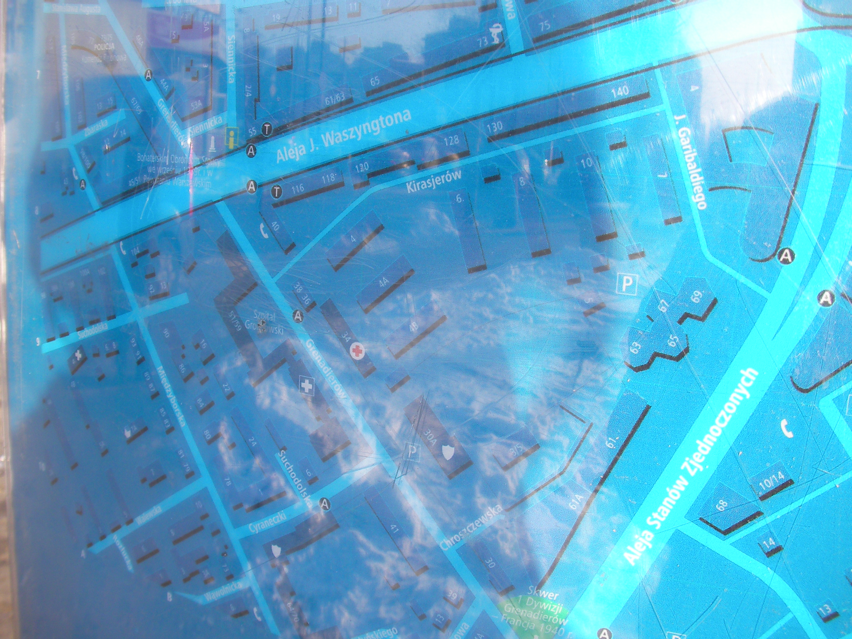
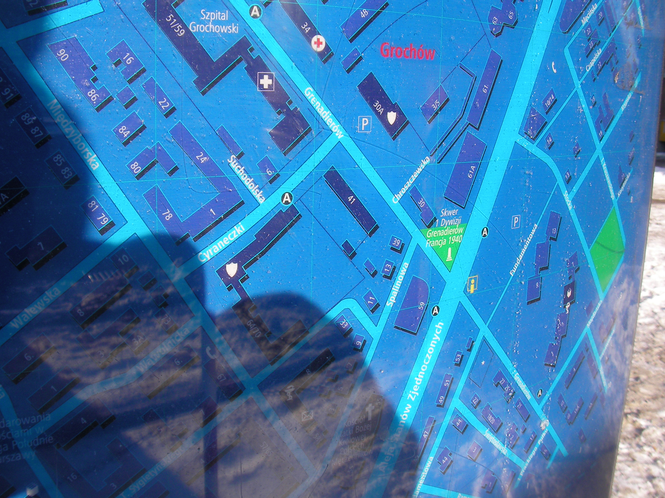
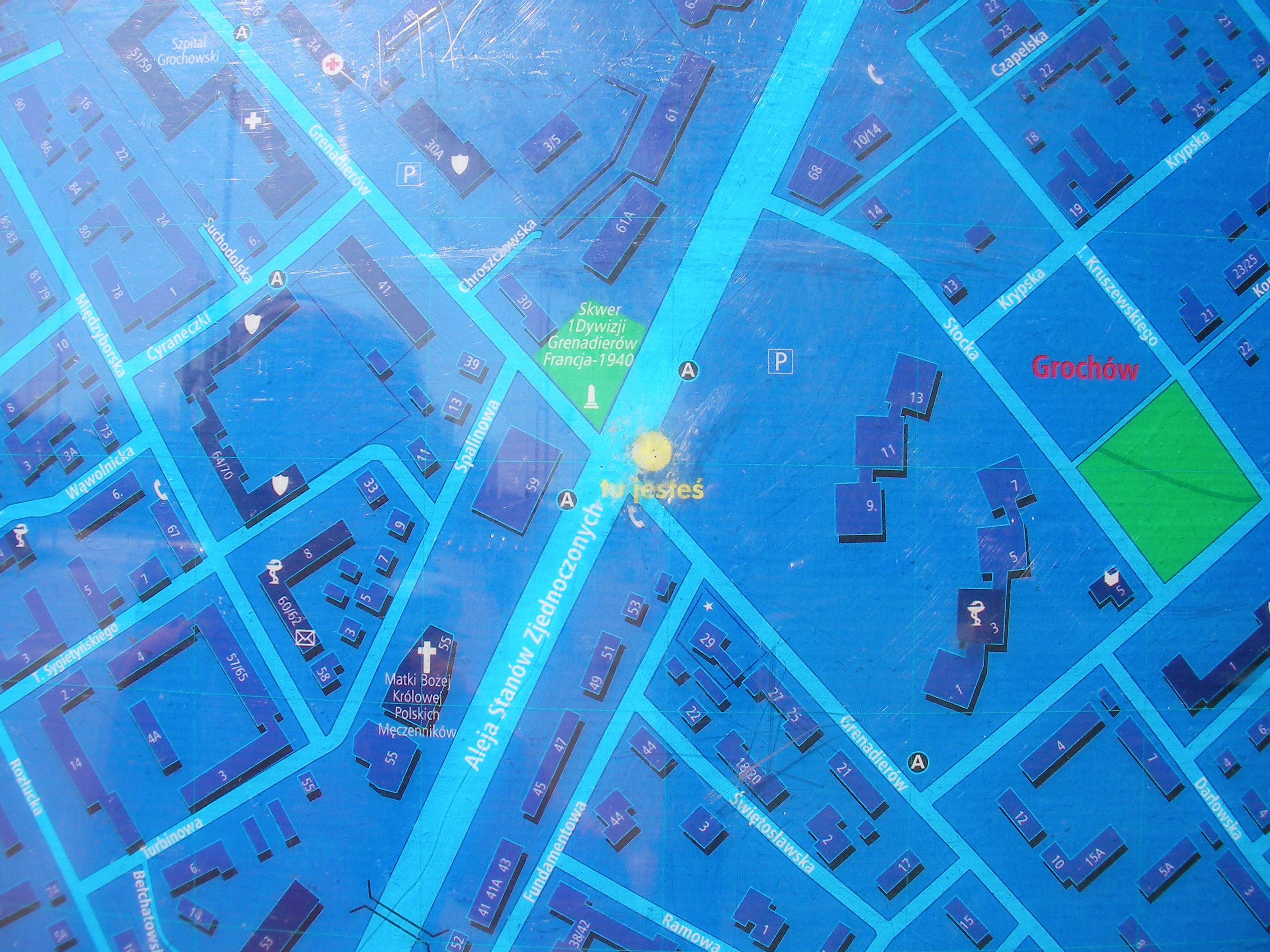
Aleja Stanów Zjednoczonych, Grenadierów
East corner of the crossing of the two streets. Approximate location.
- Middle, Map-key, Bottom-right, Bottom, Bottom-left, Left, Middle, Right, Top-right, Top, Top-left, Bottom.
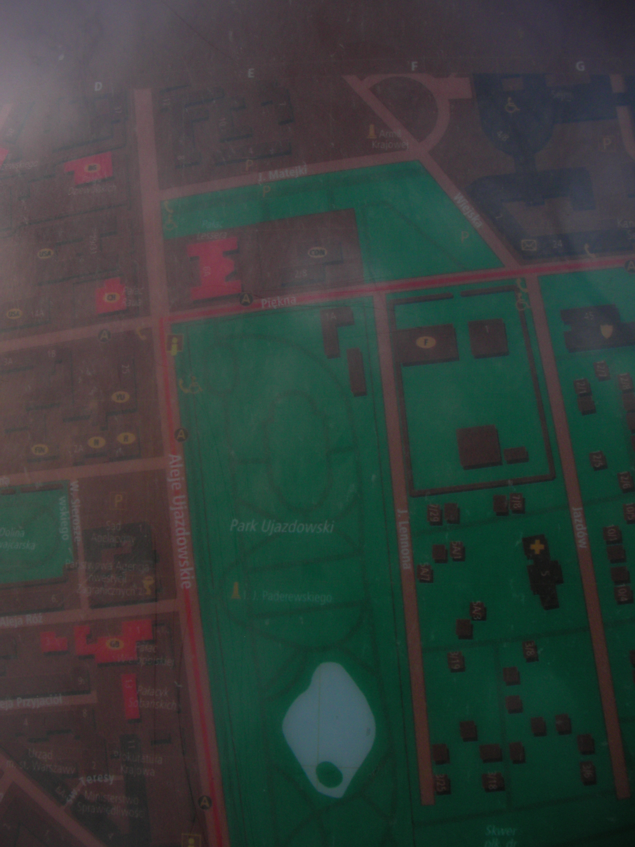
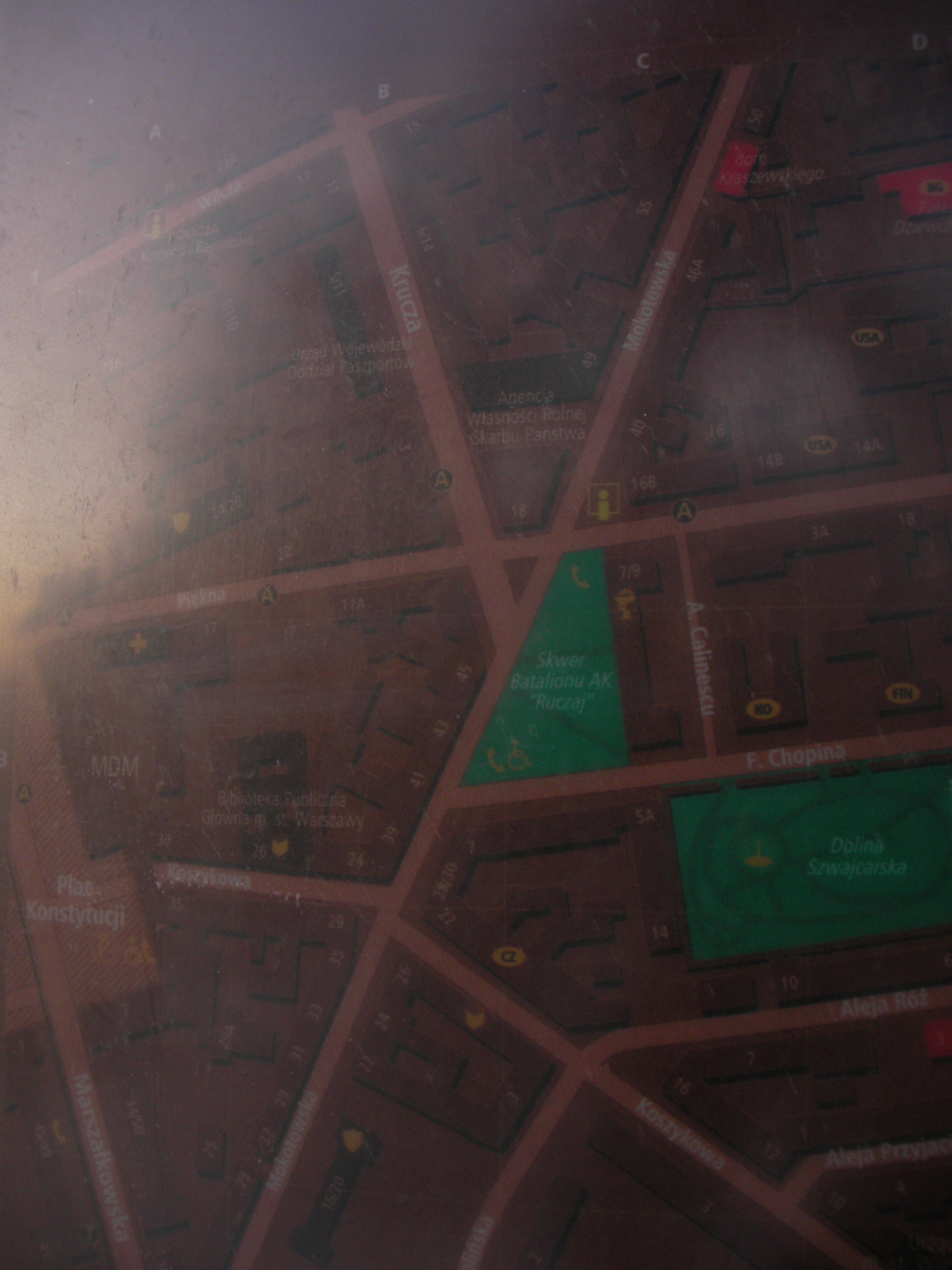
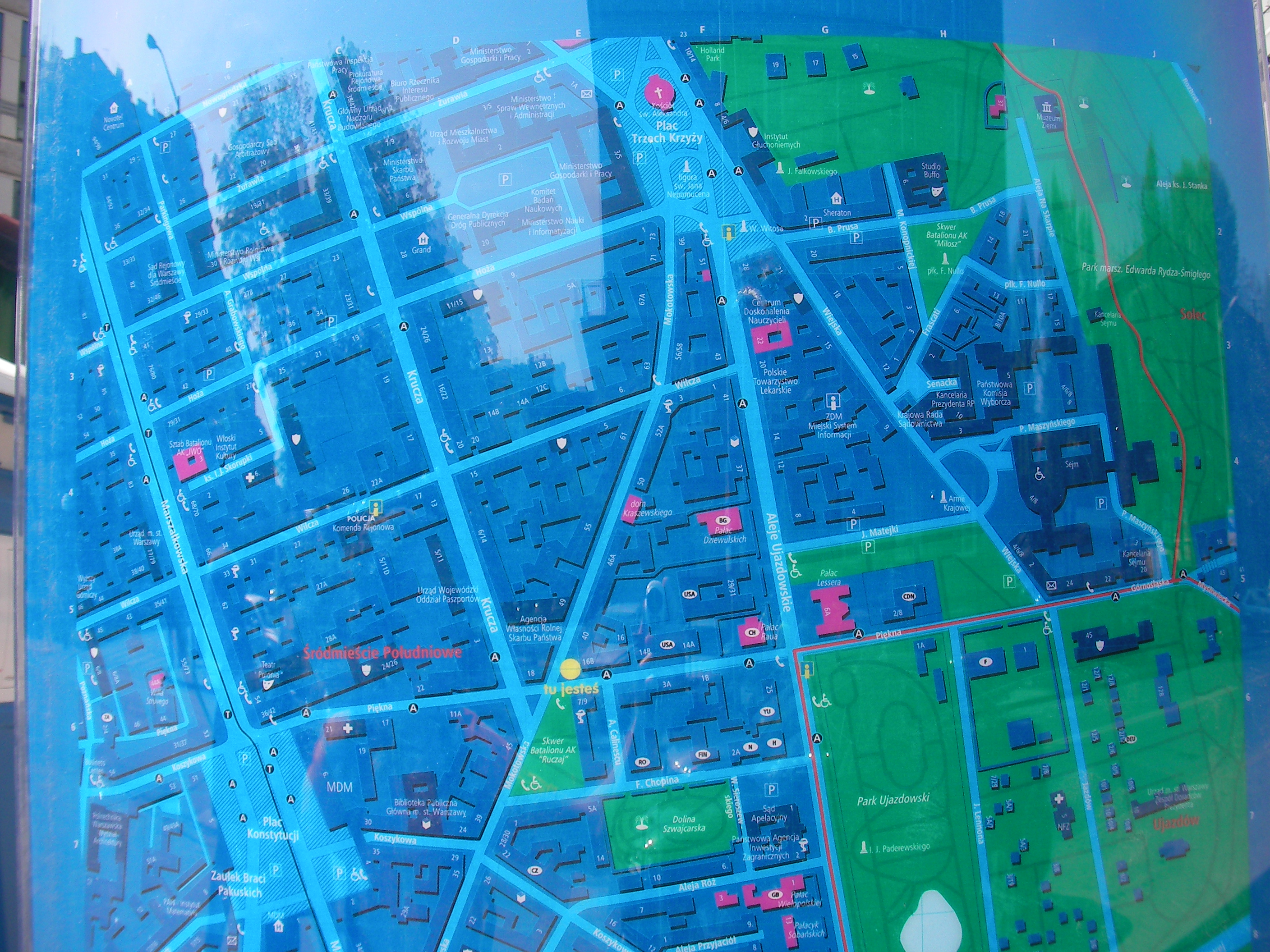
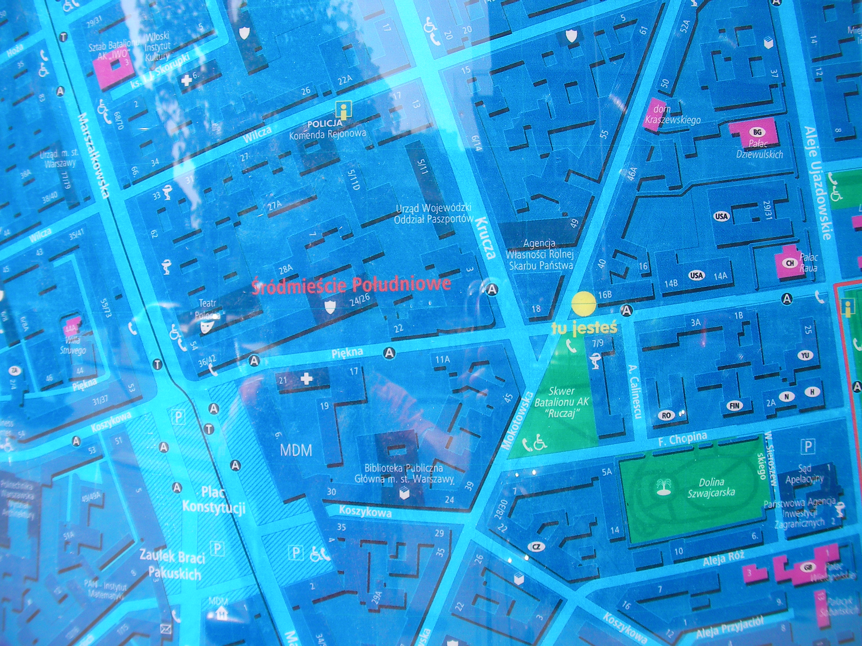
Piękna, Mokotowska
The opposite side of the road from "Batalion AK Ruczaj" square, currently some contruction works going on in that place prevent access to the map. Approximate location.
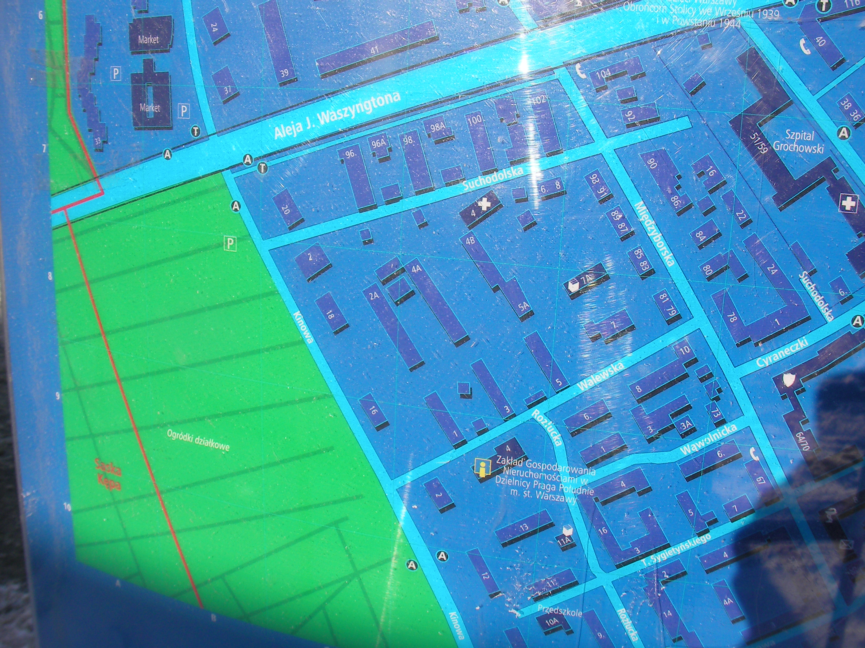
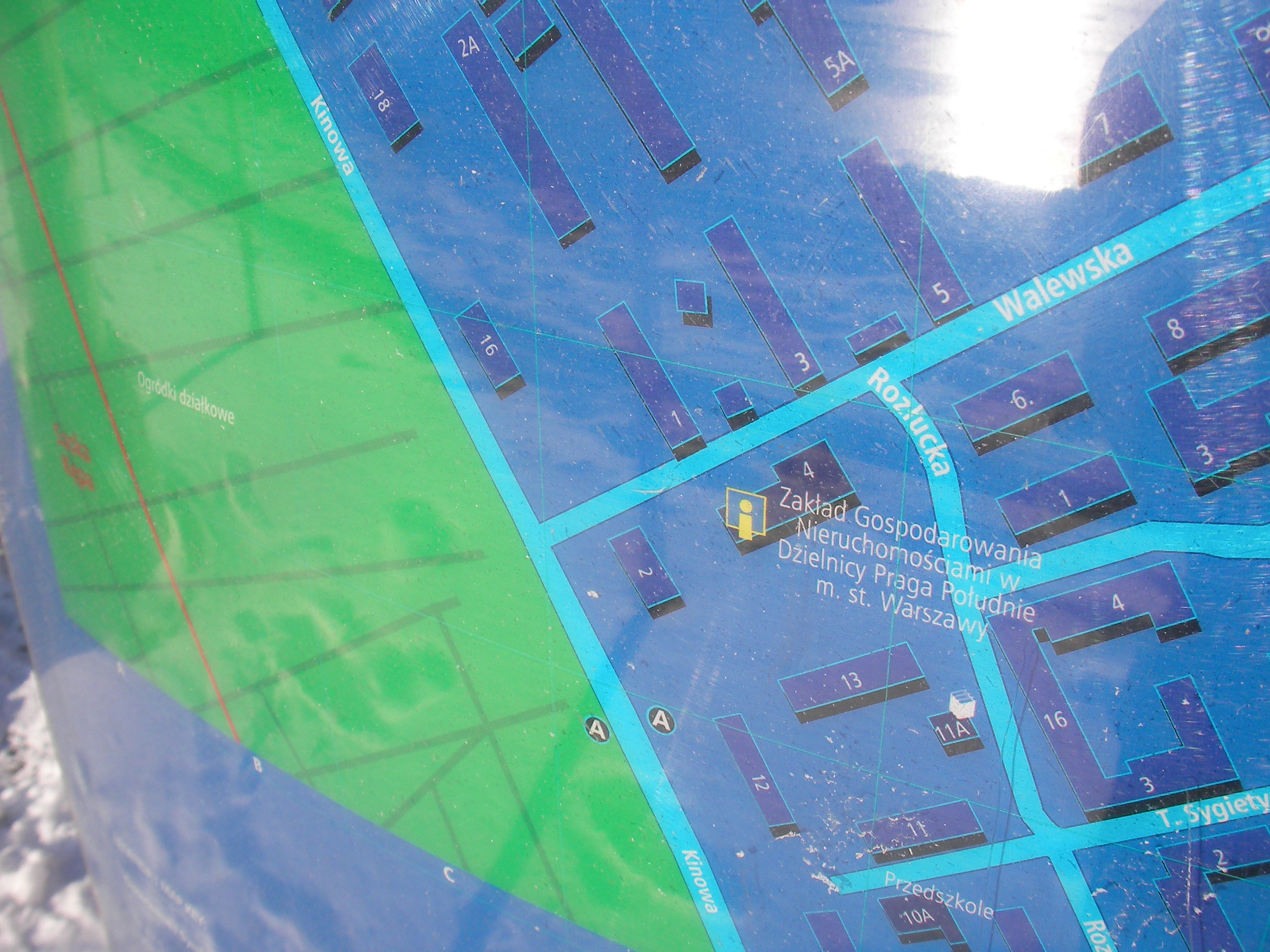
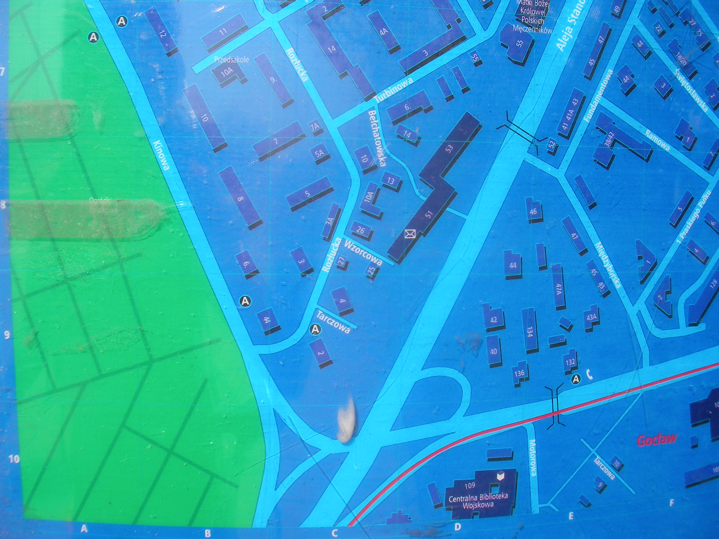
Walewska
Southern Grochów district, map placed at the wall of "Zakład Gospodarowania Dzielnicy" building at a rather unfriendly altitude (3m over ground). Approximate location.
- Poor pics due to poor access. Right, Left, Bottom-right.
Królewska
By the entrance to Królewska Centrum office building, crossing of Królewska and Marszałkowska streets. Approximate location.
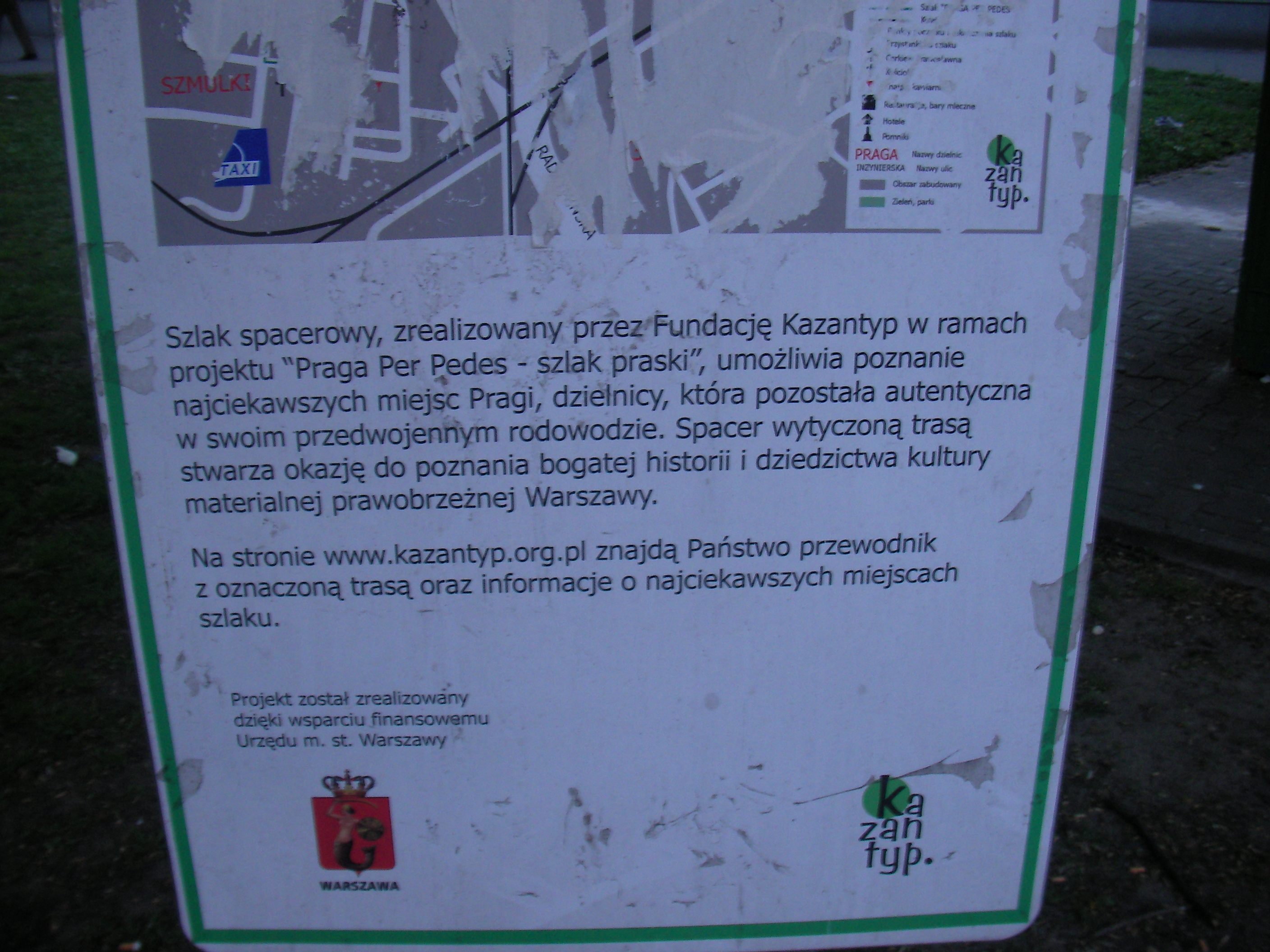
Warszawa Wileńska (footpaths)
Non-MSI map of walking paths in Praga Północ, less details and similar area covered as [WikiProject Poland/Warsaw/Datasources#Warszawa_Wile.C5.84ska]. Operated by Fundacja Kazantyp (NGO). Approximate location.
Warszawa Wileńska (south)
Near a bus stop on south from the Targowa & Aleja Solidarności crossing. Poor visibility, covered in stickers or something. Approximate location.
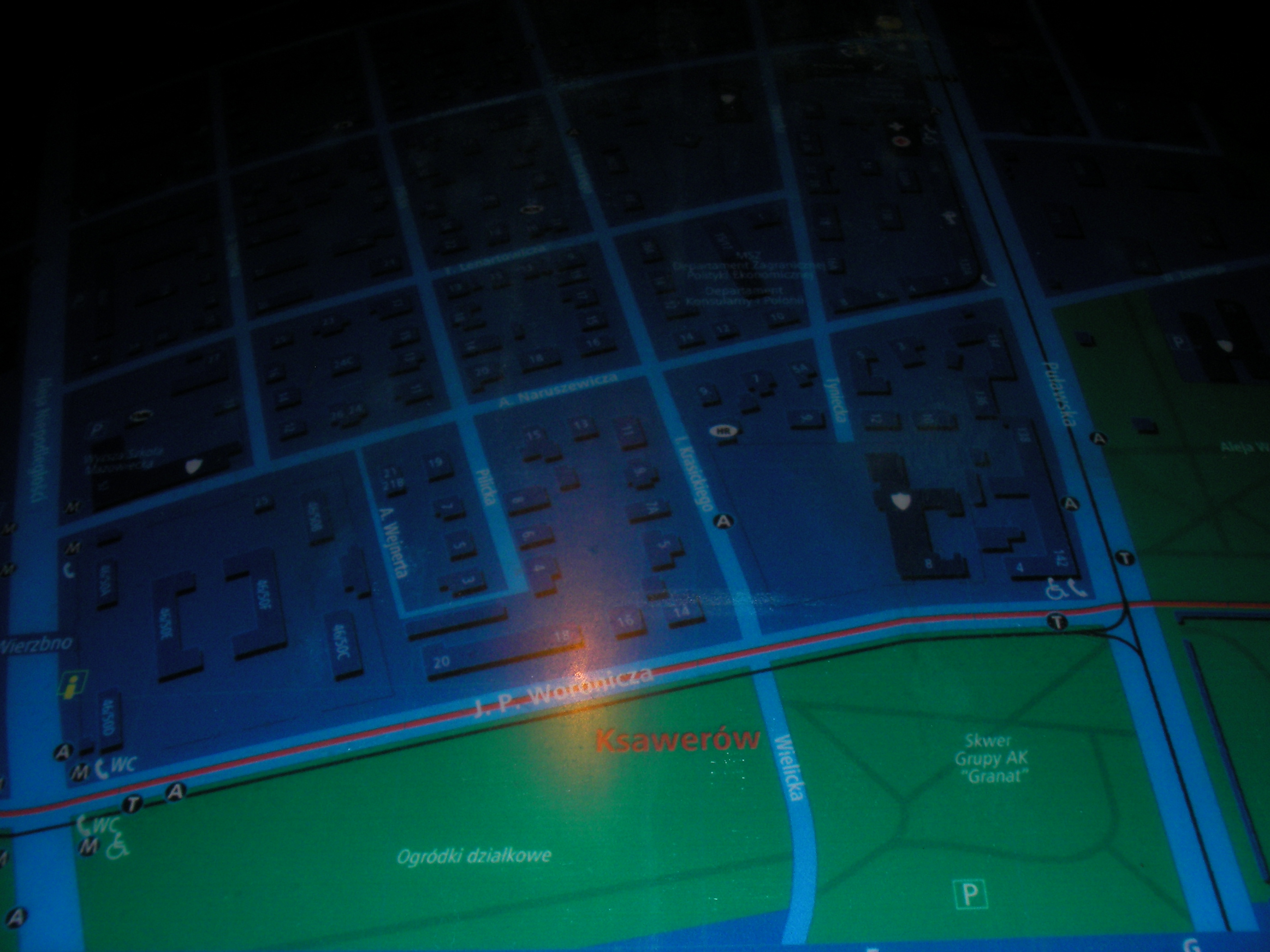
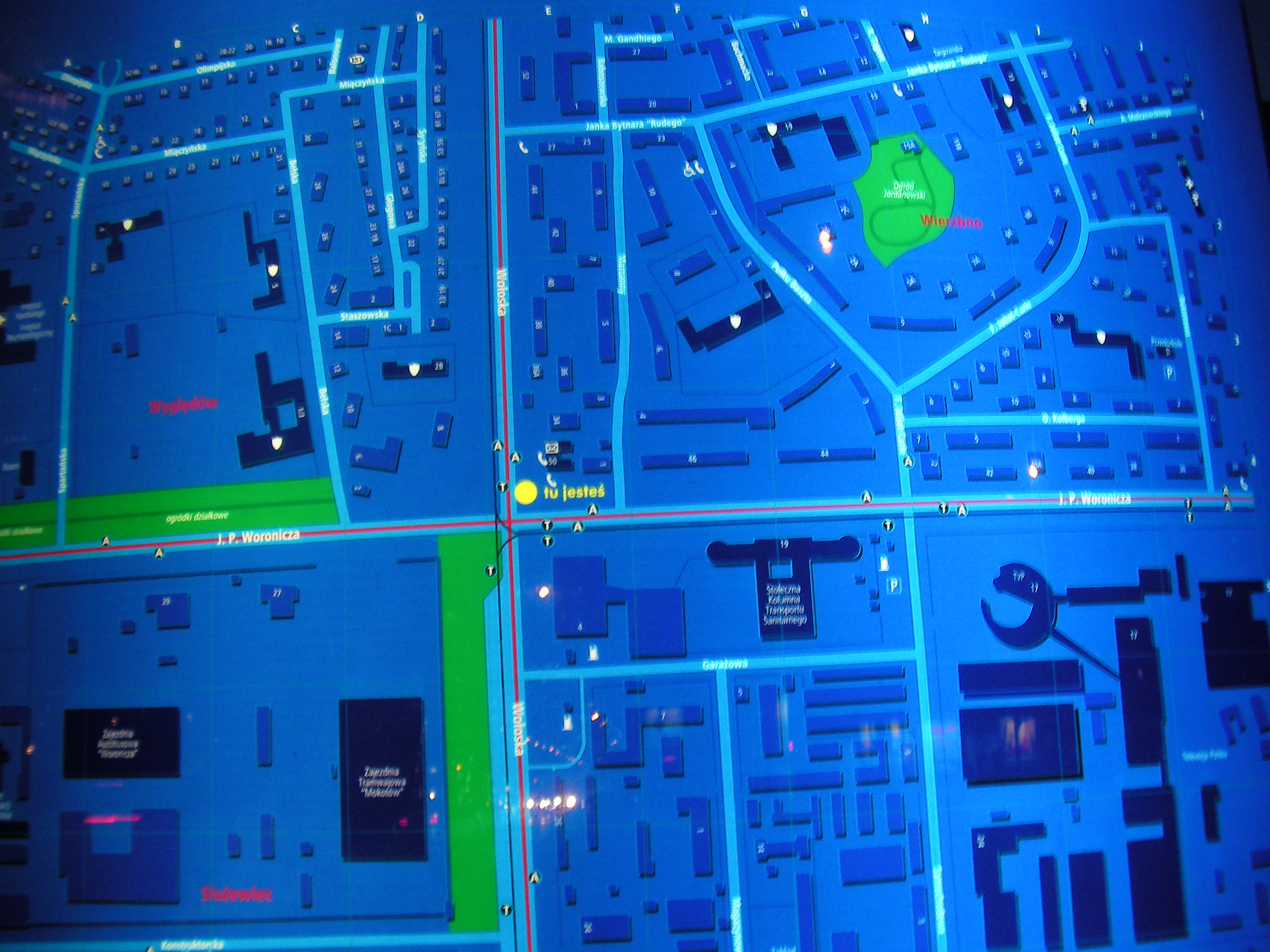
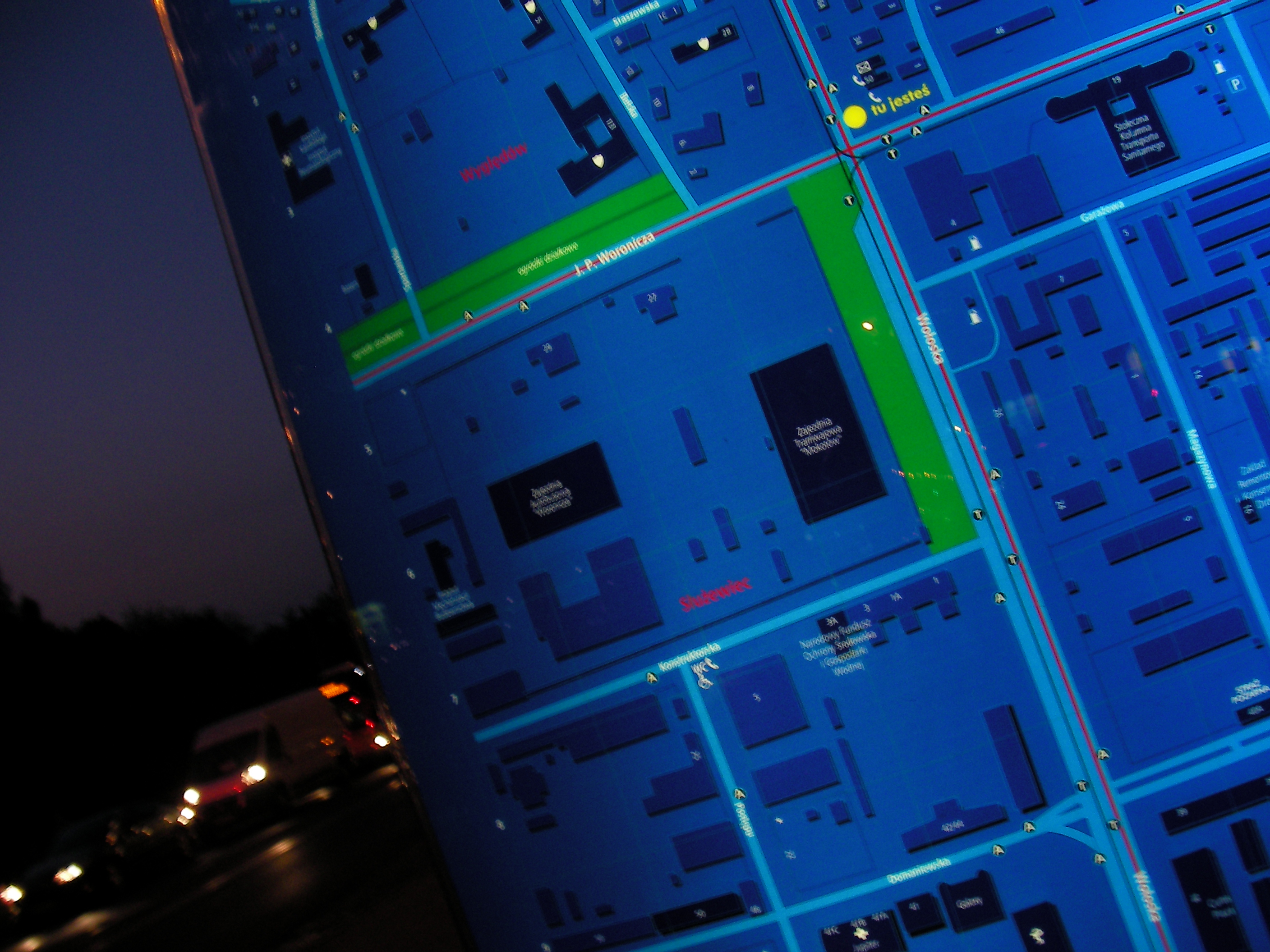
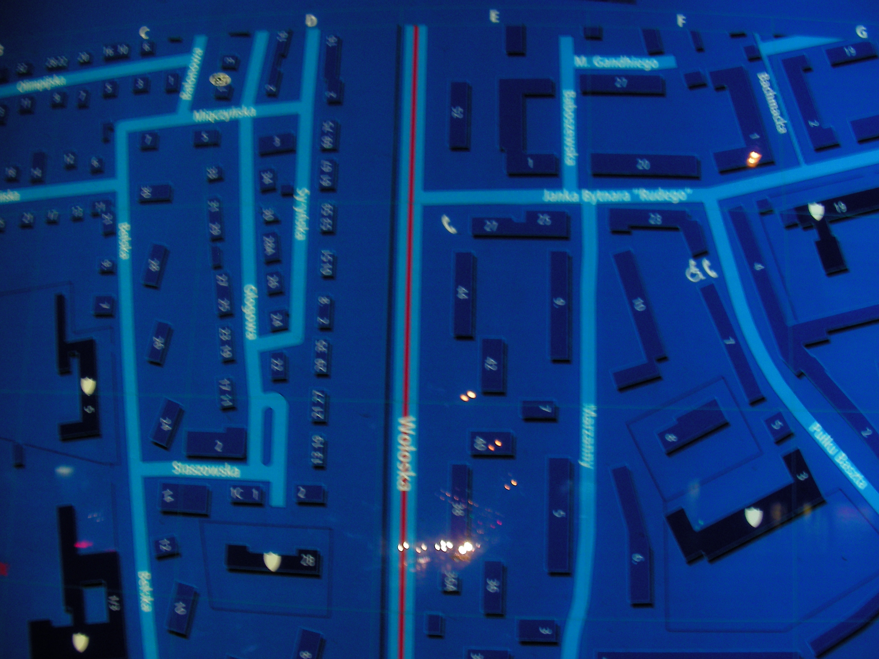
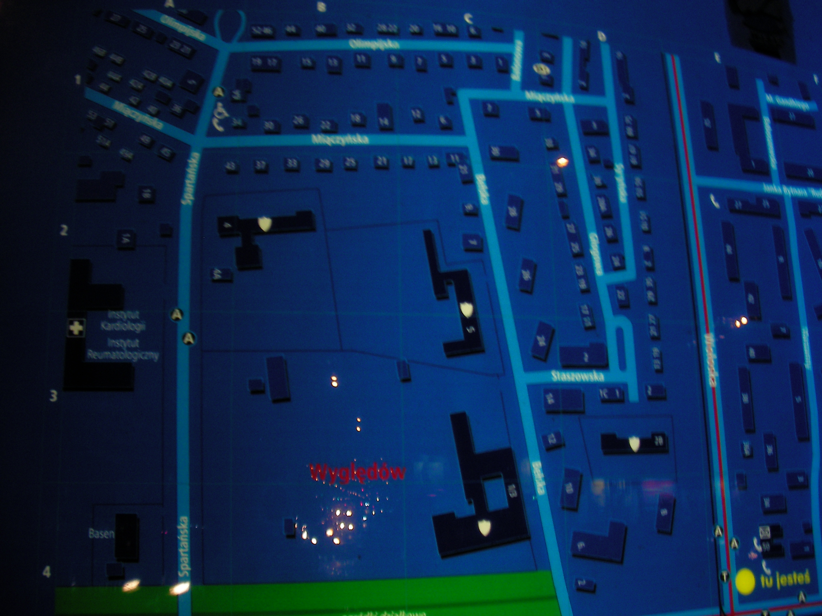
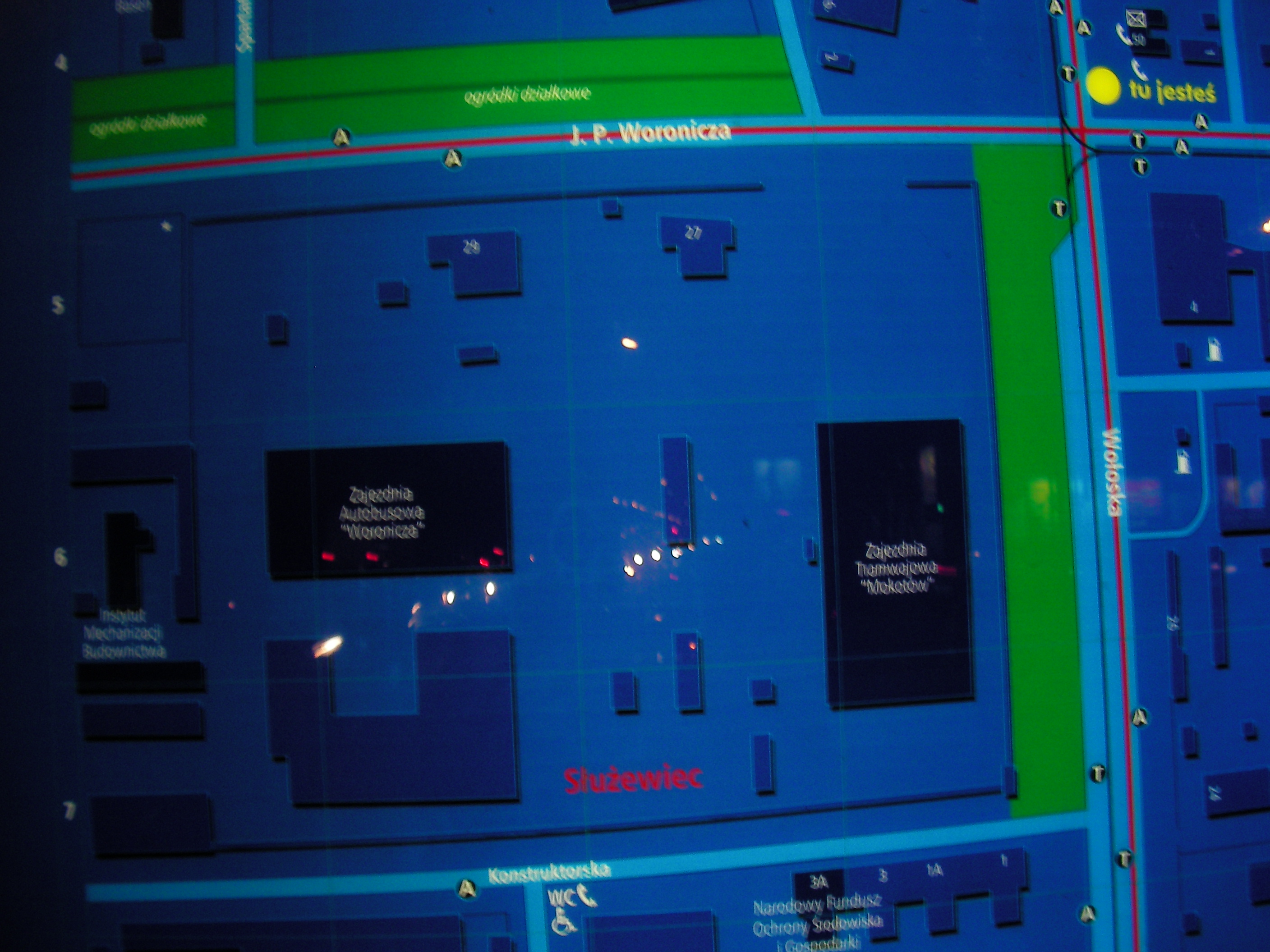
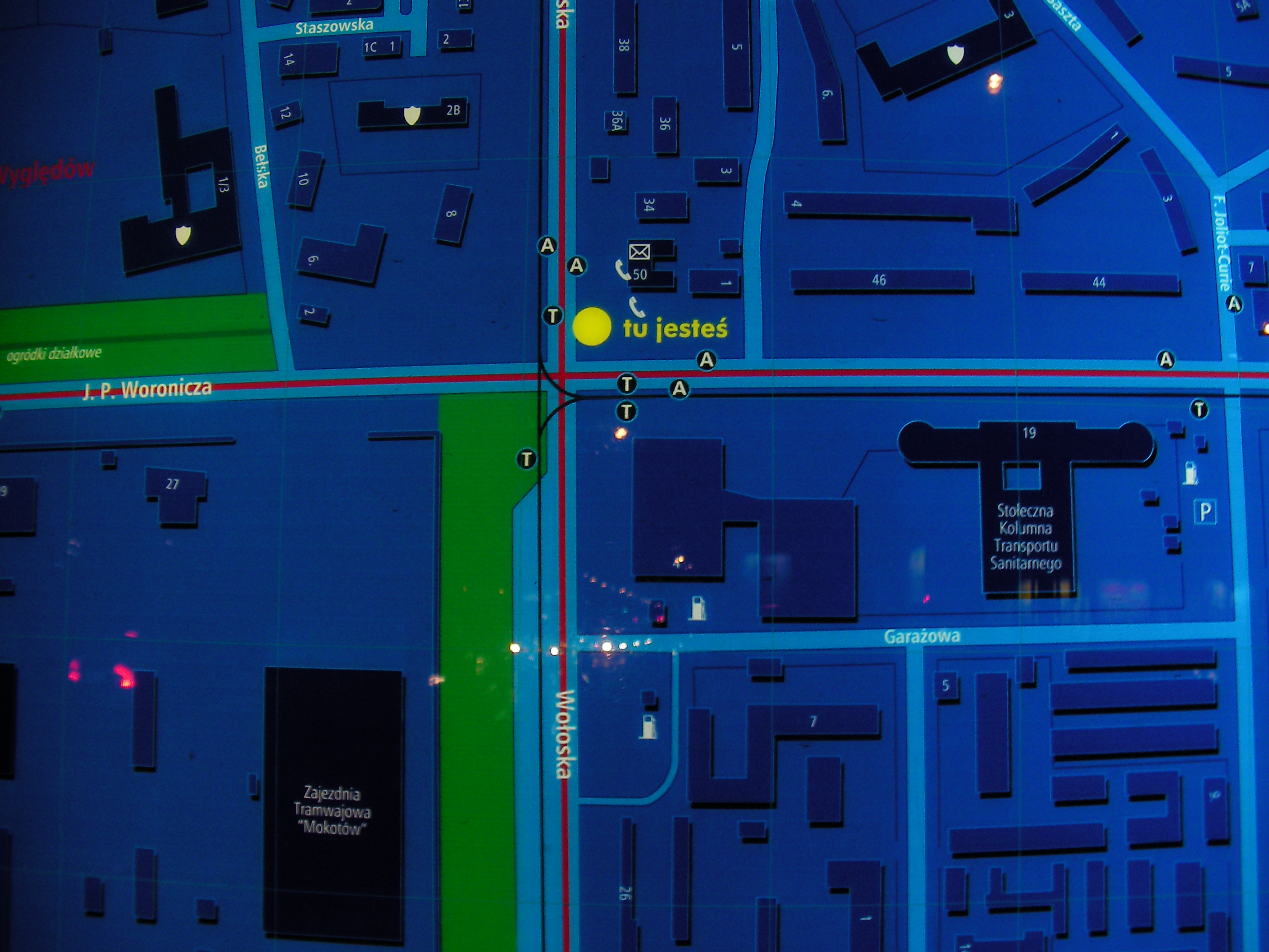
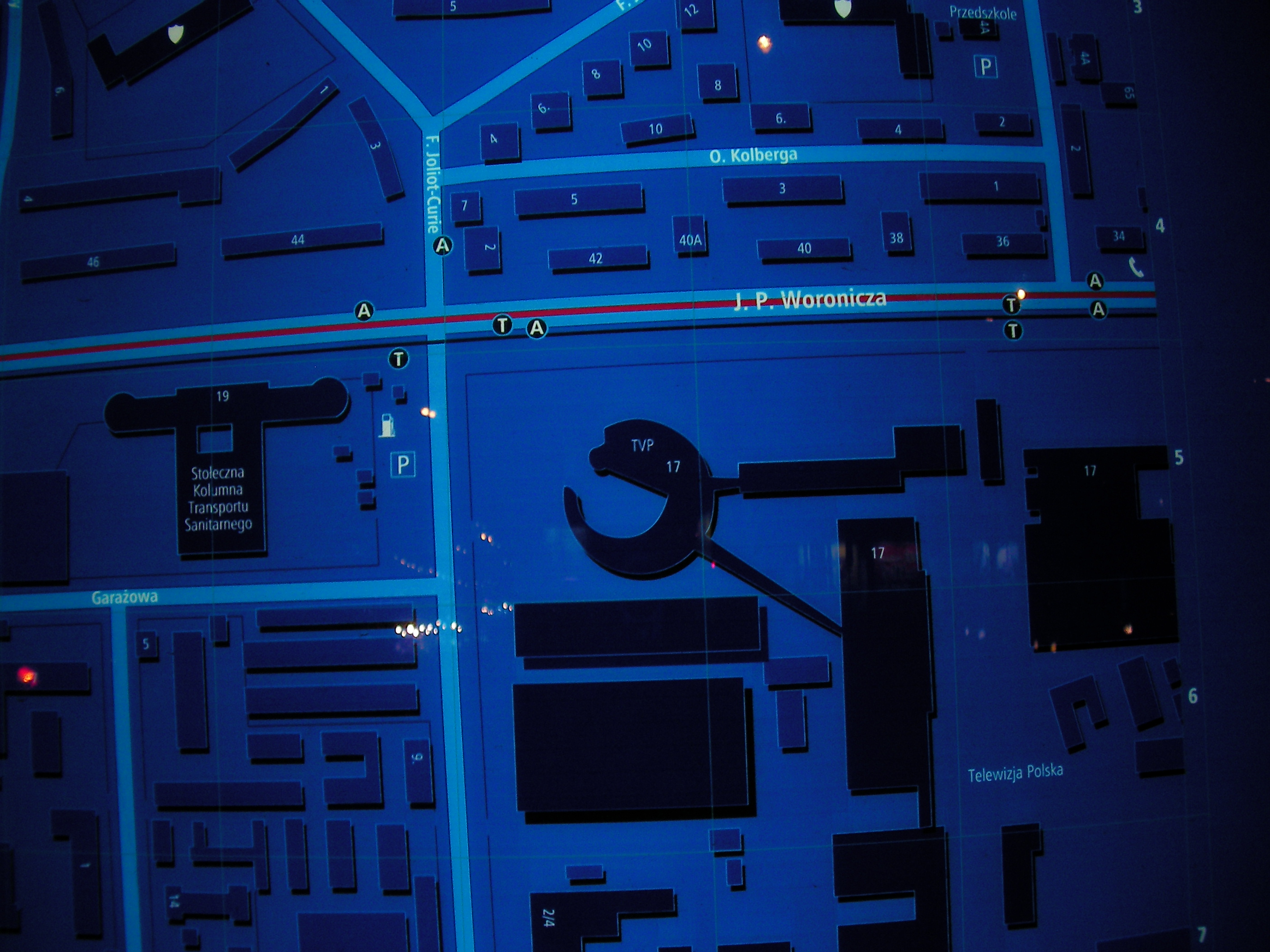
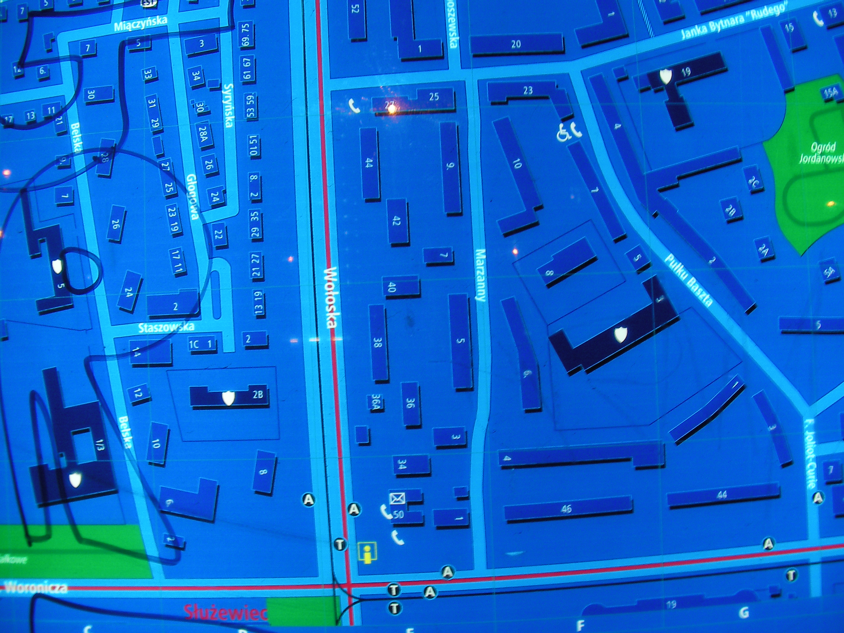
Woronicza
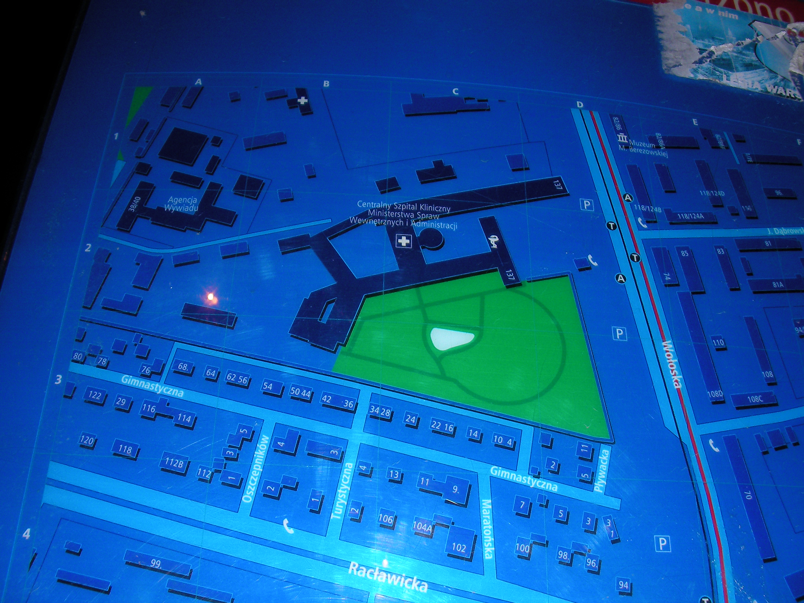
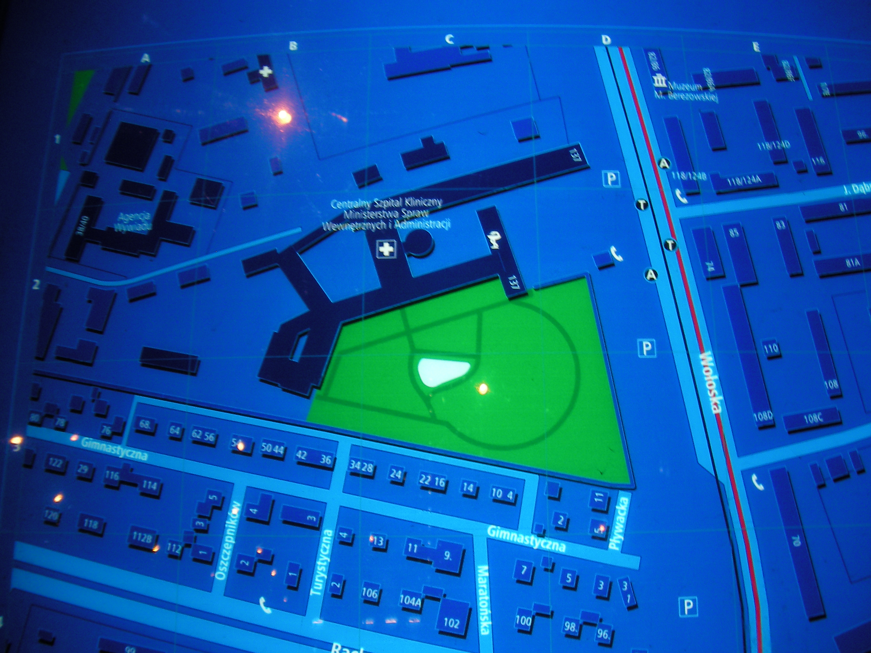
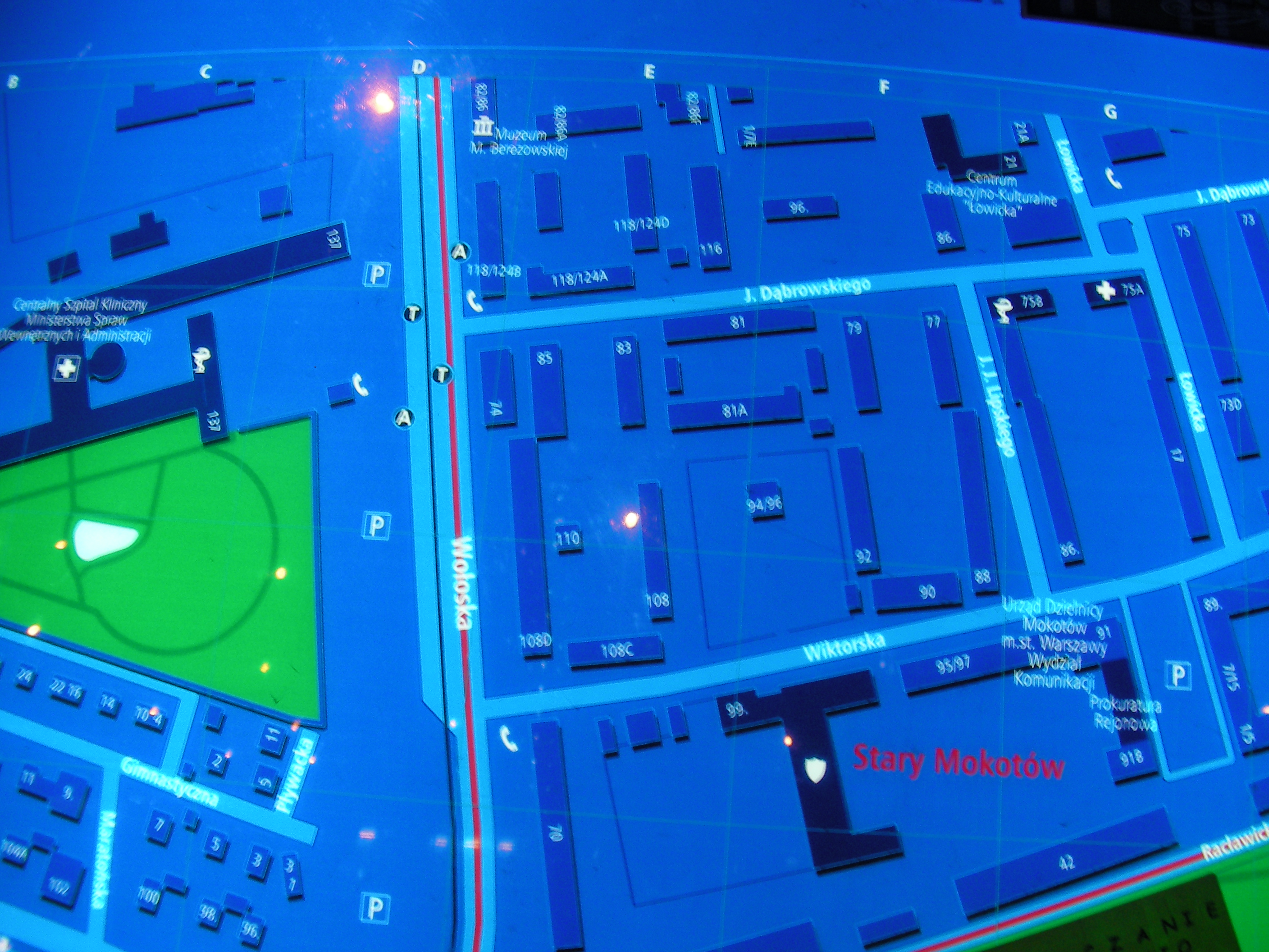
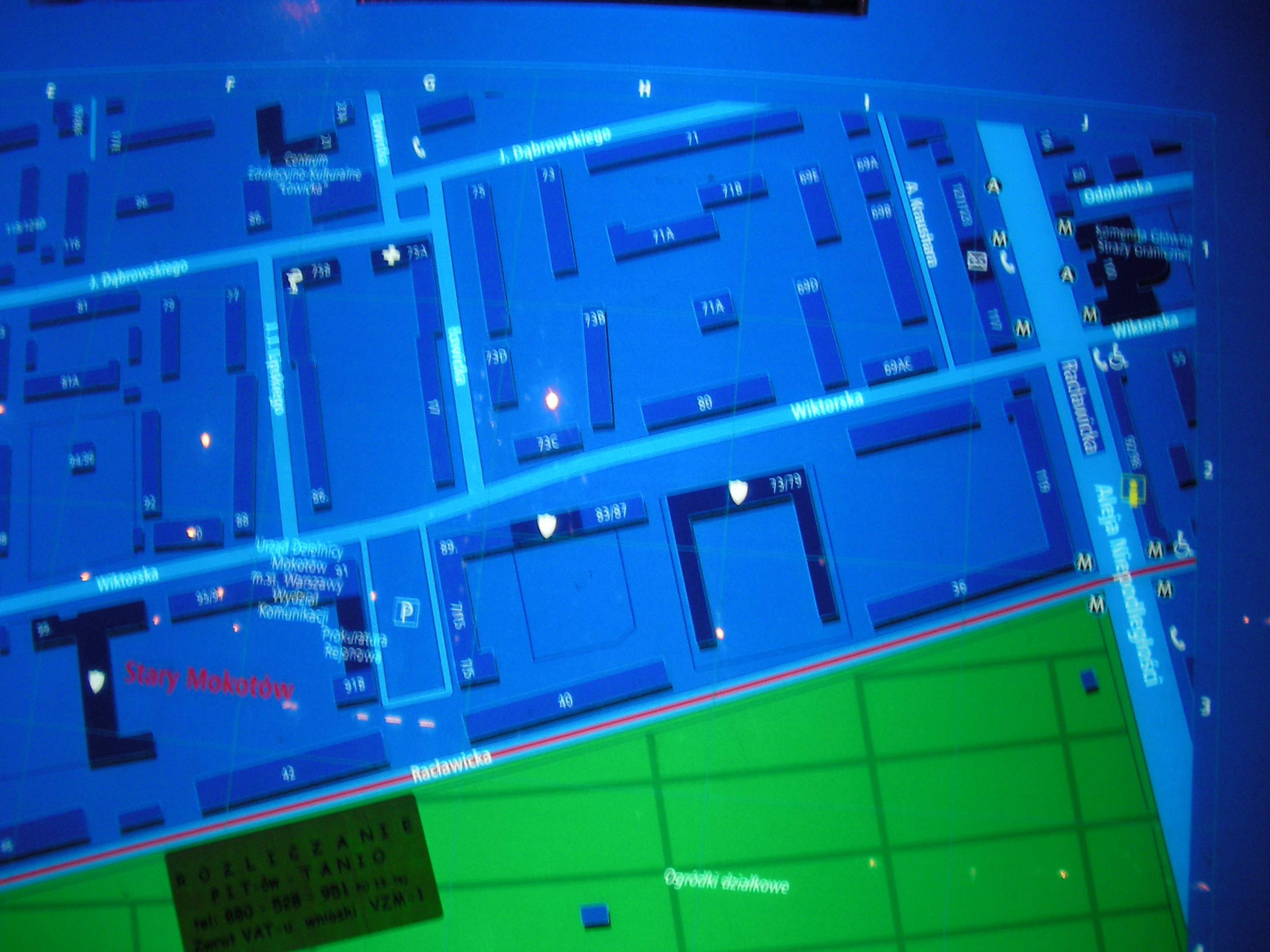
Crossing of Woronicza & Wołoska streets, on the other side of the crossing from the tramway depot. Approximate location.
- Top half, Left, Top-right, Top, Top-left, Left, Middle, Right, Bottom-right, Bottom, Bottom-left, Top, Bottom-right, Bottom-left, Left.
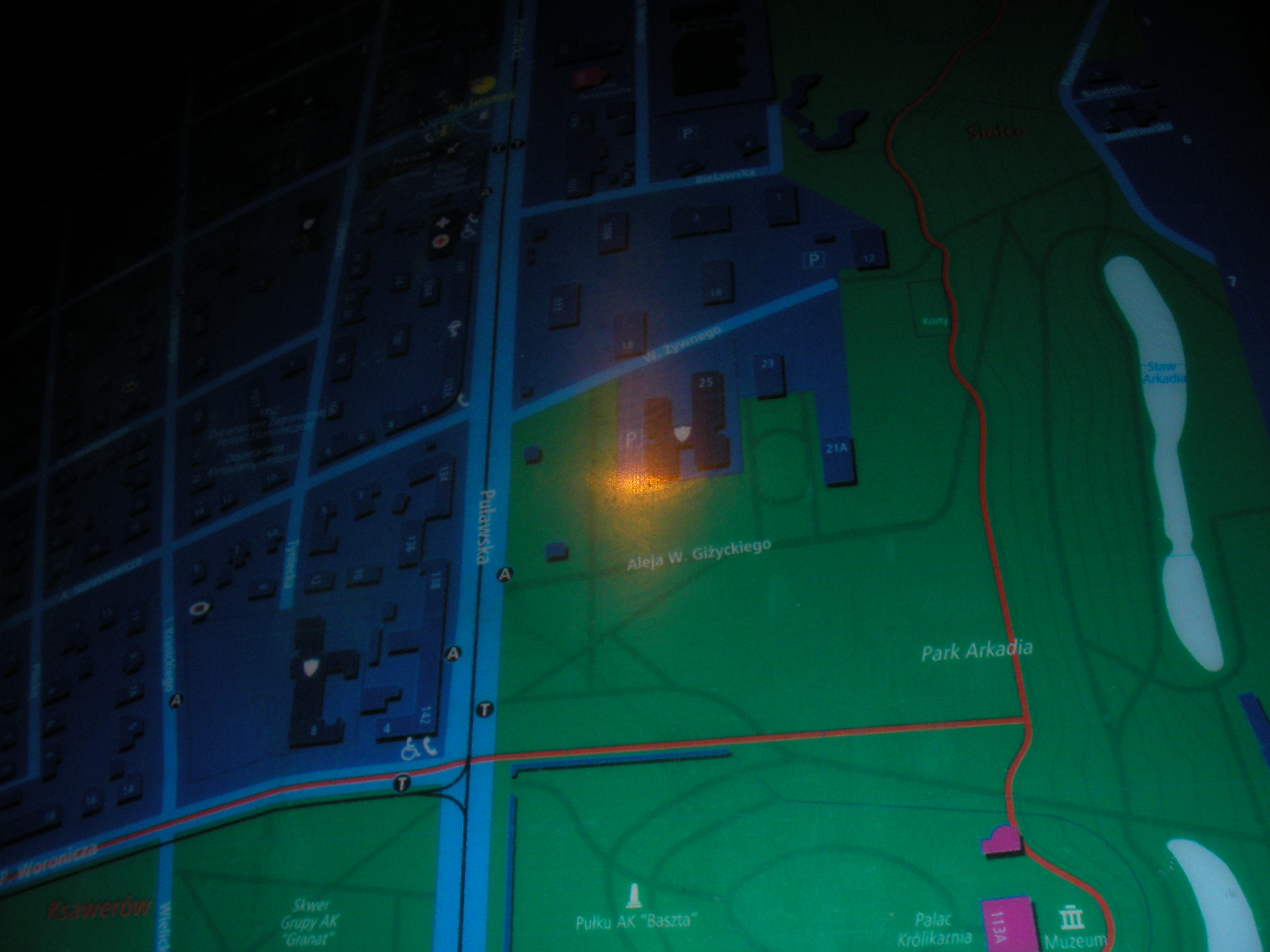
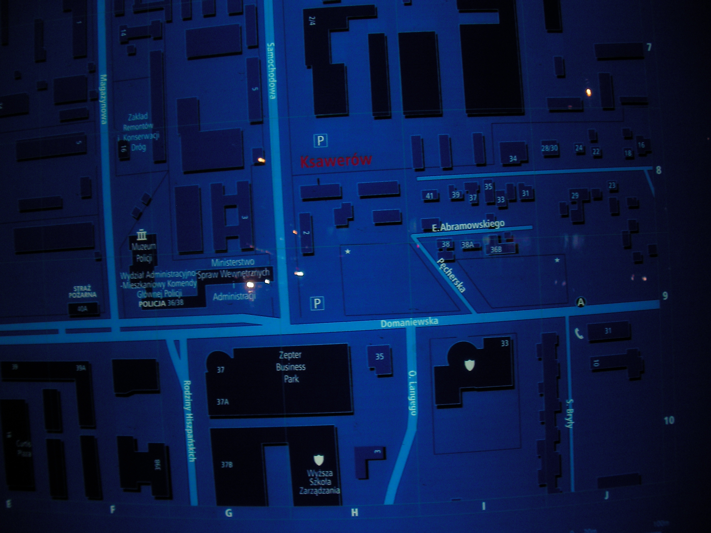
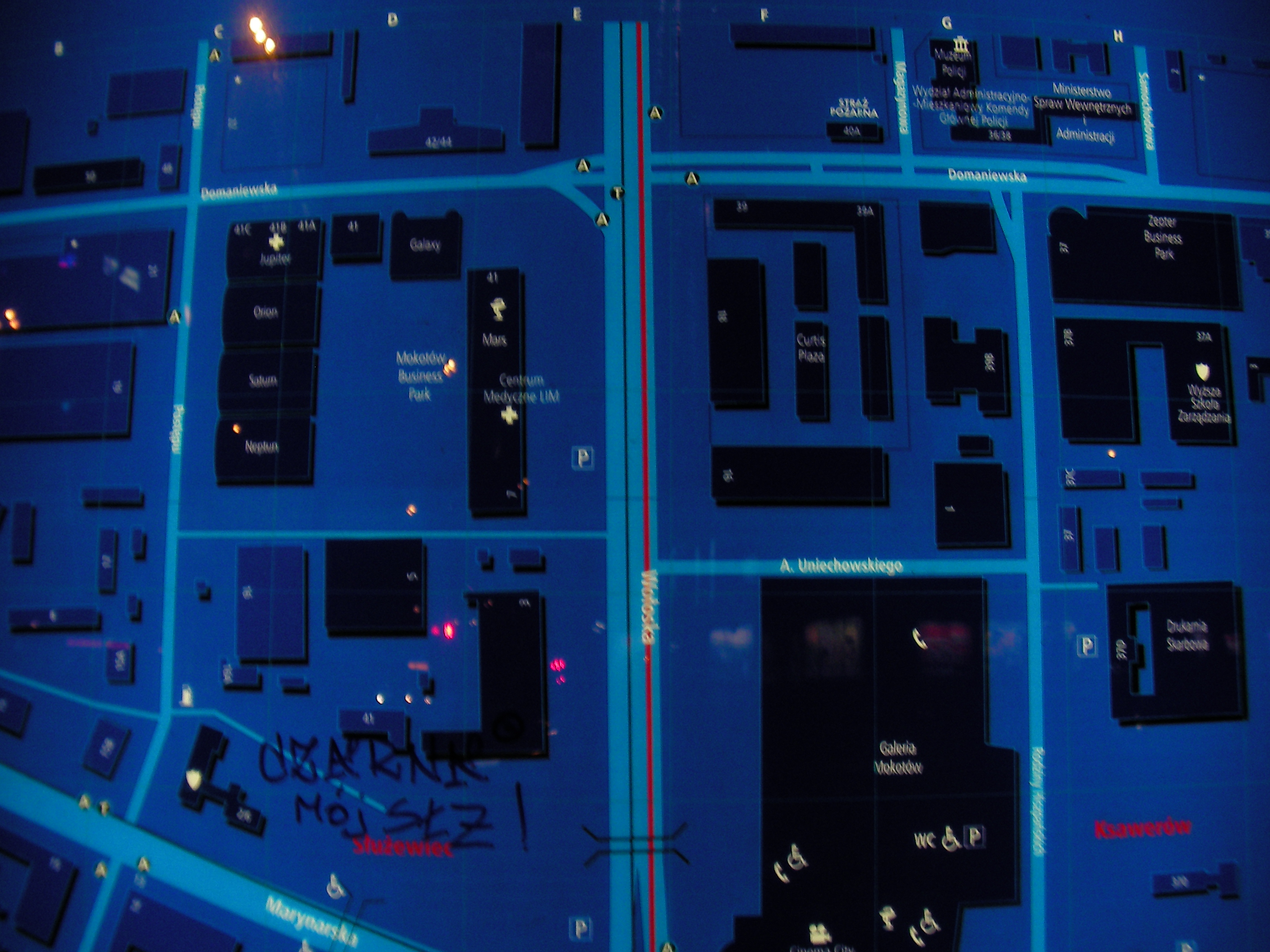
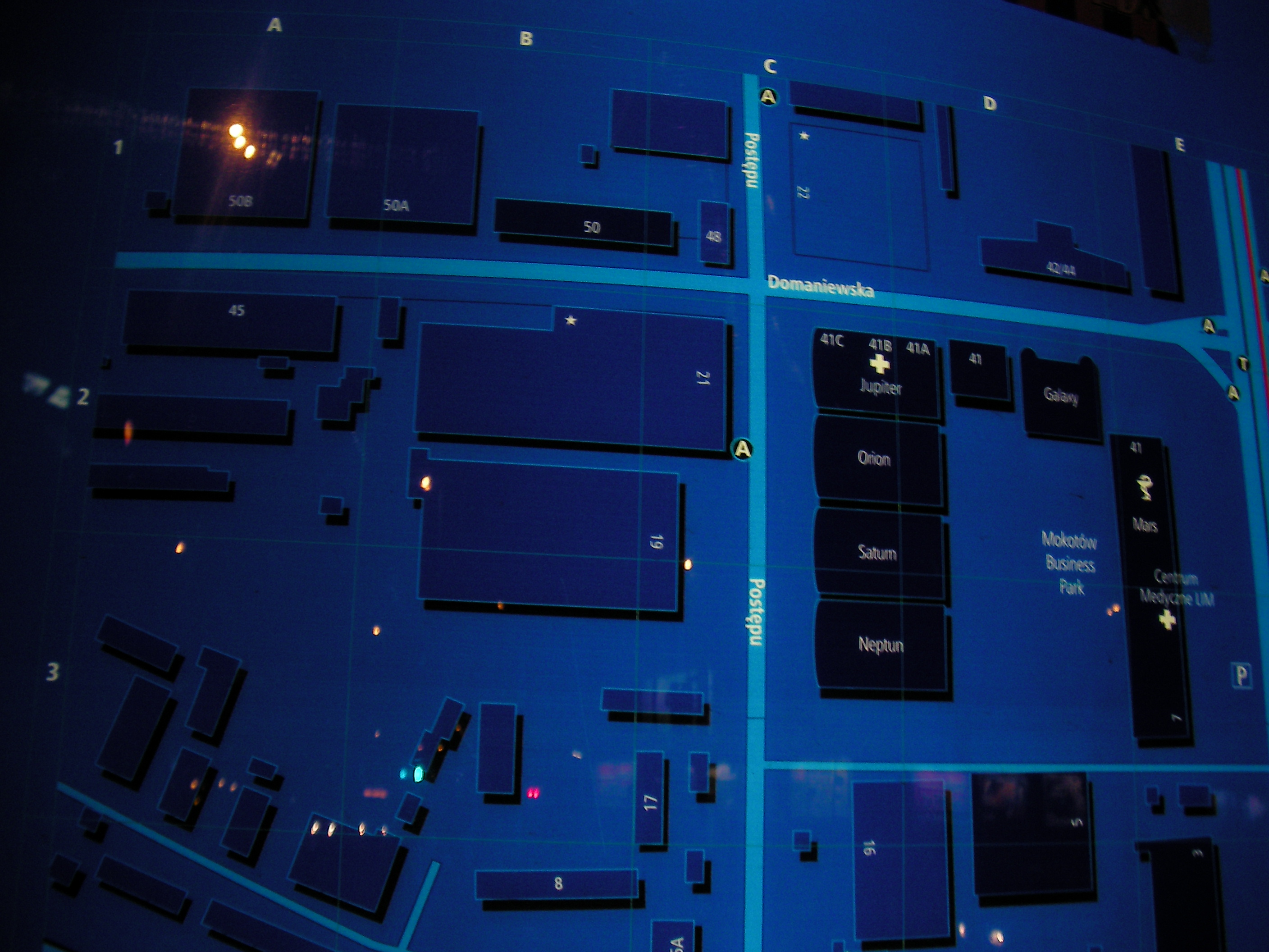
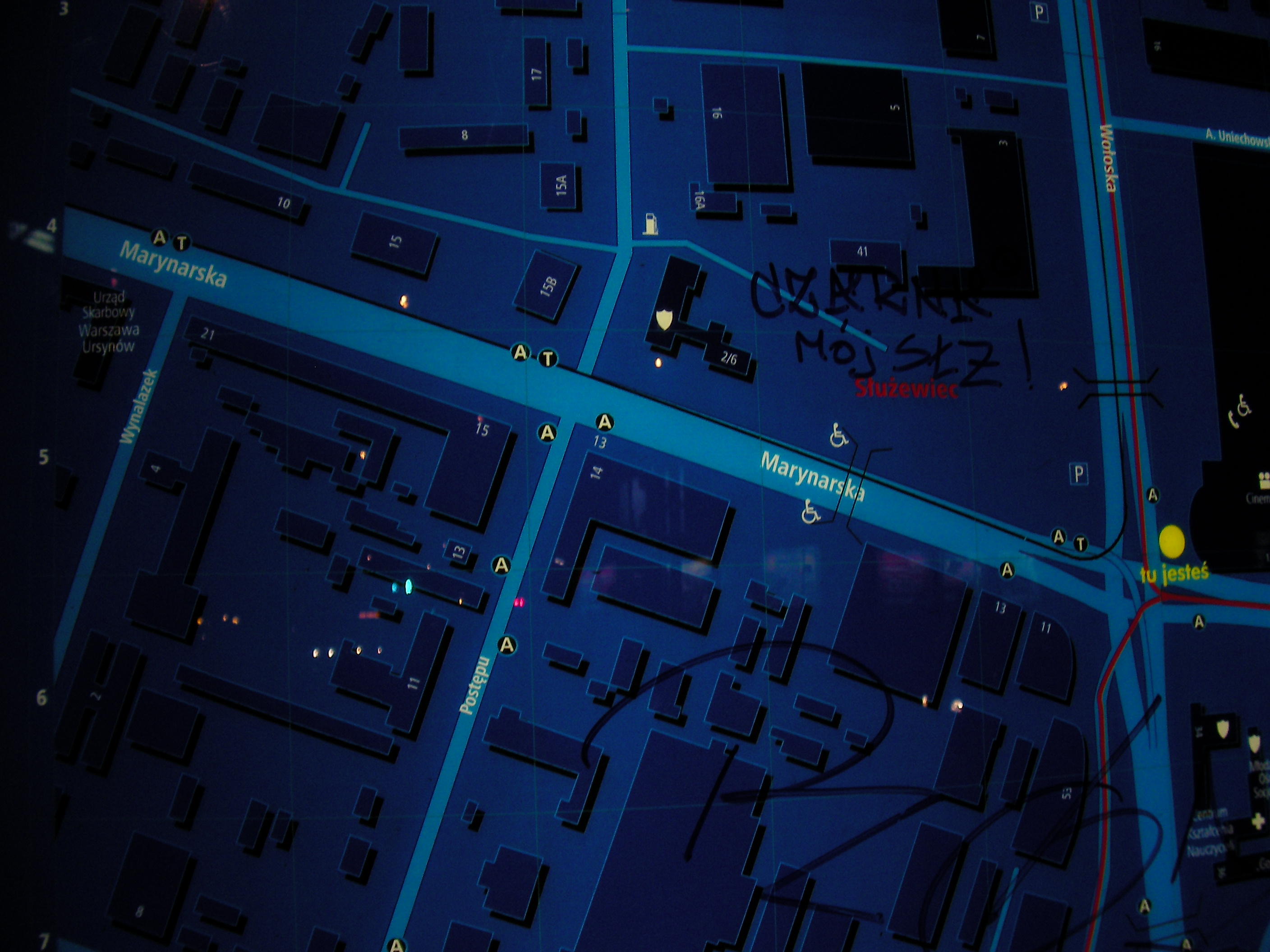
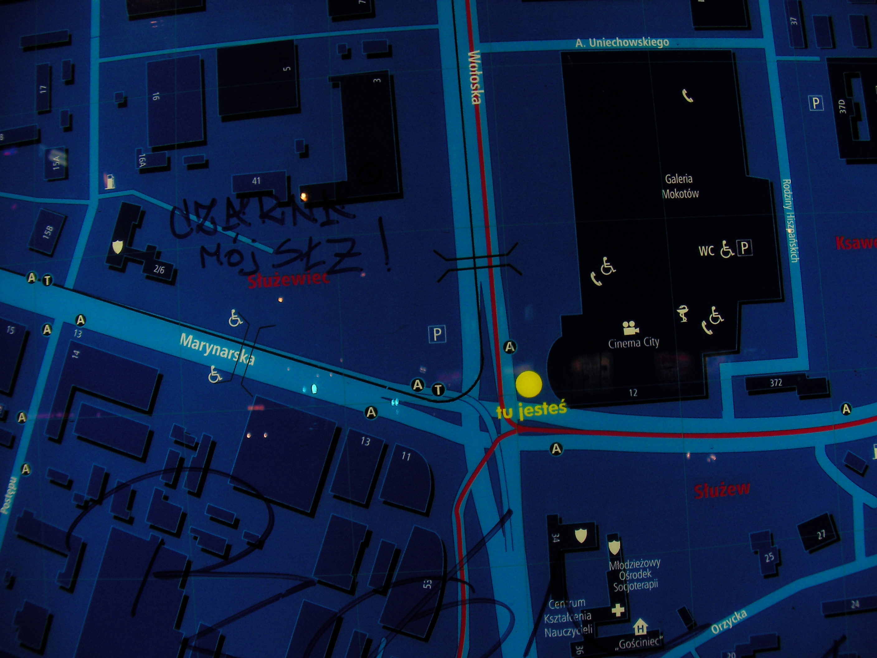
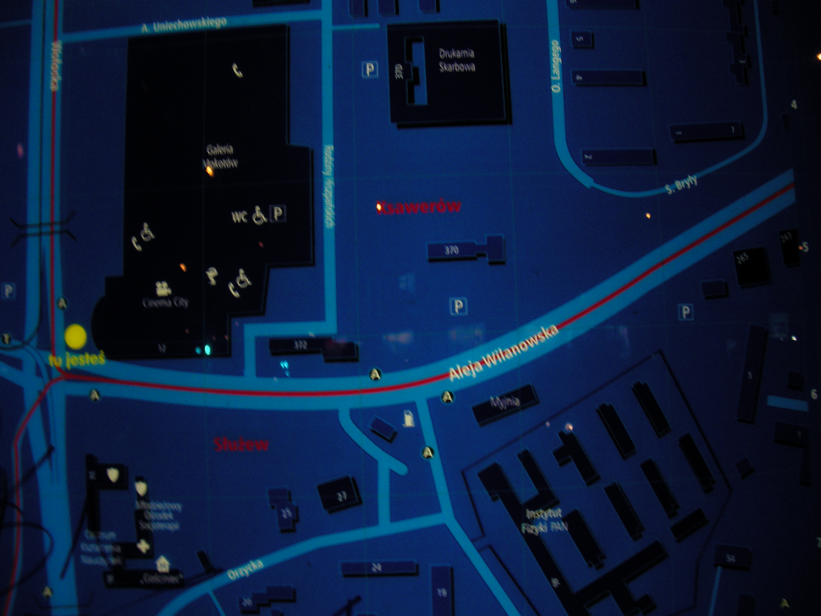
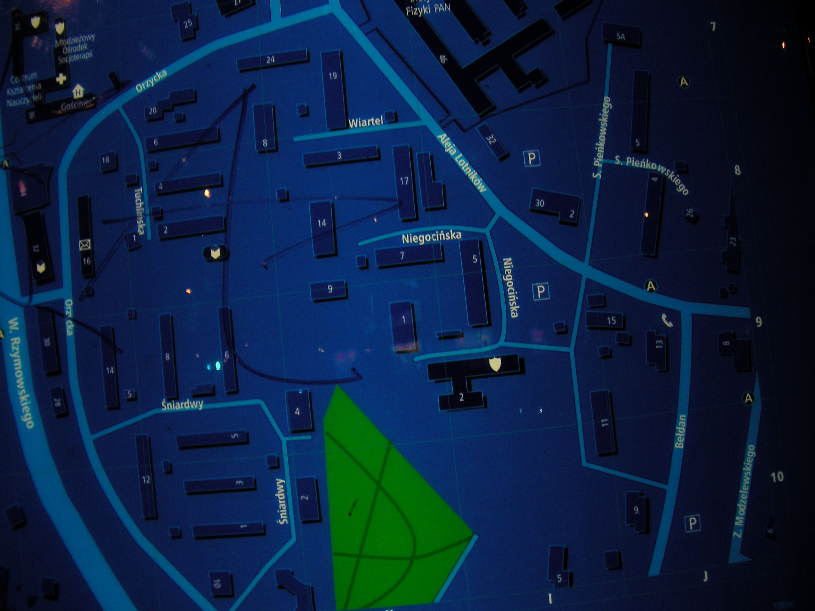
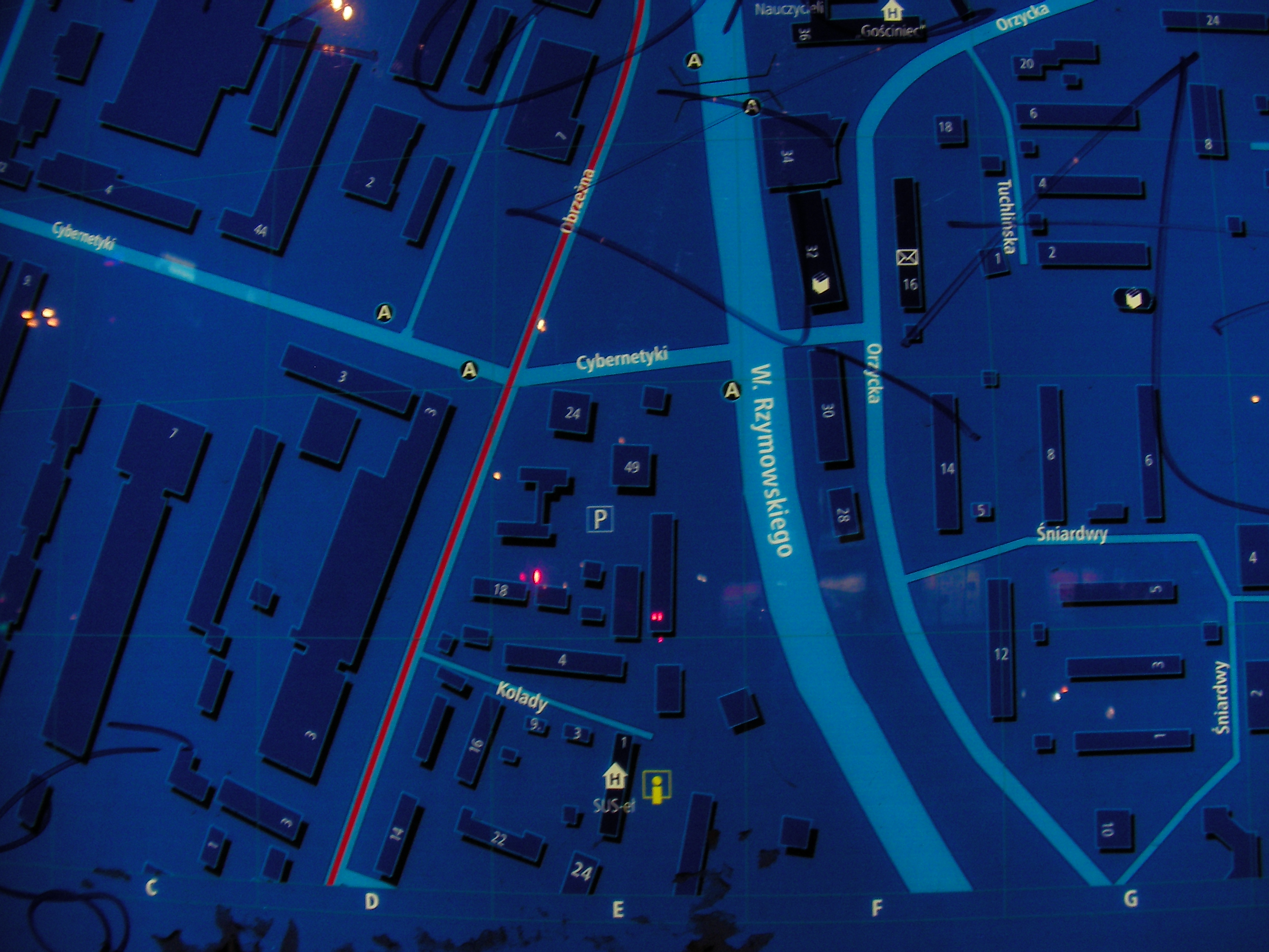
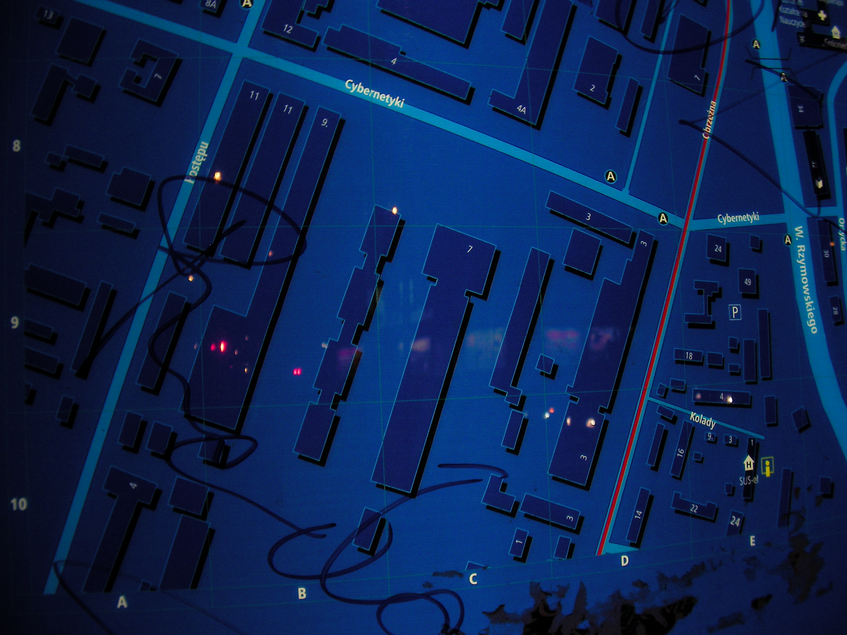
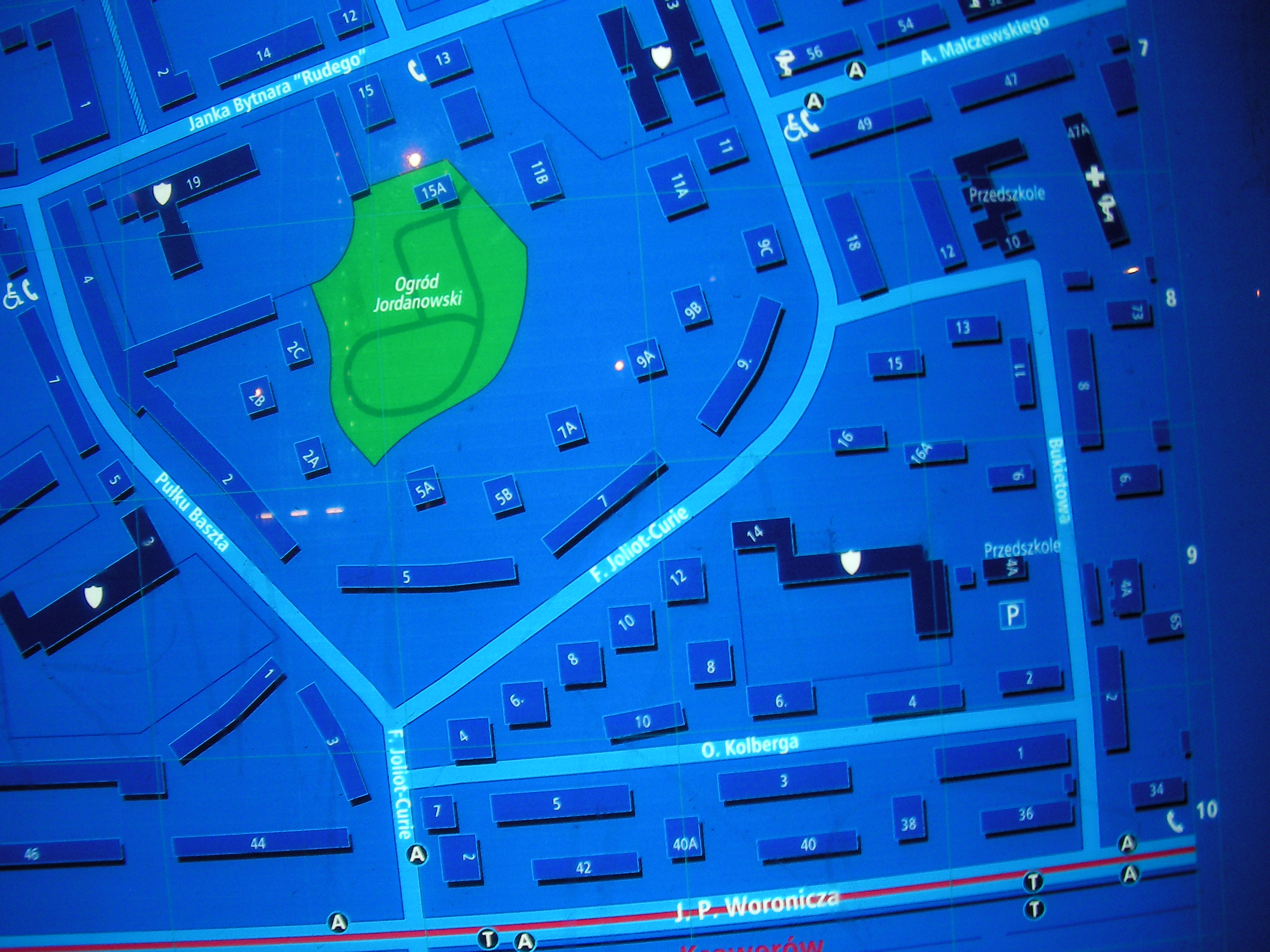
Galeria Mokotów
Close to the mall and the crossing of Wołoska / Rzymowskiego - Marynarska / Aleja Lotników. Approximate location.
- Bottom-half, Top, Top-right, Top-left, Left, Middle, Right, Bottom-right, Bottom, Bottom-left, Bottom, Left, Right, Top, Top-left, Top-right.
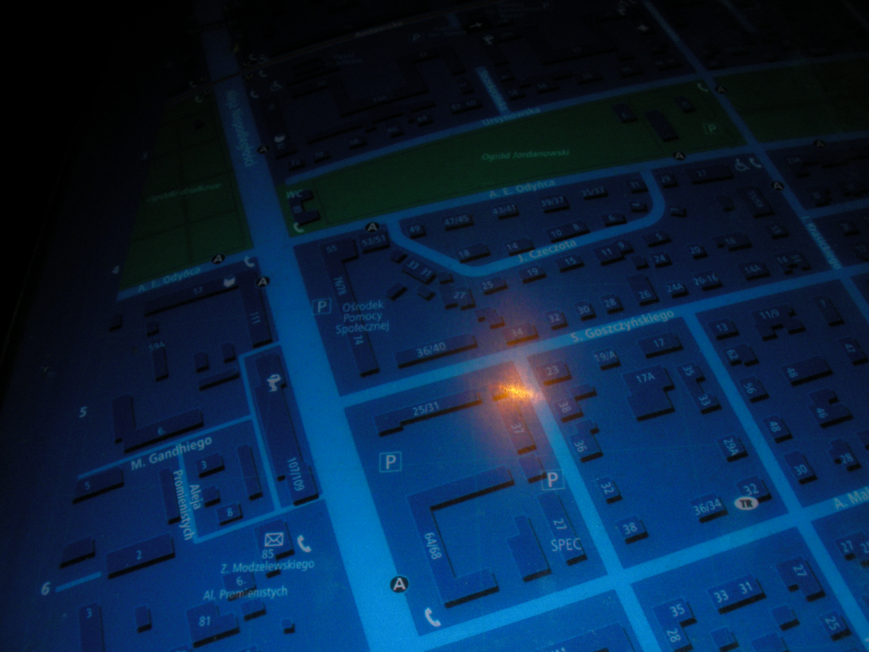
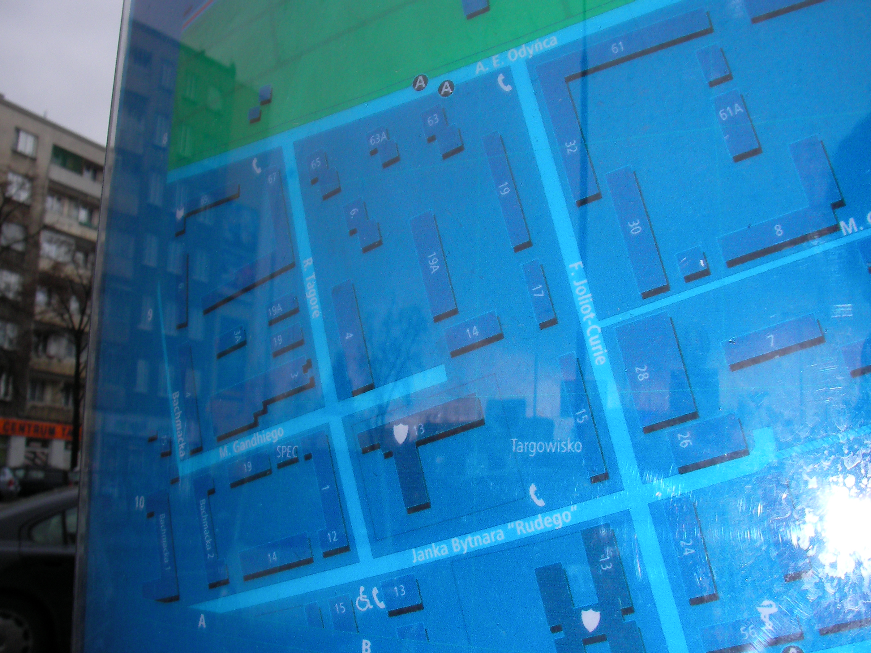
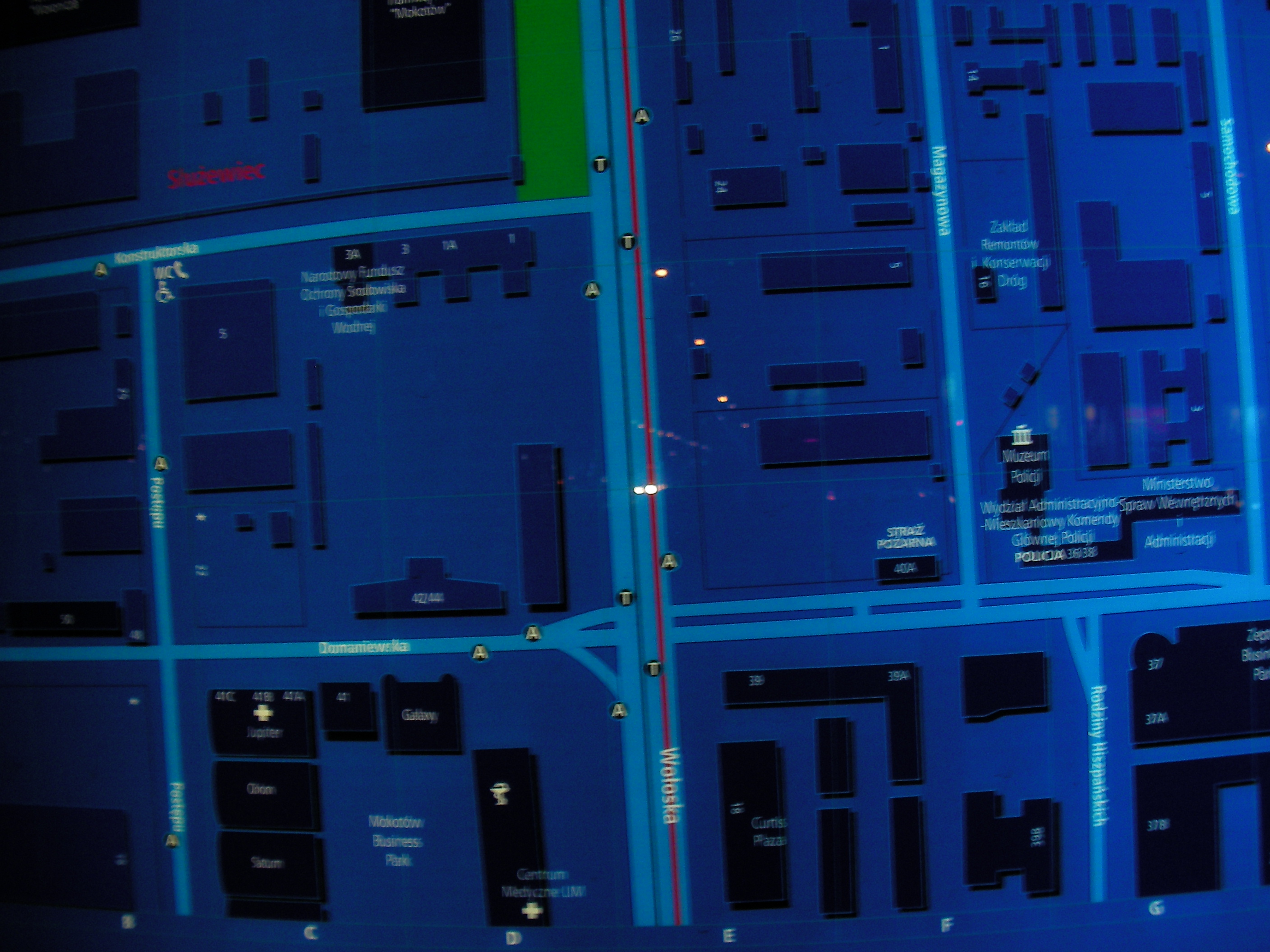
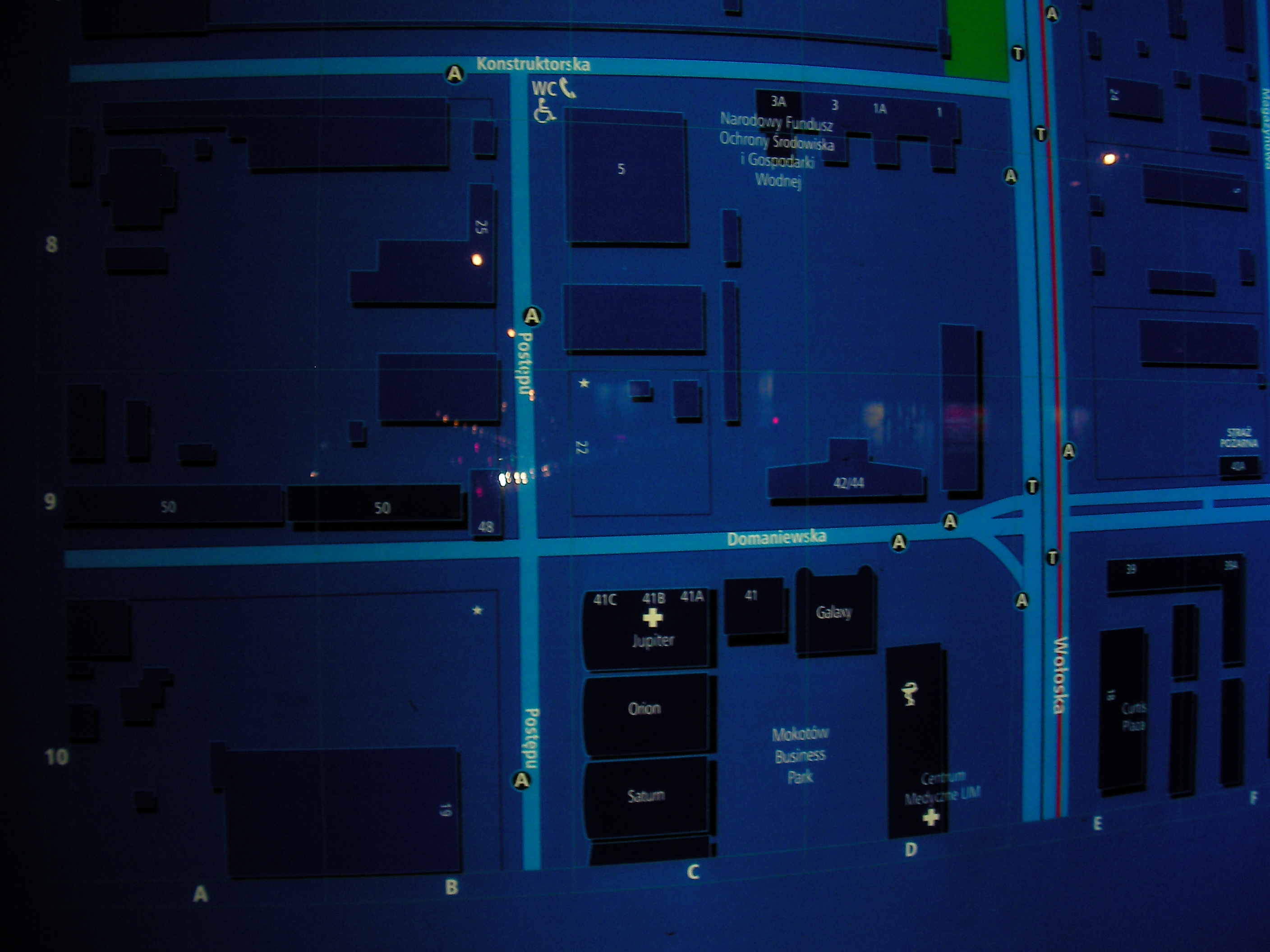
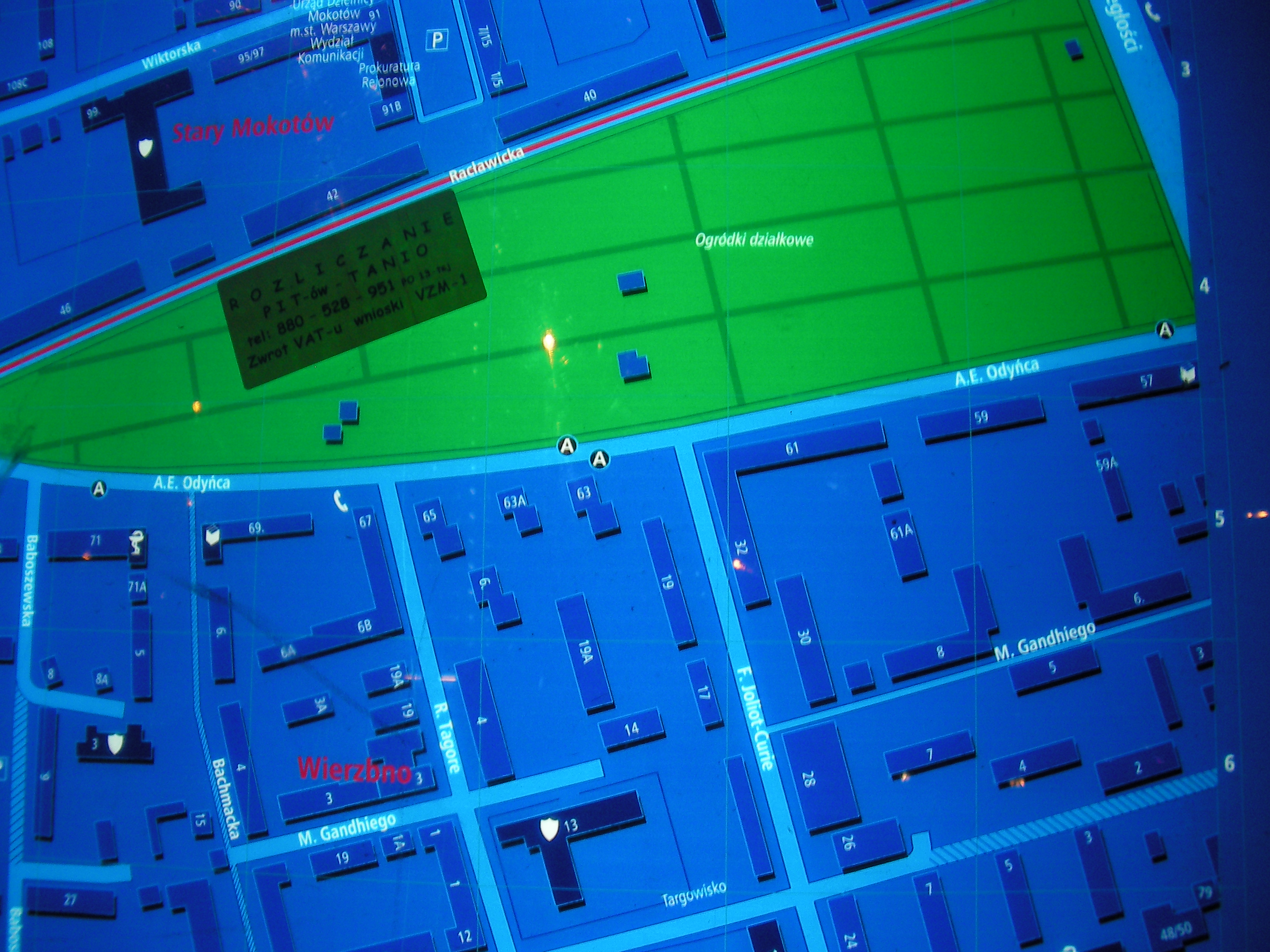
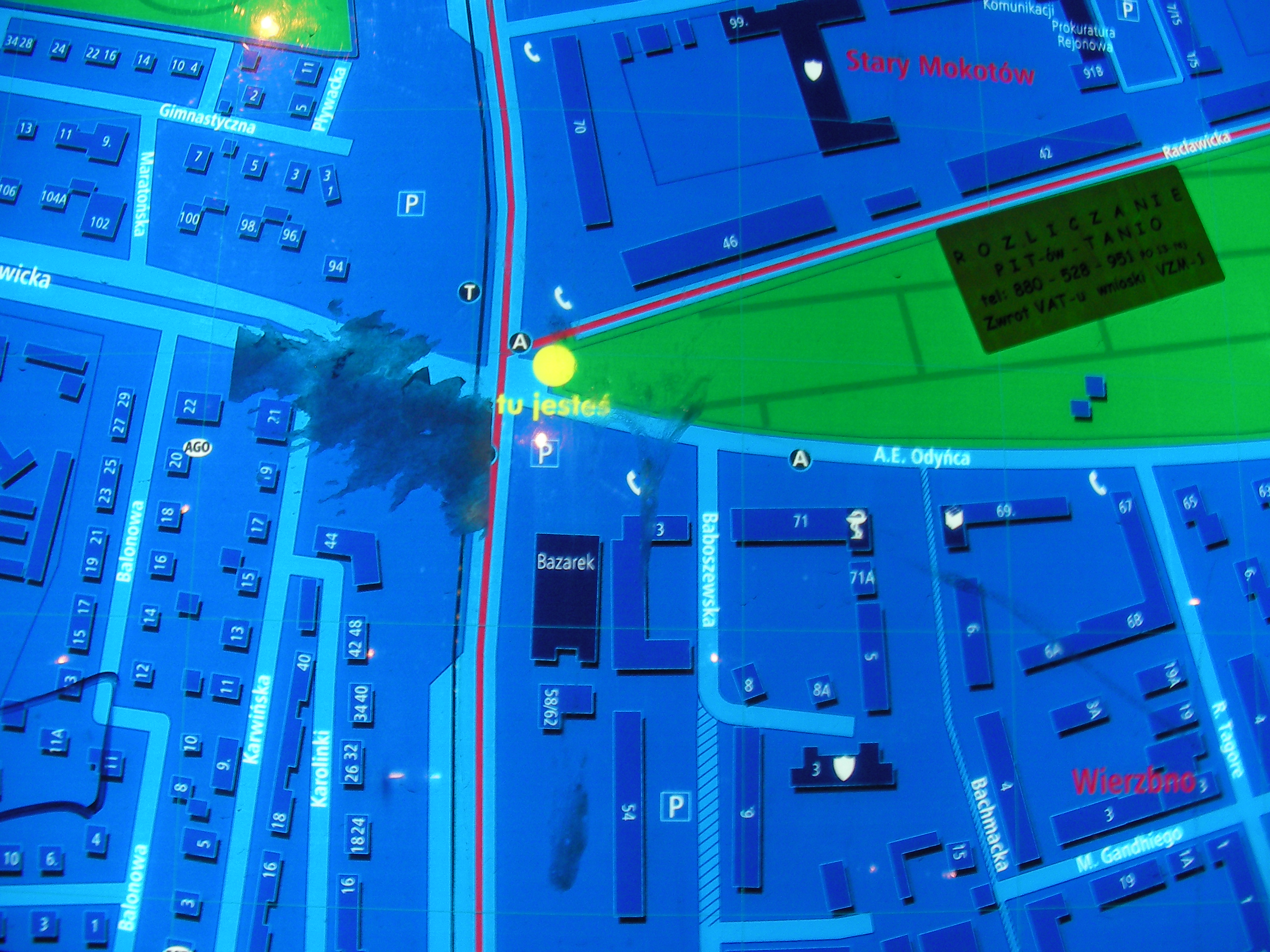
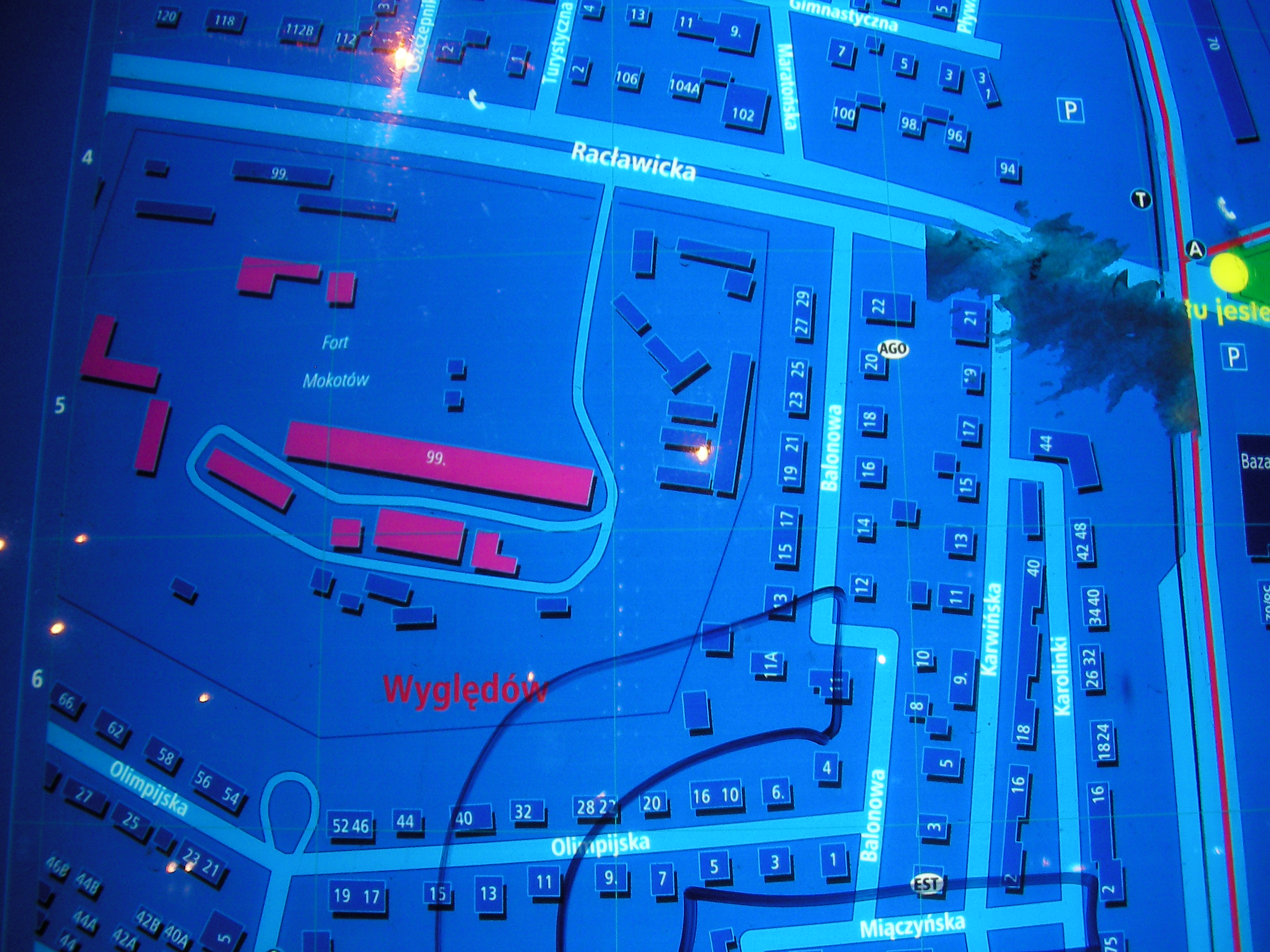
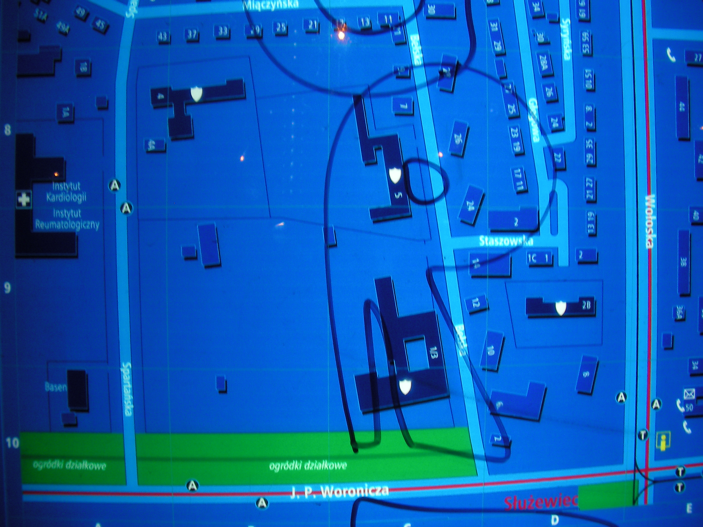
Racławicka (Wołoska)
Crossing of Wołoska and Racławicka / Odyńca streets. Approximate location.
- Middle-left, Bottom-left, Bottom-right, Right, Top-right, Top-left, Top, Top-left, Top, Top-right, Right, Middle, Left, Bottom-left, Bottom, Bottom-right.
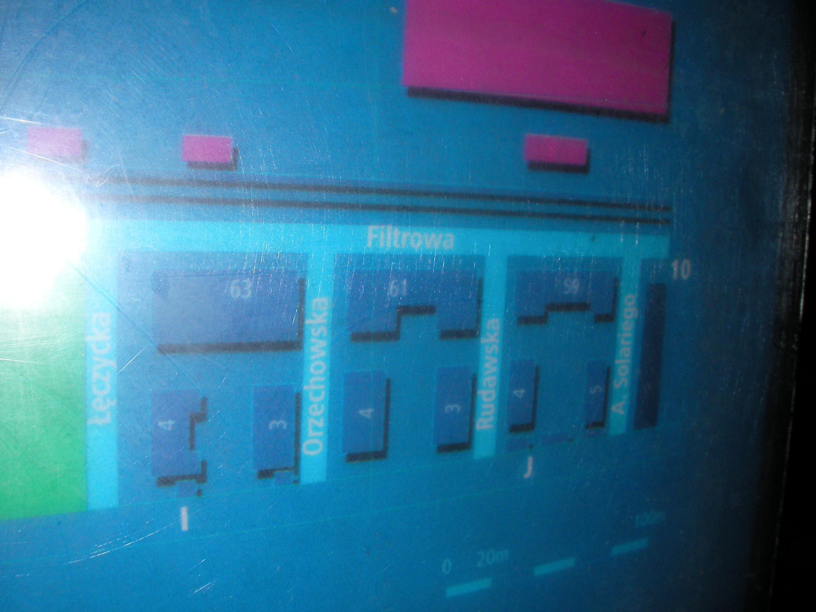
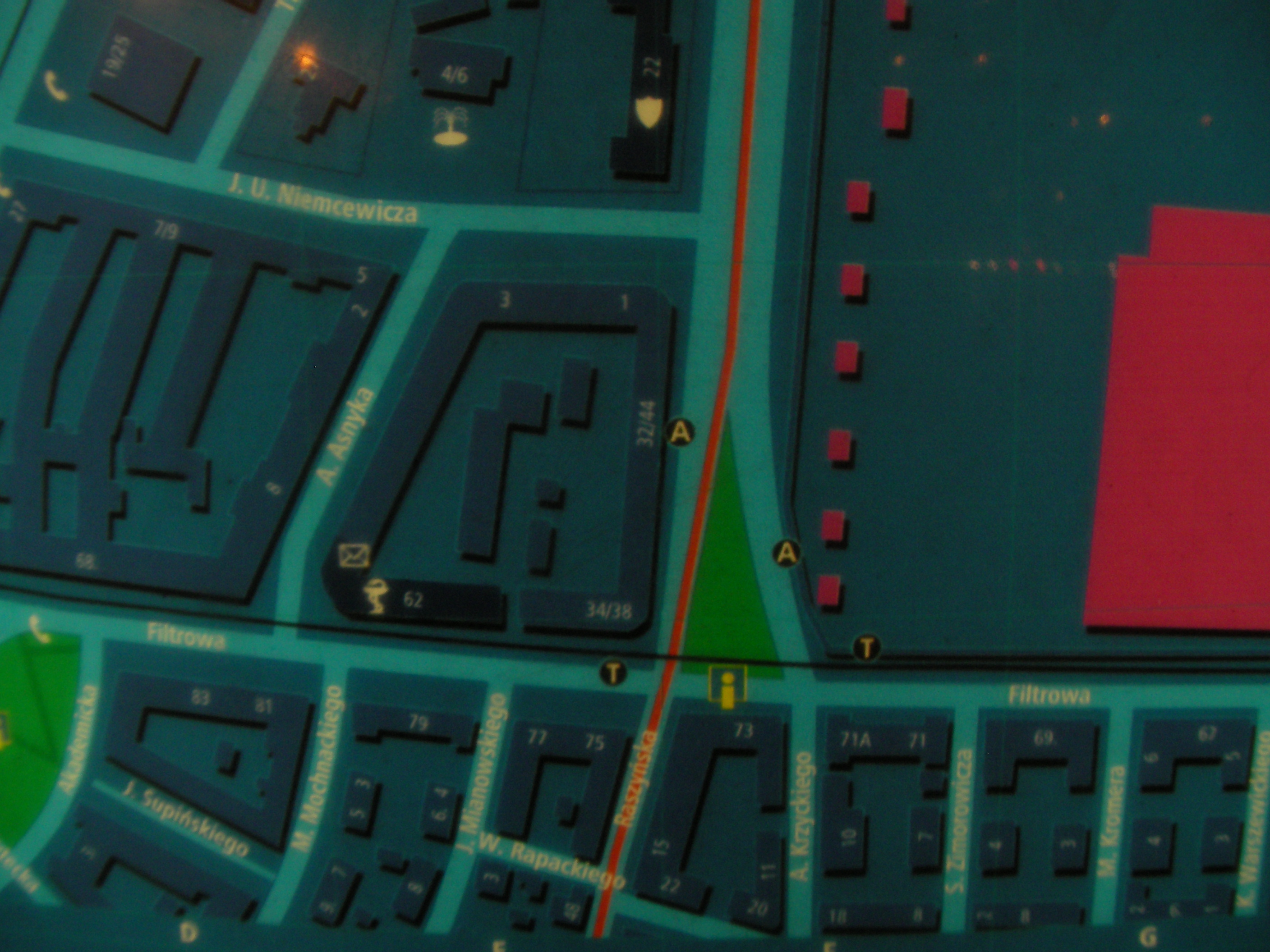
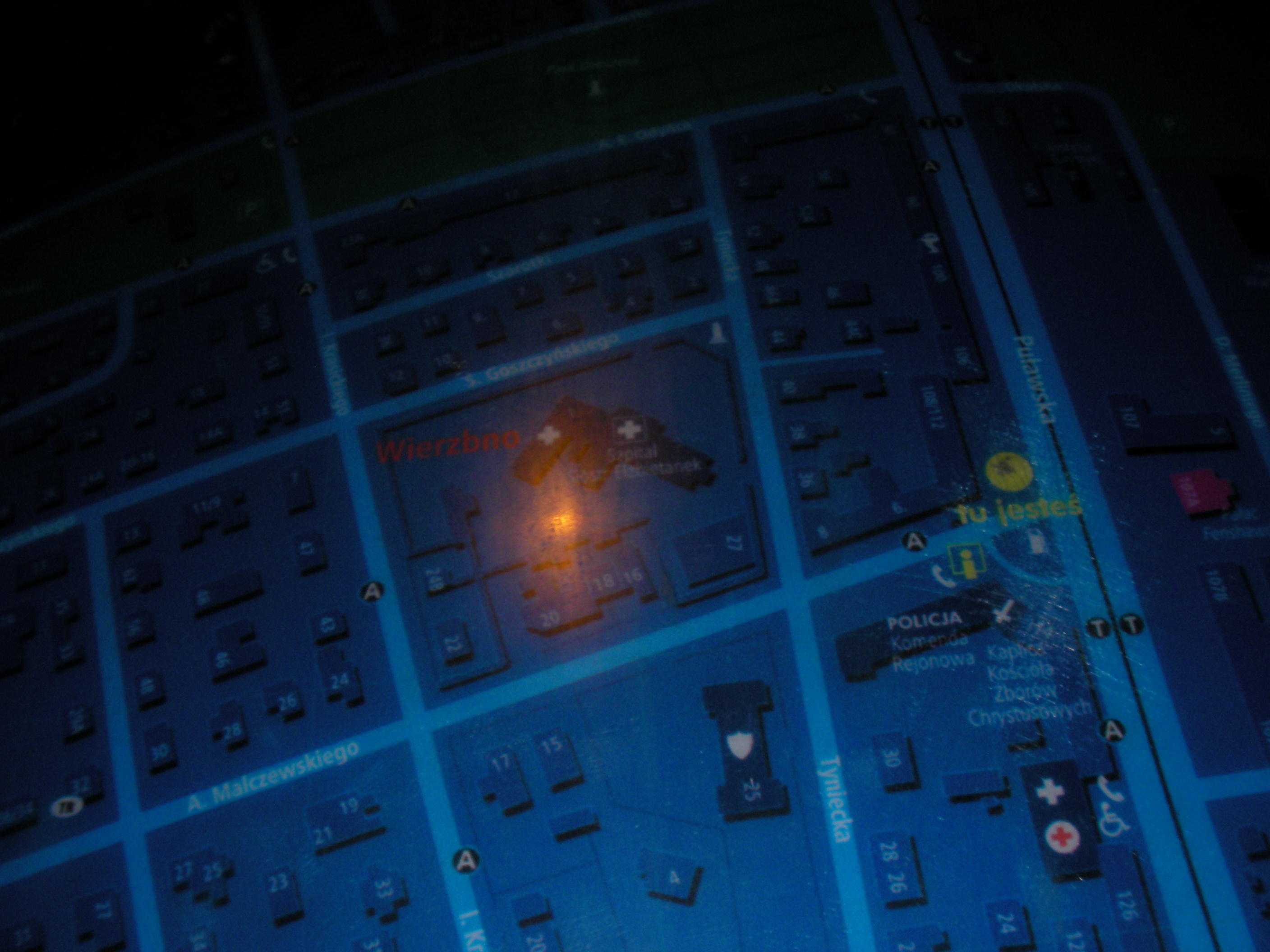
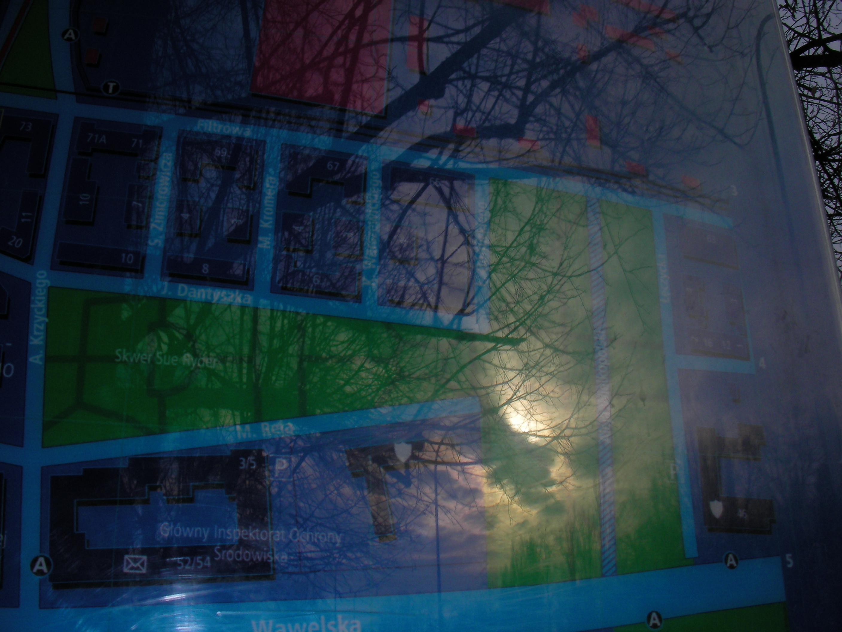
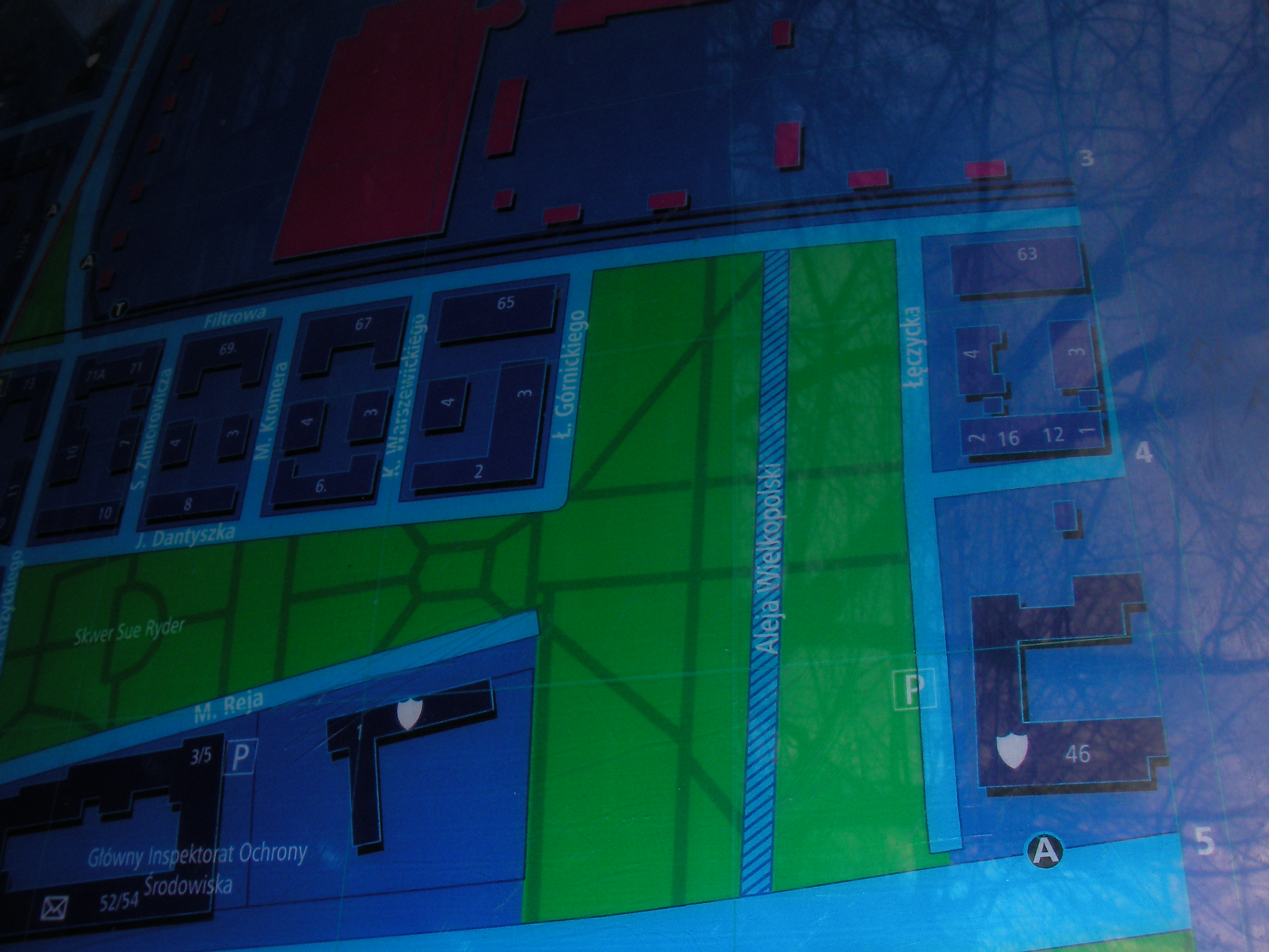
Filtrowa
South side of Filtrowa streets, between the crossings with Raszyńska and Krzyckiego. Approximate location.
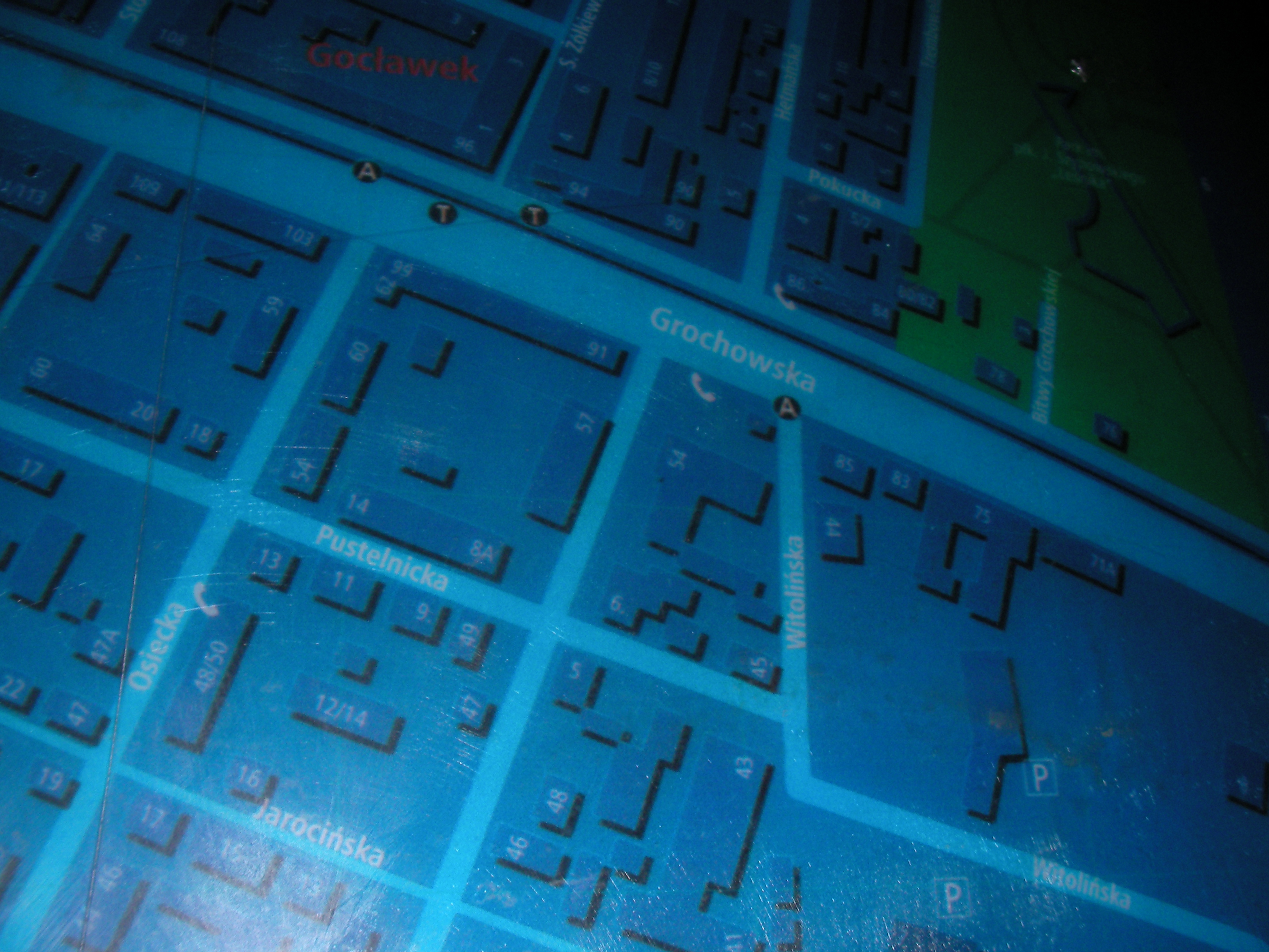
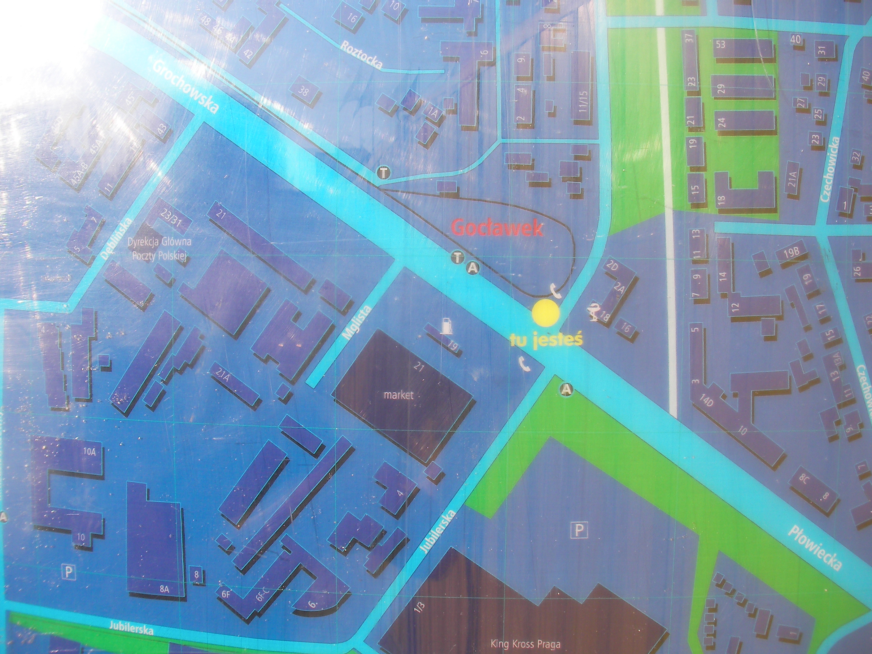
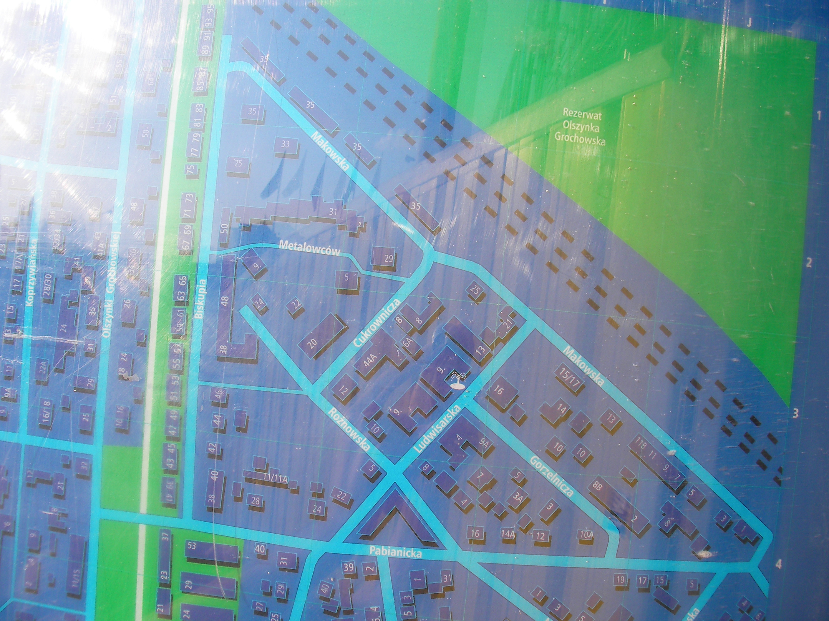
Gocławek
Near the pedestrian crossing over Grochowska, the last tram stop, and the crossing of Grochowska with Jubilerska / Olszynki Grochowskiej. Approximate location.
- Bottom-left, Bottom, Bottom-right, Right, Middle, Left, Top-left, Top, Top-right, Bottom half, Top half, Bottom-right, Map key (POIs).
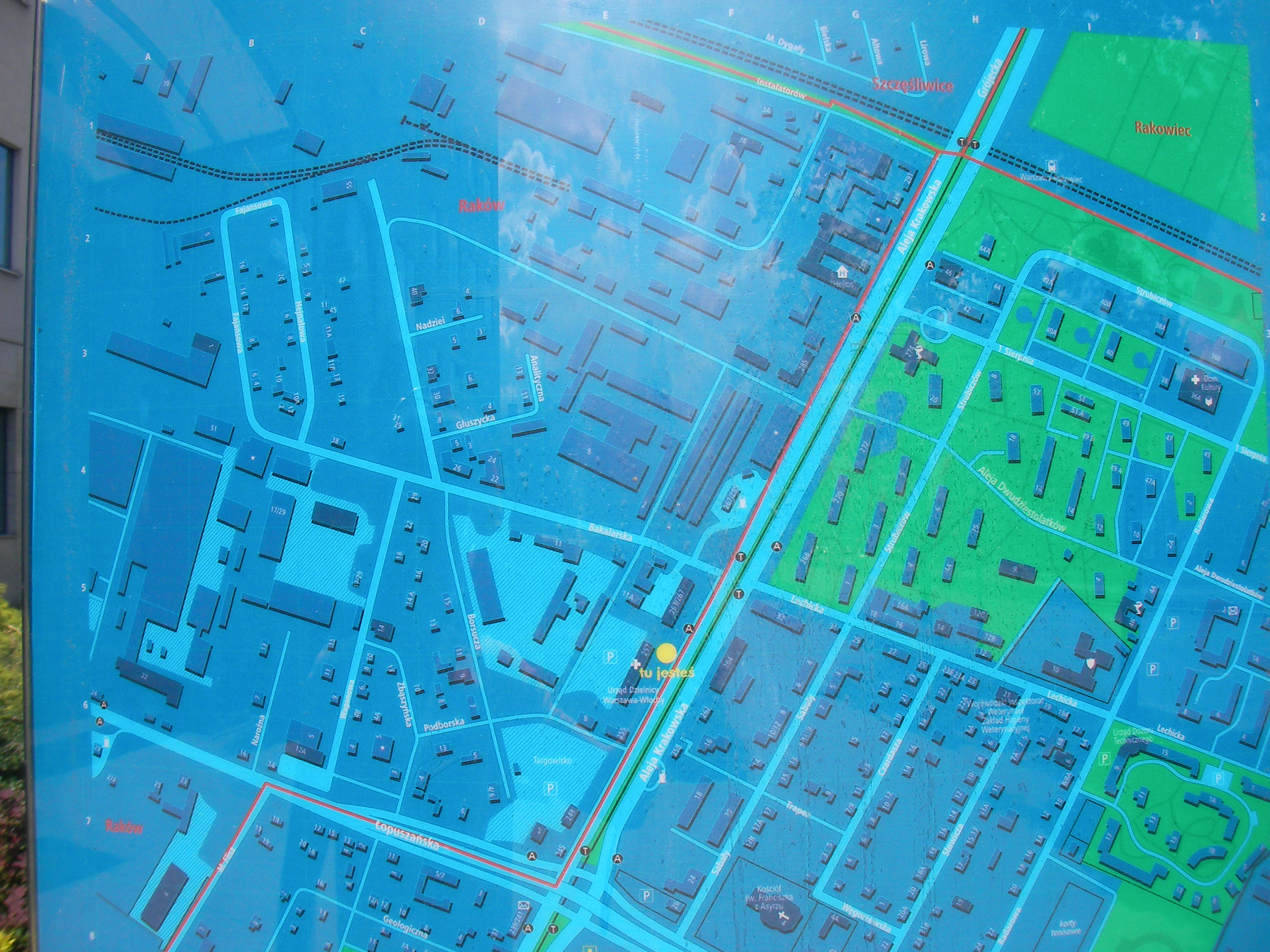
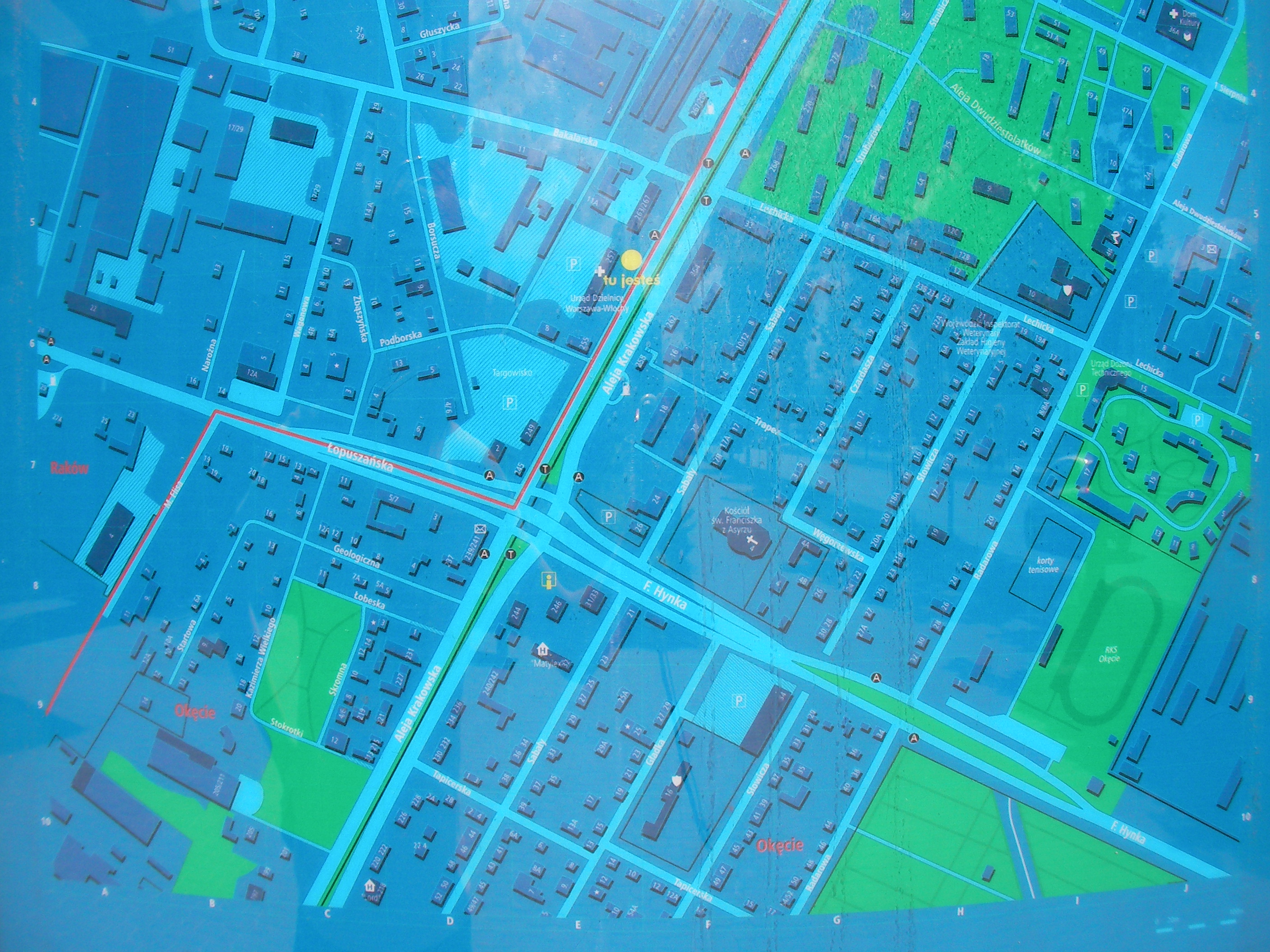
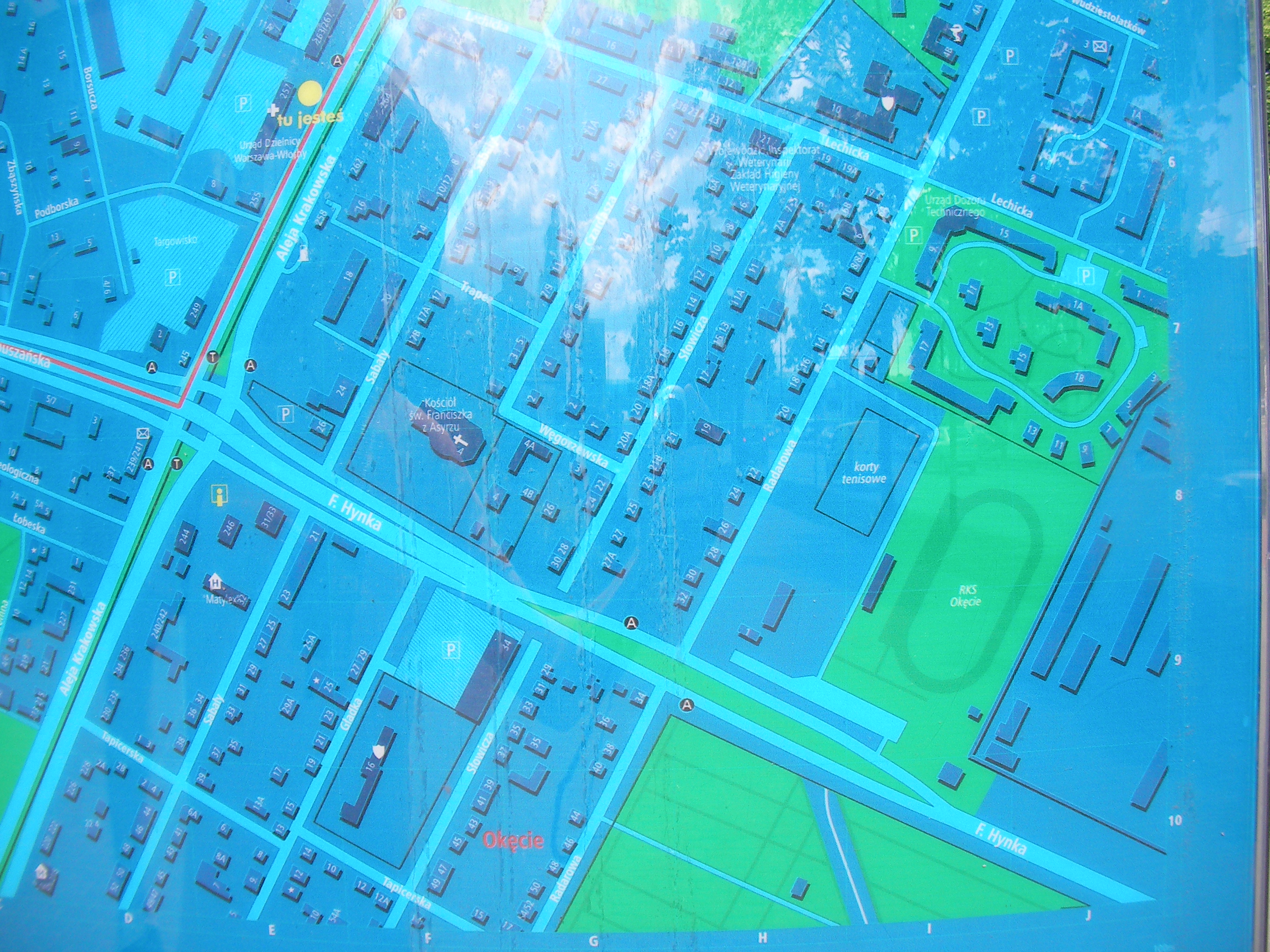
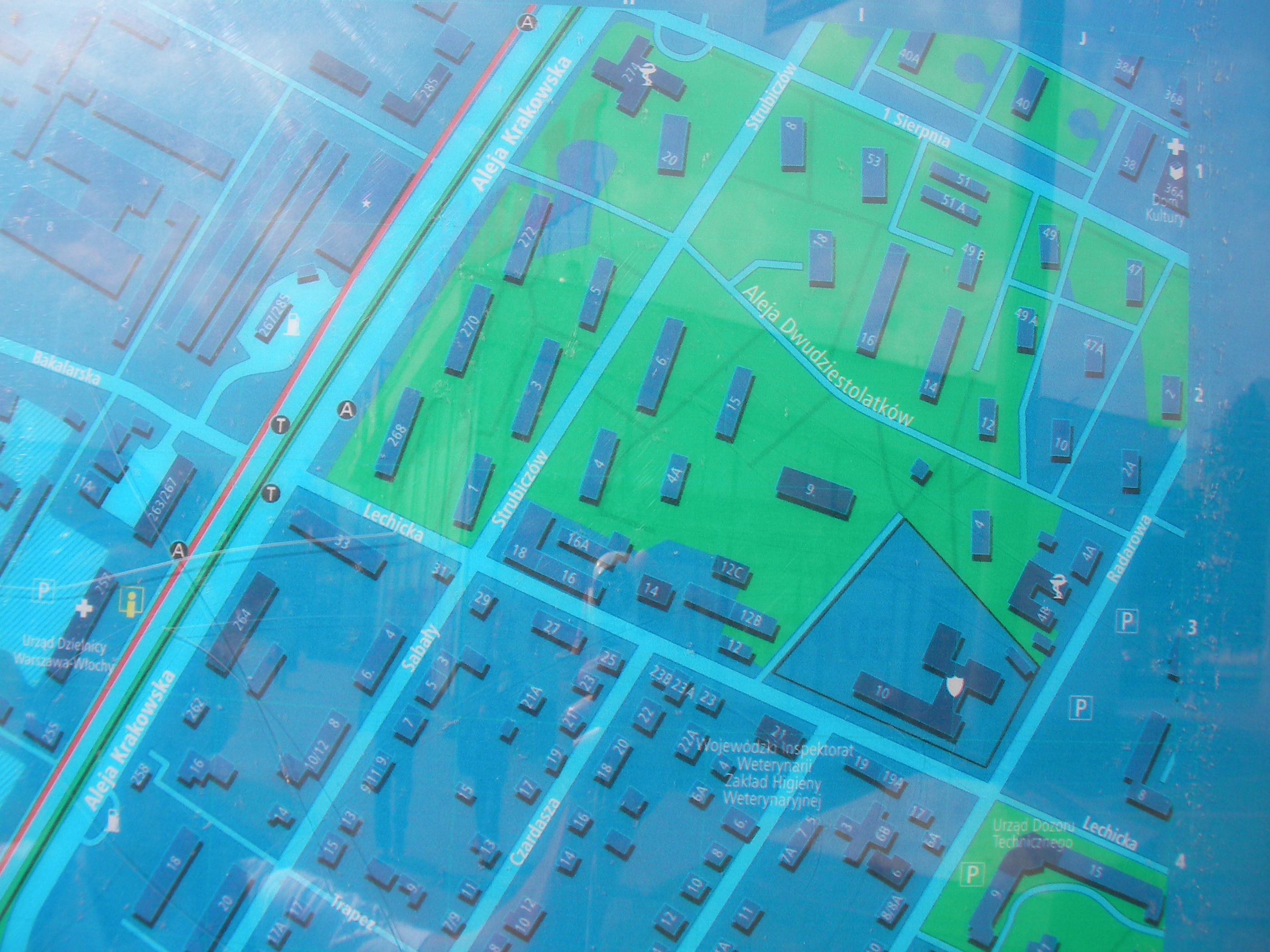
Aleja Krakowska (north)
In front of the cityhall for Warszawa-Włochy district, west side of Aleja Krakowska, nearest crossing is that with Bakalarska. Approximate location.
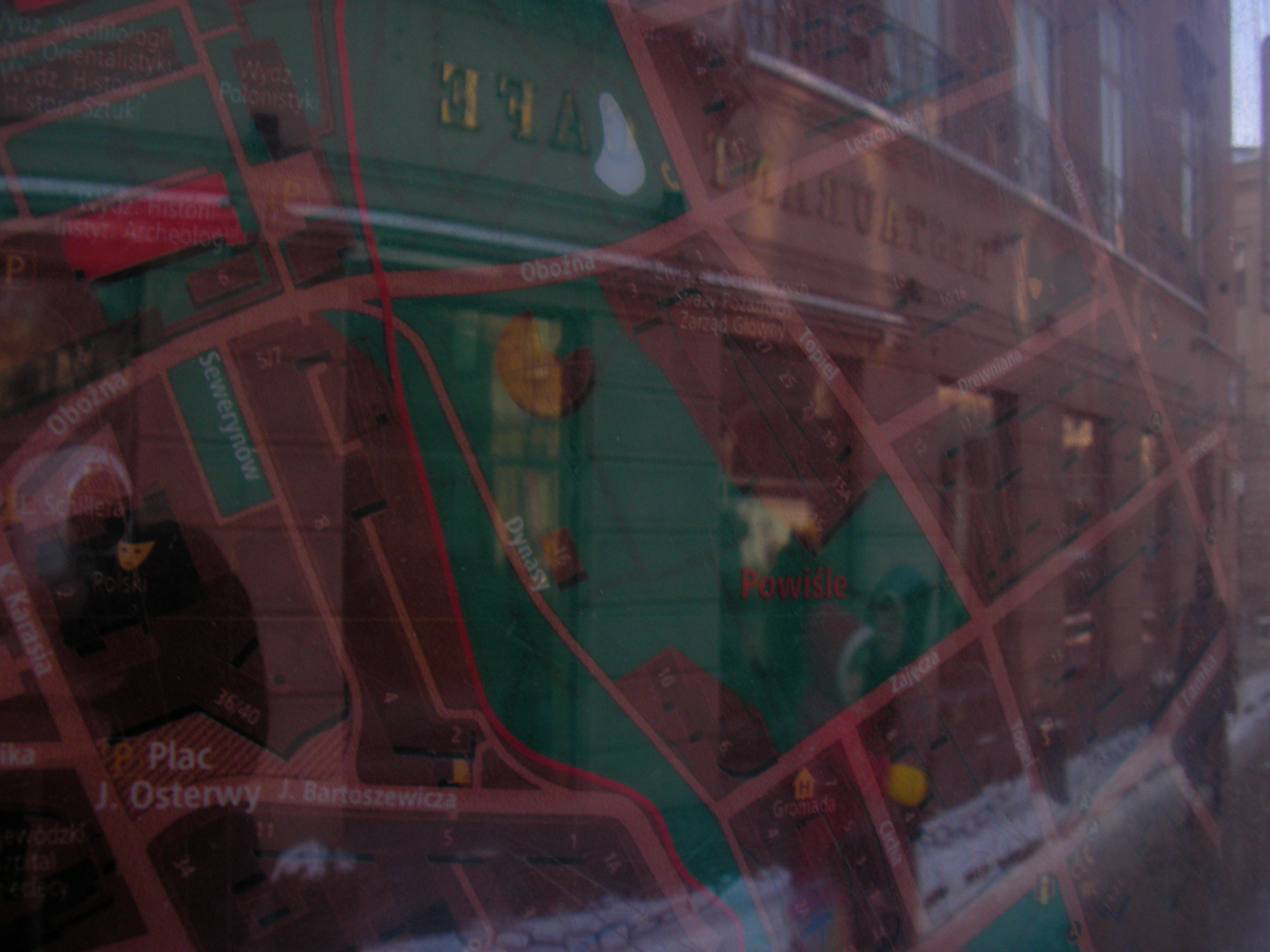
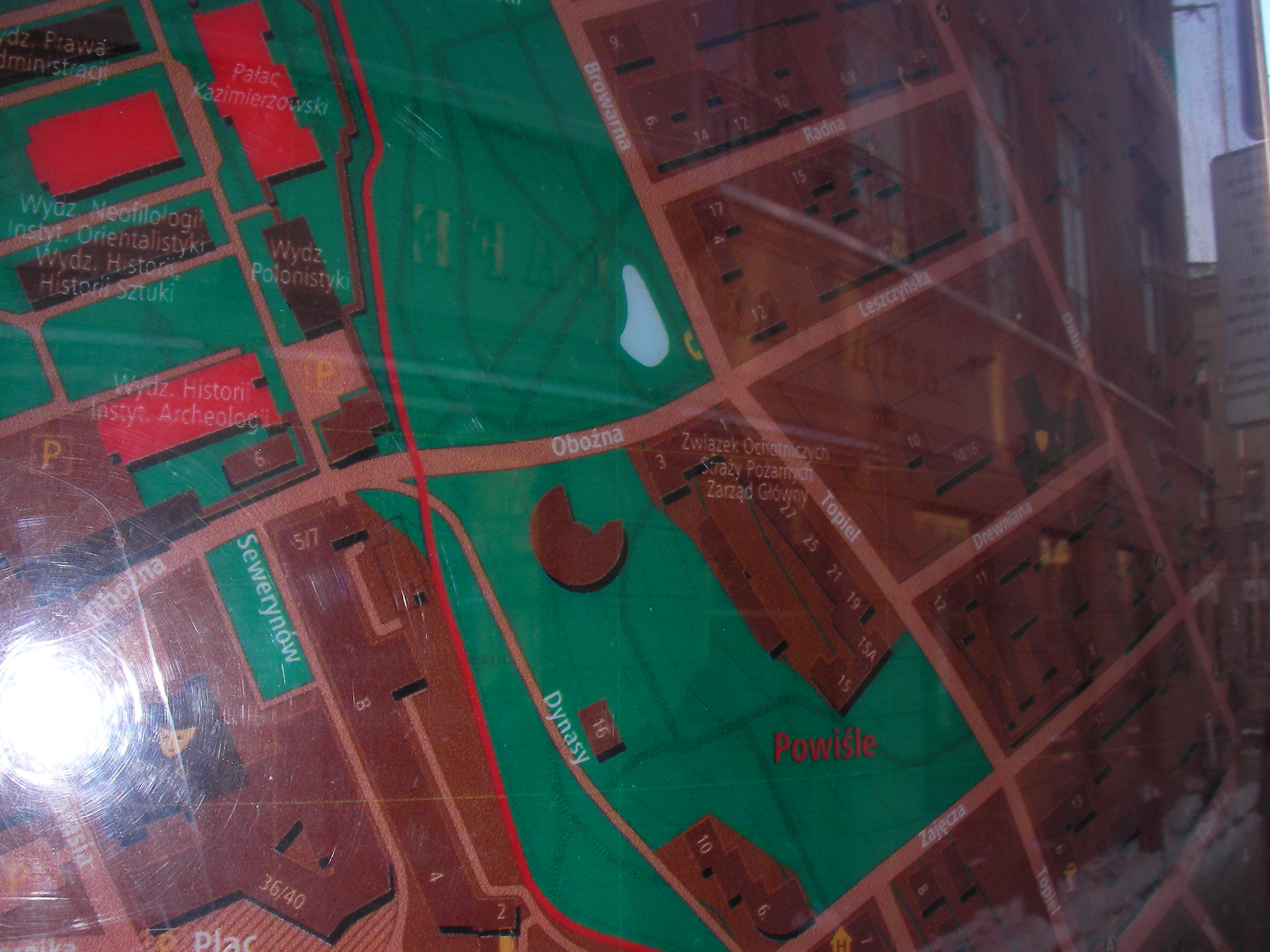
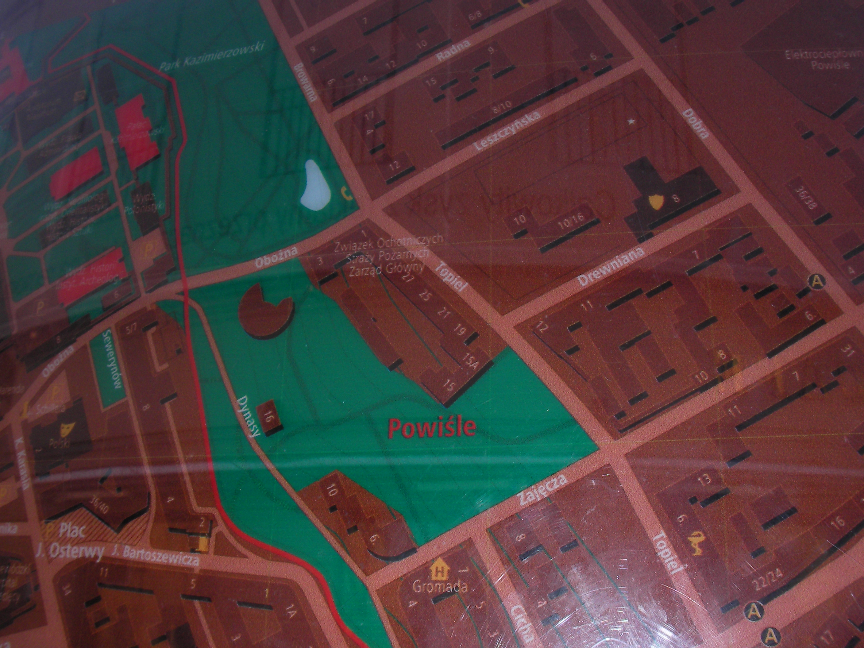
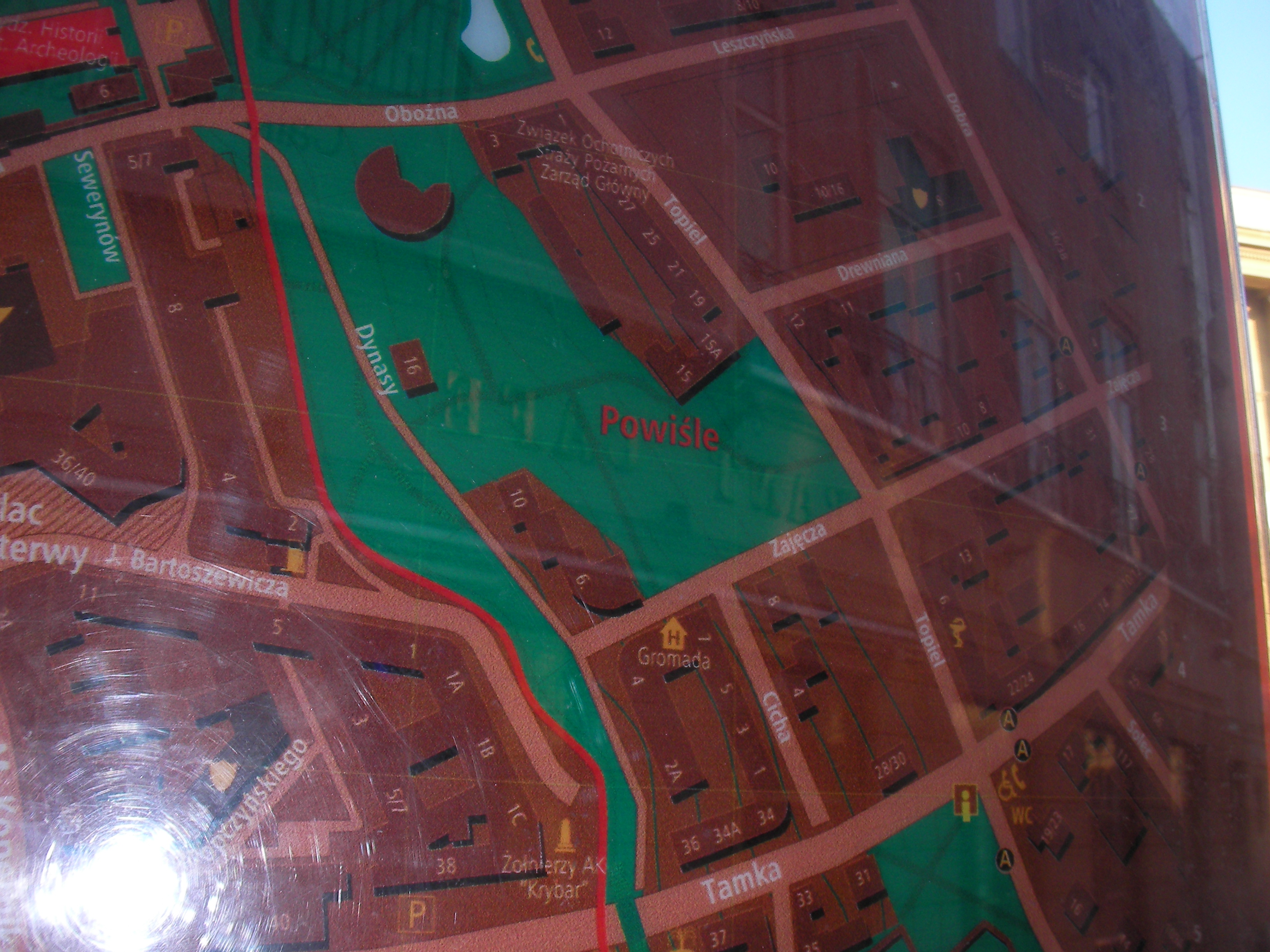
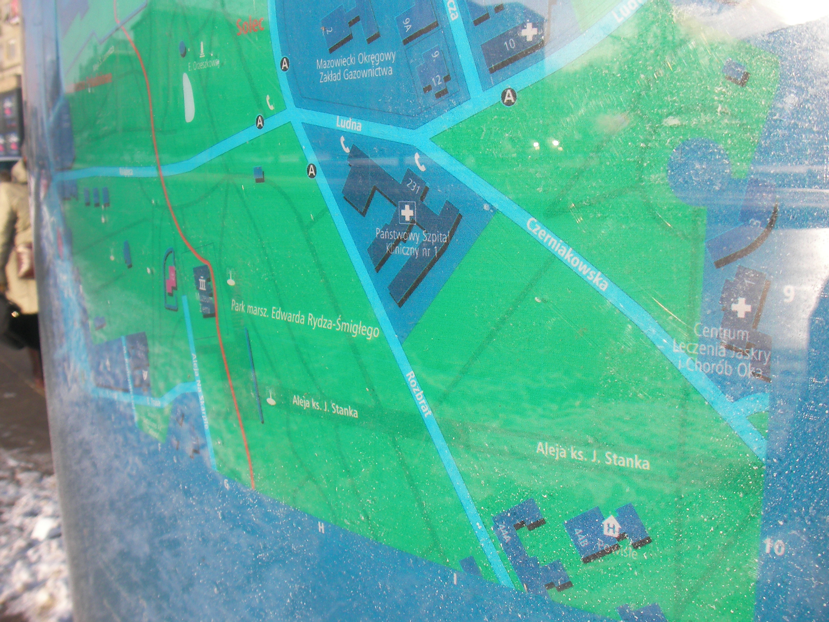
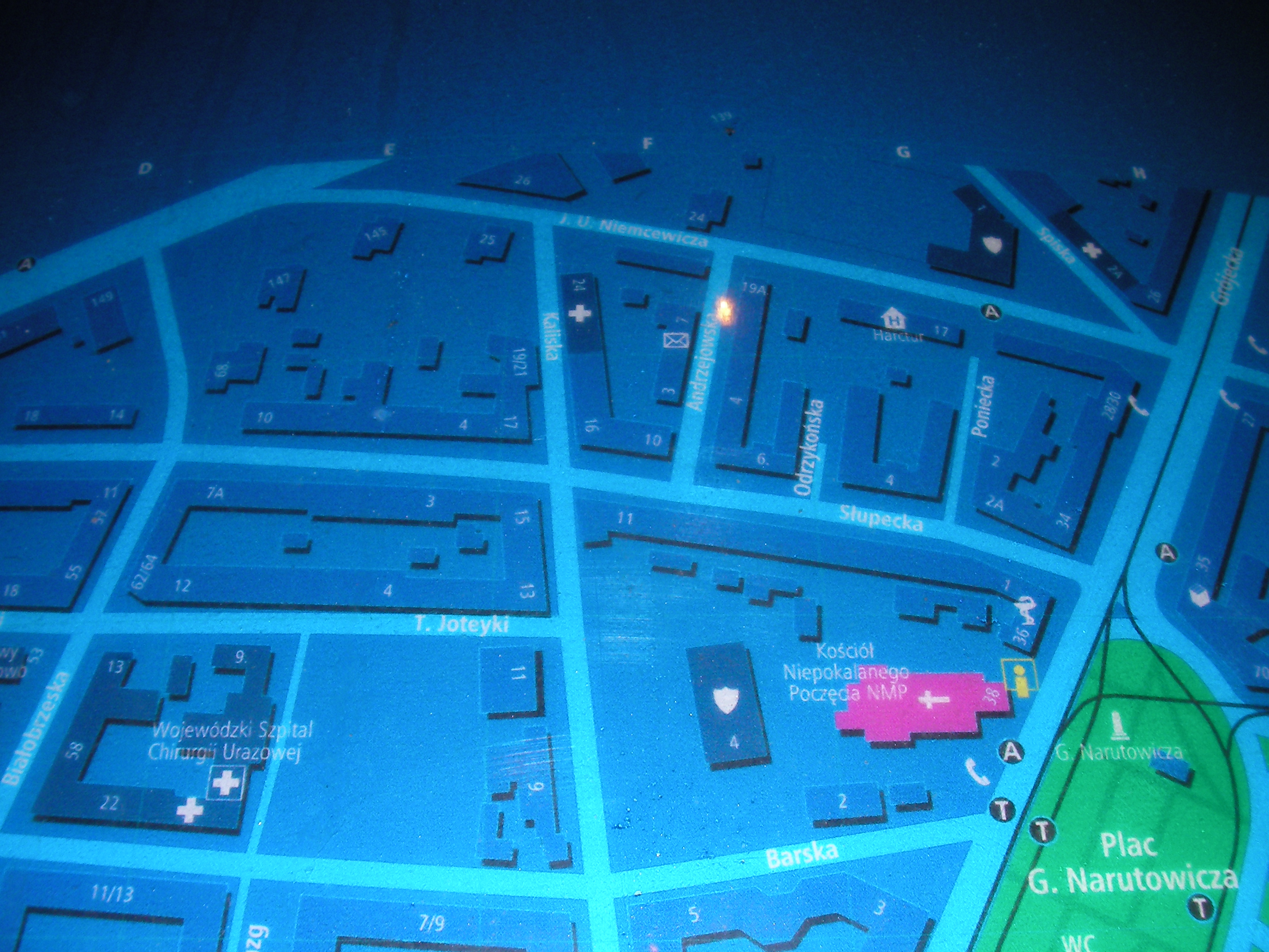
Powiśle
Solec street. Approximate location.
- Map key (POIs), Top half, Bottom half, Bottom-left, Bottom, Bottom-right, Right, Middle, Left, Top-left, Top, Top-right.
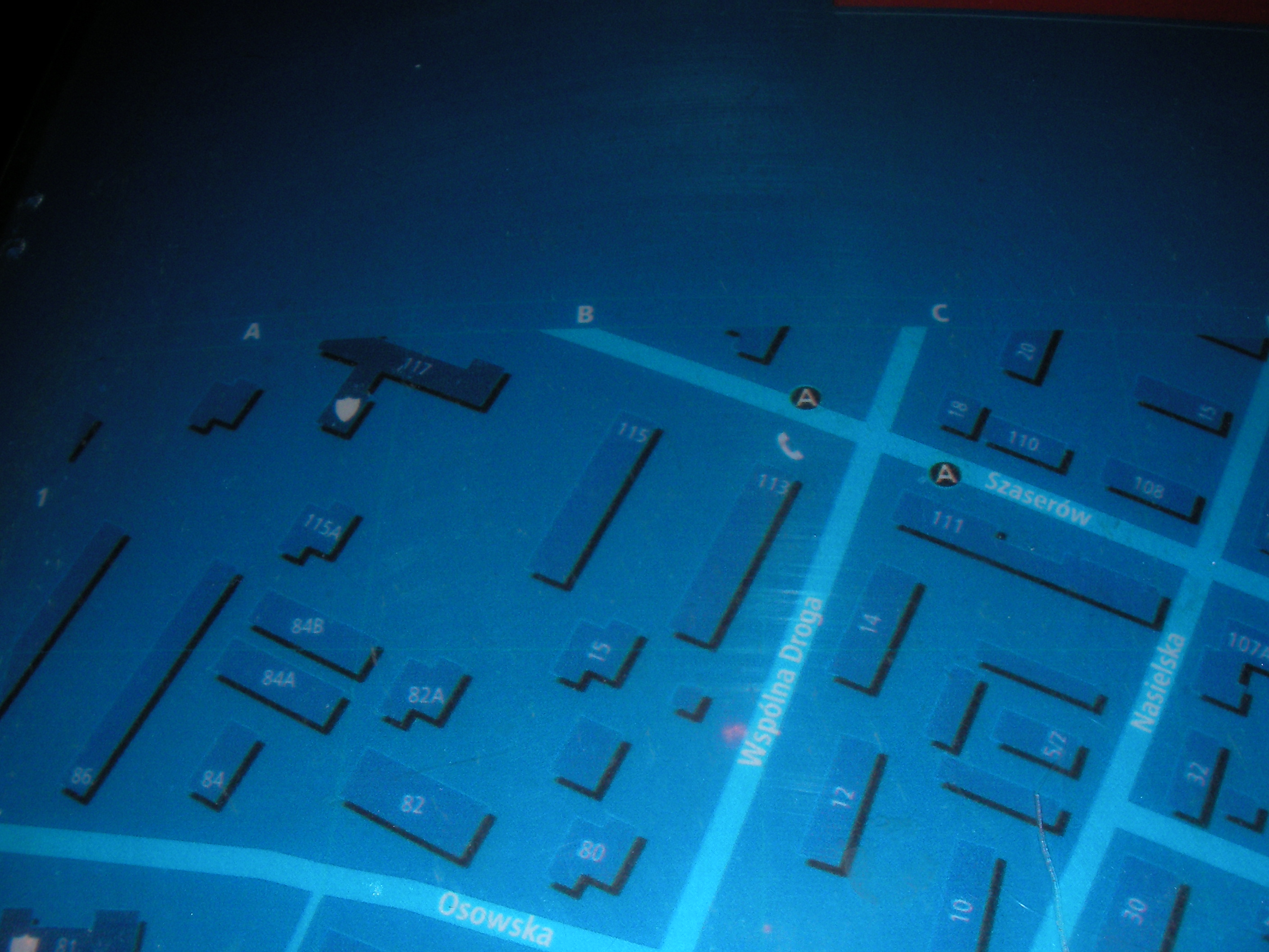
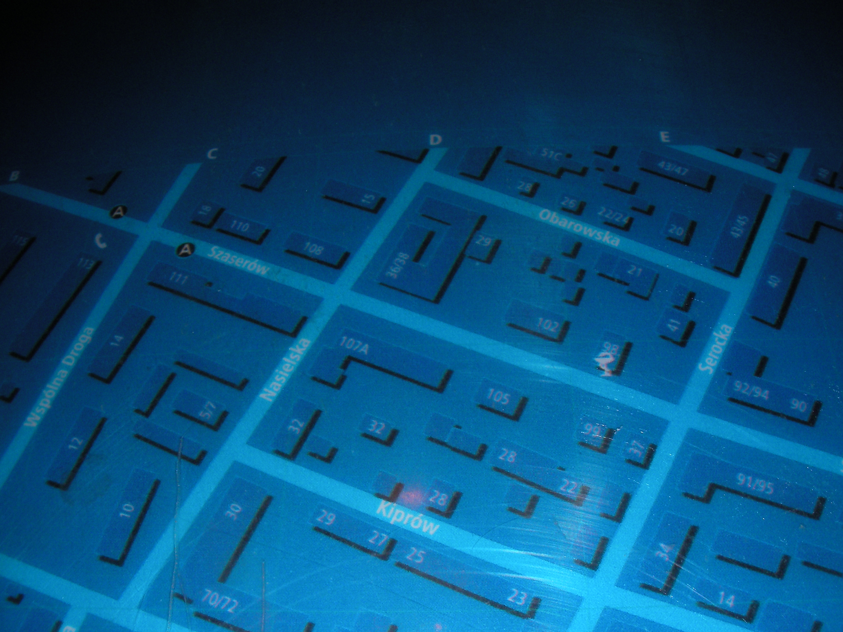
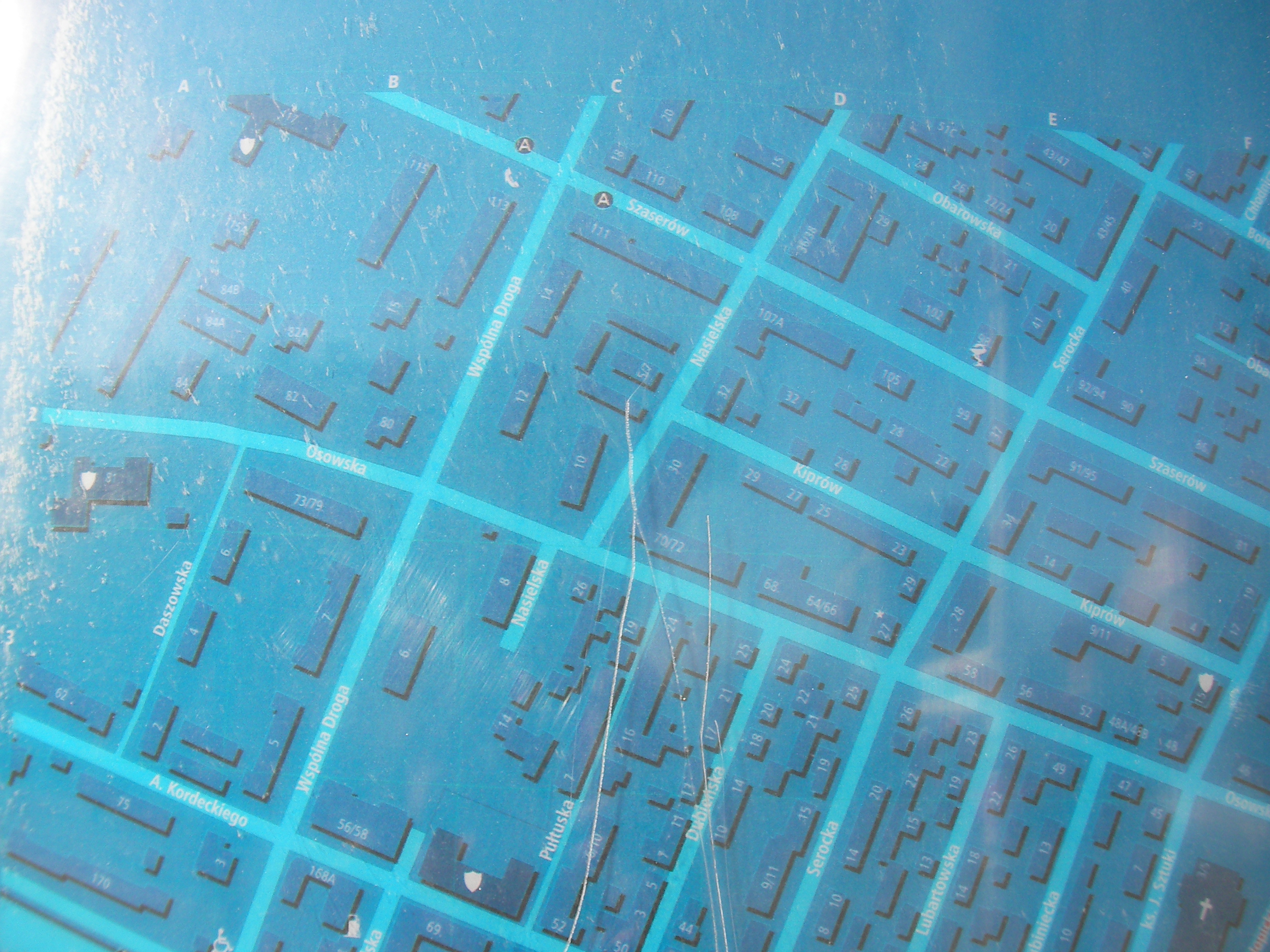
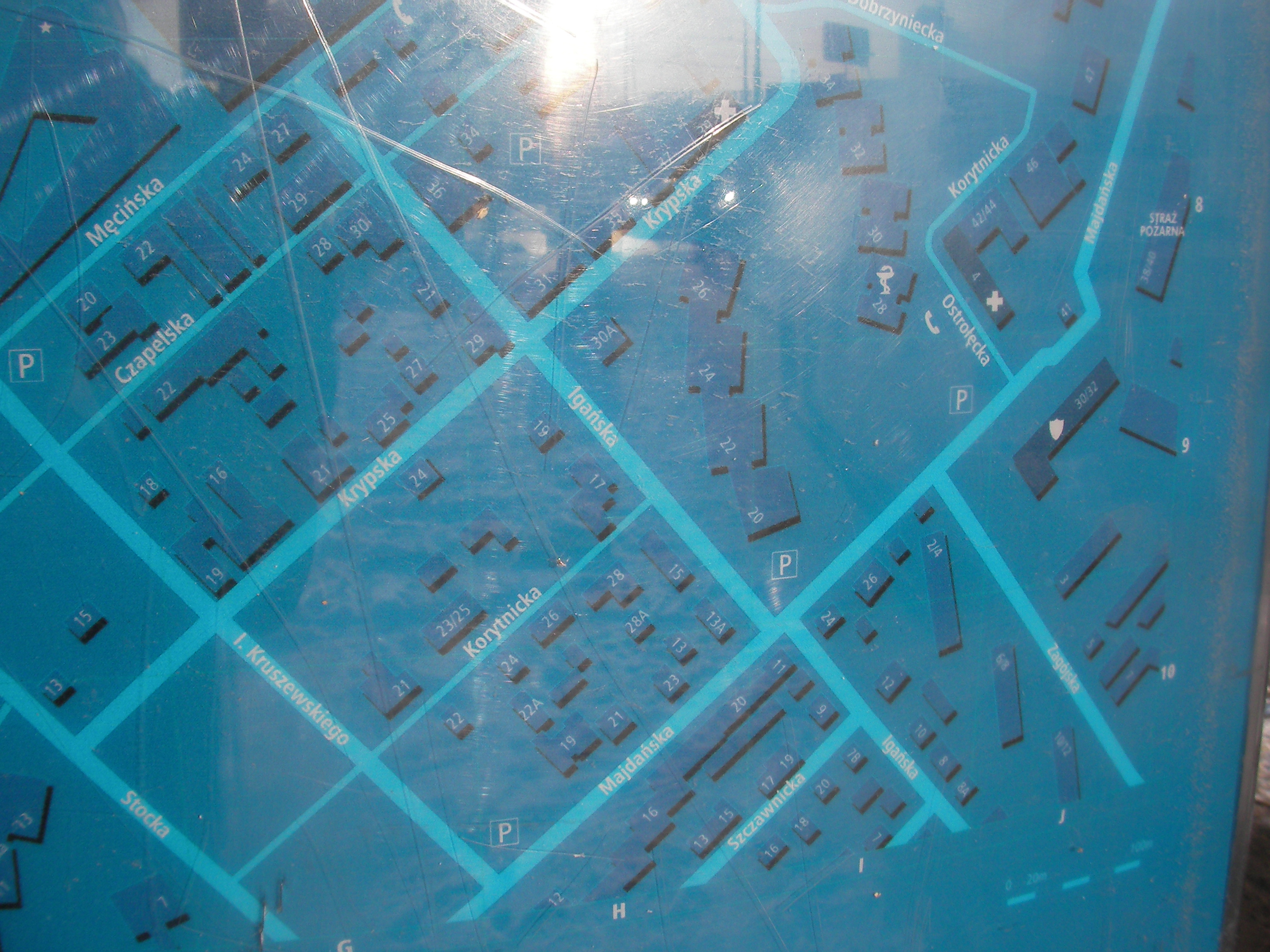
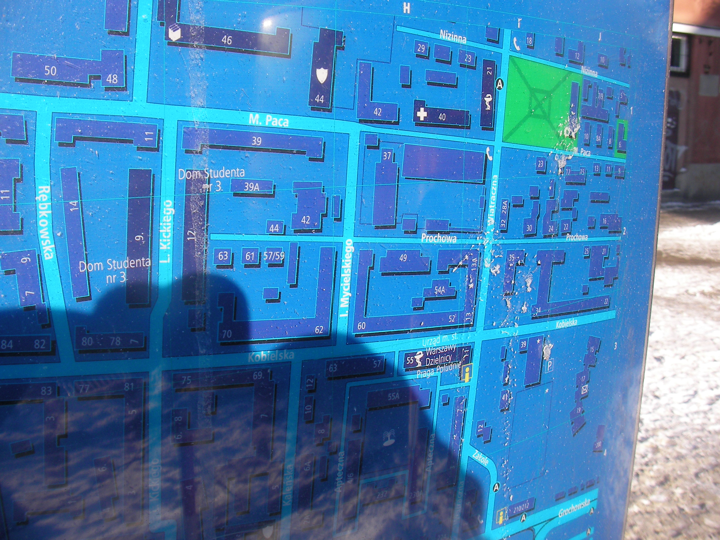
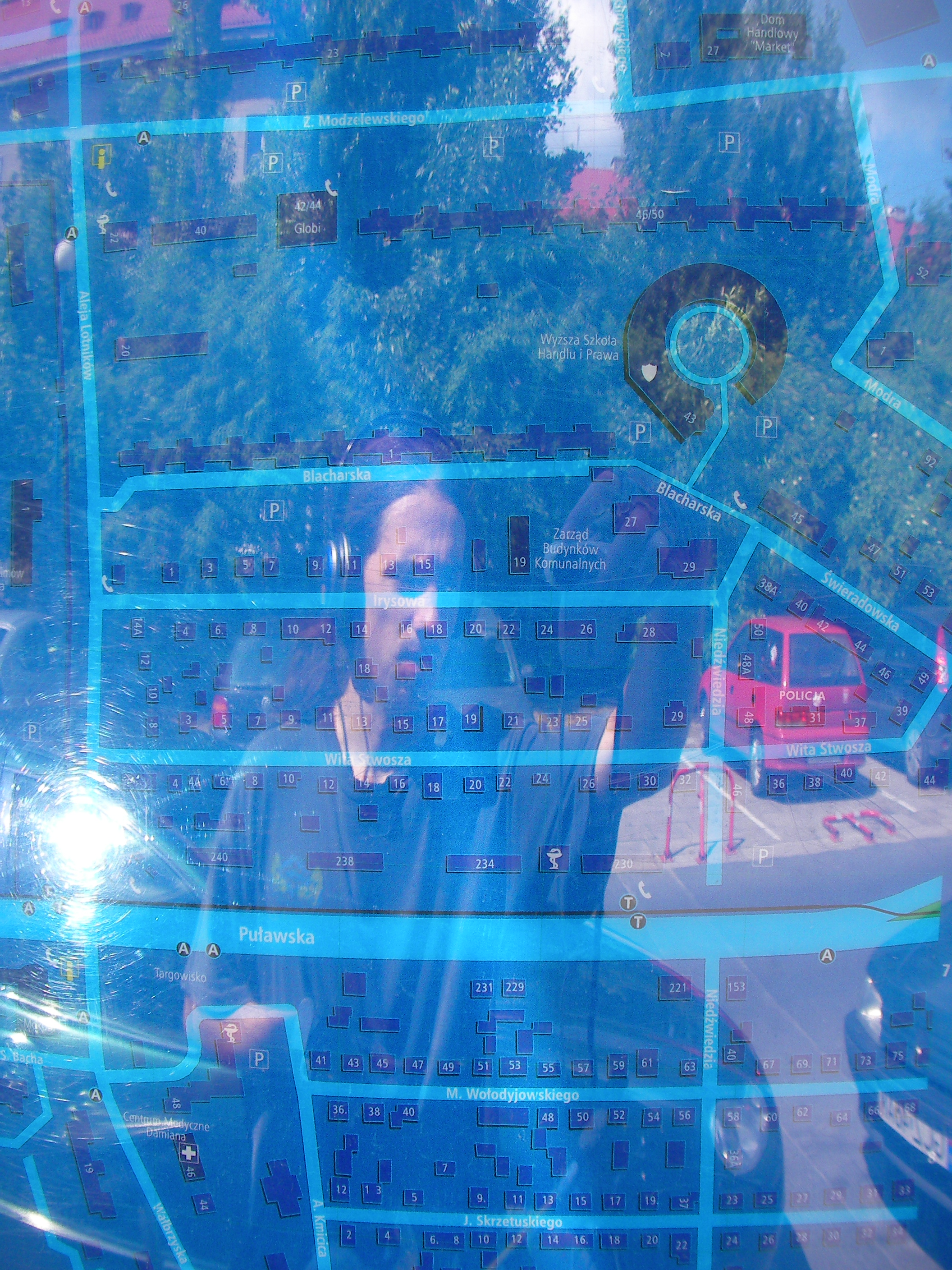
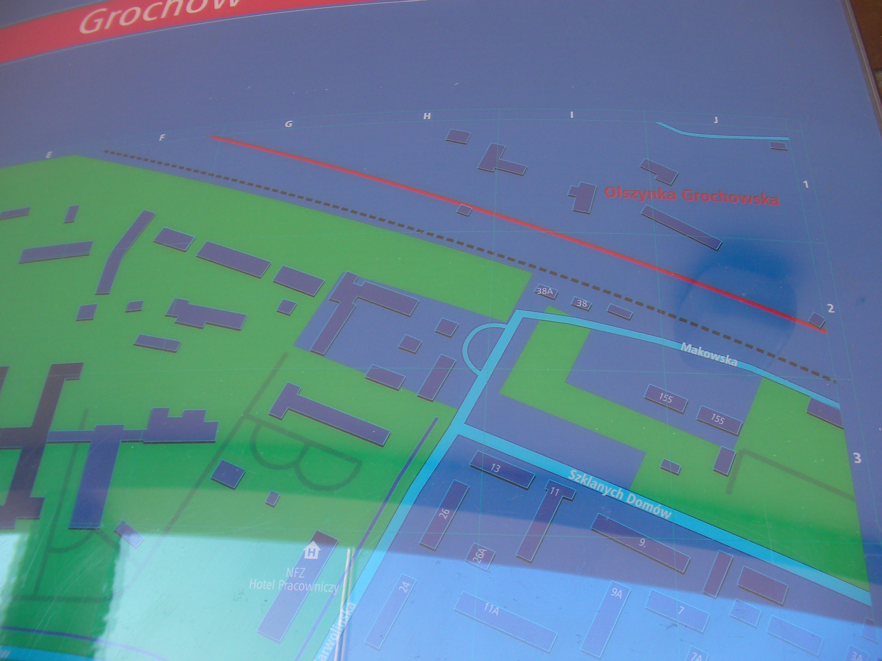
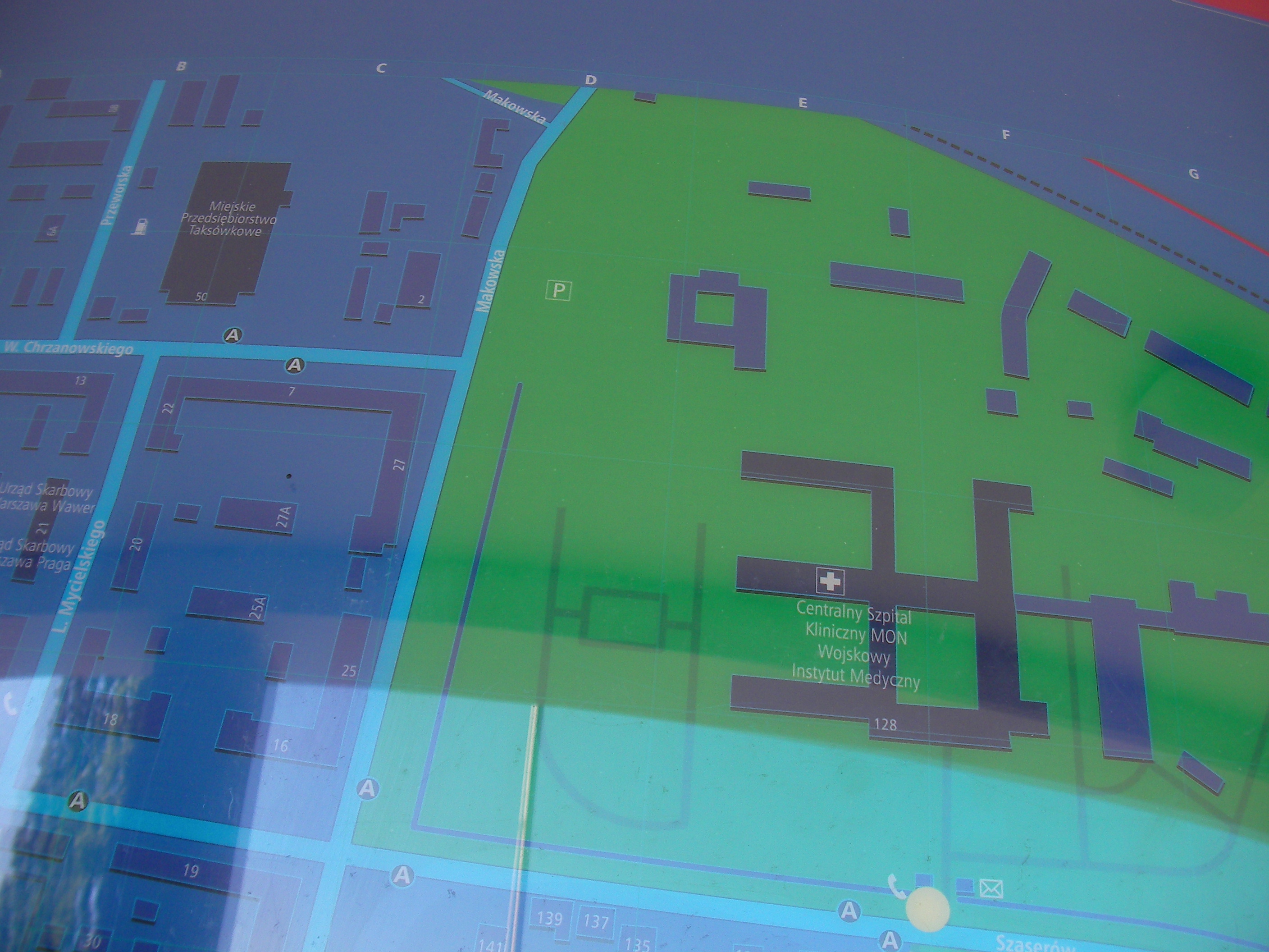
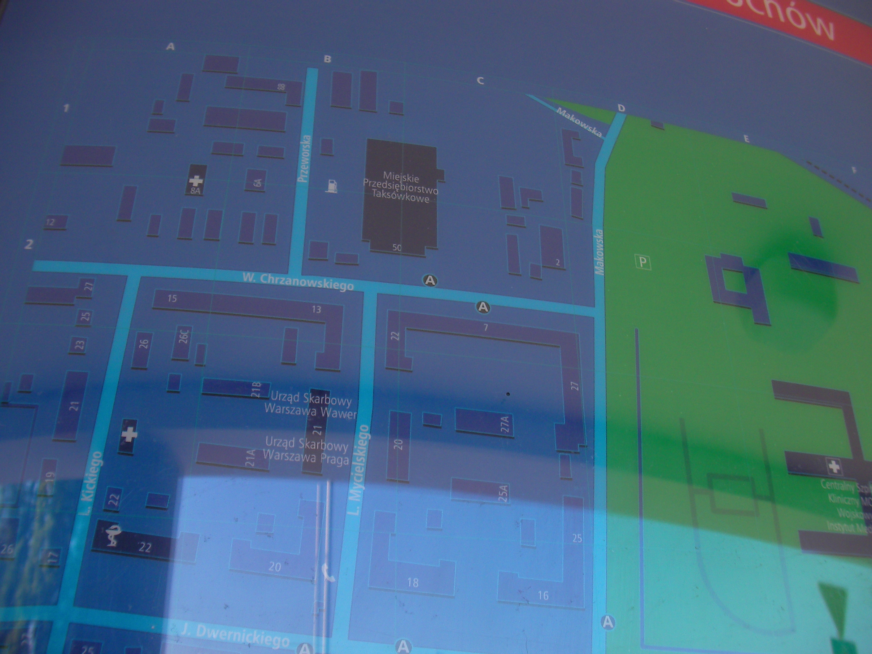
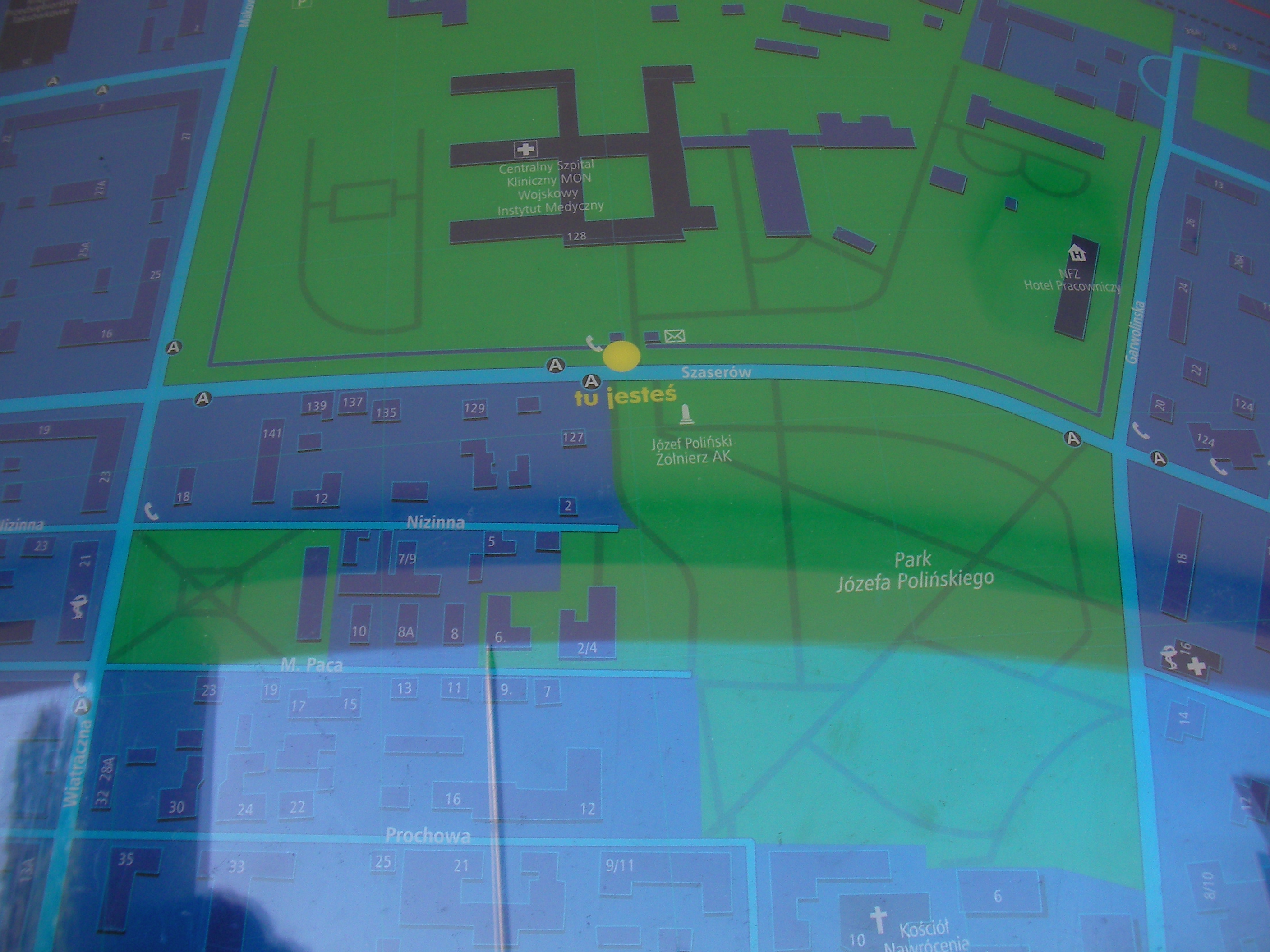
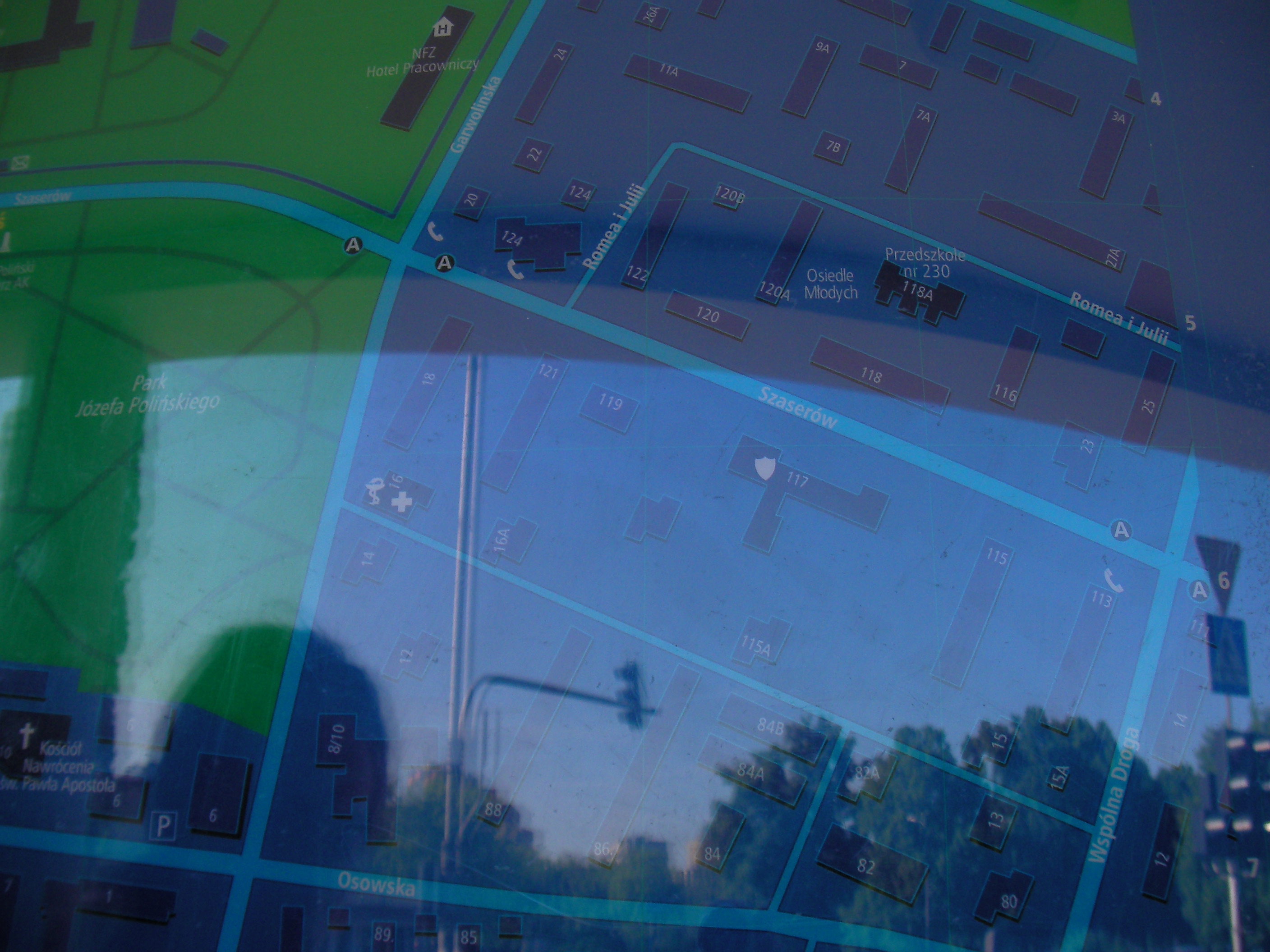
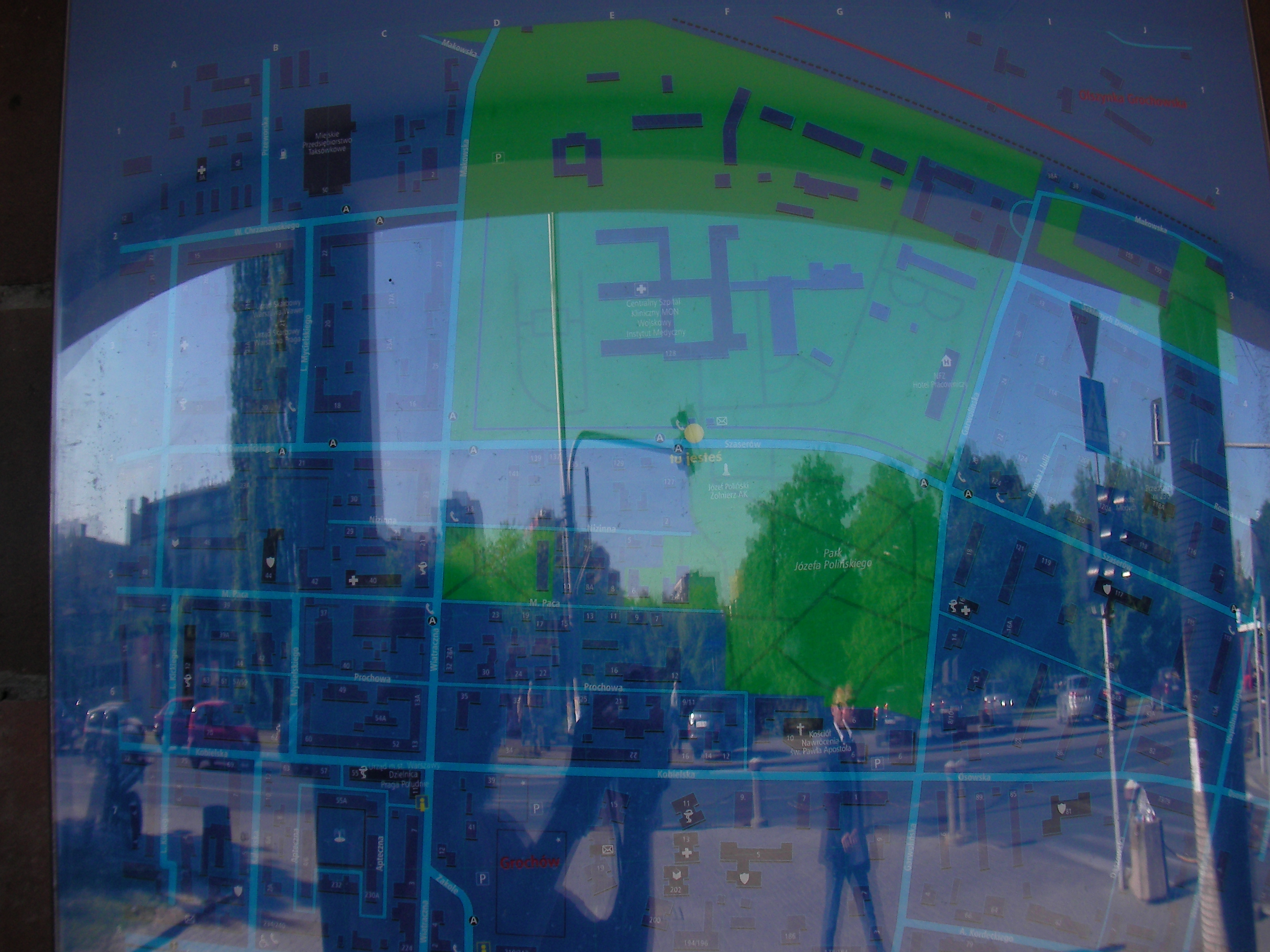
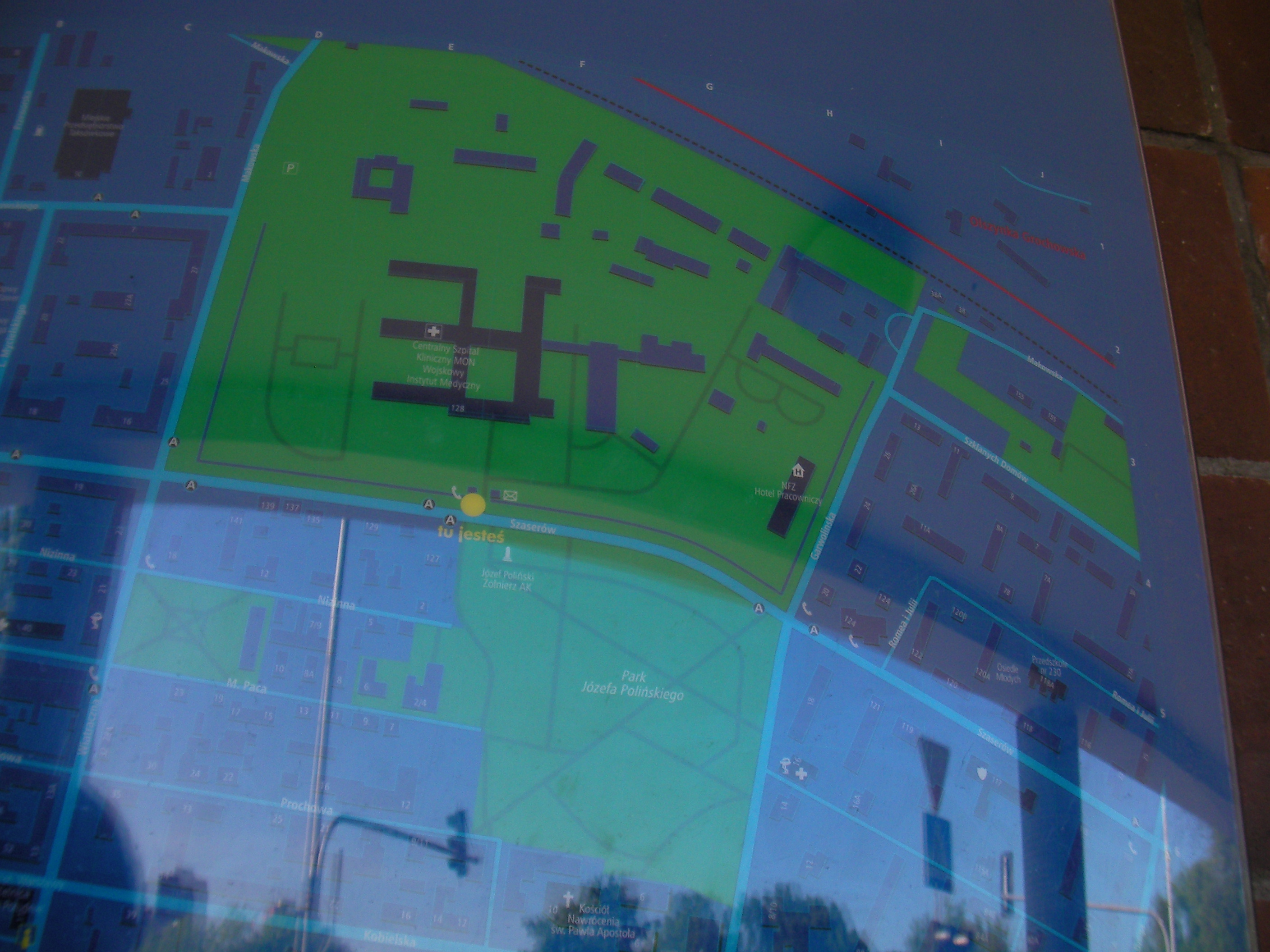
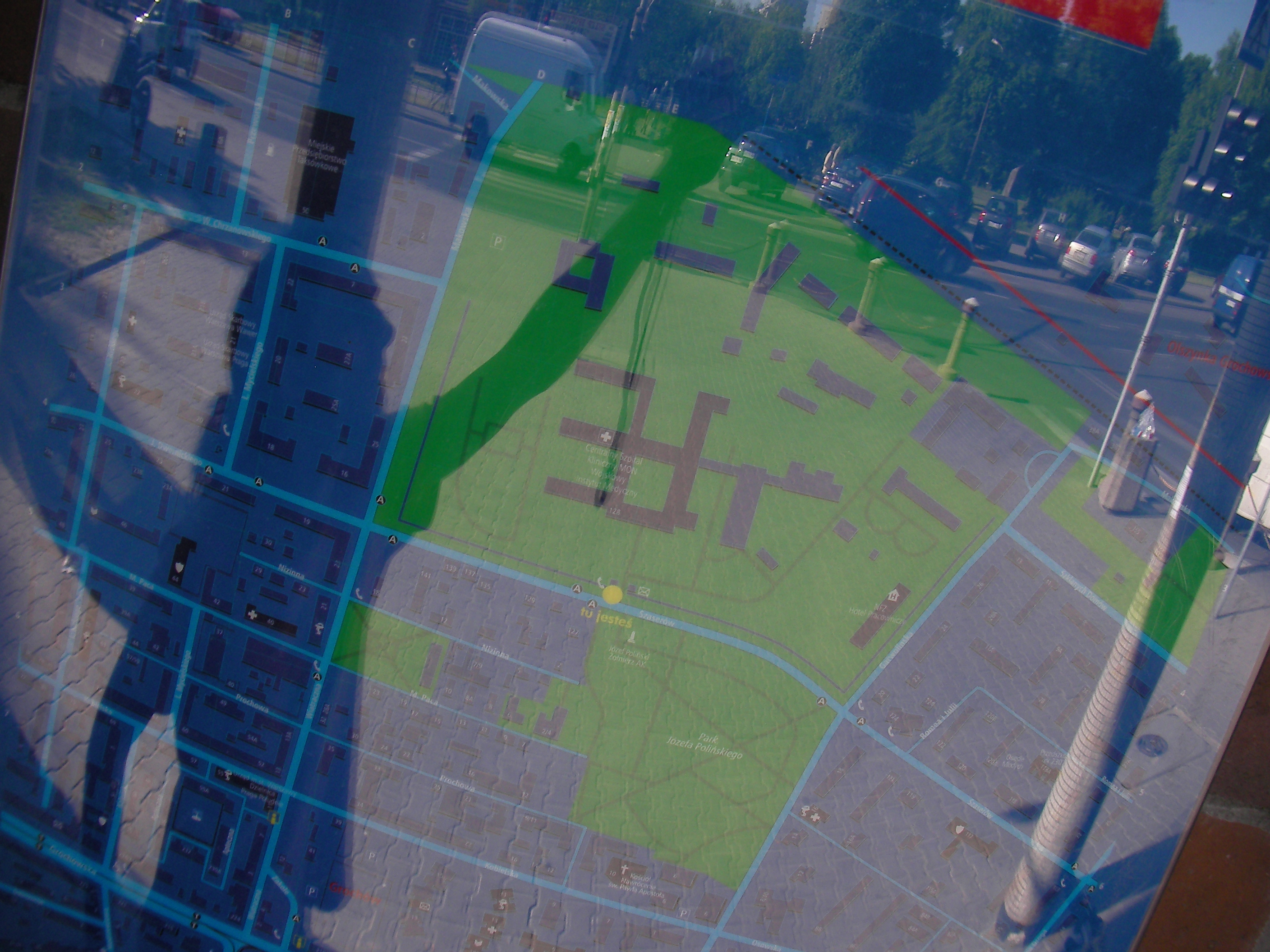
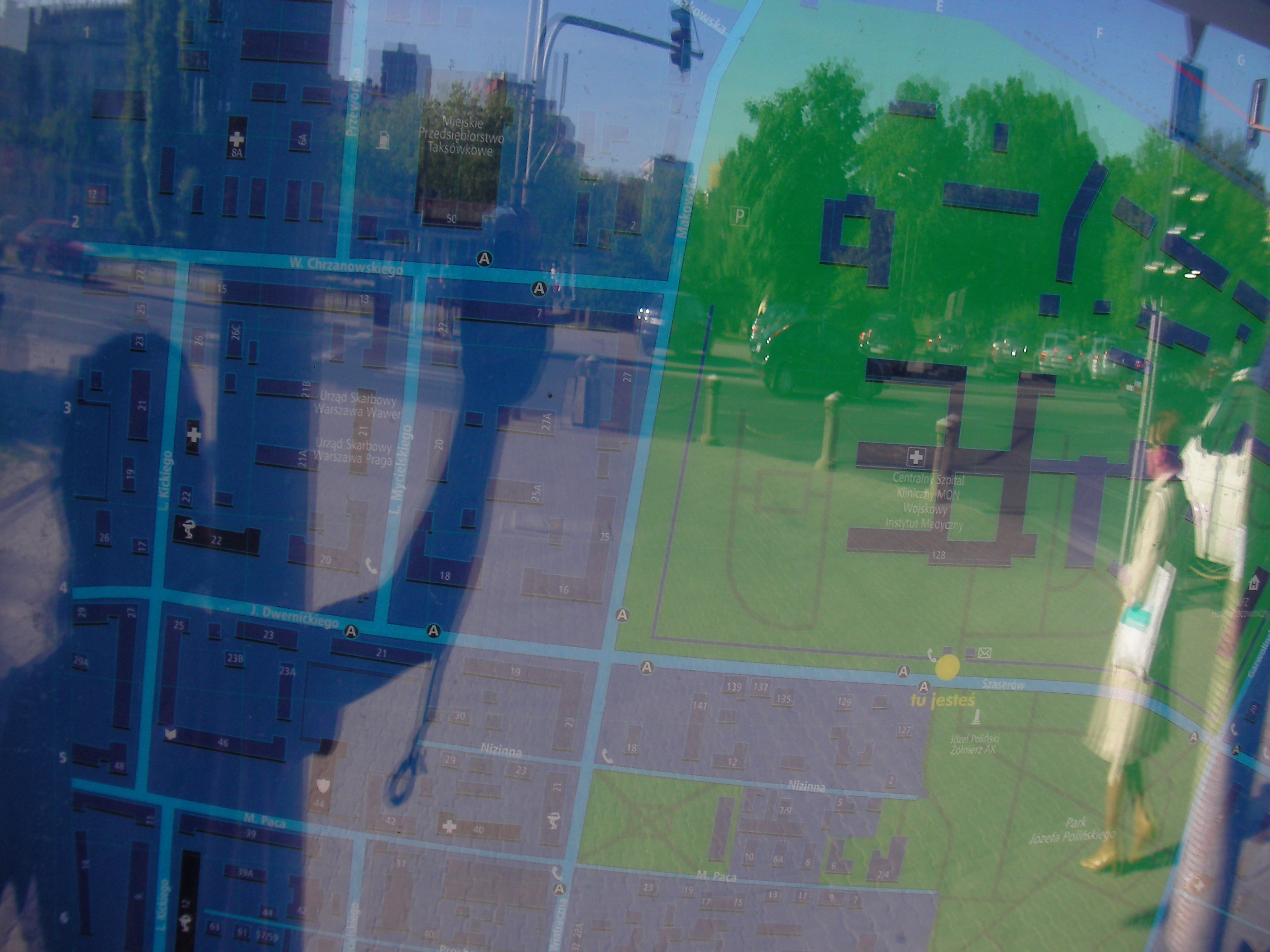
Szaserów (the hospital)
By the main gate of MON hospital and Military Medical Institute, on a wall north of Szaserów street. Approximate location.
- Top-right, Top, Top-left, Left, Middle, Right, Bottom-right, Bottom, Bottom-left, Map key (POIs), Map key (POIs), Top half, Bottom half, Top-right, Top-right, Top-left.
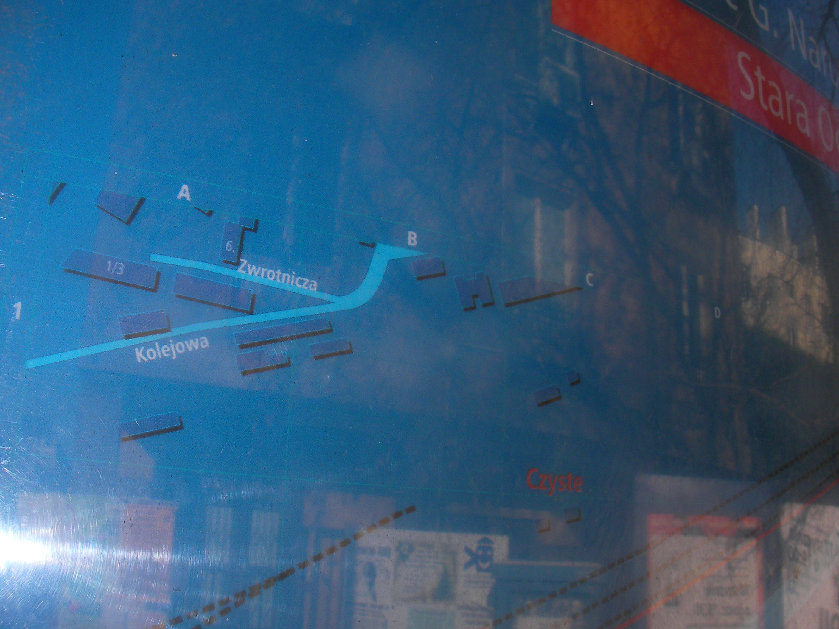
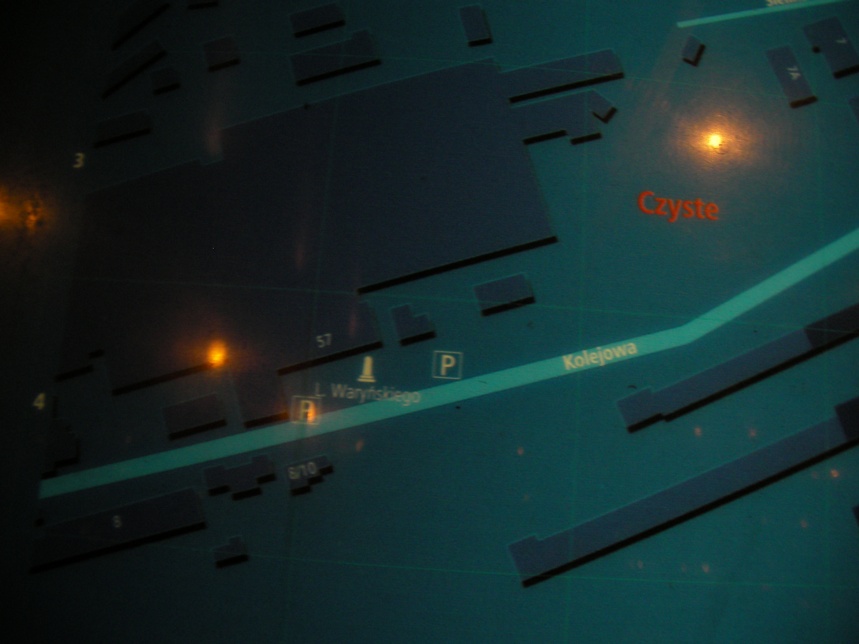
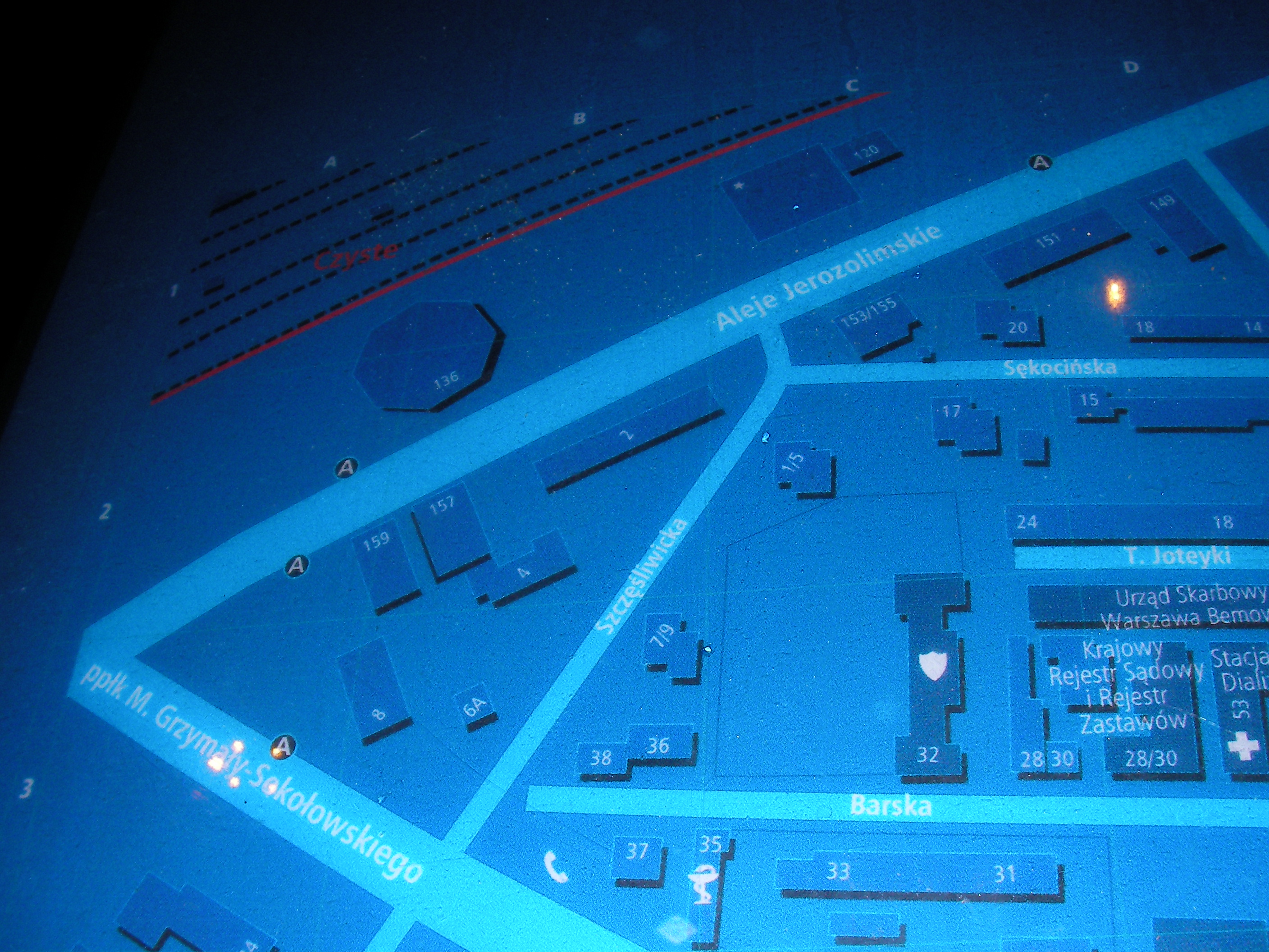
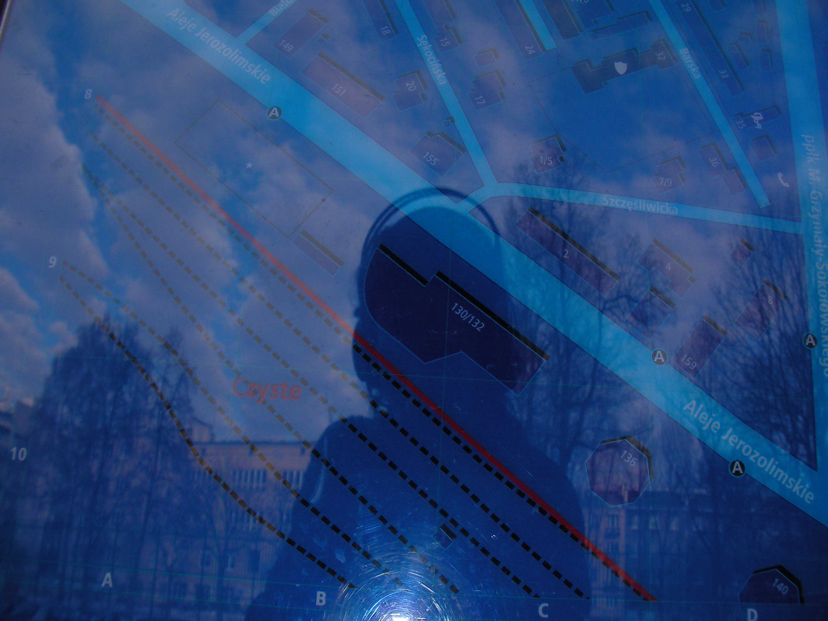
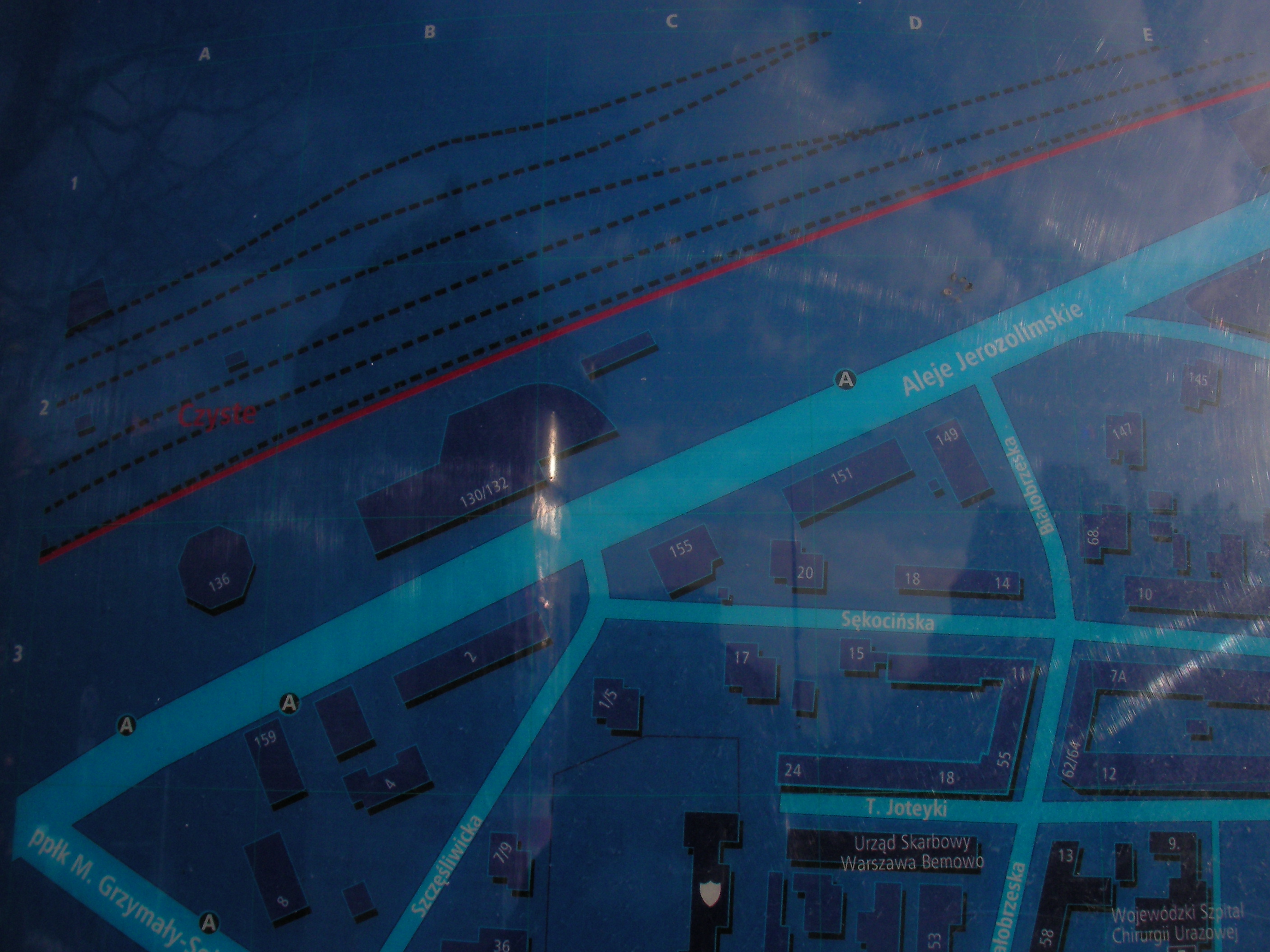
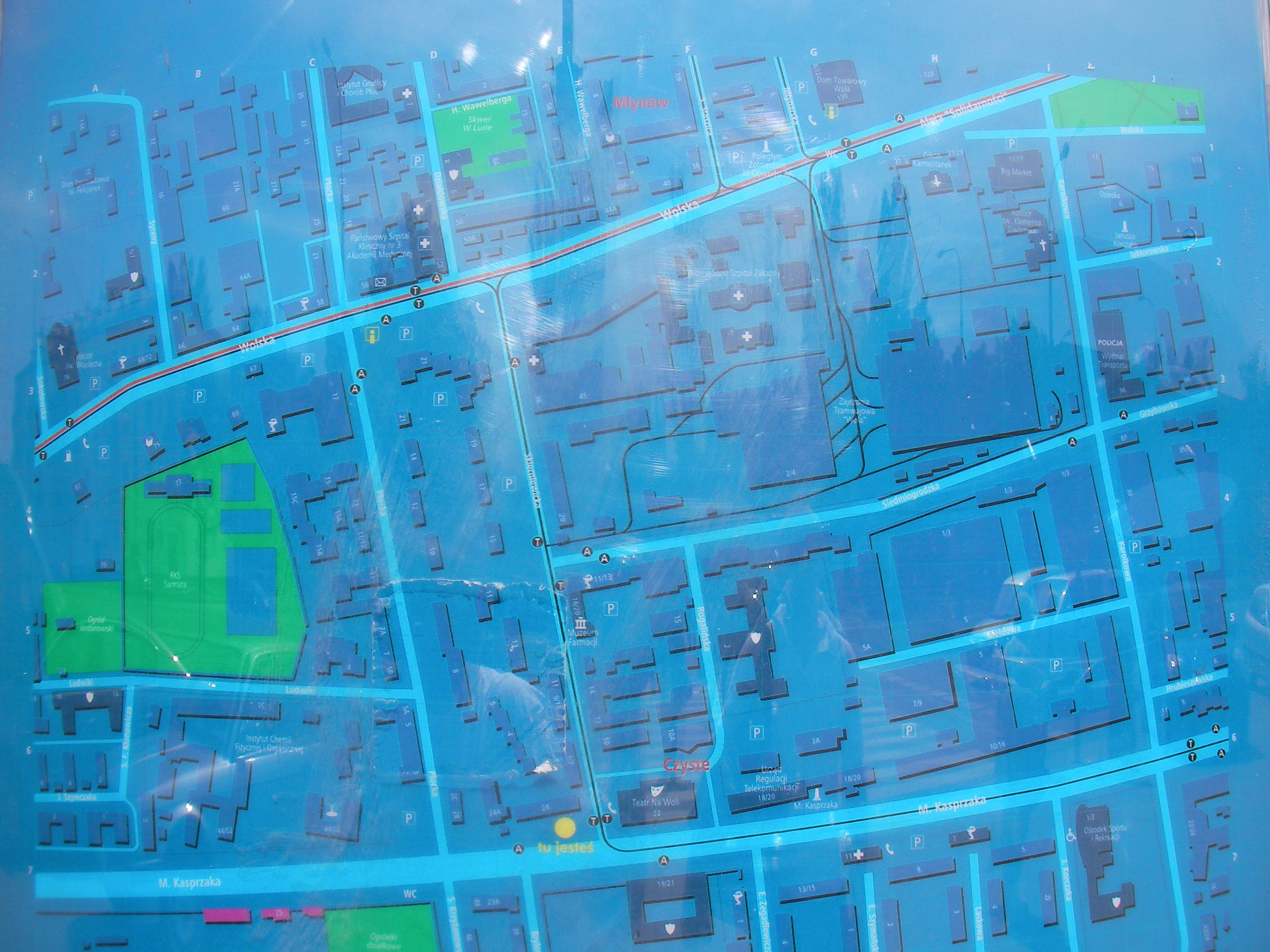
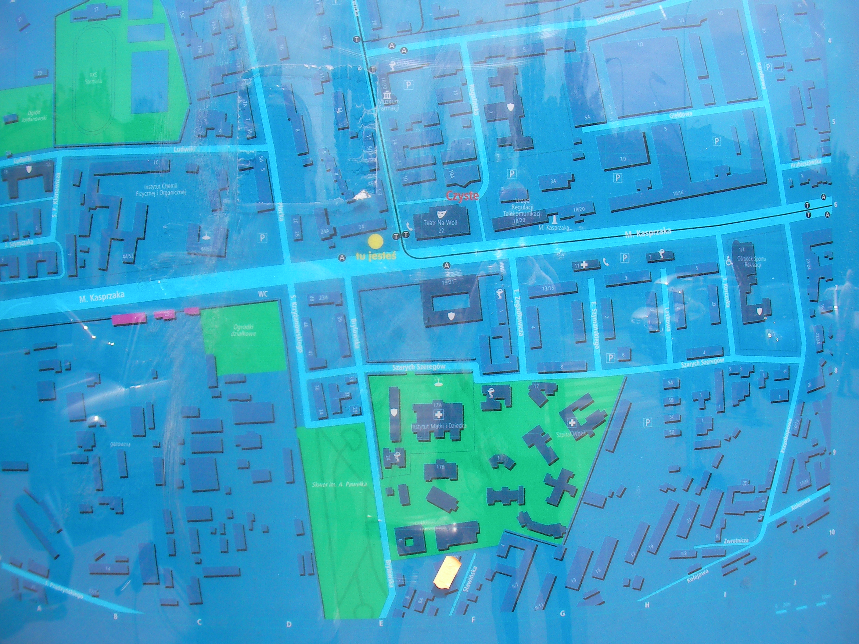
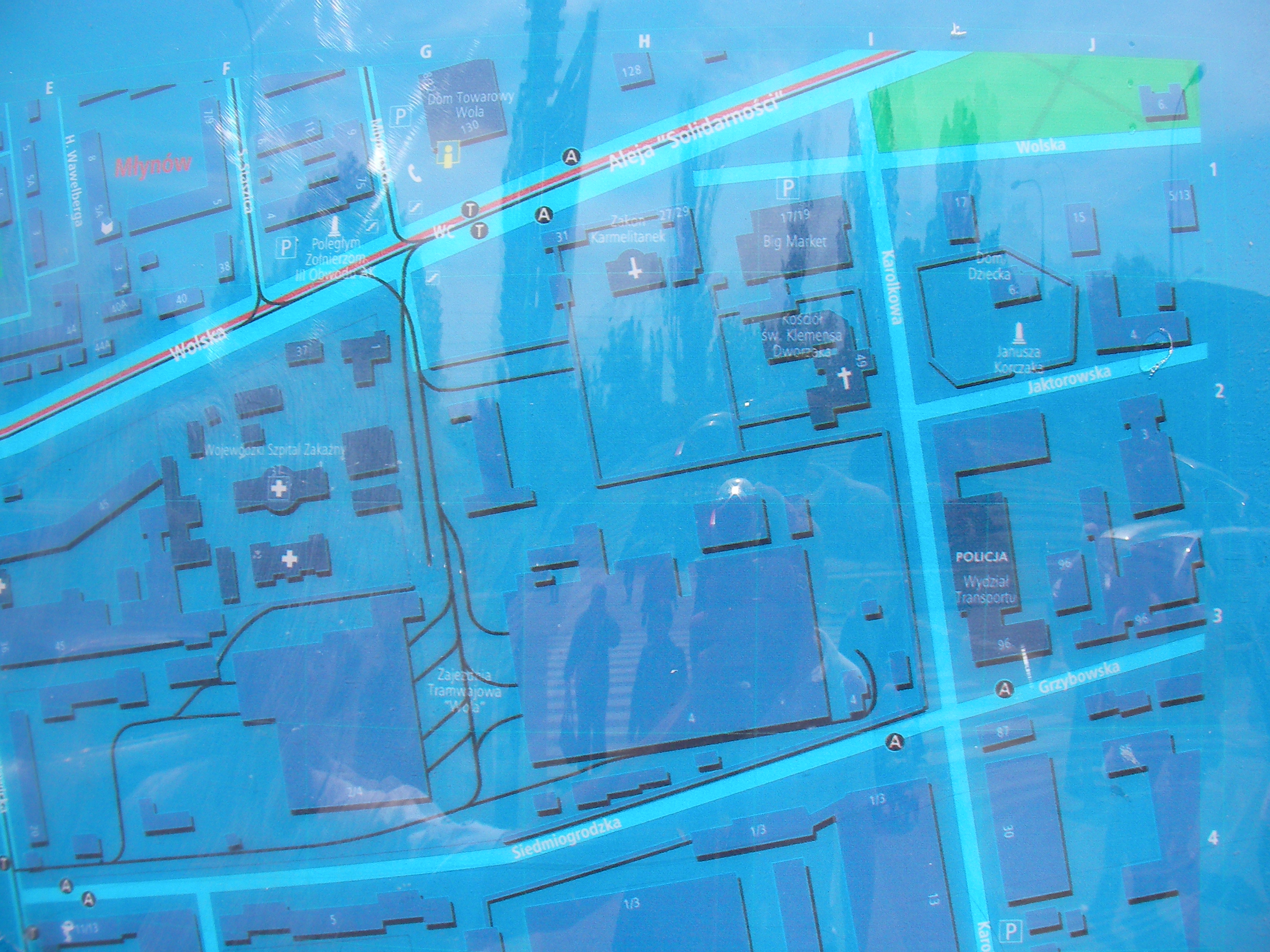
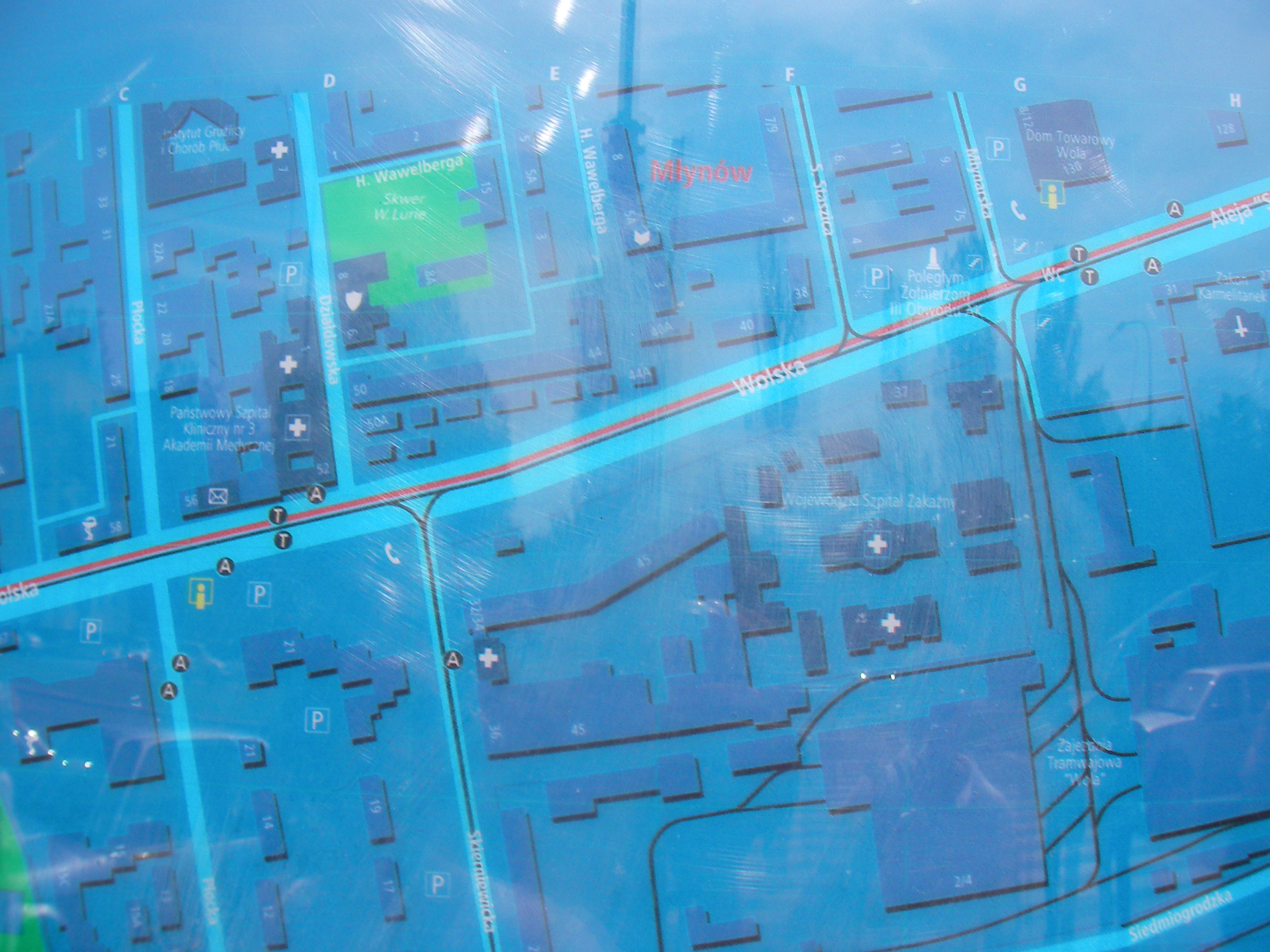
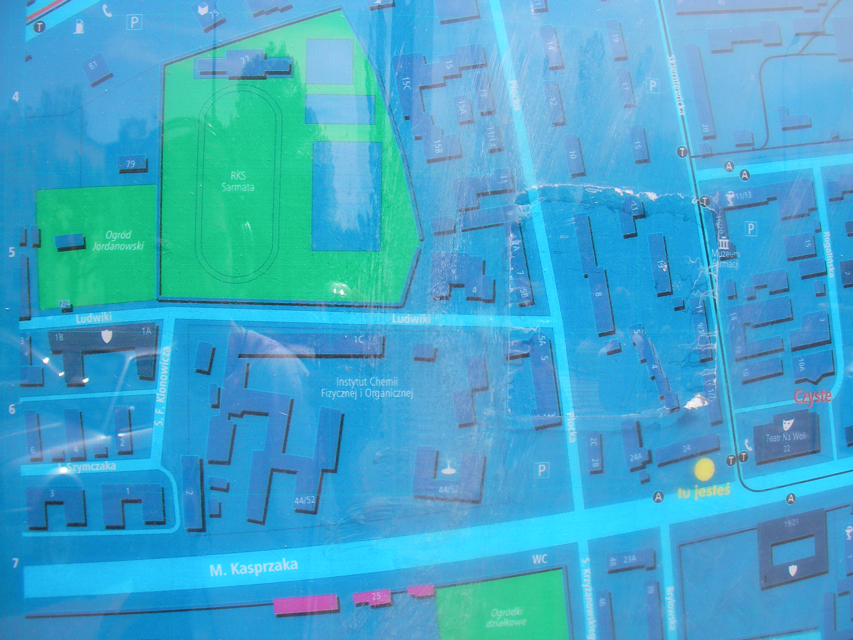
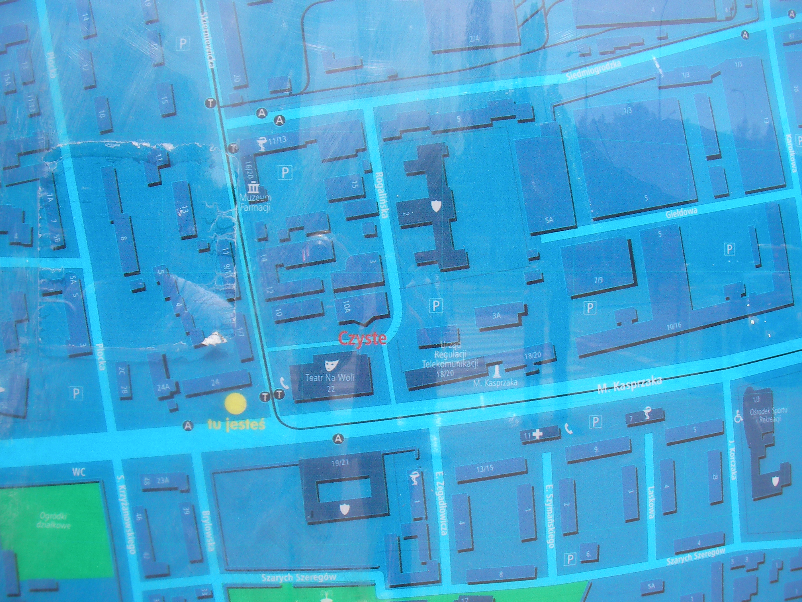
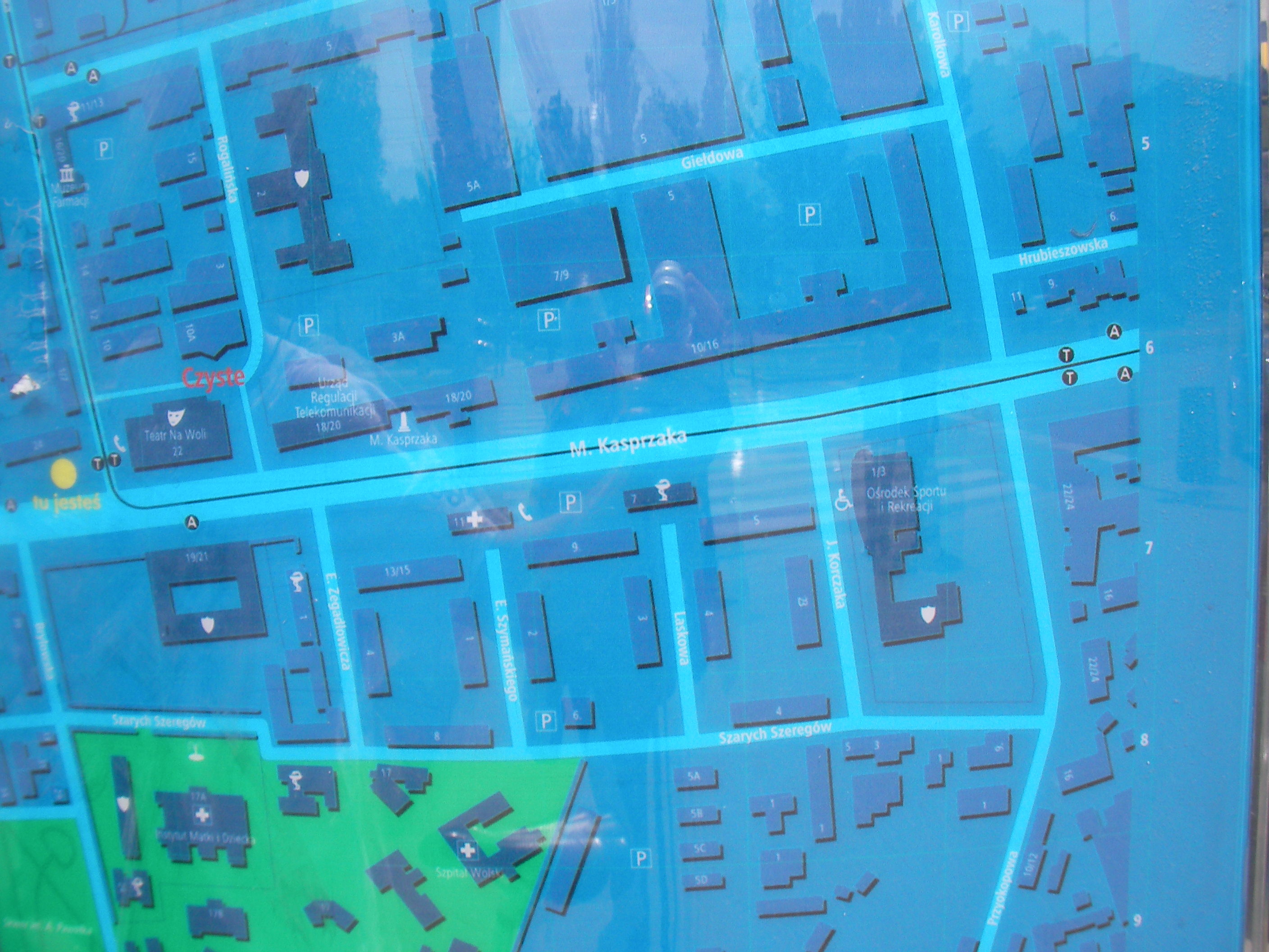
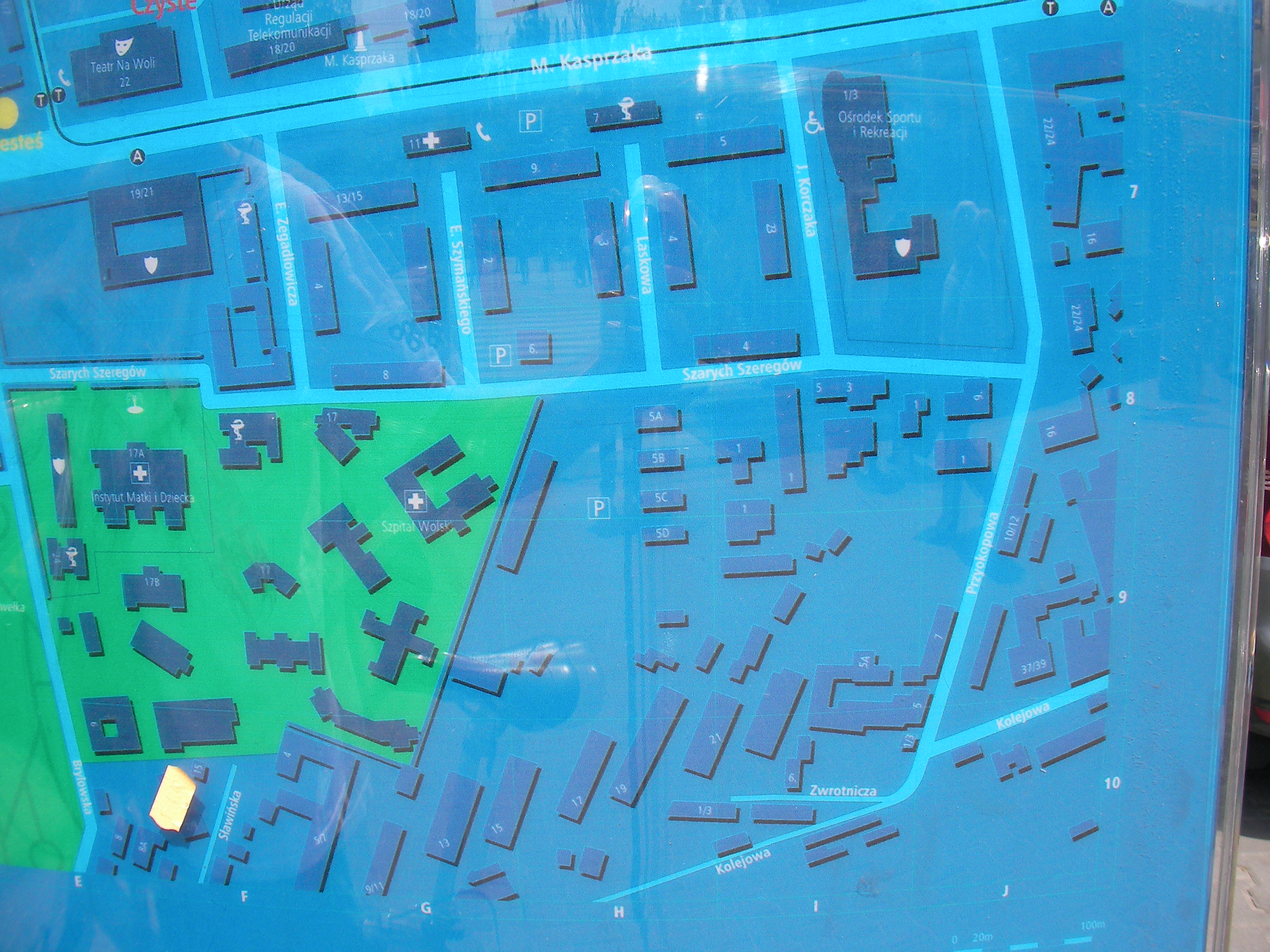
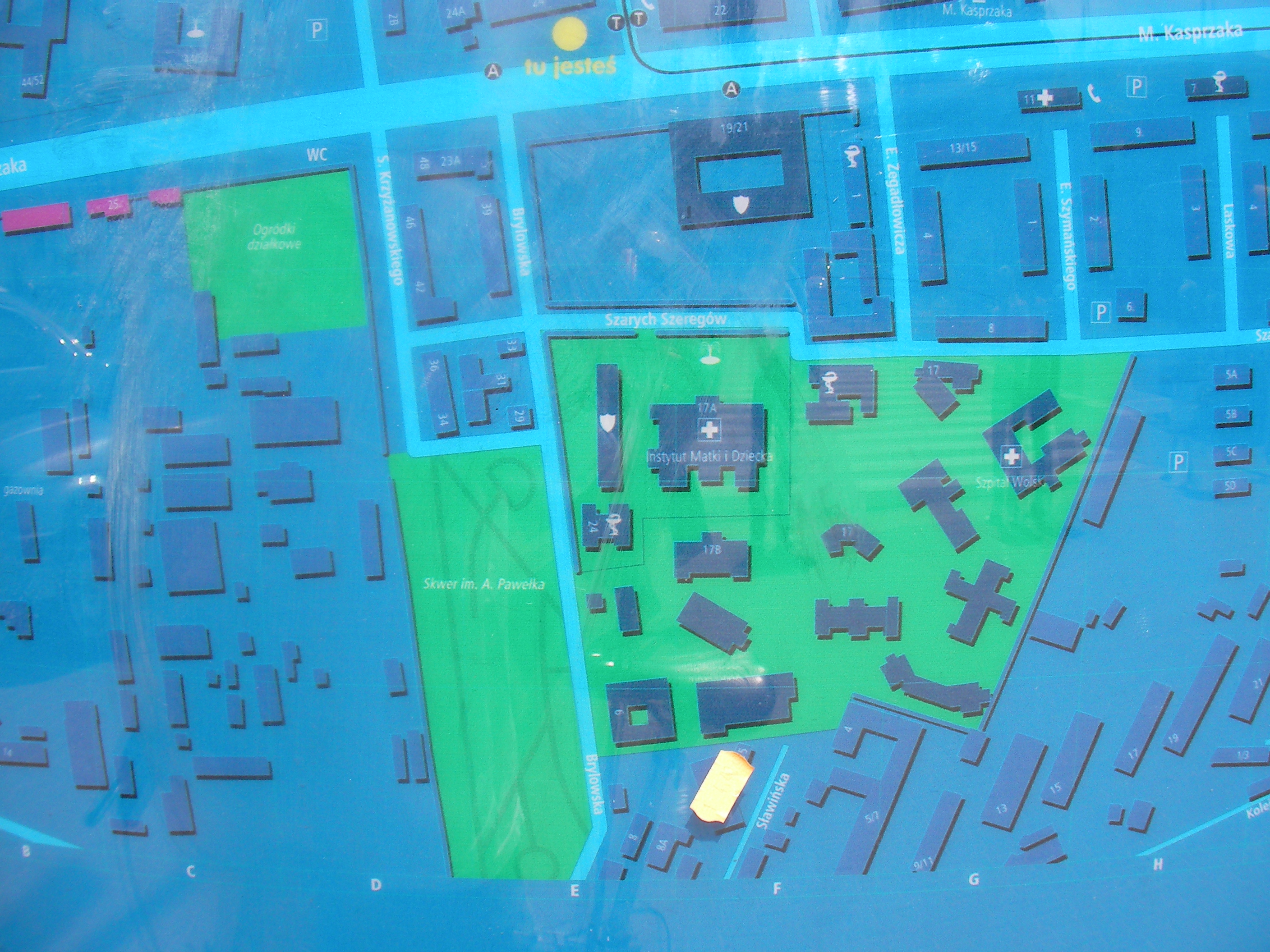
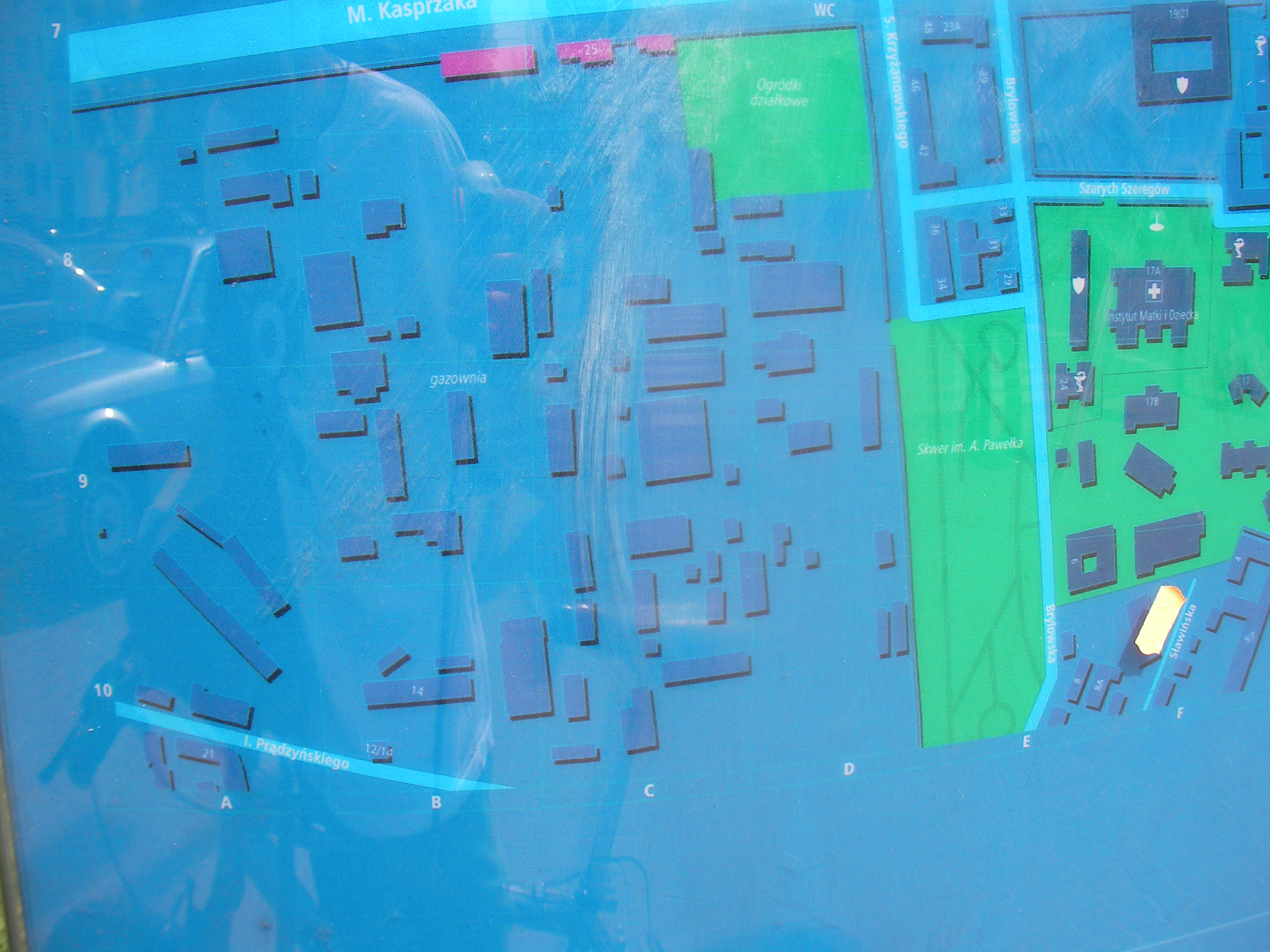
Czyste
North side of Kasprzaka street, near the meeting with Skierniewicka. Approximate location.
- Top half, Bottom half, Top-right, Top, Top-left, Left, Middle, Right, Bottom-right, Bottom, Bottom-left, Map key (POIs).
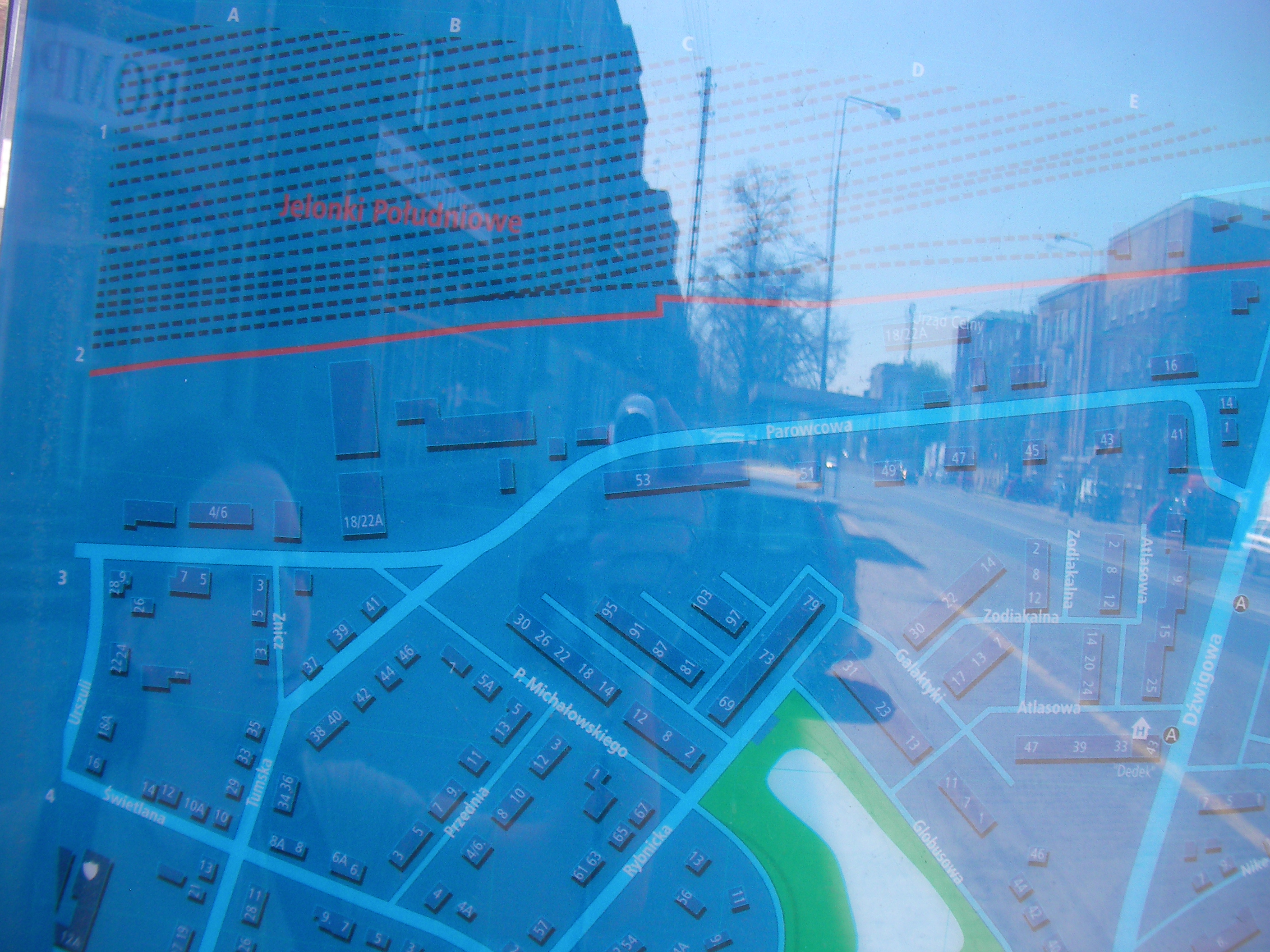
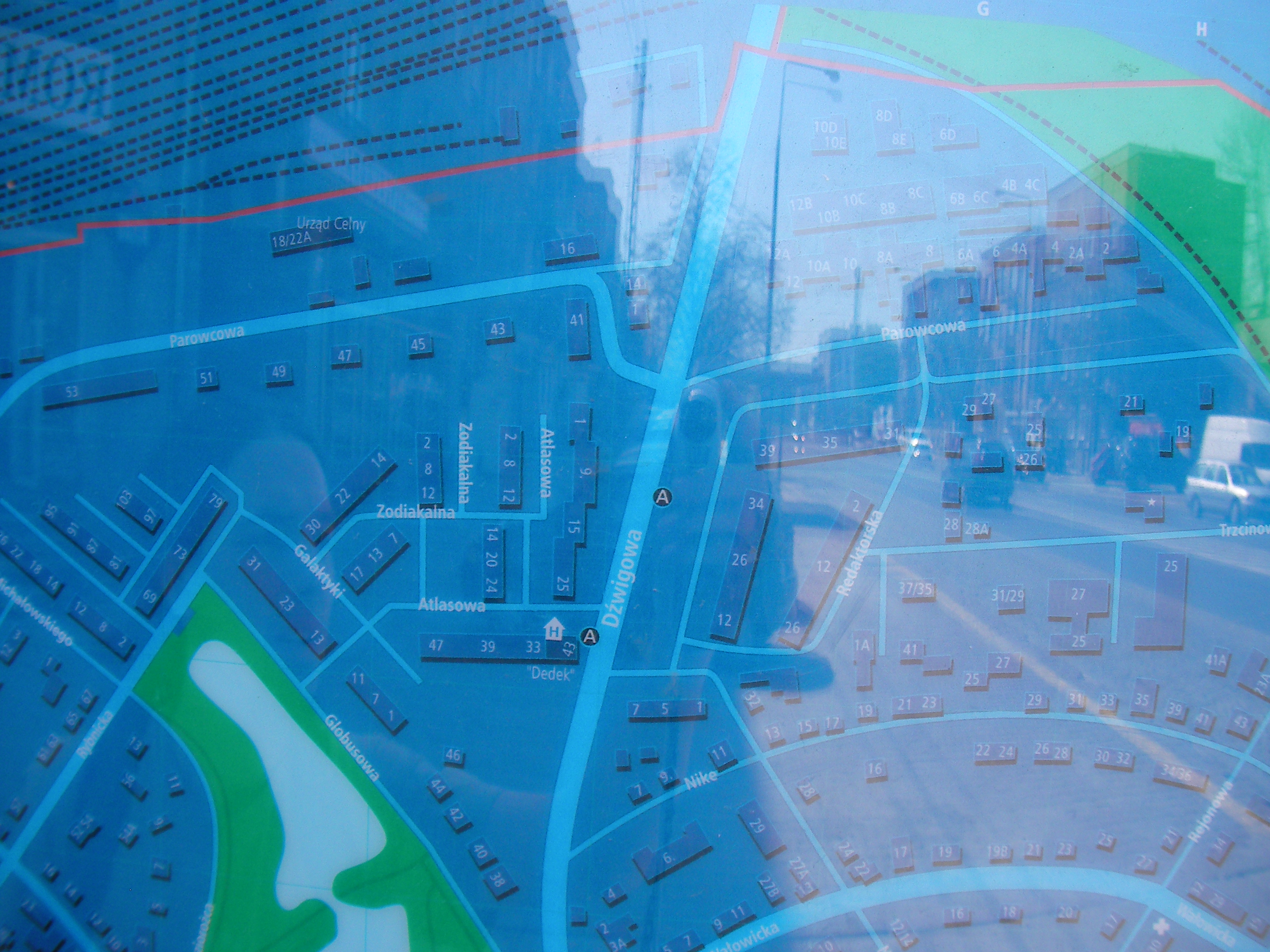
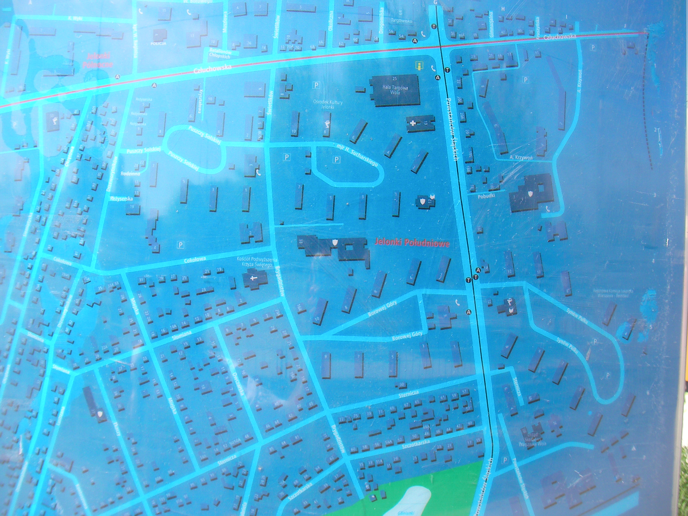
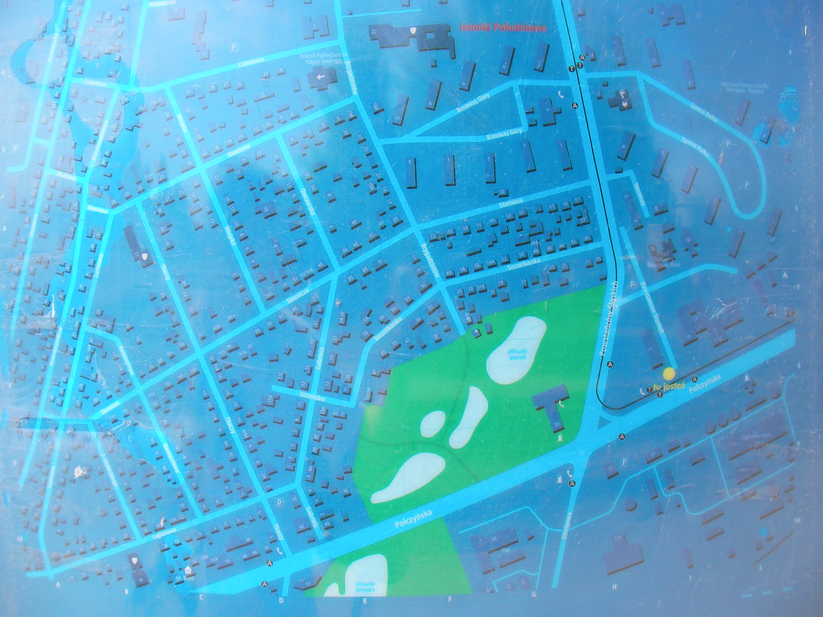
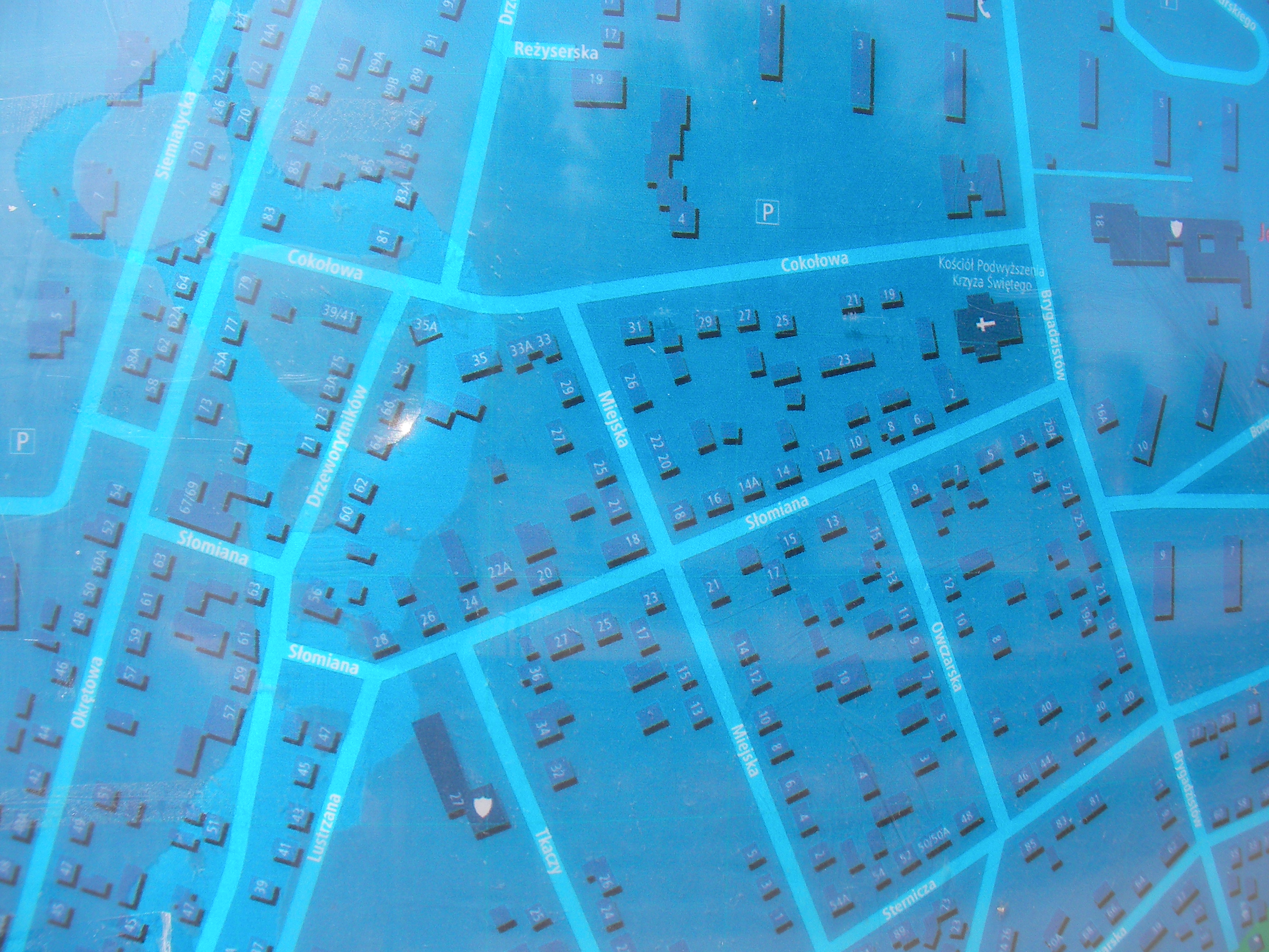
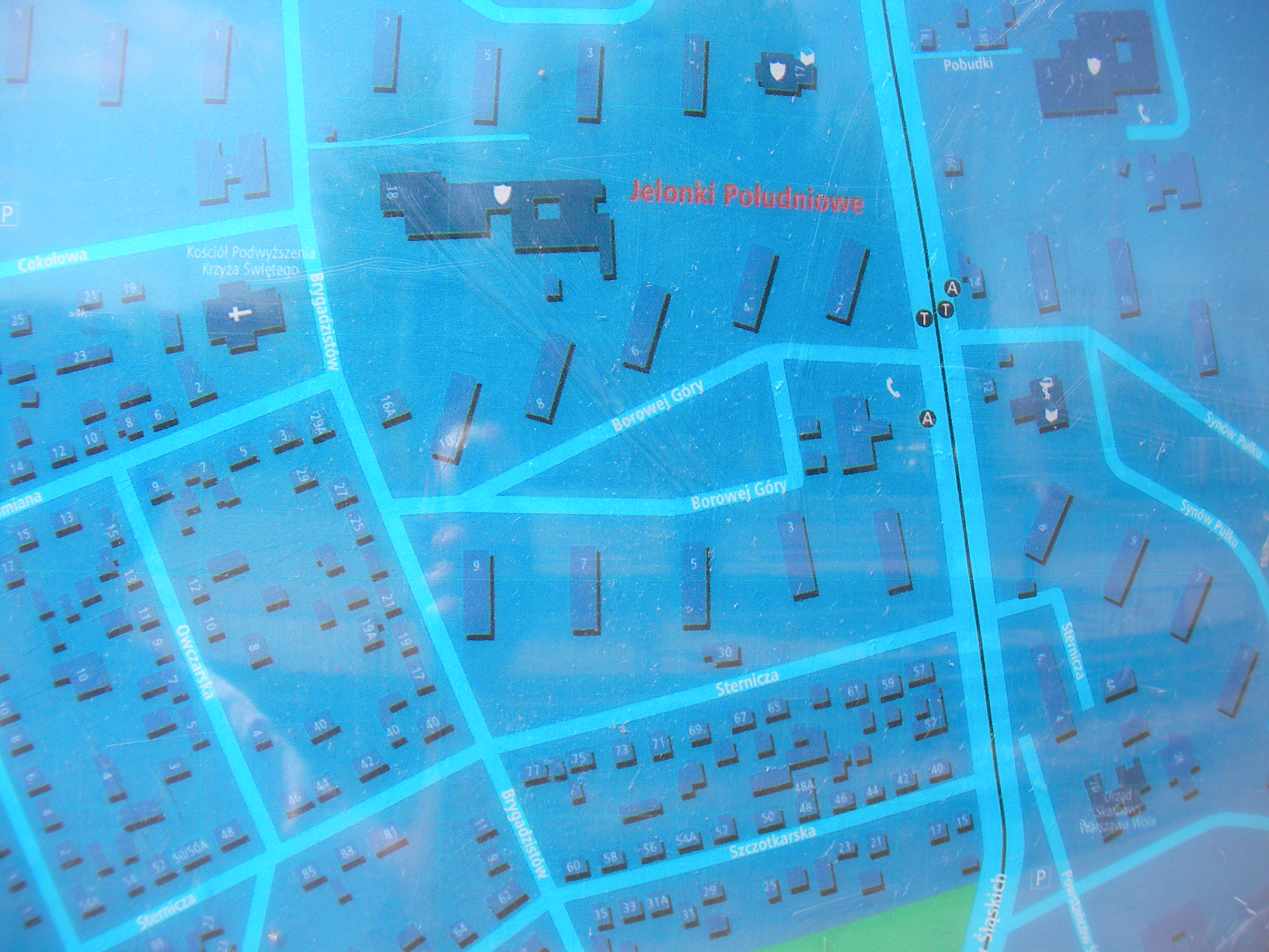
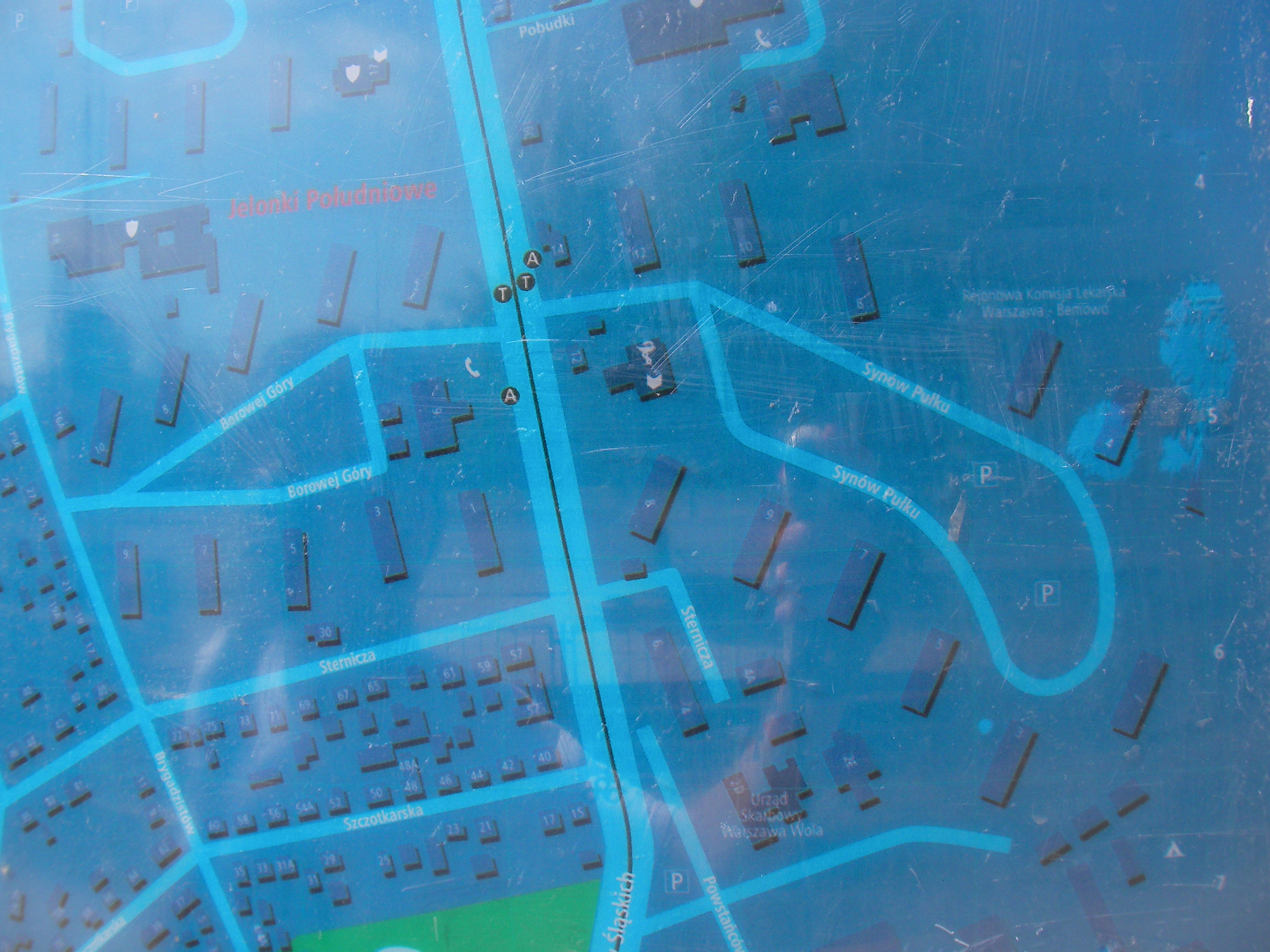
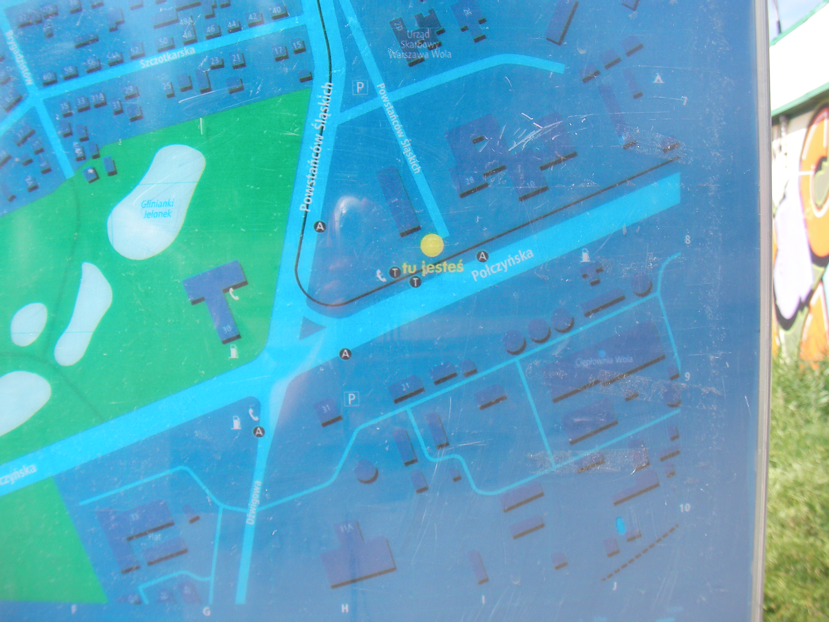
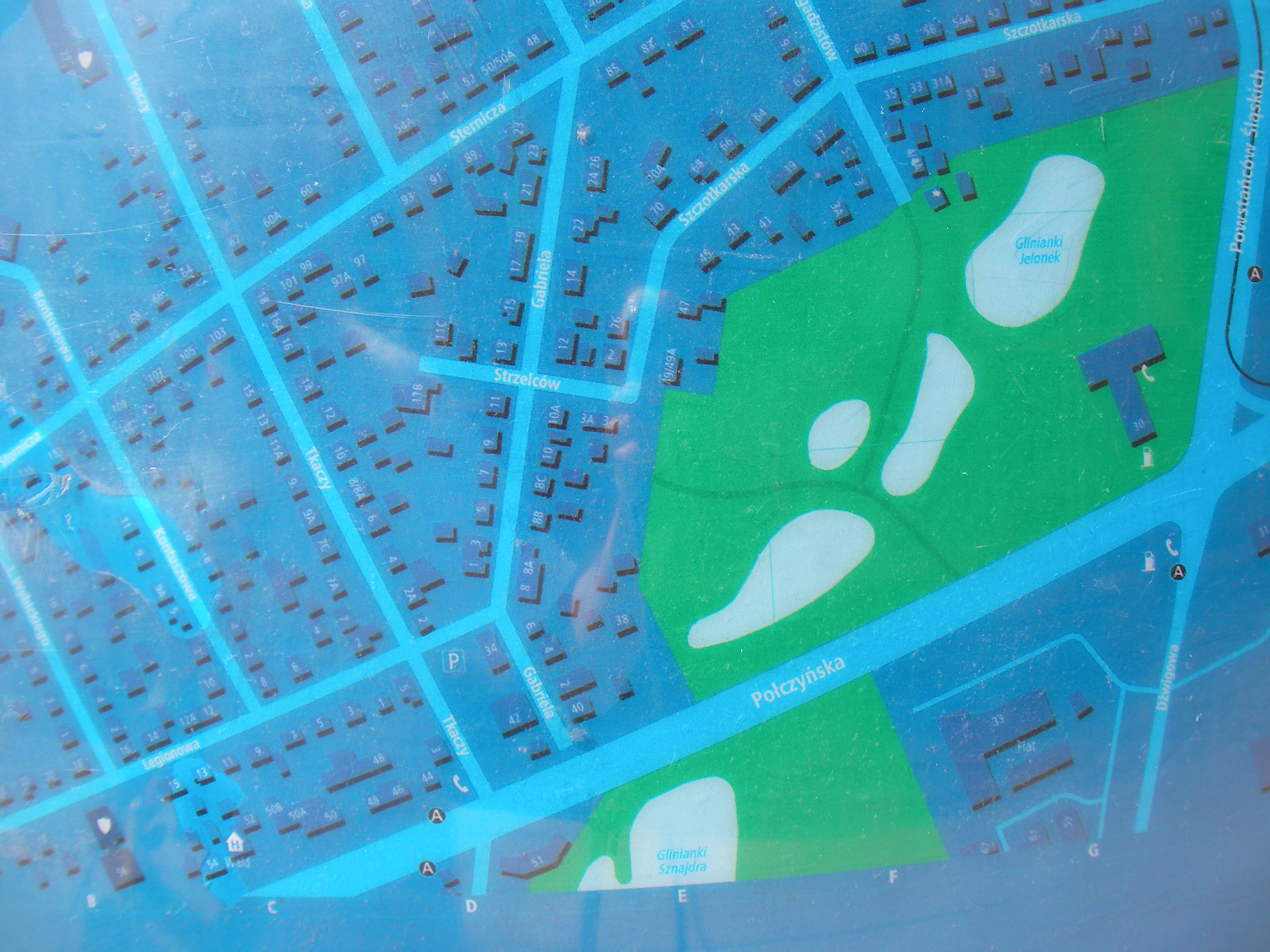
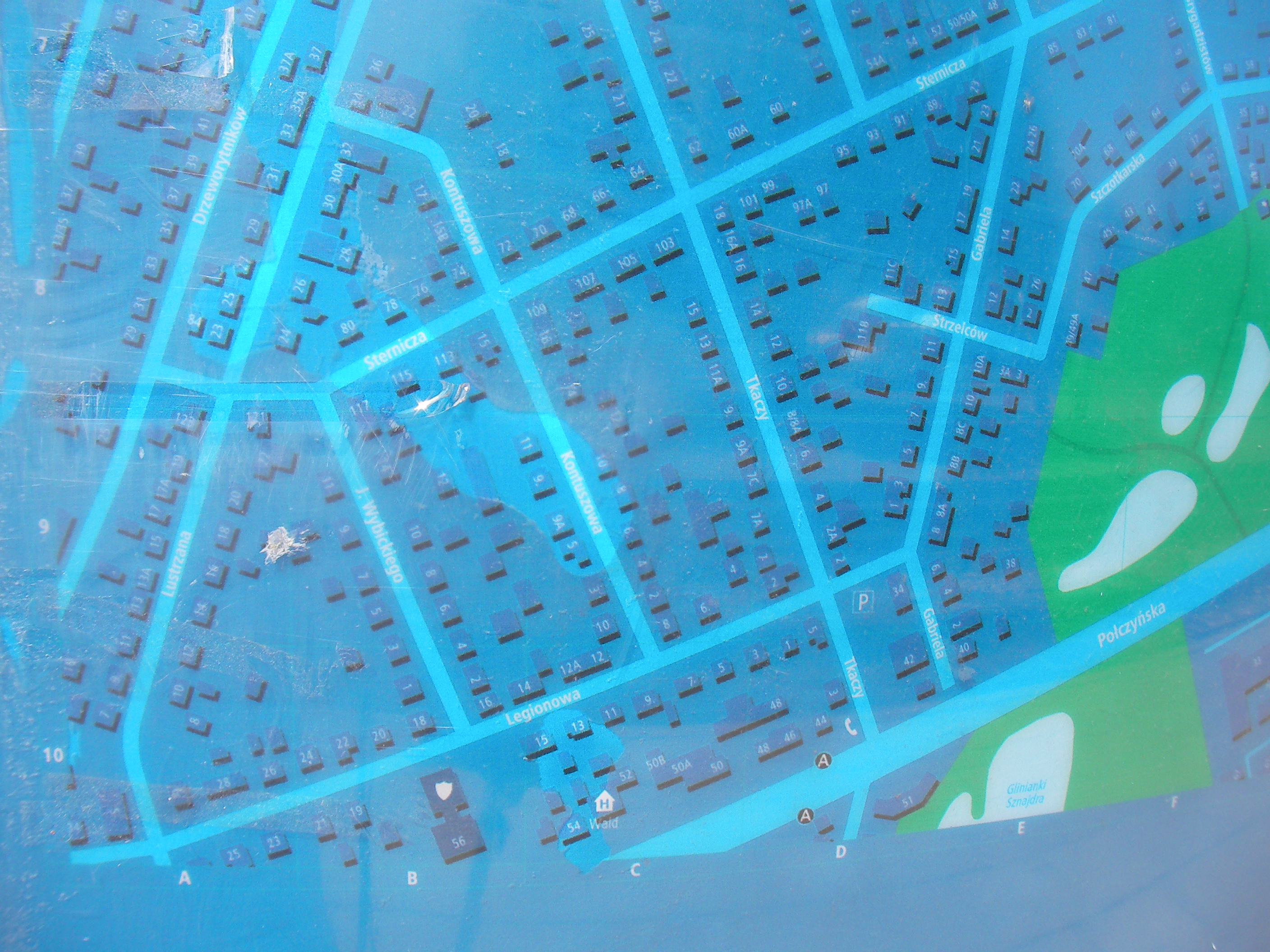
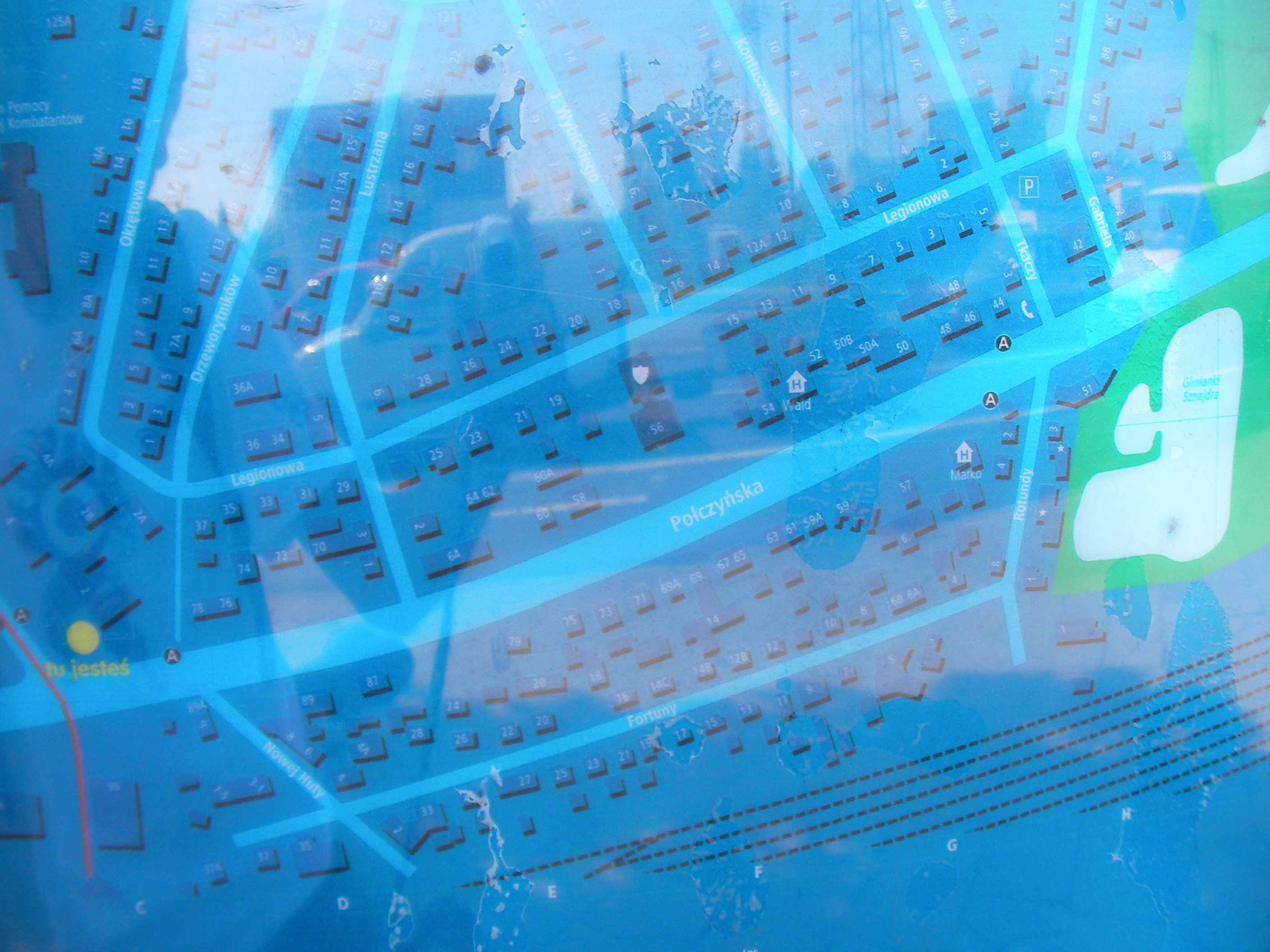
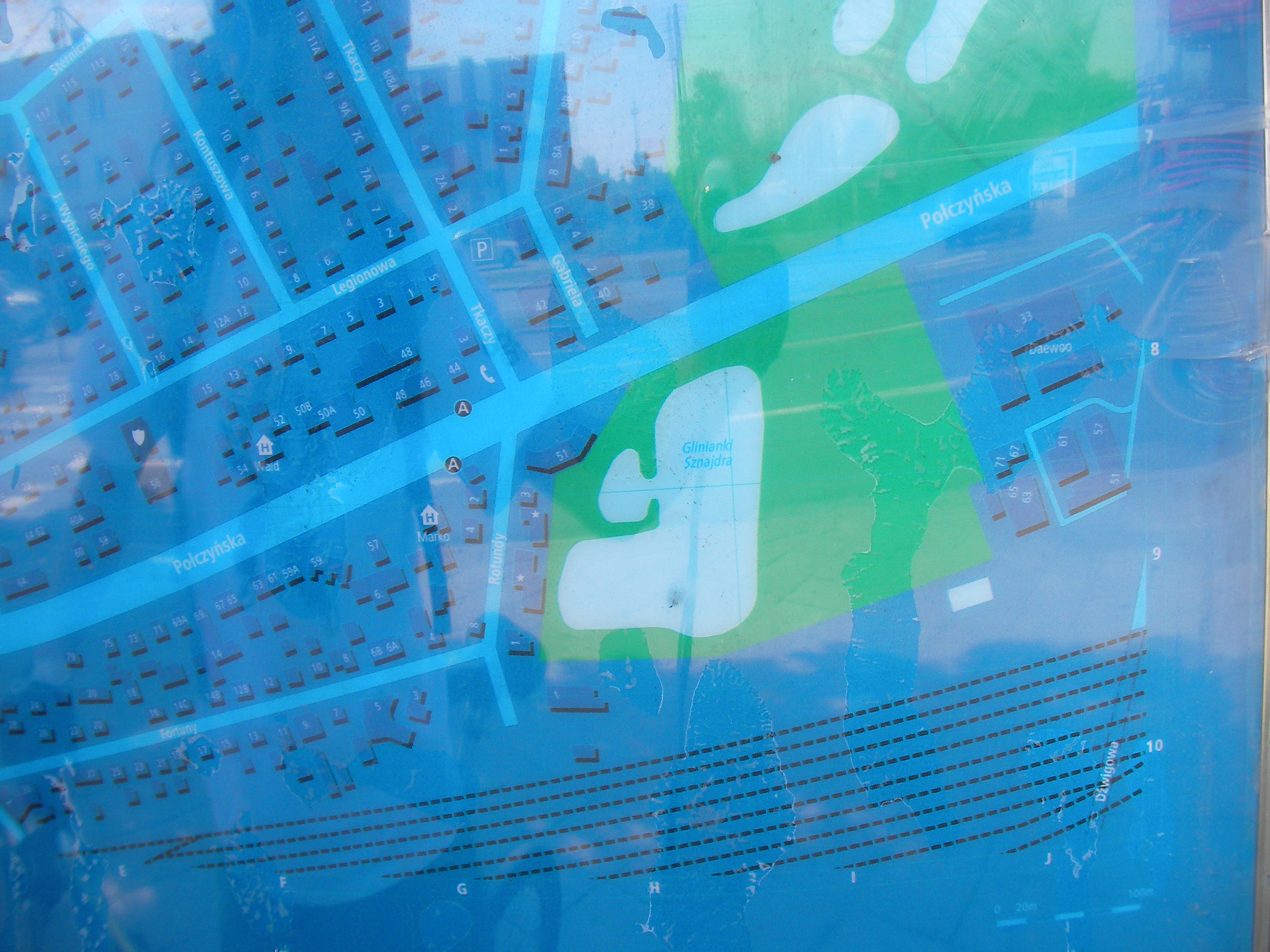
Połczyńska (Jelonki)
At a tram stop near the crossing of Połczyńska and Powstańców Śląskich / Dzwigowa. Approximate location.
- Top half, Bottom half, Top-right, Top, Top-left, Left, Middle, Right, Bottom-right, Bottom, Bottom-left, Map-key (POIs).
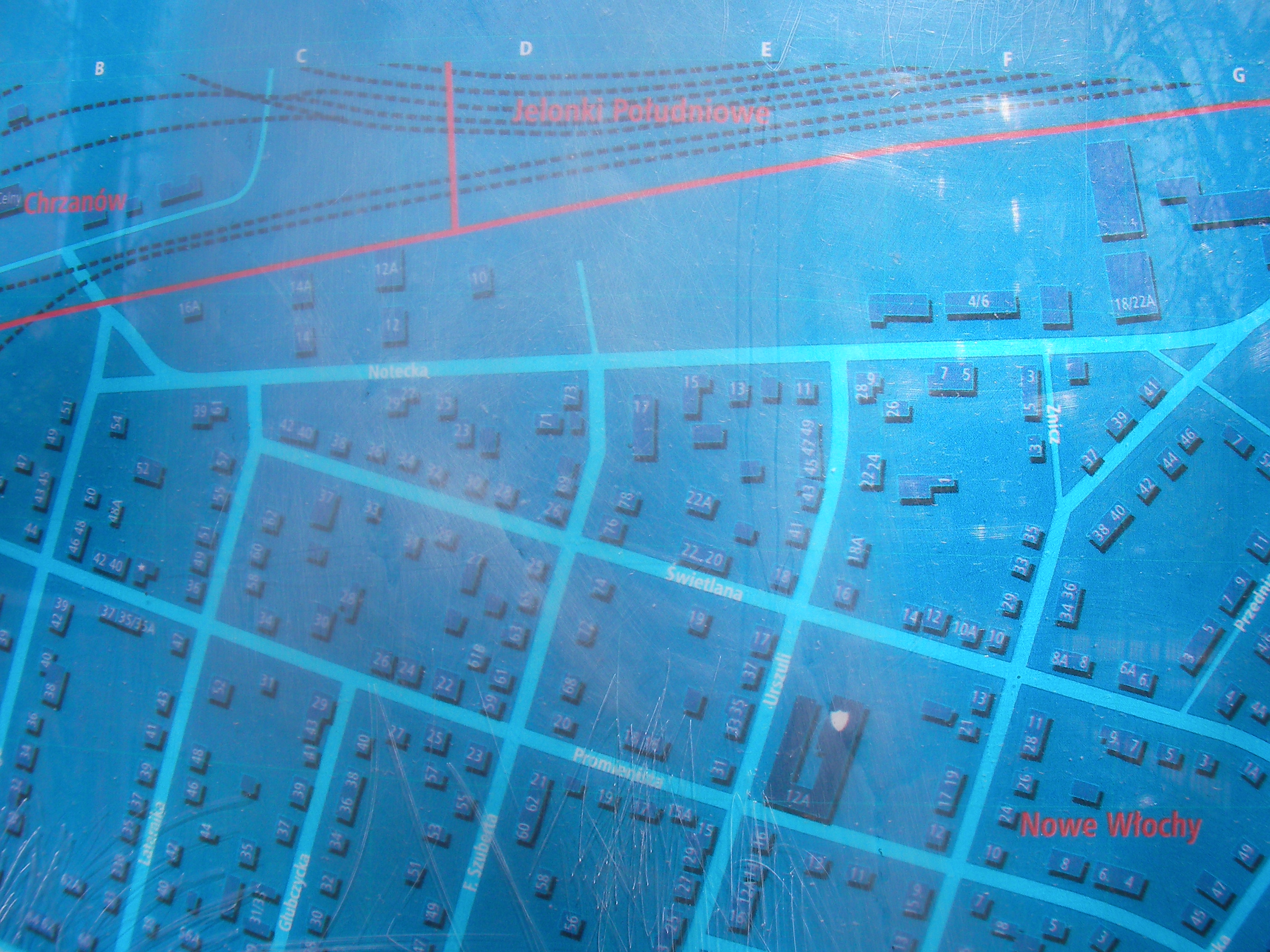
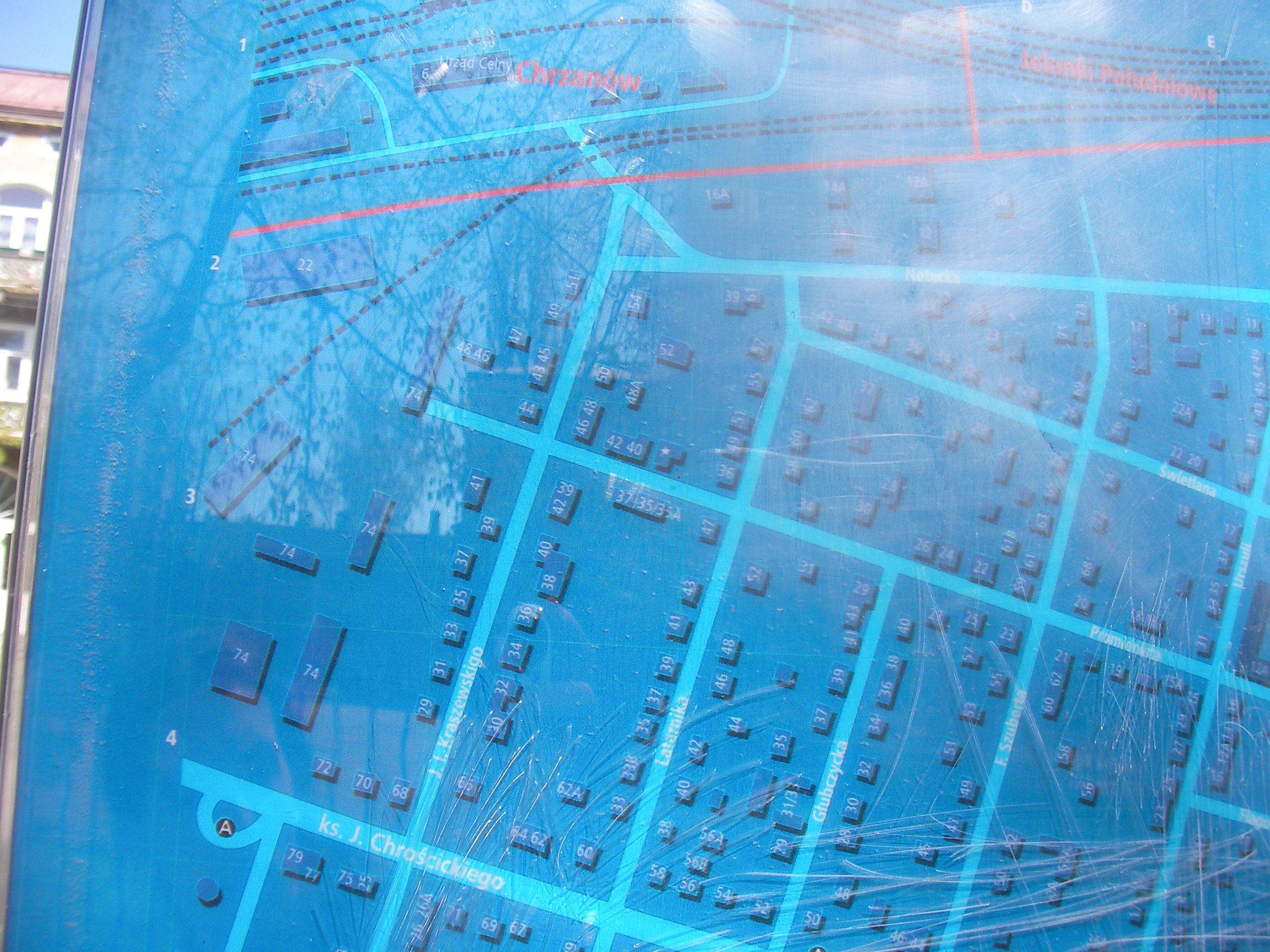
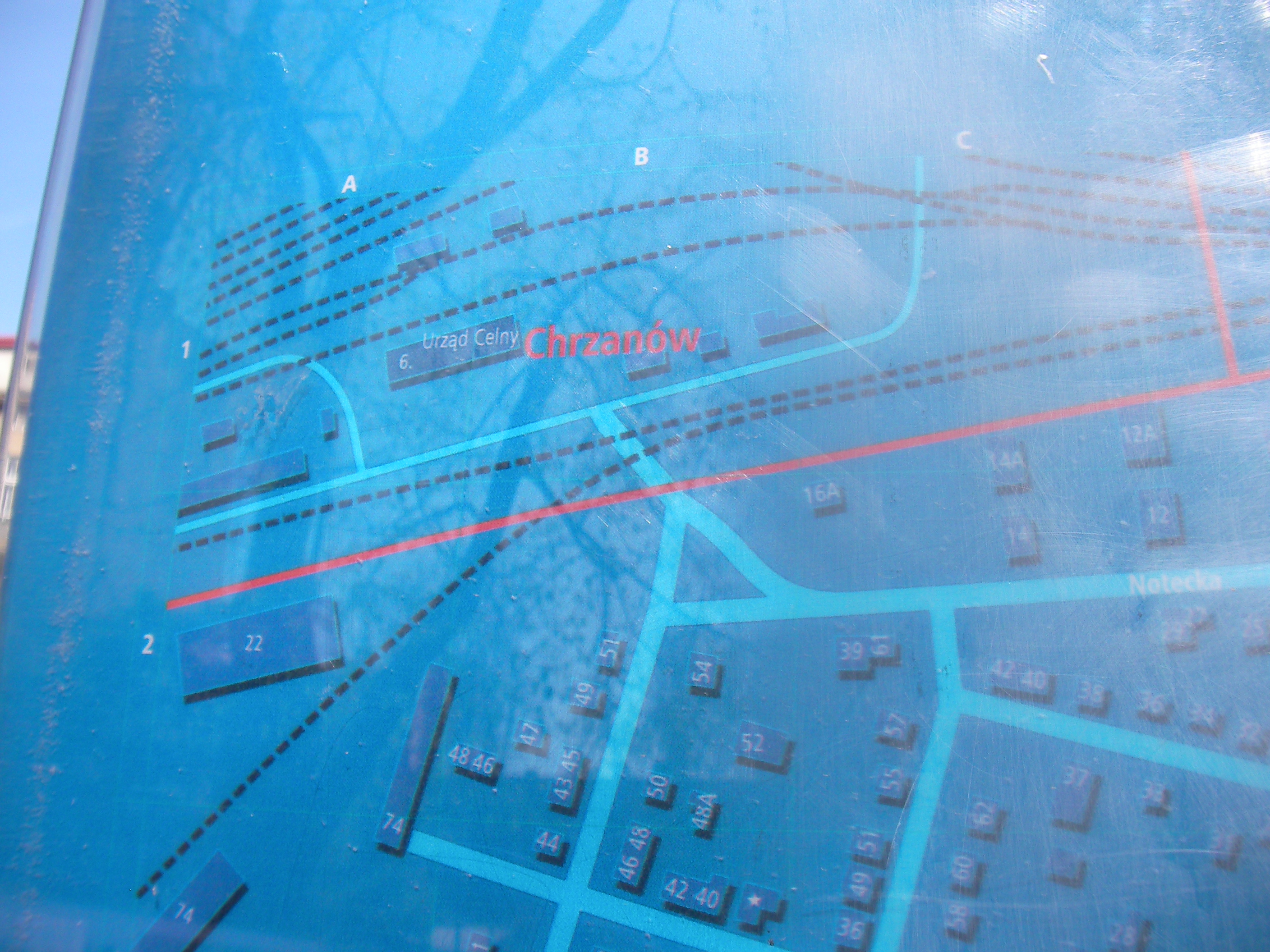
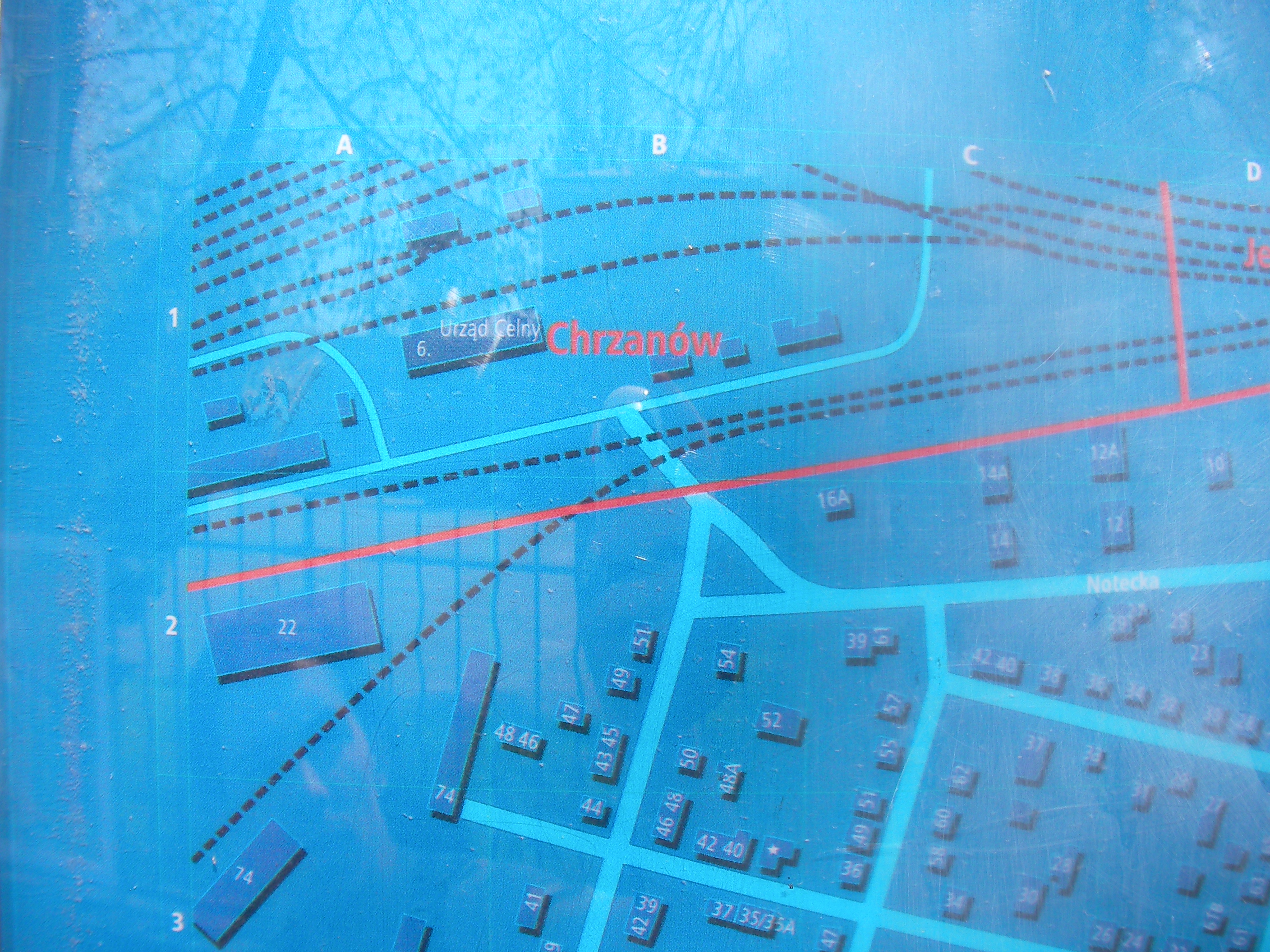
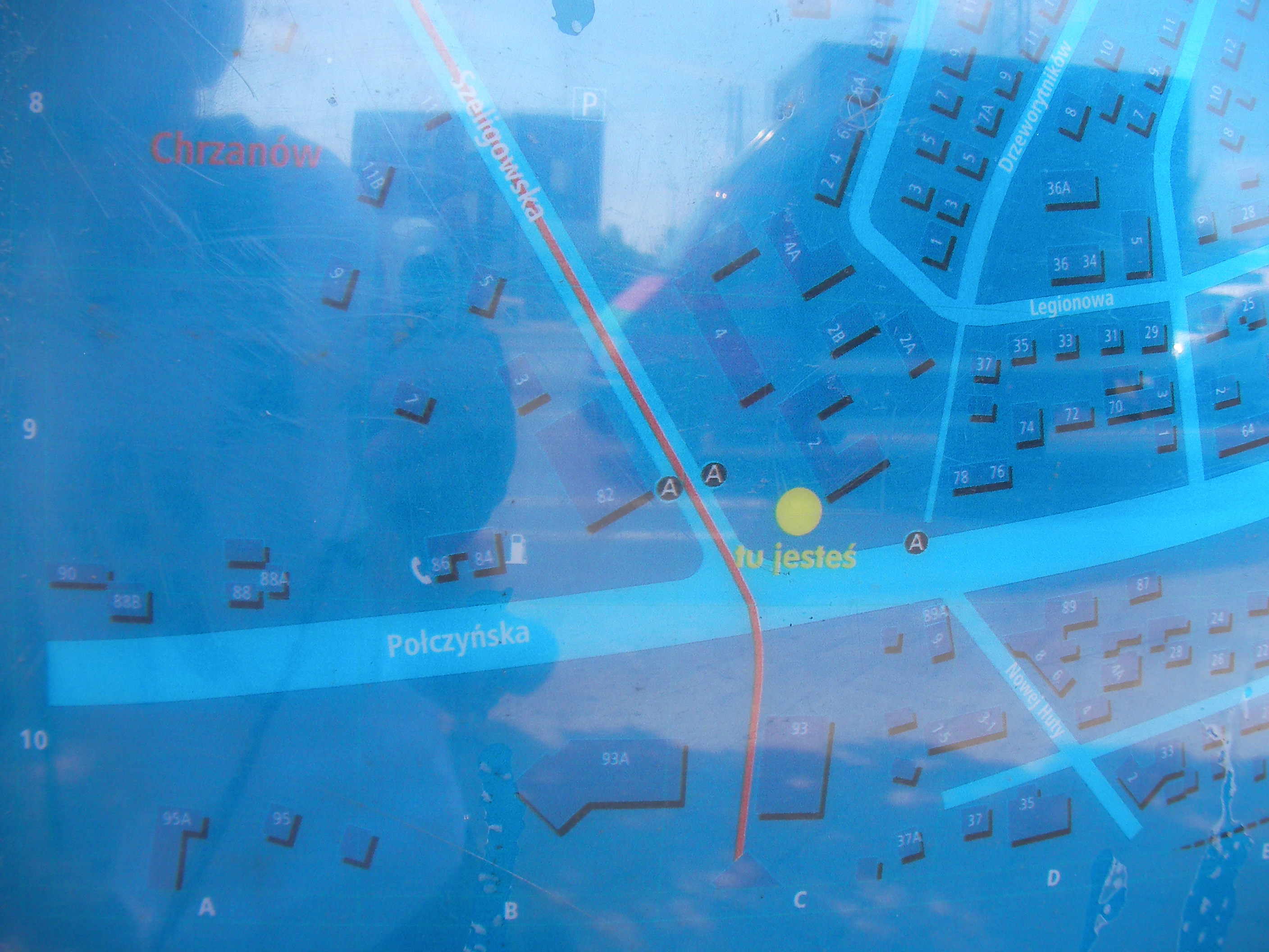
Połczyńska (Chrzanów)
Crossing between Połczyńska and Szeligowska. Approximate location.
- Top half, Bottom half, Bottom-left, Bottom, Bottom-right, Right, Middle, Left, Top-left, Top, Top-right, Top, Top-left, Map key (POIs).
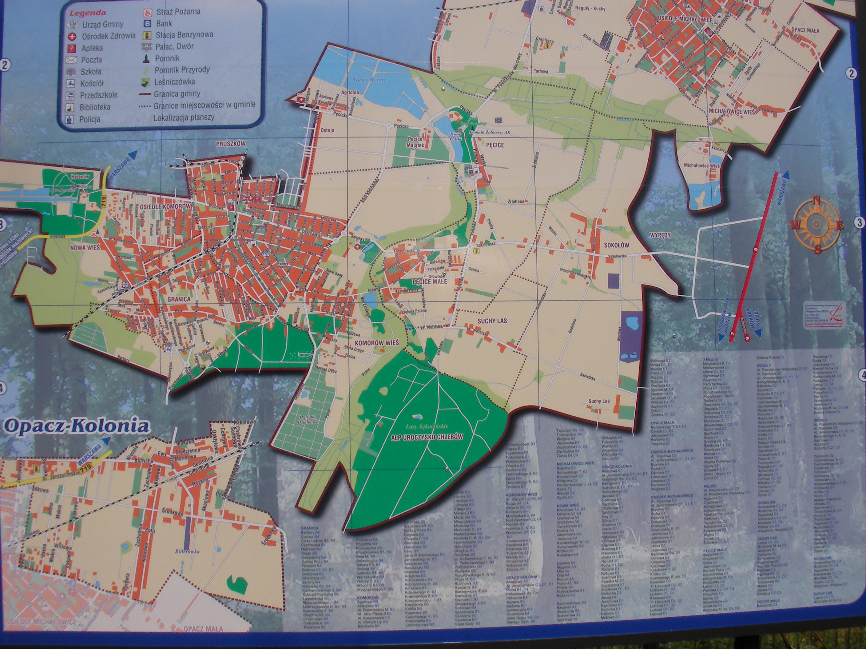
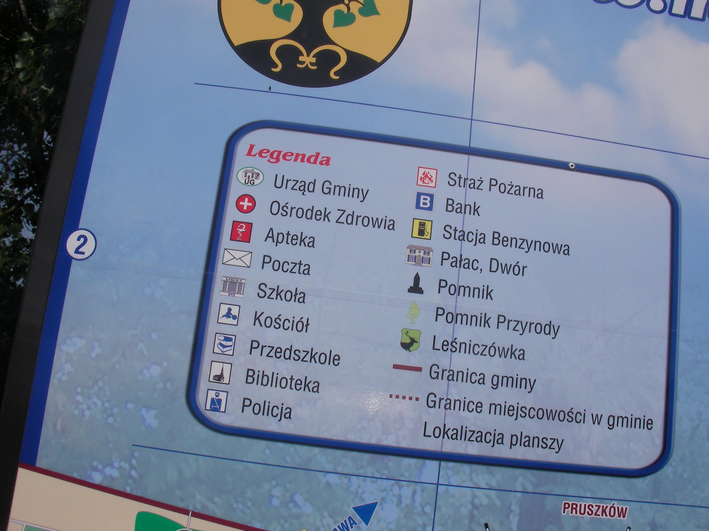
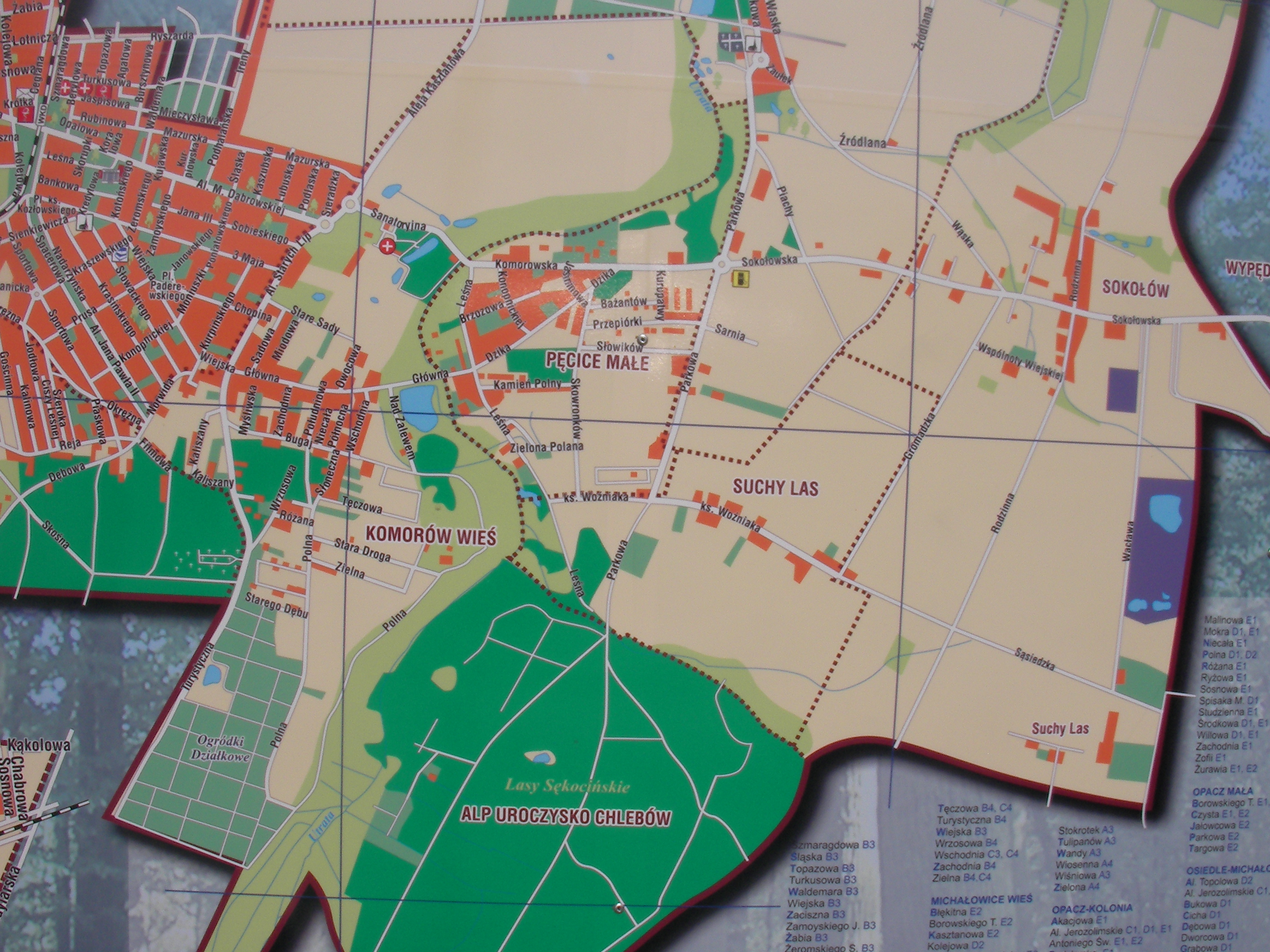
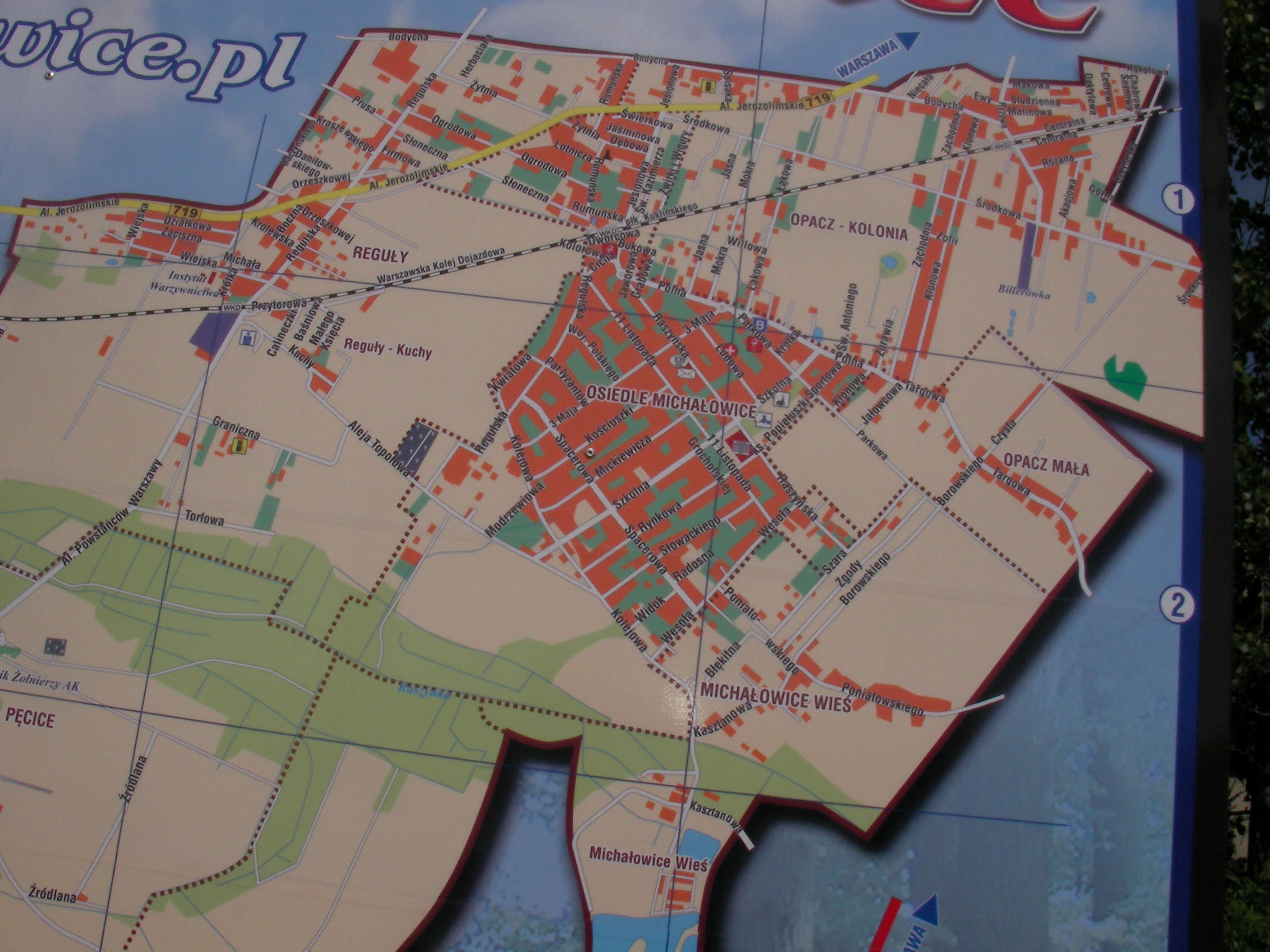
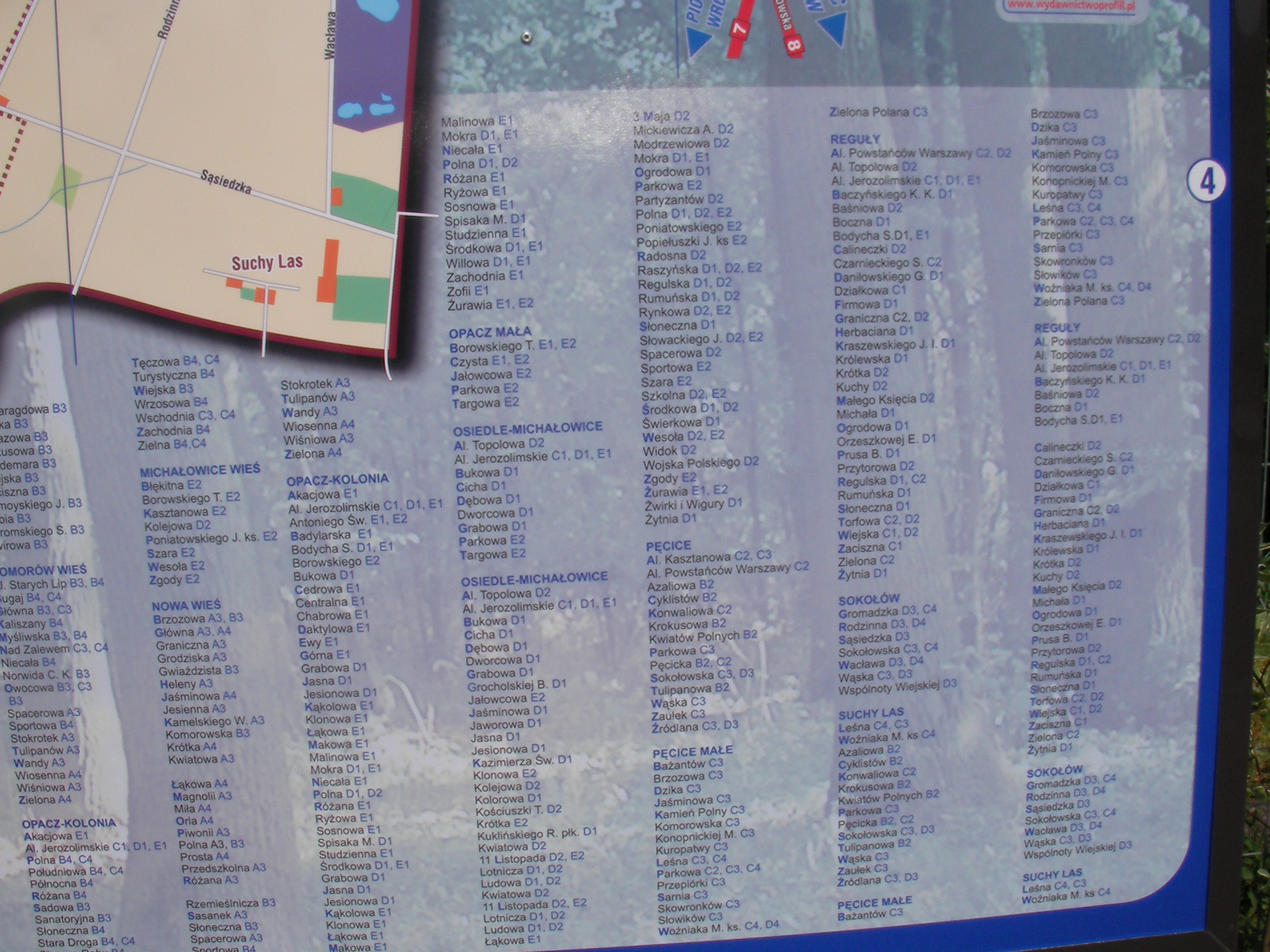
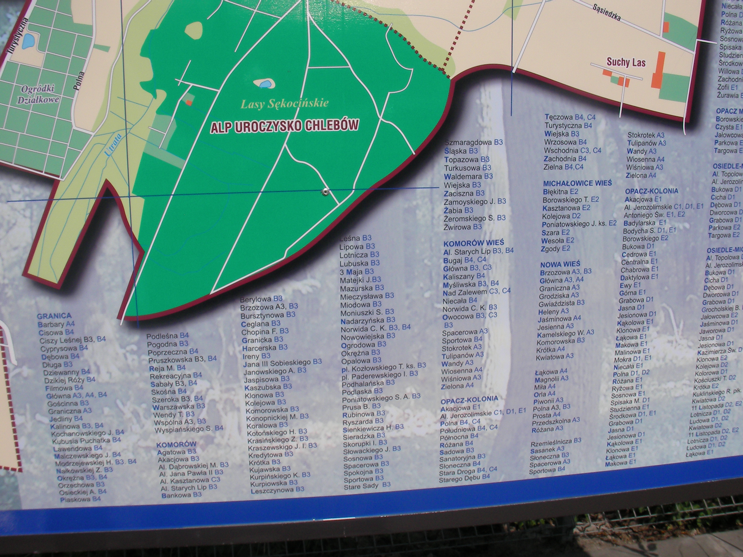
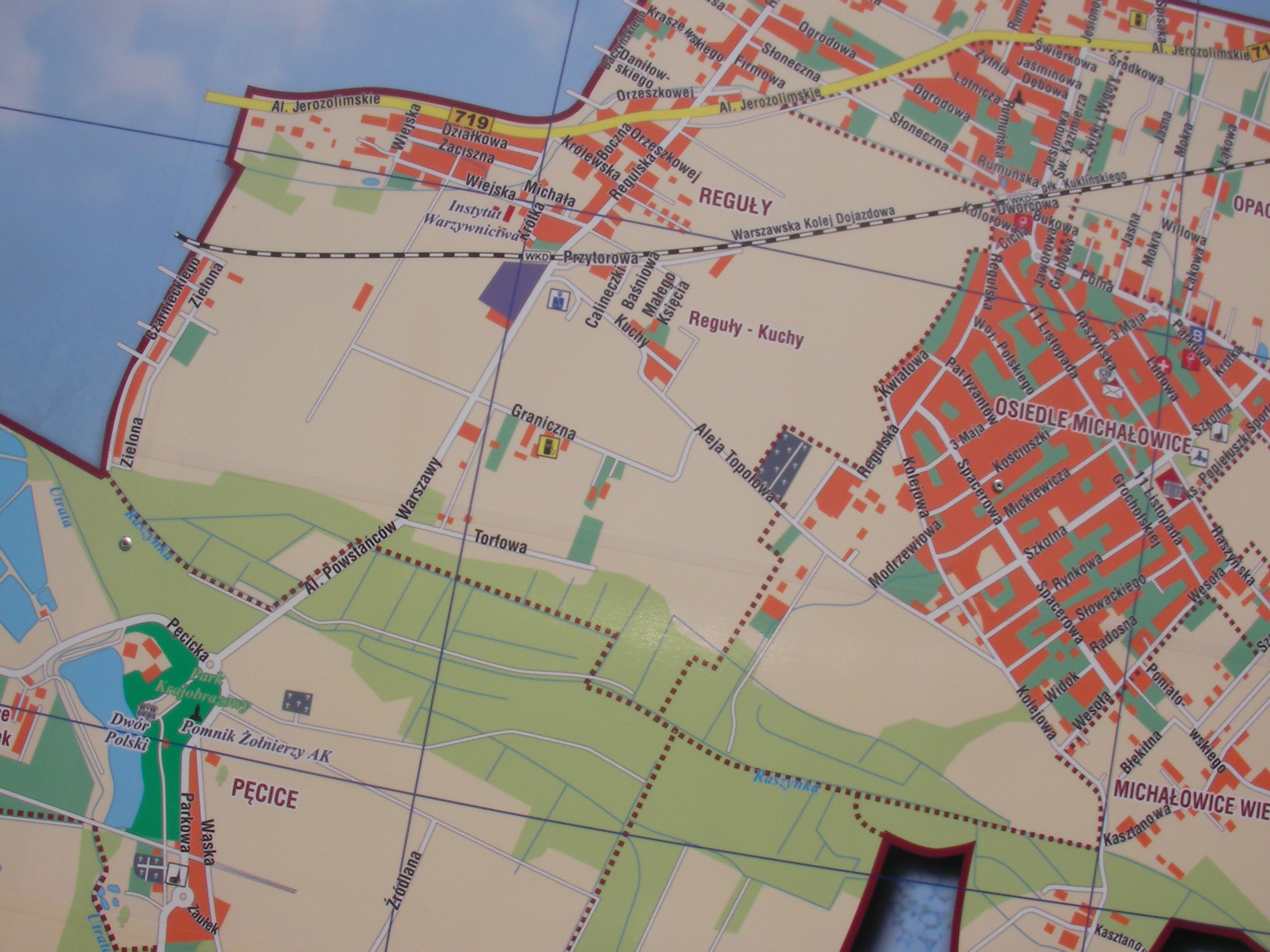
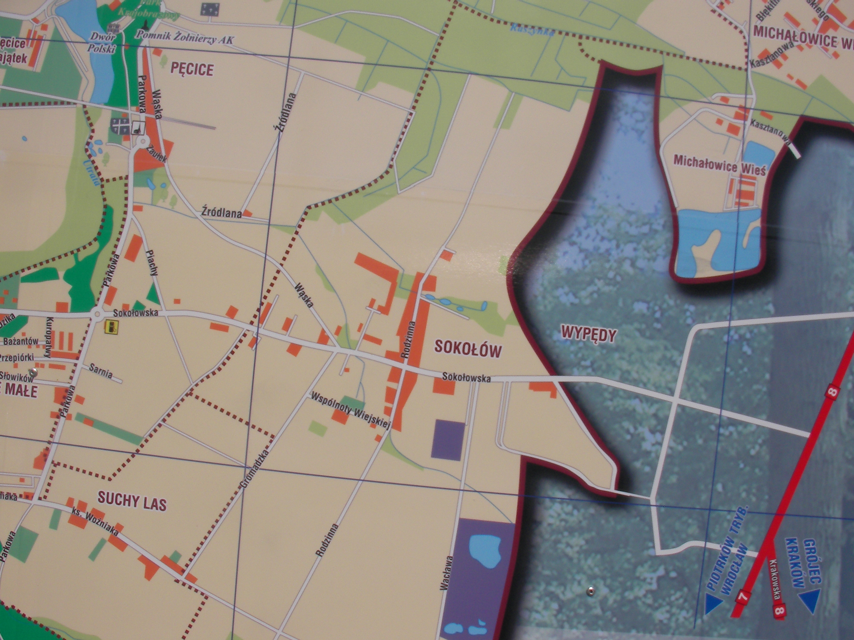
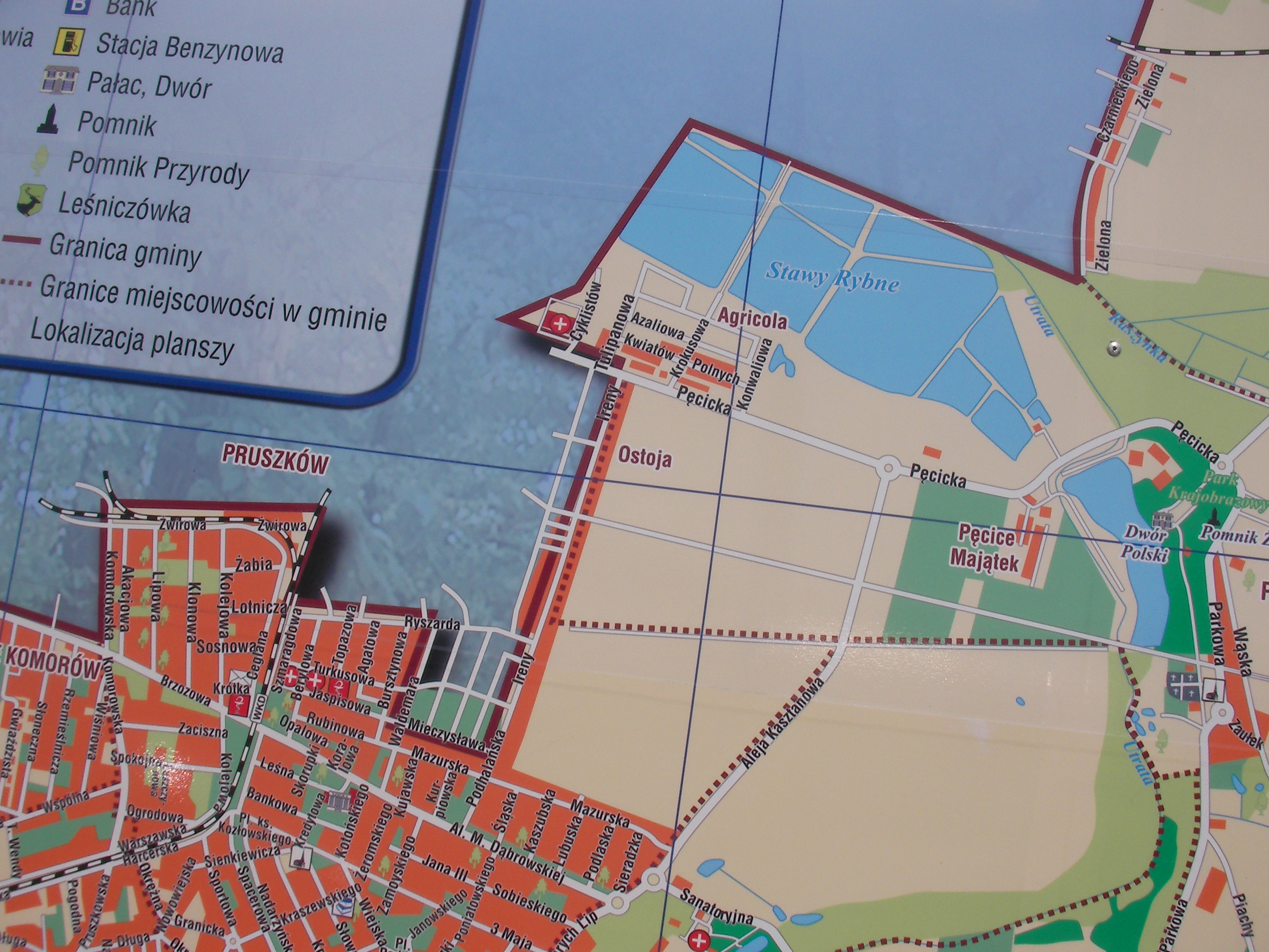
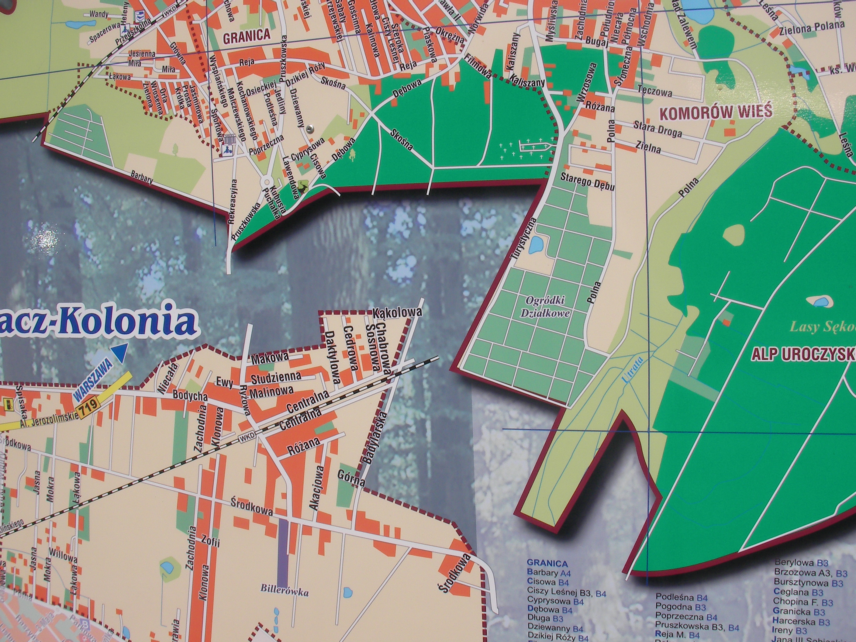
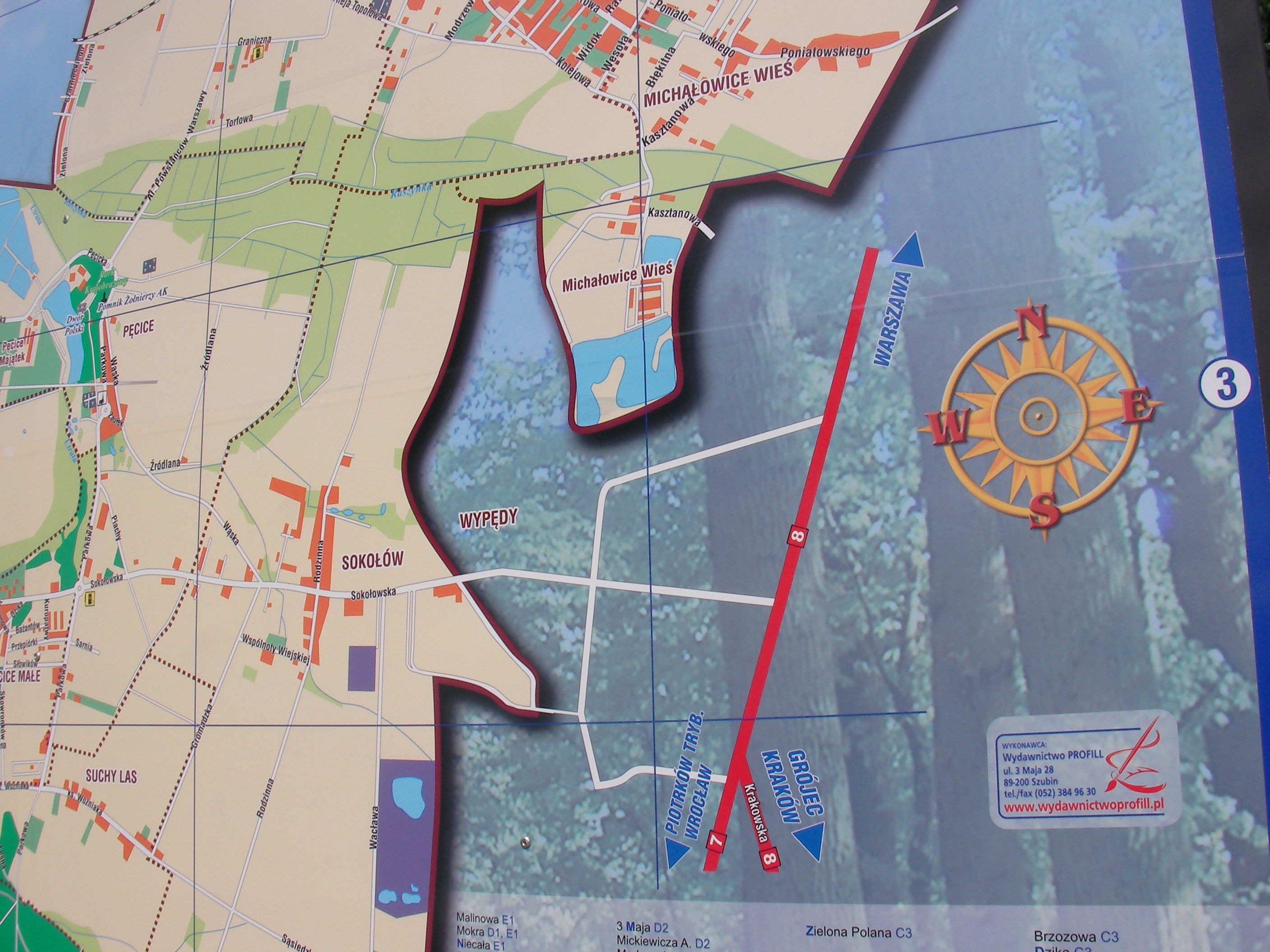
Gmina Michałowice
Big non-MSI map of seemingly all of Gmina (municipality) Michałowice near Warsaw, situated near the WKD train station Opacz in Opacz, by the Ryżowa street and bus stops. Approximate location.
- Overview, Bottom half, Bottom-left (Opacz-Kolonia), Left, Map key, Bottom, Top-right, Street finder right, Street finder left, Middle, Right, Top, Middle-left, Maker contact info, Top-right.
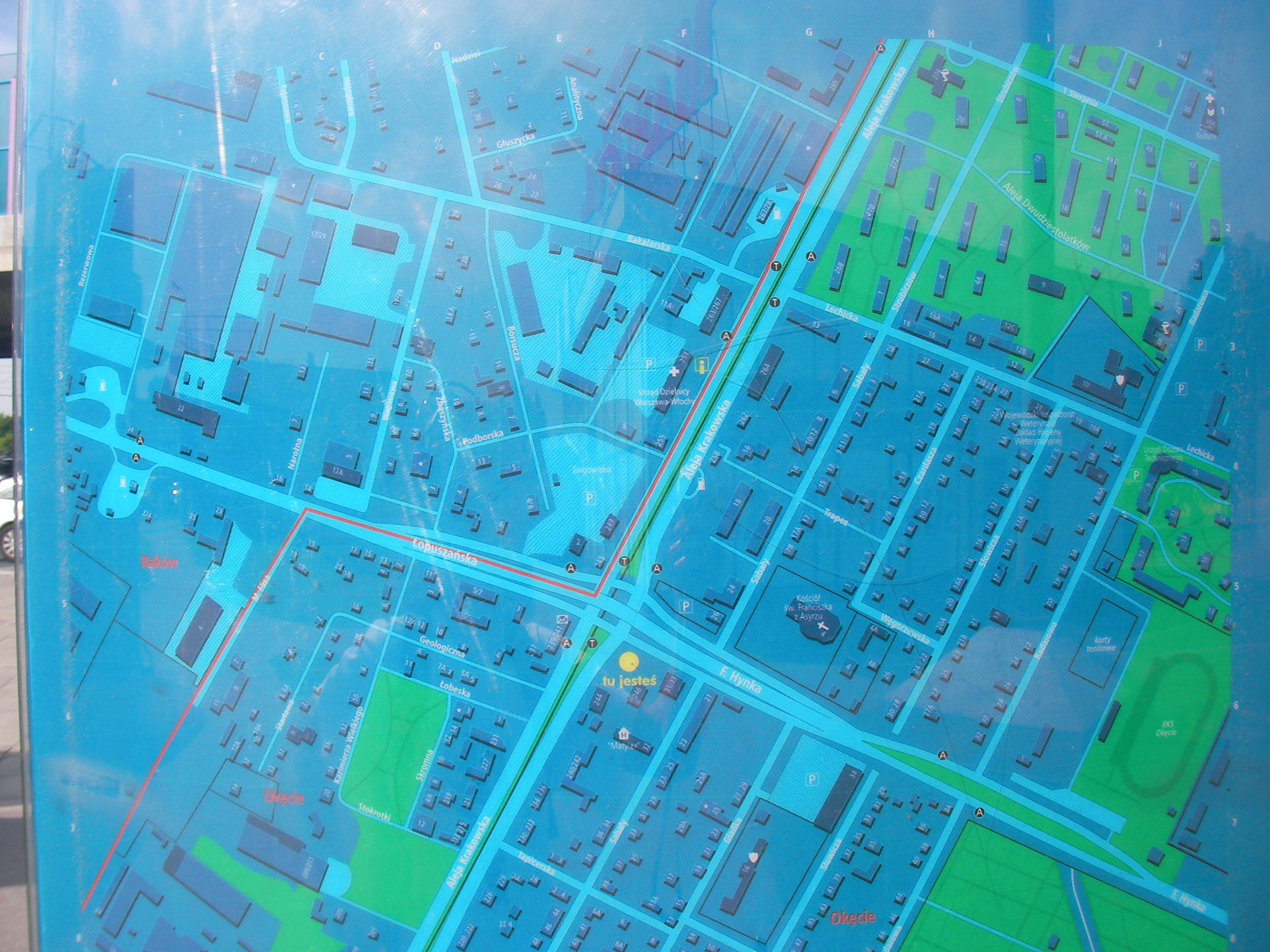
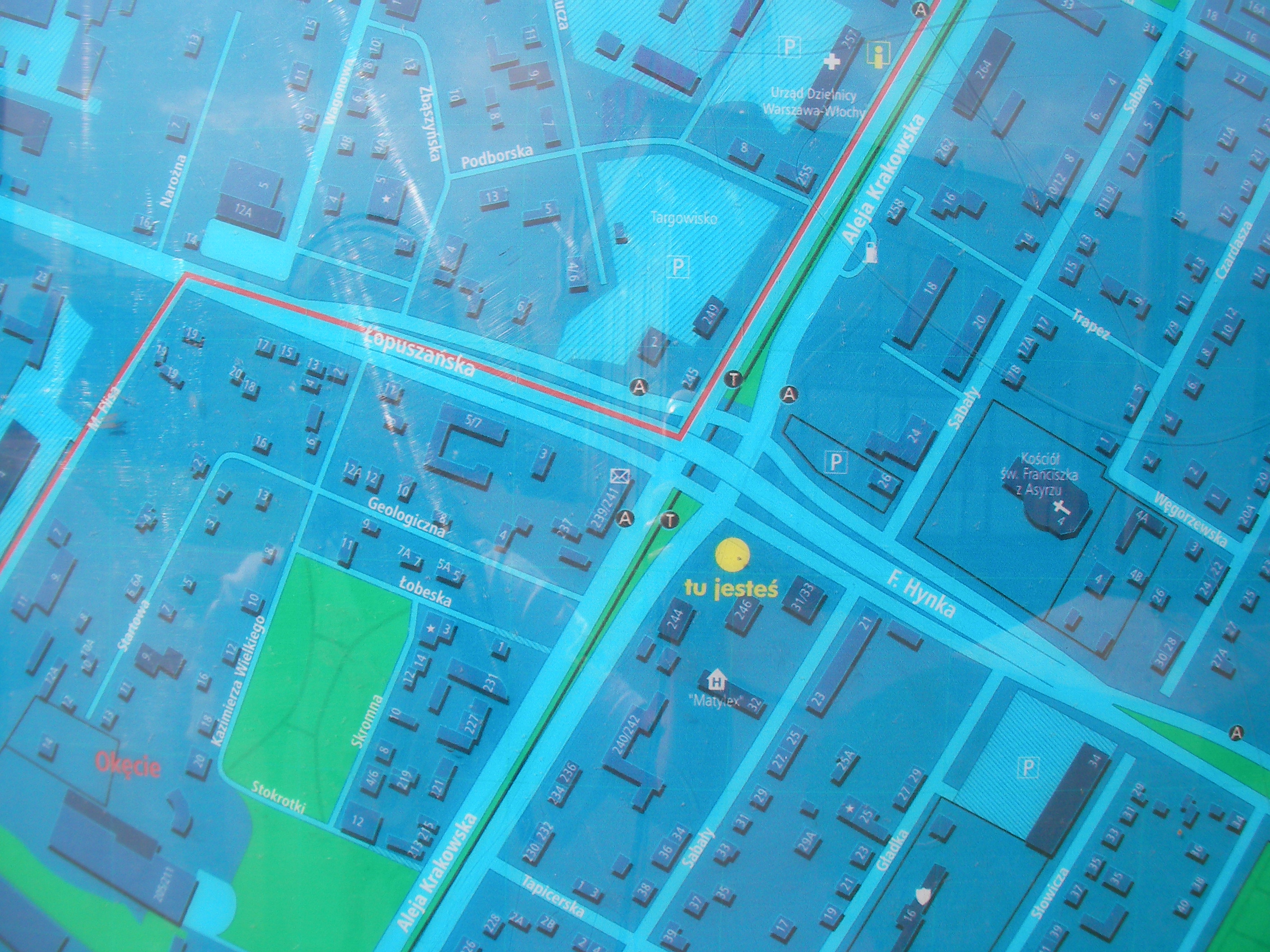
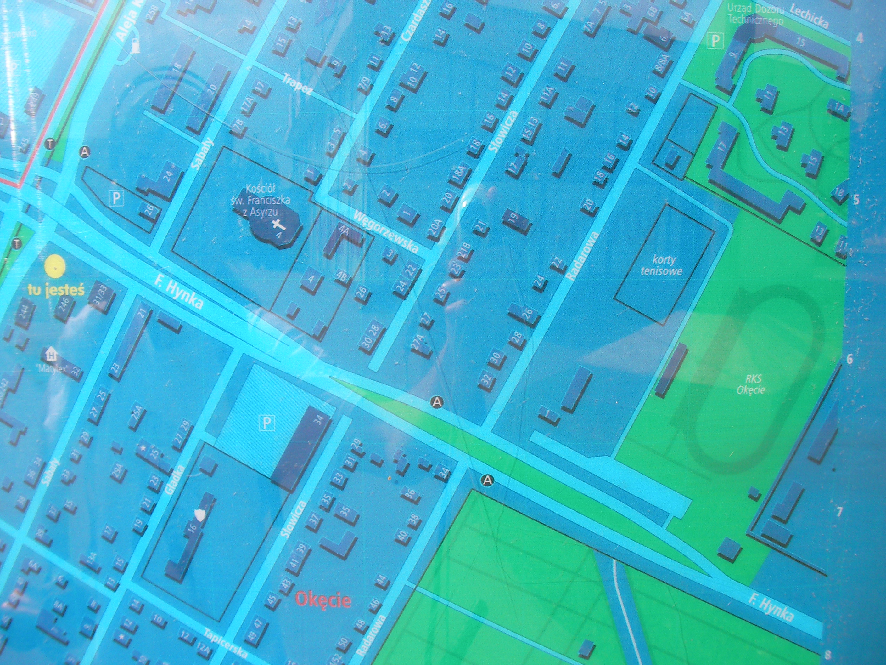
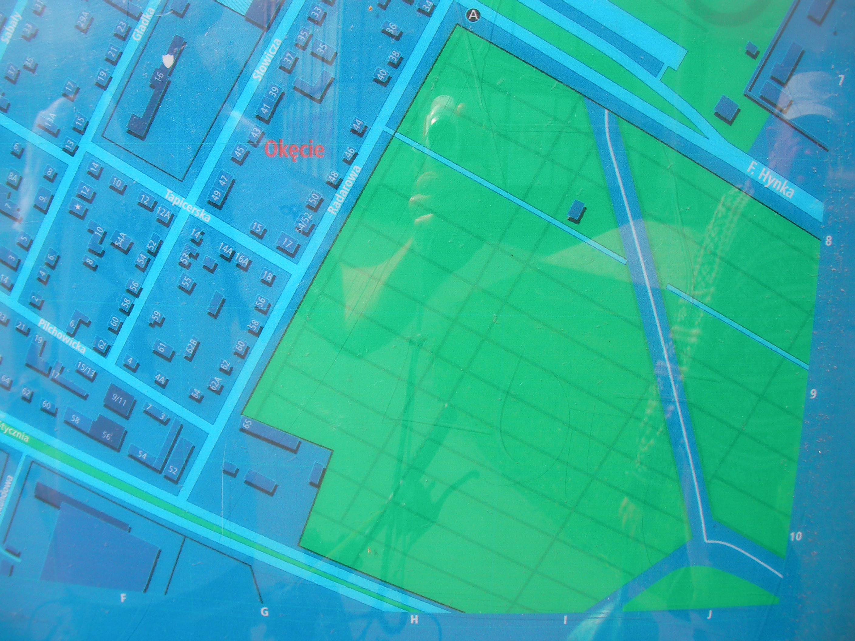
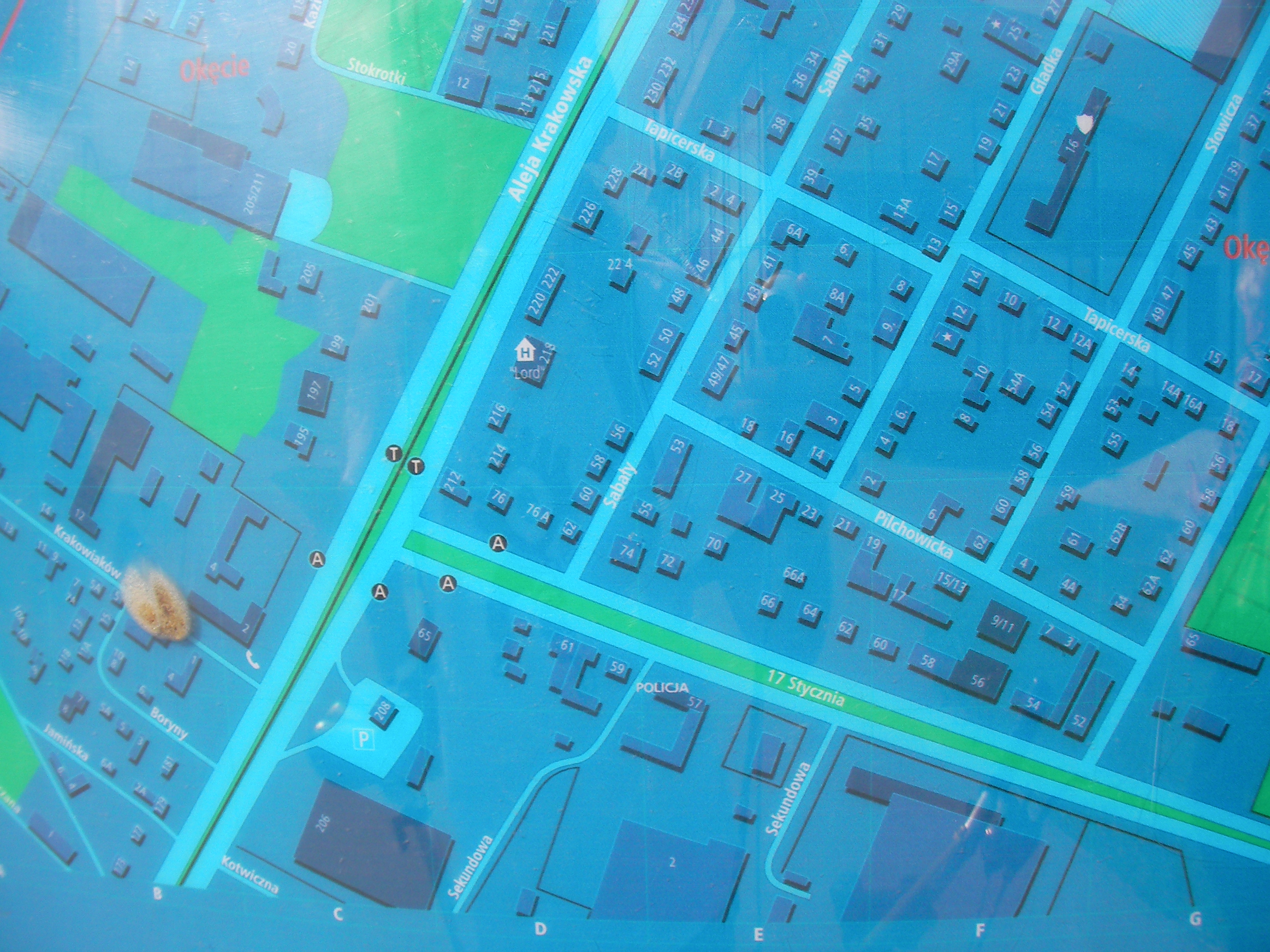
Hynka
South corner of the crossing between Aleja Krakowska and Hynka / Łopuszańska. Approximate location.
- Top half, Bottom-half, Top-right, Top, Top-left, Left, Middle, Right, Bottom-right, Bottom, Bottom-left, Map key (POIs).
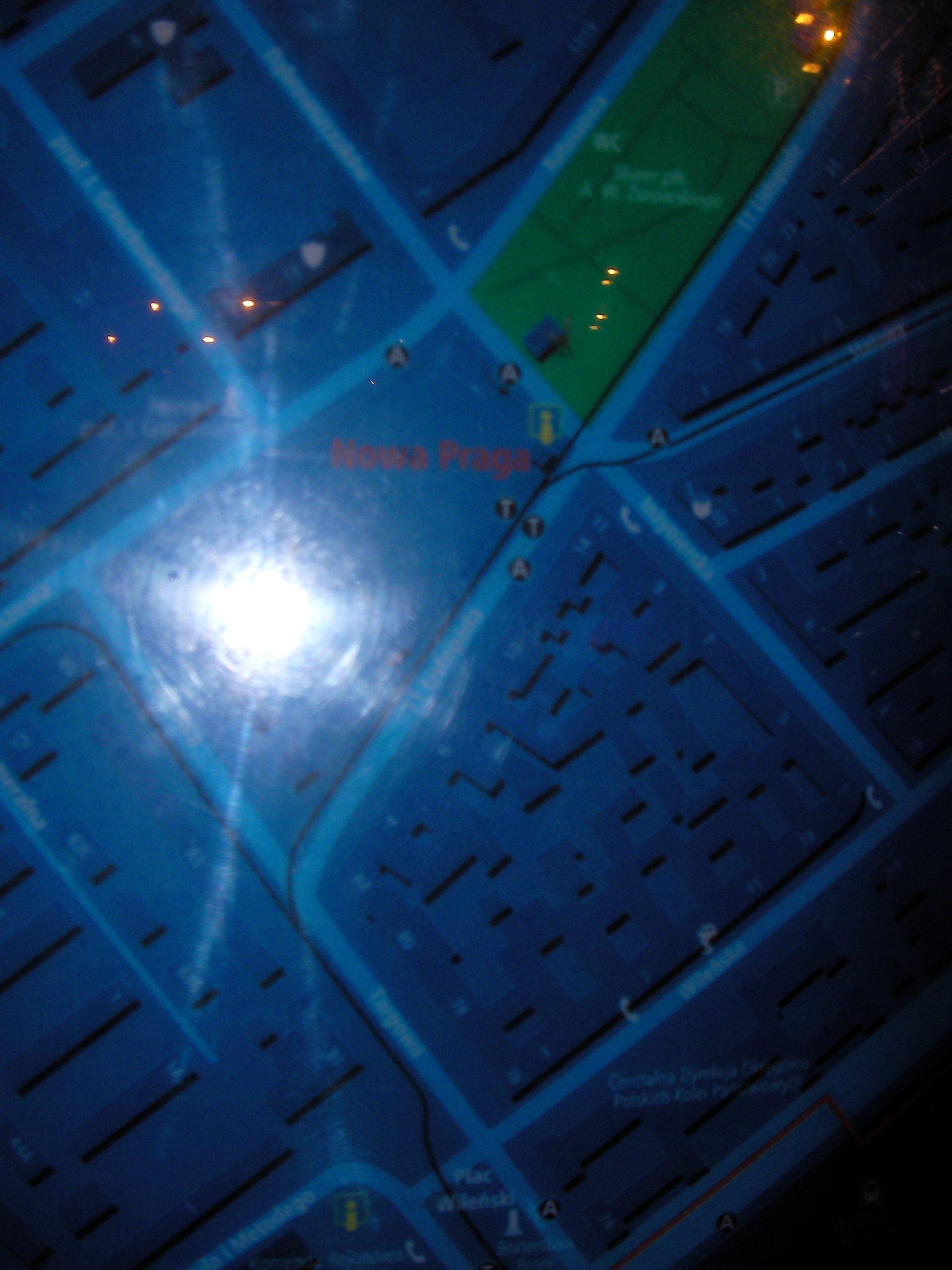
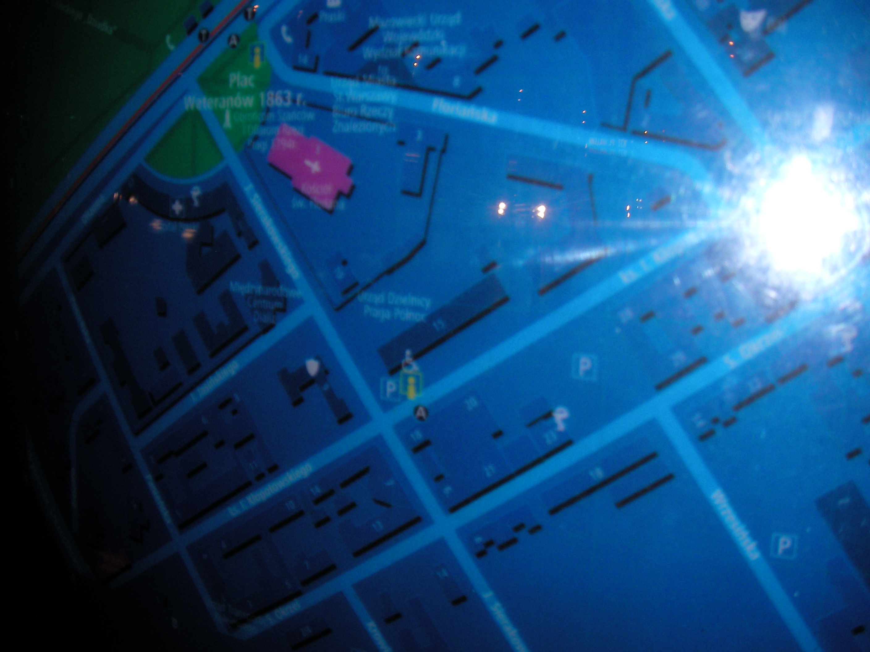
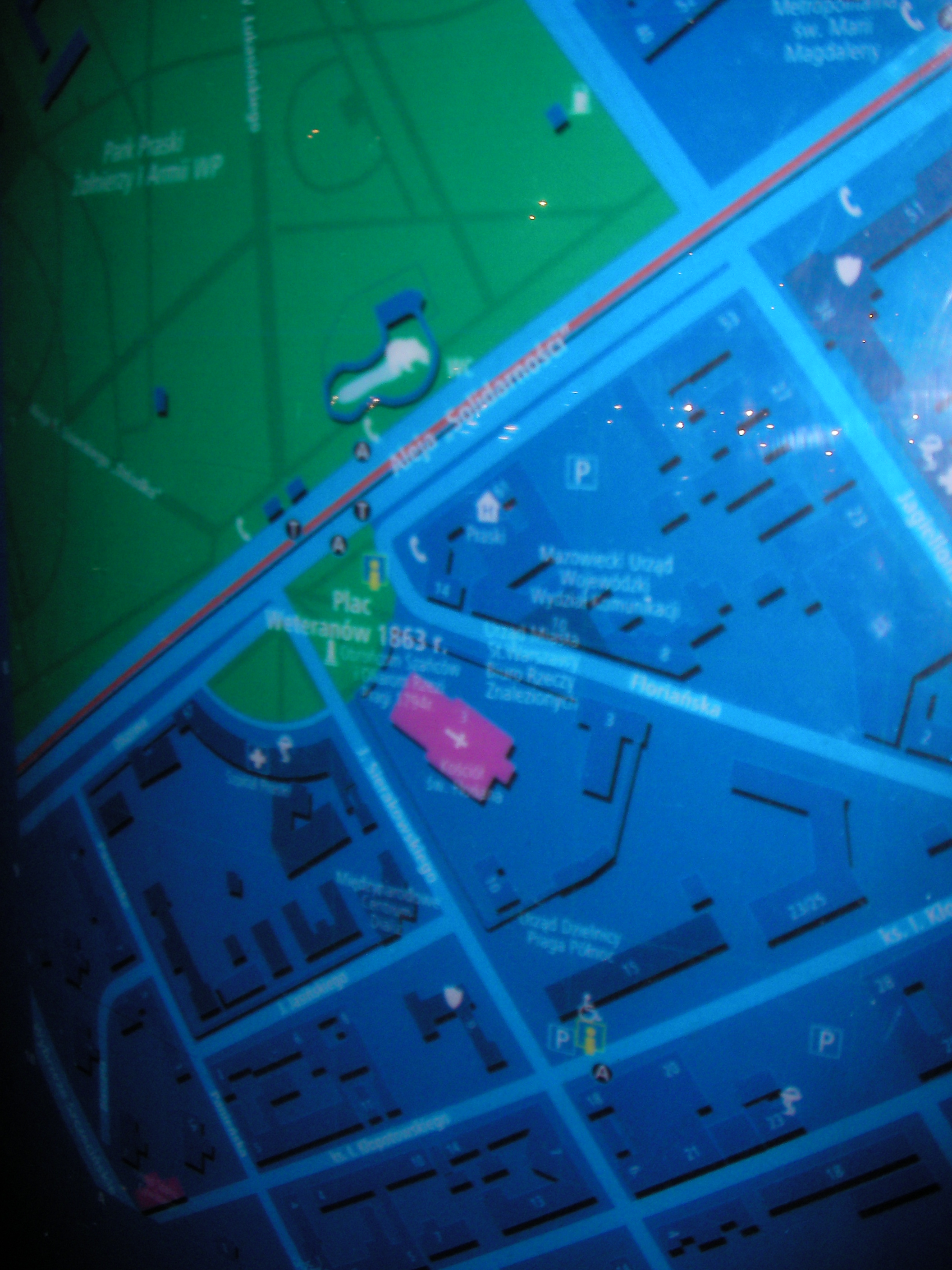
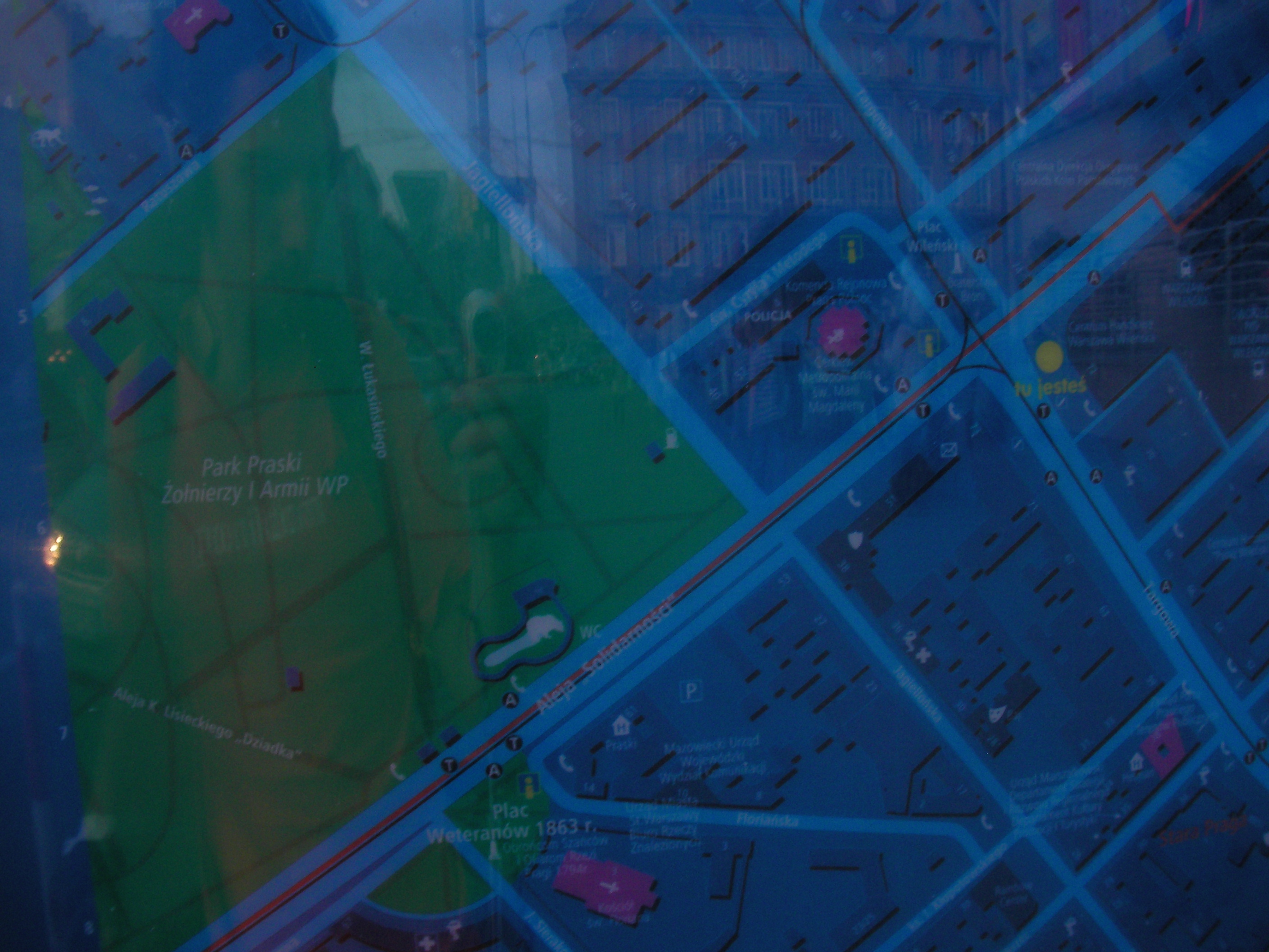
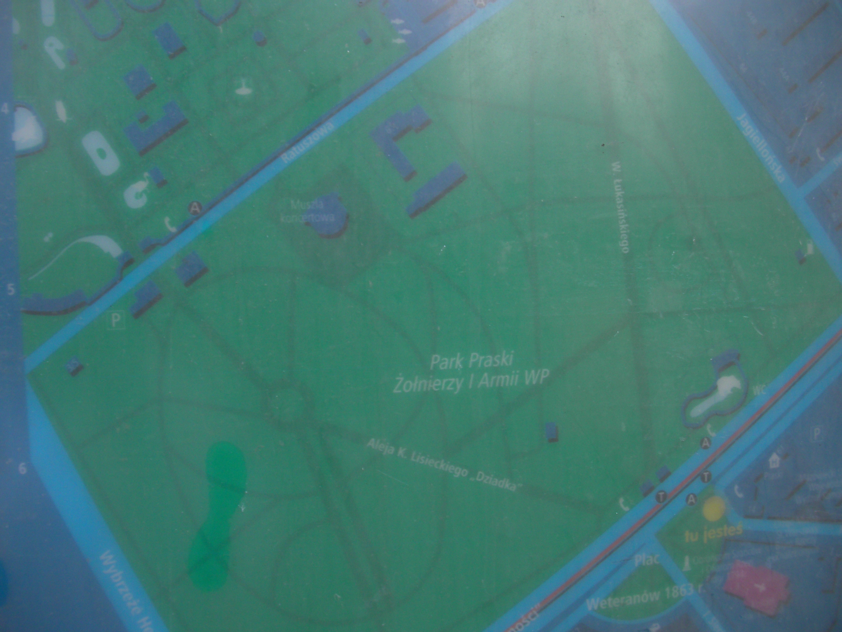
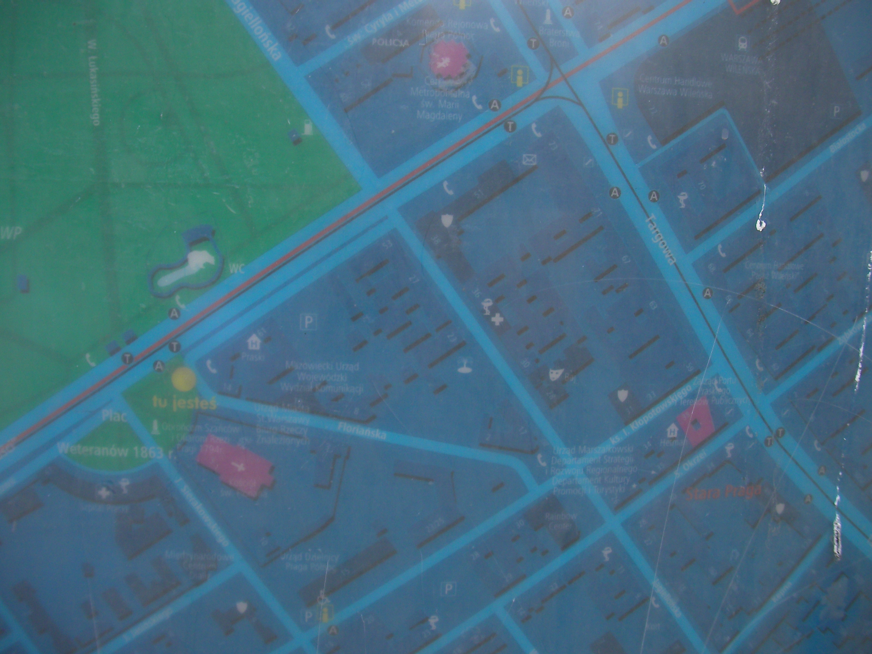
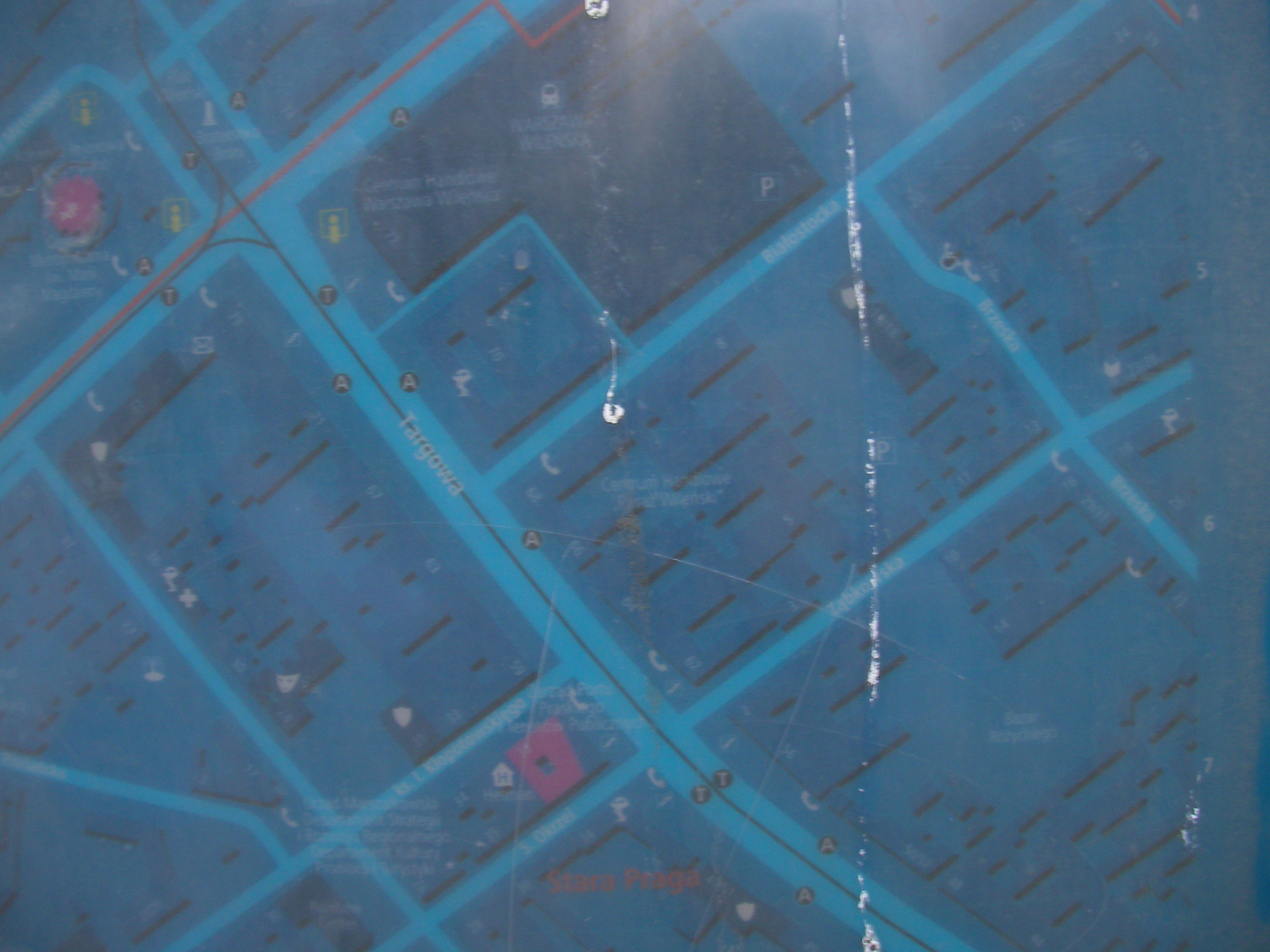
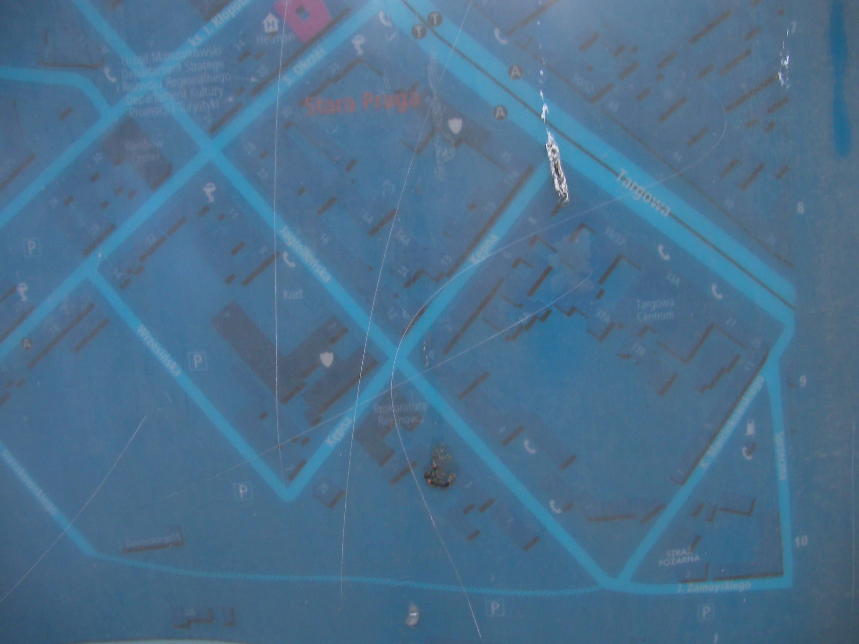
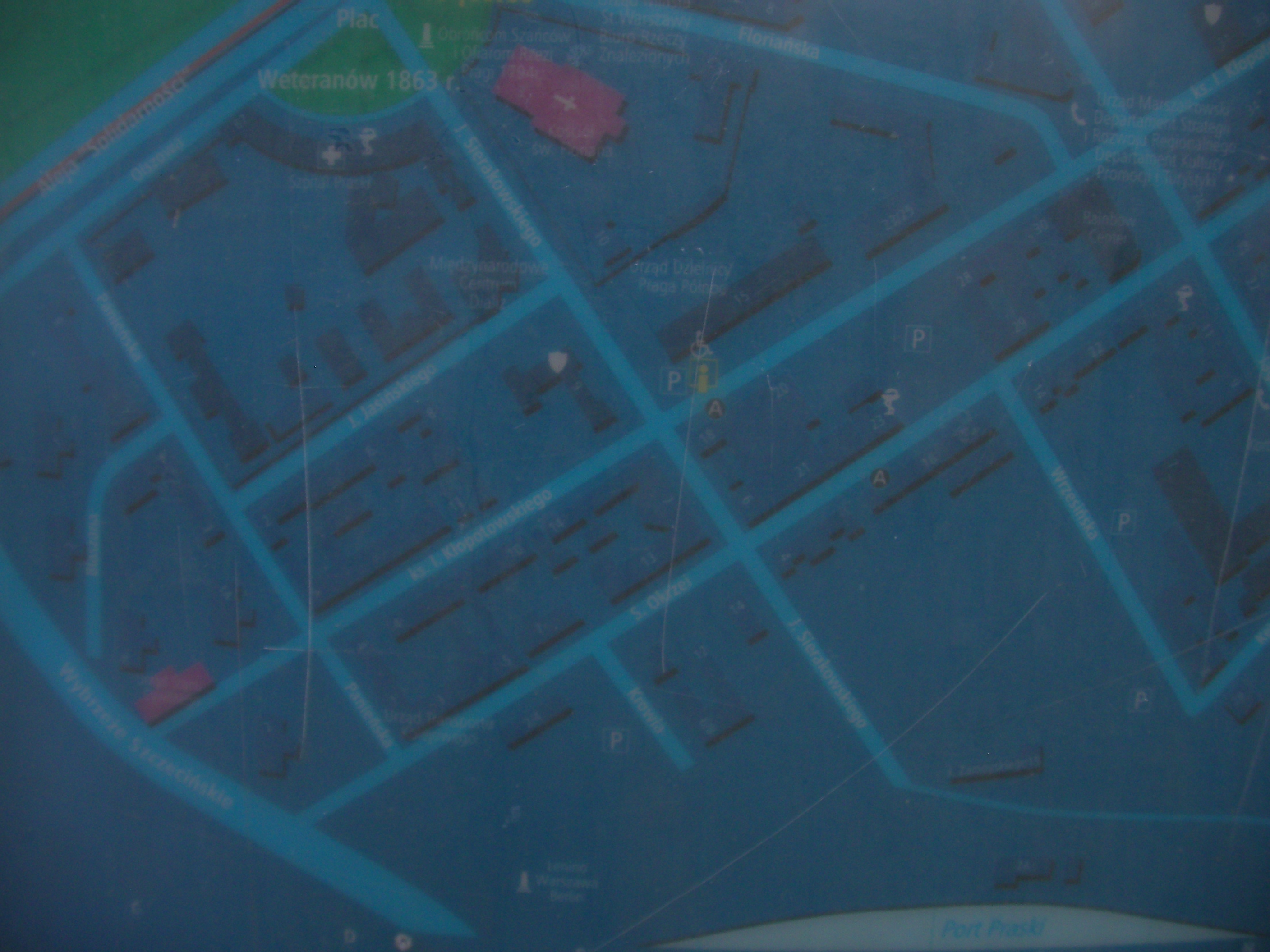
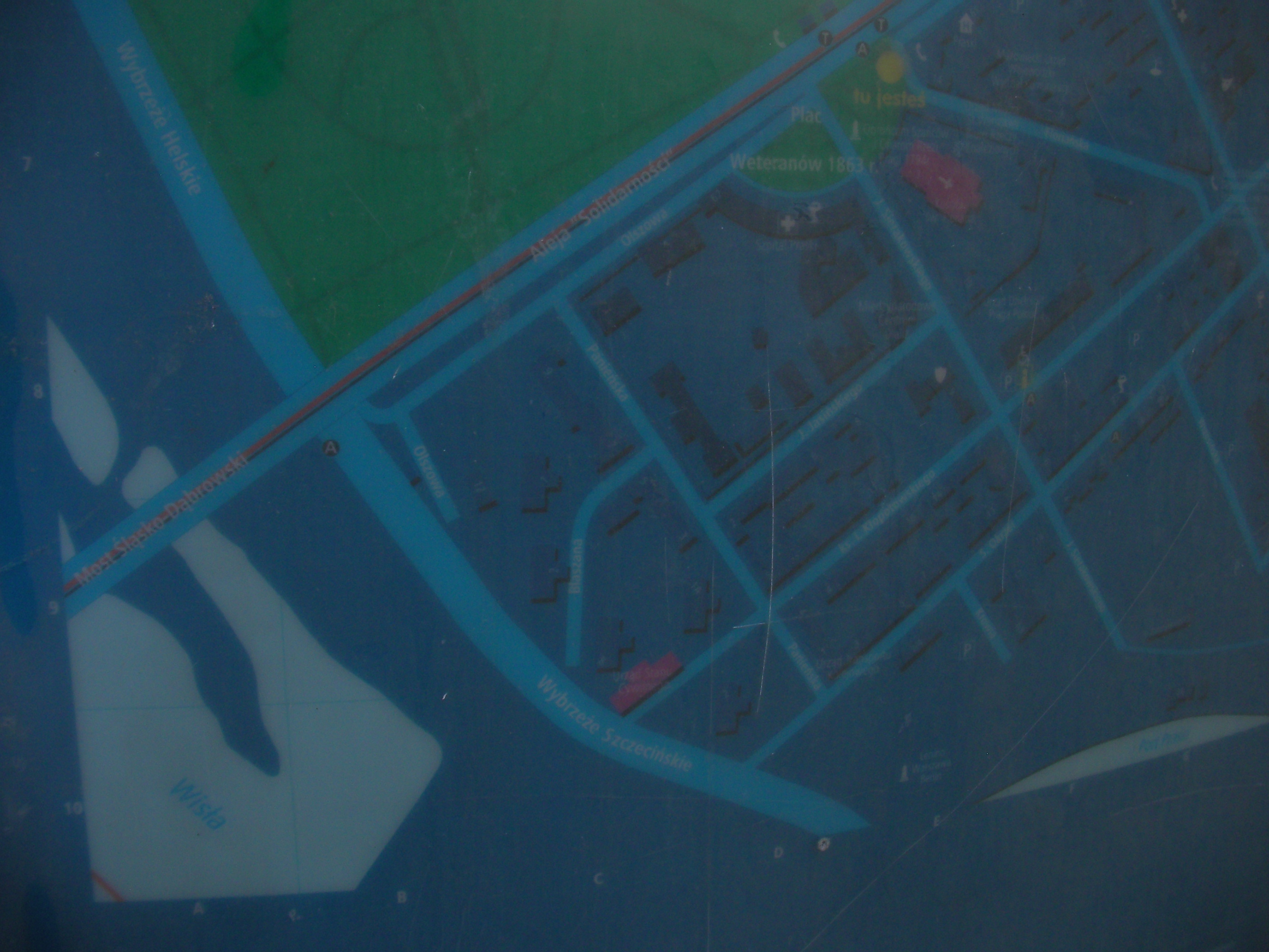
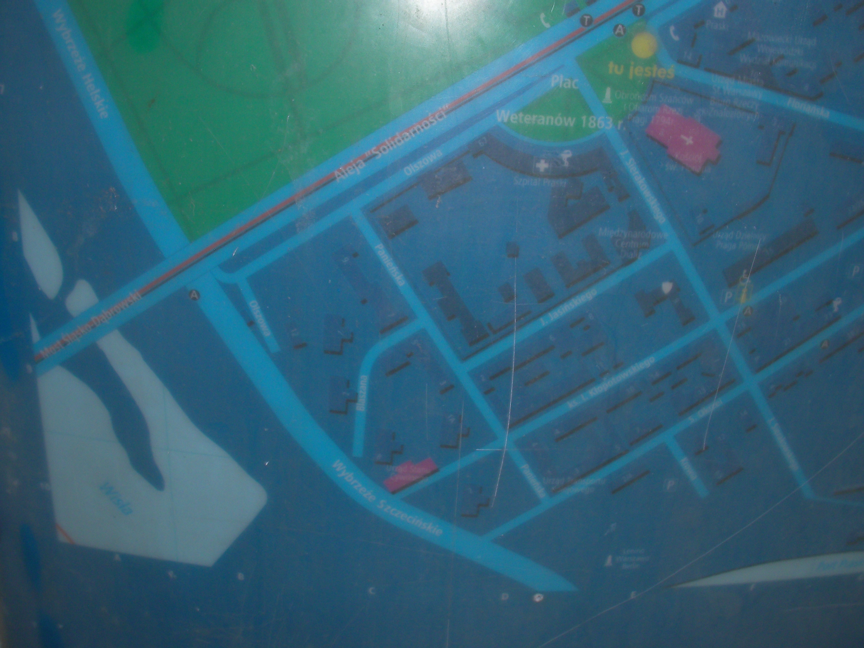
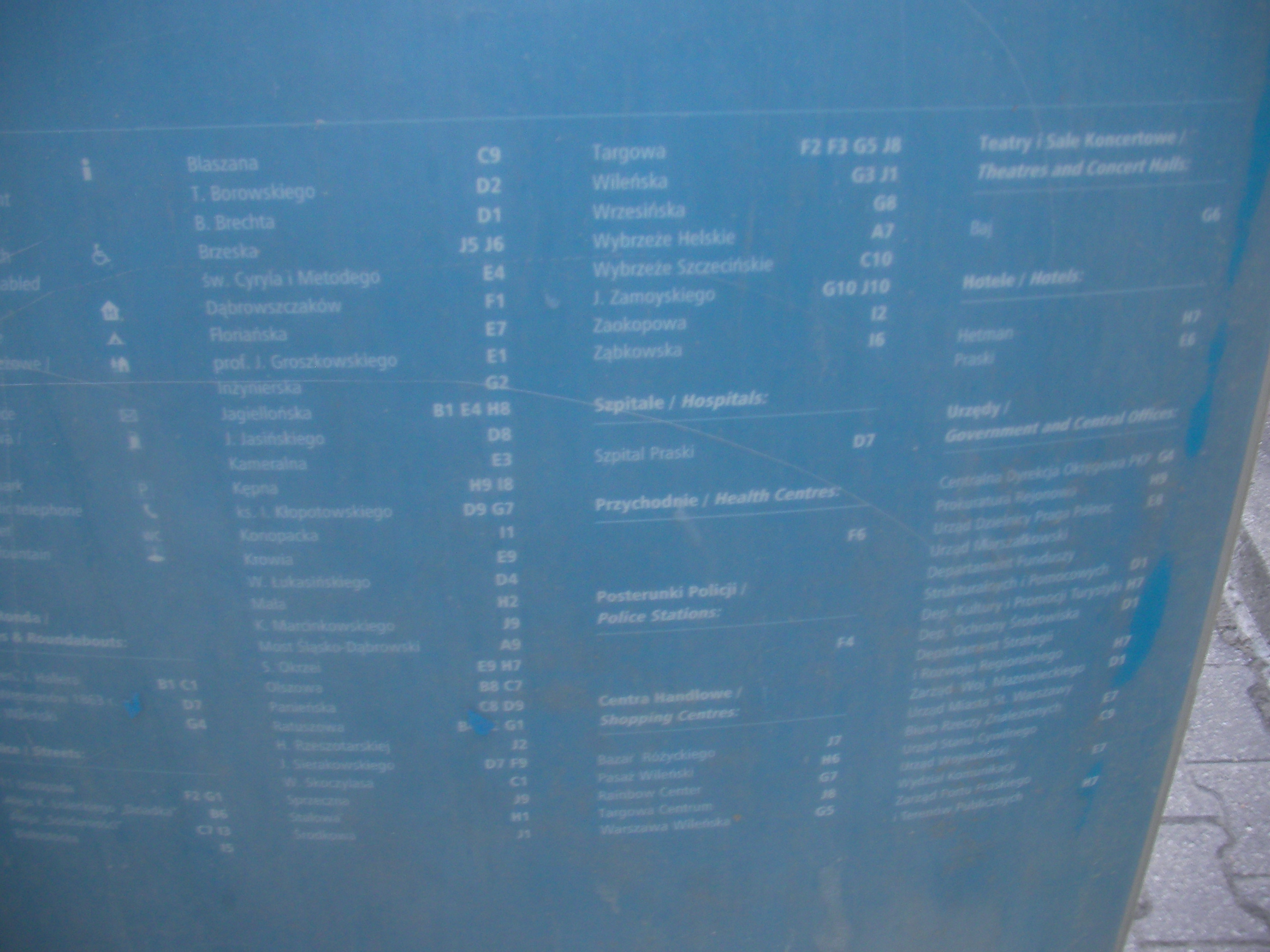
Weteranów 1863 Square
Near Warszawa Wileńska at the bus stop at Plac Weteranów 1863, crossing of Aleja "Solidarności" and Sierakowskiego, and just opposite side of the road from the Zoo and Park Praski. Approximate location.
- Some rather blurry pics. Top-right, Top, Top-left, Left, Middle, Right, Bottom-right, Bottom, Bottom, Bottom-left, Map key, Bottom-left, Map key, Middle.
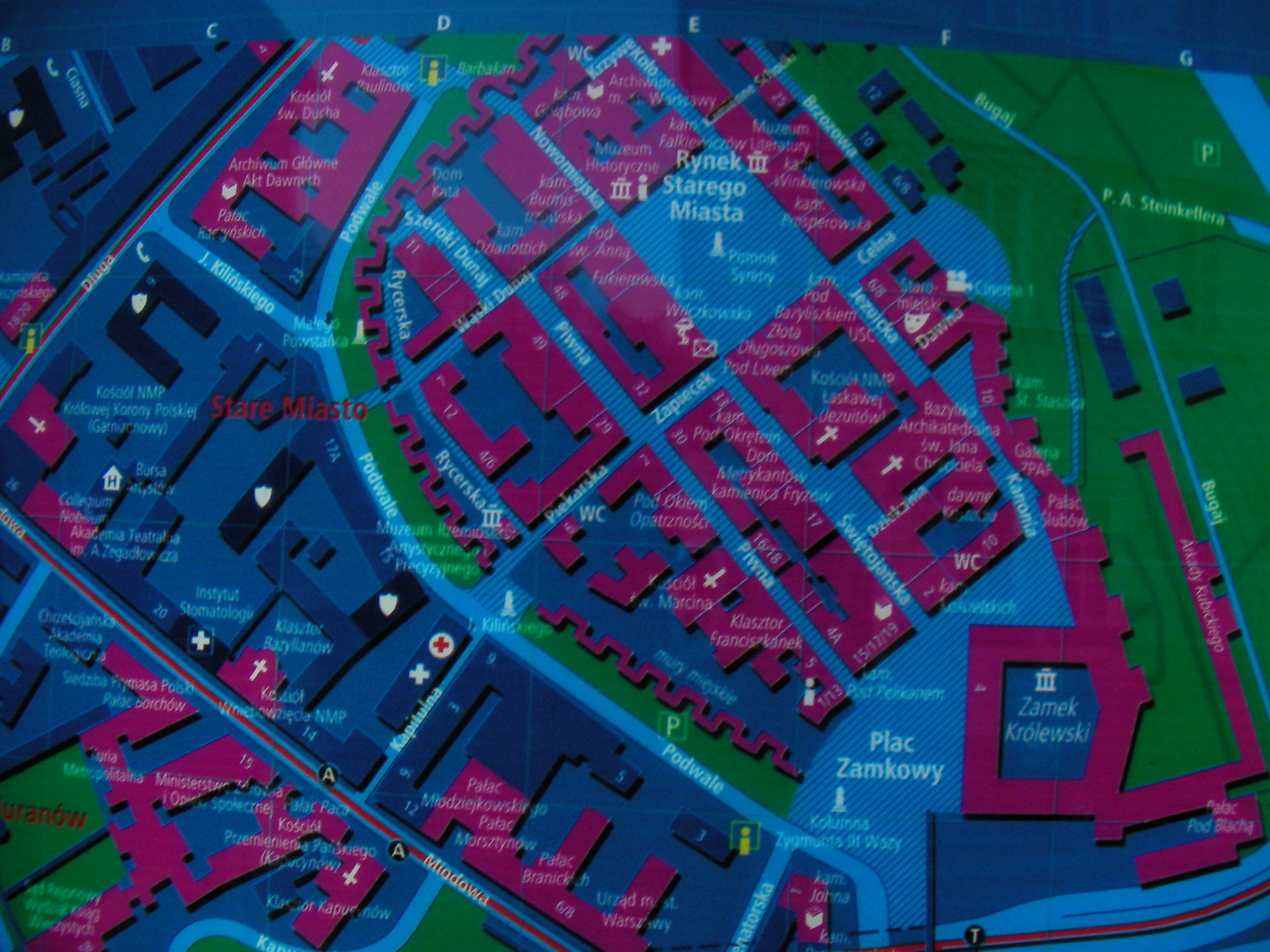
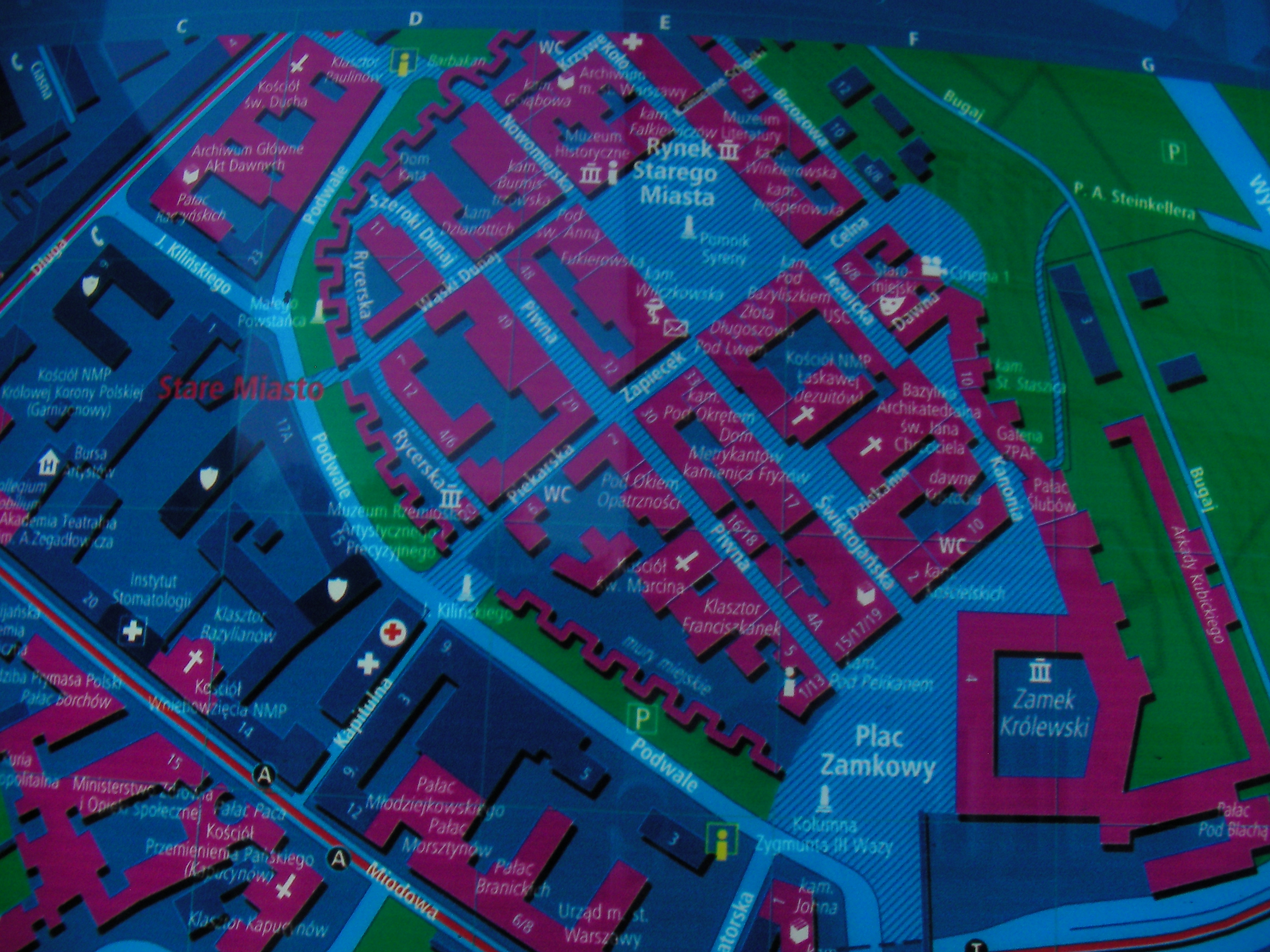
stare-miasto.com
Status: can be used with appropriate source= tag.
Not so much geographic data there but there is a bit of useful information. The website contains touristic and historic information on interesting objects in the area of Warsaw Old Town. I wanted to copy the house numbers from there together with the historic names of every building or monument. The content of the website is author's own research based on books. I talked to the owner and author on the phone the other day and he agrees to the use of the data under CC provided a link to his website is in the database.
Let's tag potential copied data with source=stare-miasto.com.