Featured images/Apr-Jun 2012
Jump to navigation
Jump to search


These are featured images, which have been identified as the best examples of OpenStreetMap mapping, or as useful illustrations of the OpenStreetMap project.
If you know another image of similar quality, you can nominate it on Featured image proposals.
| ← from April to June 2011 | ← from January to March 2012 | from July to September 2012 → | from April to June 2013 → |
Gallery of featured images, from April to June 2012
-
 2012, week 14
 -
 2012, week 15
 -
 2012, week 16
 -
 2012, week 17
 -
 2012, week 18
 -
 2012, week 19
 -
 2012, week 20
 -
 2012, week 21
 -
 2012, week 22
 -
 2012, week 23
 -
 2012, week 24
 -
 2012, week 25
 -
 2012, week 26
Details and captions
Week 14 (from Monday 2 April 2012 to Sunday 8 April 2012) [Edit]

- English : The Pearl-Qatar, being Doha's answer to the Palm Islands
Week 15 (from Monday 9 April 2012 to Sunday 15 April 2012) [Edit]

- English : Stamen's watercolour-style maps blur the boundary between fine art and map rendering.
Week 16 (from Monday 16 April 2012 to Sunday 22 April 2012) [Edit]

- English : OSM2world gives the first slippy-map where you can rotate a 3d view.
Week 17 (from Monday 23 April 2012 to Sunday 29 April 2012) [Edit]

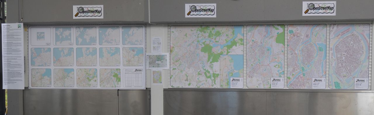
- English : 18 zoom-levels (1:250.000.000 - 1:2.000) of Lübeck City
Week 18 (from Monday 30 April 2012 to Sunday 6 May 2012) [Edit]

- English : On 28th of March a governor of Chelyabinsk Region, Russia was presented a city traffic management system based on OpenStreetMap. Photo ©gubernator74.ru
Week 19 (from Monday 7 May 2012 to Sunday 13 May 2012) [Edit]

- English : Out mapping in Brazil - hackers from São Paulo did an "Ônibus Hacker" bus trip to Ribeirão Preto to teach 12-14 year olds how to map
Week 20 (from Monday 14 May 2012 to Sunday 20 May 2012) [Edit]

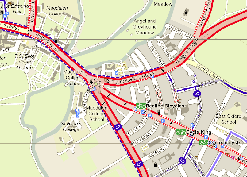
- English : Oxford cycle map highlights roads with cycle tracks alongside
Week 21 (from Monday 21 May 2012 to Sunday 27 May 2012) [Edit]

- English : Map from State Of The Map U.S. 2012's website
Week 22 (from Monday 28 May 2012 to Sunday 3 June 2012) [Edit]

- English : OpenStreetMap's technology makes it easy to create fictional maps, for example Inspector Lewis' version of Oxford (at minute 55), modified to include plot-specific details
Week 23 (from Monday 4 June 2012 to Sunday 10 June 2012) [Edit]

- English : Land polygons created with OSMCoastline from coastlines in OSM. The polygons are split into overlapping smaller polygons to make them easier to handle.
Week 24 (from Monday 11 June 2012 to Sunday 17 June 2012) [Edit]

- English : FlightGear aircraft shown over OpenStreetMap's detail of KSFO airport.
Week 25 (from Monday 18 June 2012 to Sunday 24 June 2012) [Edit]

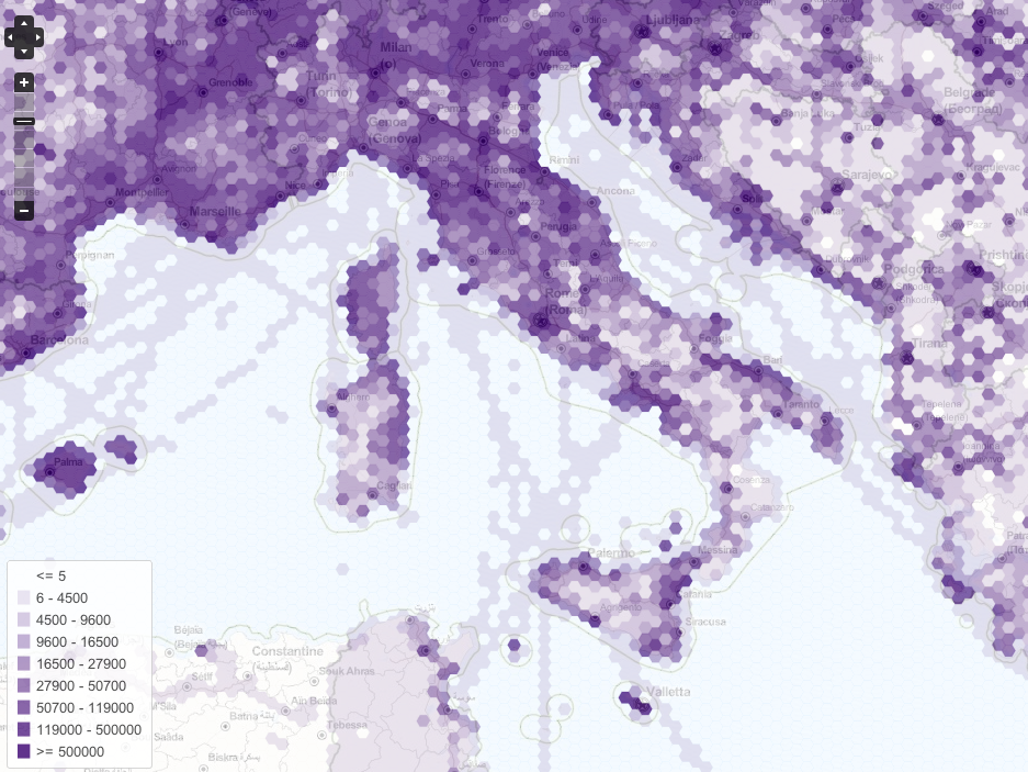
- English : Density of GPS data collected by OSM [1]
Week 26 (from Monday 25 June 2012 to Sunday 1 July 2012) [Edit]

- English : AJ Ashton's Pirate Maps show-off Mapnik's new features