File:樹林登山步道成果2014-01-18 15.40.04.png
Jump to navigation
Jump to search

Size of this preview: 800 × 500 pixels. Other resolutions: 320 × 200 pixels | 640 × 400 pixels | 988 × 617 pixels.
Original file (988 × 617 pixels, file size: 292 KB, MIME type: image/png)
Summary
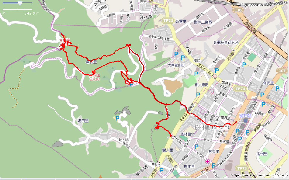
樹林大同山、青龍嶺登山路徑,GPS套疊
Licensing
![]()
![]()
This screenshot contains OpenStreetMap Carto rendering.
The OpenStreetMap Carto map style is made available under the Creative Commons CC-0 1.0 Universal Public Domain Dedication.
- Attribution to the map data:
| Contains map data © OpenStreetMap contributors, made available under the terms of the Open Database License (ODbL).
The ODbL does not require any particular license for maps produced from ODbL data, produced maps may be subject also to other licences. |
File history
Click on a date/time to view the file as it appeared at that time.
| Date/Time | Thumbnail | Dimensions | User | Comment | |
|---|---|---|---|---|---|
| current | 07:41, 18 January 2014 | | 988 × 617 (292 KB) | Supaplex (talk | contribs) | 樹林大同山、青龍嶺登山路徑,GPS套疊 |
You cannot overwrite this file.
File usage
The following page uses this file: