File:Lancaster.png
Jump to navigation
Jump to search

Size of this preview: 379 × 599 pixels. Other resolutions: 152 × 240 pixels | 304 × 480 pixels | 881 × 1,392 pixels.
Original file (881 × 1,392 pixels, file size: 131 KB, MIME type: image/png)
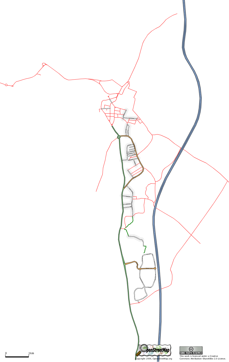
Lancaster, as Osmarender sees it (roads without highway= tags are in thin red, see Map Features and Category:Editing)
![]()
Contains map data © OpenStreetMap contributors, made available under the terms of the Creative Commons Attribution-ShareAlike 2.0 (CC-BY-SA-2.0).
File history
Click on a date/time to view the file as it appeared at that time.
| Date/Time | Thumbnail | Dimensions | User | Comment | |
|---|---|---|---|---|---|
| current | 15:17, 2 June 2006 | | 881 × 1,392 (131 KB) | Mwelchuk (talk | contribs) | Lancaster, as Osmarender sees it (roads without highway= tags are in thin red, see Map Features and Category:Editing) |
| 17:25, 23 May 2006 | 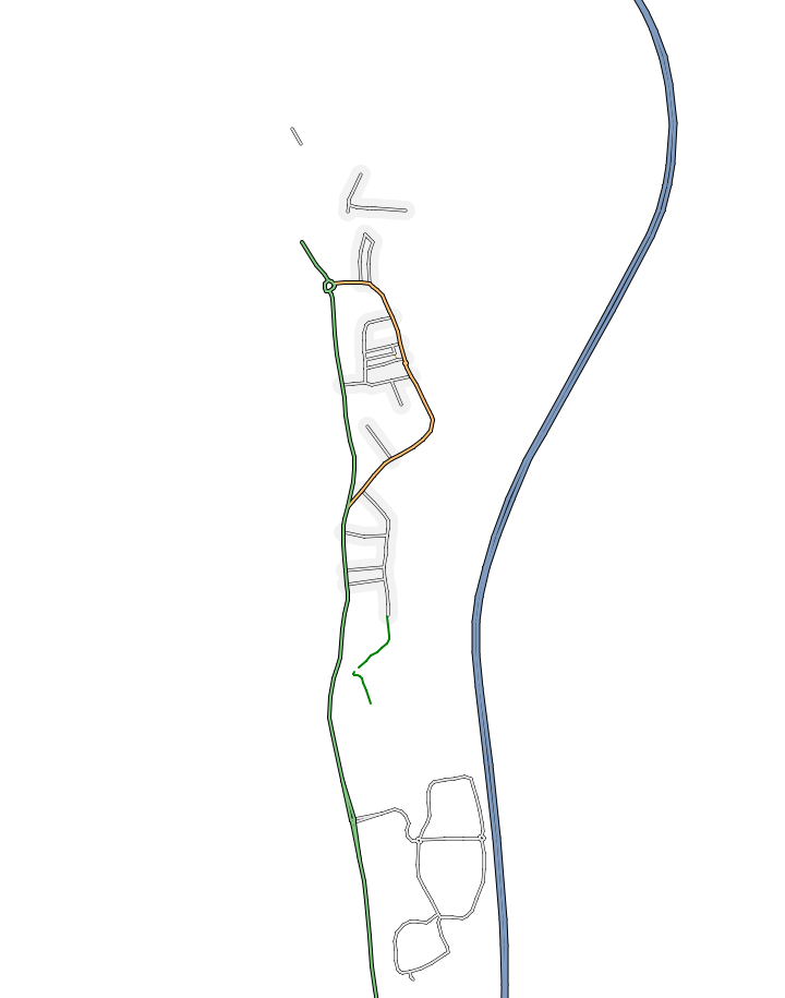 | 720 × 915 (57 KB) | Ojw (talk | contribs) | Lancaster, as Osmarender sees it (roads without highway= tags are invisible) |
You cannot overwrite this file.
File usage
There are no pages that use this file.