File:Leuven-gps.png
Jump to navigation
Jump to search

No higher resolution available.
Leuven-gps.png (615 × 376 pixels, file size: 28 KB, MIME type: image/png)
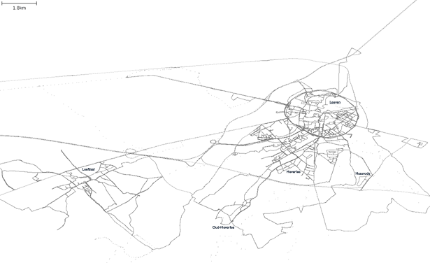
Uploaded GPS points for Leuven and surroundings, Belgium.
Licensing
![]()
Contains map data © OpenStreetMap contributors, made available under the terms of the Creative Commons Attribution-ShareAlike 2.0 (CC-BY-SA-2.0).
File history
Click on a date/time to view the file as it appeared at that time.
| Date/Time | Thumbnail | Dimensions | User | Comment | |
|---|---|---|---|---|---|
| current | 15:08, 26 November 2006 | | 615 × 376 (28 KB) | Cimm (talk | contribs) | Status update |
| 20:24, 8 November 2006 | 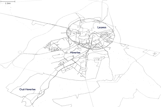 | 565 × 375 (63 KB) | Cimm (talk | contribs) | Updated version | |
| 09:50, 27 October 2006 | 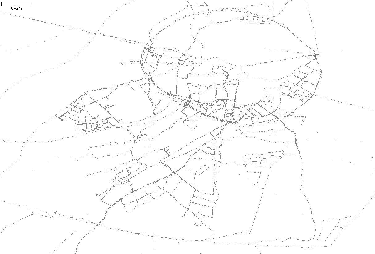 | 1,215 × 822 (36 KB) | Cimm (talk | contribs) | Uploaded GPS points for Leuven and surroundings, Belgium. |
You cannot overwrite this file.
File usage
The following 2 pages use this file: