Korea Streetsigns history
Jump to navigation
Jump to search
This page is intended to record the history of Korean street addresses. From now on we should aim to record the new style (after 2009) addresses, although it is possible the older addressing styles will persist for some time.
User vineldi has provided this example of the progression of Korean street signs and addressing.
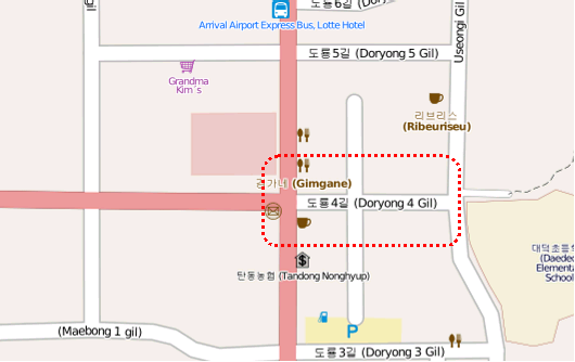
This example refers to the same road located at 36° 23´ 08.5“, 127° 22´ 45.0“ View on OSM

In the old block numbering system before c.1999 the address was
397-x, Doryong-dong
In c.1999 a new addressing scheme was introduced. This roadsign was installed at that time:

In c.2009 another new addressing scheme was introduced. This roadsign was installed

For this street sign the following tags should be used:
highway=residential
name=대덕대로590번길
name:en=Daedeok-daero 590beon-gil
name:ko=대덕대로590번길
name:ko-Latn=Daedeokdaero obaeg-aheun beongil