Uploads by Ævar Arnfjörð Bjarmason
Jump to navigation
Jump to search
This special page shows all uploaded files.
| Date | Name | Thumbnail | Size | Description | Versions |
|---|---|---|---|---|---|
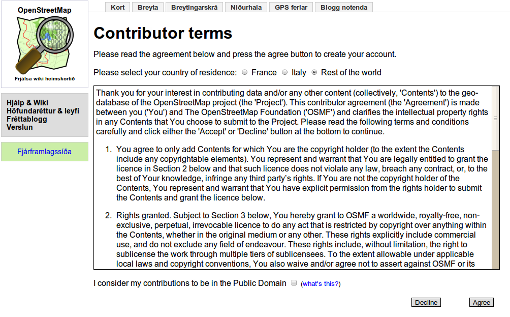
| 21:44, 14 May 2010 | New-contributor-terms.png (file) |  |
201 KB | From the in-progress work at http://github.com/avar/openstreetmap-website/compare/master...topic/human-readable-contributor-terms | 1 |
| 15:18, 12 May 2010 | Contributor-terms.png (file) |  |
156 KB | The new contributor terms. | 1 |
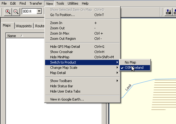
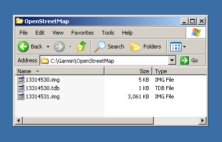
| 02:44, 19 September 2009 | Garmin MapSource installer - MapSource product menu.png (file) |  |
12 KB | 1 | |
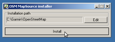
| 02:33, 19 September 2009 | Garmin MapSource Installer.png (file) |  |
4 KB | 1 | |
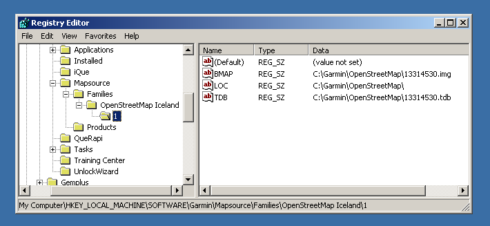
| 02:32, 19 September 2009 | Garmin MapSource Installer - Regedit.png (file) |  |
11 KB | 1 | |
| 02:31, 19 September 2009 | Garmin MapSource Installer - OpenStreetMap.png (file) |  |
12 KB | 1 | |
| 11:46, 10 June 2009 | Tah-heatmap default rendering thumb 512px.png (file) |  |
104 KB | 512 px thumbnail of Image:Tah-heatmap default rendering.png. Here because MediaWiki can't handle giant PNG image resizing. | 1 |
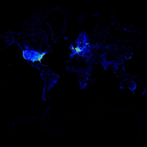
| 10:42, 10 June 2009 | Tah-heatmap default rendering.png (file) |  |
1.31 MB | The default output of Tah-heatmap. {{PD}} | 1 |
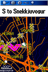
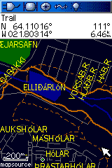
| 17:11, 15 January 2009 | Garmin-map-of-Iceland-Routeable-2.png (file) |  |
4 KB | 1 | |
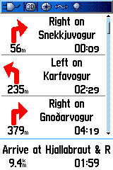
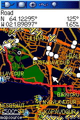
| 17:10, 15 January 2009 | Garmin-map-of-Iceland-Routeable-1.png (file) |  |
10 KB | 1 | |
| 17:10, 15 January 2009 | Garmin-map-of-Iceland-Cyclemap.png (file) |  |
8 KB | 1 | |
| 17:10, 15 January 2009 | Garmin-map-of-Iceland-Fossvogur.png (file) |  |
13 KB | 1 | |
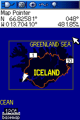
| 17:10, 15 January 2009 | Garmin-map-of-Iceland-Iceland.png (file) |  |
5 KB | 1 | |
| 03:43, 4 January 2009 | 2009-01-04-Iceland.png (file) |  |
120 KB | Iceland today. {{CC-BY-SA}} | 1 |
| 01:05, 1 December 2008 | Rendering-area-boundary-national park.png (file) |  |
4 KB | Derived from Image:Rendering-area-boundary-administrative.png. Changed the Hue in gimp to approx resemble the t@h rendering. | 1 |
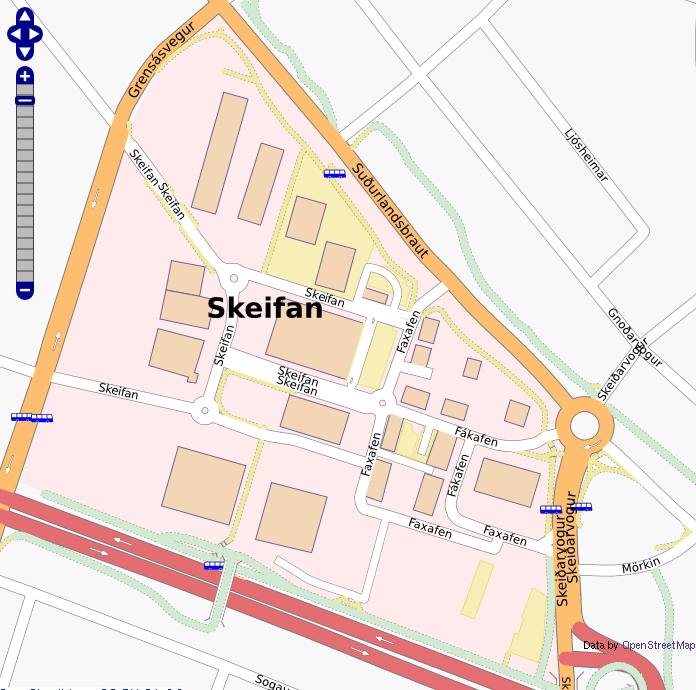
| 23:25, 28 September 2008 | Skeifan-2008-09-28.png (file) |  |
346 KB | {{CC-SA}} | 1 |
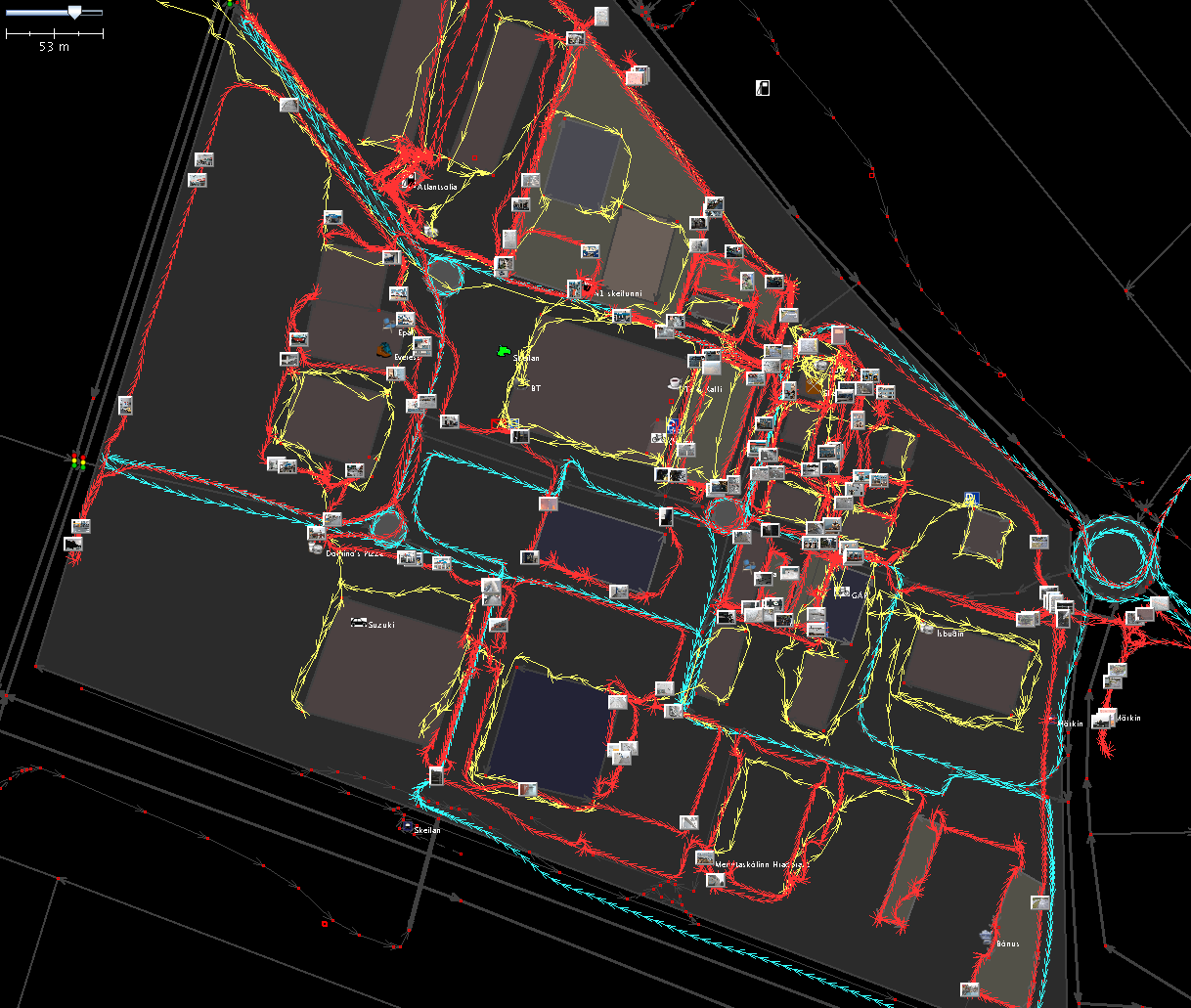
| 00:06, 22 September 2008 | Skeifan-mapping-party-josm.png (file) |  |
330 KB | {{CC-SA}} | 1 |
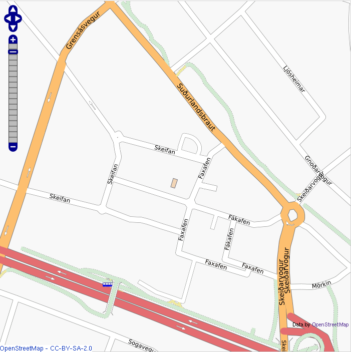
| 17:05, 21 September 2008 | Skeifan-2008-08-20.png (file) |  |
259 KB | {{CC-SA}} Skeifan before the 2008-09-21 mapping party. | 1 |
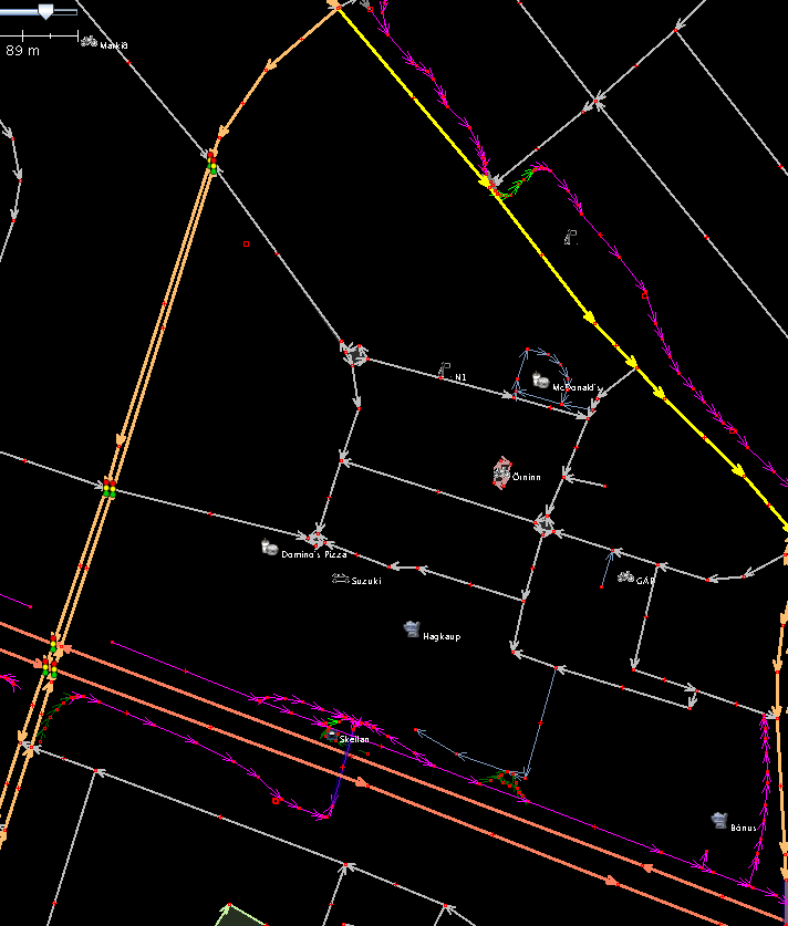
| 16:22, 19 September 2008 | Mapping-party-2008-09-21-skeifan-before.png (file) |  |
48 KB | {{CC-SA}} | 1 |
| 23:49, 2 September 2008 | Reykjavik-2008-09-02-z12-mapnik.png (file) |  |
301 KB | A map export of Reykjavík taken today. | 1 |
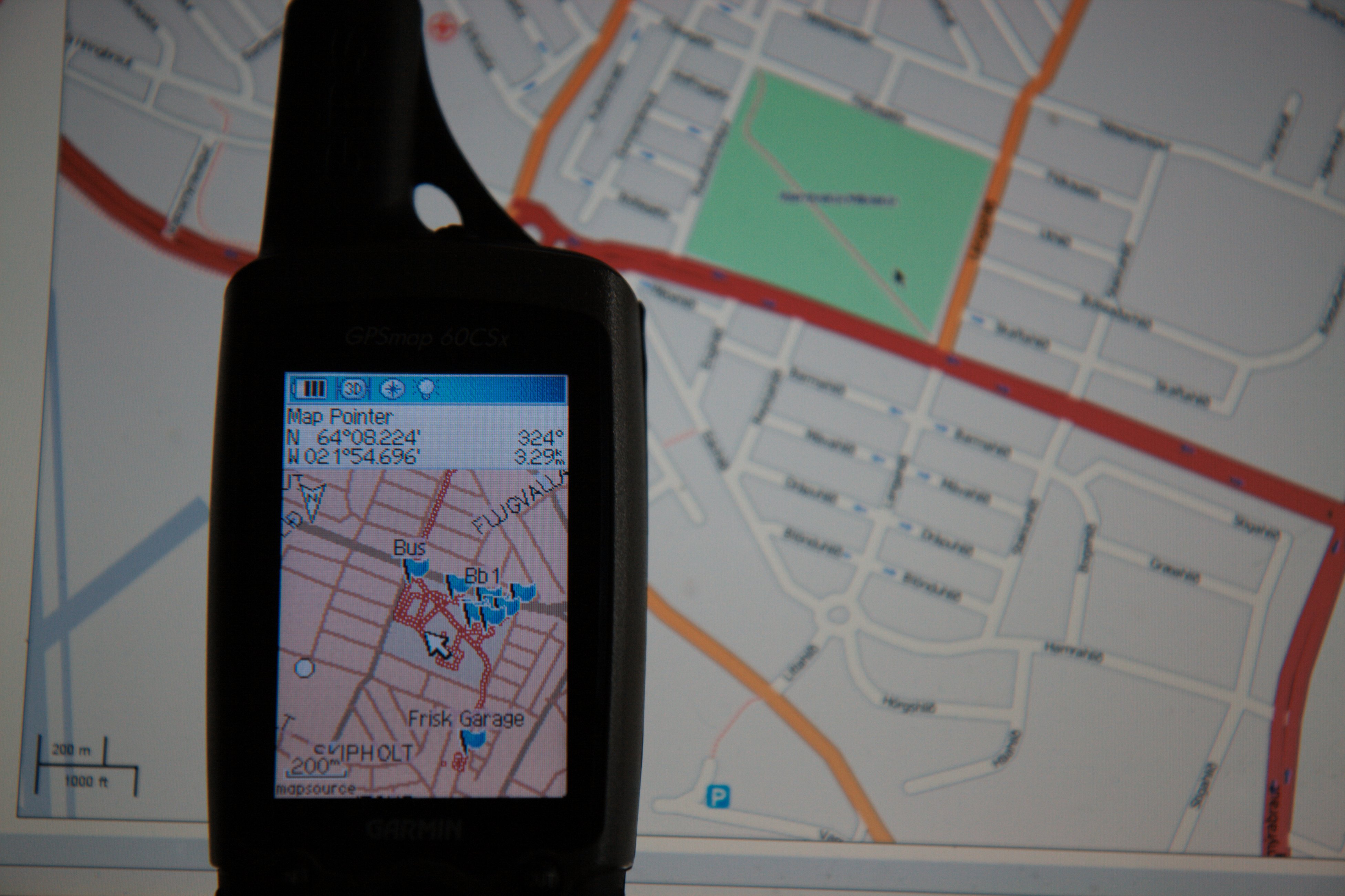
| 00:19, 23 July 2008 | 2694083856 65bfb86a35 o d.jpg (file) |  |
1.02 MB | A garmin map of Miklatún in Reykjavík on a Garmin GPSMAP 60CSx for use on Garmin map of Iceland. Complete album: http://flickr.com/photos/avarab/sets/72157606321727527/ {{CC-SA}} | 1 |