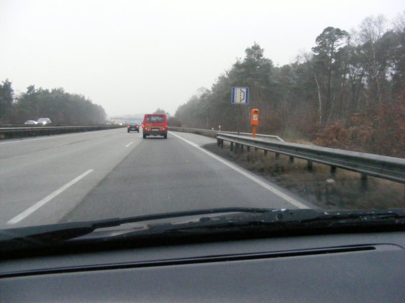
Proposal:Emergency bay
Jump to navigation
Jump to search
|
The proposal emergency_bay was built without a vote and the tagging is widely established based on this proposal. The Feature Page for the proposal emergency_bay is located at Tag:highway=emergency_bay. |
| emergency_bay | |
|---|---|
| Proposal status: | Proposals with undefined or invalid status (inactive) |
| Proposed by: | ersthelfer |
| Tagging: | highway=emergency_bay |
| Applies to: | node |
| Definition: | A place that allows an emergency stop on fast driving lanes |
| Statistics: |
|
| Rendered as: | * |
| Draft started: | 2010-03-31 |
Why ?
- Because the knowledge of upcoming emergency bays can be helpful to a driver with a mechanical problem or a health problem.
- Because such bays are not proper lanes for driving, they can't be modeled as an increase in lanes=* for the length of the emergency bay.
Example
Tagging
highway = emergency_bay
Rendering
IconUrl=http://wiki.openstreetmap.org/index.php/Image:Zeichen_328_-_Nothalte-_und_Pannenbucht,_StVO_2006.svg, Width=12:5;17:20) ![]()
Discussion
See Discussion-Page.
Please add the hyperlink to the rfc mail on talk mailinglist here.
